Trails near Prato
120 hikes starting within 15 km, nearest first.
Nearest first, page 1 of 3
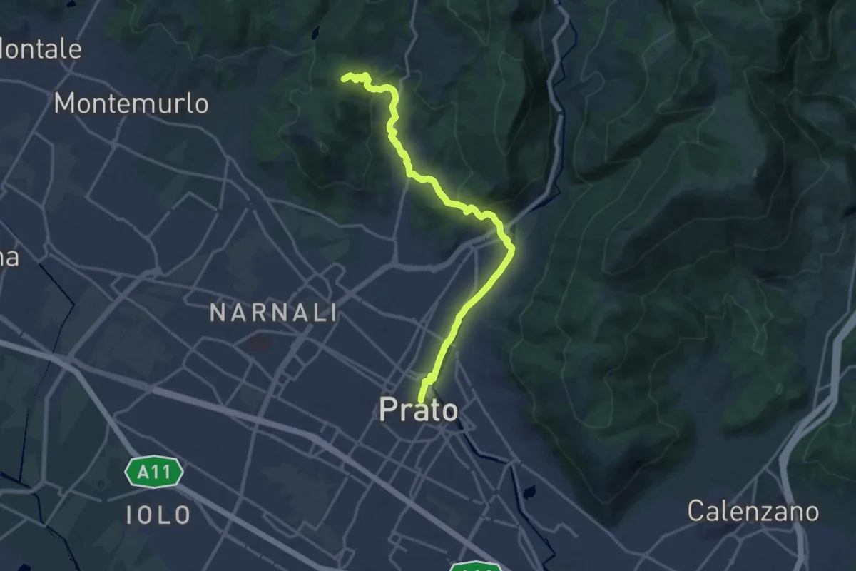
Medium · Summit
Il Cammino di San Jacopo - Tappa 2
17.4 km · ↑ 500 m · 5 h 11 min · under 1 km away
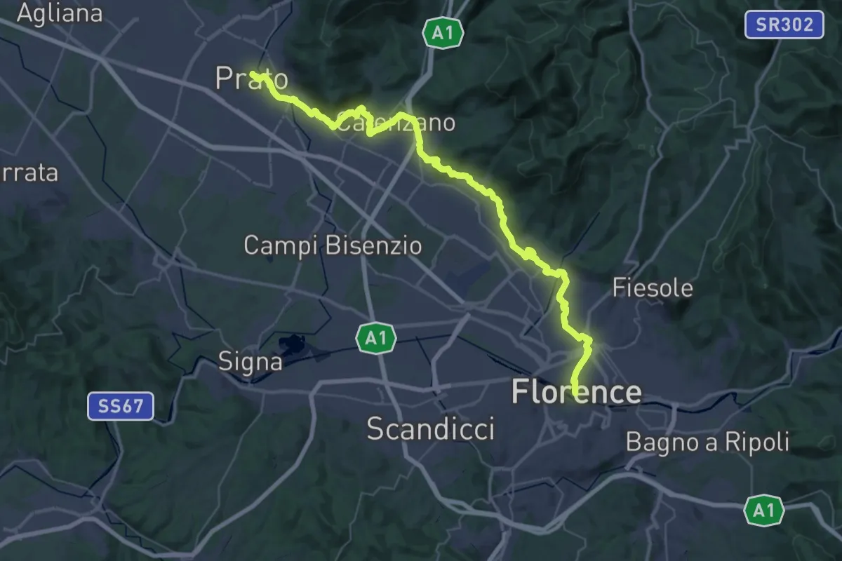
Demanding · Trail
Il Cammino di San Jacopo - Tappa 1
26.9 km · ↑ 437 m · 7 h 40 min · under 1 km away
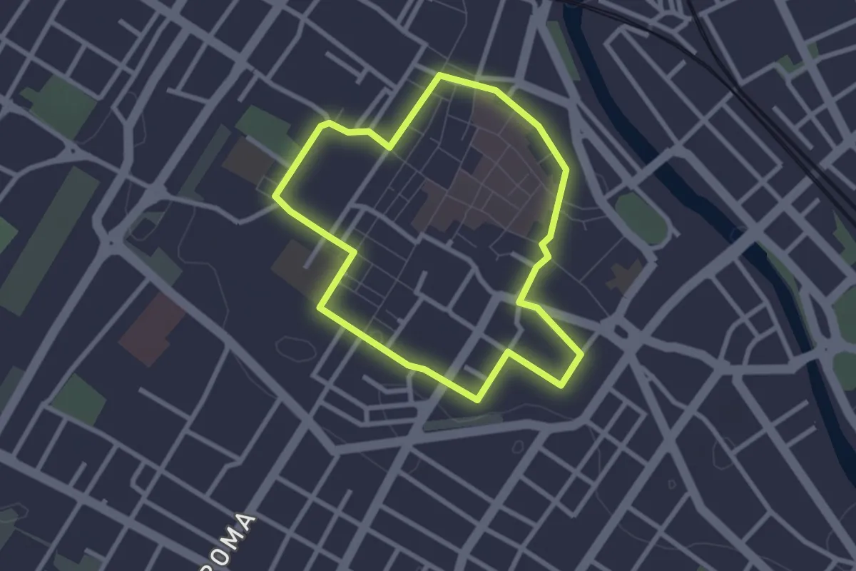
Easy · Trail
Capire la città
2.5 km · ↑ 8 m · 38 min · under 1 km away
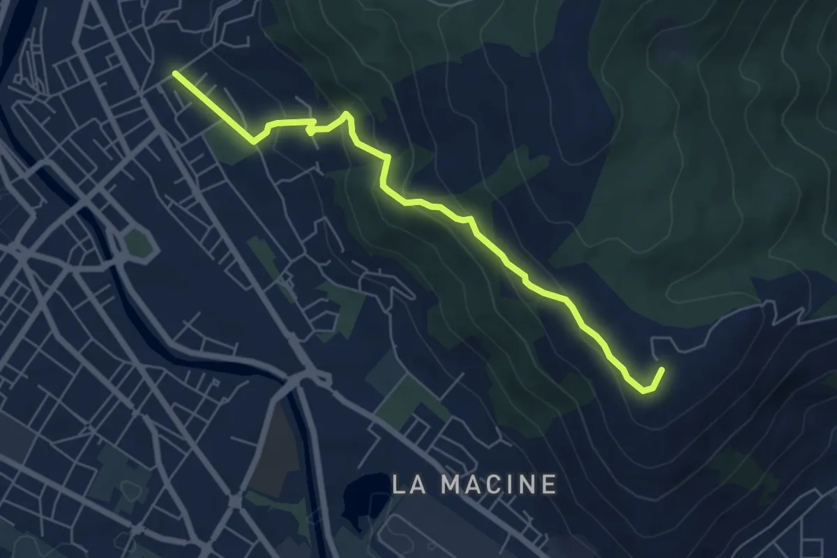
Medium · Summit
Prato (località Cappuccini) – poggio Castiglione
6.1 km · ↑ 326 m · 2 h 10 min · 1 km away
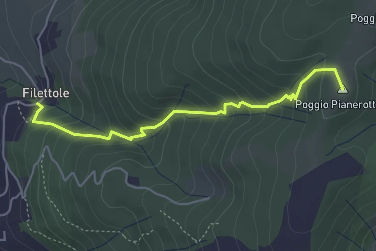
Medium · Summit
Filettole – Via di Travalle
4.1 km · ↑ 363 m · 1 h 45 min · 2 km away
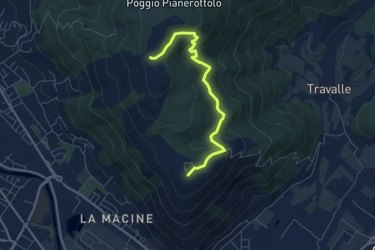
Easy · Summit
Case Castiglione – Casa Rossa
6.2 km · ↑ 273 m · 2 h 3 min · 3 km away
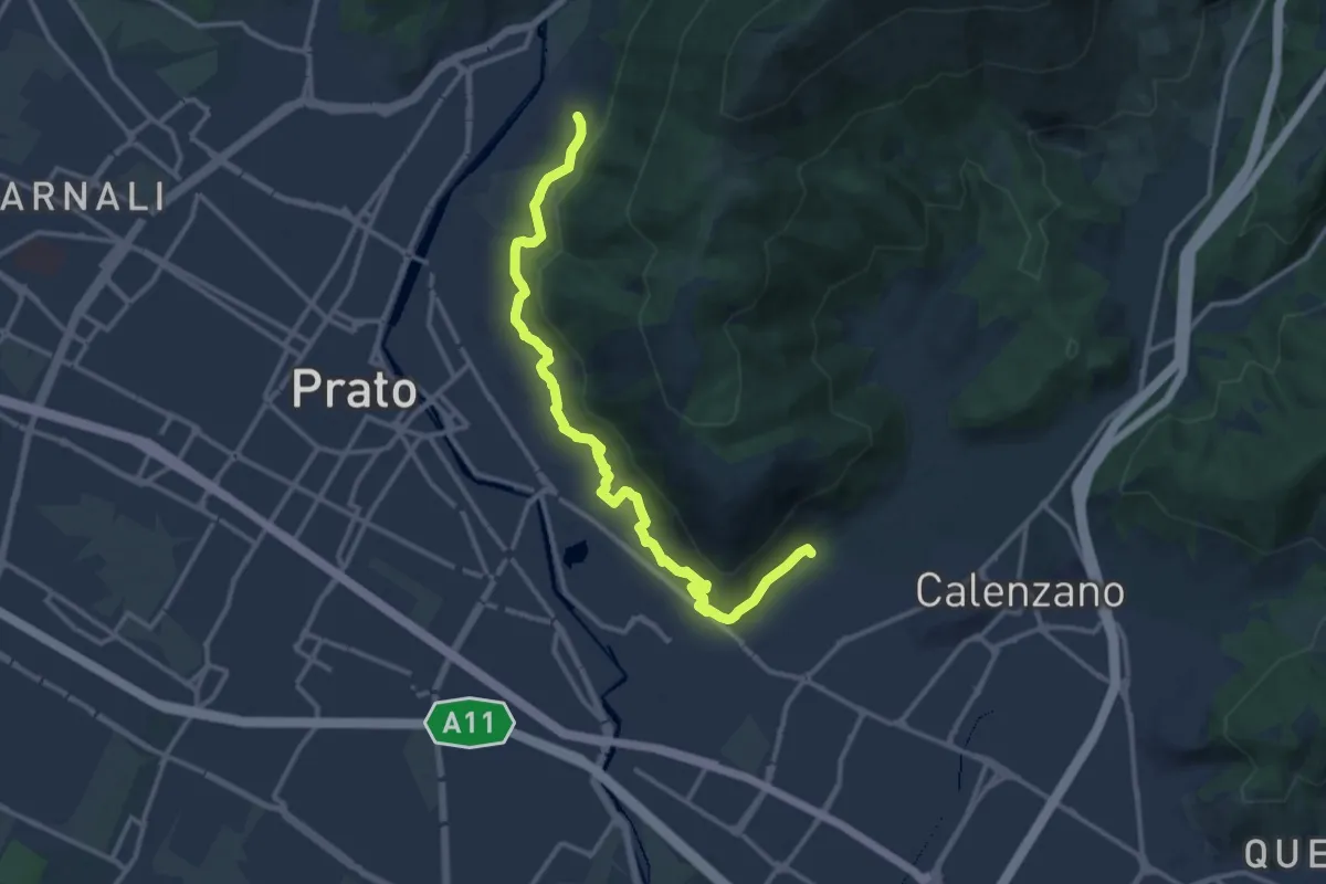
Medium · Trail
Percorso pedecollinare
15.0 km · ↑ 490 m · 4 h 36 min · 3 km away
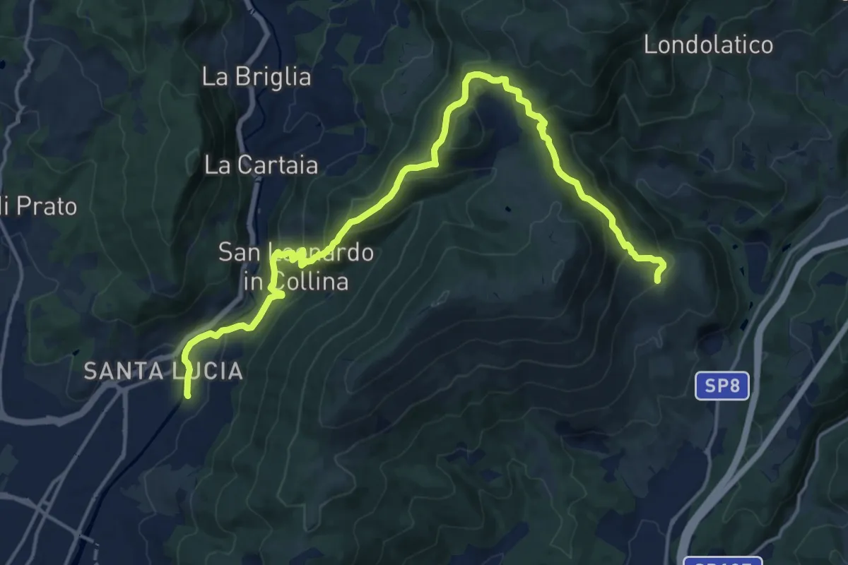
Demanding · Summit
Passerella S. Lucia – Carraia
19.5 km · ↑ 984 m · 6 h 44 min · 3 km away
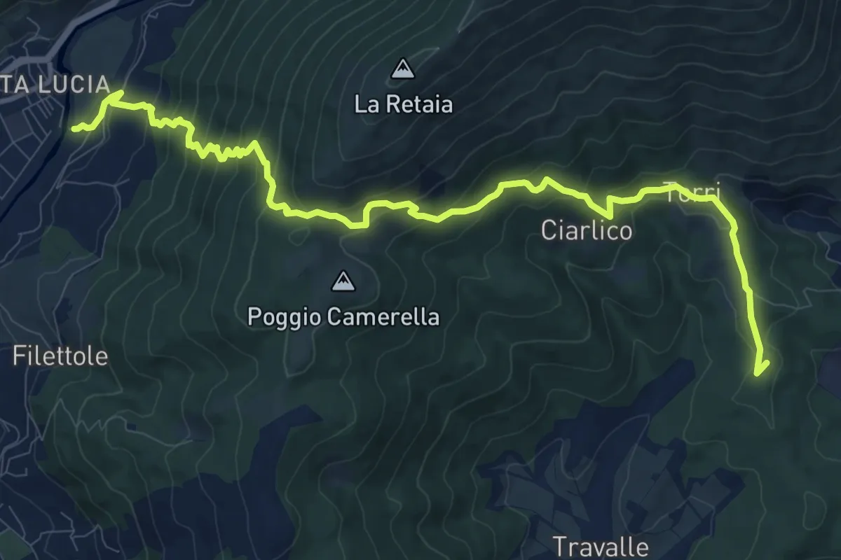
Demanding · Summit
Passerella S. Lucia – Travalle
13.6 km · ↑ 944 m · 5 h 15 min · 3 km away
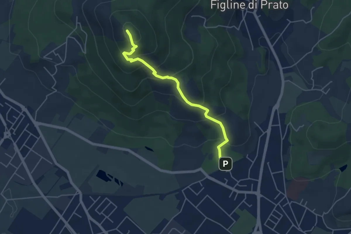
Medium · Summit
Galceti – Passo della Collina
4.4 km · ↑ 339 m · 1 h 47 min · 3 km away
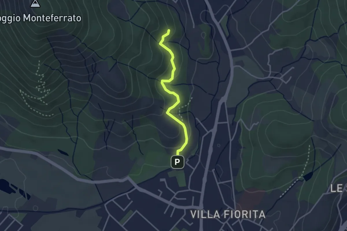
Easy · Trail
Sentiero Aurora (Piero Sambrotta)
2.7 km · ↑ 117 m · 54 min · 3 km away
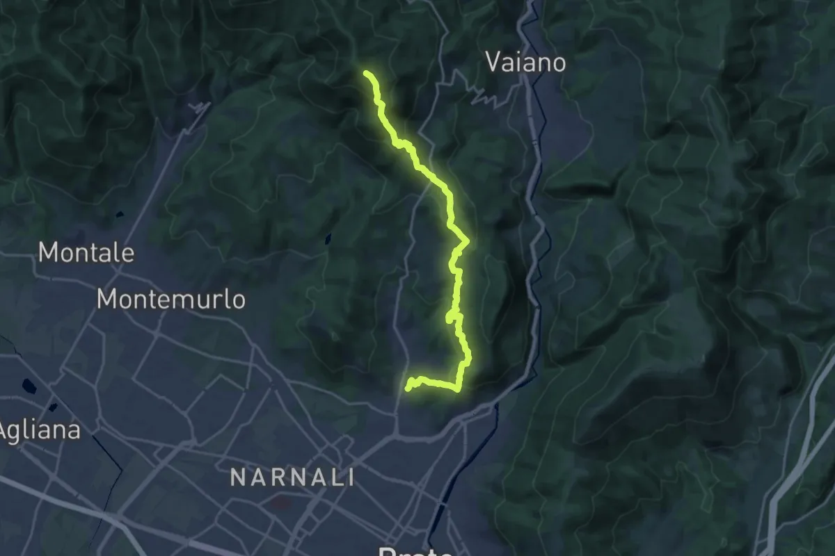
Demanding · Summit
Tramonto di un'Alba
19.9 km · ↑ 1090 m · 7 h 4 min · 3 km away
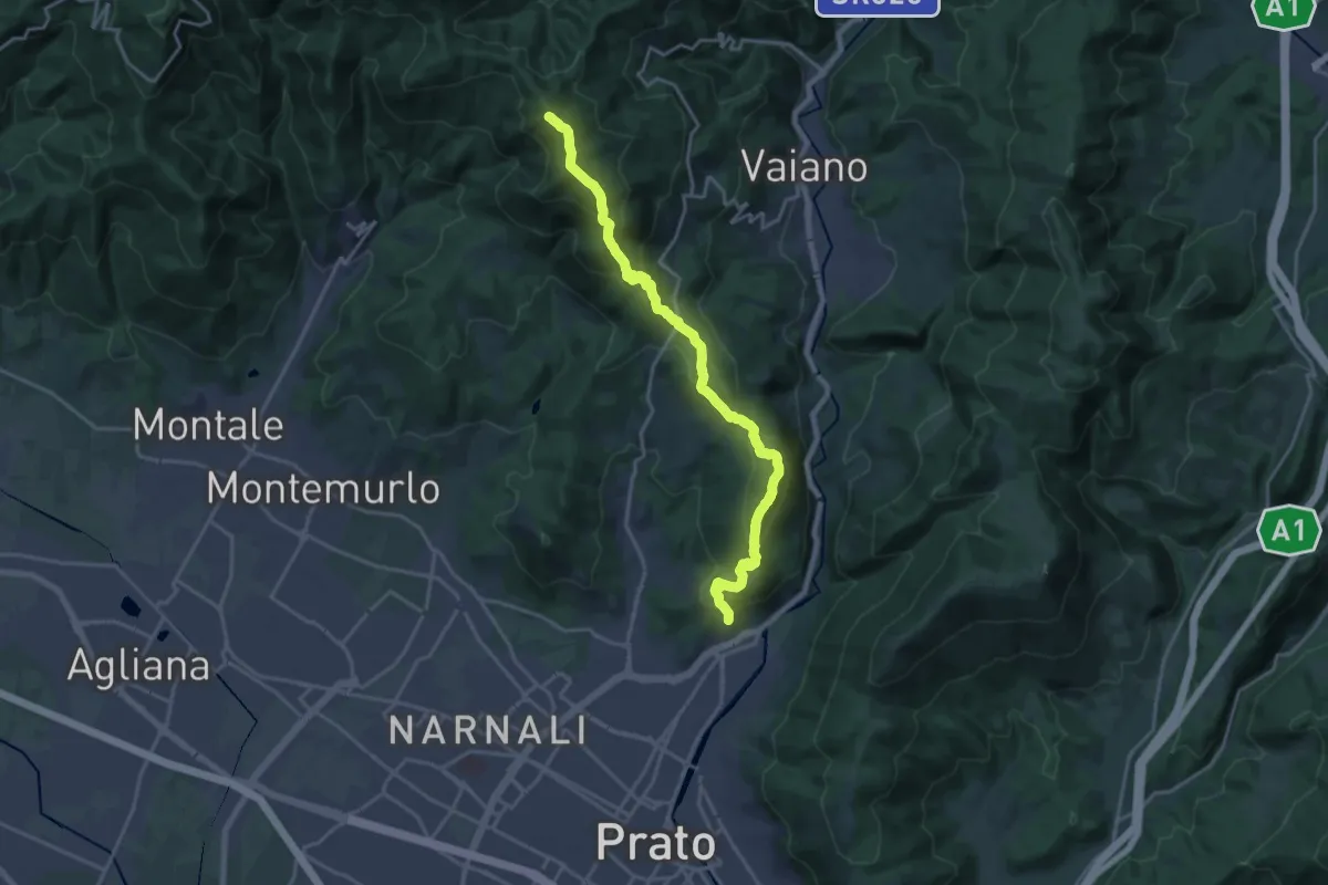
Demanding · Summit
sentiero Malaparte – Passo degli Acquiputoli
20.7 km · ↑ 1059 m · 7 h 11 min · 3 km away
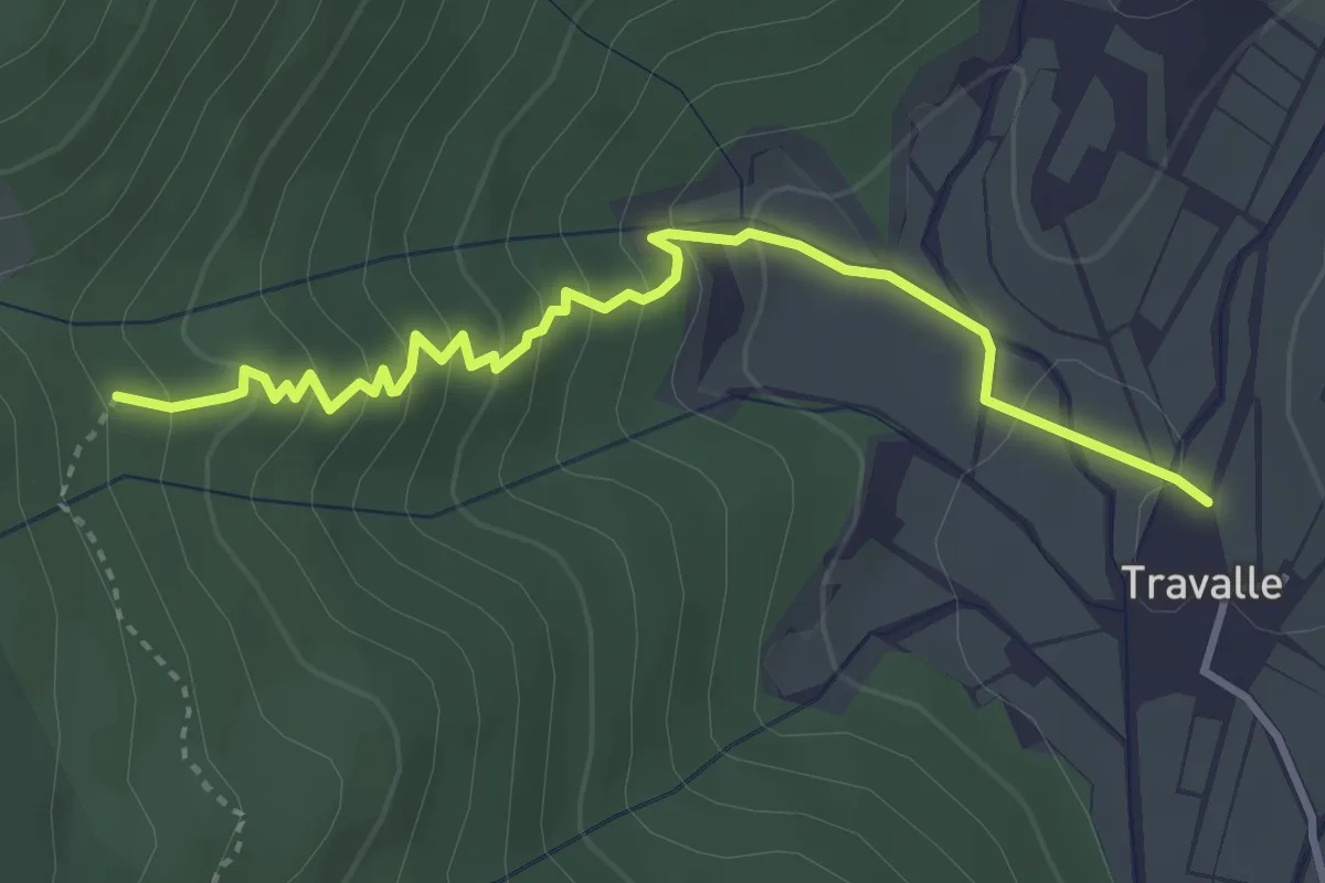
Easy · Trail
Travalle – Casa Villanova
4.0 km · ↑ 261 m · 1 h 30 min · 3 km away
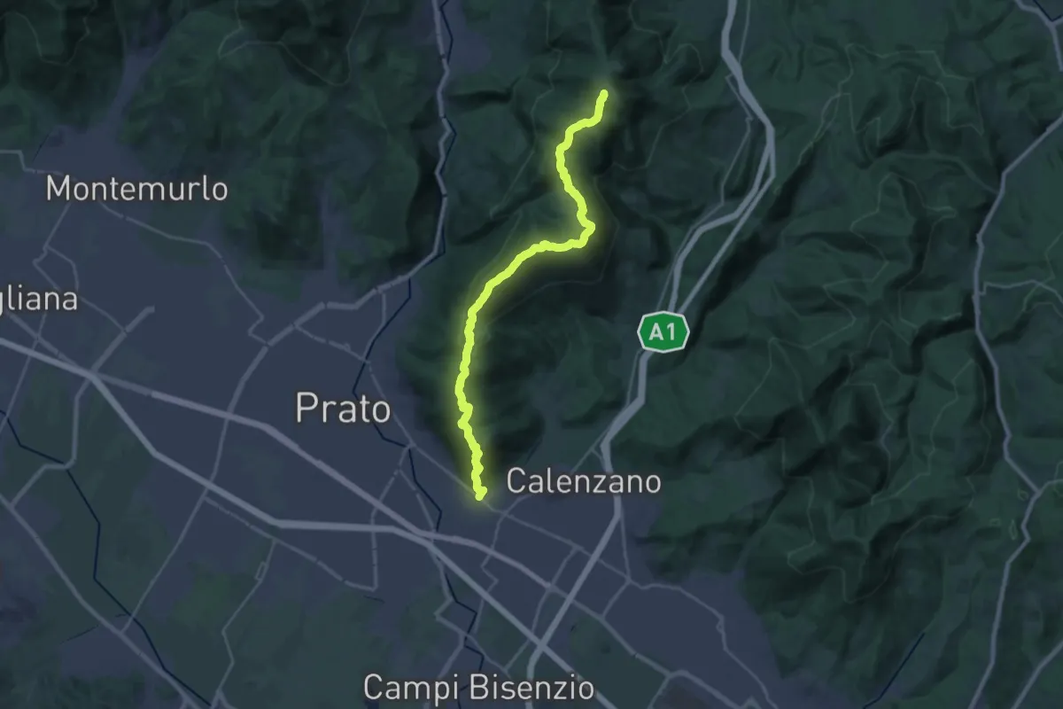
Demanding · Summit
La Querce – Poggio ai Prati (sentiero 00)
26.9 km · ↑ 1335 m · 9 h 15 min · 4 km away
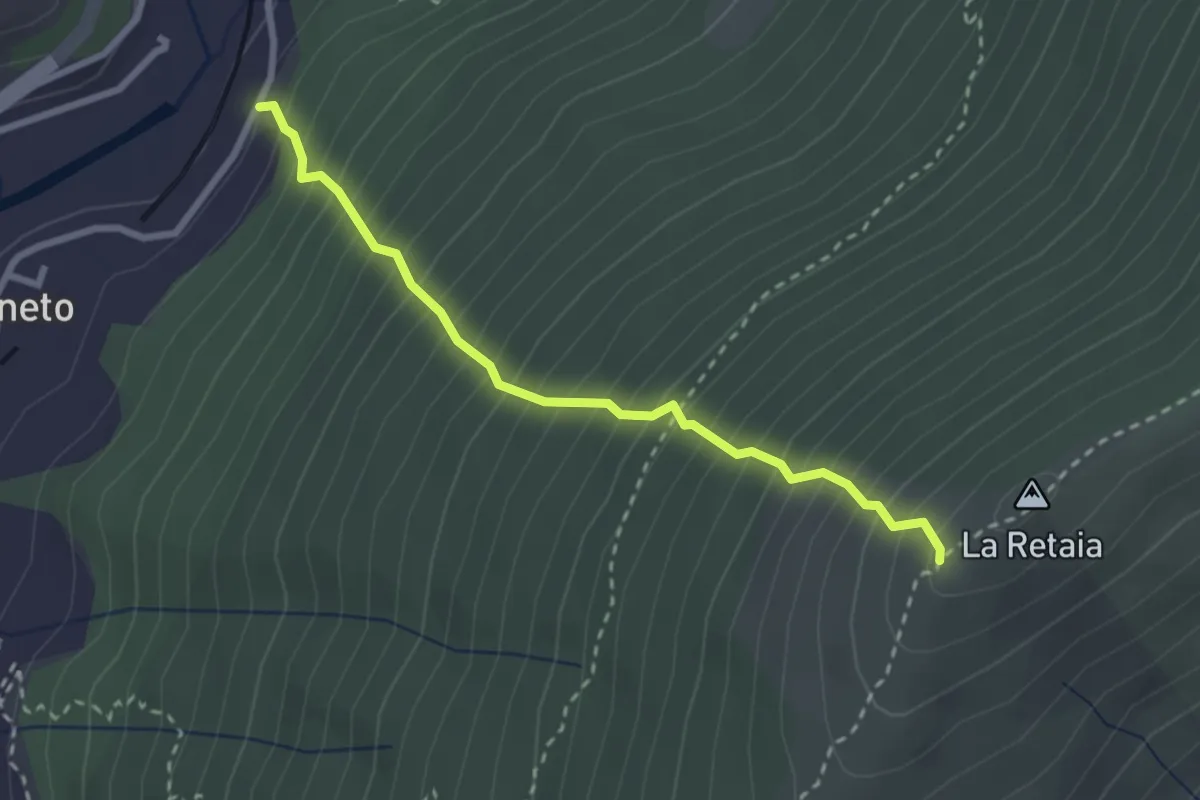
Medium · Trail
La Ovest Retaia
2.8 km · ↑ 628 m · 2 h 1 min · 4 km away
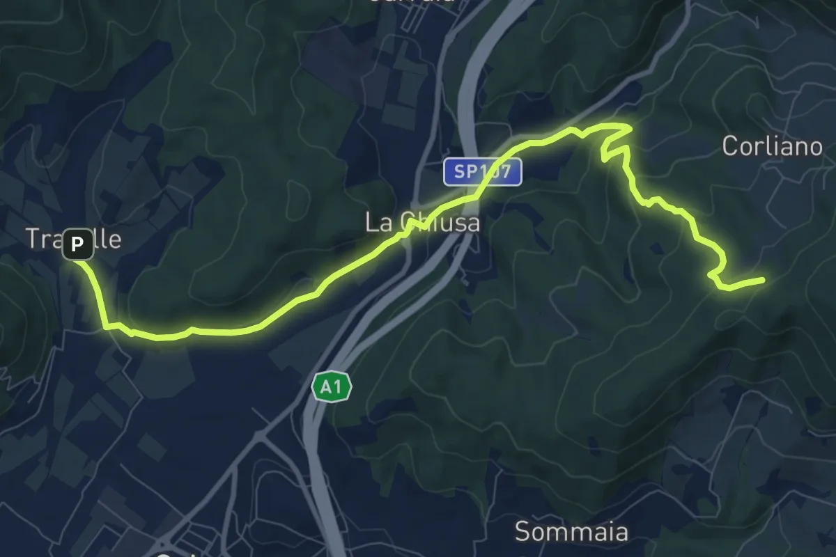
Medium · Trail
La Chiusa – Incrocio sent. 609
11.7 km · ↑ 369 m · 3 h 33 min · 5 km away
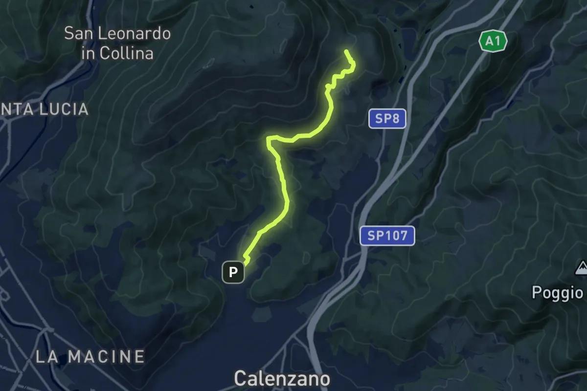
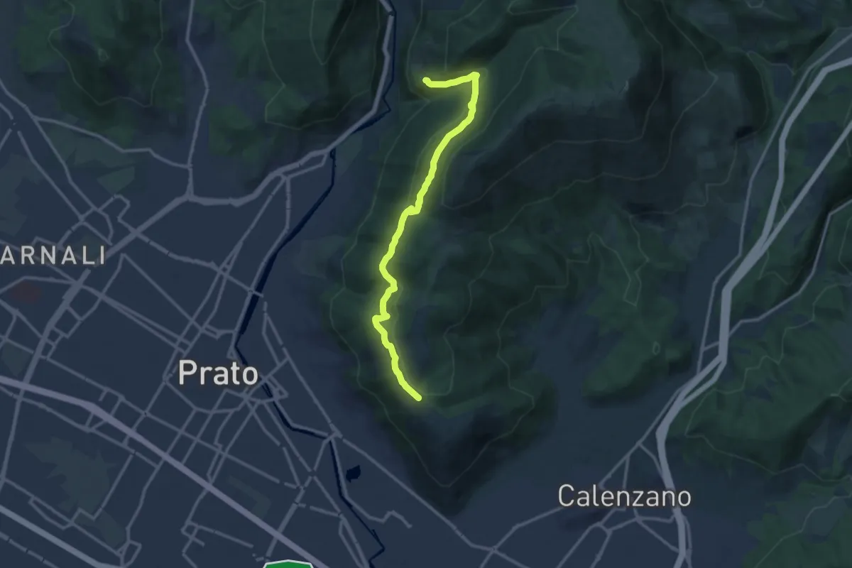
Medium · Summit
Sentiero della Pace
11.4 km · ↑ 392 m · 3 h 32 min · 5 km away
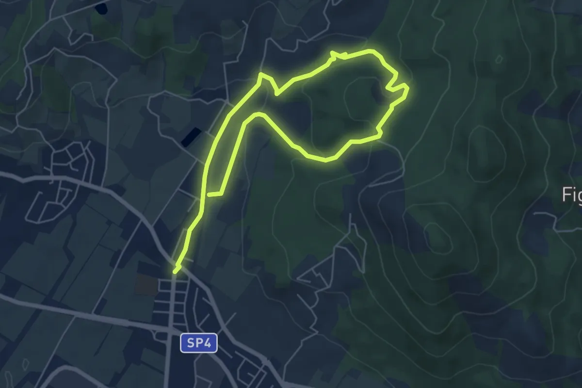
Medium · Trail
San Leonardo – Fosso della Valluccia
12.8 km · ↑ 519 m · 4 h 8 min · 5 km away
Easy · Trail
Cammino dell'Acqua - Torrente Bagnolo
4.6 km · ↑ 151 m · 1 h 29 min · 5 km away
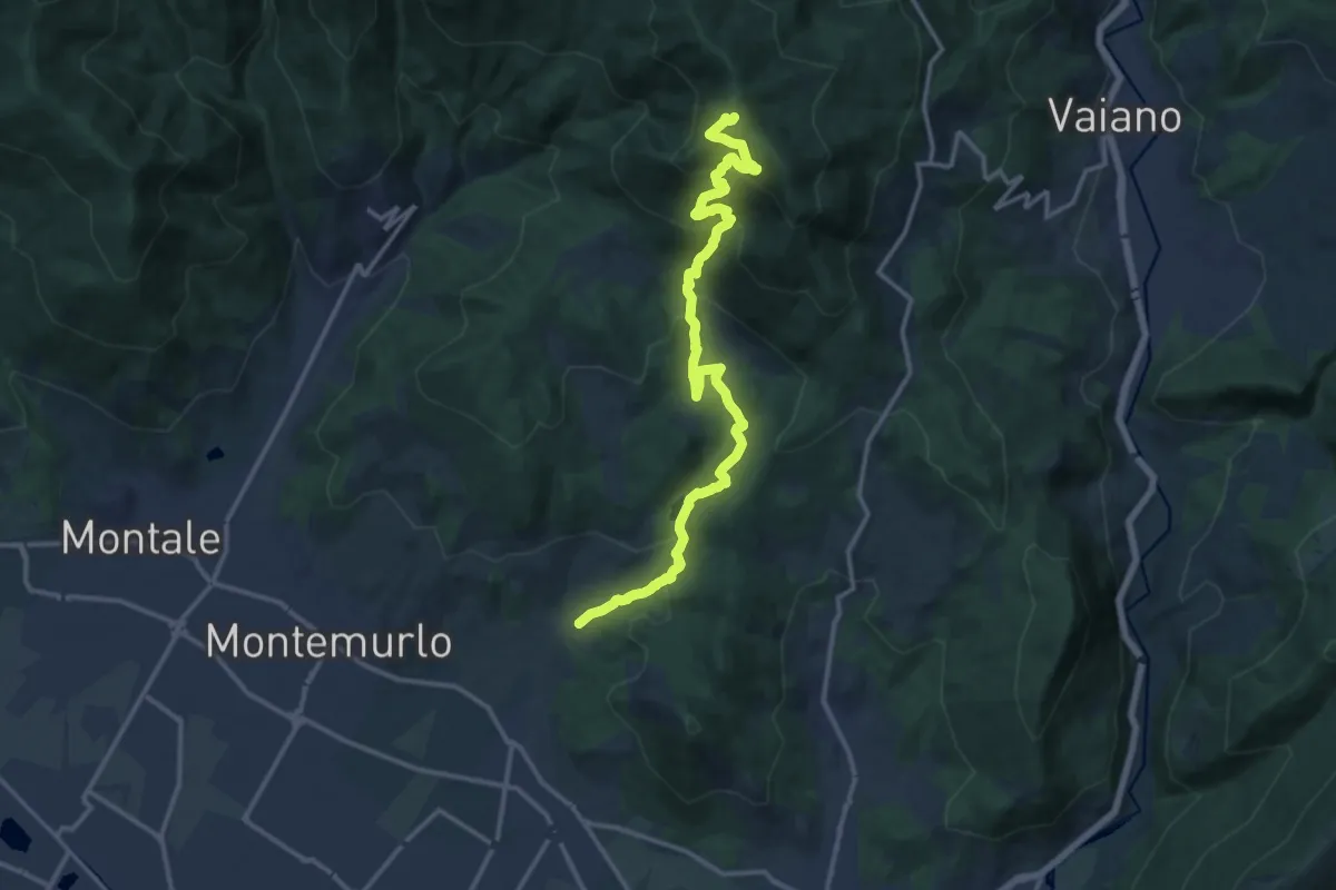
Demanding · Trail
Cascata Bagnolo – Monte Faggi di Javello
16.1 km · ↑ 1029 m · 6 h 2 min · 6 km away
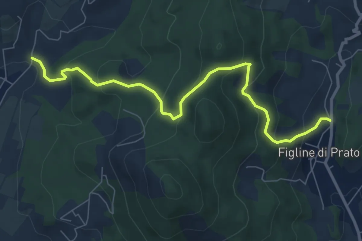
Medium · Trail
Bagnolo di Sopra – Figline Pian di Gello
7.2 km · ↑ 437 m · 2 h 38 min · 6 km away
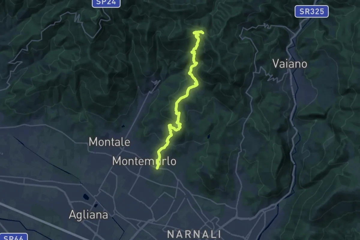
Demanding · Trail
Montemurlo (PO) – Le Cavallaie (PO)
20.8 km · ↑ 1015 m · 7 h 7 min · 6 km away
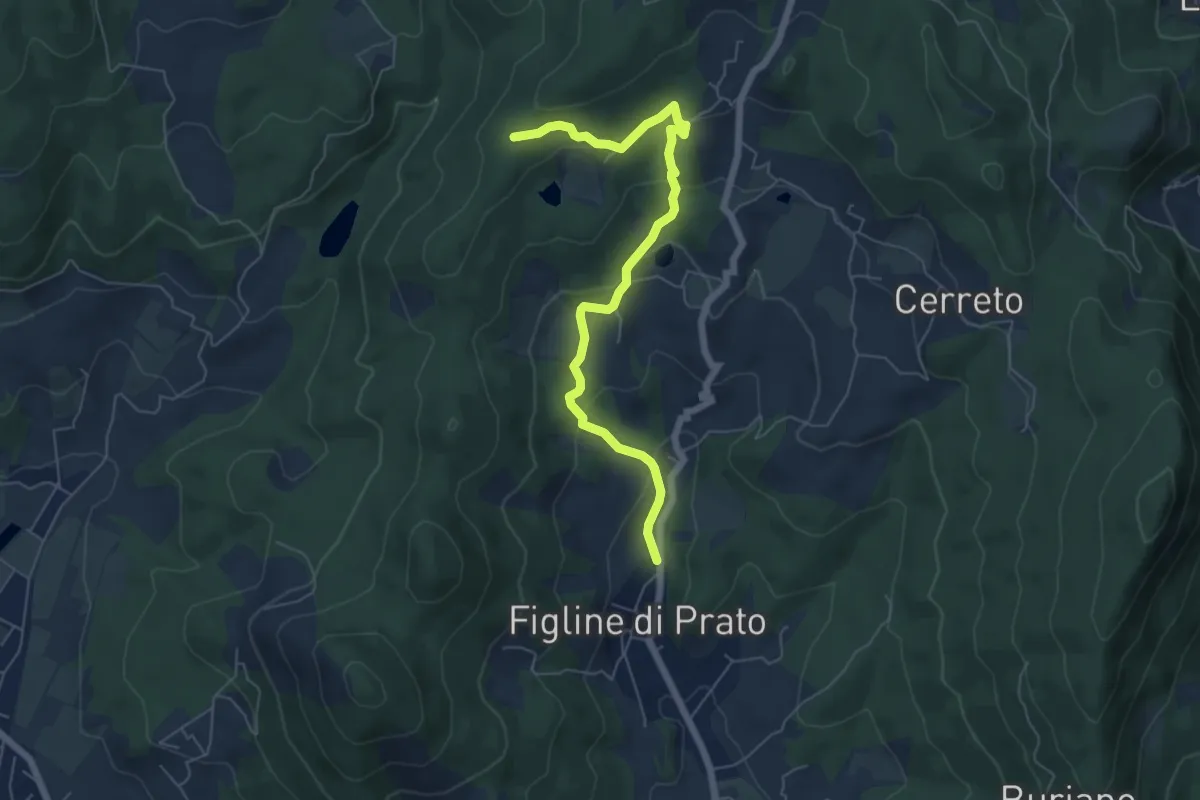
Easy · Trail
Figline (Pian di Gello) – Monte Lopi Fontanaccio
6.6 km · ↑ 295 m · 2 h 13 min · 7 km away
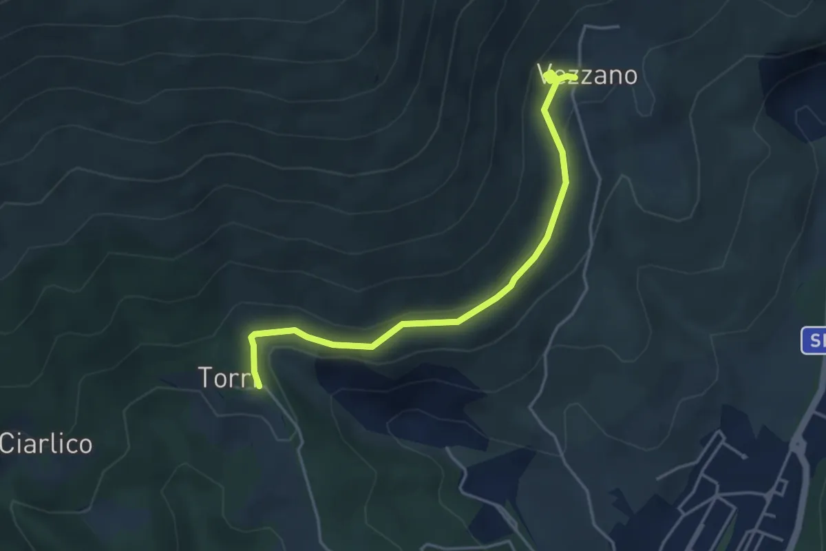
Easy · Trail
Torri di Carraia – Vezzano
4.2 km · ↑ 85 m · 1 h 10 min · 7 km away
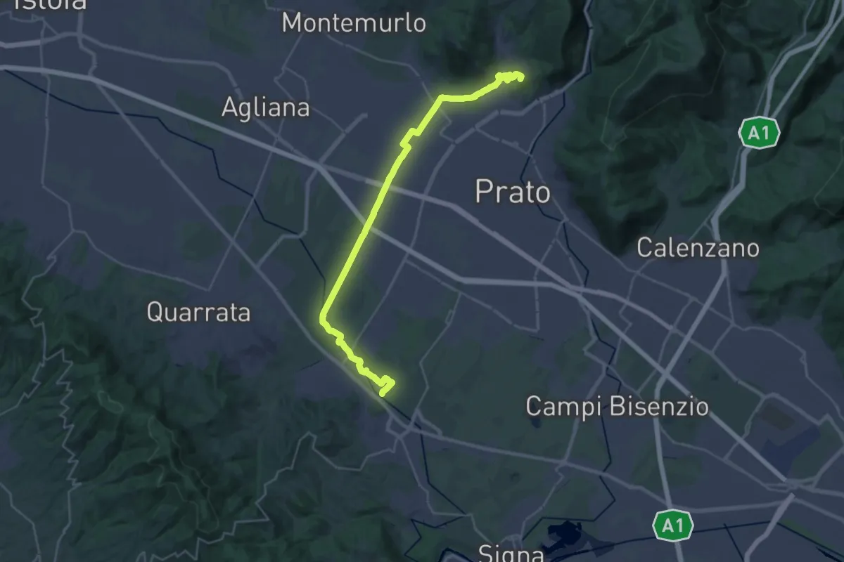
Demanding · Summit
Stazione Centrale Prato – Ponte Manetti - Cascine di Tavola
30.9 km · ↑ 147 m · 7 h 38 min · 7 km away
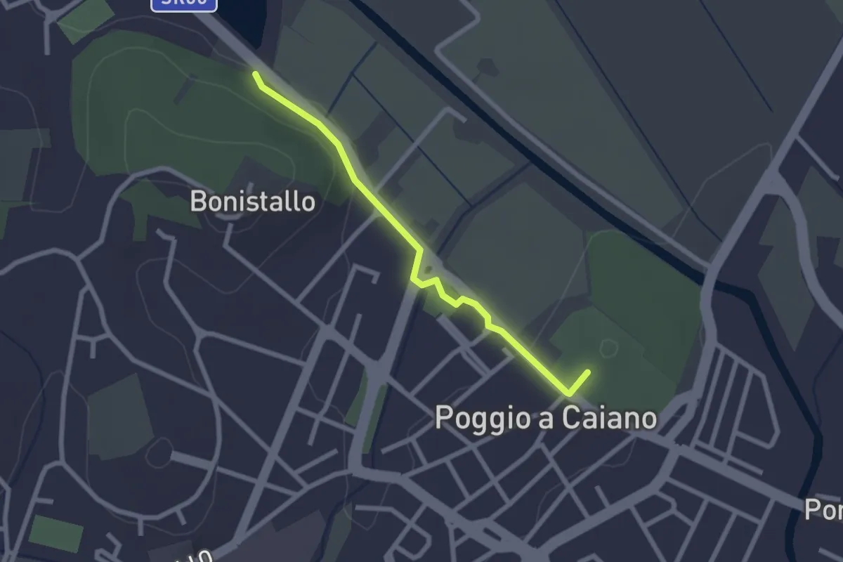
Easy · Trail
Poggio a Caiano – Bargo
2.3 km · ↑ 22 m · 35 min · 8 km away
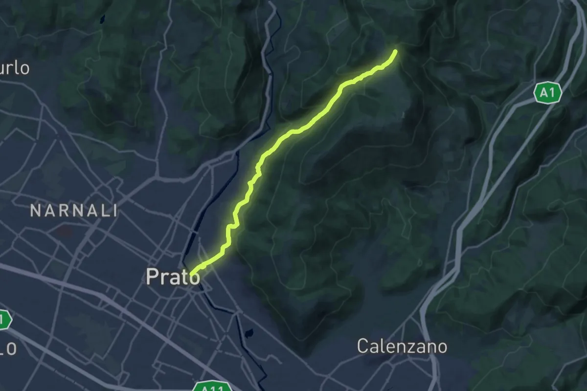
Medium · Trail
Prato - Ponte al Mercatale – Valibona
16.7 km · ↑ 697 m · 5 h 27 min · 8 km away
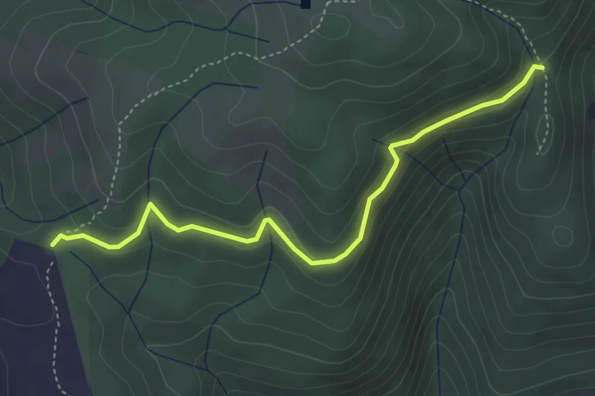
Easy · Cabin
Rimaggio di Monte Maggiore – Foce ai Cerri Nord
4.4 km · ↑ 182 m · 1 h 25 min · 8 km away
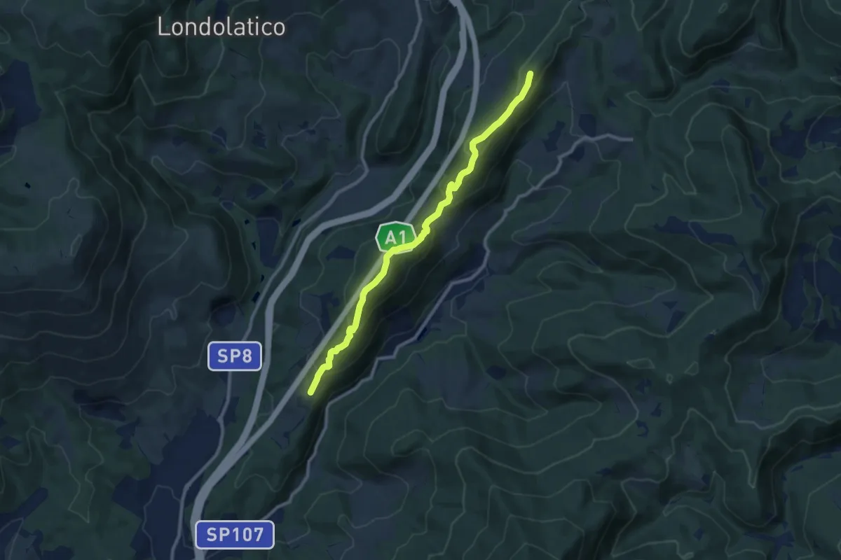
Medium · Summit
Collina – Torricella - Incr. sentiero 600
9.7 km · ↑ 530 m · 3 h 26 min · 9 km away
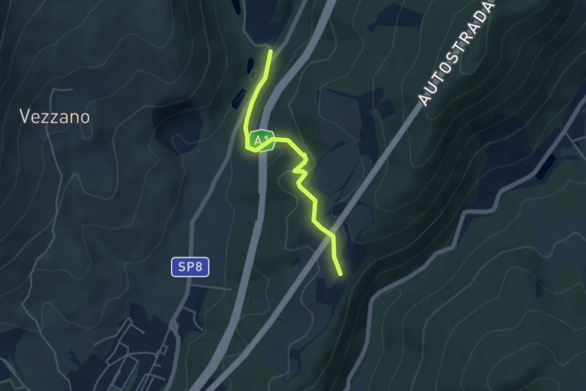
Easy · Trail
La Cassiana – Collina
3.9 km · ↑ 134 m · 1 h 13 min · 9 km away
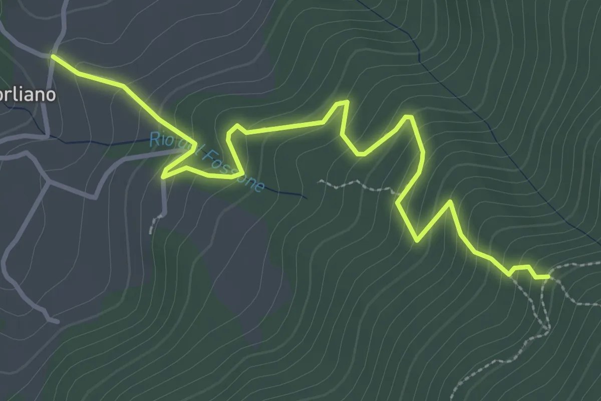
Easy · Trail
Leccio – Quota 590 sentiero 9
3.8 km · ↑ 299 m · 1 h 33 min · 9 km away
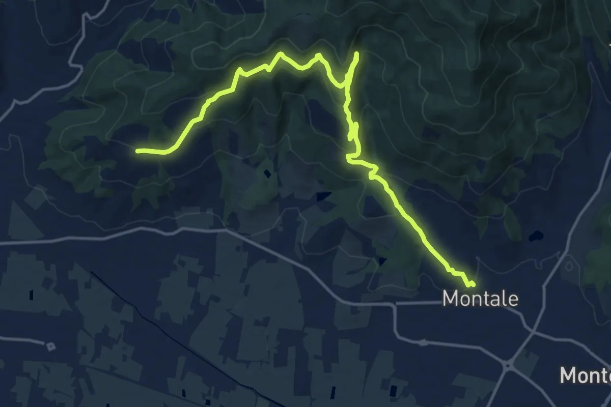
Medium · Trail
Montale Alto – San Quirico
16.4 km · ↑ 662 m · 5 h 18 min · 9 km away
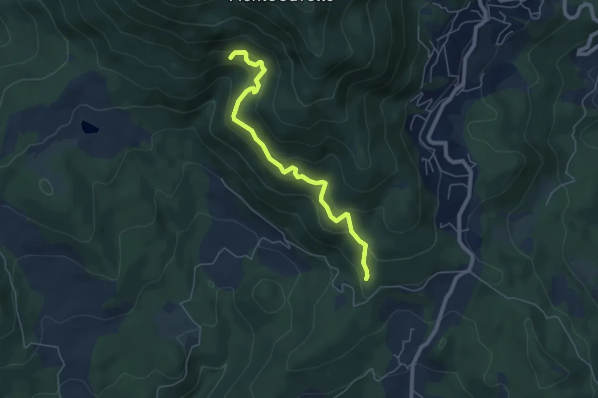
Medium · Trail
Quercia dei termini – Innesto sentiero 70
5.1 km · ↑ 376 m · 2 h 2 min · 9 km away
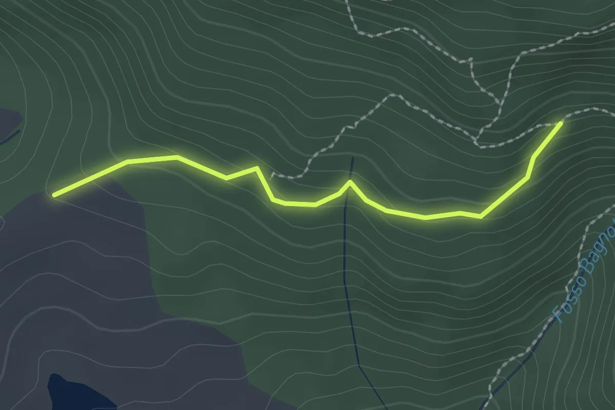
Easy · Trail
Bivio per Masso a' Corvi – Fattoria di Javello
2.1 km · ↑ 129 m · 46 min · 9 km away
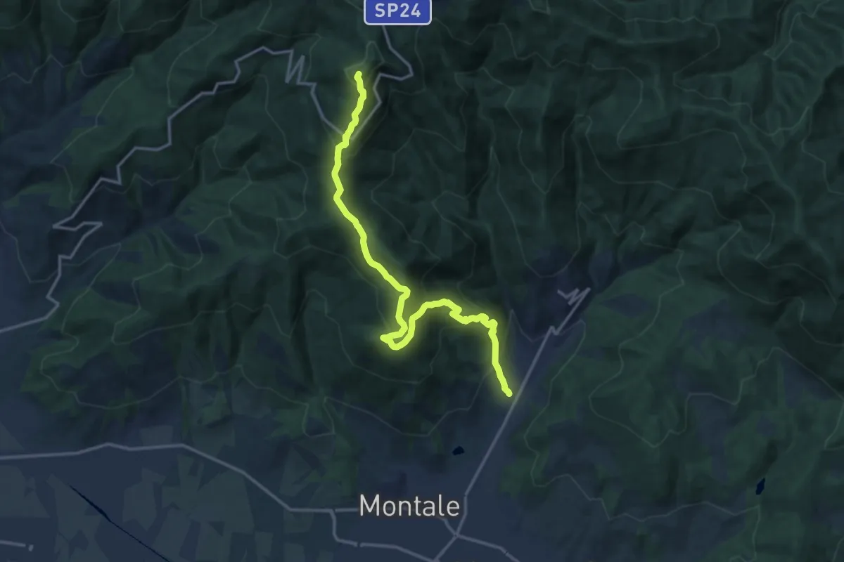
Demanding · Summit
Fognano – Poggio dei Ronchi
15.8 km · ↑ 1039 m · 5 h 59 min · 9 km away
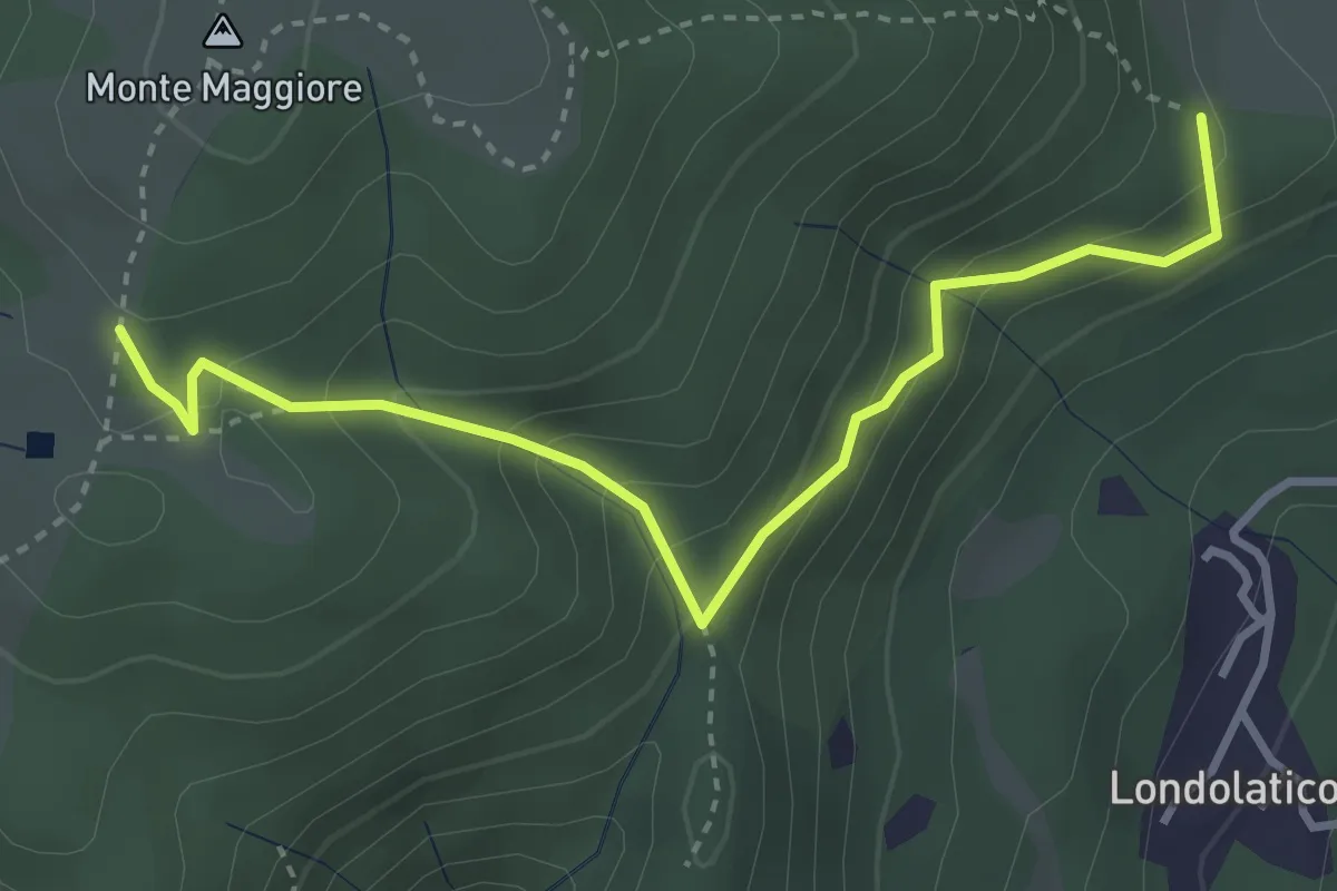
Easy · Summit
Campiano – Conconi di monte Maggiore
3.8 km · ↑ 293 m · 1 h 32 min · 9 km away
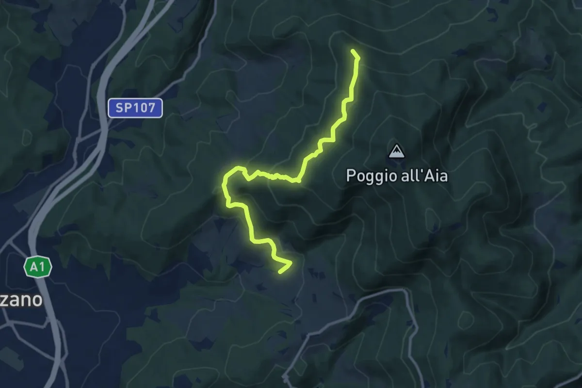
Medium · Summit
Ponte sul Chiosina – Poggio Leccio (m. 590 sent. 8 e 8B)
10.4 km · ↑ 614 m · 3 h 48 min · 9 km away
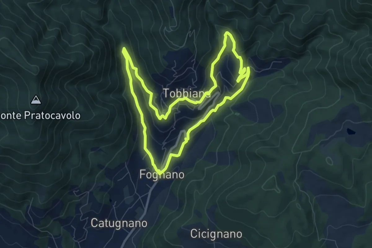
Medium · Trail
La Via delle Agne
8.2 km · ↑ 296 m · 2 h 42 min · 9 km away
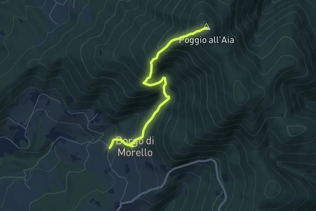
Medium · Summit
Morello – Poggio all'Aia
6.3 km · ↑ 665 m · 2 h 55 min · 10 km away
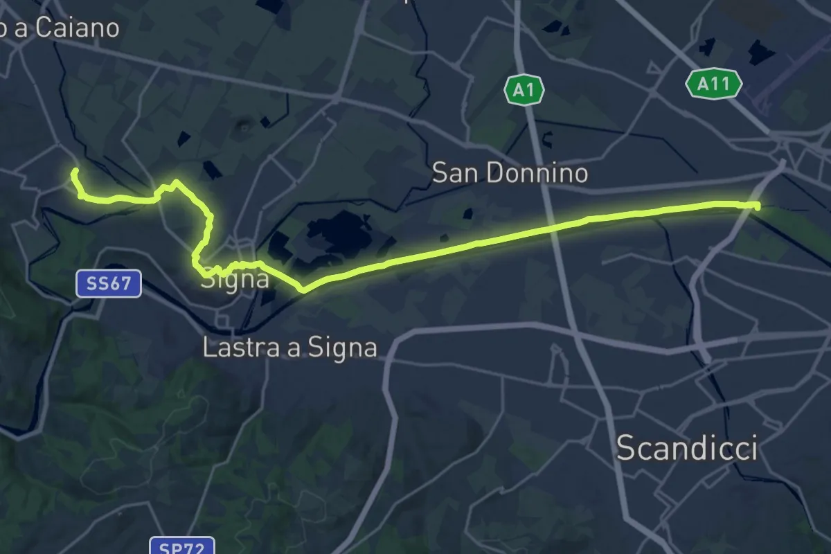
Demanding · Trail
Tappa 5 - Da Comeana a Firenze
26.8 km · ↑ 177 m · 6 h 42 min · 10 km away
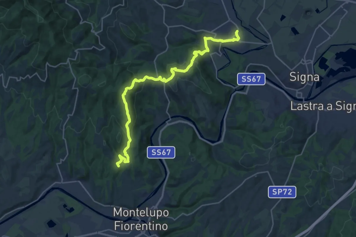
Demanding · Summit
Tappa 4 - Da Montereggi a Comeana
21.9 km · ↑ 781 m · 6 h 52 min · 10 km away
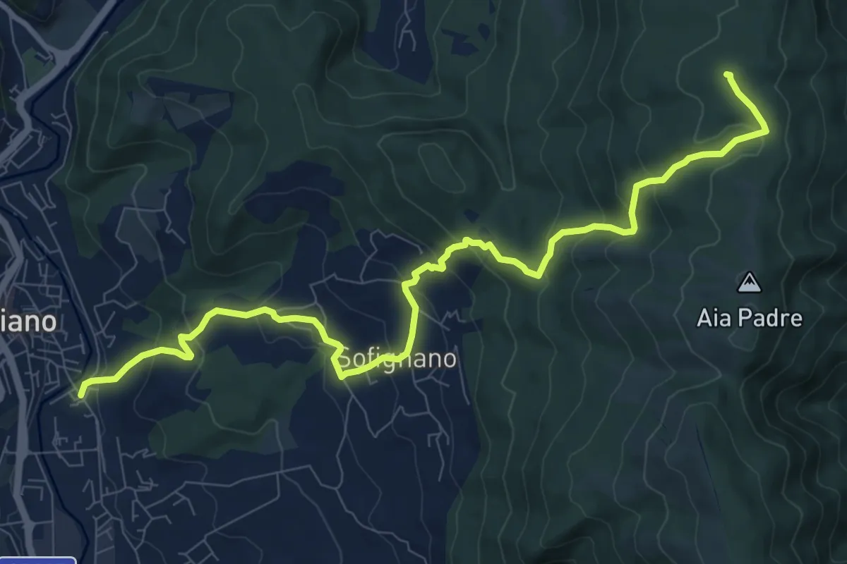
Medium · Summit
Via della Lana e della Seta: Tappa 5
11.4 km · ↑ 659 m · 4 h 8 min · 10 km away
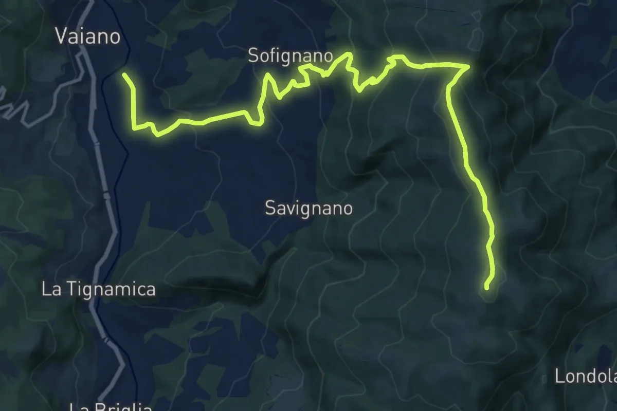
Demanding · Summit
Via della Lana e della Seta: Tappa 6
16.5 km · ↑ 828 m · 5 h 42 min · 10 km away
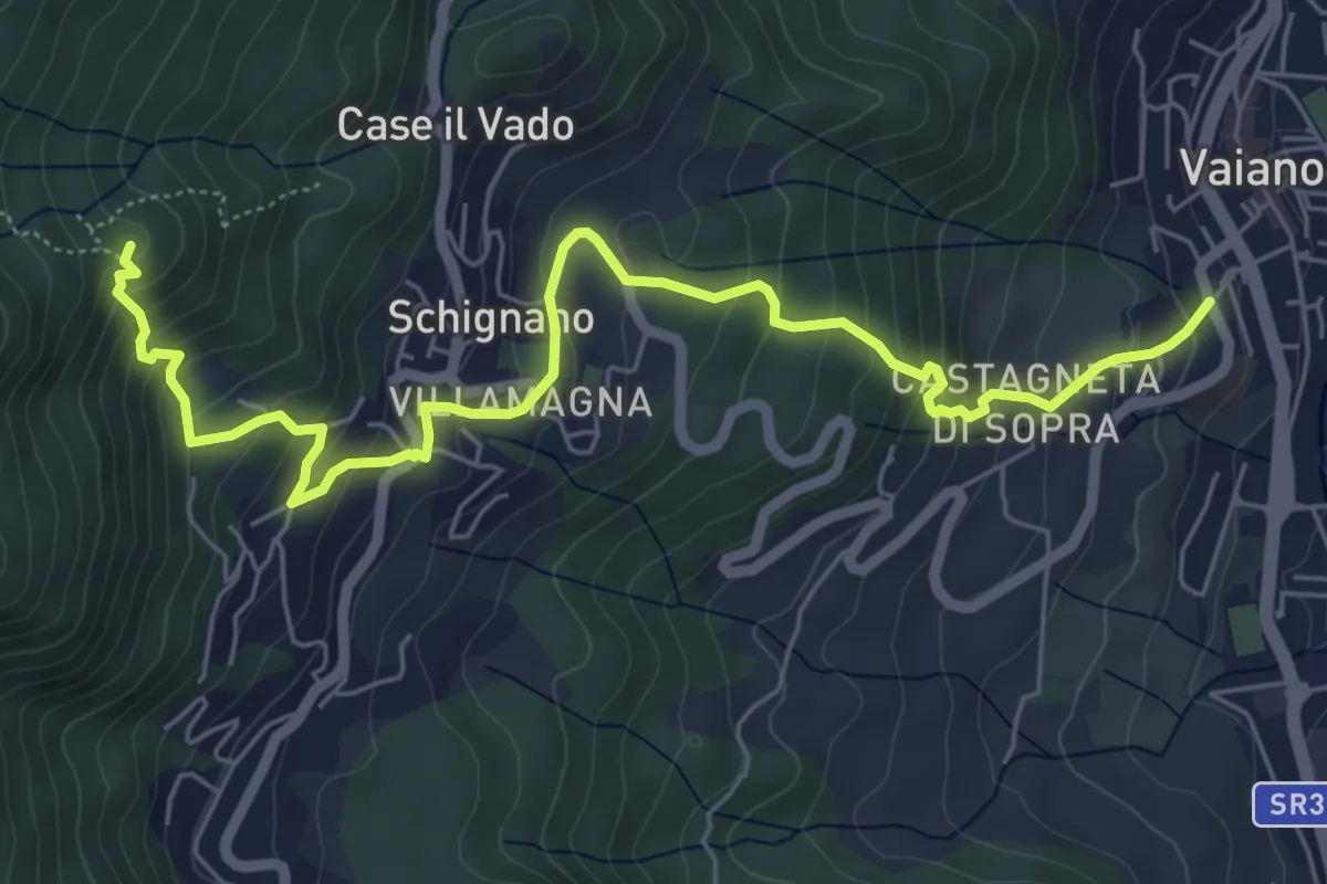
Medium · Summit
Vaiano – Monte Ricorboli
7.5 km · ↑ 550 m · 2 h 58 min · 10 km away
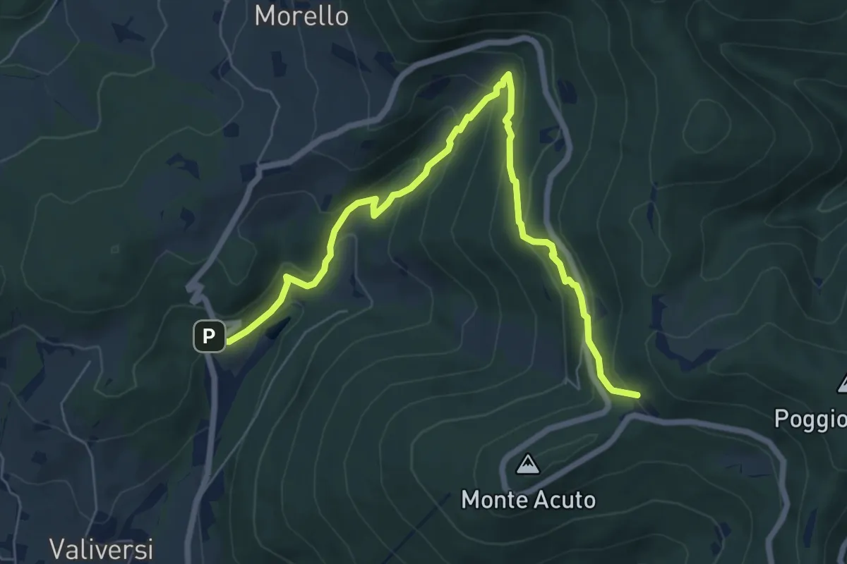
Medium · Trail
Via del Polverificio – Fonte dei Seppi
7.9 km · ↑ 454 m · 2 h 51 min · 10 km away
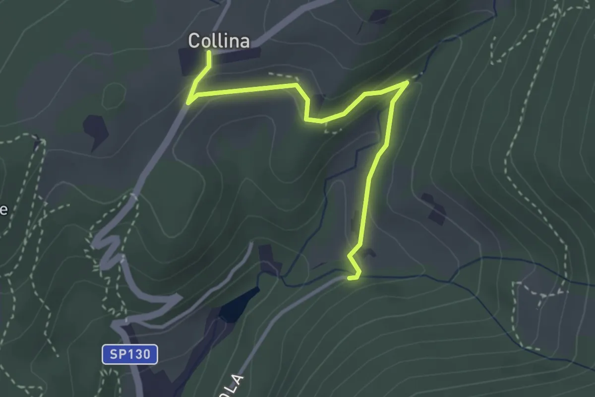
Easy · Trail
Via di Isola – Collina
3.1 km · ↑ 95 m · 56 min · 10 km away
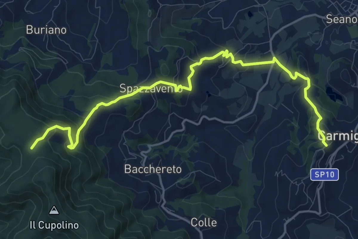
Medium · Trail
Carmignano San Michele – Torre di Sant'Alluccio
13.7 km · ↑ 699 m · 4 h 45 min · 10 km away