Trails near Prato
120 hikes starting within 15 km, nearest first.
Nearest first, page 2 of 3
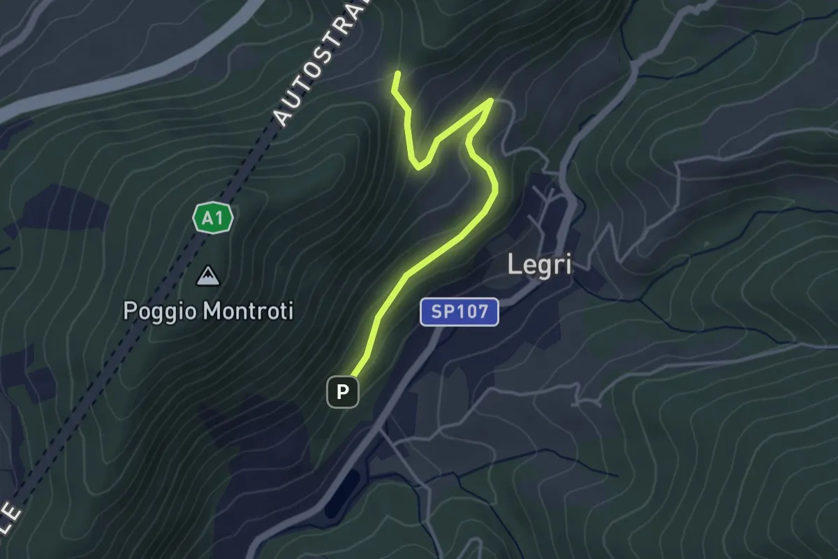
Easy · Trail
Case Cutriolo - Incr. sent. 608A – Collina di Sopra - Incr. sent. 620
3.6 km · ↑ 152 m · 1 h 11 min · 10 km away
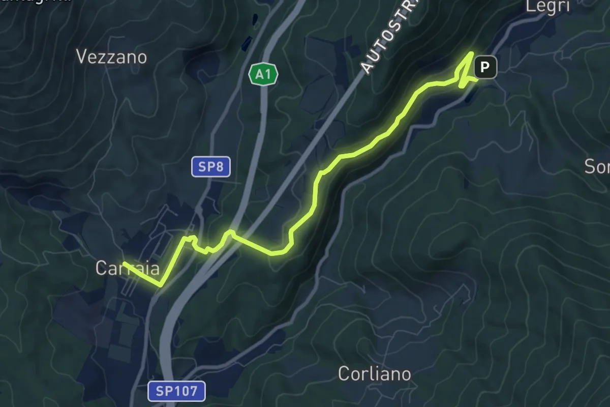
Medium · Trail
Carraia – Lago di Legri - Incrocio sentiero 608
9.8 km · ↑ 331 m · 3 h 2 min · 10 km away
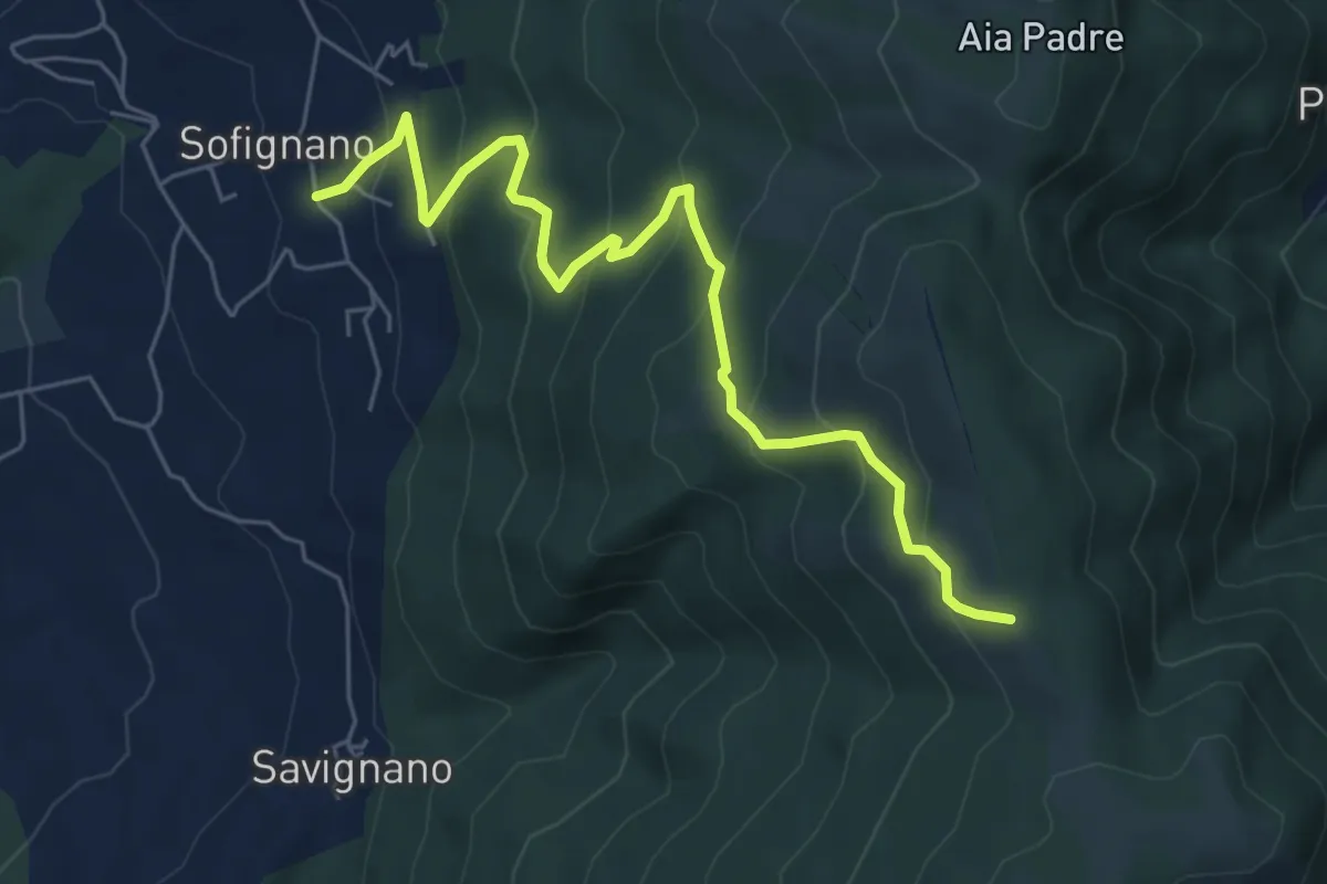
Medium · Trail
Vaiano (località Le Mura) – Poggio Mandrione/Massipiani
6.8 km · ↑ 477 m · 2 h 38 min · 10 km away
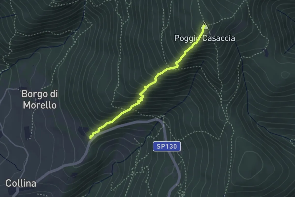
Demanding · Summit
Sentiero del Pensionato
3.2 km · ↑ 469 m · 1 h 46 min · 10 km away
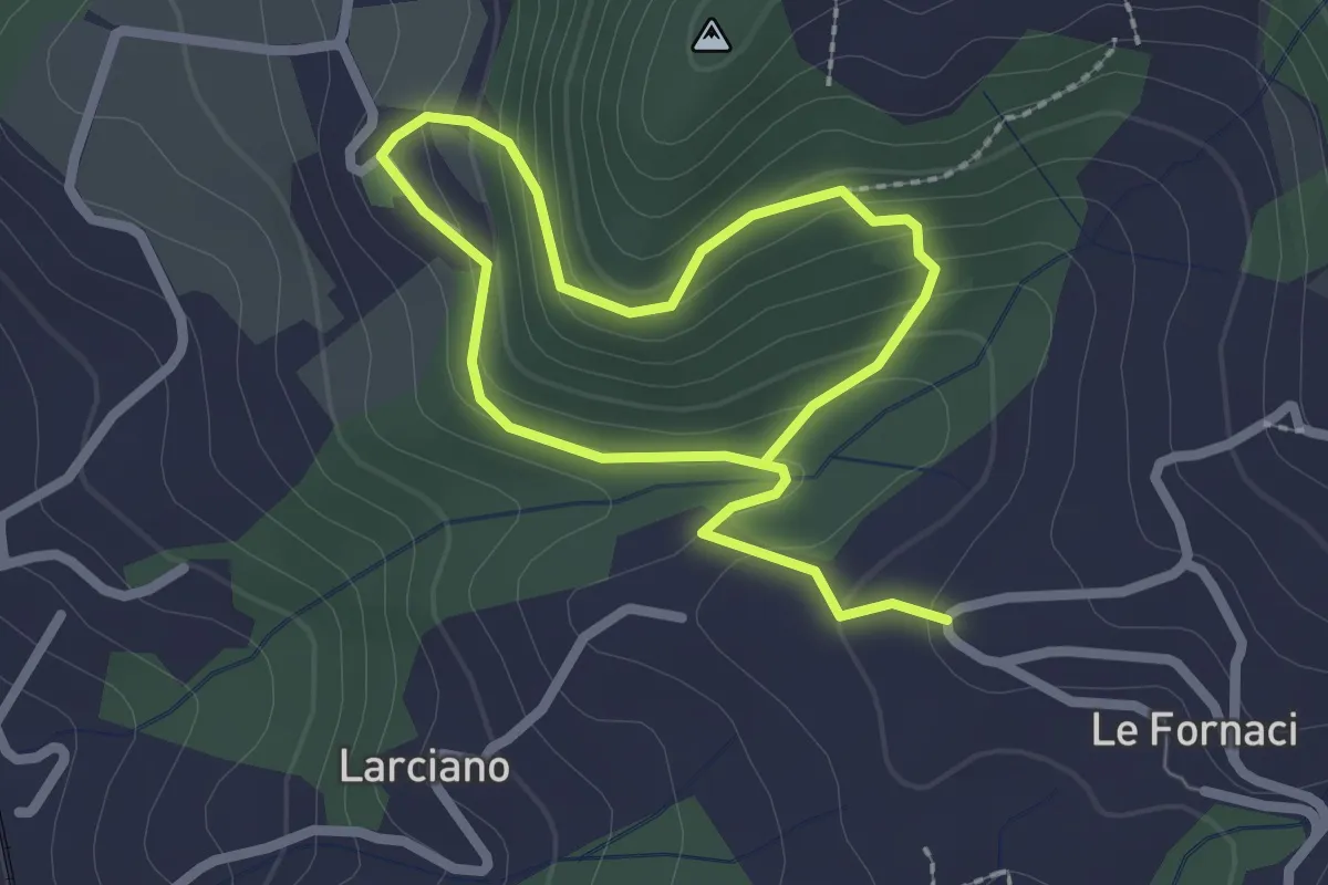
Easy · Trail
Anello della Torre di Melagrana
3.8 km · ↑ 188 m · 1 h 19 min · 10 km away
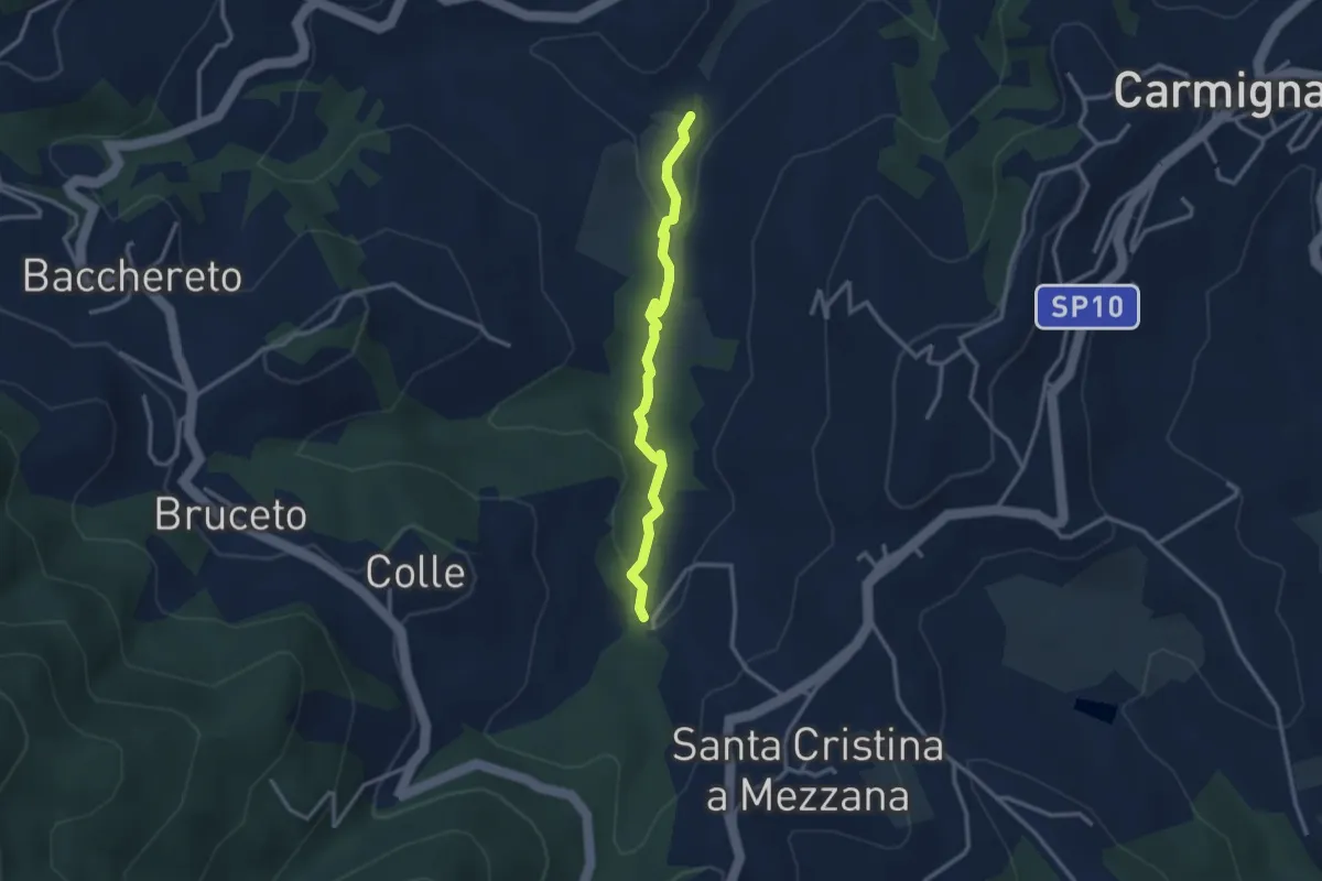
Easy · Trail
Fontanaccio – Il Mulino
2.9 km · ↑ 63 m · 50 min · 11 km away
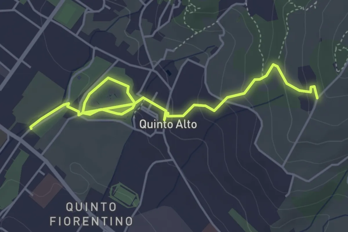
Easy · Trail
Parcheggio via Gramsci – Sentiero 4 (quota 250 m)
5.4 km · ↑ 182 m · 1 h 41 min · 11 km away
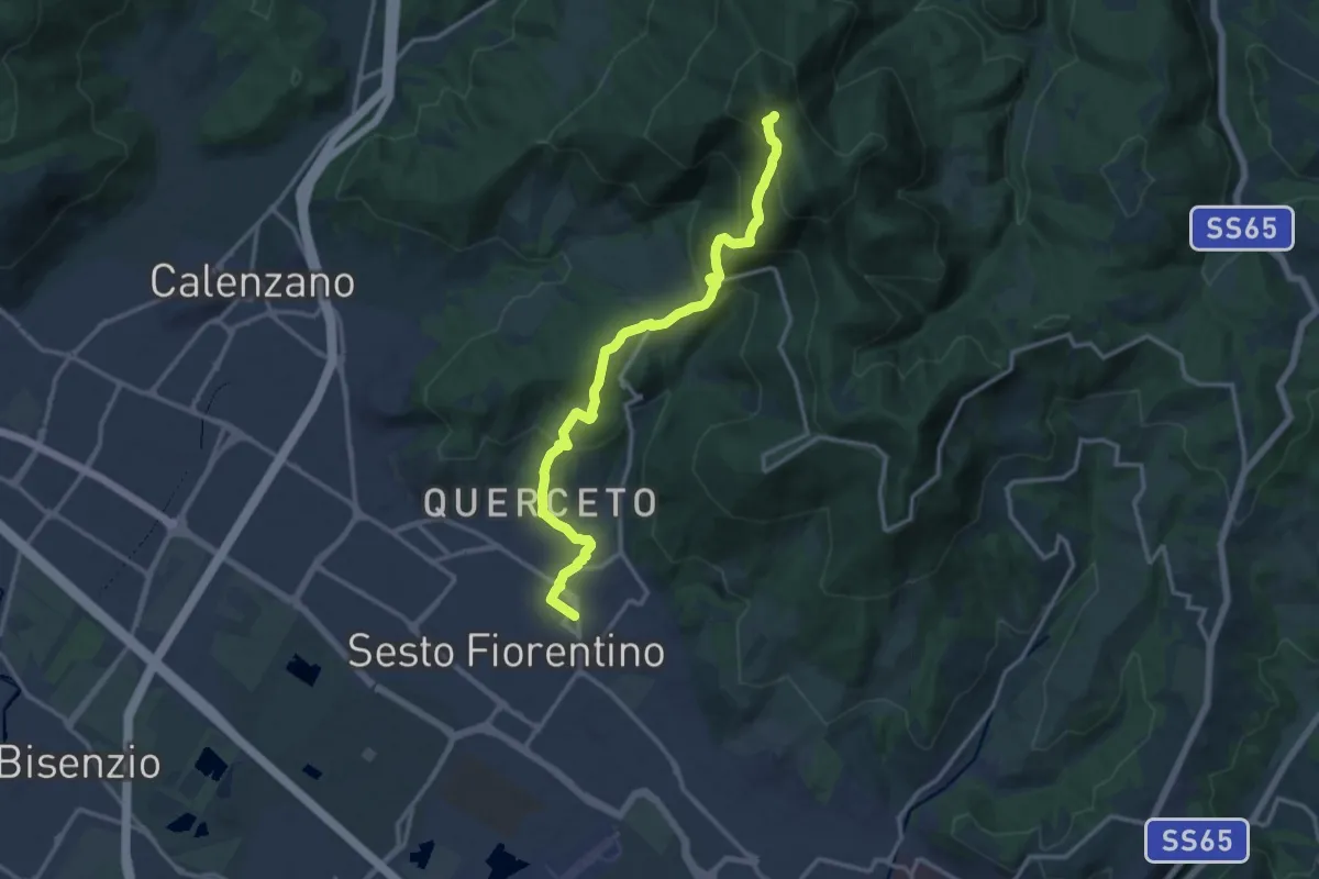
Demanding · Trail
Sesto Fiorentino - Via Veronelli Sezione CAI – Selletta
15.0 km · ↑ 818 m · 5 h 19 min · 11 km away
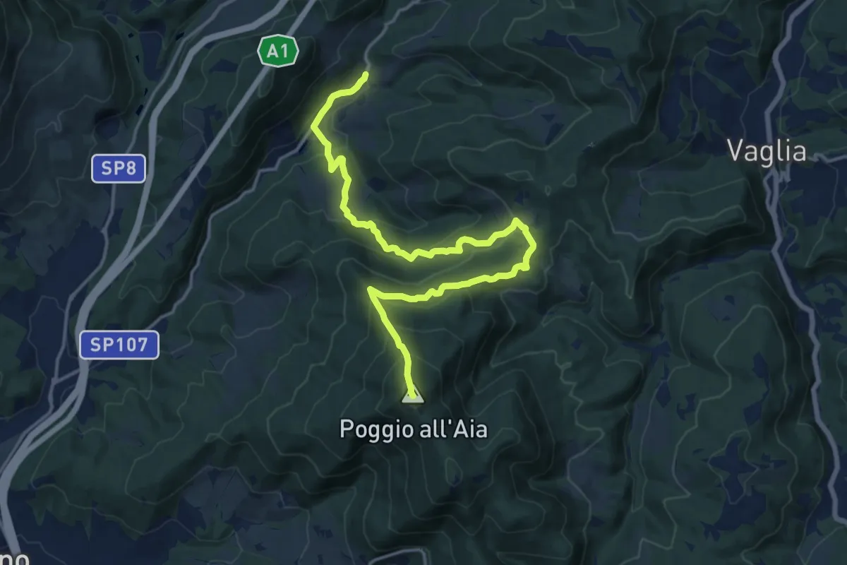
Demanding · Summit
Legri – Poggio all'Aia
17.6 km · ↑ 965 m · 6 h 14 min · 11 km away
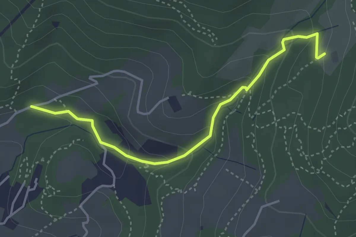
Easy · Trail
Colonnata – Carmignanello
3.6 km · ↑ 202 m · 1 h 18 min · 11 km away
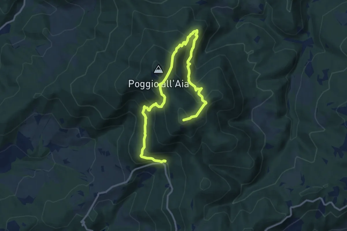
Demanding · Summit
Fonte del Vecciolino – Poggio Casaccia
12.4 km · ↑ 1011 m · 5 h 7 min · 11 km away
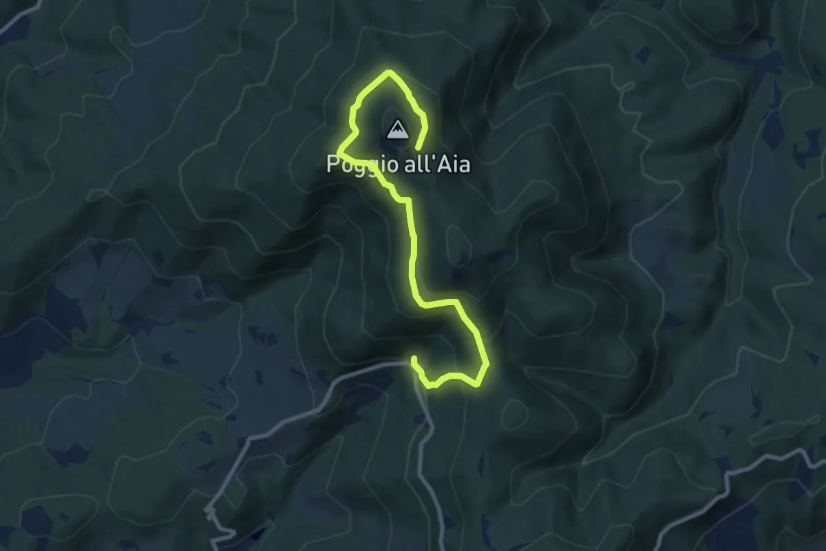
Medium · Trail
Fonte del Vecciolino – Quota 855 sentiero 12
9.2 km · ↑ 537 m · 3 h 20 min · 11 km away
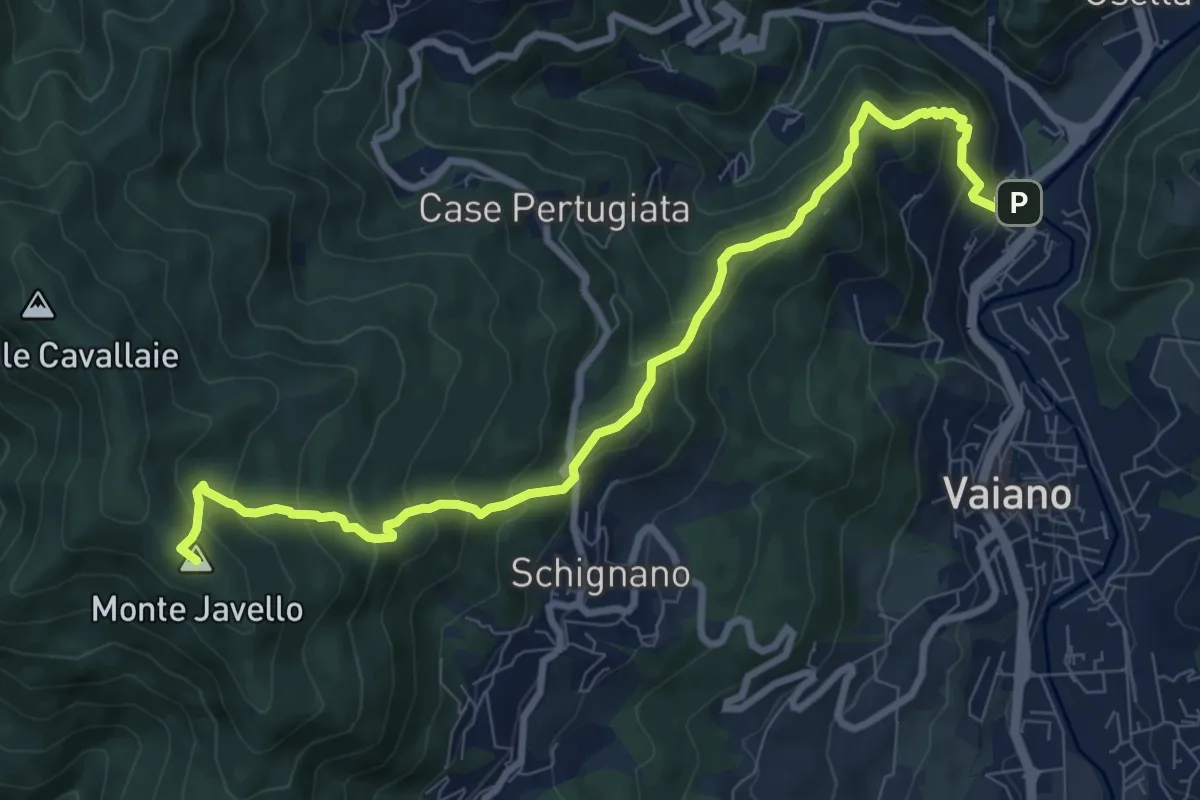
Demanding · Summit
Vaiano (località il Fabbro) – Monte Faggi di Javello
10.1 km · ↑ 861 m · 4 h 15 min · 11 km away
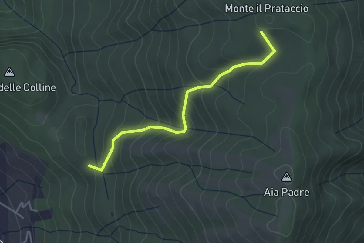
Easy · Summit
Pian dei Bianchi – Il Corso
3.4 km · ↑ 222 m · 1 h 17 min · 11 km away
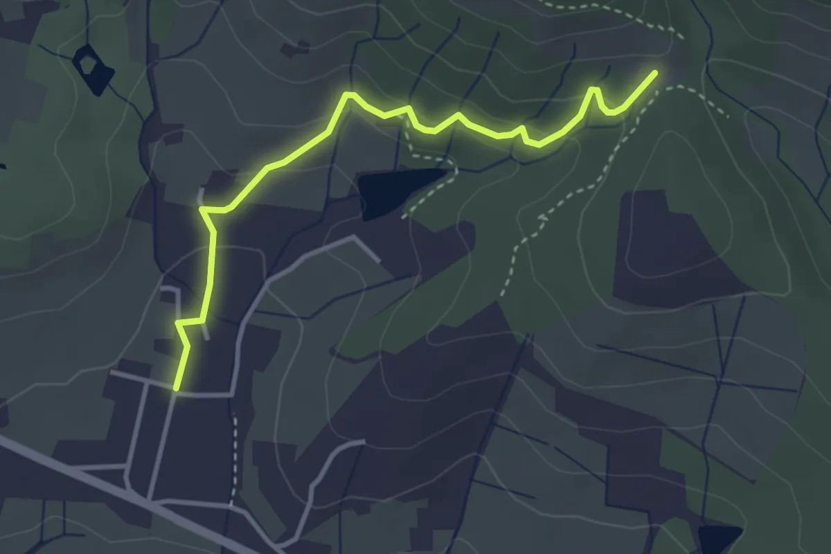
Easy · Trail
Santomato – Innesto sentiero 220
3.6 km · ↑ 139 m · 1 h 9 min · 11 km away
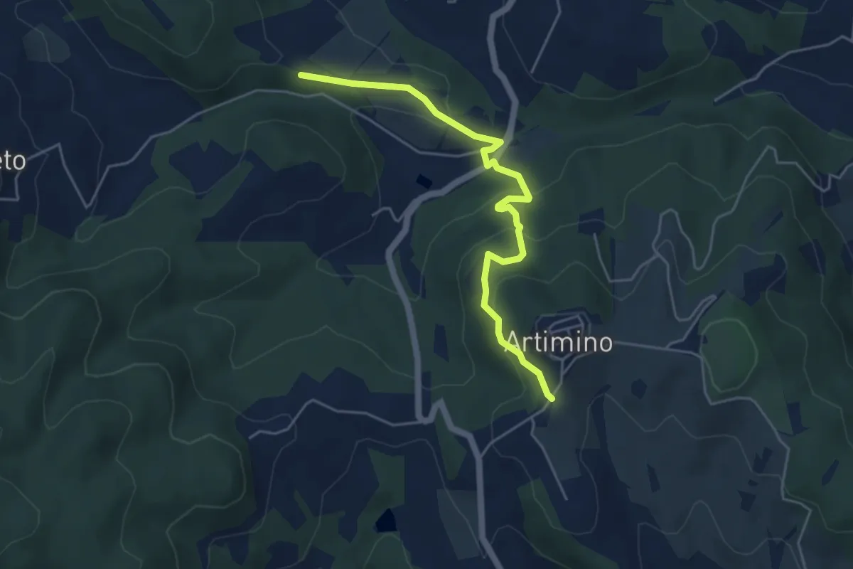
Easy · Trail
Podere Campisalti – Artimino
5.1 km · ↑ 232 m · 1 h 42 min · 11 km away
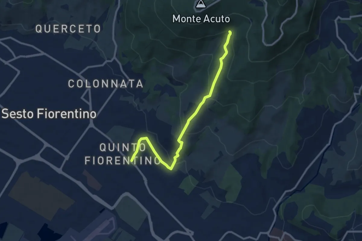
Medium · Trail
Parcheggio campo Atletica (m. 60) – Ponte Spartimoglie (m. 380 - sent. 3)
8.1 km · ↑ 355 m · 2 h 41 min · 12 km away
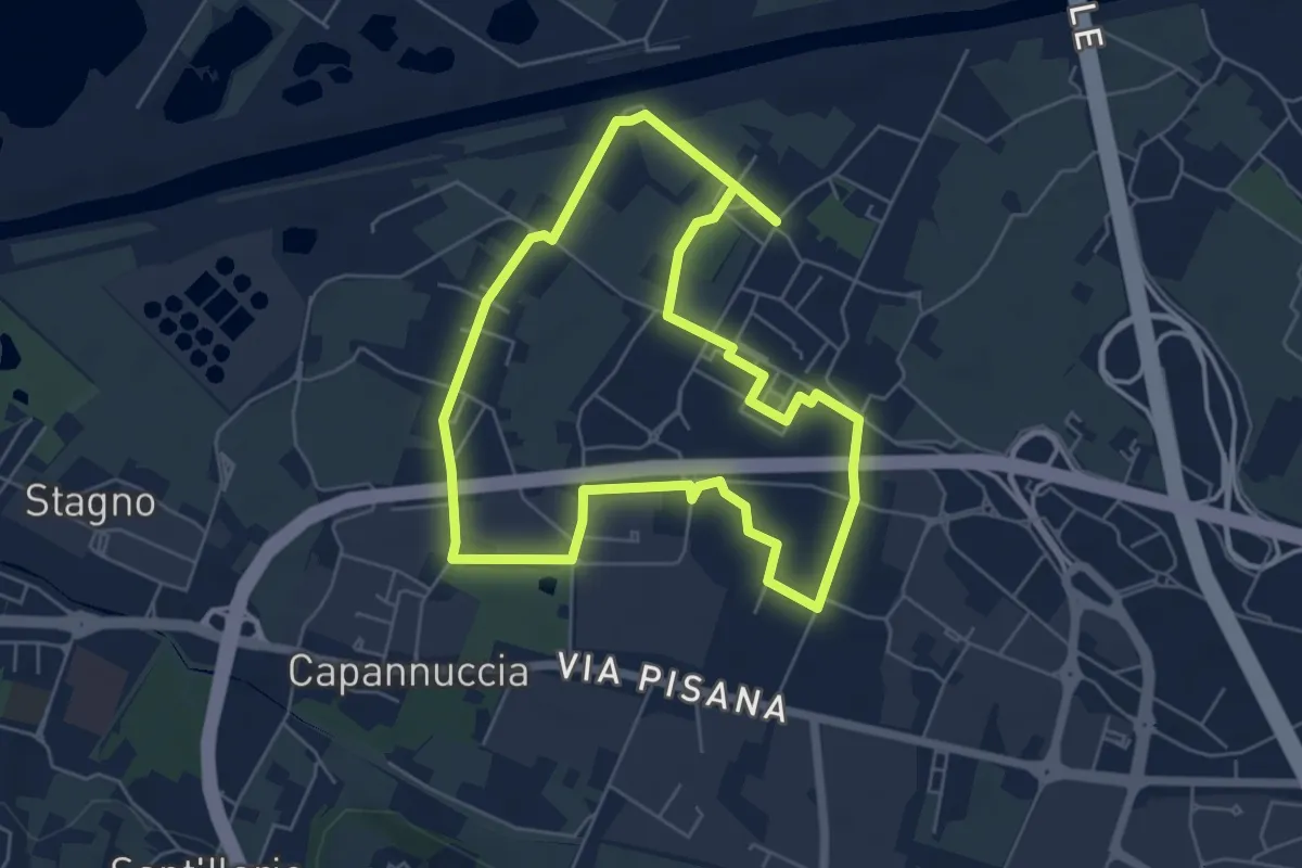
Easy · Trail
Badia a Settimo - Variante sentiero dei 3 Fiumi
5.8 km · ↑ 0 m · 1 h 26 min · 12 km away
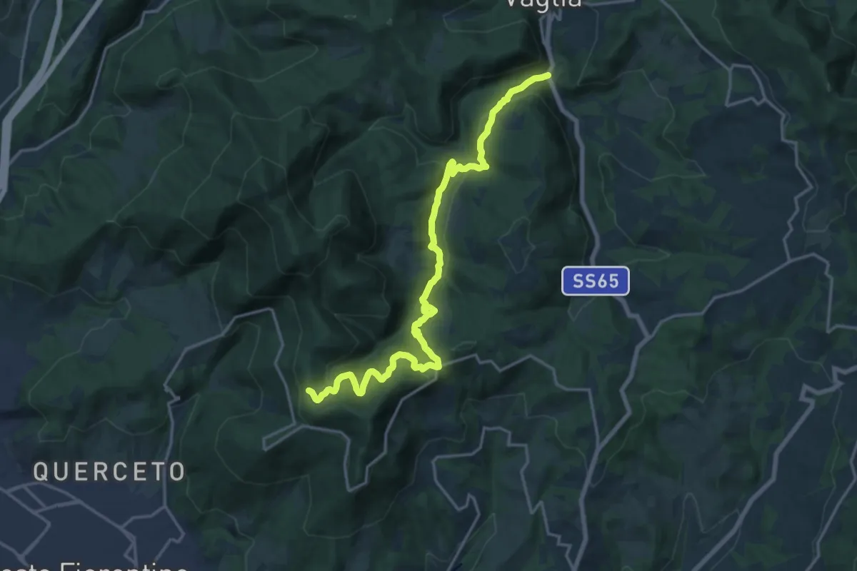
Demanding · Trail
S.S. 65 - Paterno – Sella degli Scollini
19.0 km · ↑ 751 m · 6 h 7 min · 12 km away
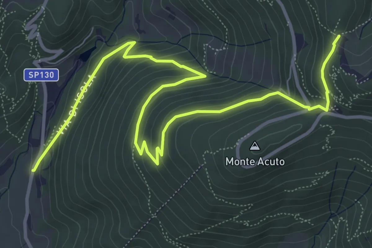
Medium · Trail
Le Mulina – Sella degli Scollini
10.0 km · ↑ 503 m · 3 h 27 min · 12 km away
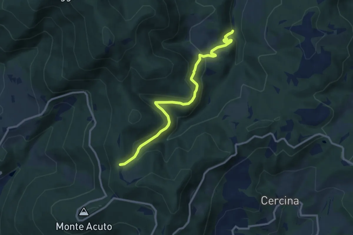
Medium · Trail
Percorso 6 – Sella degli Scollini
8.1 km · ↑ 399 m · 2 h 47 min · 12 km away
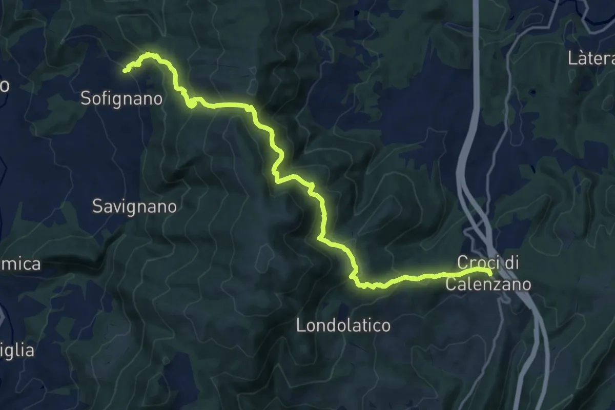
Demanding · Trail
Chiesa di Sofignano – Croci di Calenzano
17.0 km · ↑ 948 m · 6 h 4 min · 12 km away
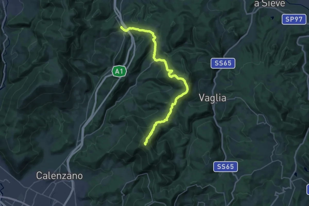
Demanding · Summit
Ceppeto – Croci di Calenzano
24.5 km · ↑ 996 m · 7 h 56 min · 12 km away
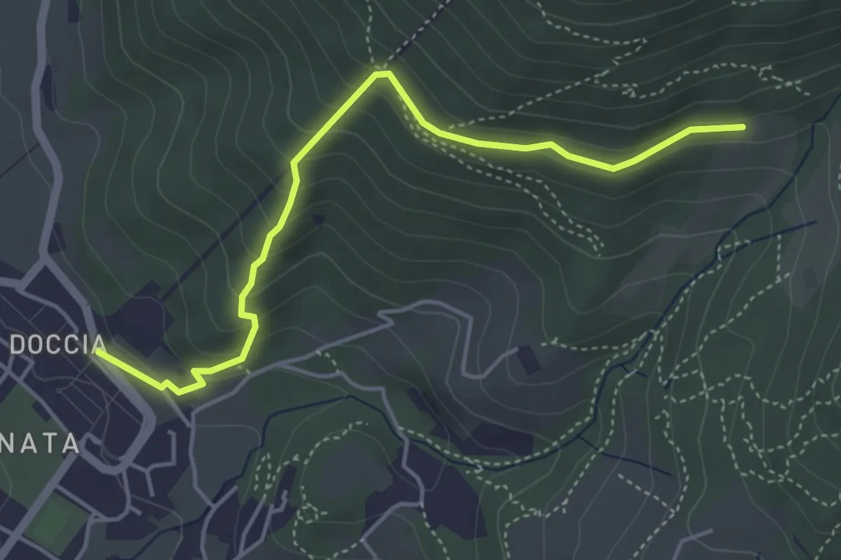
Easy · Trail
Colonnata – Casa Solatio
4.7 km · ↑ 288 m · 1 h 45 min · 12 km away
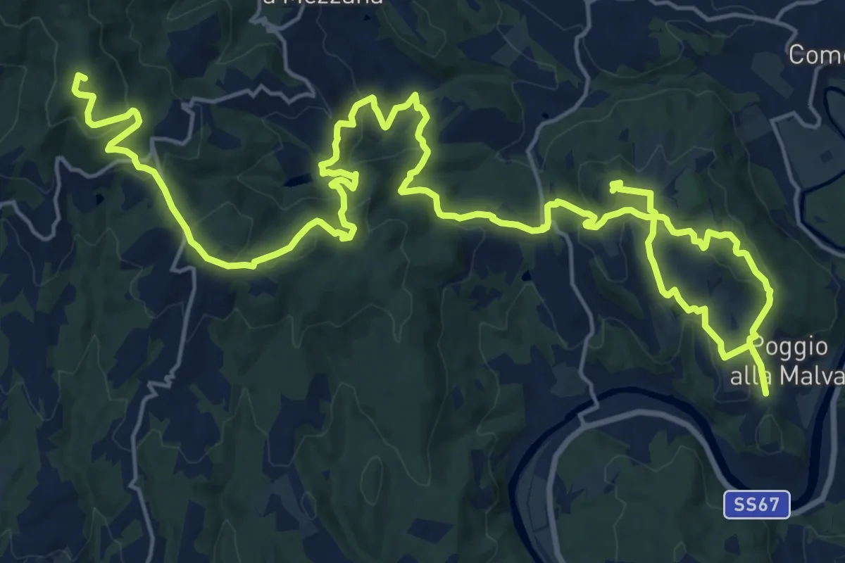
Demanding · Summit
Tappa 2: Artimino - Bacchereto
33.2 km · ↑ 1329 m · 10 h 43 min · 12 km away
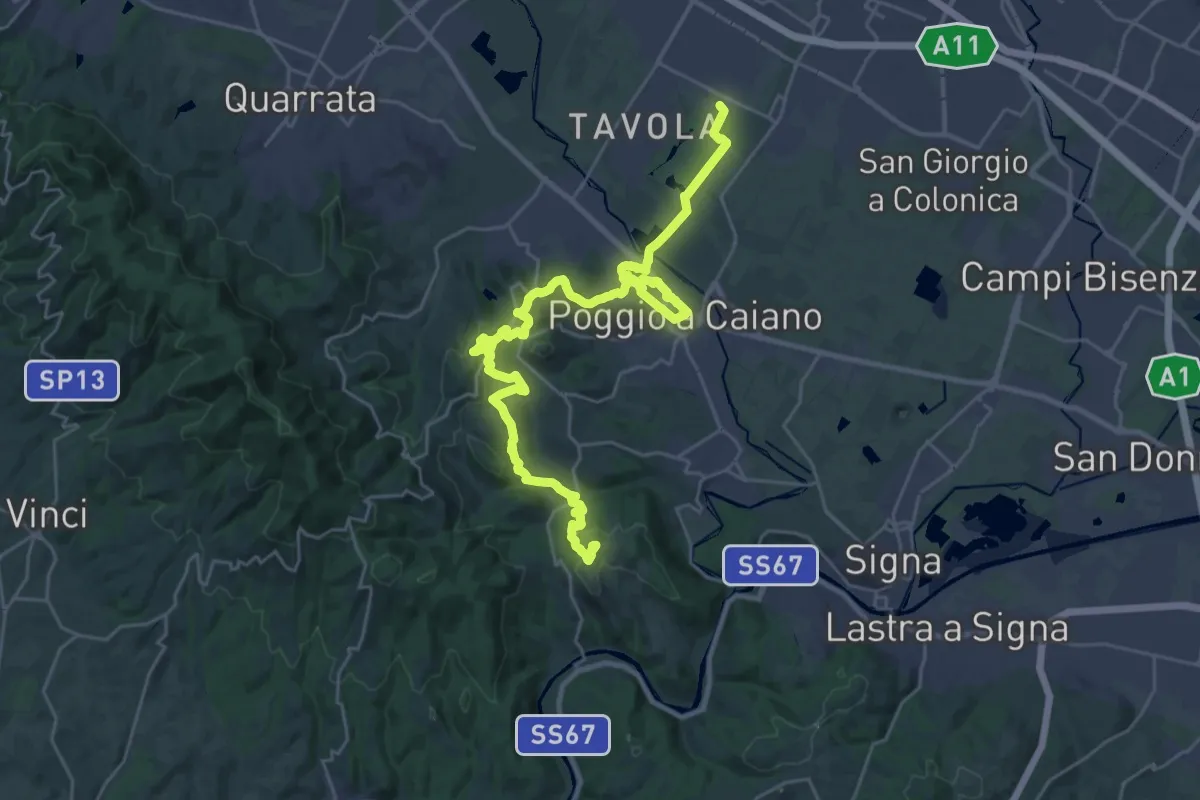
Medium · Trail
Tappa 1: Prato - Artimino
17.8 km · ↑ 389 m · 5 h 24 min · 12 km away
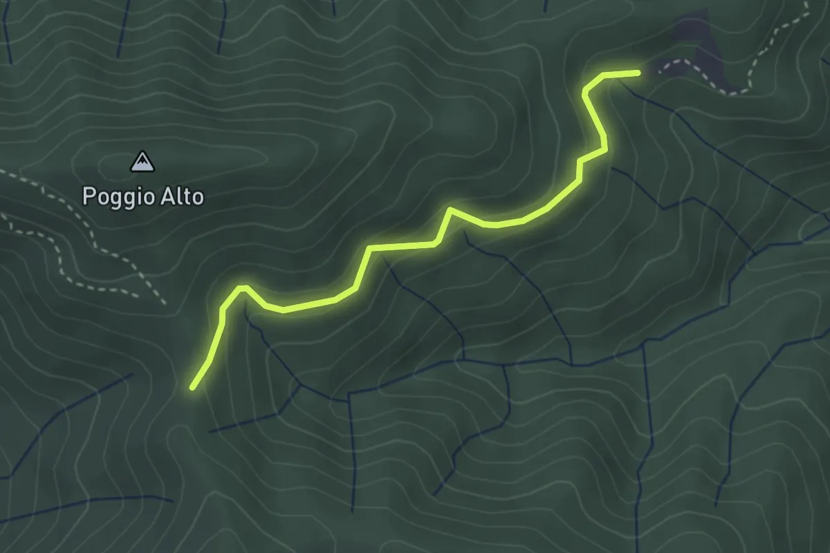
Easy · Cabin
Passo degli Acandoli – Sopra Cascina Vespaio
3.2 km · ↑ 169 m · 1 h 7 min · 12 km away
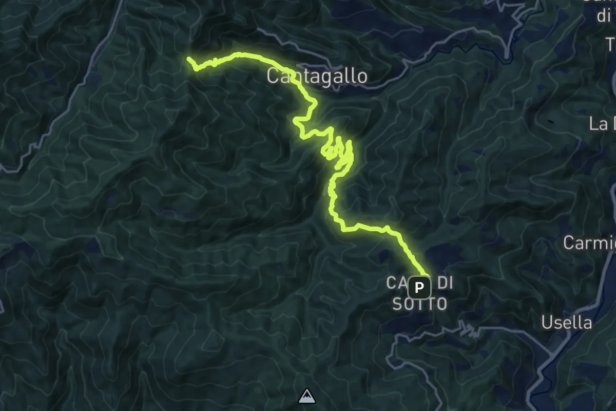
Demanding · Trail
Masseto (via Migliana) – Foce ai Fontanini
10.7 km · ↑ 902 m · 4 h 28 min · 12 km away
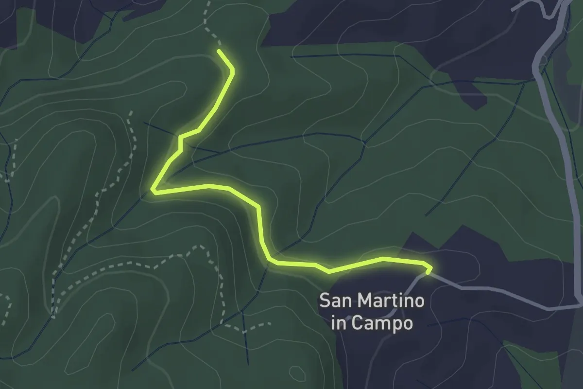
Easy · Trail
Caselli – Sotto San Martino
2.9 km · ↑ 71 m · 50 min · 12 km away
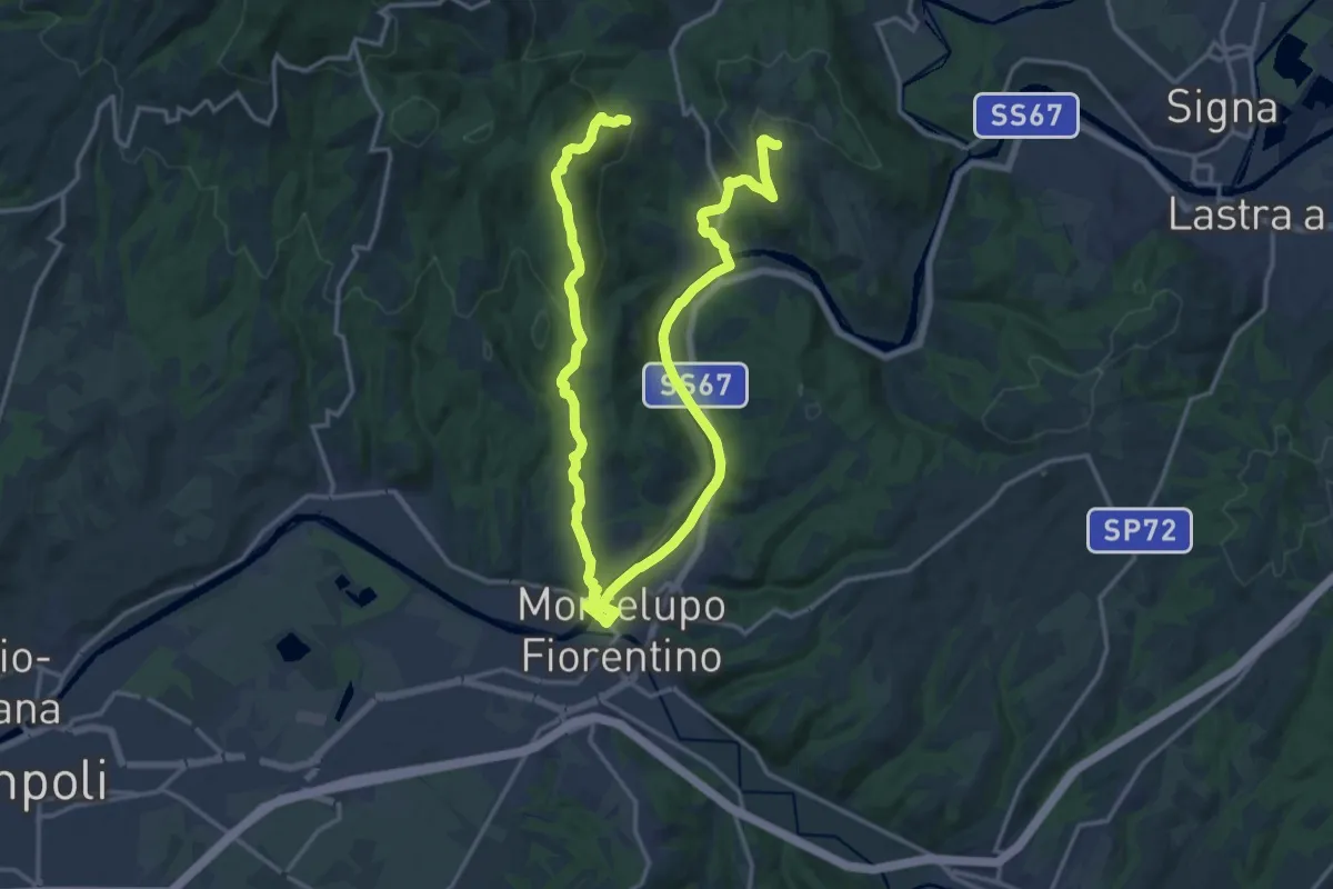
Demanding · Trail
Anello di Capraia e Montelupo
26.9 km · ↑ 586 m · 7 h 37 min · 12 km away
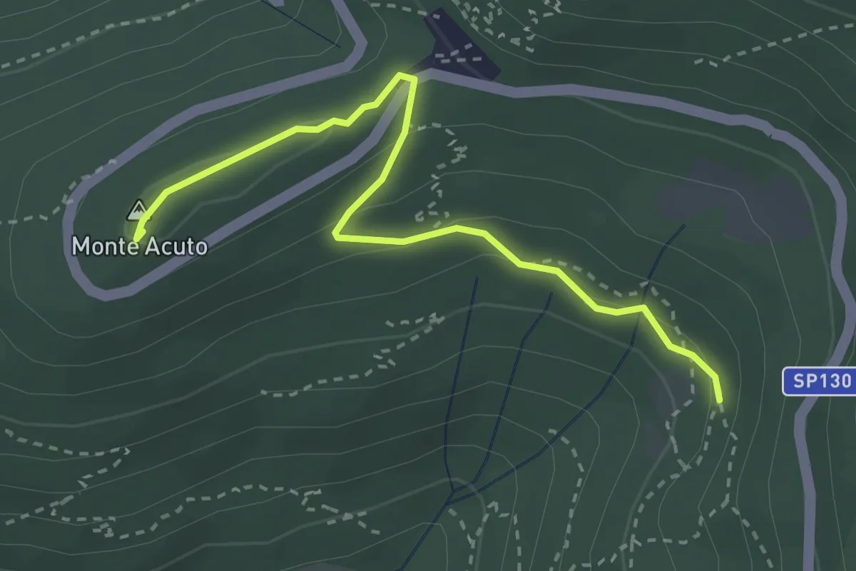
Medium · Summit
Incrocio sentiero 3 – Incrocio sentiero 602
3.3 km · ↑ 101 m · 59 min · 12 km away
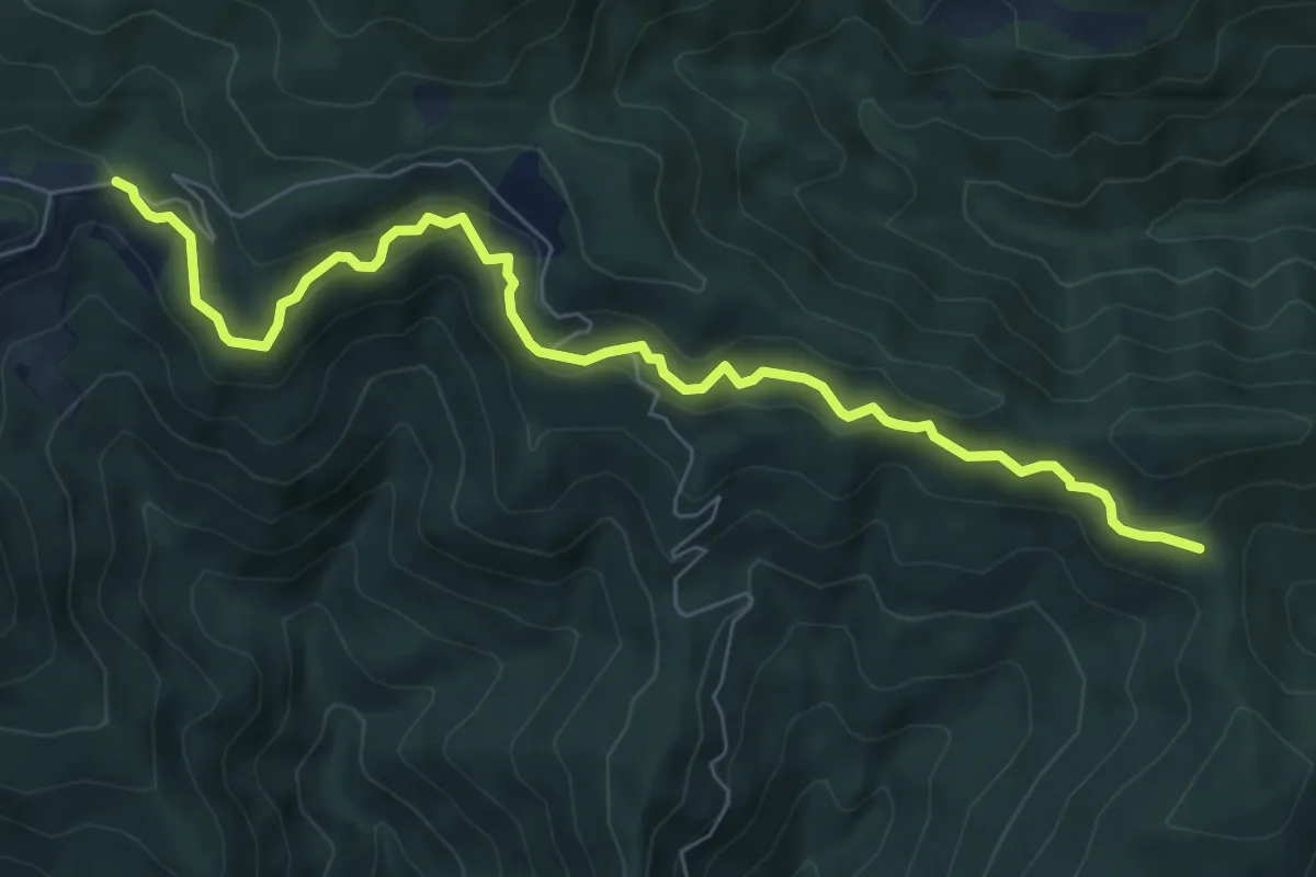
Medium · Cabin
Bivio per Passo degli Acandoli – Cascina Spedaletto
8.1 km · ↑ 445 m · 2 h 53 min · 12 km away
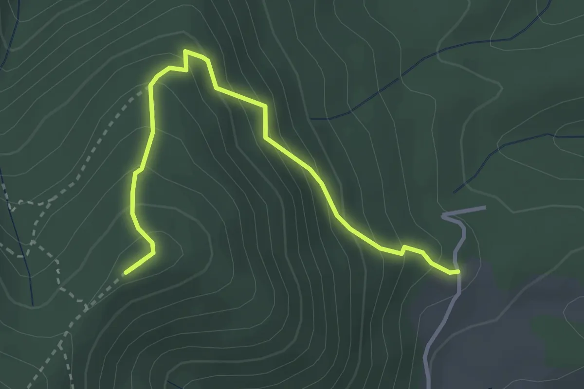
Medium · Summit
Capannaccia – Sella delle Colline
3.4 km · ↑ 303 m · 1 h 27 min · 13 km away
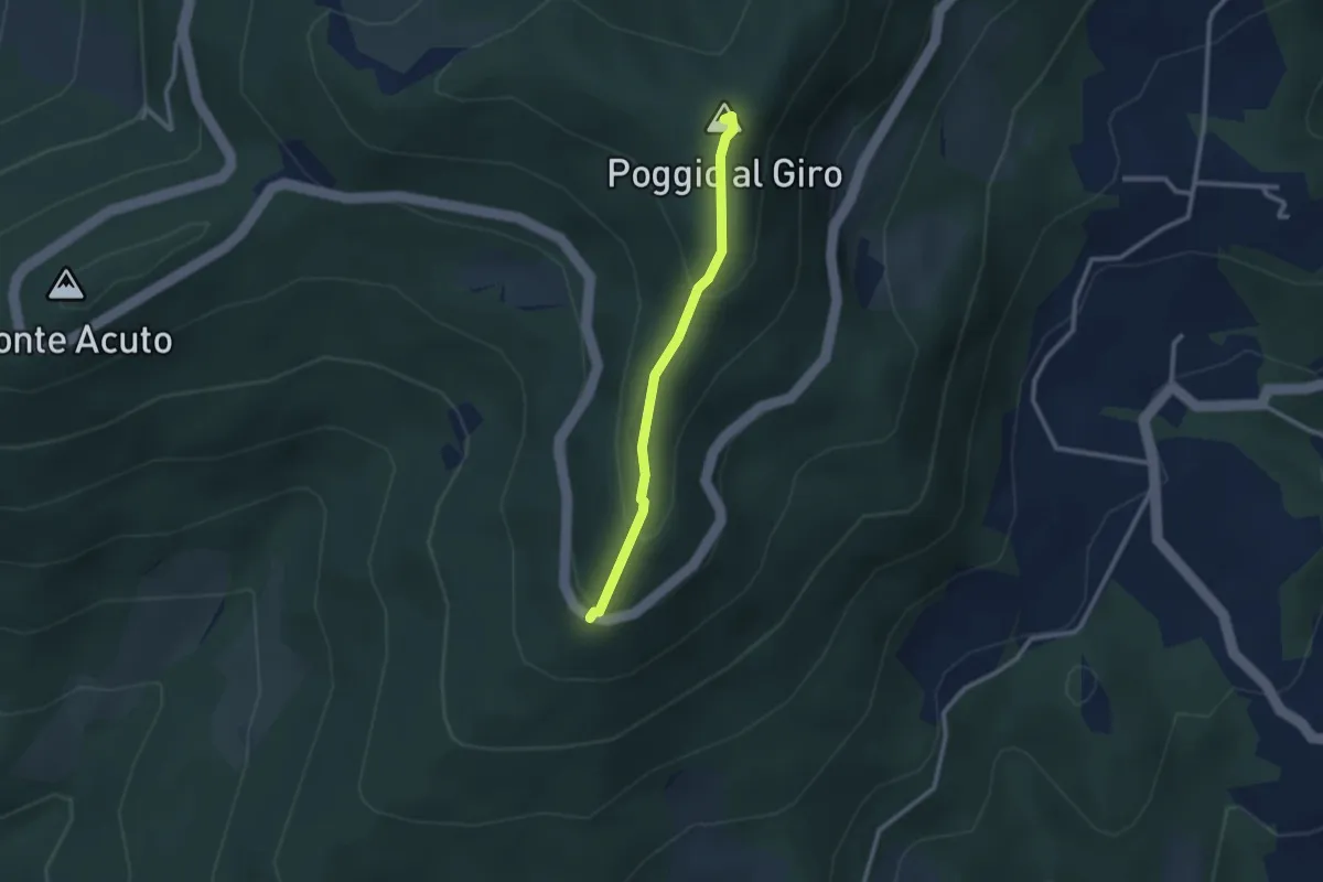
Easy · Summit
Piazzale L. da Vinci – Poggio al Giro
2.4 km · ↑ 164 m · 56 min · 13 km away
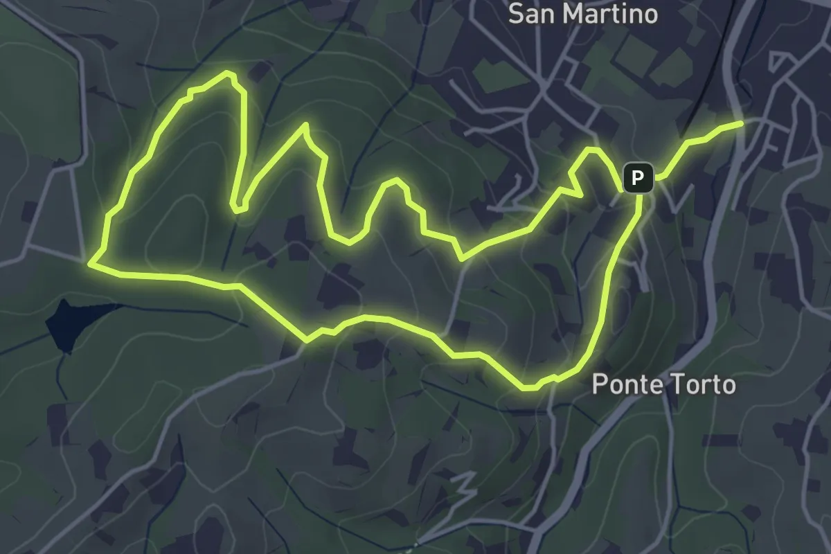
Easy · Trail
Anello Villa Caruso
4.9 km · ↑ 243 m · 1 h 46 min · 13 km away
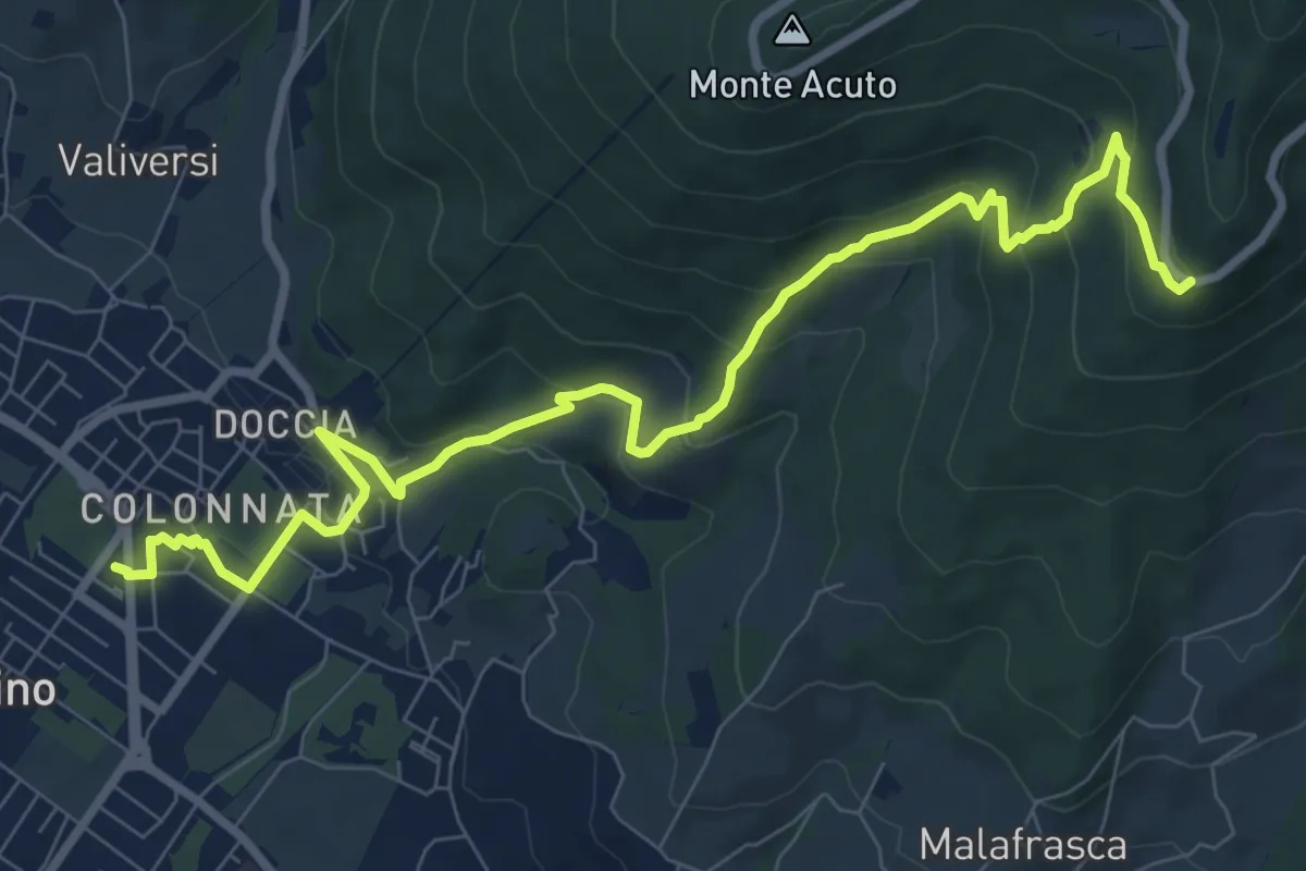
Medium · Trail
Colonnata – Piazzale Leonardo da Vinci
10.9 km · ↑ 516 m · 3 h 41 min · 13 km away
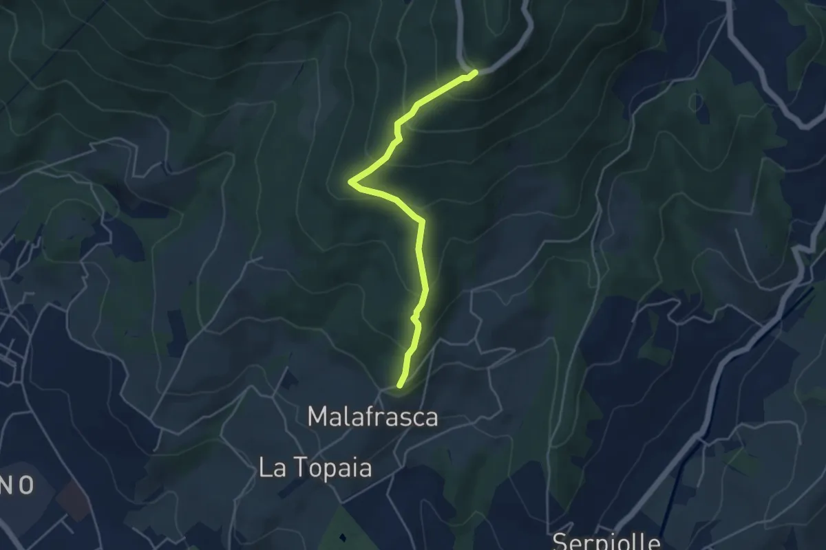
Medium · Trail
Via di Malafrasca – Piazzale L. da Vinci
4.2 km · ↑ 329 m · 1 h 42 min · 13 km away
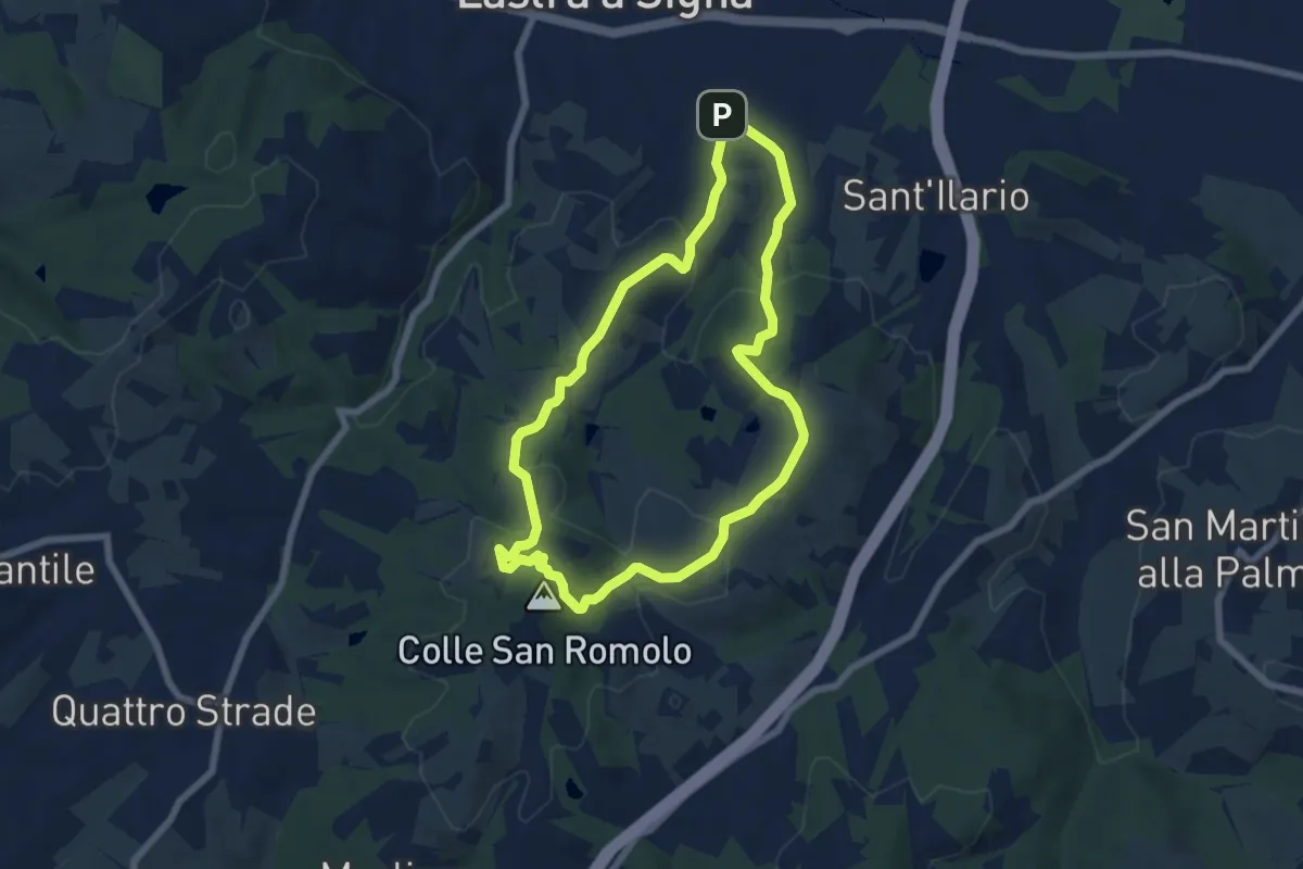
Easy · Summit
Anello di San-Romolo
6.6 km · ↑ 247 m · 2 h 11 min · 13 km away
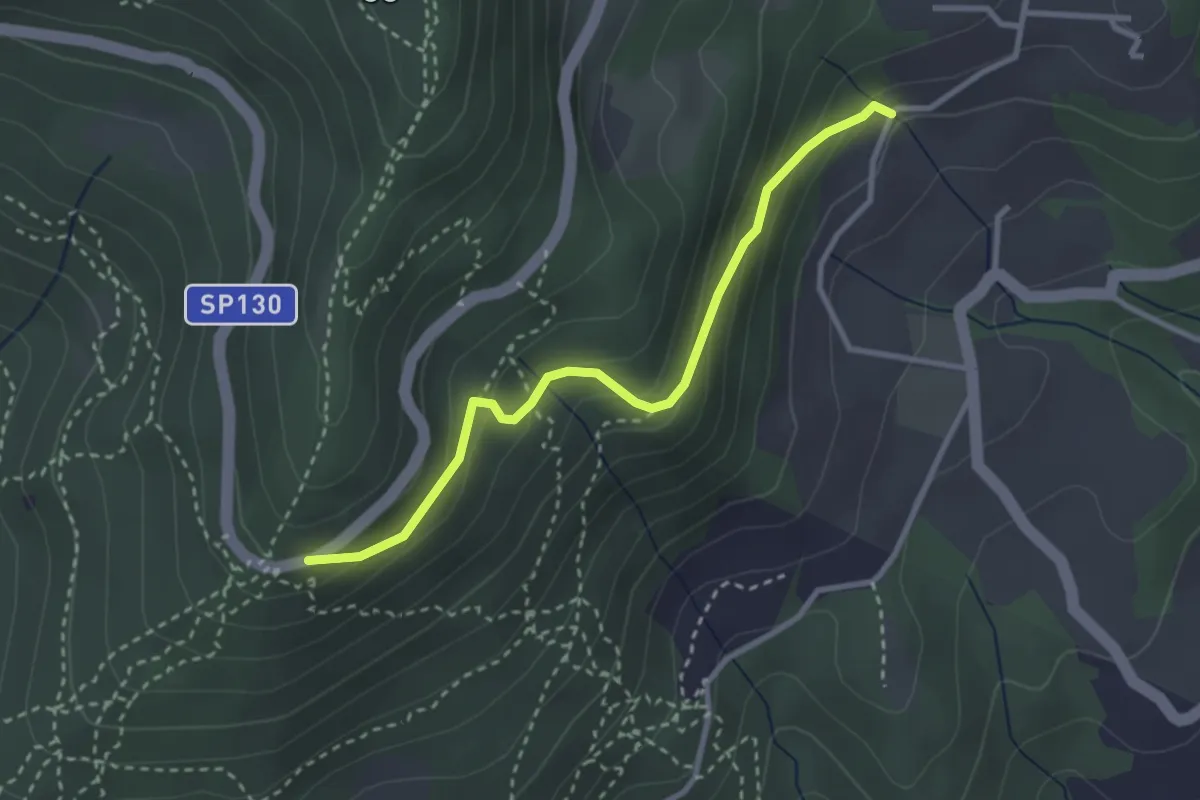
Easy · Trail
Piazzale Leonardo da Vinci – Podere Casaccia
3.1 km · ↑ 193 m · 1 h 9 min · 13 km away
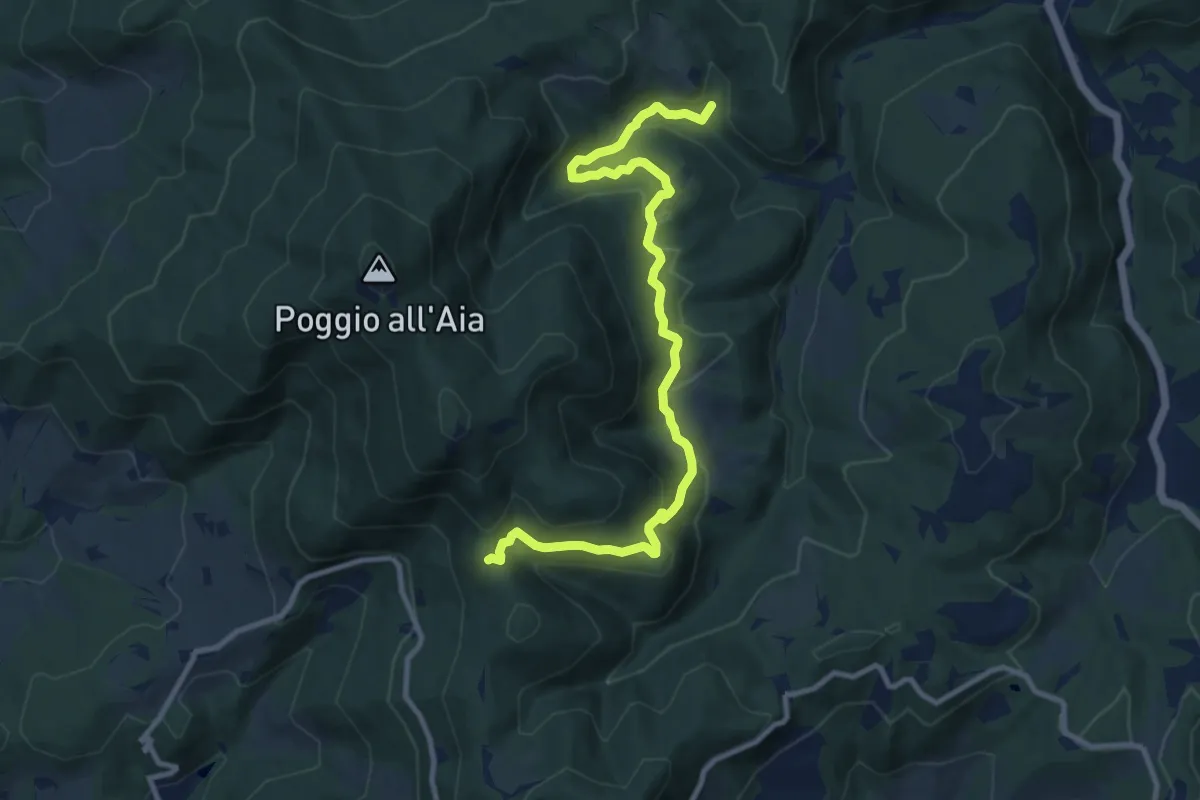
Medium · Trail
Cerreto Maggio – Sella delle Colline
11.7 km · ↑ 447 m · 3 h 43 min · 13 km away
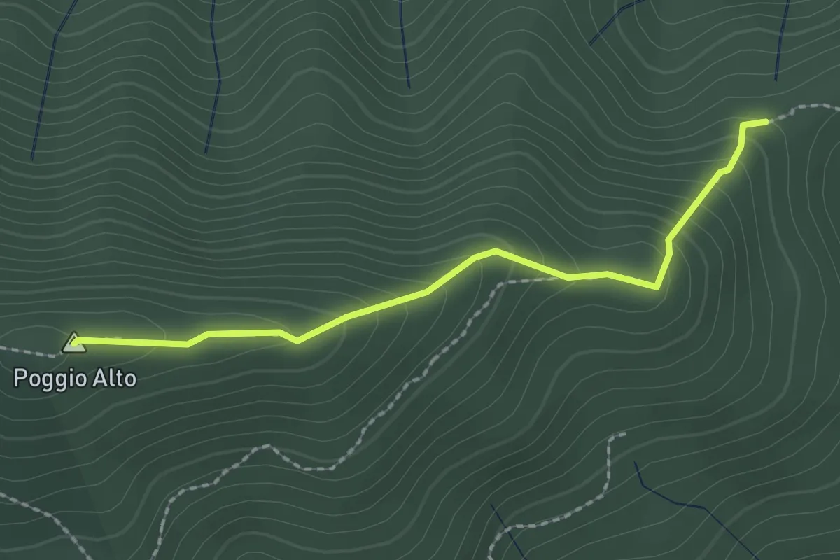
Easy · Summit
Tedesco Morto – Sopra Cascina Vespaio
2.2 km · ↑ 184 m · 54 min · 13 km away
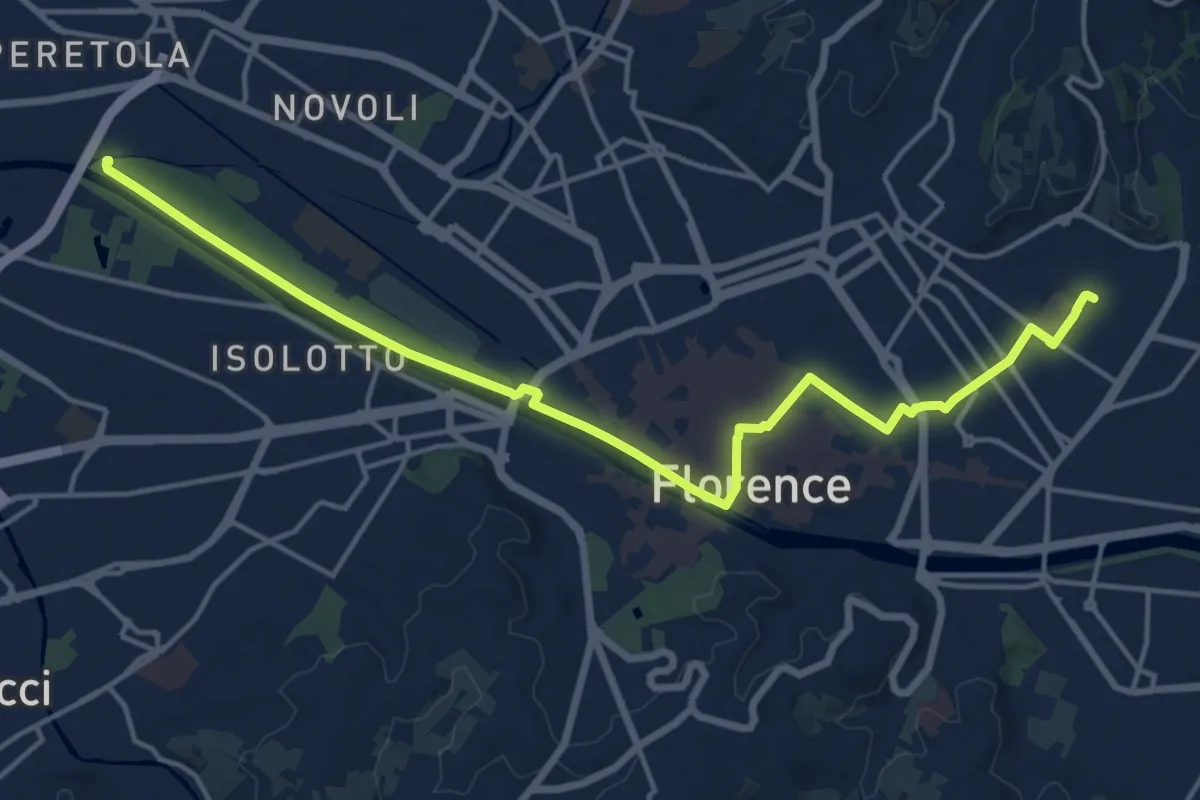
Demanding · Trail
Tappa 6 - Attraverso Firenze
18.6 km · ↑ 58 m · 4 h 31 min · 13 km away
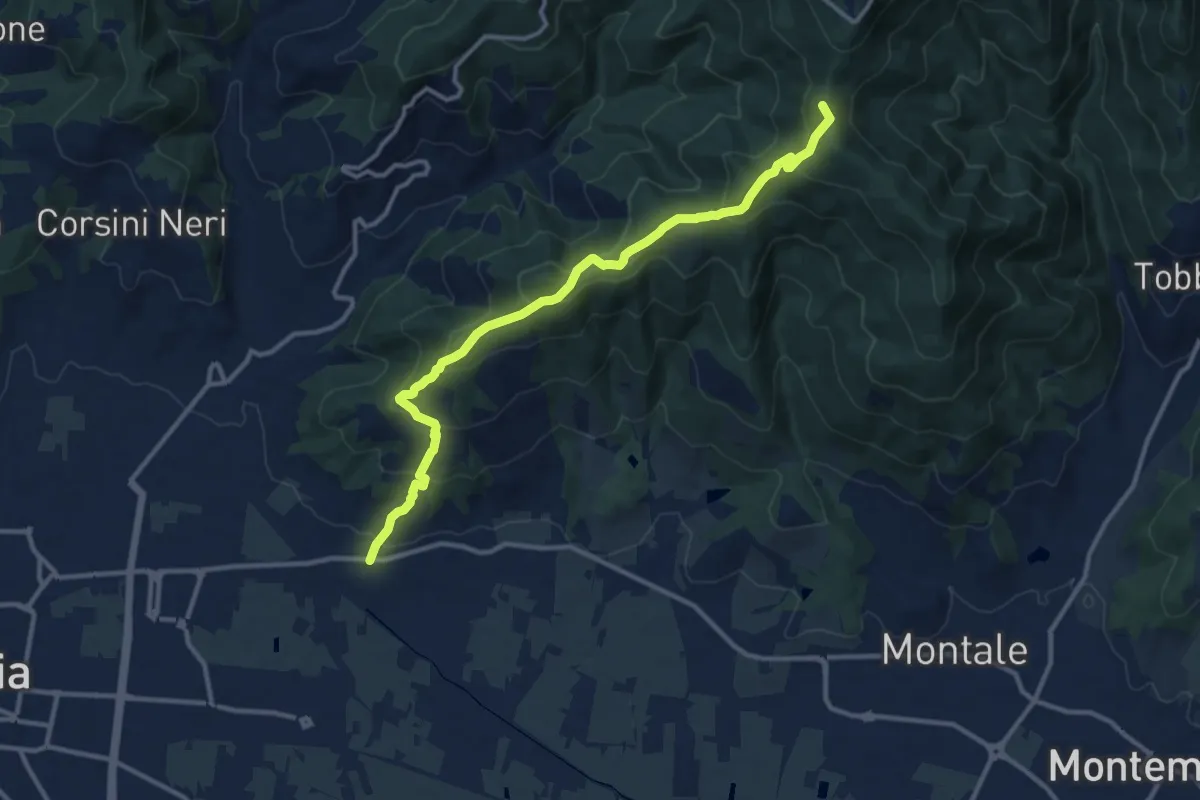
Medium · Summit
Pontenuovo – innesto sentiero 234
12.8 km · ↑ 731 m · 4 h 37 min · 13 km away
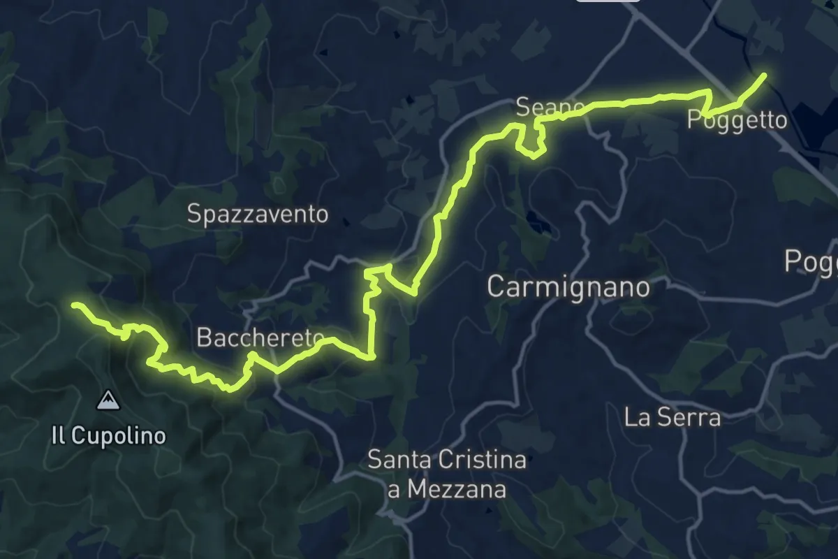
Demanding · Trail
Ponte a Tigliano – Torre Sant'Allluccio
22.0 km · ↑ 774 m · 6 h 52 min · 13 km away
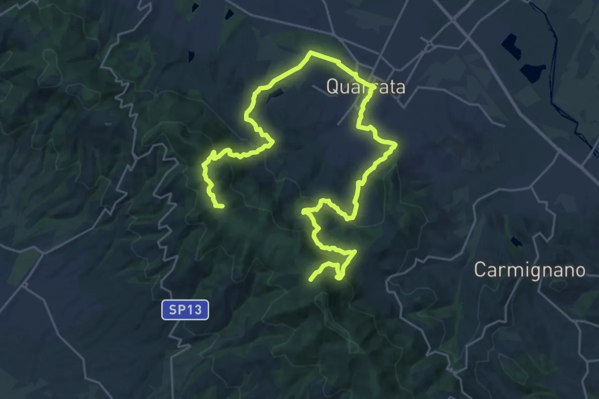
Demanding · Summit
Anello della Magia - Quarrata
32.0 km · ↑ 1351 m · 10 h 29 min · 13 km away
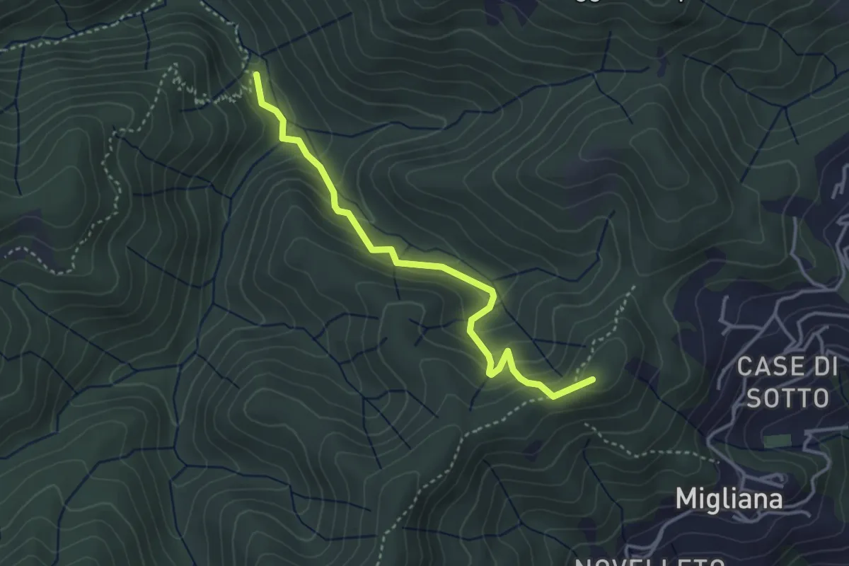
Medium · Summit
Migliana – Campi bassi Vespaio
3.6 km · ↑ 285 m · 1 h 29 min · 13 km away
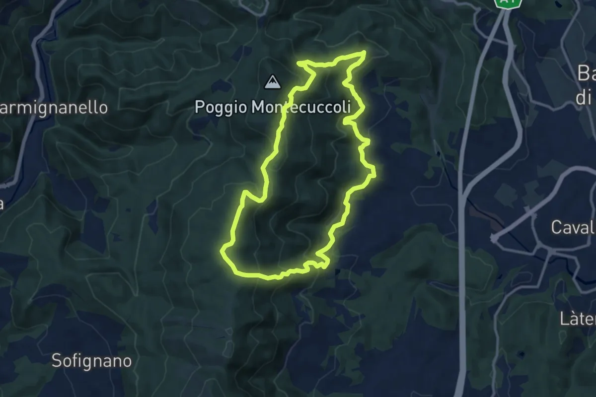
Medium · Summit
Sorgenti di Firenze Trekking - Anello 9: Sul crinale della Calvana
10.4 km · ↑ 524 m · 3 h 43 min · 13 km away
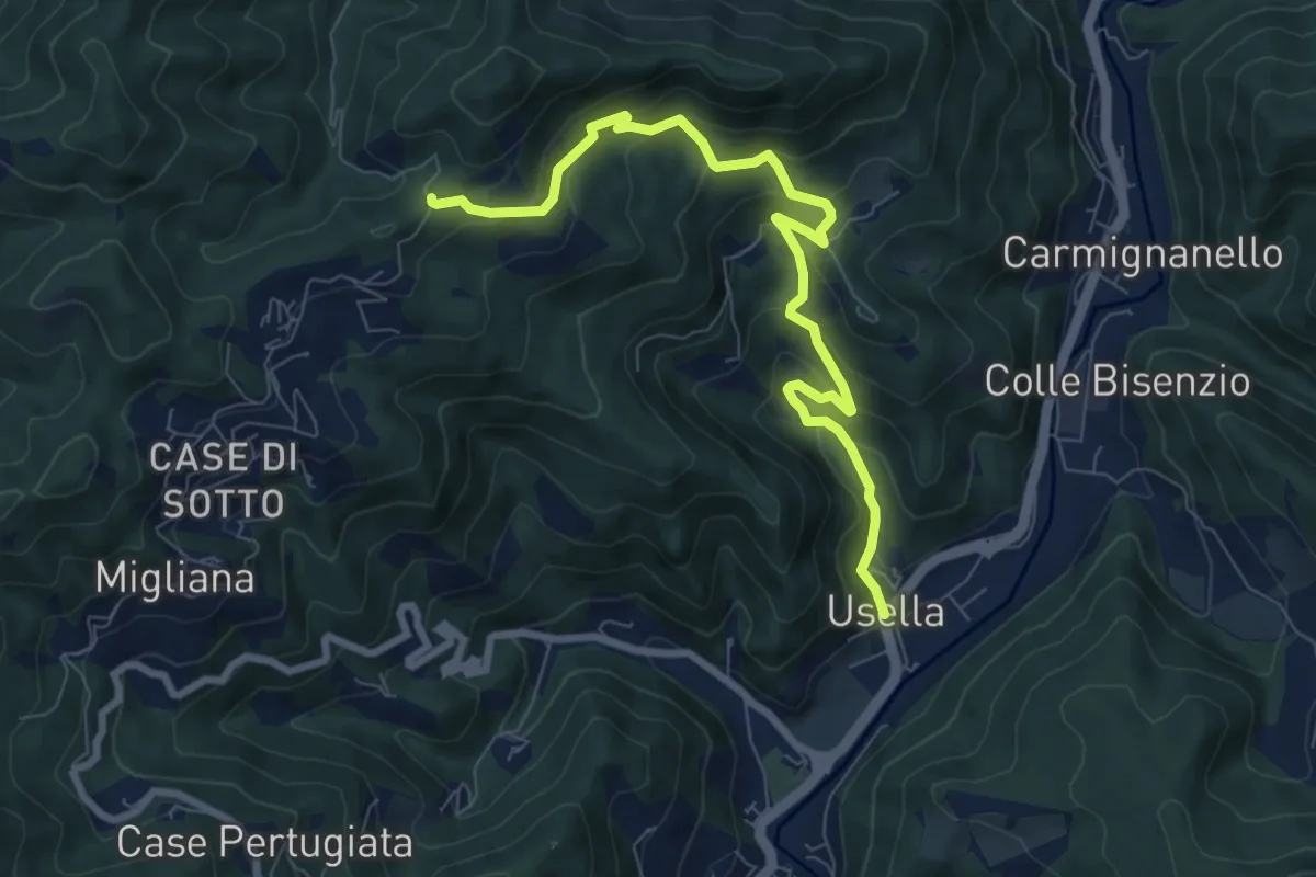
Medium · Trail
Usella – Tabernacolo Crocetta al Canvella
8.7 km · ↑ 528 m · 3 h 13 min · 13 km away