Trails near Prato
120 hikes starting within 15 km, nearest first.
Nearest first, page 3 of 3
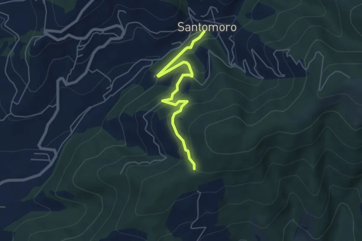
Easy · Trail
Santomoro – innesto sentiero 202
4.7 km · ↑ 270 m · 1 h 41 min · 13 km away
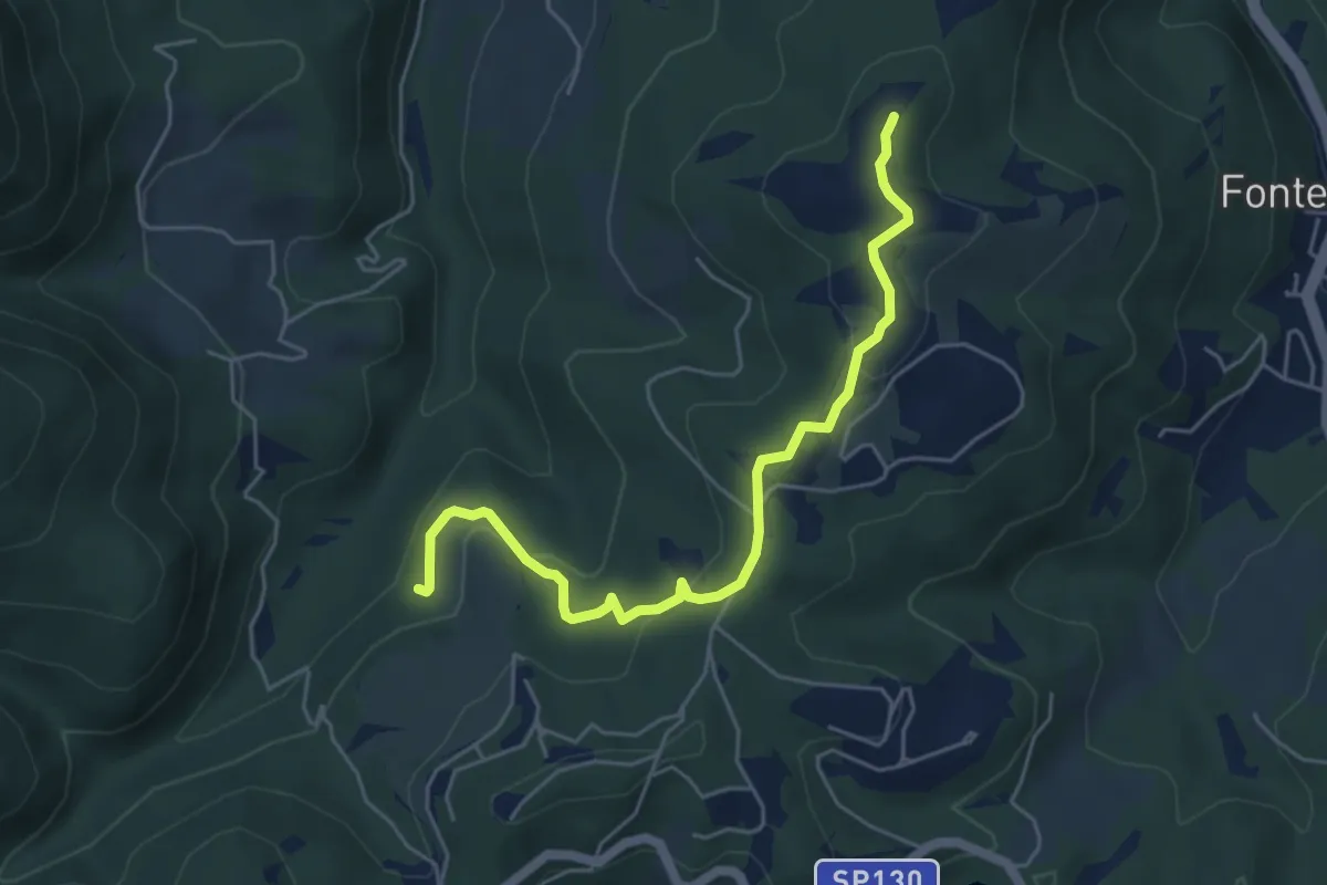
Easy · Summit
Anello della Carzola
5.6 km · ↑ 177 m · 1 h 42 min · 13 km away
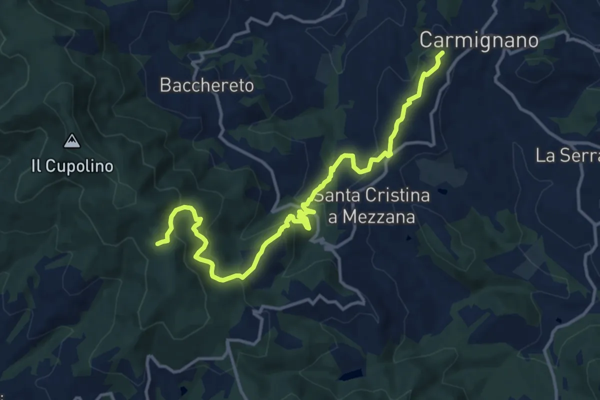
Medium · Trail
Carmignano – Pietramarina
12.7 km · ↑ 728 m · 4 h 34 min · 13 km away
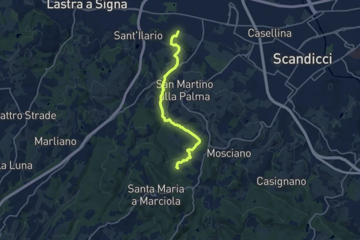
Medium · Trail
sentiero CAI 746 3 fiumi in località Castelpulci - Torrente Vingone – sentiero CAI 734 in località Sevoli
11.6 km · ↑ 315 m · 3 h 25 min · 13 km away
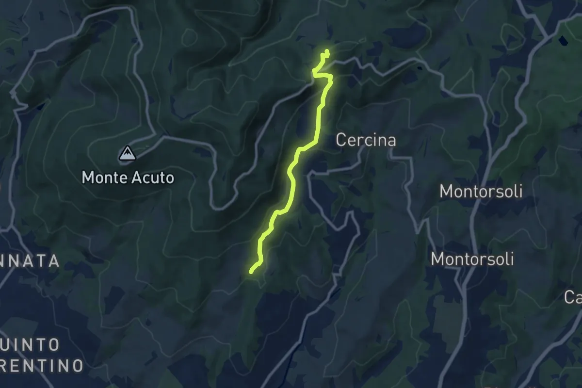
Medium · Summit
Percorso 5 – Caselline
7.5 km · ↑ 344 m · 2 h 31 min · 13 km away
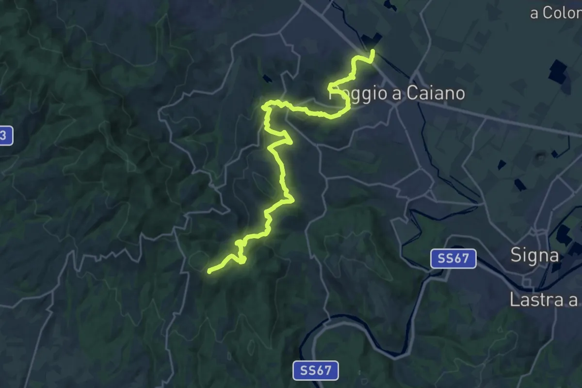
Medium · Trail
Cassa espansione Taglianico – Casenuove
12.8 km · ↑ 340 m · 4 h 7 min · 14 km away
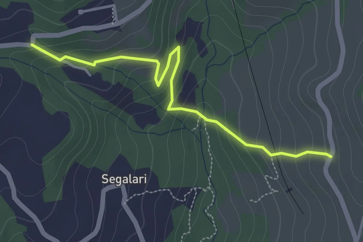
Easy · Trail
Via di Docciola (m. 300) – Incrocio sentiero 15 (m. 335)
3.2 km · ↑ 185 m · 1 h 9 min · 14 km away
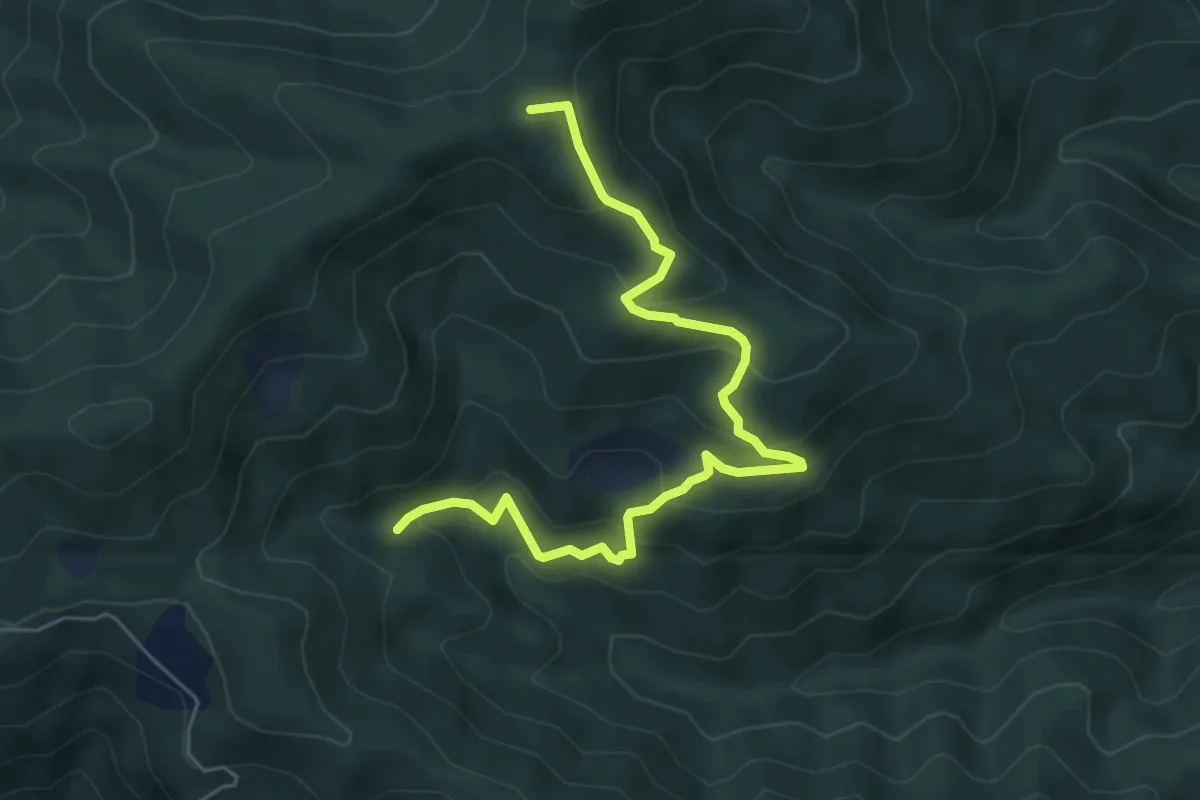
Medium · Summit
Fosso delle Barbe – Foce di Cerbiancana
6.3 km · ↑ 398 m · 2 h 21 min · 14 km away
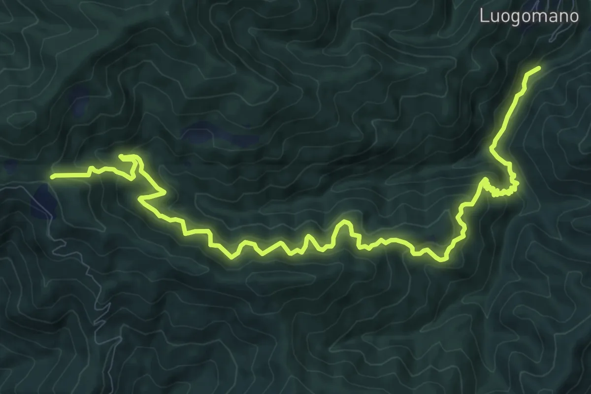
Demanding · Trail
ponte di Taglianico – Passo degli Acquiputoli
15.5 km · ↑ 1312 m · 6 h 30 min · 14 km away
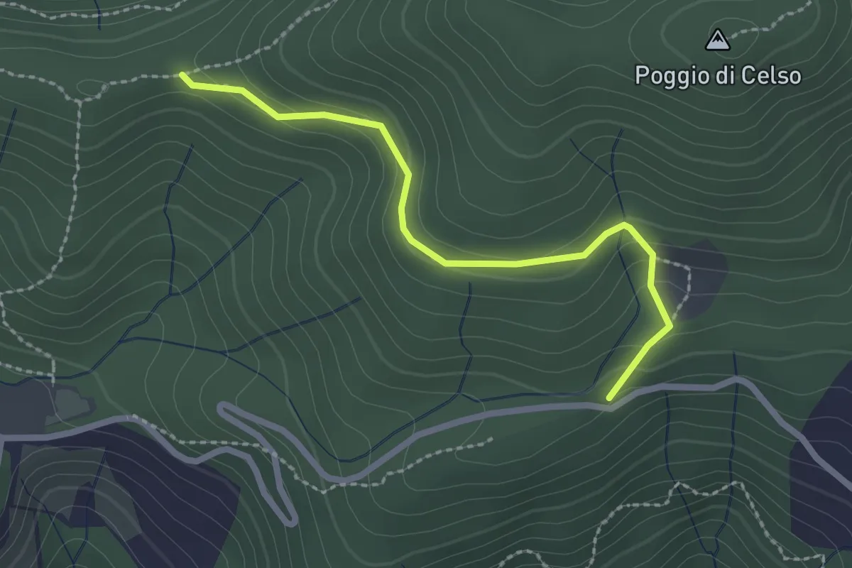
Easy · Trail
Antenna Acquiputoli – Uccelliera
2.4 km · ↑ 115 m · 48 min · 14 km away
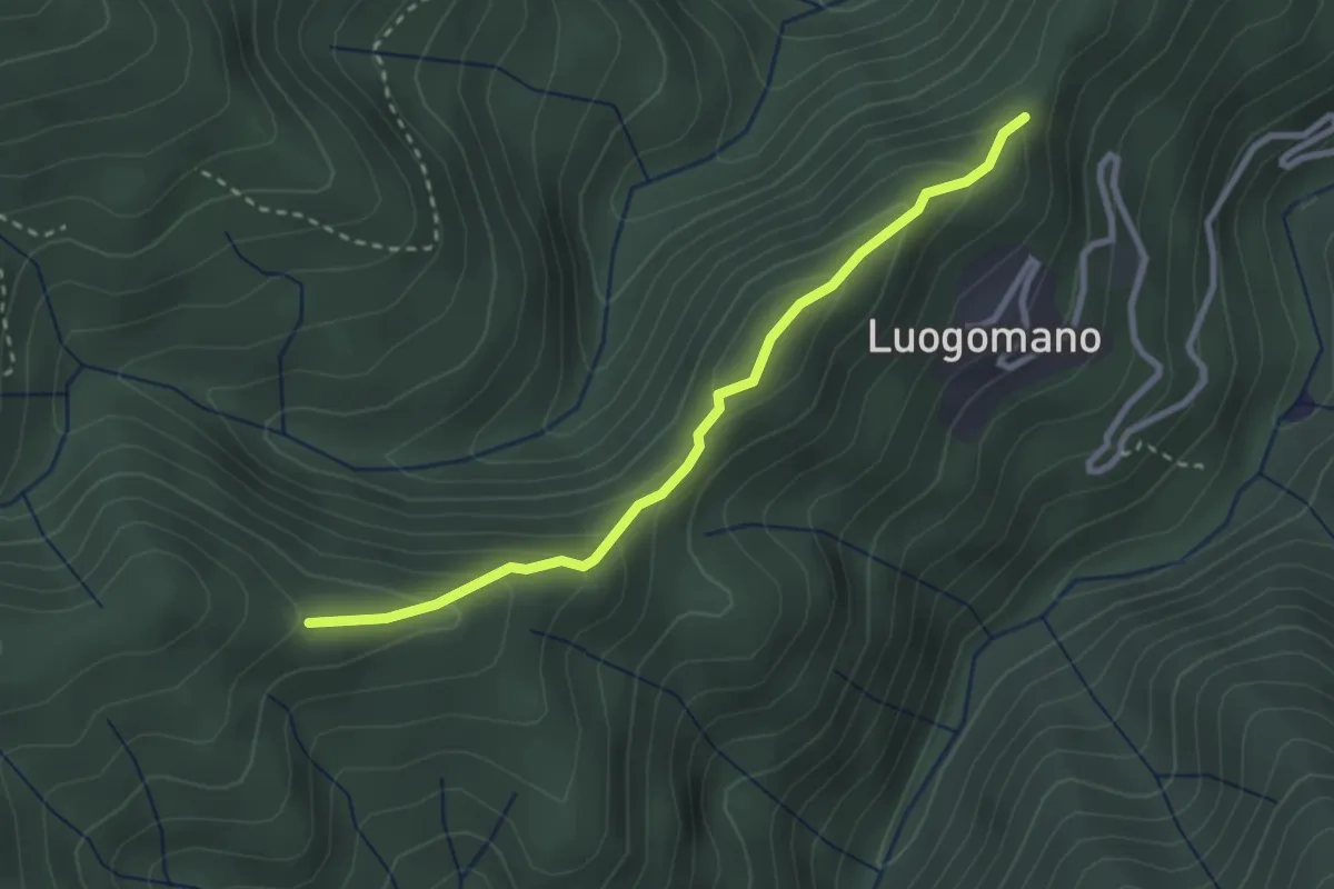
Easy · Trail
Luogomano – Il Cerro
2.9 km · ↑ 197 m · 1 h 6 min · 14 km away
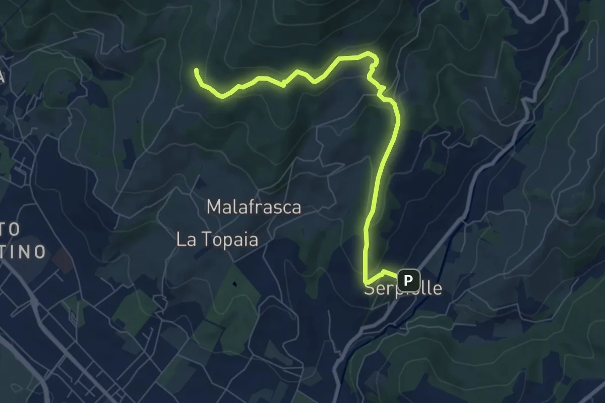
Medium · Trail
Serpiolle – Quota 328 sentiero 4
7.9 km · ↑ 360 m · 2 h 39 min · 14 km away
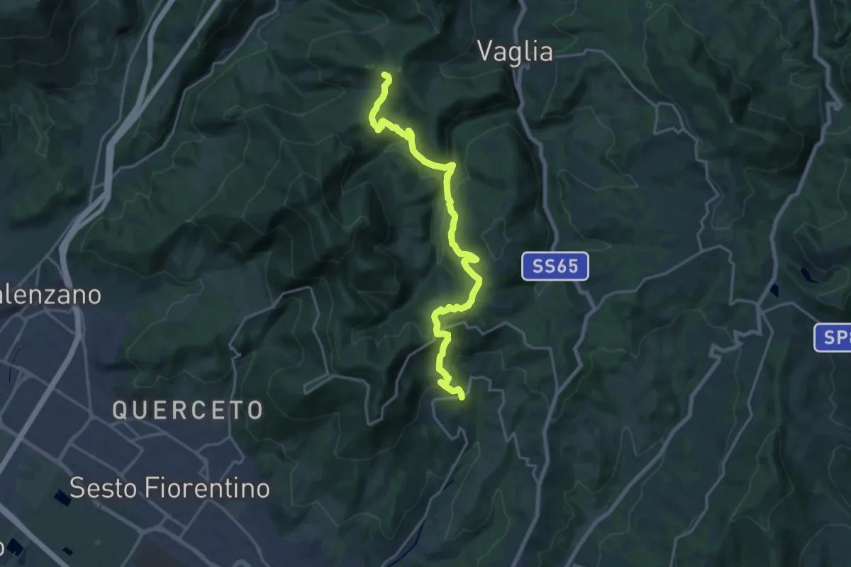
Demanding · Summit
Sentiero dei Castelli
20.2 km · ↑ 810 m · 6 h 32 min · 14 km away
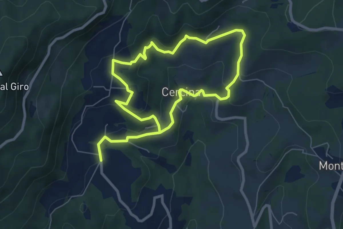
Easy · Trail
Chiesa di Cercina – Chiesa di Cercina
5.2 km · ↑ 237 m · 1 h 49 min · 14 km away
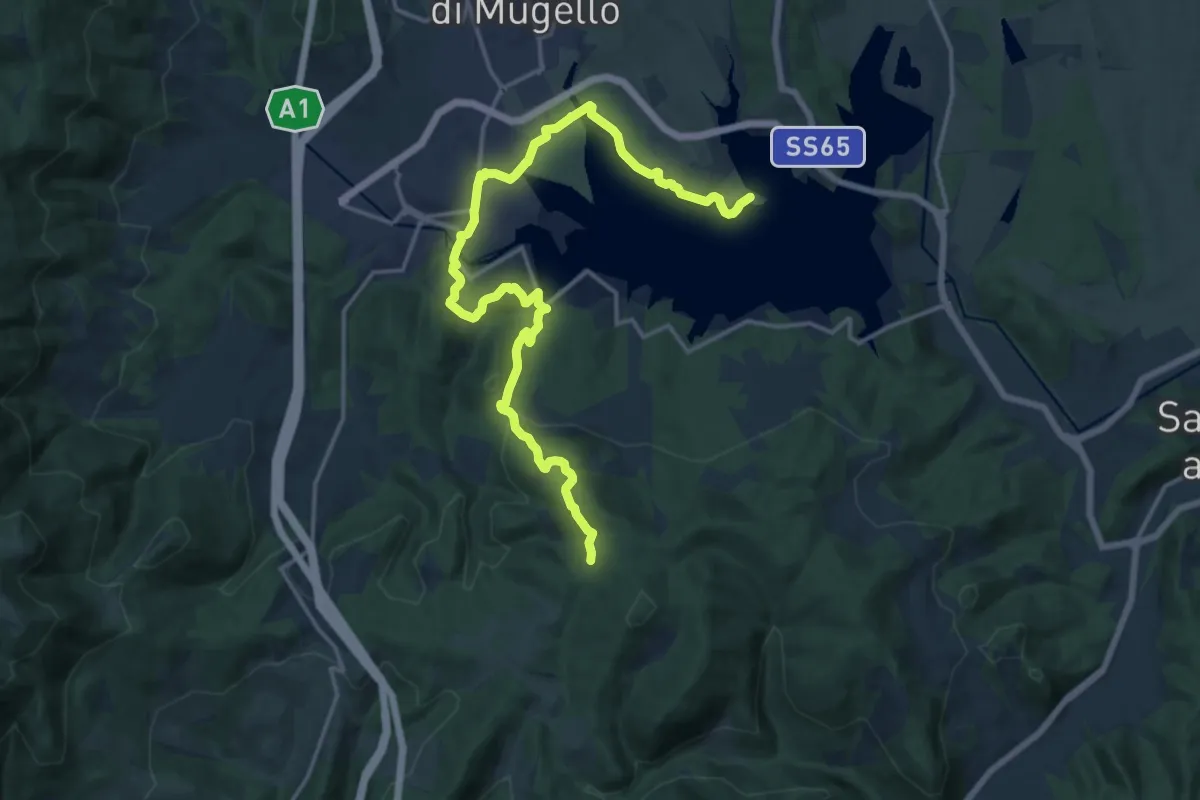
Demanding · Trail
Il Fangaccio – Chiesa di Cupo
19.7 km · ↑ 534 m · 5 h 49 min · 14 km away
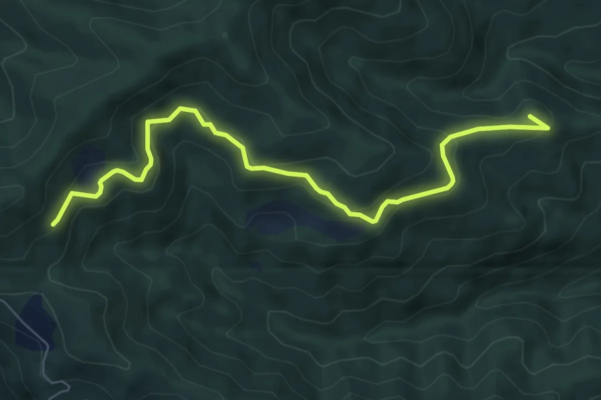
Medium · Summit
Straccalasini – Fregionaia/Le Cerchiaia
7.5 km · ↑ 379 m · 2 h 35 min · 14 km away
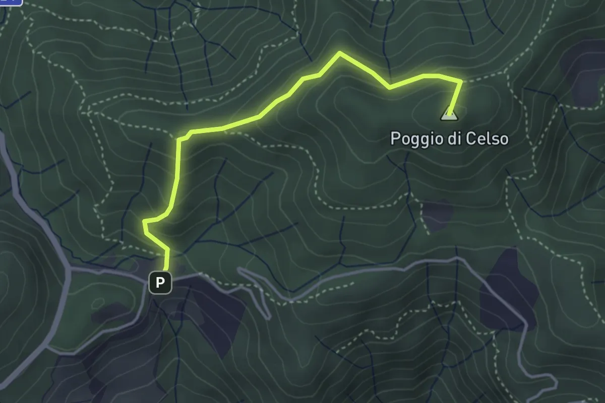
Medium · Summit
Cascina di Spedaletto – Culipiana
3.8 km · ↑ 299 m · 1 h 32 min · 14 km away
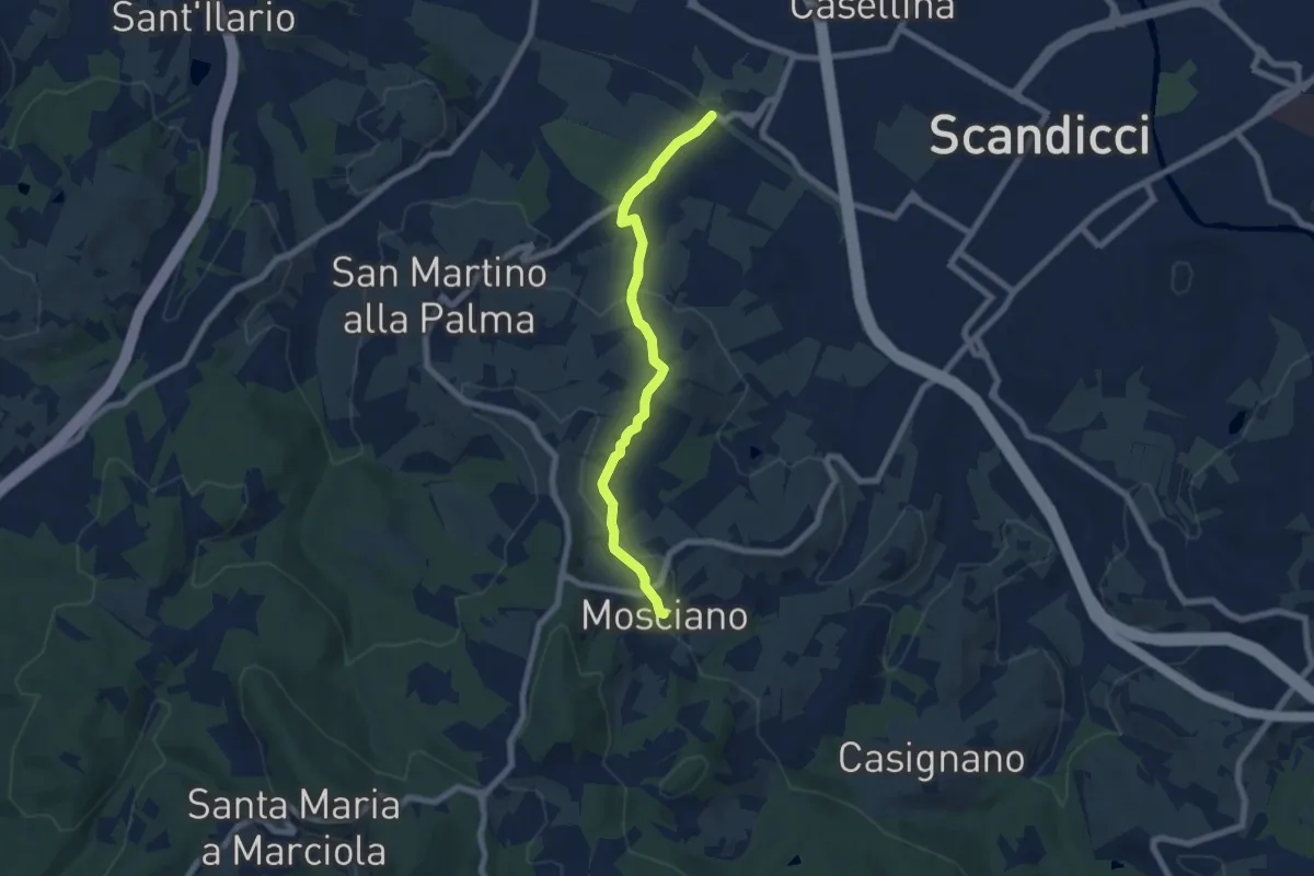
Easy · Trail
ponte del ristoro Scandicci, innesto CAI 746 (3 Fiumi) – Mosciano, innesto sentiero CAI 735
7.0 km · ↑ 188 m · 2 h 3 min · 15 km away
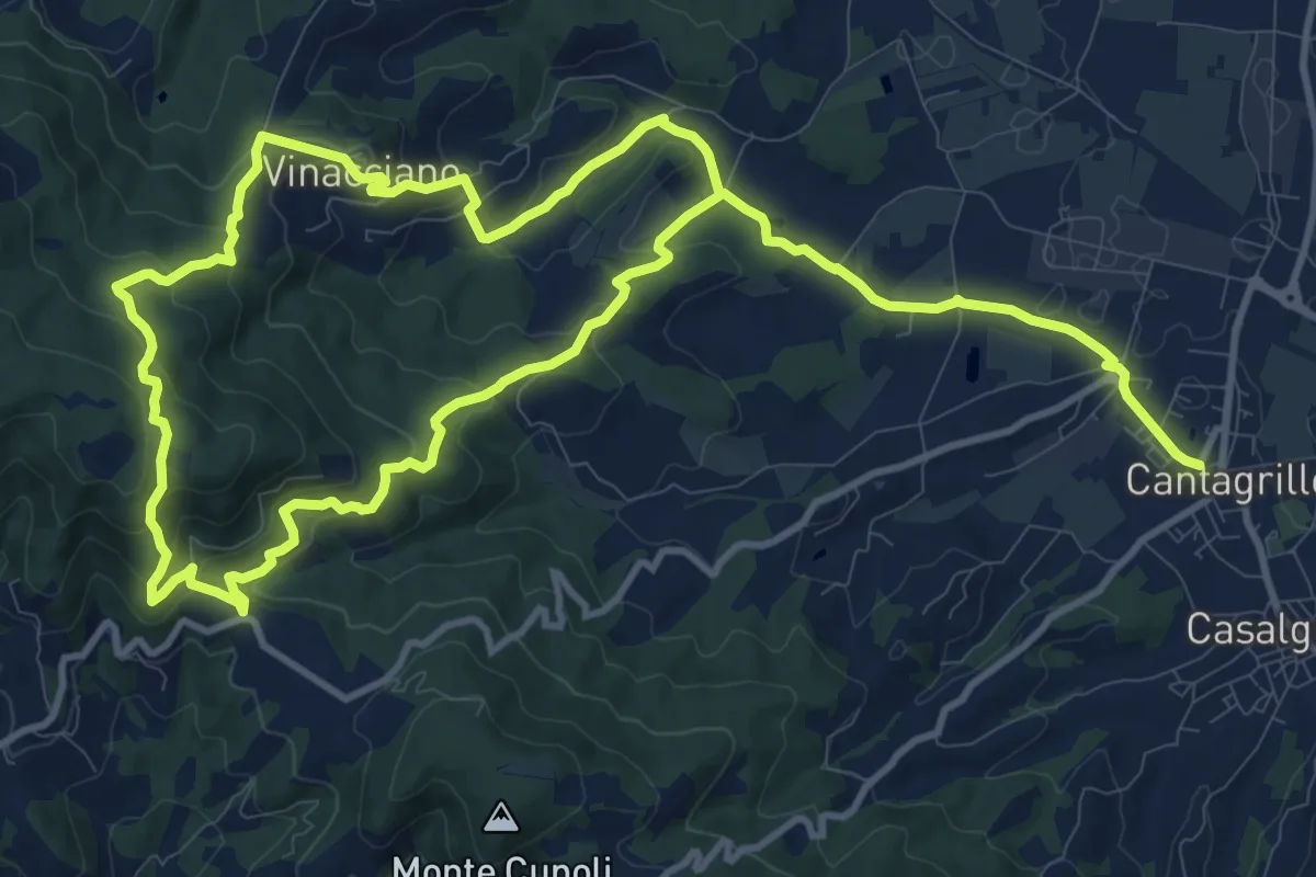
Medium · Trail
Cantagrillo – Cantagrillo
11.5 km · ↑ 463 m · 3 h 52 min · 15 km away
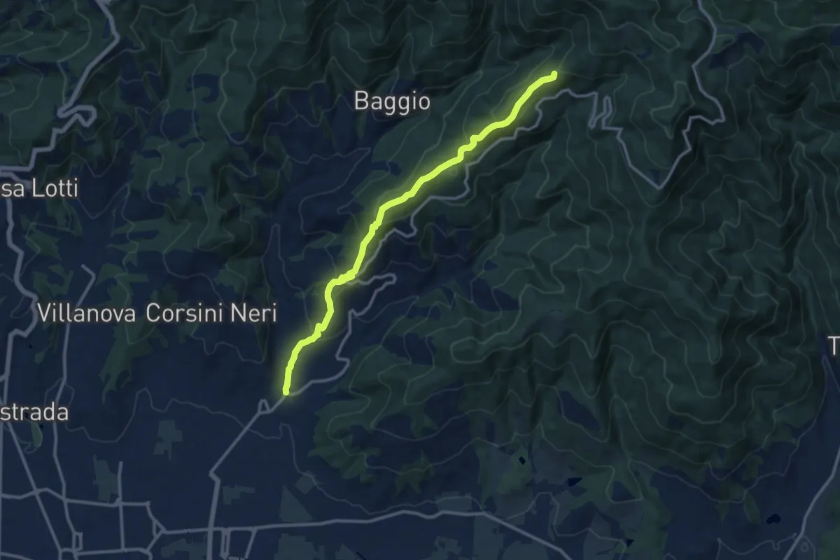
Medium · Summit
Candeglia – innesto sentiero 00
12.2 km · ↑ 685 m · 4 h 22 min · 15 km away
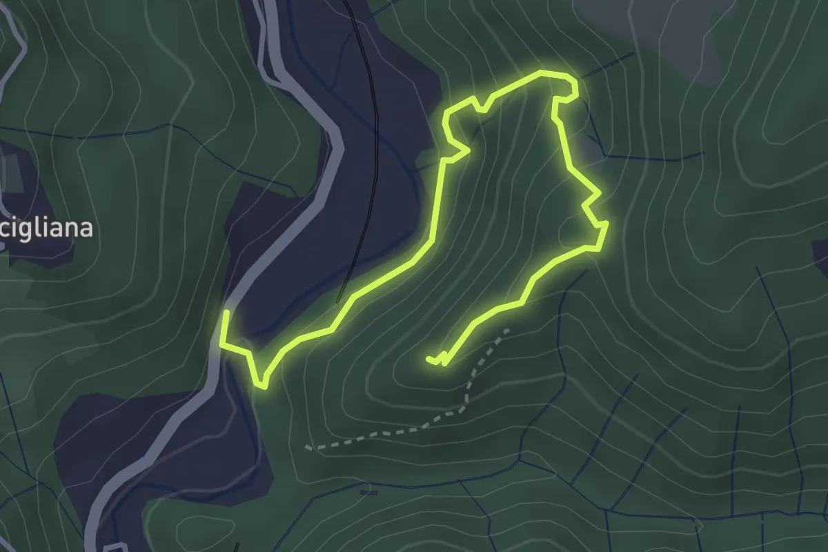
Medium · Trail
Sentiero di Dante
4.2 km · ↑ 343 m · 1 h 45 min · 15 km away
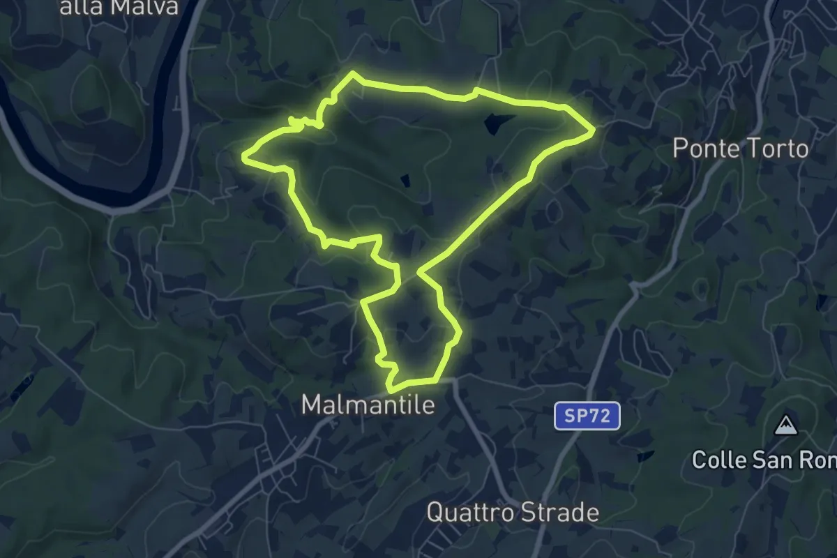
Easy · Summit
Anello di Lecceto
7.5 km · ↑ 199 m · 2 h 18 min · 15 km away
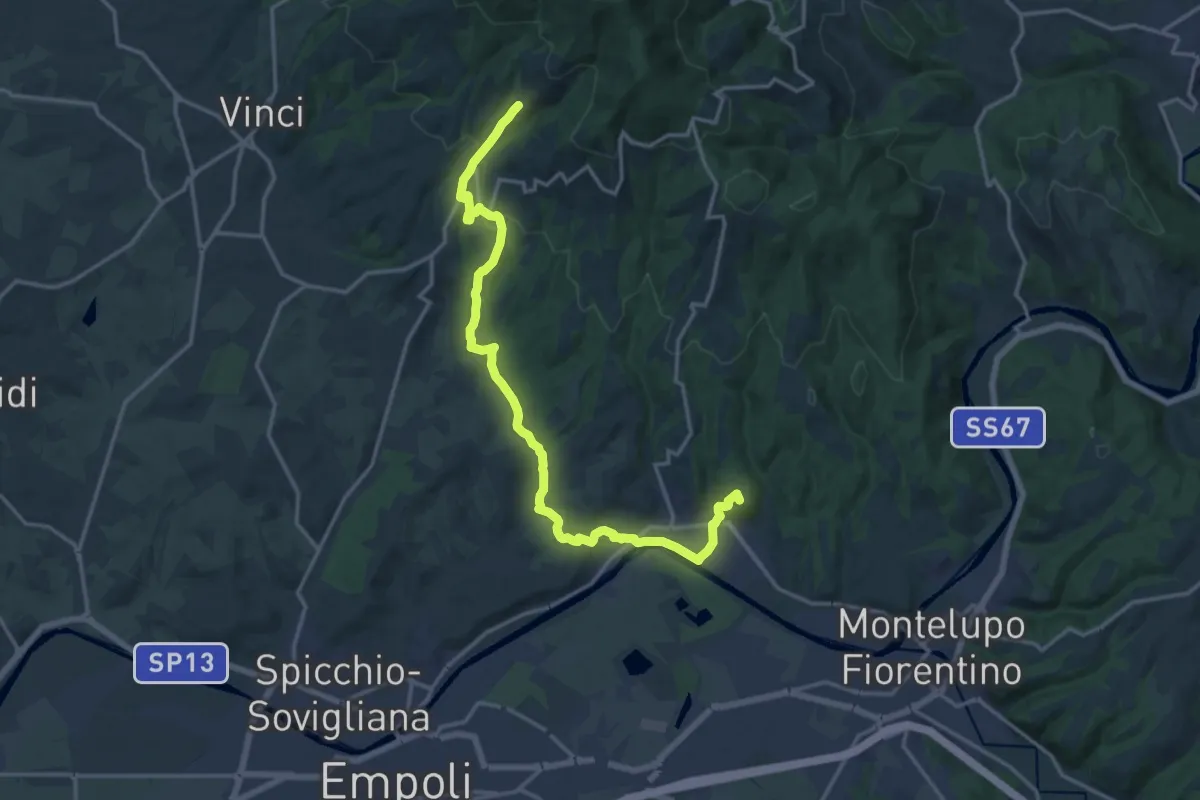
Demanding · Summit
Tappa 3 - Da Mignana a Montereggi
18.9 km · ↑ 516 m · 5 h 35 min · 15 km away
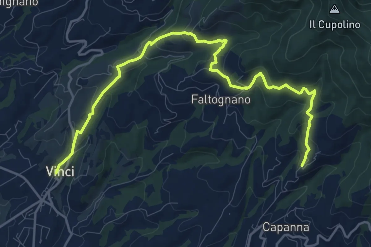
Medium · Trail
Tappa 2 - Da Vinci a Mignana
12.5 km · ↑ 512 m · 4 h 4 min · 15 km away