Trails near Quarrata
81 hikes starting within 15 km, nearest first.
Nearest first, page 1 of 2
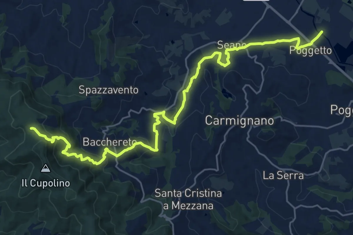
Demanding · Trail
Ponte a Tigliano – Torre Sant'Allluccio
22.0 km · ↑ 774 m · 6 h 52 min · 4 km away
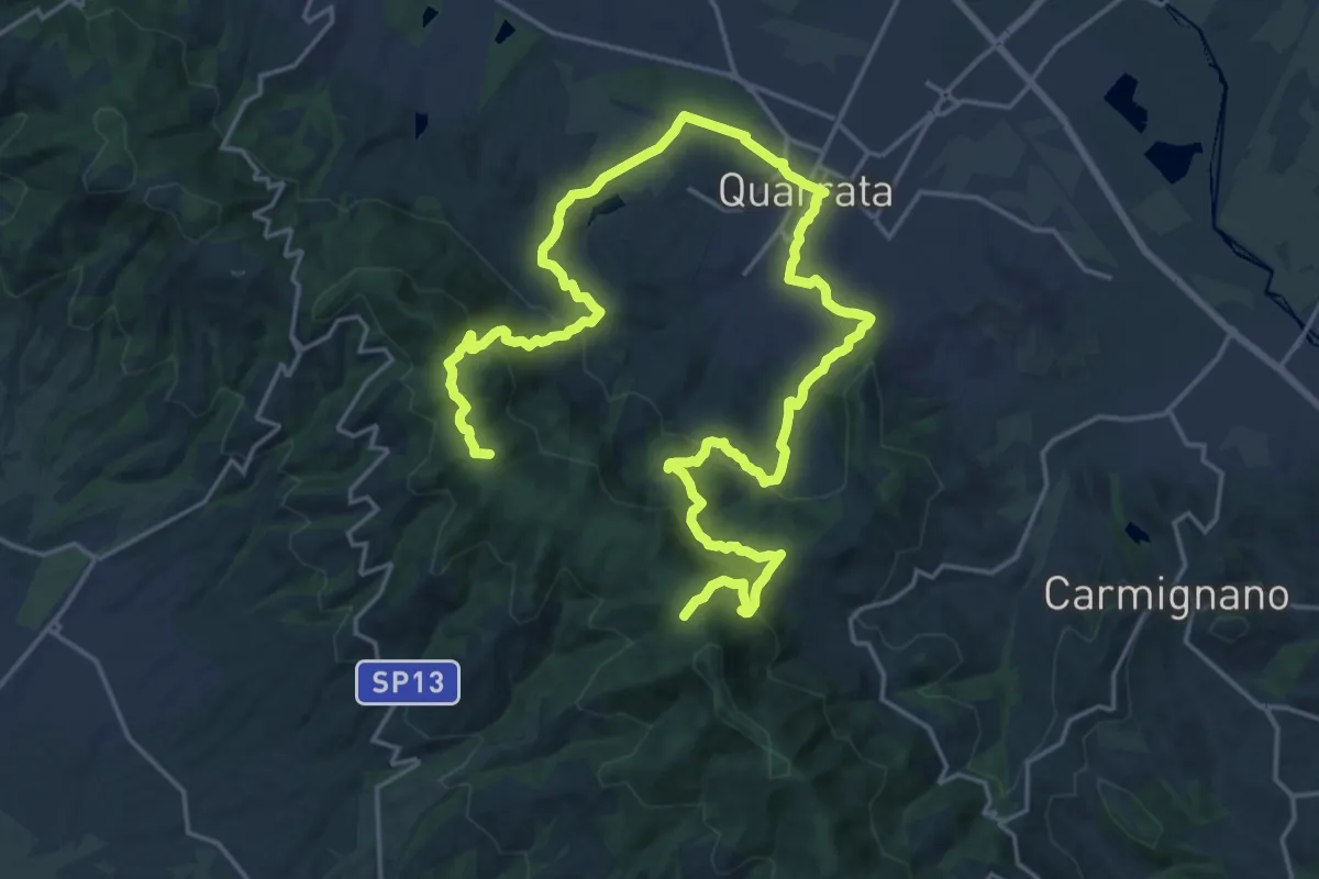
Demanding · Summit
Anello della Magia - Quarrata
32.0 km · ↑ 1351 m · 10 h 29 min · 4 km away
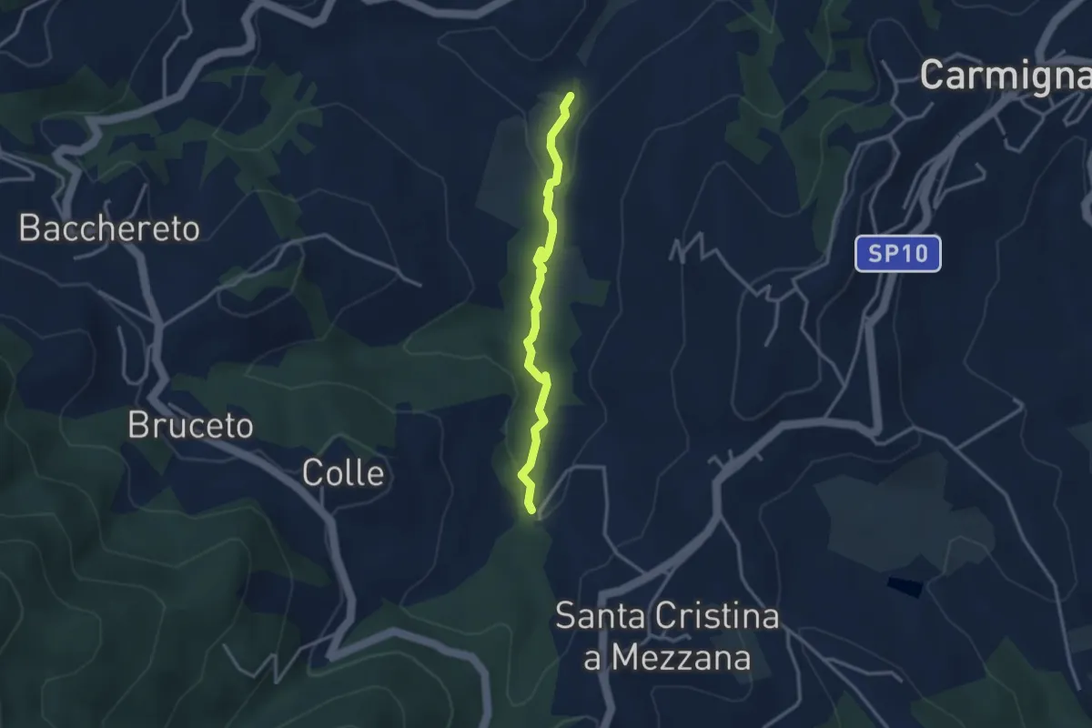
Easy · Trail
Fontanaccio – Il Mulino
2.9 km · ↑ 63 m · 50 min · 4 km away
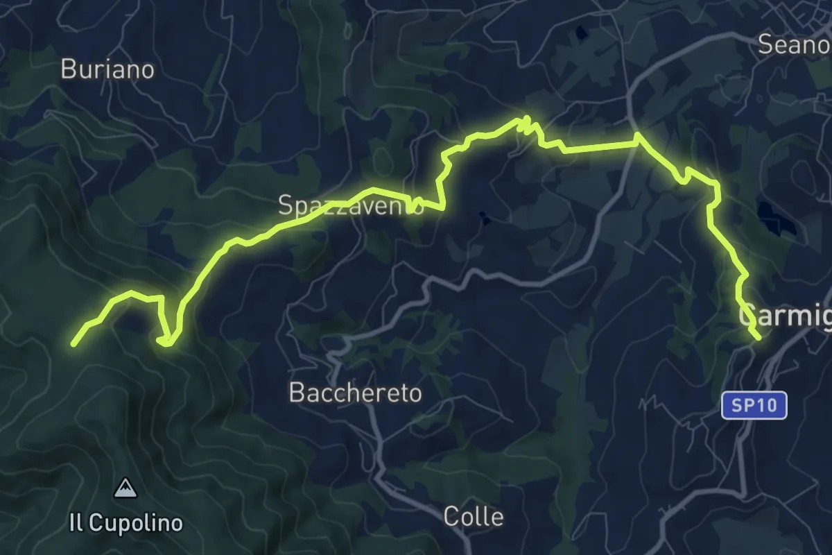
Medium · Trail
Carmignano San Michele – Torre di Sant'Alluccio
13.7 km · ↑ 699 m · 4 h 45 min · 5 km away
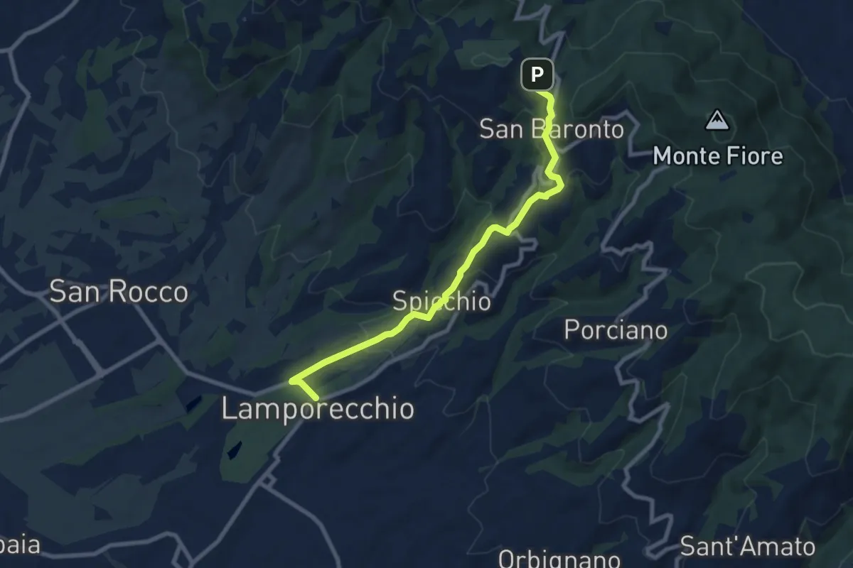
Medium · Trail
Lamporecchio – innesto sentiero 800
8.3 km · ↑ 305 m · 2 h 37 min · 5 km away
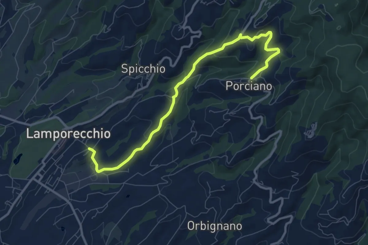
Medium · Trail
Lamporecchio – Porciano
9.1 km · ↑ 368 m · 2 h 56 min · 5 km away
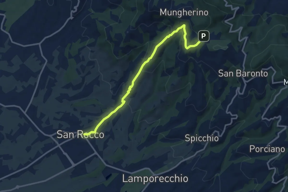
Medium · Trail
Larciano – innesto sentiero 800
8.6 km · ↑ 390 m · 2 h 53 min · 6 km away
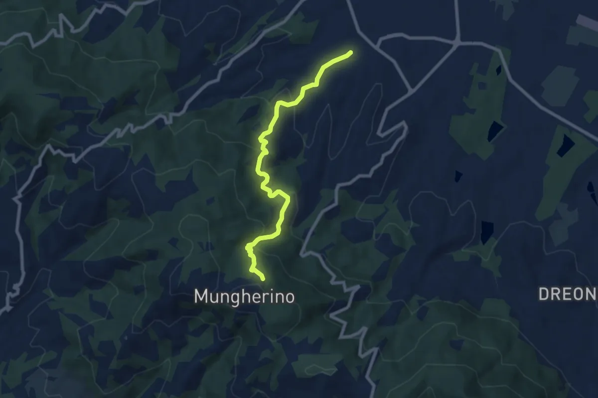
Medium · Trail
Casalguidi – innesto sentiero 800
7.1 km · ↑ 422 m · 2 h 36 min · 6 km away
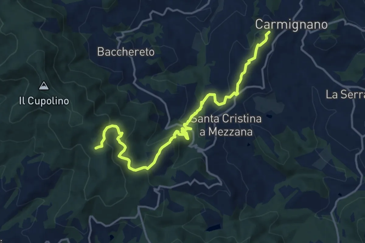
Medium · Trail
Carmignano – Pietramarina
12.7 km · ↑ 728 m · 4 h 34 min · 6 km away
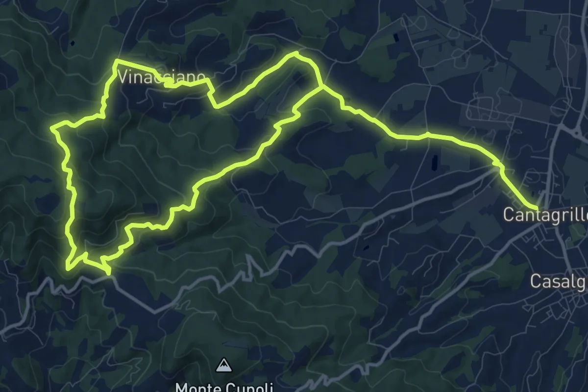
Medium · Trail
Cantagrillo – Cantagrillo
11.5 km · ↑ 463 m · 3 h 52 min · 6 km away
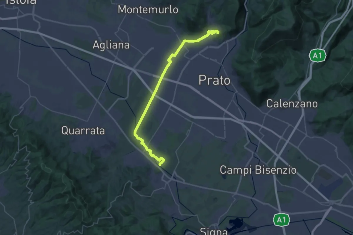
Demanding · Summit
Stazione Centrale Prato – Ponte Manetti - Cascine di Tavola
30.9 km · ↑ 147 m · 7 h 38 min · 6 km away
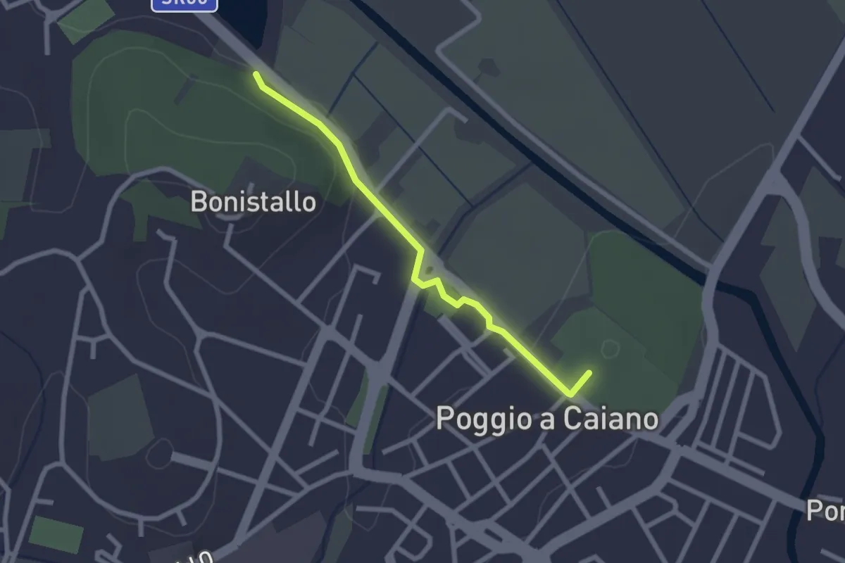
Easy · Trail
Poggio a Caiano – Bargo
2.3 km · ↑ 22 m · 35 min · 6 km away
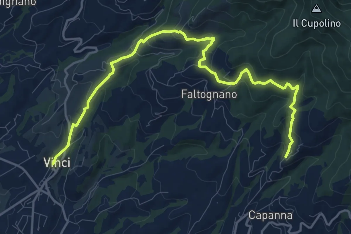
Medium · Trail
Tappa 2 - Da Vinci a Mignana
12.5 km · ↑ 512 m · 4 h 4 min · 7 km away
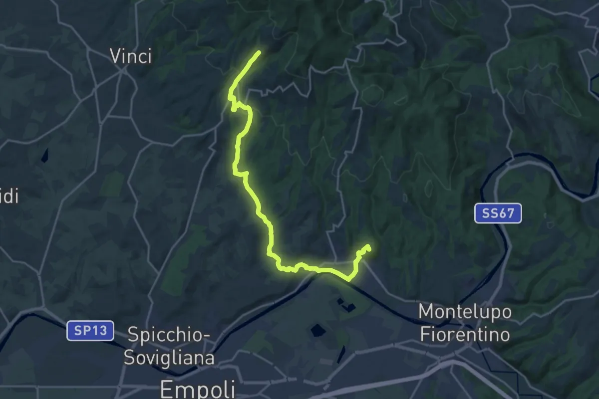
Demanding · Summit
Tappa 3 - Da Mignana a Montereggi
18.9 km · ↑ 516 m · 5 h 35 min · 7 km away
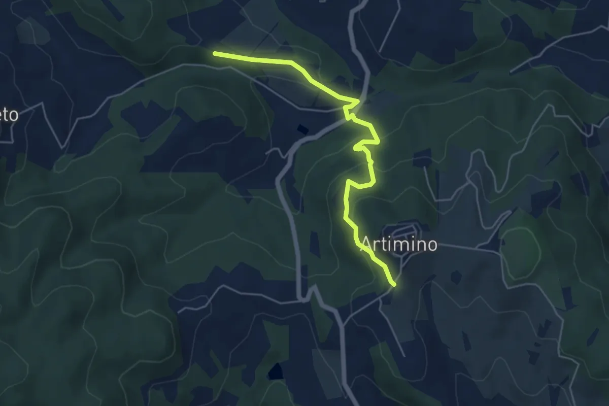
Easy · Trail
Podere Campisalti – Artimino
5.1 km · ↑ 232 m · 1 h 42 min · 7 km away
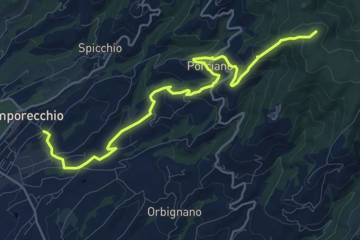
Medium · Summit
Lamporecchio – innesto sentiero 00
12.3 km · ↑ 546 m · 4 h 5 min · 7 km away
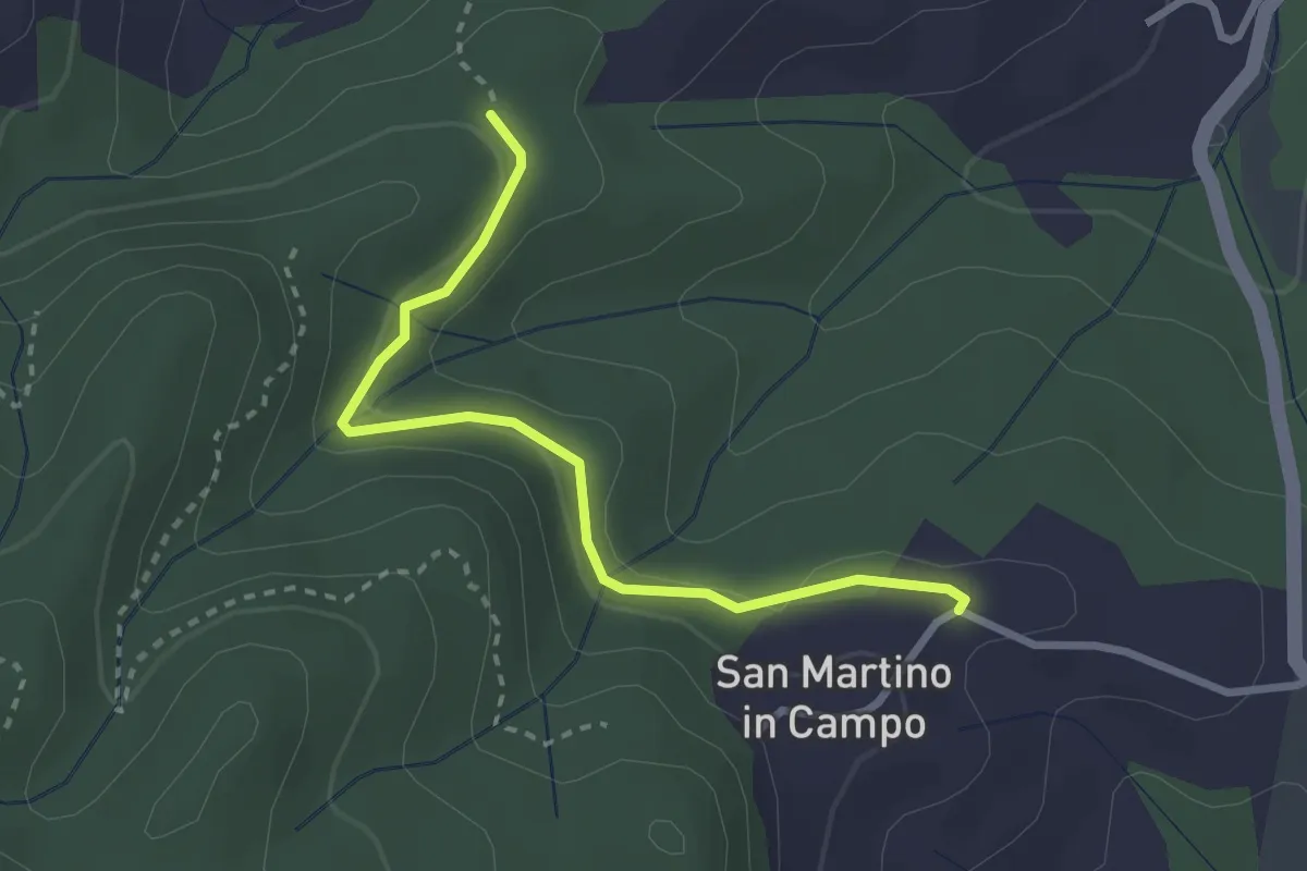
Easy · Trail
Caselli – Sotto San Martino
2.9 km · ↑ 71 m · 50 min · 7 km away
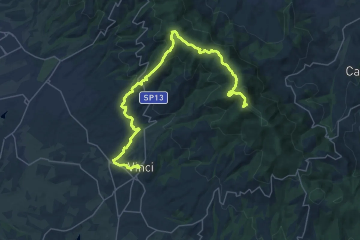
Demanding · Summit
Tappa 3: Bacchereto - Vinci
23.1 km · ↑ 847 m · 7 h 17 min · 8 km away
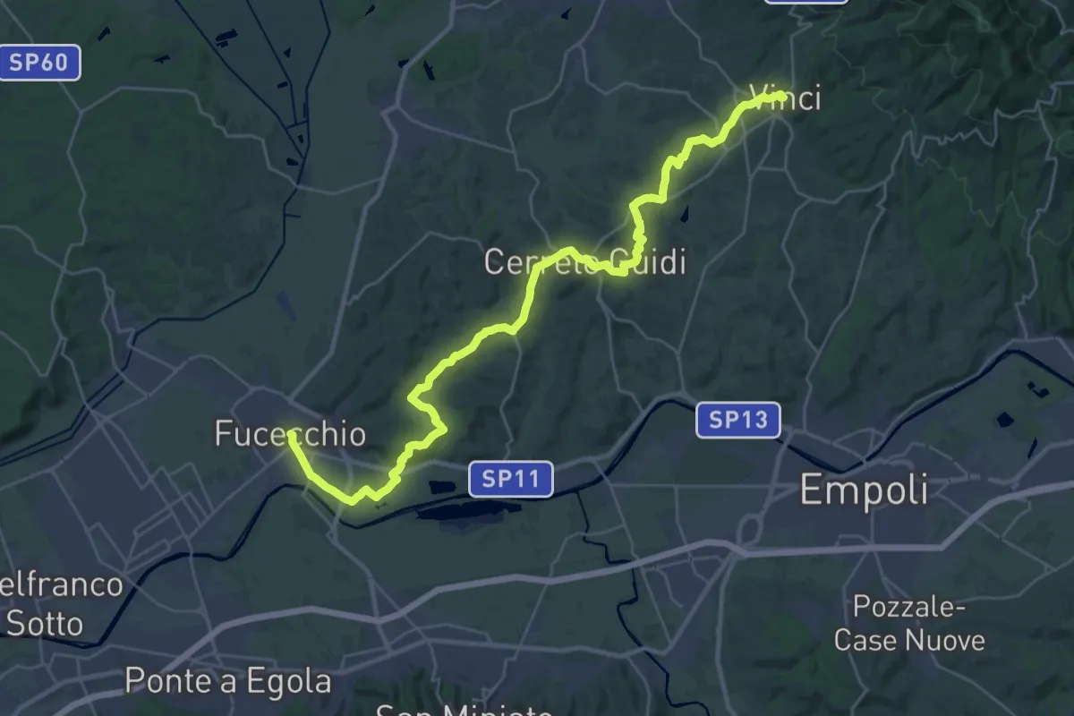
Medium · Trail
Tappa 4: Vinci - Fucecchio
17.7 km · ↑ 294 m · 5 h 5 min · 8 km away
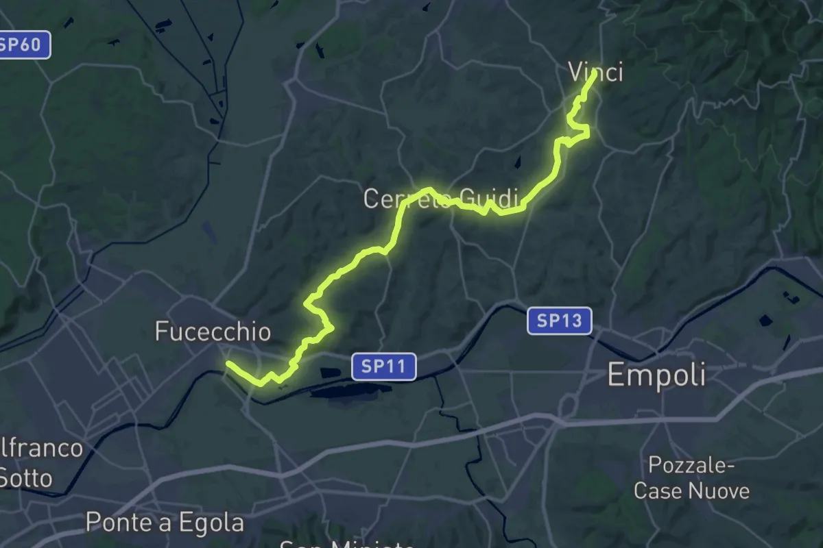
Medium · Trail
Tappa 1 - Da Fucecchio a Vinci
17.5 km · ↑ 243 m · 4 h 57 min · 8 km away
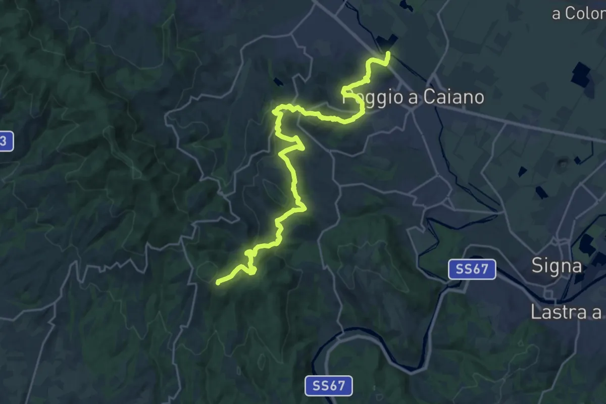
Medium · Trail
Cassa espansione Taglianico – Casenuove
12.8 km · ↑ 340 m · 4 h 7 min · 8 km away
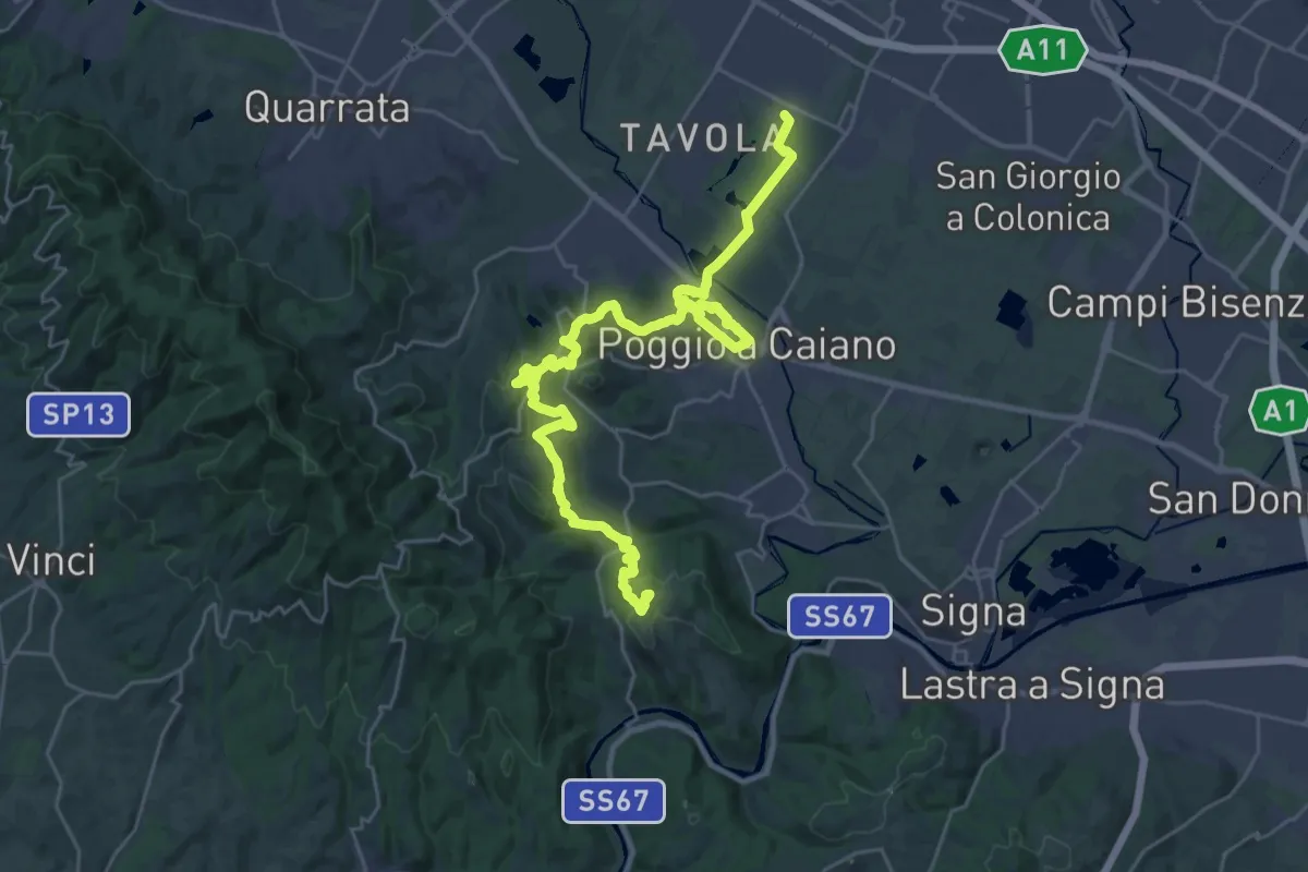
Medium · Trail
Tappa 1: Prato - Artimino
17.8 km · ↑ 389 m · 5 h 24 min · 9 km away
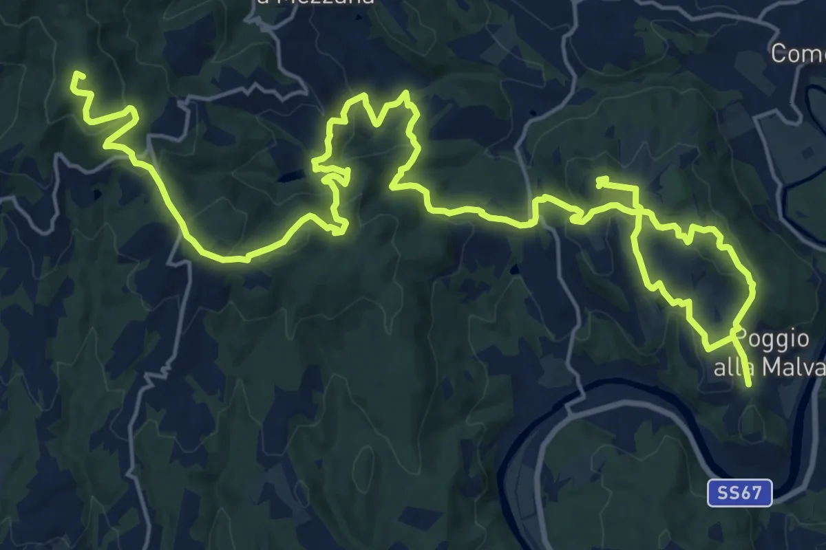
Demanding · Summit
Tappa 2: Artimino - Bacchereto
33.2 km · ↑ 1329 m · 10 h 43 min · 9 km away
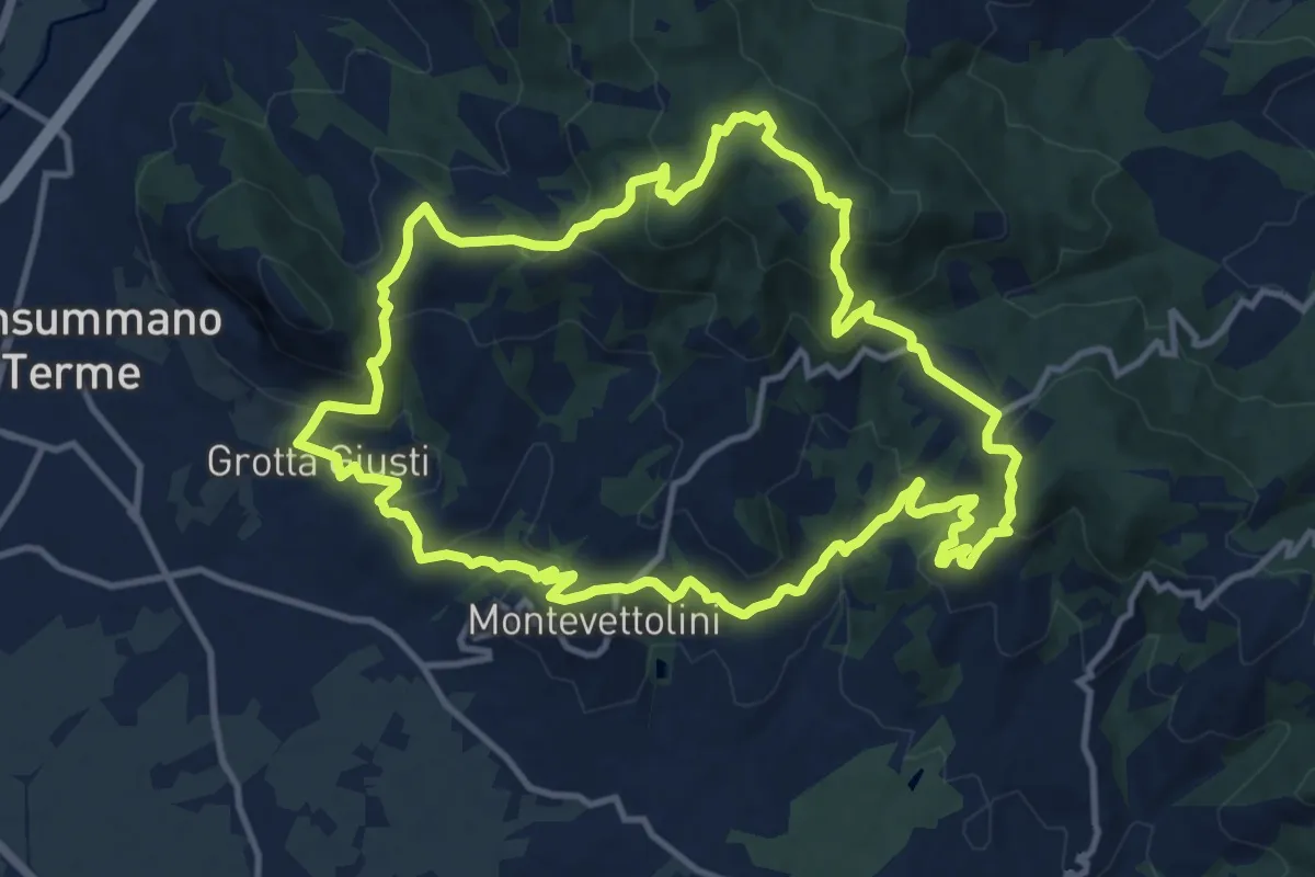
Medium · Trail
Monsummano – Monsummano
13.2 km · ↑ 628 m · 4 h 40 min · 9 km away
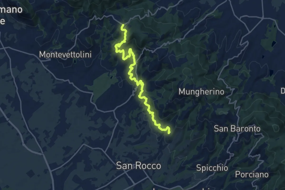
Medium · Trail
Larciano Castello – innesto sentiero 800
15.2 km · ↑ 612 m · 4 h 54 min · 9 km away
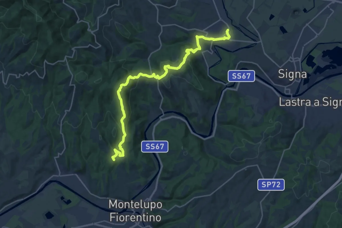
Demanding · Summit
Tappa 4 - Da Montereggi a Comeana
21.9 km · ↑ 781 m · 6 h 52 min · 9 km away
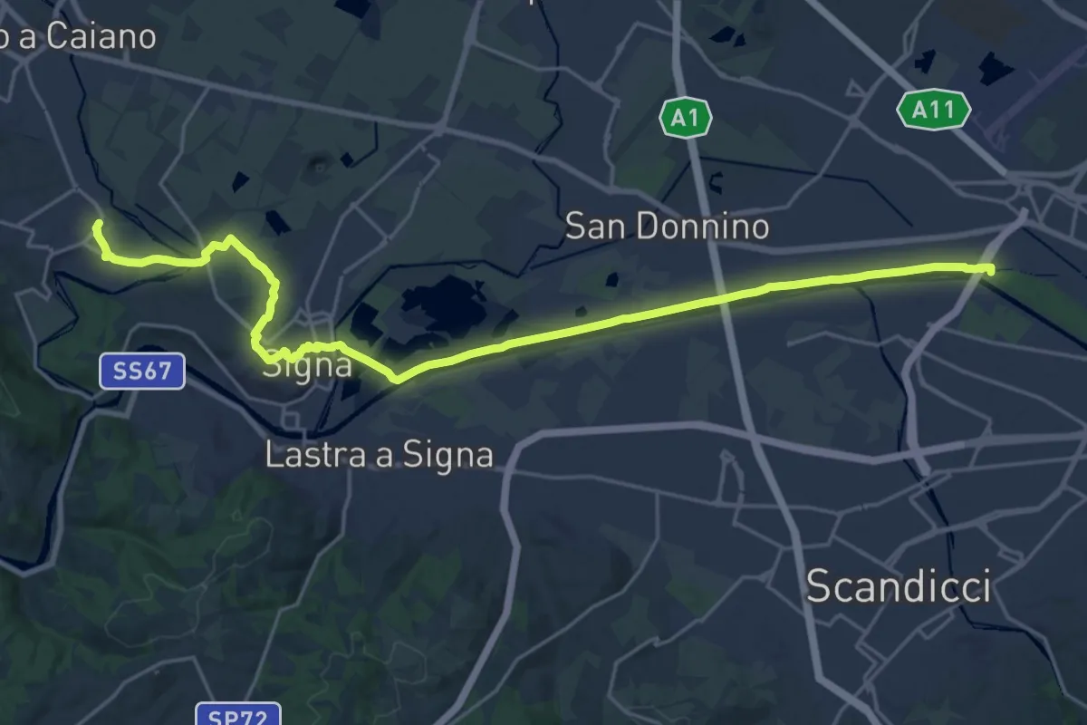
Demanding · Trail
Tappa 5 - Da Comeana a Firenze
26.8 km · ↑ 177 m · 6 h 42 min · 9 km away
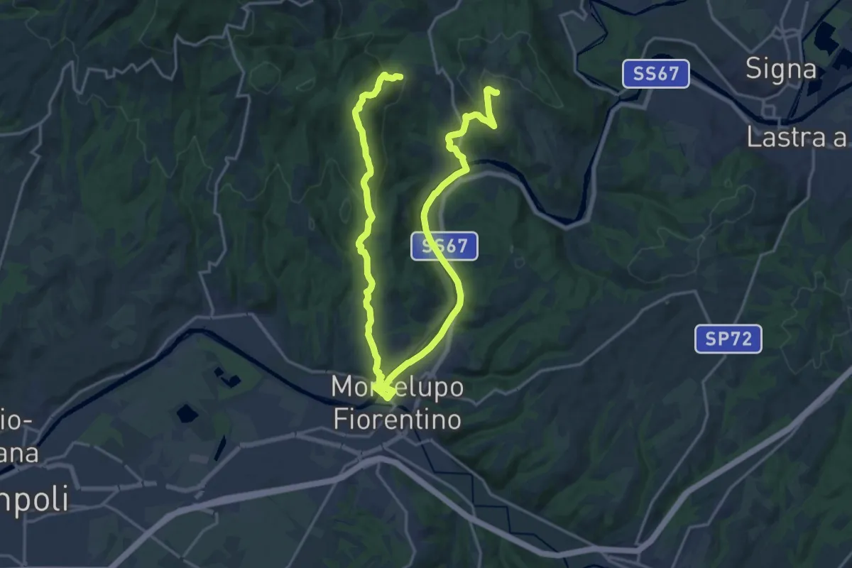
Demanding · Trail
Anello di Capraia e Montelupo
26.9 km · ↑ 586 m · 7 h 37 min · 9 km away
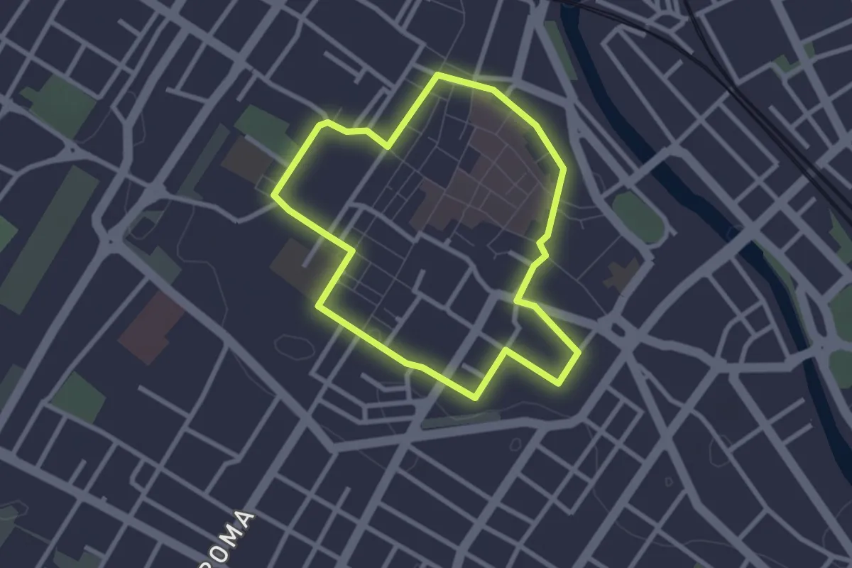
Easy · Trail
Capire la città
2.5 km · ↑ 8 m · 38 min · 10 km away
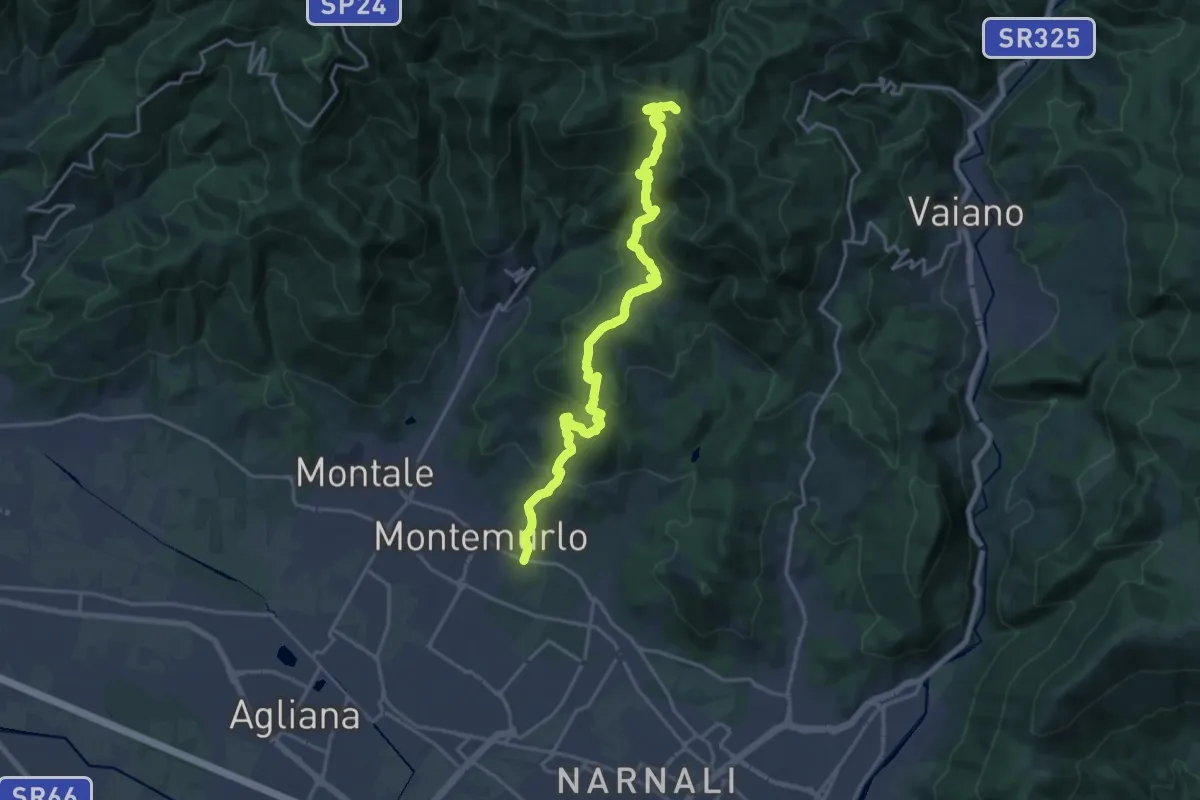
Demanding · Trail
Montemurlo (PO) – Le Cavallaie (PO)
20.8 km · ↑ 1015 m · 7 h 7 min · 10 km away
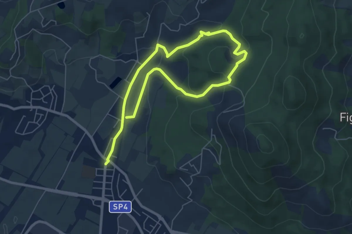
Easy · Trail
Cammino dell'Acqua - Torrente Bagnolo
4.6 km · ↑ 151 m · 1 h 29 min · 10 km away
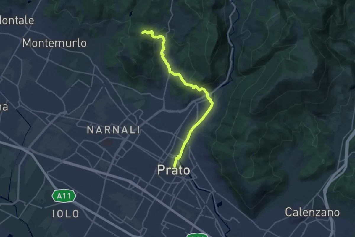
Medium · Summit
Il Cammino di San Jacopo - Tappa 2
17.4 km · ↑ 500 m · 5 h 11 min · 10 km away
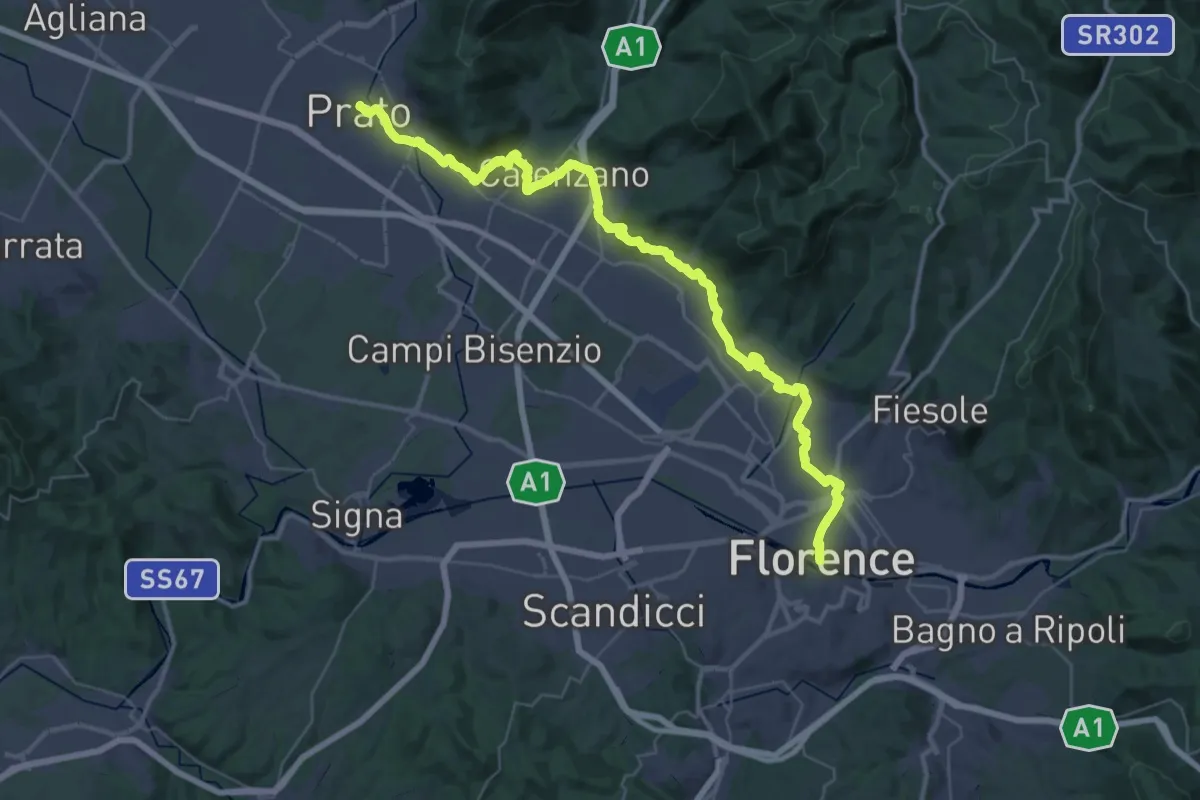
Demanding · Trail
Il Cammino di San Jacopo - Tappa 1
26.9 km · ↑ 437 m · 7 h 40 min · 10 km away
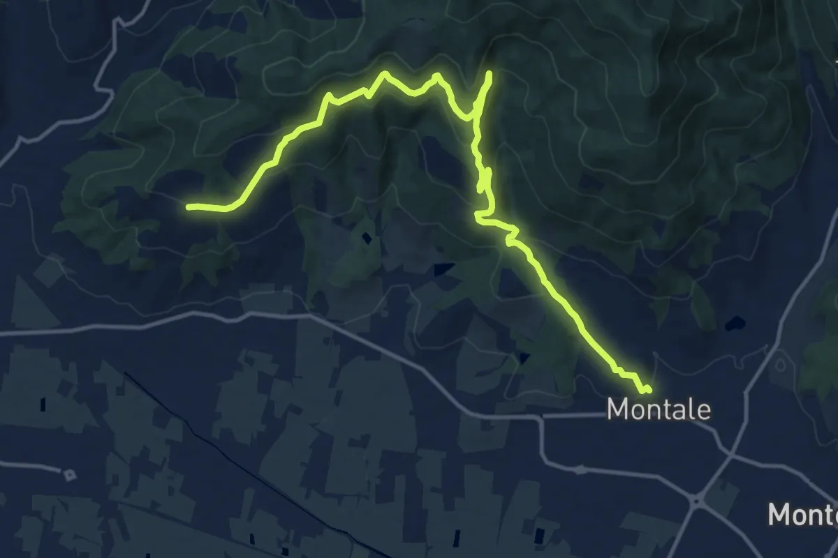
Medium · Trail
Montale Alto – San Quirico
16.4 km · ↑ 662 m · 5 h 18 min · 10 km away
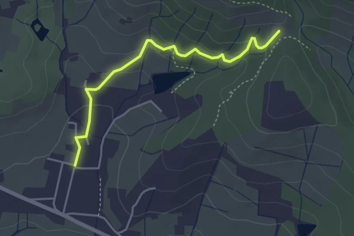
Easy · Trail
Santomato – Innesto sentiero 220
3.6 km · ↑ 139 m · 1 h 9 min · 11 km away
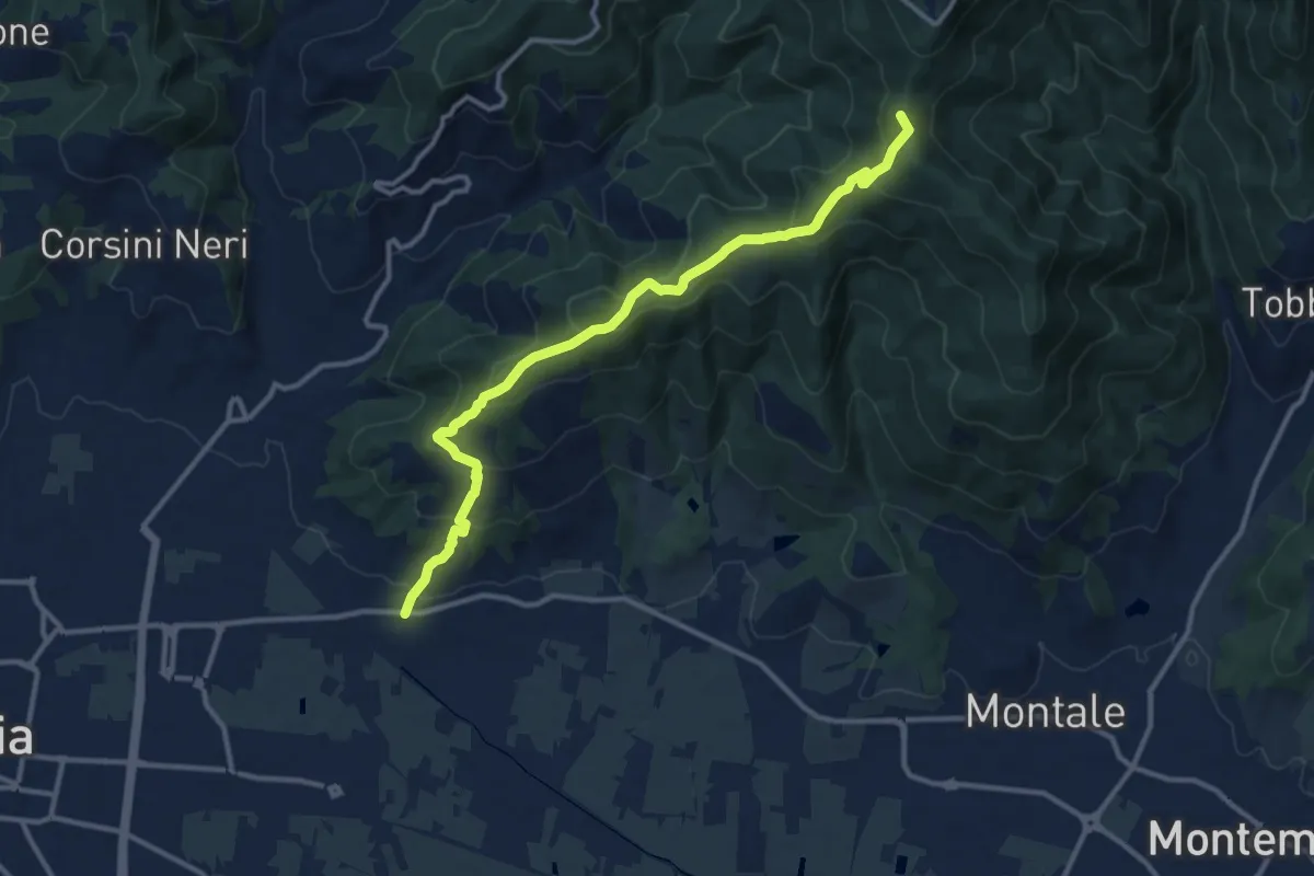
Medium · Summit
Pontenuovo – innesto sentiero 234
12.8 km · ↑ 731 m · 4 h 37 min · 11 km away
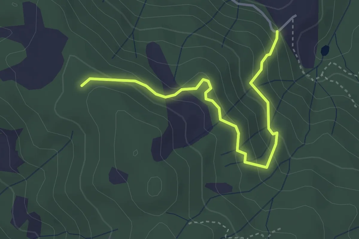
Easy · Trail
Montalto innesto sentiero 821 – innesto sentiero 800
3.7 km · ↑ 215 m · 1 h 21 min · 11 km away
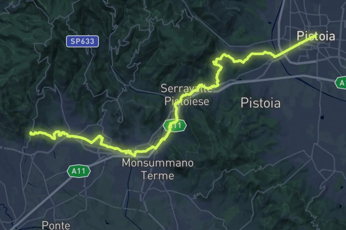
Demanding · Summit
Il Cammino di San Jacopo - Tappa 3
48.0 km · ↑ 989 m · 13 h 29 min · 11 km away
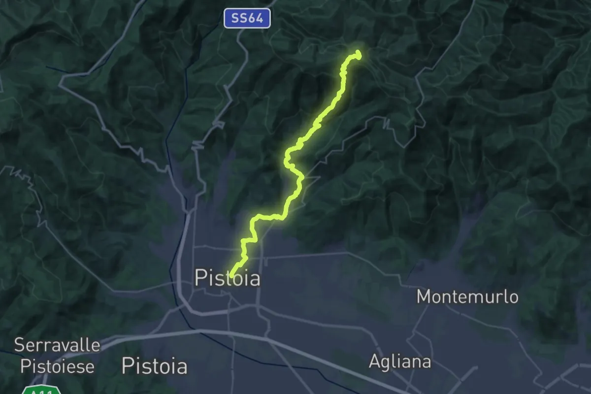
Demanding · Summit
Cammino di San Bartolomeo - TAPPA Spedaletto -Pistoia
29.3 km · ↑ 1358 m · 9 h 51 min · 11 km away
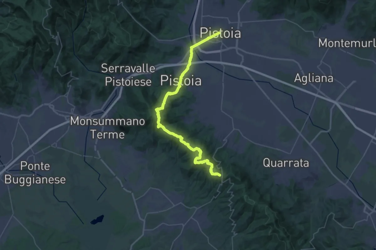
Demanding · Trail
Via Romea Nonantolana e Via della Sambuca: Tappa 7
18.7 km · ↑ 728 m · 6 h 7 min · 11 km away
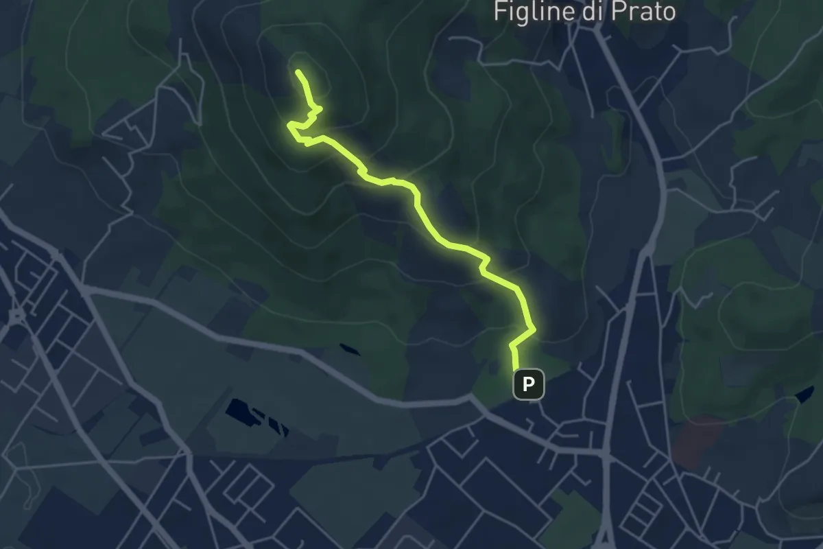
Medium · Summit
Galceti – Passo della Collina
4.4 km · ↑ 339 m · 1 h 47 min · 11 km away
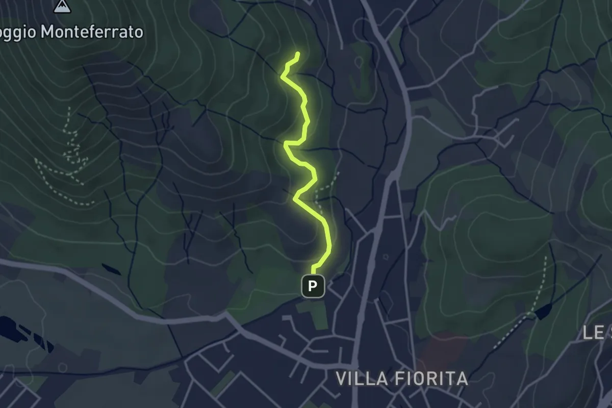
Easy · Trail
Sentiero Aurora (Piero Sambrotta)
2.7 km · ↑ 117 m · 54 min · 11 km away
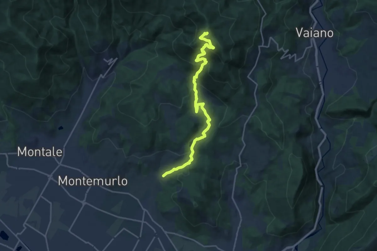
Demanding · Trail
Cascata Bagnolo – Monte Faggi di Javello
16.1 km · ↑ 1029 m · 6 h 2 min · 11 km away
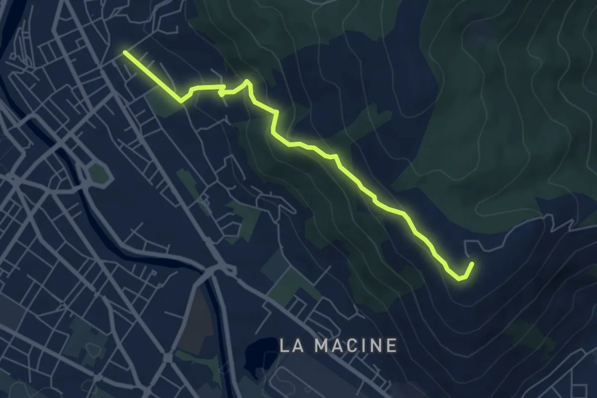
Medium · Summit
Prato (località Cappuccini) – poggio Castiglione
6.1 km · ↑ 326 m · 2 h 10 min · 11 km away
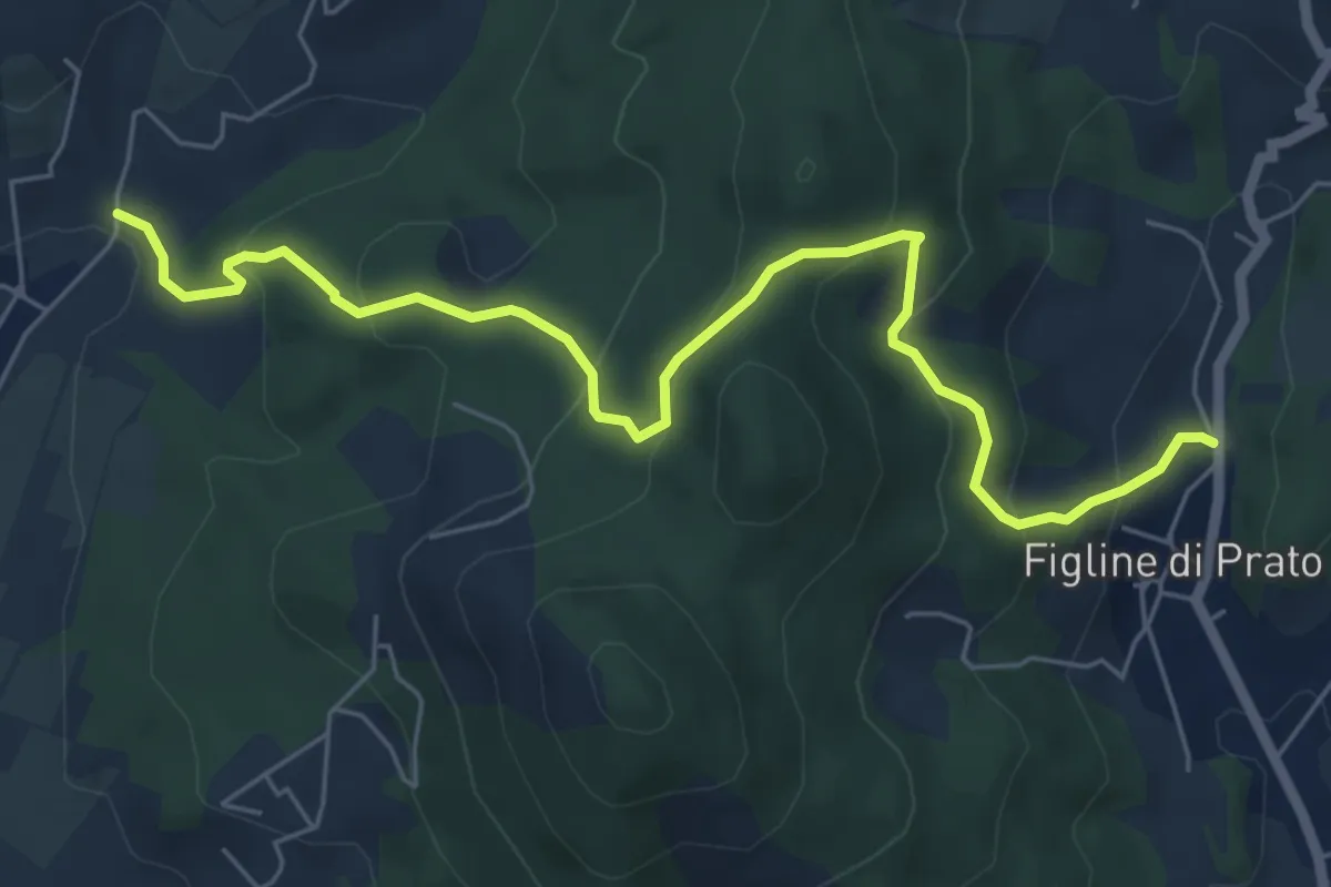
Medium · Trail
Bagnolo di Sopra – Figline Pian di Gello
7.2 km · ↑ 437 m · 2 h 38 min · 11 km away
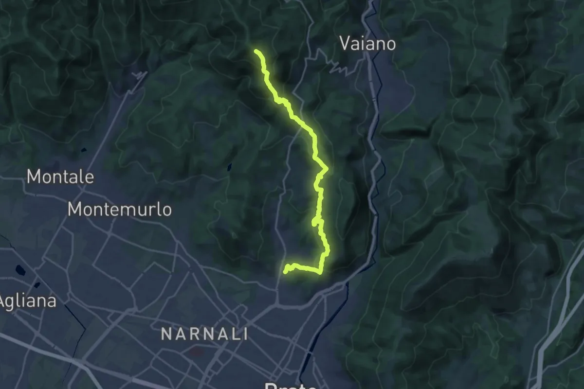
Demanding · Summit
Tramonto di un'Alba
19.9 km · ↑ 1090 m · 7 h 4 min · 12 km away
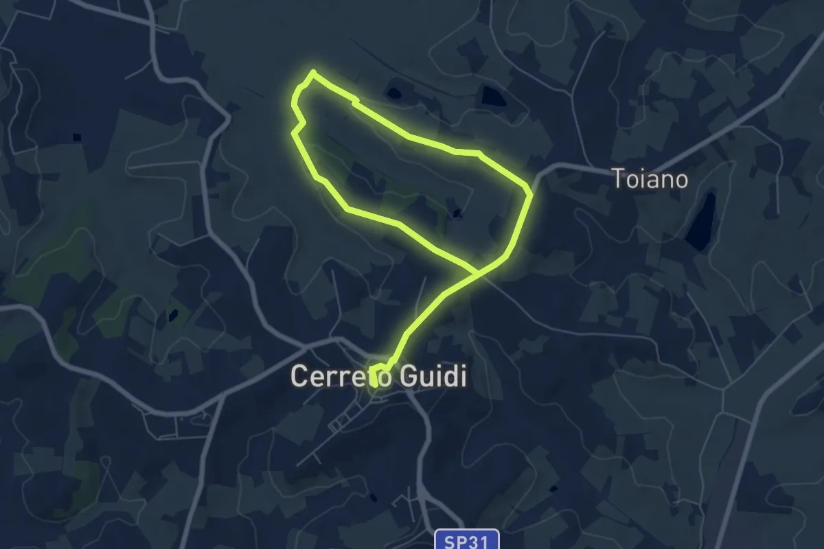
Easy · Trail
Anello mediceo 6 - Sommiano
5.0 km · ↑ 88 m · 1 h 26 min · 12 km away
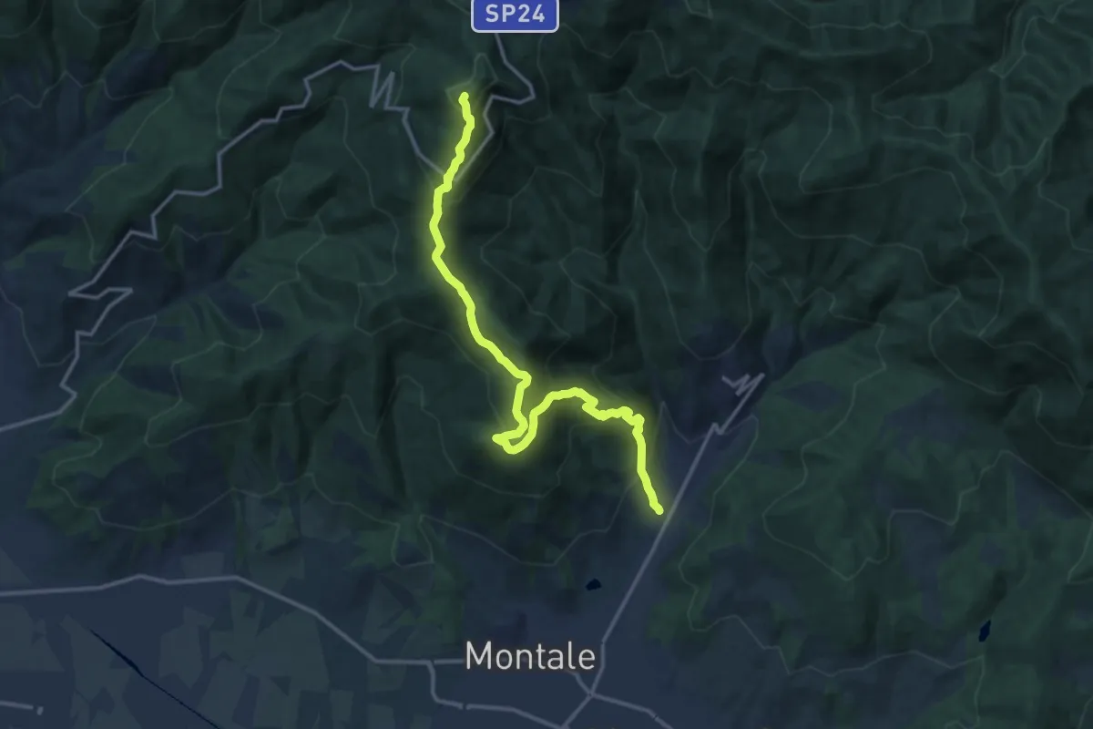
Demanding · Summit
Fognano – Poggio dei Ronchi
15.8 km · ↑ 1039 m · 5 h 59 min · 12 km away