Trails near Quarrata
81 hikes starting within 15 km, nearest first.
Nearest first, page 2 of 2
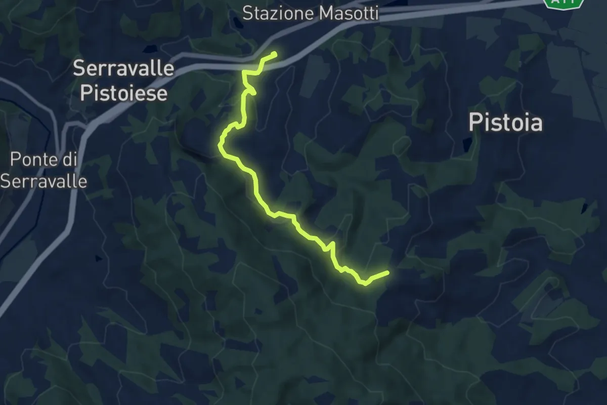
Medium · Trail
Stazione Masotti FFSS – innesto sentiero 817
8.4 km · ↑ 309 m · 2 h 39 min · 12 km away
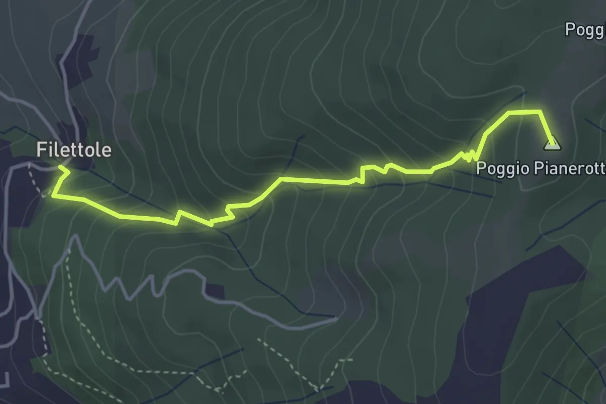
Medium · Summit
Filettole – Via di Travalle
4.1 km · ↑ 363 m · 1 h 45 min · 12 km away
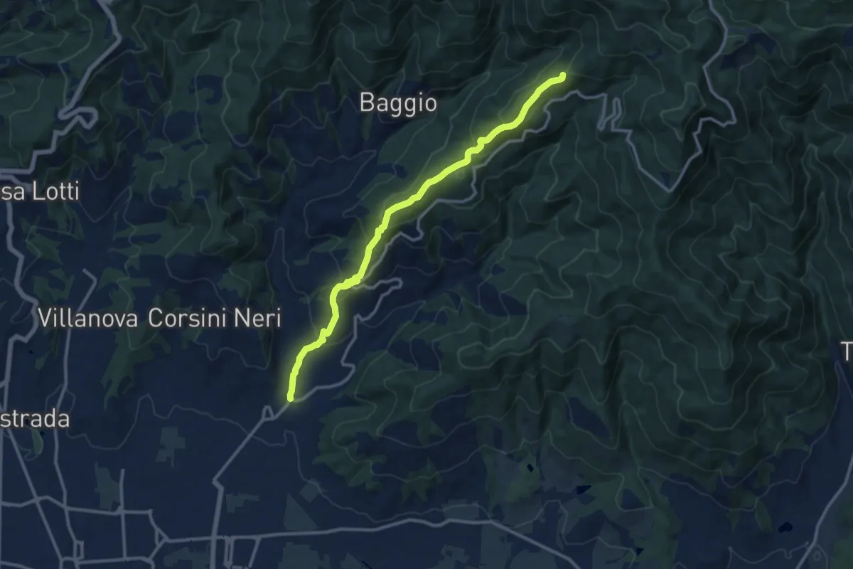
Medium · Summit
Candeglia – innesto sentiero 00
12.2 km · ↑ 685 m · 4 h 22 min · 12 km away
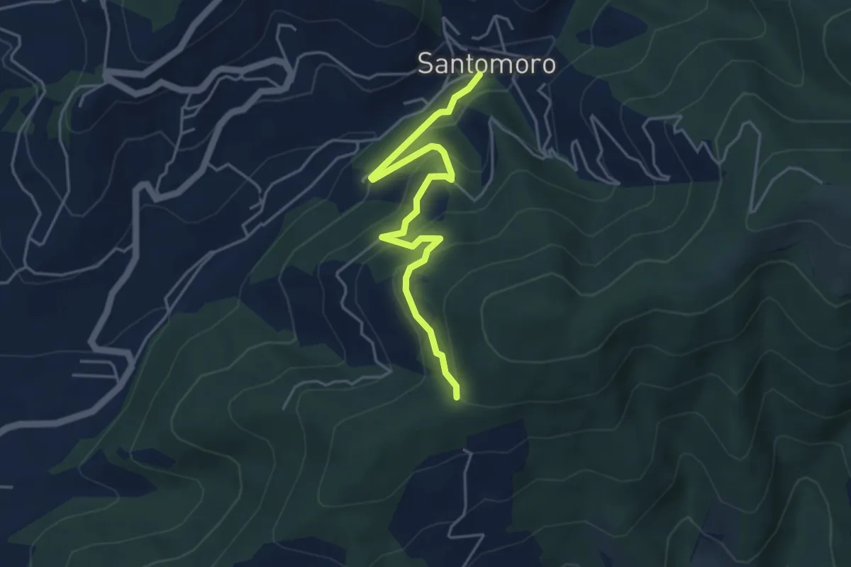
Easy · Trail
Santomoro – innesto sentiero 202
4.7 km · ↑ 270 m · 1 h 41 min · 12 km away
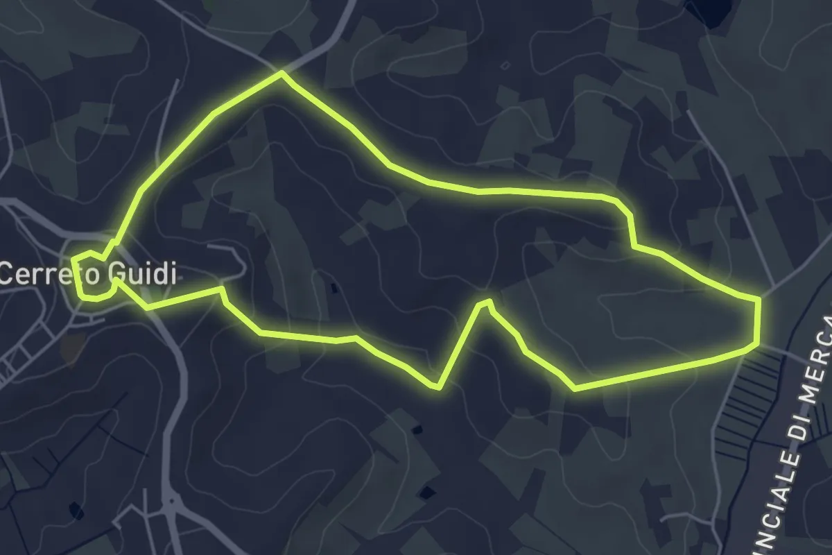
Easy · Trail
Anello mediceo 5 - Callaiola
5.4 km · ↑ 127 m · 1 h 38 min · 13 km away
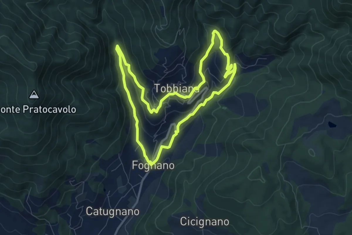
Medium · Trail
La Via delle Agne
8.2 km · ↑ 296 m · 2 h 42 min · 13 km away
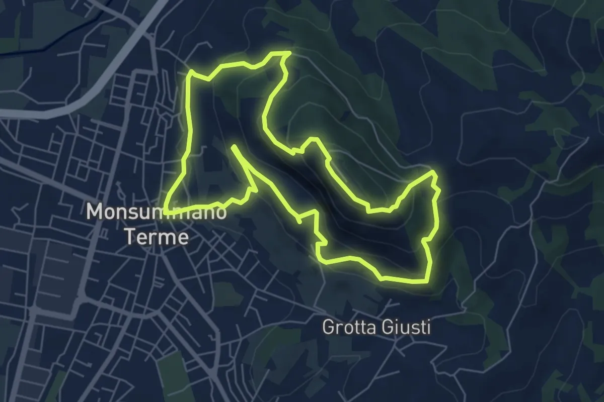
Medium · Summit
Monsummano Terme – Monsummano Terme
6.4 km · ↑ 359 m · 2 h 23 min · 13 km away
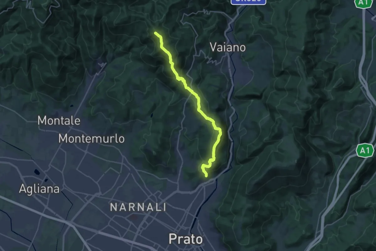
Demanding · Summit
sentiero Malaparte – Passo degli Acquiputoli
20.7 km · ↑ 1059 m · 7 h 11 min · 13 km away
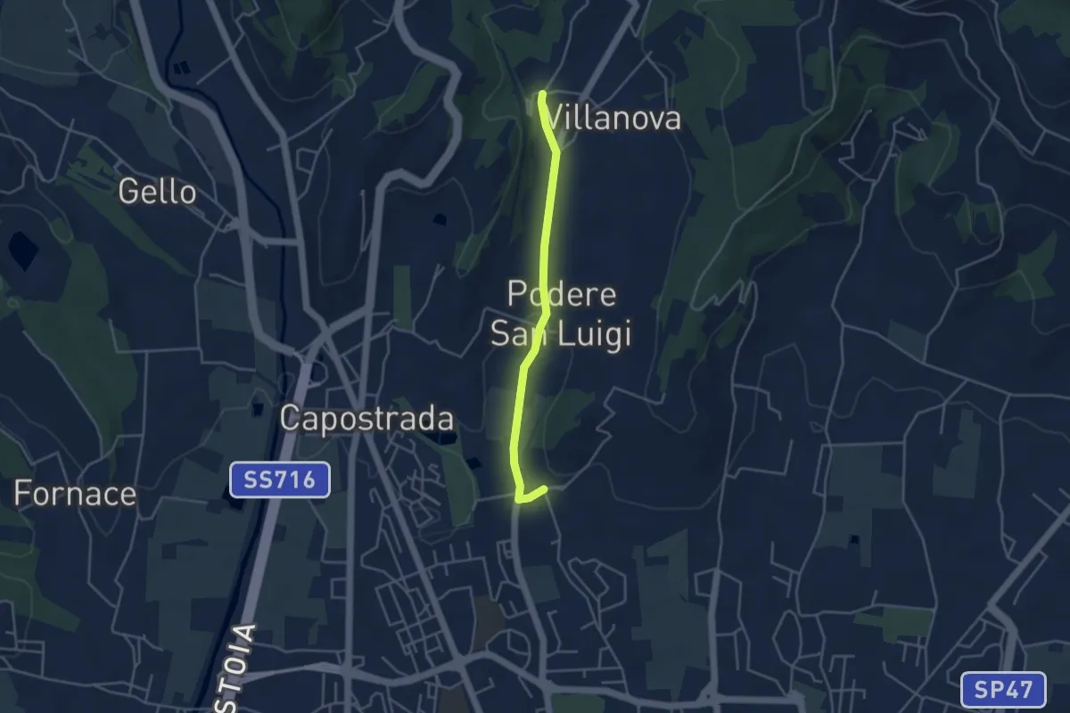
Easy · Pilgrim path
Via Francesca della Sambuca BO-PT: Percorso diretto Via Valdibrana
1.9 km · ↑ 36 m · 32 min · 13 km away
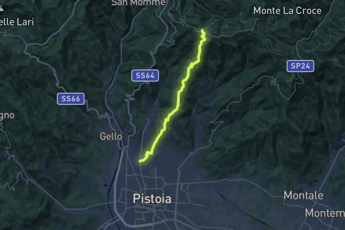
Demanding · Trail
Via delle Gaine - (Pistoia) – innesto sentiero 00
18.7 km · ↑ 959 m · 6 h 30 min · 13 km away
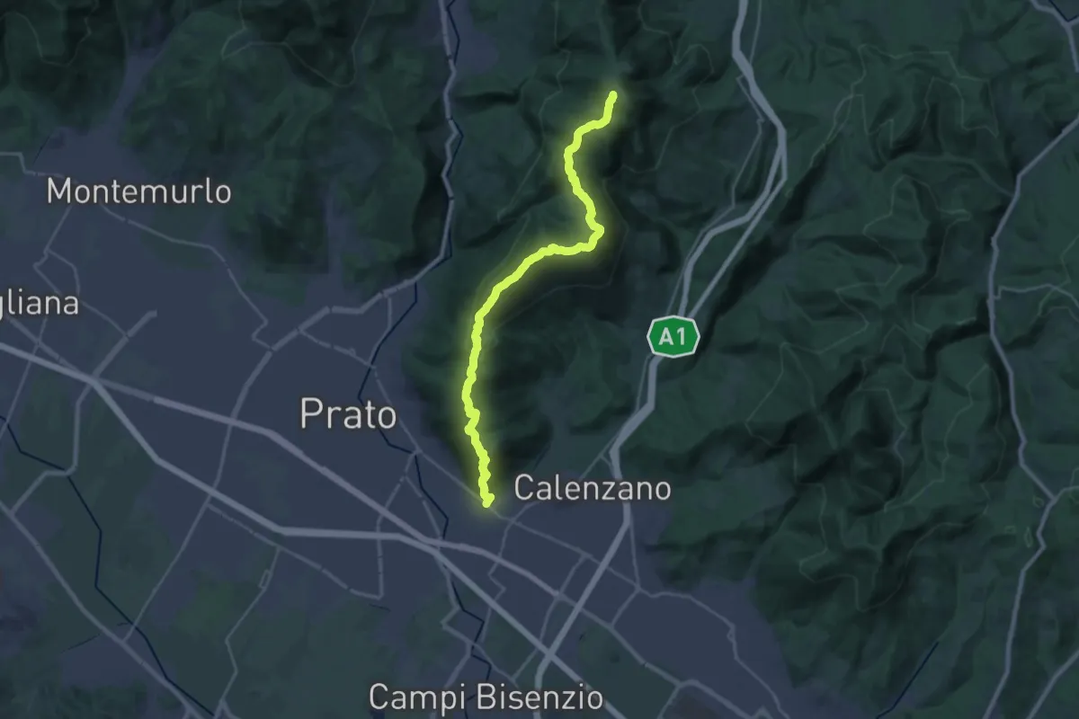
Demanding · Summit
La Querce – Poggio ai Prati (sentiero 00)
26.9 km · ↑ 1335 m · 9 h 15 min · 13 km away
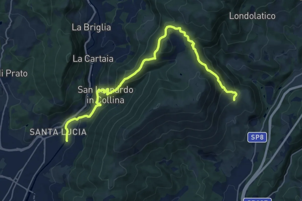
Demanding · Summit
Passerella S. Lucia – Carraia
19.5 km · ↑ 984 m · 6 h 44 min · 13 km away
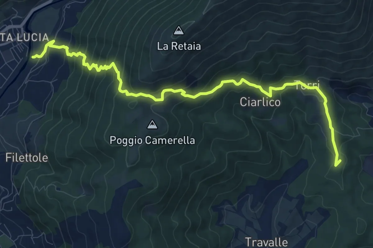
Demanding · Summit
Passerella S. Lucia – Travalle
13.6 km · ↑ 944 m · 5 h 15 min · 13 km away
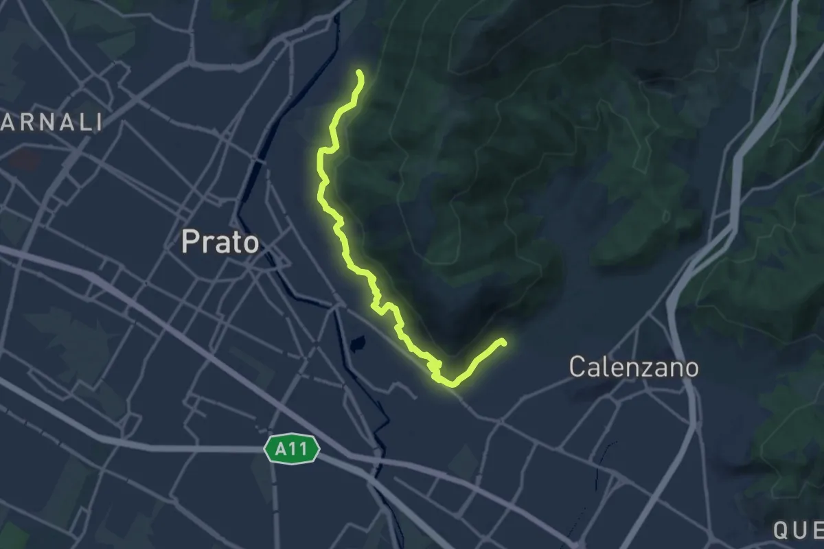
Medium · Trail
Percorso pedecollinare
15.0 km · ↑ 490 m · 4 h 36 min · 13 km away
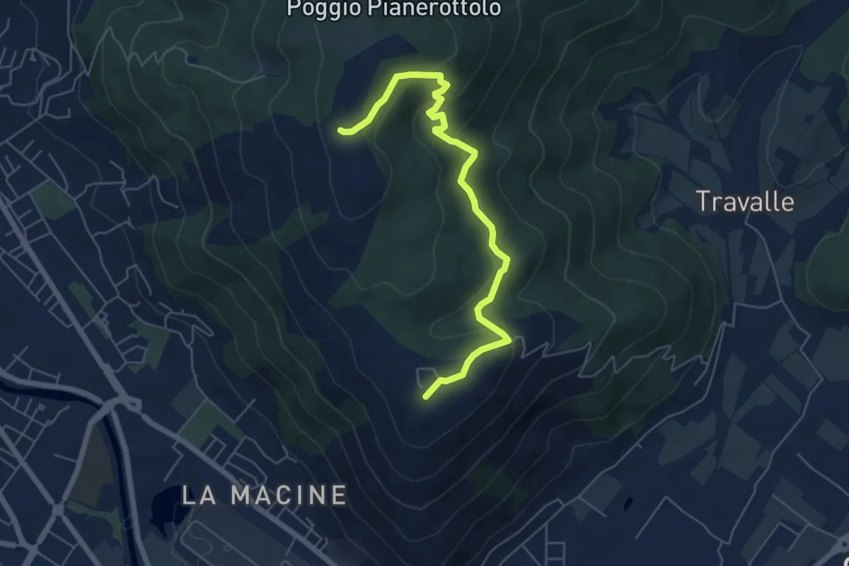
Easy · Summit
Case Castiglione – Casa Rossa
6.2 km · ↑ 273 m · 2 h 3 min · 13 km away
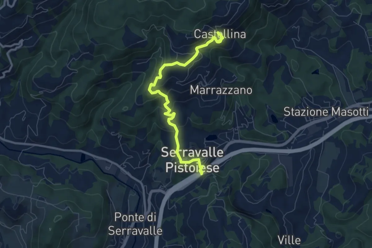
Medium · Trail
Passo Serravalle Pistoiese – Castellina
7.8 km · ↑ 370 m · 2 h 38 min · 13 km away
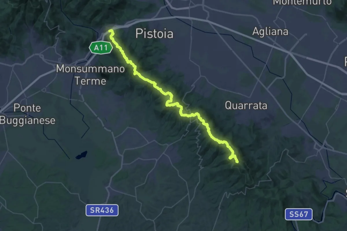
Demanding · Summit
Parcheggio via Buricchi La Malvax Stazione di Carmignano – Serravalle Pistoiese
44.8 km · ↑ 1705 m · 14 h 16 min · 13 km away
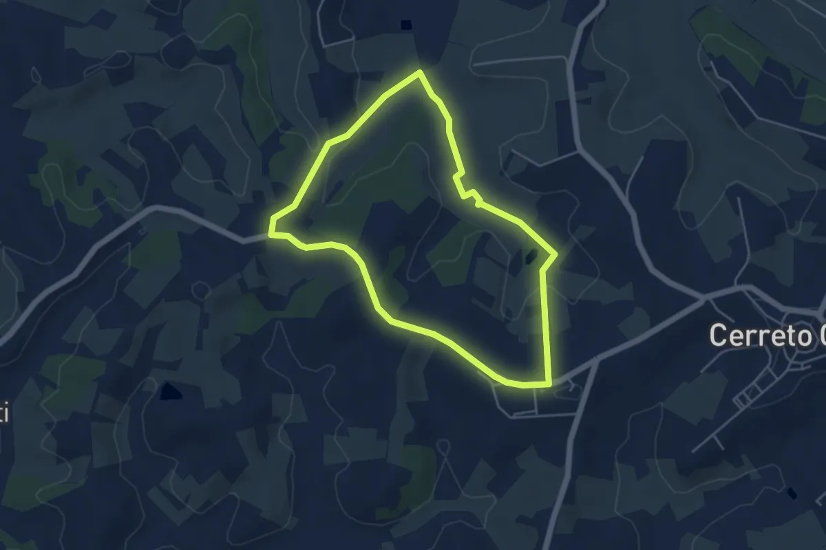
Easy · Trail
Anello mediceo 3 - Il Bosco di Cameretta
4.4 km · ↑ 77 m · 1 h 16 min · 13 km away
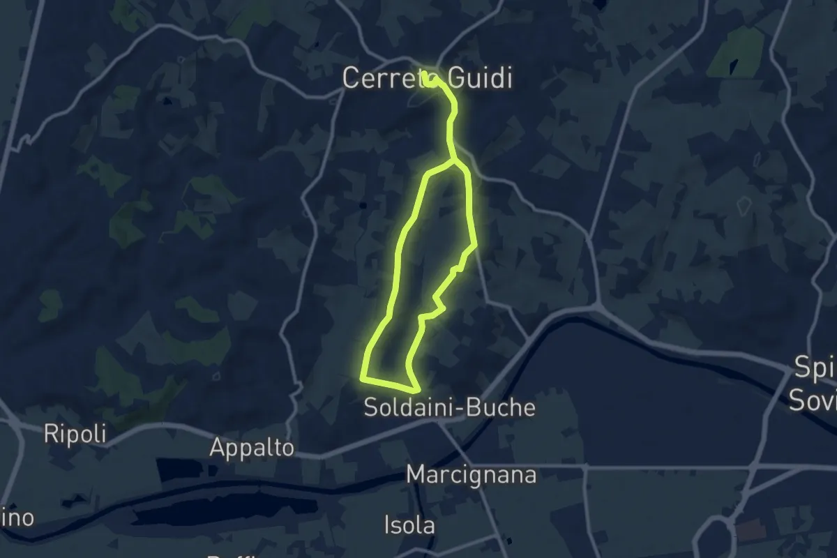
Easy · Trail
Anello mediceo 4 - Via del Lungo
7.7 km · ↑ 127 m · 2 h 11 min · 13 km away
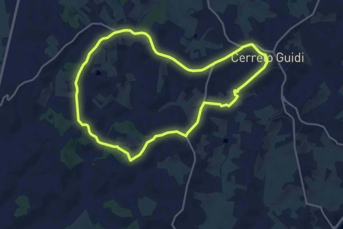
Medium · Trail
Anello mediceo 1 - La Capra
9.6 km · ↑ 167 m · 2 h 45 min · 13 km away
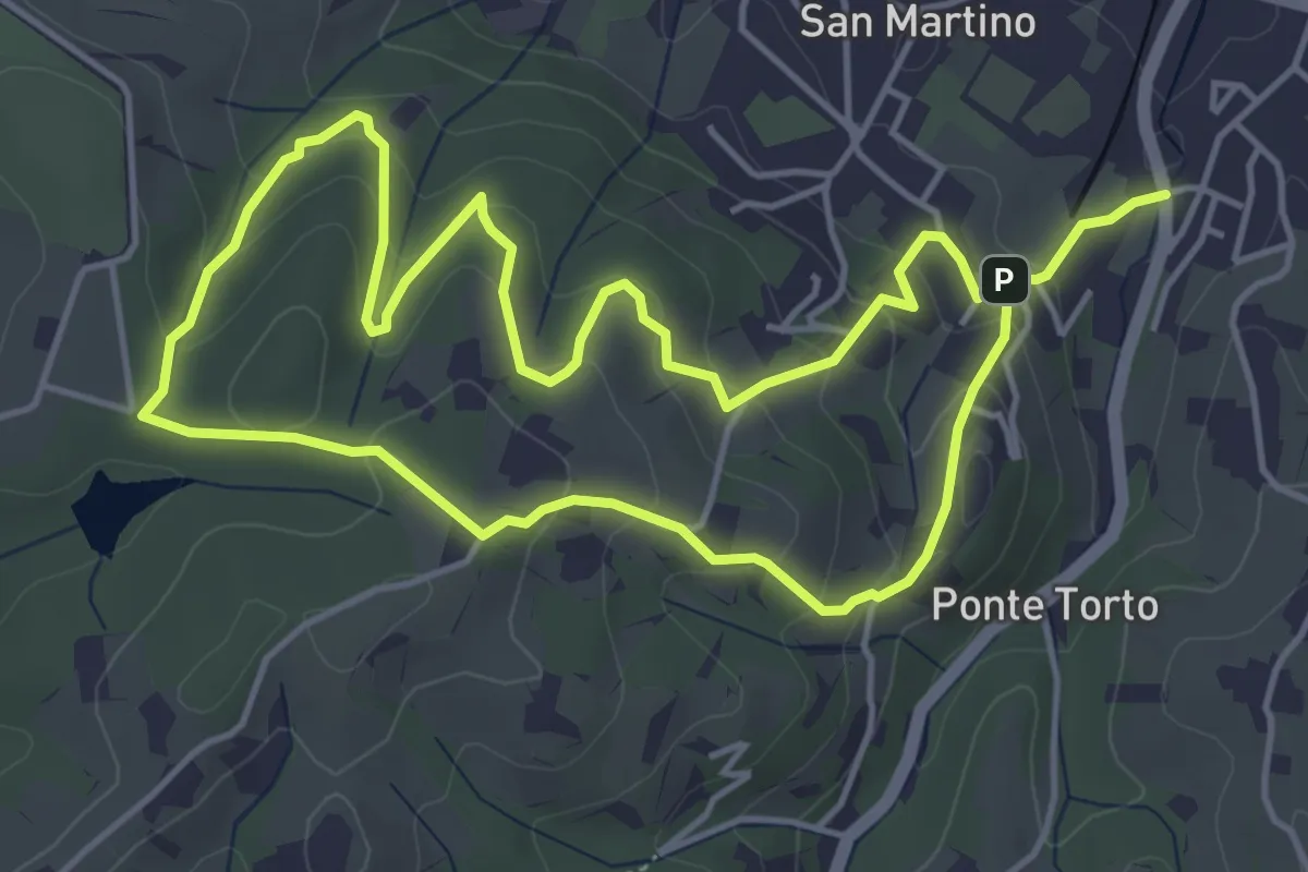
Easy · Trail
Anello Villa Caruso
4.9 km · ↑ 243 m · 1 h 46 min · 13 km away
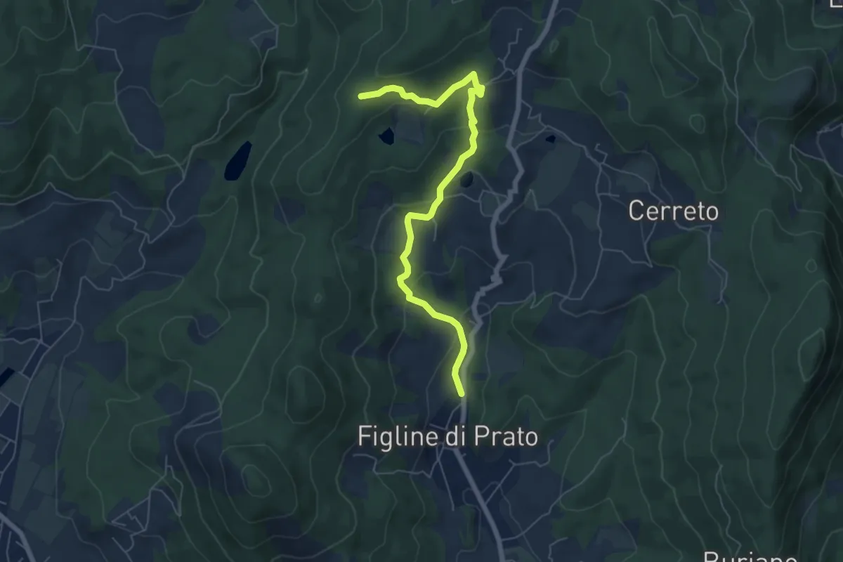
Easy · Trail
Figline (Pian di Gello) – Monte Lopi Fontanaccio
6.6 km · ↑ 295 m · 2 h 13 min · 13 km away
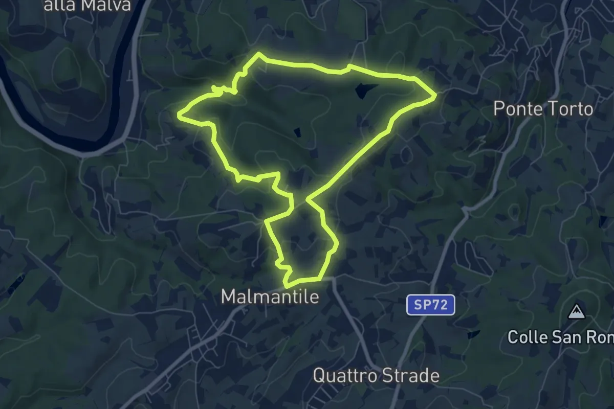
Easy · Summit
Anello di Lecceto
7.5 km · ↑ 199 m · 2 h 18 min · 13 km away
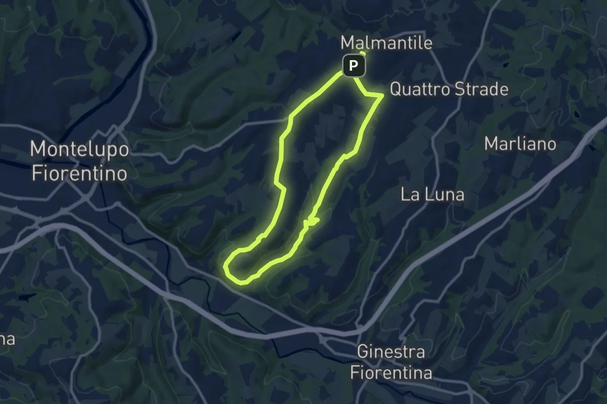
Medium · Trail
Malmantile – Malmantile
8.5 km · ↑ 145 m · 2 h 26 min · 14 km away
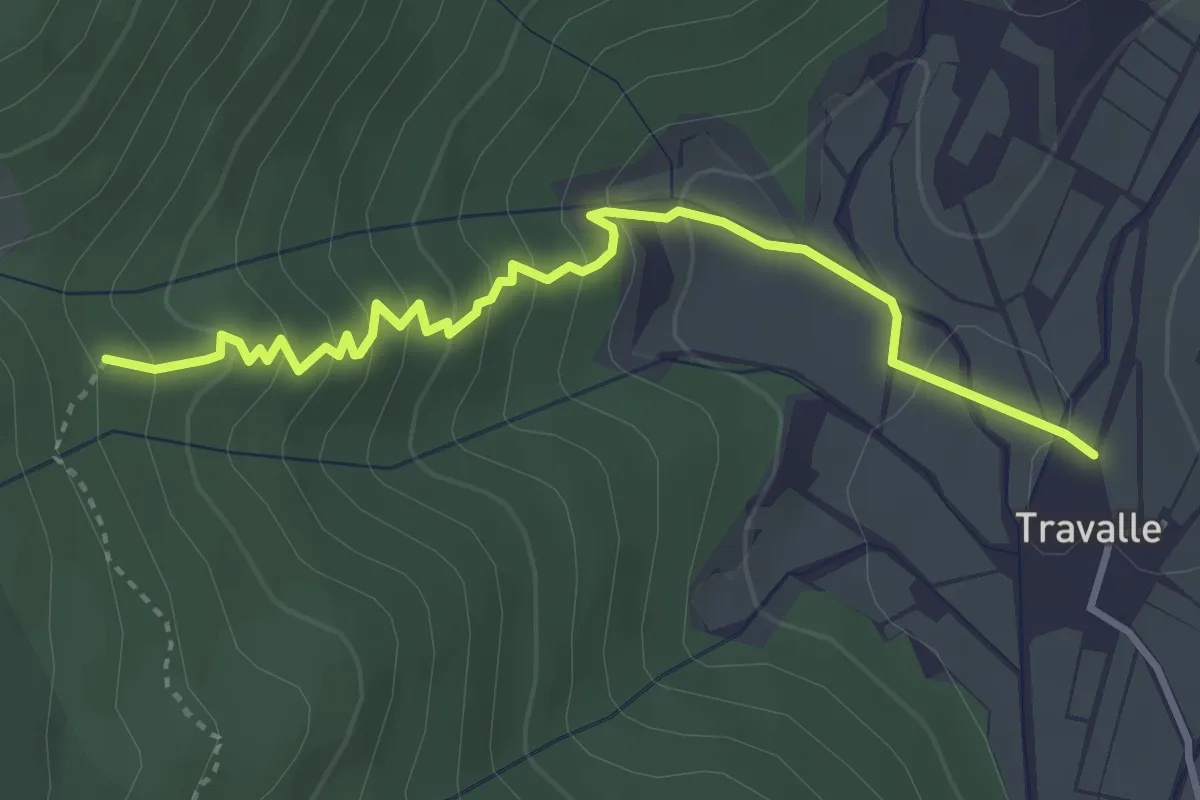
Easy · Trail
Travalle – Casa Villanova
4.0 km · ↑ 261 m · 1 h 30 min · 14 km away
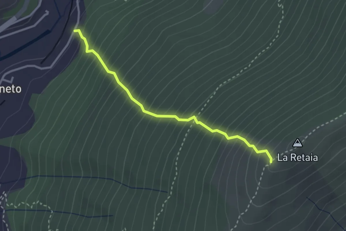
Medium · Trail
La Ovest Retaia
2.8 km · ↑ 628 m · 2 h 1 min · 14 km away
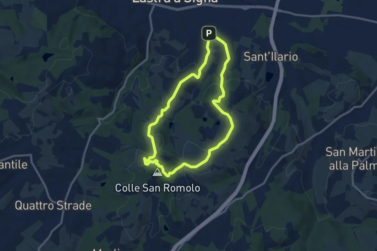
Easy · Summit
Anello di San-Romolo
6.6 km · ↑ 247 m · 2 h 11 min · 14 km away
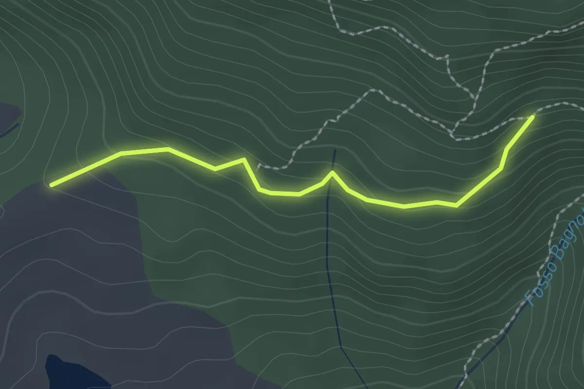
Easy · Trail
Bivio per Masso a' Corvi – Fattoria di Javello
2.1 km · ↑ 129 m · 46 min · 14 km away
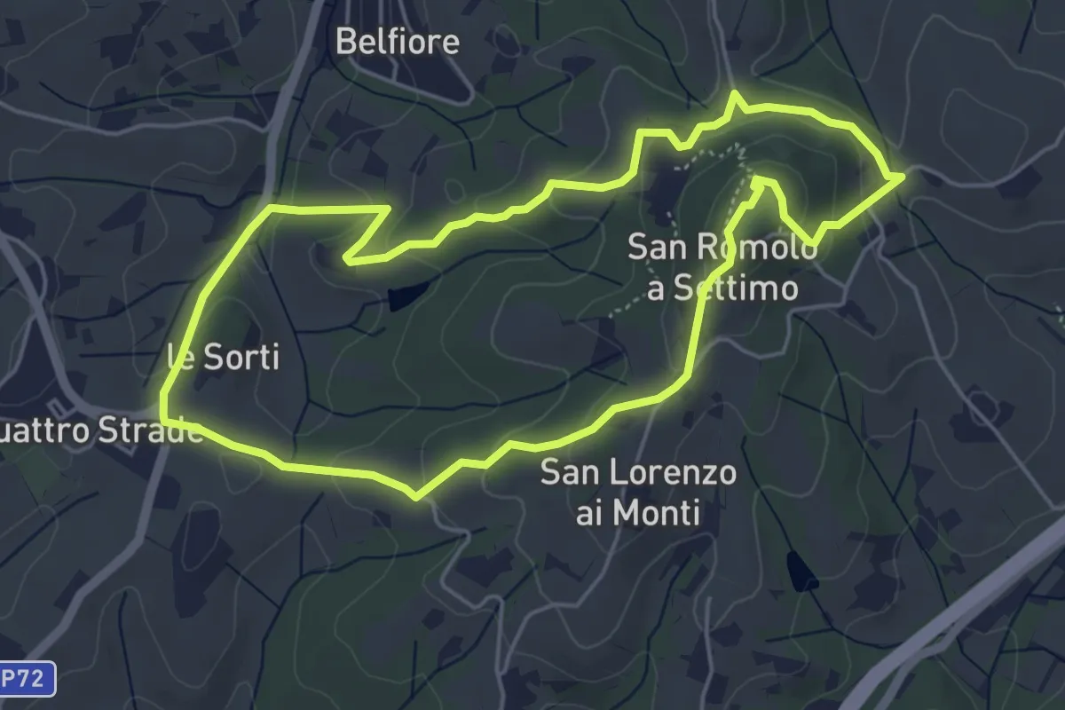
Easy · Summit
Anello della Guerrina
5.2 km · ↑ 181 m · 1 h 42 min · 15 km away
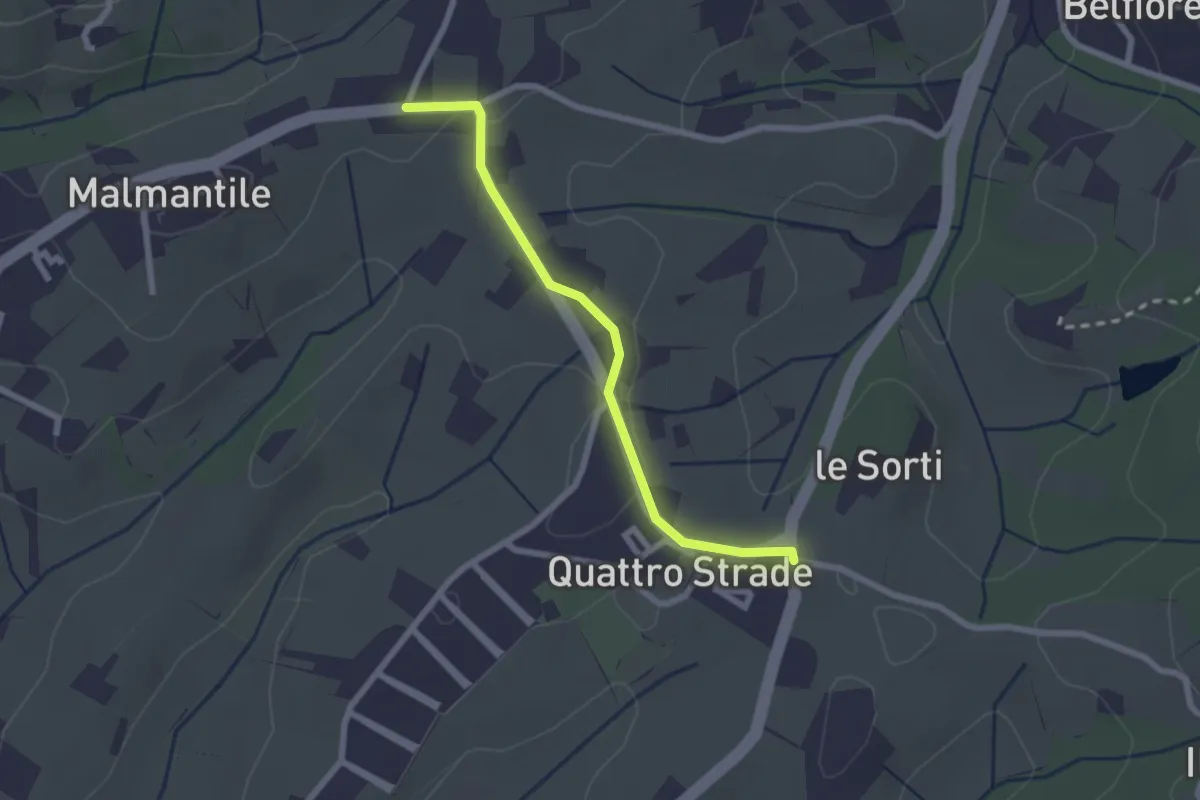
Easy · Trail
Innesto sentiero741, incrocio Via Vecchia Pisana con Via S. Salvadore – Innesto sentiero CAI 745, incrocio Via Maremmana con Via del Pollaiolo
2.4 km · ↑ 36 m · 38 min · 15 km away
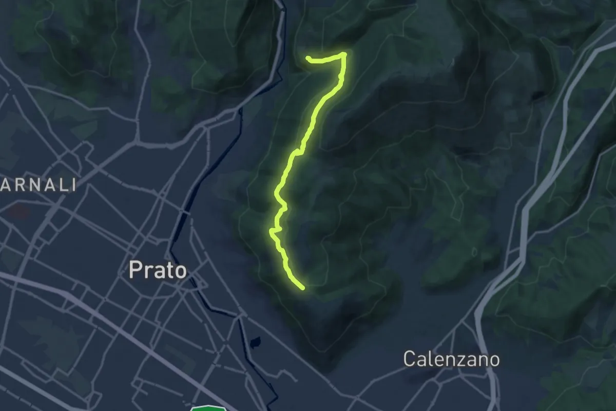
Medium · Trail
San Leonardo – Fosso della Valluccia
12.8 km · ↑ 519 m · 4 h 8 min · 15 km away
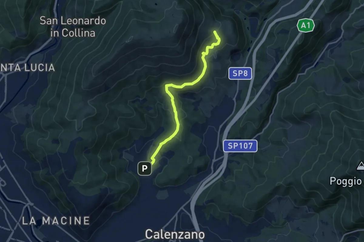
Medium · Summit
Sentiero della Pace
11.4 km · ↑ 392 m · 3 h 32 min · 15 km away
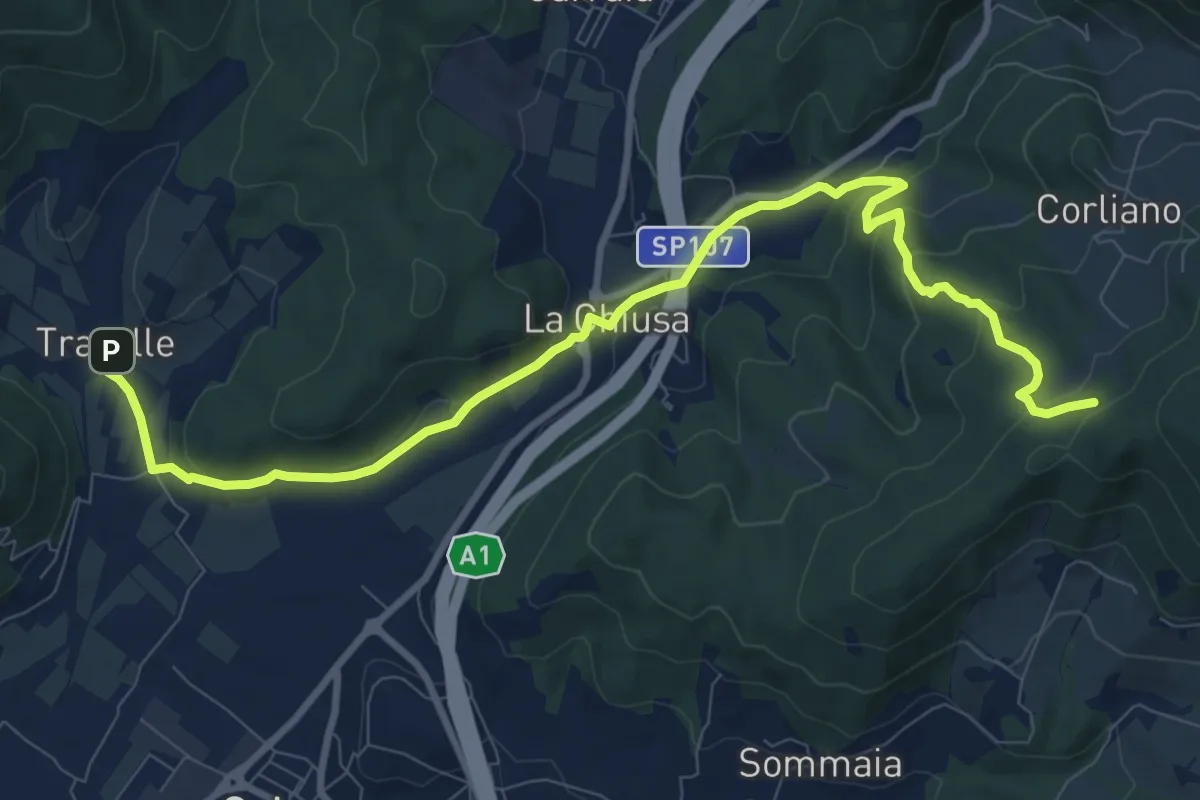
Medium · Trail
La Chiusa – Incrocio sent. 609
11.7 km · ↑ 369 m · 3 h 33 min · 15 km away