Trails near Quiliano
116 hikes starting within 15 km, nearest first.
Nearest first, page 1 of 3
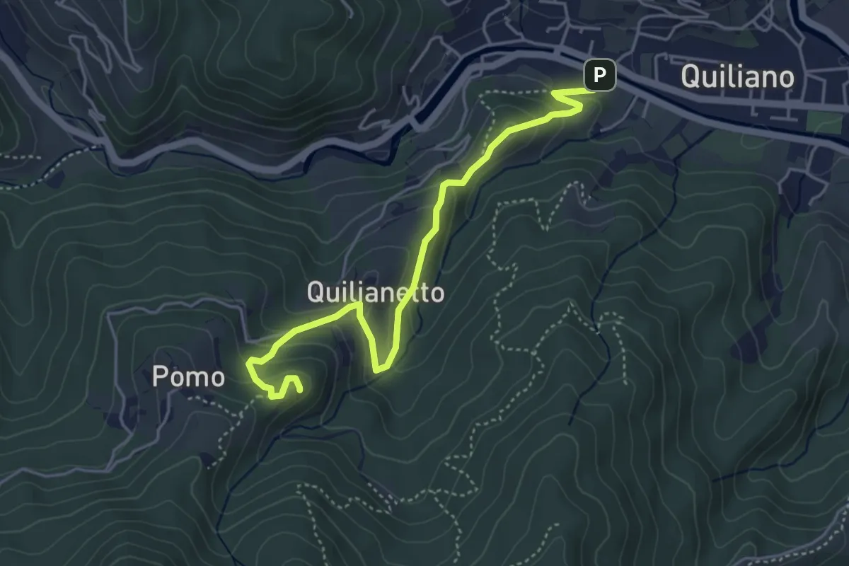
Medium · Summit
Quiliano - Rocche del Castello
4.8 km · ↑ 236 m · 1 h 39 min · under 1 km away
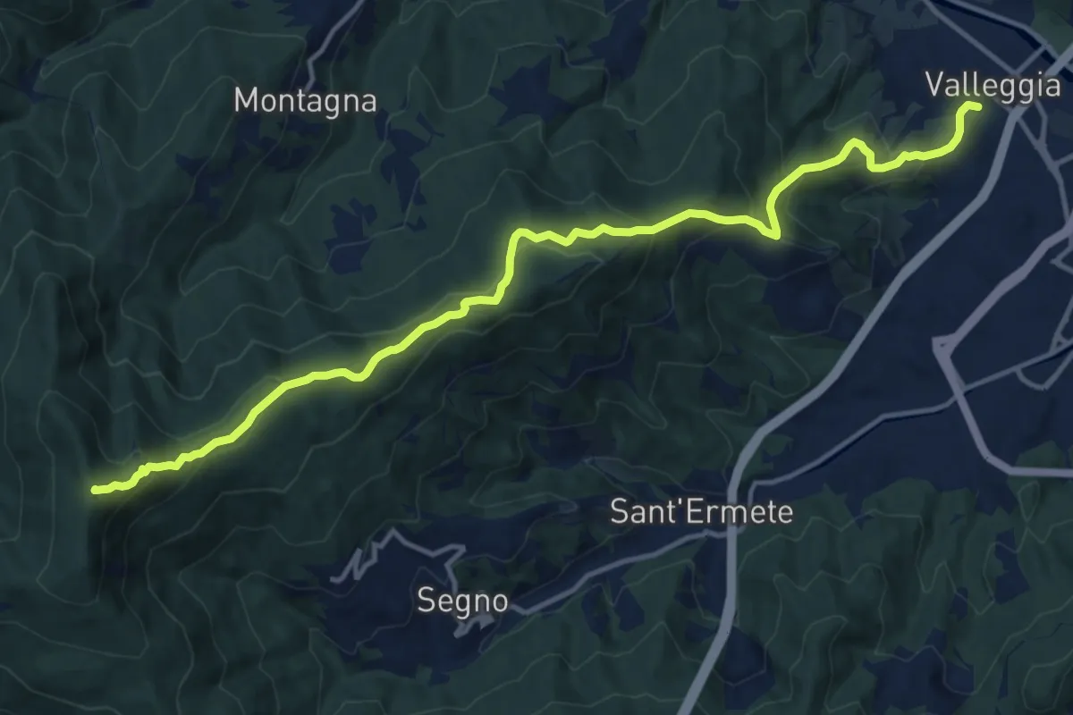
Demanding · Summit
Valleggia - Rocca dei Corvi - Rocche Bianche
15.3 km · ↑ 779 m · 5 h 19 min · 2 km away
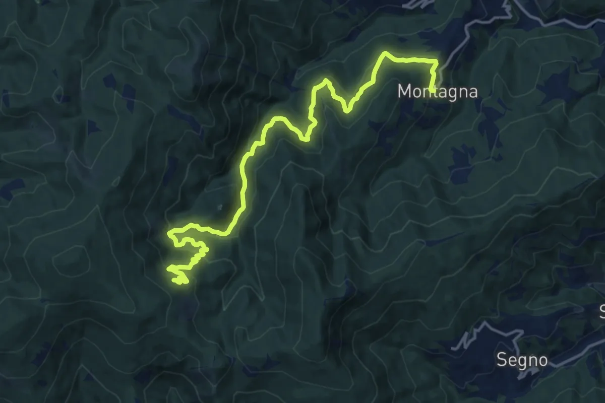
Demanding · Trail
Montagna - Torrente Trexenda - Rocche Bianche
16.7 km · ↑ 879 m · 5 h 51 min · 3 km away
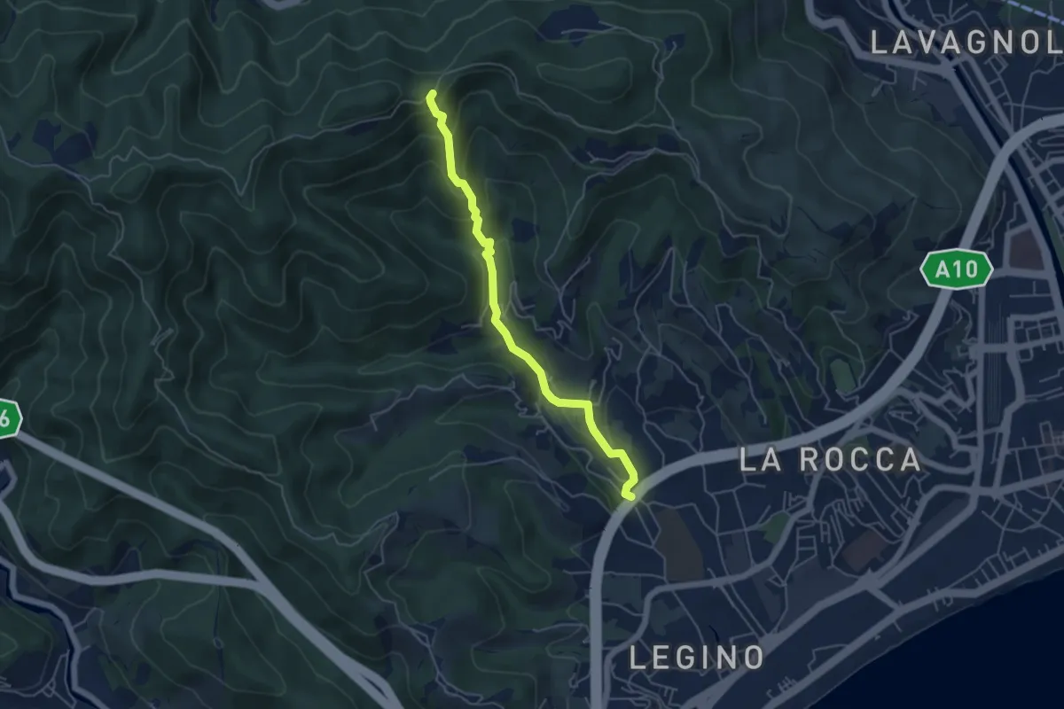
Medium · Trail
SAVONA (LOCALITÁ POLO NORD) - PASSO PAOLINO EST
5.0 km · ↑ 298 m · 1 h 49 min · 4 km away
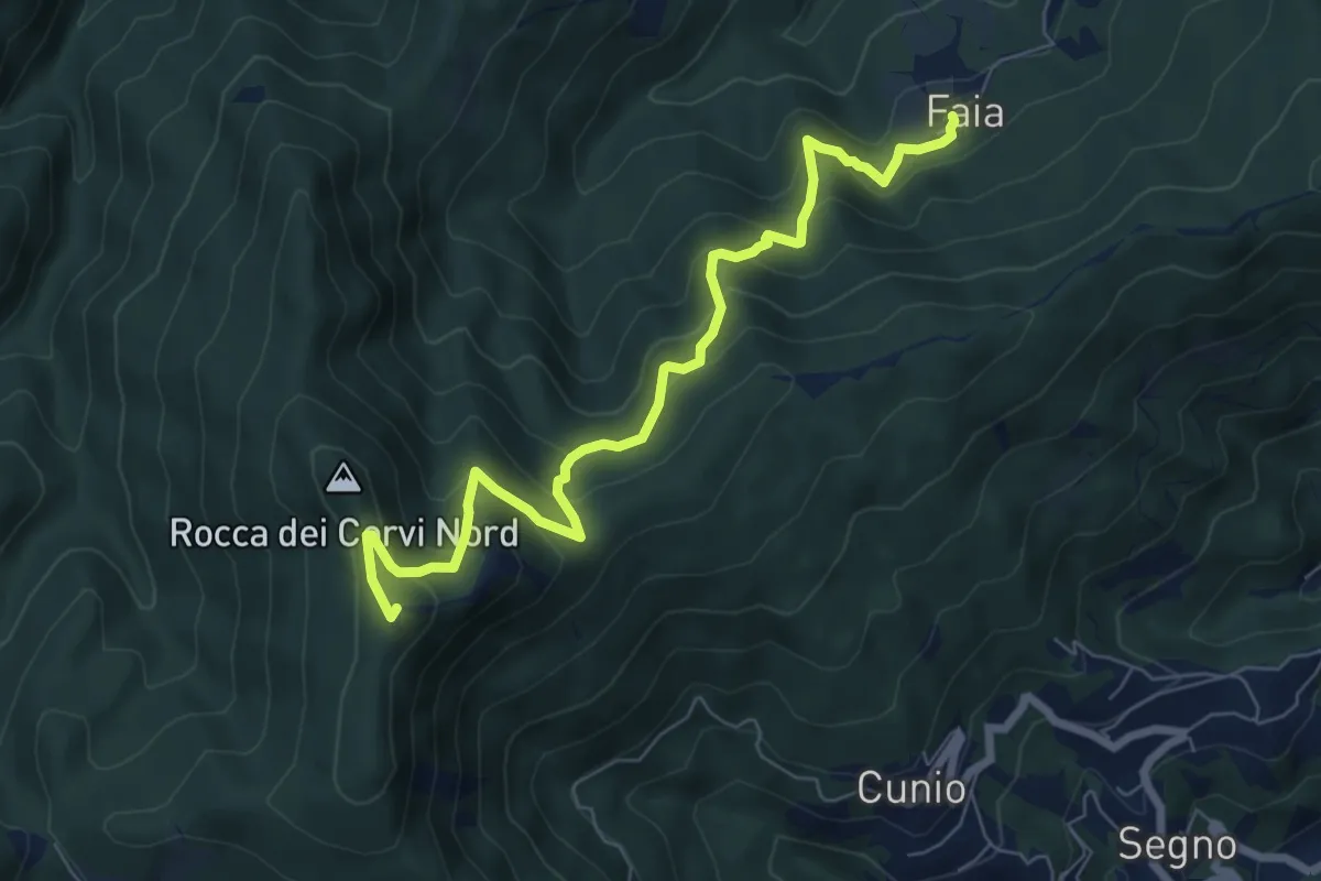
Medium · Summit
Faia - Rocca dei Corvi
7.7 km · ↑ 590 m · 3 h 6 min · 4 km away
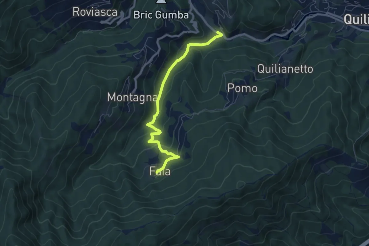
Easy · Trail
Becchi - Cascata Donnaiola - Faia
6.6 km · ↑ 263 m · 2 h 7 min · 4 km away
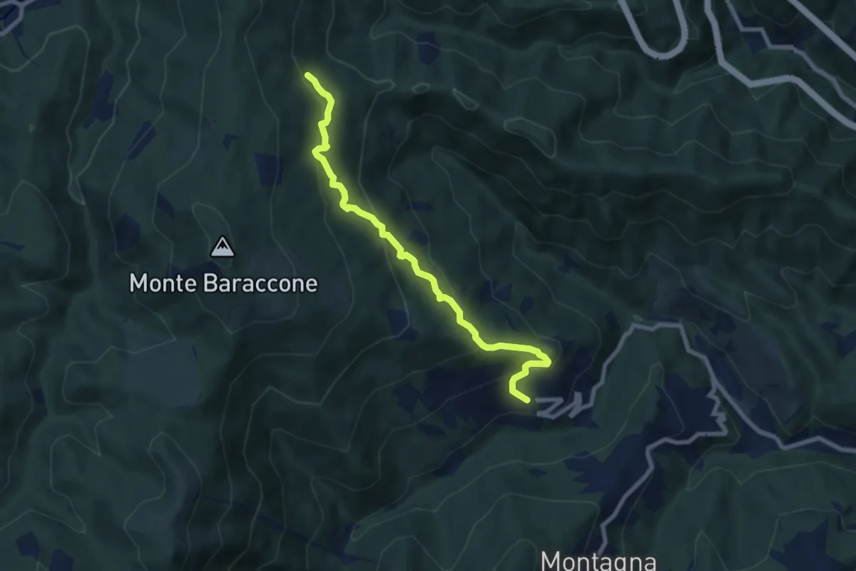
Medium · Trail
Roviasca – Cascina Sarasino
7.6 km · ↑ 476 m · 2 h 50 min · 4 km away
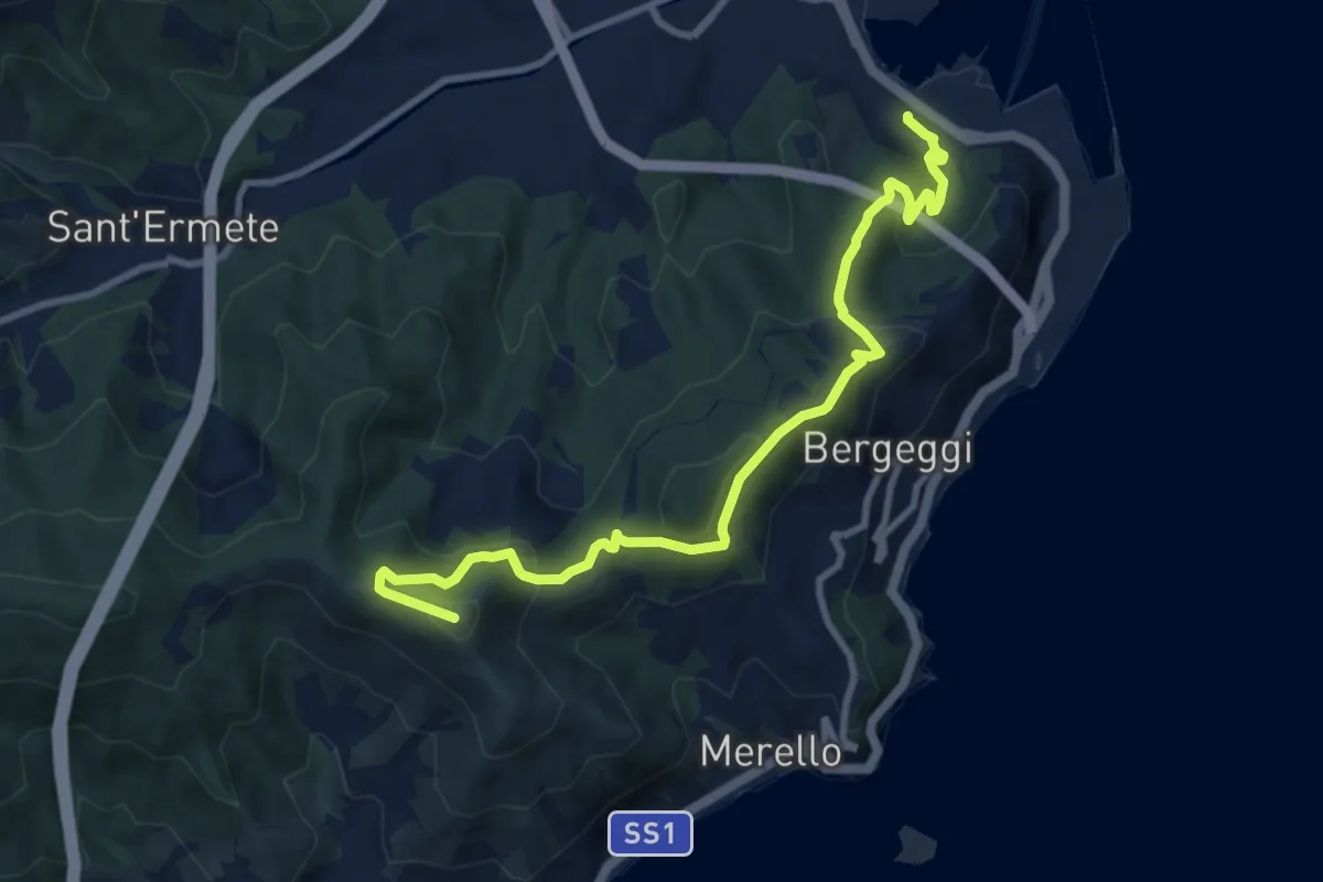
Medium · Summit
Vado Ligure - Monte Mao - Spotorno
10.6 km · ↑ 577 m · 3 h 45 min · 4 km away
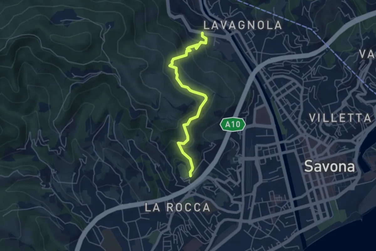
Medium · Trail
Savona (Ponte Sul Lavanestro) – Localitá Fontanassa (Campo Sportivo)
5.0 km · ↑ 341 m · 1 h 55 min · 4 km away
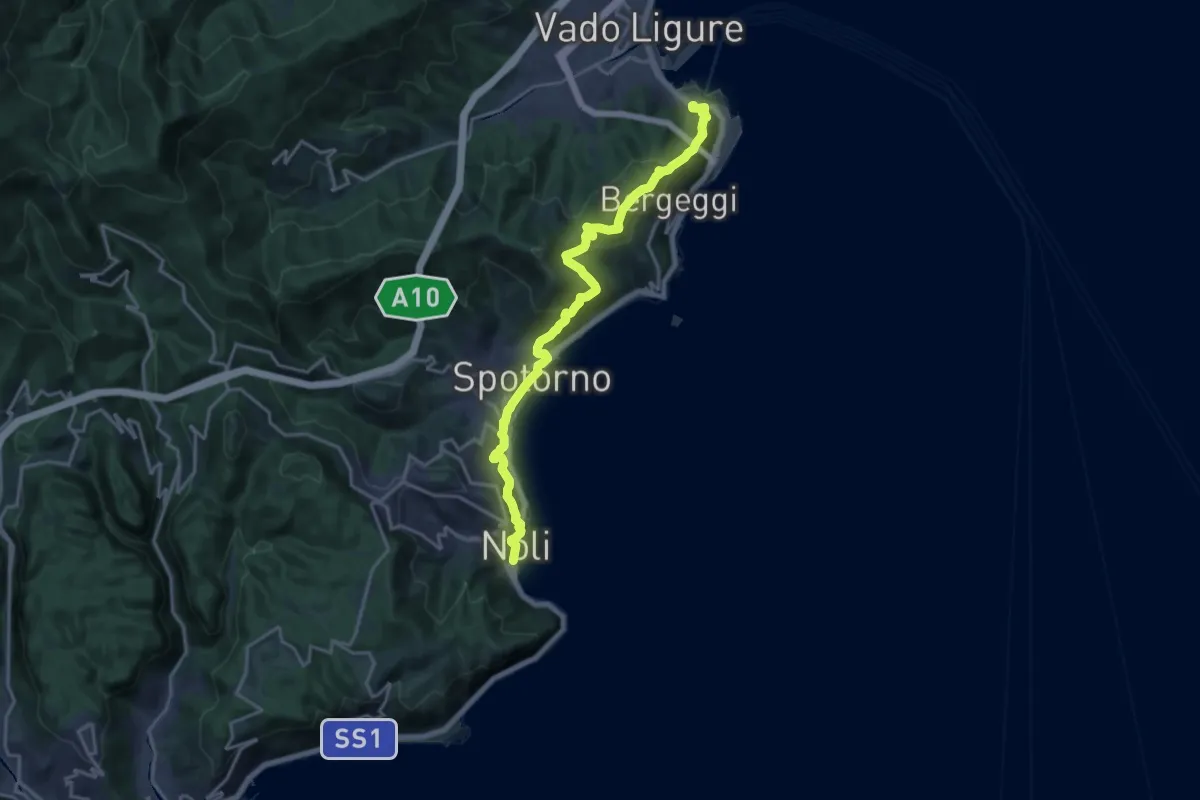
Demanding · Trail
Sentiero Liguria - Tappa 18
19.2 km · ↑ 945 m · 6 h 35 min · 4 km away
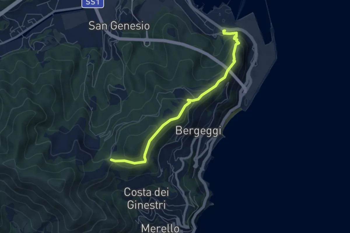
Medium · Trail
Vado Ligure - Gola di Sant'Elena
6.2 km · ↑ 360 m · 2 h 14 min · 4 km away
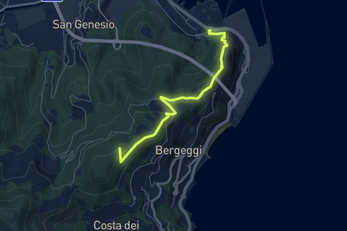
Medium · Summit
Variante Vado Ligure - Spotorno
5.7 km · ↑ 305 m · 2 h · 4 km away
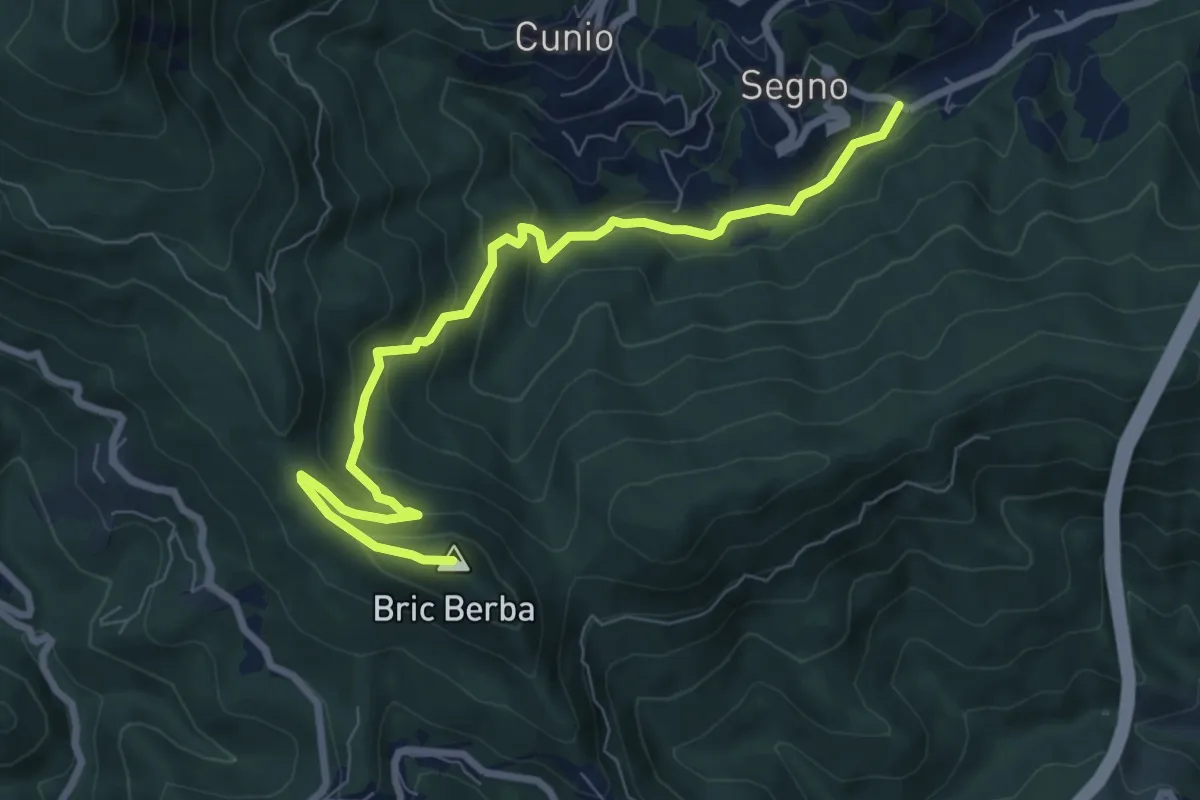
Medium · Summit
Ponte Isola - Bric Berba
8.9 km · ↑ 462 m · 3 h 5 min · 5 km away
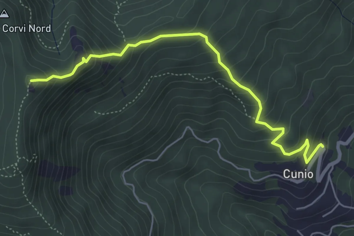
Demanding · Summit
Cunio - Rocca dei Corvi
5.4 km · ↑ 458 m · 2 h 16 min · 5 km away
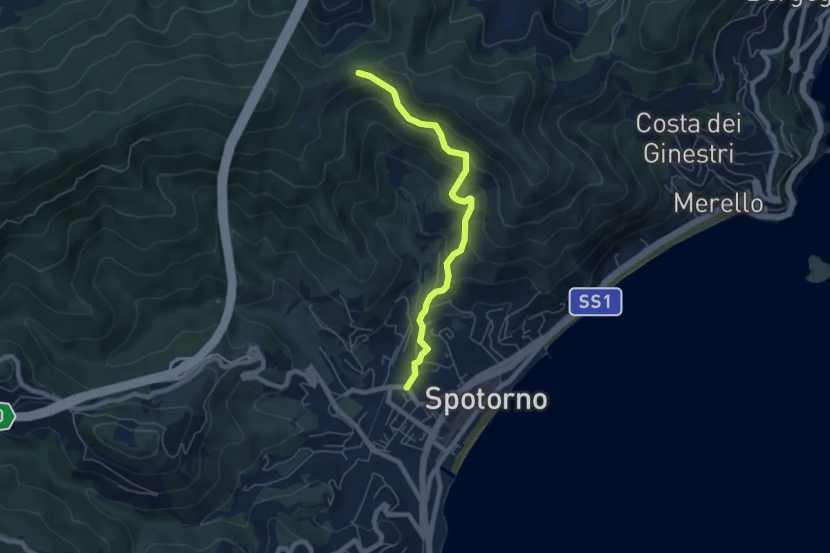
Medium · Trail
Spotorno - Passo Stretto
5.3 km · ↑ 351 m · 2 h 1 min · 5 km away
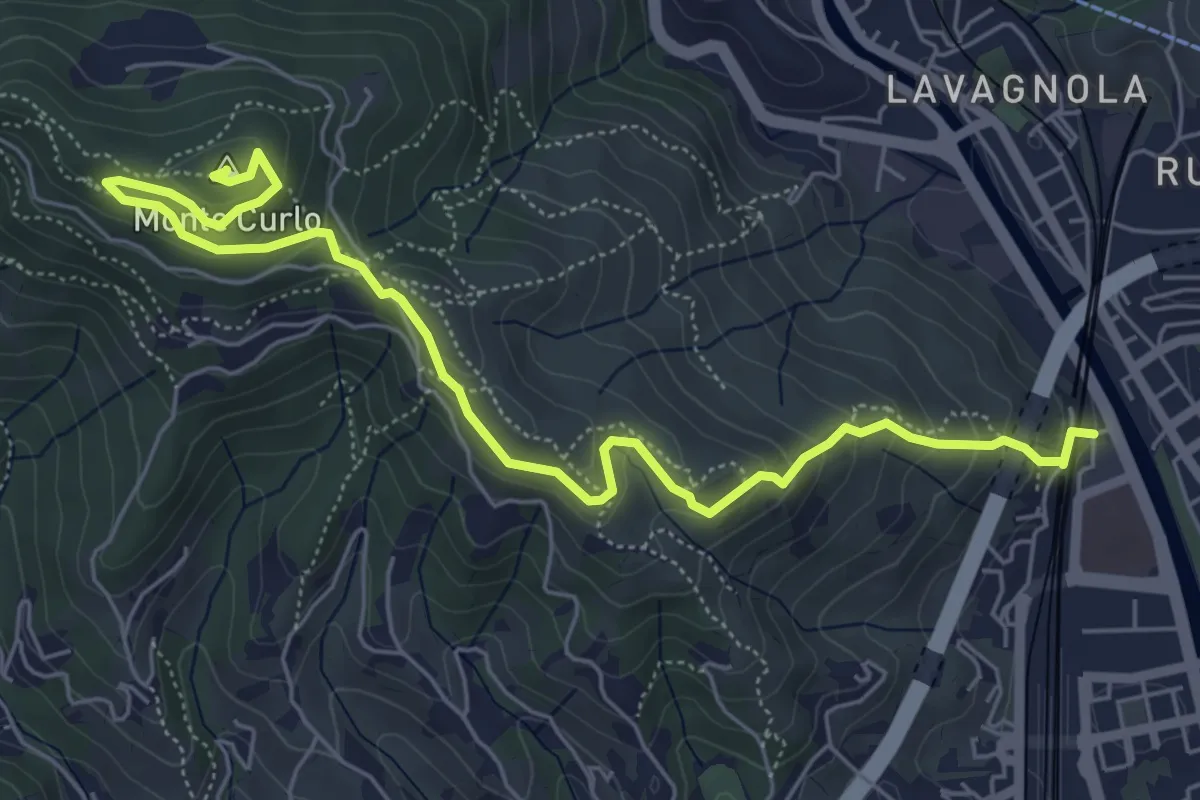
Medium · Summit
Savona - Monte Curlo
7.3 km · ↑ 377 m · 2 h 32 min · 5 km away
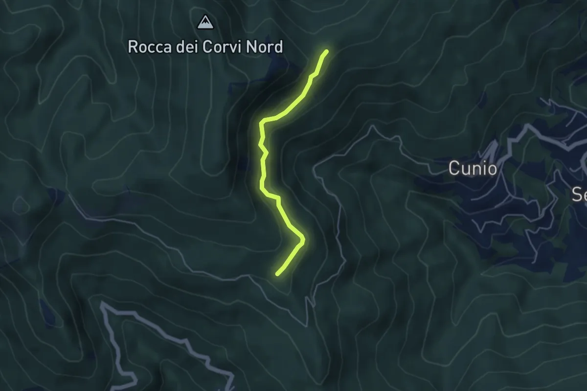
Easy · Trail
Collegamento est Rocca dei Corvi
3.8 km · ↑ 189 m · 1 h 18 min · 5 km away
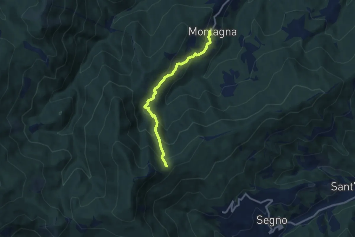
Medium · Trail
Montagna - Rocca dei Corvi
6.6 km · ↑ 498 m · 2 h 39 min · 5 km away
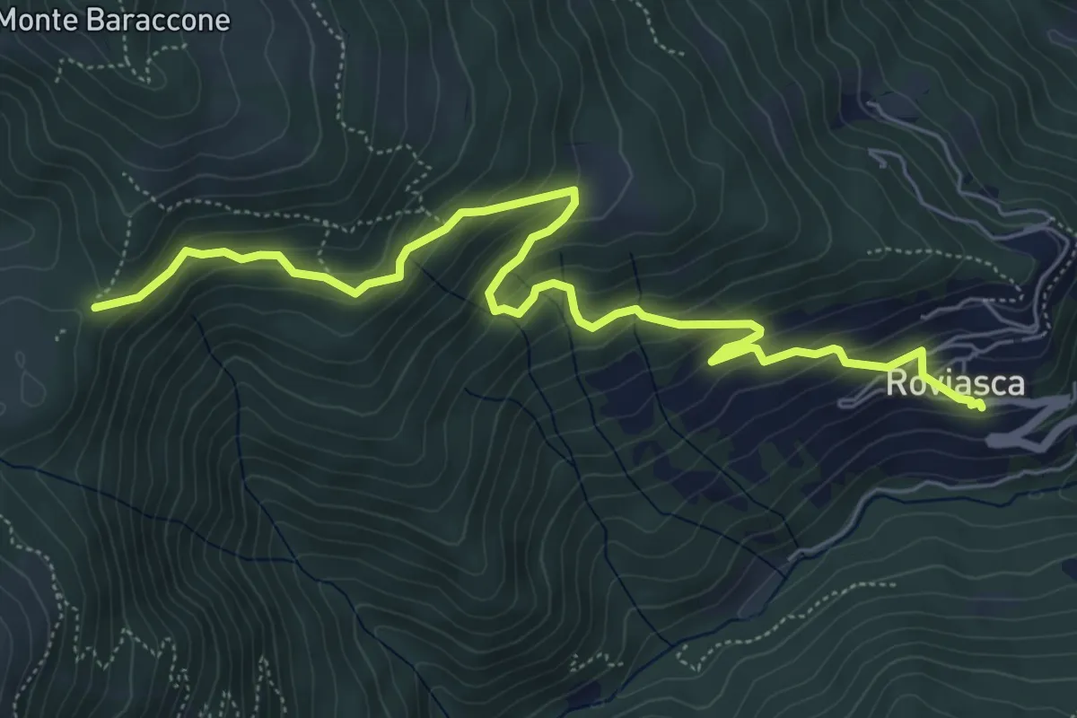
Medium · Trail
Roviasca – Colle del Baraccone
7.2 km · ↑ 459 m · 2 h 42 min · 6 km away
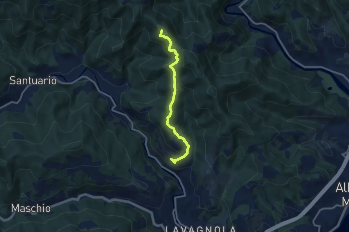
Medium · Summit
Marmorassi - Case Monte Paggio - Bric Schivà
6.1 km · ↑ 351 m · 2 h 12 min · 6 km away
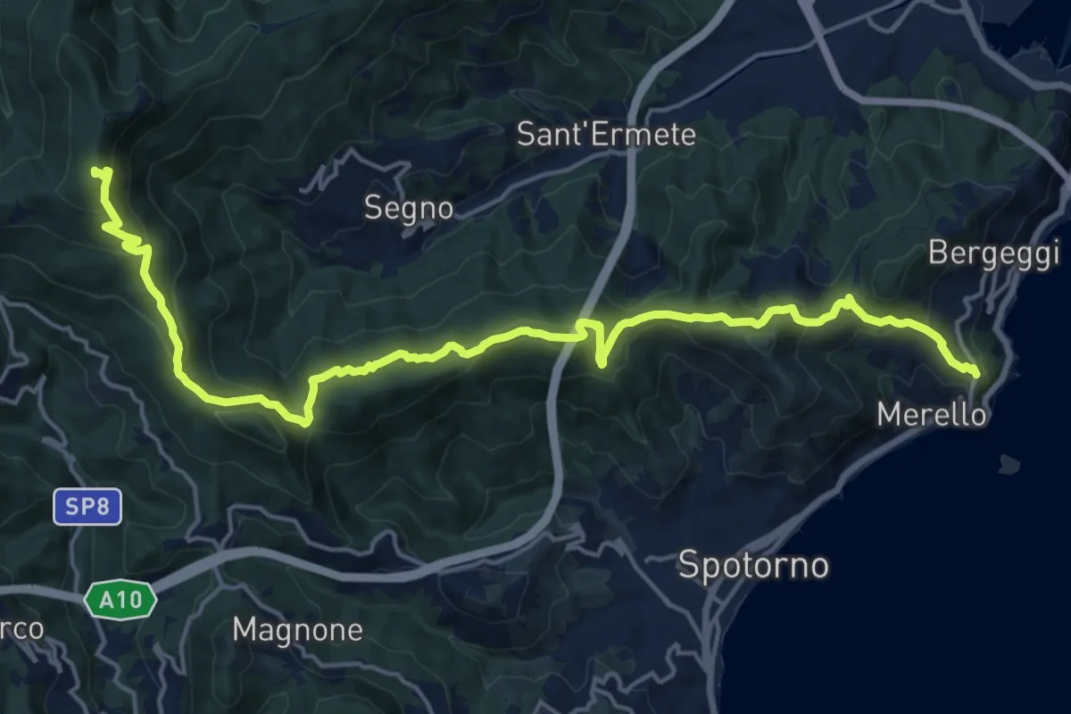
Demanding · Summit
Bergeggi - Monte Mao - Rocca dei Corvi
21.6 km · ↑ 1054 m · 7 h 23 min · 6 km away
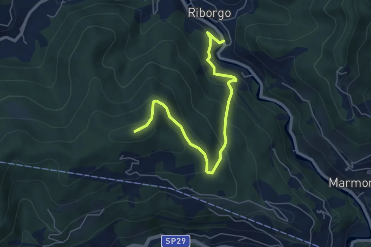
Medium · Summit
Savona Loc. Ponte Livè - Passo Perdoni
5.4 km · ↑ 381 m · 2 h 5 min · 6 km away
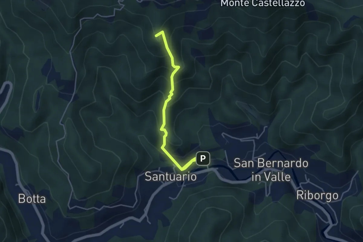
Medium · Summit
Sentiero dei Papi
4.5 km · ↑ 381 m · 1 h 53 min · 6 km away
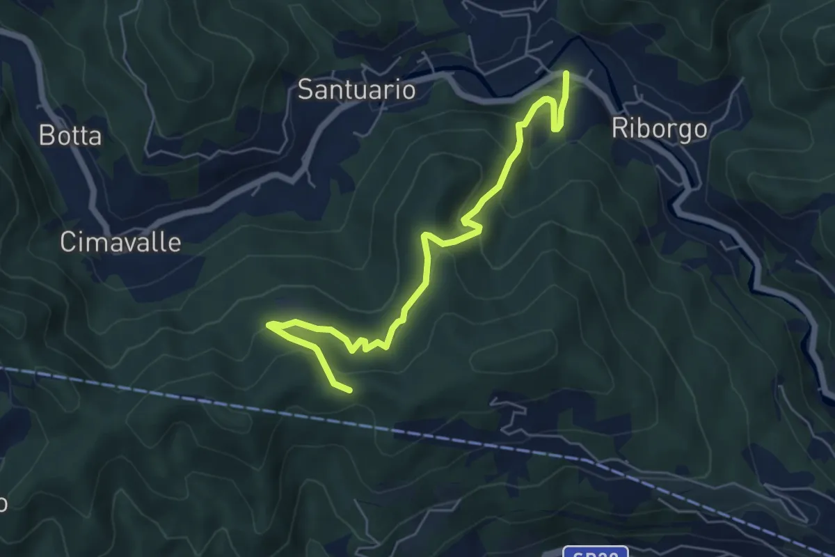
Medium · Trail
San Bernardo in Valle - Case Pietra Selvatica - Passo Perdoni
6.0 km · ↑ 447 m · 2 h 23 min · 6 km away
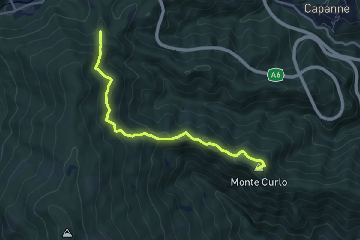
Medium · Summit
Quiliano – AV
7.0 km · ↑ 335 m · 2 h 23 min · 7 km away
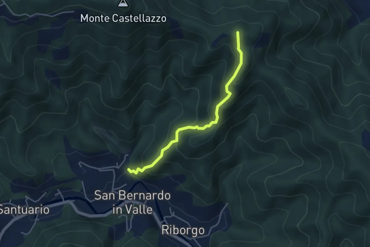
Medium · Summit
S. Bernardo in Valle - Bric del Crovaro
3.5 km · ↑ 331 m · 1 h 33 min · 7 km away
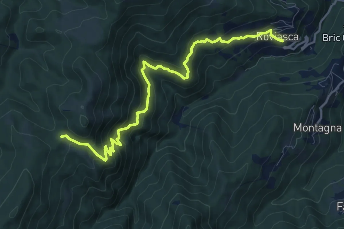
Medium · Trail
Roviasca – Colle del Termine
10.9 km · ↑ 724 m · 4 h 9 min · 7 km away
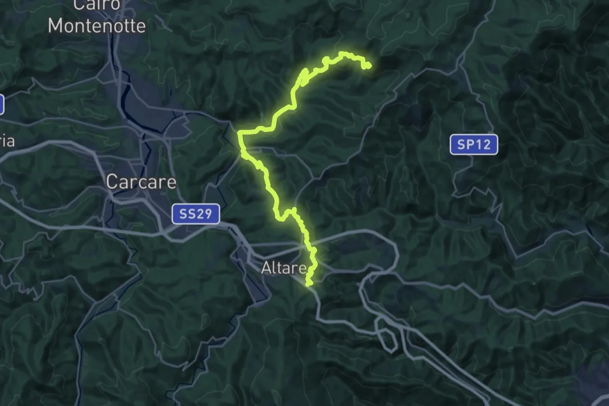
Demanding · Summit
Colle di Cadibona - Rifugio Cascina Miera
26.6 km · ↑ 845 m · 8 h 7 min · 7 km away
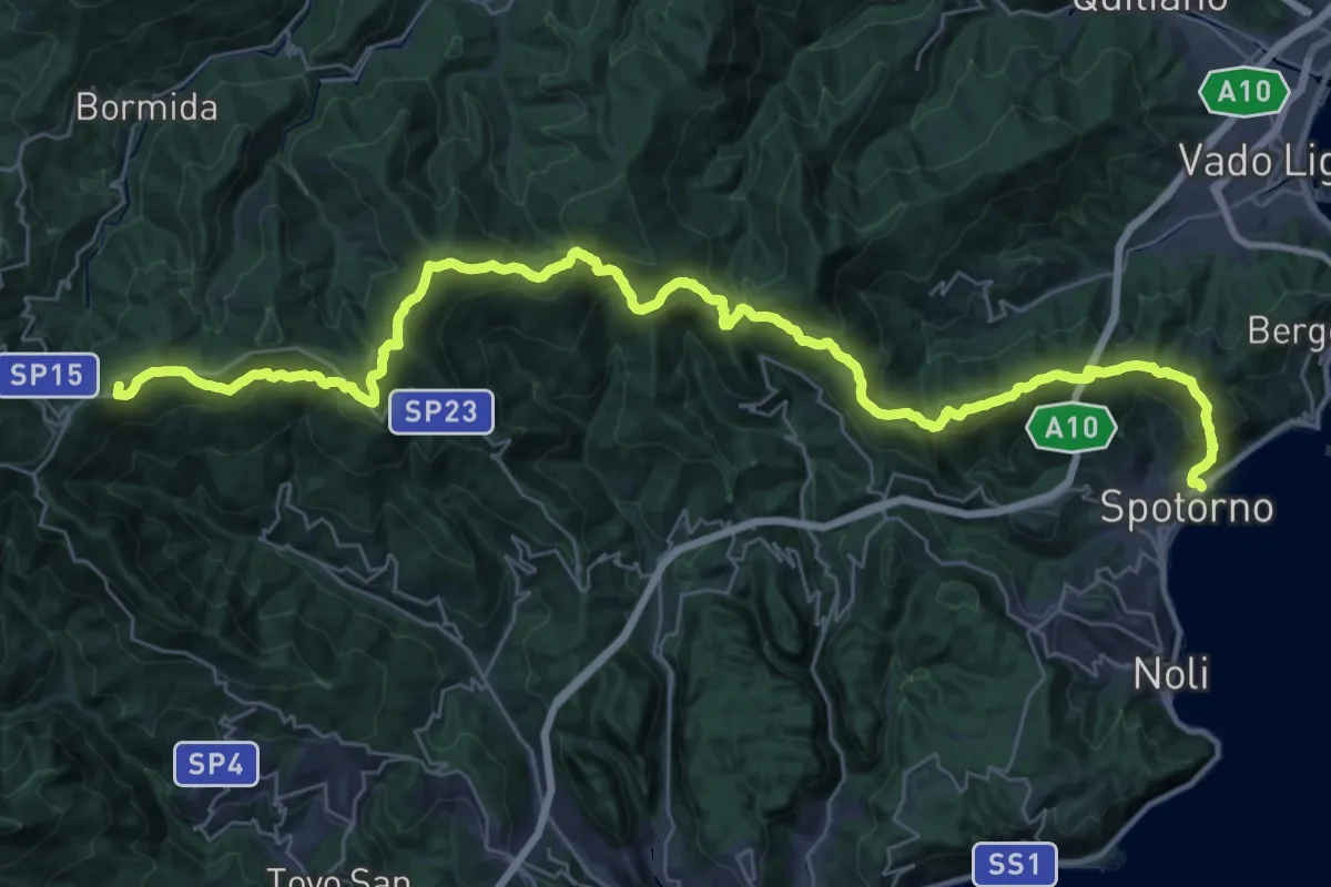
Demanding · Summit
Terre Alte
44.8 km · ↑ 2136 m · 15 h 12 min · 7 km away
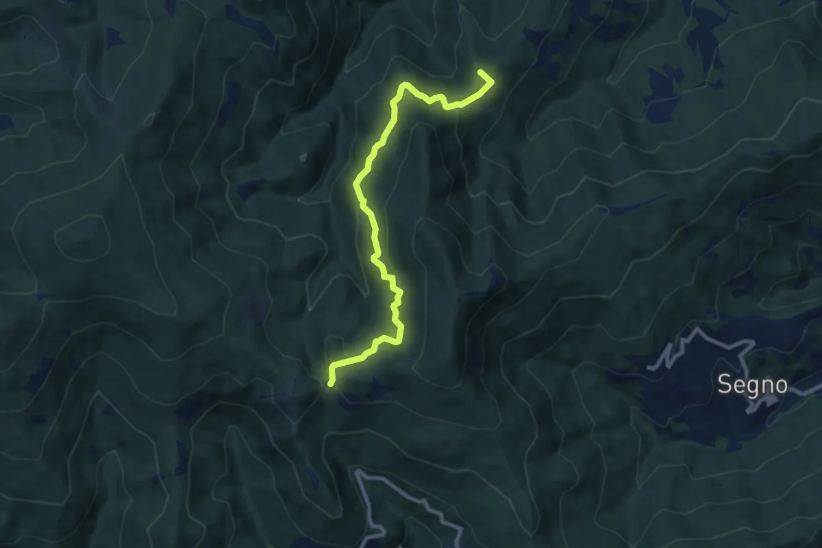
Medium · Summit
Montagna - Rocche Bianche (diretta)
8.7 km · ↑ 419 m · 2 h 58 min · 7 km away
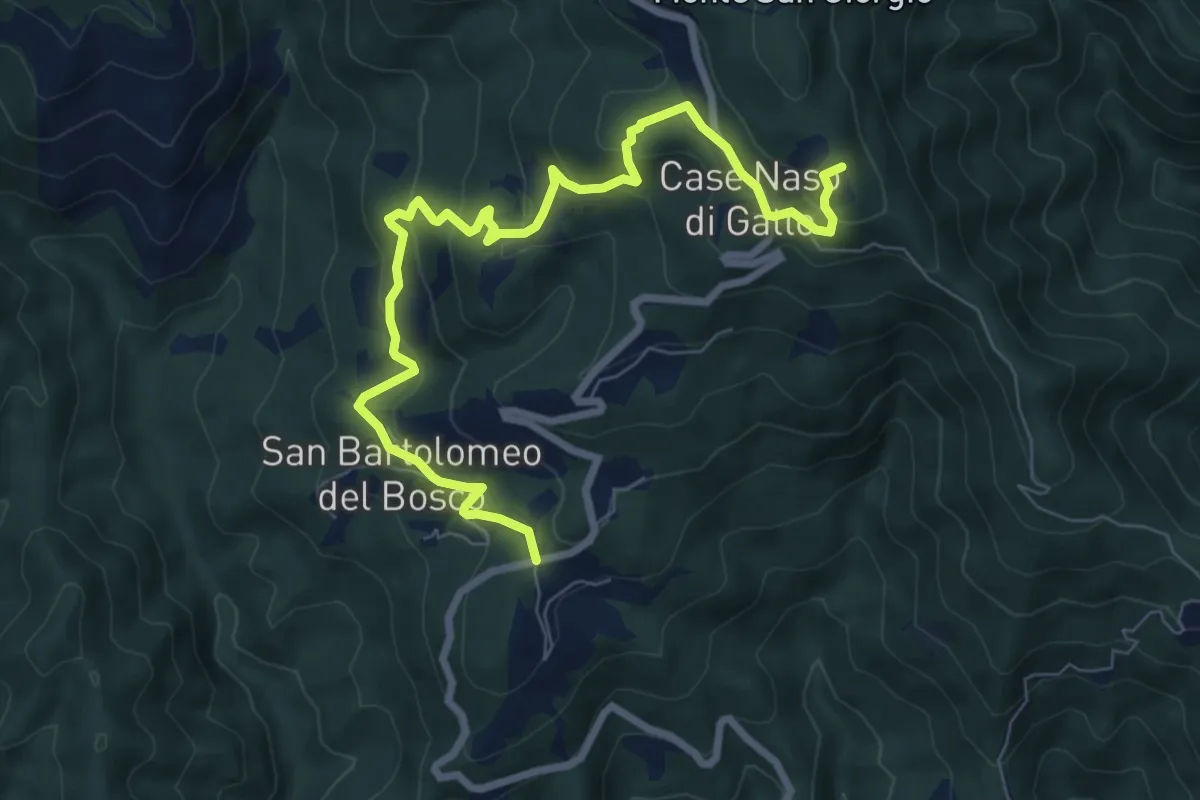
Medium · Summit
San Bartolomeo del Bosco - Naso di Gatto - Monte San Giorgio
9.0 km · ↑ 443 m · 3 h 4 min · 8 km away
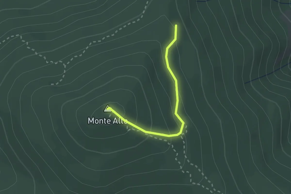
Medium · Summit
Sentiero R
2.0 km · ↑ 135 m · 46 min · 8 km away
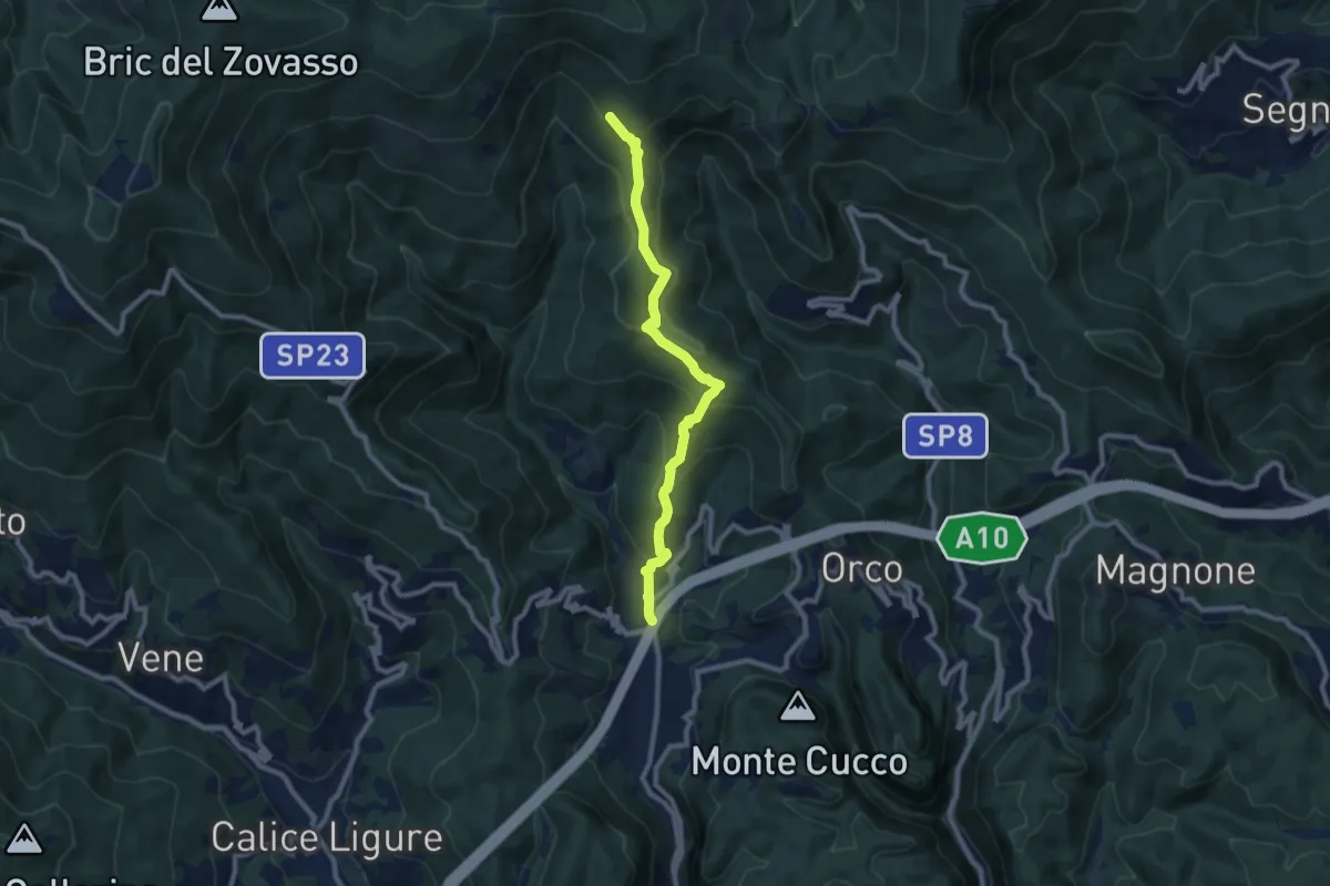
Medium · Trail
Feglino - Croce del Savio
9.3 km · ↑ 512 m · 3 h 19 min · 9 km away
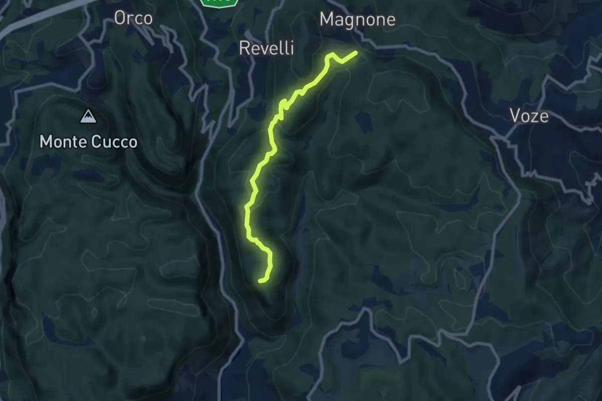
Demanding · Summit
Finalpia - Colla di Magnone
6.9 km · ↑ 266 m · 2 h 13 min · 9 km away
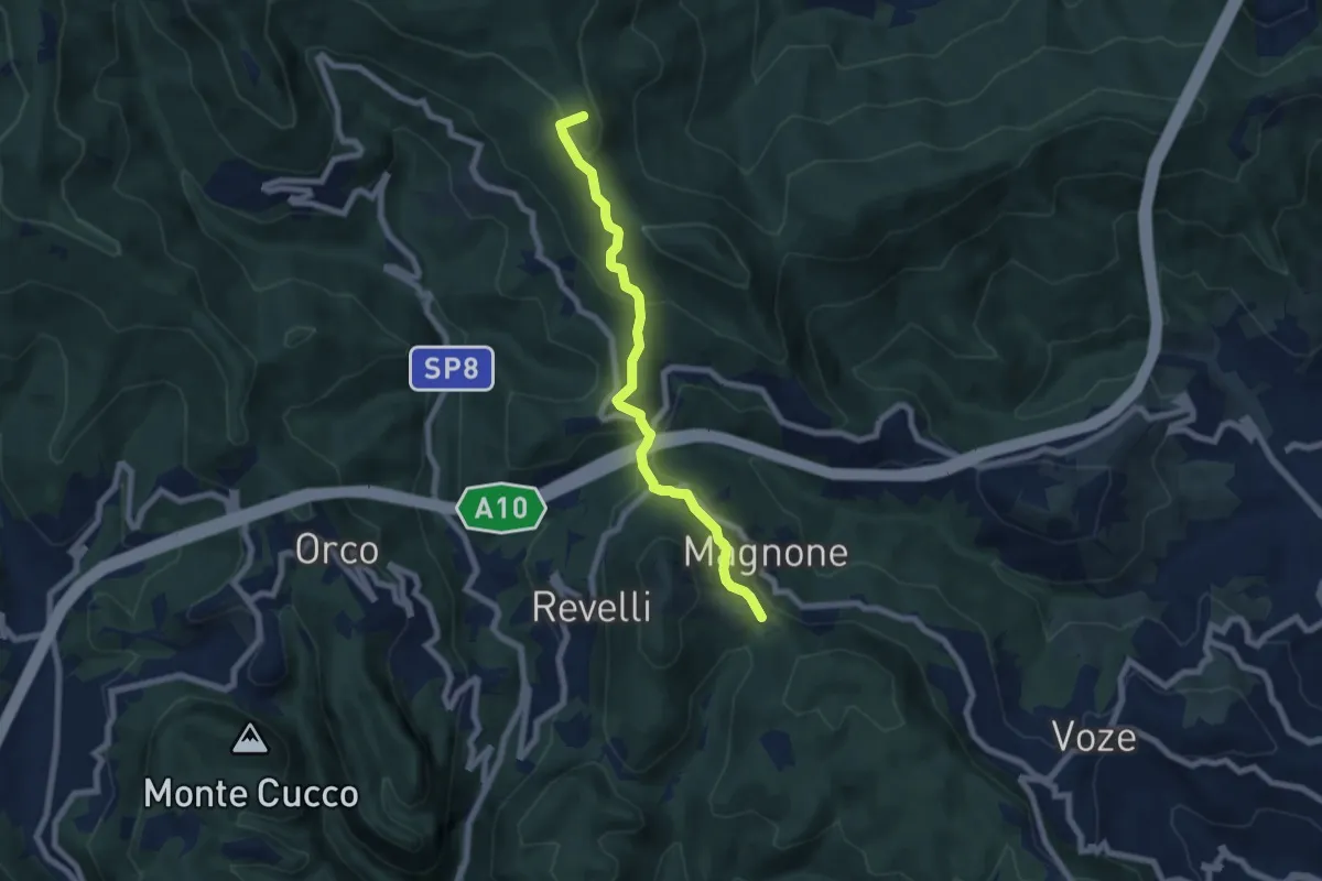
Easy · Summit
Colla Magnone - Santa Libera - Colla di San Giacomo
6.9 km · ↑ 283 m · 2 h 15 min · 9 km away
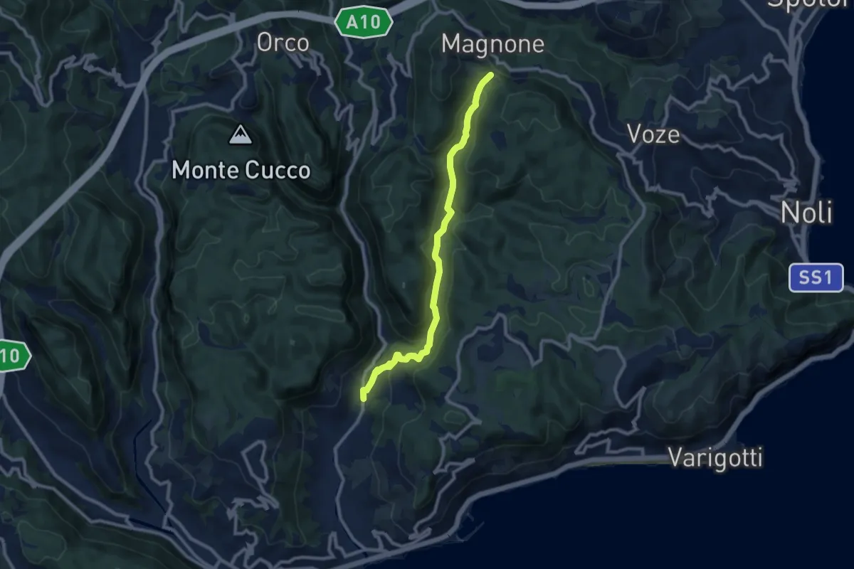
Medium · Trail
Calvisio – Colla Magnone
9.1 km · ↑ 378 m · 2 h 57 min · 9 km away
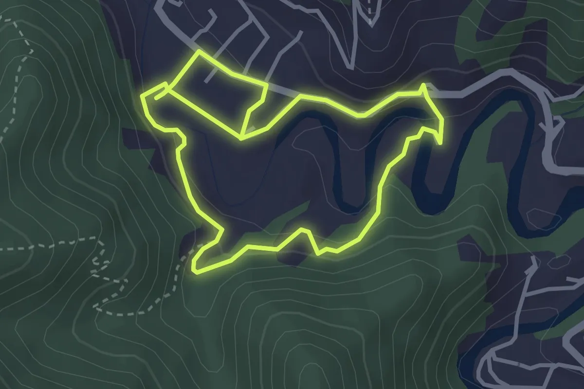
Easy · Trail
Anello Meadri di Ellera
2.9 km · ↑ 156 m · 1 h 3 min · 9 km away
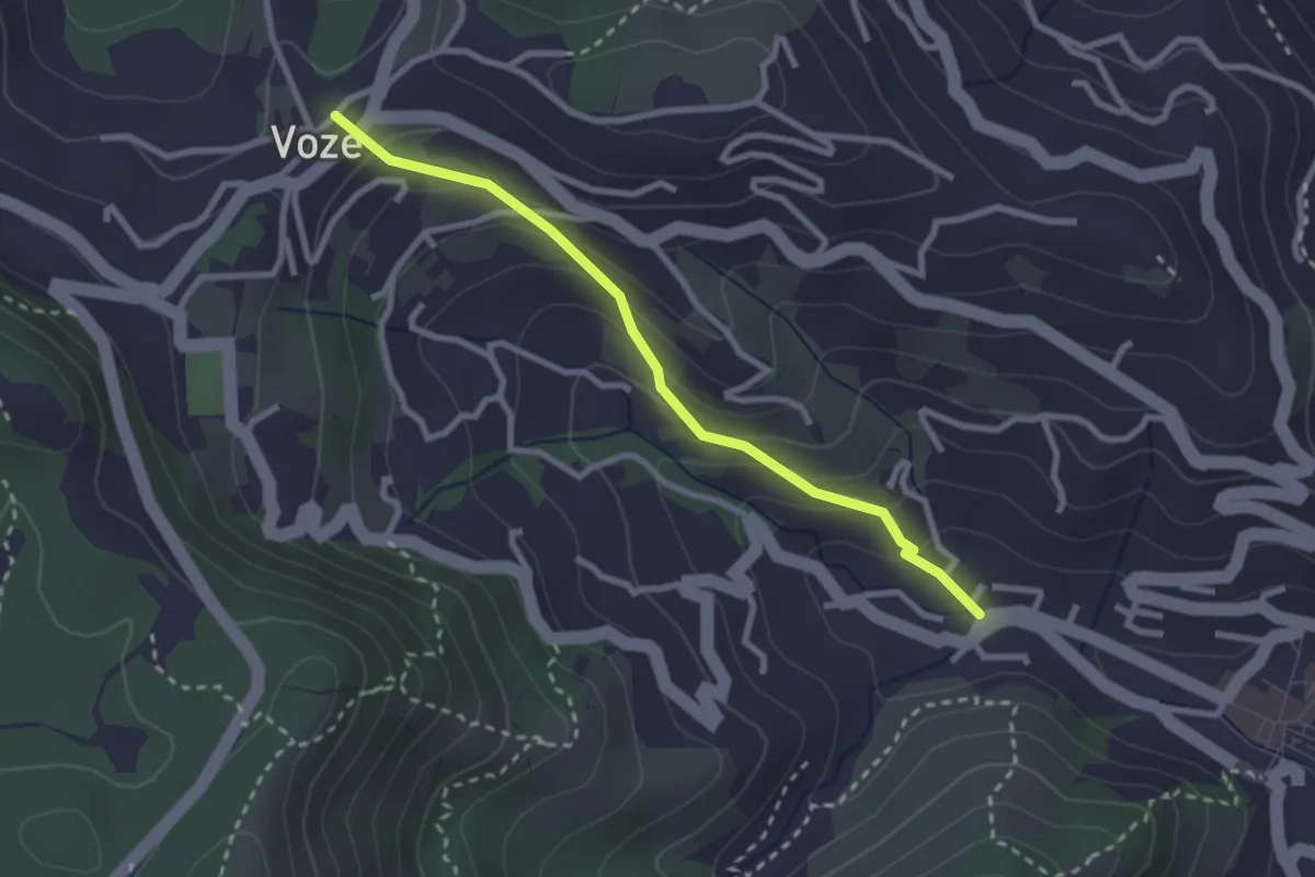
Easy · Trail
Strada Romana Noli - Voze
2.7 km · ↑ 171 m · 1 h 1 min · 9 km away
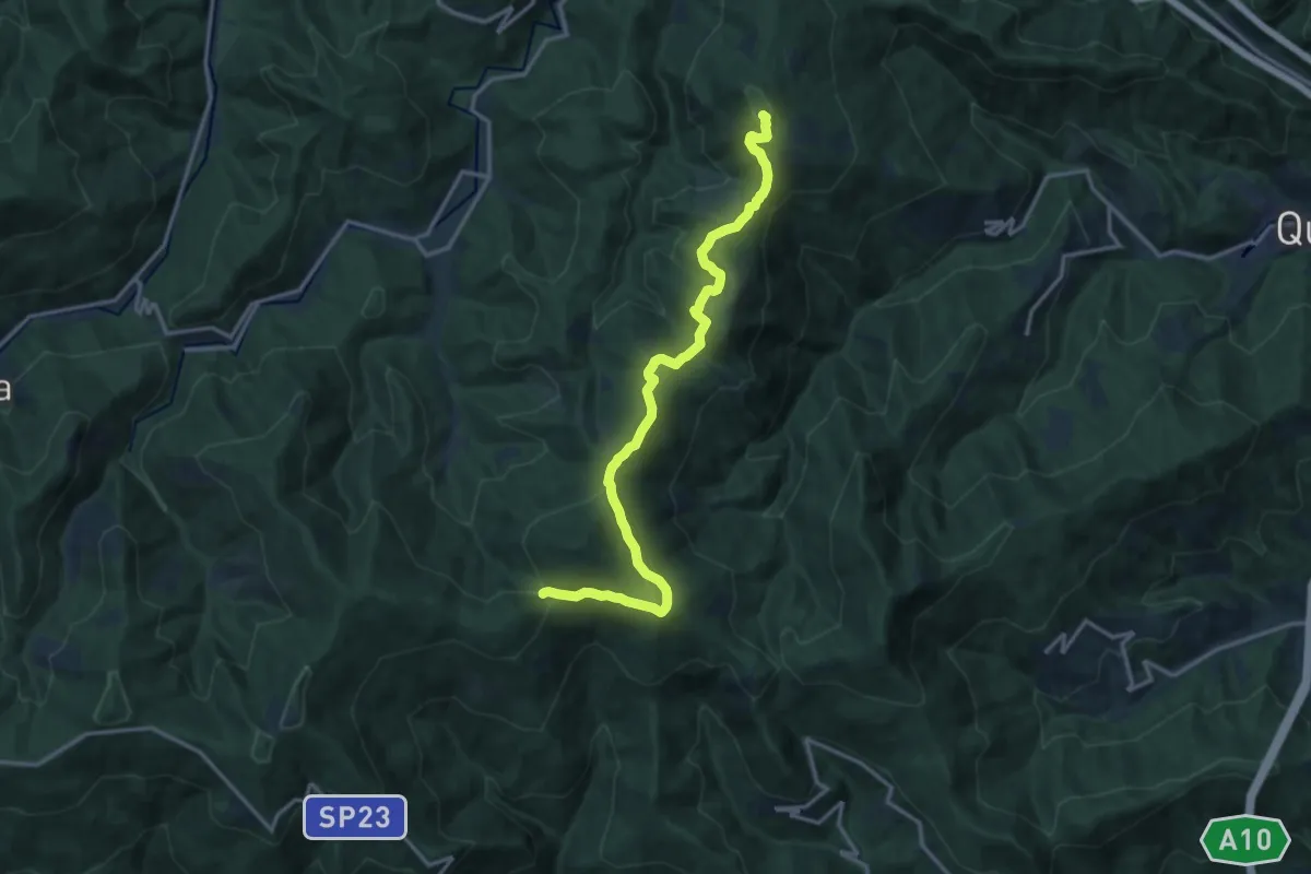
Medium · Summit
Colla di San Giacomo - Colle di Cadibona
15.9 km · ↑ 587 m · 5 h 2 min · 9 km away
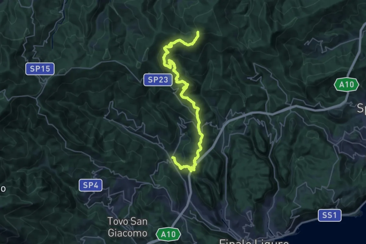
Medium · Trail
Calice Ligure - Colla di San Giacomo
13.5 km · ↑ 275 m · 4 h 20 min · 9 km away
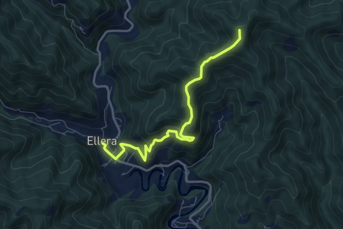
Medium · Summit
Luceto-Canavisse-Ellera
7.2 km · ↑ 497 m · 2 h 46 min · 9 km away
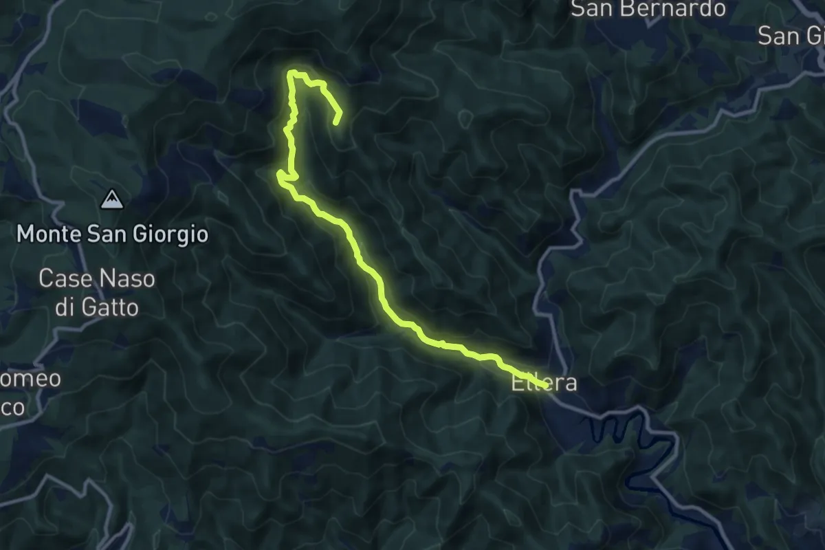
Medium · Summit
Ellera - Le Cercie - Arpetto - AV
11.1 km · ↑ 643 m · 4 h 1 min · 9 km away
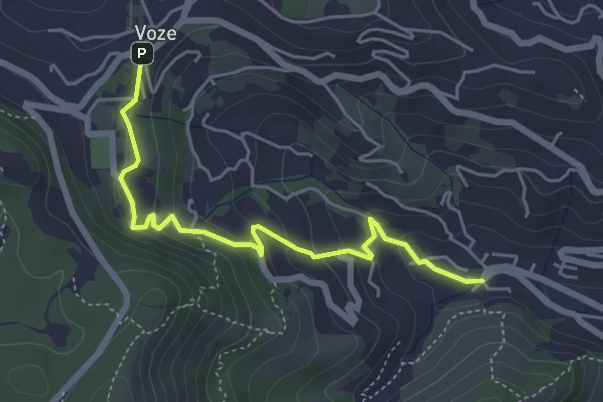
Easy · Trail
Noli - Luminella - Voze
4.5 km · ↑ 227 m · 1 h 33 min · 9 km away
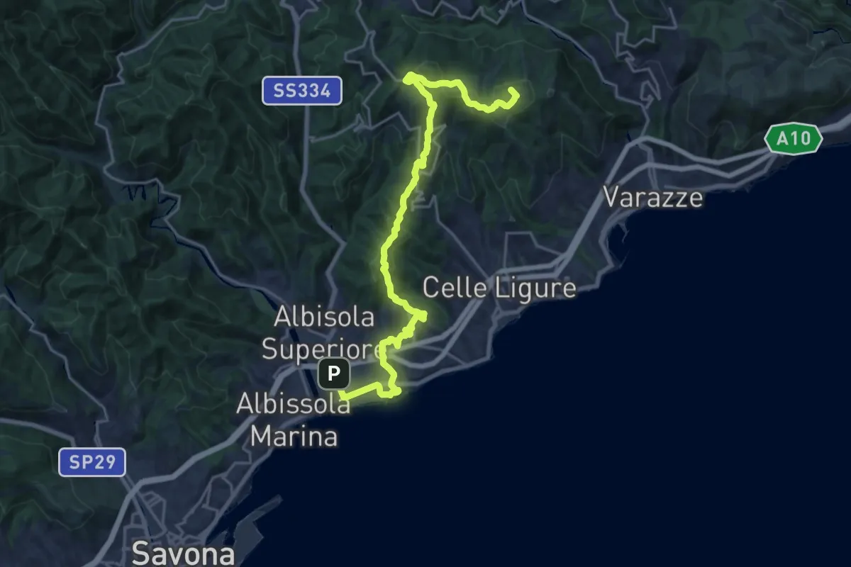
Demanding · Summit
Sentiero Liguria - Tappa 16
22.2 km · ↑ 704 m · 6 h 47 min · 9 km away
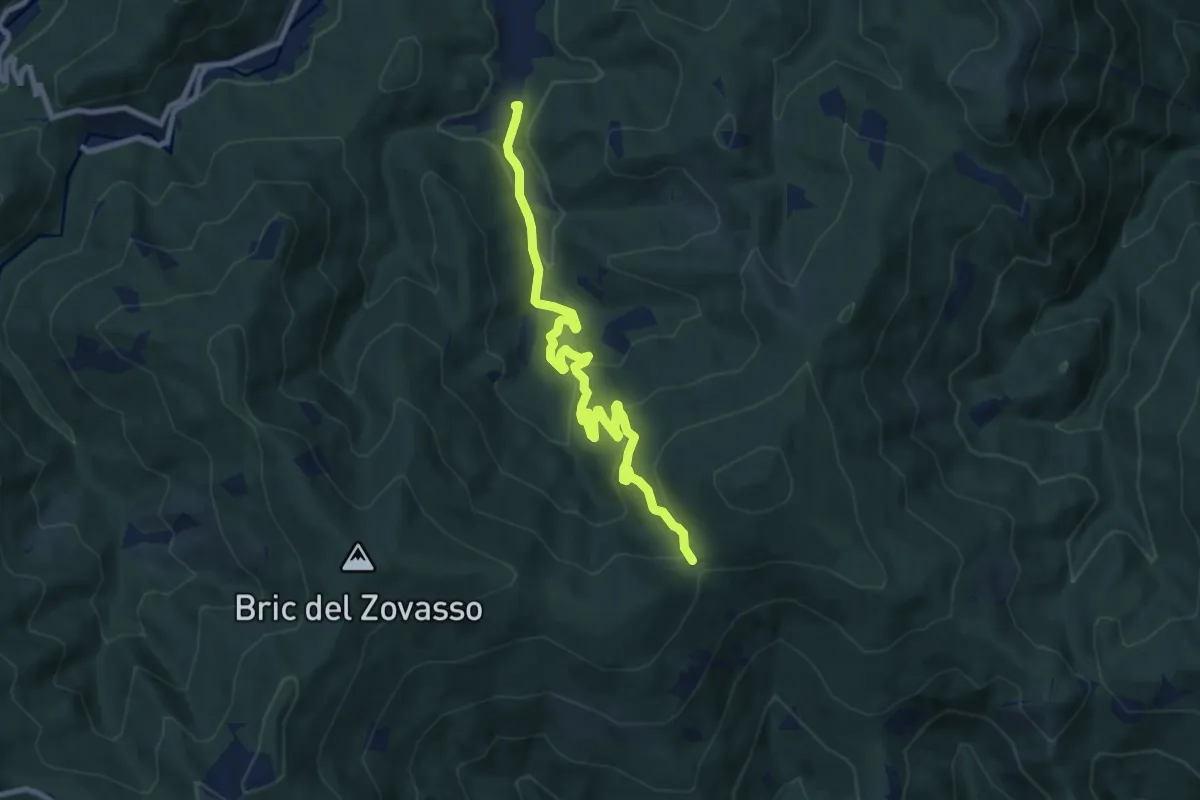
Medium · Trail
Mallare – Colla di San Giacomo
9.7 km · ↑ 374 m · 3 h 6 min · 9 km away
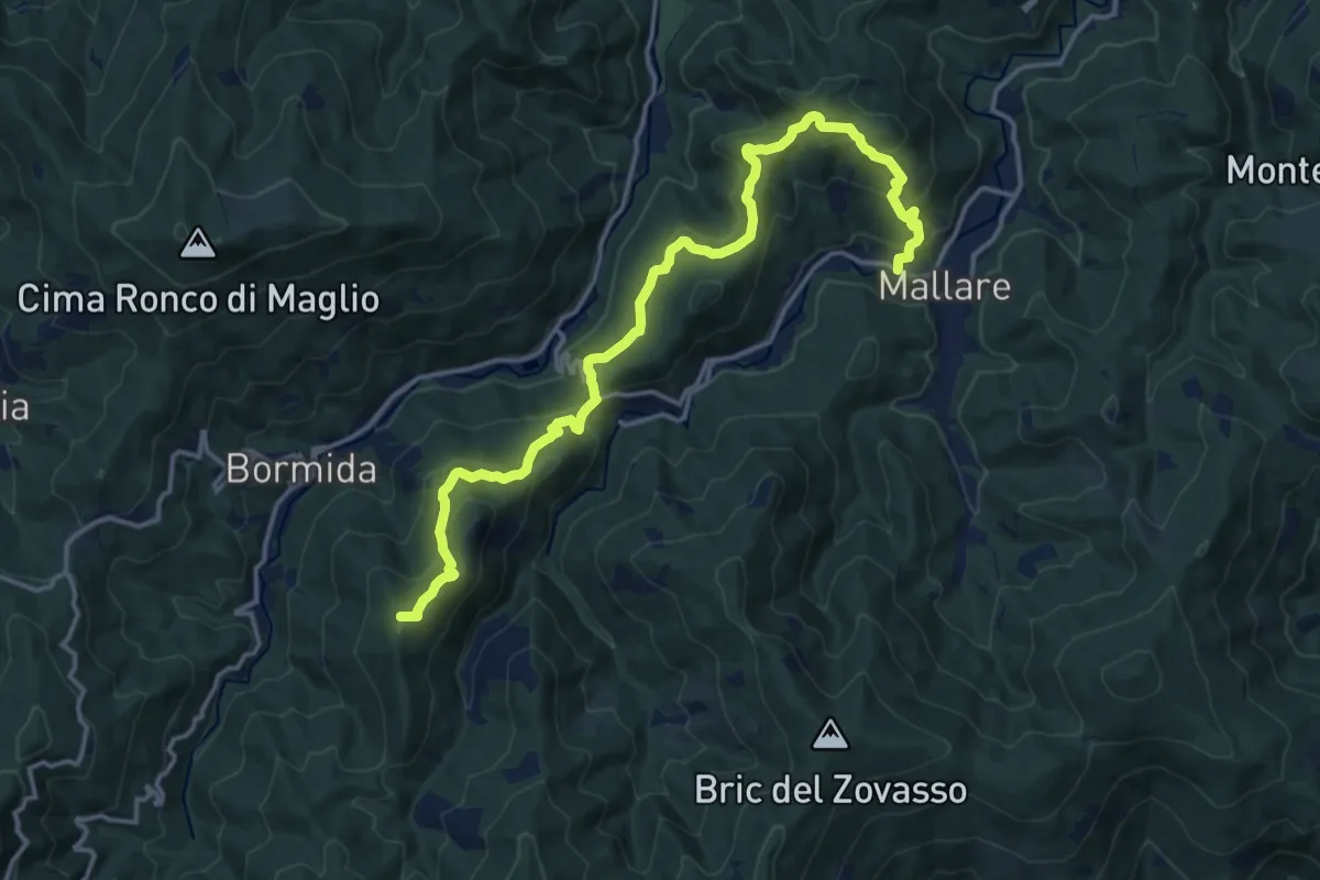
Demanding · Summit
Mallare - Colla del Bresca - Madonna della Neve
17.4 km · ↑ 864 m · 5 h 59 min · 10 km away
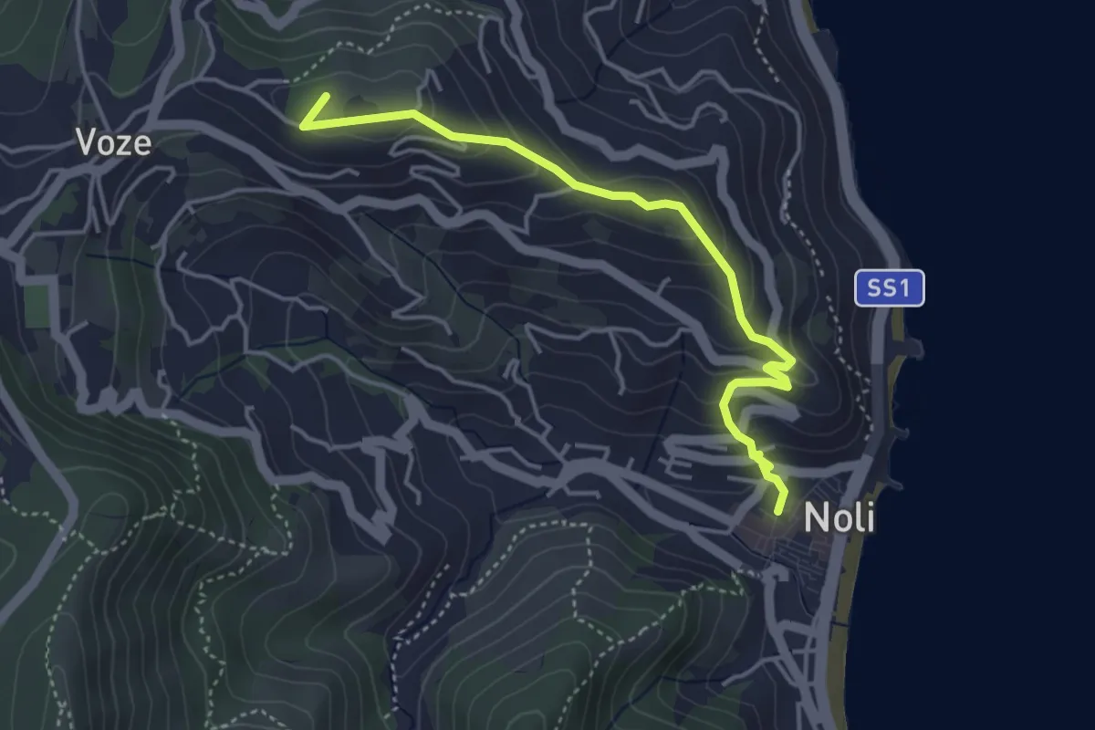
Easy · Summit
Noli, Castello, Bric Groppino, Voze
4.3 km · ↑ 225 m · 1 h 30 min · 10 km away
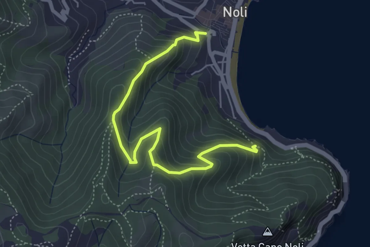
Medium · Trail
Sentiero Amico
5.4 km · ↑ 450 m · 2 h 15 min · 10 km away