Trails near Quiliano
116 hikes starting within 15 km, nearest first.
Nearest first, page 2 of 3
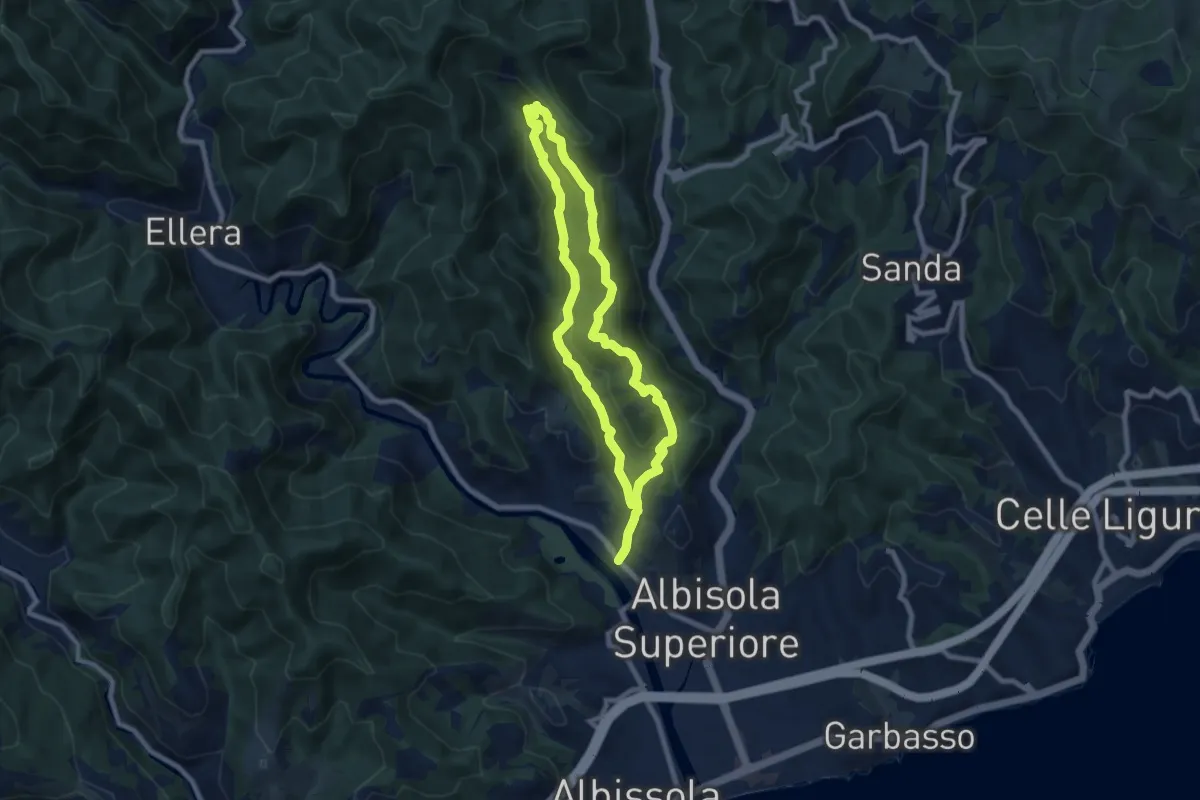
Medium · Summit
Luceto - Pian del Pero - Luceto
7.8 km · ↑ 331 m · 2 h 40 min · 10 km away
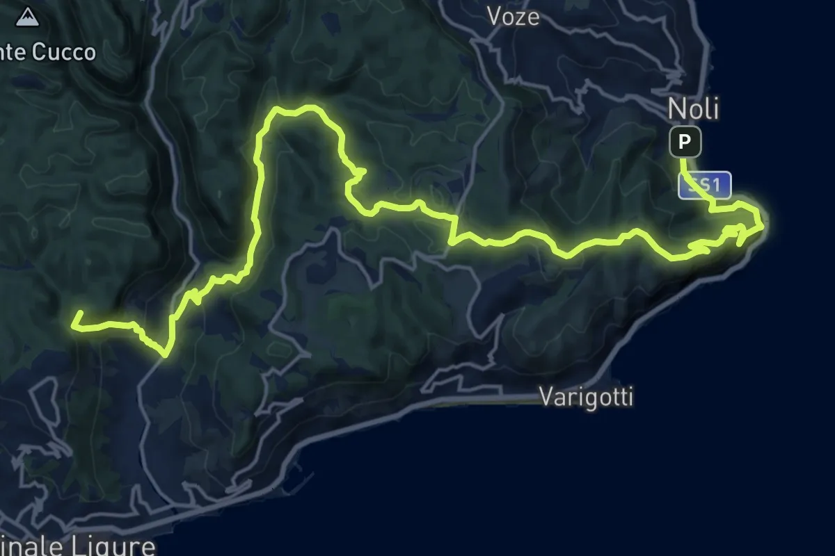
Demanding · Summit
Via della Costa - tappa 5
25.6 km · ↑ 1240 m · 8 h 44 min · 10 km away
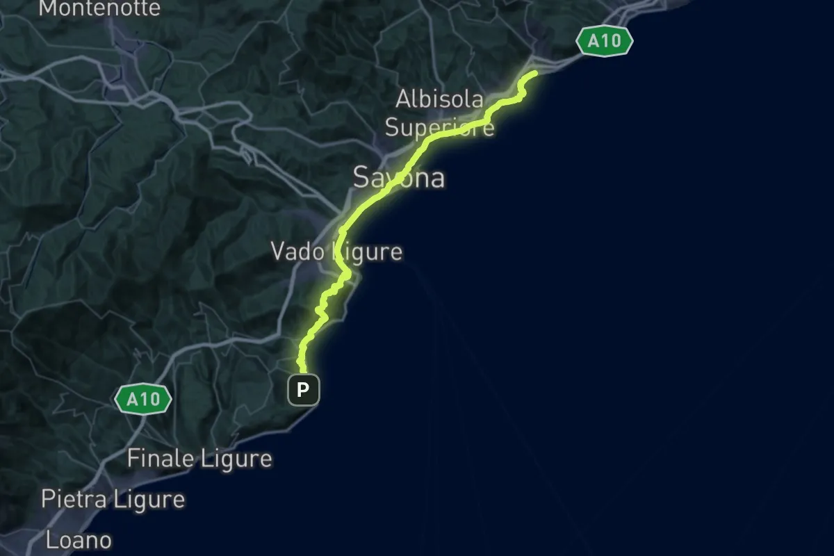
Demanding · Trail
Via della Costa - tappa 6
28.2 km · ↑ 677 m · 8 h 31 min · 10 km away
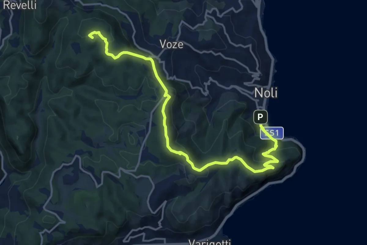
Medium · Summit
Noli – C. La Magnone
14.6 km · ↑ 678 m · 4 h 55 min · 10 km away
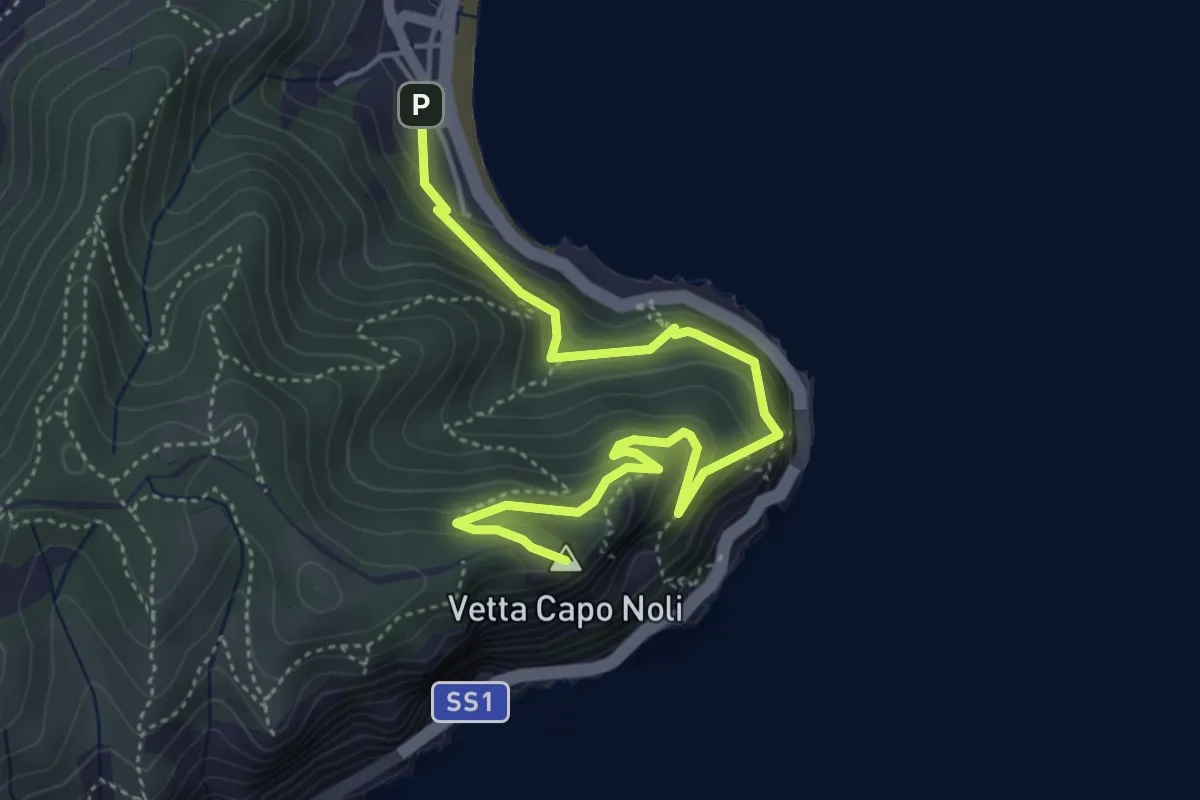
Medium · Summit
Noli – Capo Noli Vetta
5.4 km · ↑ 450 m · 2 h 15 min · 10 km away
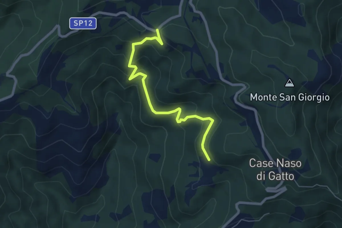
Easy · Trail
Gallina - Case Teggia - Case Bricco - Traversine
5.4 km · ↑ 317 m · 1 h 58 min · 10 km away
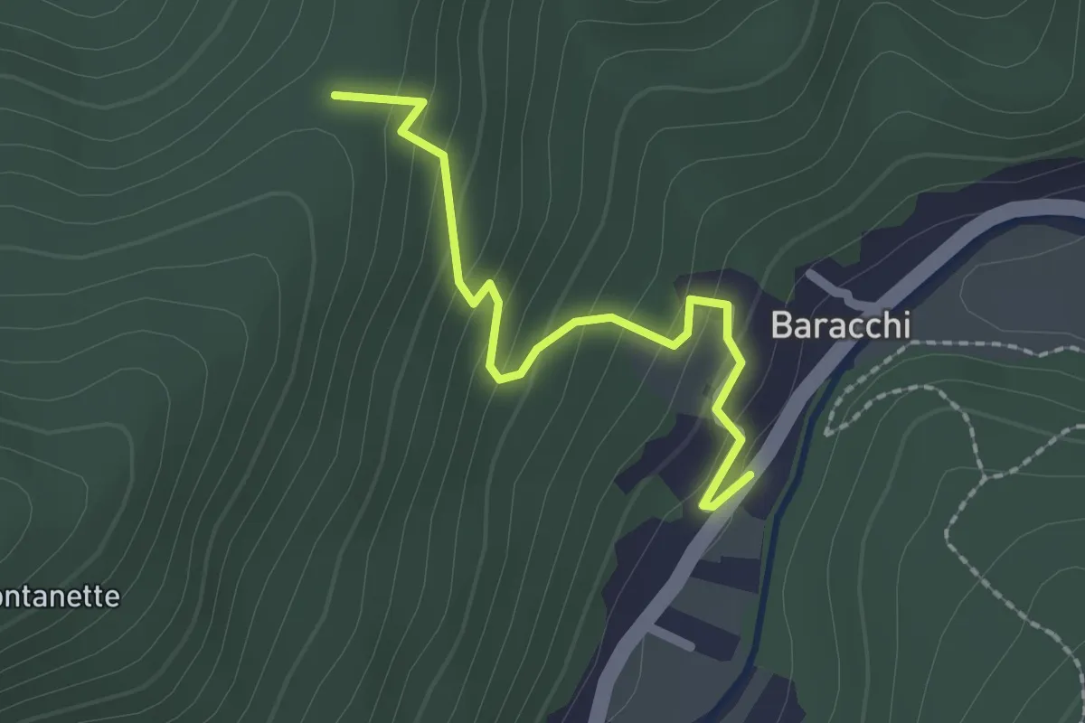
Easy · Trail
Baracchi – Colla La Costa
2.0 km · ↑ 141 m · 47 min · 10 km away
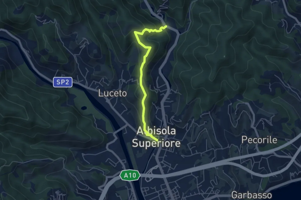
Medium · Summit
Chiesa di San Nicolò - Castellaro - Santuario della Pace
2.4 km · ↑ 134 m · 54 min · 10 km away
Medium · Summit
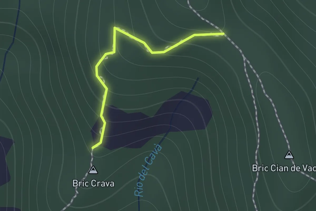
Collegamento Magrania
0.9 km · ↑ 83 m · 23 min · 10 km away
Easy · Trail
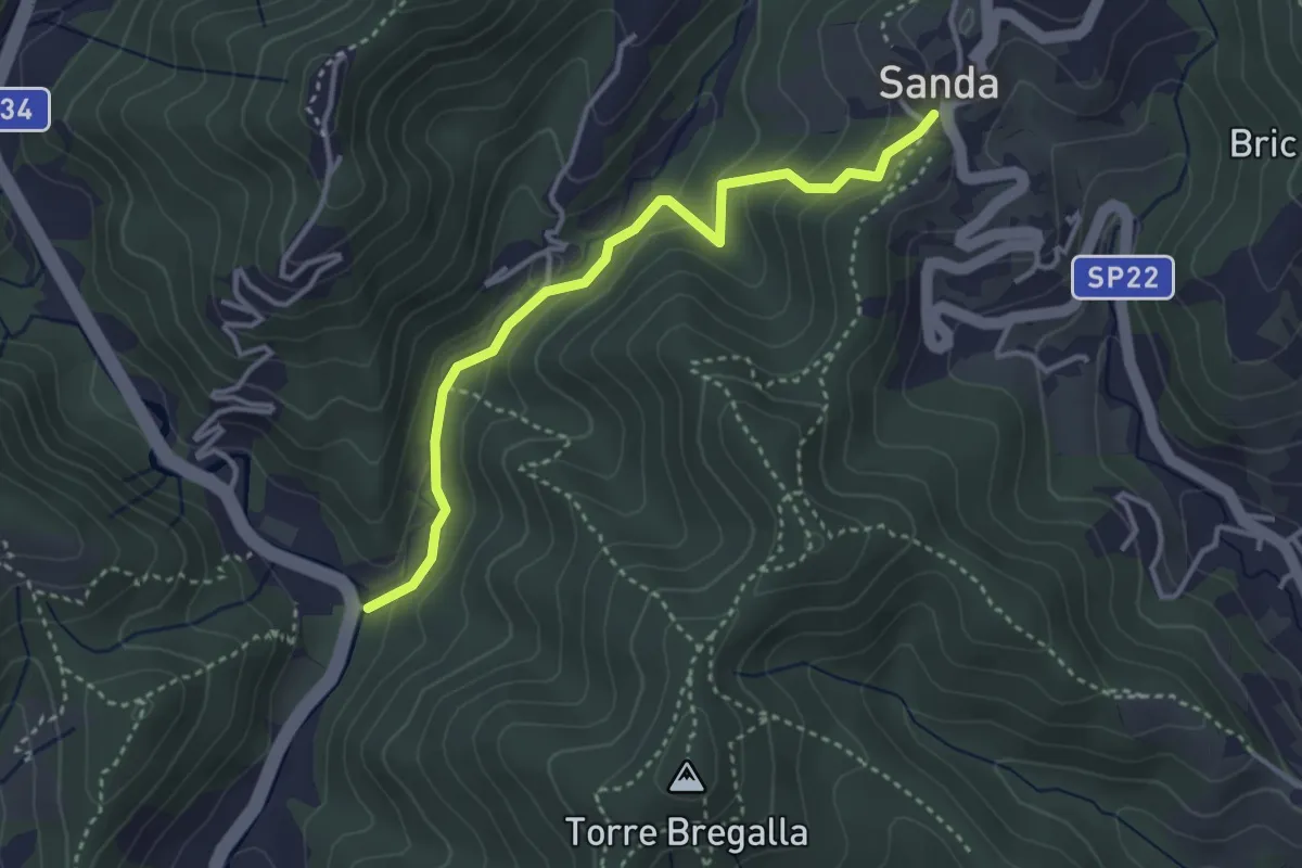
Santuario della Pace - Remenone - Sanda
3.6 km · ↑ 192 m · 1 h 16 min · 10 km away
Demanding · Summit
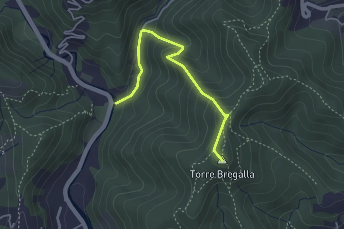
Albisola - Via dei Siri - Torre Bregalla - Strada Santuario della Pace
3.3 km · ↑ 215 m · 1 h 15 min · 10 km away
Demanding · Summit
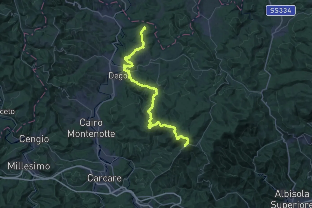
Bormida Natura - Tappa 1
45.4 km · ↑ 1574 m · 14 h 8 min · 10 km away
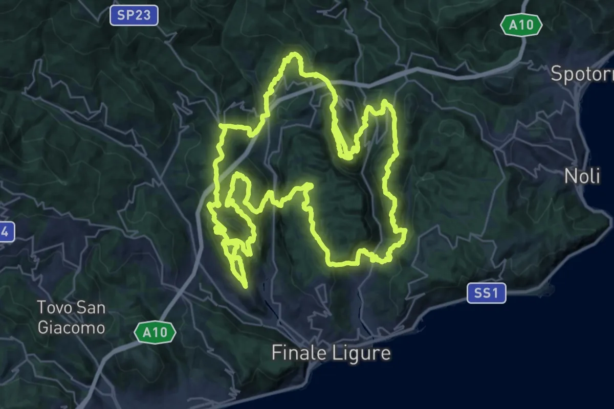
Demanding · Summit
Sentiero Ermano Fossati
33.1 km · ↑ 2005 m · 12 h 35 min · 10 km away
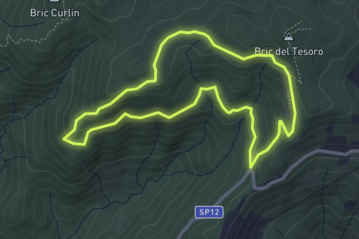
Medium · Summit
Adelasia - Sentiero 1
4.6 km · ↑ 230 m · 1 h 40 min · 11 km away
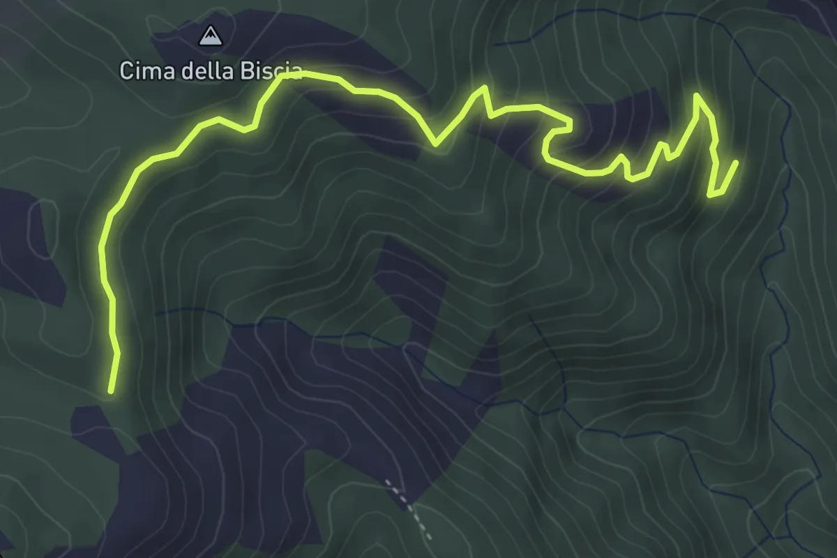
Medium · Trail
Le Cercie - Passo San Giorgio
5.7 km · ↑ 386 m · 2 h 11 min · 11 km away
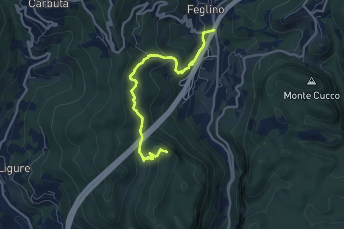
Medium · Summit
Feglino - Bric del Frate
6.3 km · ↑ 295 m · 2 h 7 min · 11 km away
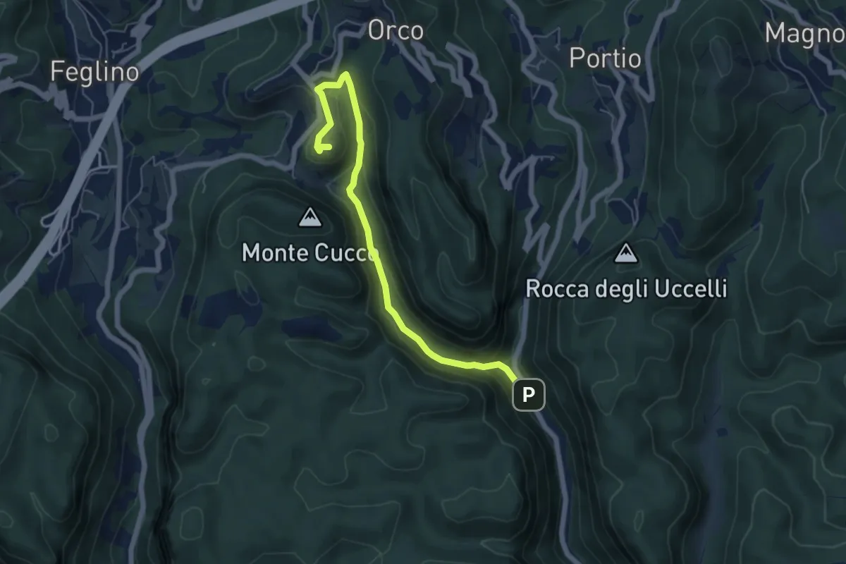
Demanding · Trail
Ponte Cornei – San Lorenzino
5.9 km · ↑ 278 m · 1 h 59 min · 11 km away
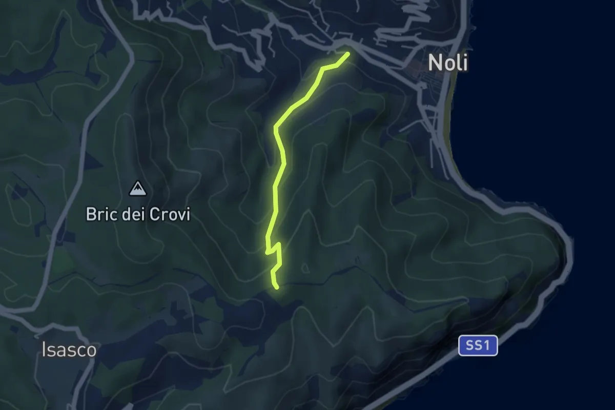
Easy · Trail
Sentiero Acquaviva
3.3 km · ↑ 242 m · 1 h 19 min · 11 km away
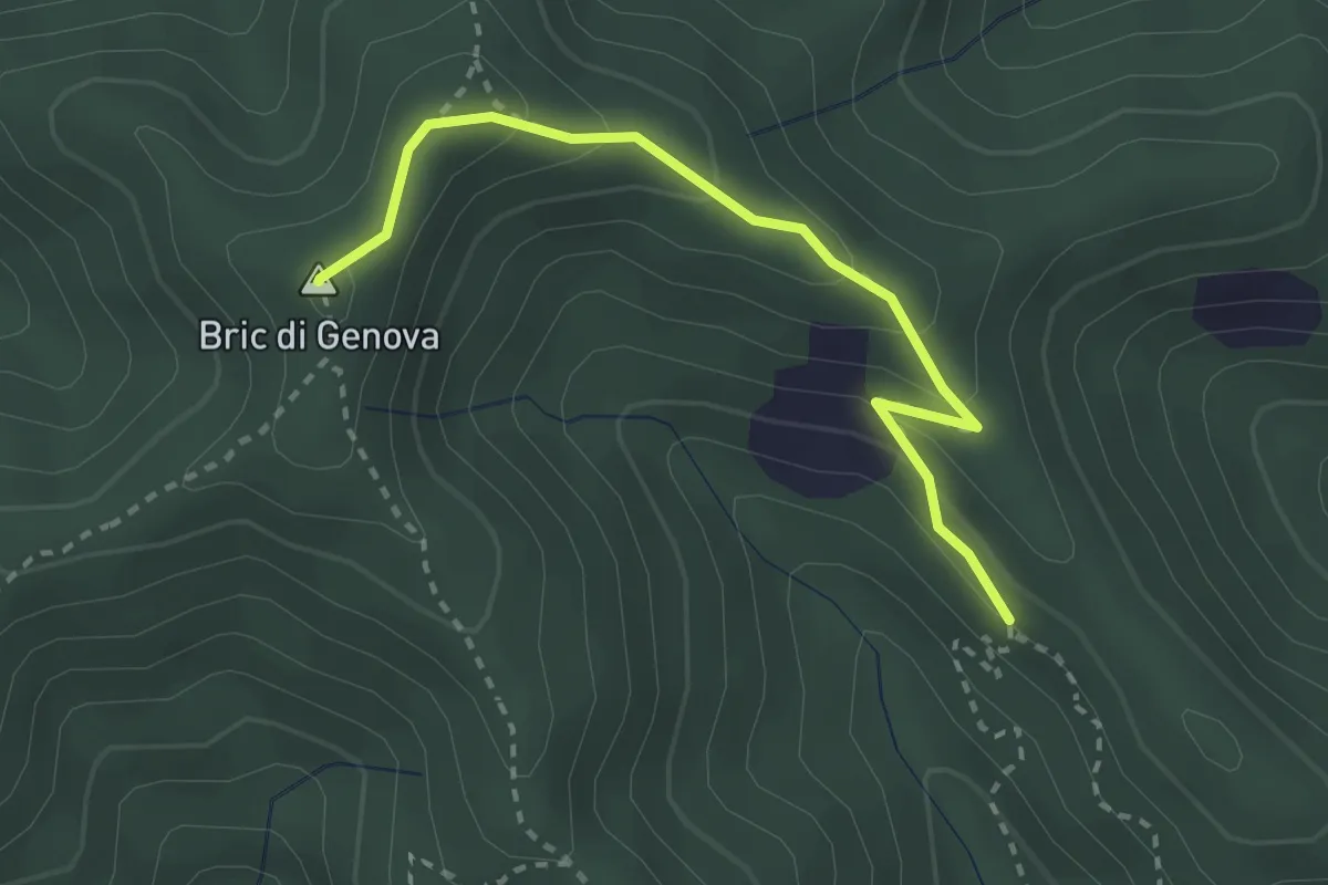
Easy · Summit
Collegamento Bric Genova
2.9 km · ↑ 165 m · 1 h 2 min · 11 km away
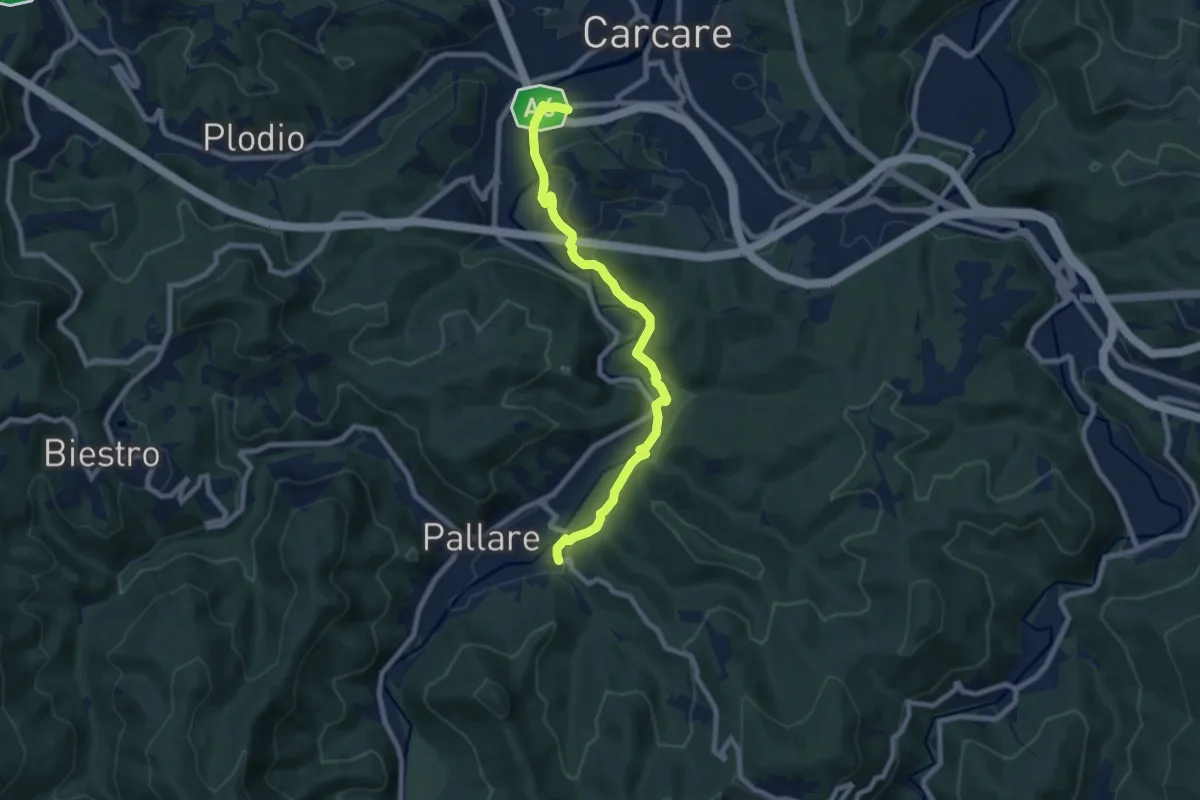
Medium · Trail
Antico cammino Pallare-Carcare
8.5 km · ↑ 162 m · 2 h 21 min · 11 km away
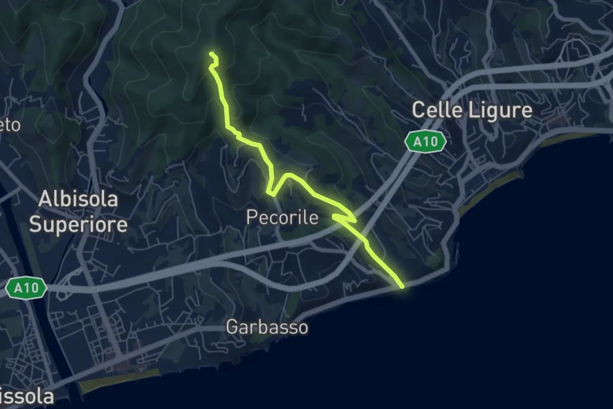
Demanding · Summit
Roglio - Torre del Bregalla
5.8 km · ↑ 254 m · 1 h 55 min · 11 km away
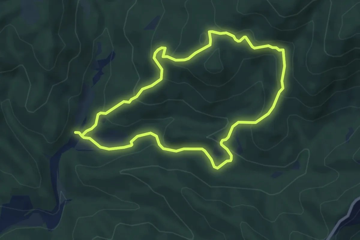
Easy · Summit
Adelasia - Sentiero 2
5.4 km · ↑ 251 m · 1 h 53 min · 11 km away
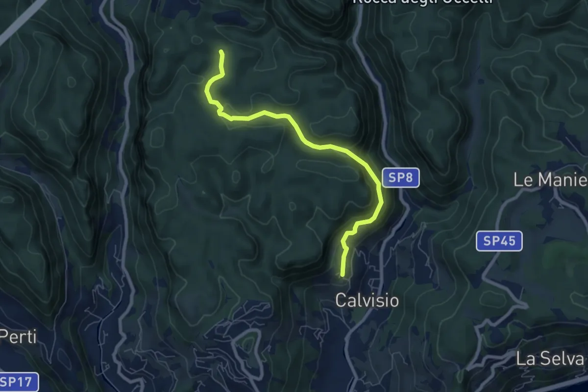
Medium · Trail
Calvisio – Ciappo Dei Ceci
6.9 km · ↑ 327 m · 2 h 20 min · 11 km away
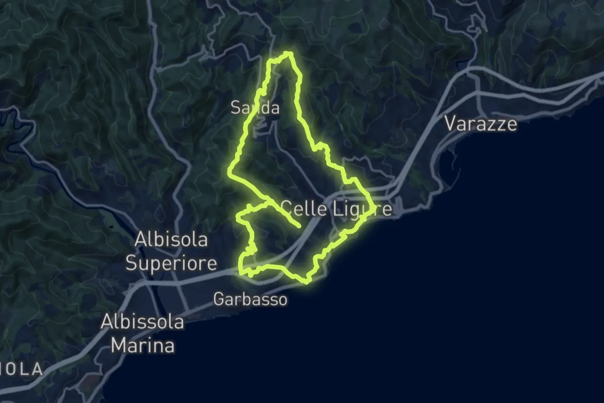
Medium · Summit
Anello delle 7 Chiese
14.1 km · ↑ 534 m · 4 h 40 min · 11 km away
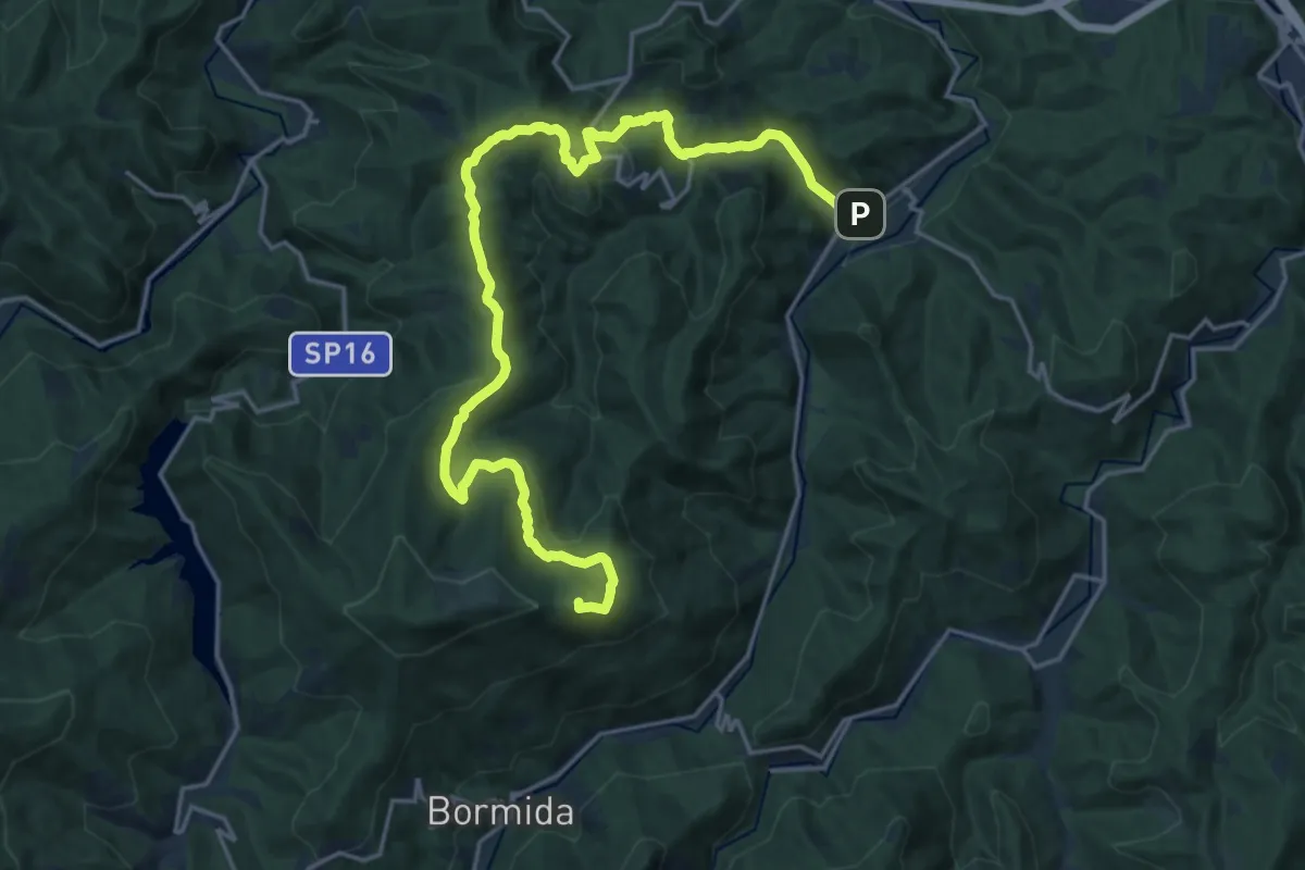
Demanding · Summit
Pallare – Tetto Vecchio
23.6 km · ↑ 791 m · 7 h 18 min · 12 km away
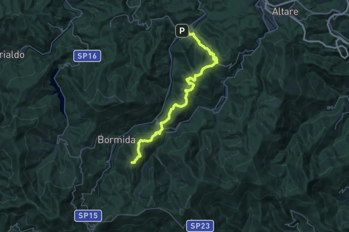
Demanding · Summit
C. Prato – Pallare
25.0 km · ↑ 1052 m · 8 h 10 min · 12 km away
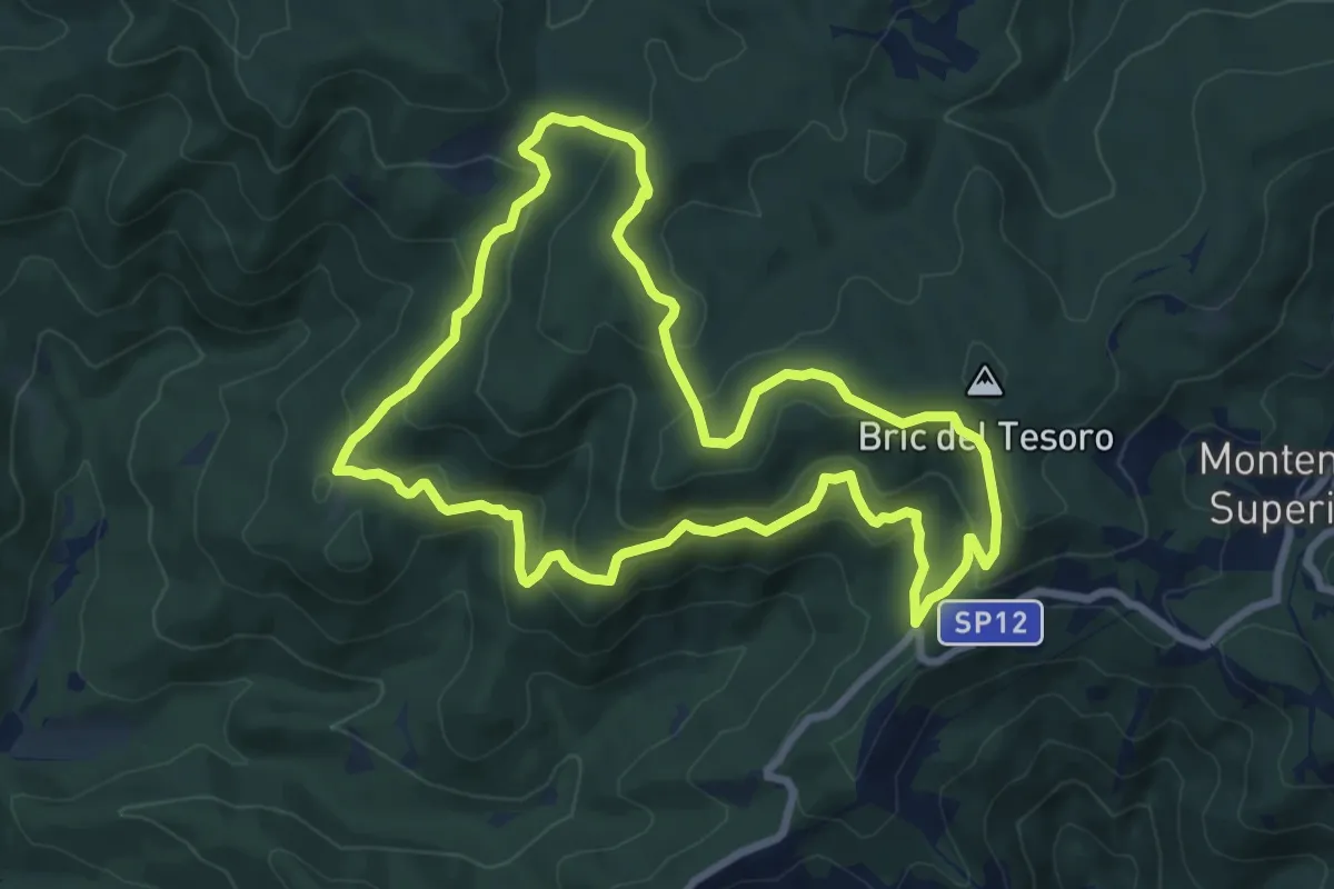
Medium · Summit
Adelasia - Sentiero Airone
8.2 km · ↑ 356 m · 2 h 49 min · 12 km away
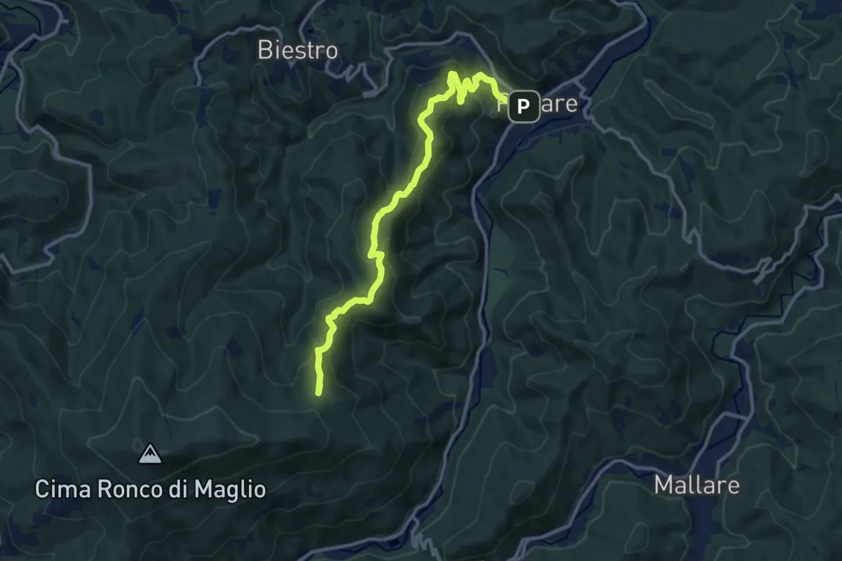
Medium · Summit
Pallare - Ronco di Maglio
12.2 km · ↑ 667 m · 4 h 20 min · 12 km away
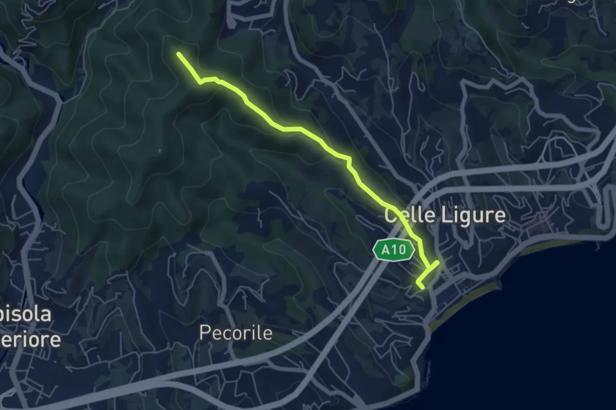
Easy · Summit
Stazione FS – Bric Croi
5.2 km · ↑ 240 m · 1 h 44 min · 12 km away
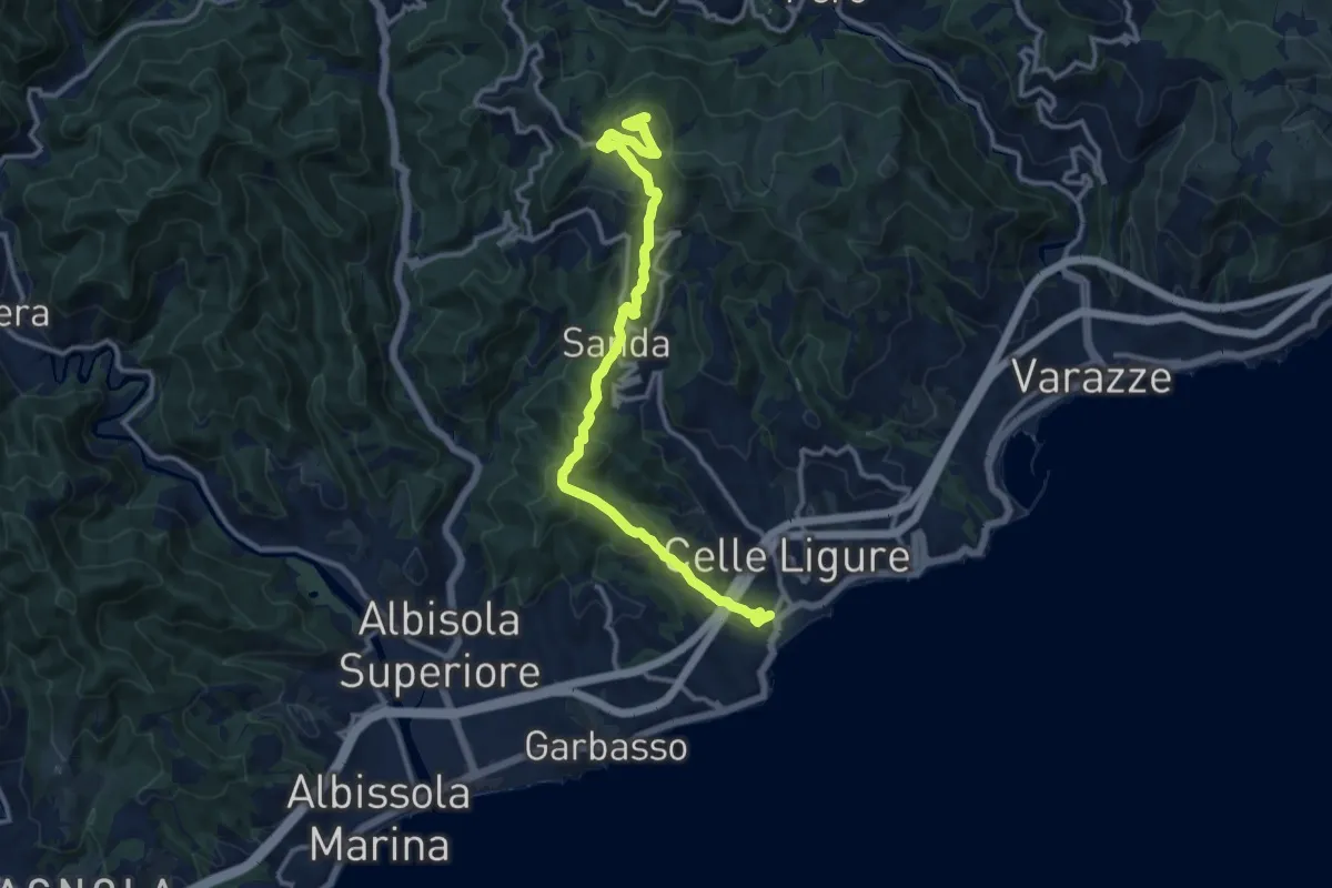
Medium · Summit
Celle Ligure - Sanda - Bric delle Forche
13.5 km · ↑ 566 m · 4 h 24 min · 12 km away
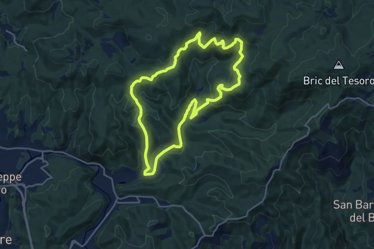
Medium · Summit
Adelasia Trail
11.6 km · ↑ 458 m · 3 h 53 min · 12 km away
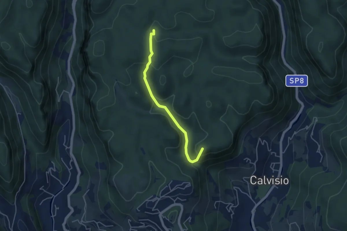
Easy · Summit
Calvisio – Casa Del Vacchè
3.8 km · ↑ 252 m · 1 h 26 min · 12 km away
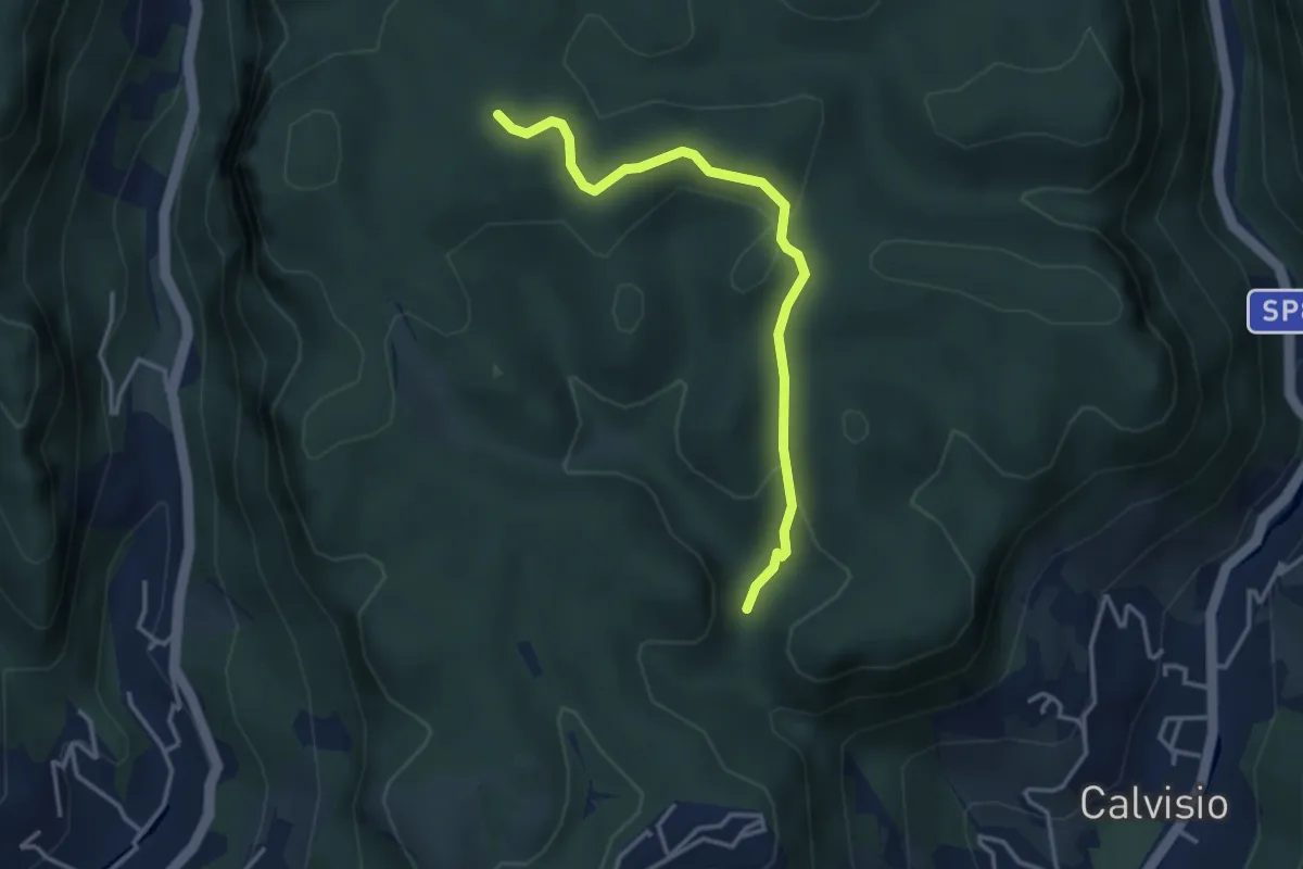
Easy · Trail
Quota 2000 – S. Lorenzino
3.6 km · ↑ 120 m · 1 h 7 min · 12 km away
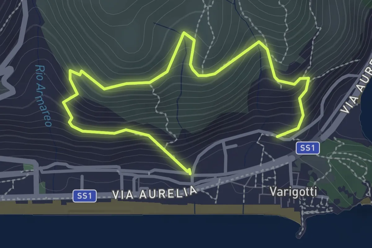
Medium · Trail
Sentiero Balcone sul Mare
3.9 km · ↑ 343 m · 1 h 40 min · 12 km away
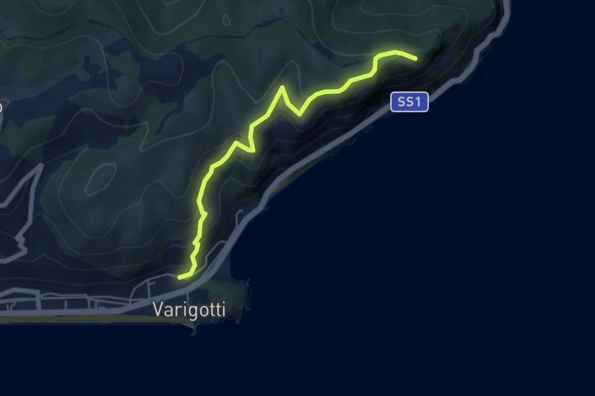
Medium · Summit
Sentiero del Pellegrino
4.6 km · ↑ 322 m · 1 h 48 min · 12 km away
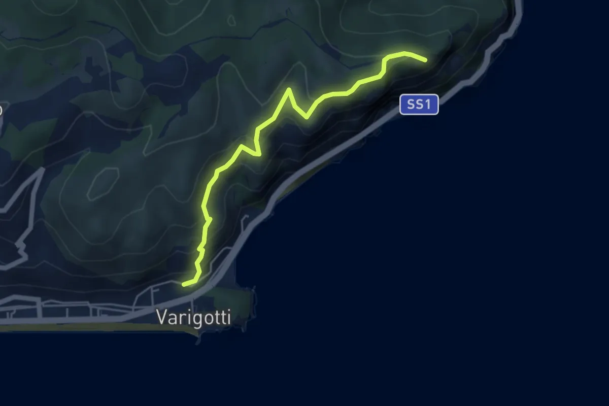
Medium · Summit
Varigotti – Capo Noli Vetta
4.6 km · ↑ 322 m · 1 h 48 min · 12 km away
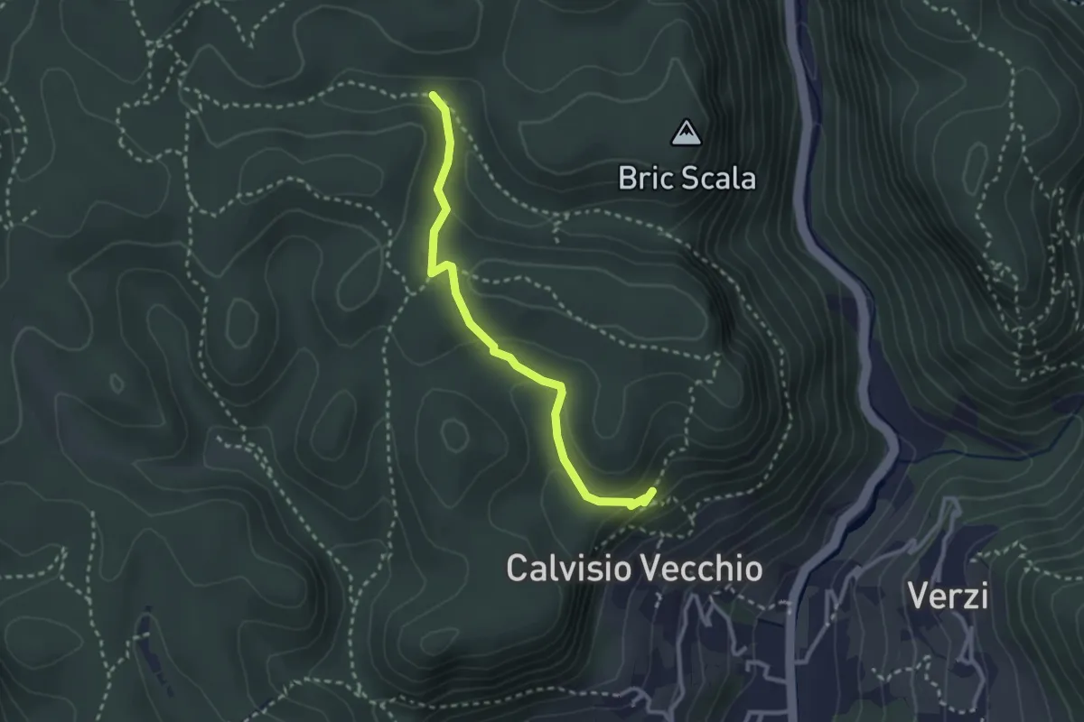
Medium · Trail
Collegamento Calvisio-Camporotondo
2.8 km · ↑ 102 m · 53 min · 12 km away
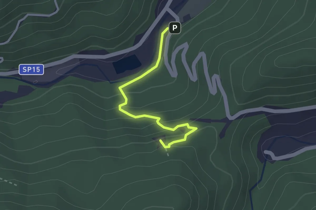
Demanding · Summit
Romana - Rocca Tavana
2.5 km · ↑ 154 m · 56 min · 12 km away
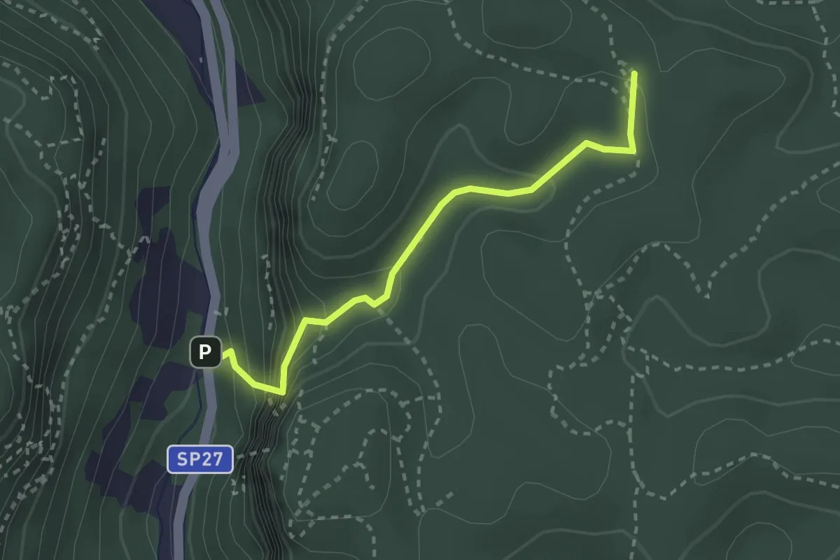
Medium · Trail
Madonna delle Grazie - Ciappo dei Ceci
2.7 km · ↑ 216 m · 1 h 6 min · 12 km away
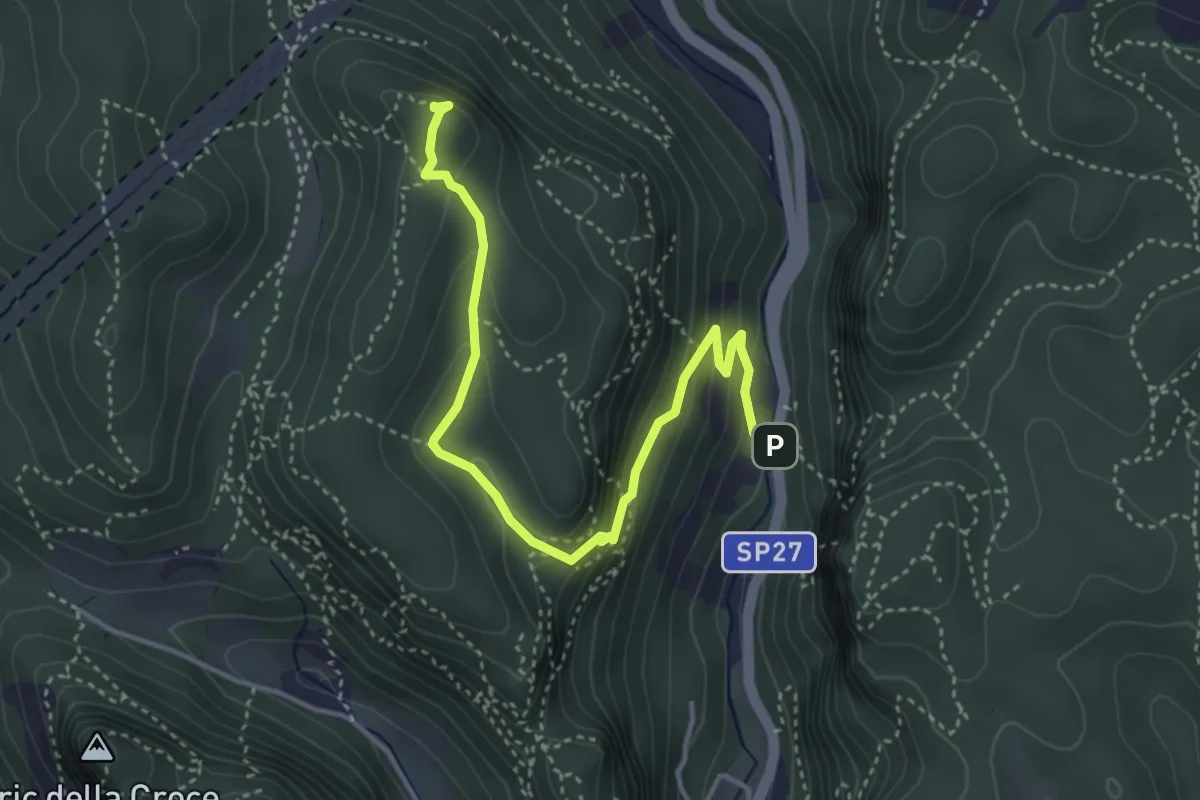
Demanding · Summit
Madonna delle Grazie - Bric del Frate
4.5 km · ↑ 266 m · 1 h 38 min · 12 km away
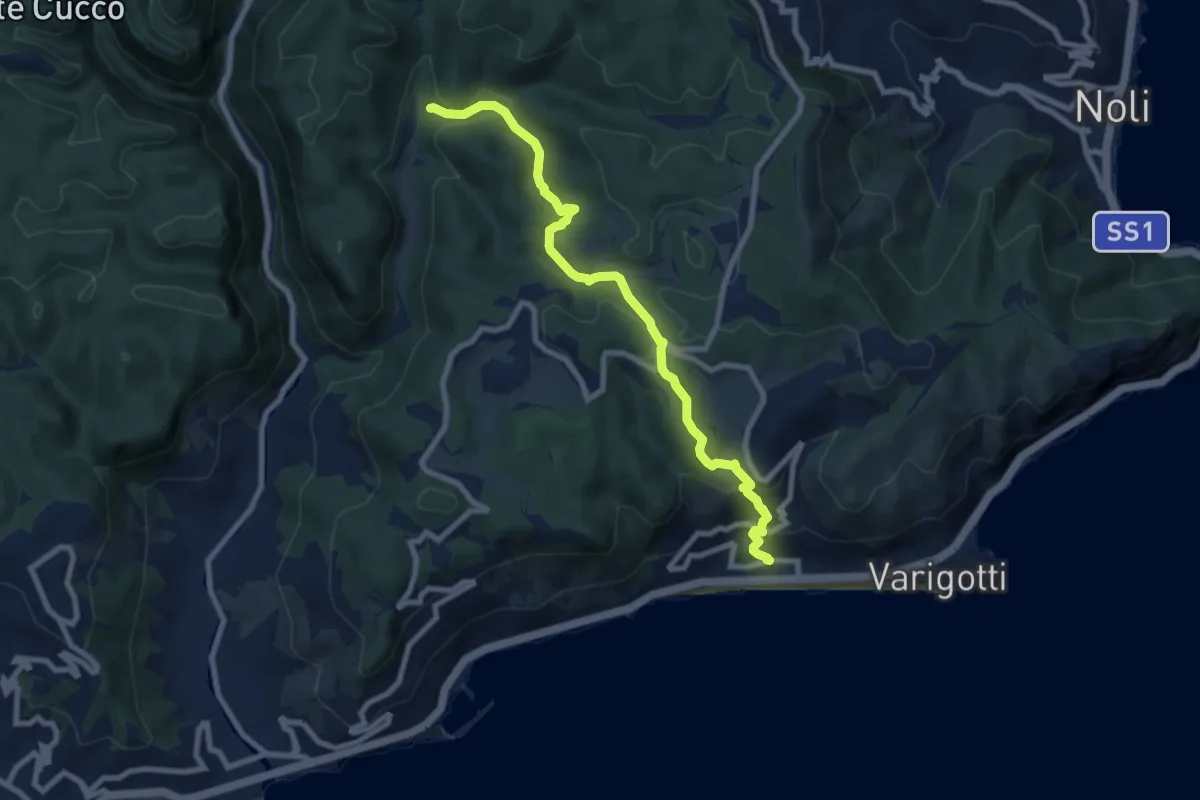
Medium · Trail
Varigotti - Manie
8.7 km · ↑ 406 m · 2 h 55 min · 12 km away
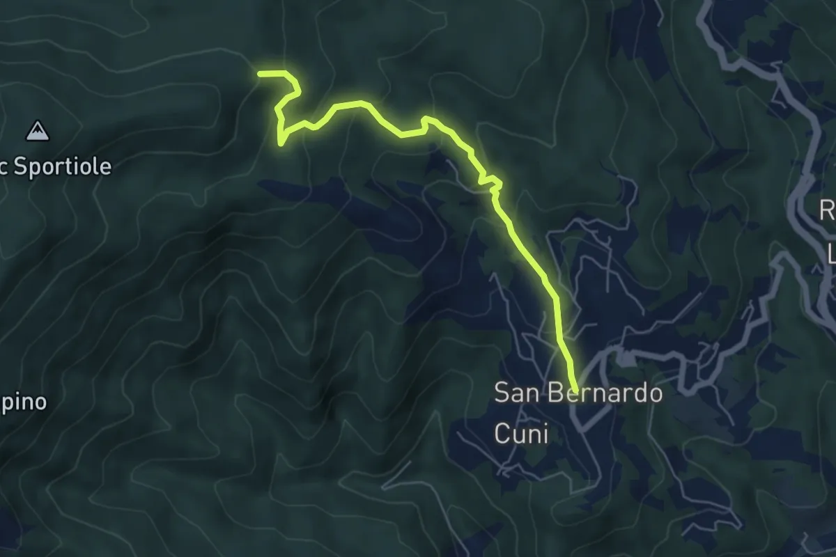
Medium · Summit
Corona - Sella Burain
5.8 km · ↑ 394 m · 2 h 14 min · 13 km away
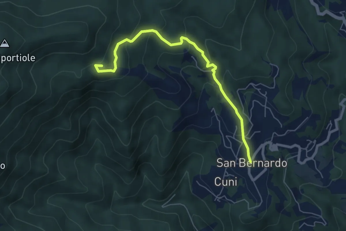
Medium · Summit
Corona - Pian Nefosse - Bonomo
5.8 km · ↑ 347 m · 2 h 8 min · 13 km away
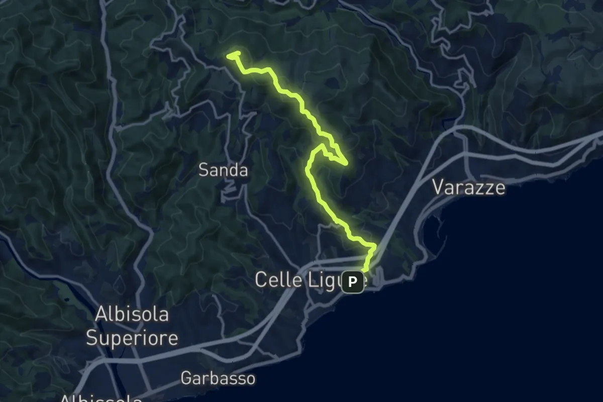
Medium · Summit
Celle Ligure - Bric delle Forche
13.1 km · ↑ 625 m · 4 h 27 min · 13 km away
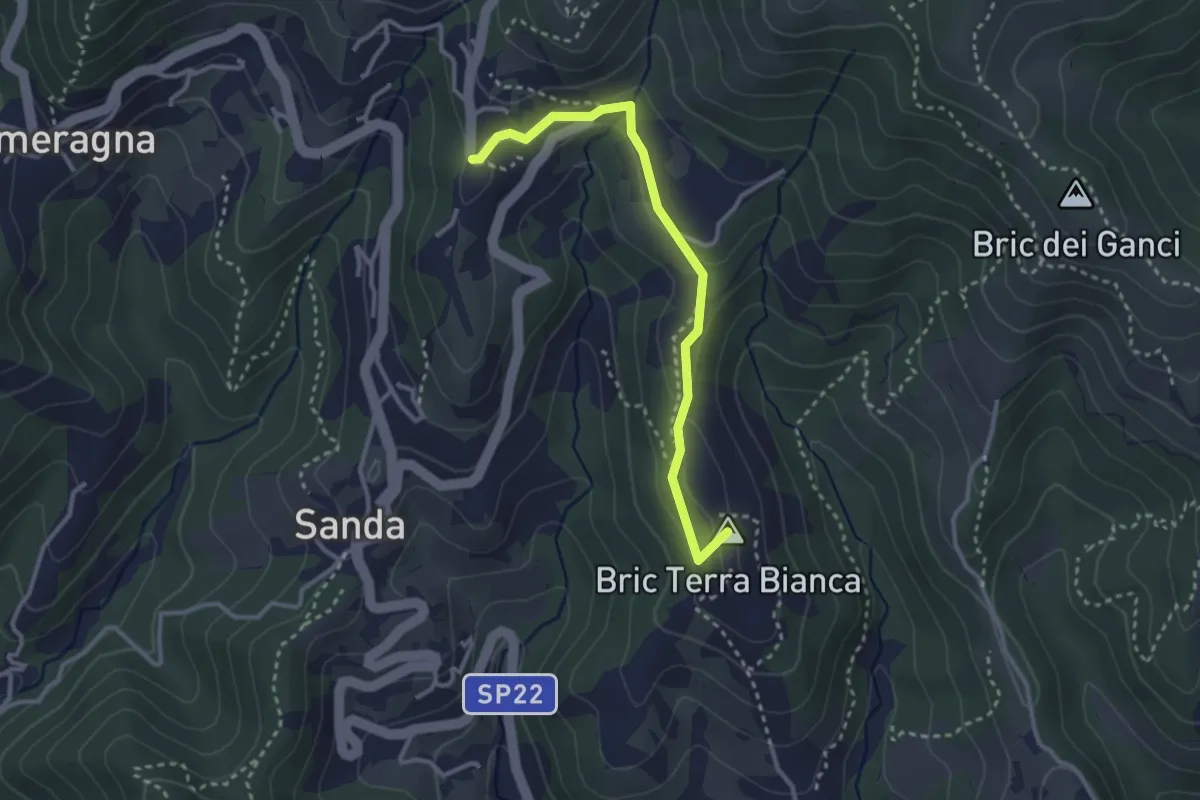
Easy · Summit
Celle Ligure - Brasi - Vespa
3.1 km · ↑ 79 m · 54 min · 13 km away
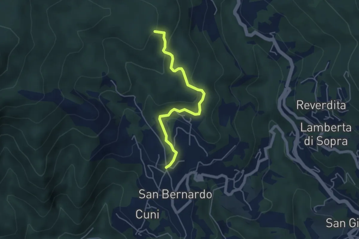
Easy · Summit
San Bernardo - Giovo
4.1 km · ↑ 177 m · 1 h 22 min · 13 km away
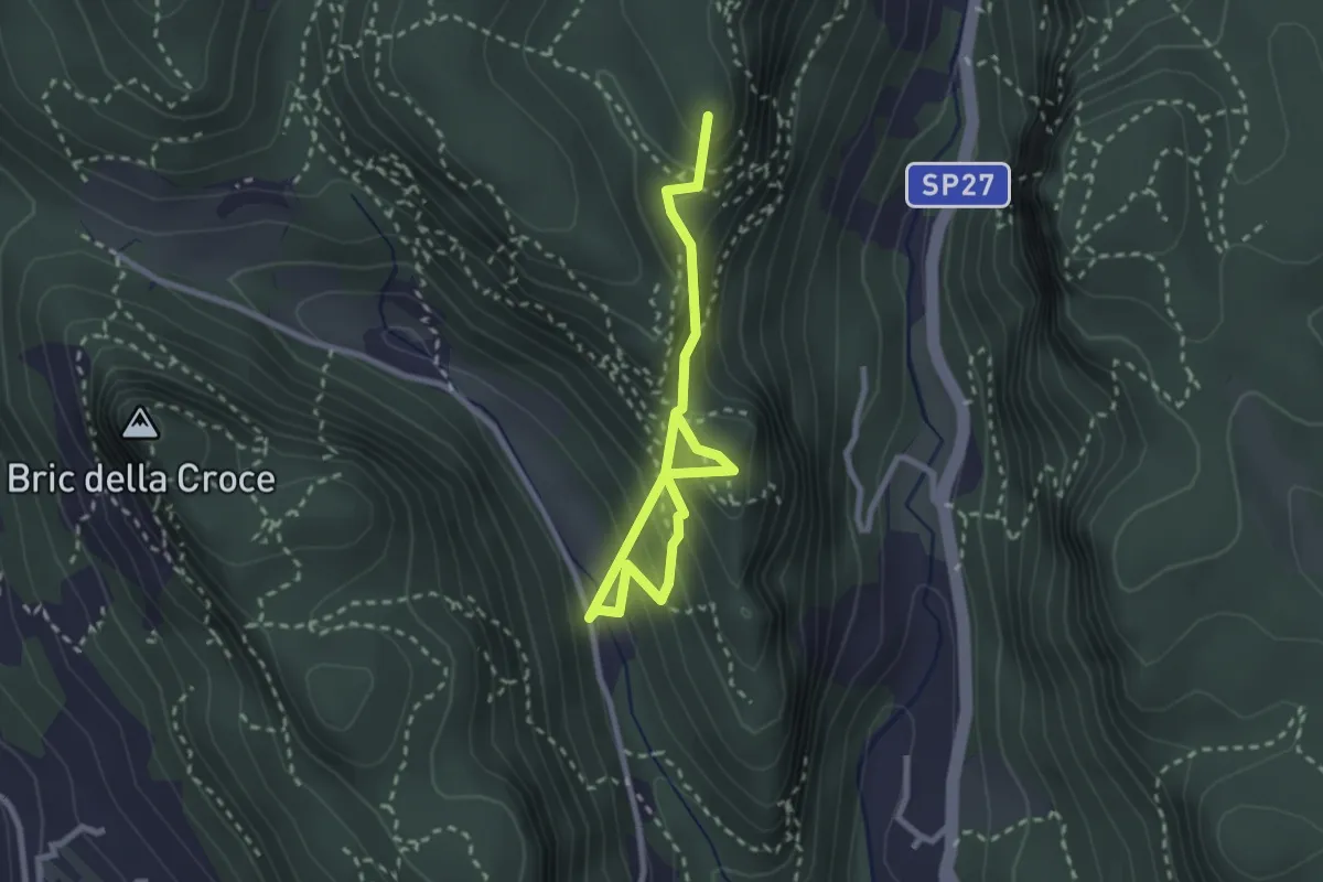
Medium · Summit
Case Valle - Castrum Perticae - Sant'Antonino - Frati
3.2 km · ↑ 252 m · 1 h 19 min · 13 km away
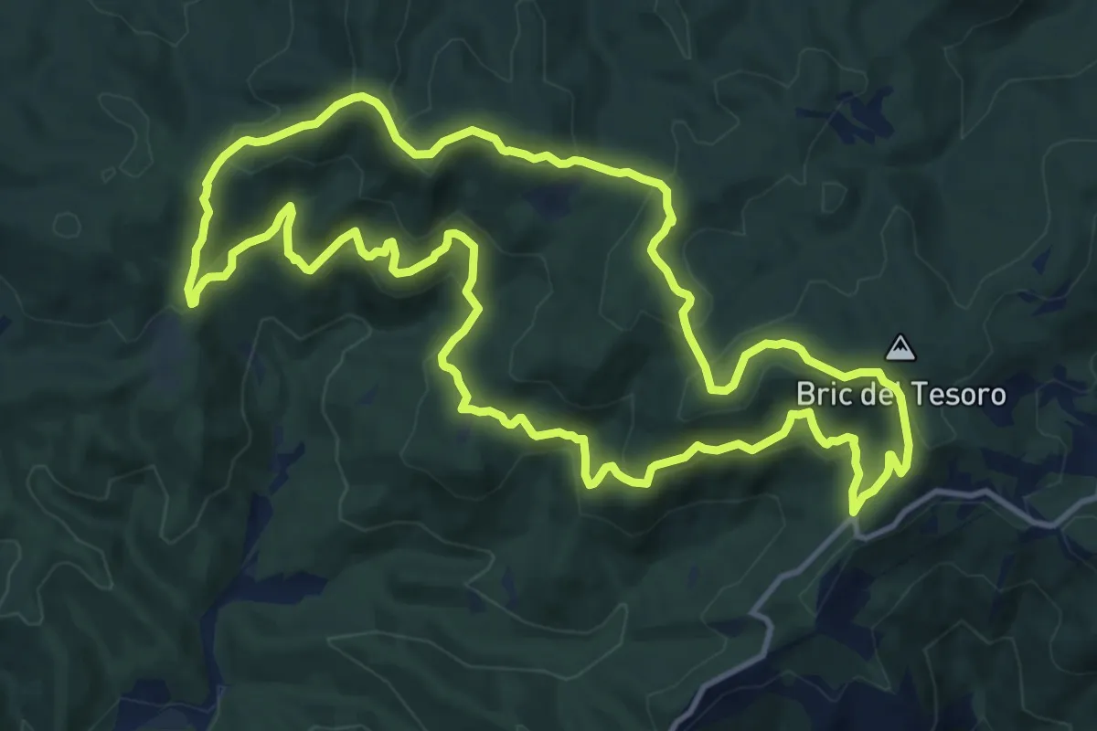
Medium · Summit
Adelasia - Sentiero 3
13.1 km · ↑ 614 m · 4 h 37 min · 13 km away