Trails near Quiliano
116 hikes starting within 15 km, nearest first.
Nearest first, page 3 of 3
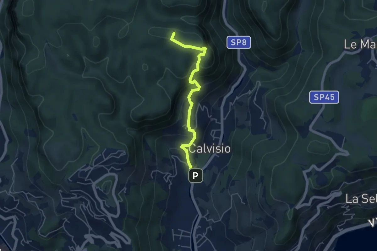
Medium · Summit
Calvisio - Camporotondo
4.4 km · ↑ 339 m · 1 h 46 min · 13 km away
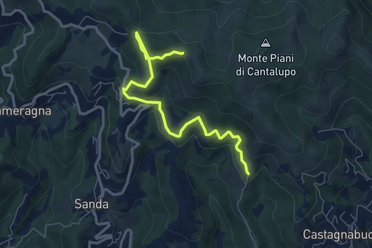
Easy · Trail
Variante Bassa Due Quadrati Rossi
6.7 km · ↑ 308 m · 2 h 15 min · 13 km away
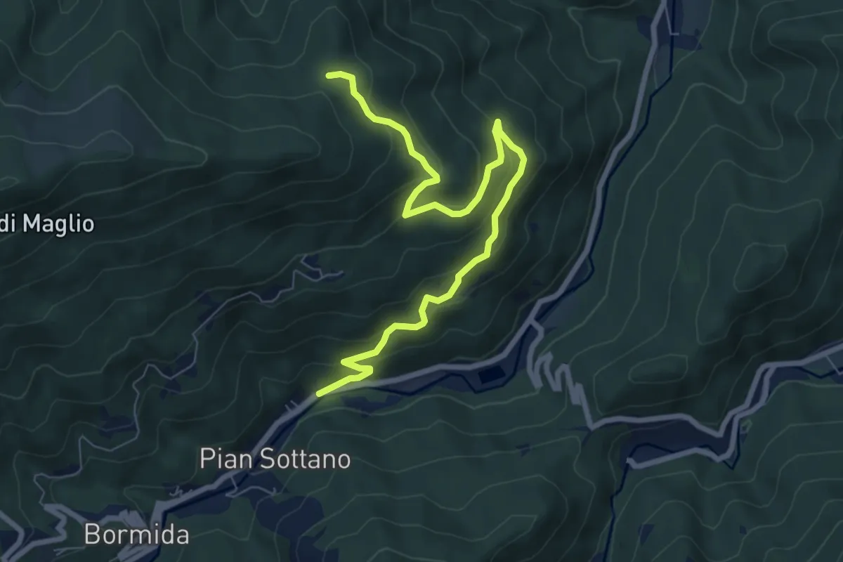
Medium · Trail
Pian Sottano – Tre Abeti
8.3 km · ↑ 423 m · 2 h 53 min · 13 km away
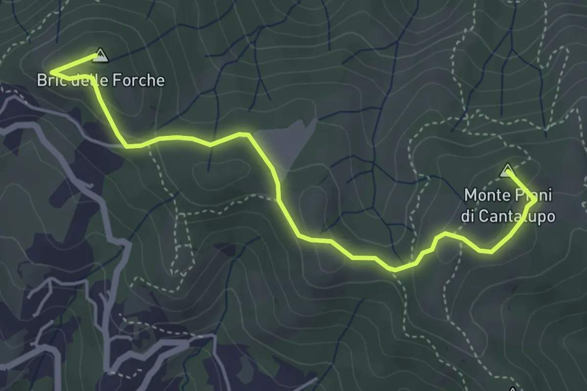
Medium · Summit
Varazze - Cantalupo - Bric delle Forche
4.8 km · ↑ 170 m · 1 h 30 min · 13 km away
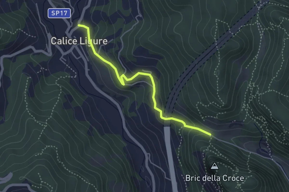
Easy · Trail
Calice Ligure - Cianassi
3.9 km · ↑ 189 m · 1 h 20 min · 13 km away
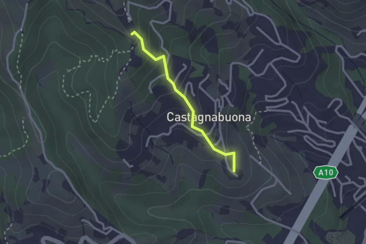
Easy · Summit
Varazze - Castagnabuona - Croce di Castagnabuona
1.9 km · ↑ 141 m · 45 min · 14 km away
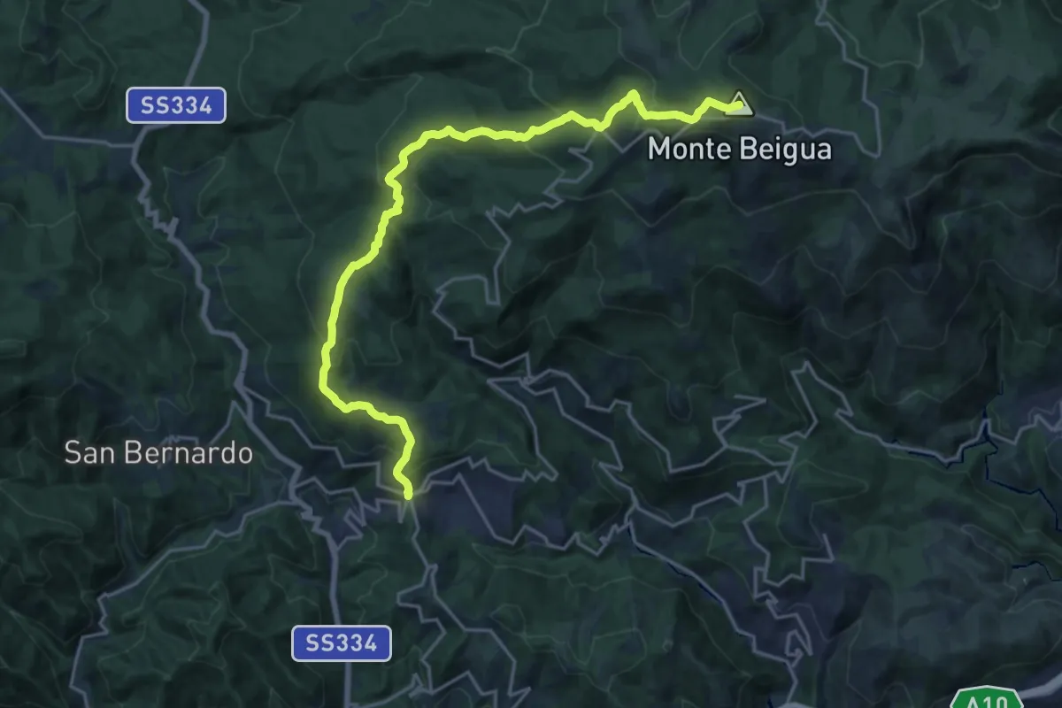
Demanding · Summit
Stella San Martino – Pian di Stella
21.1 km · ↑ 1026 m · 7 h 13 min · 14 km away
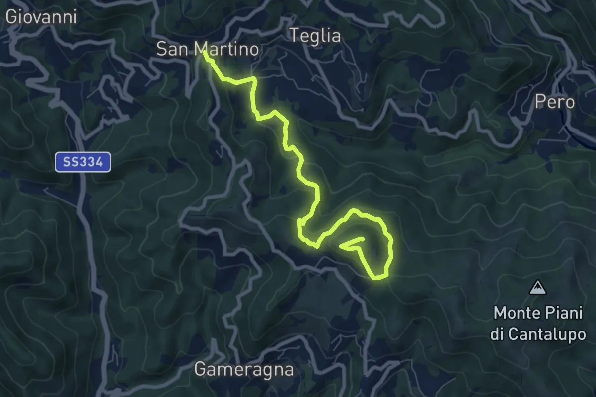
Medium · Summit
Stella San Martino - Bric delle Forche
8.2 km · ↑ 473 m · 2 h 58 min · 14 km away
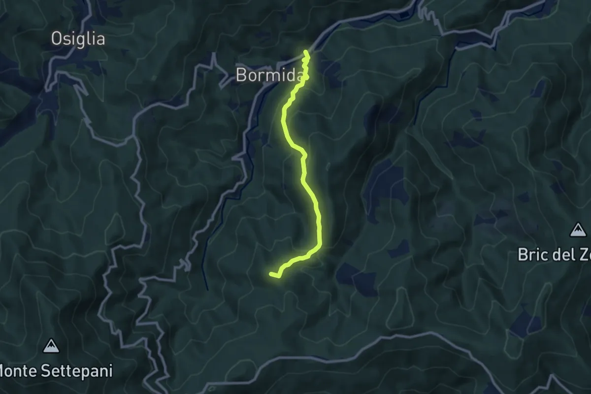
Medium · Summit
Madonna della Neve – Bormida
7.7 km · ↑ 414 m · 2 h 43 min · 14 km away
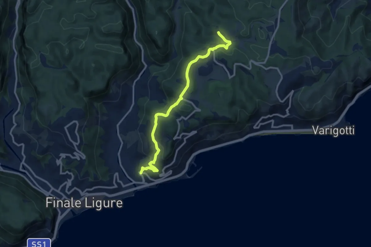
Medium · Trail
Finalpia - Arma delle Manie
8.9 km · ↑ 338 m · 2 h 51 min · 14 km away
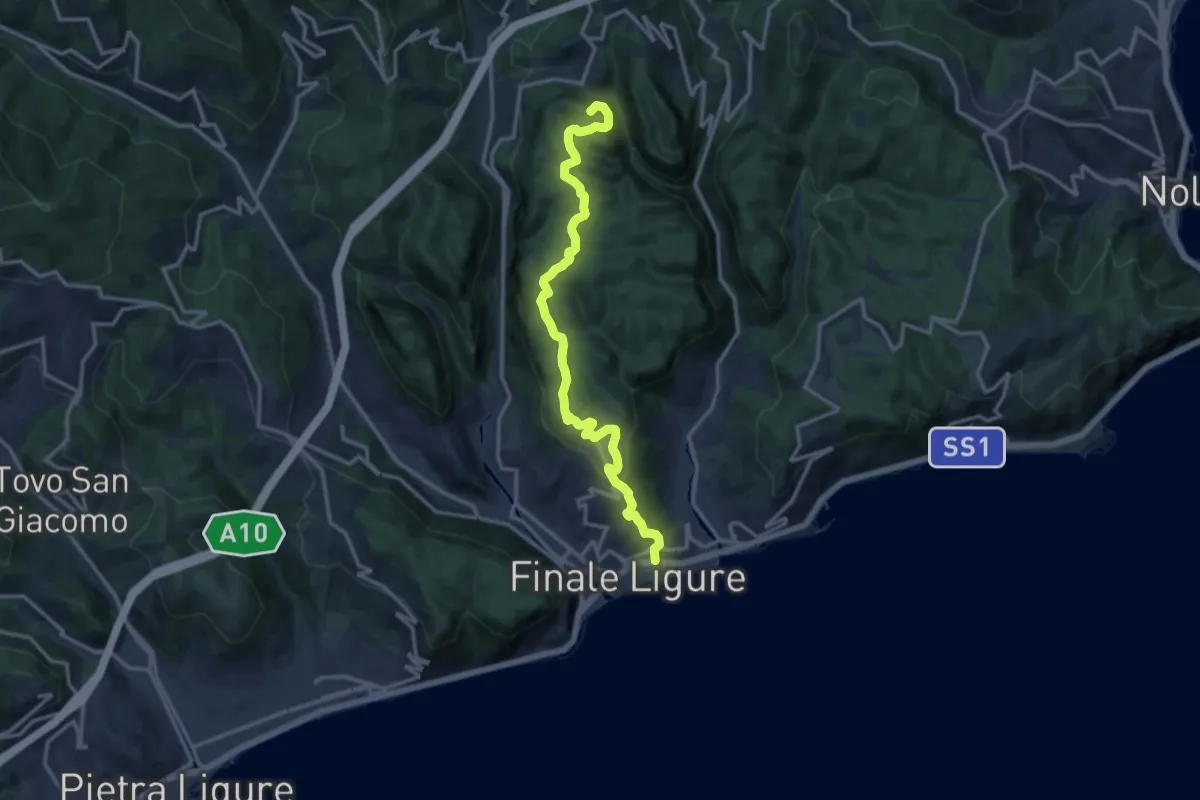
Demanding · Summit
Finalmarina – San Lorenzino
14.6 km · ↑ 496 m · 4 h 31 min · 15 km away
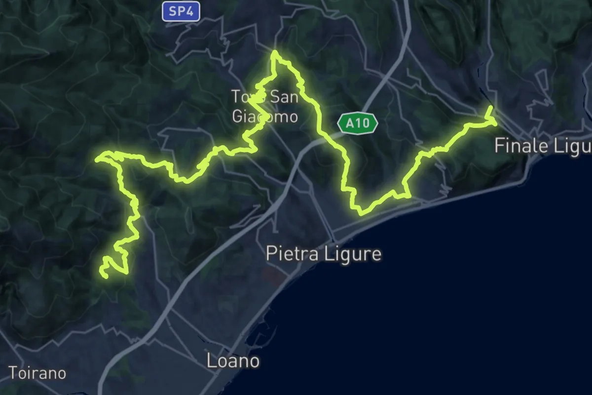
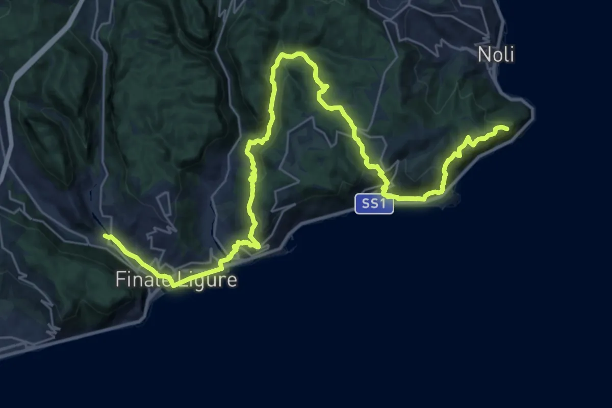
Demanding · Summit
Sentiero Liguria - Tappa 20
48.6 km · ↑ 2501 m · 16 h 53 min · 15 km away
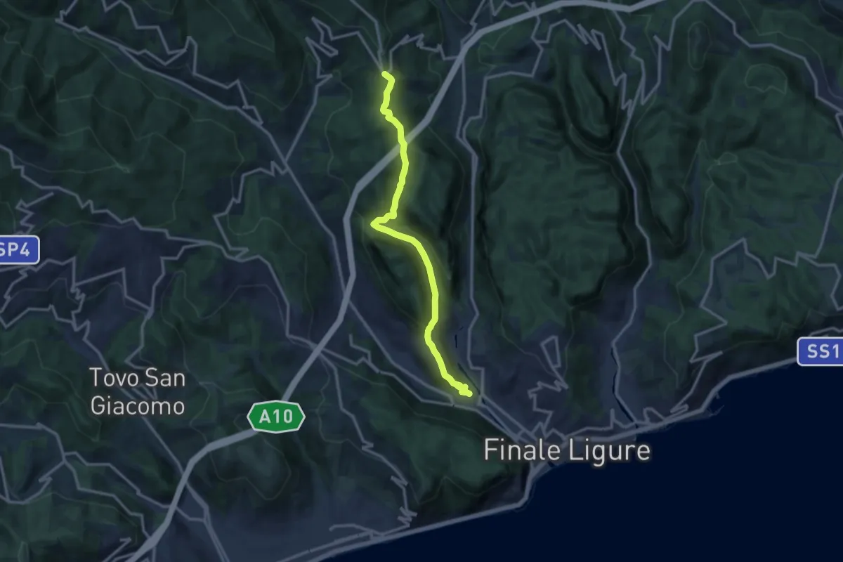
Demanding · Summit
Sentiero Liguria - Tappa 19
31.5 km · ↑ 1274 m · 10 h 12 min · 15 km away
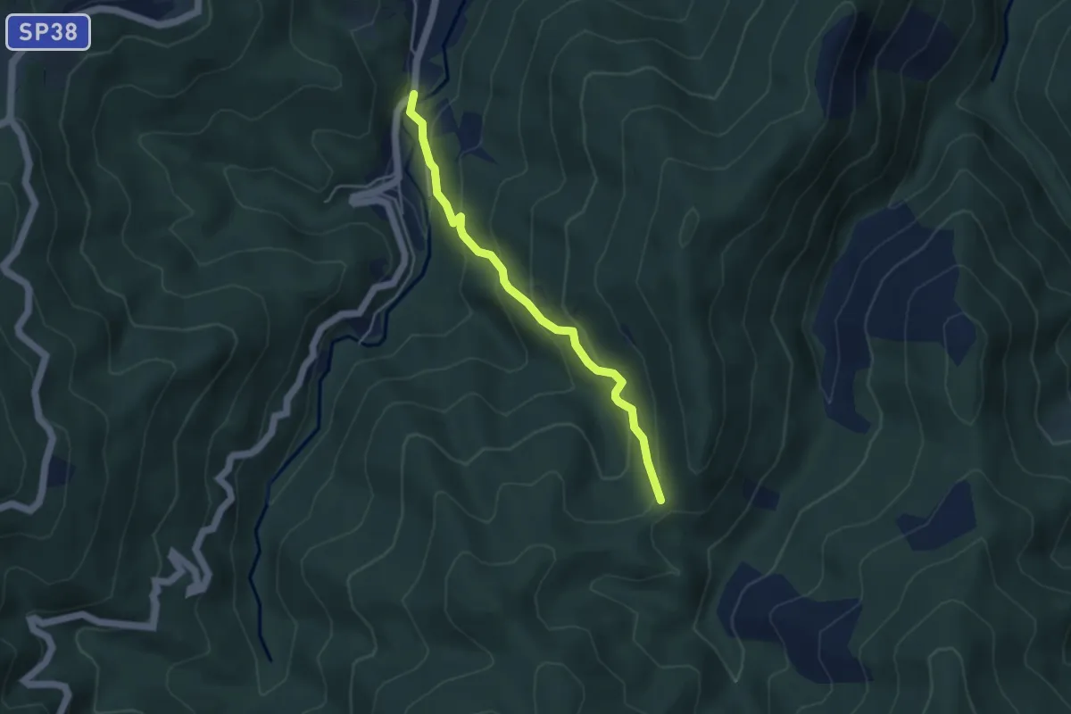
Medium · Trail
Finalborgo – San Rocco
11.8 km · ↑ 429 m · 3 h 43 min · 15 km away
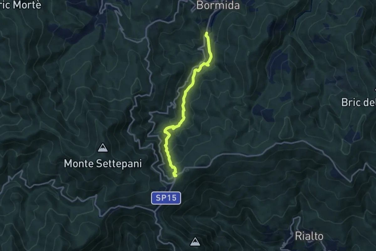
Easy · Trail
Poggio - Colletti
4.1 km · ↑ 292 m · 1 h 36 min · 15 km away
Medium · Trail
Bormida - Quadrivio SP Melogno
9.6 km · ↑ 505 m · 3 h 21 min · 15 km away
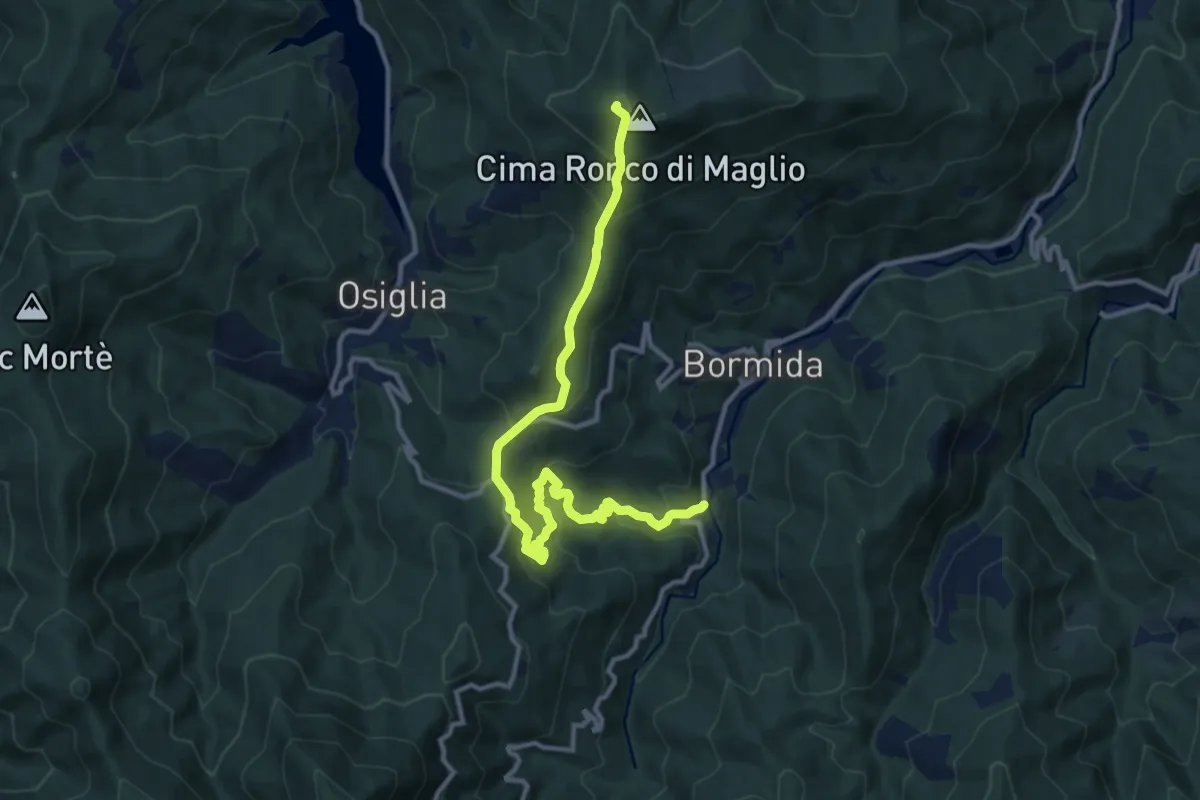
Medium · Summit
Pian Soprano - Colla Baltera - Ronco di Maglio (quadrati gialli)
12.7 km · ↑ 745 m · 4 h 37 min · 15 km away
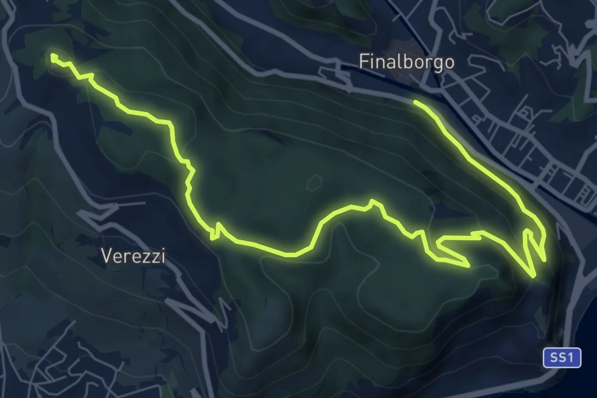
Medium · Summit
Finalborgo - Chiesa di Verezzi - Torre Bastia
10.5 km · ↑ 397 m · 3 h 20 min · 15 km away
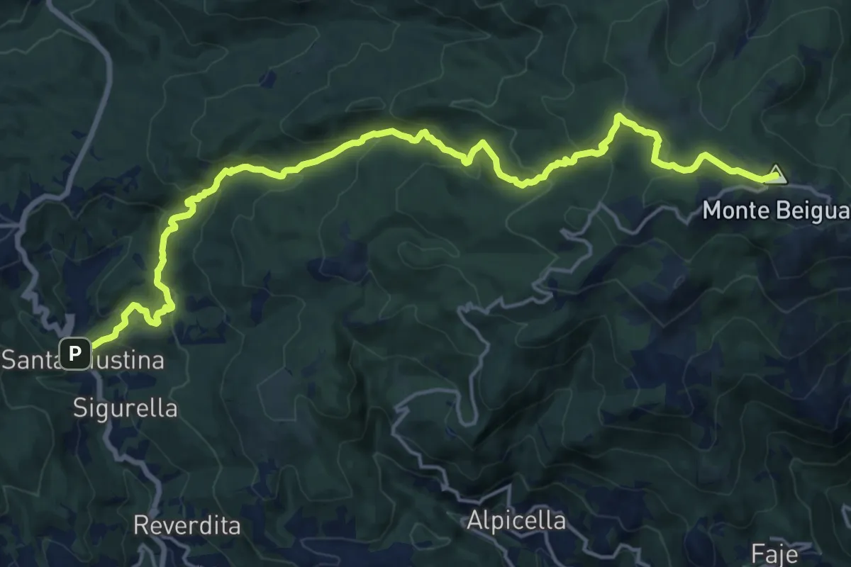
Demanding · Summit
Stella Santa Giustina – Croce Monte Beigua
20.8 km · ↑ 1043 m · 7 h 11 min · 15 km away
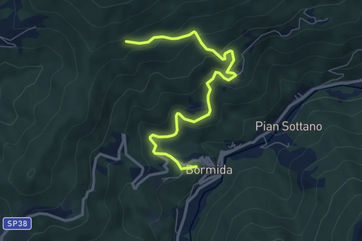
Medium · Trail
Bormida – Lago del Serpente
6.7 km · ↑ 448 m · 2 h 33 min · 15 km away