Trails near Recco
151 hikes starting within 15 km, nearest first.
Nearest first, page 1 of 4
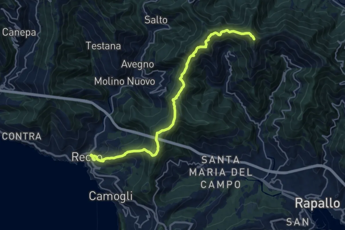
Demanding · Summit
Recco - M. Manico del Lume
17.6 km · ↑ 1195 m · 6 h 45 min · under 1 km away
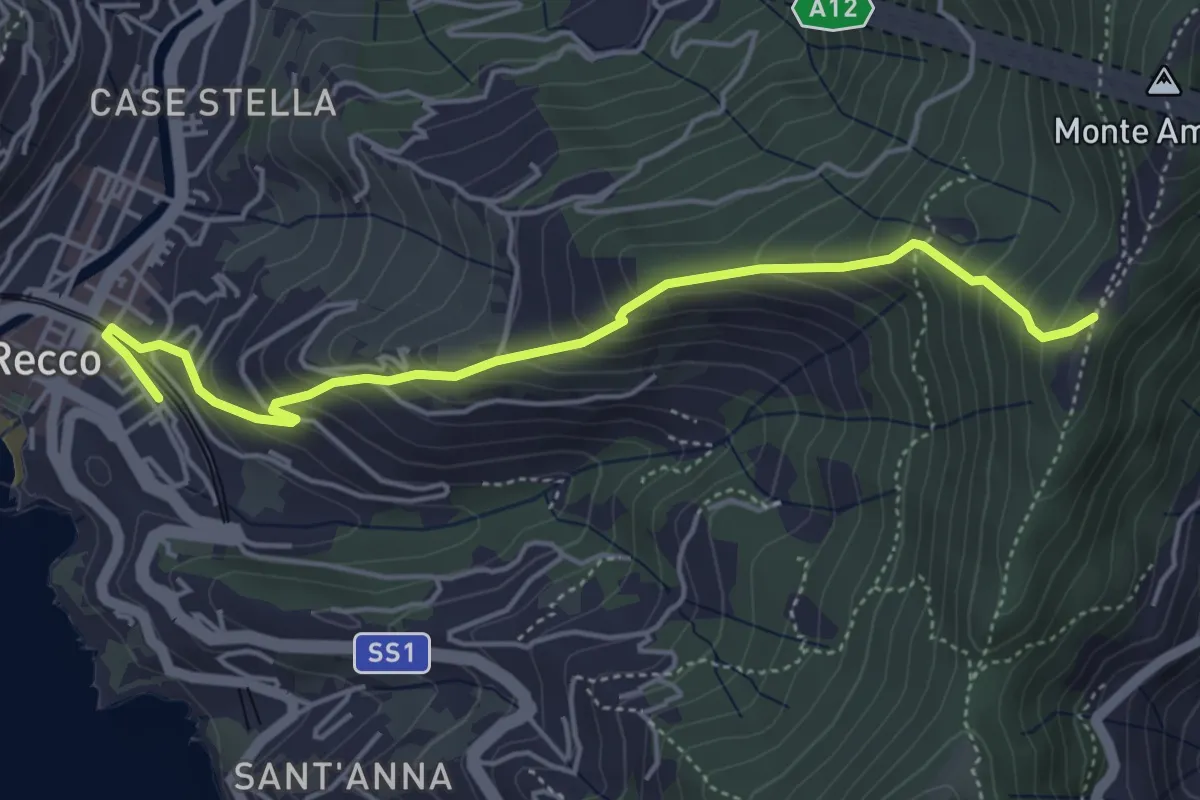
Medium · Trail
Antica Via del Cifalco - deviazione Recco
5.0 km · ↑ 469 m · 2 h 12 min · under 1 km away
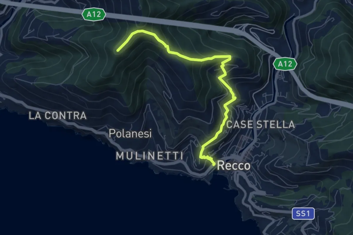
Medium · Trail
Recco – Sant'Uberto
7.4 km · ↑ 582 m · 3 h 1 min · under 1 km away
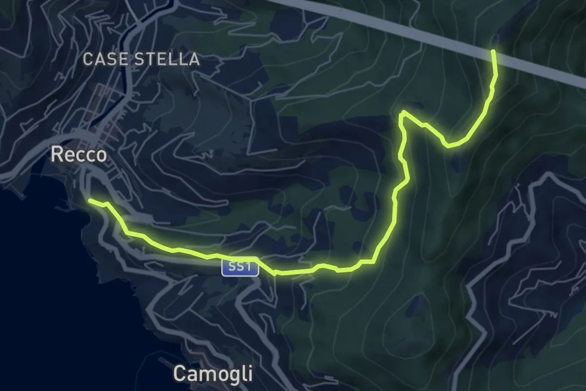
Medium · Summit
Recco - Monte Ampola
7.1 km · ↑ 529 m · 2 h 50 min · under 1 km away
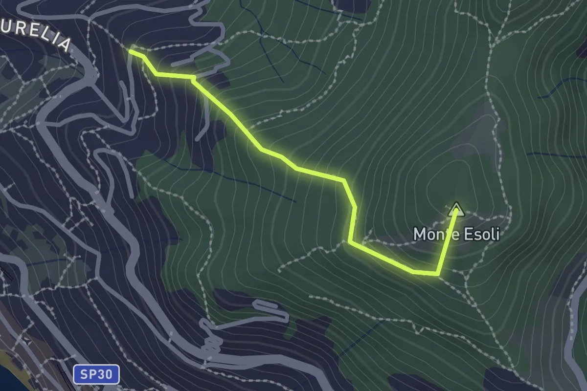
Easy · Summit
San Giacomo - Colle di Monte Esoli
2.2 km · ↑ 273 m · 1 h 6 min · 1 km away
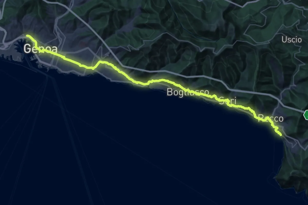
Demanding · Trail
Via della Costa - tappa 8
24.5 km · ↑ 887 m · 8 h 2 min · 1 km away
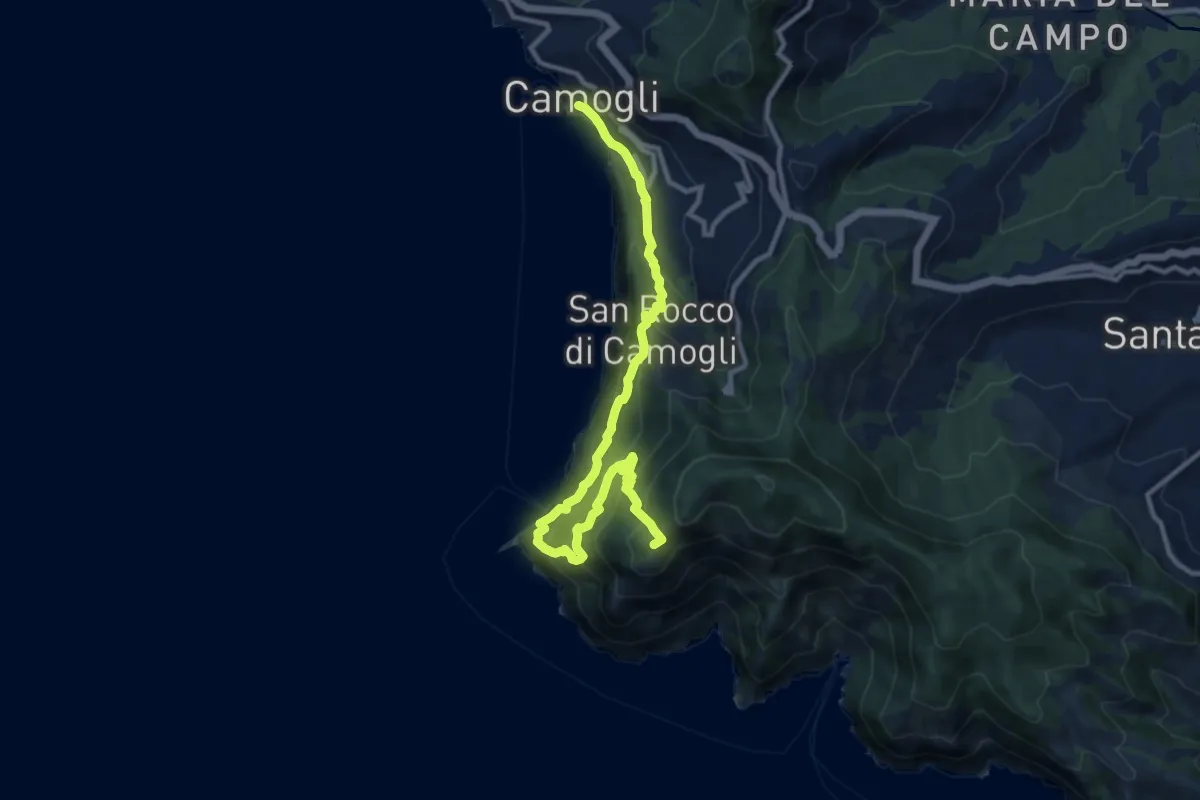
Demanding · Summit
Sentiero Liguria - Tappa 10
12.3 km · ↑ 1213 m · 5 h 32 min · 1 km away
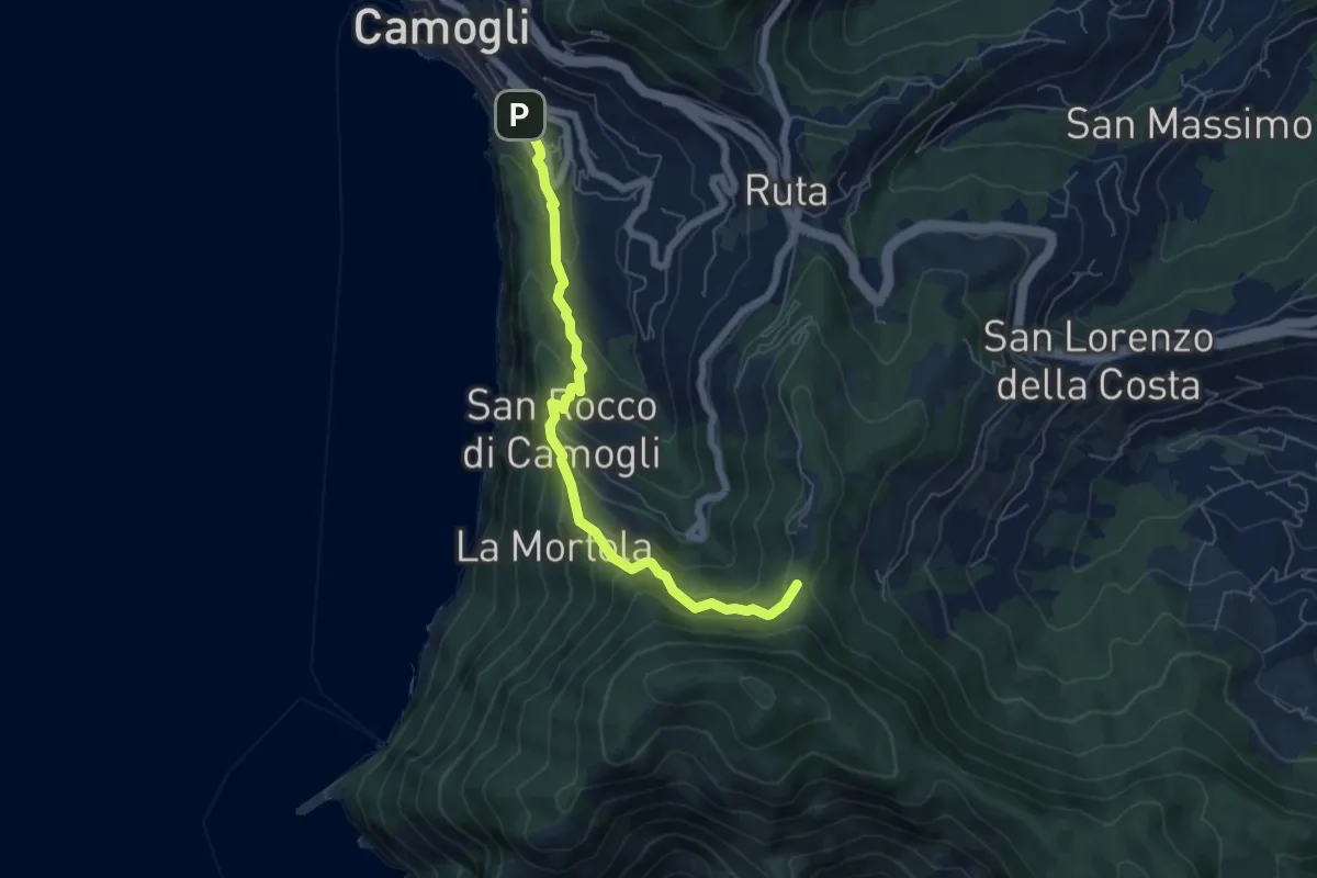
Medium · Trail
Antica Via del Cifalco - deviazione San Rocco/Camogli
6.1 km · ↑ 452 m · 2 h 26 min · 2 km away
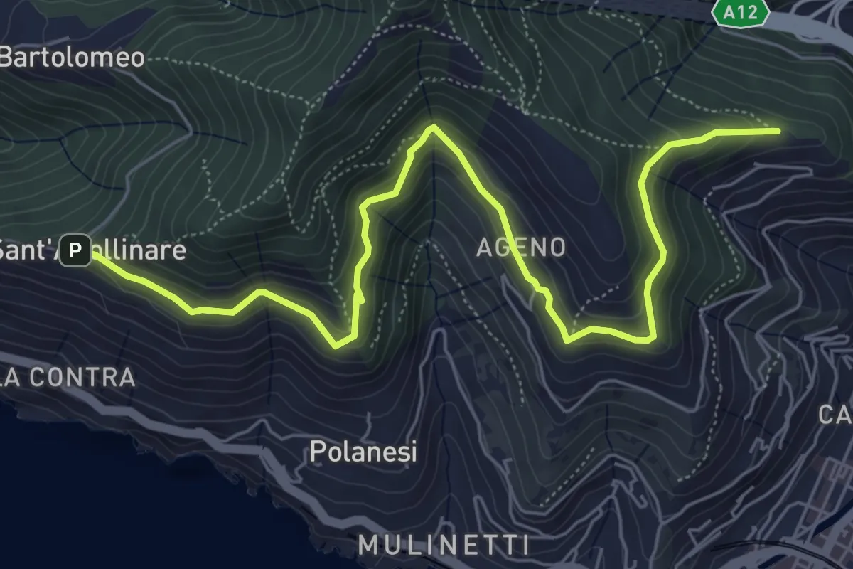
Medium · Trail
Sant'Apollinare - Ageno - Chiesa dell'Ascensione
7.7 km · ↑ 483 m · 2 h 51 min · 2 km away
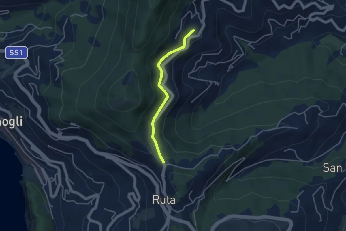
Easy · Trail
Ruta - San Martino di Noceto
2.7 km · ↑ 109 m · 53 min · 3 km away
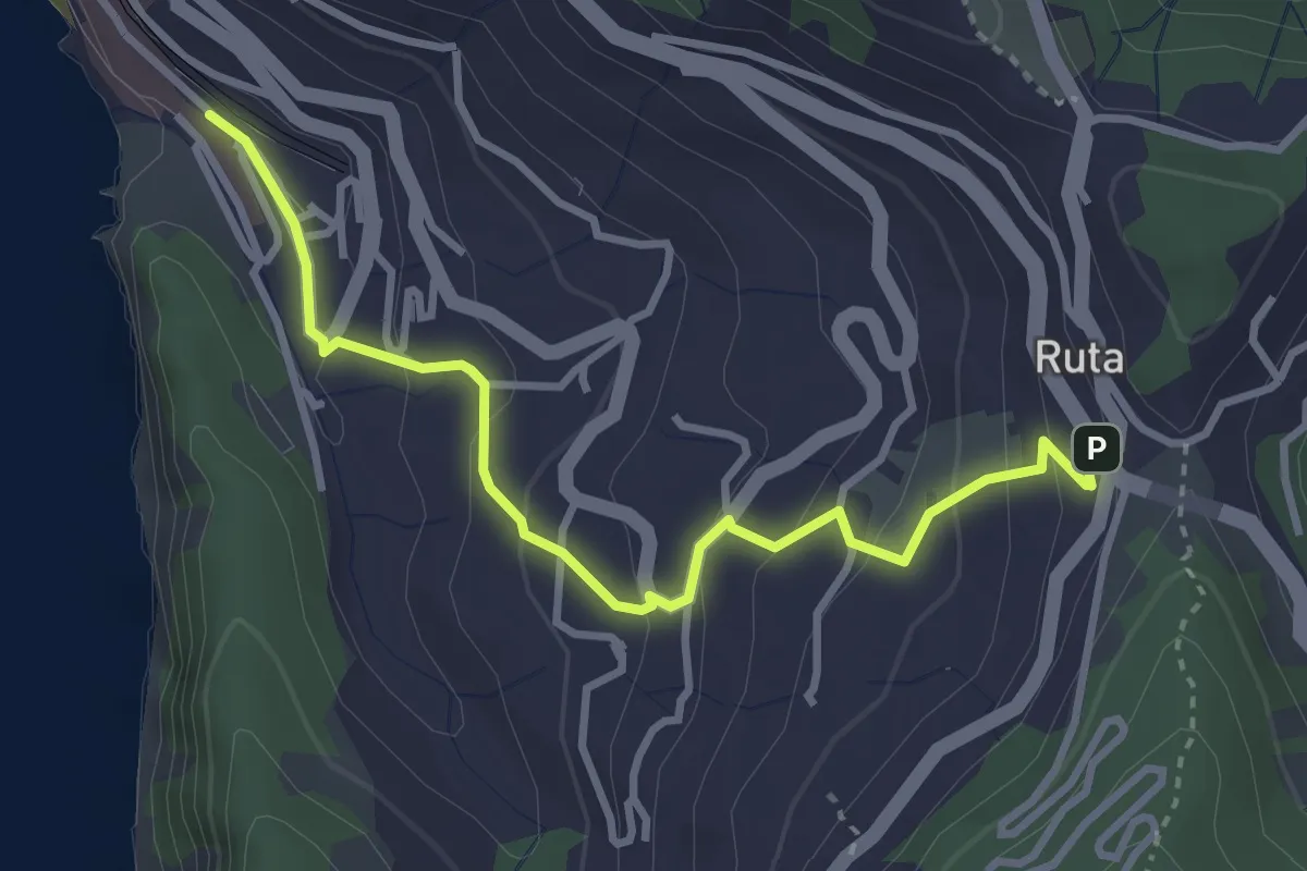
Easy · Trail
Camogli (FS) - Ruta
3.6 km · ↑ 220 m · 1 h 20 min · 3 km away
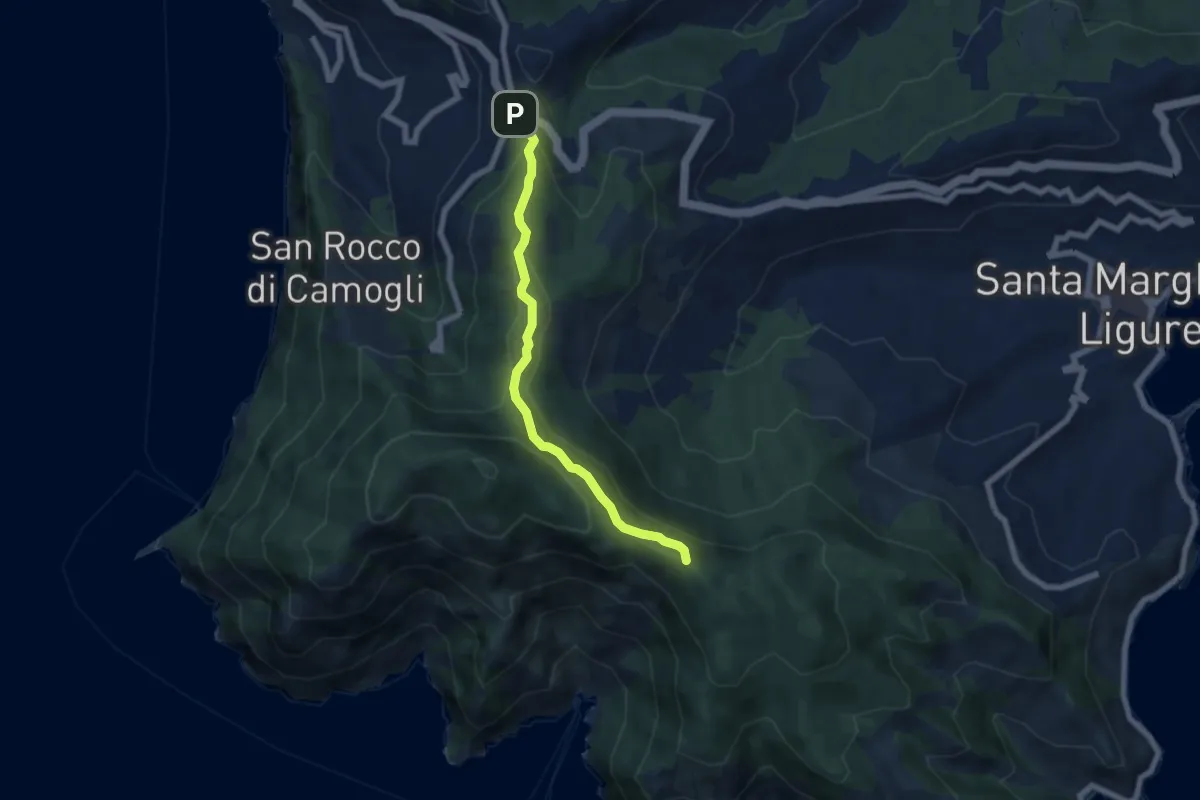
Easy · Summit
Ruta – Portofino
6.3 km · ↑ 291 m · 2 h 7 min · 3 km away
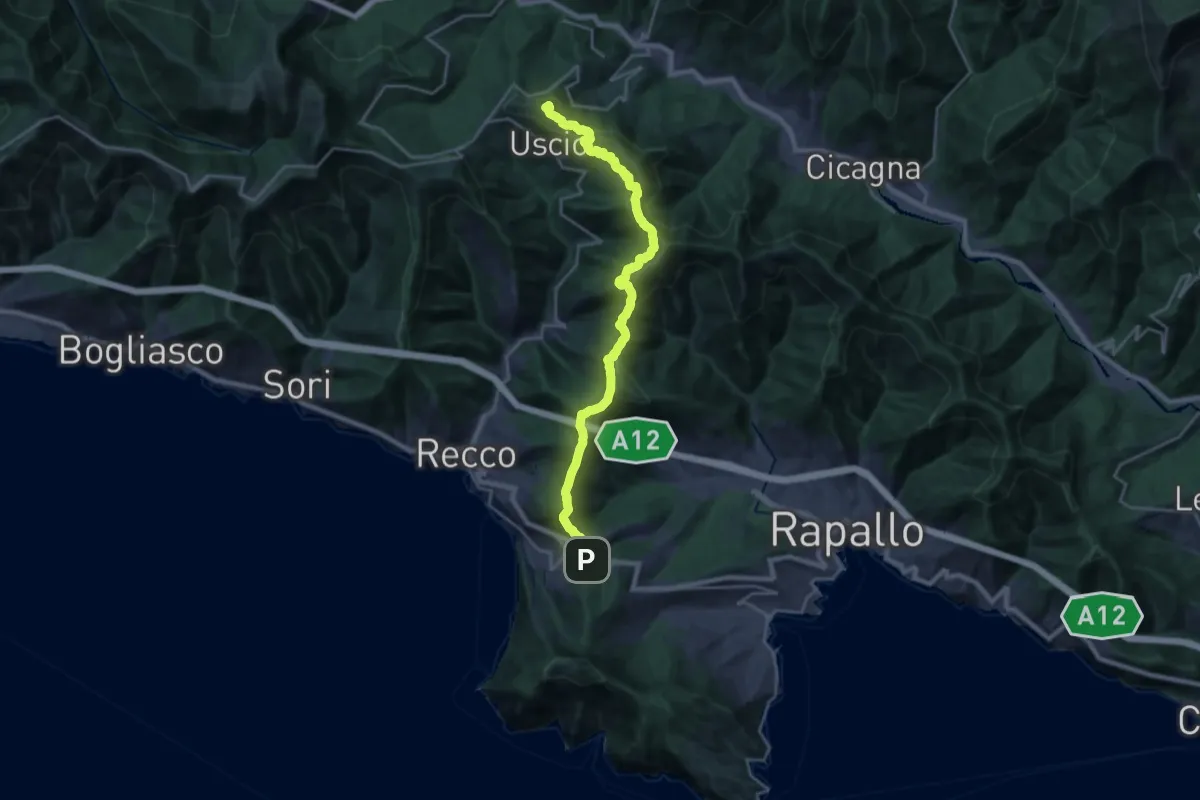
Demanding · Summit
Ruta – Colle Caprile
22.9 km · ↑ 1257 m · 8 h 8 min · 3 km away
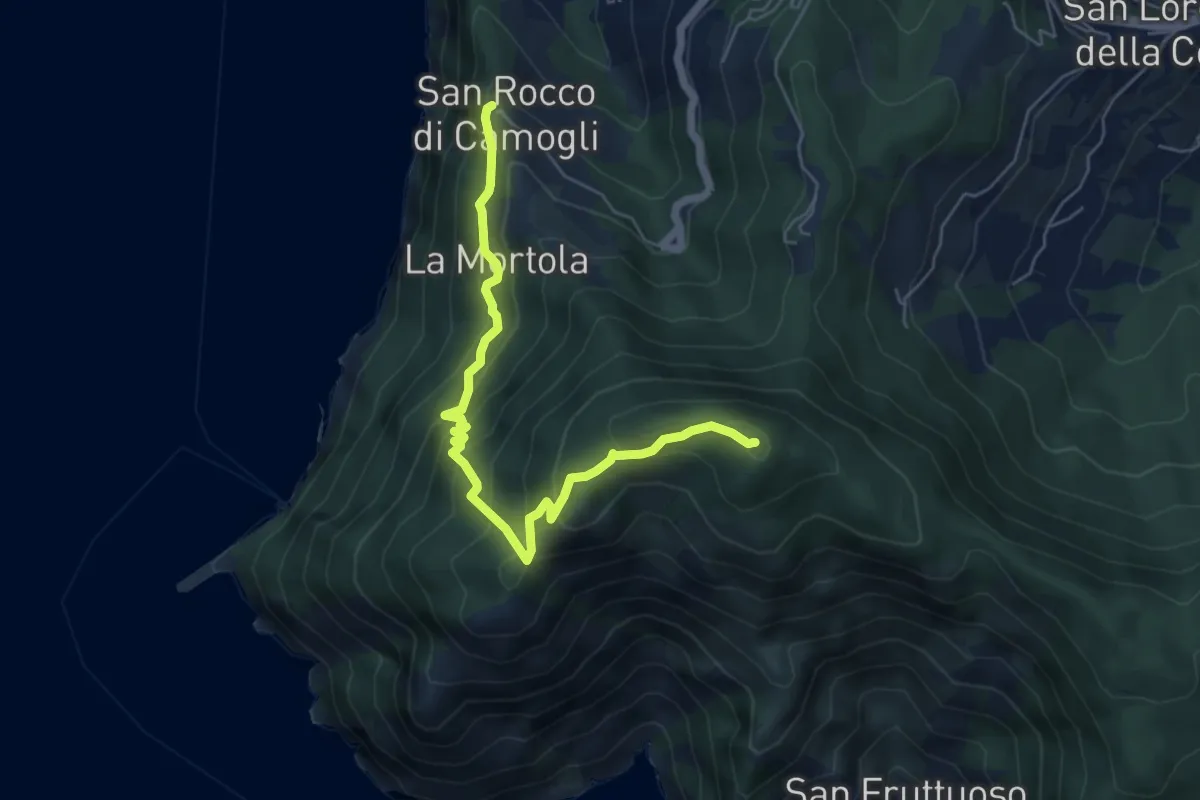
Medium · Summit
San Rocco – Pietre Strette
6.0 km · ↑ 569 m · 2 h 40 min · 3 km away
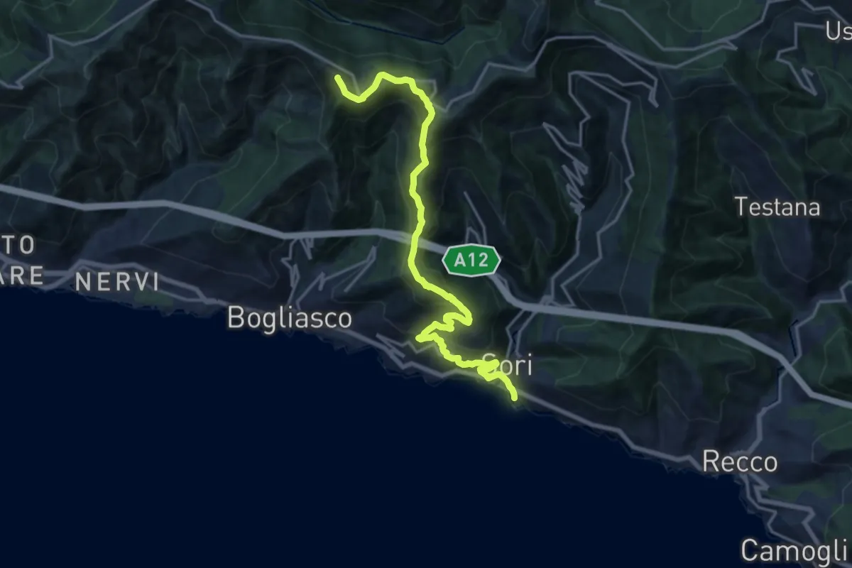
Demanding · Summit
Sori - Pieve Ligure - Monte S. Croce - Cian da Cola - Monte Cordona
17.2 km · ↑ 1135 m · 6 h 32 min · 3 km away
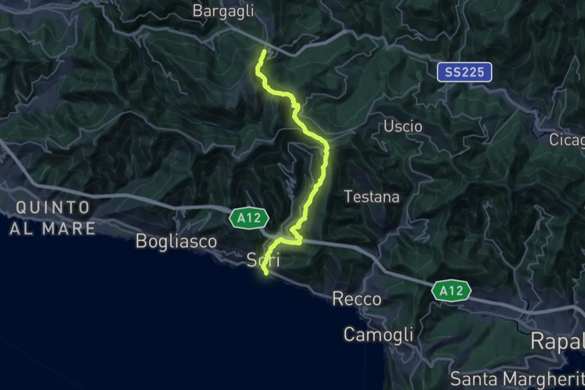
Demanding · Trail
Sori – S. Alberto
11.2 km · ↑ 1114 m · 4 h 54 min · 3 km away
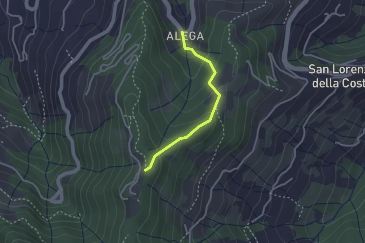
Medium · Trail
Località Alega (Parcheggio Bus/Auto Ruta) - Portofino Vetta
2.3 km · ↑ 149 m · 51 min · 3 km away
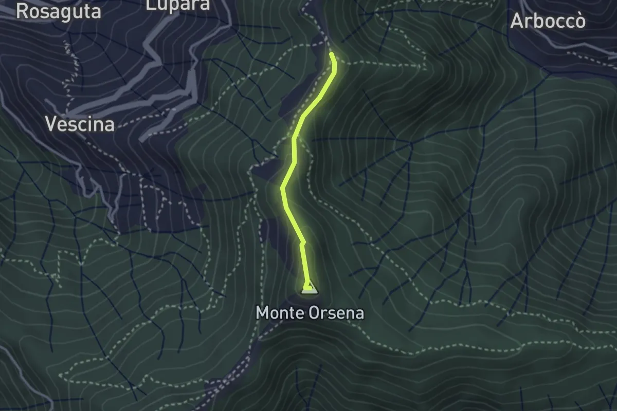
Easy · Summit
Passo del Gallo – Santuario di Caravaggio
2.1 km · ↑ 104 m · 43 min · 4 km away
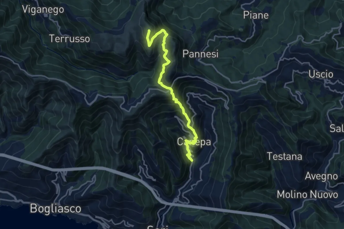
Demanding · Summit
Lago (Sori) – Monte Croce dei Fò
13.1 km · ↑ 1149 m · 5 h 34 min · 4 km away
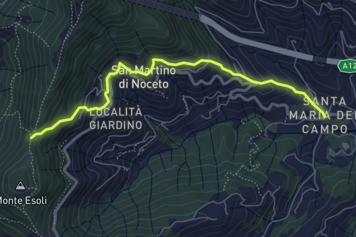
Medium · Trail
Santa Maria del Campo - Colle Esoli Nord
5.8 km · ↑ 456 m · 2 h 21 min · 4 km away
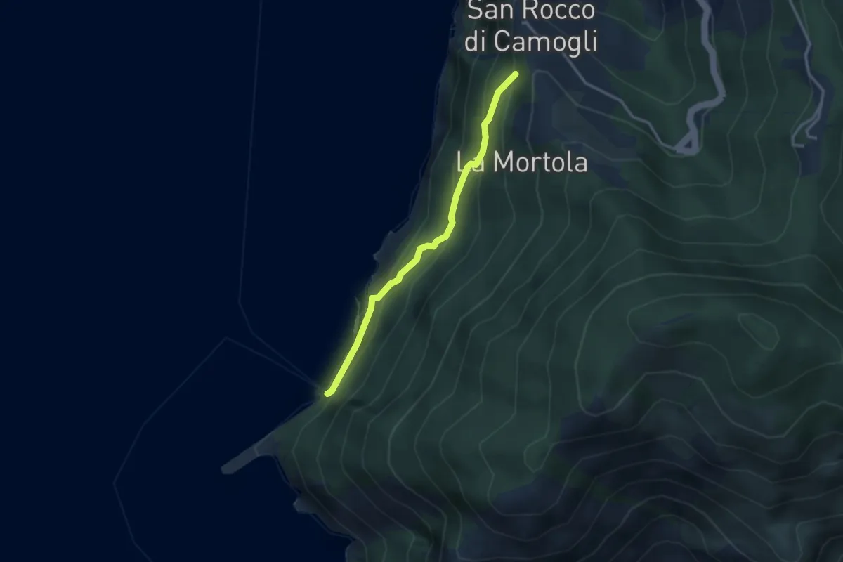
Easy · Trail
San Rocco - San Nicolò di Capodimonte - La Foce (Porto Pidocchio)
2.8 km · ↑ 189 m · 1 h 4 min · 4 km away
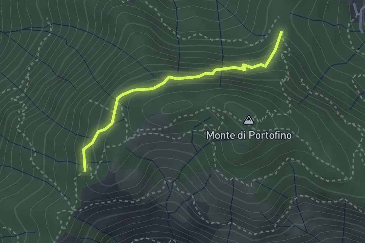
Easy · Trail
Sella Gaixella – bivio Sequoie
2.5 km · ↑ 220 m · 1 h 4 min · 4 km away
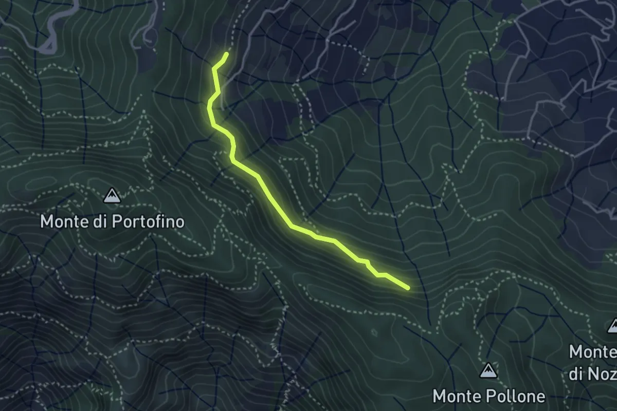
Medium · Trail
Costa Secca - Dolcina Alta
3.1 km · ↑ 184 m · 1 h 8 min · 4 km away
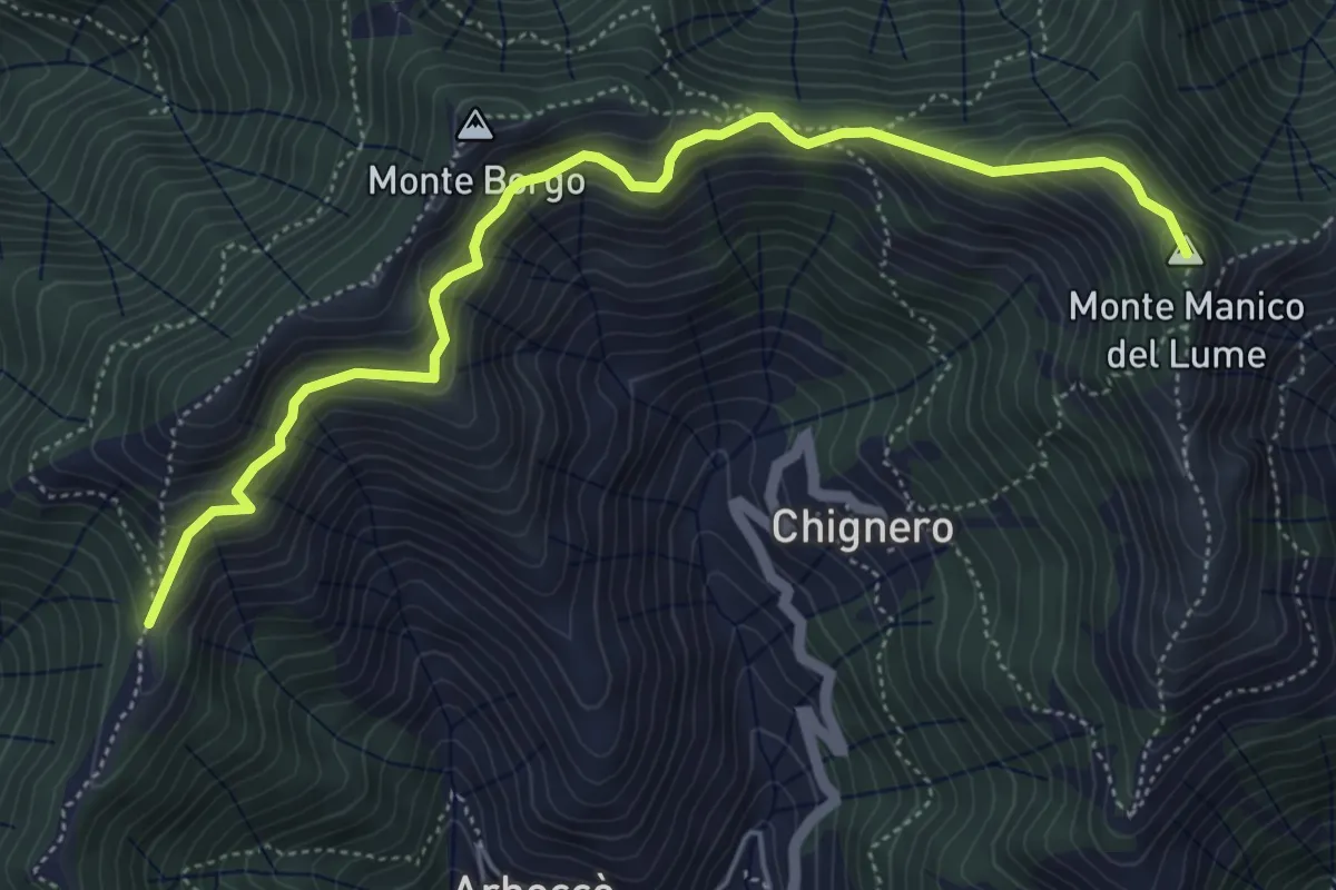
Demanding · Summit
Antica Via del Cifalco - deviazione Passo Serra/Manico Lume
5.8 km · ↑ 465 m · 2 h 22 min · 4 km away
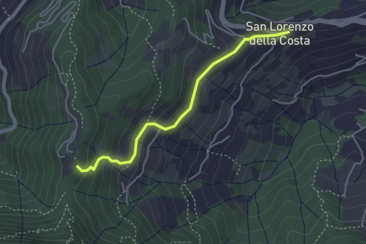
Easy · Trail
San Lorenzo della Costa – Sella Gaixella
3.4 km · ↑ 236 m · 1 h 19 min · 4 km away
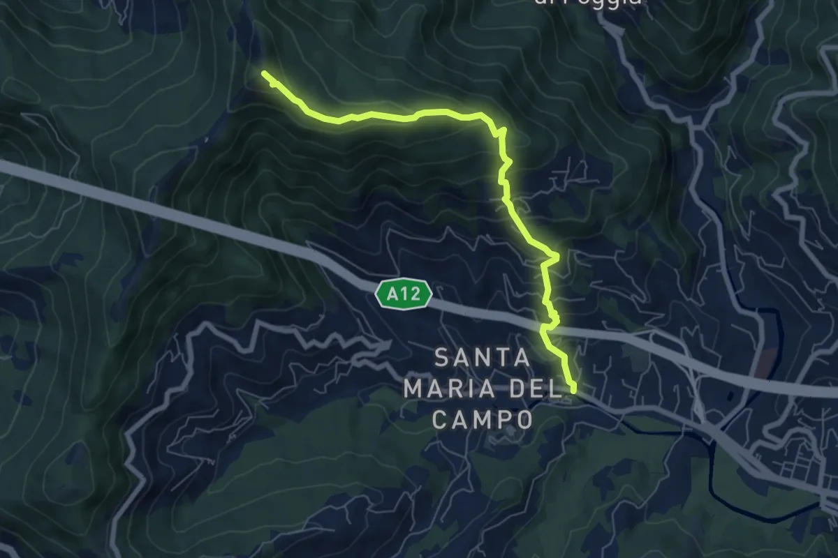
Medium · Summit
S. Maria del Campo - Santuario di Caravaggio
6.8 km · ↑ 559 m · 2 h 49 min · 5 km away
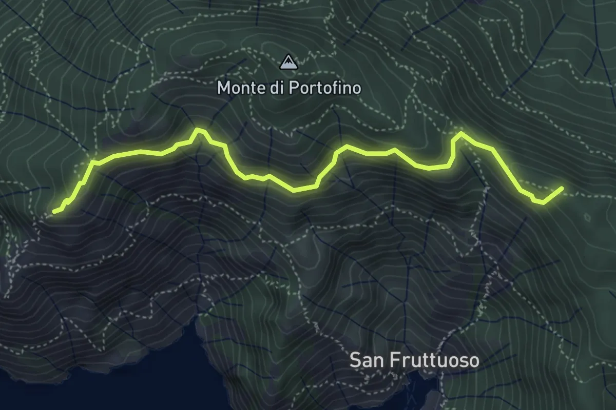
Medium · Summit
Base "0" – Semaforo Nuovo
5.2 km · ↑ 314 m · 1 h 54 min · 5 km away
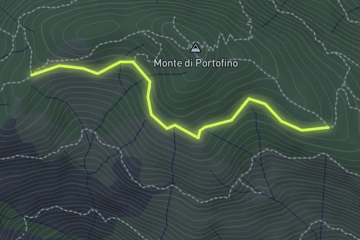
Easy · Trail
Pian Lungo – Sella Porcile
2.4 km · ↑ 124 m · 51 min · 5 km away
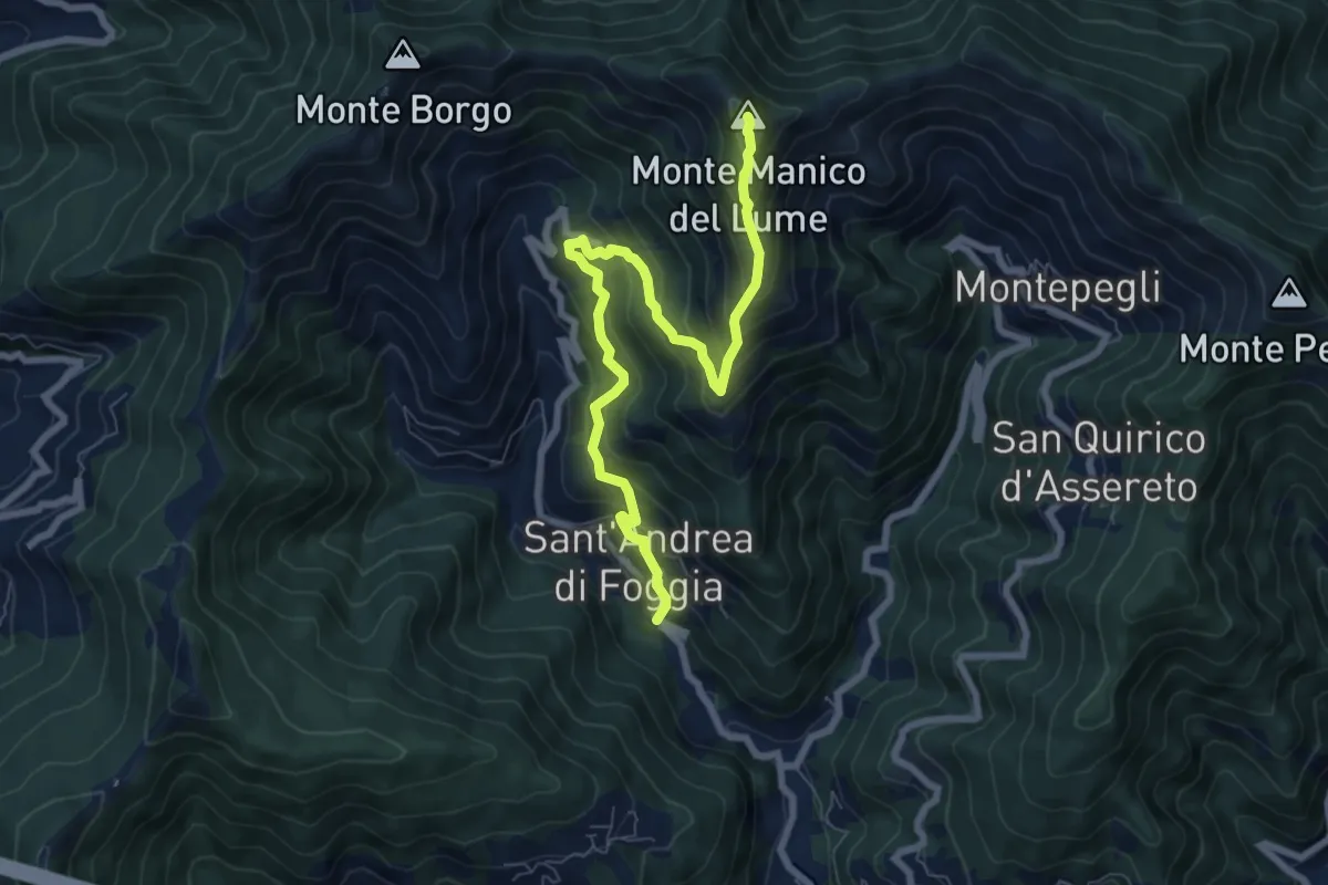
Demanding · Summit
S. Andrea di Foggia - Monte Manico del Lume
8.4 km · ↑ 768 m · 3 h 39 min · 5 km away
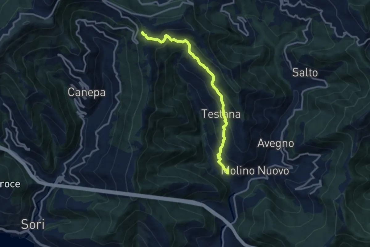
Medium · Trail
Sentiero della Castagna
8.4 km · ↑ 697 m · 3 h 29 min · 5 km away
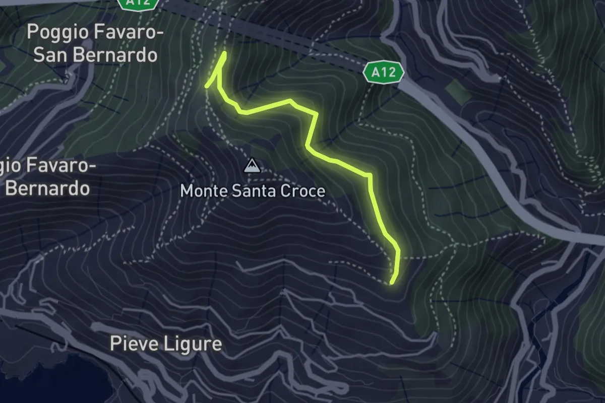
Easy · Trail
Costa - Cramoesi
3.4 km · ↑ 206 m · 1 h 15 min · 5 km away
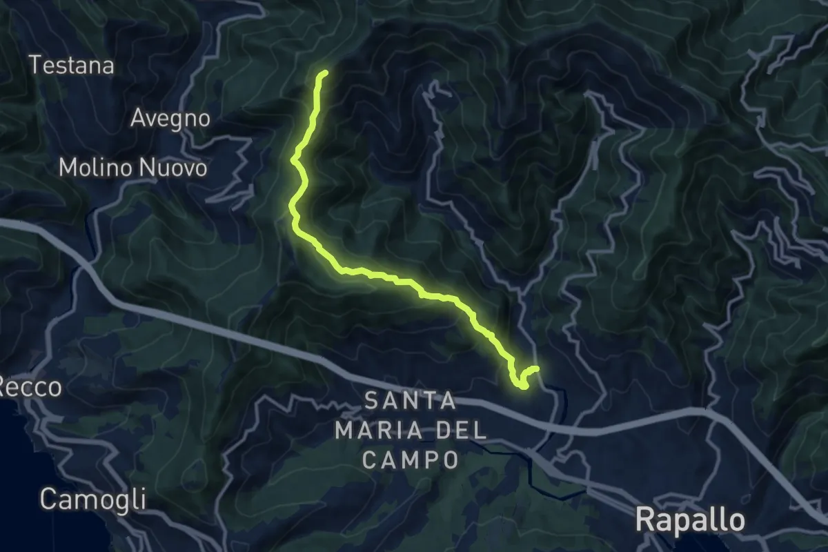
Demanding · Summit
San Pietro Novella - Monte Bello
11.1 km · ↑ 828 m · 4 h 24 min · 5 km away
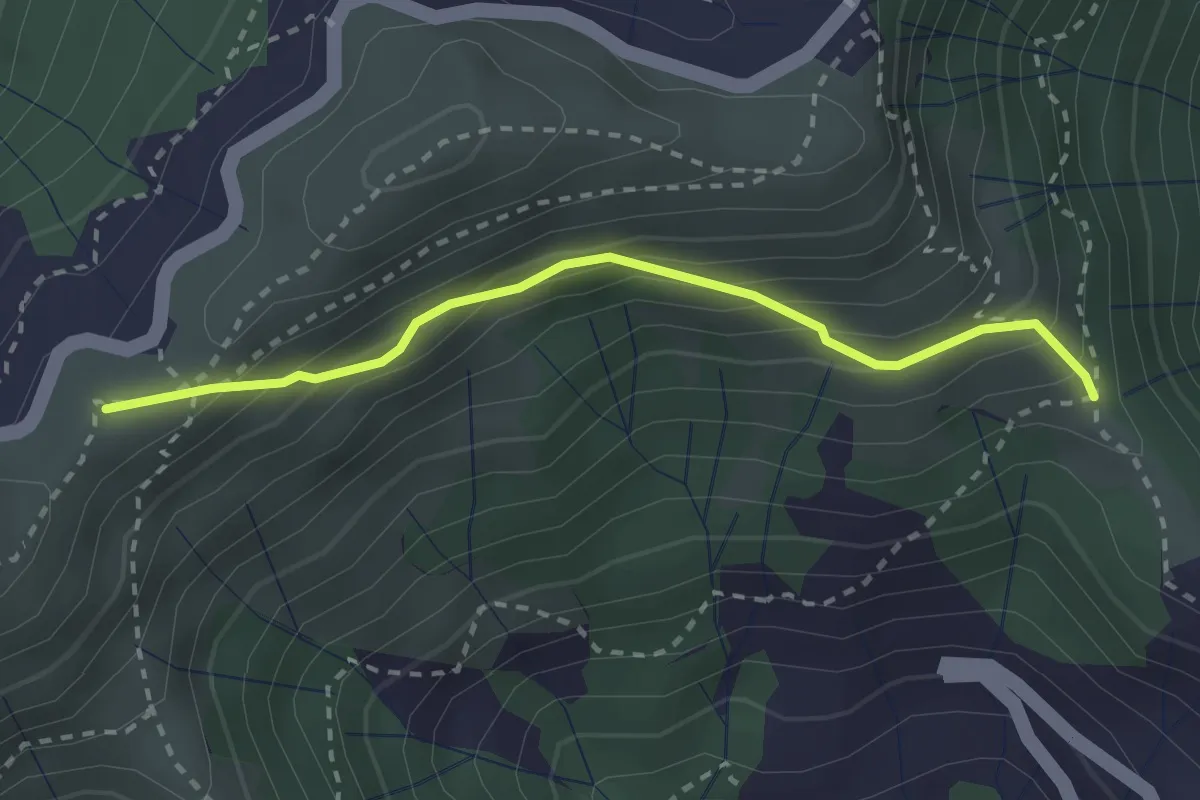
Easy · Summit
Croce - Bocchin di Levà
2.6 km · ↑ 222 m · 1 h 6 min · 5 km away
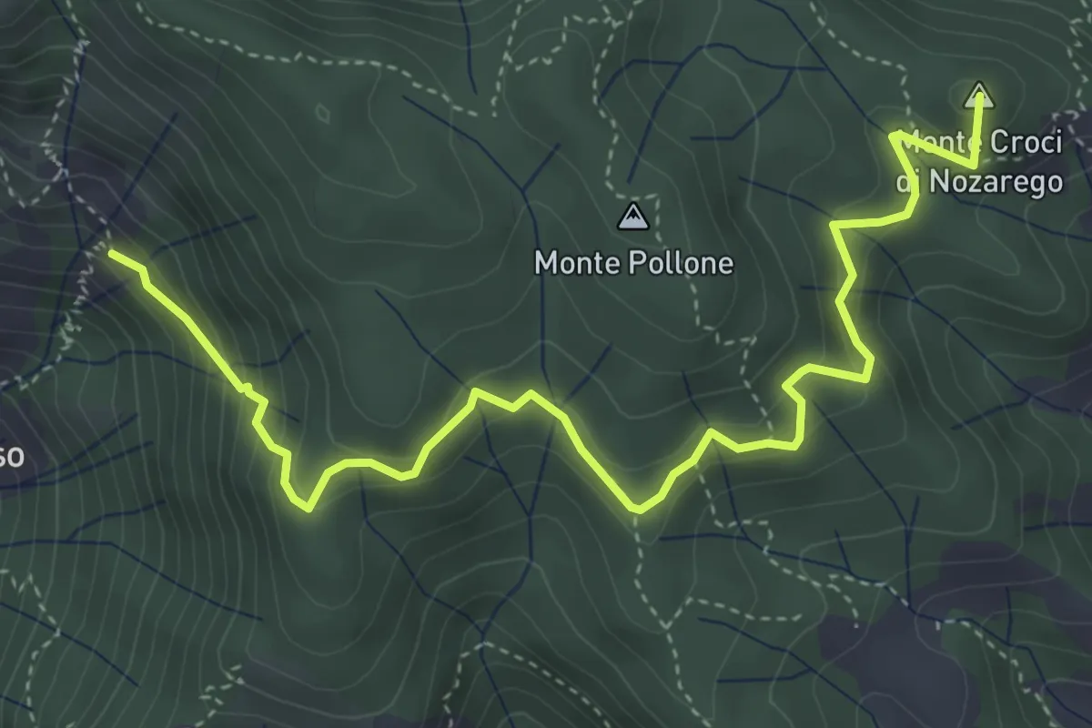
Medium · Summit
Molini di San Fruttuoso – Nozarego
5.4 km · ↑ 399 m · 2 h 8 min · 6 km away
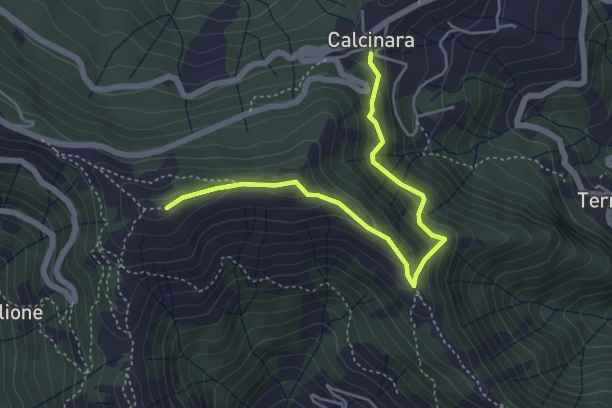
Easy · Summit
Itinerario Storico Colombiano - Variante ISC1
4.3 km · ↑ 304 m · 1 h 40 min · 6 km away
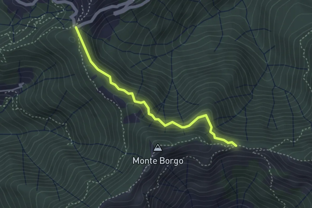
Medium · Trail
Passo Spinarola - Passo Serra
3.4 km · ↑ 252 m · 1 h 21 min · 6 km away
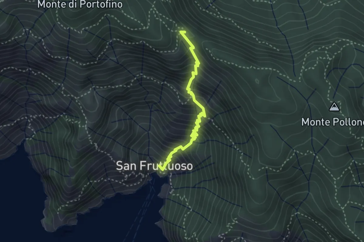
Medium · Trail
Antica Via del Cifalco - deviazione San Fruttuoso
3.3 km · ↑ 450 m · 1 h 45 min · 6 km away
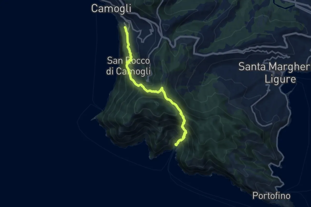
Demanding · Trail
Camogli – San Fruttuoso
11.0 km · ↑ 965 m · 4 h 41 min · 6 km away
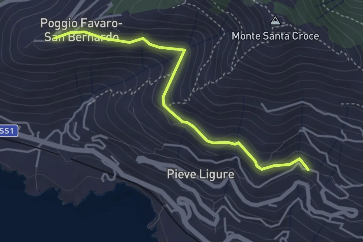
Easy · Trail
Pieve Alta - San Bernardo
3.6 km · ↑ 198 m · 1 h 17 min · 6 km away
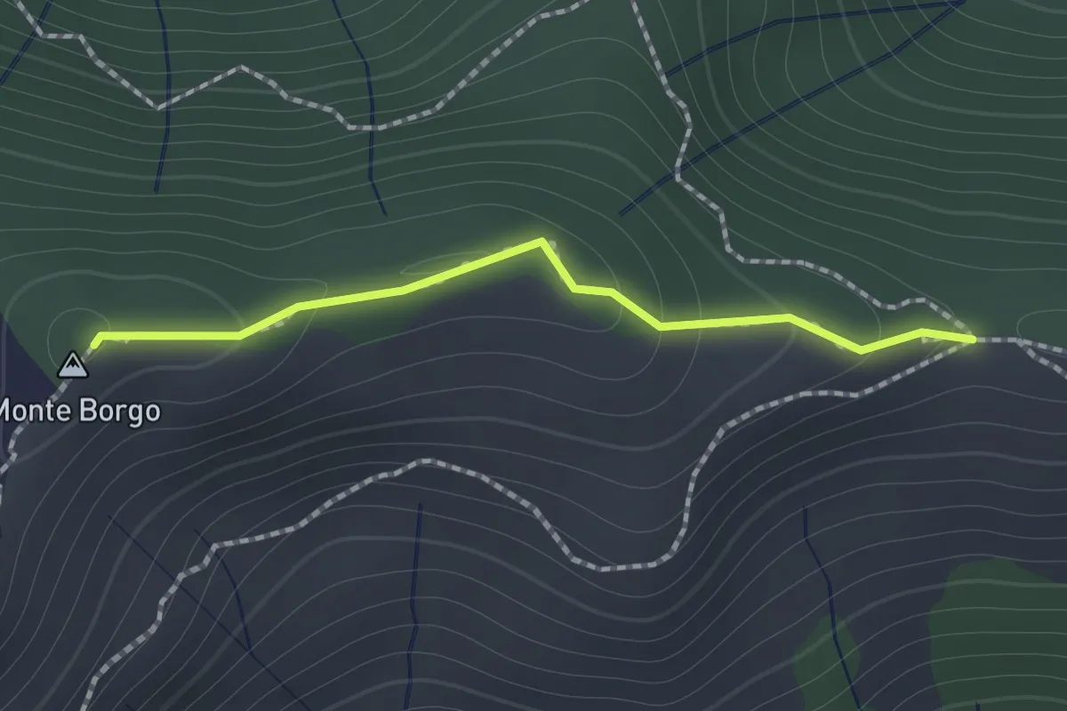
Medium · Summit
Passo Serra - Monte Borgo - Monte Bello
1.2 km · ↑ 64 m · 25 min · 6 km away
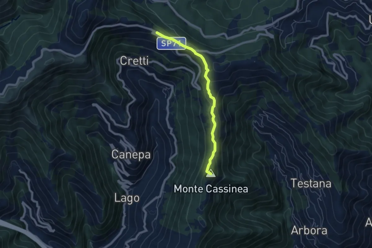
Easy · Summit
Sori – Case Cornua
5.2 km · ↑ 154 m · 1 h 34 min · 6 km away
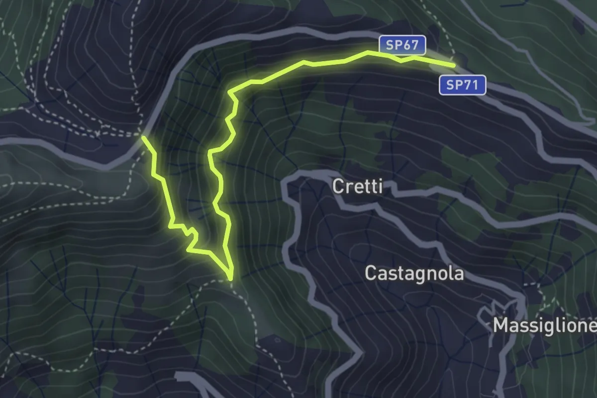
Medium · Trail
Itinerario Storico Colombiano - Variante ISC1
4.4 km · ↑ 438 m · 1 h 59 min · 6 km away
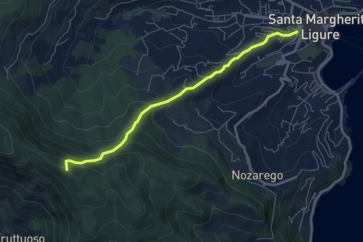
Medium · Summit
Antica Via del Cifalco - deviazione Santa Margherita Ligure
5.6 km · ↑ 476 m · 2 h 21 min · 6 km away
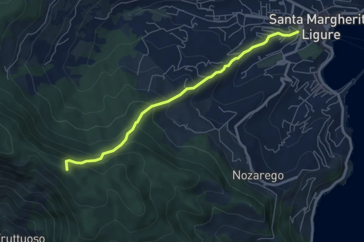
Medium · Summit
Santa Margherita Ligure – Pietre Strette
5.6 km · ↑ 476 m · 2 h 21 min · 6 km away
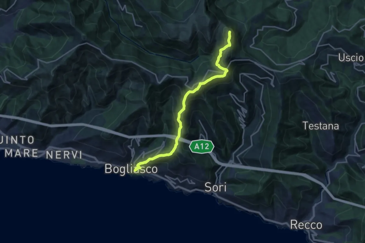
Demanding · Summit
Bogliasco – Monte Bado
14.9 km · ↑ 1201 m · 6 h 7 min · 6 km away
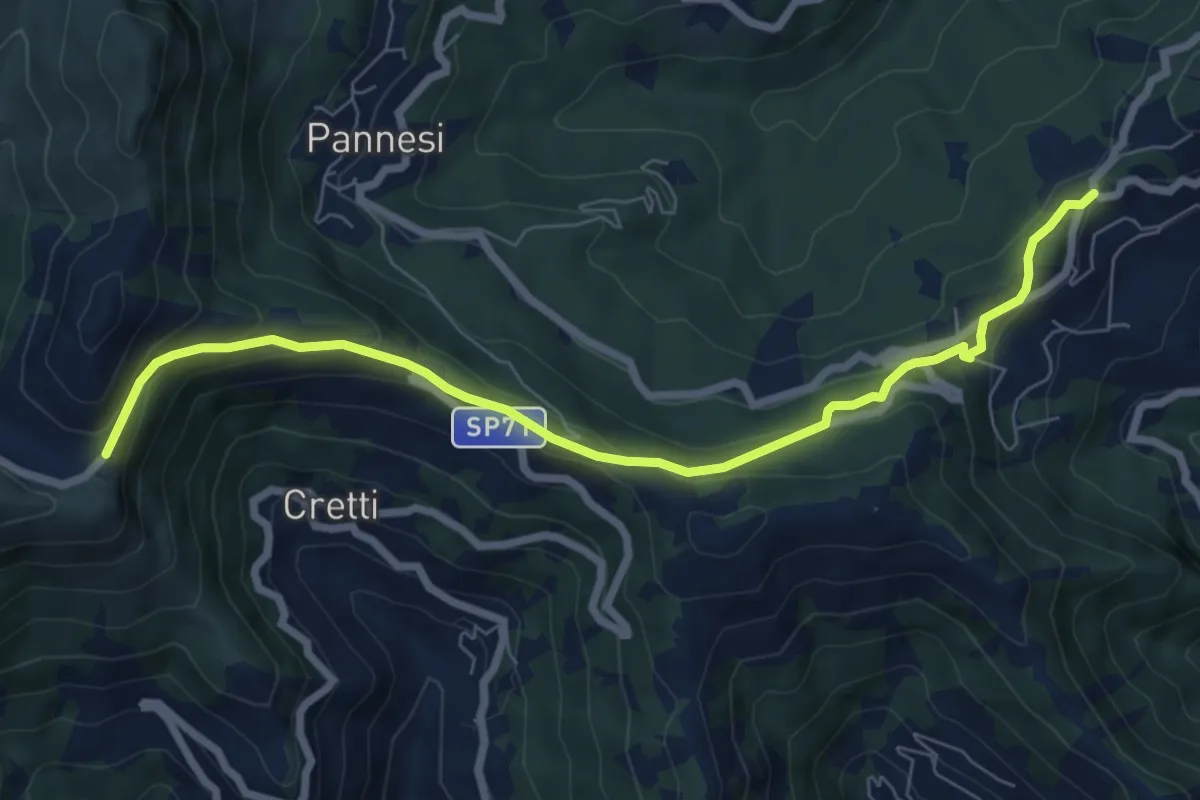
Easy · Trail
Colle Caprile - Case Cornua - Case Becco (tratto VM)
7.8 km · ↑ 316 m · 2 h 31 min · 6 km away
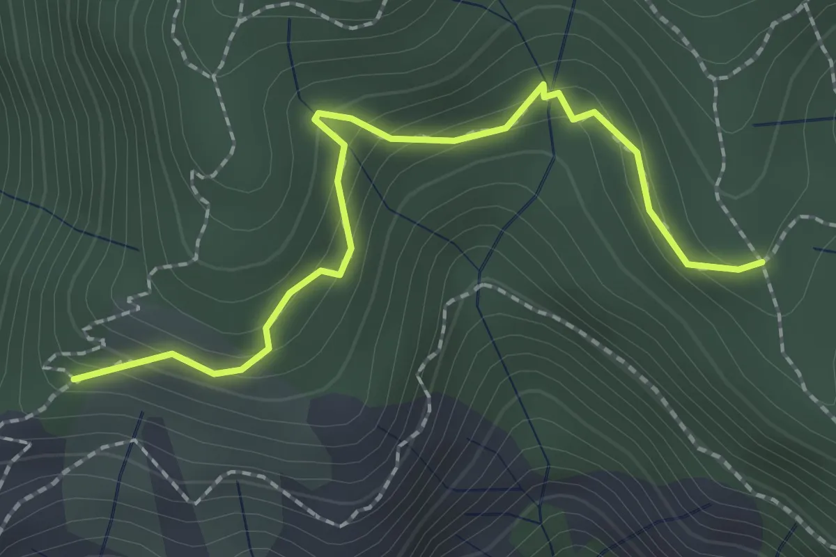
Easy · Trail
Sentiero acquedotto Copelli
2.3 km · ↑ 149 m · 52 min · 6 km away
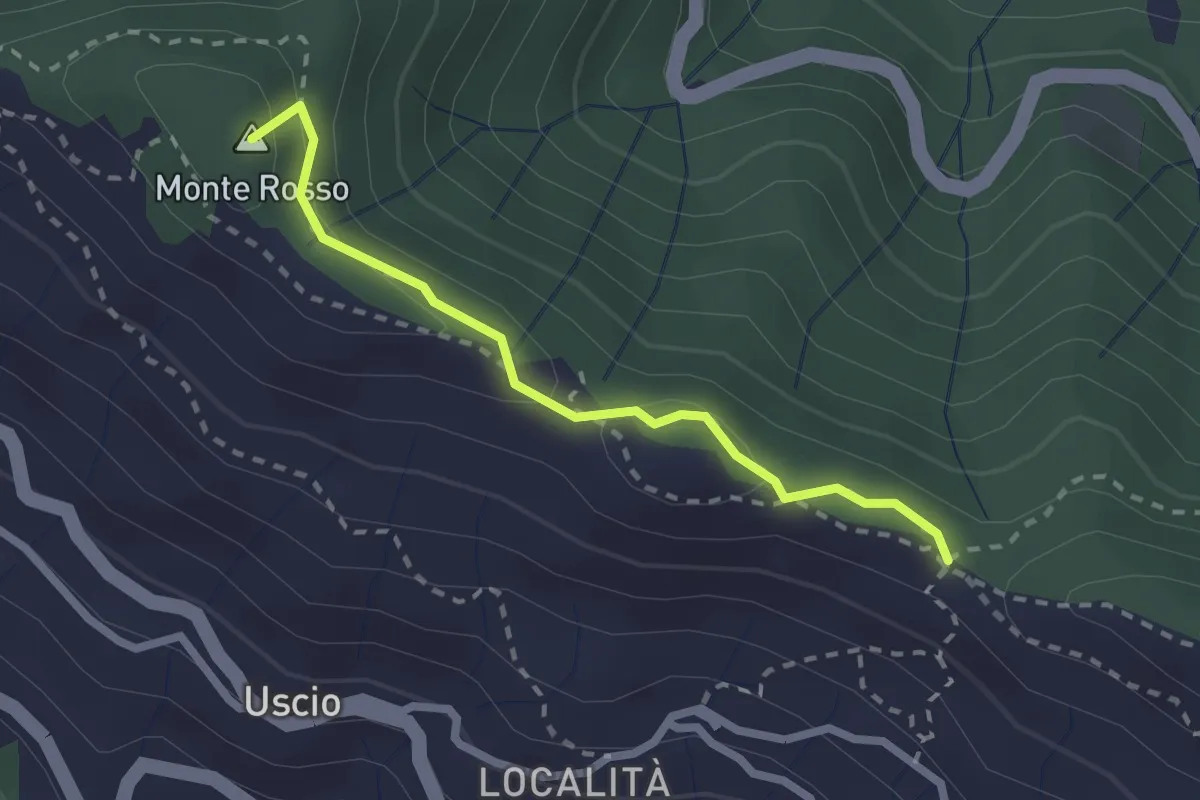
Medium · Summit
Antica Via del Cifalco - deviazione Colle Caprile
2.3 km · ↑ 65 m · 41 min · 6 km away