Trails near Recco
151 hikes starting within 15 km, nearest first.
Nearest first, page 2 of 4
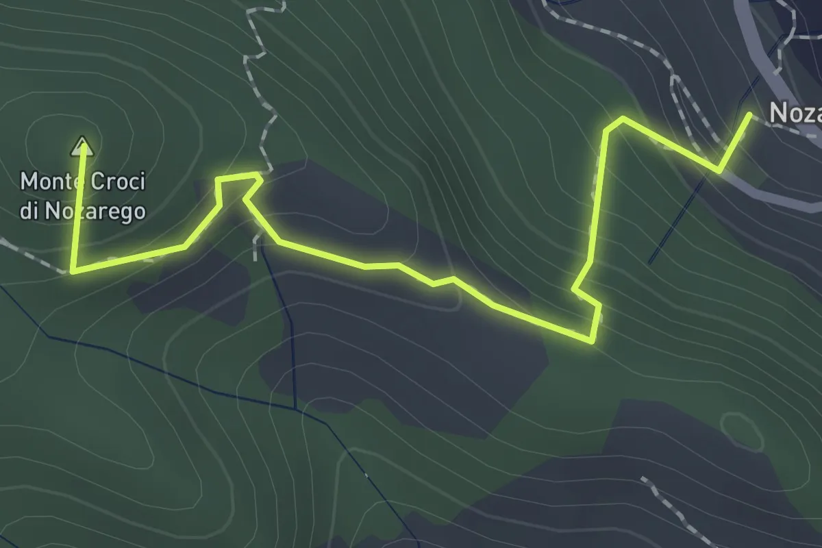
Medium · Summit
Antica Via del Cifalco - deviazione Nozarego
2.2 km · ↑ 215 m · 58 min · 7 km away
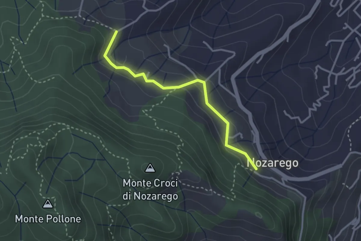
Easy · Trail
Nozarego – Costa Secca
2.8 km · ↑ 122 m · 55 min · 7 km away
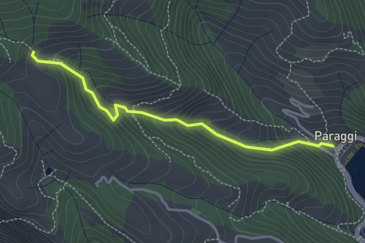
Easy · Trail
Paraggi – Mulino del Gassetta
2.5 km · ↑ 242 m · 1 h 8 min · 7 km away
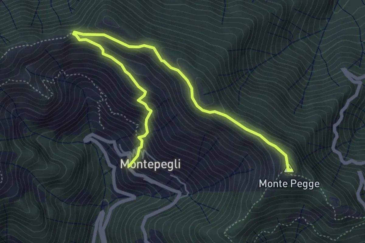
Medium · Summit
Montepegli - Monte Pegge
6.4 km · ↑ 423 m · 2 h 26 min · 7 km away
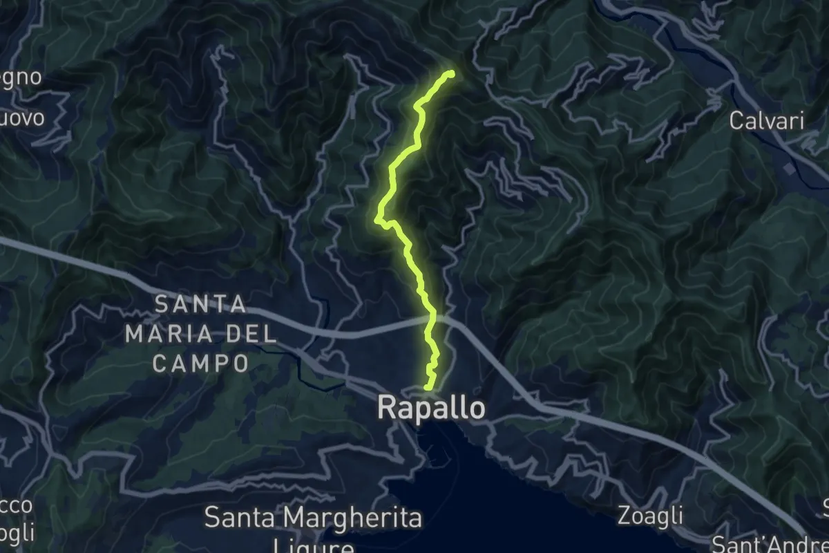
Medium · Summit
Rapallo – Monte Pegge
10.4 km · ↑ 730 m · 4 h 2 min · 7 km away
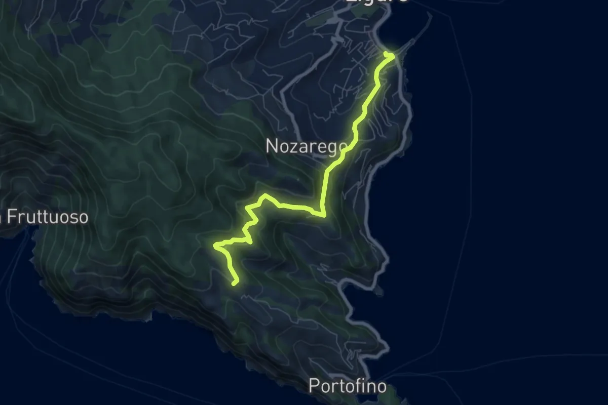
Medium · Trail
Santa Margherita Ligure – Olmi
7.2 km · ↑ 416 m · 2 h 36 min · 7 km away
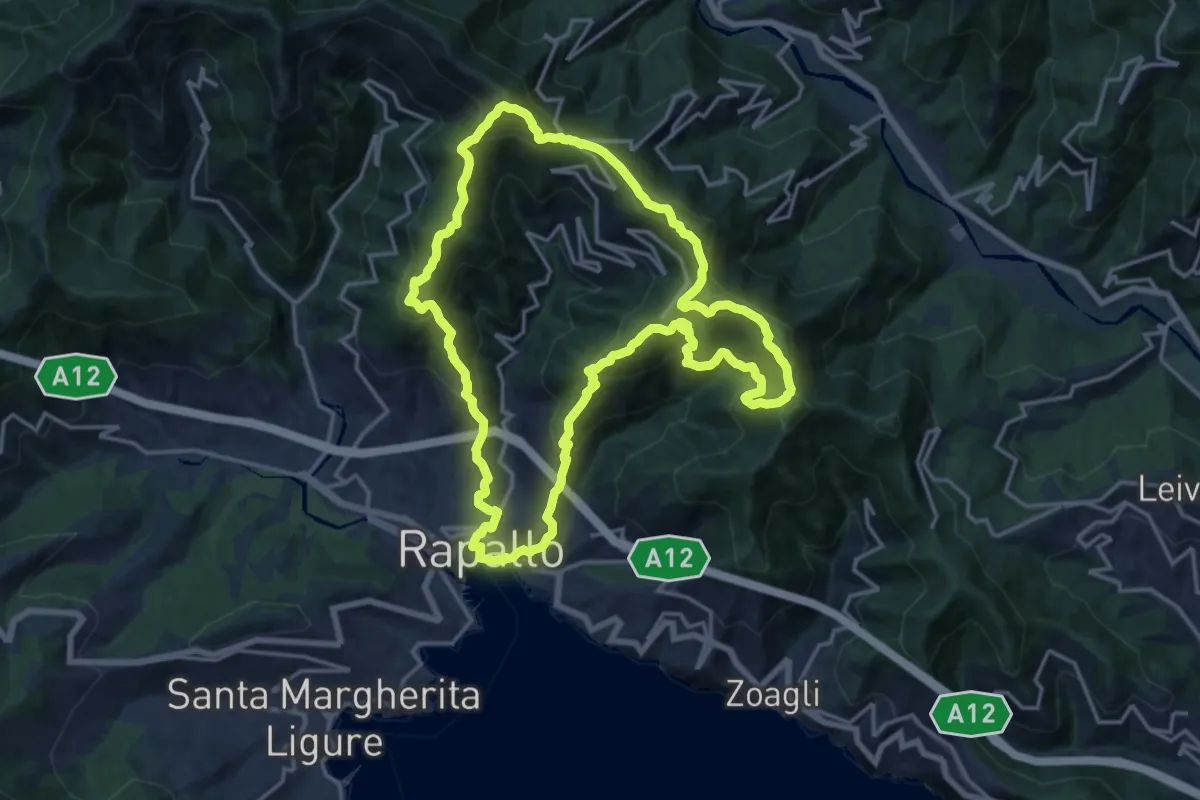
Demanding · Summit
Trail di Rapallo
16.8 km · ↑ 1227 m · 6 h 52 min · 7 km away
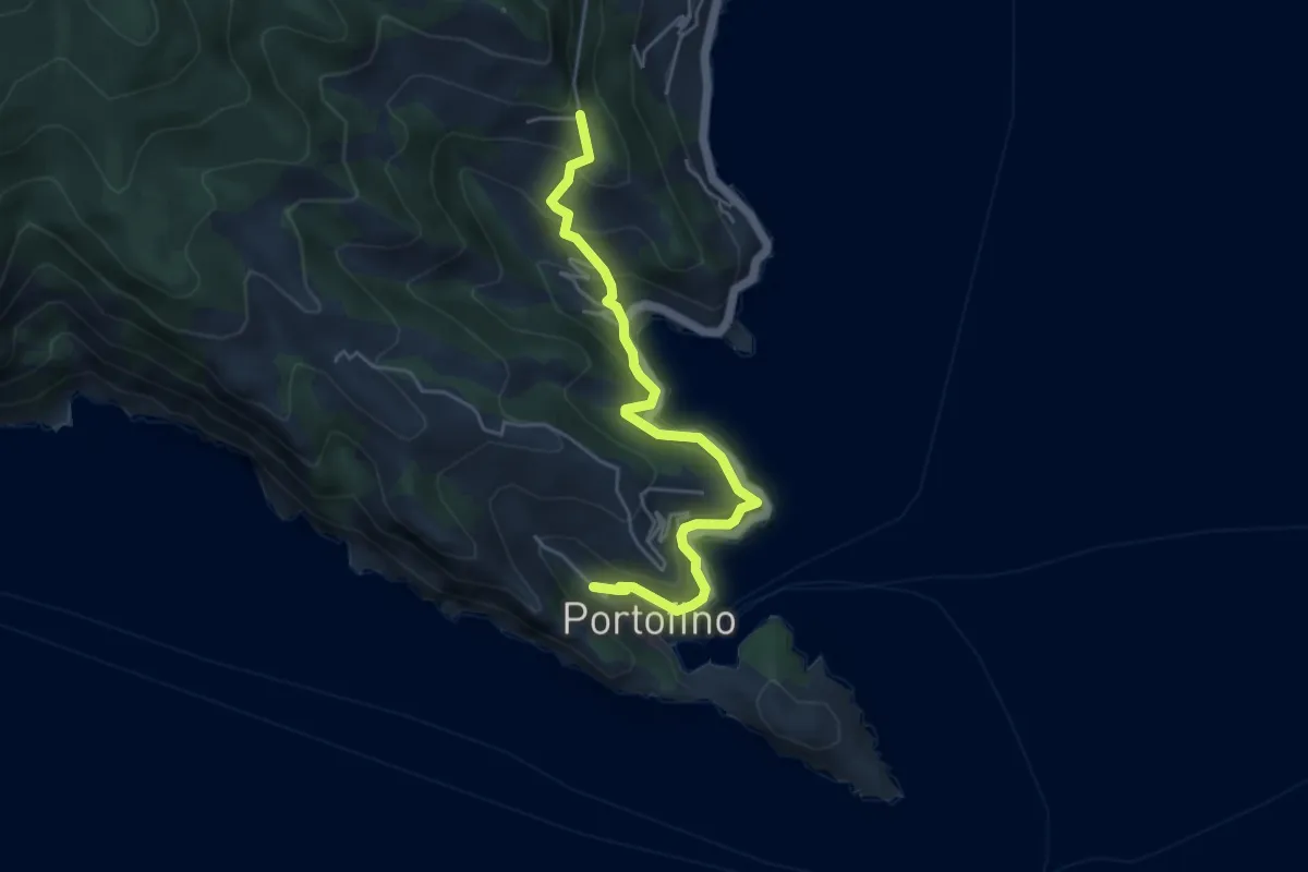
Medium · Trail
Portofino – Gave
5.0 km · ↑ 456 m · 2 h 10 min · 7 km away
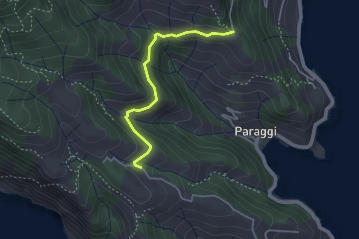
Medium · Trail
Terruzzo – Cappelletta delle Gave
2.9 km · ↑ 97 m · 54 min · 7 km away
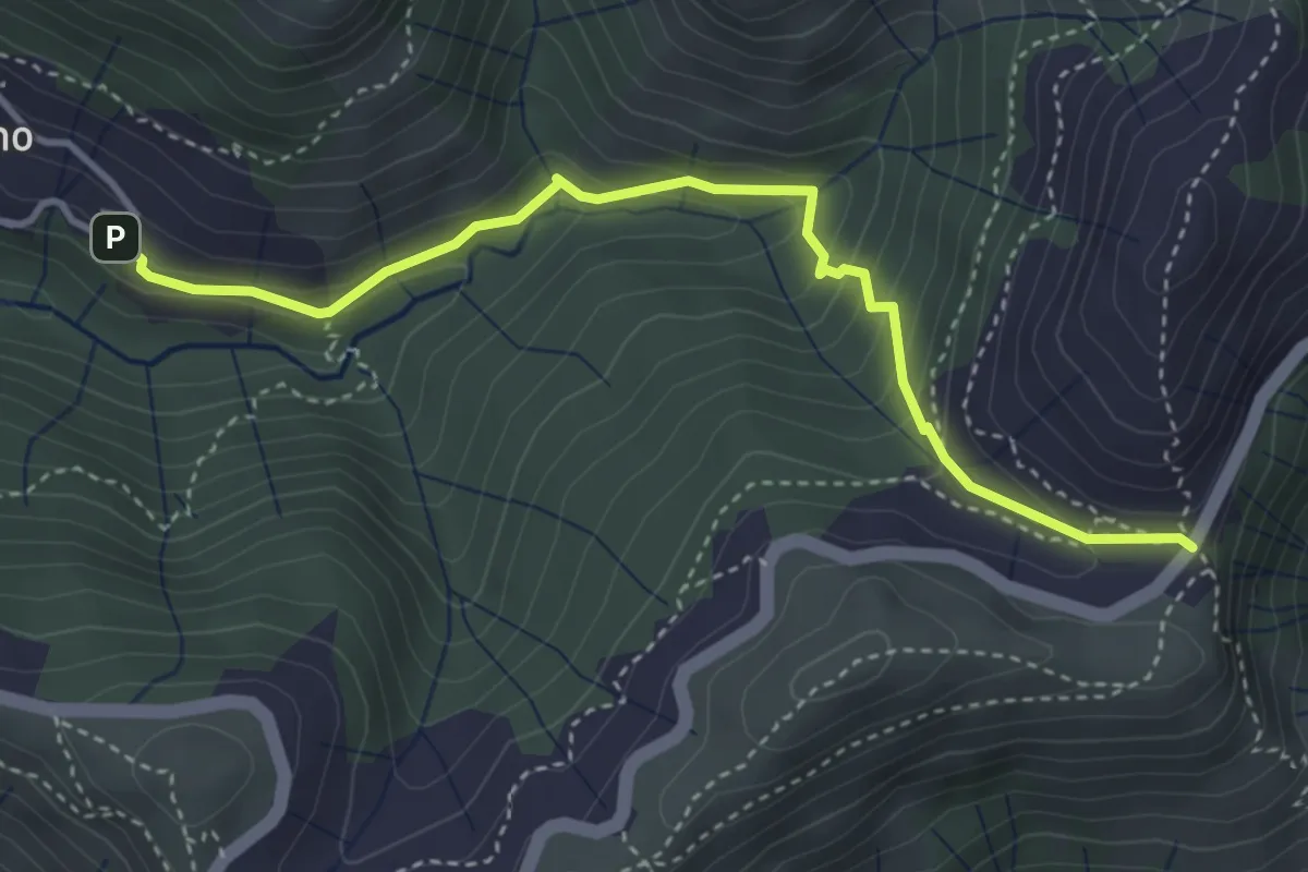
Medium · Trail
Cisiano - Case Becco
4.1 km · ↑ 280 m · 1 h 34 min · 7 km away
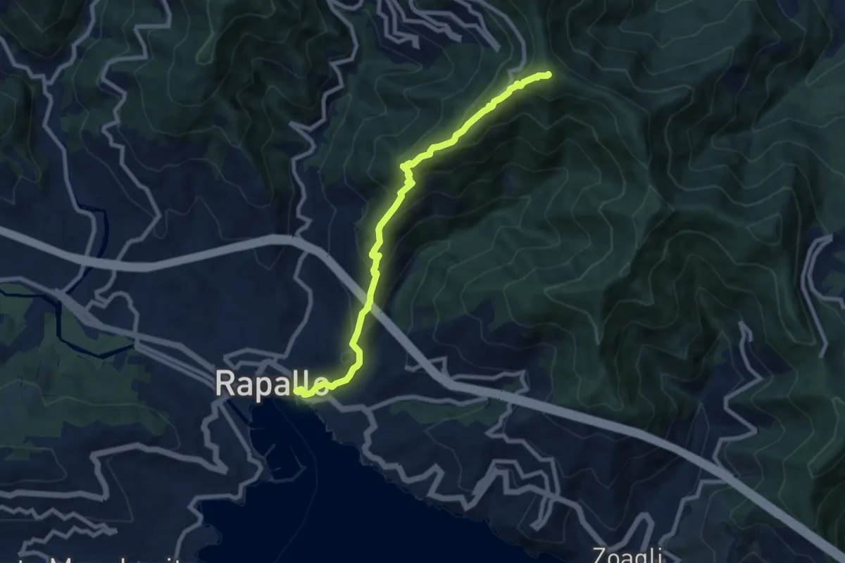
Medium · Summit
Rapallo – Monte Rosa
8.2 km · ↑ 654 m · 3 h 21 min · 7 km away
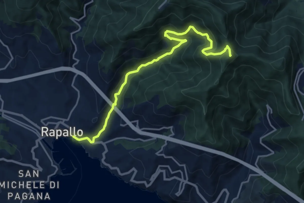
Medium · Summit
Rapallo - Rio Tuja - M. Castello
11.4 km · ↑ 733 m · 4 h 17 min · 7 km away
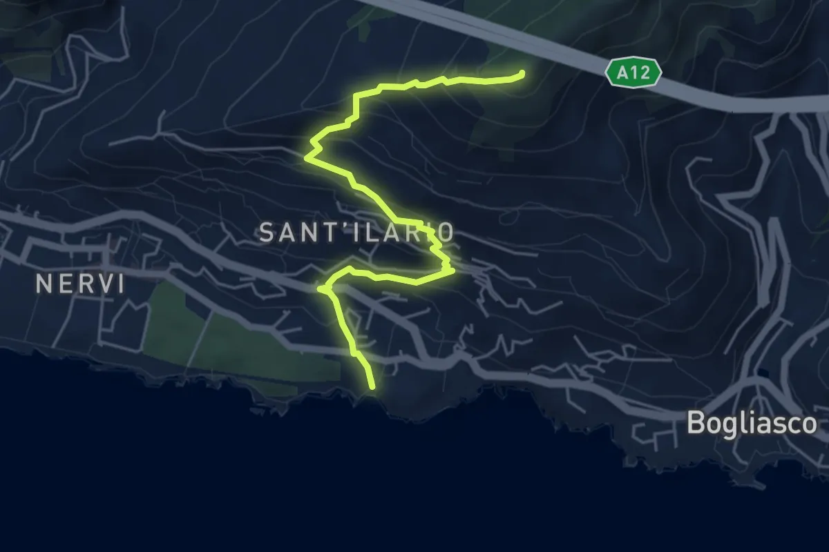
Medium · Summit
Nervi - Monte Giugo
5.3 km · ↑ 472 m · 2 h 16 min · 8 km away
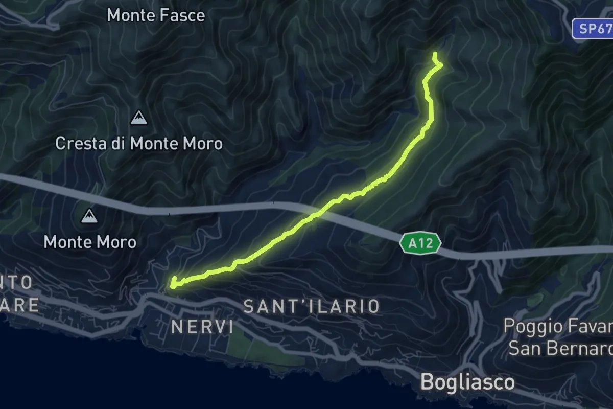
Medium · Trail
Pro Canyon - Torrente Nervi
7.2 km · ↑ 386 m · 2 h 32 min · 8 km away
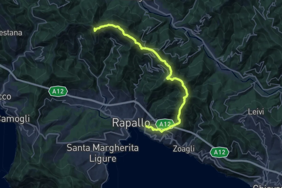
Demanding · Summit
Rapallo – Monte Manico del Lume
23.1 km · ↑ 1379 m · 8 h 27 min · 8 km away
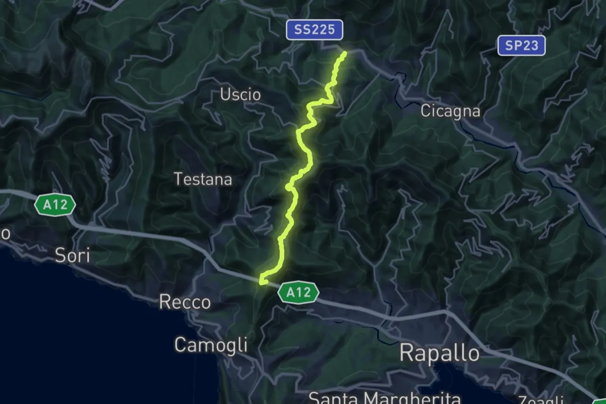
Demanding · Summit
Itinerario dei 2 Golfi
18.3 km · ↑ 1180 m · 6 h 52 min · 8 km away
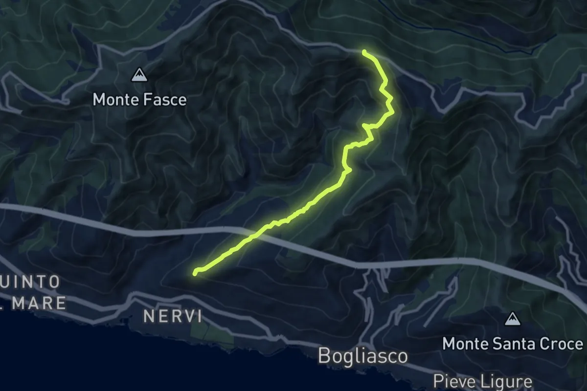
Medium · Trail
S. Ilario - Monte Fasce
9.2 km · ↑ 650 m · 3 h 34 min · 8 km away
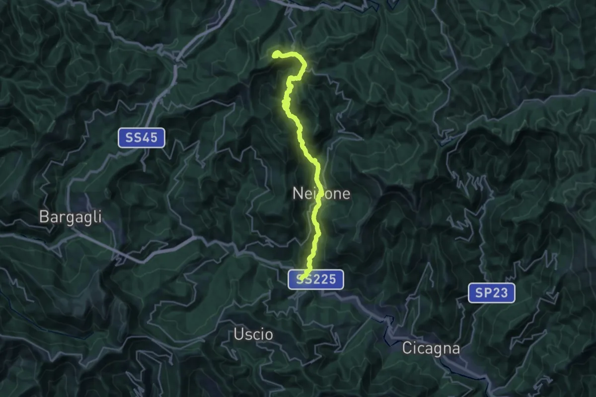
Demanding · Summit
I Feudi Fliscani
21.6 km · ↑ 1214 m · 7 h 44 min · 8 km away
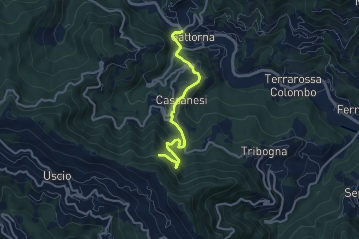
Medium · Trail
Gattorna - Innesto Itinerario Storico Colombiano
6.1 km · ↑ 414 m · 2 h 20 min · 8 km away
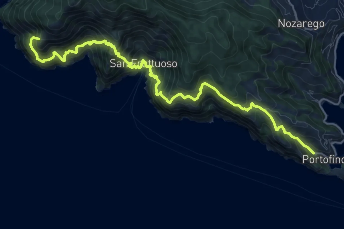
Demanding · Summit
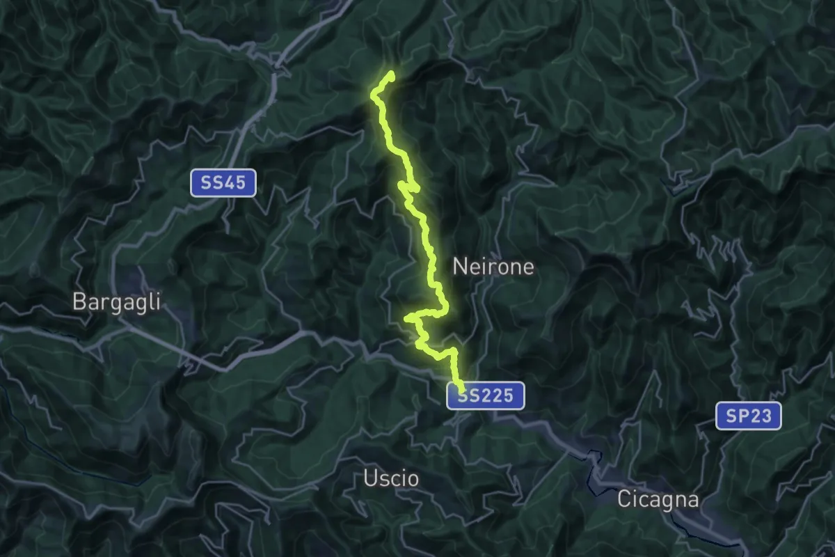
Camogli - San Rocco - Passo del Bacio - San Fruttuoso - Portofino mare
14.8 km · ↑ 1797 m · 7 h 23 min · 8 km away
Demanding · Summit
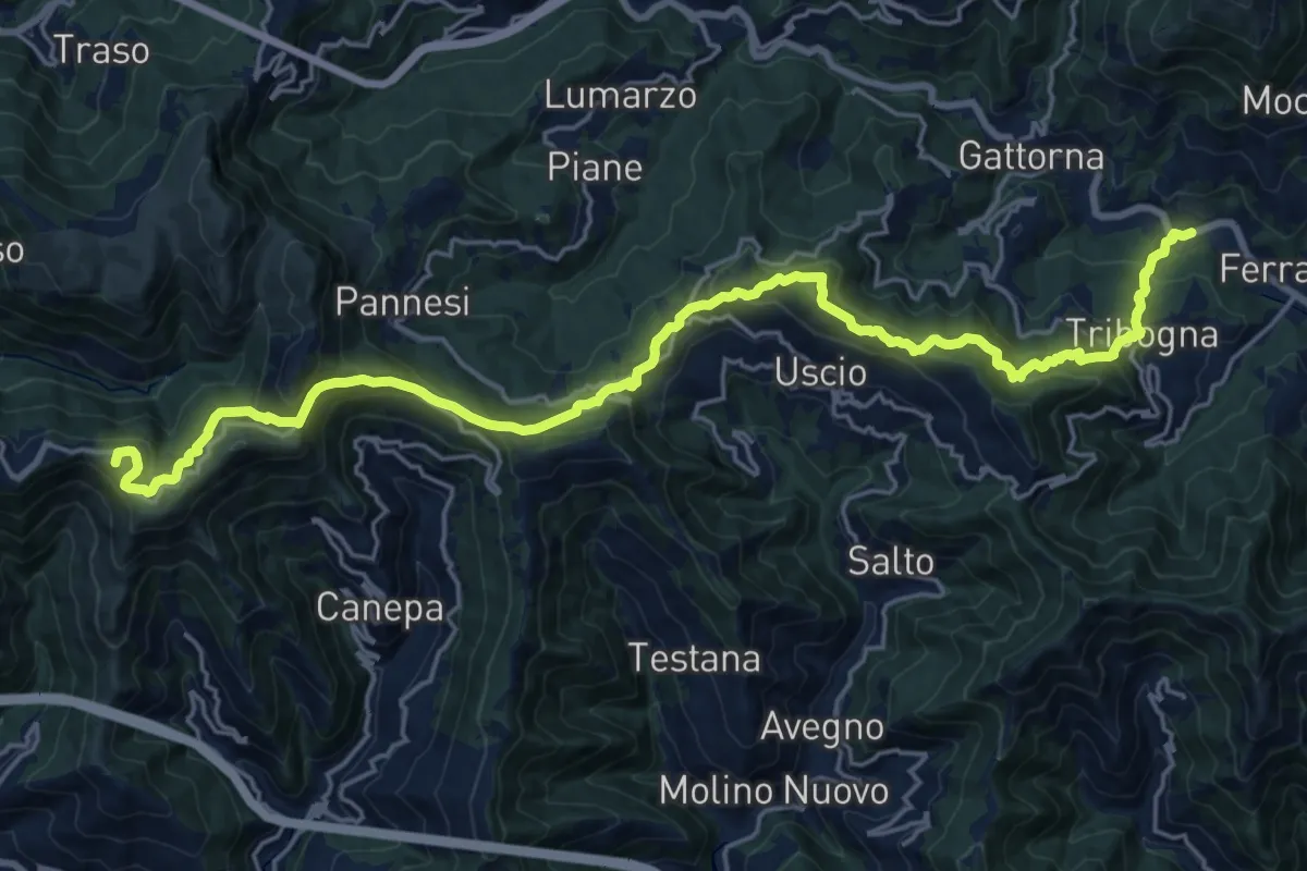
Gattorna - Ogno - Monte Lavagnola
22.3 km · ↑ 1289 m · 8 h 3 min · 8 km away
Demanding · Summit
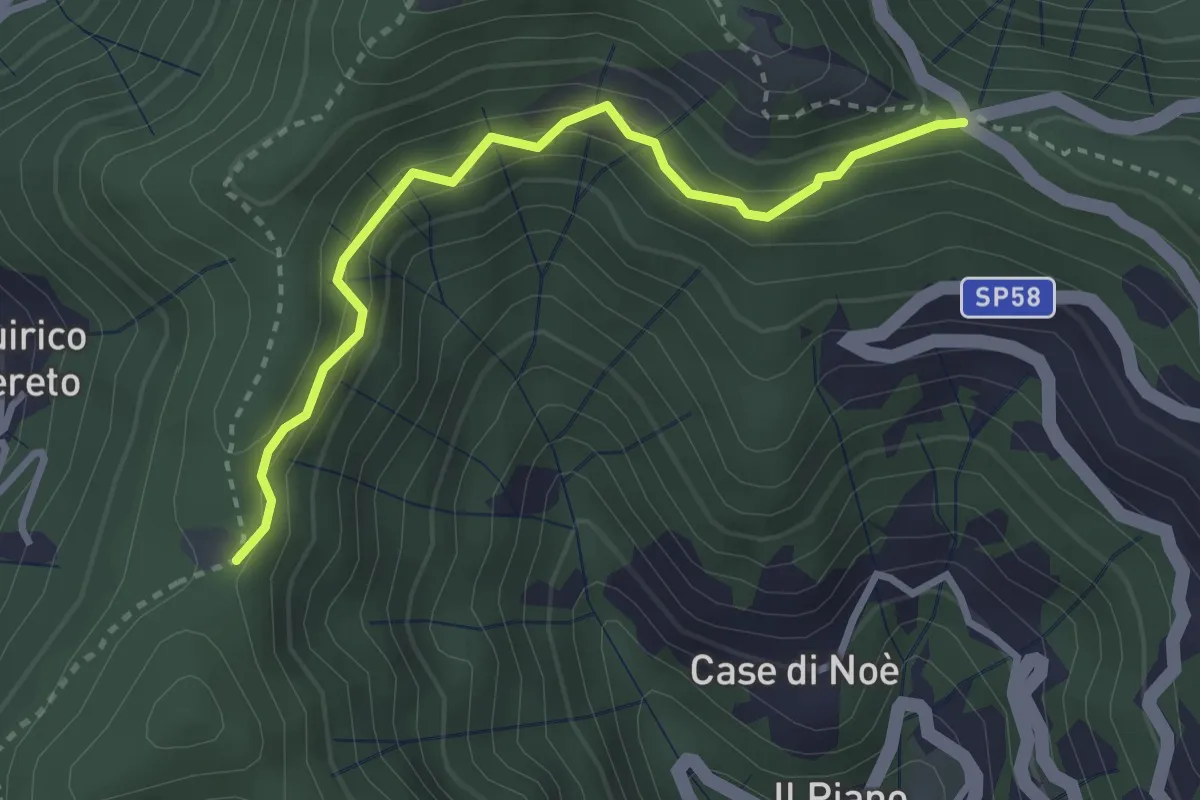
Itinerario Storico Colombiano (ISC)
24.8 km · ↑ 1346 m · 8 h 46 min · 8 km away
Medium · Trail
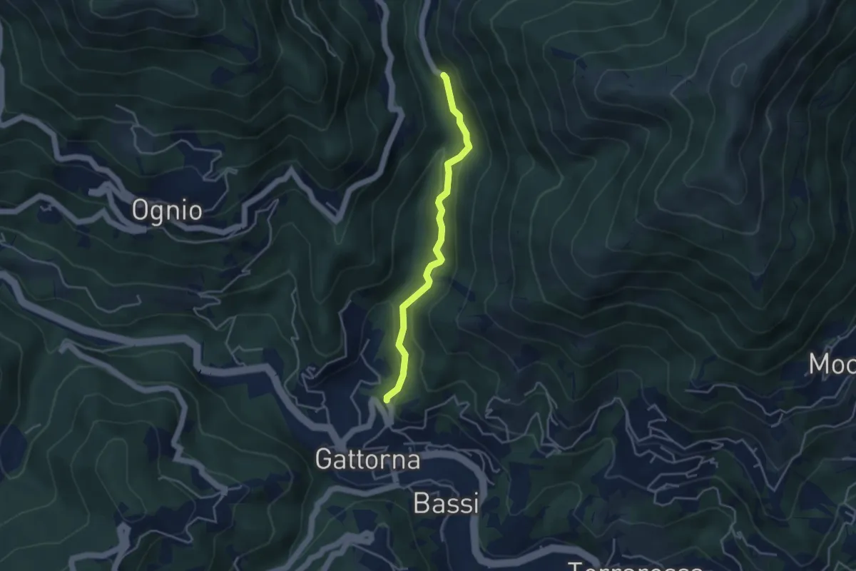
Passo della Crocetta - Piana dei Merli
3.1 km · ↑ 217 m · 1 h 13 min · 8 km away
Easy · Trail
Antica Via del Cifalco - variante asfalto Nairone/Gattorna 2
3.6 km · ↑ 191 m · 1 h 16 min · 8 km away
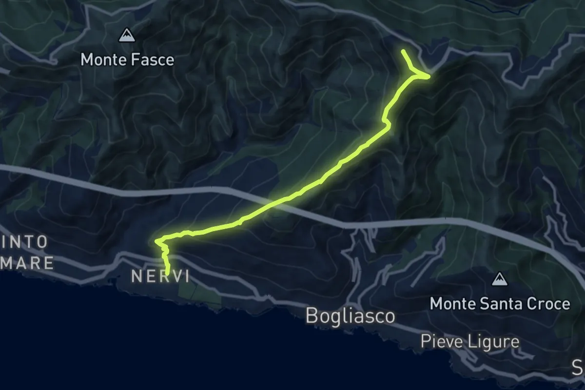
Medium · Summit
Nervi – Monte Cordona
10.4 km · ↑ 730 m · 4 h 2 min · 9 km away
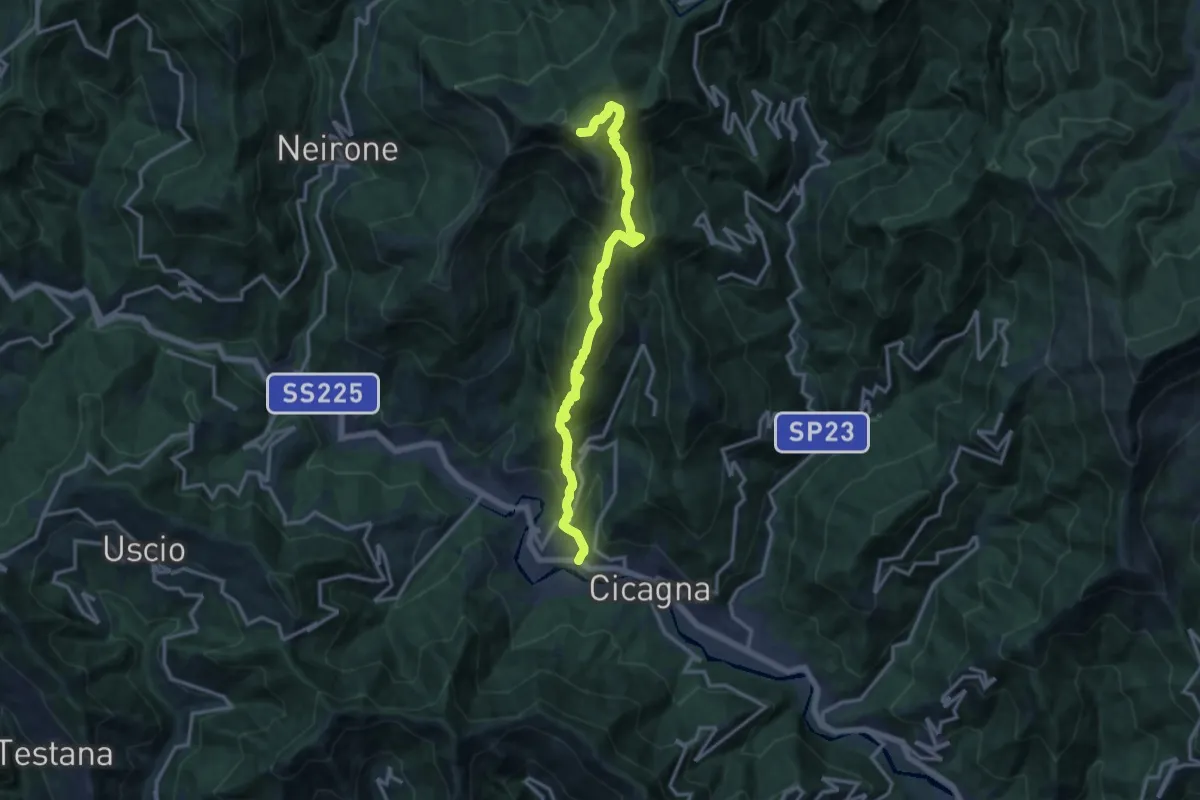
Demanding · Summit
Cicagna - Acquapendente - Monte Caucaso - Barbagelata
14.4 km · ↑ 1261 m · 6 h 7 min · 9 km away
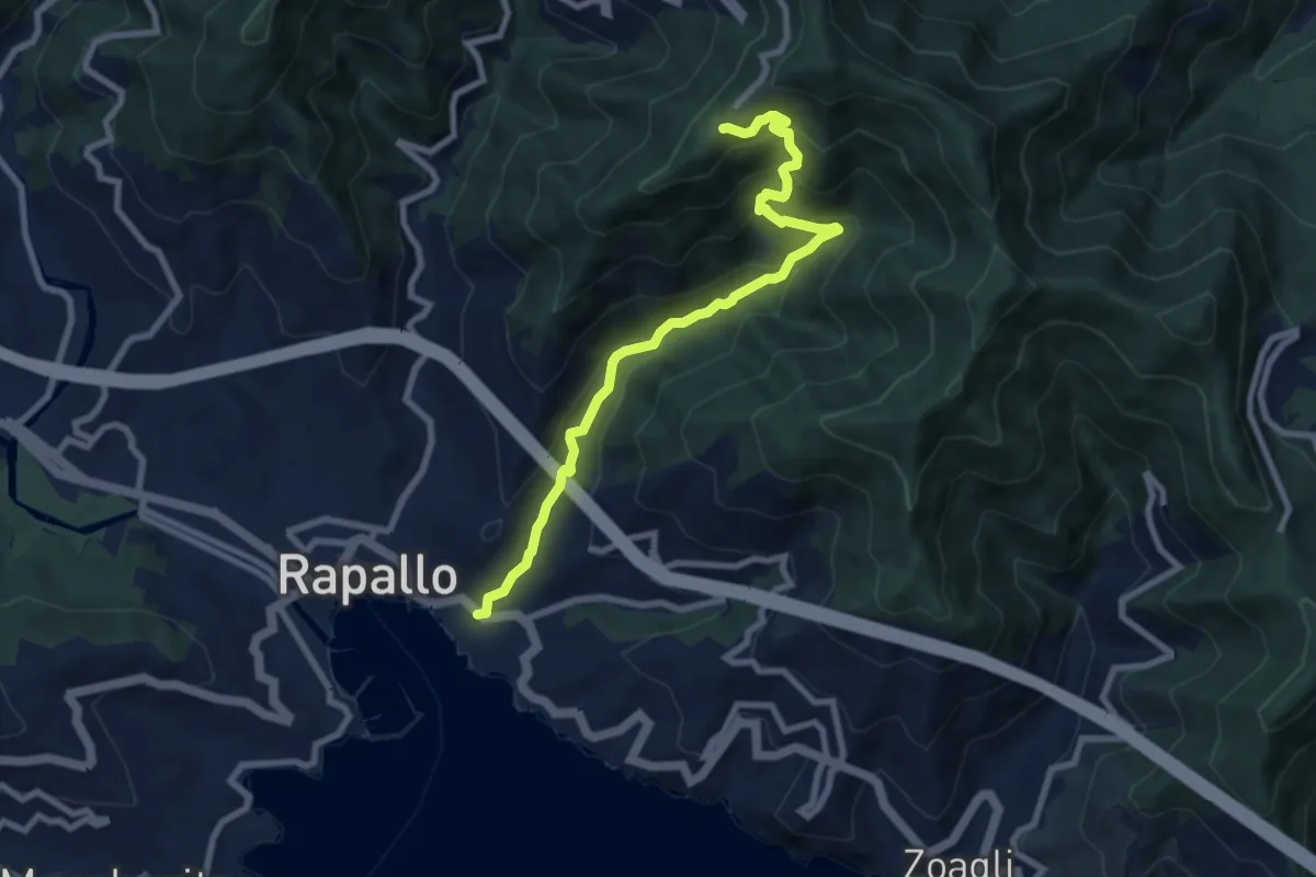
Medium · Trail
Rapallo - Santuario di Montallegro
8.6 km · ↑ 624 m · 3 h 22 min · 9 km away
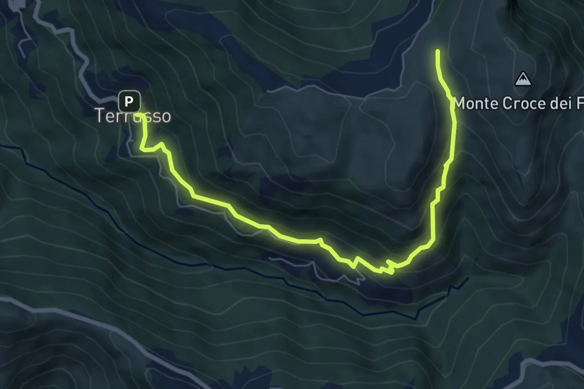
Medium · Trail
Terrusso - Cisiano - Piano della Speranza
7.6 km · ↑ 492 m · 2 h 51 min · 9 km away
Easy · Trail
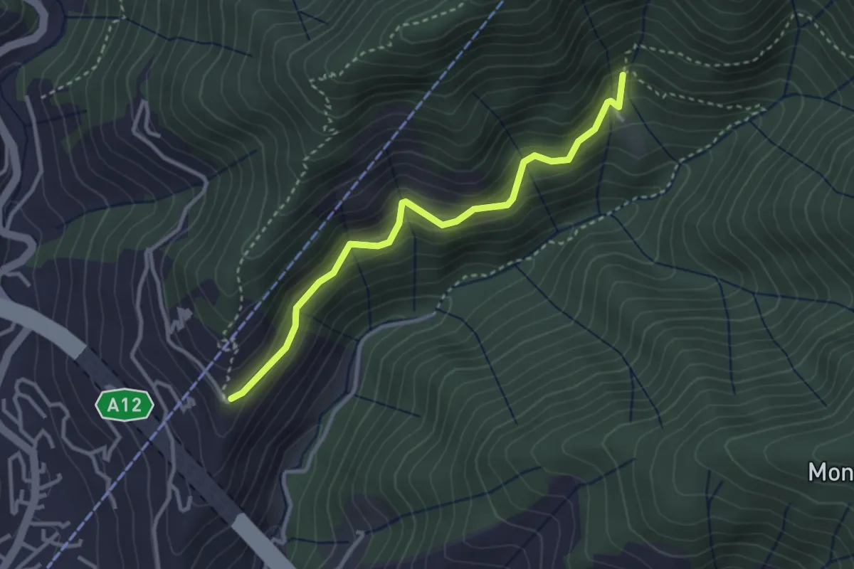
Case Costruccio - Il Pellegrino
3.2 km · ↑ 280 m · 1 h 22 min · 9 km away
Medium · Summit
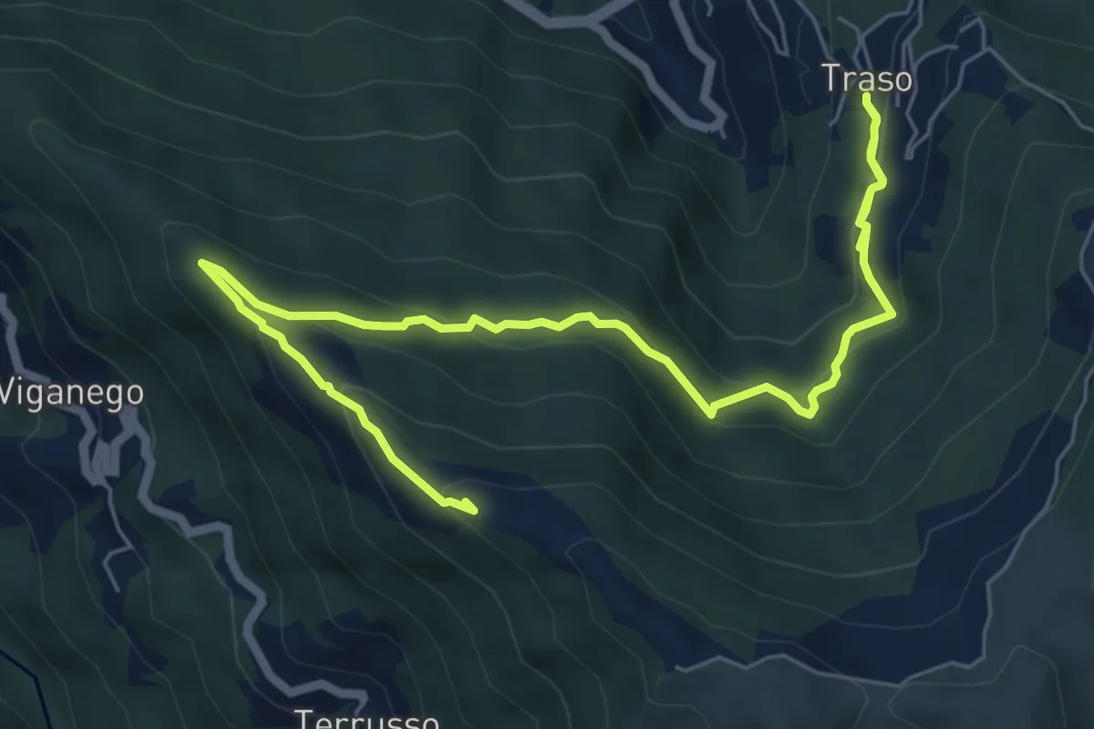
Traso - Colle Speranza
8.5 km · ↑ 567 m · 3 h 14 min · 9 km away
Medium · Summit
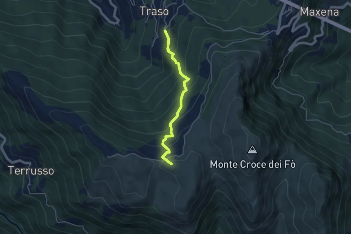
Traso Alta - Colle Speranza
3.5 km · ↑ 341 m · 1 h 34 min · 9 km away
Demanding · Trail
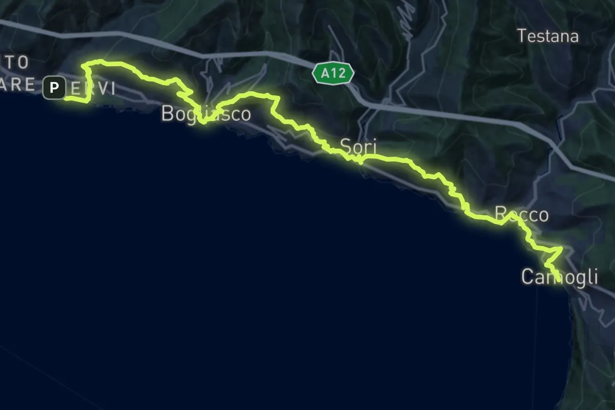
Sentiero Liguria - Tappa 11
16.1 km · ↑ 982 m · 6 h 10 min · 9 km away
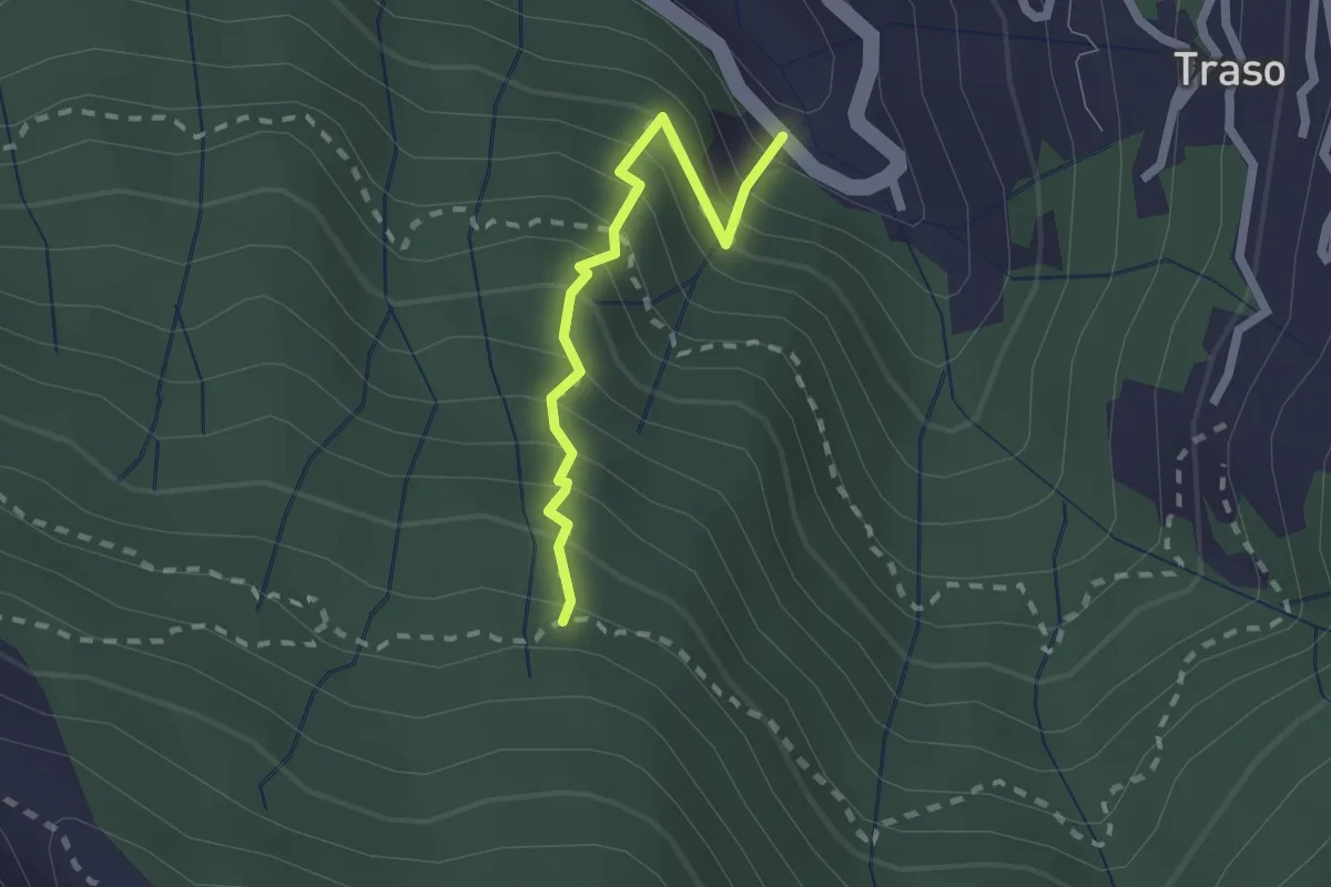
Medium · Trail
Traso - Trapena
1.9 km · ↑ 328 m · 1 h 10 min · 9 km away
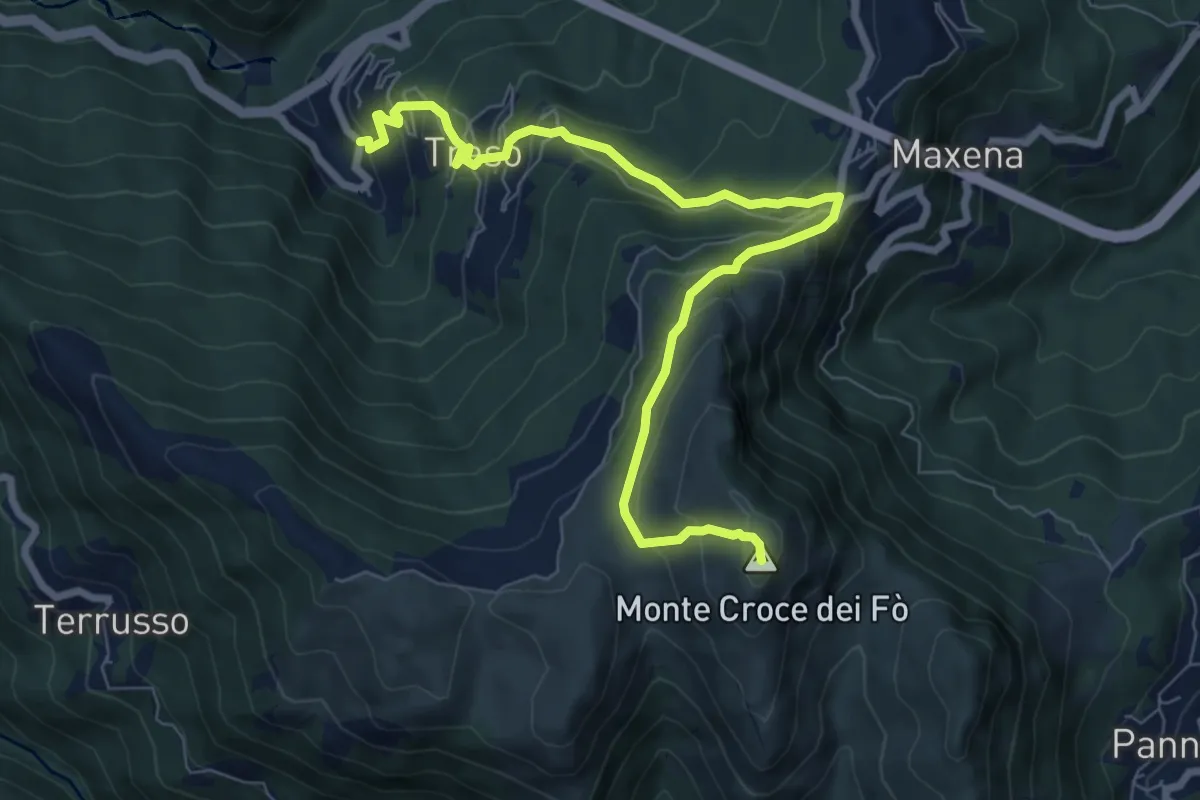
Medium · Summit
Traso - Sant'Alberto - Monte Croce dei Fo
8.8 km · ↑ 631 m · 3 h 27 min · 10 km away
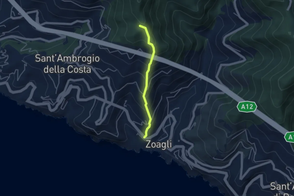
Medium · Trail
Via Scoglio - Intersezione con sentiero per monte Zuccarello
2.9 km · ↑ 393 m · 1 h 33 min · 10 km away
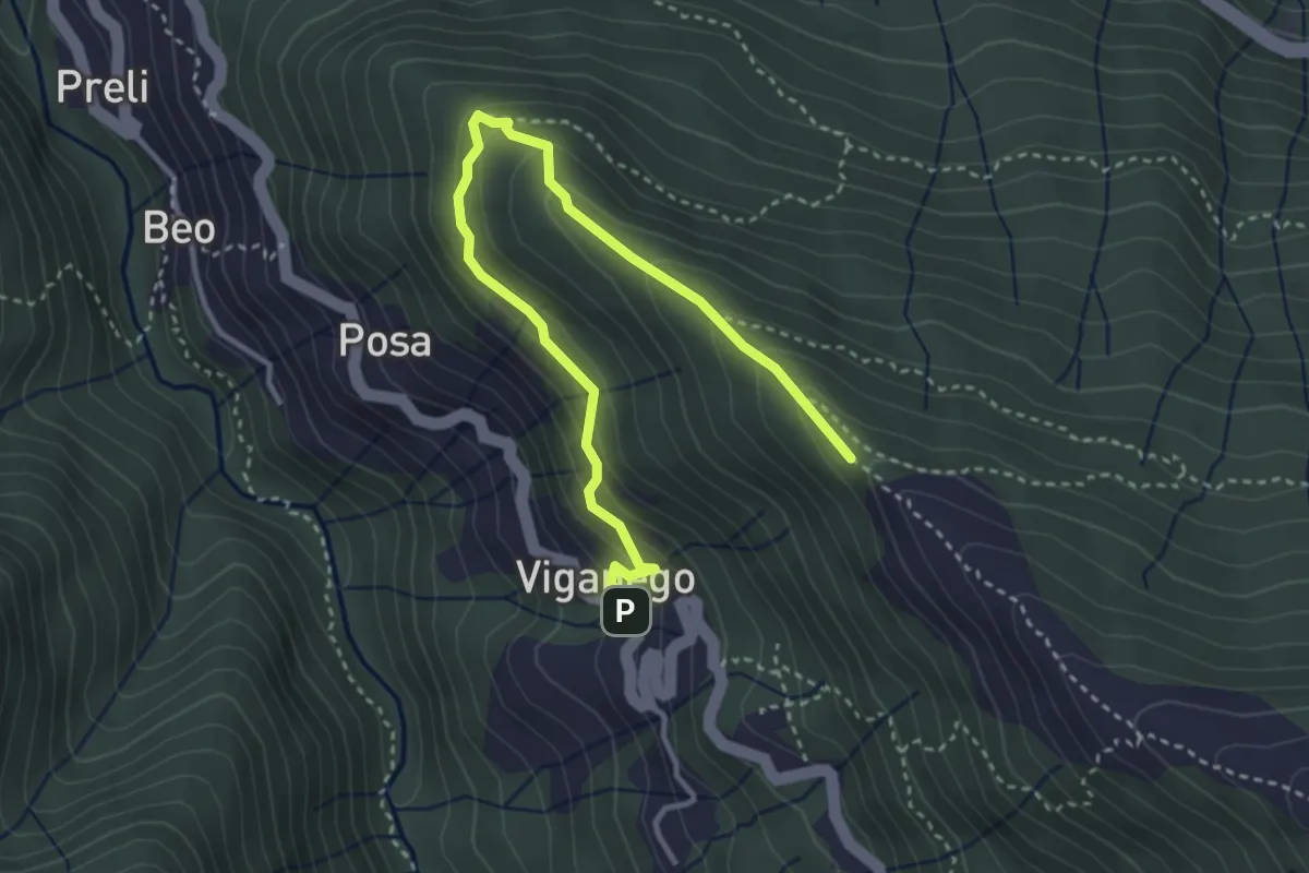
Medium · Trail
Viganego - costa Lione
4.2 km · ↑ 291 m · 1 h 37 min · 10 km away
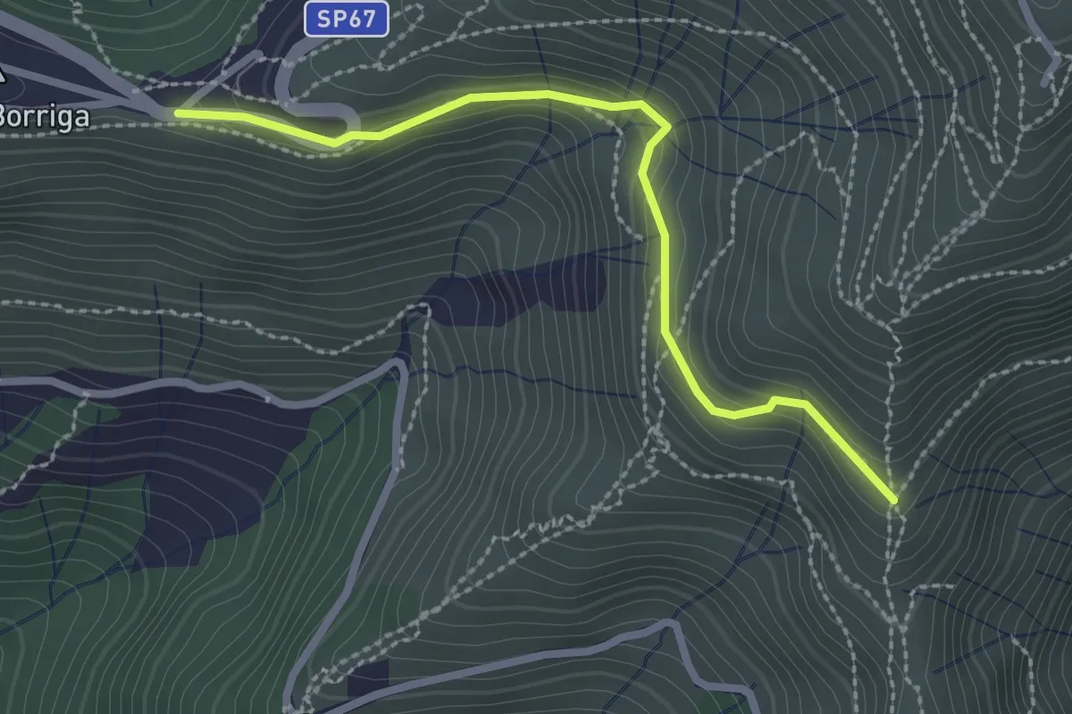
Easy · Trail
Bivio Liberale - Innesto su percorso Quinto-M. Fasce
2.6 km · ↑ 220 m · 1 h 5 min · 10 km away
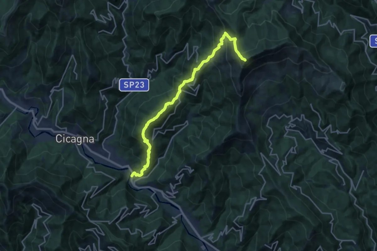
Demanding · Summit
Pianezza – Monte Ramaceto
16.9 km · ↑ 1626 m · 7 h 31 min · 10 km away
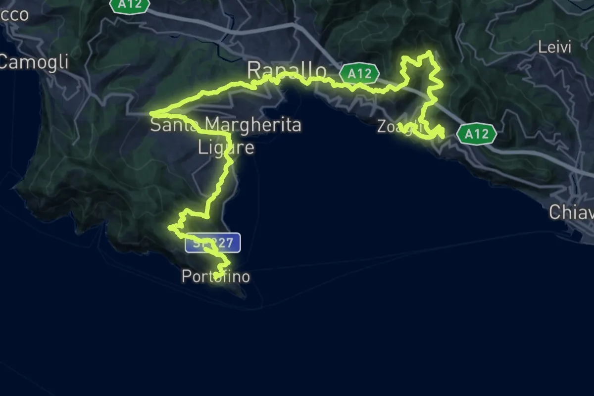
Demanding · Trail
Sentiero Liguria - Tappa 9
24.4 km · ↑ 1405 m · 9 h 8 min · 10 km away
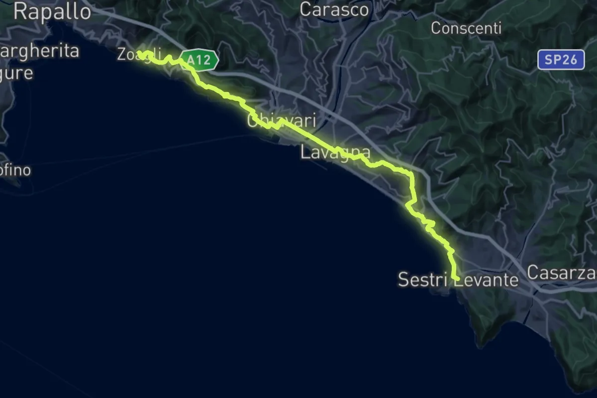
Medium · Trail
Sentiero Liguria - Tappa 8
16.9 km · ↑ 691 m · 5 h 45 min · 10 km away
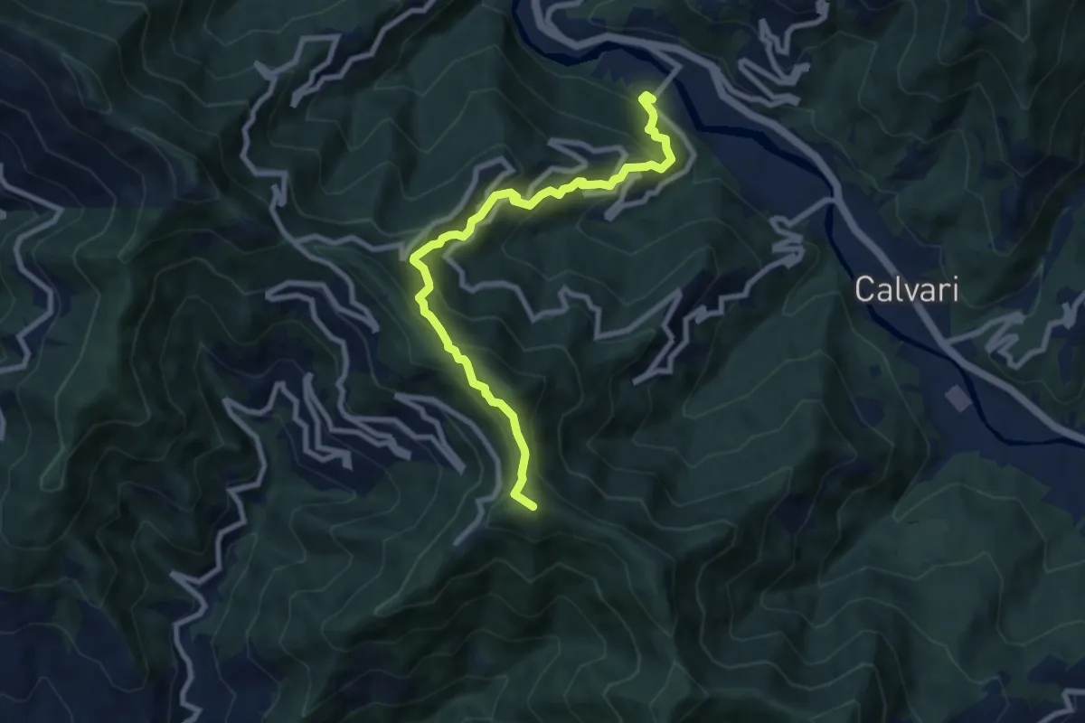
Medium · Summit
Pian dei Ratti - Coreglia Ligure - Santuario di Montallegro
8.4 km · ↑ 736 m · 3 h 34 min · 10 km away
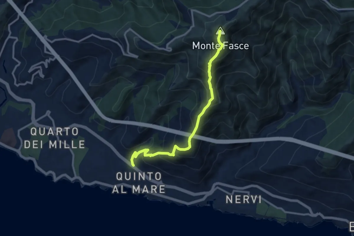
Medium · Summit
Quinto – Monte Fasce
7.9 km · ↑ 779 m · 3 h 34 min · 11 km away
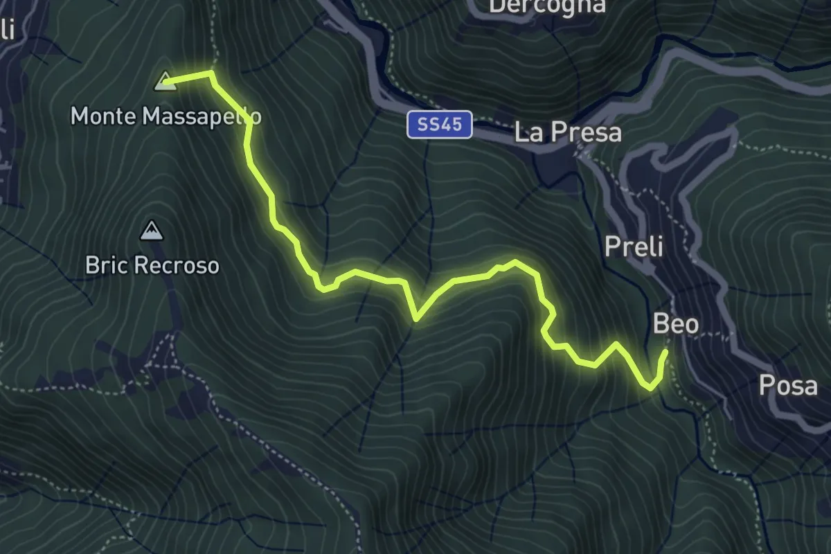
Medium · Summit
Fontanegli - Fisi
5.4 km · ↑ 495 m · 2 h 21 min · 11 km away
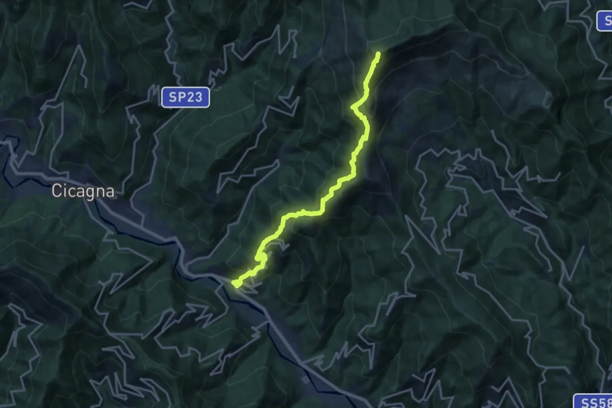
Demanding · Summit
Pian dei Ratti – Monte Ramaceto
14.4 km · ↑ 1457 m · 6 h 33 min · 11 km away
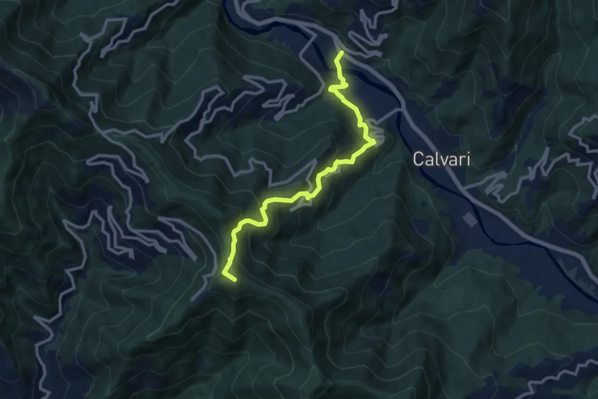
Medium · Summit
Sentiero Chichizola - Pian dei Ratti - Montallegro
8.2 km · ↑ 788 m · 3 h 39 min · 11 km away
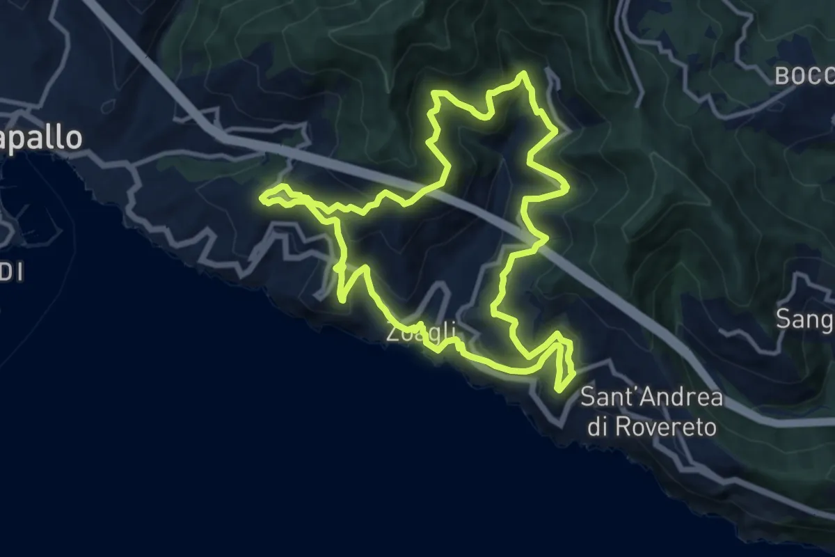
Medium · Trail
Giro dei cinque Campanili
11.0 km · ↑ 656 m · 4 h 10 min · 11 km away
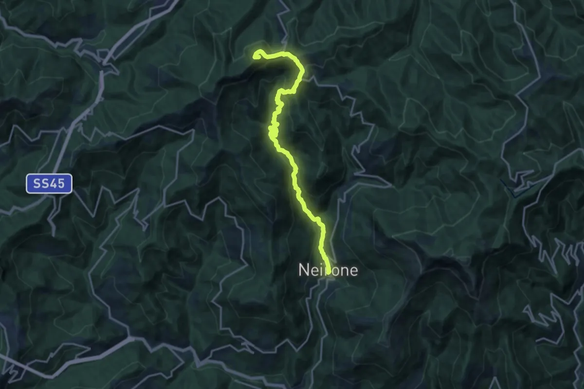
Demanding · Summit
Neirone - Passo del Portello - Monte Lavagnola
15.1 km · ↑ 959 m · 5 h 38 min · 11 km away
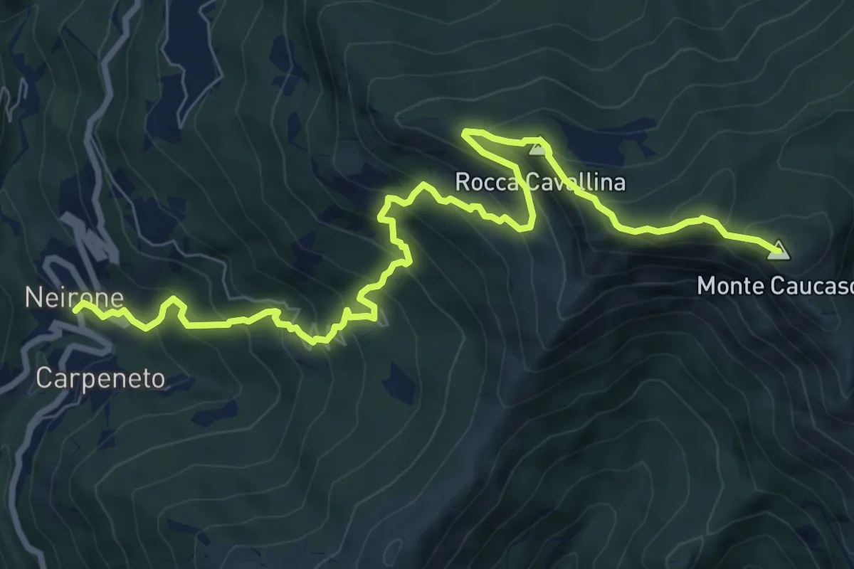
Demanding · Summit
Neirone – Monte Caucaso
10.0 km · ↑ 944 m · 4 h 25 min · 11 km away