Trails near Recco
151 hikes starting within 15 km, nearest first.
Nearest first, page 3 of 4
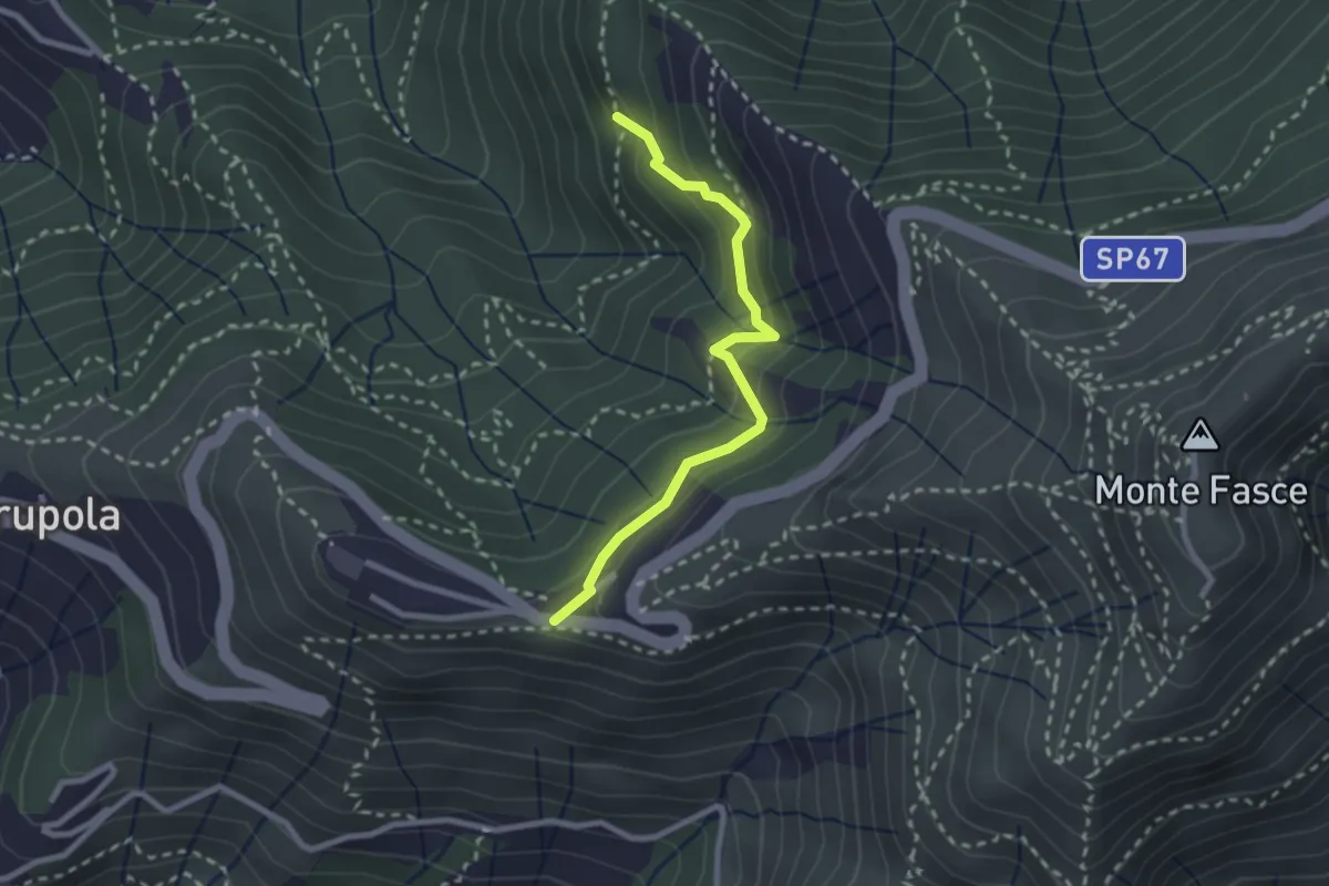
Medium · Trail
Liberale - Ciapon
2.5 km · ↑ 253 m · 1 h 8 min · 11 km away
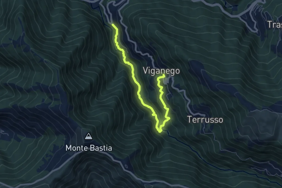
Medium · Trail
Preli - Viganego
7.3 km · ↑ 413 m · 2 h 37 min · 11 km away
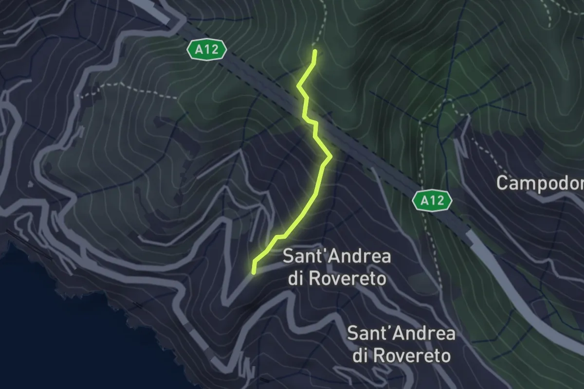
Easy · Trail
San Pietro - Madonnetta
2.0 km · ↑ 275 m · 1 h 5 min · 11 km away
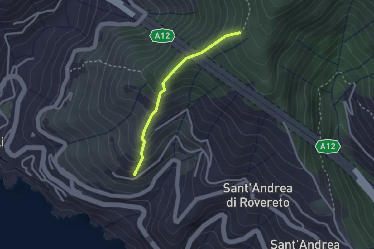
Easy · Trail
Via dei Tessitori - Via al Santuario della Madonnetta - Madonnetta
2.0 km · ↑ 258 m · 1 h 2 min · 11 km away
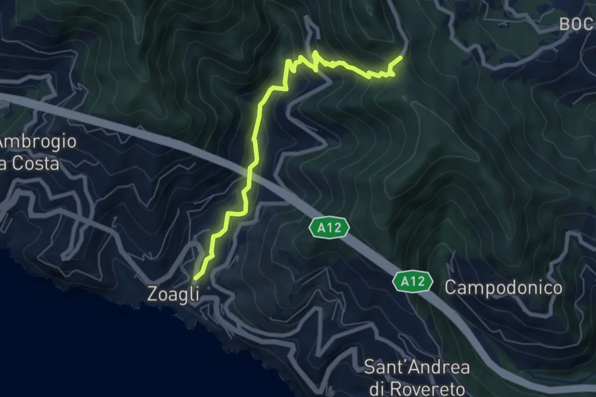
Medium · Trail
Via dei Mulini - Semorile - Passo dell'Anchetta
6.3 km · ↑ 529 m · 2 h 38 min · 11 km away
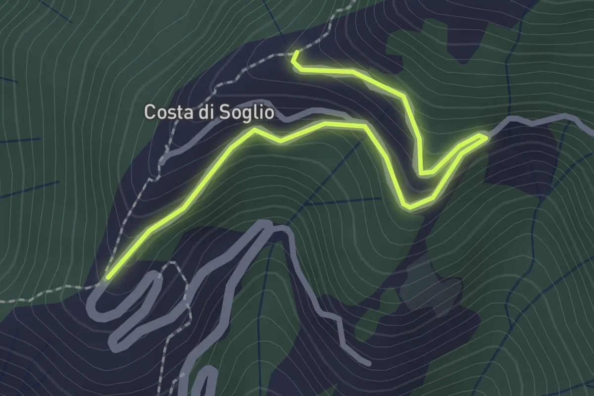
Easy · Trail
Variante Costa di Soglio
2.6 km · ↑ 252 m · 1 h 10 min · 11 km away
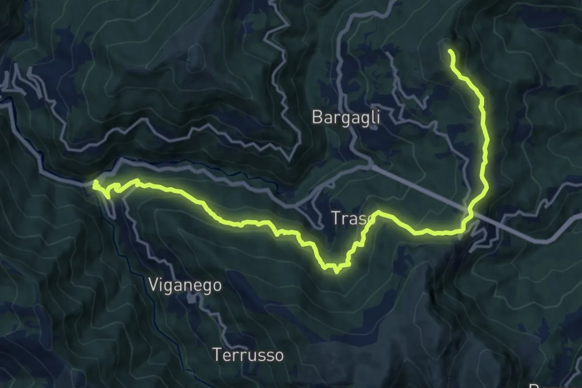
Demanding · Summit
La Presa - S. Alberto - Monte Croce di Bragalla
17.3 km · ↑ 979 m · 6 h 12 min · 11 km away
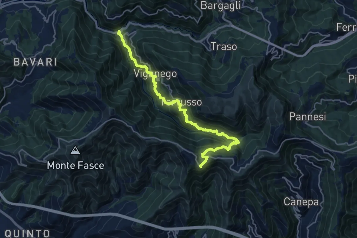
Demanding · Trail
Preli - Passo Cordona
16.5 km · ↑ 1290 m · 6 h 42 min · 11 km away
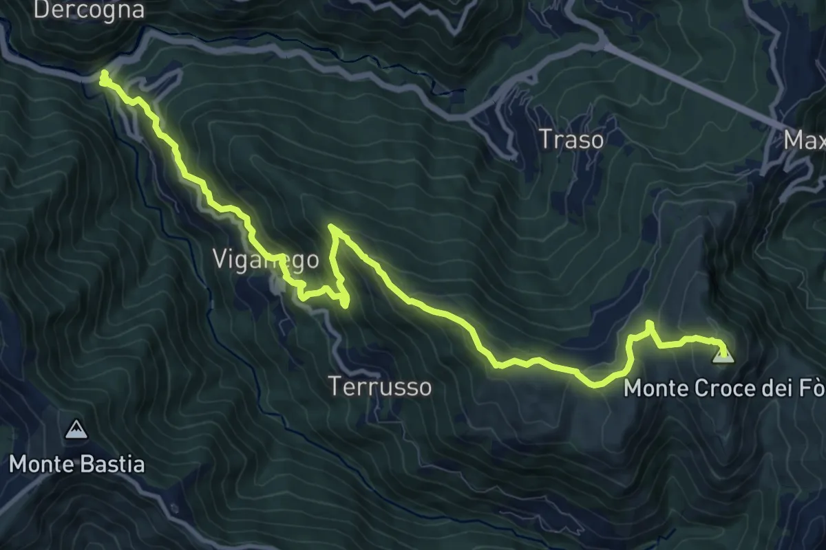
Demanding · Summit
La Presa – Monte Croce dei Fo
13.8 km · ↑ 1012 m · 5 h 27 min · 11 km away
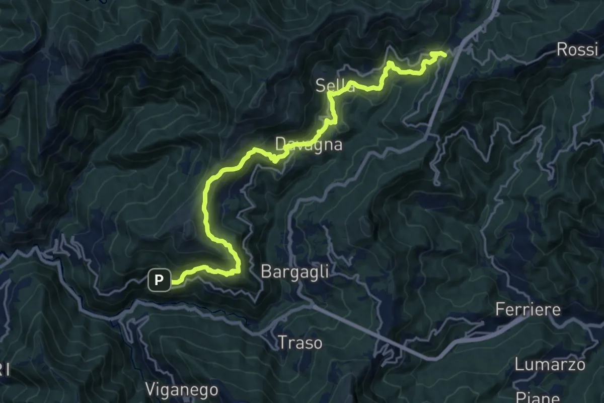
Demanding · Trail
Meco – Scoffera
19.9 km · ↑ 1074 m · 7 h 2 min · 12 km away
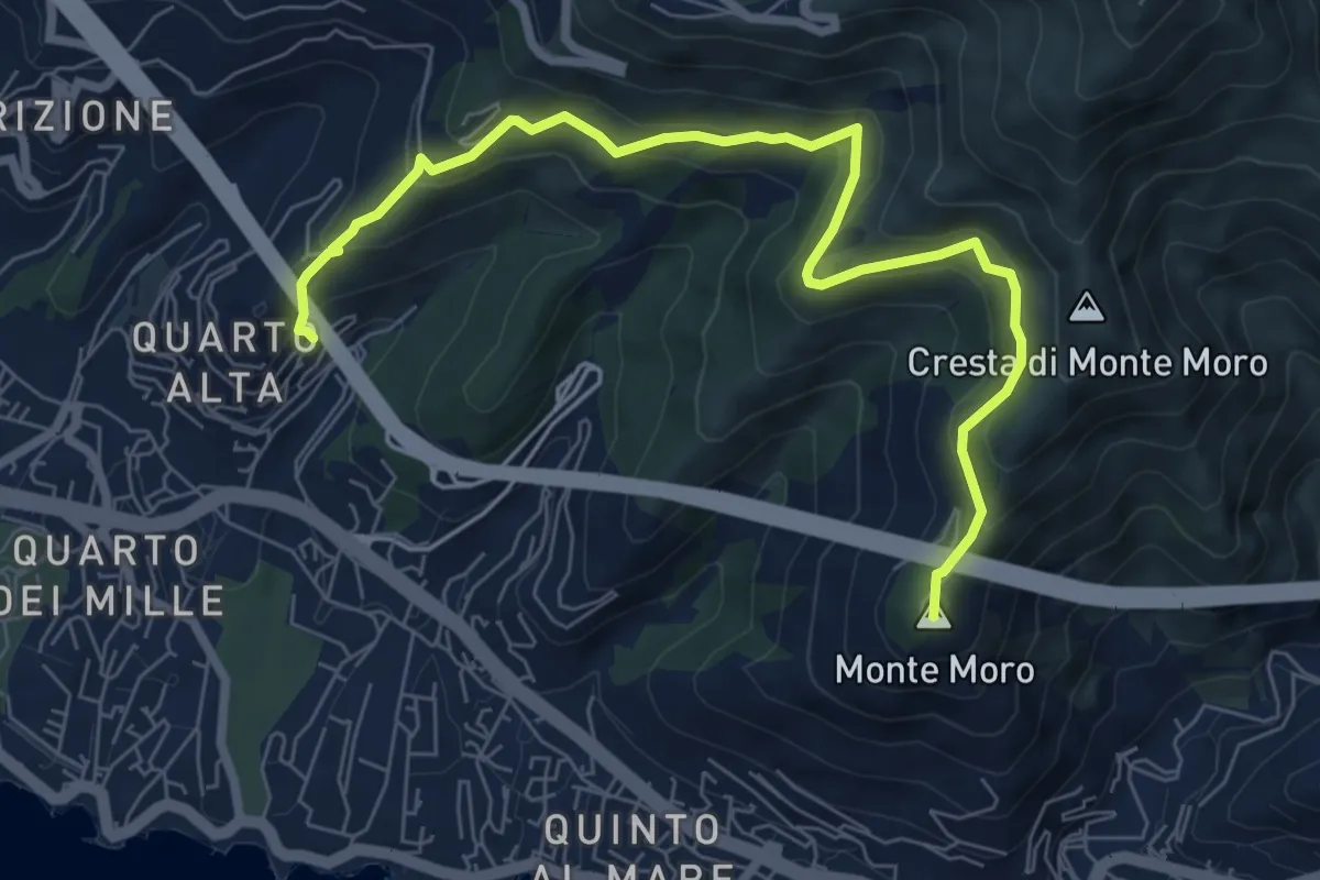
Medium · Summit
Nervi - Quarto Alta
8.4 km · ↑ 481 m · 3 h 2 min · 12 km away
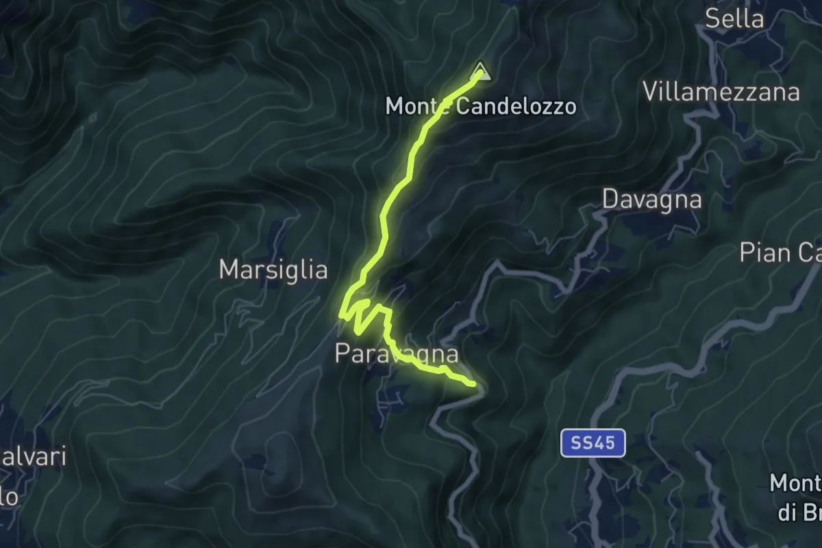
Medium · Summit
Davagna - Capenardo - Monte Candelozzo
6.1 km · ↑ 485 m · 2 h 29 min · 12 km away
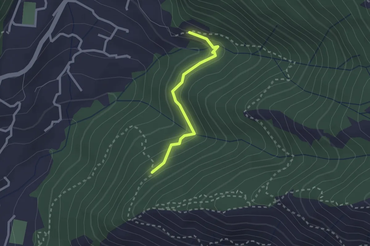
Easy · Trail
Eremita - Bavari
1.9 km · ↑ 136 m · 45 min · 12 km away
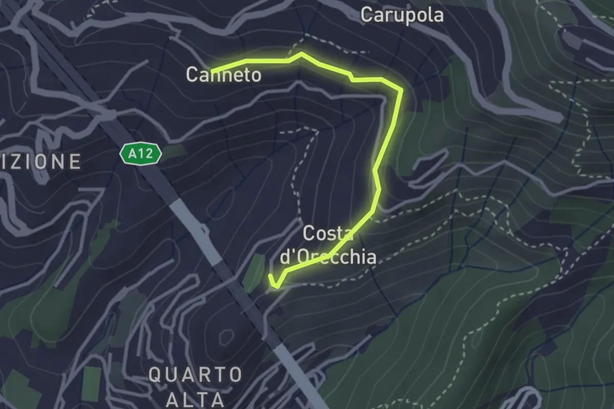
Easy · Trail
Quarto Alta - Canneto di Apparizione
2.8 km · ↑ 136 m · 58 min · 12 km away
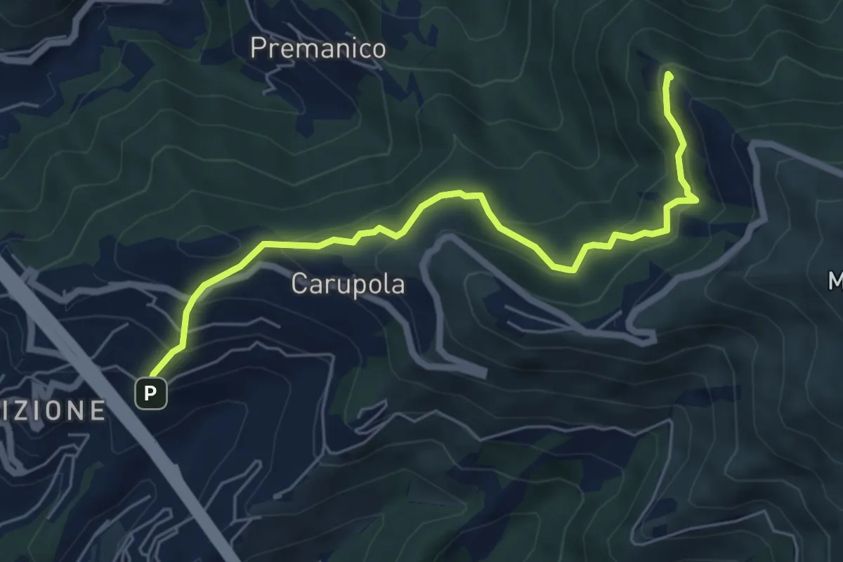
Medium · Summit
Apparizione - Punta Crovino
6.2 km · ↑ 445 m · 2 h 26 min · 12 km away
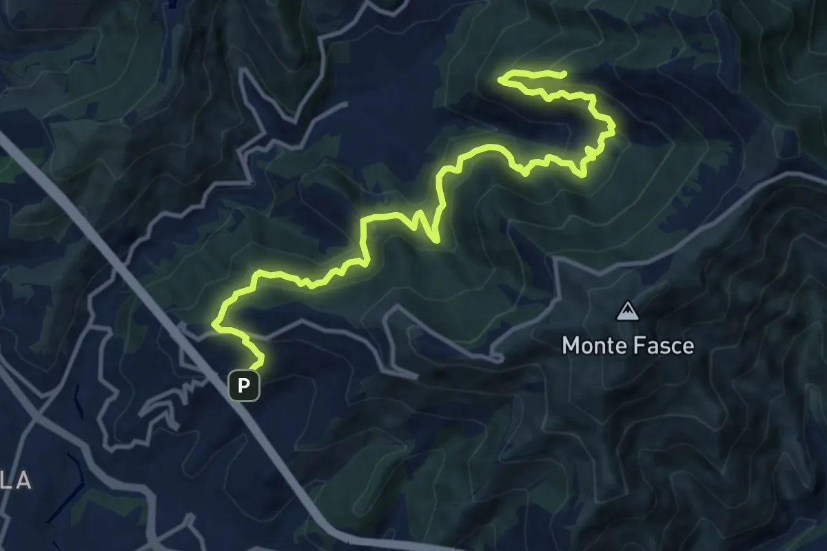
Demanding · Summit
Bavari – Apparizione
13.8 km · ↑ 1152 m · 5 h 45 min · 12 km away
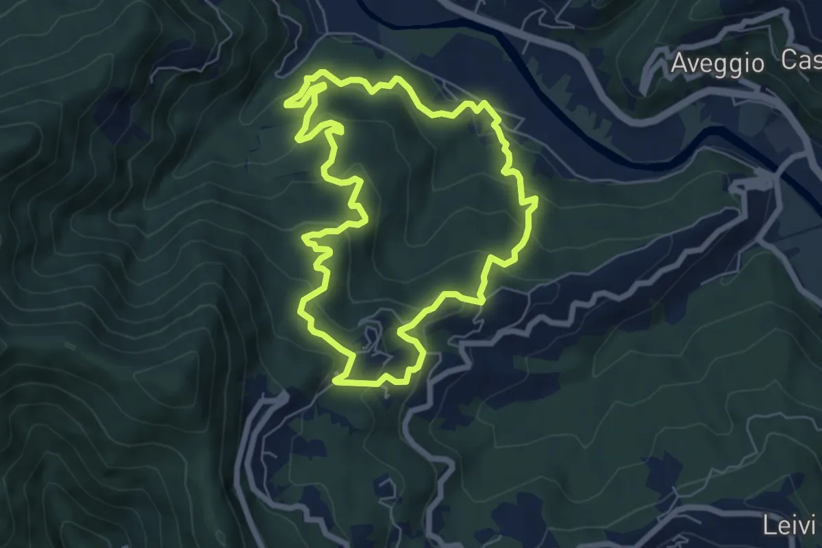
Medium · Trail
Anello di Camposasco e dell'Antica Abbazia
6.2 km · ↑ 386 m · 2 h 23 min · 12 km away
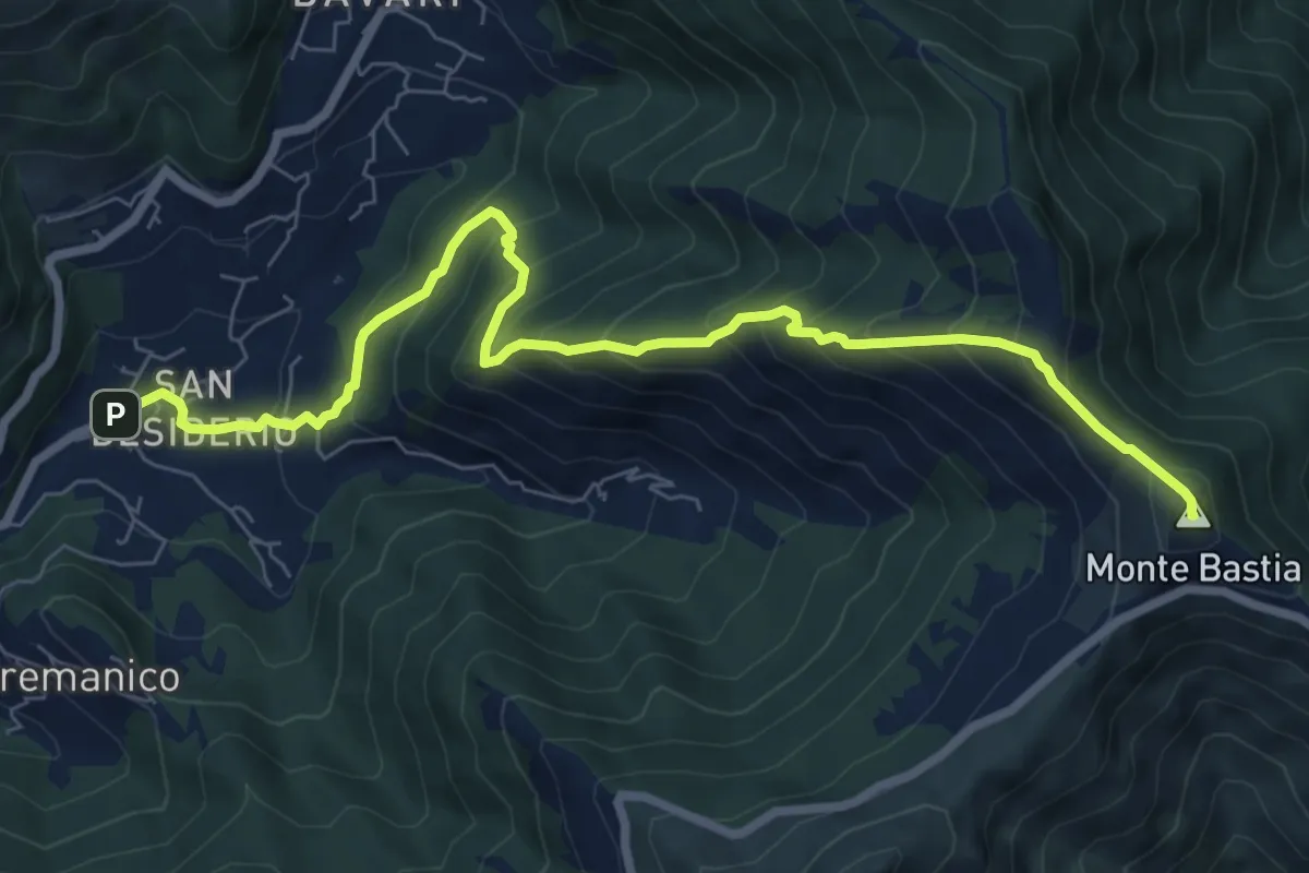
Medium · Summit
S. Desiderio - Monte Bastia
8.7 km · ↑ 791 m · 3 h 46 min · 13 km away
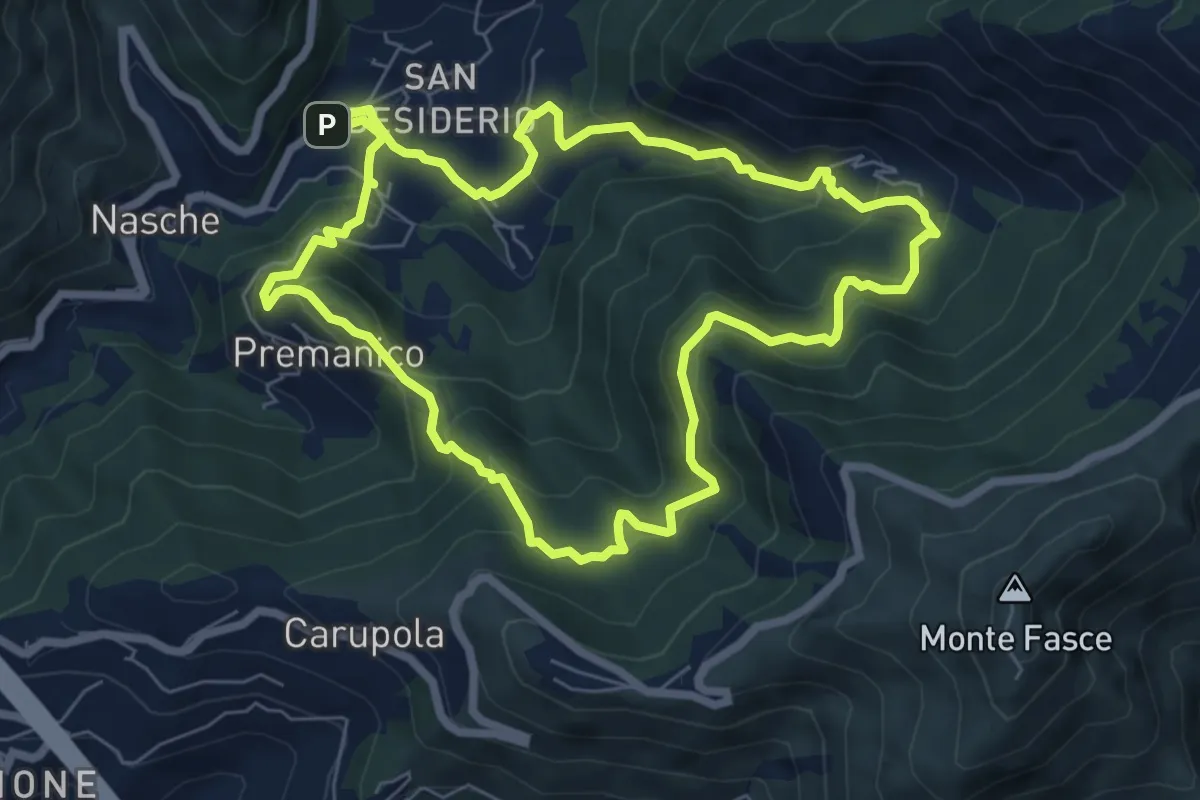
Medium · Trail
San Desiderio – San Desiderio
7.0 km · ↑ 474 m · 2 h 46 min · 13 km away
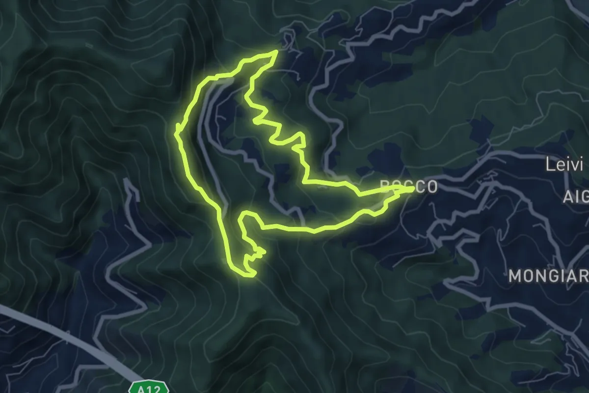
Medium · Summit
Anello di Villa Oneto e del Bocco di Leivi
6.6 km · ↑ 380 m · 2 h 29 min · 13 km away
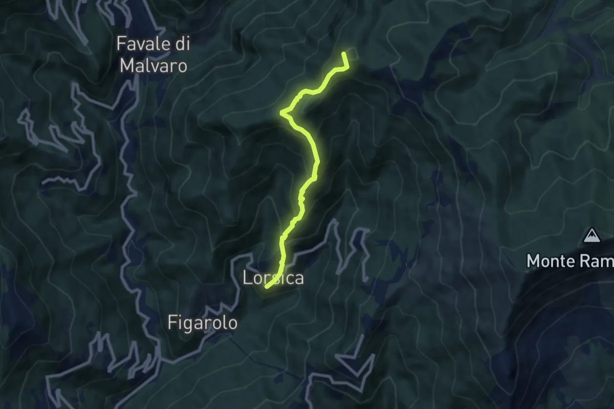
Medium · Summit
Lorsica - Passo Ventarola
6.5 km · ↑ 649 m · 2 h 57 min · 13 km away
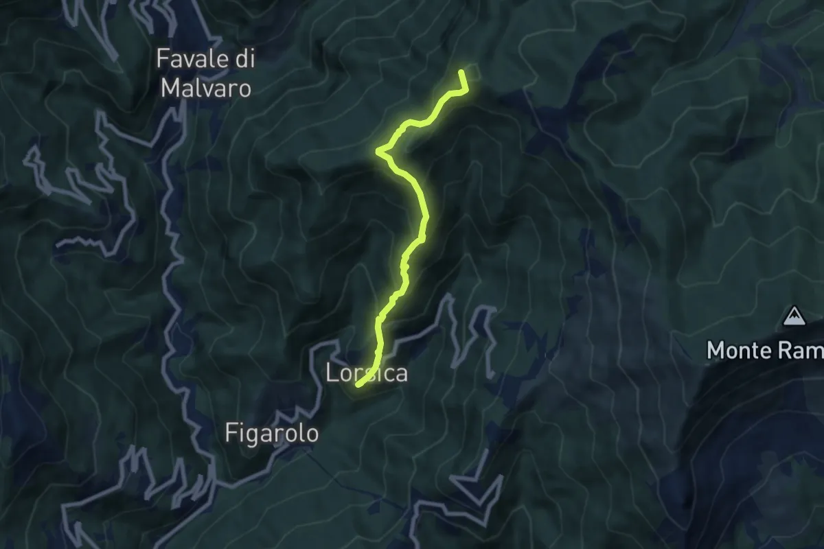
Medium · Summit
Lorsica – Passo Ventarola Nord
6.6 km · ↑ 656 m · 2 h 59 min · 13 km away
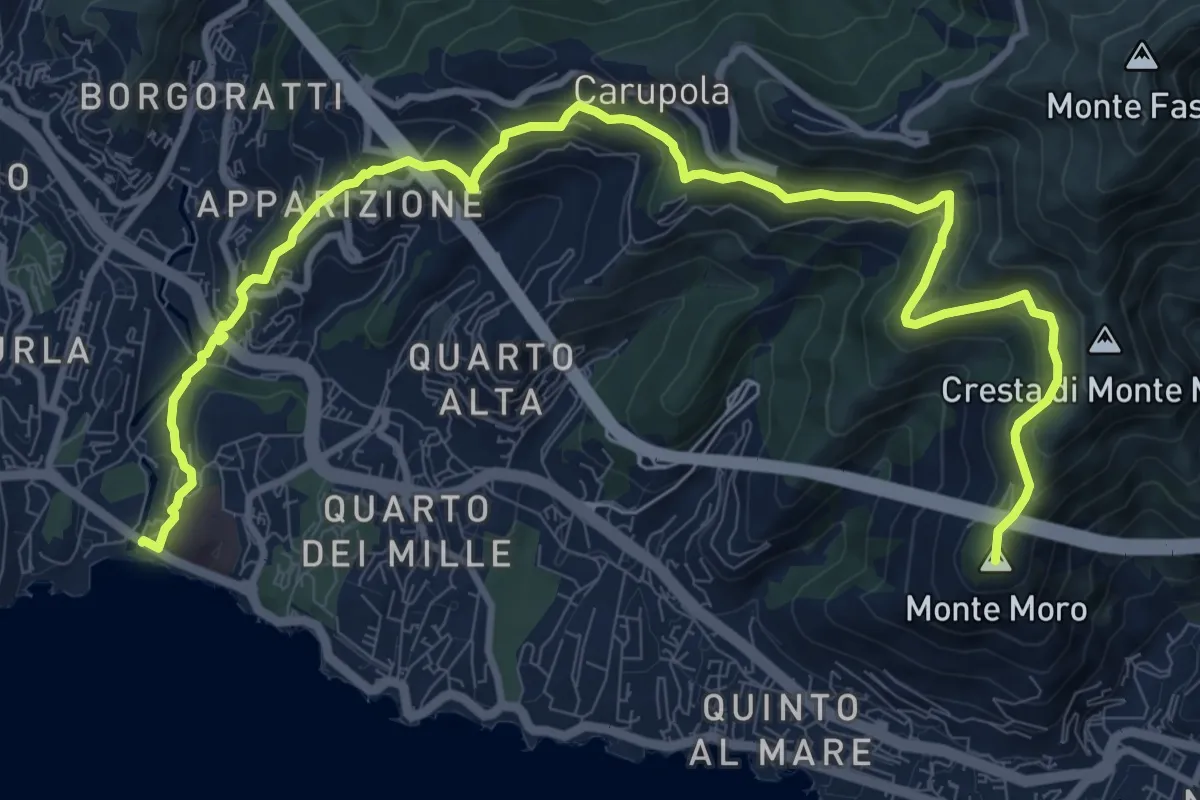
Medium · Summit
Sentiero Liguria - Tappa 12 Variante
14.0 km · ↑ 687 m · 4 h 48 min · 13 km away
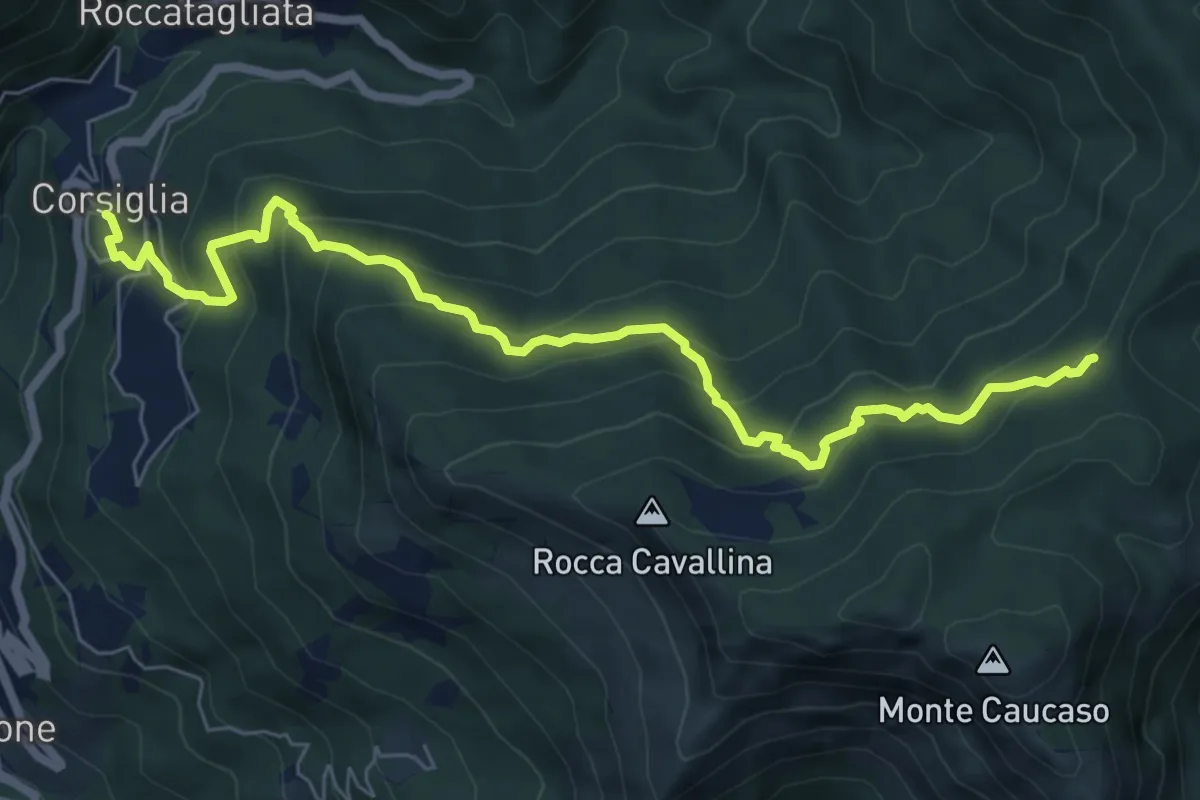
Medium · Trail
Corsiglia – Passo di Stre Biurche
8.0 km · ↑ 653 m · 3 h 19 min · 13 km away
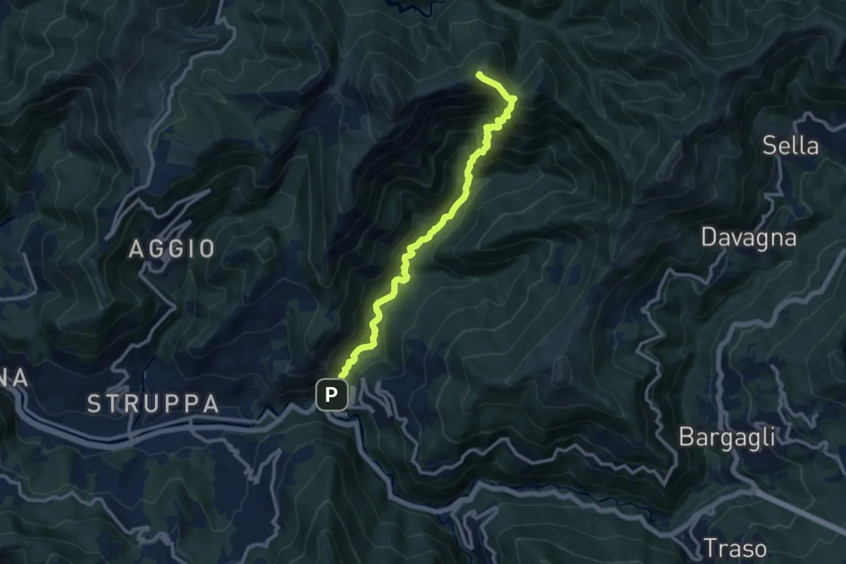
Demanding · Summit
Cavassolo - Monte Lago
10.3 km · ↑ 845 m · 4 h 15 min · 13 km away
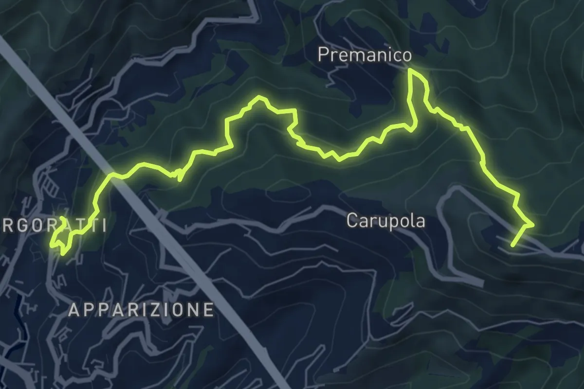
Demanding · Summit
Nervi - Monte Fasce - Premanico - Borgoratti
9.3 km · ↑ 848 m · 4 h 2 min · 13 km away
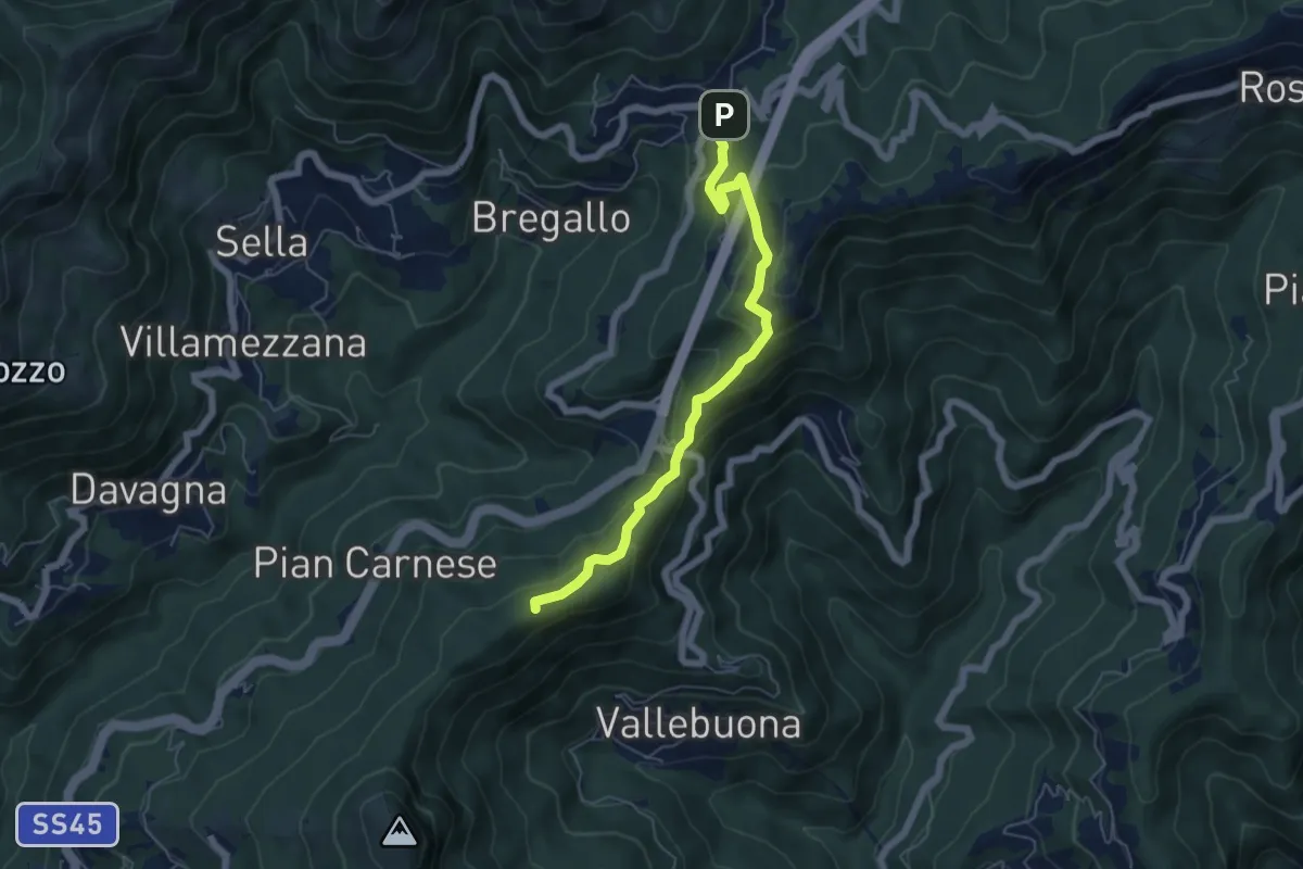
Medium · Summit
Sant'Alberto-Crocetta-Pendici Sud M. Castelluzzo (AVML)-Passo Scoffera
5.8 km · ↑ 362 m · 2 h 9 min · 13 km away
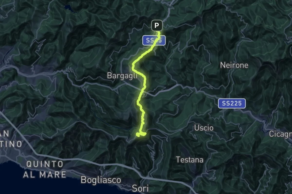
Demanding · Summit
Cammino dell'Alleanza
23.6 km · ↑ 1176 m · 8 h 7 min · 13 km away
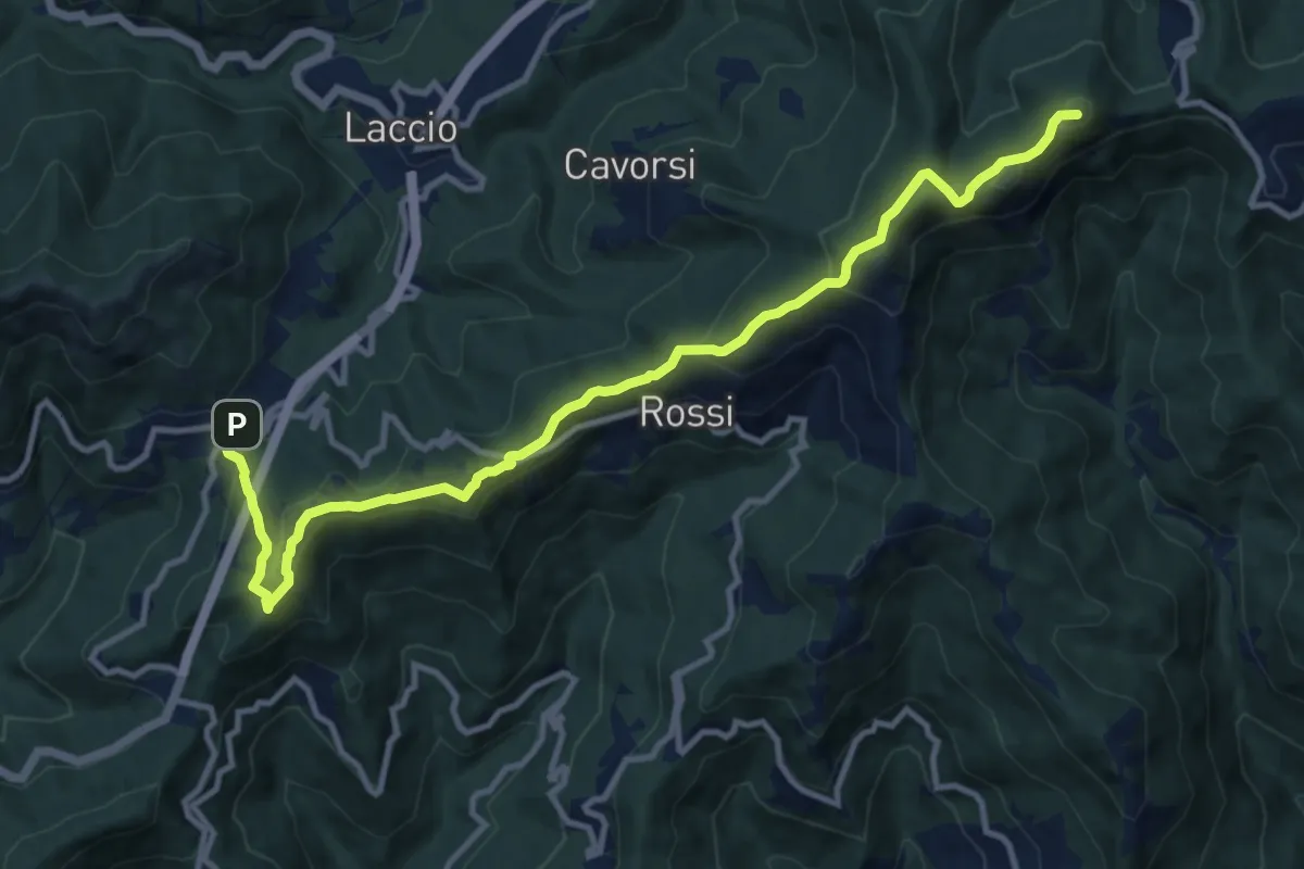
Medium · Summit
Passo della Scoffera - Sella della Giassina
12.9 km · ↑ 585 m · 4 h 18 min · 13 km away
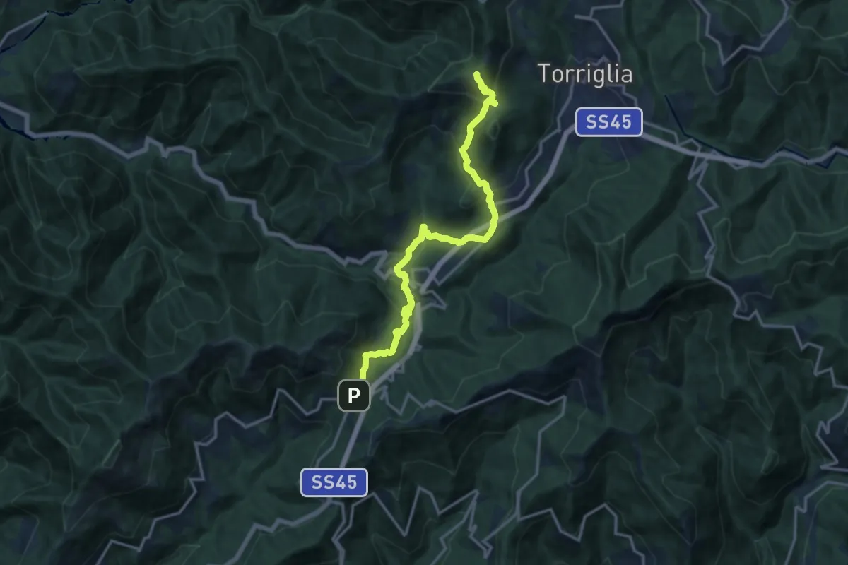
Medium · Summit
Passo della Scoffera - Marzano - Cappella della Costa
14.1 km · ↑ 730 m · 4 h 54 min · 13 km away
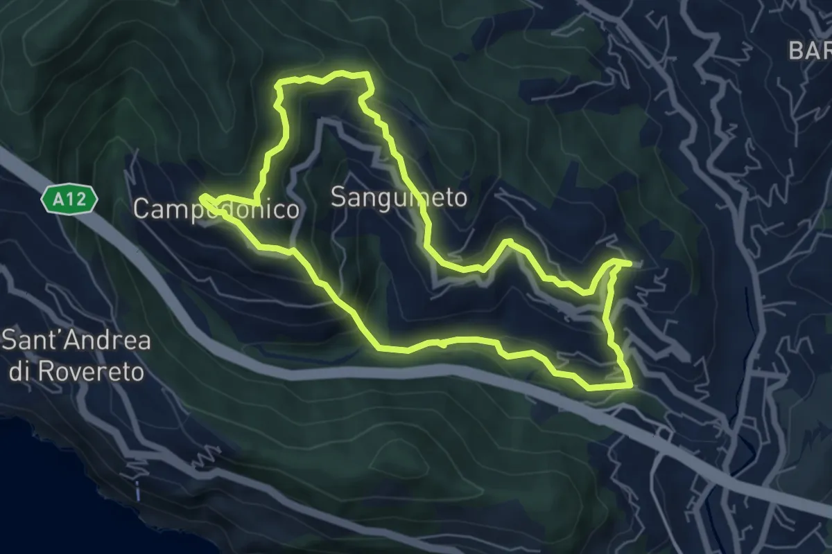
Medium · Trail
Anello delle Tre Frazioni
5.9 km · ↑ 419 m · 2 h 23 min · 13 km away
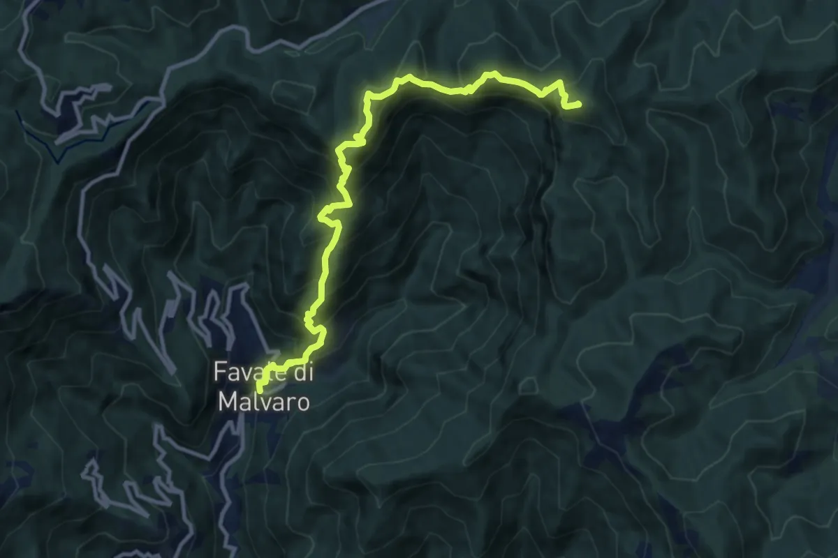
Demanding · Summit
Favale di Malvaro – Monte Pagliaro
11.2 km · ↑ 1148 m · 5 h 8 min · 14 km away
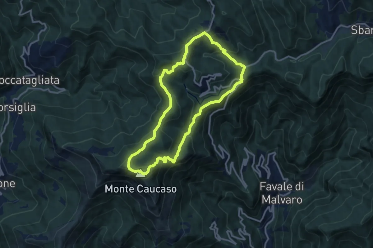
Medium · Summit
A13 - Anello della Scoglina
8.5 km · ↑ 478 m · 3 h 10 min · 14 km away
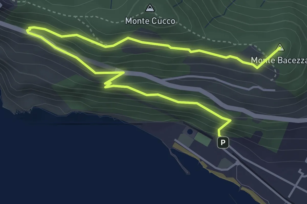
Medium · Summit
Anello panoramico "delle Grazie"
5.6 km · ↑ 400 m · 2 h 12 min · 14 km away
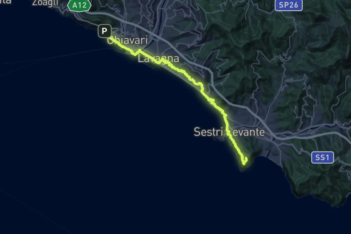
Expert · Summit
Sentiero Verdeazzurro
28.8 km · ↑ 937 m · 8 h 50 min · 14 km away
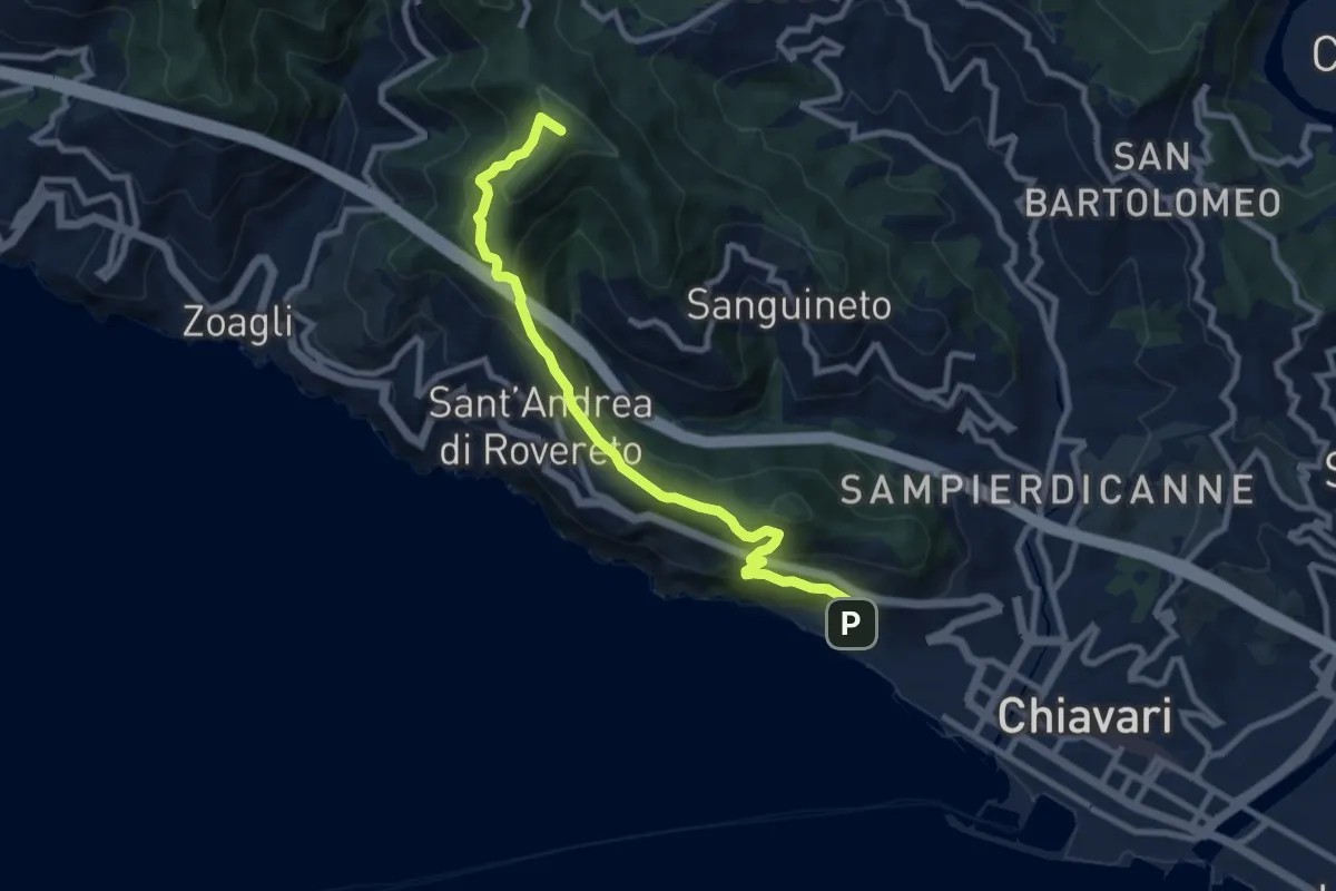
Medium · Summit
Chiavari - Passo dell'Anchetta
9.5 km · ↑ 754 m · 3 h 52 min · 14 km away
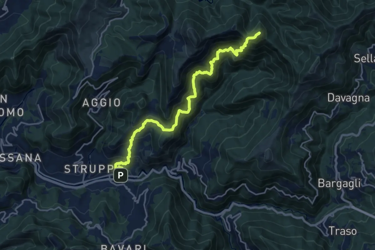
Demanding · Summit
Prato- Canate di Marsiglia - Capenardo
15.5 km · ↑ 1439 m · 6 h 47 min · 14 km away
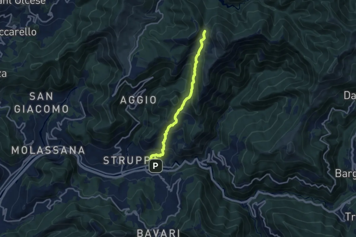
Medium · Trail
Prato - Gola di Sisa - Tre Fontane
9.6 km · ↑ 671 m · 3 h 44 min · 14 km away
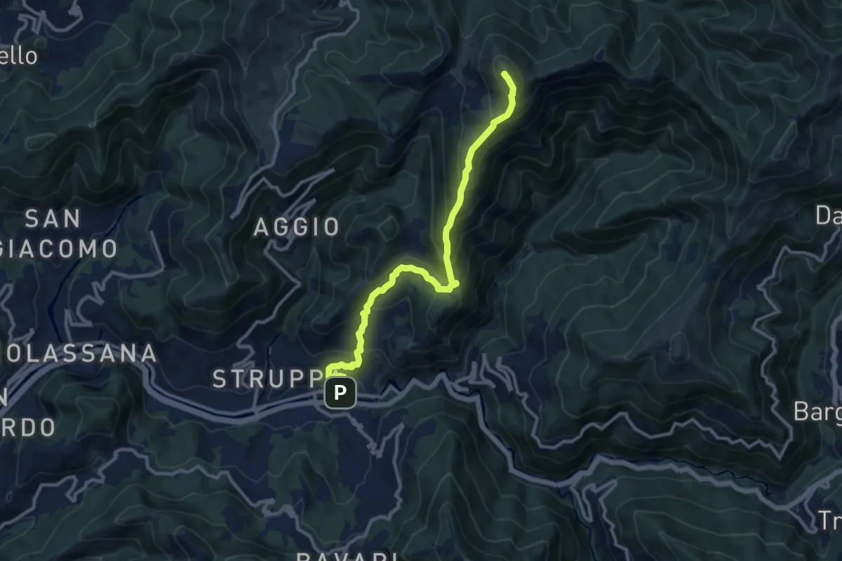
Demanding · Summit
Prato - Monte Alpesisa
11.1 km · ↑ 877 m · 4 h 31 min · 14 km away
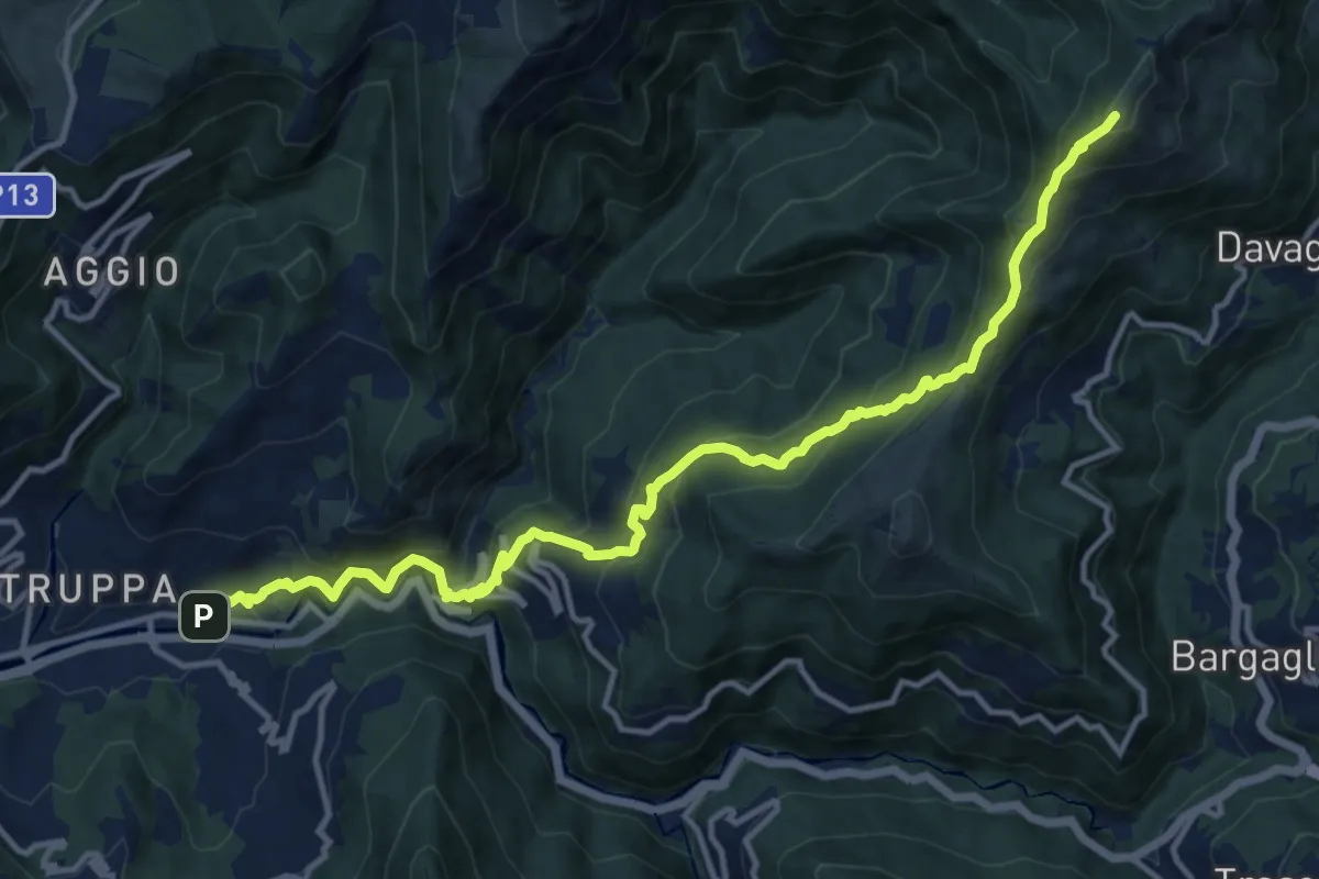
Demanding · Summit
Prato – Monte Candelozzo
14.9 km · ↑ 1209 m · 6 h 8 min · 14 km away
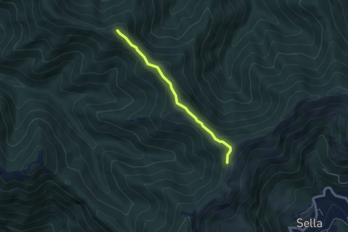
Medium · Summit
Trivio Sella Noci – Sella del Carmo
3.7 km · ↑ 336 m · 1 h 36 min · 14 km away
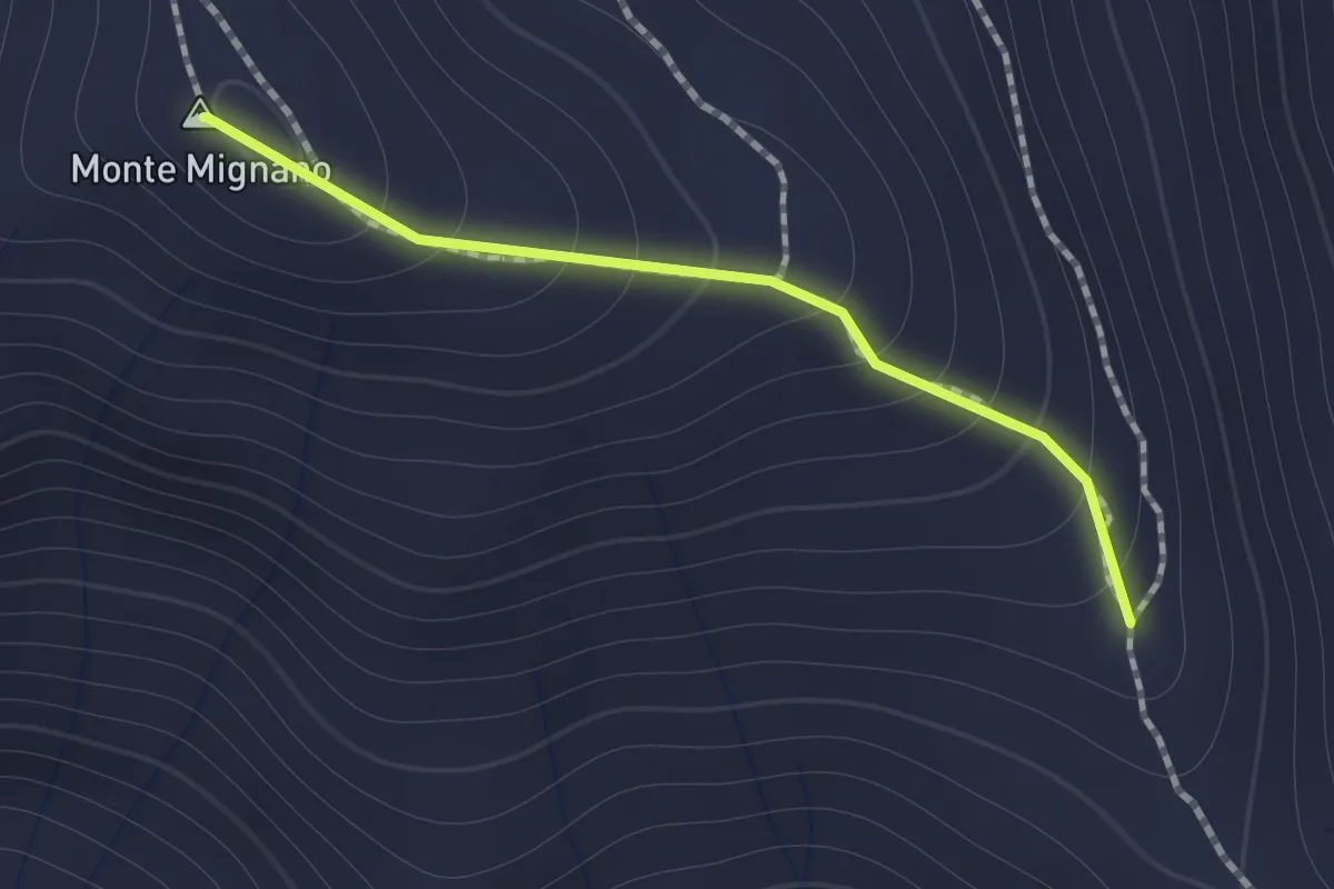
Medium · Summit
Sentiero di Monte Mignano
1.0 km · ↑ 117 m · 30 min · 14 km away
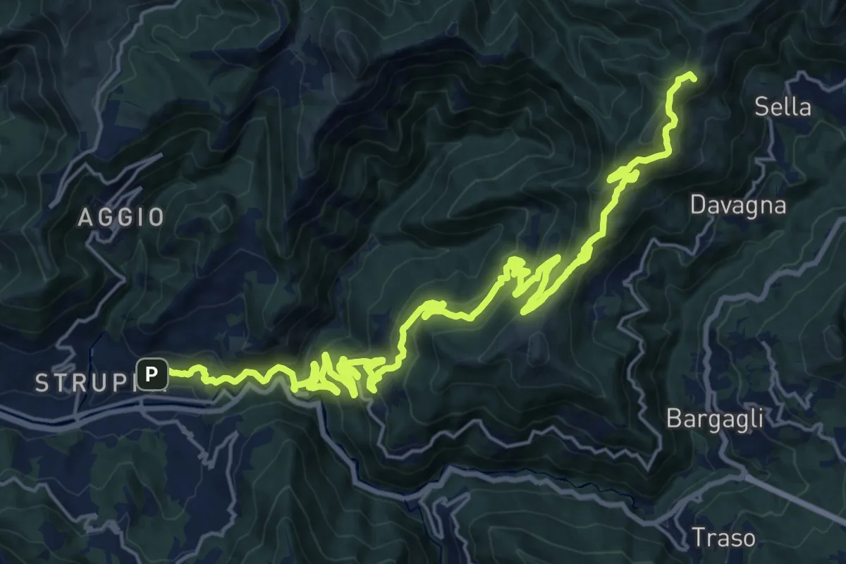
Demanding · Summit
Sentiero Giorgio Governa
30.1 km · ↑ 1643 m · 10 h 40 min · 14 km away
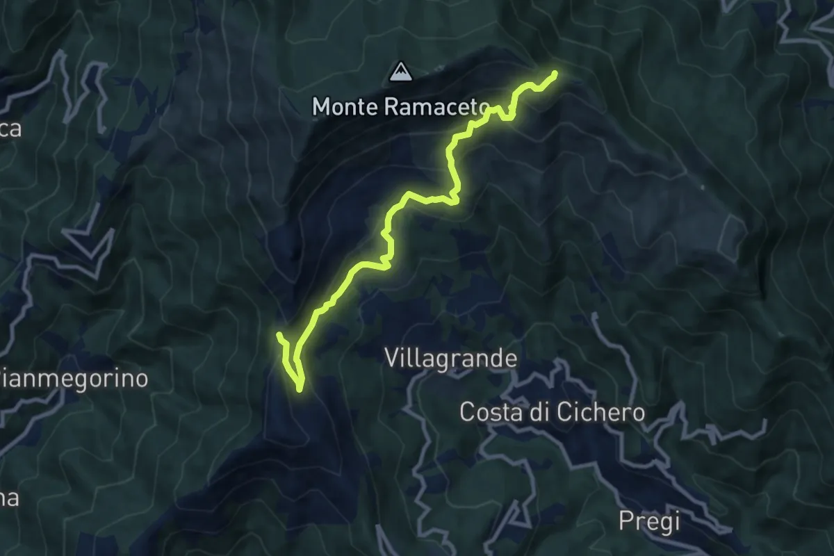
Medium · Trail
Passo del Dente – Fo du Driun
9.4 km · ↑ 624 m · 3 h 35 min · 14 km away
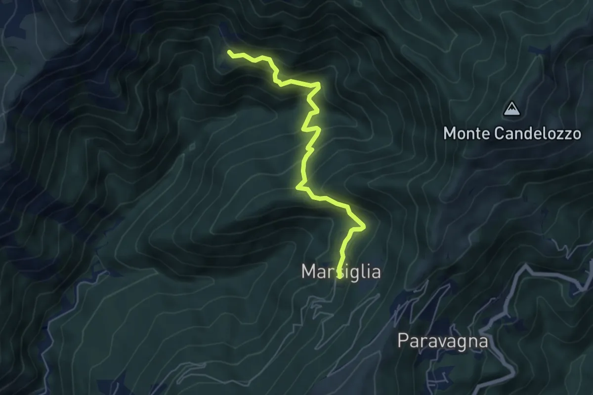
Medium · Trail
Marsiglia - Canate
5.3 km · ↑ 560 m · 2 h 29 min · 15 km away
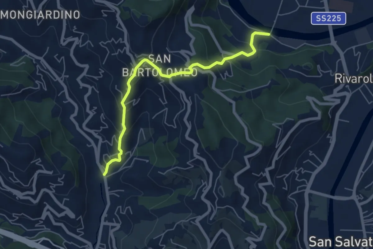
Medium · Trail
Rostio – Ponte Vecchio
5.4 km · ↑ 427 m · 2 h 12 min · 15 km away
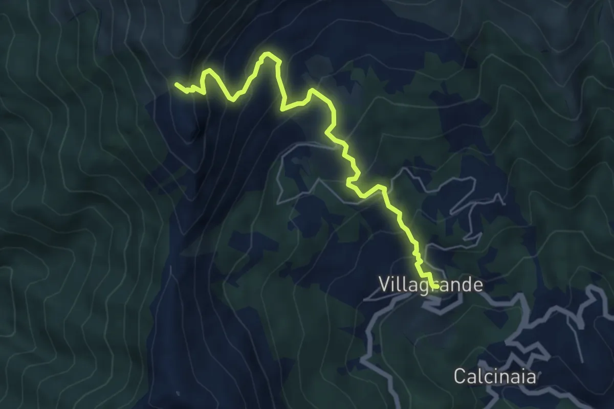
Medium · Trail
Villagrande di Cichero - Colla di Feia
5.9 km · ↑ 540 m · 2 h 33 min · 15 km away
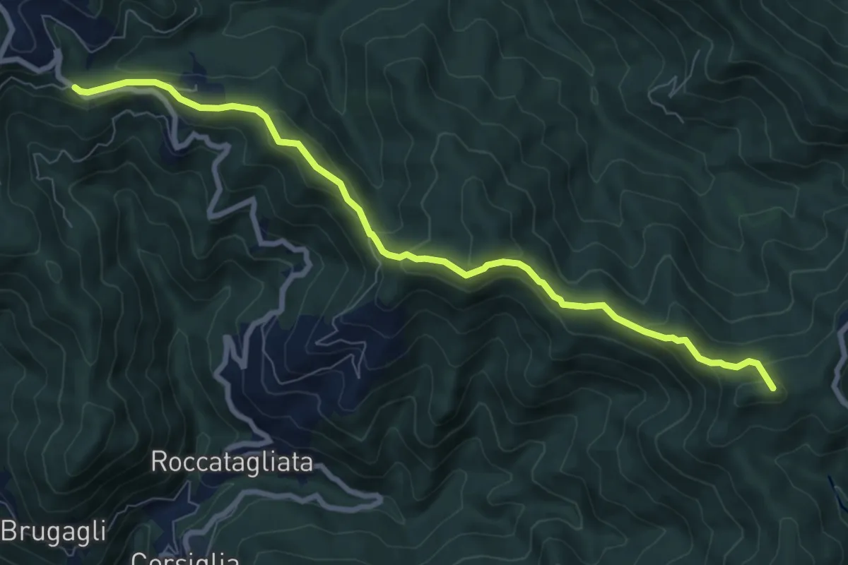
Medium · Summit
Sella della Giassina - Barbagelata
8.6 km · ↑ 392 m · 2 h 53 min · 15 km away