Trails near Reggello
95 hikes starting within 15 km, nearest first.
Nearest first, page 1 of 2
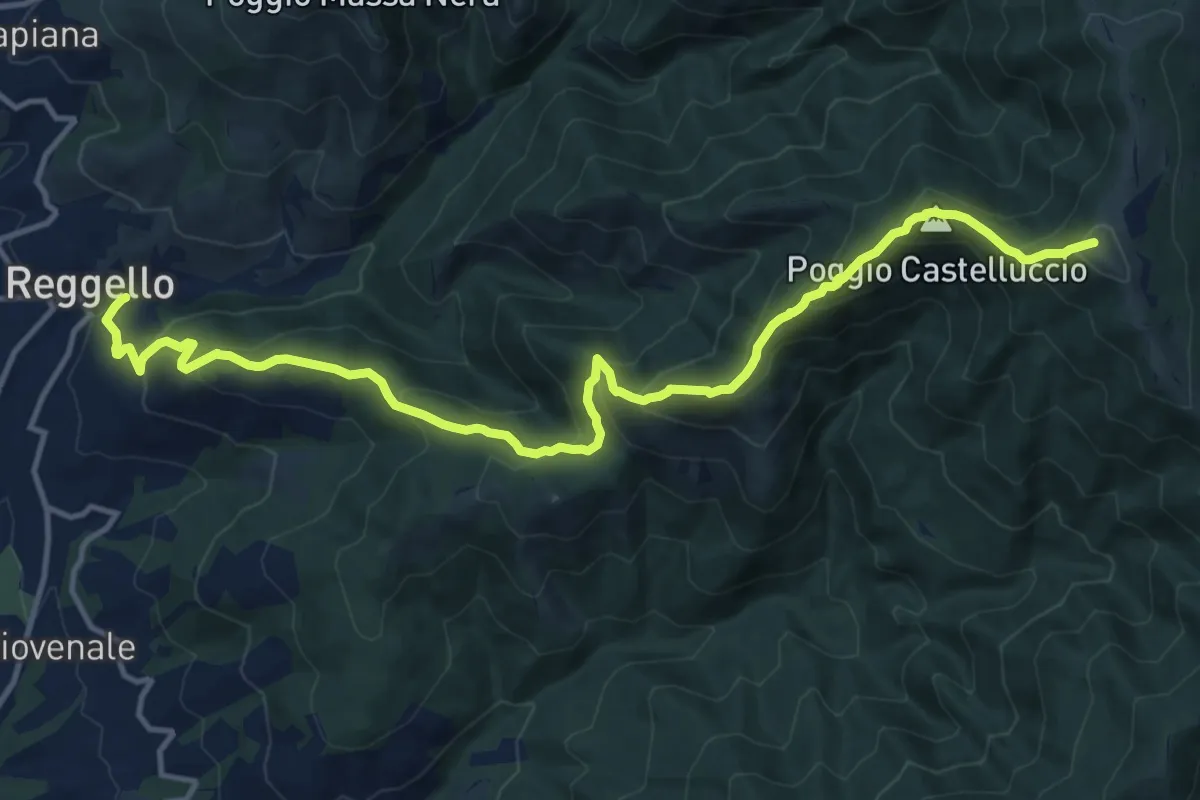
Demanding · Summit
Reggello – Uomo di Sasso
16.0 km · ↑ 1209 m · 6 h 24 min · under 1 km away
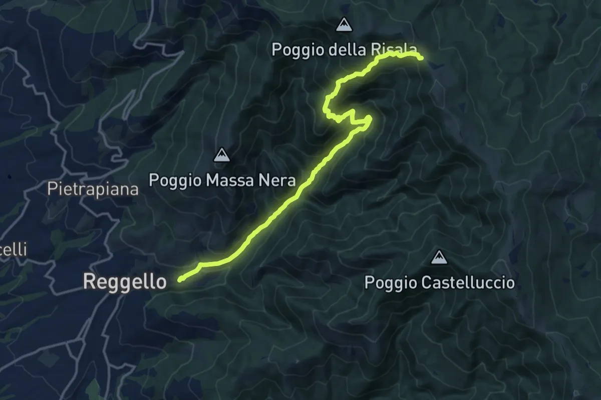
Demanding · Trail
Reggello – Croce di Cardeto
14.9 km · ↑ 1049 m · 5 h 47 min · 1 km away
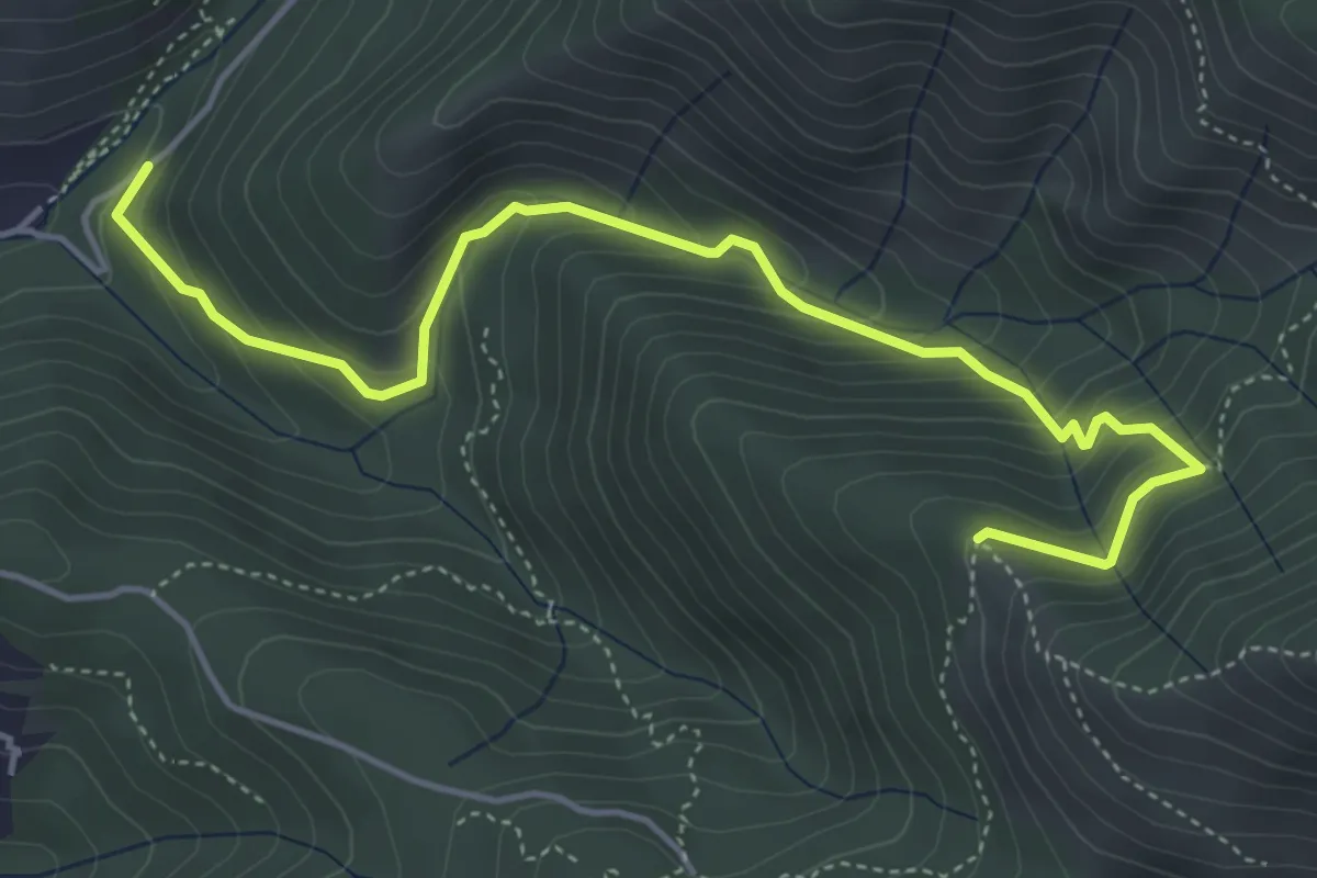
Medium · Trail
Ponte a Enna – Innesto 7
5.5 km · ↑ 466 m · 2 h 19 min · 2 km away
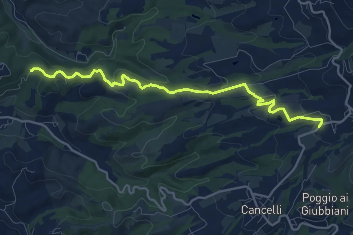
Medium · Trail
Itinerario R21 – Sant'Agata
9.6 km · ↑ 272 m · 2 h 52 min · 2 km away
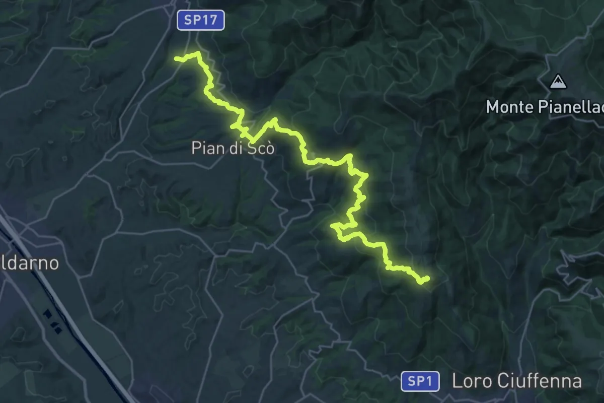
Demanding · Summit
S. Giovenale – Loro Ciuffenna
30.4 km · ↑ 1432 m · 10 h 17 min · 2 km away
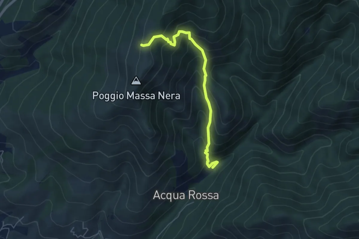
Medium · Cabin
Reggello – Massanera
5.0 km · ↑ 521 m · 2 h 18 min · 3 km away
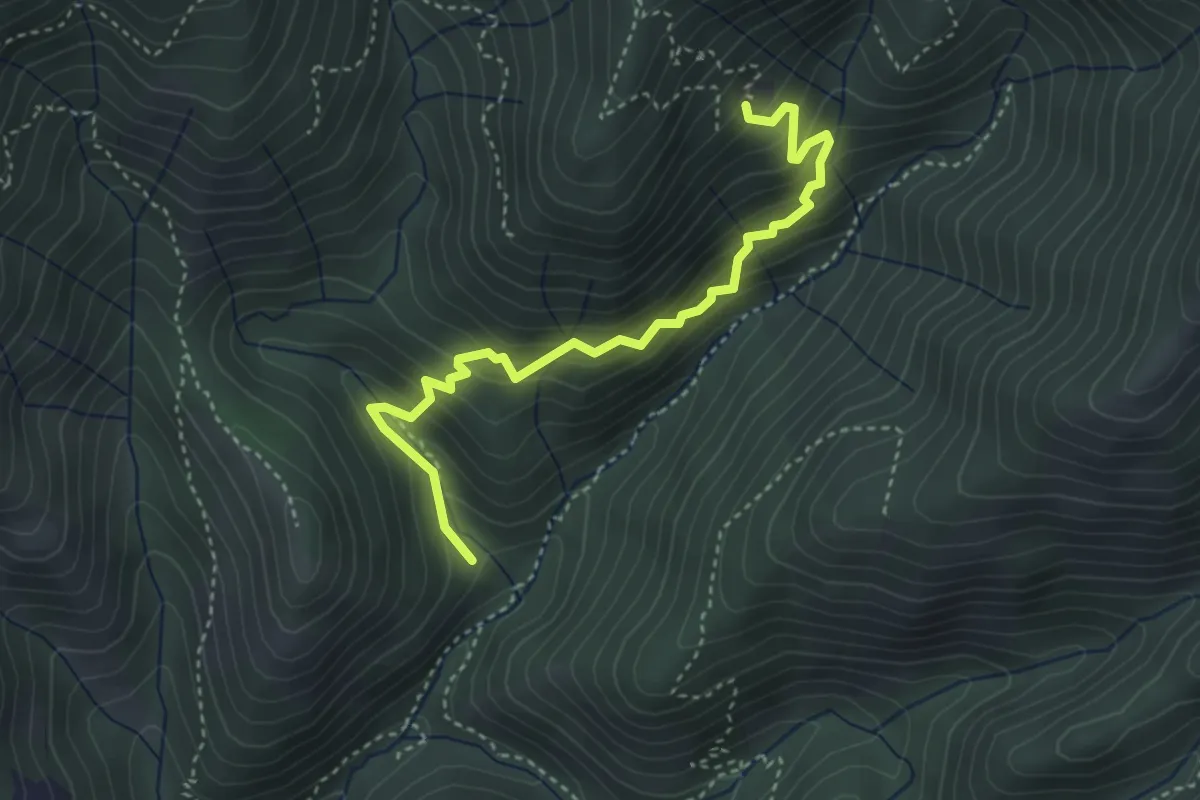
Medium · Cabin
Sentiero delle capre
4.0 km · ↑ 396 m · 1 h 48 min · 3 km away
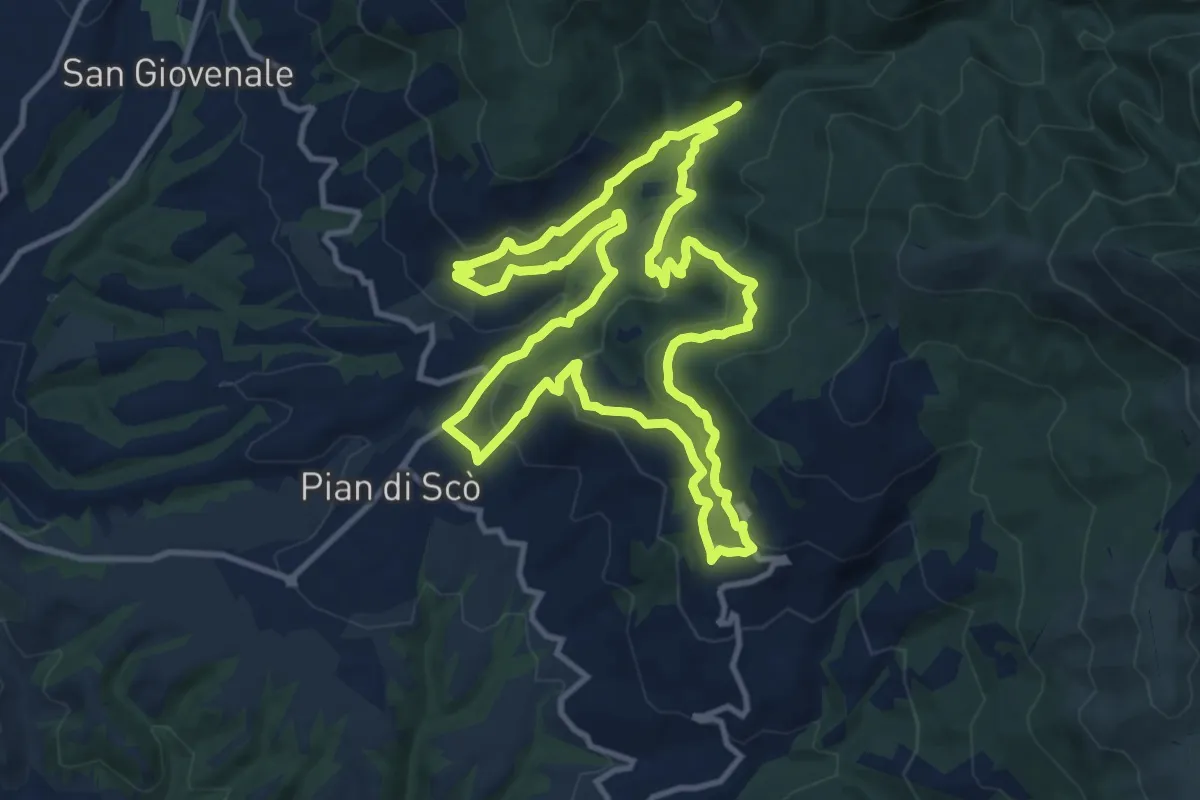
Medium · Trail
Sentiero della Memoria
12.4 km · ↑ 500 m · 4 h 12 min · 4 km away
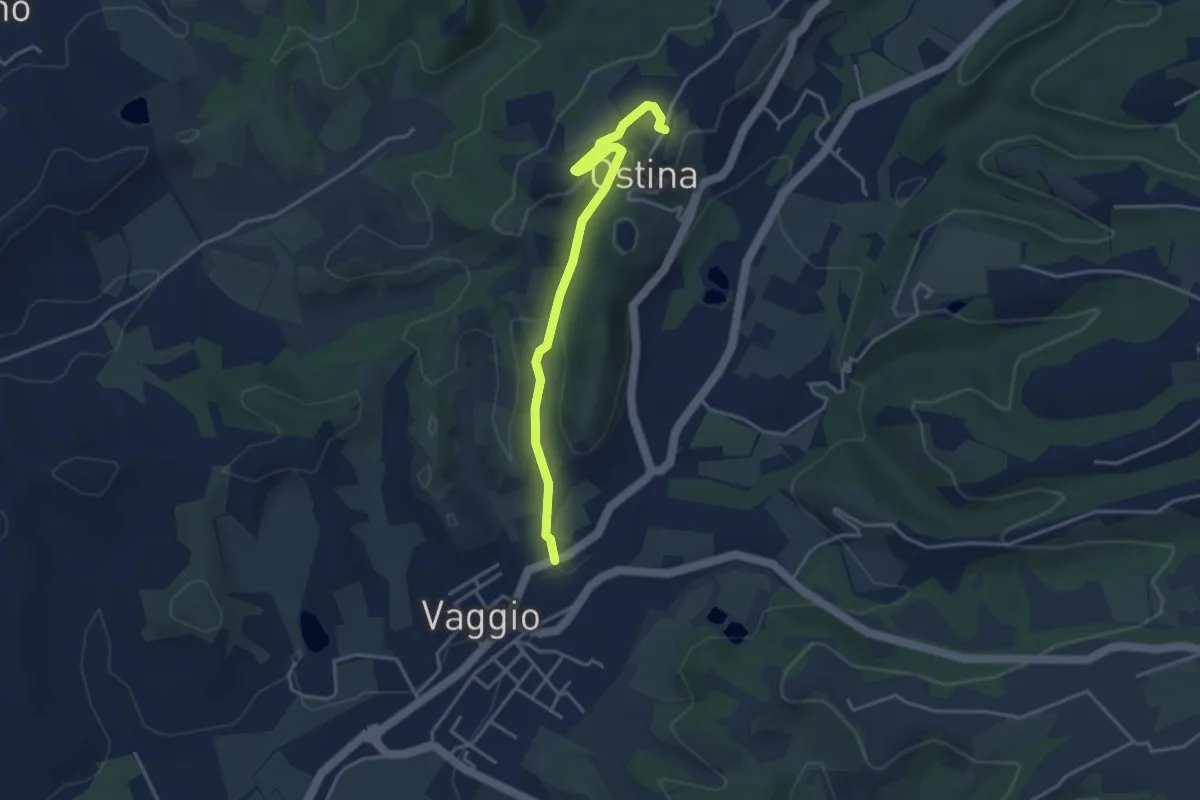
Easy · Trail
Ostina – Vaggio
3.9 km · ↑ 107 m · 1 h 10 min · 4 km away
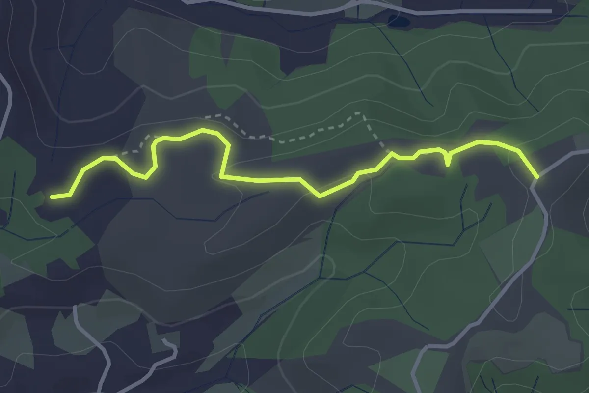
Easy · Trail
Cimitero di Rota – itinerario R24
3.3 km · ↑ 73 m · 56 min · 4 km away
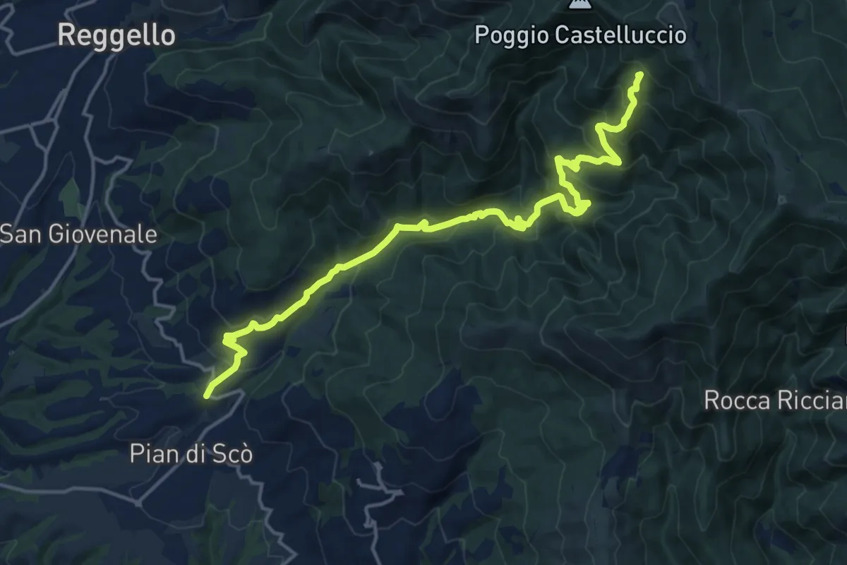
Demanding · Summit
sent.33 La Canova – varco di Gastra
18.3 km · ↑ 1066 m · 6 h 38 min · 4 km away
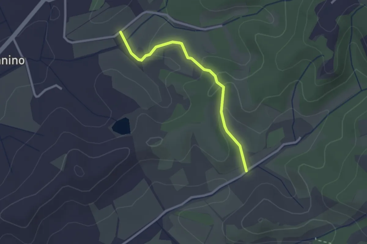
Easy · Trail
Montanino – Rio Luco
2.3 km · ↑ 69 m · 42 min · 4 km away
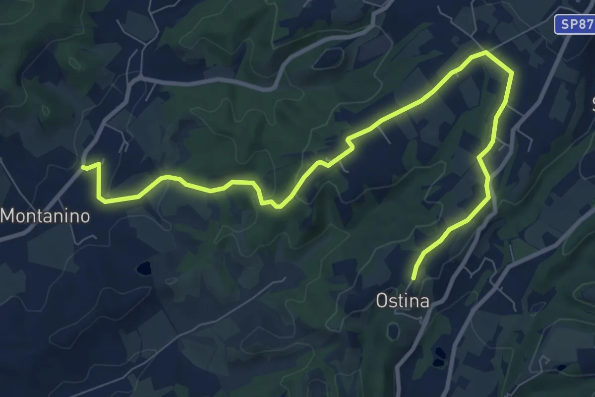
Medium · Trail
Montanino - Prulli – Ostina
10.0 km · ↑ 171 m · 2 h 44 min · 5 km away
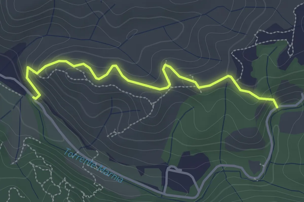
Easy · Trail
Itinerario R21 – Itinerario R22
3.2 km · ↑ 142 m · 1 h 4 min · 5 km away
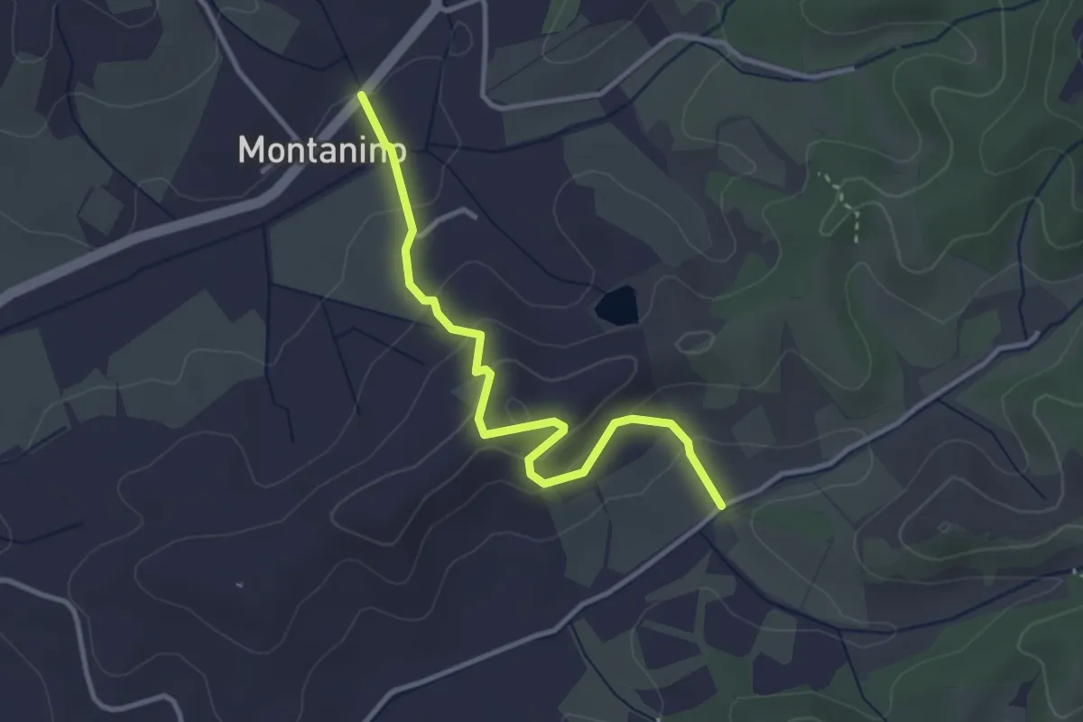
Easy · Trail
Montanino – Nocellino
3.4 km · ↑ 142 m · 1 h 7 min · 5 km away
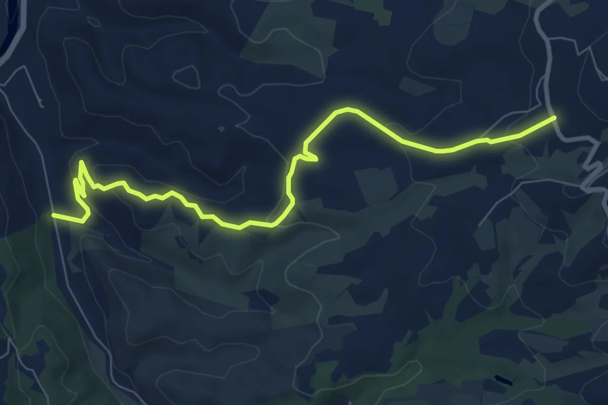
Medium · Trail
R20
8.6 km · ↑ 289 m · 2 h 40 min · 5 km away
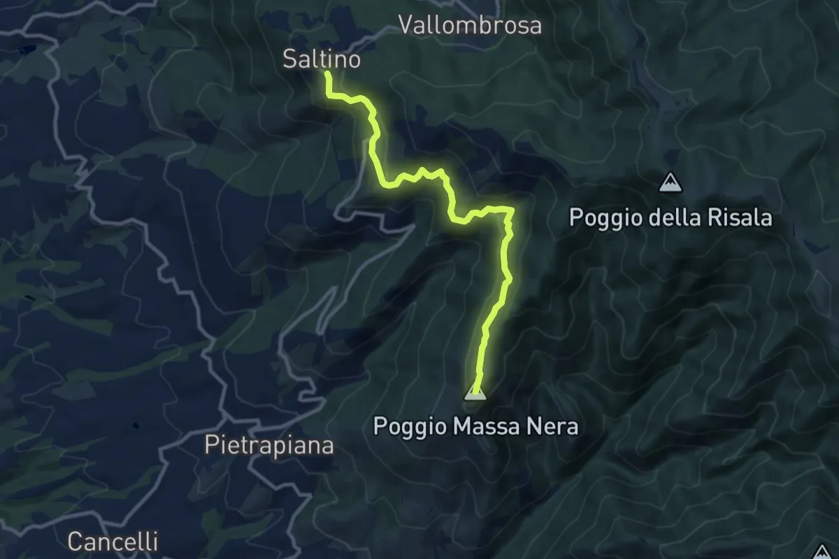
Medium · Summit
Saltino – Massanera
10.4 km · ↑ 462 m · 3 h 27 min · 5 km away
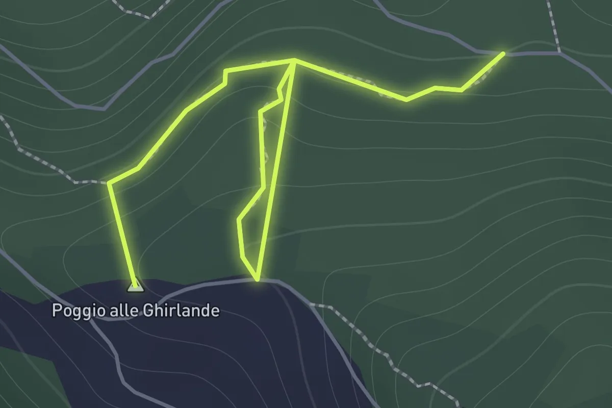
Easy · Summit
Sentieri 911, 912 – Sentiero 913
2.2 km · ↑ 152 m · 51 min · 5 km away
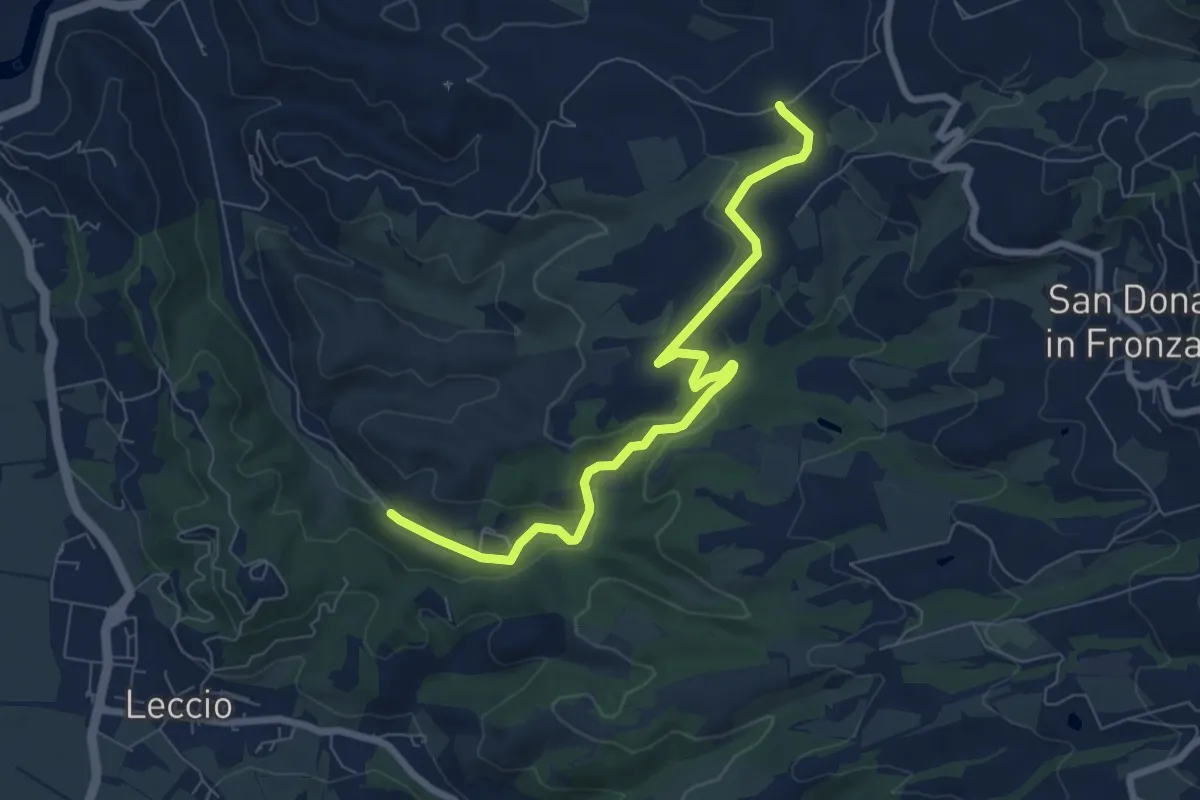
Medium · Trail
R22
8.1 km · ↑ 192 m · 2 h 20 min · 5 km away
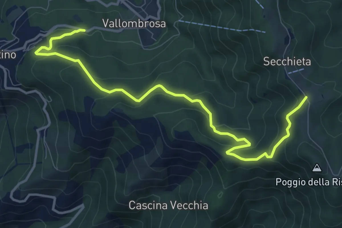
Medium · Trail
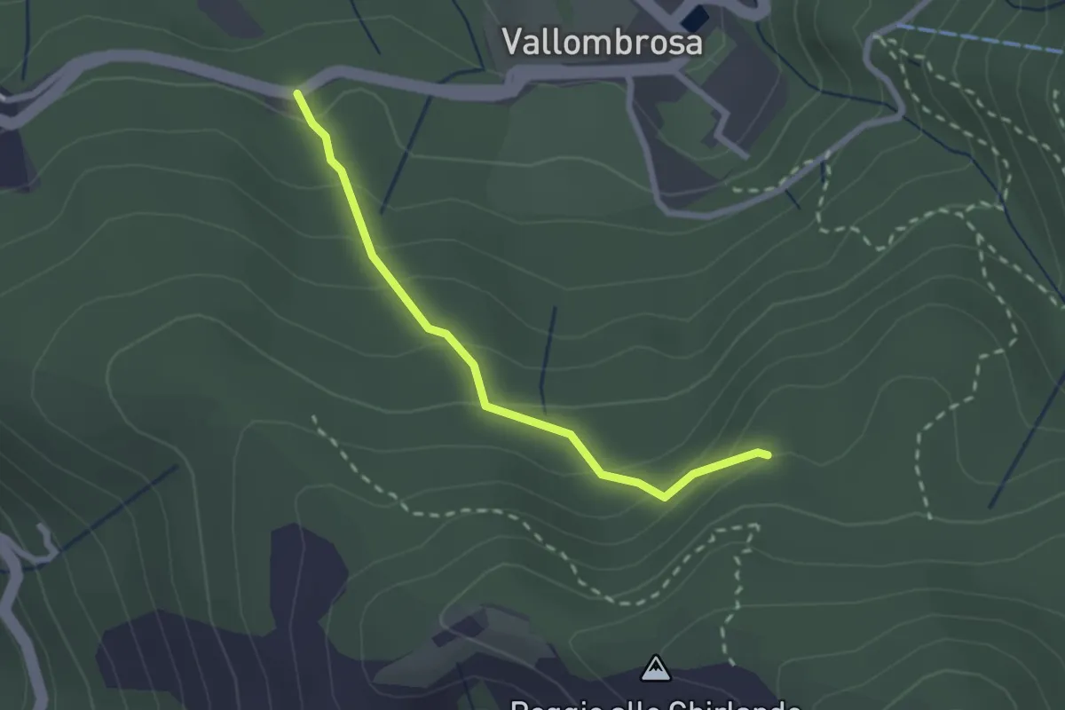
Vallombrosa – Secchieta
10.2 km · ↑ 503 m · 3 h 30 min · 6 km away
Easy · Trail
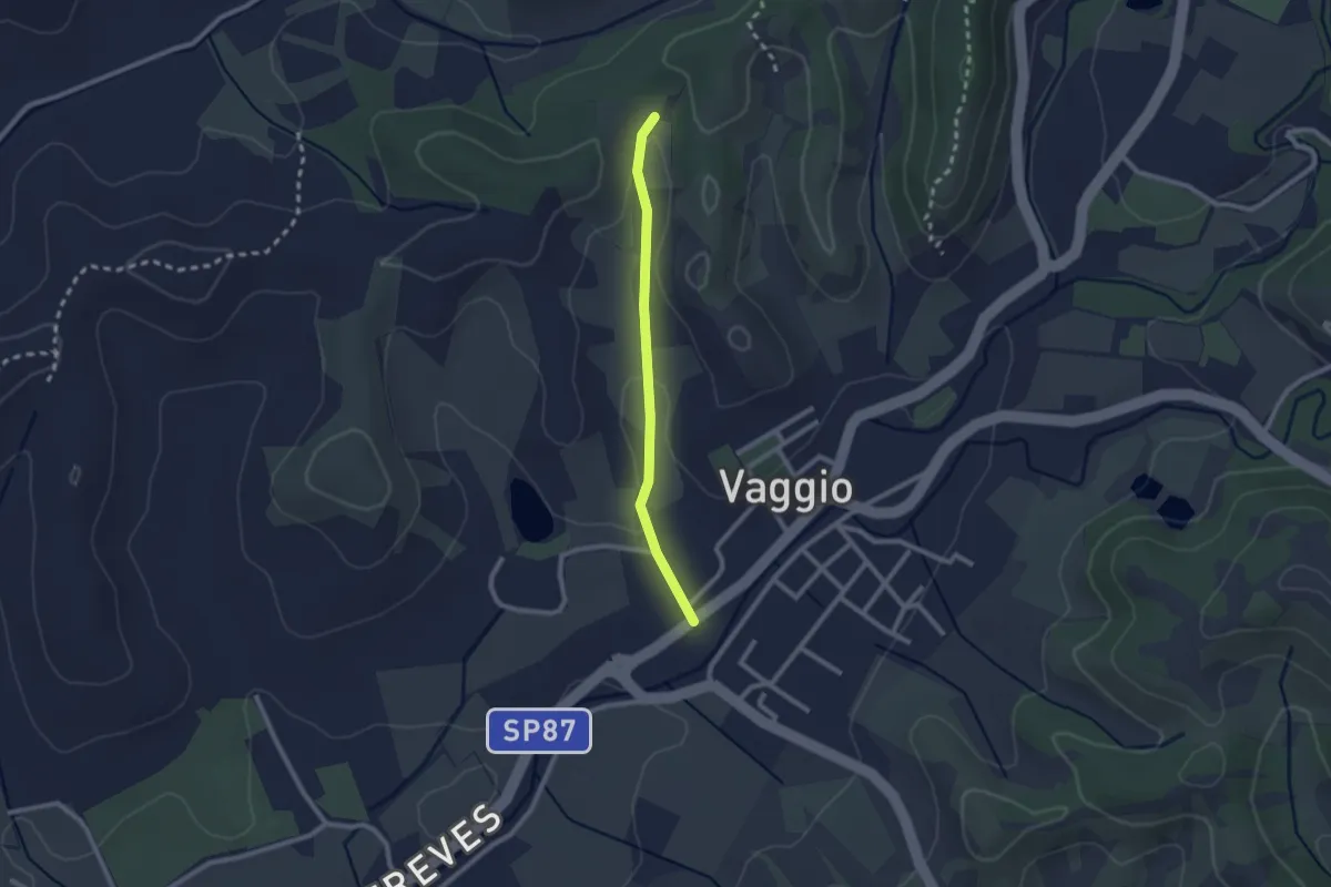
Vallombrosa – Secchieta
2.2 km · ↑ 179 m · 55 min · 6 km away
Easy · Trail
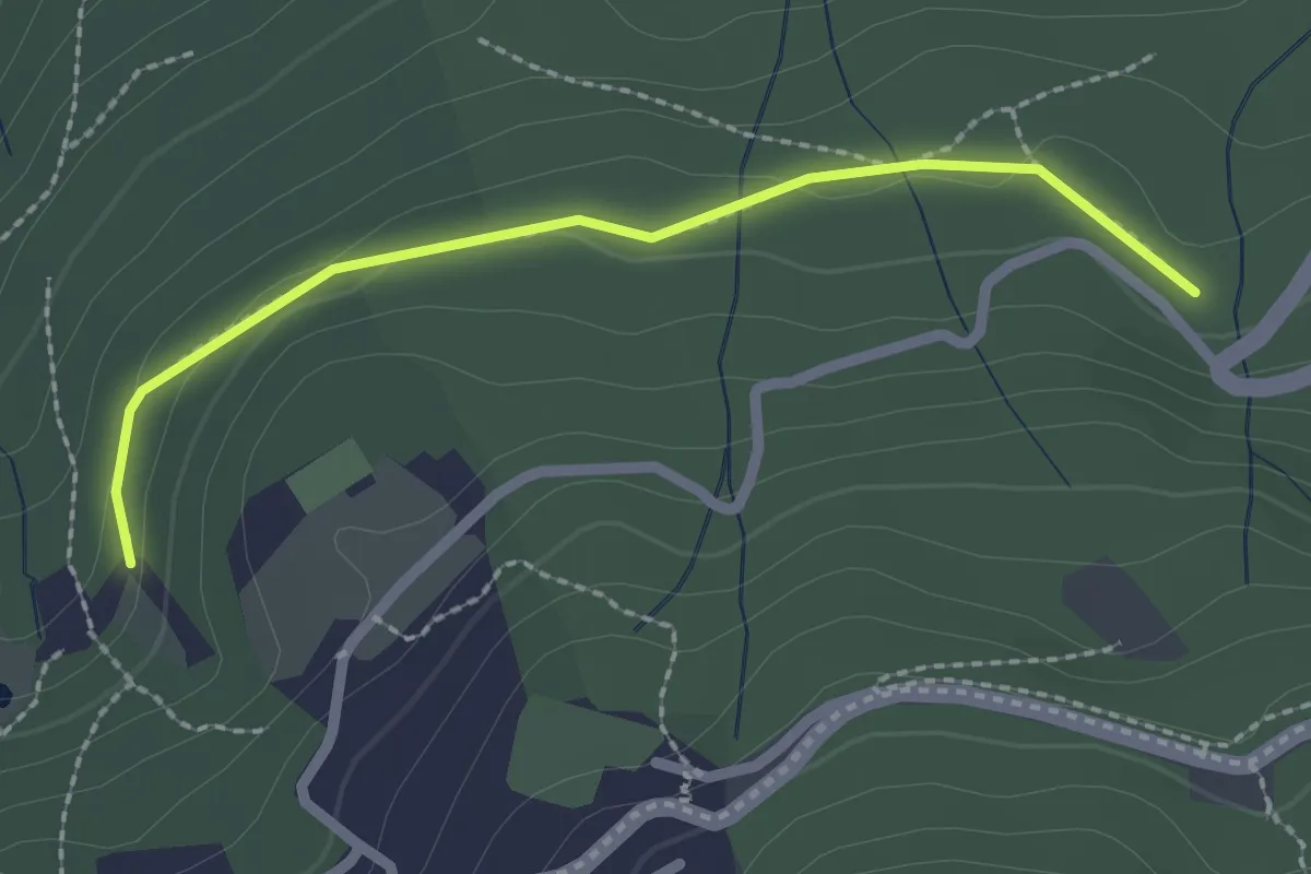
Vaggio – Itinerario R25
2.1 km · ↑ 42 m · 36 min · 6 km away
Easy · Trail
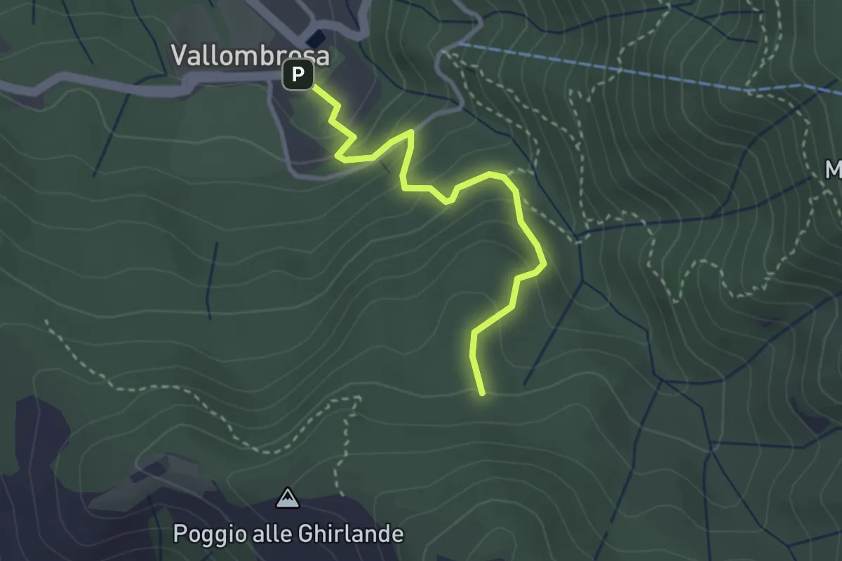
Il Vignale – S.P. 85
2.3 km · ↑ 42 m · 38 min · 6 km away
Easy · Trail
Vallombrosa – Secchieta
2.9 km · ↑ 237 m · 1 h 12 min · 6 km away
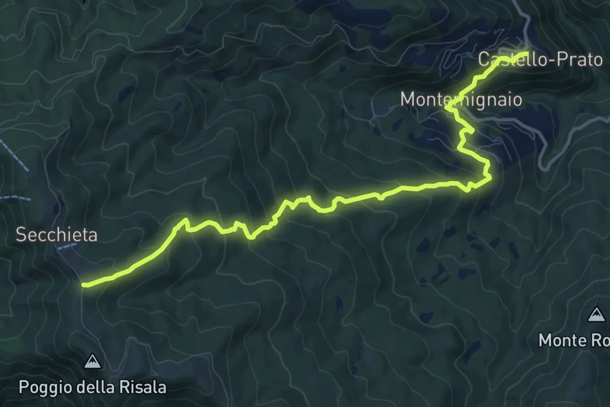
Medium · Trail
Castello di Montemignaio – Sentiero 900 presso La Secchieta
13.2 km · ↑ 782 m · 4 h 49 min · 6 km away
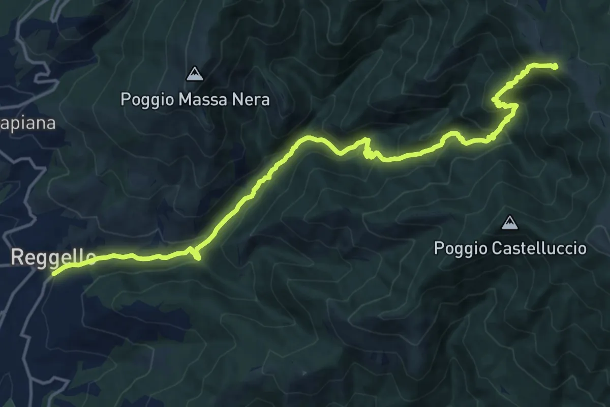
Demanding · Trail
Antica strada Reggellese
16.1 km · ↑ 1040 m · 6 h 4 min · 6 km away
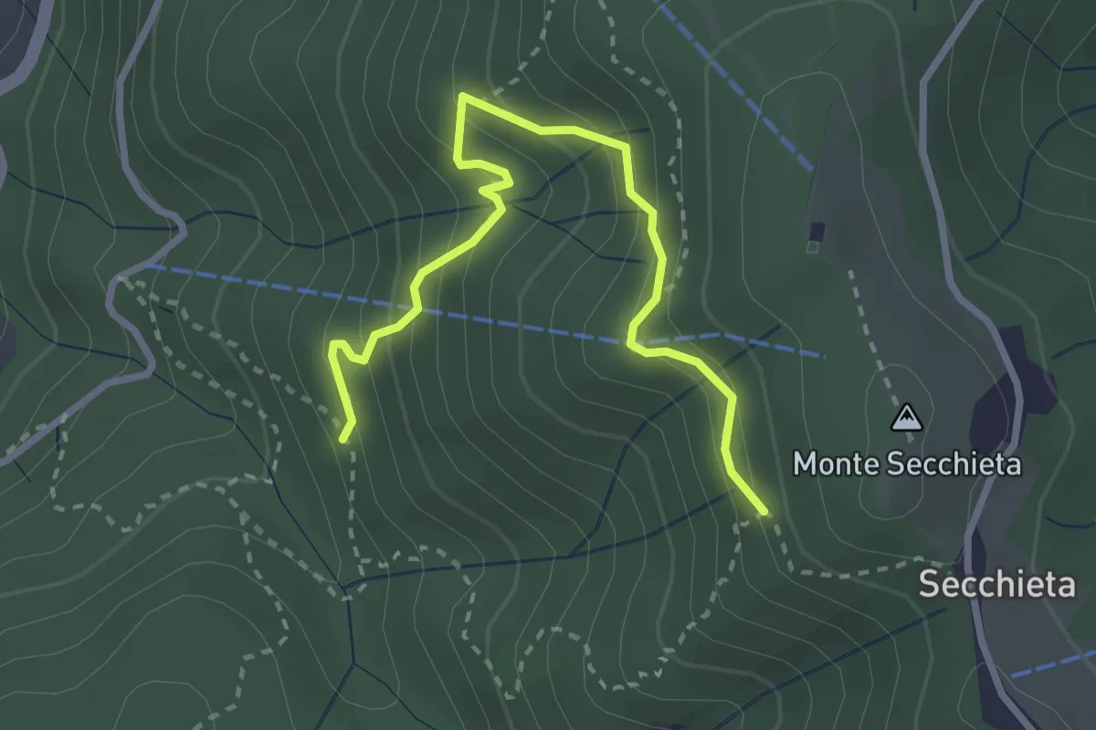
Medium · Trail
Vallombrosa – Secchieta
3.2 km · ↑ 304 m · 1 h 25 min · 6 km away
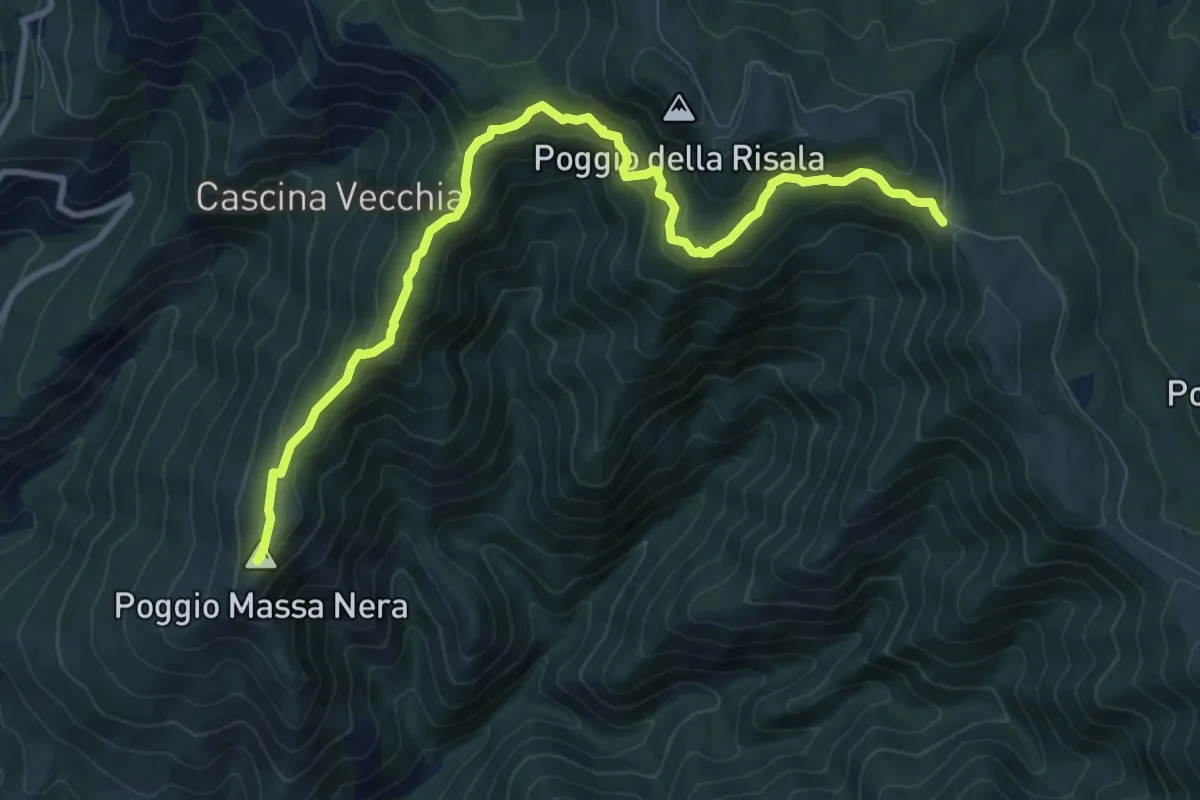
Medium · Summit
Reggello – Croce di Cardeto
10.7 km · ↑ 677 m · 4 h · 6 km away
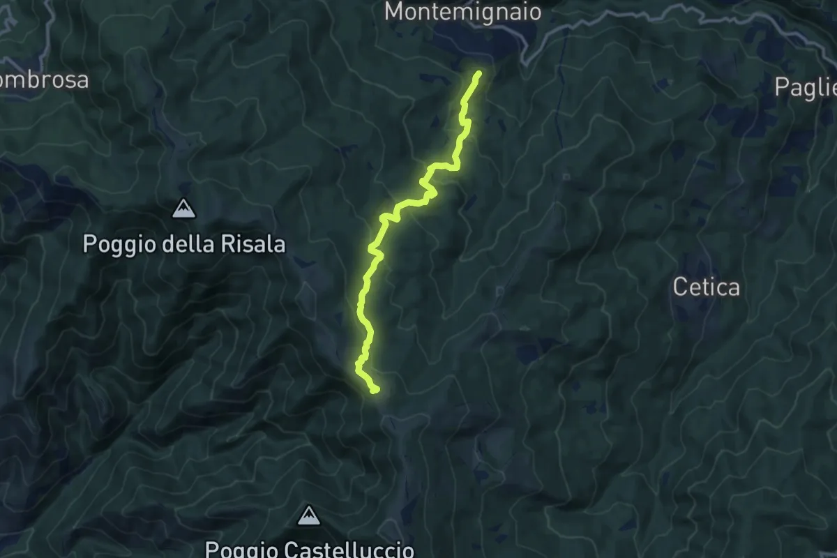
Medium · Trail
Innesto sentiero 927 presso Montemignaio – Sentiero 900 presso Varco di Reggello
11.0 km · ↑ 529 m · 3 h 44 min · 6 km away
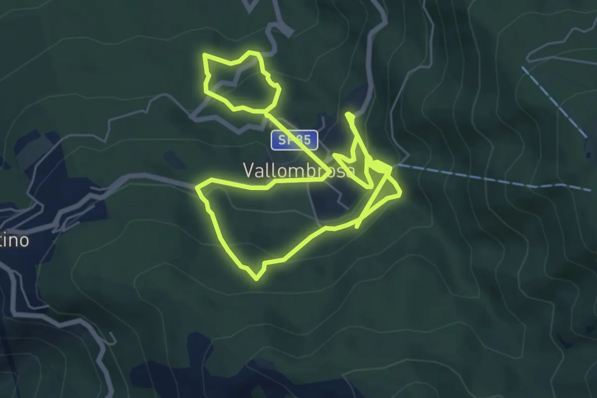
Medium · Trail
Circuito delle Cappelle di Vallombrosa
10.9 km · ↑ 645 m · 3 h 58 min · 6 km away
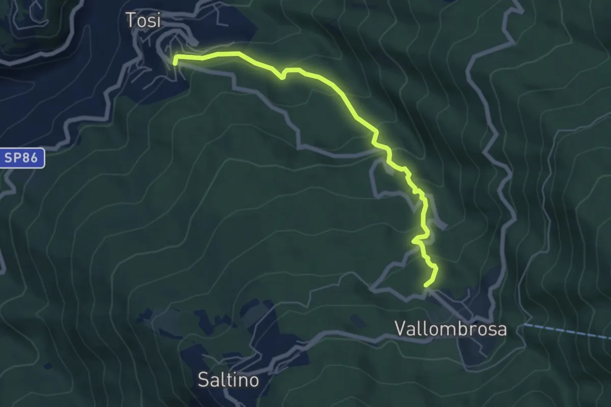
Medium · Trail
Tosi - Pian di Melosa – Vallombrosa
6.0 km · ↑ 368 m · 2 h 12 min · 6 km away
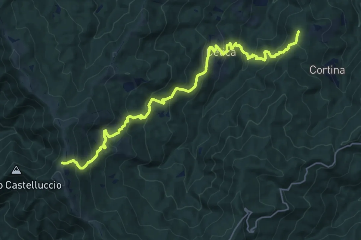
Demanding · Summit
Poppi – Sentiero 900 presso Varco di Gastra
19.6 km · ↑ 1145 m · 7 h 6 min · 6 km away
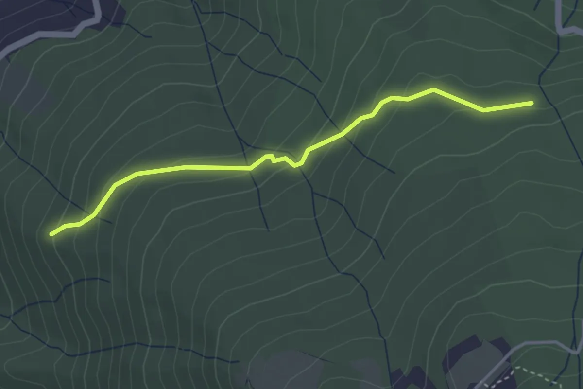
Easy · Trail
Raccordo Sentiero 9 – Incrocio Sentiero 913
3.5 km · ↑ 185 m · 1 h 14 min · 6 km away
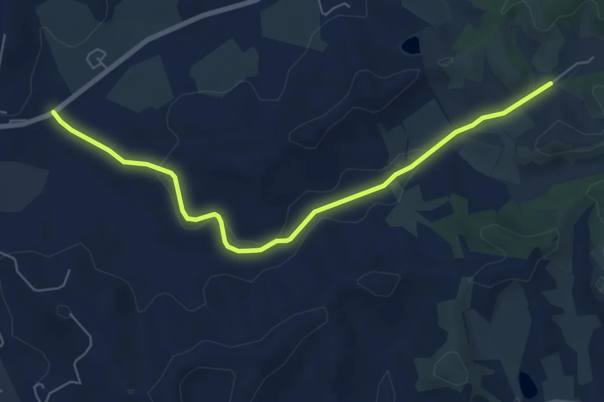
Easy · Trail
Montanino – Rio Luco
6.0 km · ↑ 55 m · 1 h 31 min · 6 km away
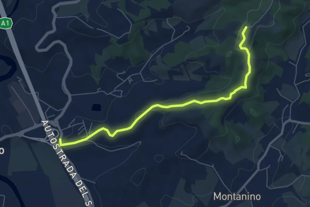
Easy · Trail
Poggio Alberti / Cetina – Itinerario R24 / Tegna
6.4 km · ↑ 118 m · 1 h 46 min · 6 km away
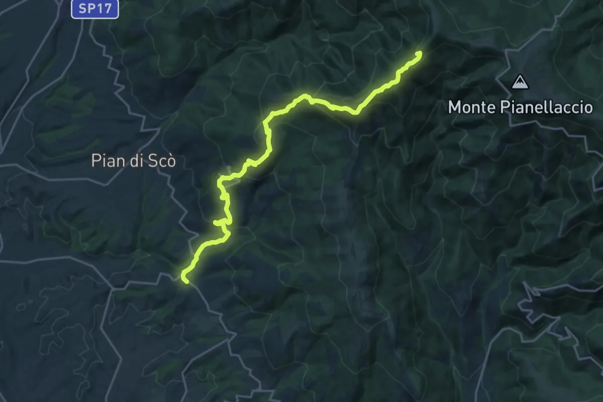
Demanding · Summit
Castelfranco di Sopra – varco alla Vetrice
20.1 km · ↑ 1193 m · 7 h 19 min · 7 km away
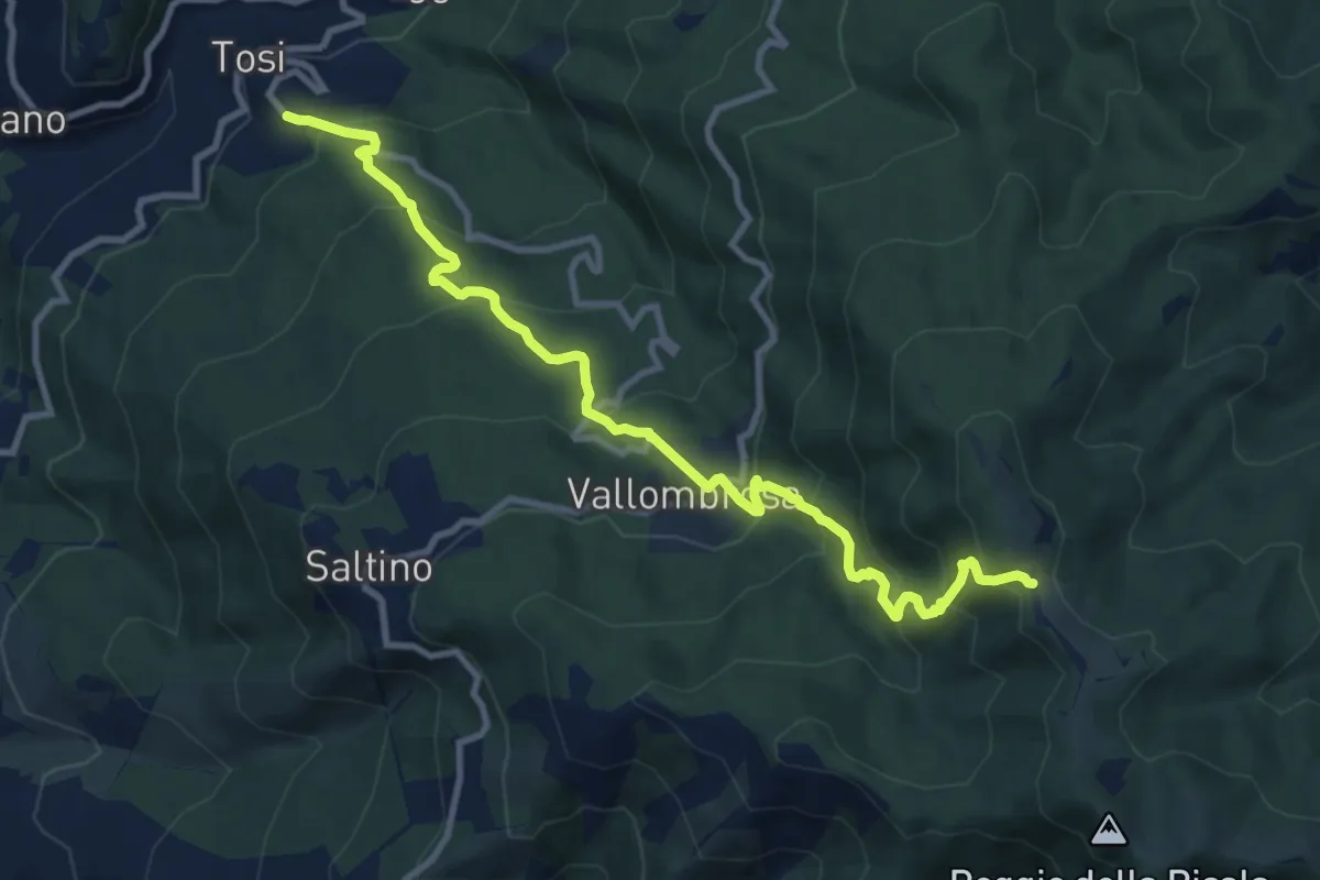
Demanding · Trail
Tosi – Secchieta
11.4 km · ↑ 886 m · 4 h 37 min · 7 km away
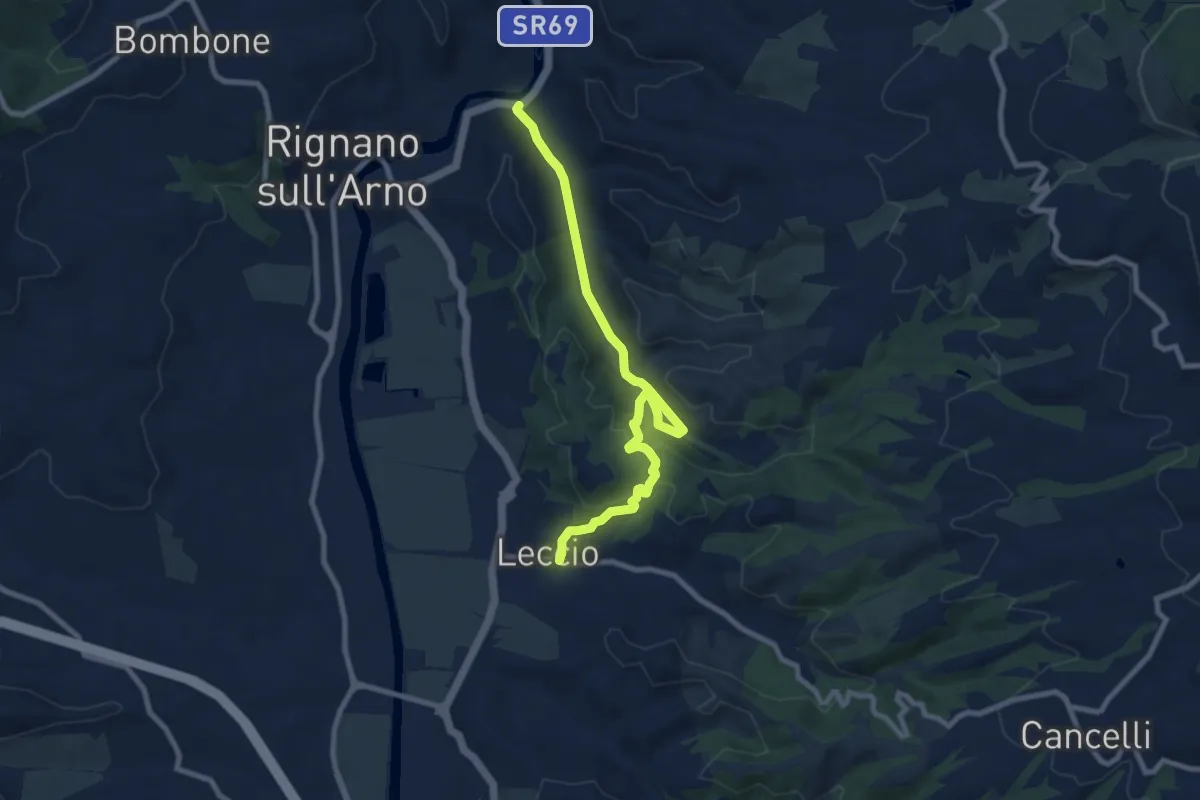
Medium · Trail
S.R. 69 / Marnia – Leccio
9.4 km · ↑ 251 m · 2 h 46 min · 7 km away
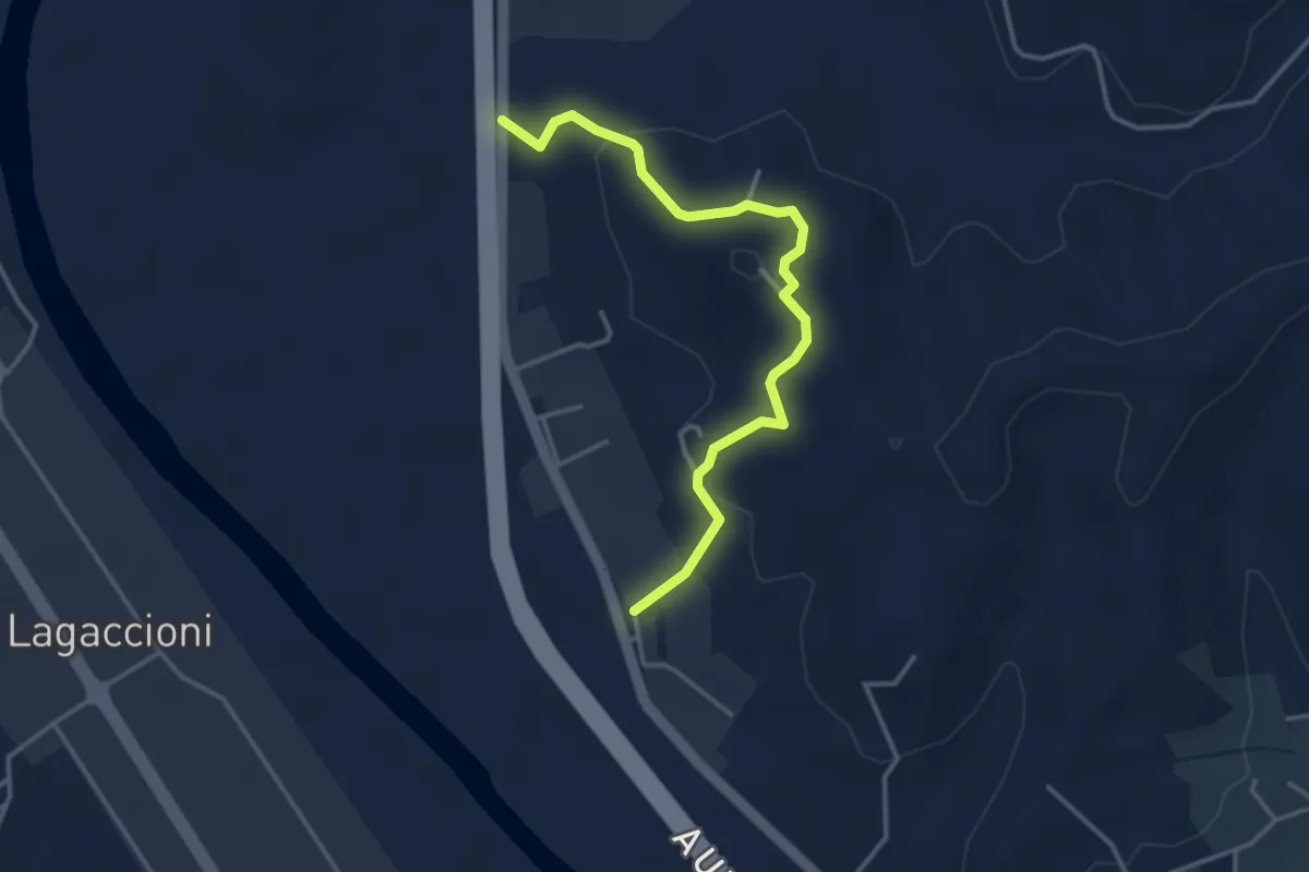
Easy · Trail
Prulli – itinerario R25
3.9 km · ↑ 131 m · 1 h 12 min · 7 km away
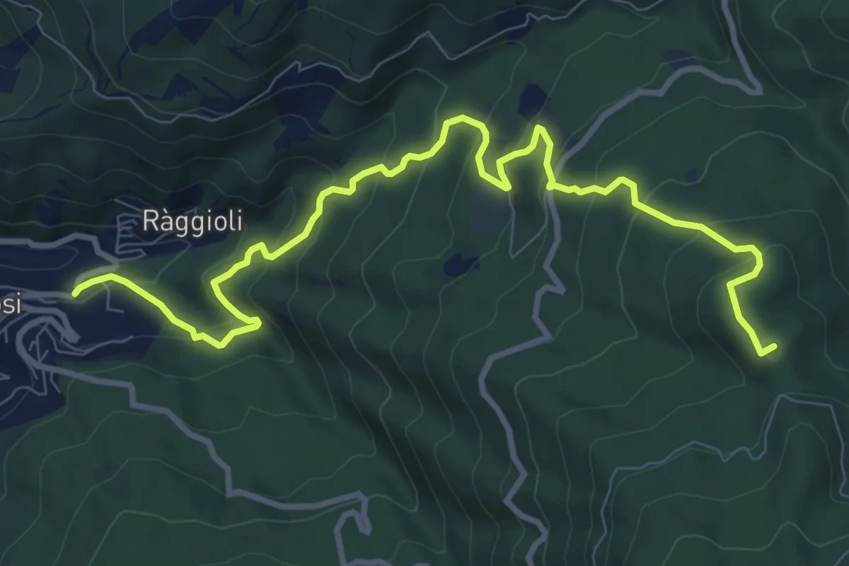
Medium · Summit
Tosi – Secchieta
11.1 km · ↑ 749 m · 4 h 15 min · 8 km away
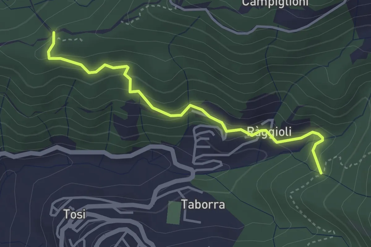
Easy · Trail
Raggioli – Incrocio Sentiero 206
3.6 km · ↑ 243 m · 1 h 22 min · 8 km away
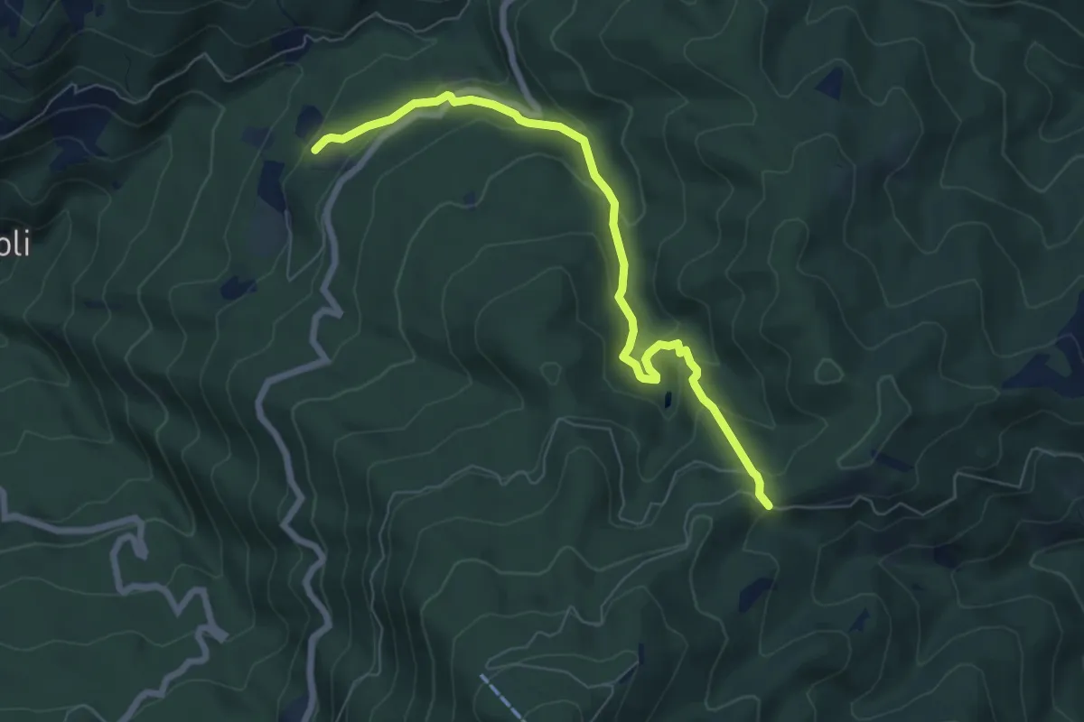
Medium · Trail
Tosi – Croce Vecchia
7.2 km · ↑ 387 m · 2 h 33 min · 8 km away
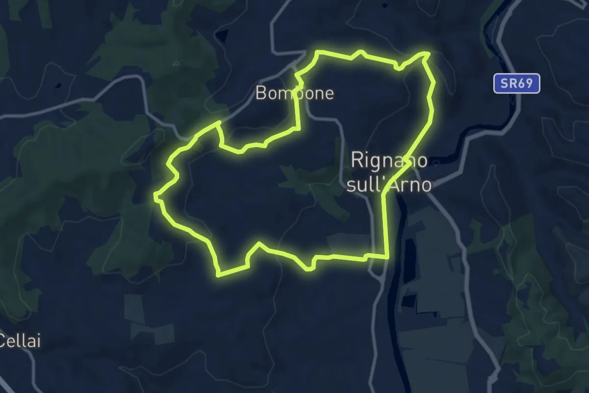
Medium · Trail
Rignano sull'Arno – Rignano sull'Arno
10.3 km · ↑ 284 m · 3 h 12 min · 8 km away
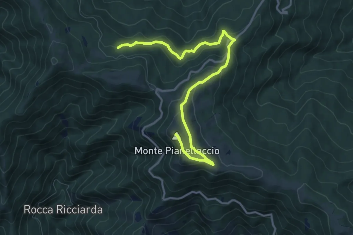
Medium · Summit
Hinkler Ring
10.3 km · ↑ 458 m · 3 h 25 min · 8 km away
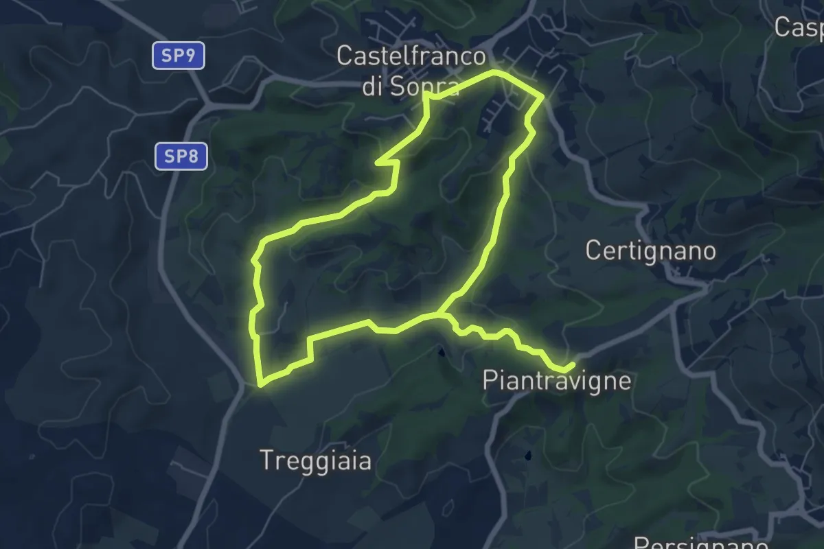
Easy · Trail
Sentiero dell'Acqua Zolfina
6.2 km · ↑ 204 m · 1 h 57 min · 8 km away
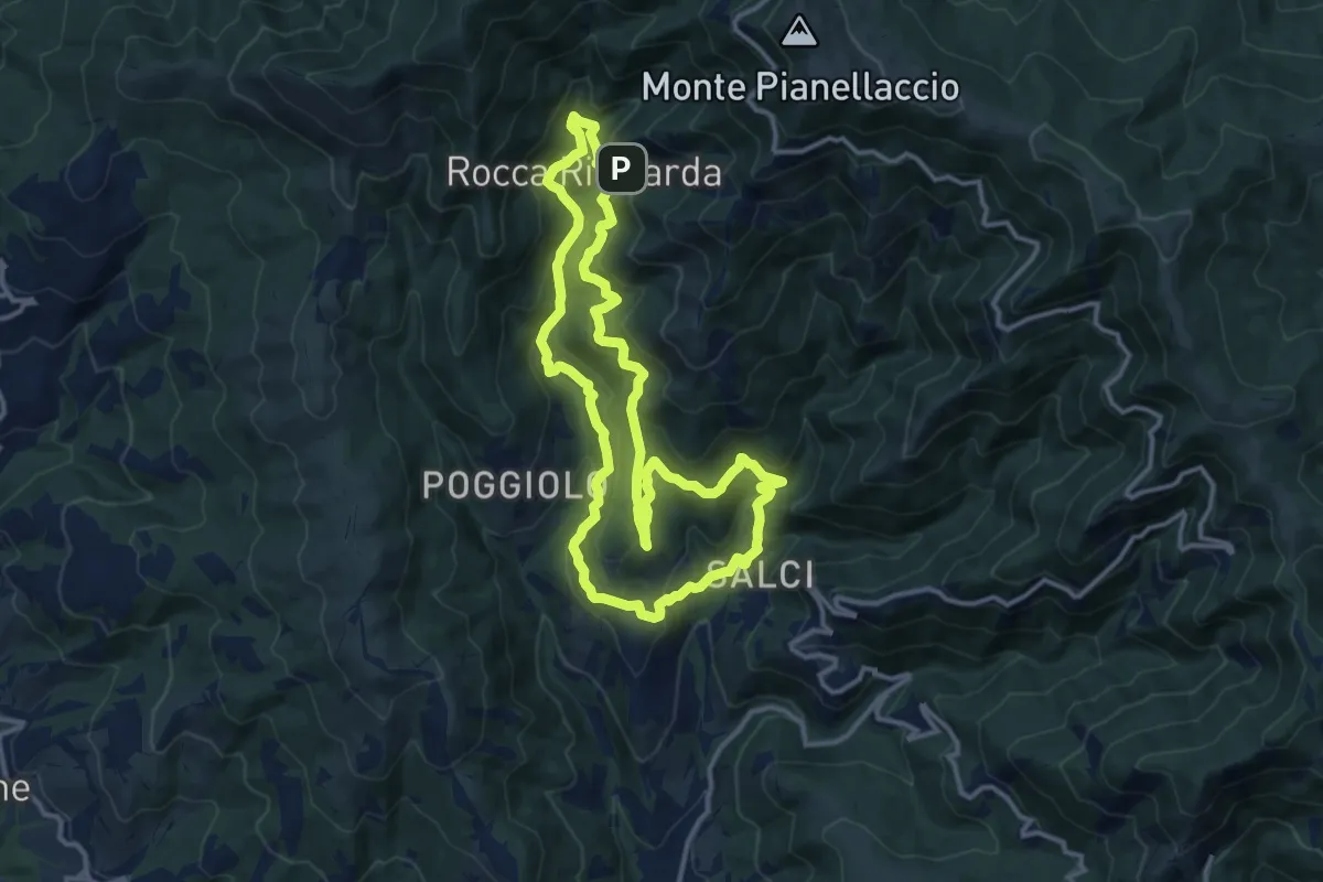
Medium · Trail
Via del Castagno
13.1 km · ↑ 750 m · 4 h 54 min · 8 km away
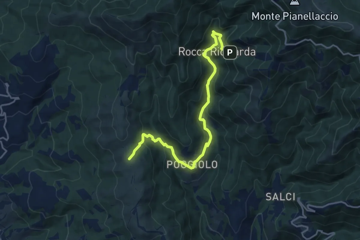
Medium · Trail
Sentiero 21,ex mulino rocca ricciarda – Sentiero 35 crinale di cocollo
12.8 km · ↑ 633 m · 4 h 24 min · 8 km away
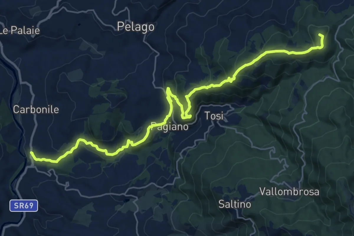
Demanding · Summit
Sant'Ellero – Consuma
25.0 km · ↑ 1091 m · 8 h 16 min · 8 km away