Trails near Reggello
95 hikes starting within 15 km, nearest first.
Nearest first, page 2 of 2
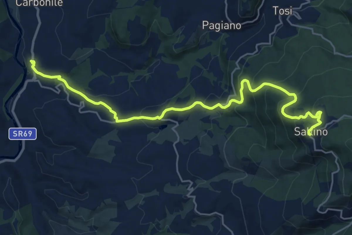
Demanding · Trail
Percorso ex ferrovia a cremagliera Sant'Ellero Saltino
17.4 km · ↑ 883 m · 6 h 1 min · 8 km away
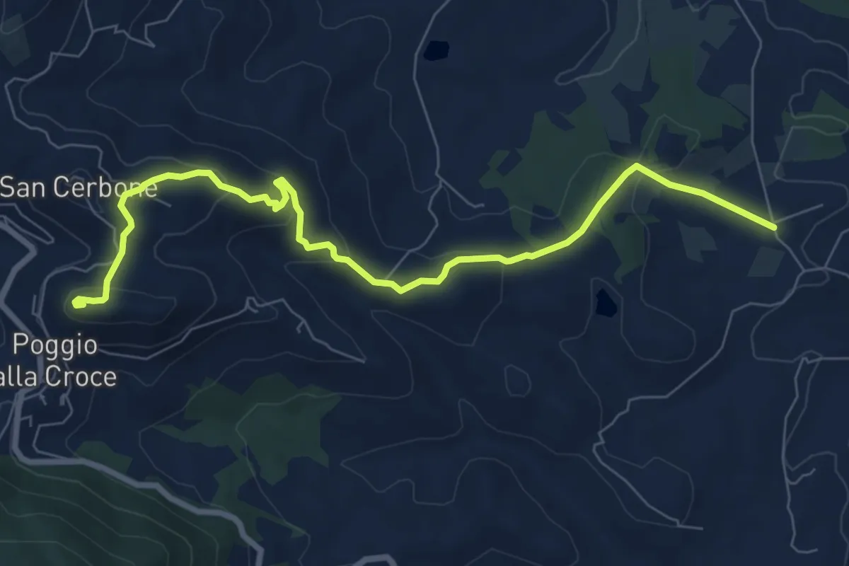
Medium · Summit
Loppiano – Poggio alla Croce
8.7 km · ↑ 351 m · 2 h 49 min · 9 km away
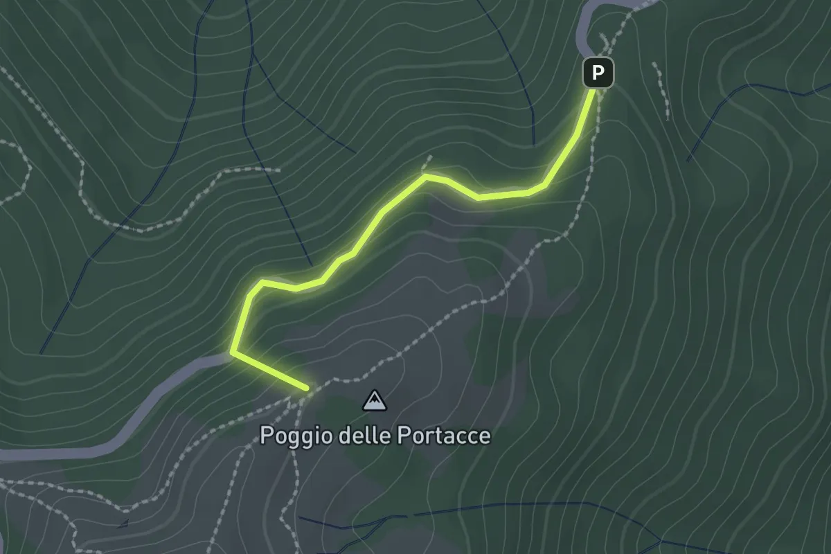
Easy · Summit
Variante Hinkler Ring A
2.0 km · ↑ 135 m · 45 min · 10 km away
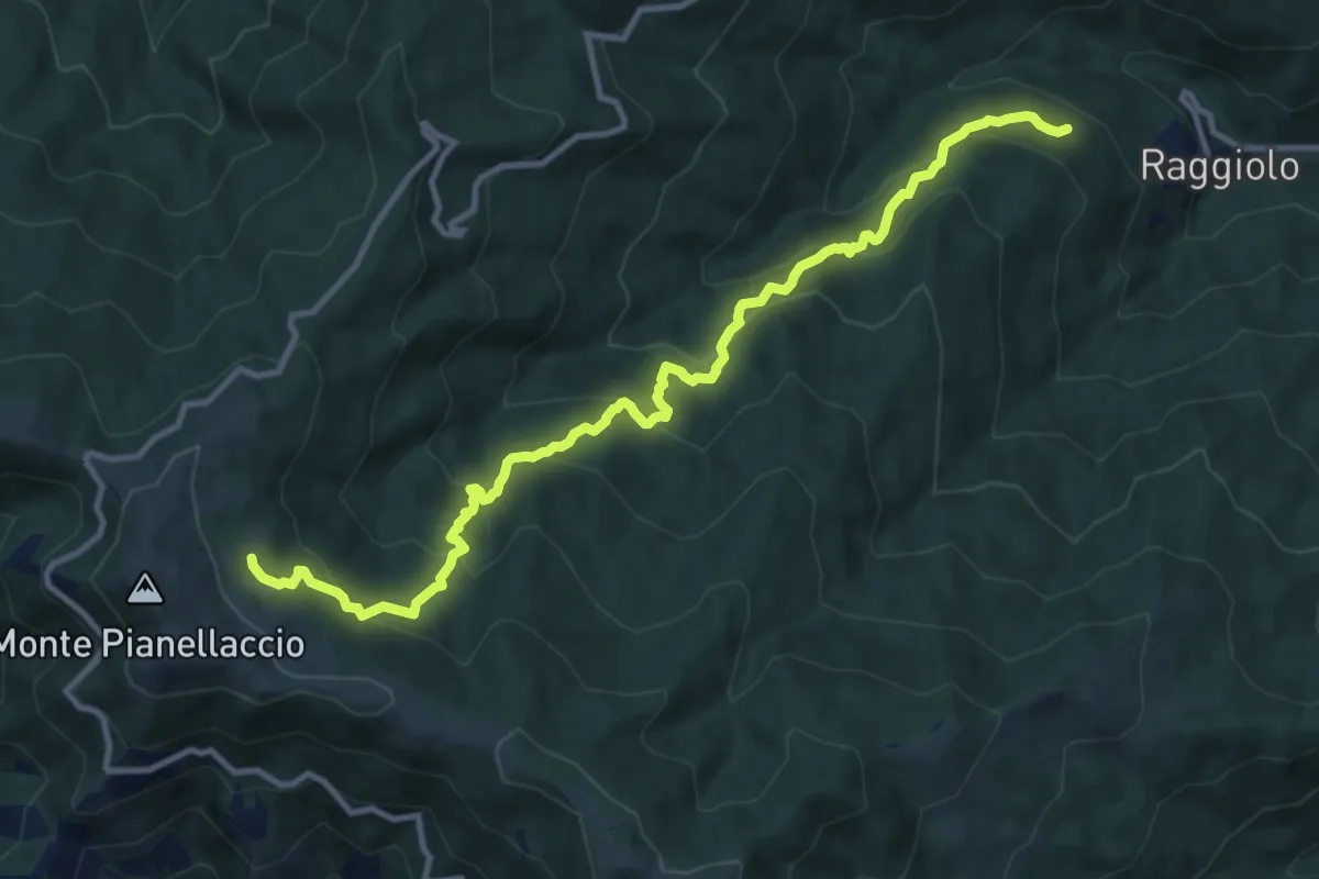
Demanding · Trail
Sentiero 30 presso Raggiolo – Sentiero 942 presso Fonte del Duca
12.7 km · ↑ 991 m · 5 h 9 min · 10 km away
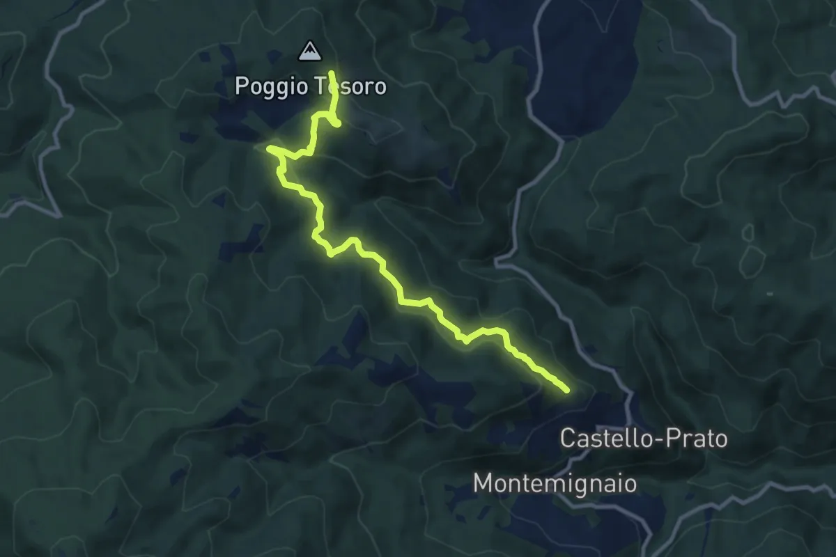
Medium · Trail
Innesto sentiero 926 presso Maestà di Pescina – sentiero 900 sotto Poggio Tesoro
10.4 km · ↑ 519 m · 3 h 34 min · 10 km away
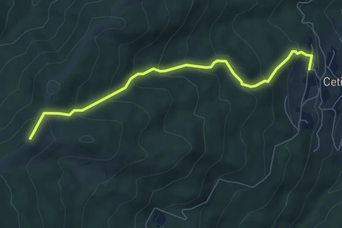
Medium · Summit
Cetica – Innesto Sentiero 928 presso Varco di Reggello
6.3 km · ↑ 482 m · 2 h 32 min · 10 km away
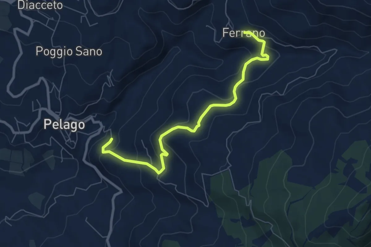
Medium · Trail
Pelago – Ferrano
7.1 km · ↑ 358 m · 2 h 27 min · 10 km away
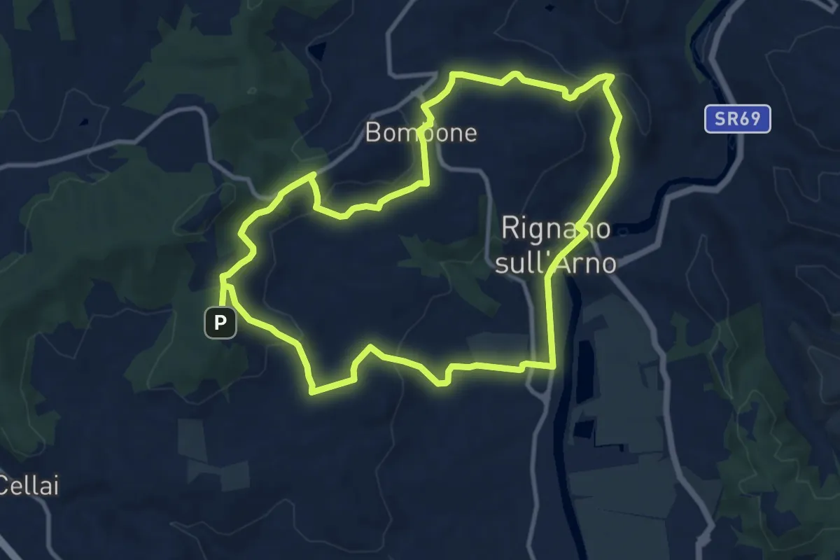
Medium · Trail
Percorso "Pievi, Chiese e Castelli"
10.6 km · ↑ 279 m · 3 h 16 min · 10 km away
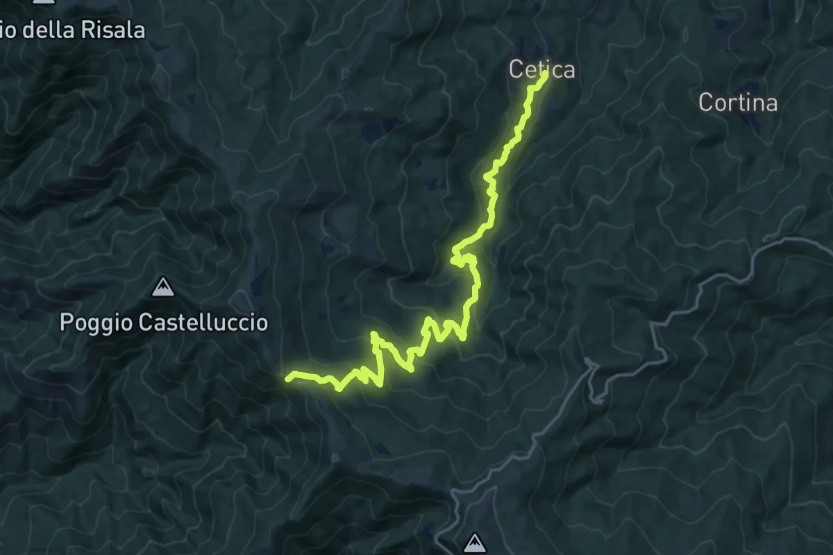
Demanding · Cabin
Cetica – Varco di Gastra
19.0 km · ↑ 929 m · 6 h 30 min · 10 km away
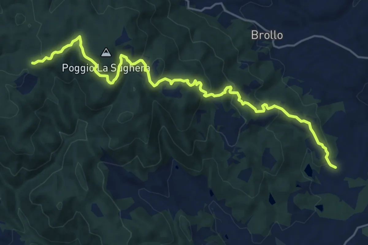
Medium · Trail
Figline Valdarno – Cappella nei boschi Badia Monte Scalari
16.2 km · ↑ 635 m · 5 h 12 min · 11 km away
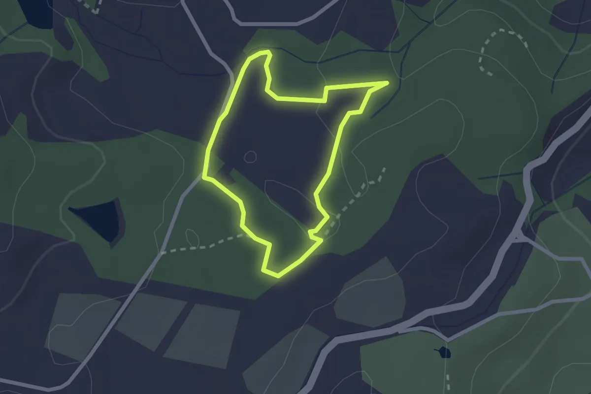
Easy · Trail
Sentiero della Granchia
1.9 km · ↑ 25 m · 32 min · 11 km away
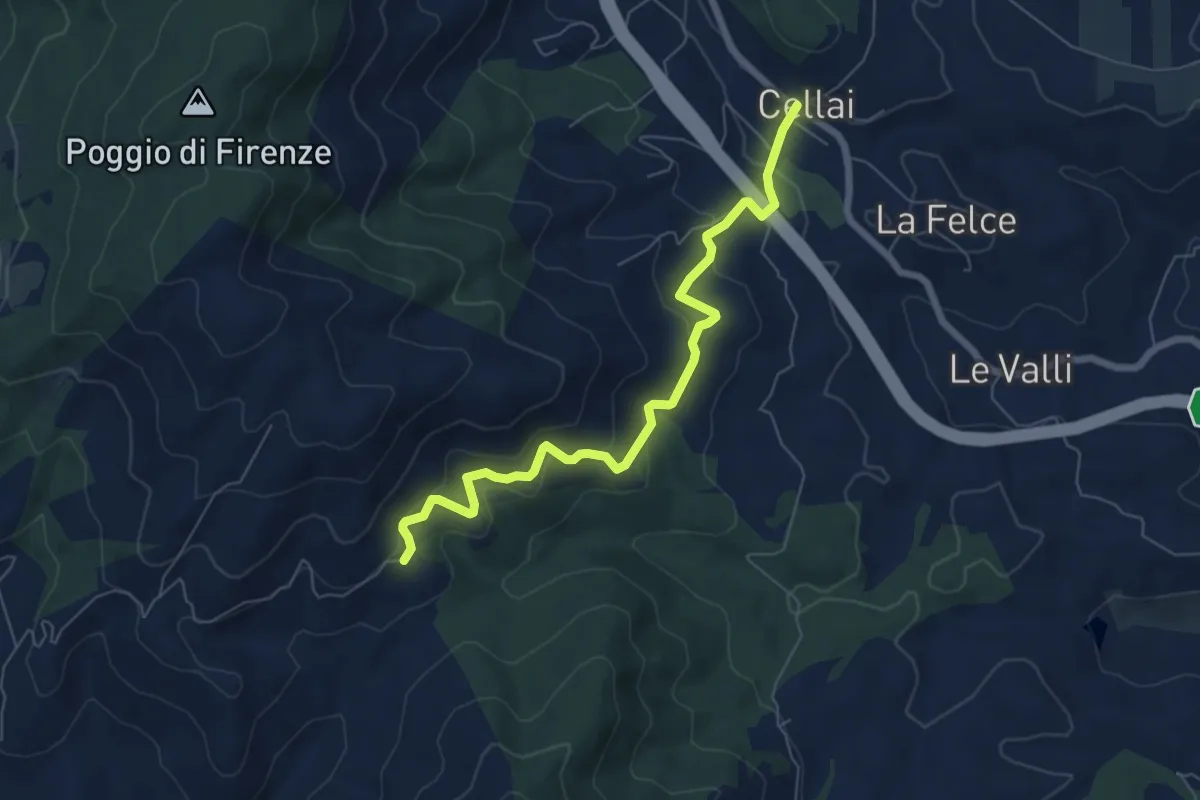
Medium · Trail
Cellai – Fabiano
7.1 km · ↑ 347 m · 2 h 25 min · 11 km away
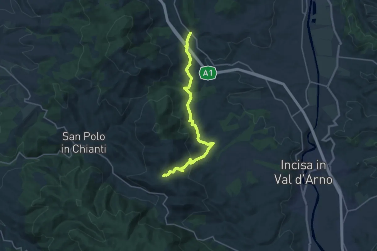
Medium · Trail
Cellai – sent. 00
15.0 km · ↑ 470 m · 4 h 34 min · 11 km away
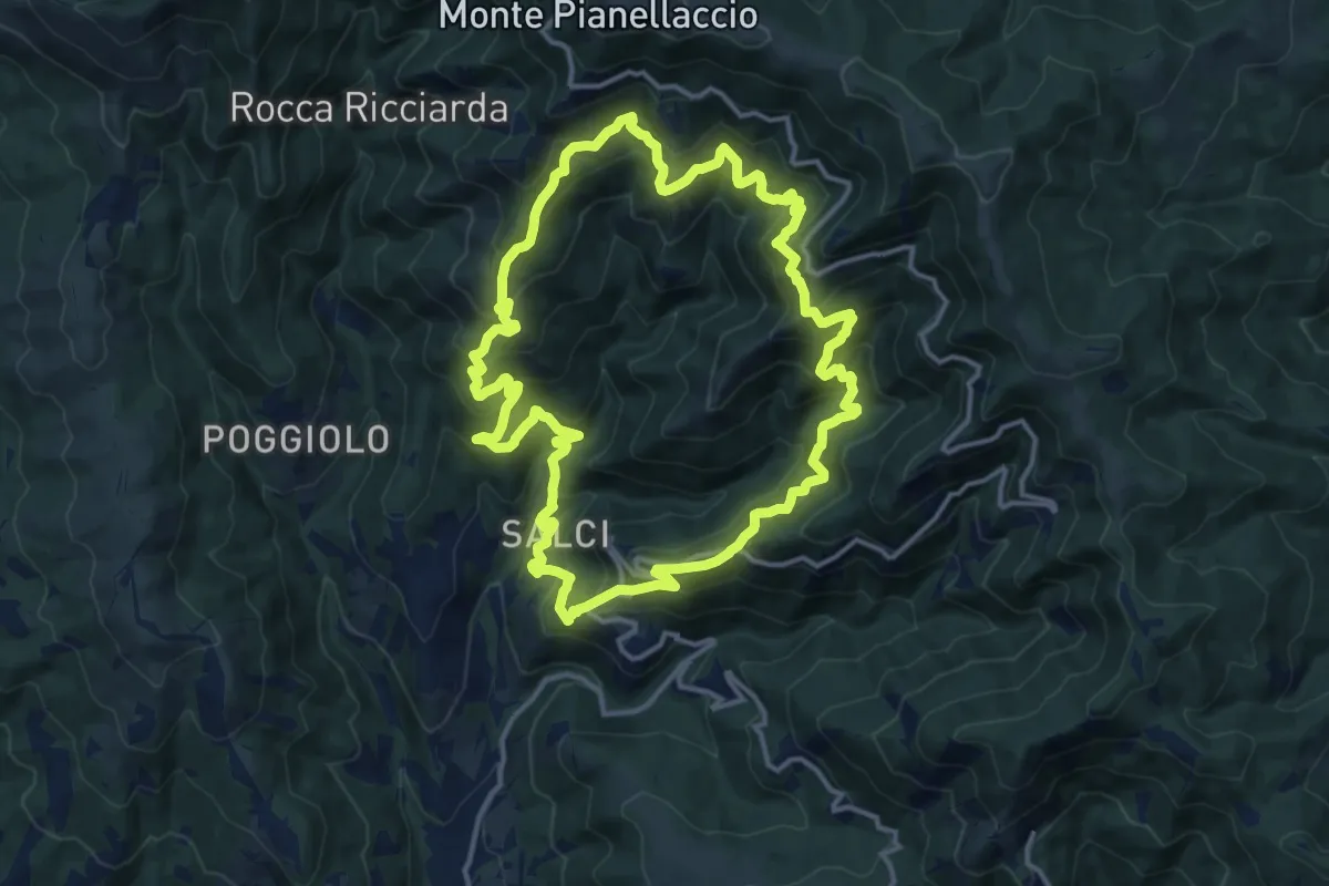
Demanding · Trail
Sentiero della Dondola
15.1 km · ↑ 1134 m · 6 h 14 min · 11 km away
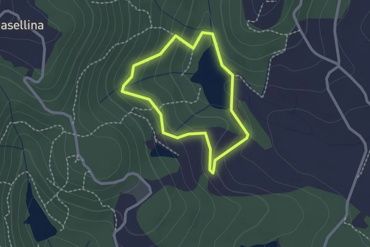
Easy · Trail
Sentiero San Martino
1.6 km · ↑ 66 m · 32 min · 11 km away
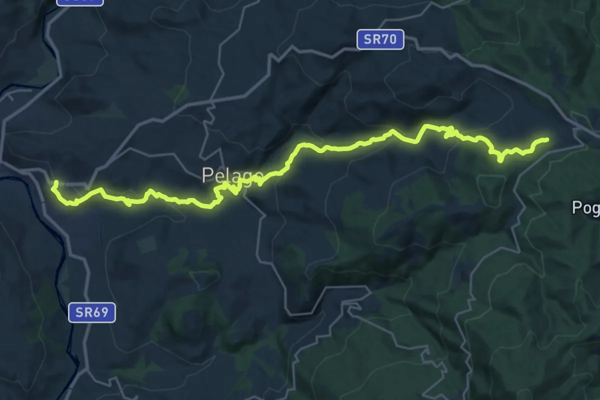
Demanding · Trail
Palaie – Podernovo
13.2 km · ↑ 964 m · 5 h · 11 km away
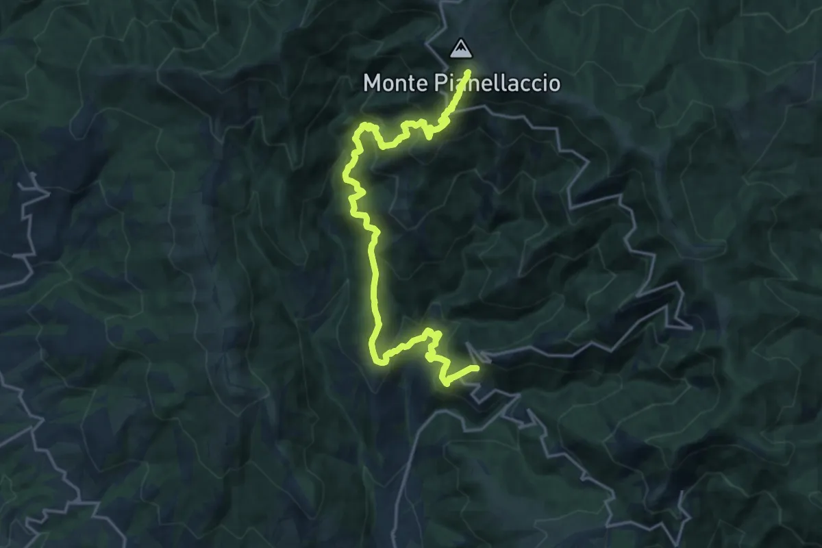
Demanding · Summit
Maestà di Bastiano – Croce di Pratomagno
20.1 km · ↑ 1670 m · 8 h 22 min · 12 km away
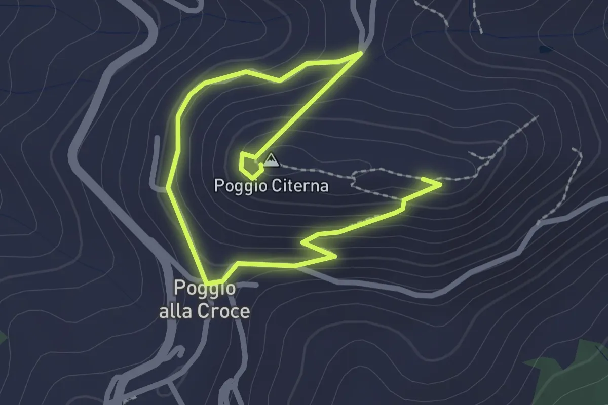
Medium · Summit
Sentiero naturalistico di Poggio Citerna
1.6 km · ↑ 73 m · 34 min · 12 km away
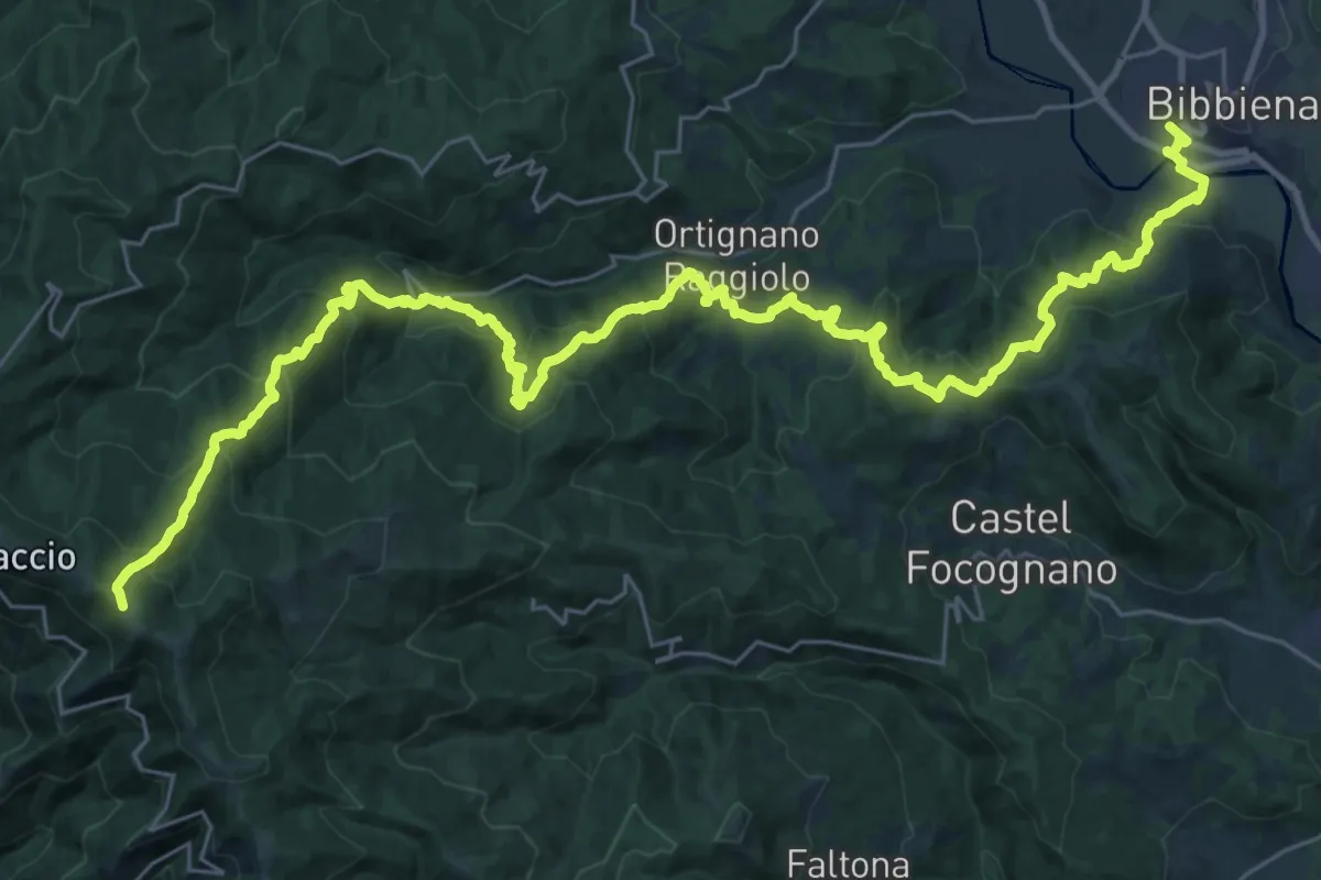
Demanding · Trail
Bibbiena loc. Pollino – Innesto Sentiero 900 presso Pozza Nera
21.0 km · ↑ 617 m · 7 h 10 min · 12 km away
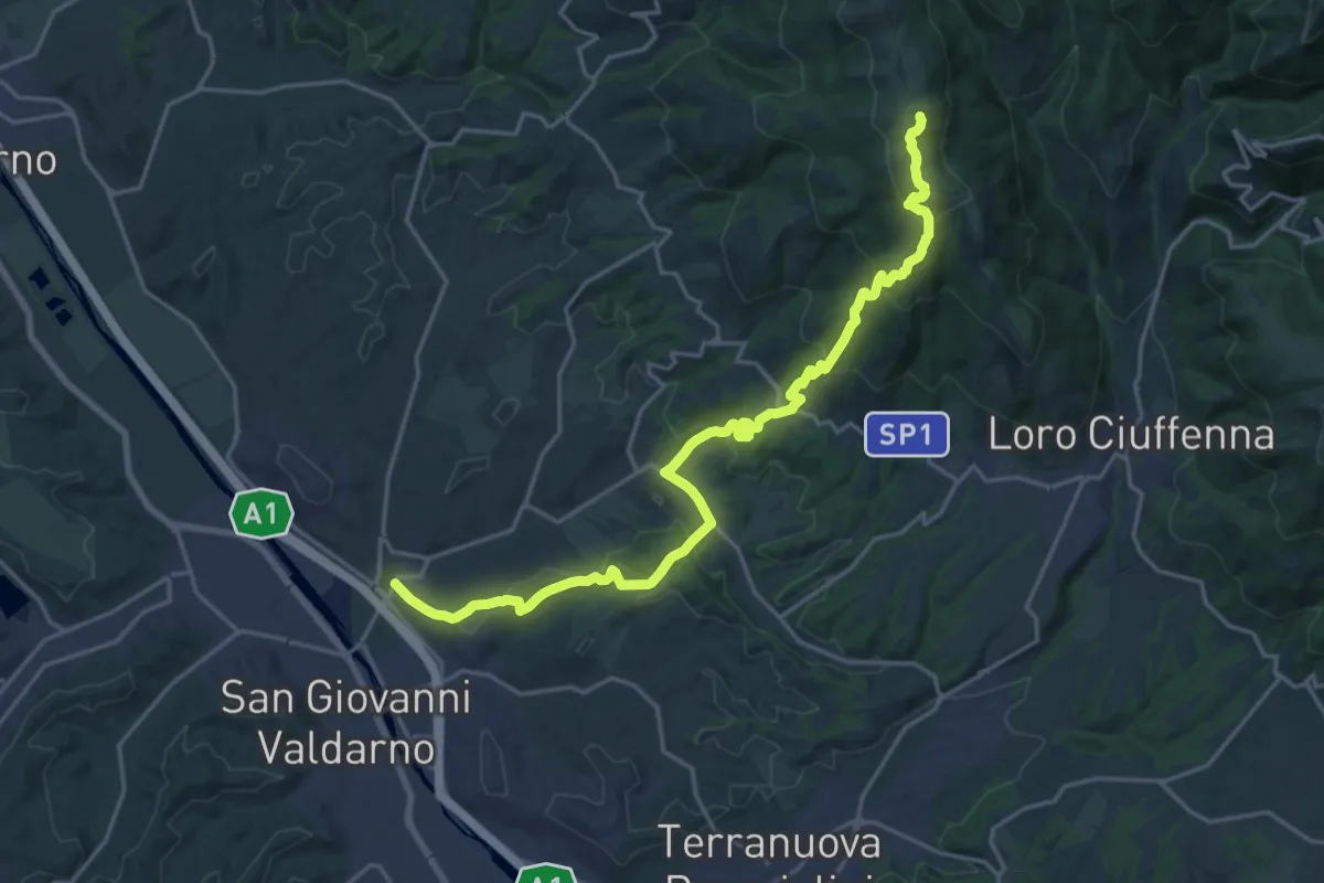
Demanding · Summit
S. Giovanni Valdarno – Poggio Montrago
23.1 km · ↑ 1025 m · 7 h 40 min · 12 km away
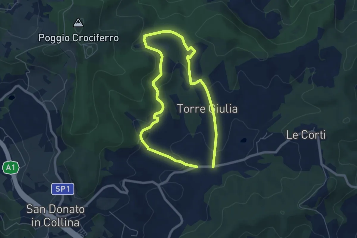
Medium · Trail
Il Fossato – Badiuzza
9.5 km · ↑ 264 m · 2 h 50 min · 12 km away
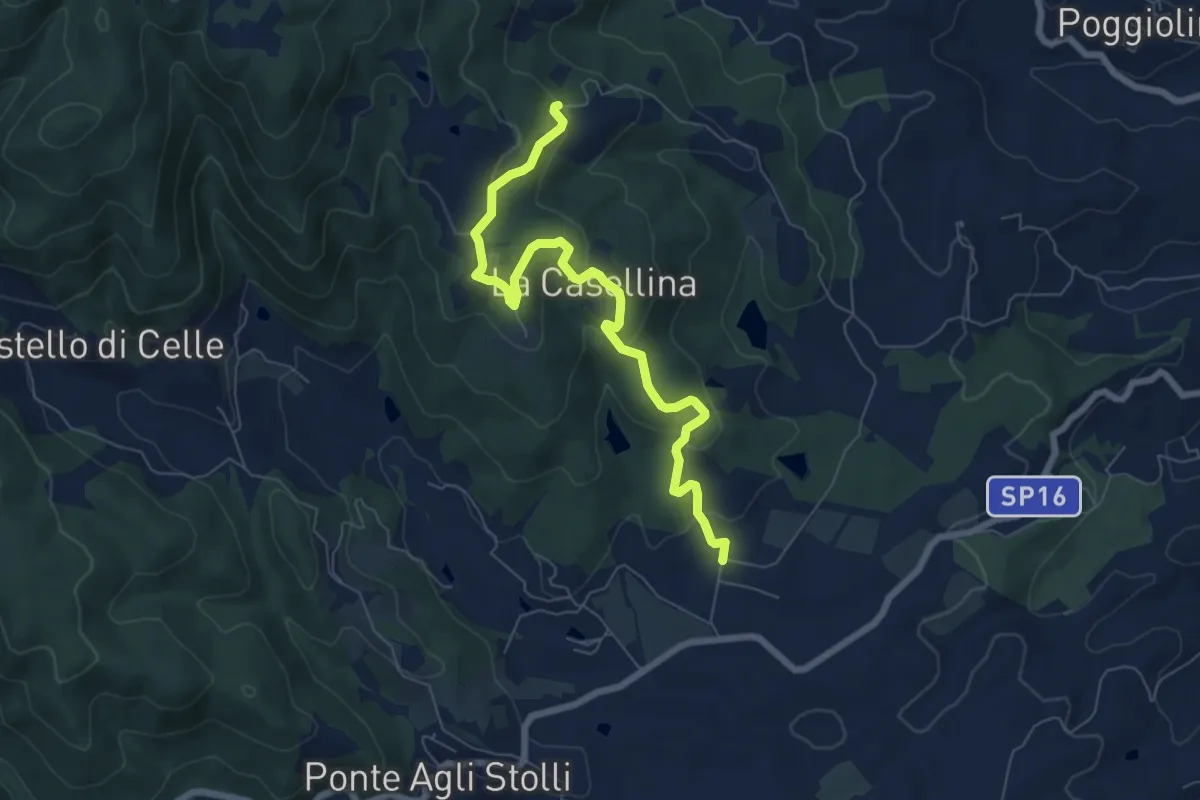
Easy · Trail
Via Santa Lucia
7.8 km · ↑ 280 m · 2 h 27 min · 12 km away
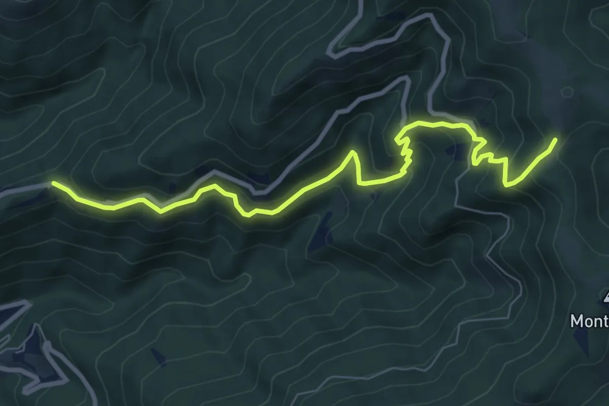
Medium · Trail
Trappola – sent. 00
8.3 km · ↑ 696 m · 3 h 28 min · 12 km away
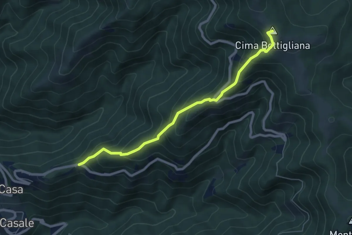
Medium · Summit
Trappola – Sentiero 00 Bottigliana
5.9 km · ↑ 571 m · 2 h 38 min · 12 km away
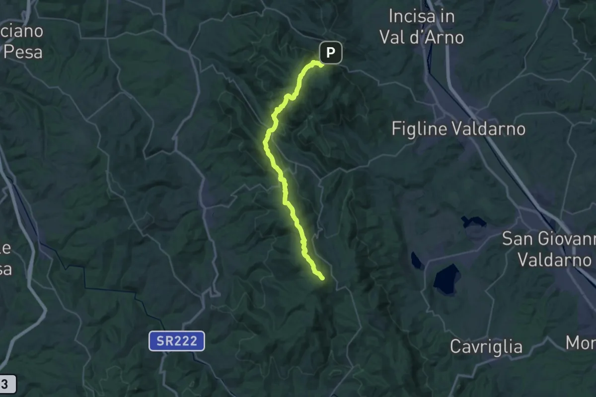
Demanding · Summit
Poggio alla Croce – Badiaccia a Montemuro
30.7 km · ↑ 1259 m · 9 h 58 min · 12 km away
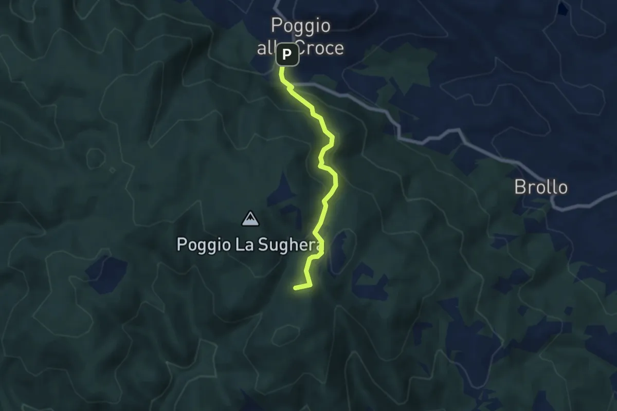
Demanding · Summit
Poggio alla Croce – Celle
5.6 km · ↑ 296 m · 1 h 57 min · 12 km away
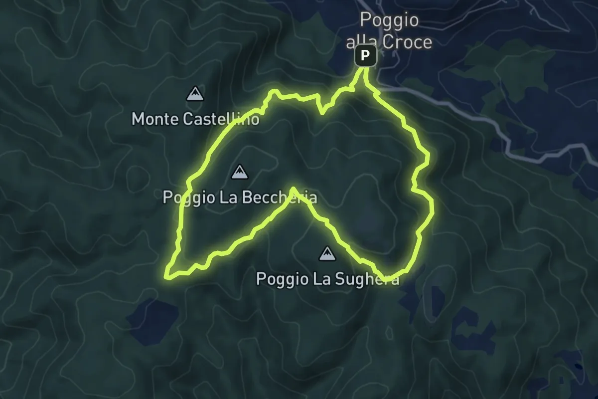
Demanding · Summit
SM1 Sentiero della Memoria Monti Scalari e Pian d'Albero
7.5 km · ↑ 394 m · 2 h 43 min · 12 km away
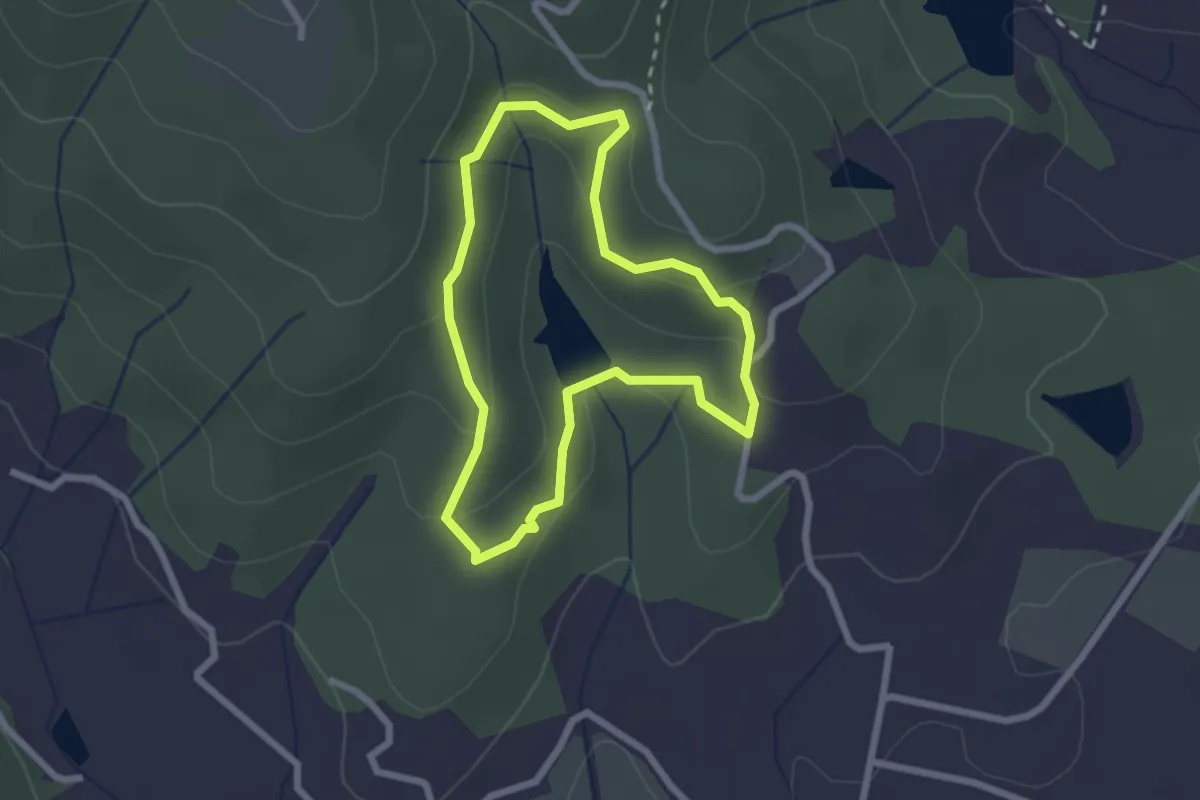
Easy · Trail
SB Sentiero del boscarone
2.2 km · ↑ 74 m · 43 min · 12 km away
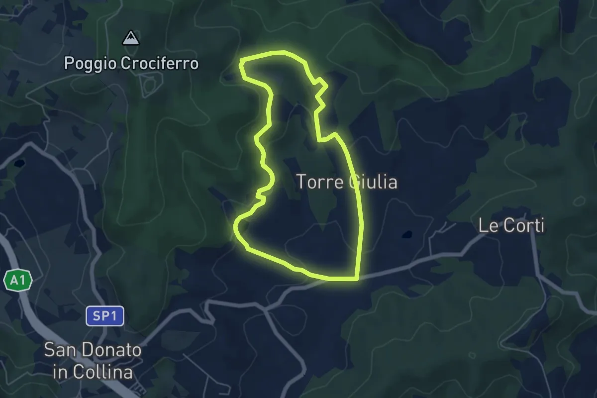
Easy · Trail
Percorso della Memoria
5.0 km · ↑ 143 m · 1 h 33 min · 12 km away
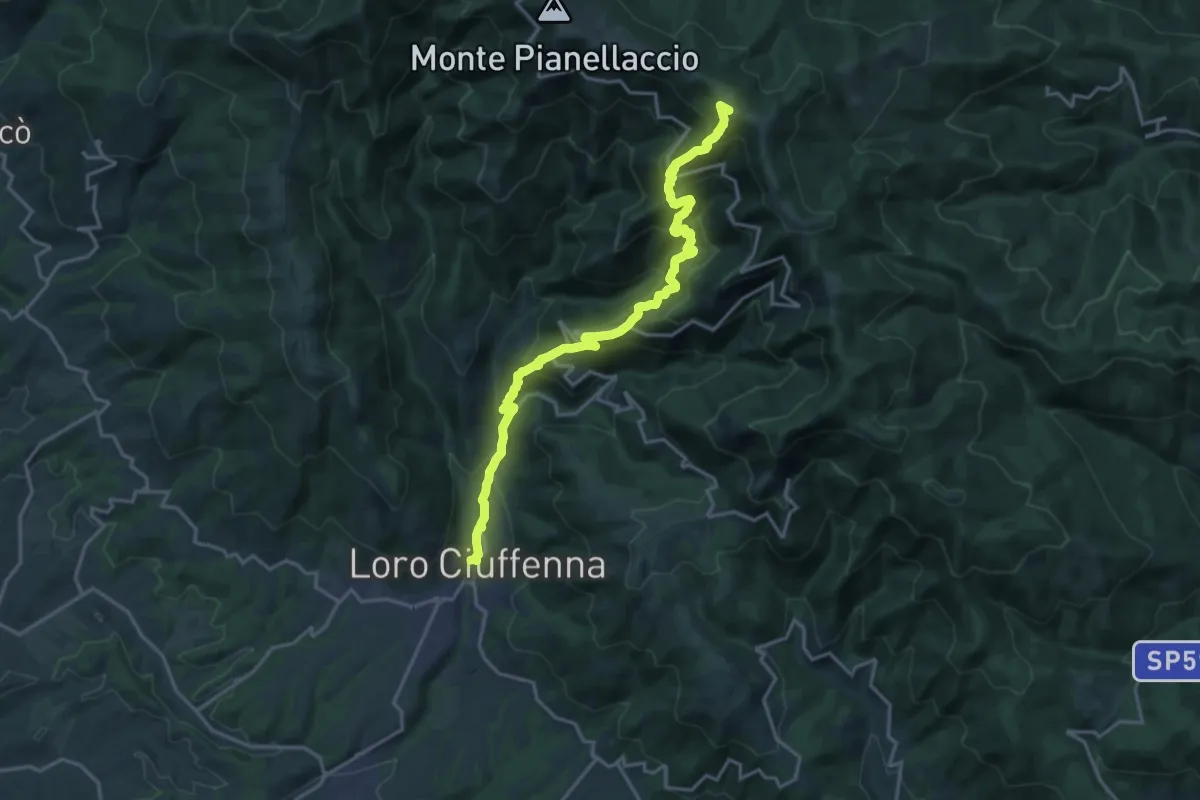
Demanding · Summit
Loro Ciuffenna – sent. 00 Pozza Nera
20.0 km · ↑ 1540 m · 8 h 4 min · 13 km away
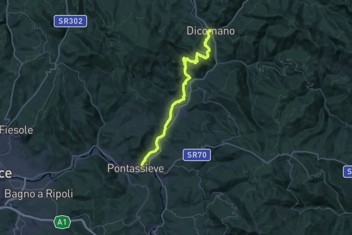
Demanding · Trail
Cammino di Dante - Tappa 9
20.7 km · ↑ 724 m · 6 h 44 min · 13 km away
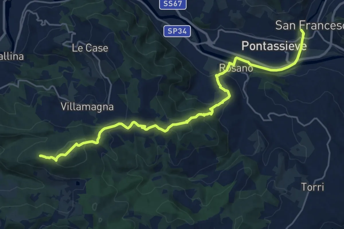
Demanding · Summit
Cammino di Dante - Tappa 10
18.2 km · ↑ 661 m · 5 h 44 min · 13 km away
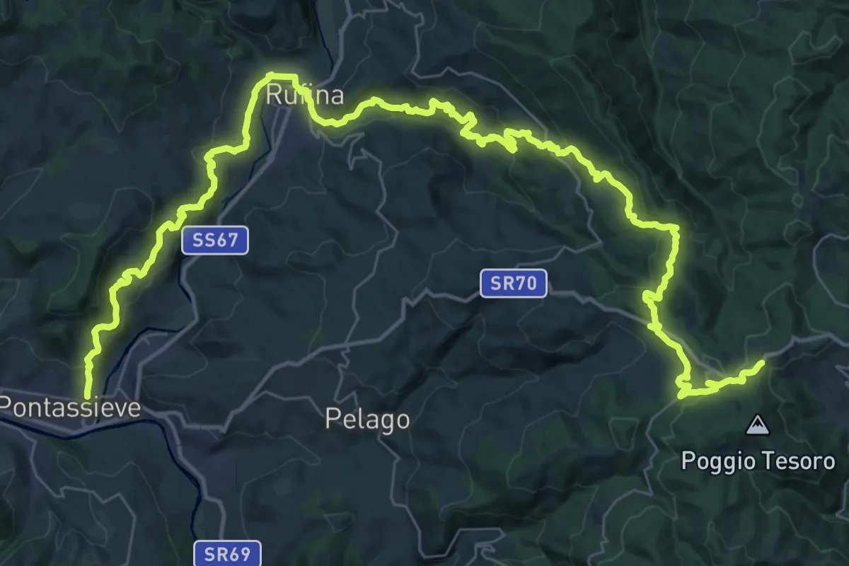
Demanding · Trail
Sentiero della Memoria
28.4 km · ↑ 1490 m · 9 h 53 min · 13 km away
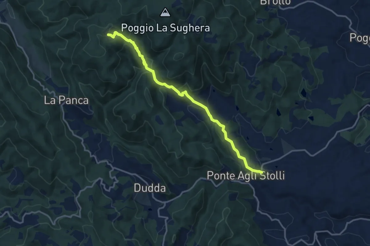
Medium · Trail
Ponte agli Stolli – Monte Scalari
11.6 km · ↑ 495 m · 3 h 49 min · 13 km away
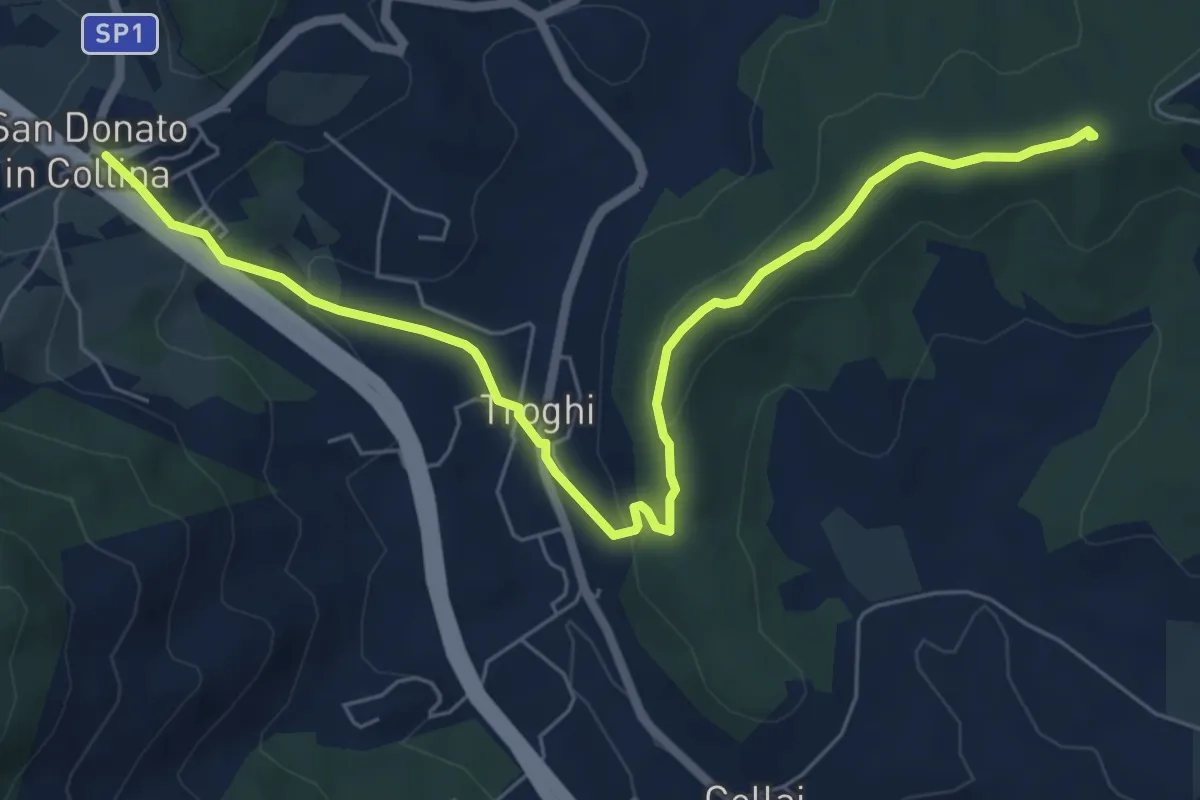
Easy · Summit
Rignano sull'Arno – Troghi
8.0 km · ↑ 250 m · 2 h 25 min · 13 km away
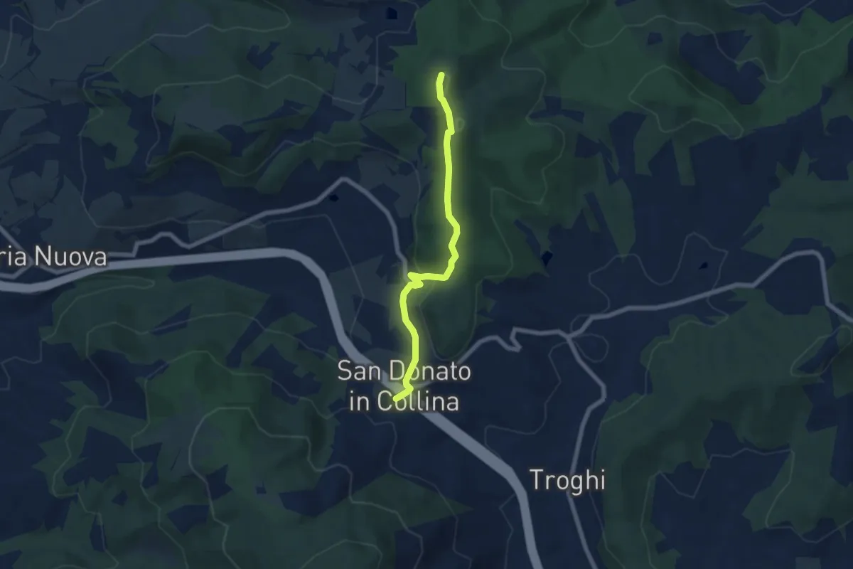
Easy · Summit
Sentiero 0 – da Poggio a Luco a San Donato in Collina
6.1 km · ↑ 172 m · 1 h 48 min · 13 km away
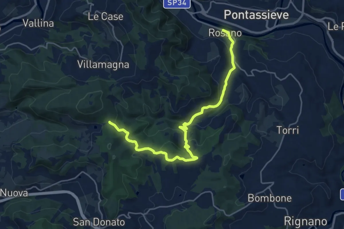
Medium · Trail
Rosano – Valico Di Terzano
16.9 km · ↑ 480 m · 5 h 1 min · 13 km away
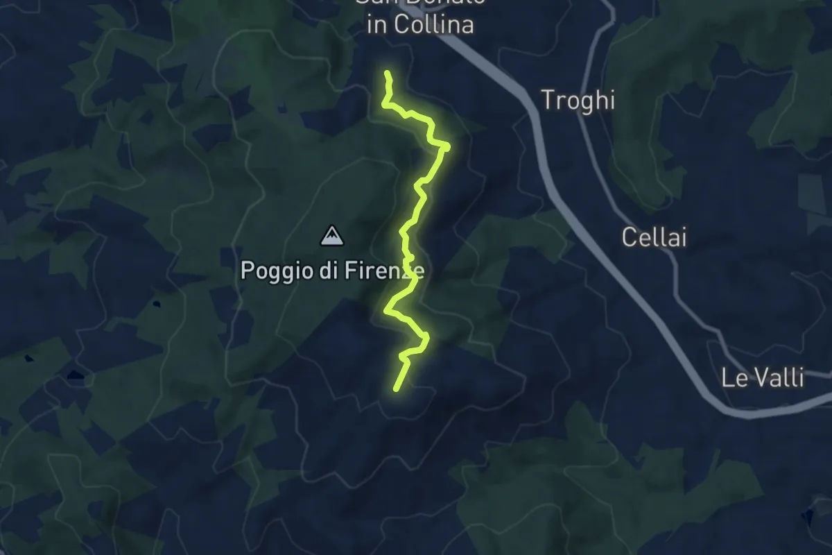
Medium · Trail
S. Donato in Collina – Casa al Monte
7.1 km · ↑ 427 m · 2 h 36 min · 13 km away
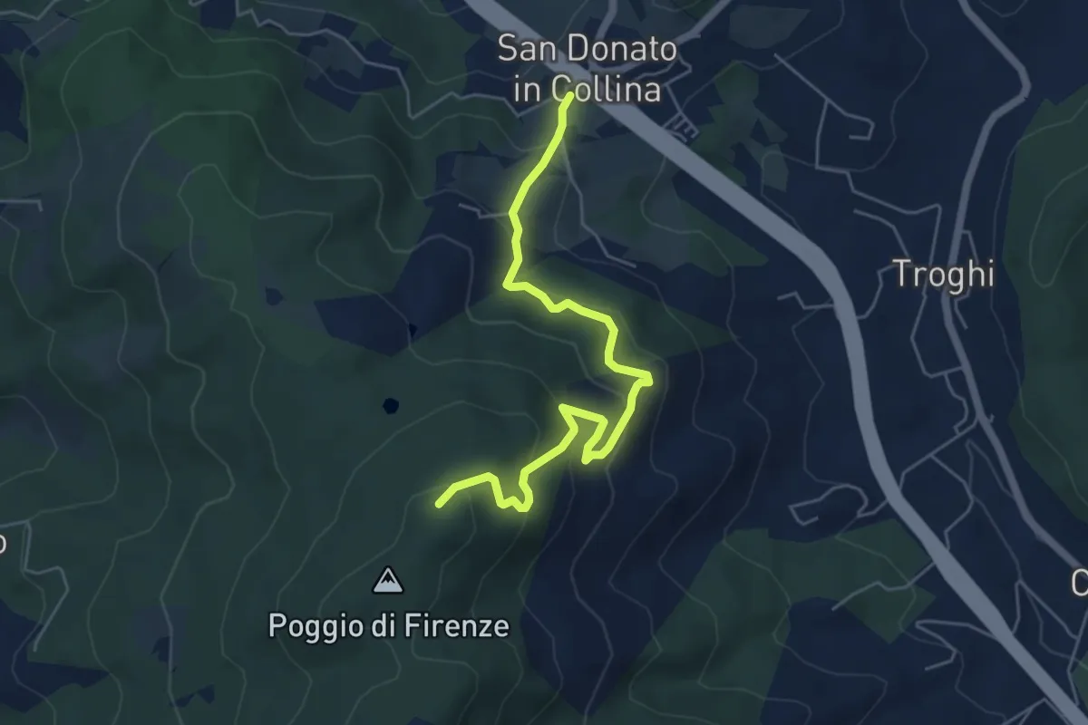
Medium · Trail
San Donato in Collina – Poggio di Firenze
5.9 km · ↑ 378 m · 2 h 13 min · 13 km away
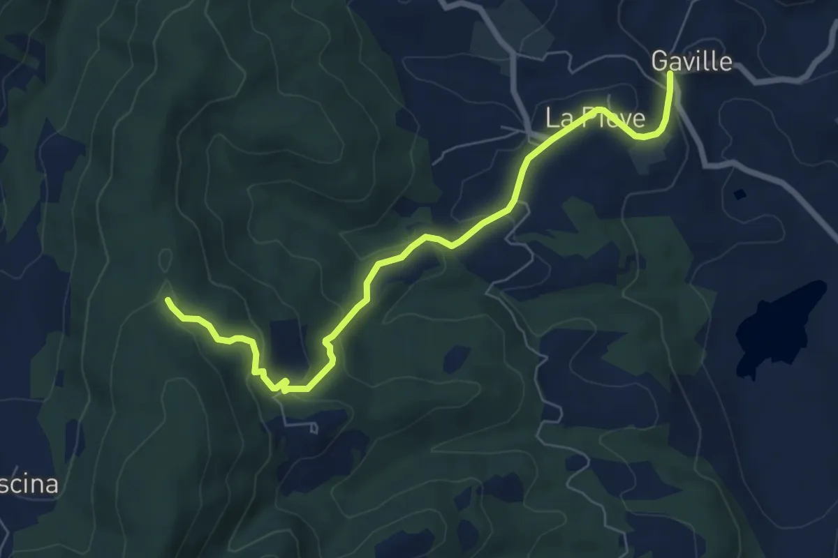
Easy · Trail
Gaville – sent. 9
7.4 km · ↑ 307 m · 2 h 24 min · 13 km away
Medium · Trail
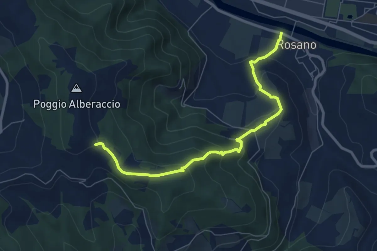
Rosano – Poggio Alberaccio
6.9 km · ↑ 369 m · 2 h 26 min · 13 km away
Easy · Summit
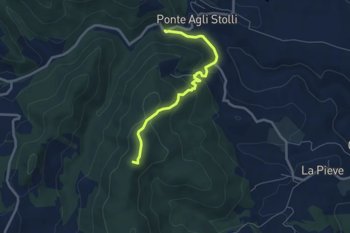
Ponte agli Stolli – Badiaccia a Montemuro
5.1 km · ↑ 282 m · 1 h 49 min · 14 km away
Demanding · Trail
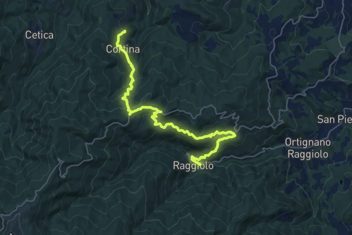
Innesto Sentiero 930 presso Raggiolo – Innesto Sentiero 929 presso Garliano
20.2 km · ↑ 1027 m · 7 h · 14 km away
Easy · Trail
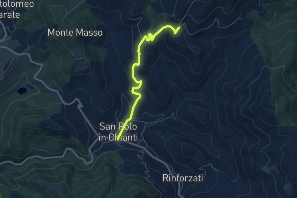
San Polo in Chianti – San Clemente in Panzalla
6.1 km · ↑ 234 m · 1 h 57 min · 14 km away
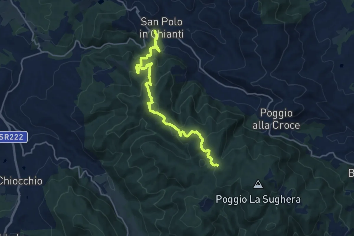
Medium · Trail
San Polo in Chianti – Croce ai Trogoli
13.6 km · ↑ 767 m · 4 h 53 min · 15 km away
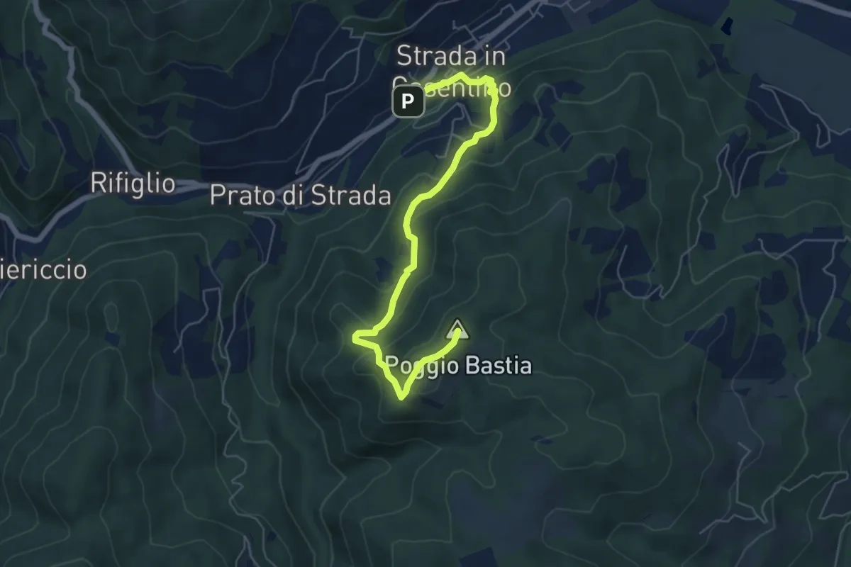
Medium · Summit
Strada in Casentino – Quorle
6.5 km · ↑ 349 m · 2 h 17 min · 15 km away
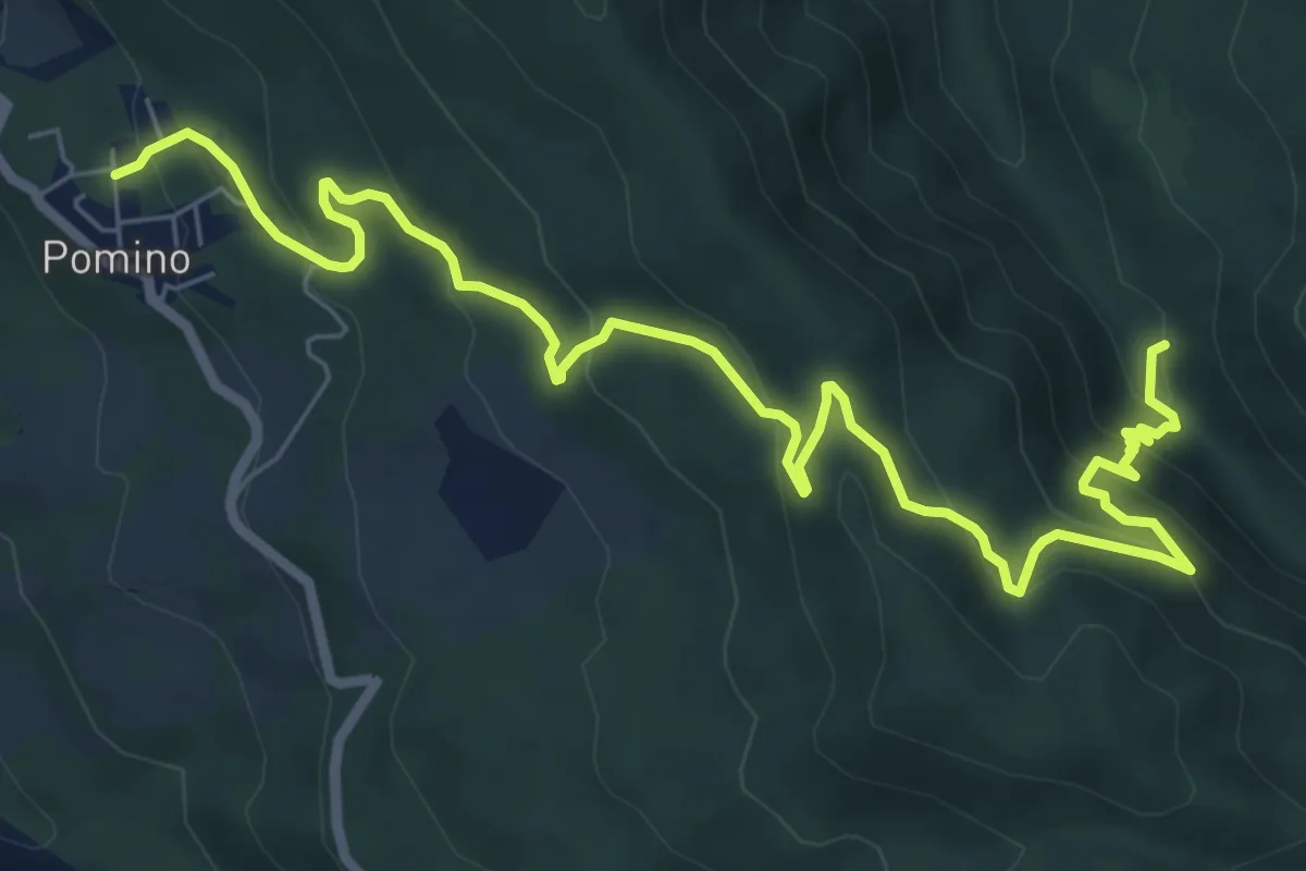
Medium · Trail
Guado – v. delle svolte
9.5 km · ↑ 519 m · 3 h 22 min · 15 km away