Trails near Reggio Emilia
65 hikes starting within 15 km, nearest first.
Nearest first, page 1 of 2
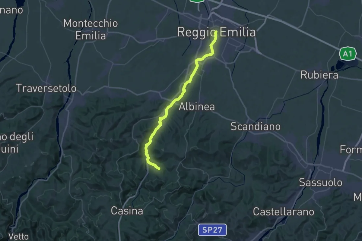
Demanding · Trail
Via Matildica del Volto Santo: Tappa 4B
22.4 km · ↑ 366 m · 6 h 15 min · under 1 km away
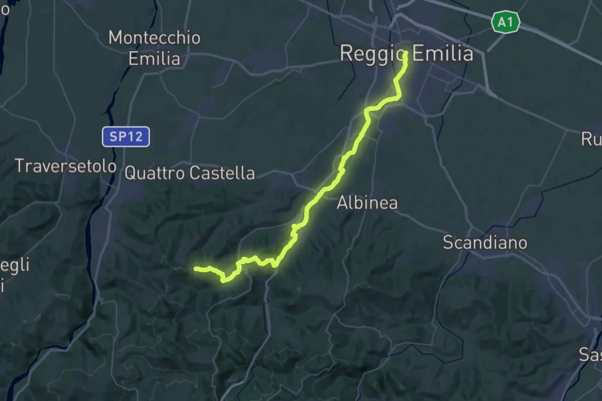
Demanding · Summit
Via Matildica del Volto Santo: Tappa 4
47.8 km · ↑ 911 m · 13 h 16 min · under 1 km away
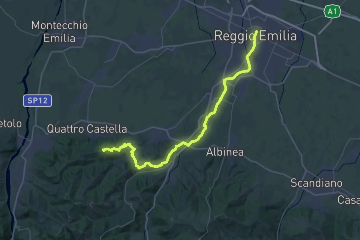
Demanding · Summit
Sentiero dei Ducati Tappa 01
43.7 km · ↑ 643 m · 11 h 42 min · under 1 km away
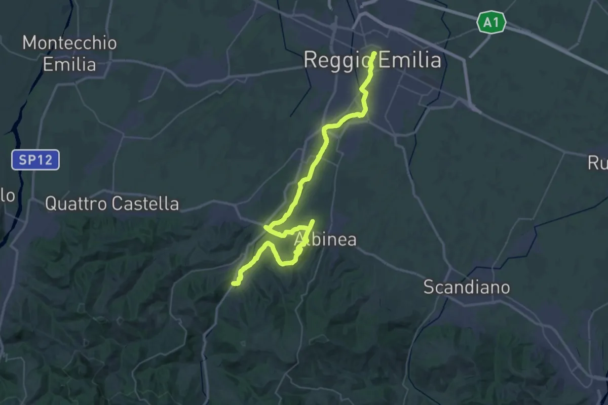
Demanding · Trail
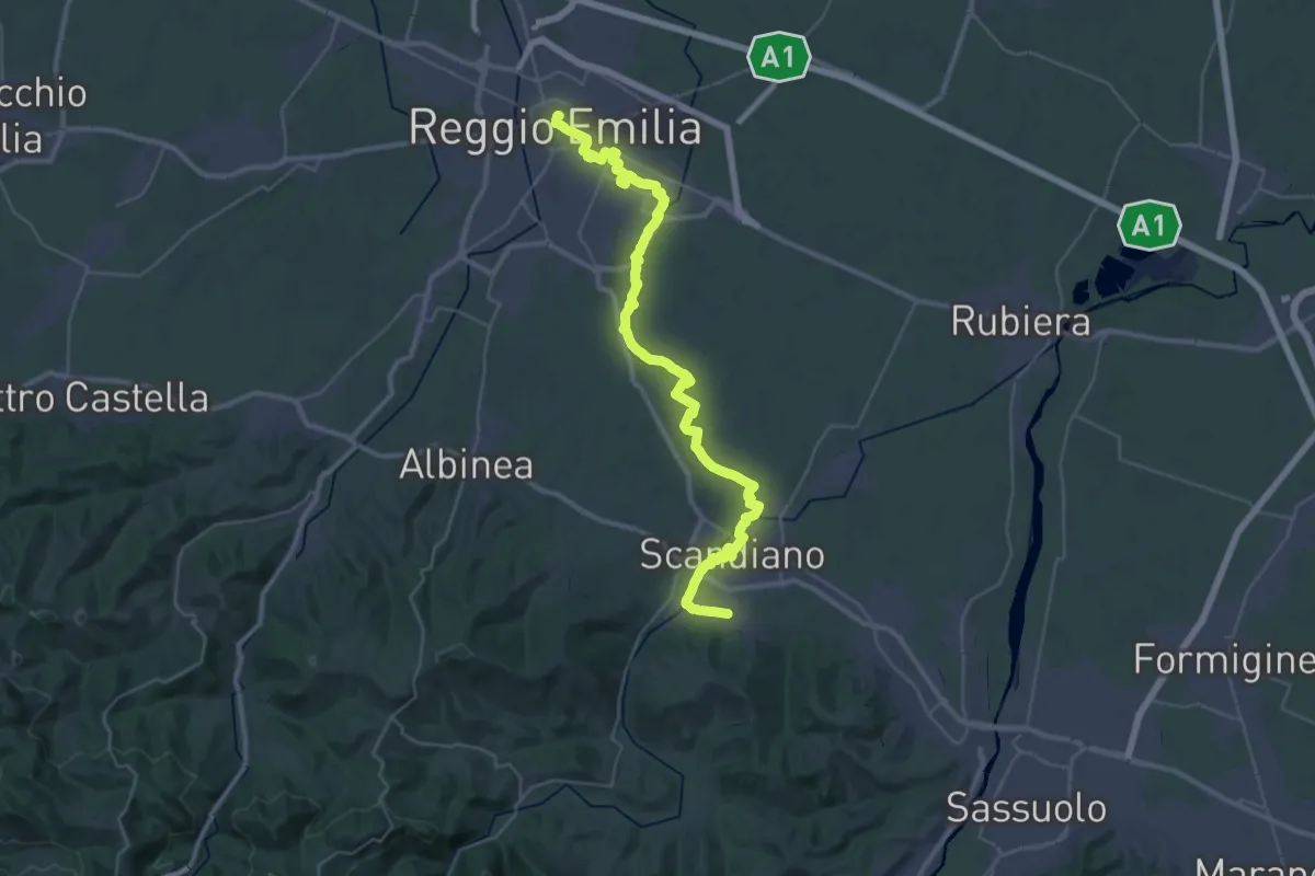
Sentiero Partigiani 16 - sentiero della liberazione
22.5 km · ↑ 271 m · 6 h 10 min · under 1 km away
Demanding · Trail
Sentiero Lazzaro Spallanzani - Tappa 1
22.4 km · ↑ 103 m · 5 h 47 min · under 1 km away
Easy · Trail
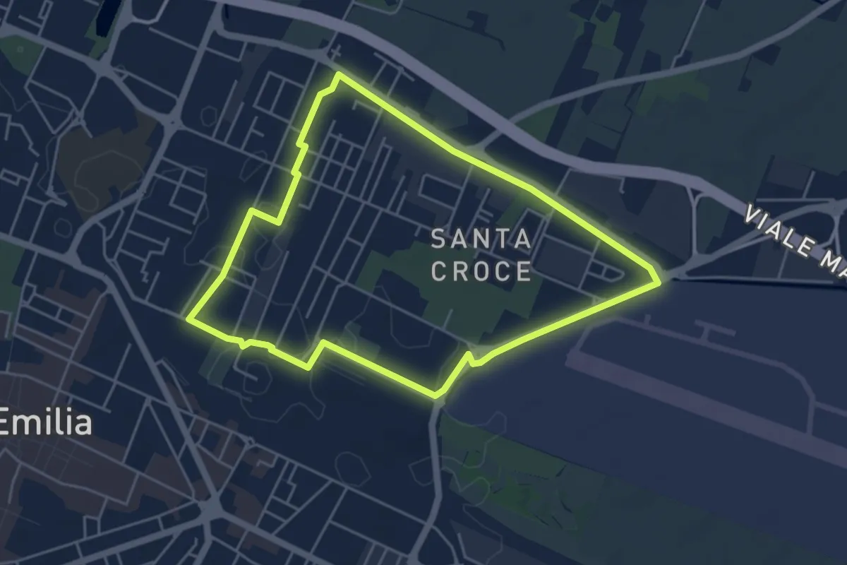
Anello di Santa Croce
4.6 km · ↑ 9 m · 1 h 10 min · 1 km away
Easy · Trail
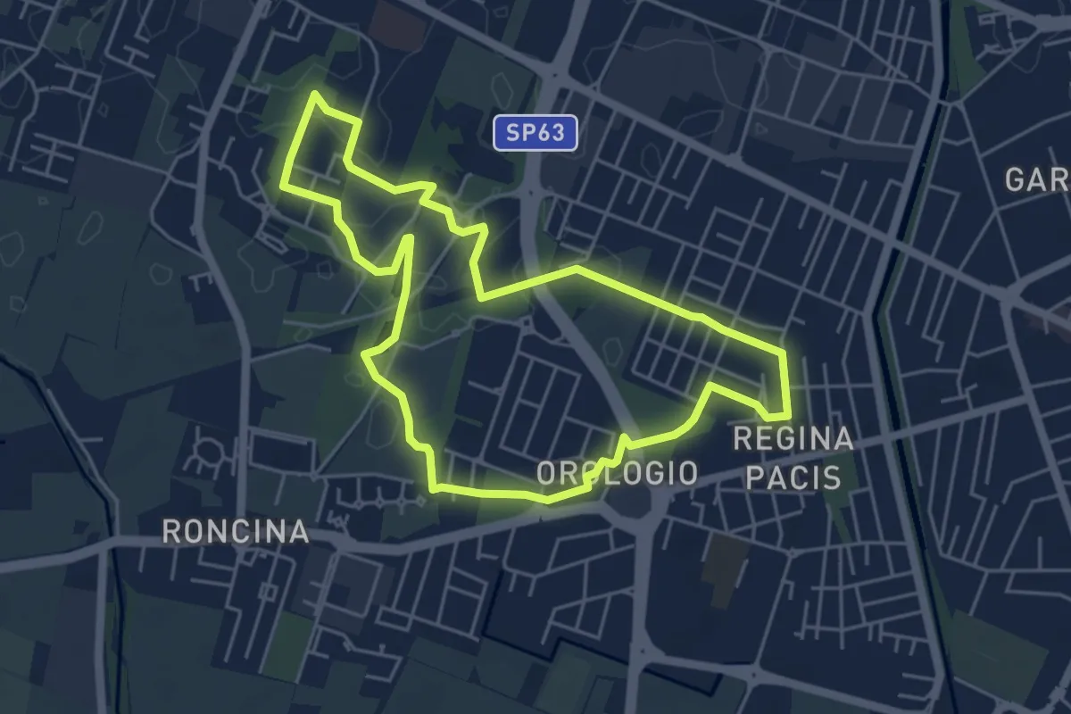
Anello Alex Langer
5.0 km · ↑ 12 m · 1 h 17 min · 1 km away
Easy · Trail
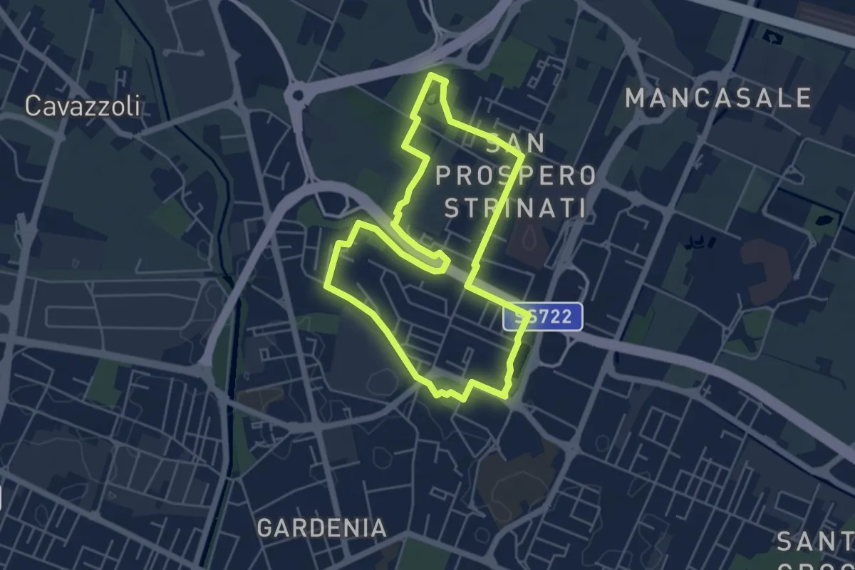
Anello di San Prospero Strinati
4.9 km · ↑ 5 m · 1 h 15 min · 2 km away
Easy · Trail
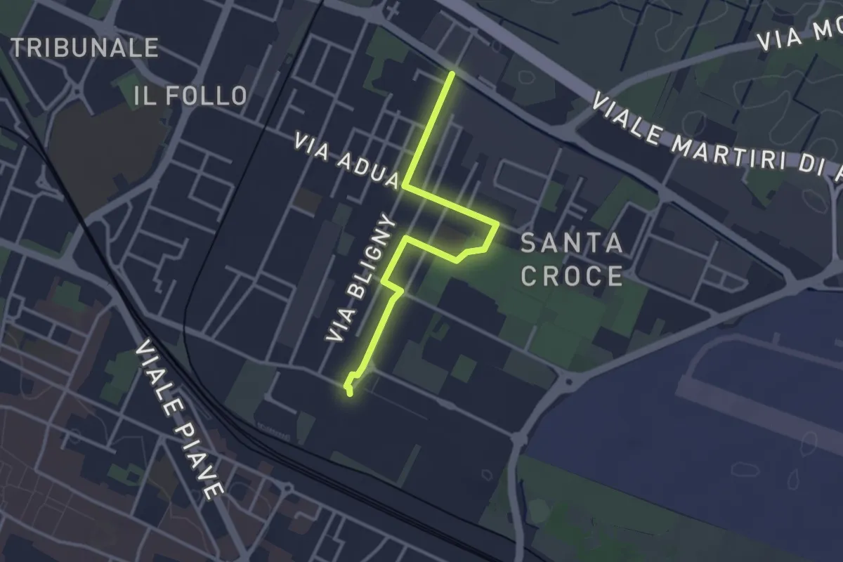
Traversa di Santa Croce
3.1 km · ↑ 4 m · 45 min · 2 km away
Medium · Trail
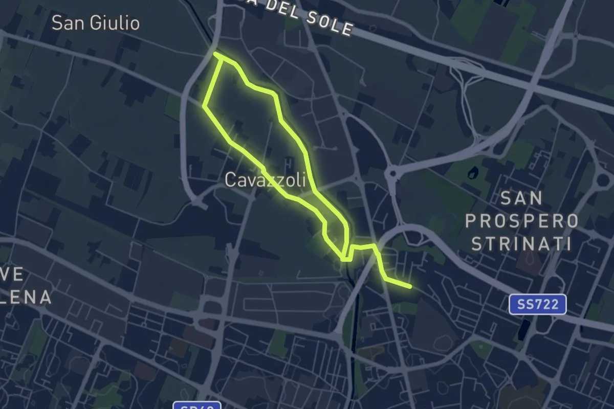
Anello di Cavazzoli
9.5 km · ↑ 17 m · 2 h 17 min · 2 km away
Easy · Trail
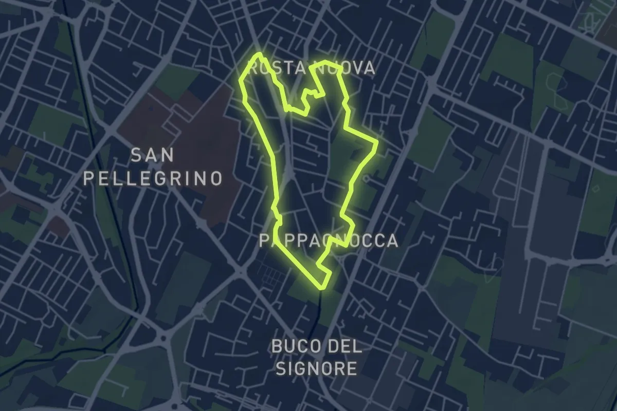
Anello Rosta Nuova
4.3 km · ↑ 4 m · 1 h 4 min · 2 km away
Easy · Trail
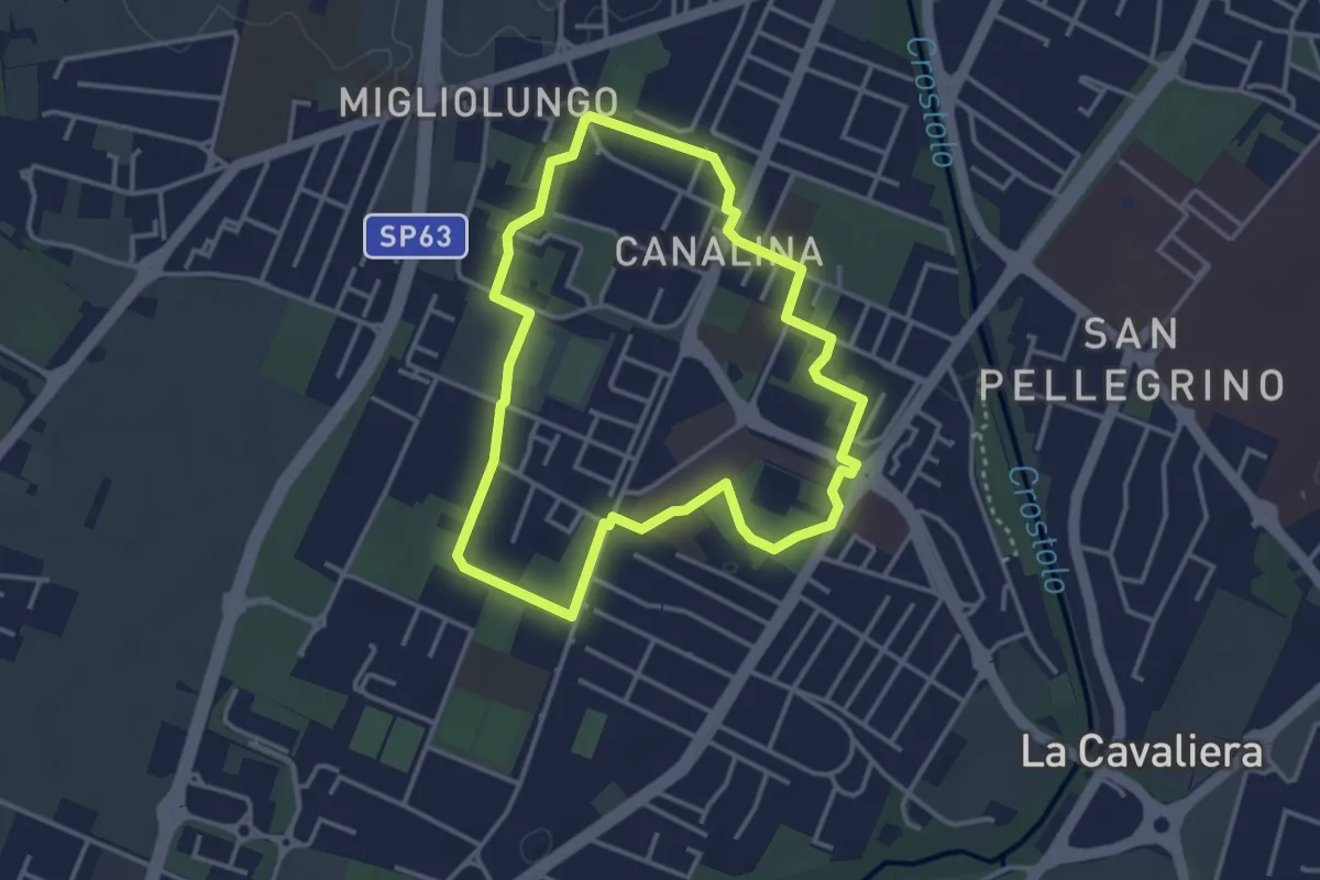
Anello Canalina 1
3.5 km · ↑ 9 m · 53 min · 2 km away
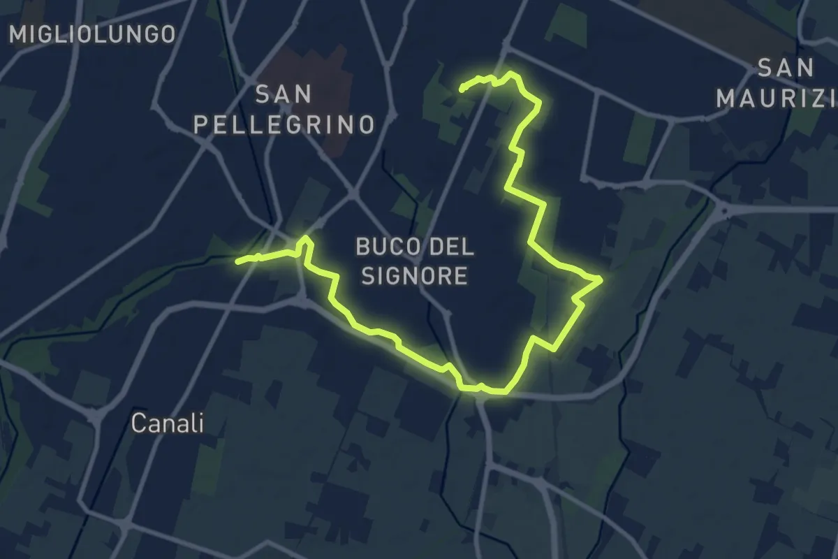
Medium · Trail
Percorso 646J località Pozzo – Percorso 646R Parco Noce Nero
13.0 km · ↑ 27 m · 3 h 8 min · 3 km away
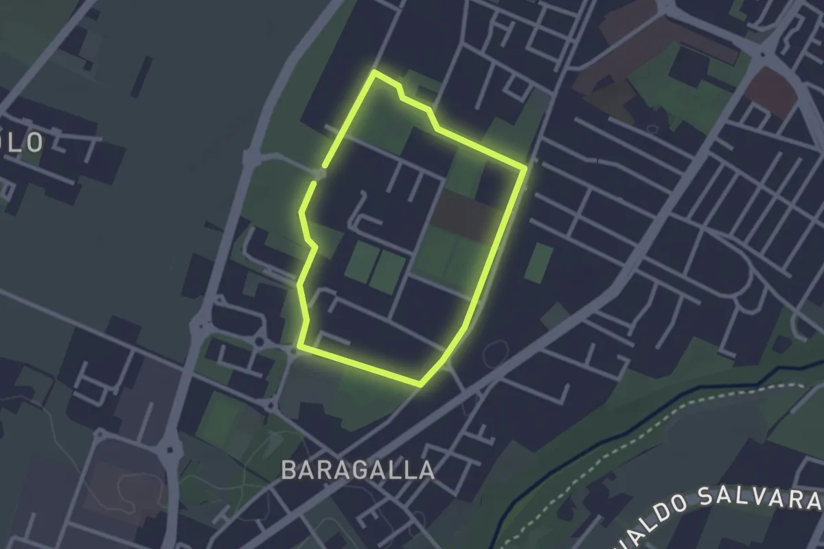
Easy · Trail
Anello Canalina 2
2.1 km · ↑ 4 m · 32 min · 3 km away
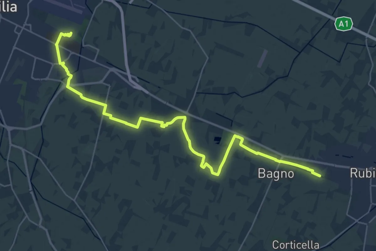
Demanding · Trail
Sentiero Reggio Emilia-Rubiera
27.7 km · ↑ 21 m · 6 h 35 min · 3 km away
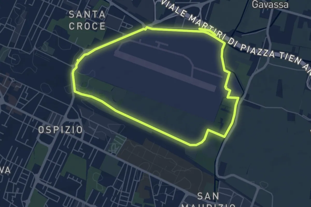
Medium · Trail
Anello del Campovolo
11.3 km · ↑ 18 m · 2 h 43 min · 3 km away
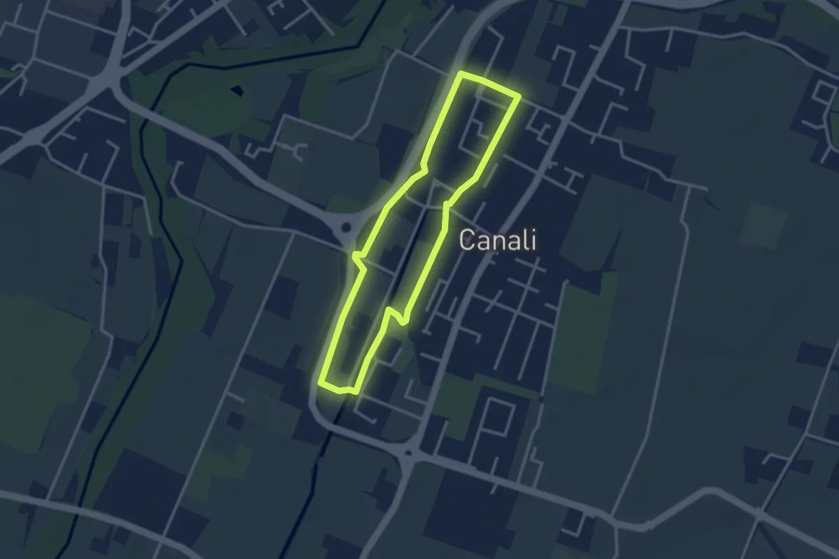
Easy · Trail
Anello Canali 2
2.7 km · ↑ 9 m · 42 min · 3 km away
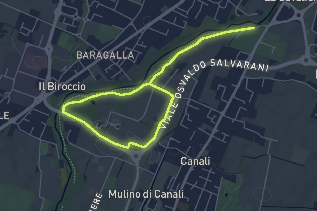
Easy · Trail
Anello Canali 1
6.8 km · ↑ 12 m · 1 h 38 min · 4 km away
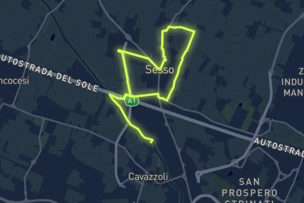
Medium · Trail
Anello di Villa Sesso
14.4 km · ↑ 12 m · 3 h 25 min · 4 km away
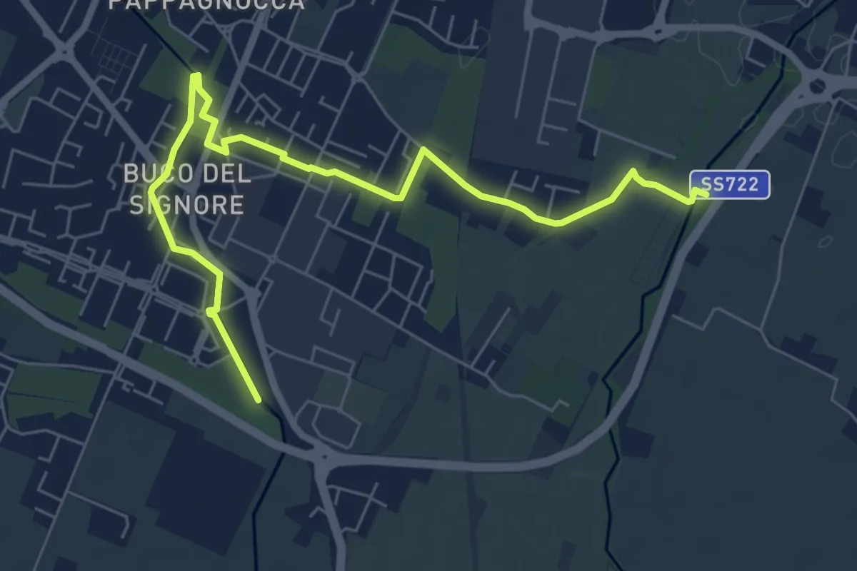
Easy · Trail
Parco del Rodano – Bosco Dario Fo
7.5 km · ↑ 8 m · 1 h 48 min · 4 km away
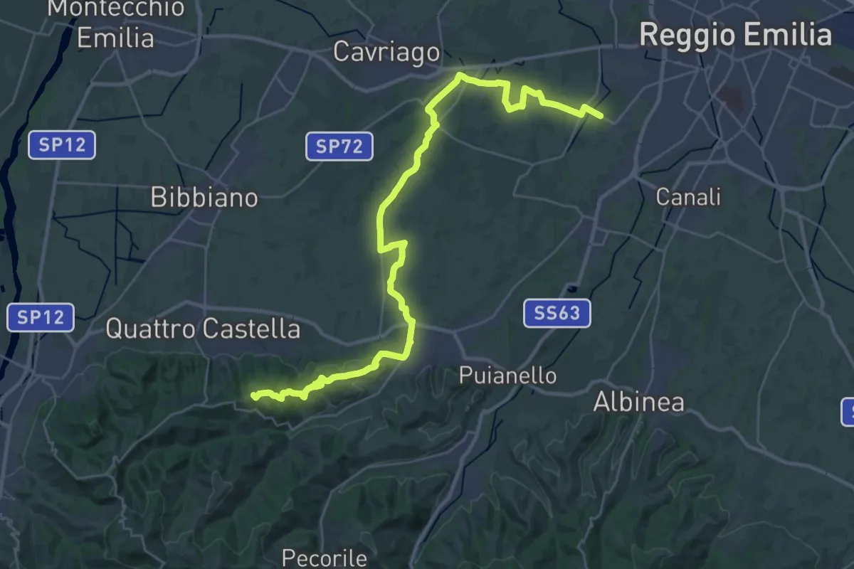
Demanding · Summit
Strada della Biodiversità
36.4 km · ↑ 424 m · 9 h 30 min · 4 km away
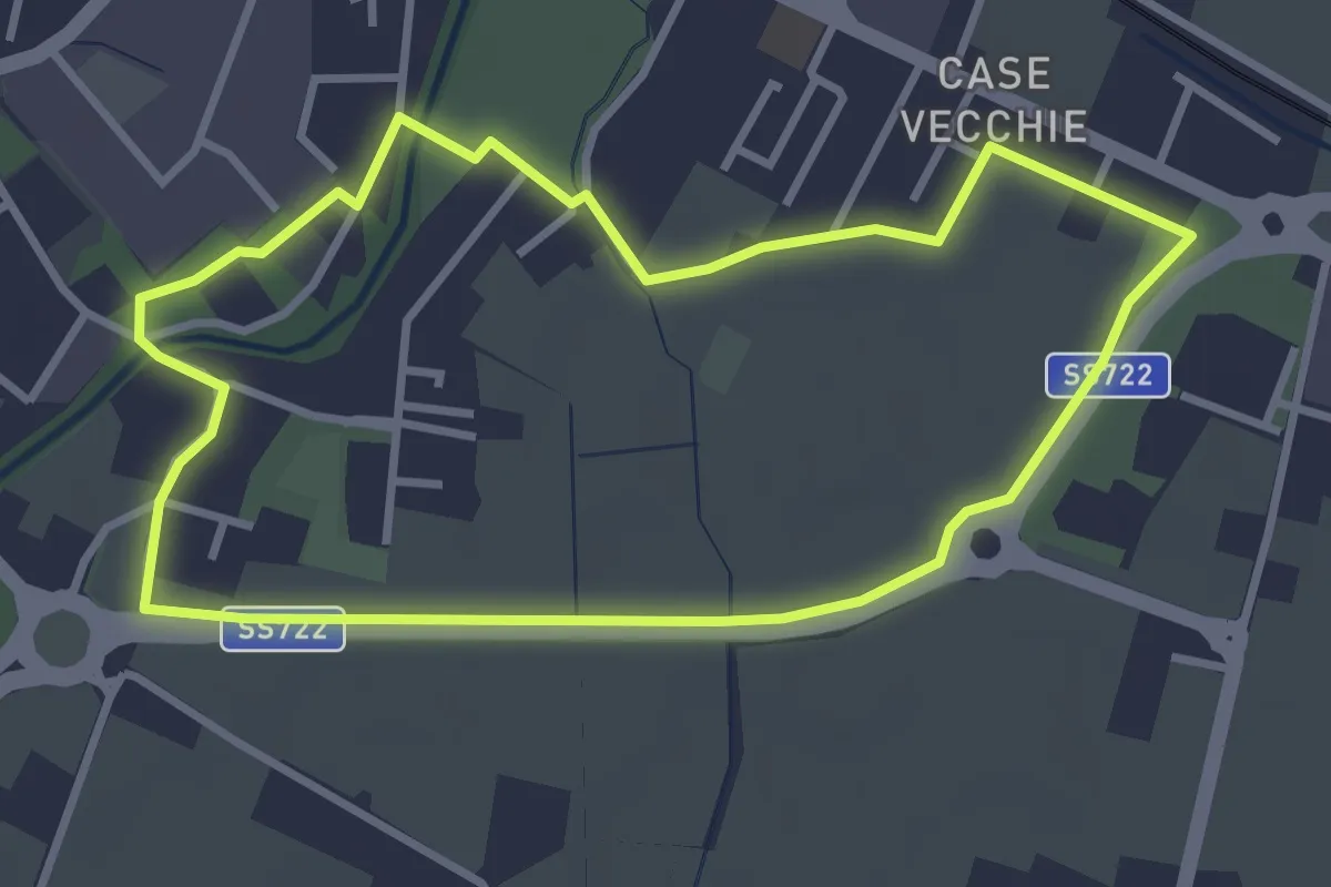
Easy · Trail
Anello del Mauriziano
3.3 km · ↑ 0 m · 50 min · 4 km away
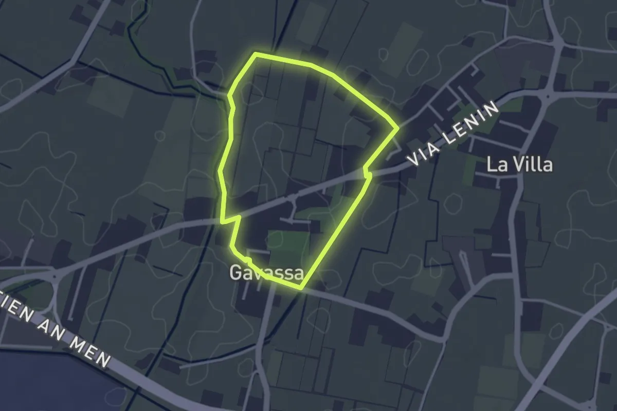
Easy · Trail
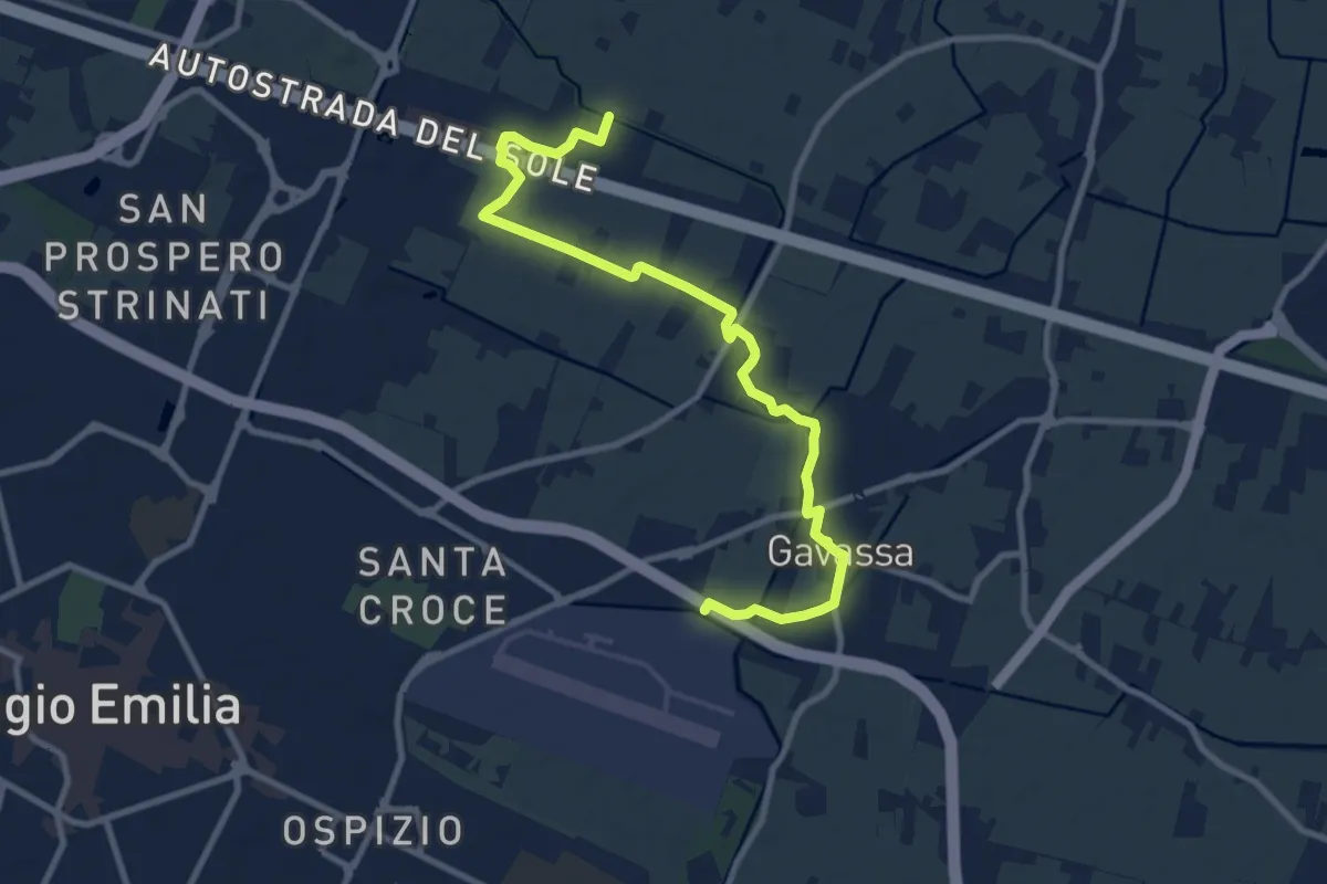
Anello di Gavassa
2.5 km · ↑ 4 m · 38 min · 4 km away
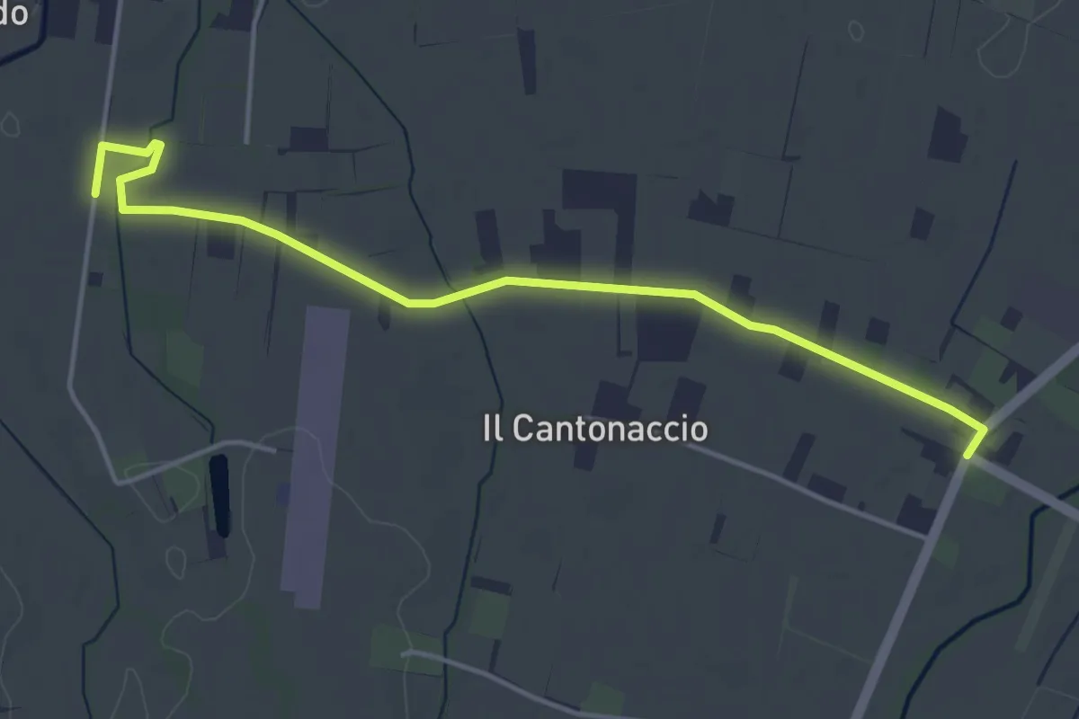
Easy · Trail
Variante Strada della Biodiversità
4.8 km · ↑ 9 m · 1 h 9 min · 4 km away
Medium · Trail
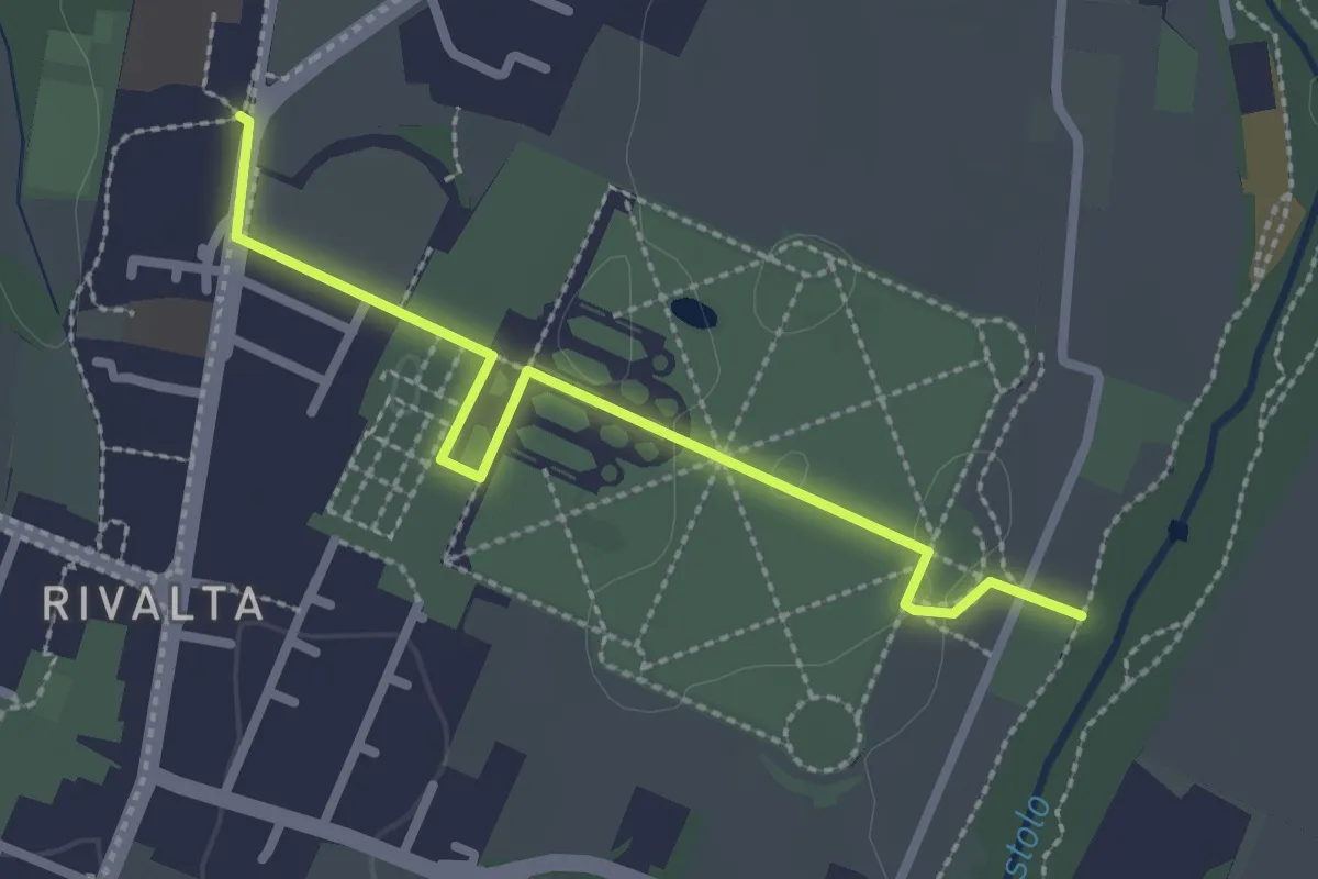
Greenway del Rodano
11.0 km · ↑ 8 m · 2 h 37 min · 4 km away
Easy · Trail
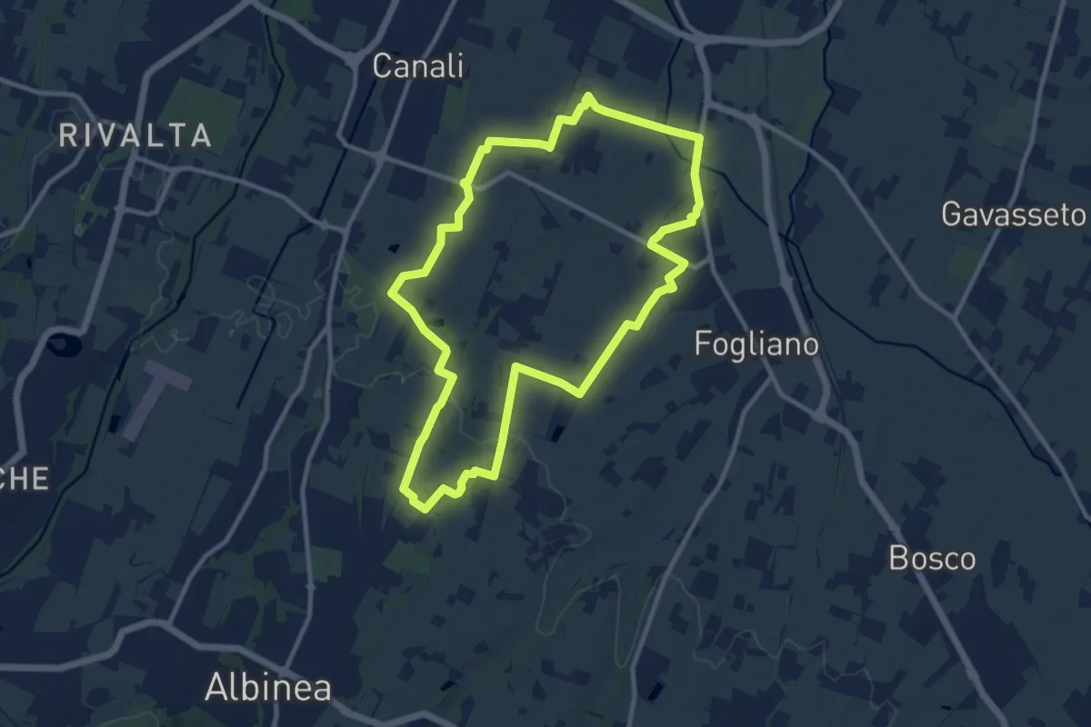
Percorso 646D (Rivalta Palazzo Ducale) – Percorso 646 Rivalta Locanda
2.7 km · ↑ 4 m · 39 min · 5 km away
Medium · Trail
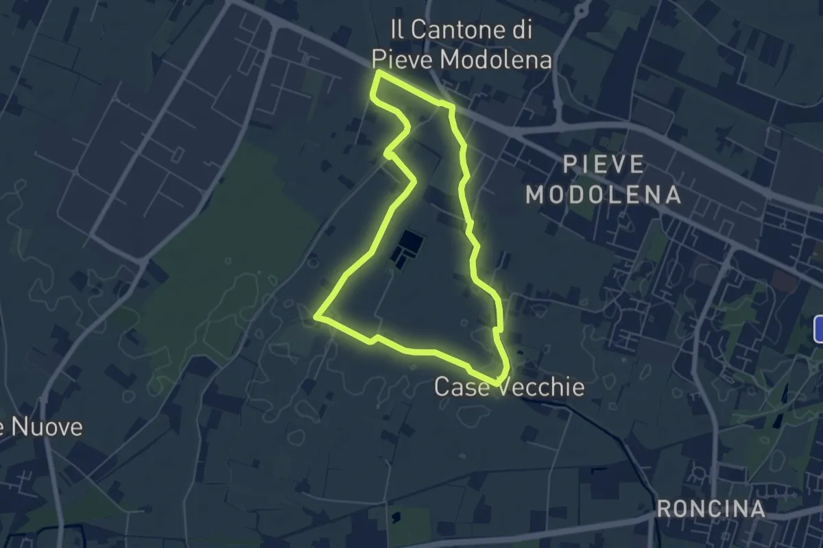
Anello di Canali-Fogliano
10.7 km · ↑ 57 m · 2 h 48 min · 5 km away
Easy · Trail
Anello delle Acque di Pieve Modolena
5.7 km · ↑ 4 m · 1 h 26 min · 5 km away
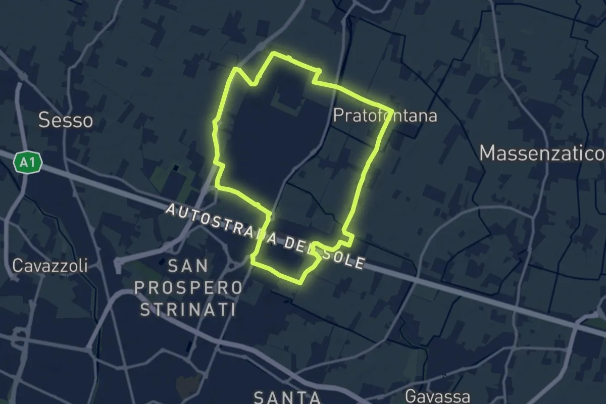
Medium · Trail
Anello di Mancasale
10.4 km · ↑ 9 m · 2 h 36 min · 6 km away
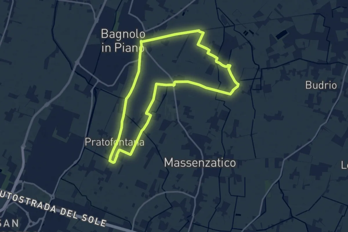
Medium · Trail
Anello Canale Ronchi e Rifugio Sgabo
12.0 km · ↑ 8 m · 3 h 2 min · 6 km away
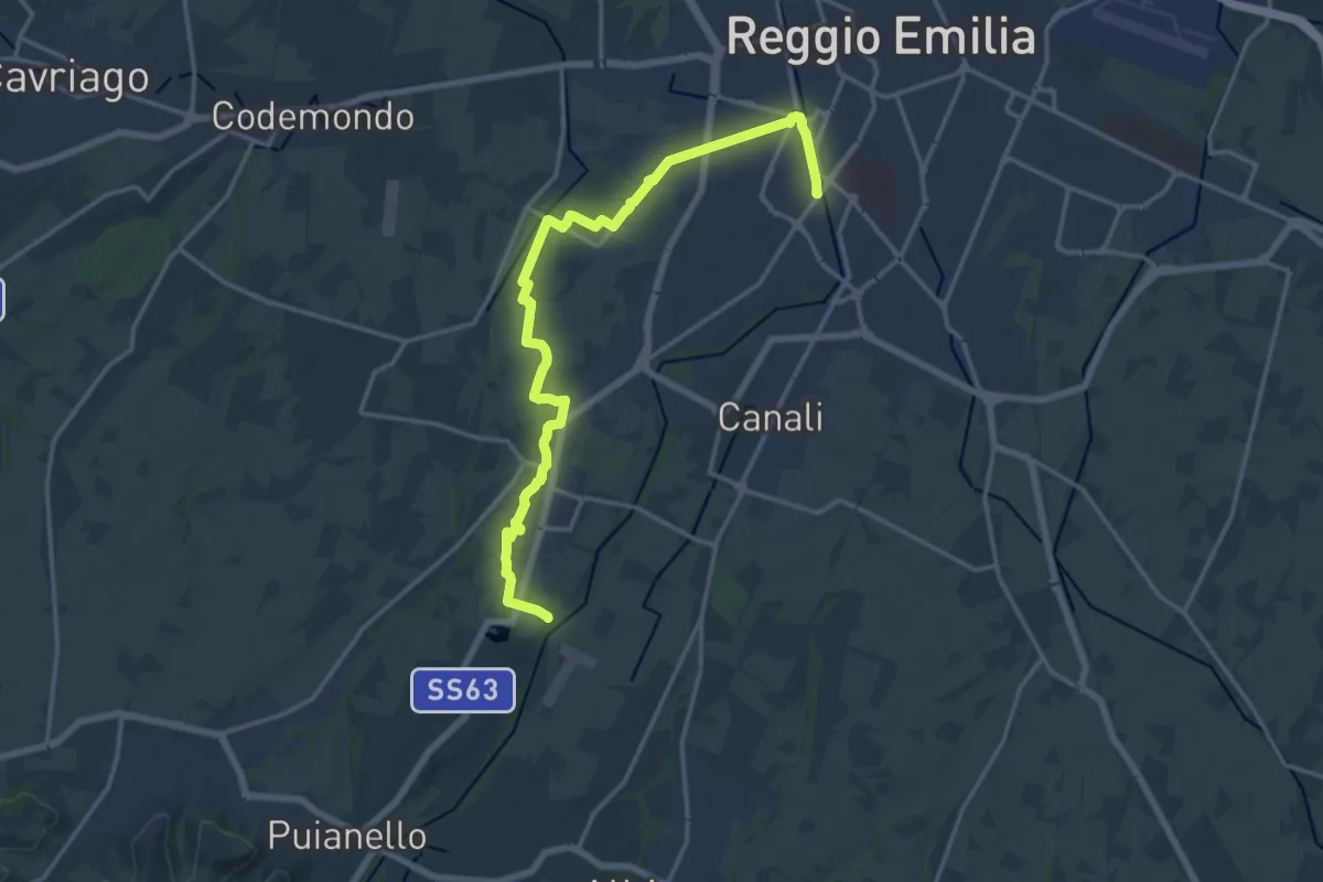
Demanding · Trail
Via delle Ville
18.7 km · ↑ 59 m · 4 h 33 min · 7 km away
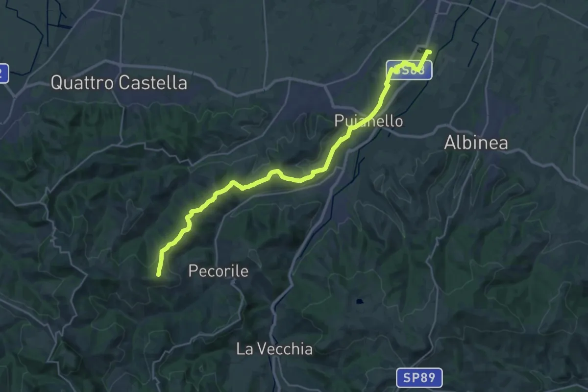
Demanding · Summit
Vasca Corbelli – Monte Pentile
24.6 km · ↑ 497 m · 6 h 54 min · 7 km away
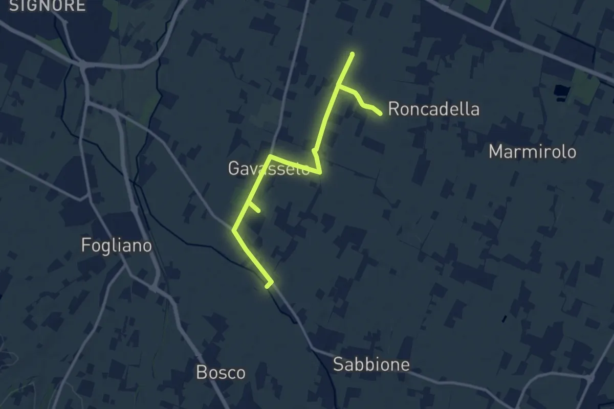
Medium · Trail
Diramazione di Gavasseto
12.1 km · ↑ 13 m · 2 h 53 min · 7 km away
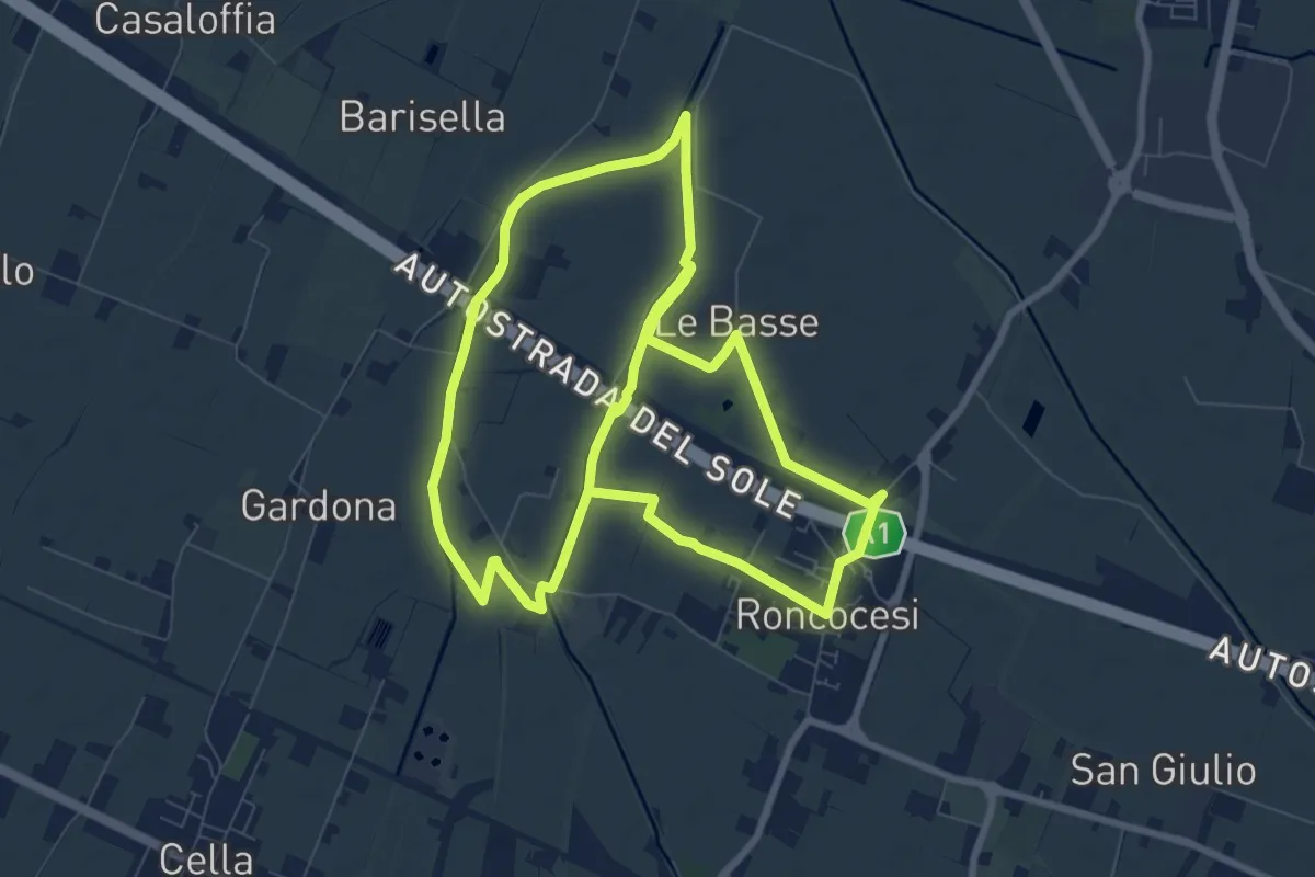
Medium · Trail
Anello di Roncocesi
17.9 km · ↑ 8 m · 4 h 14 min · 7 km away
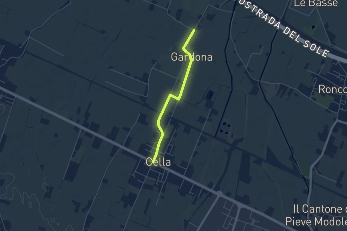
Easy · Trail
Gallana Grande – Cella
4.4 km · ↑ 8 m · 1 h 3 min · 8 km away
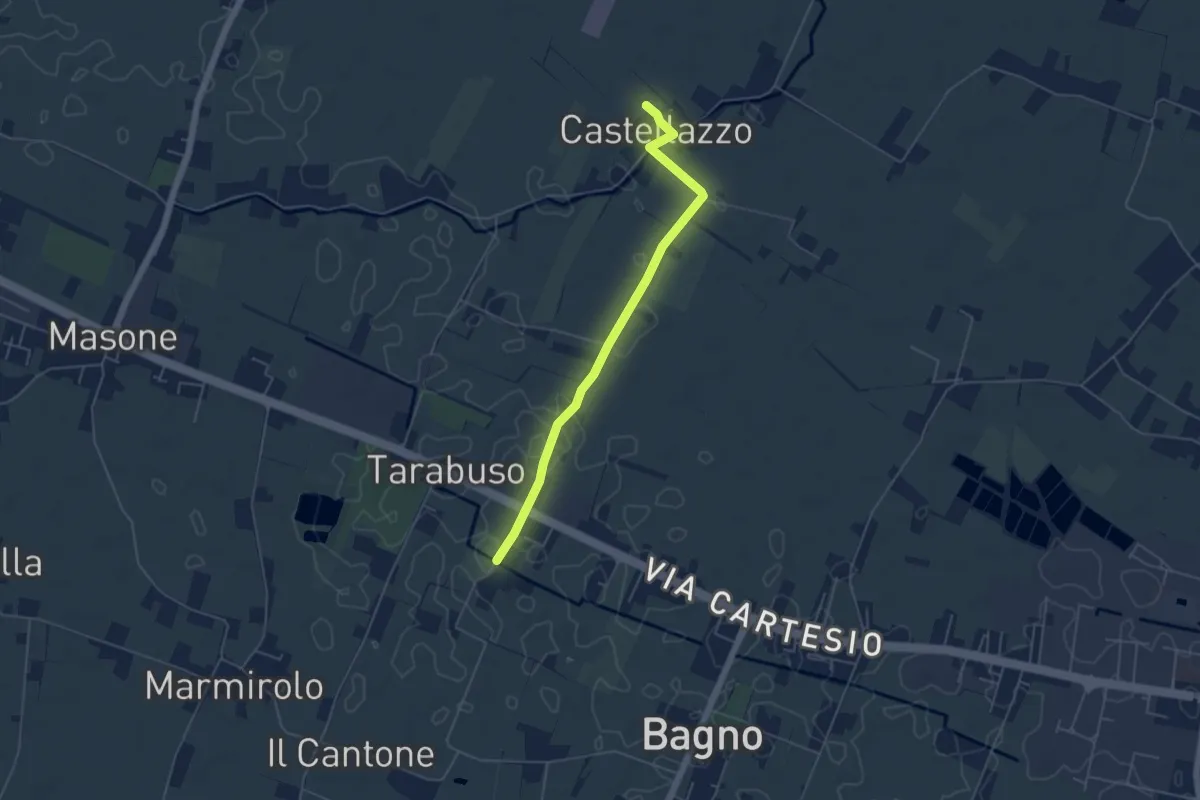
Easy · Trail
Diramazione di Castellazzo
5.1 km · ↑ 4 m · 1 h 13 min · 9 km away
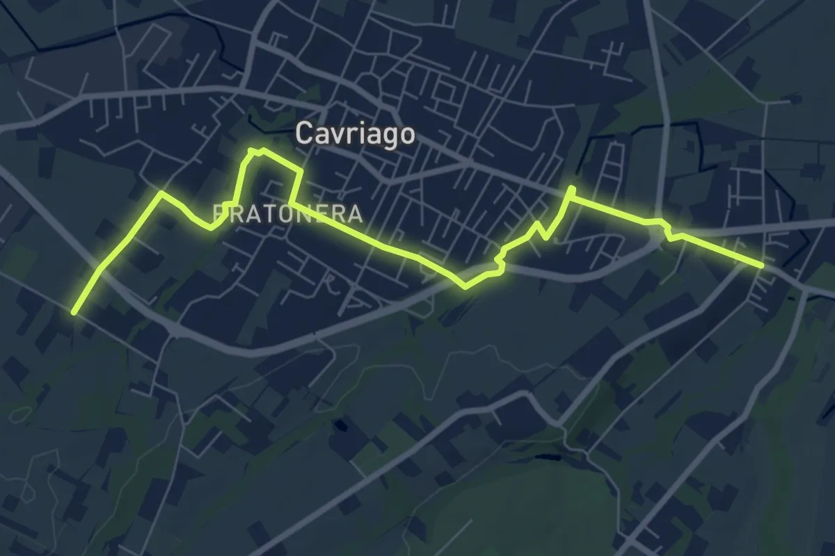
Medium · Trail
Quaresimo – Chiesa San Giovanni
8.4 km · ↑ 49 m · 2 h 5 min · 9 km away
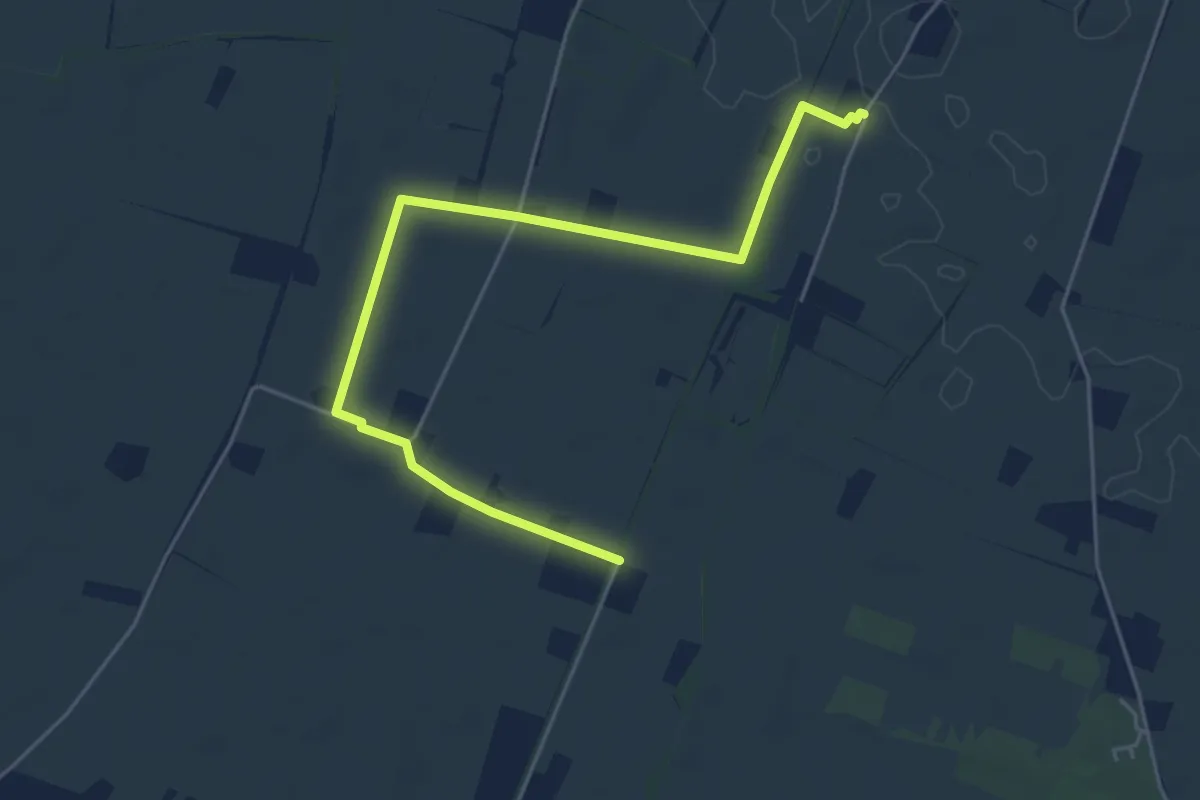
Easy · Trail
Località Il Castello – Bivio Via Villa Chiara 620C
5.8 km · ↑ 8 m · 1 h 24 min · 10 km away
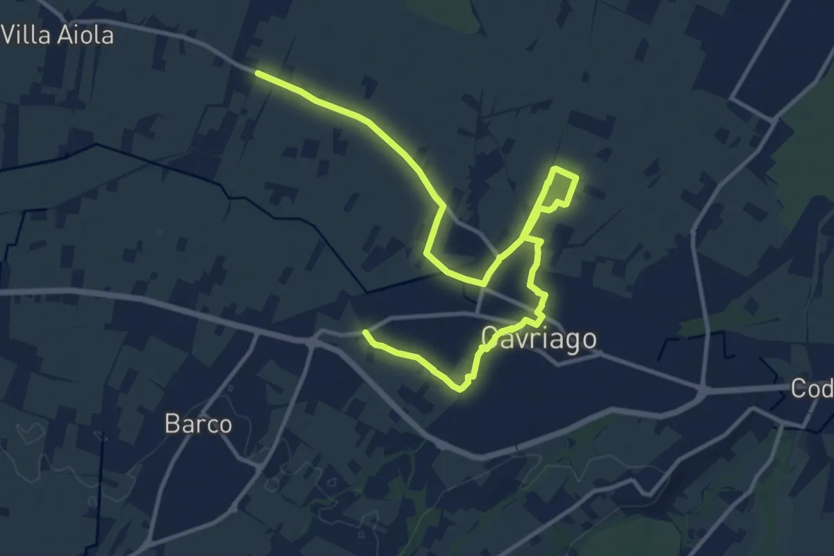
Medium · Trail
Paverazzi – Strada Barboiara
15.0 km · ↑ 53 m · 3 h 39 min · 10 km away
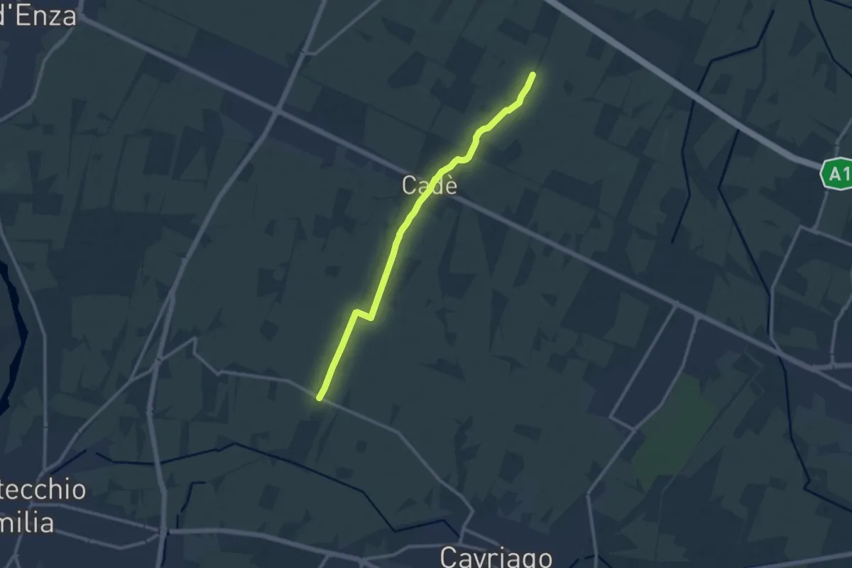
Medium · Trail
Reggiolo-Paverazzi
10.9 km · ↑ 34 m · 2 h 40 min · 11 km away
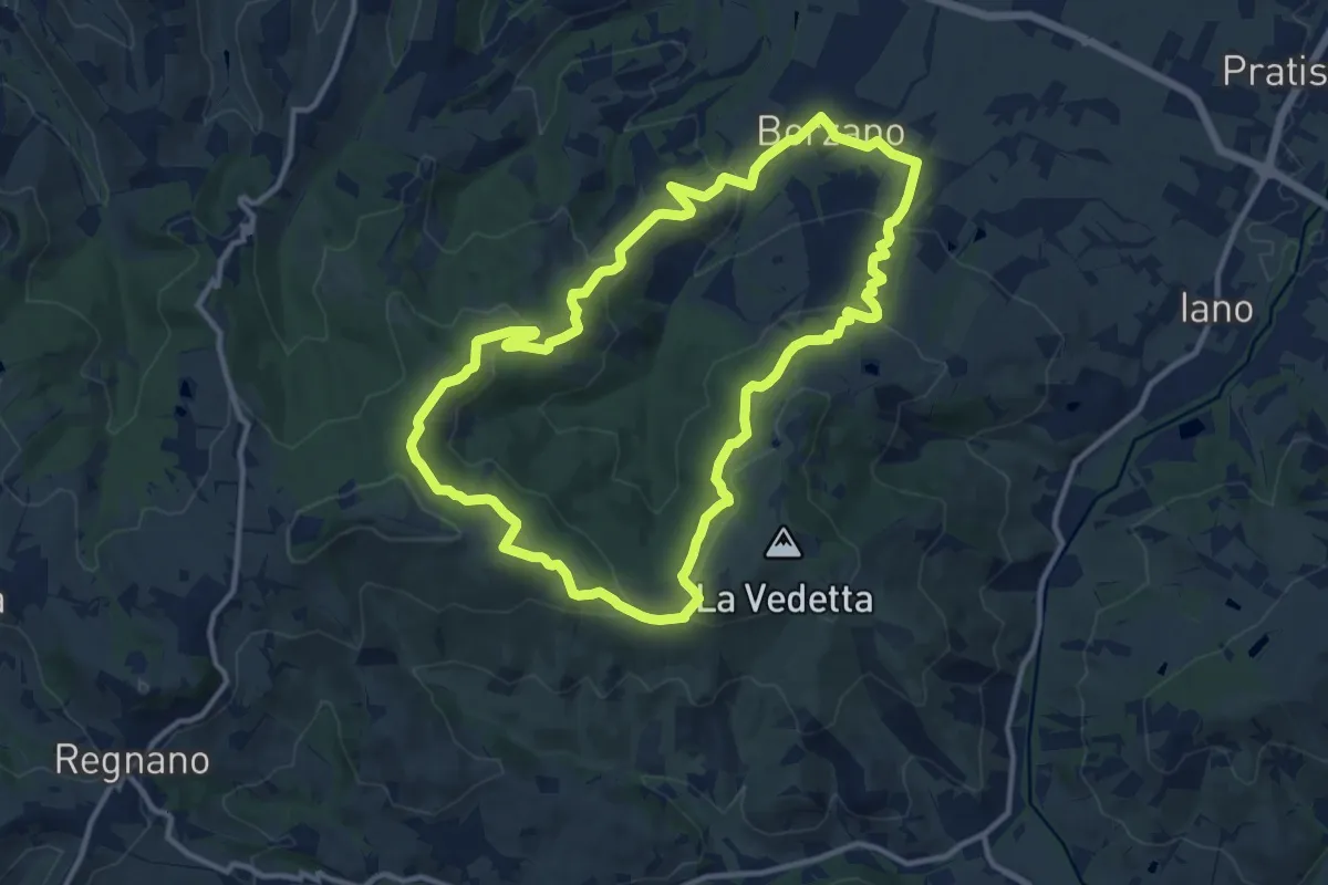
Medium · Summit
Anello di ca' del Vento
12.3 km · ↑ 379 m · 3 h 54 min · 11 km away
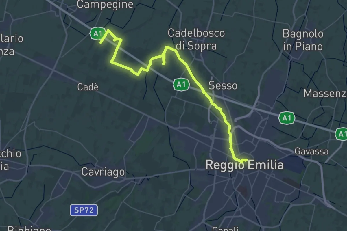
Demanding · Trail
Reggio Emilia – Valle Re
18.2 km · ↑ 33 m · 4 h 37 min · 11 km away
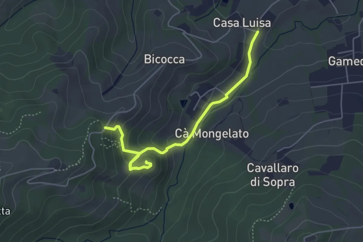
Easy · Trail
Bivio via Franchetti/via Chierici – Ca' del Monte
4.8 km · ↑ 194 m · 1 h 34 min · 11 km away
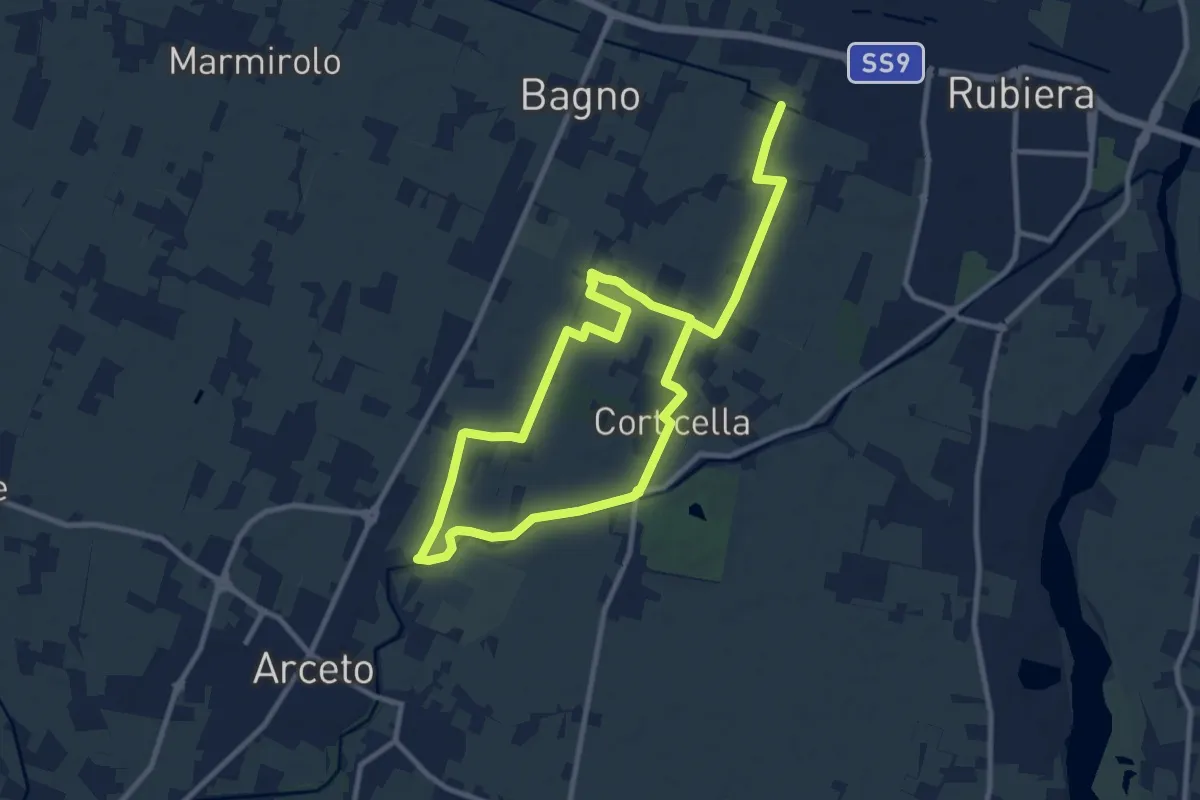
Medium · Trail
Anello di Corticella
17.5 km · ↑ 21 m · 4 h 11 min · 12 km away
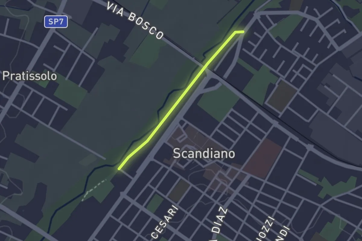
Easy · Trail
Sentiero Lazzaro Spallanzani tappa 1 variante
2.0 km · ↑ 4 m · 29 min · 12 km away
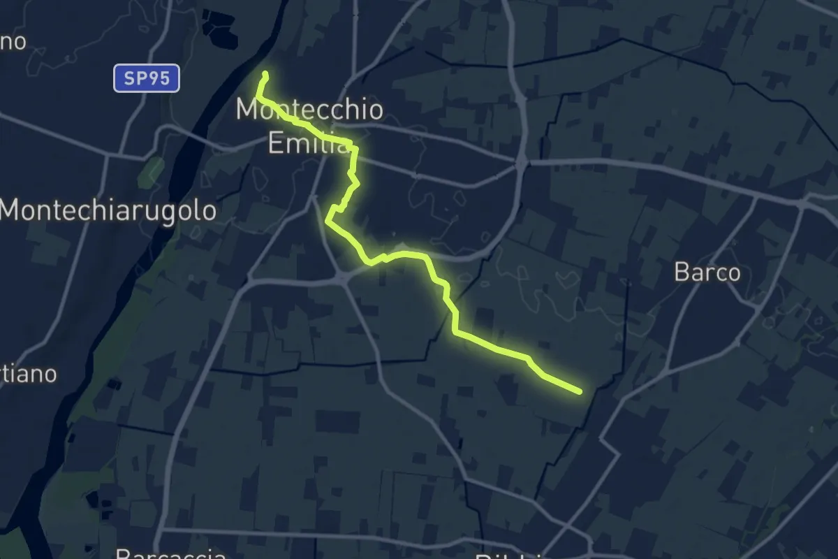
Medium · Trail
Fossa Barco – Percorso 672
10.9 km · ↑ 21 m · 2 h 37 min · 12 km away
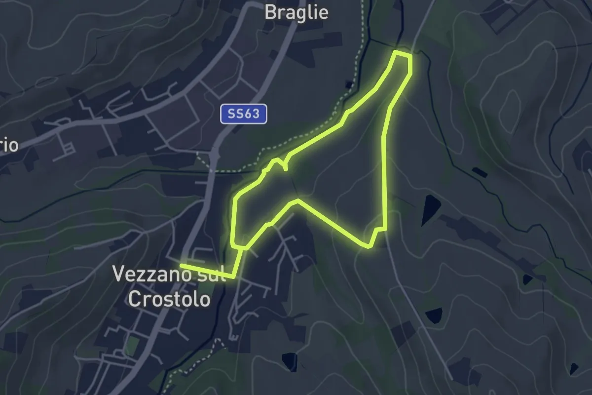
Easy · Trail
Anello Casone di sotto
3.4 km · ↑ 52 m · 58 min · 12 km away
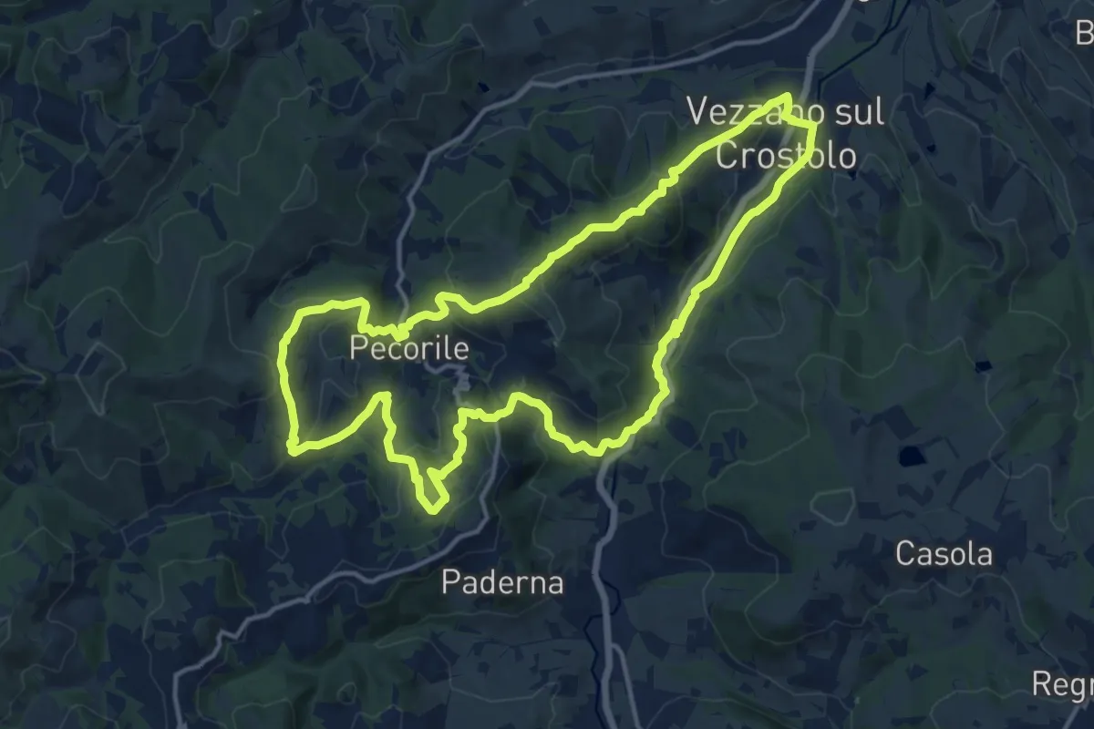
Medium · Summit
Vezzano sul Crostolo – Vezzano sul Crostolo
15.5 km · ↑ 616 m · 5 h 12 min · 12 km away