Trails near Reggio Emilia
65 hikes starting within 15 km, nearest first.
Nearest first, page 2 of 2
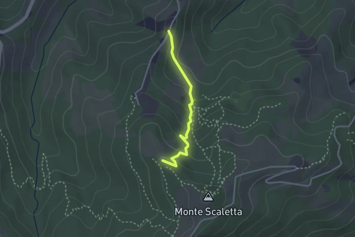
Easy · Trail
Fra Track
2.3 km · ↑ 123 m · 49 min · 12 km away
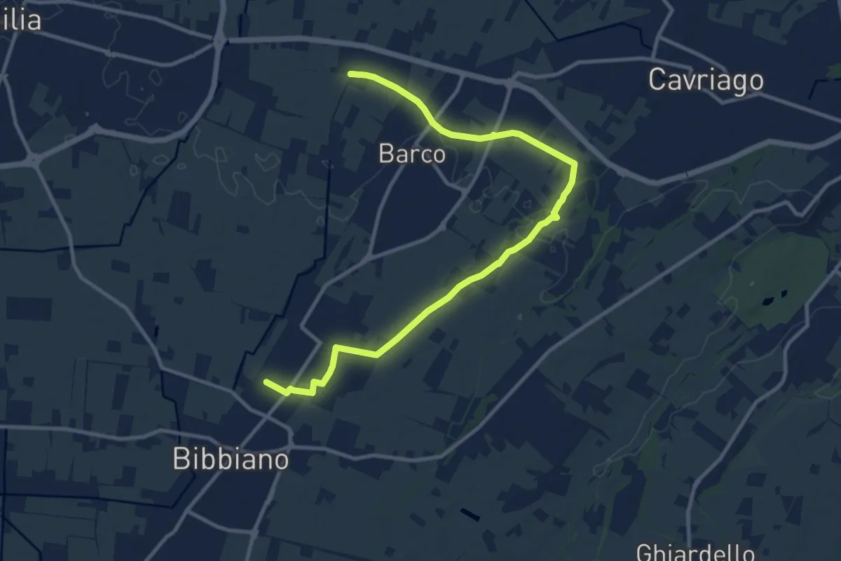
Medium · Trail
Bibbiano – Sentiero 640A
12.6 km · ↑ 42 m · 3 h 4 min · 13 km away
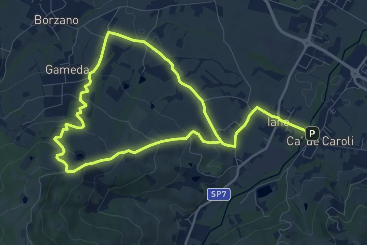
Easy · Trail
Cà de Caroli – Cà de Caroli
7.6 km · ↑ 275 m · 2 h 29 min · 13 km away
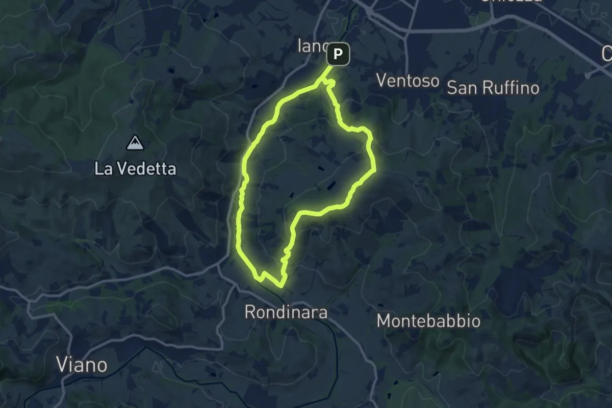
Medium · Summit
Ca' de Caroli – Ca' de Caroli
9.9 km · ↑ 296 m · 3 h 7 min · 13 km away
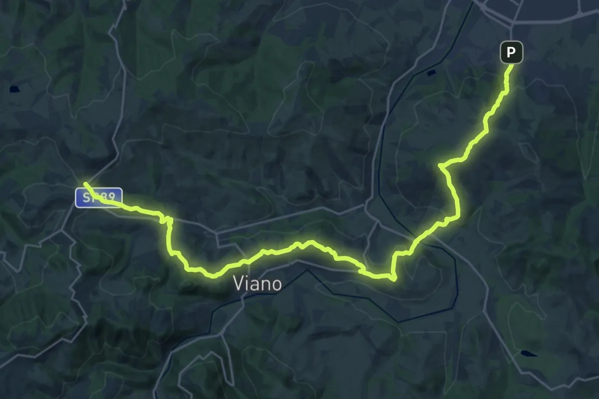
Medium · Trail
Sentiero Lazzaro Spallanzani - Tappa 2
14.9 km · ↑ 718 m · 5 h 9 min · 13 km away
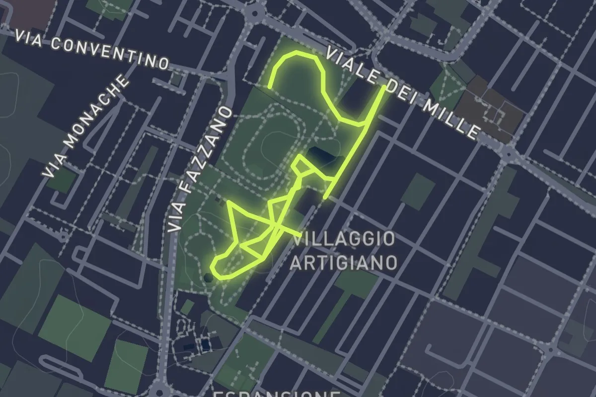
Easy · Trail
Percorso della salute
4.2 km · ↑ 0 m · 59 min · 14 km away
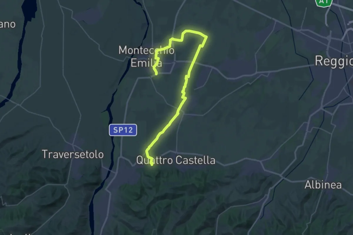
Medium · Trail
Monastero di Montefalcone – Montecchio
17.9 km · ↑ 119 m · 4 h 41 min · 14 km away
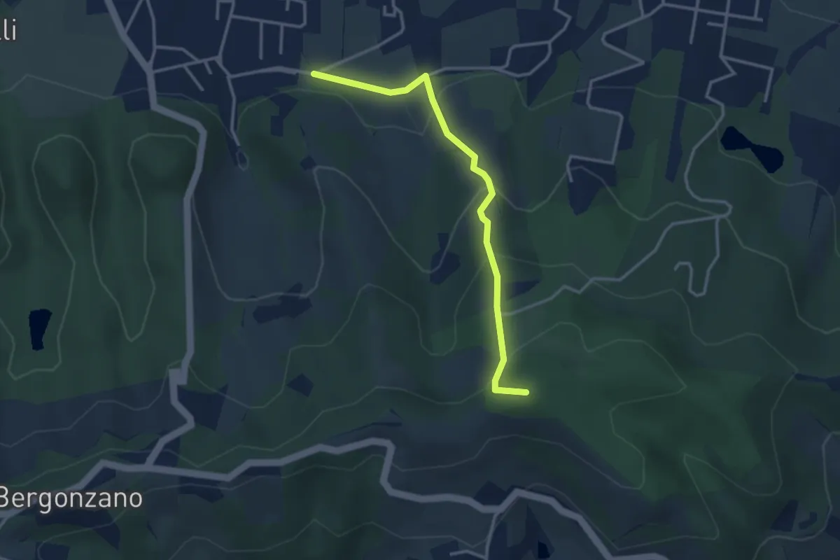
Easy · Summit
Quattro Castella – Sella Monte Biliano
3.3 km · ↑ 196 m · 1 h 12 min · 14 km away
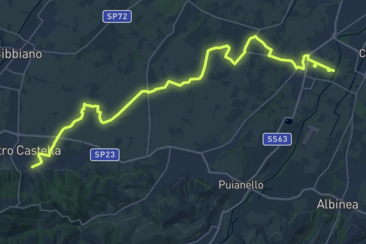
Demanding · Trail
Sentiero dei Ducati Variante Bassa Pianura
31.4 km · ↑ 175 m · 7 h 47 min · 14 km away
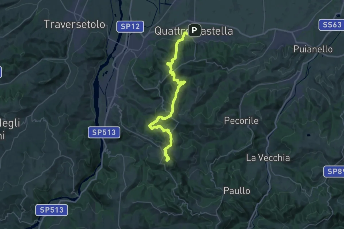
Demanding · Summit
Sentiero Partigiani 1 - sentiero della scelta
27.8 km · ↑ 1313 m · 9 h 24 min · 14 km away
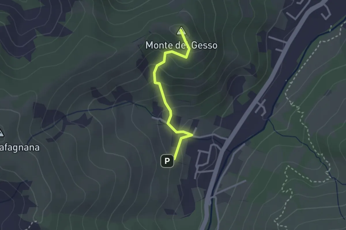
Easy · Summit
Percorso 646 – Monte del Gesso
2.3 km · ↑ 167 m · 54 min · 14 km away
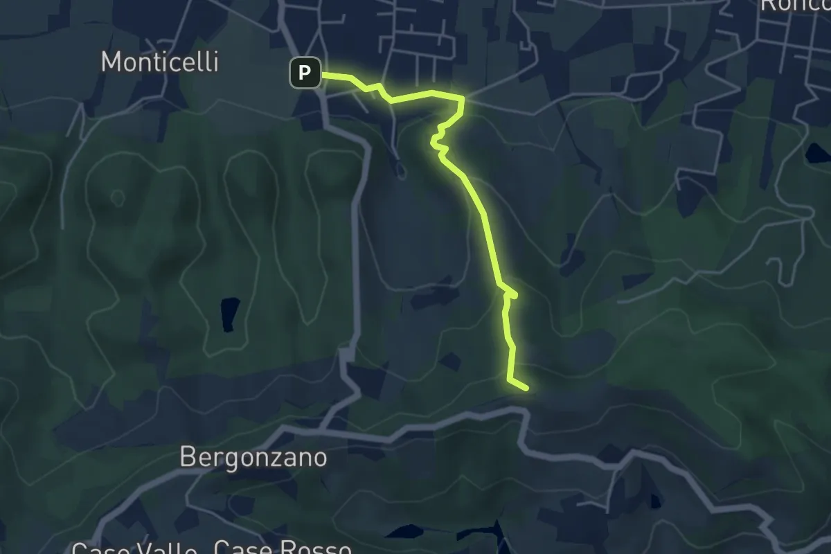
Easy · Summit
Quattro Castella – Monte Airone
4.1 km · ↑ 187 m · 1 h 22 min · 15 km away
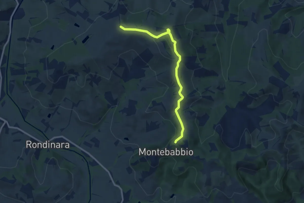
Easy · Trail
Montebabbio – Sentiero Spallanzani
7.0 km · ↑ 166 m · 2 h · 15 km away
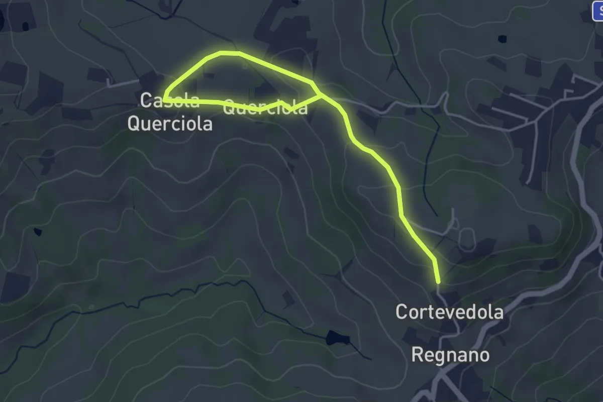
Easy · Trail
Salsa di Casola – Percorso 616
4.9 km · ↑ 108 m · 1 h 23 min · 15 km away
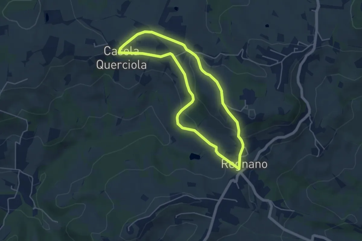
Easy · Trail
Regnano – Casola querciola – Regnano
4.2 km · ↑ 116 m · 1 h 18 min · 15 km away
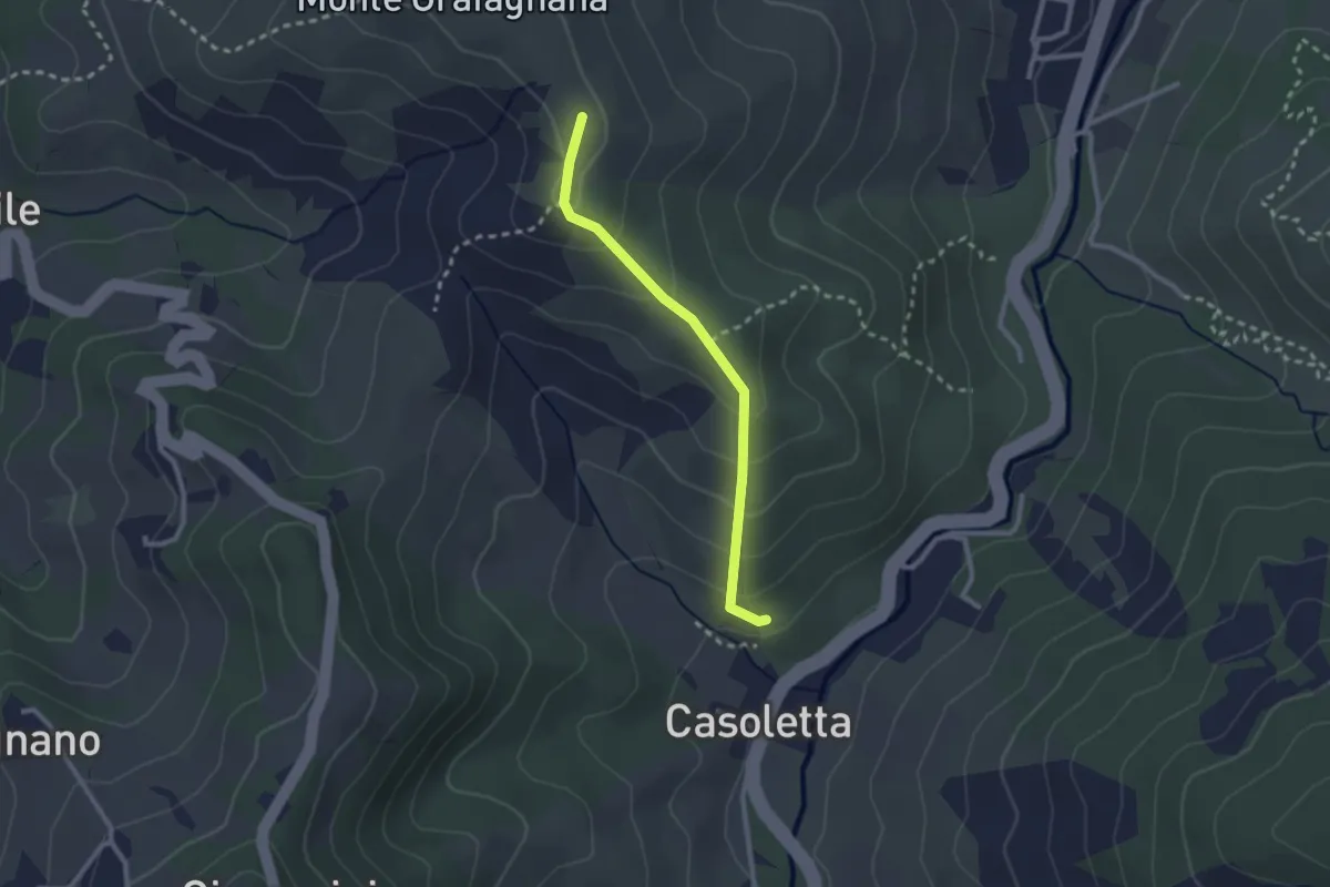
Easy · Trail
Percorso 646 – Percorso 644
2.4 km · ↑ 154 m · 53 min · 15 km away
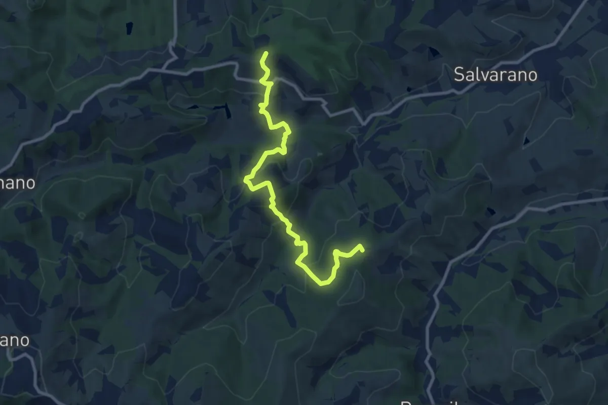
Easy · Summit
Monte Biliano – incrocio 646A
4.8 km · ↑ 282 m · 1 h 49 min · 15 km away