Trails near Riva del Garda
199 hikes starting within 15 km, nearest first.
Nearest first, page 1 of 5
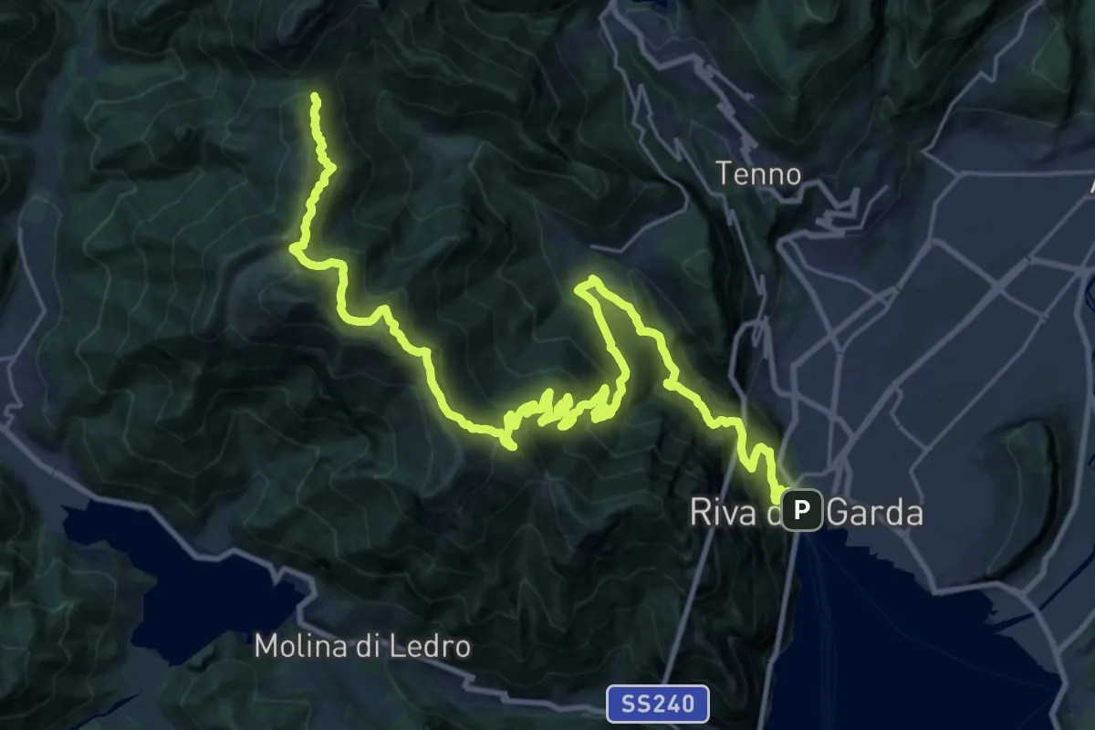
Demanding · Cabin
Sentiero della Pace - Tappa 6
17.7 km · ↑ 2192 m · 8 h 25 min · under 1 km away
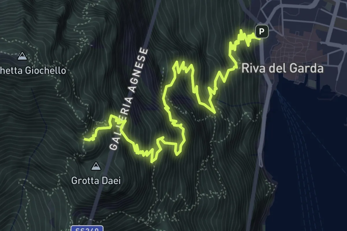
Expert · Trail
Via ferrata del Bastione e della Rocchetta
9.7 km · ↑ 1566 m · 5 h 41 min · under 1 km away
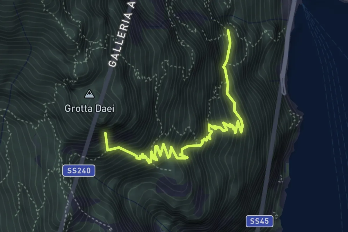
Expert · Summit
Via ferrata "Fausto Susatti"
5.2 km · ↑ 918 m · 3 h 13 min · 1 km away
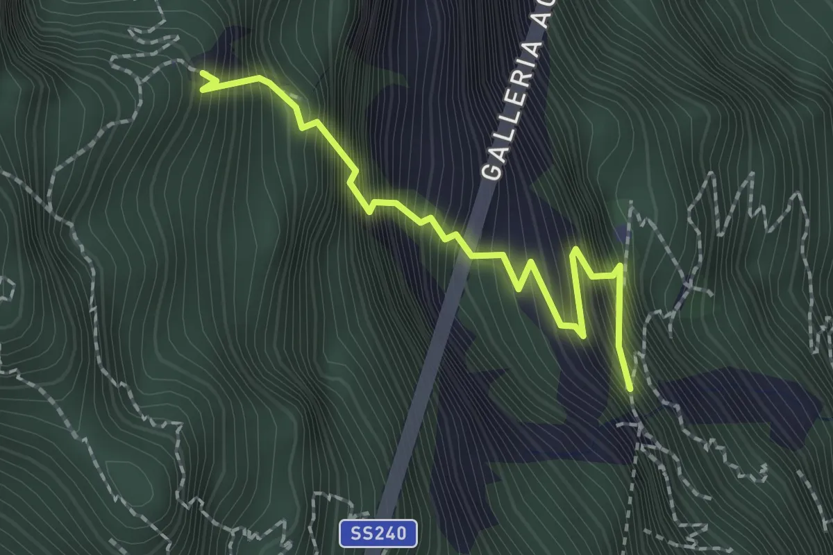
Expert · Summit
Via ferrata dell'Amicizia
2.0 km · ↑ 581 m · 1 h 45 min · 1 km away
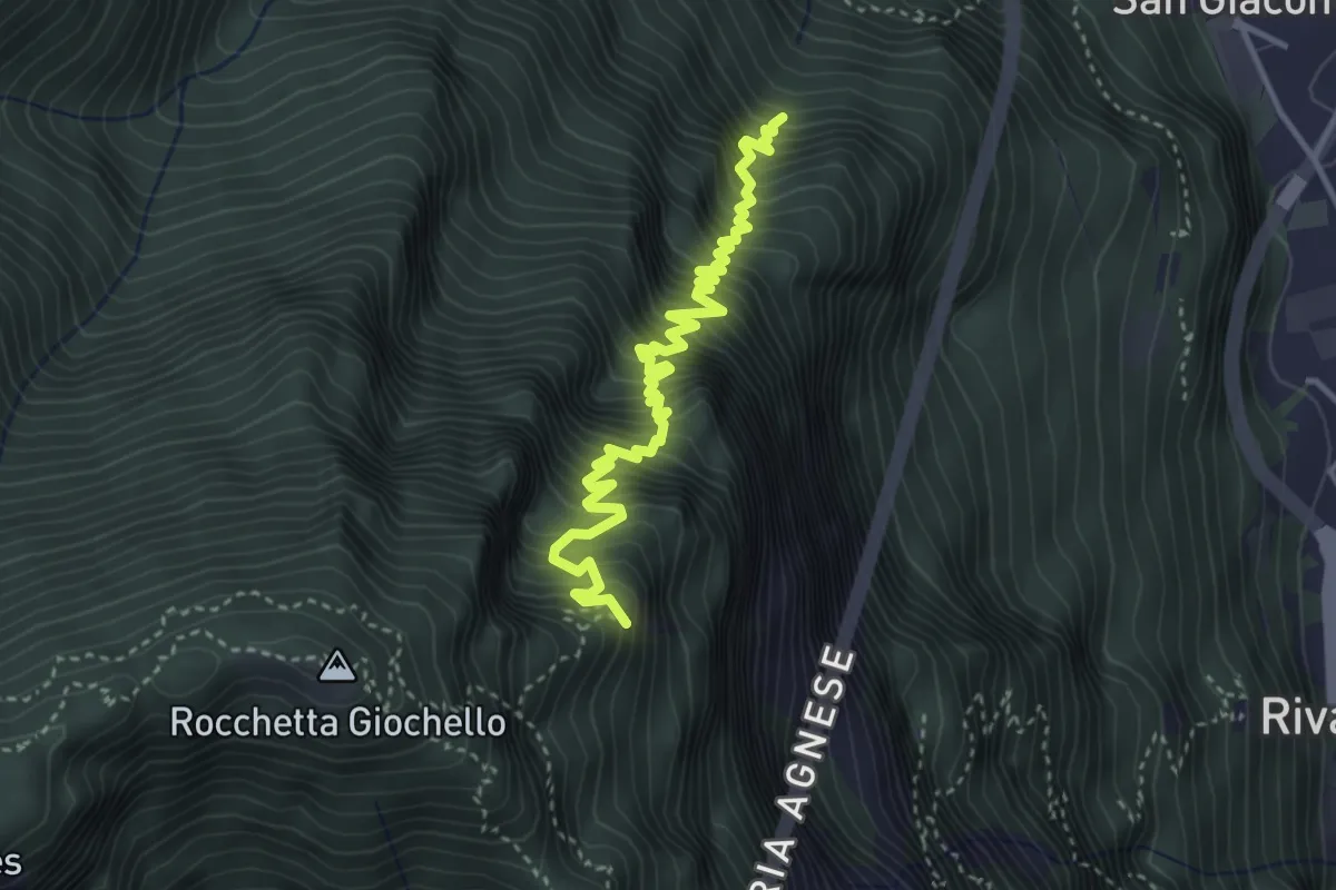
Demanding · Summit
Sentér dei Crazidei
4.1 km · ↑ 809 m · 2 h 44 min · 1 km away
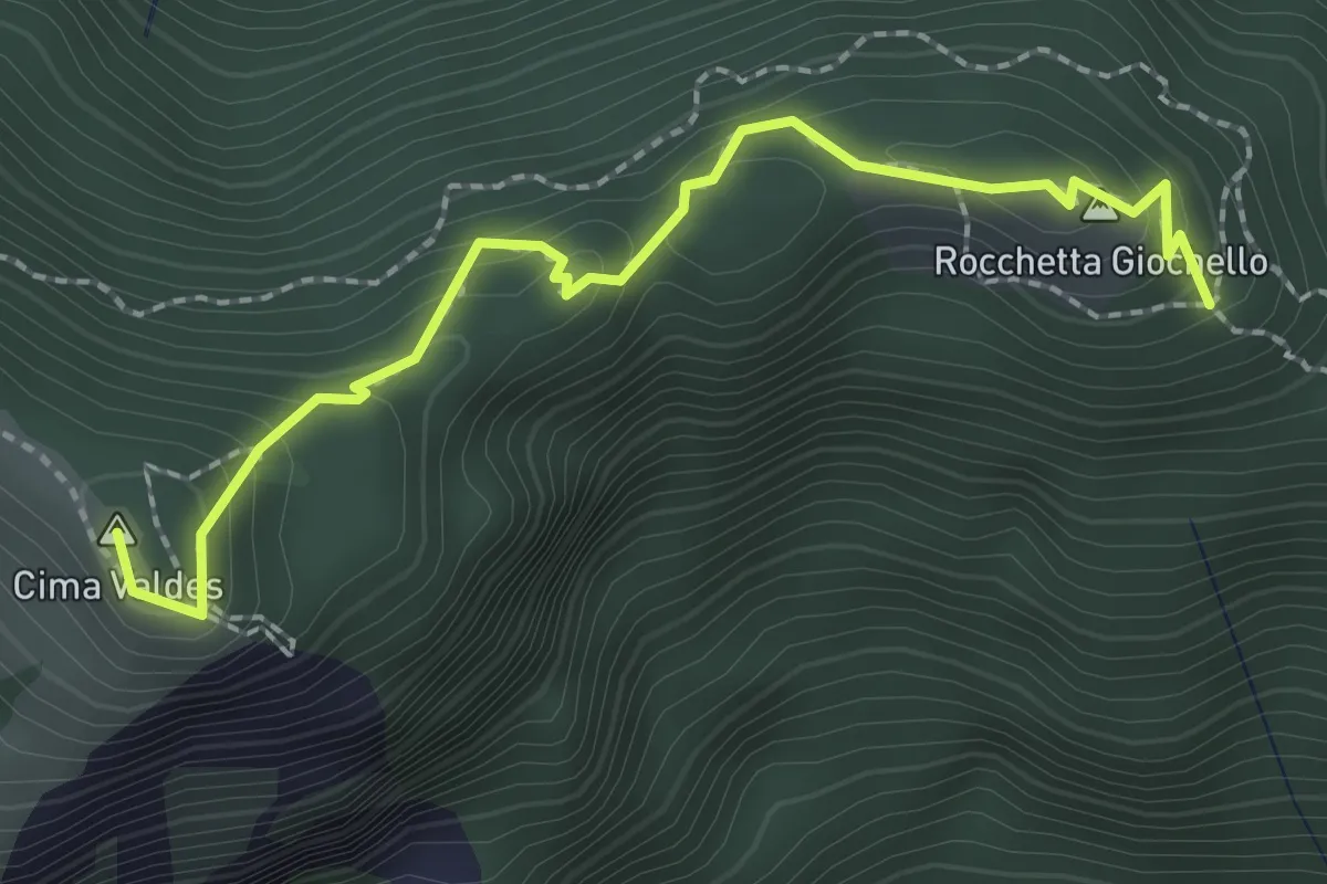
Demanding · Summit
Sentiero Attrezzato "Rino Zanotti"
2.4 km · ↑ 232 m · 1 h 4 min · 2 km away
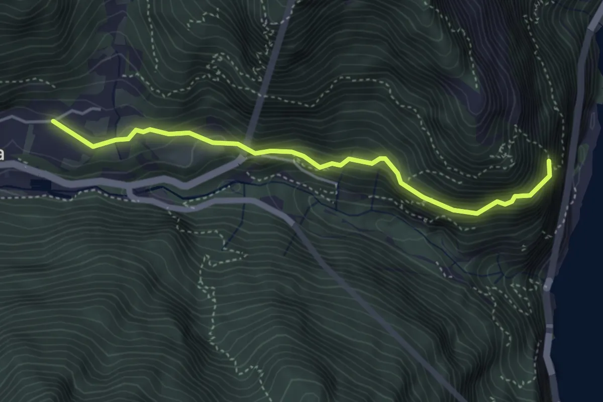
Medium · Trail
Sentiero del Defensionmaurer - "Alessandro Lutteri"
4.2 km · ↑ 366 m · 1 h 47 min · 2 km away
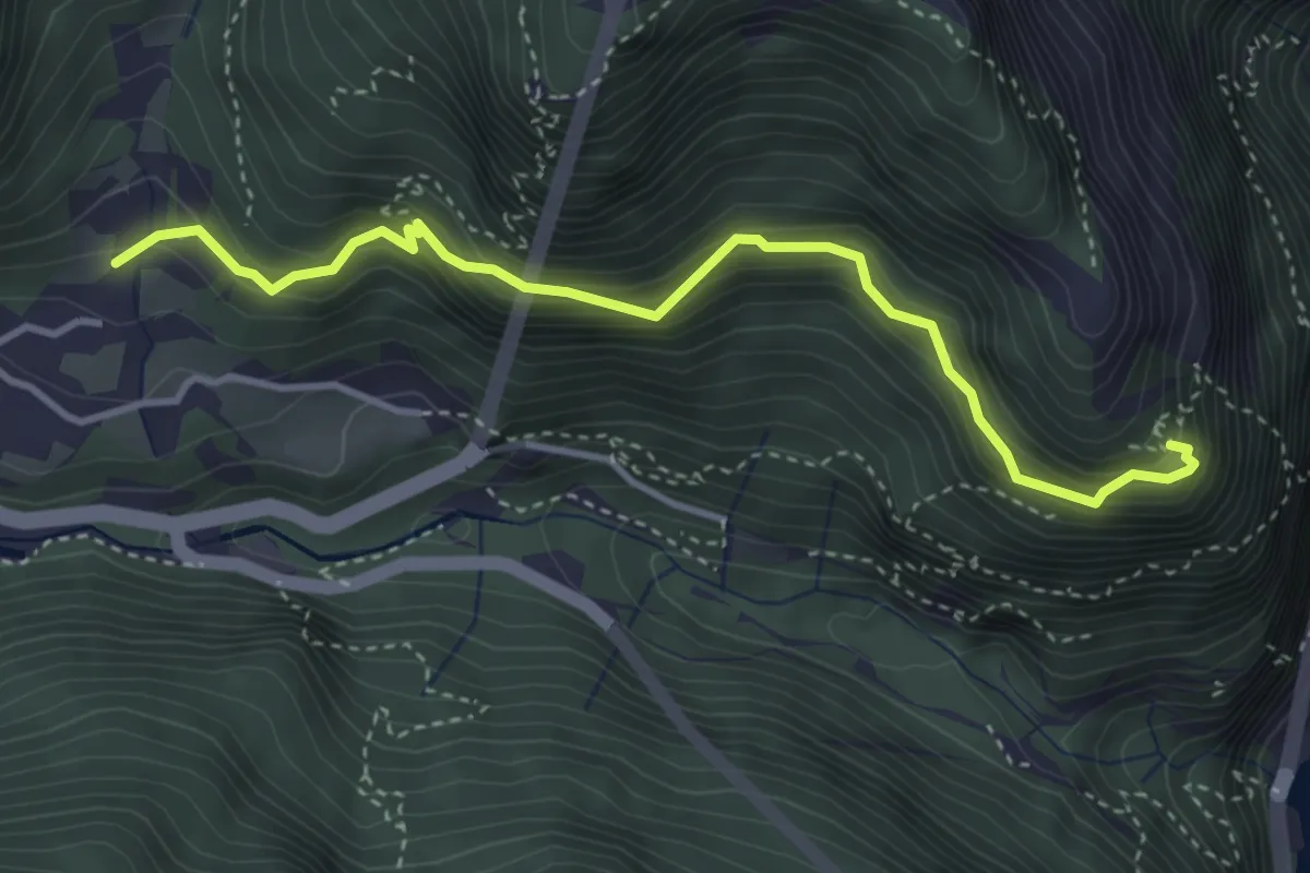
Medium · Trail
Sentér dei Bech
3.9 km · ↑ 553 m · 2 h 7 min · 2 km away
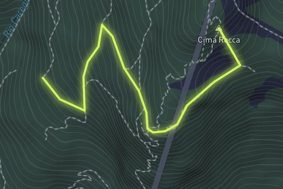
Expert · Summit
Via ferrata "Mario Foletti"
2.3 km · ↑ 276 m · 1 h 9 min · 2 km away
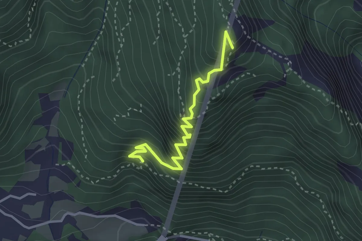
Expert · Summit
Via ferrata delle gallerie di guerra
2.7 km · ↑ 455 m · 1 h 38 min · 3 km away
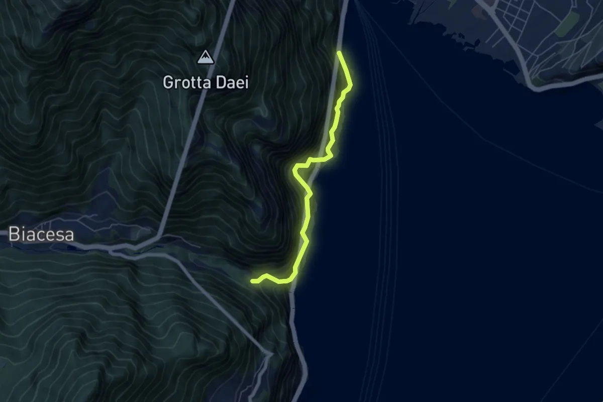
Medium · Trail
Sentiero del Ponale Giacomo Cis
5.4 km · ↑ 725 m · 2 h 50 min · 3 km away
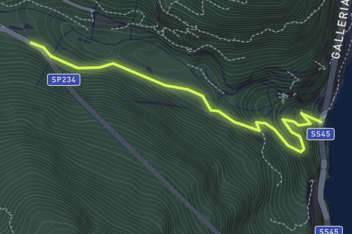
Medium · Trail
Antica Via del Ponale
2.8 km · ↑ 347 m · 1 h 25 min · 3 km away
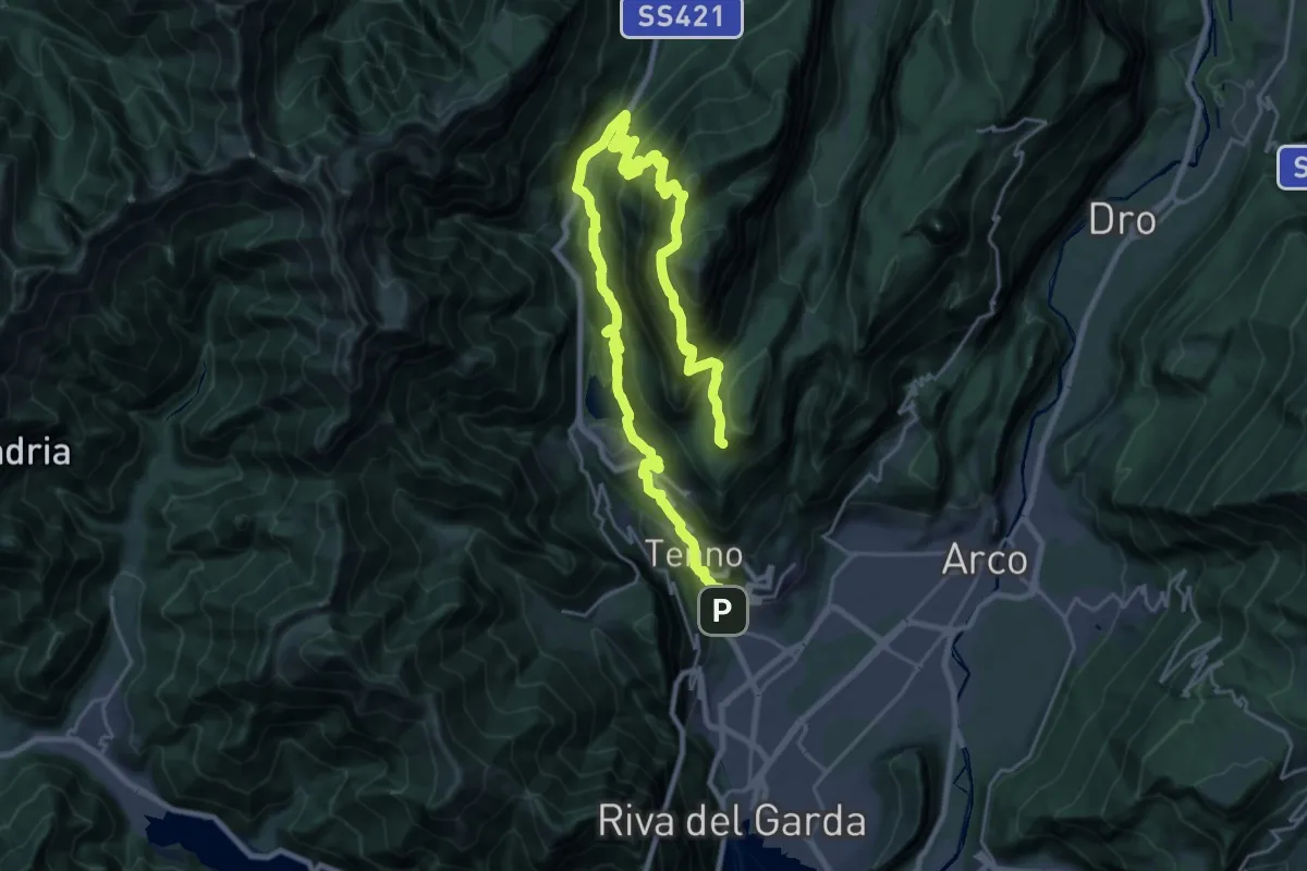
Demanding · Cabin
Itinerario Garda Brenta - Tappa 7
18.1 km · ↑ 1674 m · 7 h 45 min · 3 km away
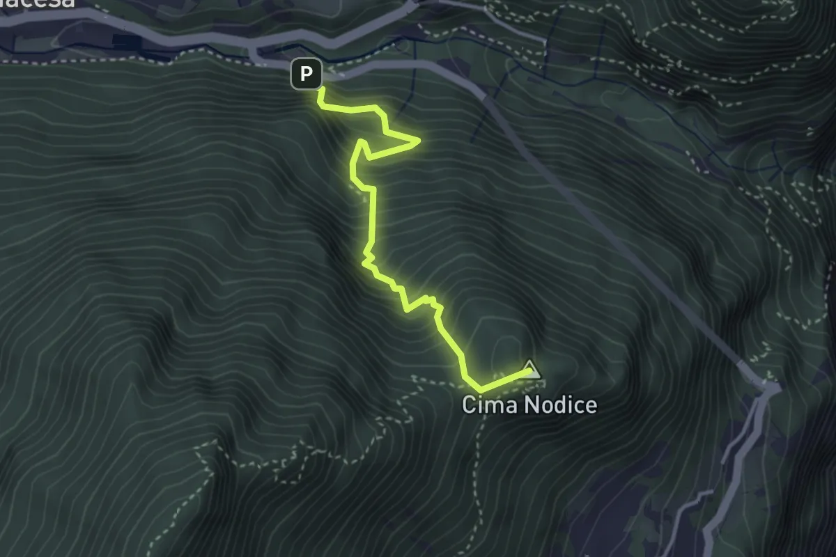
Medium · Summit
Tof (bivio 422) – Biacesa - bivio strada
3.3 km · ↑ 533 m · 1 h 56 min · 3 km away
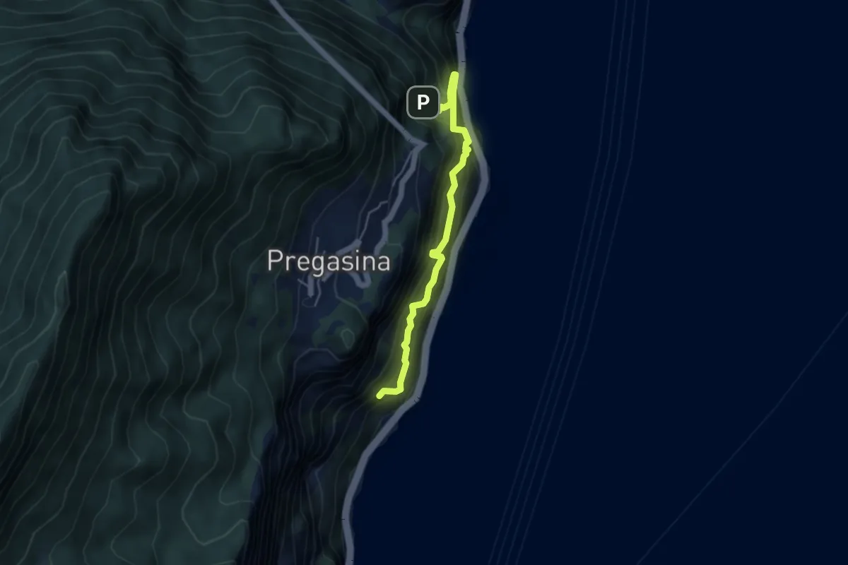
Expert · Trail
Sentiero Alpinistico dei Contrabbandieri "Massimiliano Torti"
4.2 km · ↑ 1054 m · 3 h 17 min · 3 km away
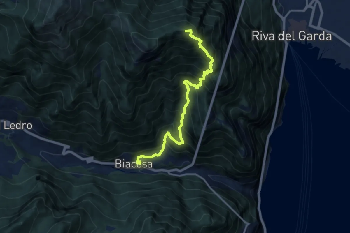
Demanding · Summit
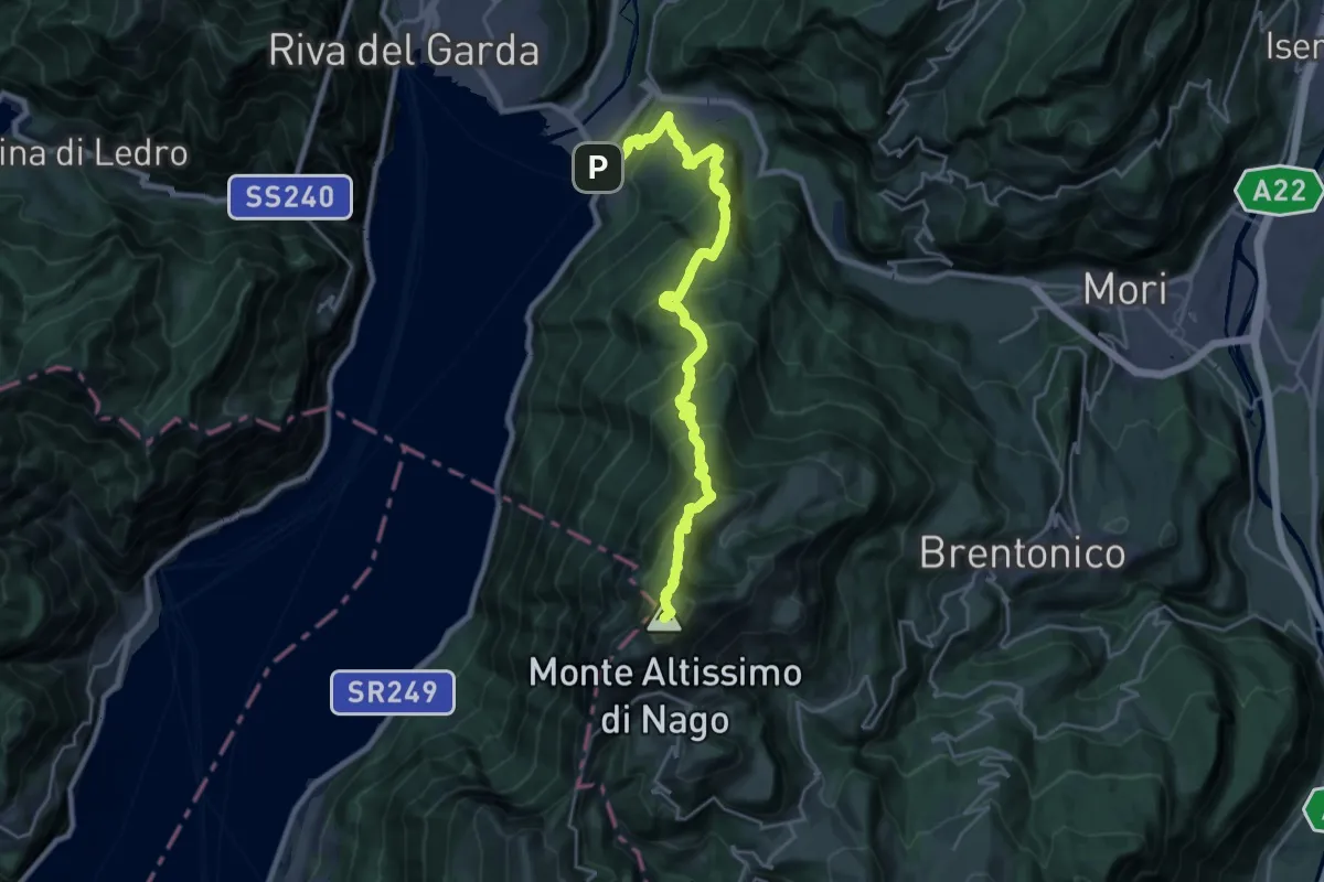
Via de Ari
8.5 km · ↑ 1092 m · 4 h 23 min · 3 km away
Demanding · Summit
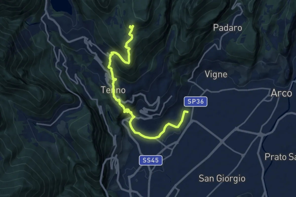
Sentiero del "Segron"
24.8 km · ↑ 2136 m · 10 h 29 min · 3 km away
Demanding · Cabin
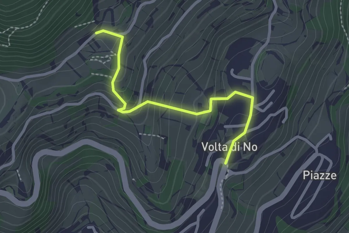
Sentiero Frassati - Tappa 1
12.7 km · ↑ 950 m · 5 h 4 min · 3 km away
Medium · Trail
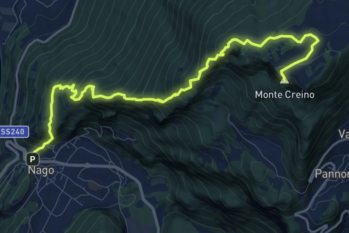
Volta di Nò – Vandrino (bivio 480)
2.3 km · ↑ 170 m · 55 min · 4 km away
Demanding · Summit
Nago – Passo di Santa Barbara
12.5 km · ↑ 1115 m · 5 h 22 min · 4 km away
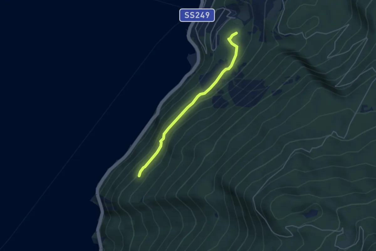
Easy · Trail
Busatte - Tempesta
3.9 km · ↑ 179 m · 1 h 19 min · 4 km away
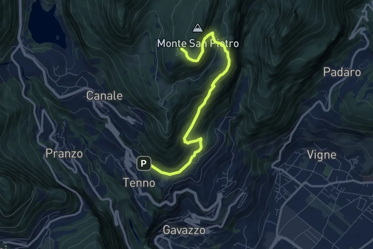
Medium · Trail
Tenno - Revedù (bivio 401) – Bosco Monte San Pietro (bivio 401)
8.0 km · ↑ 588 m · 3 h 9 min · 4 km away
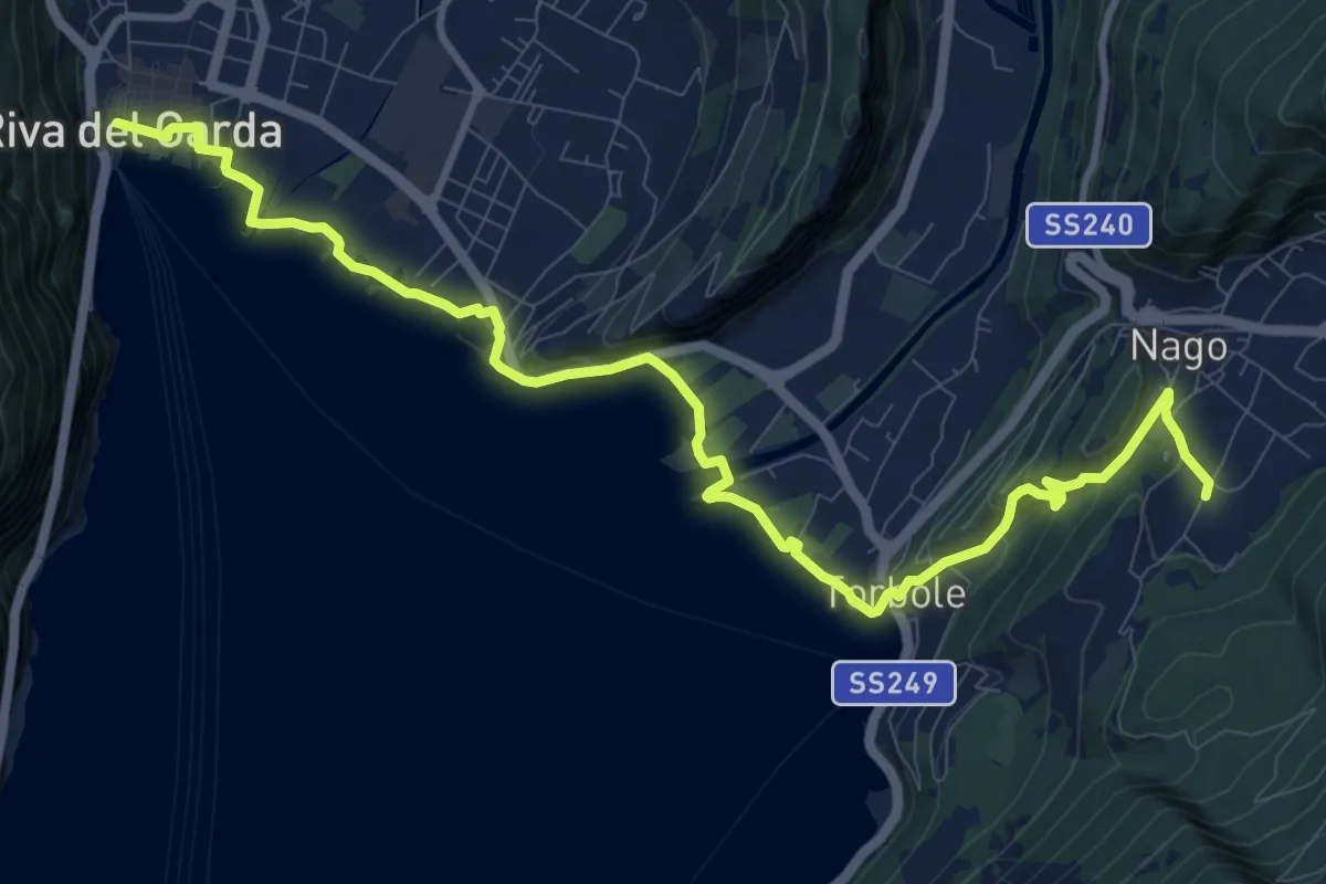
Medium · Trail
Sentiero della Pace - Tappa 7
12.8 km · ↑ 319 m · 3 h 43 min · 4 km away
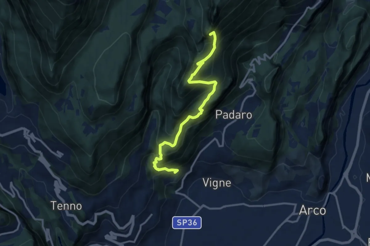
Demanding · Summit
Sentiero Piazzole
8.7 km · ↑ 1139 m · 4 h 31 min · 5 km away
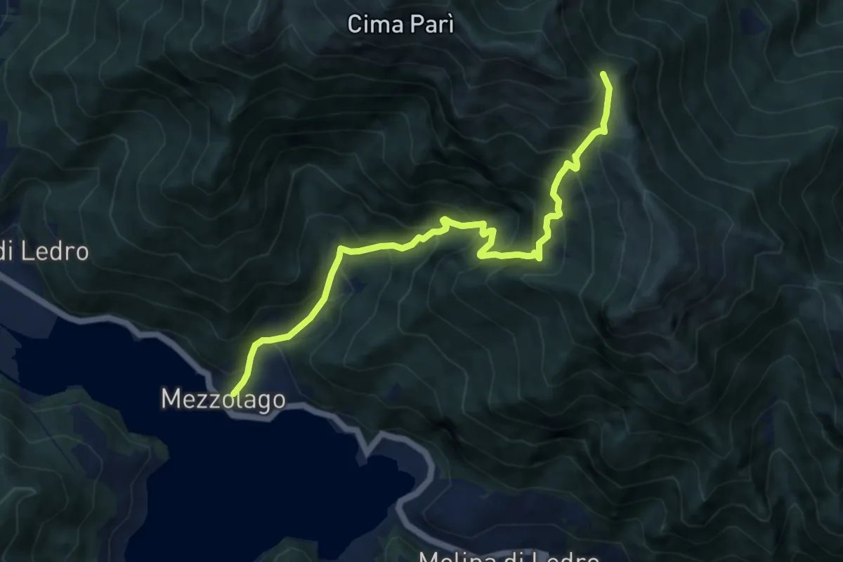
Demanding · Trail
Sentér de Dromaé
9.6 km · ↑ 1046 m · 4 h 32 min · 5 km away
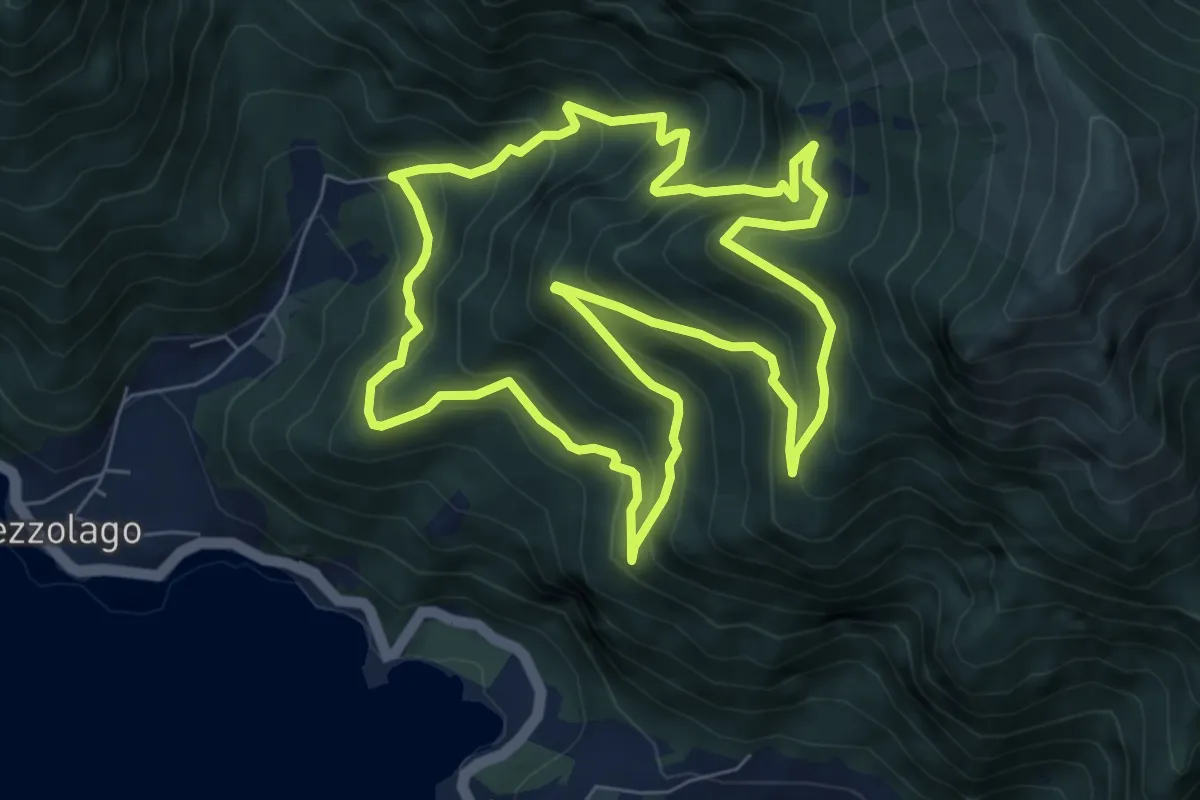
Medium · Trail
Sentiero botanico Val Dromaé
7.2 km · ↑ 650 m · 3 h 13 min · 5 km away
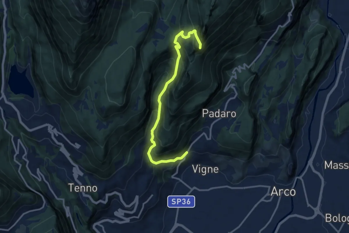
Demanding · Summit
Bivio strada Varignano - Padaro – Quota 1123
9.6 km · ↑ 895 m · 4 h 12 min · 5 km away
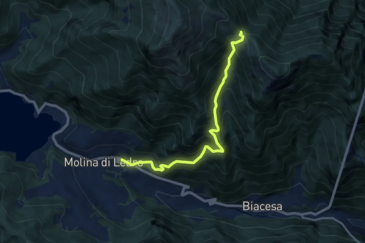
Demanding · Trail
Sentér de Giumela
8.0 km · ↑ 913 m · 3 h 53 min · 5 km away
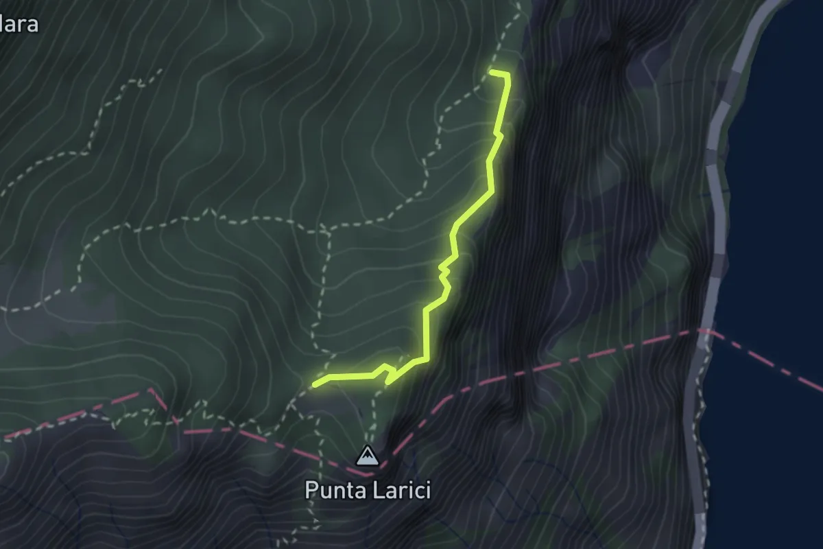
Demanding · Trail
Sentér de la Costa
2.1 km · ↑ 205 m · 56 min · 5 km away
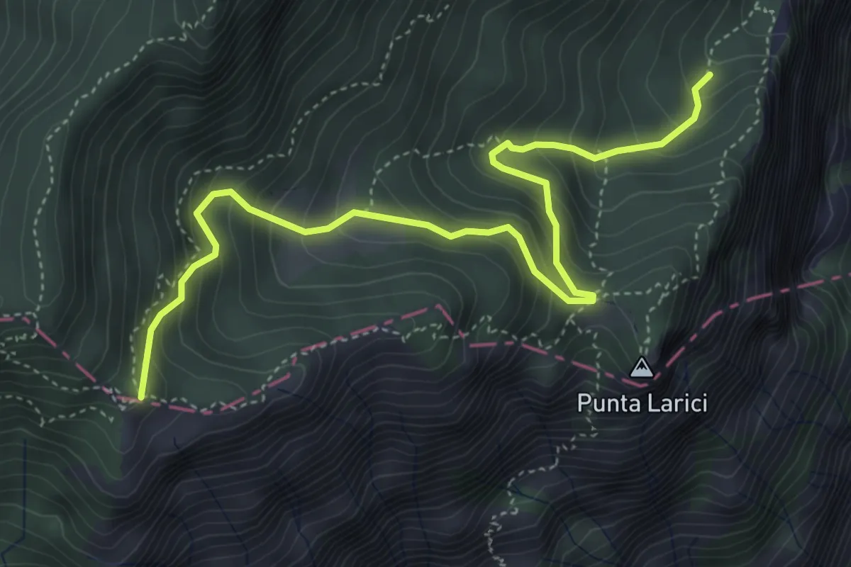
Medium · Trail
Sentér de Palaer
5.3 km · ↑ 522 m · 2 h 22 min · 5 km away
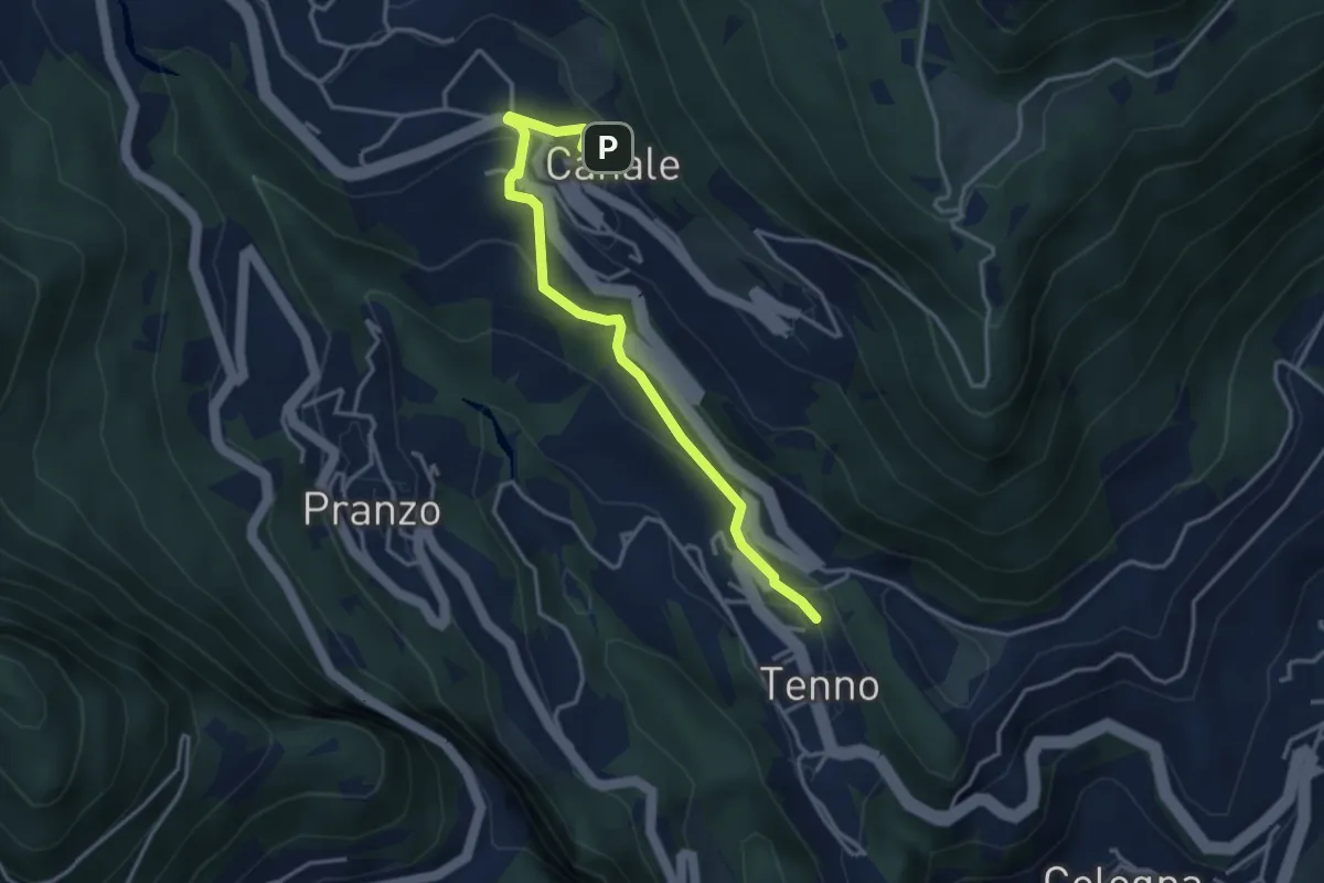
Easy · Trail
Tenno (bivio 401) – Canale (bivio 406)
3.7 km · ↑ 178 m · 1 h 16 min · 5 km away
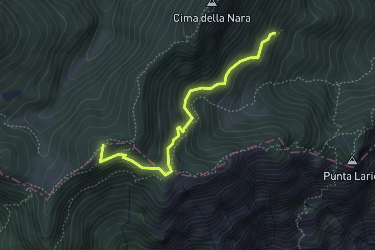
Medium · Summit
Presso Pregasina (bivio O422B) – Passo di Vil (bivio O421)
4.0 km · ↑ 379 m · 1 h 46 min · 5 km away
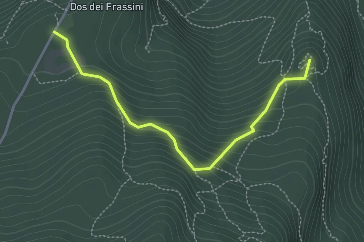
Medium · Summit
Giro del Doss alto di Nago
2.7 km · ↑ 193 m · 1 h 4 min · 5 km away
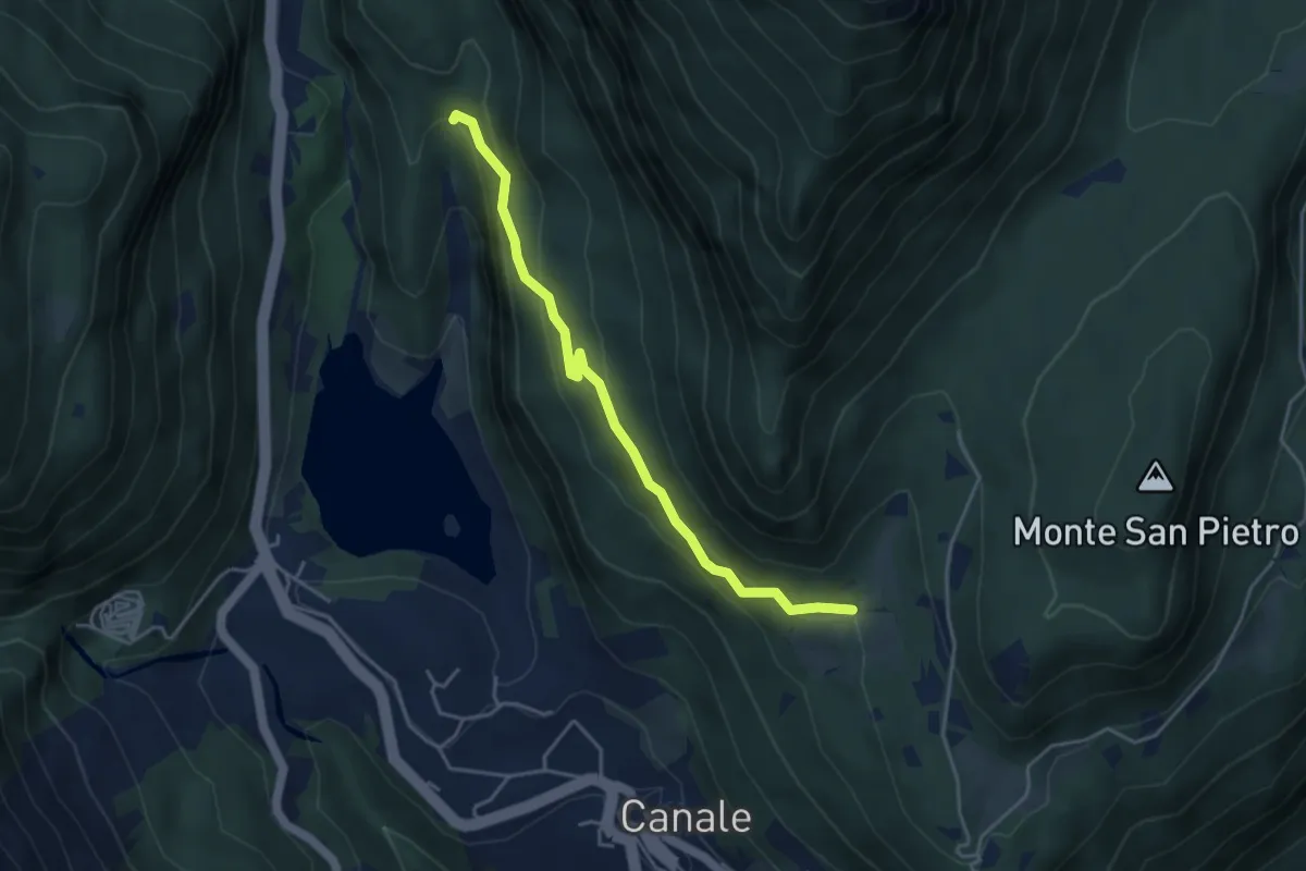
Easy · Trail
Terra rossa (bivio 406) – Casa Bastiani (bivio 406)
4.1 km · ↑ 246 m · 1 h 31 min · 6 km away
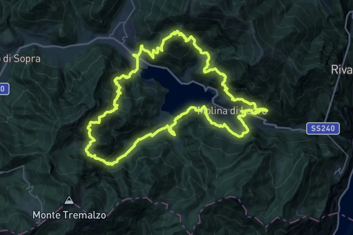
Demanding · Summit
Ledro Trek Medium
27.2 km · ↑ 2499 m · 12 h 12 min · 6 km away
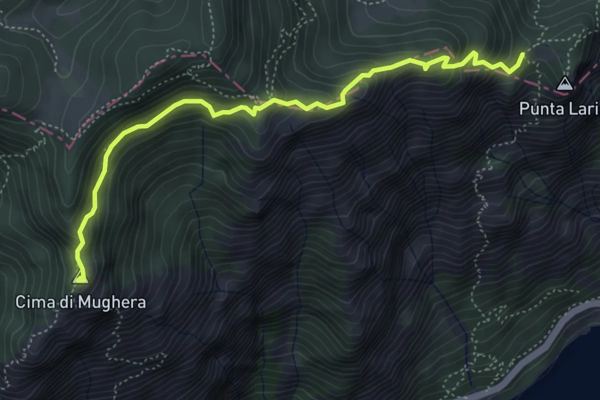
Demanding · Summit
Cima Mughera – Bocca Larici
5.2 km · ↑ 489 m · 2 h 18 min · 6 km away
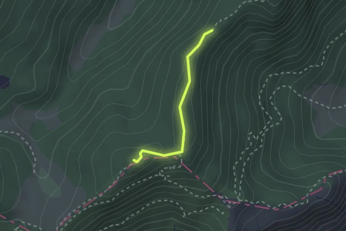
Medium · Summit
Sentér di Cima Nara
1.6 km · ↑ 47 m · 28 min · 6 km away
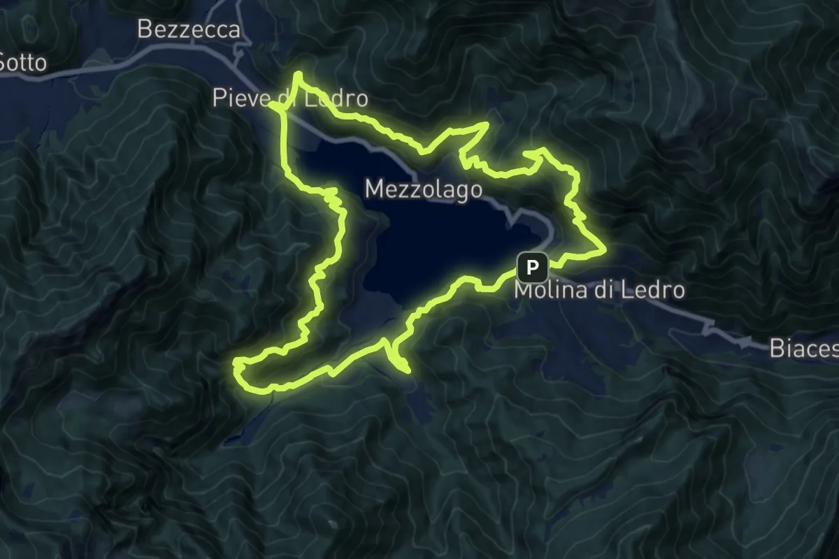
Demanding · Trail
Ledro Trek Low
17.8 km · ↑ 1428 m · 7 h 33 min · 6 km away
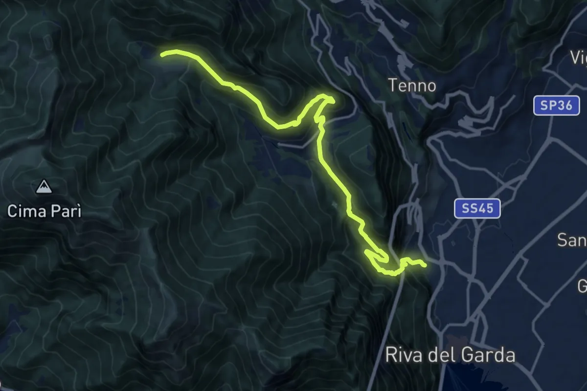
Demanding · Trail
Sentiero delle Laste basse - Berghem "Claudio Fedrizzi"
15.4 km · ↑ 1068 m · 5 h 57 min · 6 km away
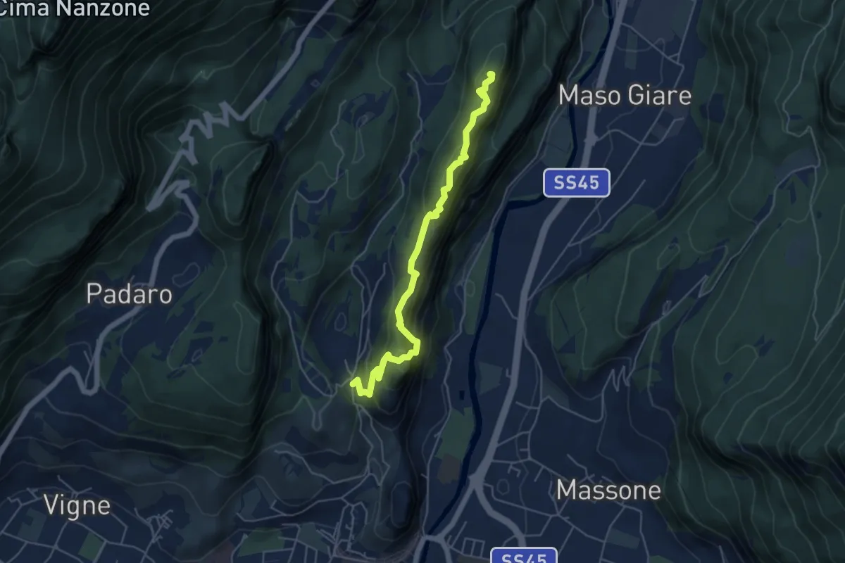
Medium · Summit
Sentiero attrezzato del Monte Colt
5.1 km · ↑ 376 m · 2 h 2 min · 6 km away
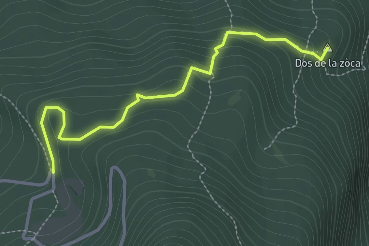
Medium · Summit
Sasso Sega (bivio 601B) – Tornante presso Malga Casina (bivio 601)
2.7 km · ↑ 156 m · 58 min · 6 km away
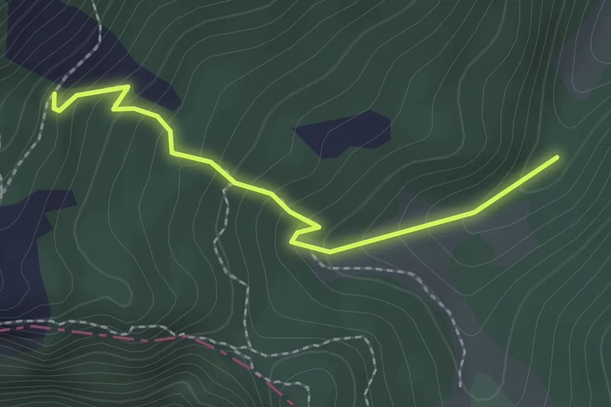
Easy · Trail
Monte Carone – Malga Vil
2.0 km · ↑ 175 m · 51 min · 6 km away
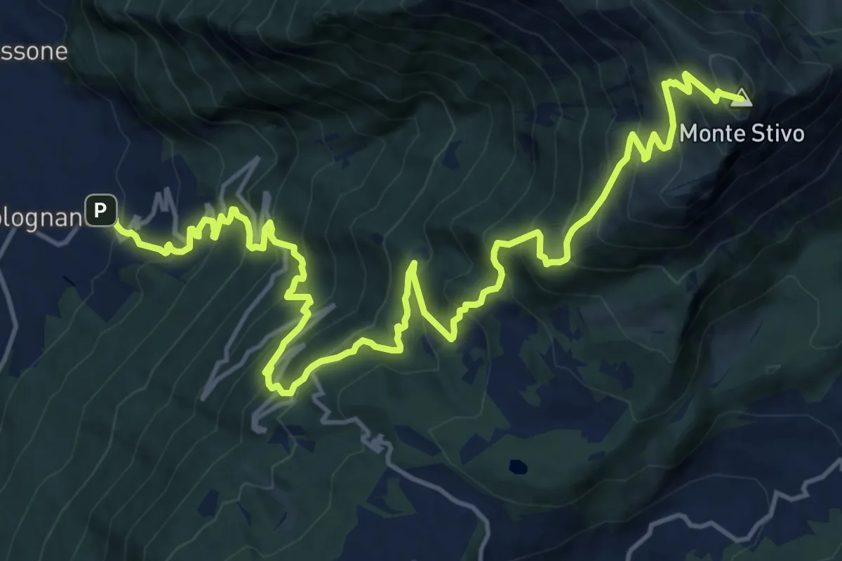
Demanding · Summit
Bolognano D'Arco - Istituto Missionario – Rifugio Stivo "Prospero Marchetti" (bivio 617 - 617B)
20.5 km · ↑ 1926 m · 9 h 1 min · 6 km away
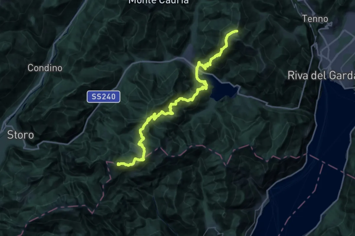
Demanding · Summit
Alta Via n. 10 - Garda Brenta
41.7 km · ↑ 3150 m · 16 h 41 min · 6 km away
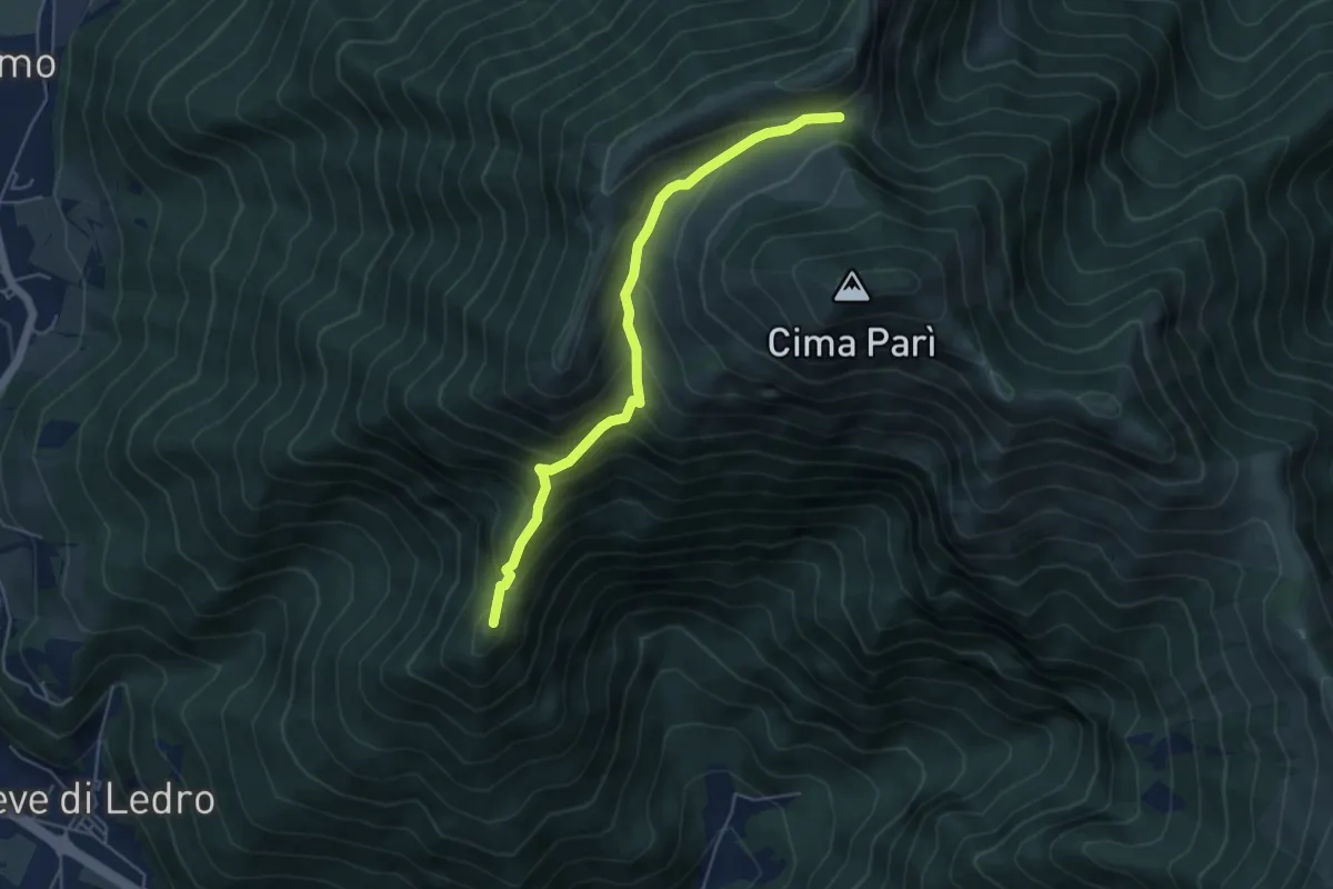
Medium · Summit
Sentér de Saval
5.0 km · ↑ 437 m · 2 h 7 min · 6 km away
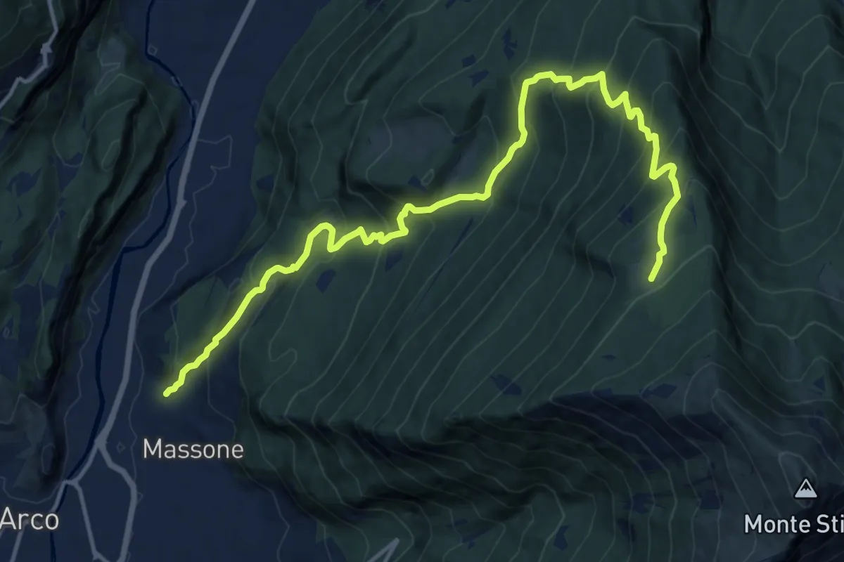
Demanding · Trail
Sentiero di Vallestrè
15.9 km · ↑ 1358 m · 6 h 41 min · 7 km away
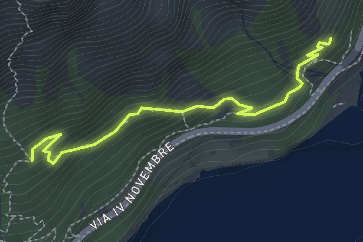
Medium · Trail
Sentiero del Sole - Nord
2.3 km · ↑ 194 m · 58 min · 7 km away
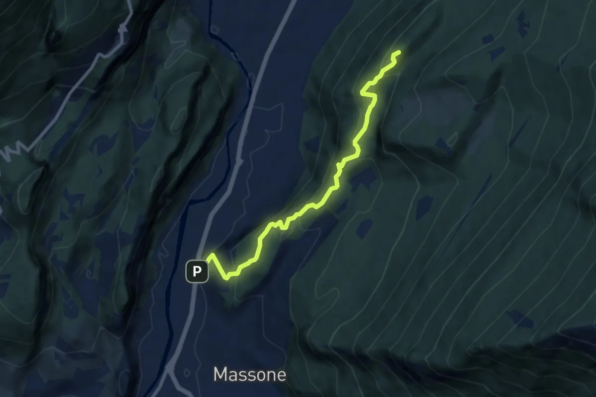
Medium · Summit
Sentiero attrezzato della Maestra "Caterina Tantardini Bombardelli"
7.4 km · ↑ 530 m · 2 h 54 min · 7 km away