Trails near Riva del Garda
199 hikes starting within 15 km, nearest first.
Nearest first, page 2 of 5
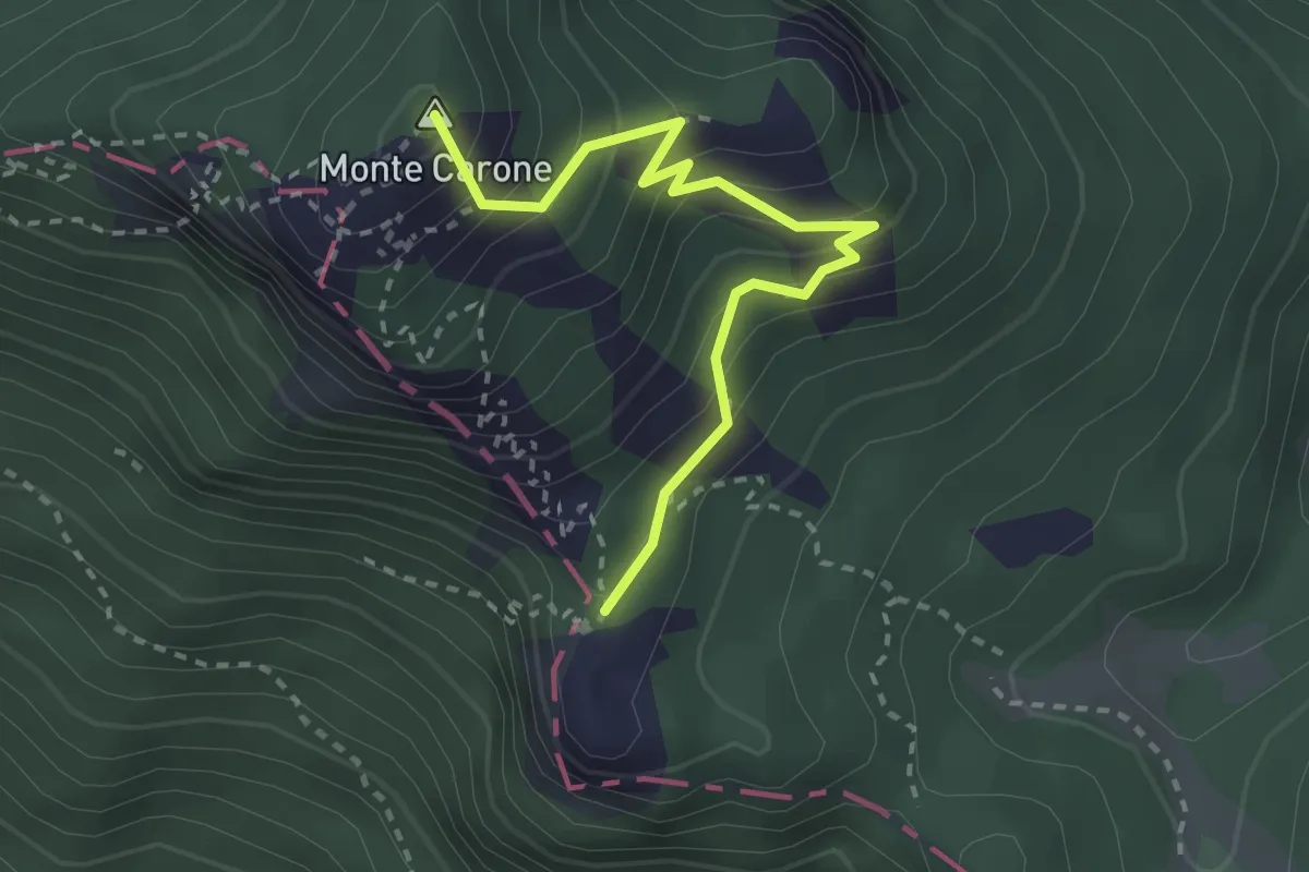
Medium · Summit
Monte Carone – Punta Mois
2.9 km · ↑ 306 m · 1 h 21 min · 7 km away
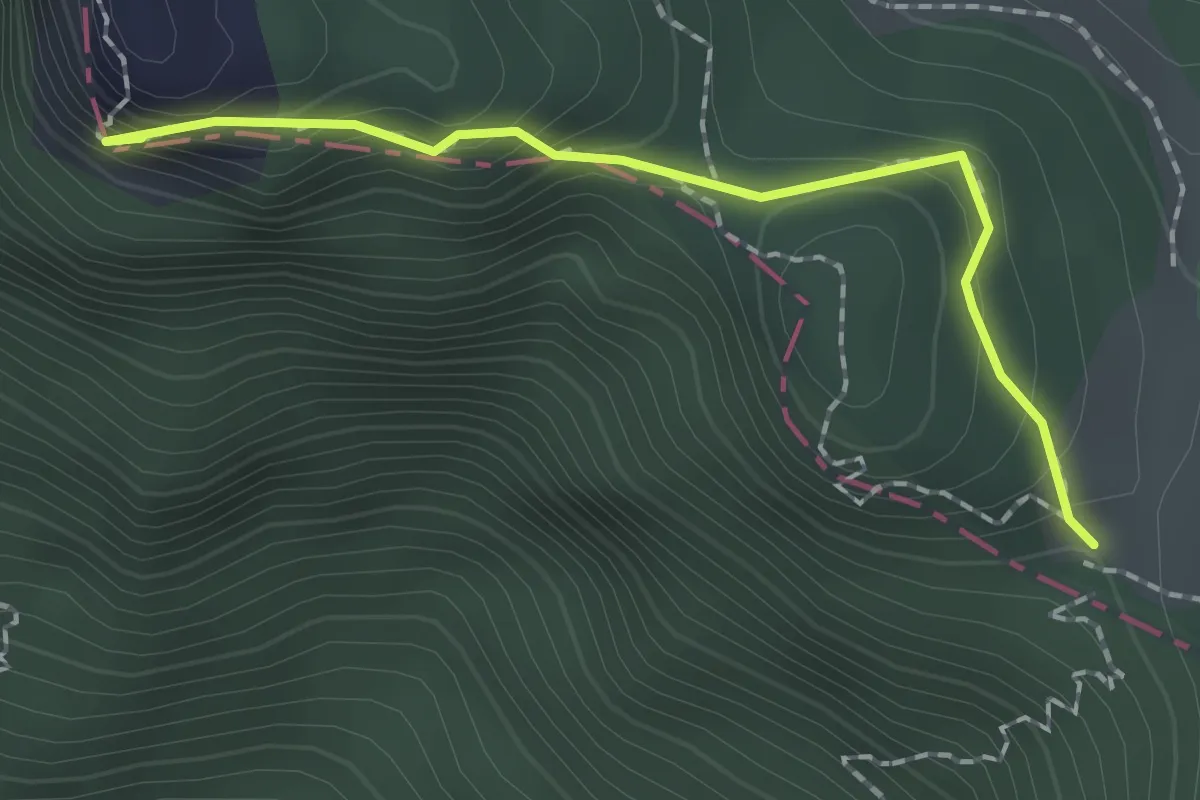
Easy · Summit
Punta di Mois – Prati di Guil
1.8 km · ↑ 166 m · 47 min · 7 km away
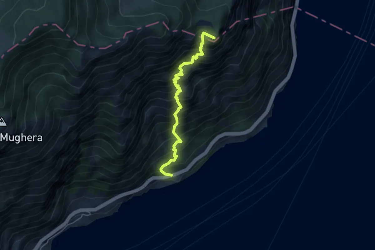
Demanding · Summit
Sentiero del Sole
4.2 km · ↑ 811 m · 2 h 44 min · 7 km away
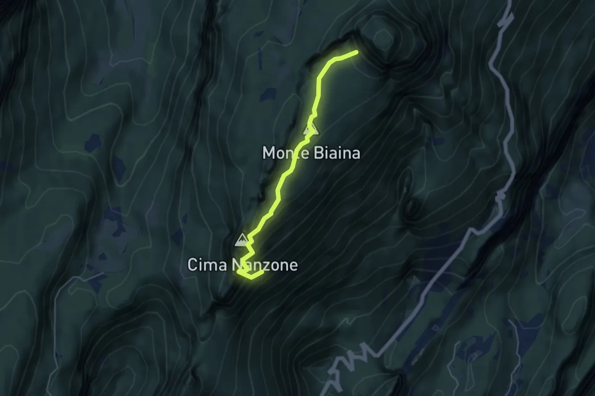
Medium · Summit
Giro del Monte Biaina
2.1 km · ↑ 589 m · 1 h 39 min · 7 km away
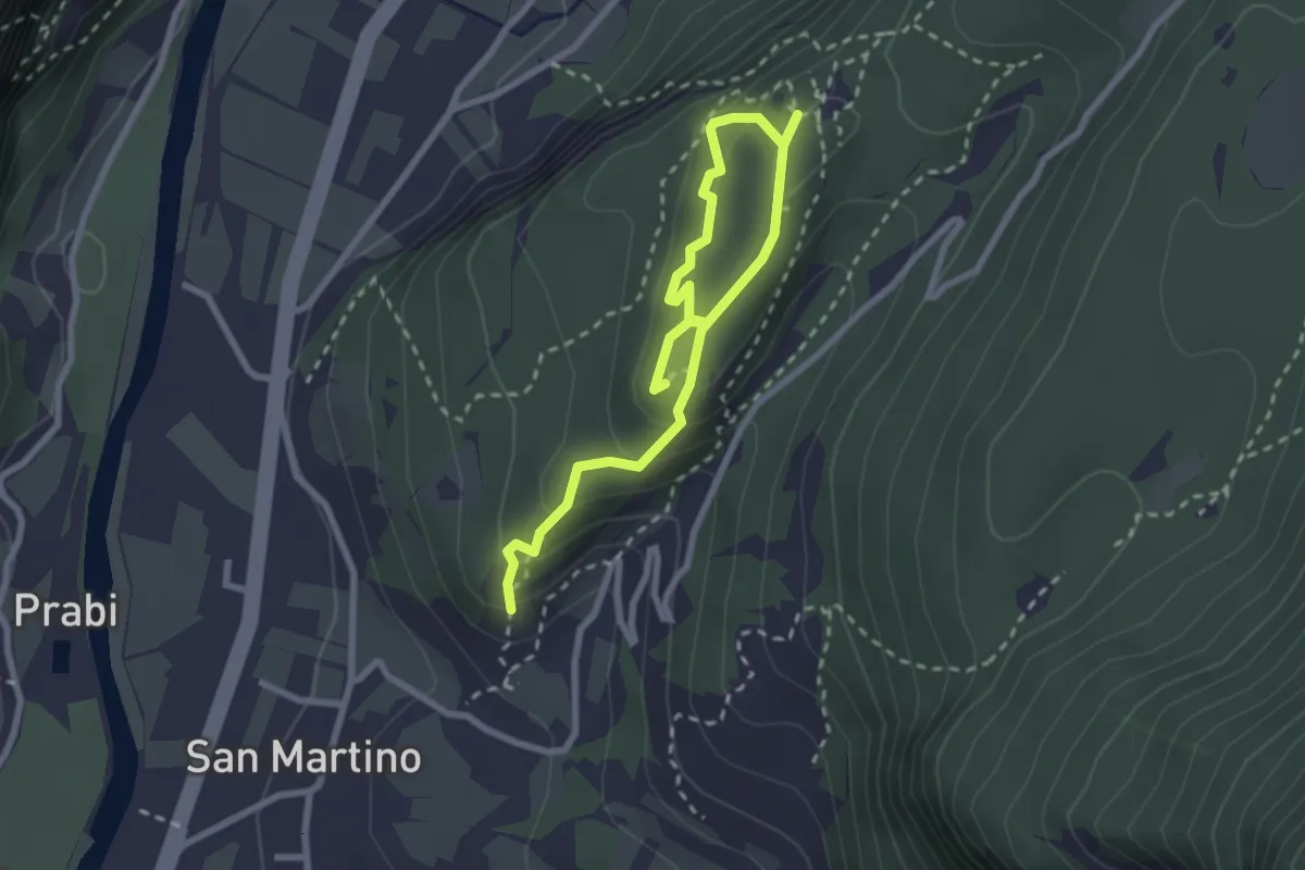
Easy · Trail
Anello delle Trincee
3.4 km · ↑ 246 m · 1 h 21 min · 7 km away
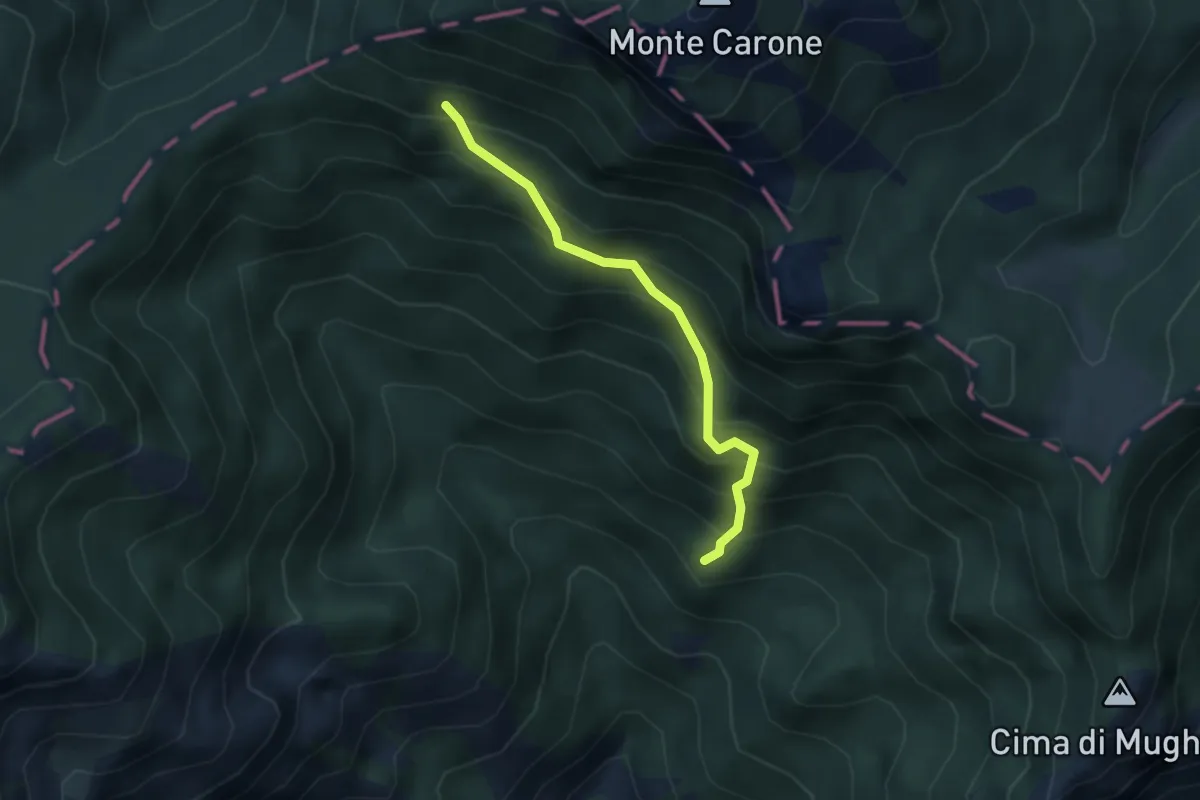
Medium · Summit
Val Piana, Baita Segala
3.0 km · ↑ 423 m · 1 h 38 min · 7 km away
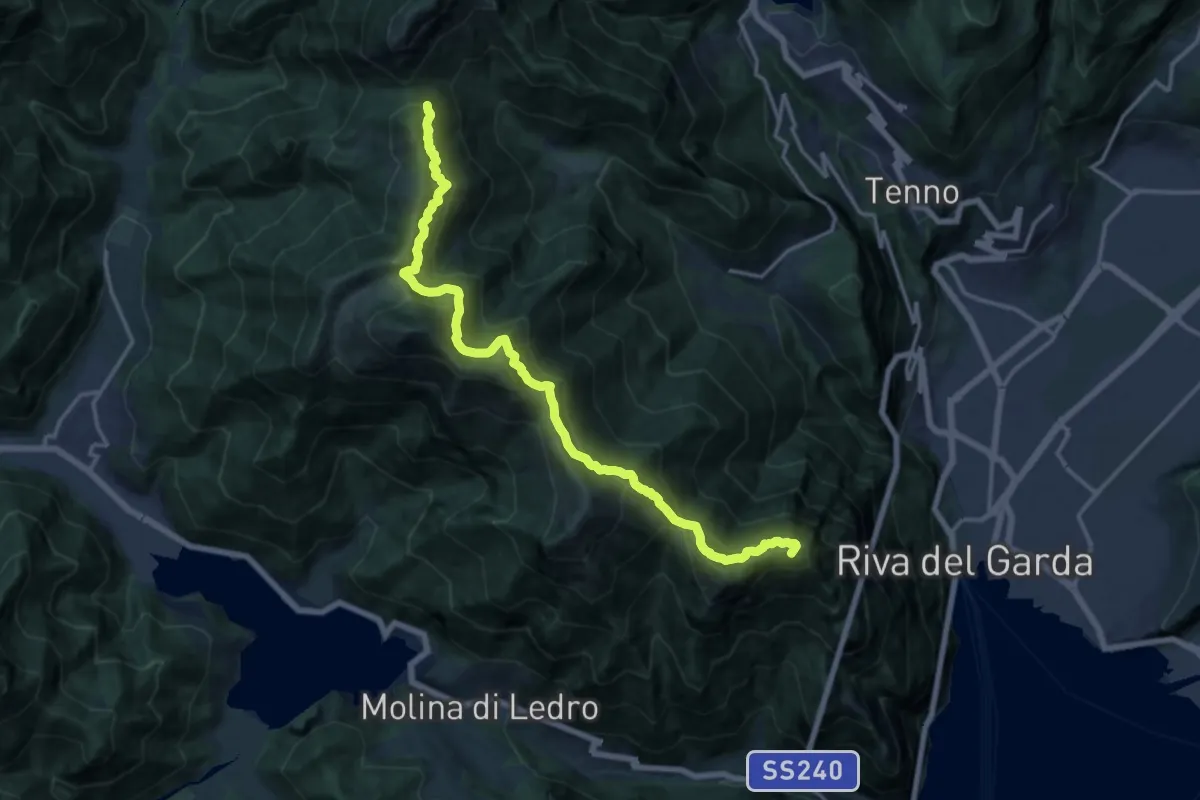
Expert · Summit
Itinerario Garda Brenta - Tappa 1
16.8 km · ↑ 1373 m · 6 h 57 min · 7 km away
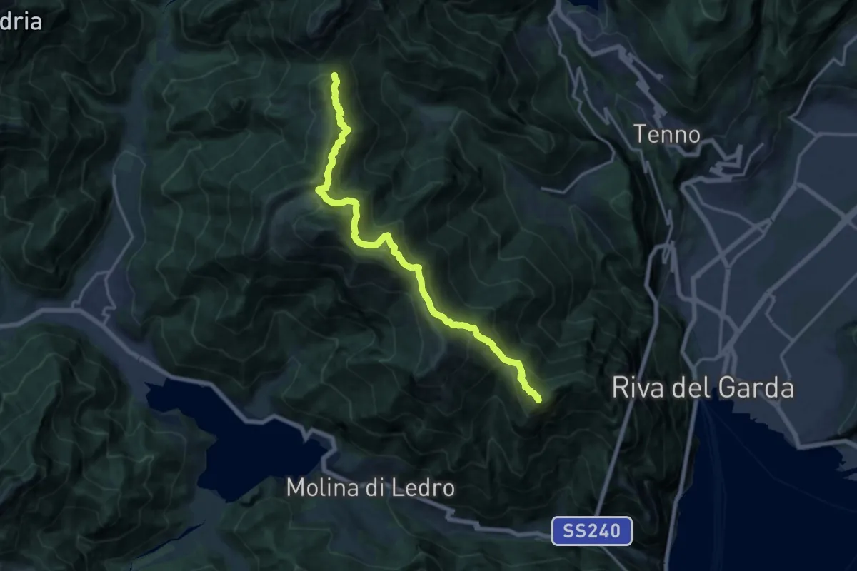
Demanding · Summit
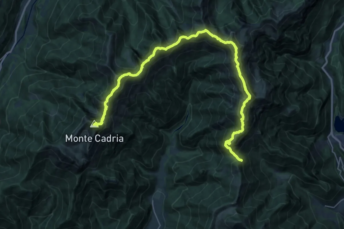
Alpiedi Ledro Alps Trek - Tappa 3
15.5 km · ↑ 1213 m · 6 h 17 min · 7 km away
Expert · Summit
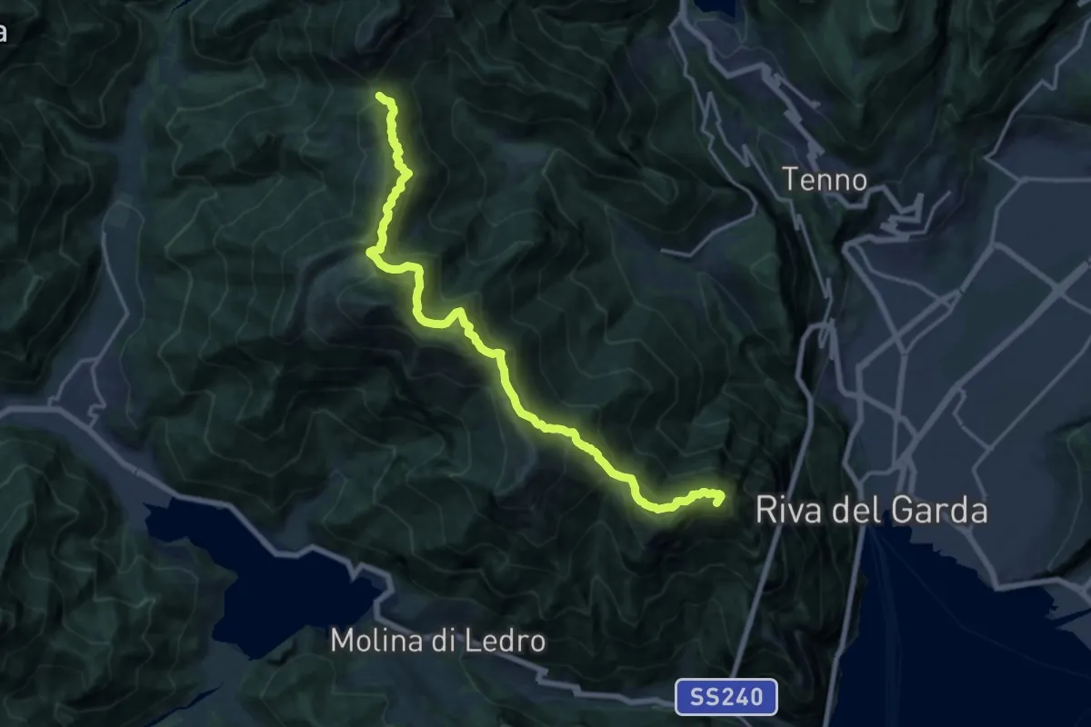
Alpiedi Ledro Alps Trek - Tappa 4
28.3 km · ↑ 2757 m · 12 h 40 min · 7 km away
Demanding · Summit
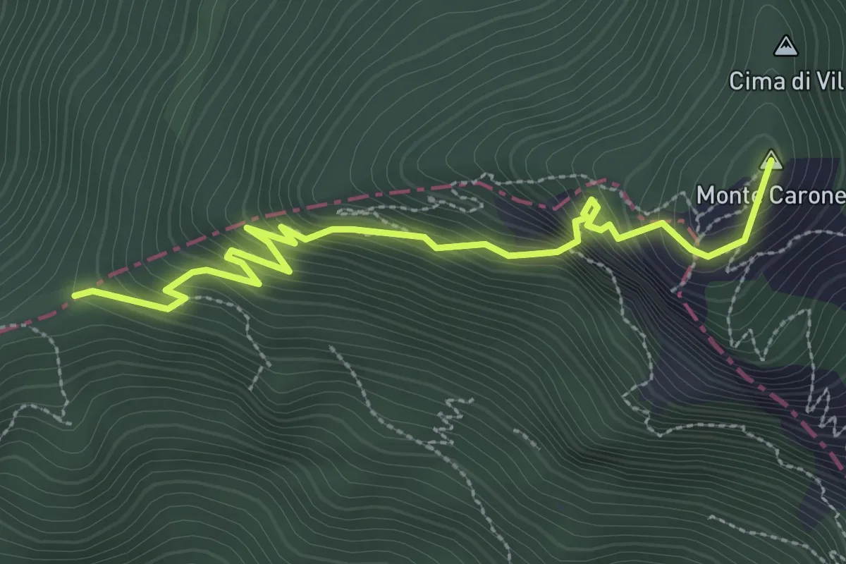
Sentiero delle Cime
17.2 km · ↑ 1392 m · 7 h 4 min · 7 km away
Expert · Summit
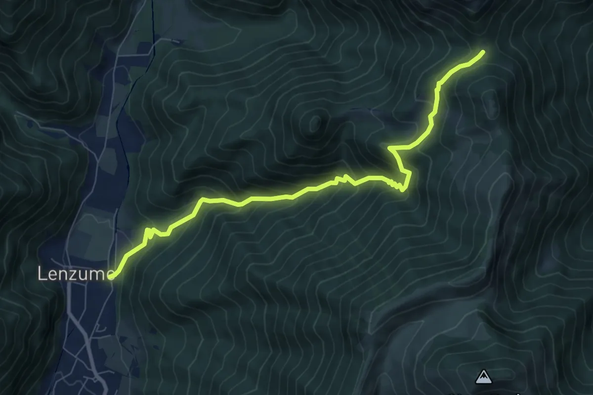
Agostino Tosi
3.3 km · ↑ 412 m · 1 h 40 min · 7 km away
Demanding · Trail
Sentér de Val da Vai
8.6 km · ↑ 812 m · 3 h 48 min · 7 km away
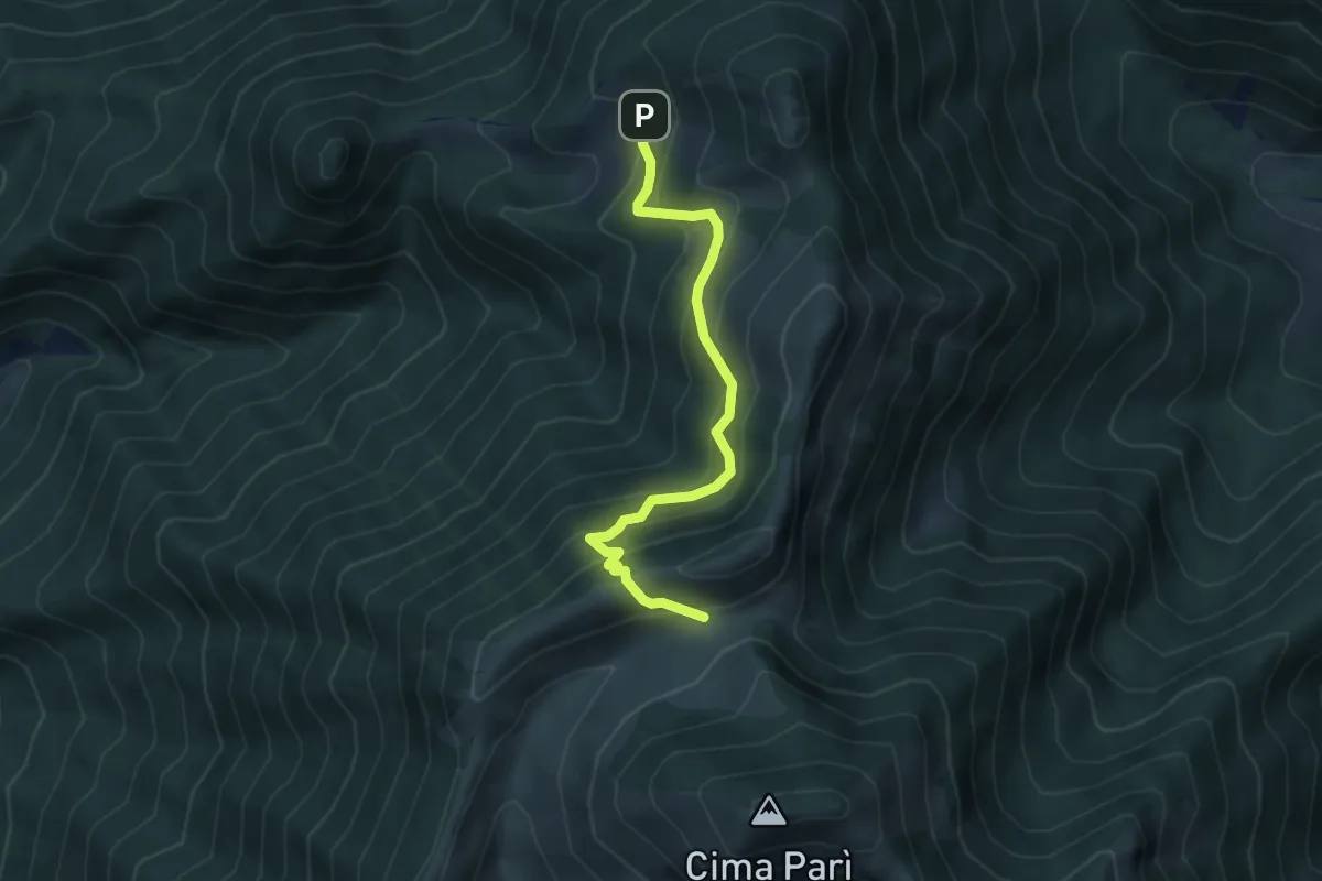
Medium · Trail
Senter de le Vache "Jacopo Santoni"
4.6 km · ↑ 426 m · 2 h 1 min · 7 km away
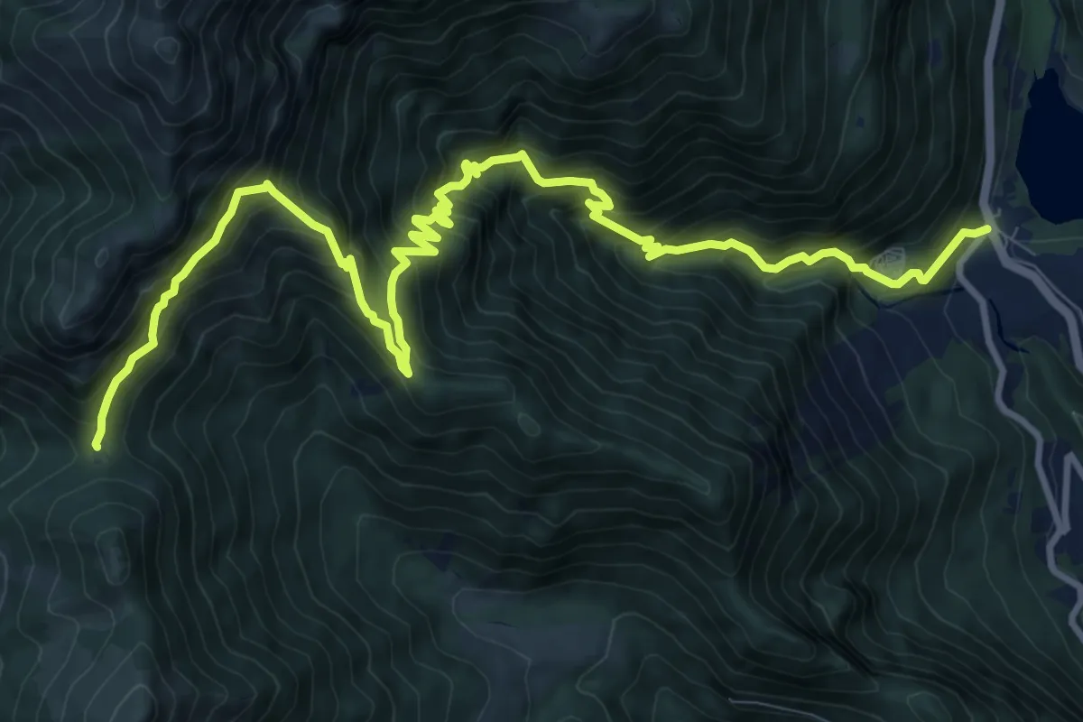
Demanding · Trail
Sentiero della Regina
13.9 km · ↑ 1468 m · 6 h 27 min · 7 km away
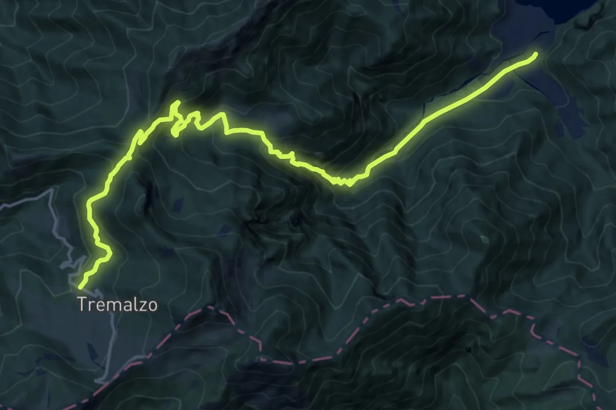
Demanding · Cabin
Senter de Malga Giù
17.9 km · ↑ 1206 m · 6 h 51 min · 8 km away
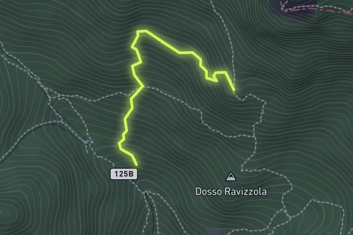
Medium · Trail
Senter de l'Aldo
2.1 km · ↑ 287 m · 1 h 7 min · 8 km away
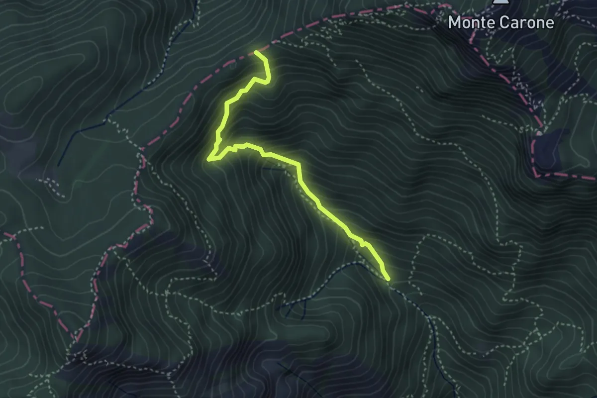
Medium · Trail
Pala dei Salcc – Bocca dei Fortini
3.5 km · ↑ 451 m · 1 h 49 min · 8 km away
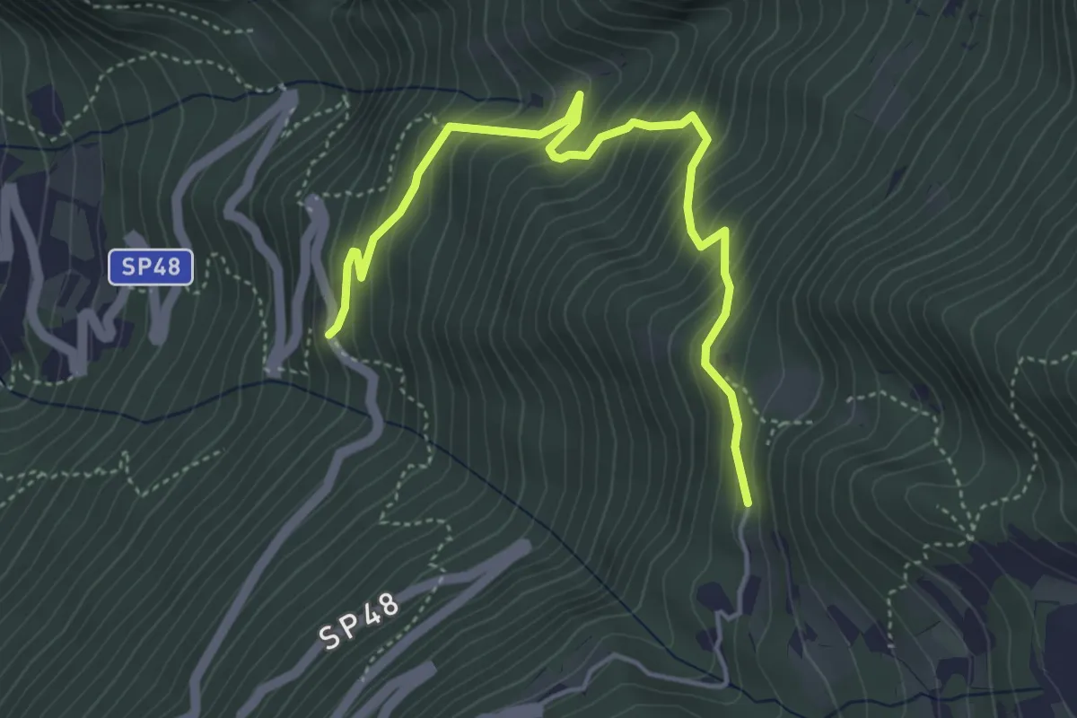
Medium · Trail
Salve Regina (bivio 608) – Monte Velo - bivio strada provinciale 48
4.9 km · ↑ 475 m · 2 h 11 min · 8 km away
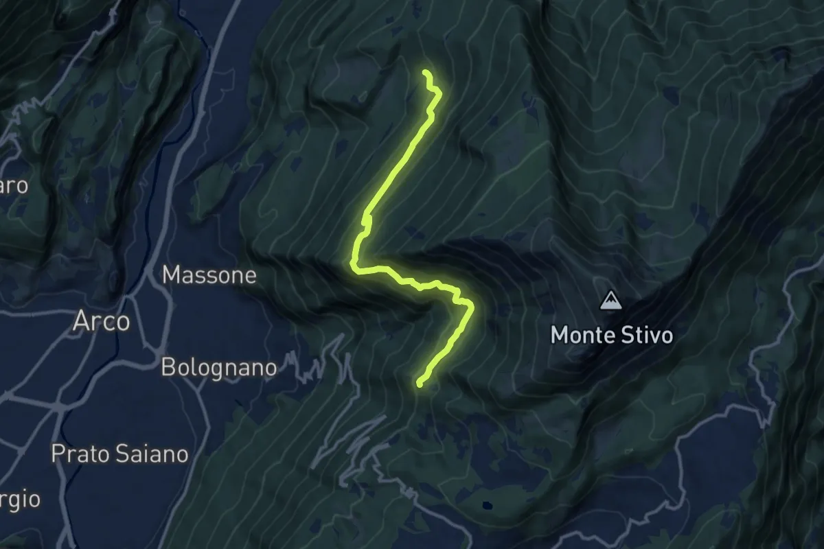
Demanding · Trail
Sentiero Caproni
11.5 km · ↑ 801 m · 4 h 27 min · 8 km away
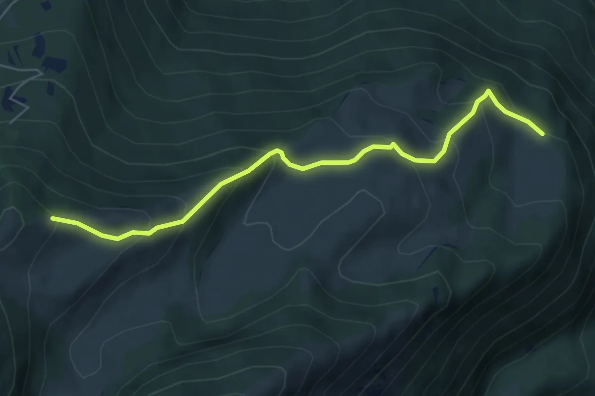
Medium · Trail
Presso Malga Campei di sotto (bivio 650) – Sella nord-est del Monte Varagna (bivio 601)
5.6 km · ↑ 413 m · 2 h 13 min · 8 km away
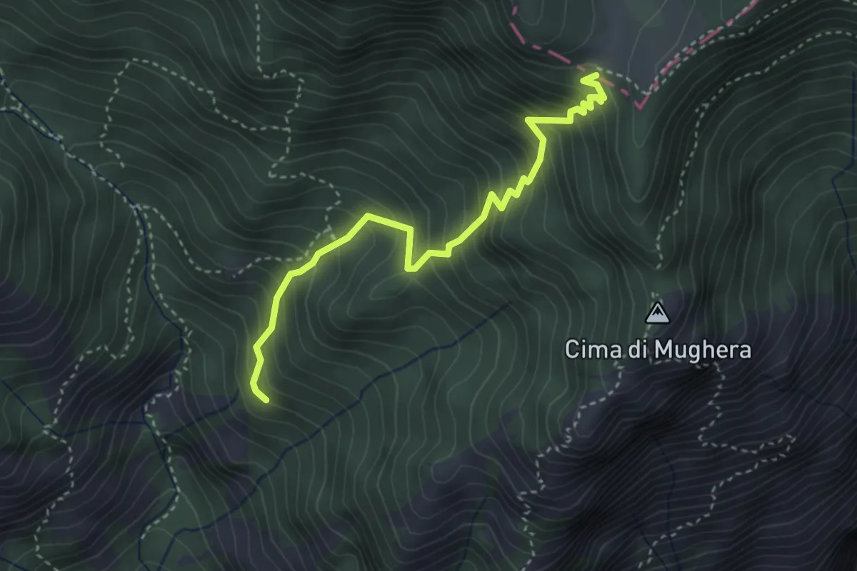
Medium · Trail
Valacco, Passo Gul
3.6 km · ↑ 513 m · 1 h 58 min · 8 km away
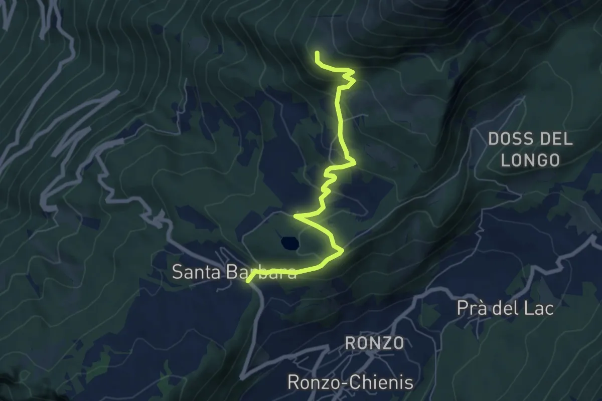
Medium · Trail
Passo Santa Barbara (bivio 637) – Le Prese (bivio 608)
6.2 km · ↑ 384 m · 2 h 18 min · 8 km away
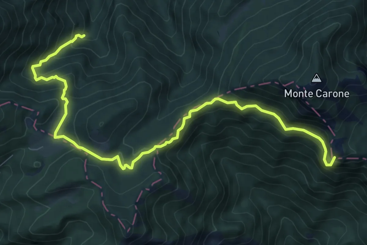
Demanding · Summit
Sentér de Malga Vil
10.7 km · ↑ 806 m · 4 h 17 min · 8 km away
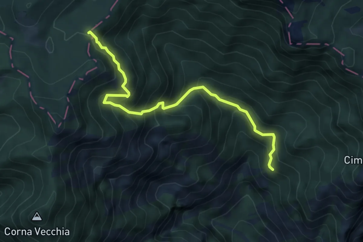
Medium · Trail
Valacco, Passo Bestana
6.2 km · ↑ 661 m · 2 h 54 min · 8 km away
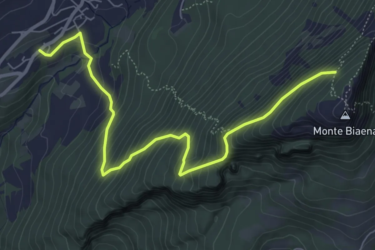
Medium · Cabin
Chienis – Presso Baita Biaena (bivio 671)
7.0 km · ↑ 664 m · 3 h 5 min · 8 km away
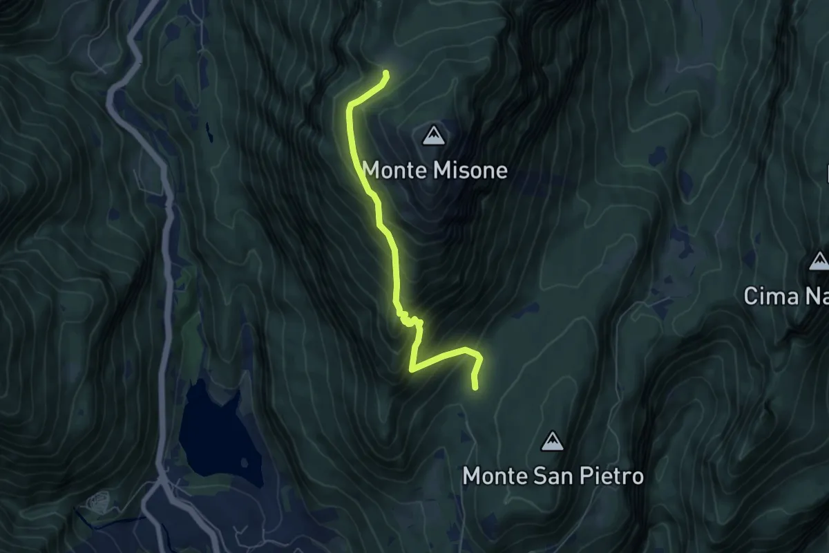
Medium · Trail
Presso Sella Monte Calino (bivio 410) – Malga di Tenno (bivio 433)
5.8 km · ↑ 637 m · 2 h 45 min · 8 km away
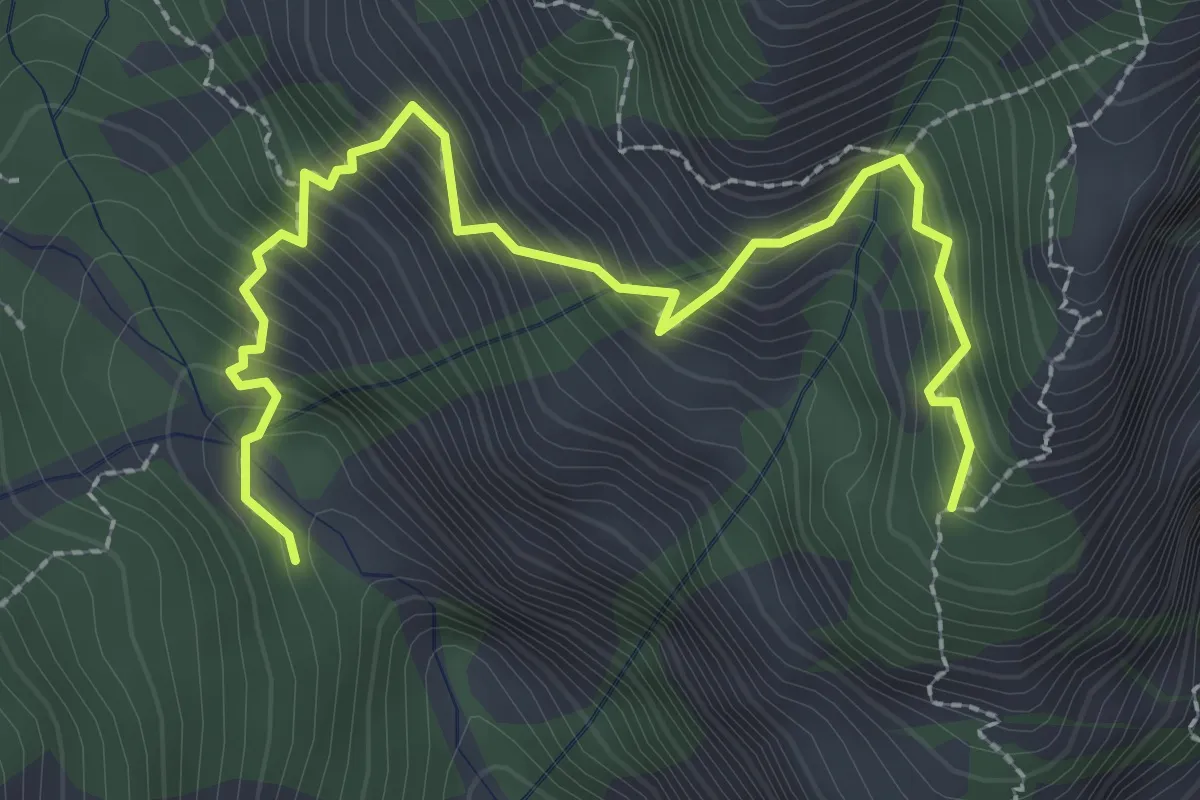
Medium · Trail
Sentiero del Bepi - Dosso dei Roveri
3.1 km · ↑ 536 m · 1 h 54 min · 8 km away
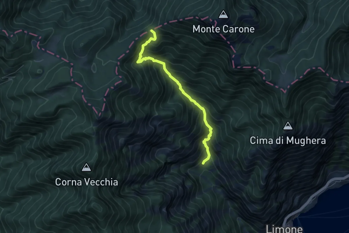
Demanding · Trail
Val da Bosch (Limone sul Garda) – Bocca dei Fortini
6.1 km · ↑ 786 m · 3 h 8 min · 8 km away
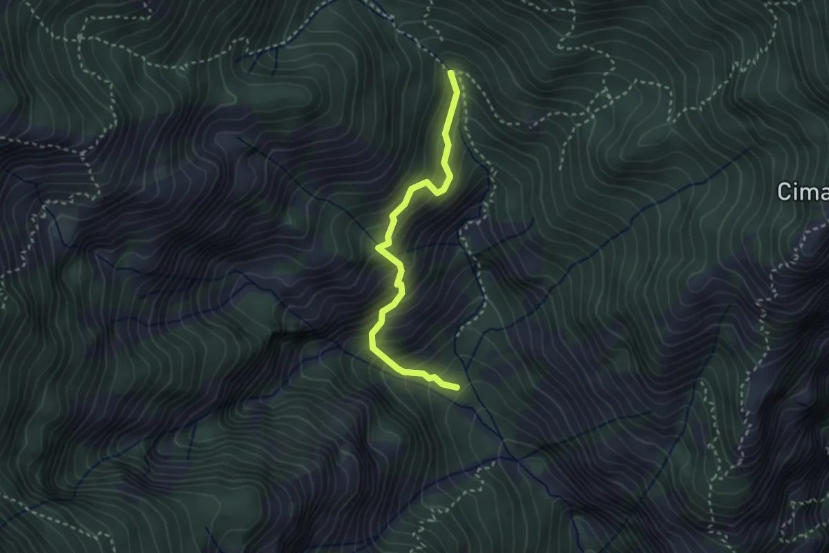
Medium · Trail
Senter del Fiore
2.8 km · ↑ 445 m · 1 h 38 min · 9 km away
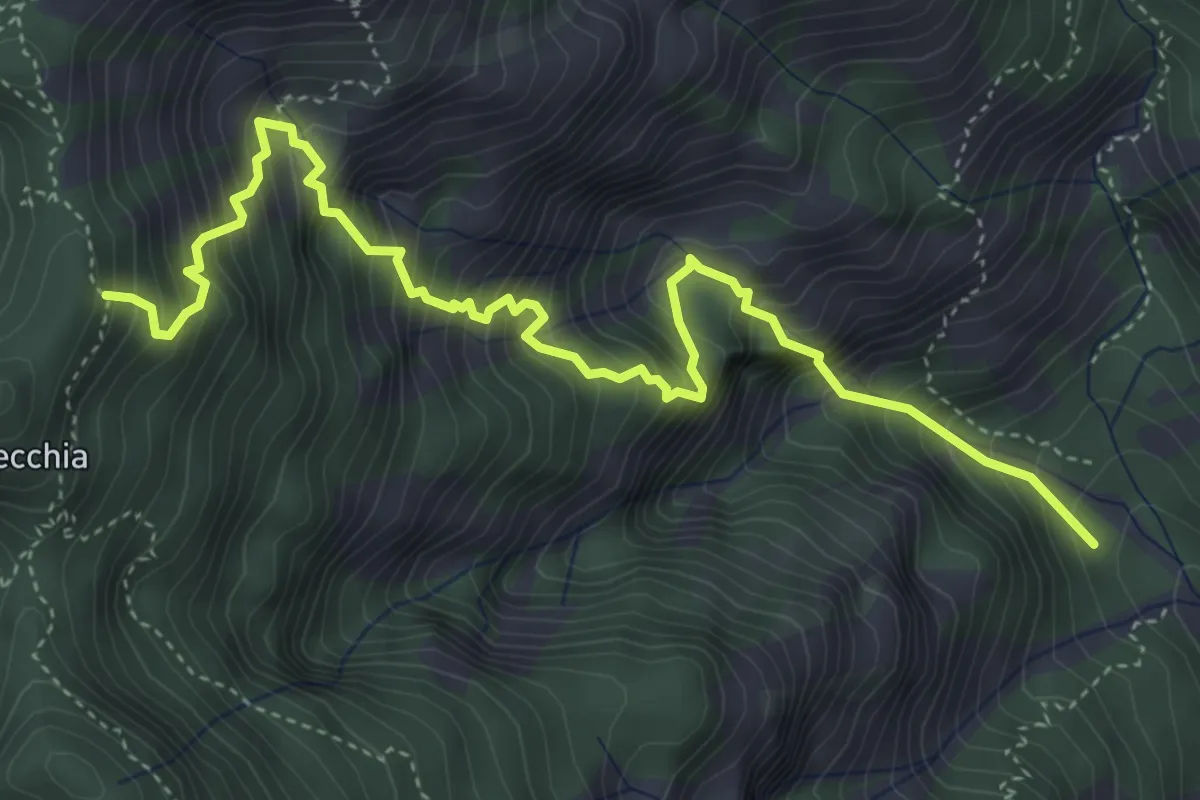
Expert · Trail
Sentiero di Faigole
5.5 km · ↑ 967 m · 3 h 24 min · 9 km away
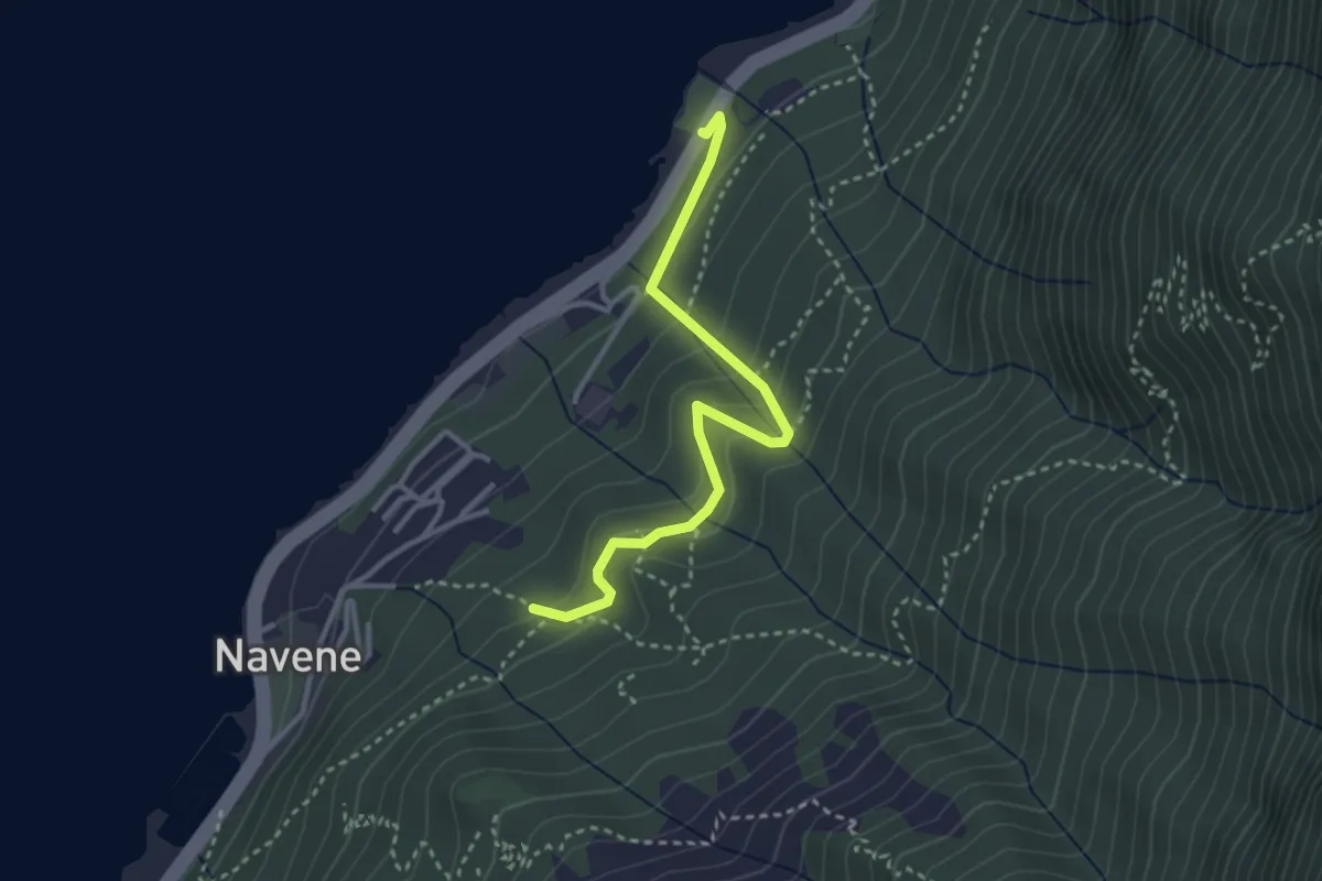
Easy · Trail
Intersezione sentiero 4 sopra Navene – Strada Regionale 249 Gardesana Orientale presso fermata autobus e parcheggio località Casello
3.2 km · ↑ 251 m · 1 h 18 min · 9 km away
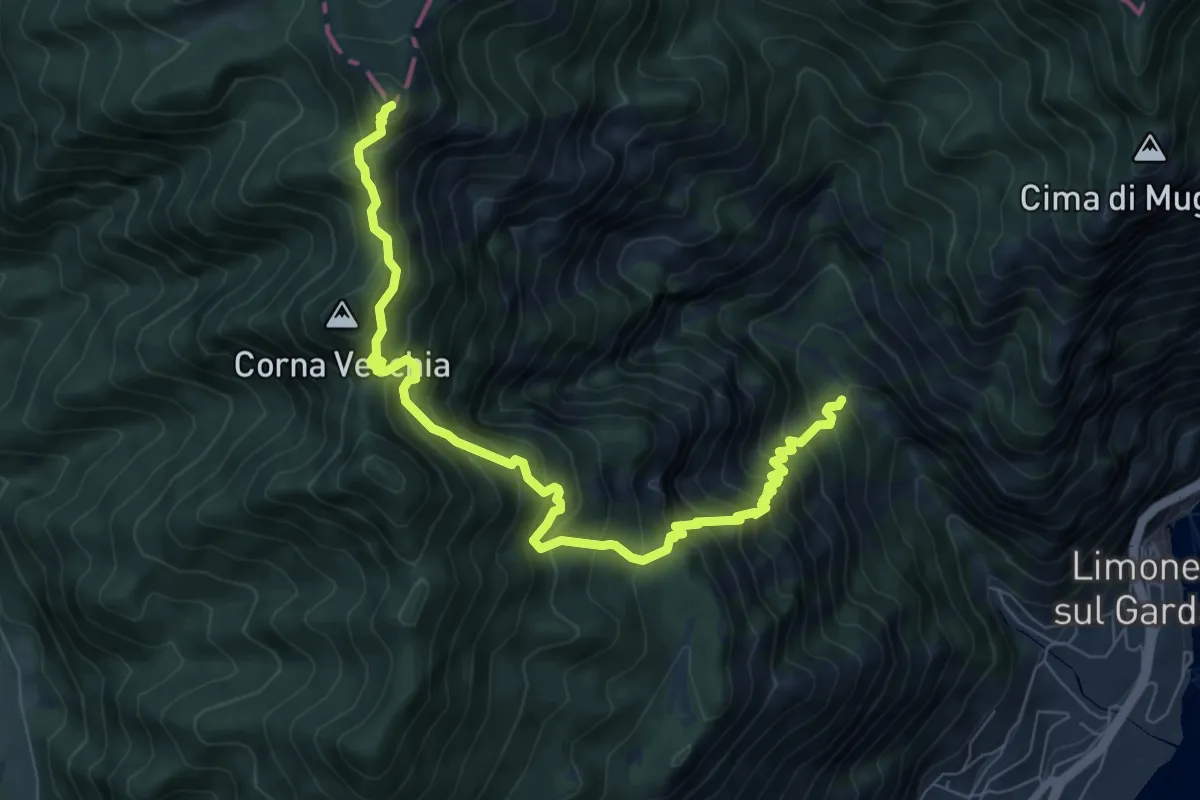
Demanding · Summit
Valle del Singol – Passo di Bestana
8.8 km · ↑ 1110 m · 4 h 29 min · 9 km away
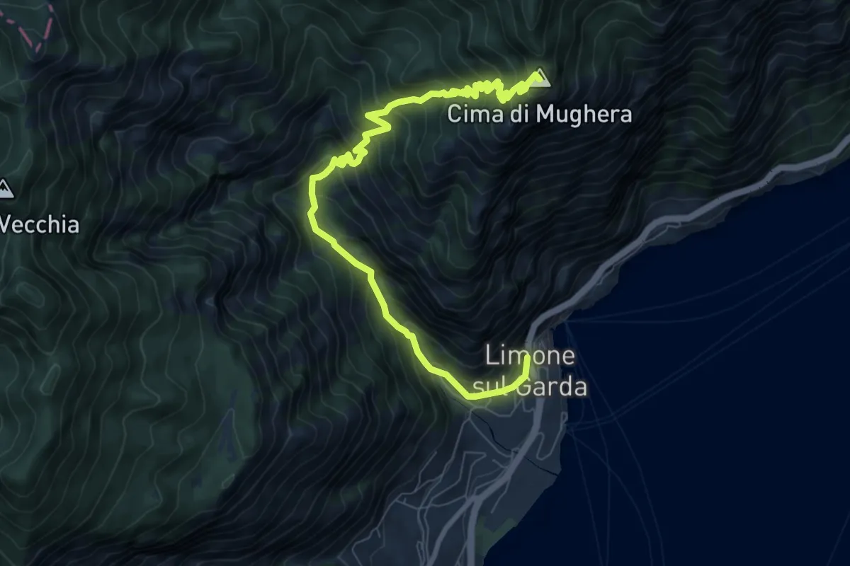
Demanding · Summit
Limone sul Garda - Cima di Mughera
9.2 km · ↑ 1021 m · 4 h 23 min · 9 km away
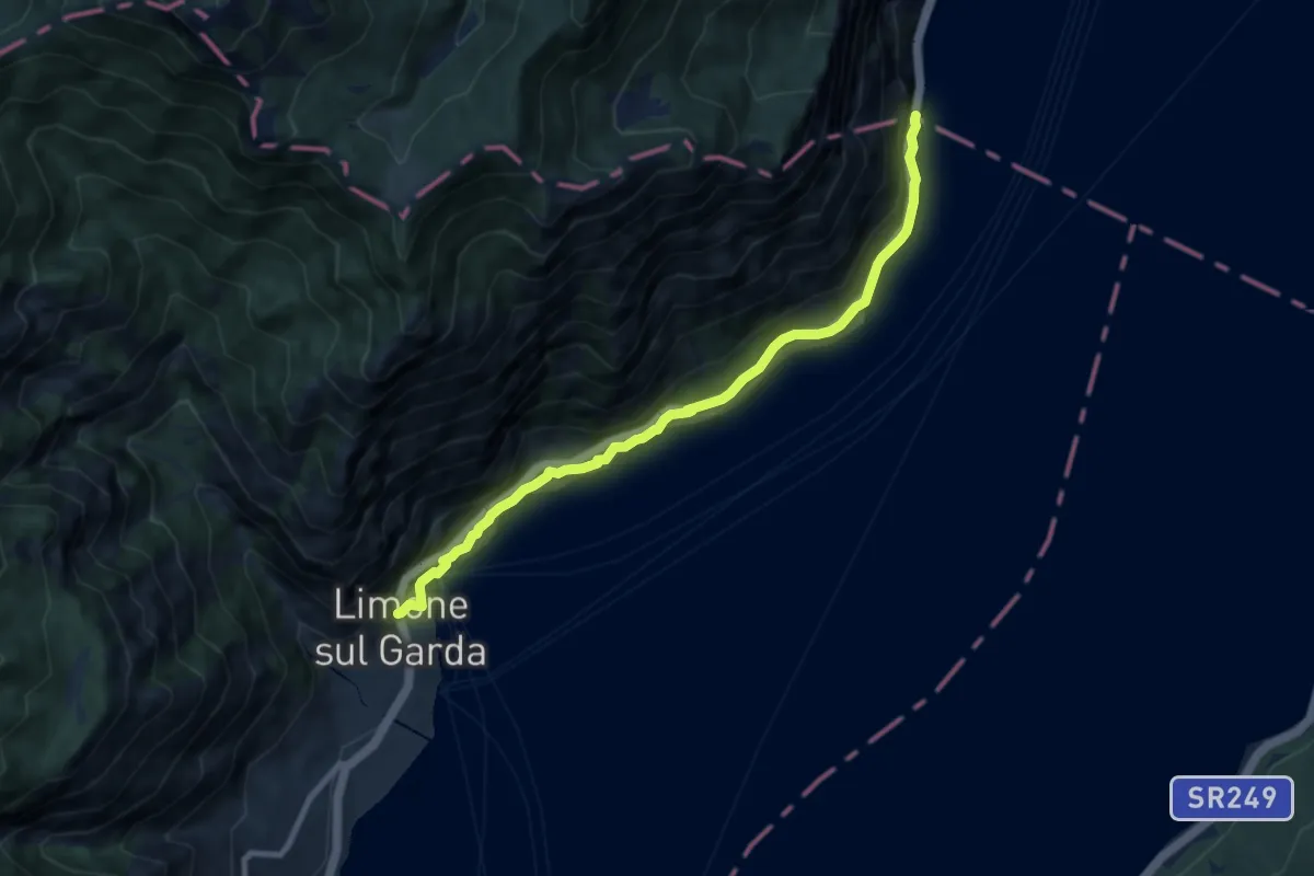
Medium · Trail
Sentiero del Sole - sud
8.5 km · ↑ 560 m · 3 h 13 min · 9 km away
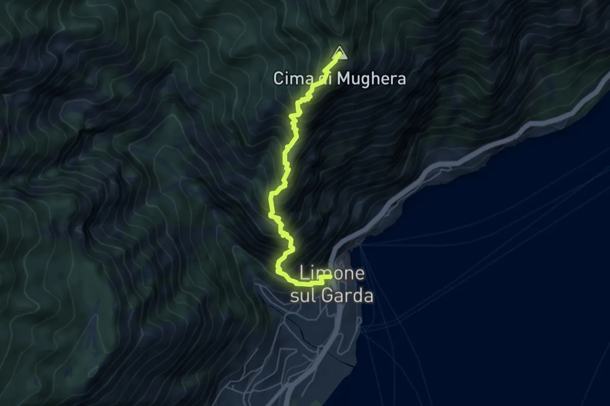
Demanding · Summit
Senter de le Greste
5.4 km · ↑ 1048 m · 3 h 32 min · 9 km away
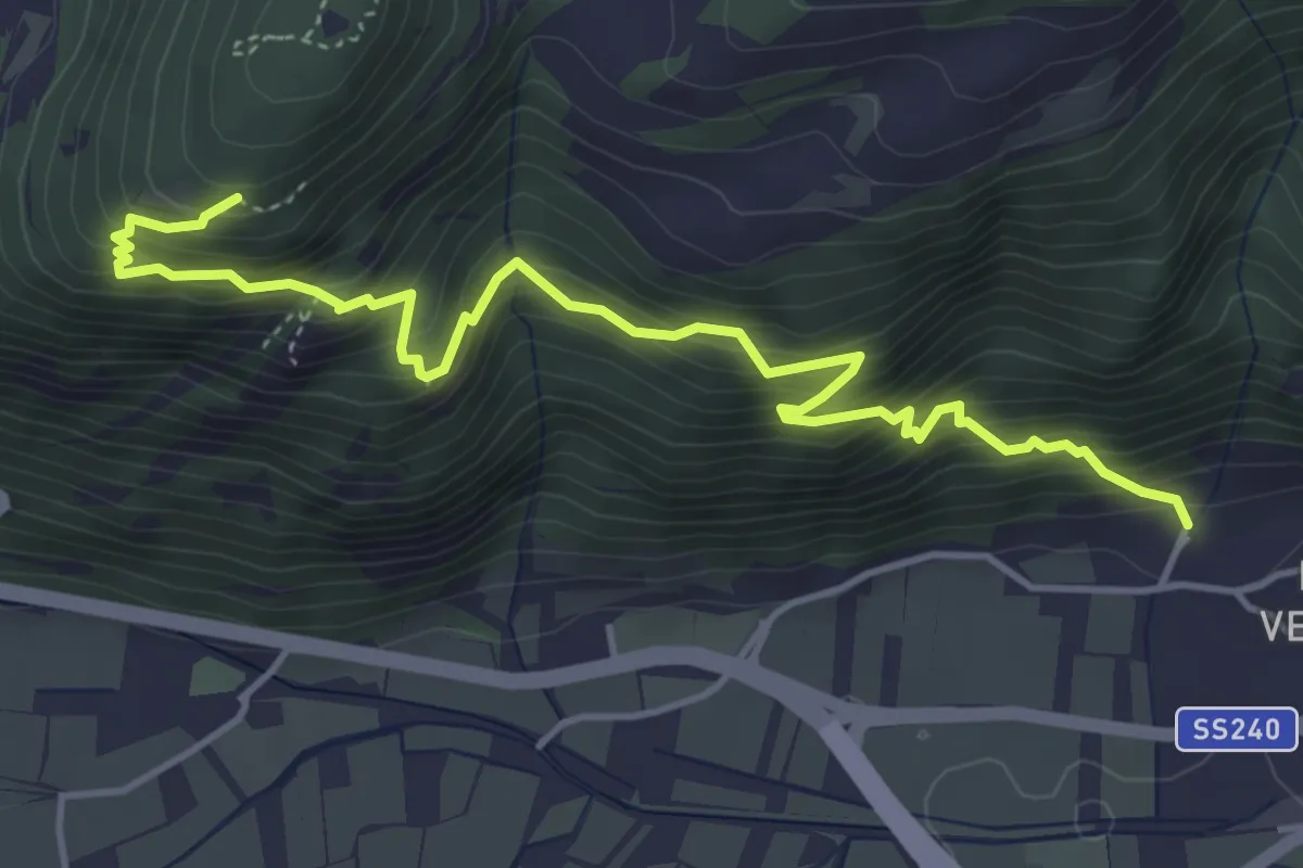
Demanding · Trail
Sentiero delle trincee
5.2 km · ↑ 652 m · 2 h 38 min · 9 km away
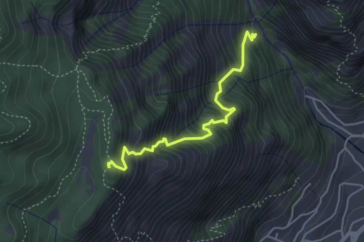
Medium · Summit
Valle del Singol – Cascina Dalco
3.6 km · ↑ 617 m · 2 h 11 min · 9 km away
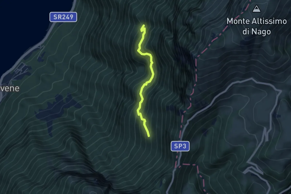
Medium · Trail
Dosso Spirano – Bocca di Navene
4.5 km · ↑ 471 m · 2 h 5 min · 9 km away
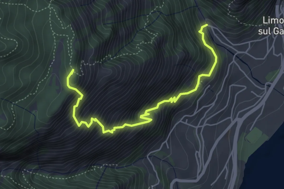
Demanding · Summit
Campaldo – Cascina Dalco
5.3 km · ↑ 829 m · 3 h 3 min · 9 km away
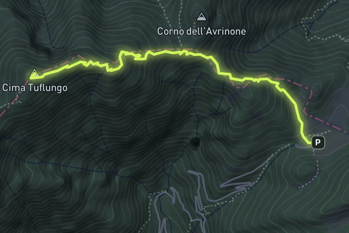
Medium · Summit
Sentiero di Tuflungo
5.4 km · ↑ 465 m · 2 h 17 min · 9 km away
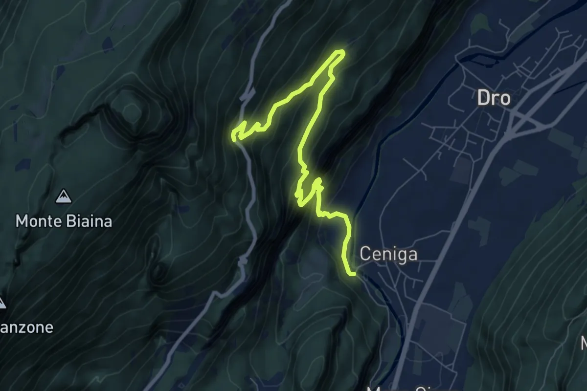
Expert · Trail
Via ferrata degli Scaloni
7.9 km · ↑ 805 m · 3 h 37 min · 9 km away
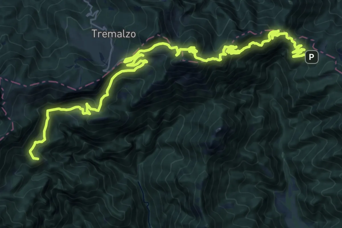
Demanding · Summit
Strada militare di Lorina
30.6 km · ↑ 2053 m · 11 h 41 min · 9 km away
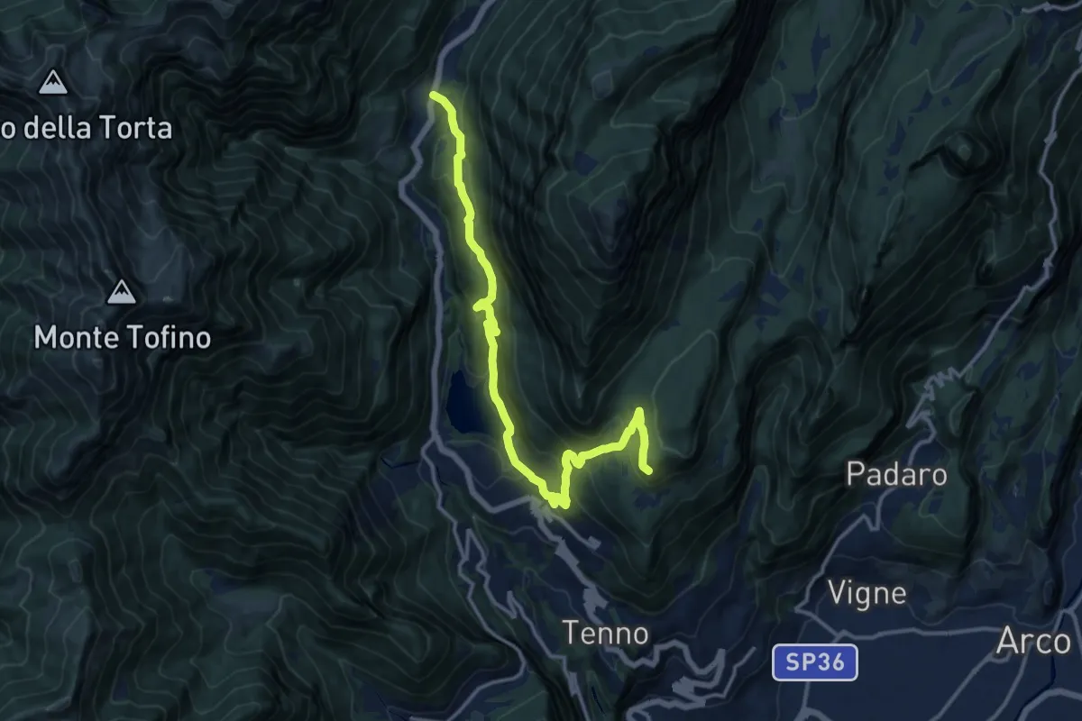
Demanding · Cabin
Ballino - chiesa – Rifugio Monte San Pietro (bivio 401)
14.5 km · ↑ 814 m · 5 h 11 min · 9 km away
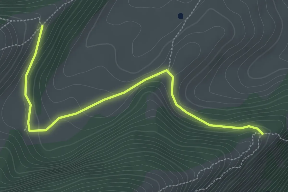
Medium · Trail
Cresta nord-est del Monticello (bivio 650) – Crinale nord del Parol
3.5 km · ↑ 93 m · 1 h 2 min · 9 km away
Medium · Trail
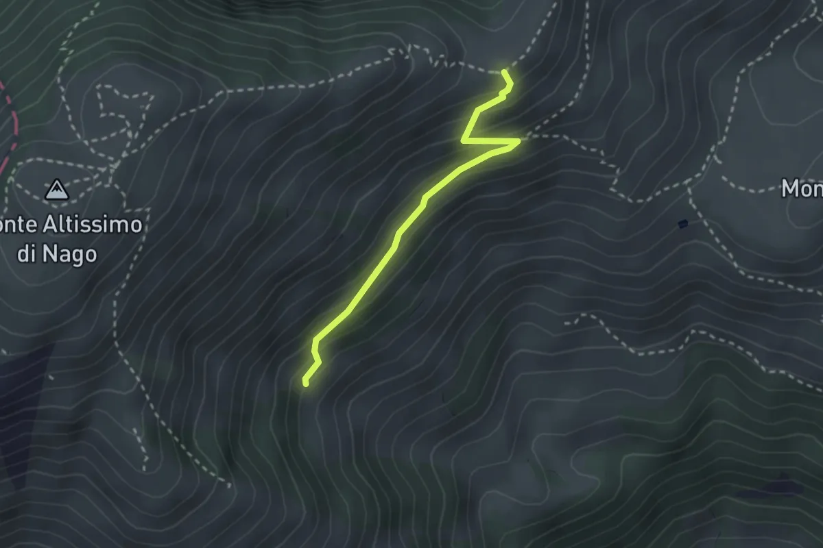
Sentiero dei Cirmoli Augusto Girardelli
2.4 km · ↑ 182 m · 57 min · 9 km away
Demanding · Summit
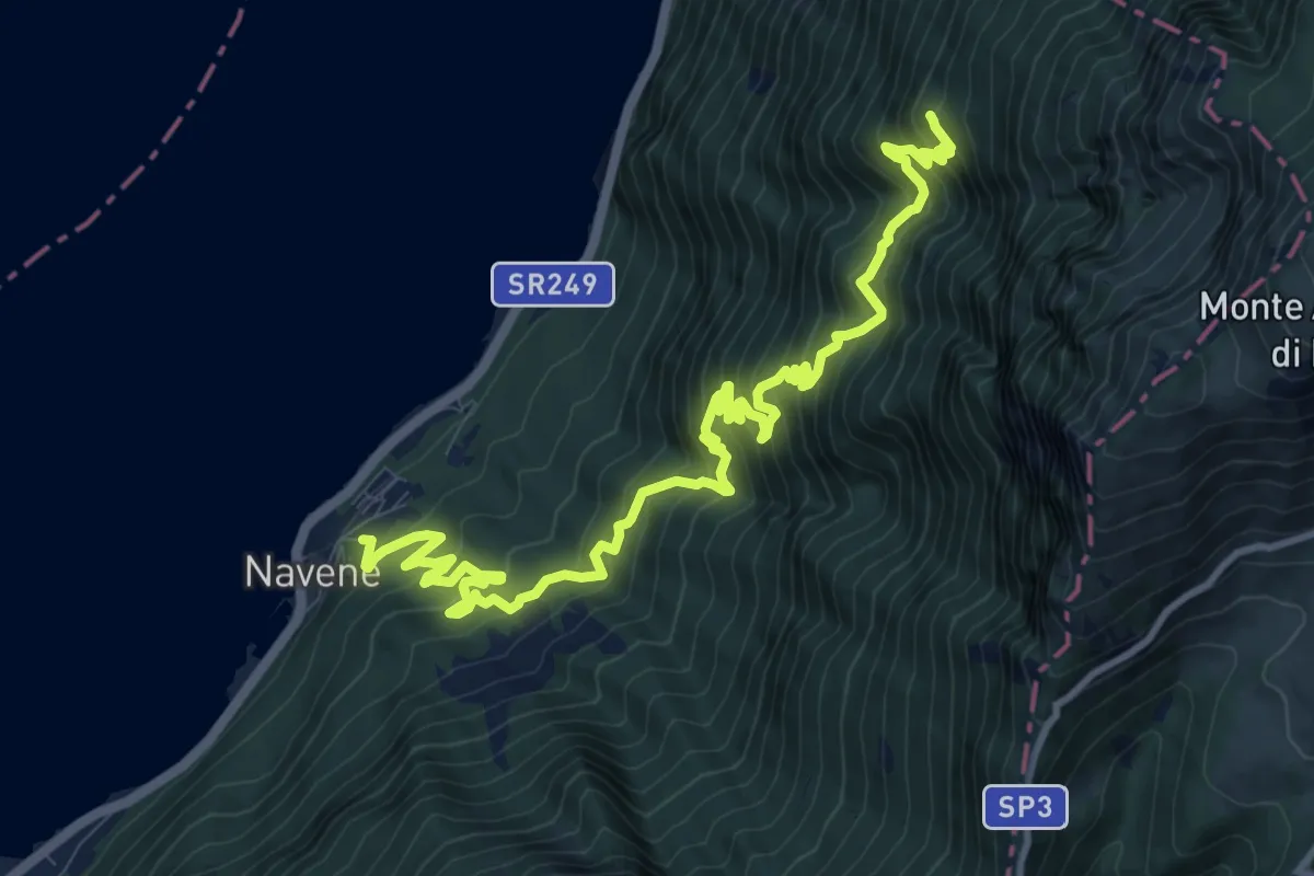
Bassa Via del Garda
14.0 km · ↑ 1480 m · 6 h 30 min · 9 km away
Medium · Trail
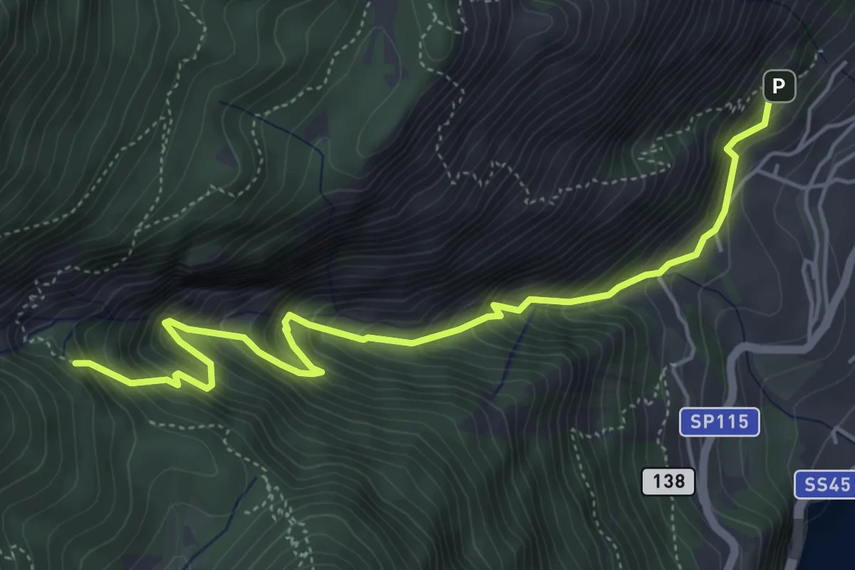
BVG, Campaldo di Limone
5.8 km · ↑ 789 m · 3 h 4 min · 9 km away
Medium · Trail
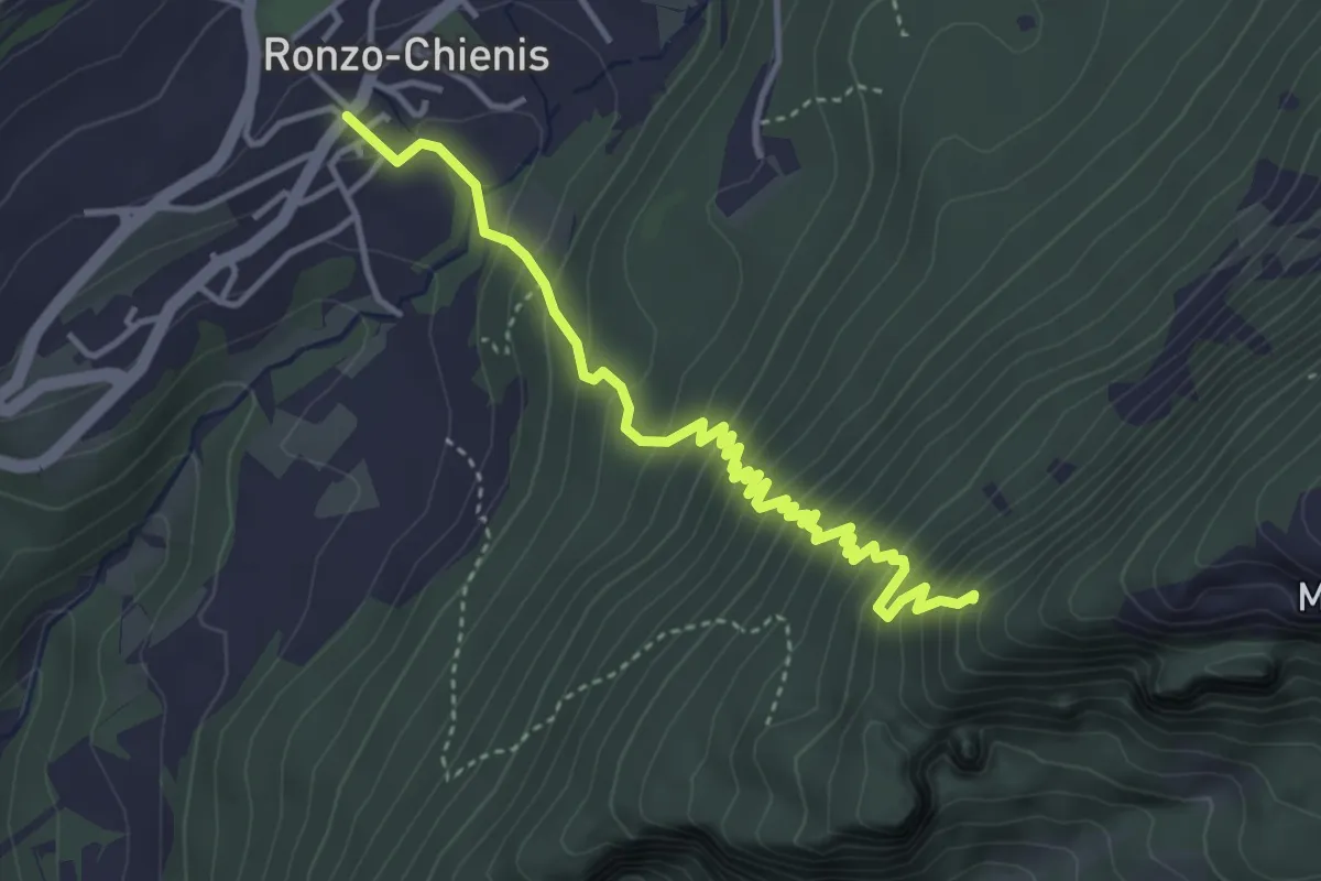
Ronzo Chienis – Incrocio strada forestale
4.4 km · ↑ 450 m · 2 h · 9 km away