Trails near Riva del Garda
199 hikes starting within 15 km, nearest first.
Nearest first, page 3 of 5
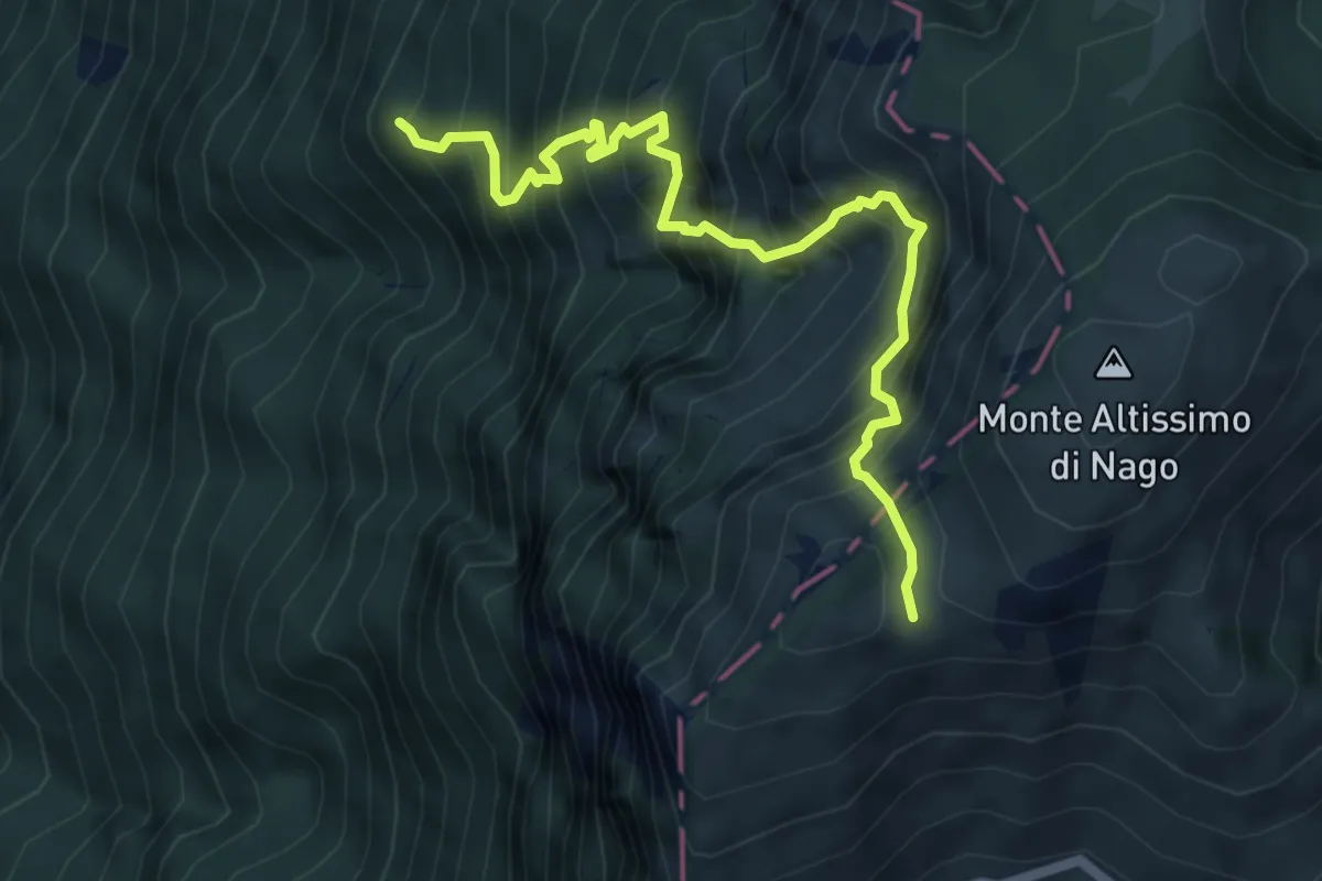
Demanding · Summit
Dosso dei Roveri - da sent. 6 – Busa Brodeghera - inn. sent. 651
6.1 km · ↑ 1204 m · 4 h 3 min · 9 km away
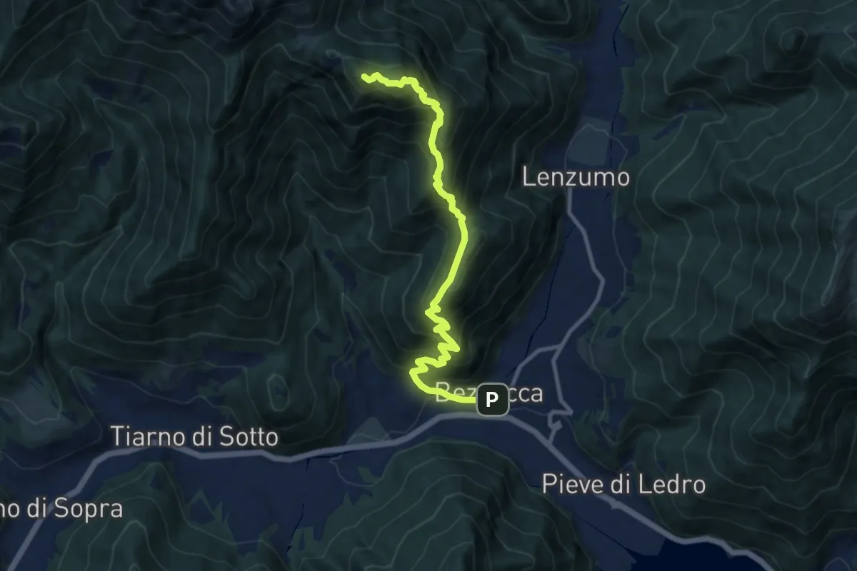
Demanding · Summit
Sentér de Chelina
10.1 km · ↑ 1087 m · 4 h 45 min · 9 km away
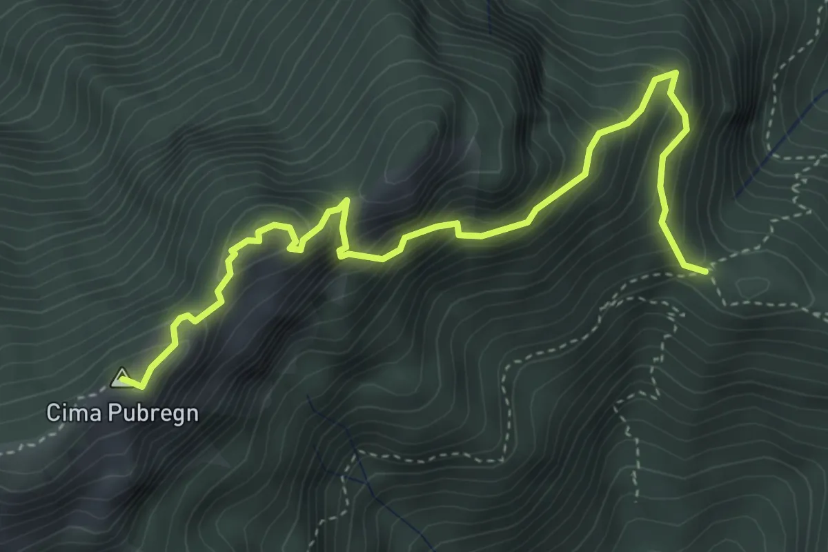
Expert · Summit
Via ferrata "Fiore Mora" e "Mauro Pellegrini"
4.7 km · ↑ 552 m · 2 h 18 min · 9 km away
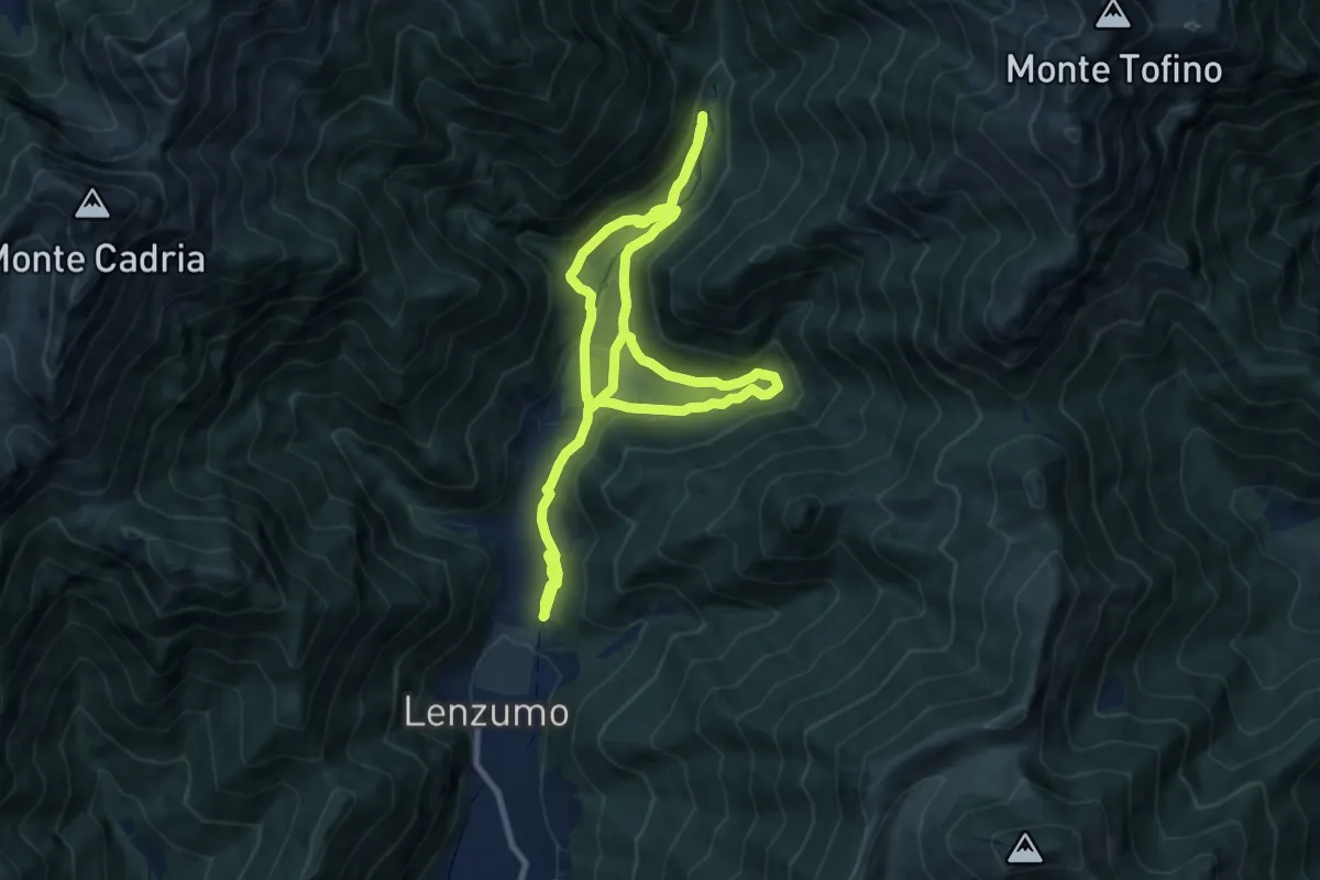
Medium · Trail
Sentiero naturalistico di fondovalle
8.4 km · ↑ 229 m · 2 h 37 min · 10 km away
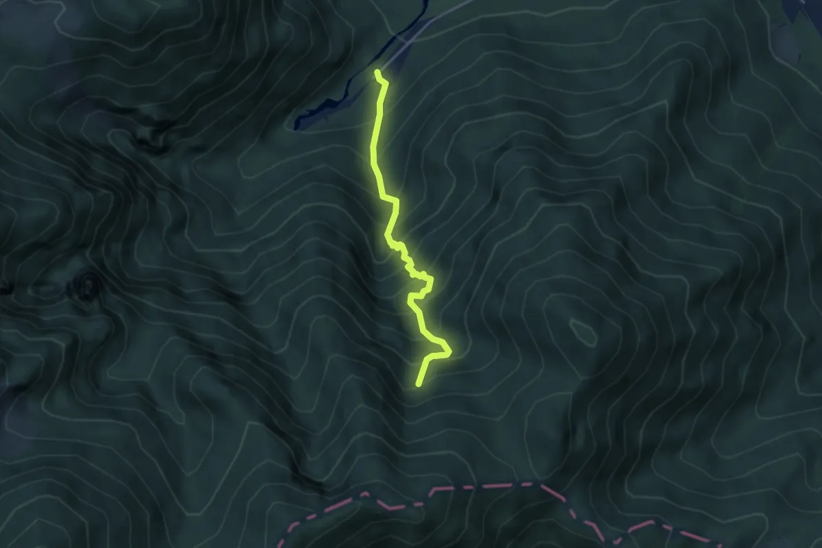
Medium · Trail
Sentér de Malga Cor
3.5 km · ↑ 560 m · 2 h 2 min · 10 km away
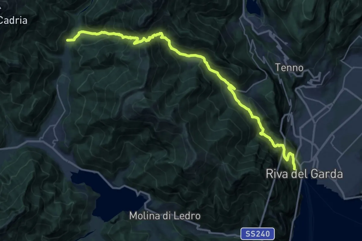
Demanding · Trail
Presso Bastione (bivio 404) – Pastoria - Val di Concei
13.1 km · ↑ 834 m · 5 h 25 min · 10 km away
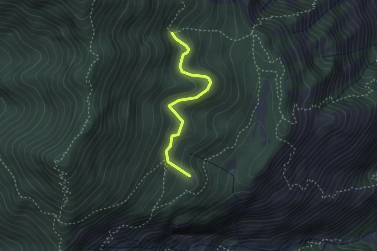
Easy · Summit
Degà – Incrocio Percorso 102
2.6 km · ↑ 196 m · 1 h 3 min · 10 km away
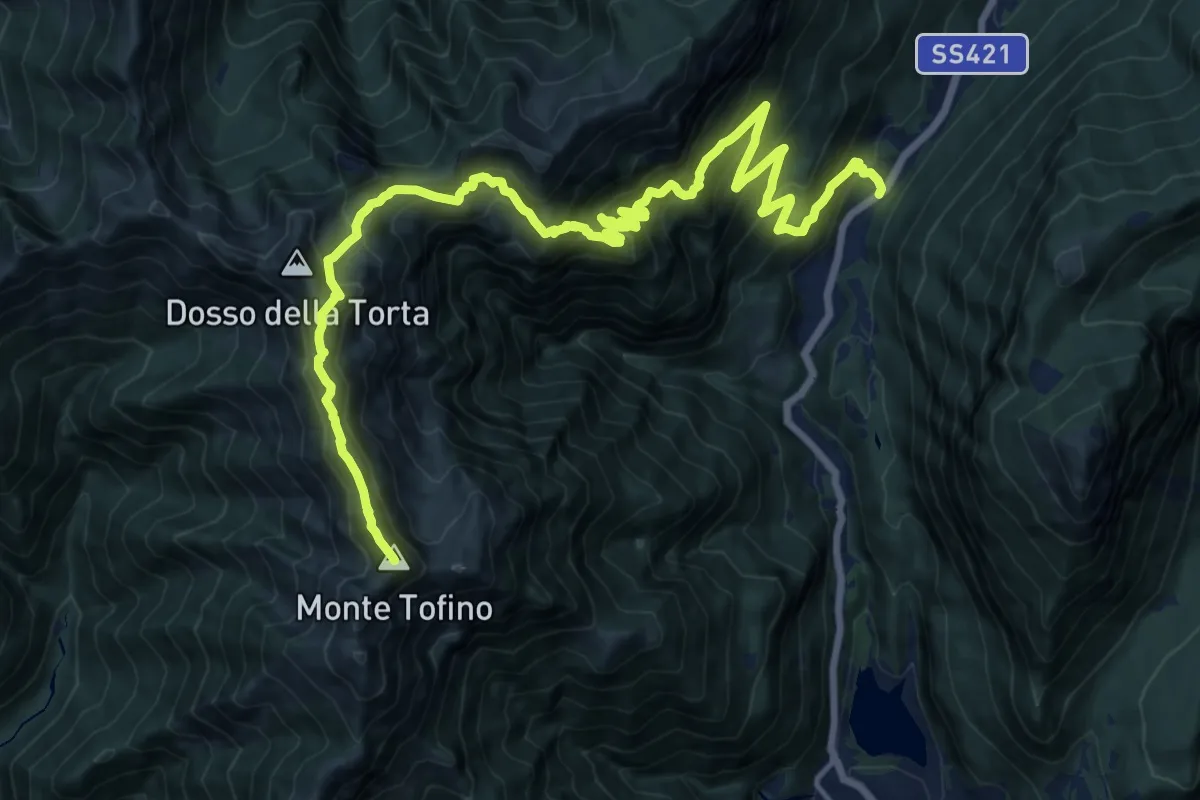
Demanding · Summit
Presso Passo del Ballino – Presso Bocca di Trat (bivio 402 - 402A - 403 - 413 - 445)
21.8 km · ↑ 2006 m · 9 h 29 min · 10 km away
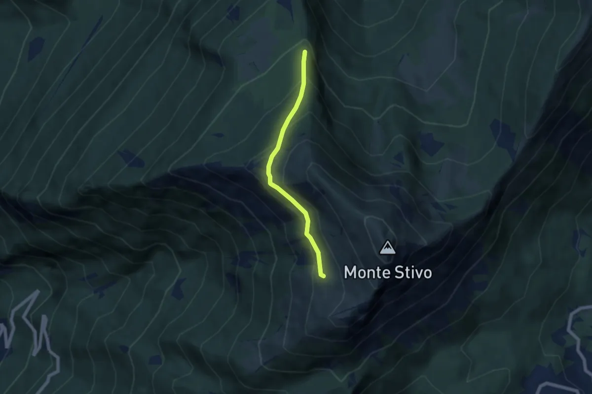
Medium · Trail
Scaletta - crocifisso (bivio 666) – Presso Malga Stivo (bivio 608)
4.6 km · ↑ 345 m · 1 h 50 min · 10 km away
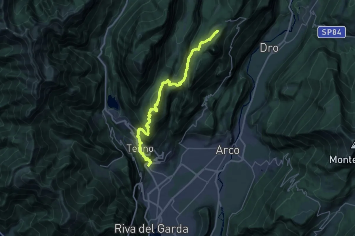
Demanding · Summit
Varone - Via Carducci – Prai da Gom (bivio 407)
11.2 km · ↑ 302 m · 3 h 56 min · 10 km away
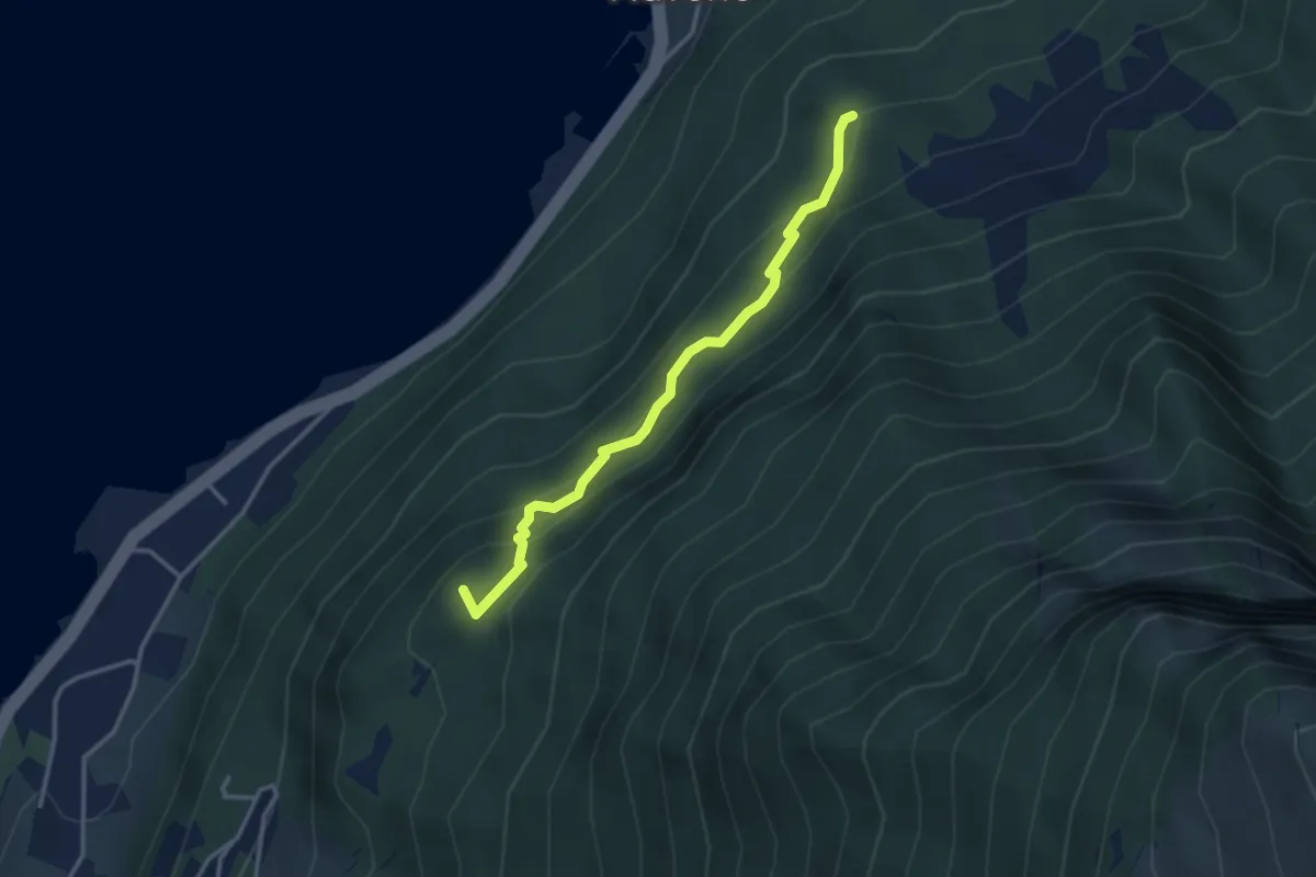
Medium · Summit
Malcesine – dopo Dosso del Merlo - inn. sent. 634
3.2 km · ↑ 289 m · 1 h 23 min · 10 km away
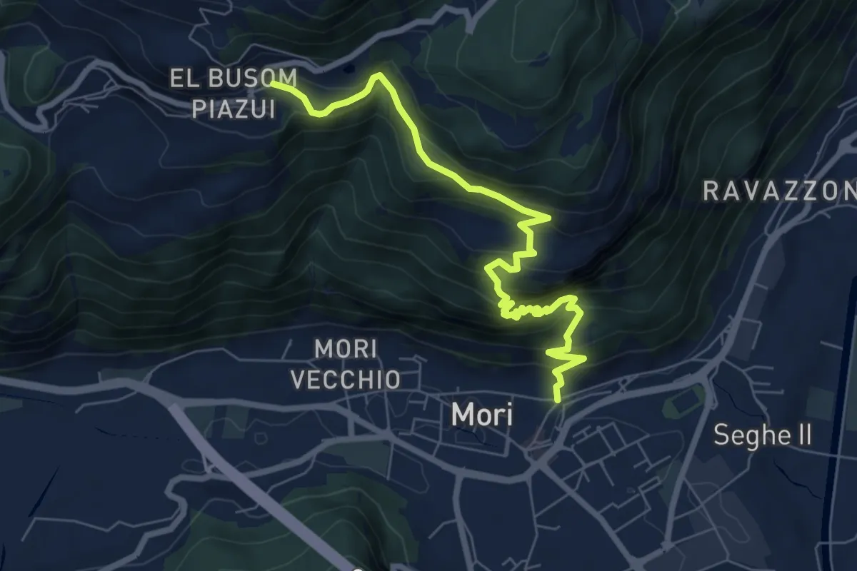
Demanding · Trail
Mori - Vicolo Zocchel – Nomesino
7.5 km · ↑ 832 m · 3 h 35 min · 10 km away
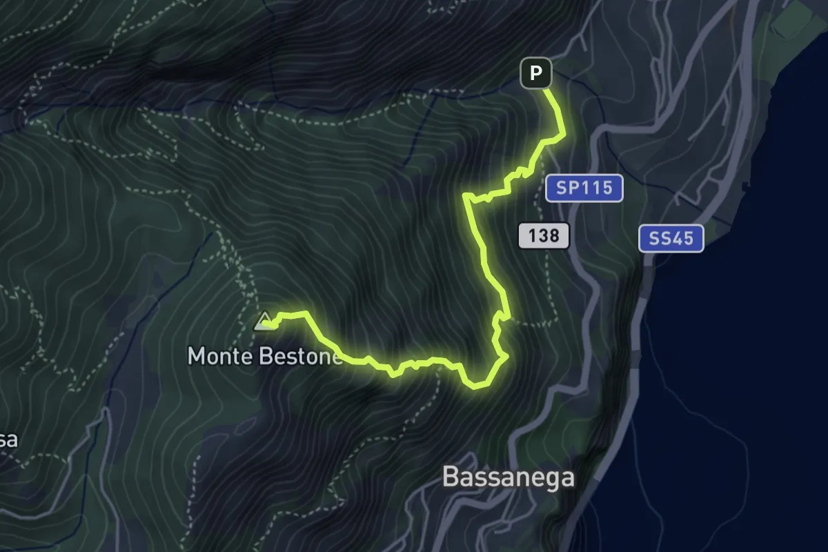
Expert · Summit
Senter de le Farfale
4.6 km · ↑ 765 m · 2 h 44 min · 10 km away
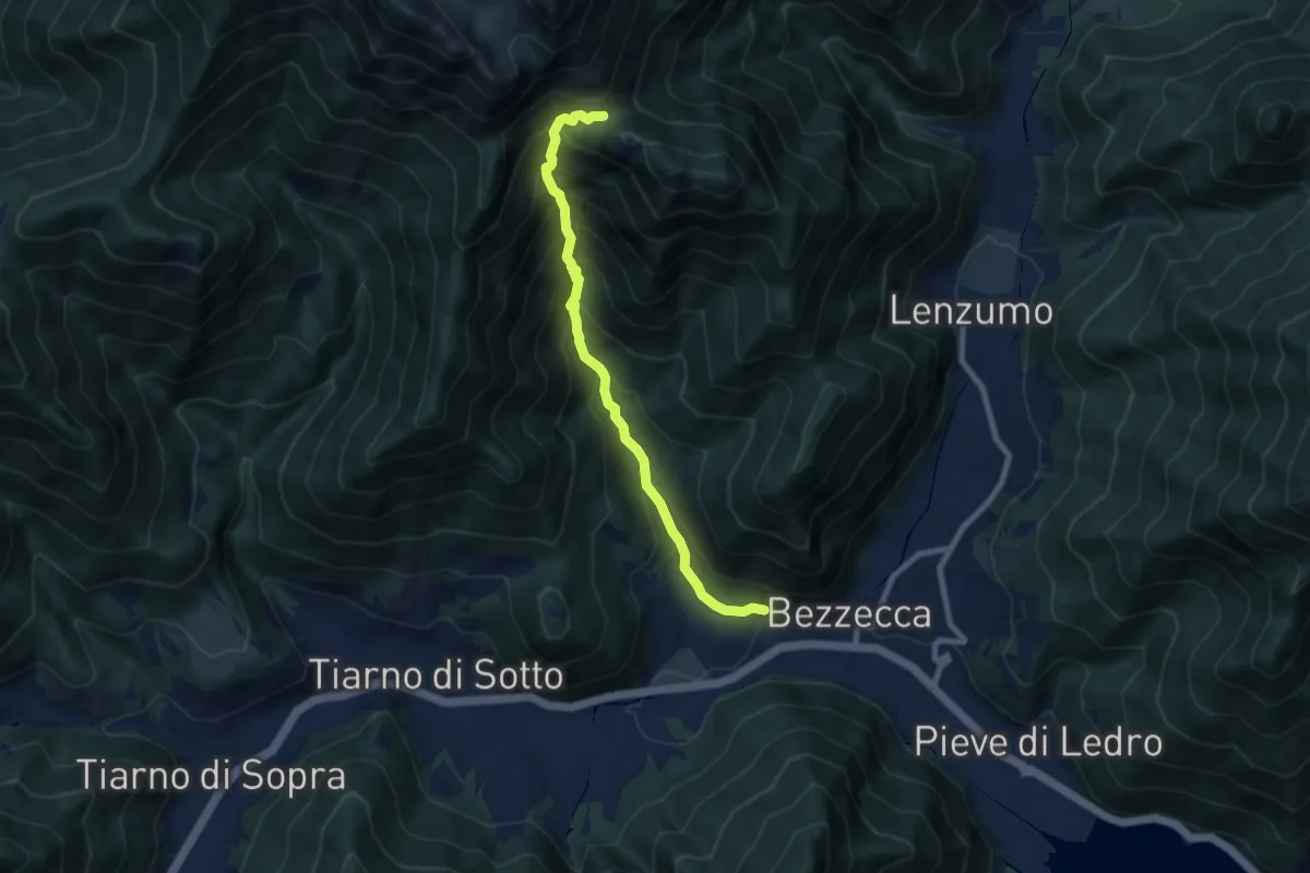
Demanding · Trail
Senter dei Canai
7.8 km · ↑ 838 m · 3 h 39 min · 10 km away
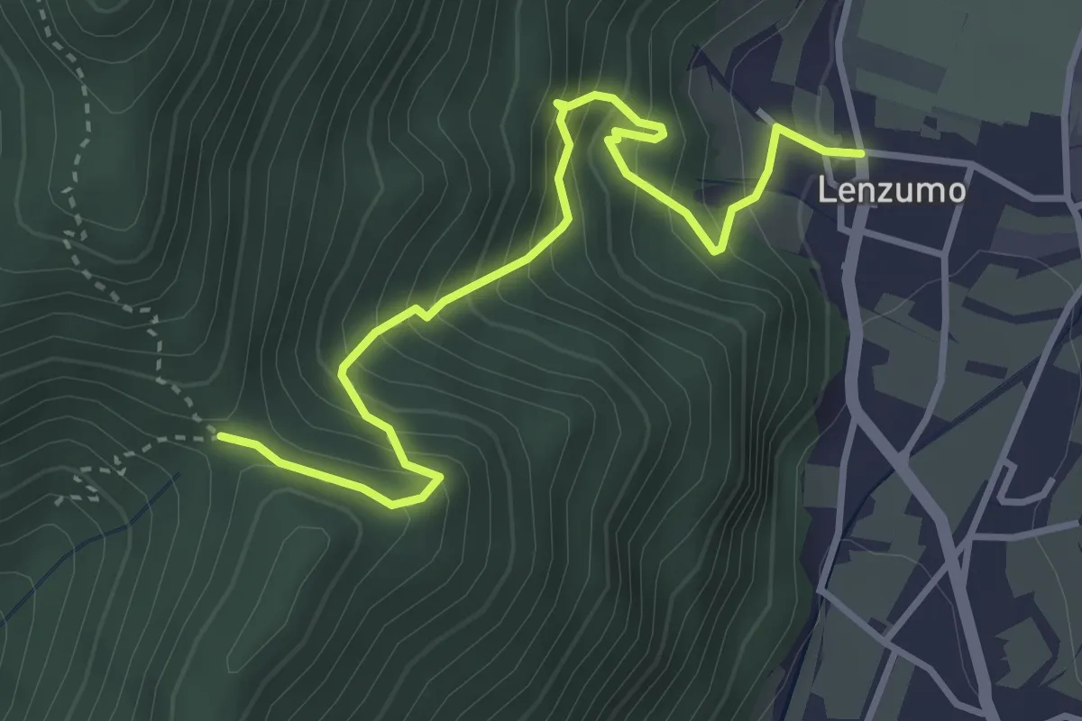
Medium · Trail
Lenzumo – Bochet de Zori (bivio O459)
3.9 km · ↑ 521 m · 2 h 3 min · 10 km away
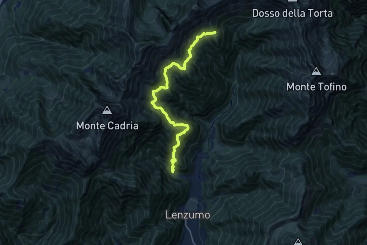
Demanding · Trail
Sentér de le Baite
13.4 km · ↑ 1256 m · 5 h 54 min · 10 km away
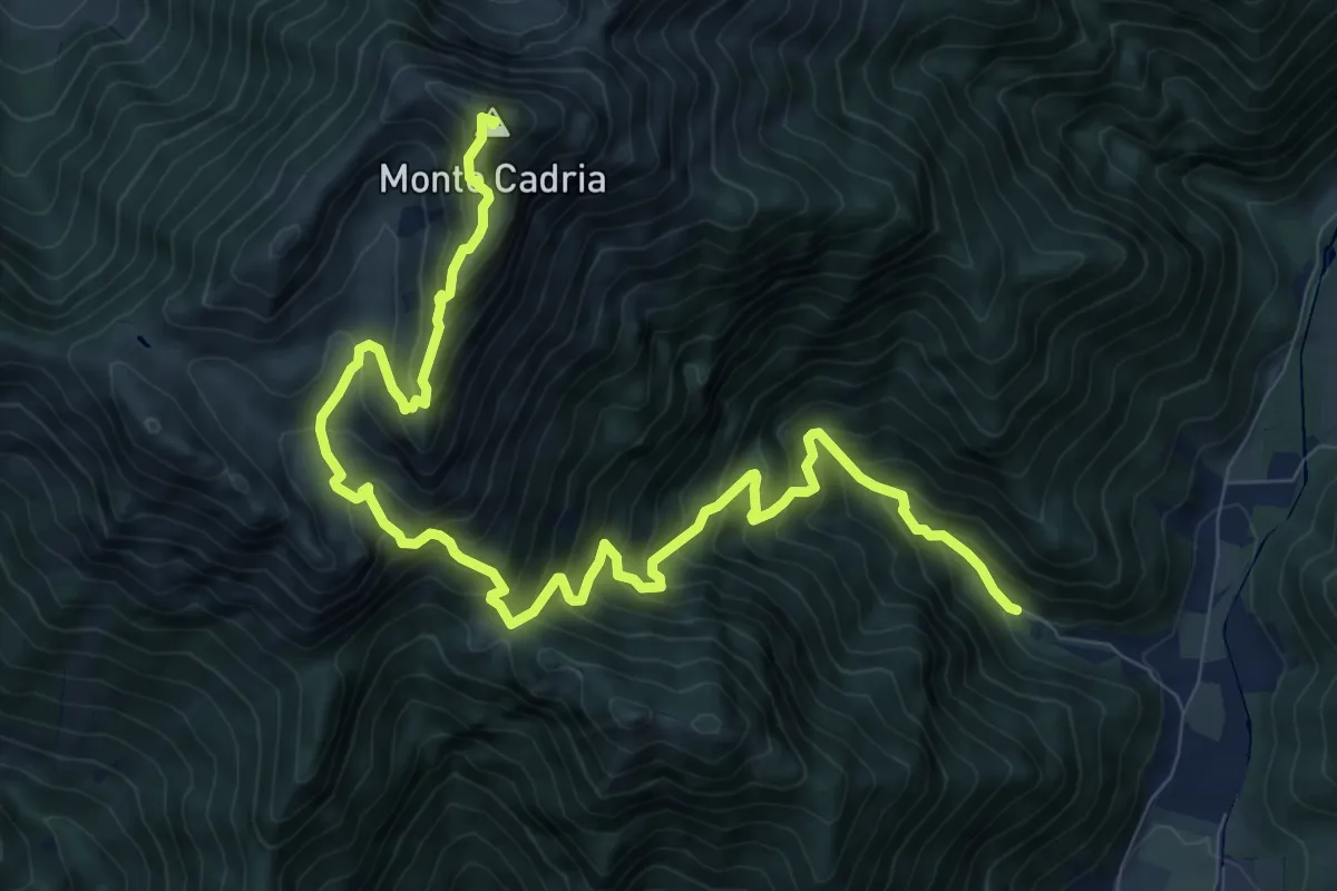
Demanding · Summit
Senter de Vies
12.4 km · ↑ 1276 m · 5 h 42 min · 10 km away
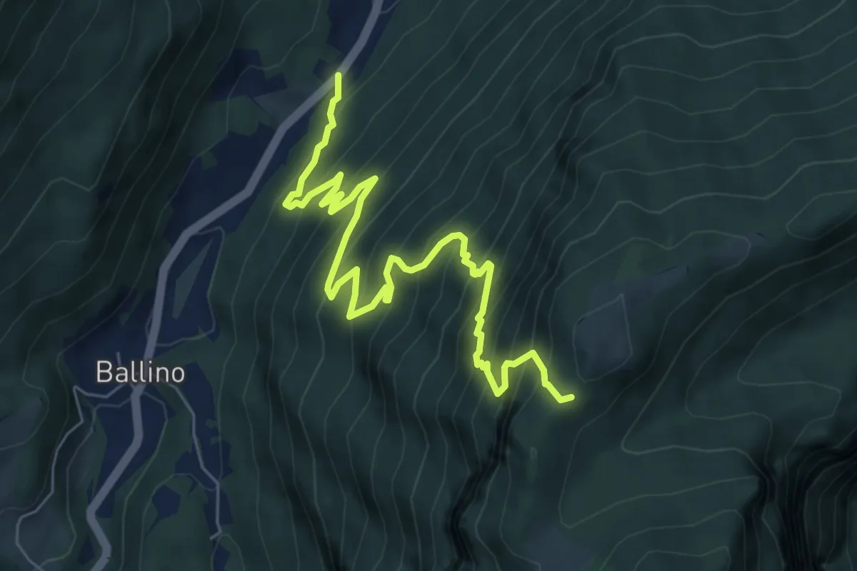
Demanding · Trail
Passo Ballino - Strada Statale 421 dei laghi di Molveno e Tenno al Km 48,2 – Calcherola (bivio 433)
8.0 km · ↑ 853 m · 3 h 44 min · 10 km away
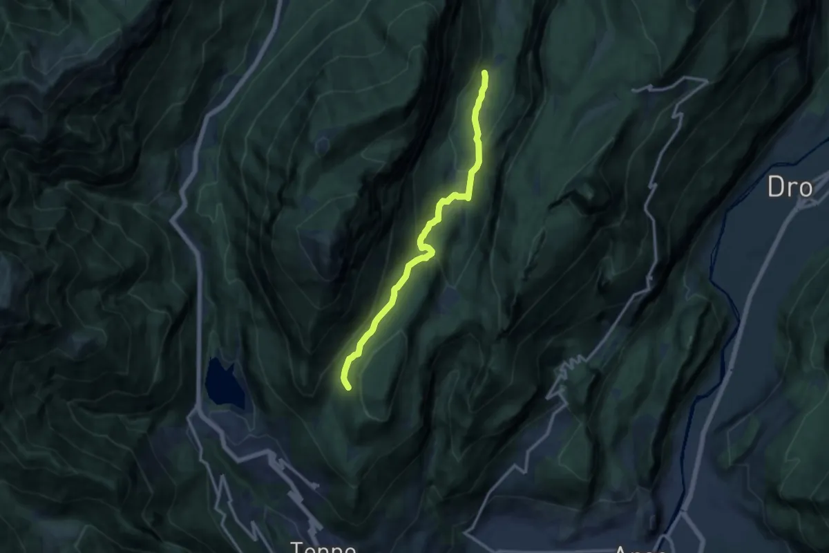
Medium · Trail
Ex Malga Lomasone – Calino (bivio O406)
10.5 km · ↑ 490 m · 3 h 33 min · 10 km away
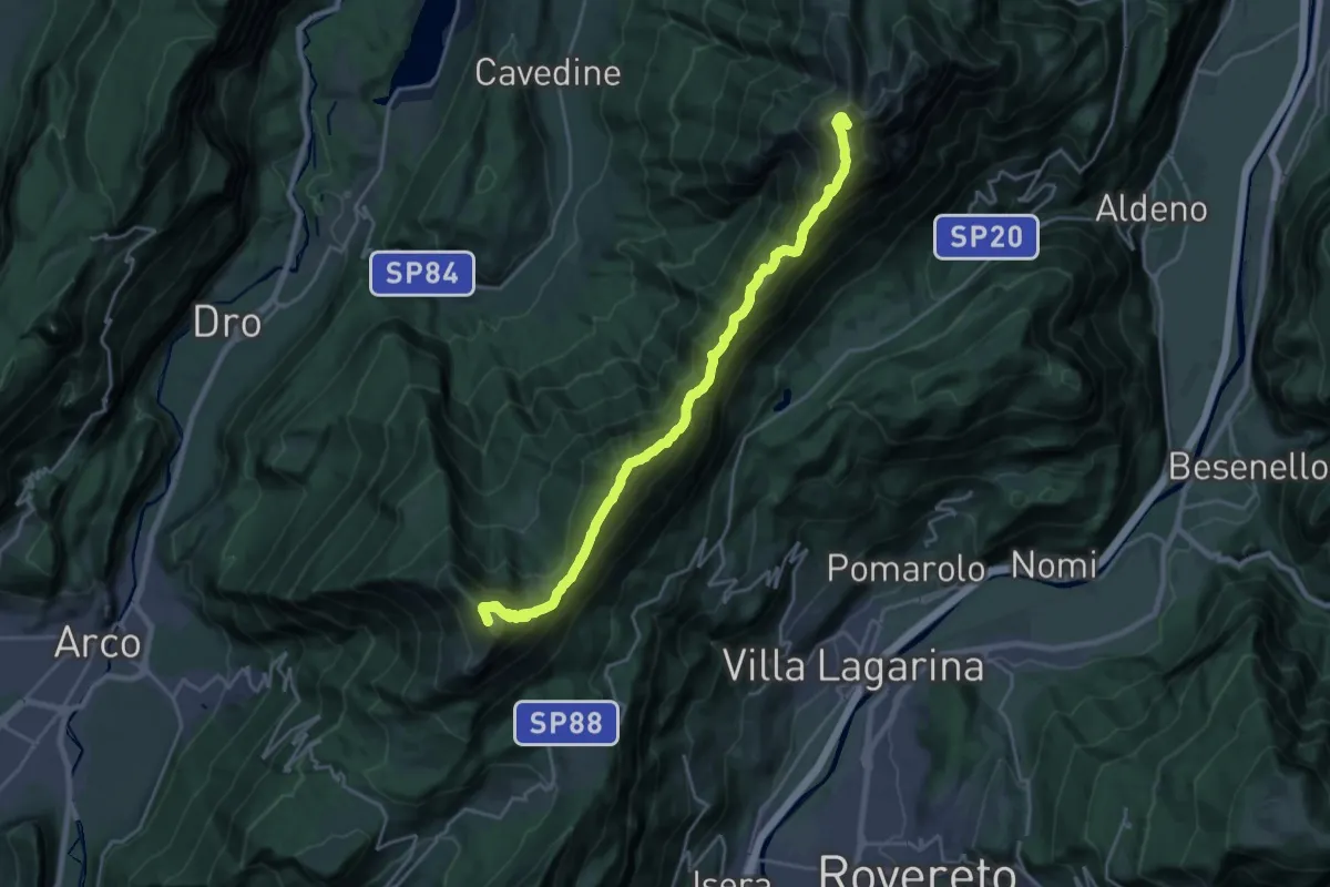
Demanding · Summit
Rifugio Stivo "Prospero Marchetti" (bivio 608 - 617B) – Versante nord Cima Cornetto (bivio 607 - 636)
22.8 km · ↑ 1865 m · 9 h 25 min · 10 km away
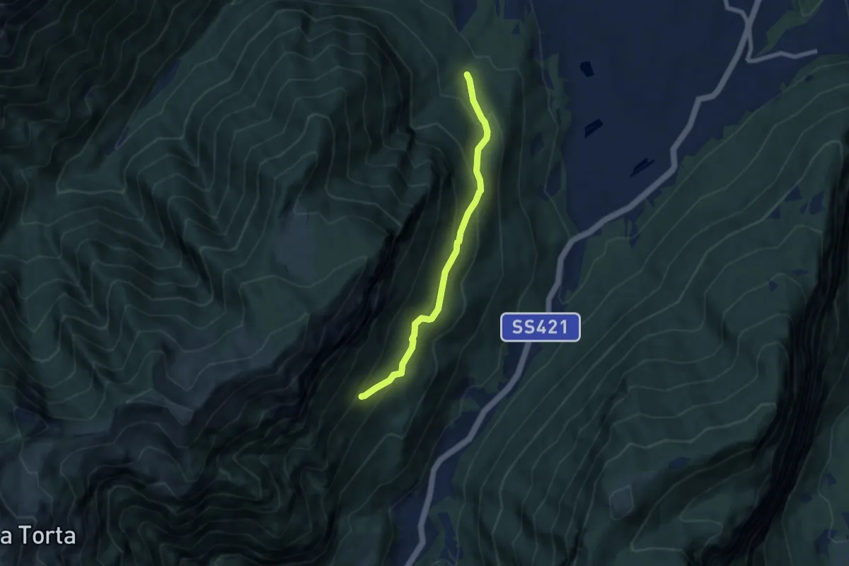
Medium · Trail
Le Corde - presso Duinella (bivio 461) – Coste alte di Indos (bivio 420)
6.3 km · ↑ 392 m · 2 h 21 min · 10 km away
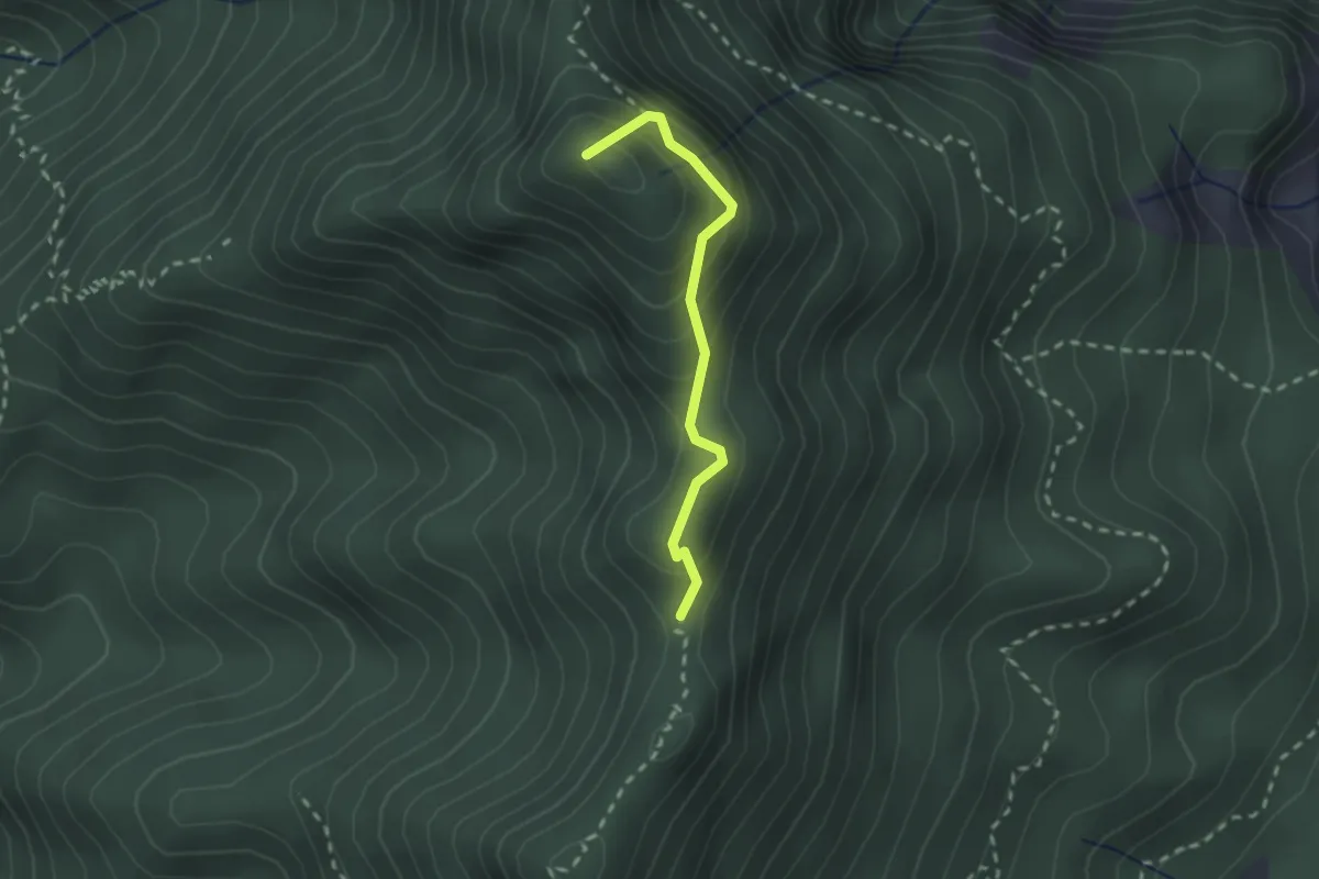
Demanding · Summit
Punta della Brosa - Corna Vecchia
2.0 km · ↑ 177 m · 51 min · 10 km away
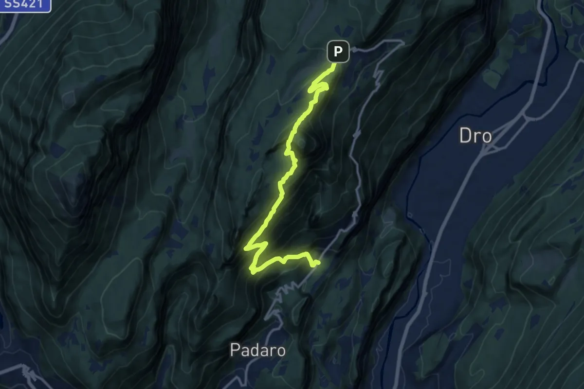
Demanding · Trail
Mandrea (bivio 408) – Marcarie (bivio 425)
12.8 km · ↑ 1368 m · 6 h · 10 km away
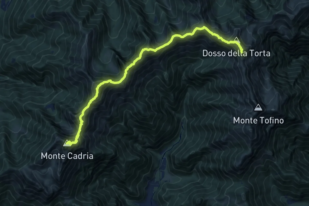
Demanding · Summit
Sentiero della Pace
17.1 km · ↑ 1757 m · 7 h 50 min · 10 km away
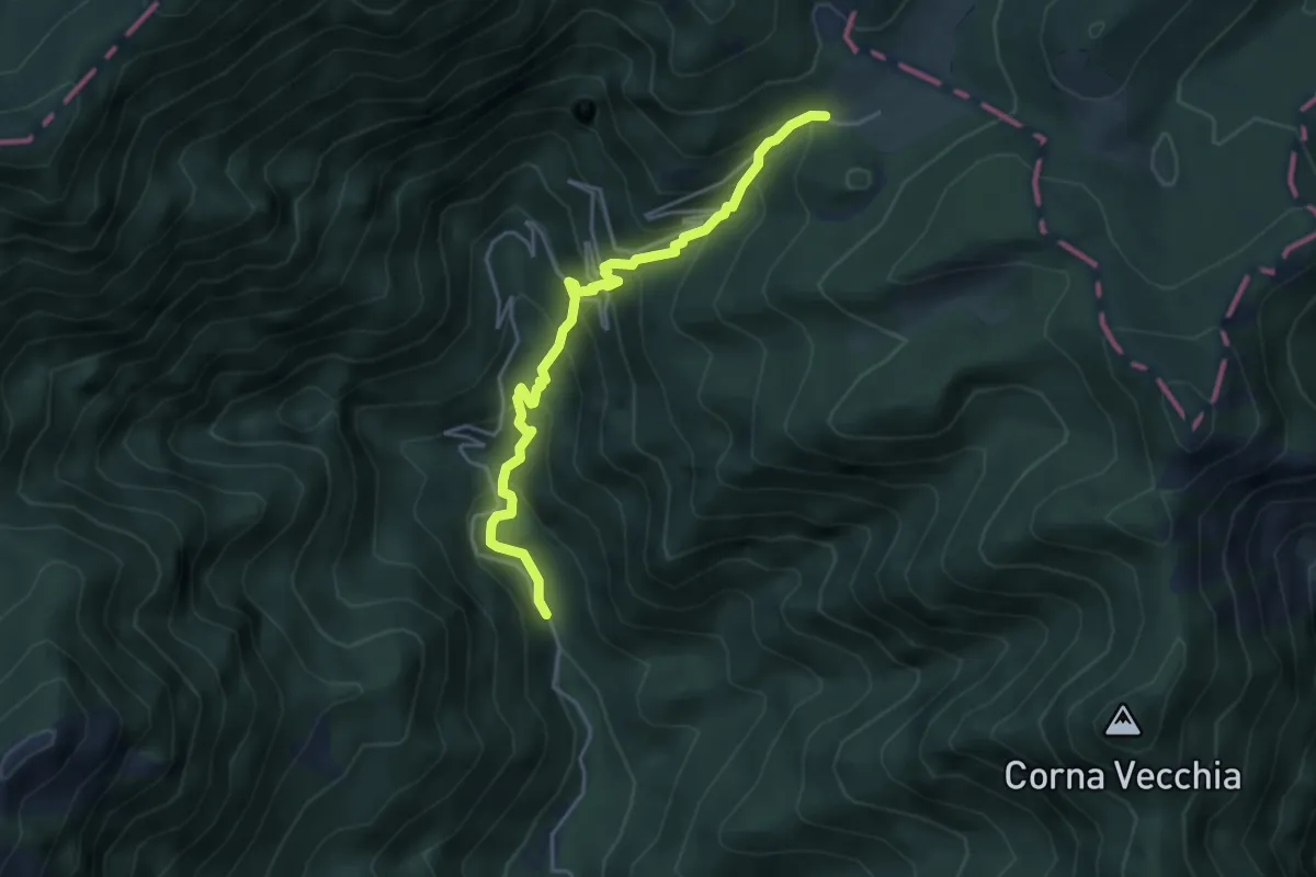
Medium · Cabin
Sentiero dell'Acqua Benedetta
4.4 km · ↑ 464 m · 2 h 3 min · 10 km away
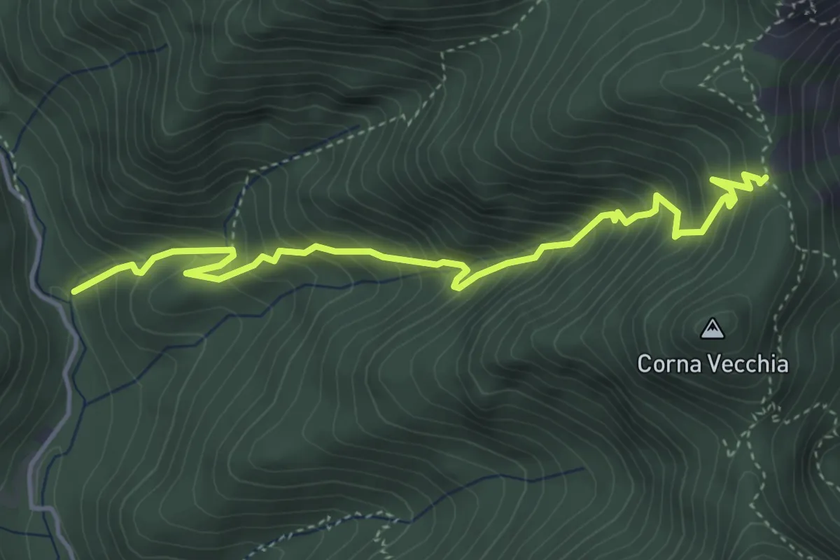
Medium · Trail
Tregadone piccola
4.7 km · ↑ 661 m · 2 h 32 min · 11 km away
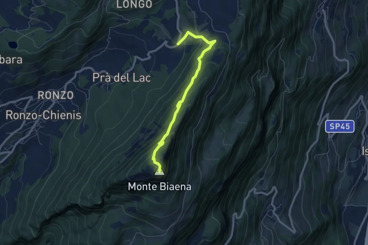
Demanding · Summit
Sentiero attrezzato de le Laste
6.0 km · ↑ 439 m · 2 h 22 min · 11 km away
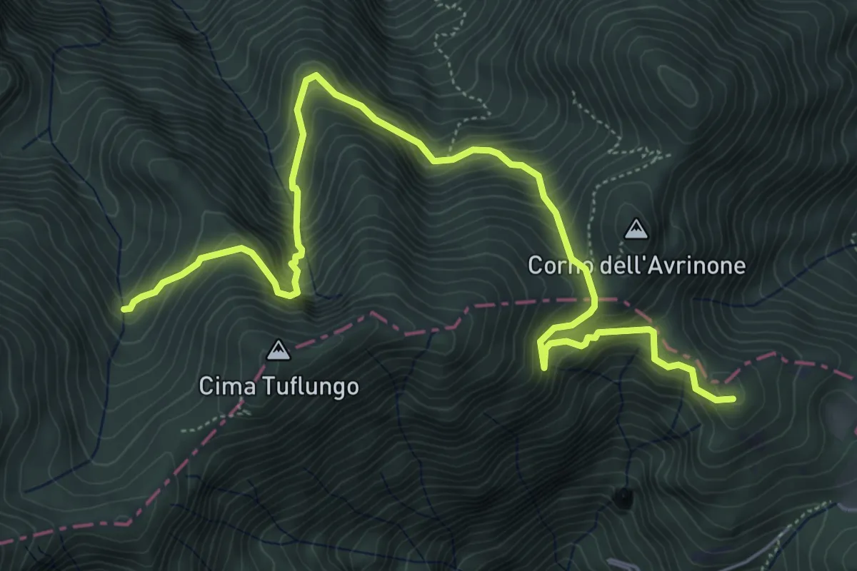
Medium · Summit
Sentér del Prà della Rosa
7.2 km · ↑ 701 m · 3 h 13 min · 11 km away
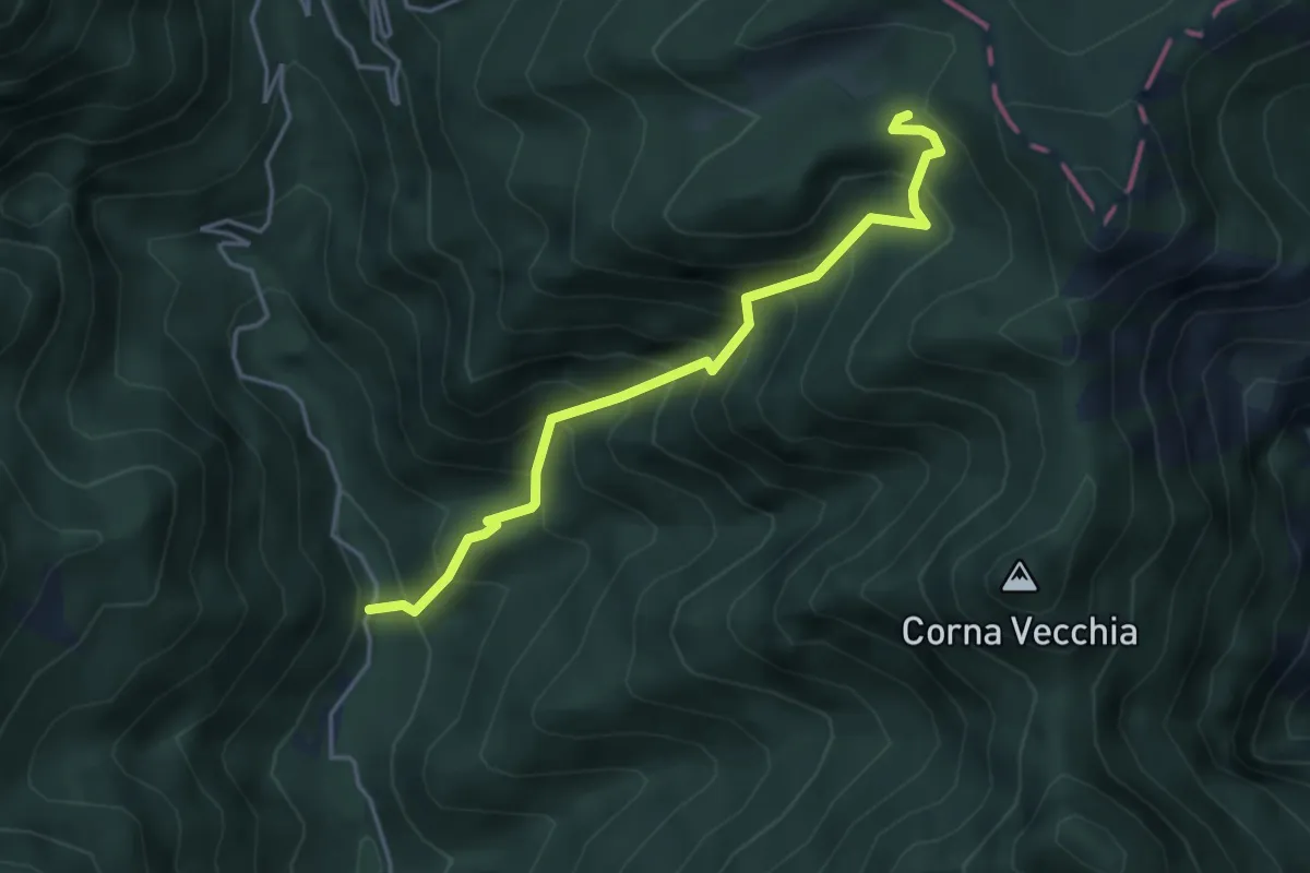
Medium · Trail
Val di Bondo – Strada militare 106
4.2 km · ↑ 552 m · 2 h 11 min · 11 km away
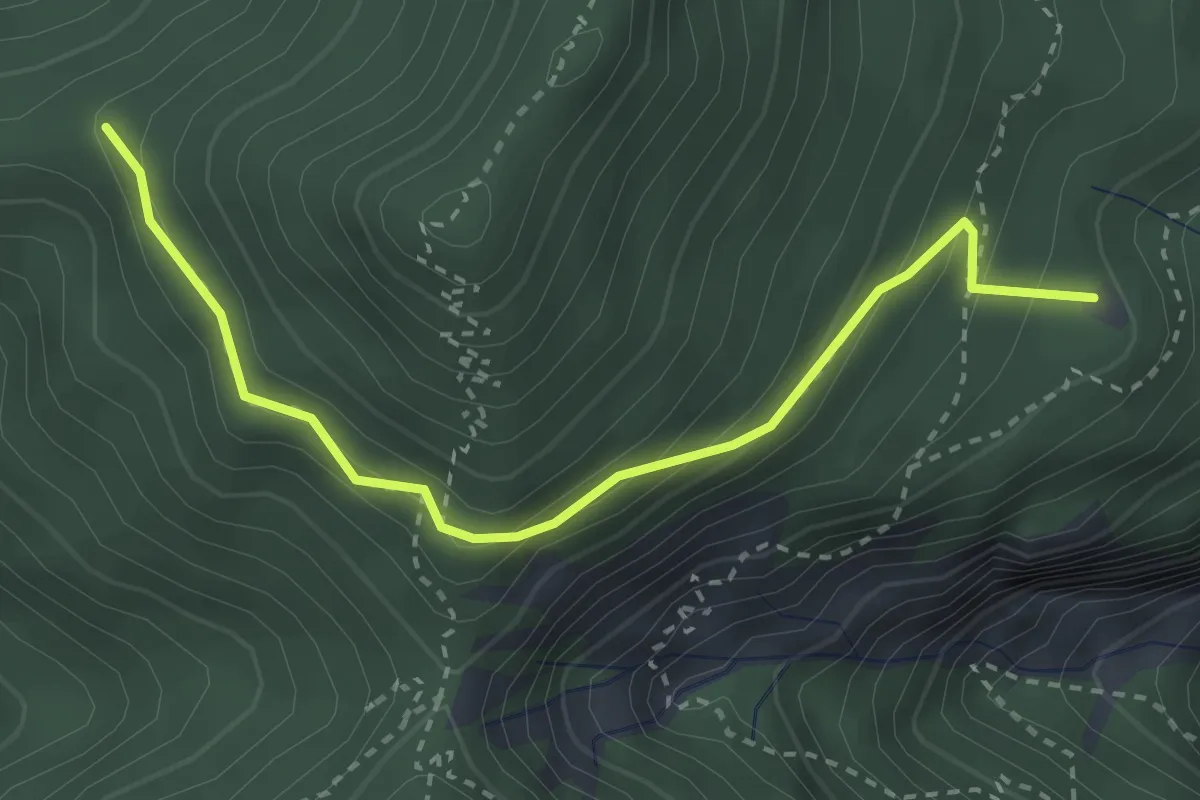
Medium · Summit
Degà, Trovelle
3.2 km · ↑ 235 m · 1 h 16 min · 11 km away
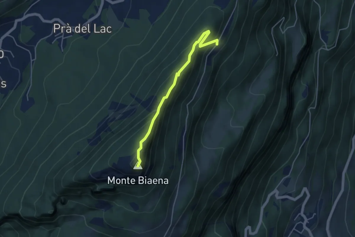
Expert · Summit
Via ferrata del Somator
3.8 km · ↑ 267 m · 1 h 29 min · 11 km away
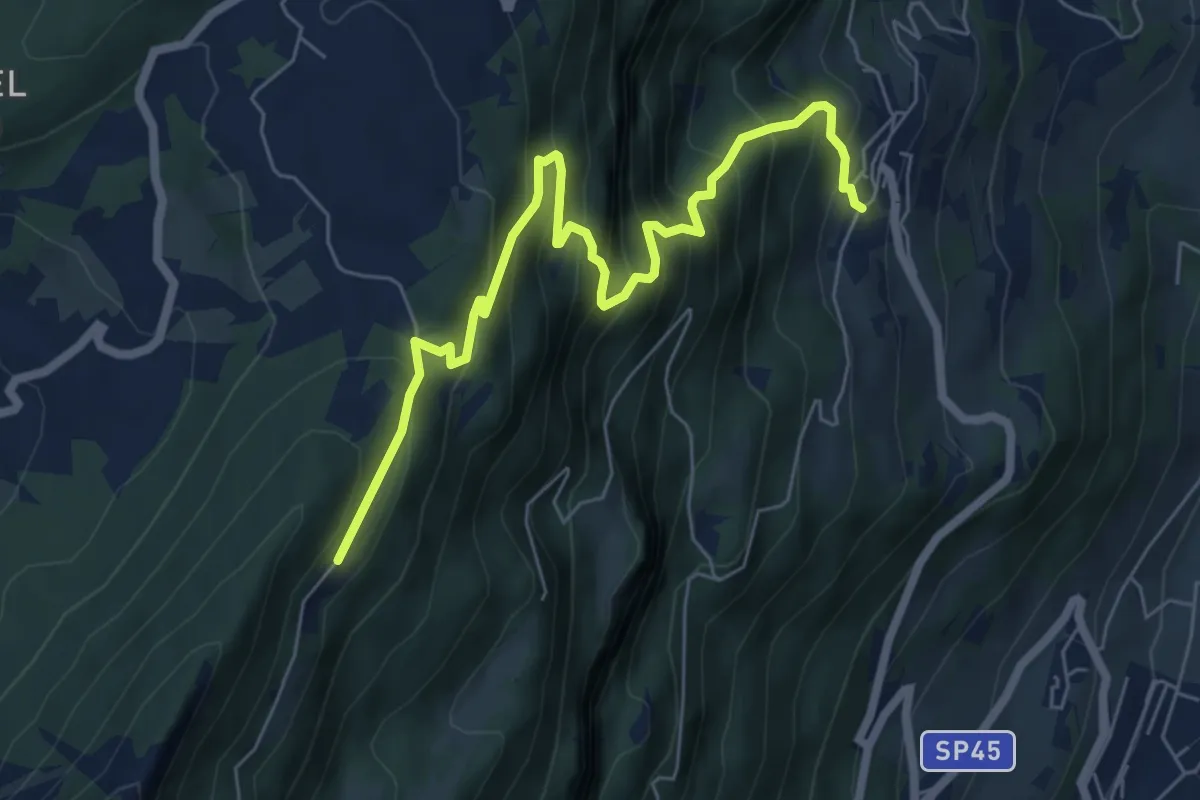
Medium · Trail
La direttissima
7.2 km · ↑ 732 m · 3 h 17 min · 11 km away
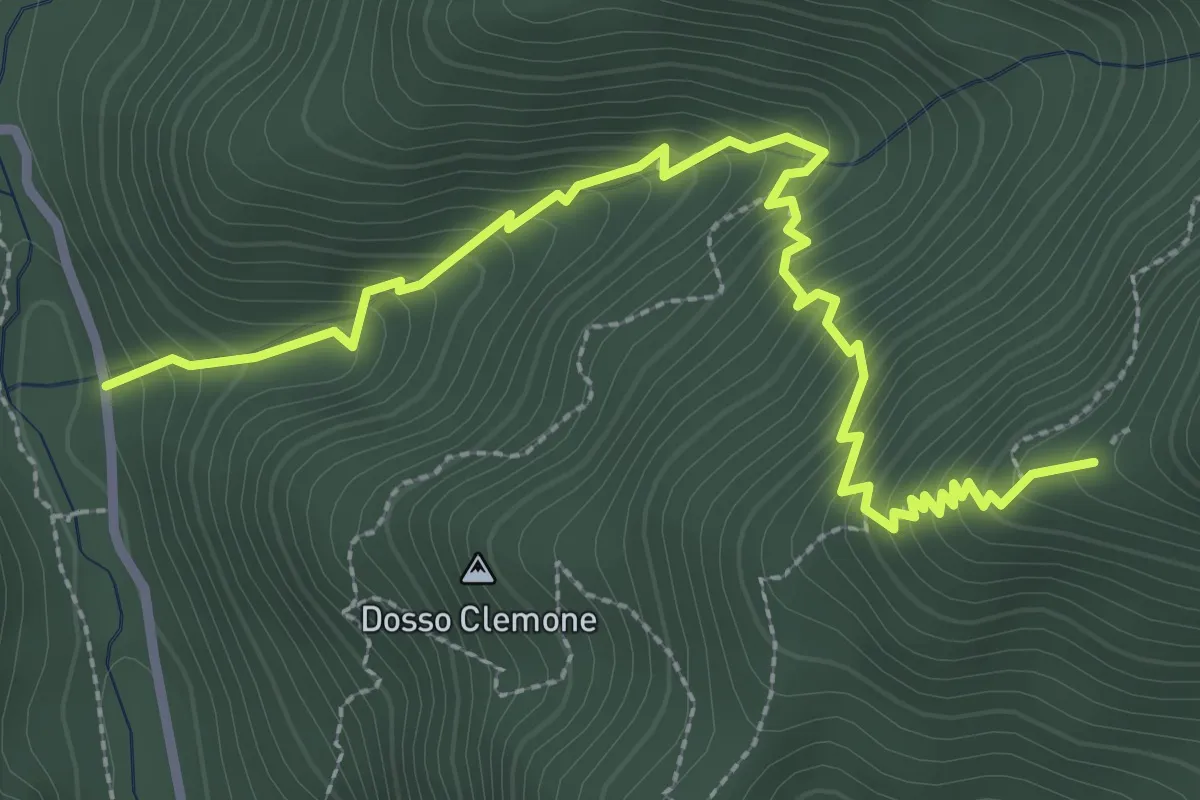
Medium · Trail
Val di Bondo – Corno Nero (Percorso 106)
3.5 km · ↑ 433 m · 1 h 46 min · 11 km away
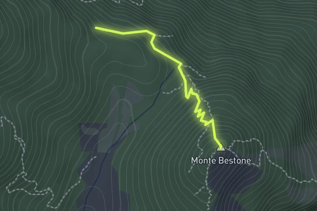
Medium · Summit
Voltino, Monte Bestone, BVG
1.8 km · ↑ 200 m · 52 min · 11 km away
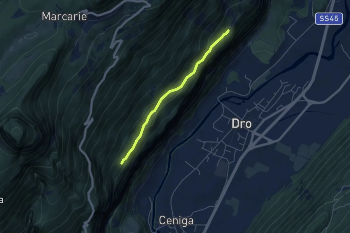
Medium · Trail
Sentiero alle Cavre
4.1 km · ↑ 172 m · 1 h 20 min · 11 km away
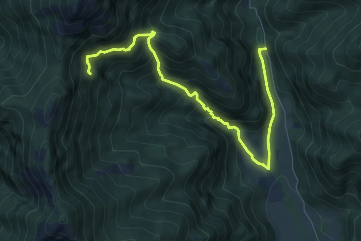
Medium · Trail
Val di Bondo, La Colma, Molvina
7.7 km · ↑ 667 m · 3 h 16 min · 11 km away
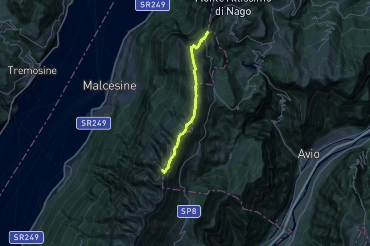
Demanding · Summit
Sentiero delle Creste
16.8 km · ↑ 1275 m · 6 h 44 min · 11 km away
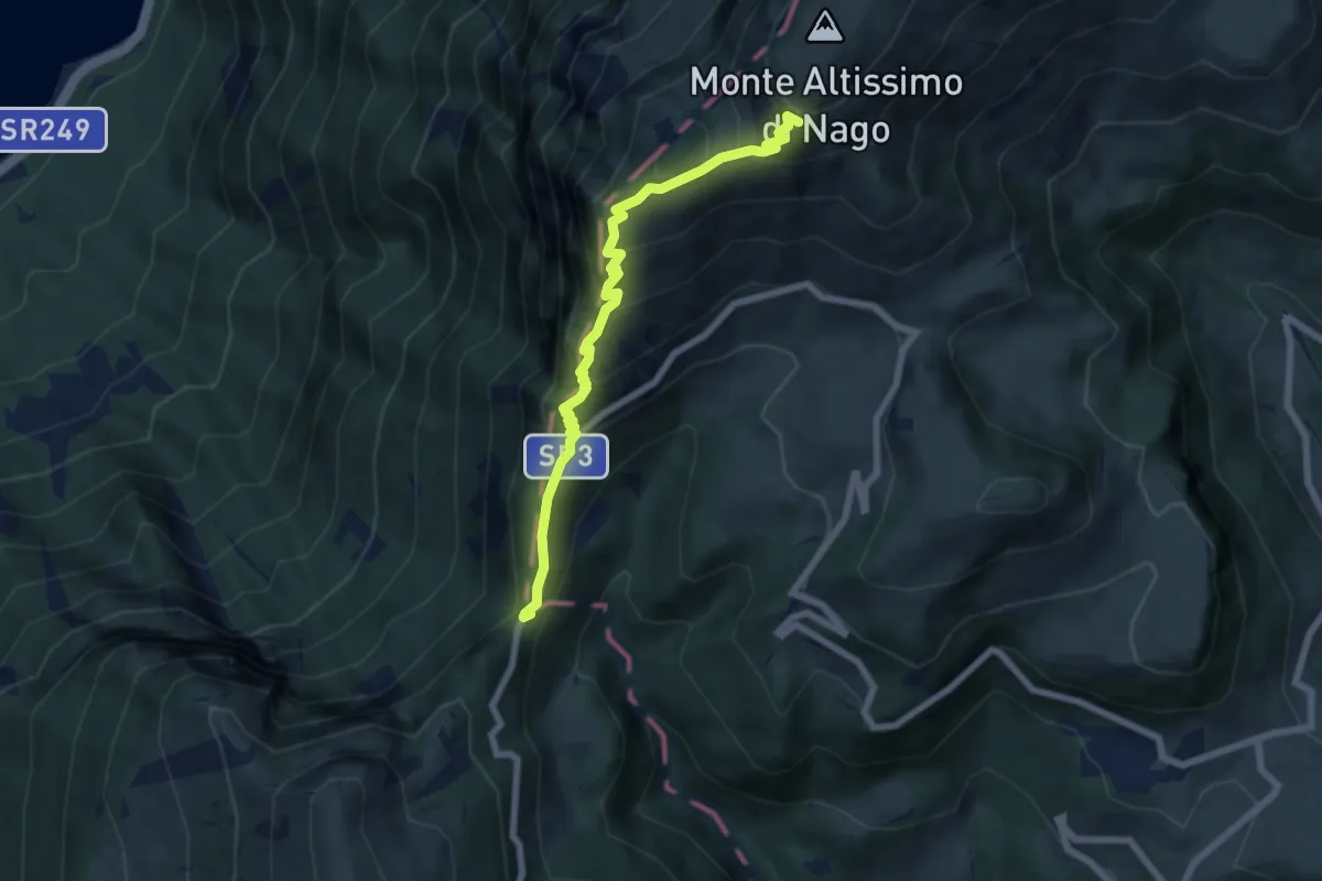
Medium · Trail
Bocca di Navene (bivio 653) – Rifugio Altissimo "Damiano Chiesa" (bivio 601 - 622 - 633)
6.7 km · ↑ 611 m · 2 h 55 min · 11 km away
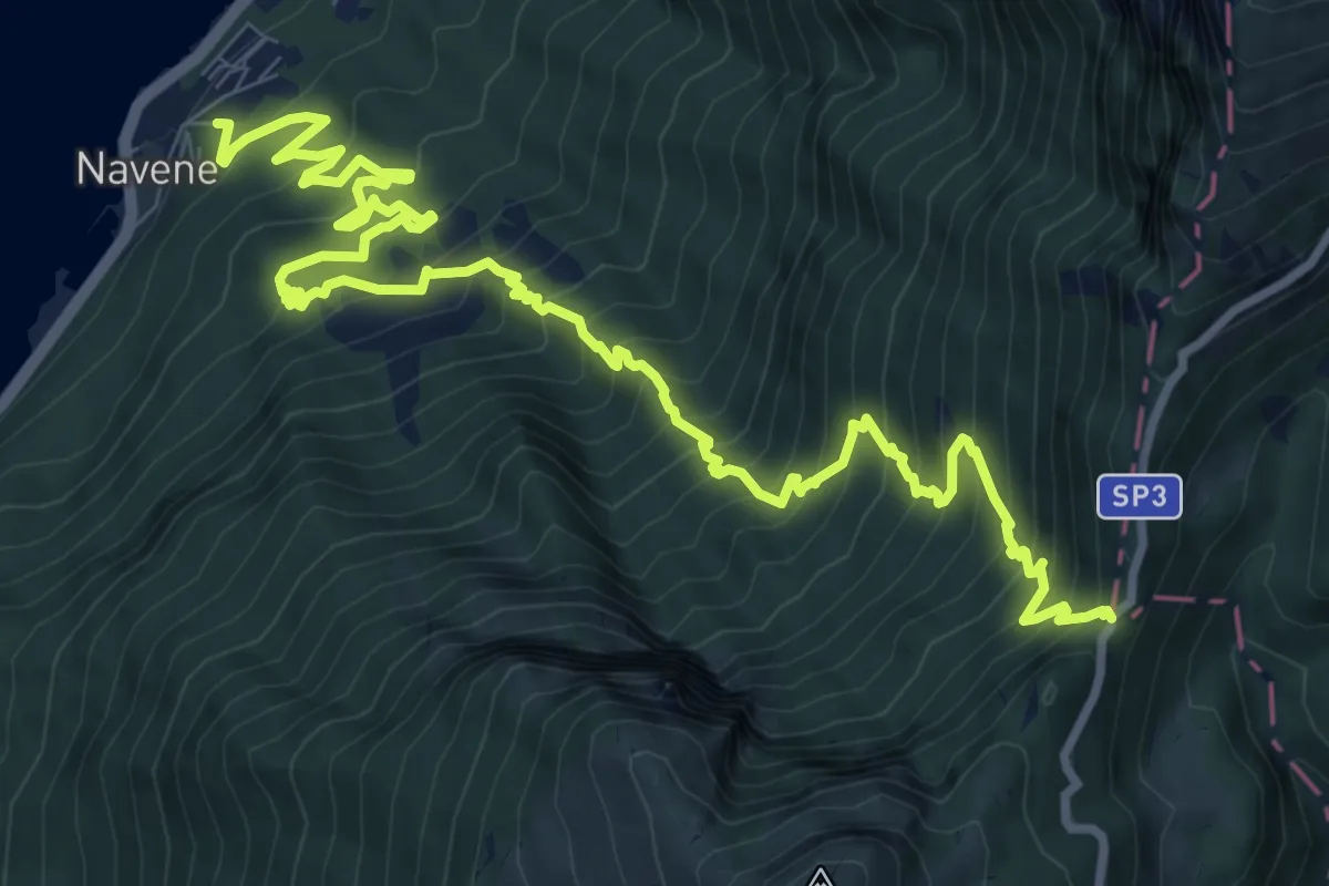
Demanding · Trail
Navene – Bocca di Navene innesto sentiero 651
13.8 km · ↑ 1456 m · 6 h 25 min · 11 km away
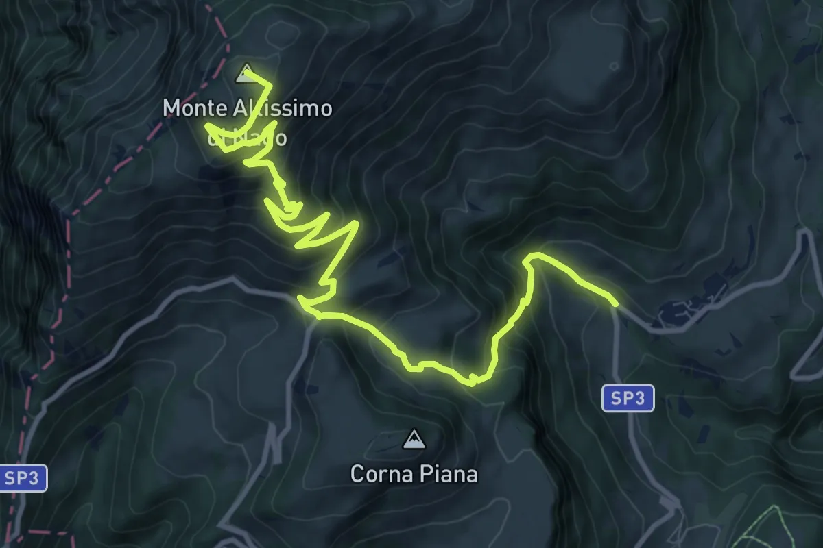
Demanding · Summit
Val de Vic - presso San Giacomo – Rifugio Altissimo "Damoano Chiesa" (bivio 601 - 622 - 651)
12.8 km · ↑ 924 m · 5 h 2 min · 11 km away
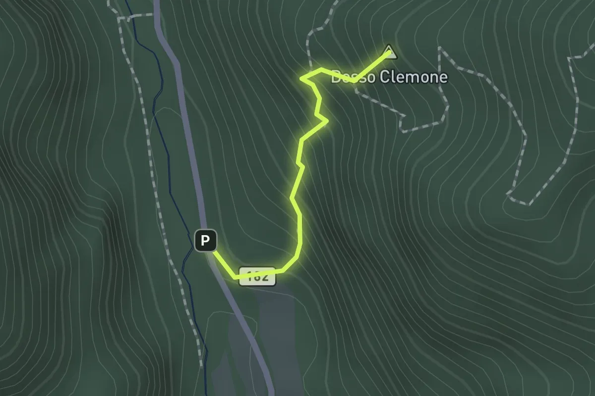
Demanding · Summit
Sentiero del Passo di Cisano
1.3 km · ↑ 205 m · 44 min · 11 km away
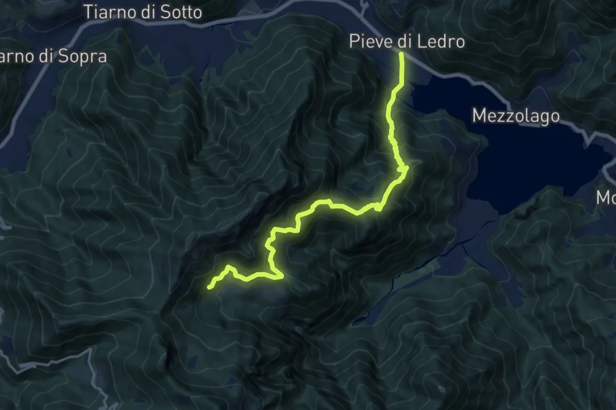
Demanding · Trail
Sentér de San Martin
13.1 km · ↑ 1250 m · 5 h 48 min · 11 km away
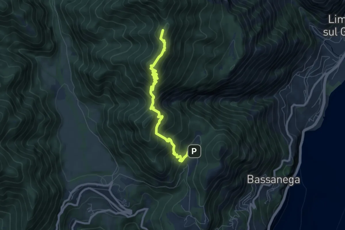
Demanding · Summit
Fornaci – Cima Sospiri, Percorso 106
7.0 km · ↑ 660 m · 3 h 5 min · 11 km away
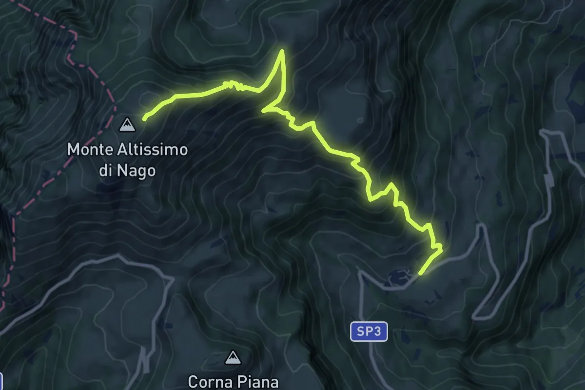
Demanding · Cabin
San Giacomo – Rifugio Altissimo "Damiano Chiesa" (bivio 601 - 633 - 651)
10.0 km · ↑ 854 m · 4 h 13 min · 11 km away
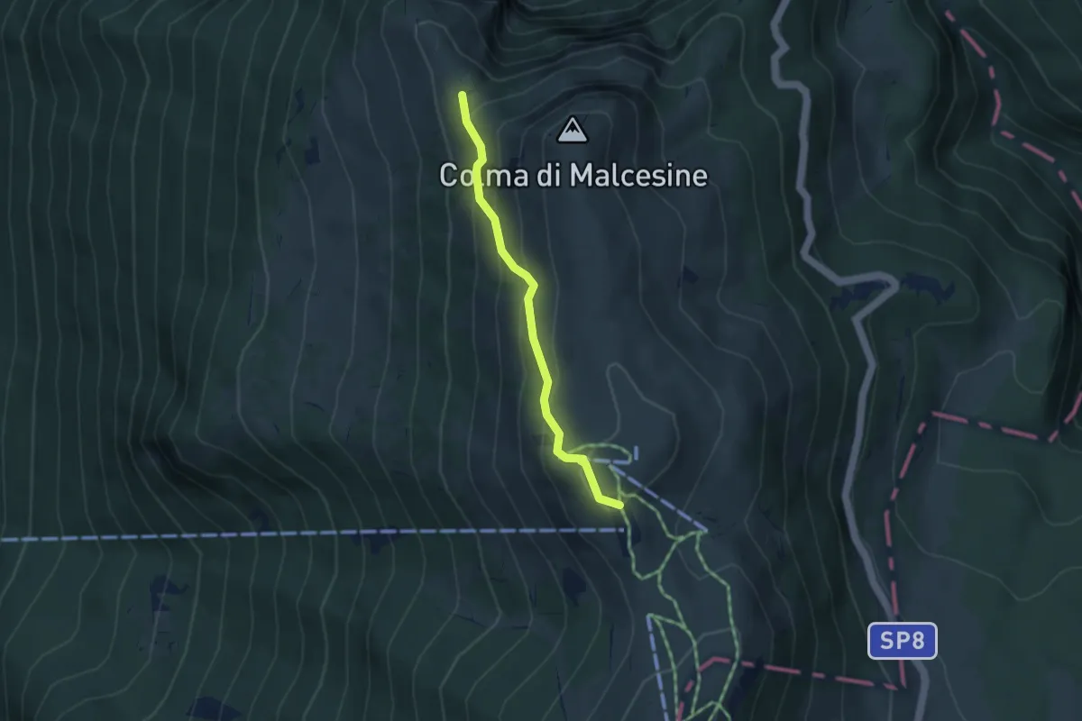
Easy · Trail
Sentiero della Giustina
3.3 km · ↑ 256 m · 1 h 19 min · 11 km away
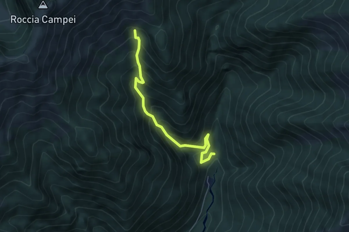
Medium · Trail
Sentér de Lomar
4.7 km · ↑ 591 m · 2 h 24 min · 12 km away
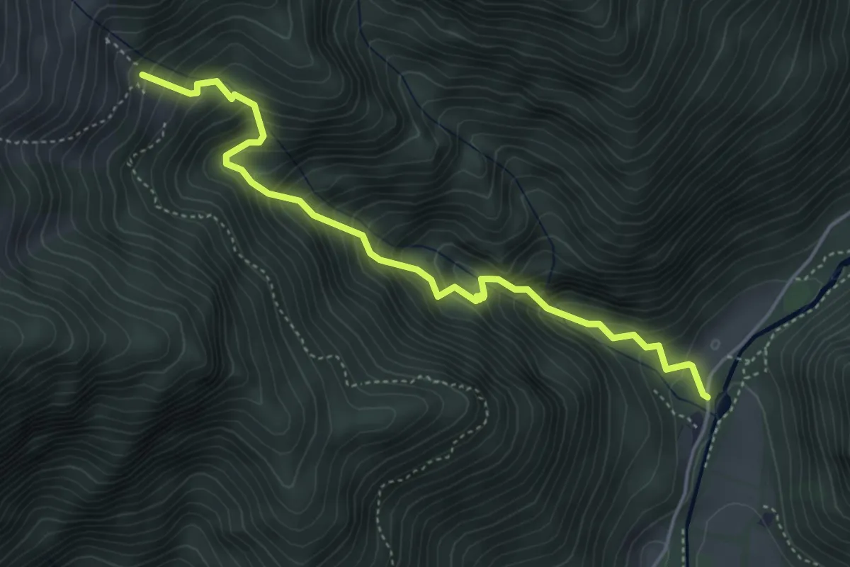
Medium · Trail
Sentér de Vesì
4.7 km · ↑ 600 m · 2 h 25 min · 12 km away
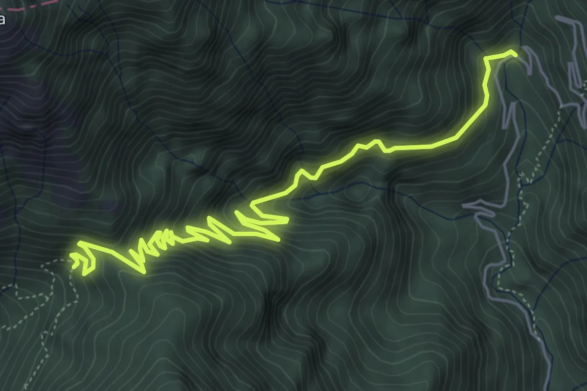
Medium · Trail
Le Acque, Bocca di Fobbia
7.5 km · ↑ 706 m · 3 h 18 min · 12 km away