Trails near Riva del Garda
199 hikes starting within 15 km, nearest first.
Nearest first, page 4 of 5
Medium · Trail
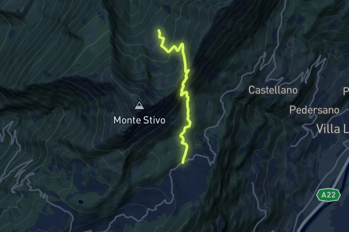
Passo Bordala – Presso Malga Campo di Arco
10.1 km · ↑ 745 m · 4 h · 12 km away
Medium · Trail
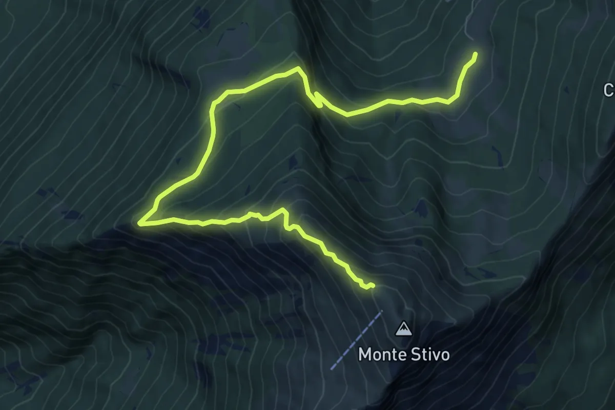
Sentiero del Coston
10.9 km · ↑ 749 m · 4 h 11 min · 12 km away
Medium · Trail
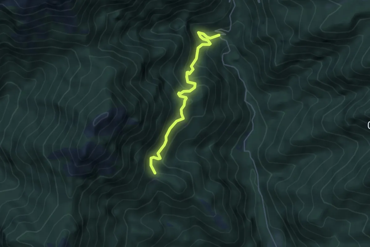
Ponte di Nalbo, La Colma
4.5 km · ↑ 473 m · 2 h 5 min · 12 km away
Medium · Summit
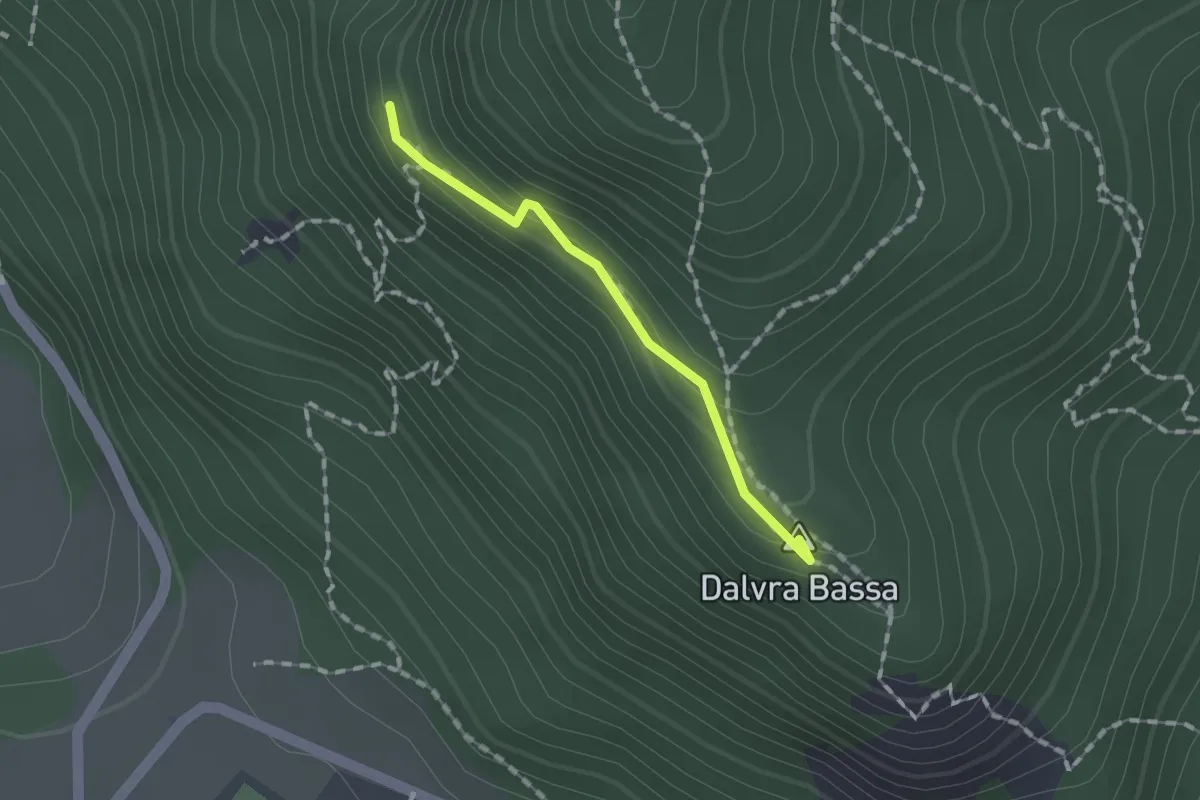
Dalvrà Bassa
1.2 km · ↑ 99 m · 30 min · 12 km away
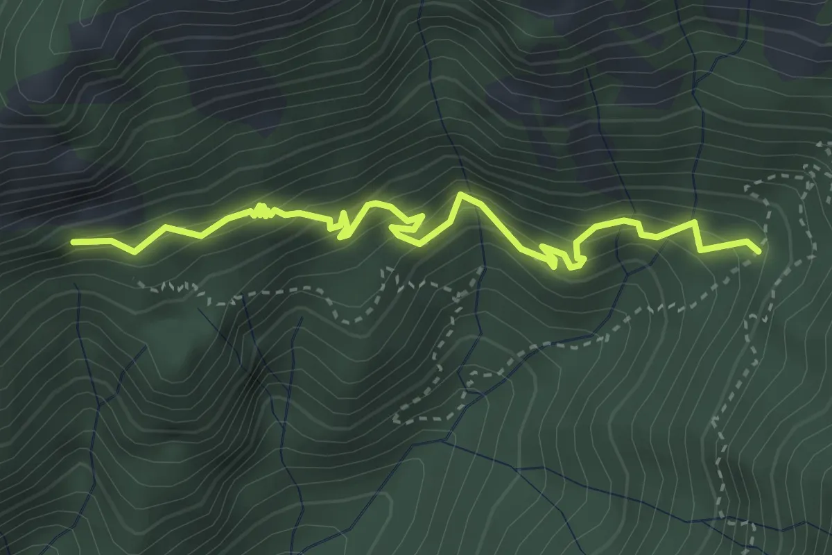
Medium · Trail
Malga di Fobia, Pra Pia
3.9 km · ↑ 464 m · 1 h 55 min · 12 km away
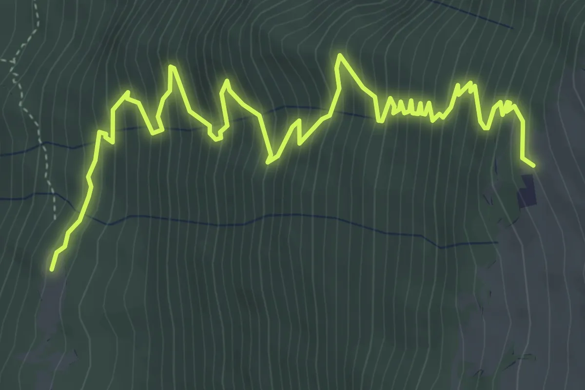
Medium · Trail
Case Faigolo - da sent. 4 – Casera di Vo (Prai di Malcesine) - inn. sent. 3
7.4 km · ↑ 792 m · 3 h 28 min · 12 km away
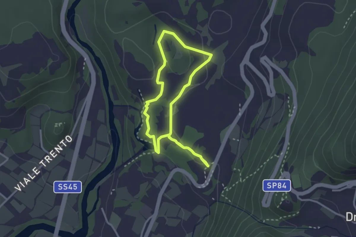
Easy · Trail
Sentiere delle Marocche corto
2.4 km · ↑ 60 m · 44 min · 12 km away
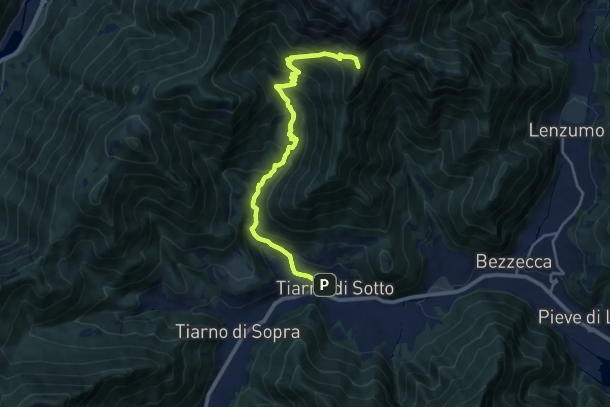
Demanding · Summit
Senter de Croina
11.8 km · ↑ 952 m · 4 h 52 min · 12 km away
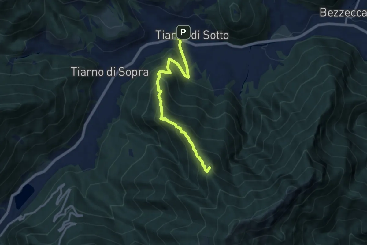
Medium · Summit
Sentér del Pià
7.7 km · ↑ 664 m · 3 h 15 min · 12 km away
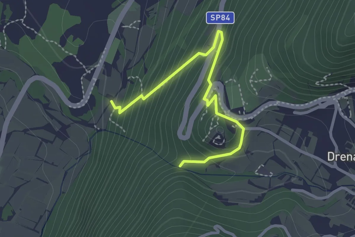
Medium · Trail
Via ferrata return
2.5 km · ↑ 207 m · 1 h 3 min · 12 km away
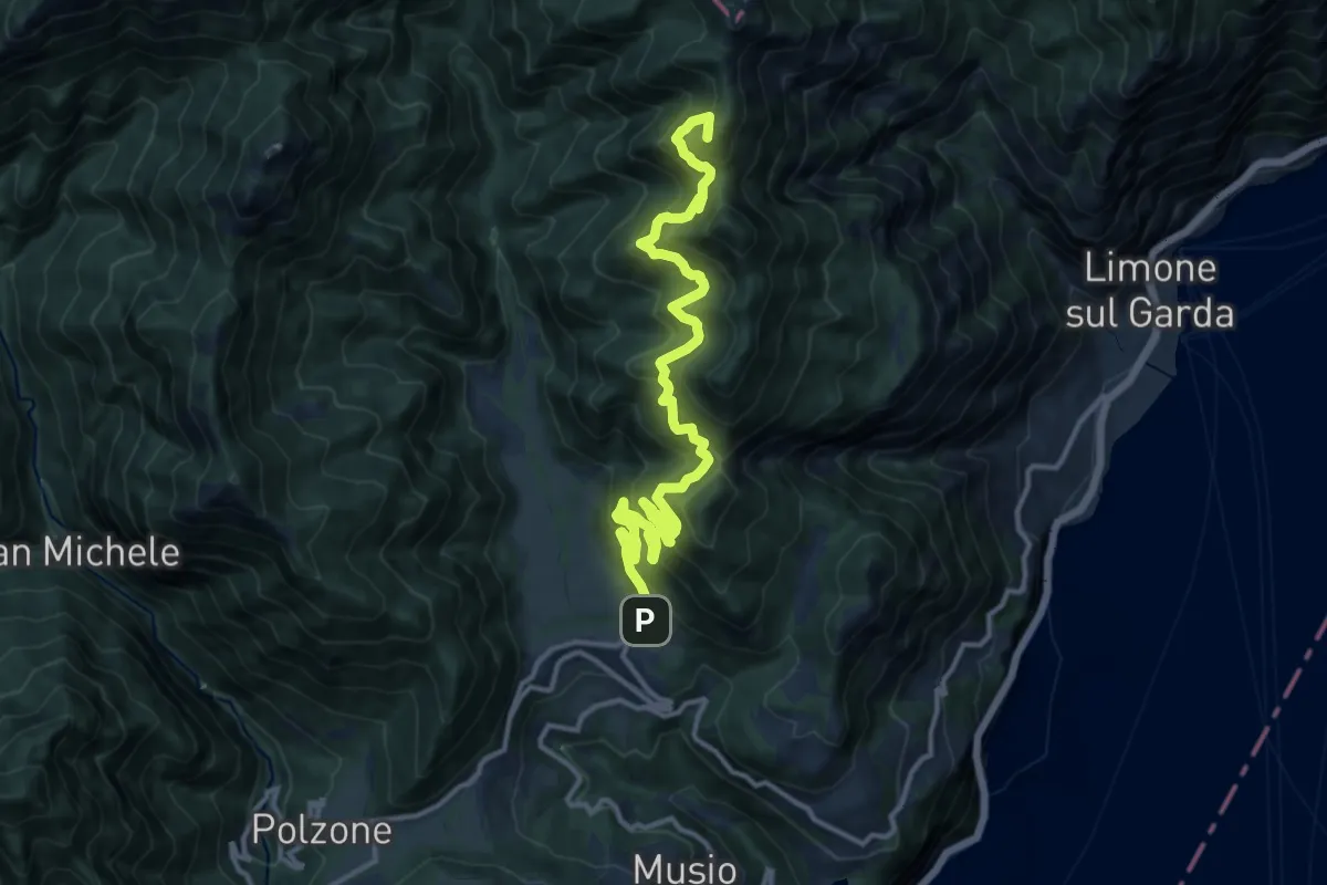
Demanding · Summit
Vesio – Passo Nota
14.9 km · ↑ 1403 m · 6 h 33 min · 12 km away
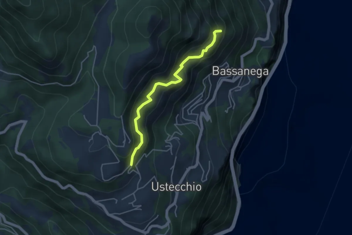
Expert · Trail
Sentiero delle Balze
3.6 km · ↑ 490 m · 1 h 54 min · 12 km away
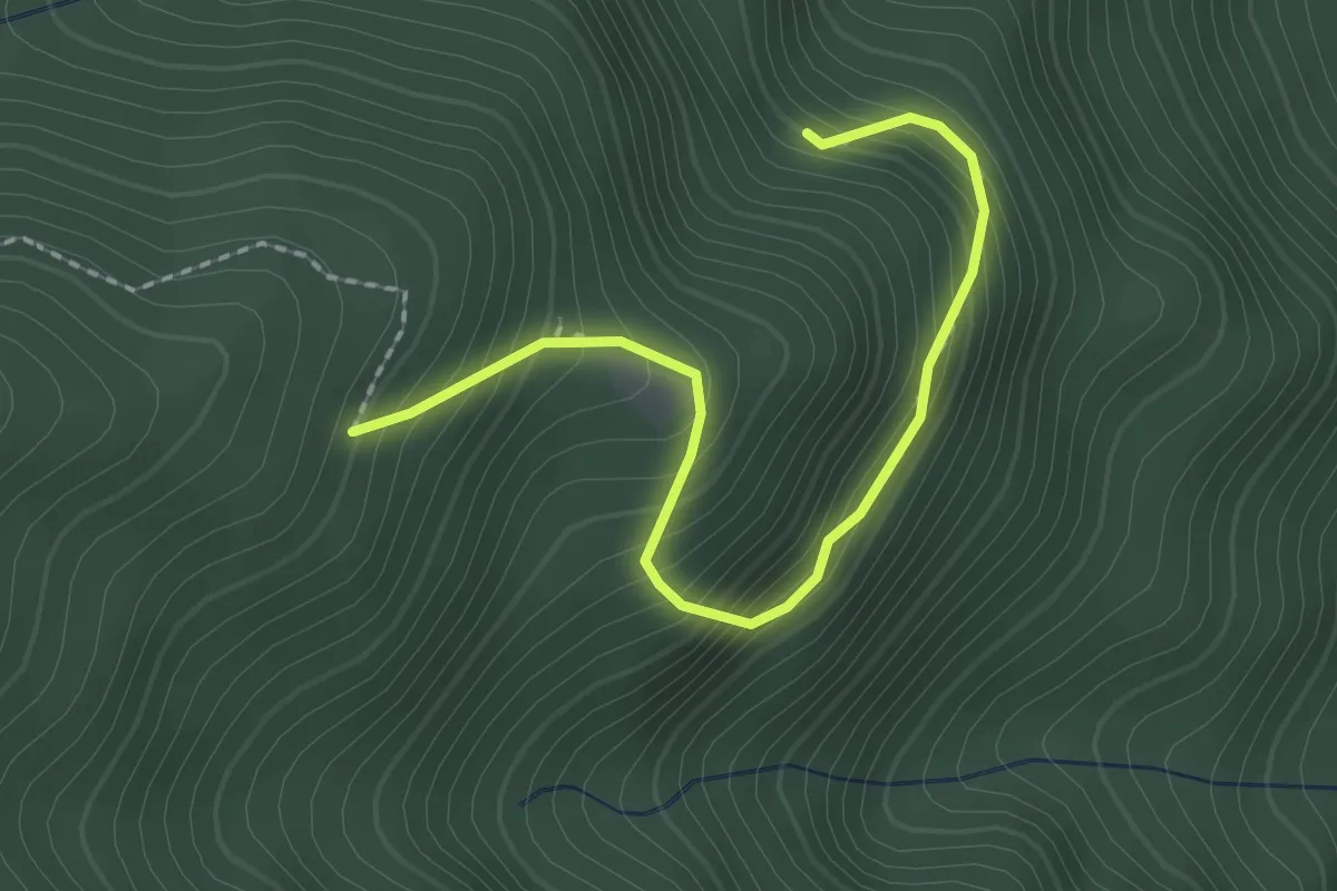
Easy · Trail
Malga Prà di Toni
2.2 km · ↑ 293 m · 1 h 10 min · 12 km away
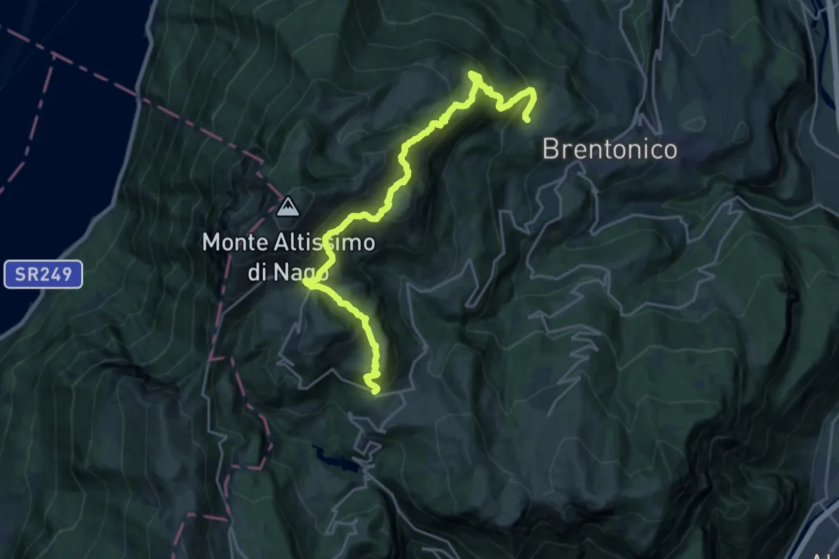
Expert · Trail
Sentiero attrezzato delle Vipere
10.6 km · ↑ 531 m · 4 h 2 min · 12 km away
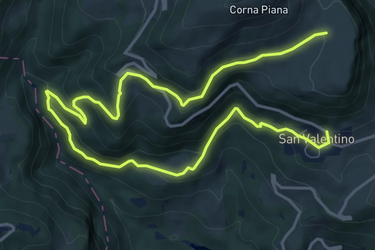
Medium · Trail
San Valentino (bivio 650) – Malga Bes (bivio 650)
12.4 km · ↑ 587 m · 4 h 12 min · 12 km away
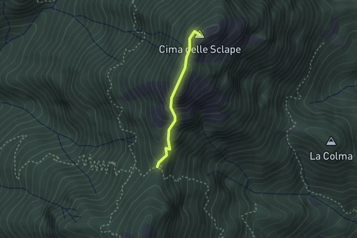
Easy · Summit
Cima delle Sclape
1.9 km · ↑ 235 m · 58 min · 12 km away
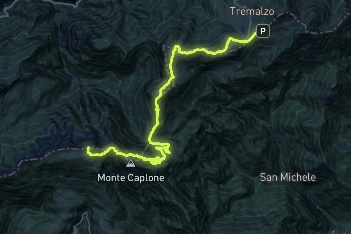
Demanding · Summit
Alpiedi Ledro Alps Trek - Tappa 1
24.2 km · ↑ 1703 m · 9 h 25 min · 13 km away
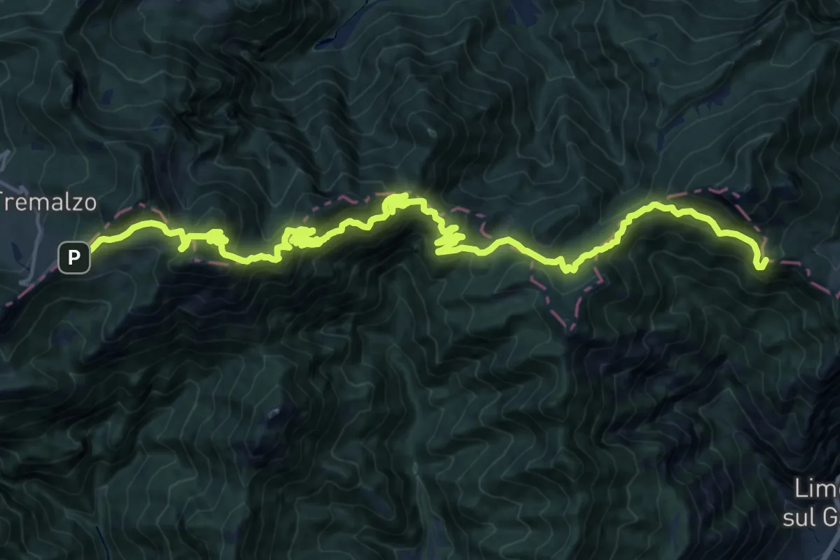
Demanding · Summit
Alpiedi Ledro Alps Trek - Tappa 2
25.8 km · ↑ 1917 m · 10 h 15 min · 13 km away
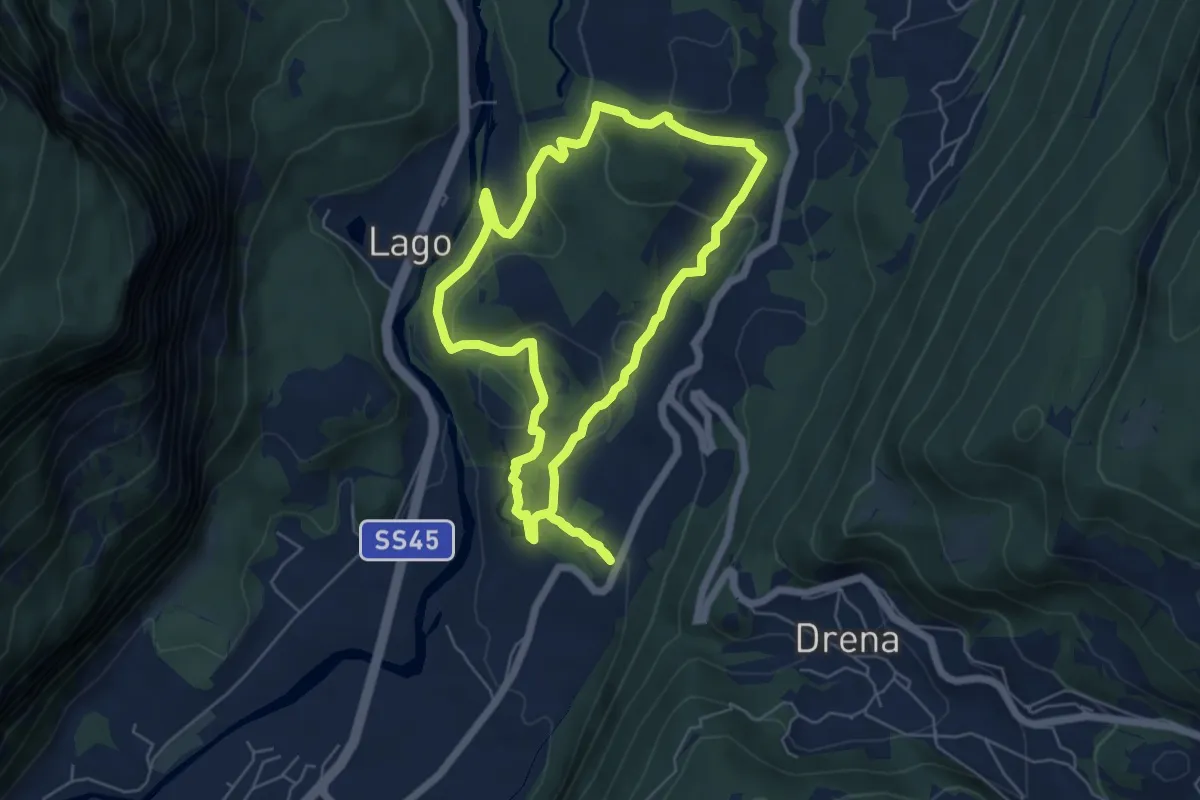
Medium · Trail
Sentiere delle Marocche
5.6 km · ↑ 188 m · 1 h 49 min · 13 km away
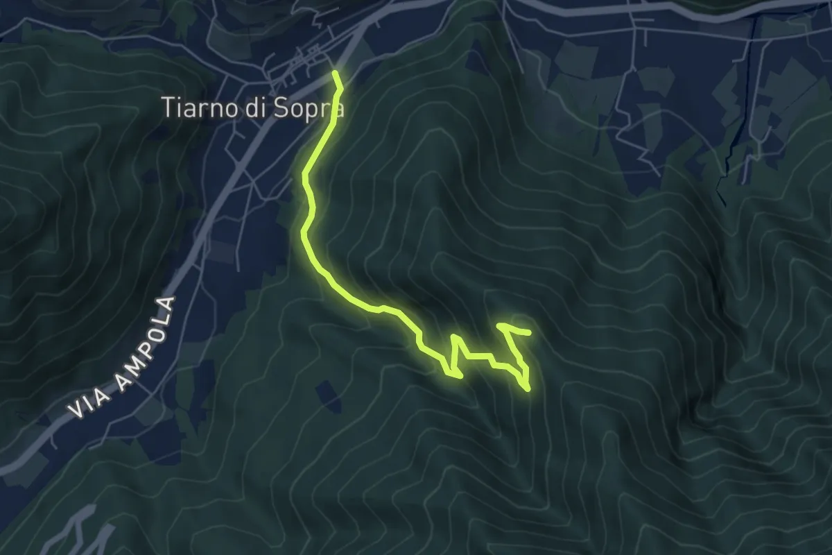
Medium · Summit
Sentér de Masoliv
5.8 km · ↑ 537 m · 2 h 32 min · 13 km away
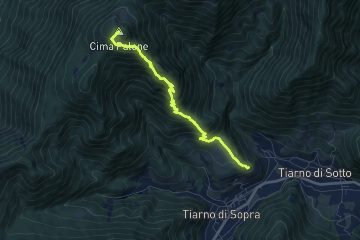
Medium · Summit
Senter de Paló
7.5 km · ↑ 771 m · 3 h 27 min · 13 km away
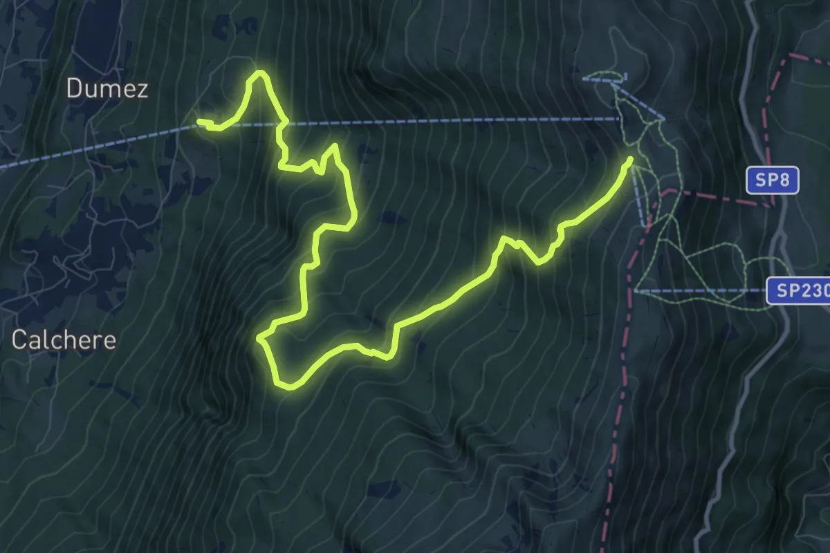
Demanding · Trail
San Michele - stazione intermedia funivia – Bocca Tratto Spino - inn. sent. 651
13.5 km · ↑ 1240 m · 5 h 52 min · 13 km away
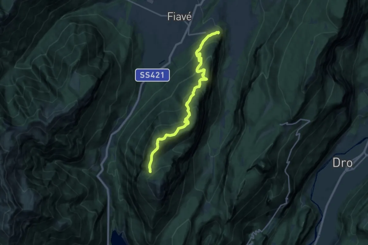
Demanding · Trail
Favrio – Malga di Tenno (bivio 412)
14.7 km · ↑ 1023 m · 5 h 41 min · 13 km away
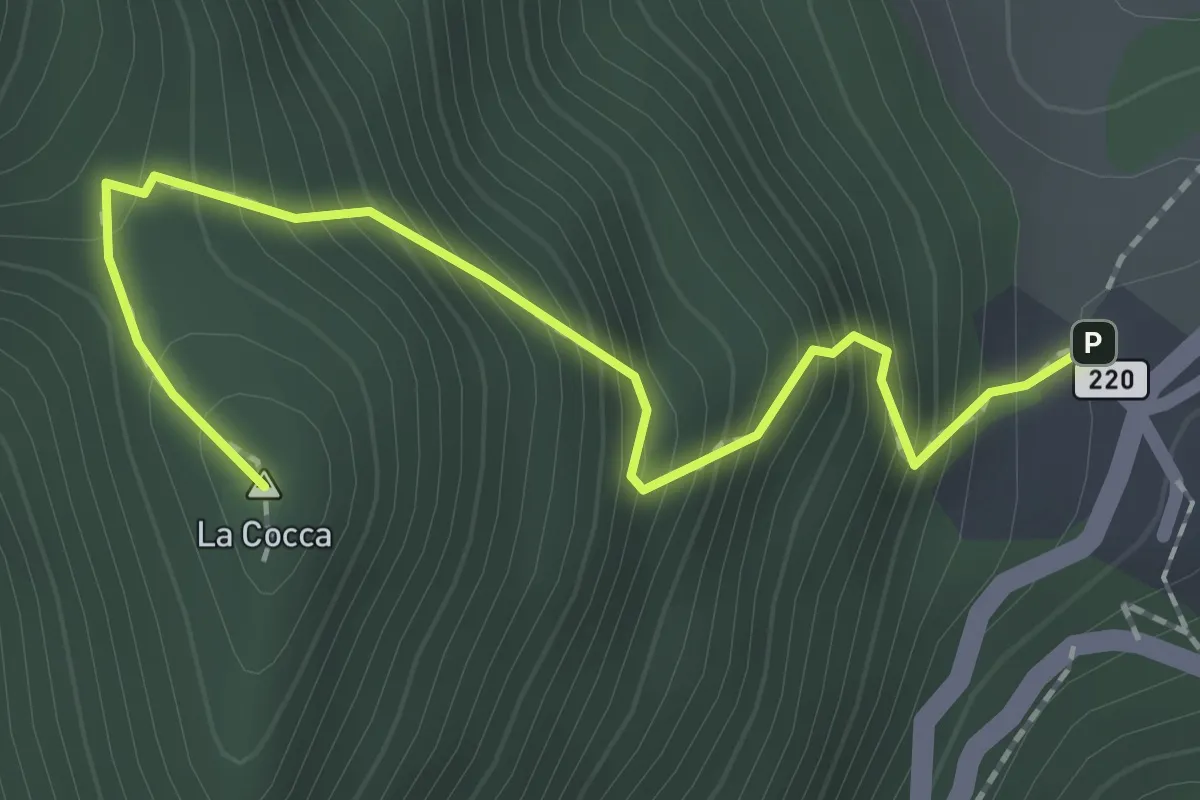
Expert · Summit
Vesio, La Cocca
2.2 km · ↑ 304 m · 1 h 10 min · 13 km away
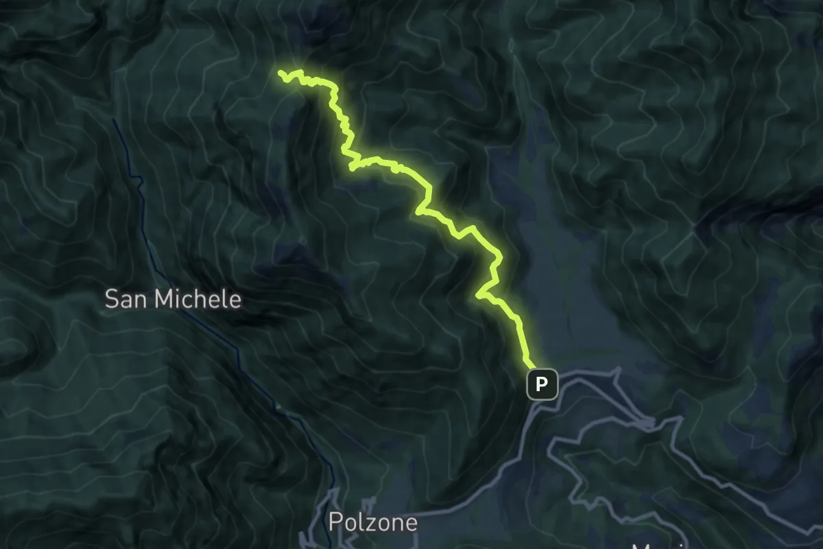
Demanding · Trail
Vesio, Piazzolo, Bocchette di Nansesa
9.9 km · ↑ 954 m · 4 h 24 min · 13 km away
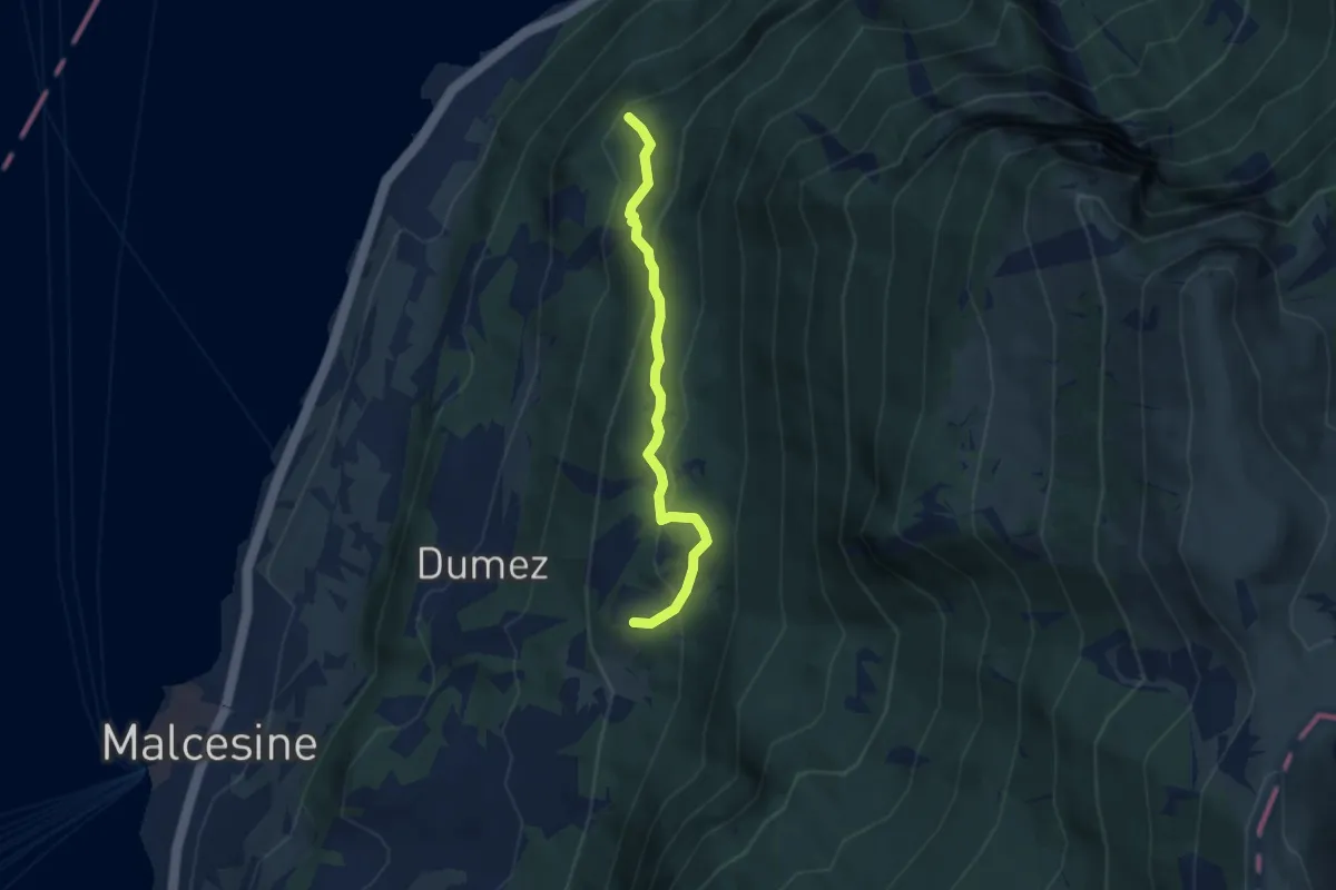
Medium · Summit
Stazione Intermedia San Michele – Monte Fubia
5.1 km · ↑ 354 m · 1 h 58 min · 13 km away
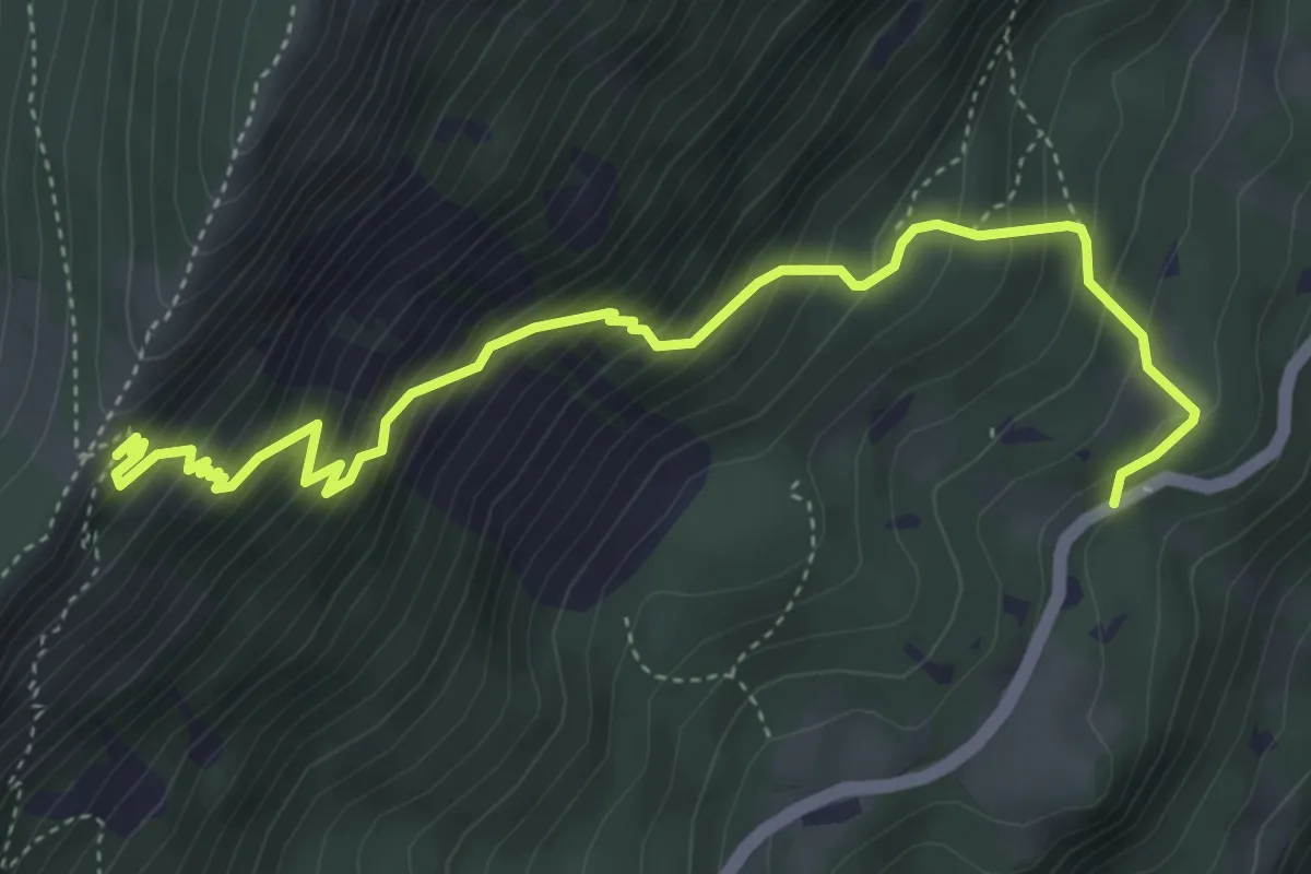
Medium · Trail
Sentiero dei Serbi
5.3 km · ↑ 647 m · 2 h 39 min · 13 km away
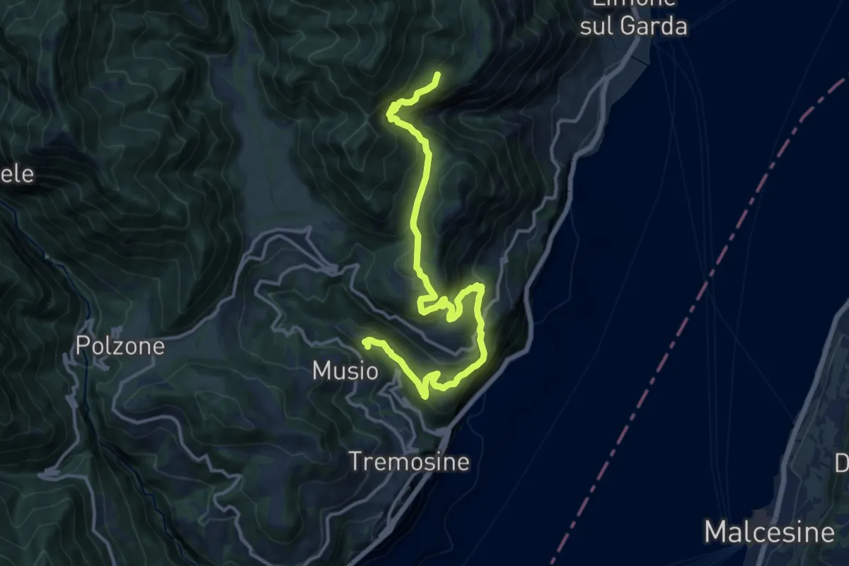
Demanding · Summit
Priezzo (Tremosine) - Malga Dalco (Limone sul Garda)
15.1 km · ↑ 880 m · 5 h 29 min · 13 km away
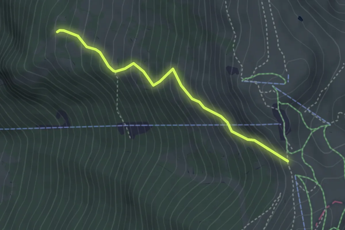
Medium · Trail
Rifugio Kira - Bocca Tratto Spino
3.4 km · ↑ 455 m · 1 h 47 min · 13 km away
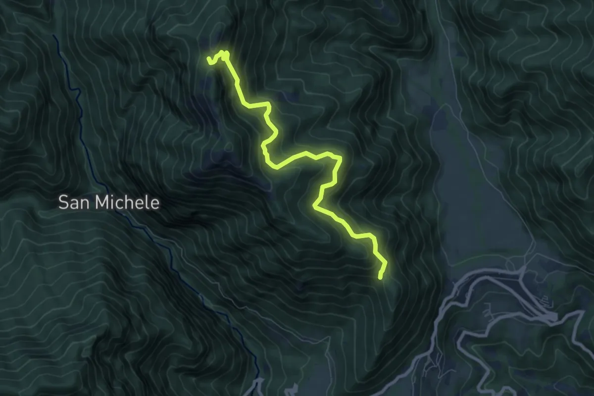
Medium · Trail
Cocca – Cima delle Volte
7.8 km · ↑ 701 m · 3 h 21 min · 13 km away
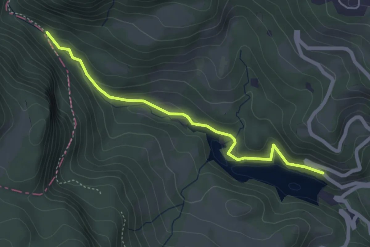
Medium · Trail
Prà da Stua - bivio strada provinciale 208 – Torrente Aviana - Val Zocchi
4.2 km · ↑ 181 m · 1 h 23 min · 13 km away
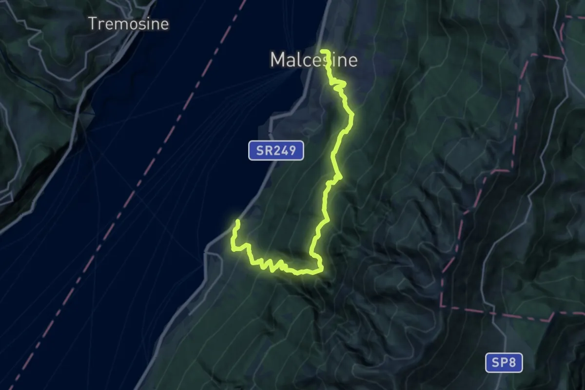
Demanding · Trail
Cassone – Malcesine- Funivia Monte Baldo
9.6 km · ↑ 895 m · 4 h 21 min · 13 km away
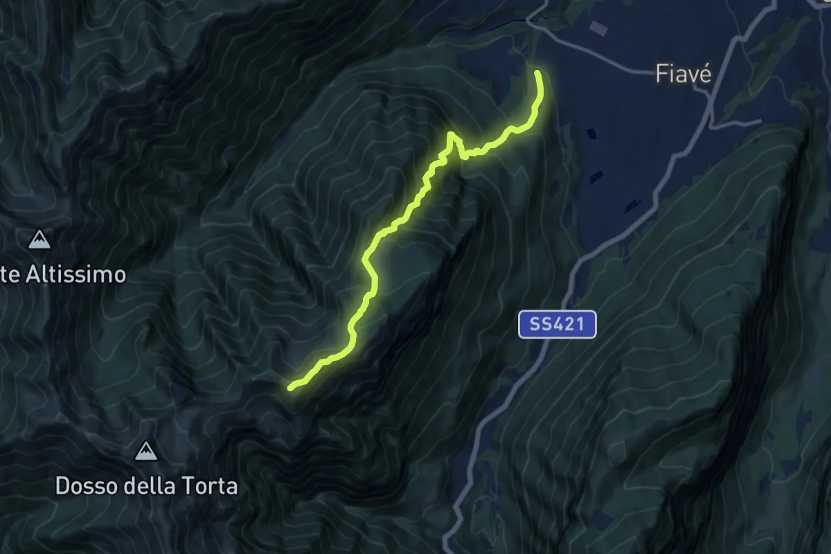
Demanding · Summit
Cornelle – Malga Nardis (bivio 420)
11.6 km · ↑ 1258 m · 5 h 28 min · 13 km away
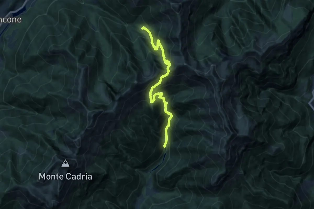
Demanding · Trail
Sentér dei Guì
14.6 km · ↑ 1449 m · 6 h 35 min · 13 km away
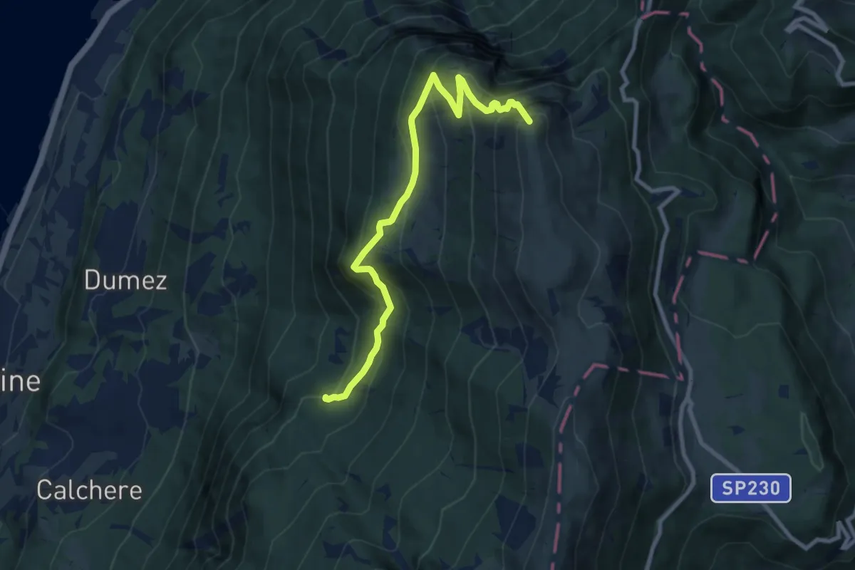
Demanding · Summit
Il Signor - Prai - Bocca di Navene
8.8 km · ↑ 831 m · 3 h 52 min · 14 km away
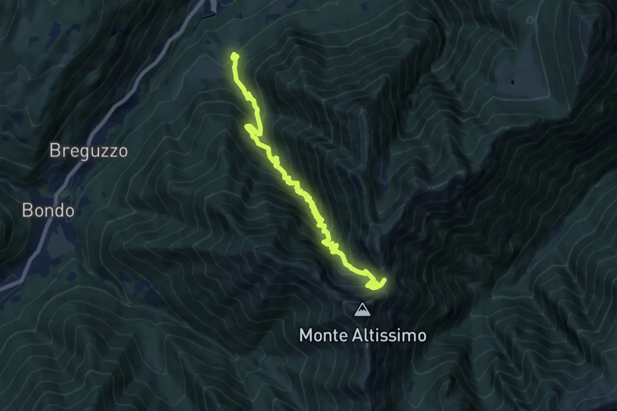
Demanding · Trail
Madonna del Lares – Bochet de la Meda (bivio 463)
13.3 km · ↑ 1122 m · 5 h 34 min · 14 km away
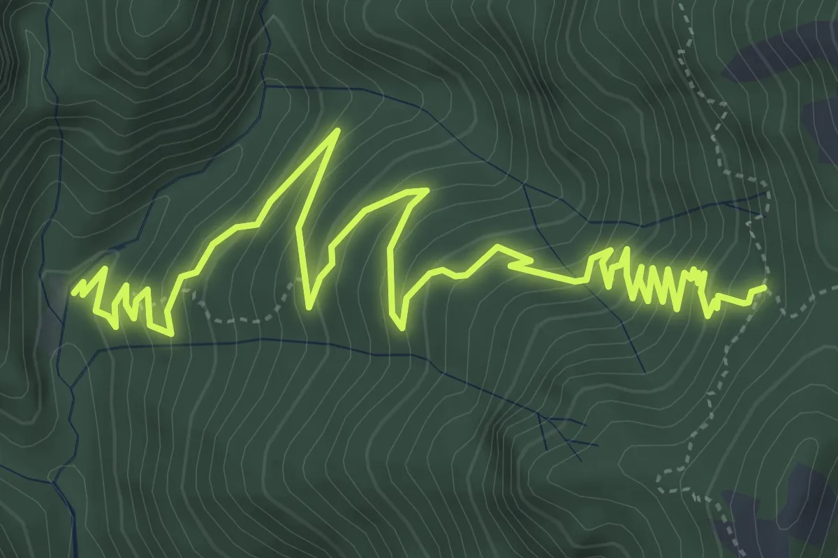
Medium · Trail
Prato delle Noci, Bocchetta di Nansesa
7.7 km · ↑ 624 m · 3 h 10 min · 14 km away
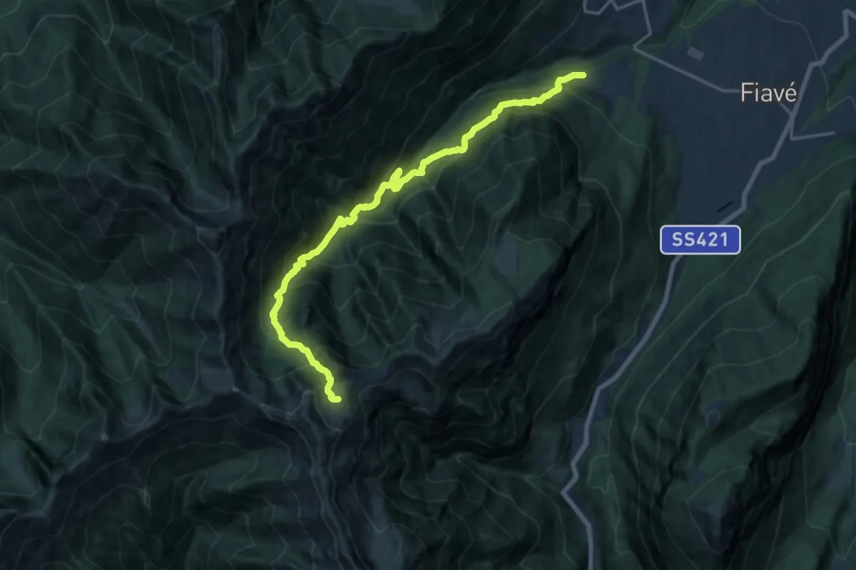
Demanding · Trail
Maso Clena – Greper de Nardis (bivio 420)
16.5 km · ↑ 1616 m · 7 h 23 min · 14 km away
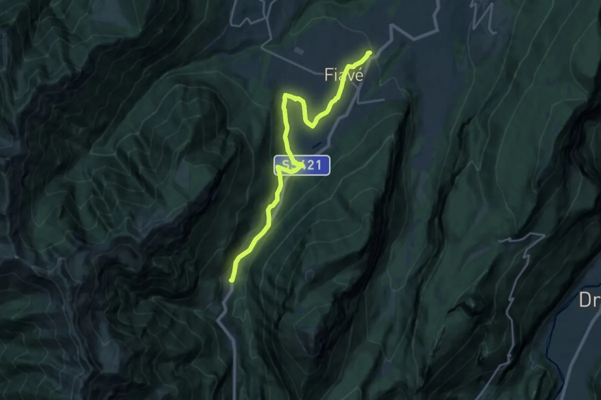
Medium · Trail
Andreas Hofer Weg
16.5 km · ↑ 353 m · 4 h 40 min · 14 km away
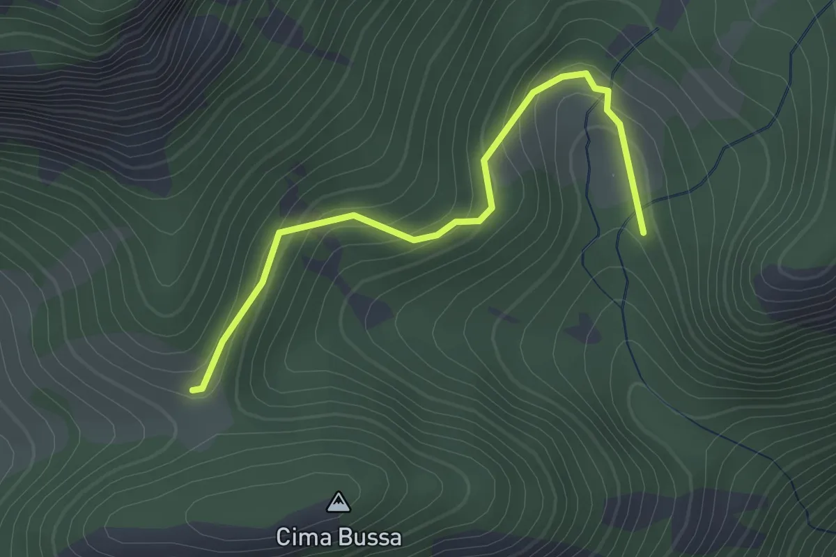
Easy · Trail
Malga Prà Pia
2.1 km · ↑ 131 m · 47 min · 14 km away
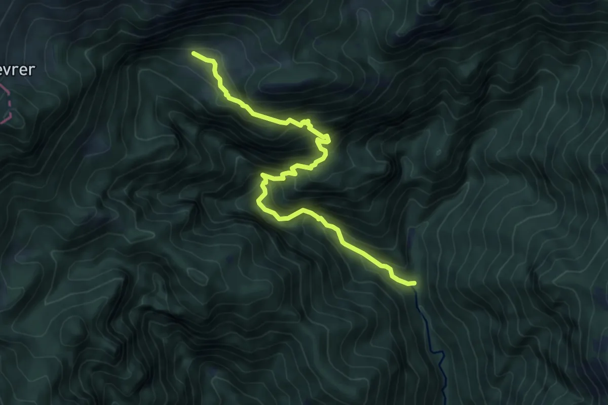
Demanding · Trail
Ponte di Corvà - Malga Cà dell'ERa
7.6 km · ↑ 885 m · 3 h 43 min · 14 km away
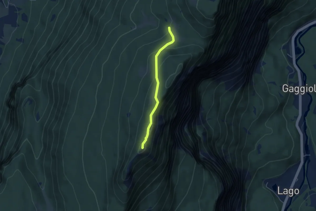
Easy · Summit
presso Baita Cargoni (bivio 408) – Busa del Lumac - Val Bona Alta
3.8 km · ↑ 172 m · 1 h 16 min · 14 km away
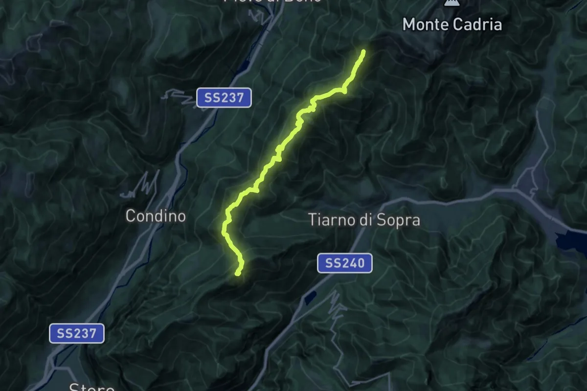
Demanding · Summit
Alpiedi Ledro Alps Trek - Tappa 5
18.0 km · ↑ 1274 m · 7 h · 14 km away
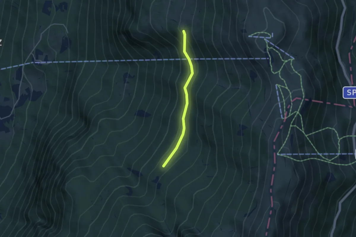
Medium · Trail
Monte de Bis (bivio sent. 11) – Pozza del Pezzon (bivio sent. 2)
3.2 km · ↑ 160 m · 1 h 6 min · 14 km away
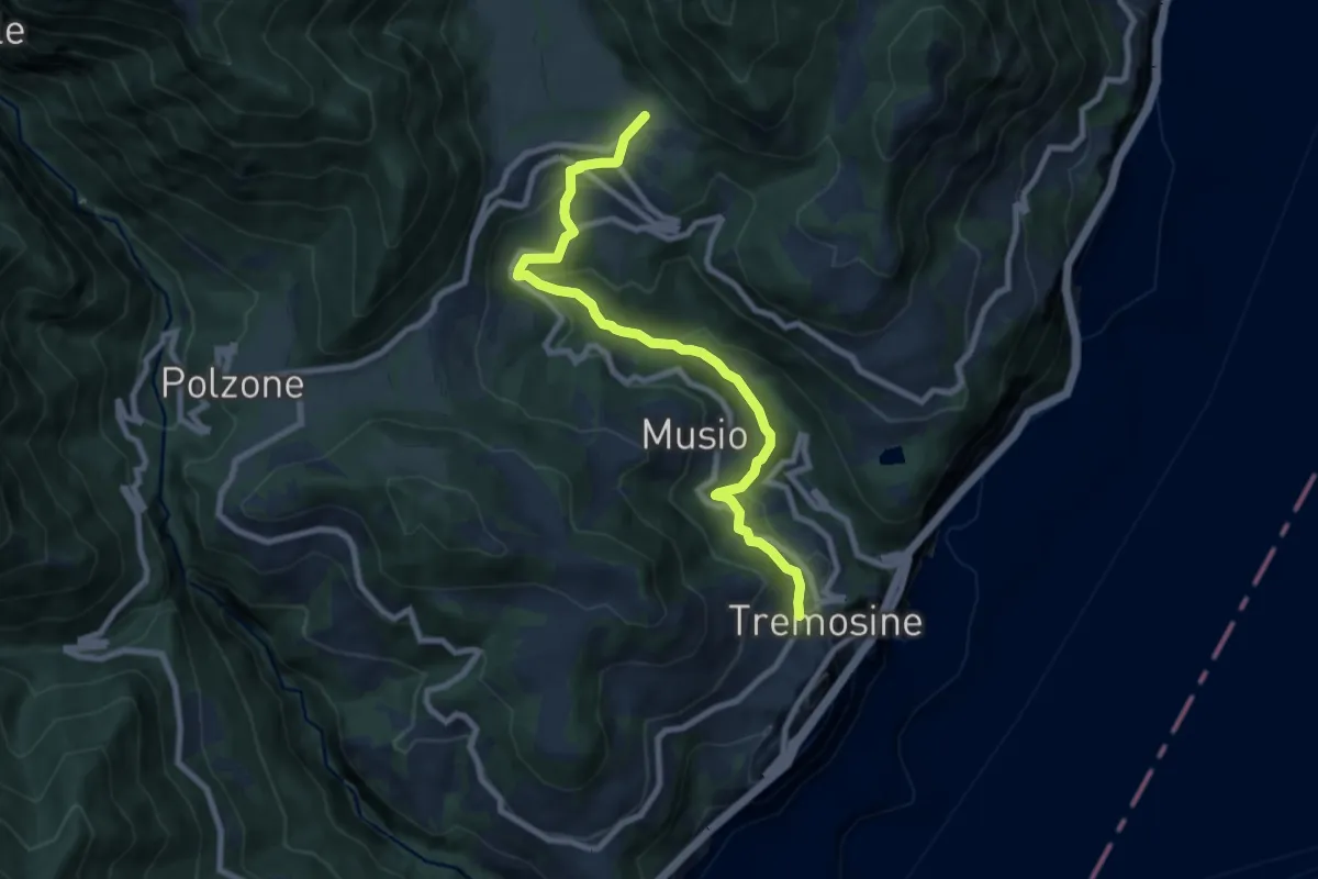
Medium · Trail
Sentiero del Mulino
8.6 km · ↑ 395 m · 2 h 53 min · 14 km away
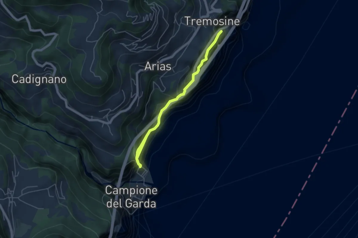
Demanding · Trail
Campione, Pieve
5.3 km · ↑ 1440 m · 4 h 23 min · 14 km away
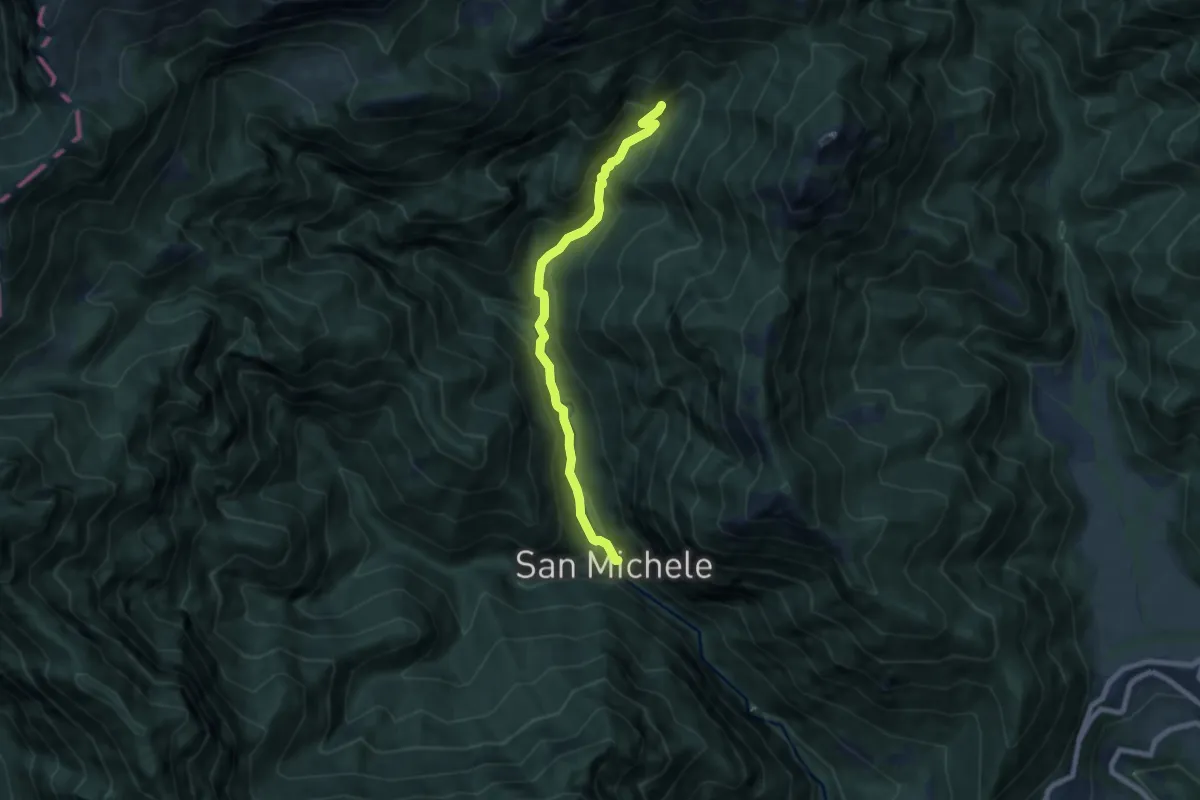
Medium · Trail
Sentiero del Prà delle Noci
7.1 km · ↑ 401 m · 2 h 32 min · 14 km away
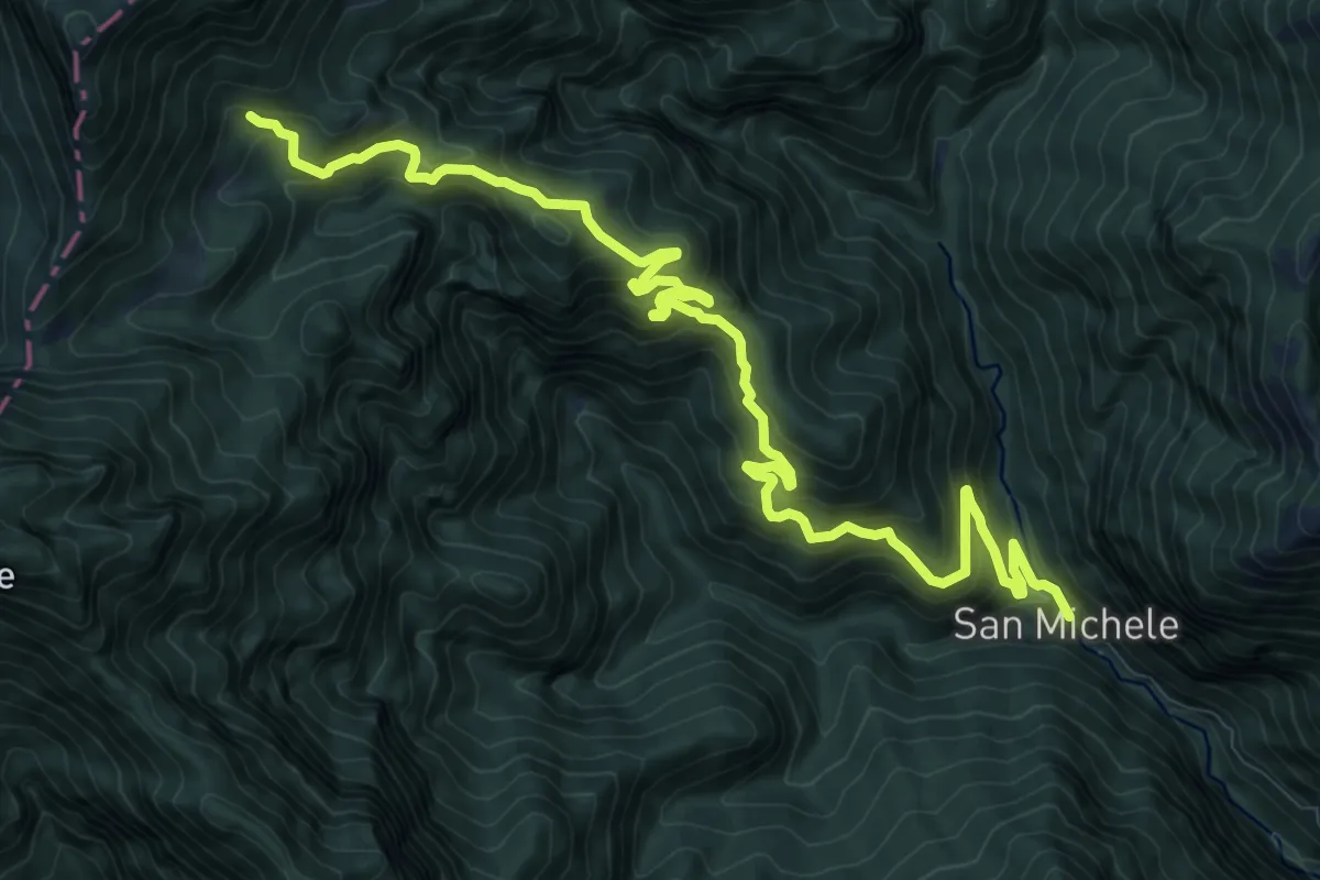
Demanding · Trail
Strada della Costa Monte di Mezzo
13.8 km · ↑ 1219 m · 5 h 53 min · 14 km away