Trails near Rovereto
137 hikes starting within 15 km, nearest first.
Nearest first, page 1 of 3
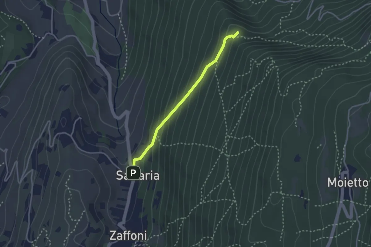
Medium · Summit
Giro del Pra della Malga
2.5 km · ↑ 166 m · 57 min · 2 km away
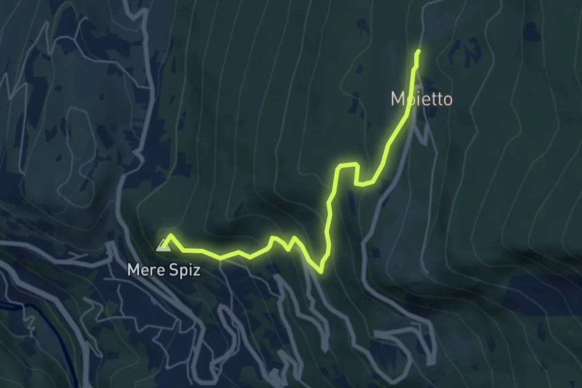
Medium · Summit
Giro dello Zàter
5.6 km · ↑ 410 m · 2 h 13 min · 3 km away
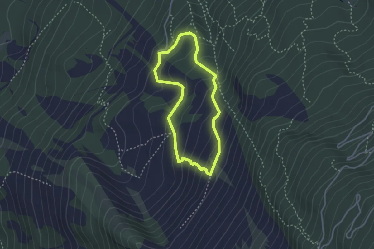
Medium · Trail
Orme dei Dinosauri
2.5 km · ↑ 183 m · 1 h 1 min · 4 km away
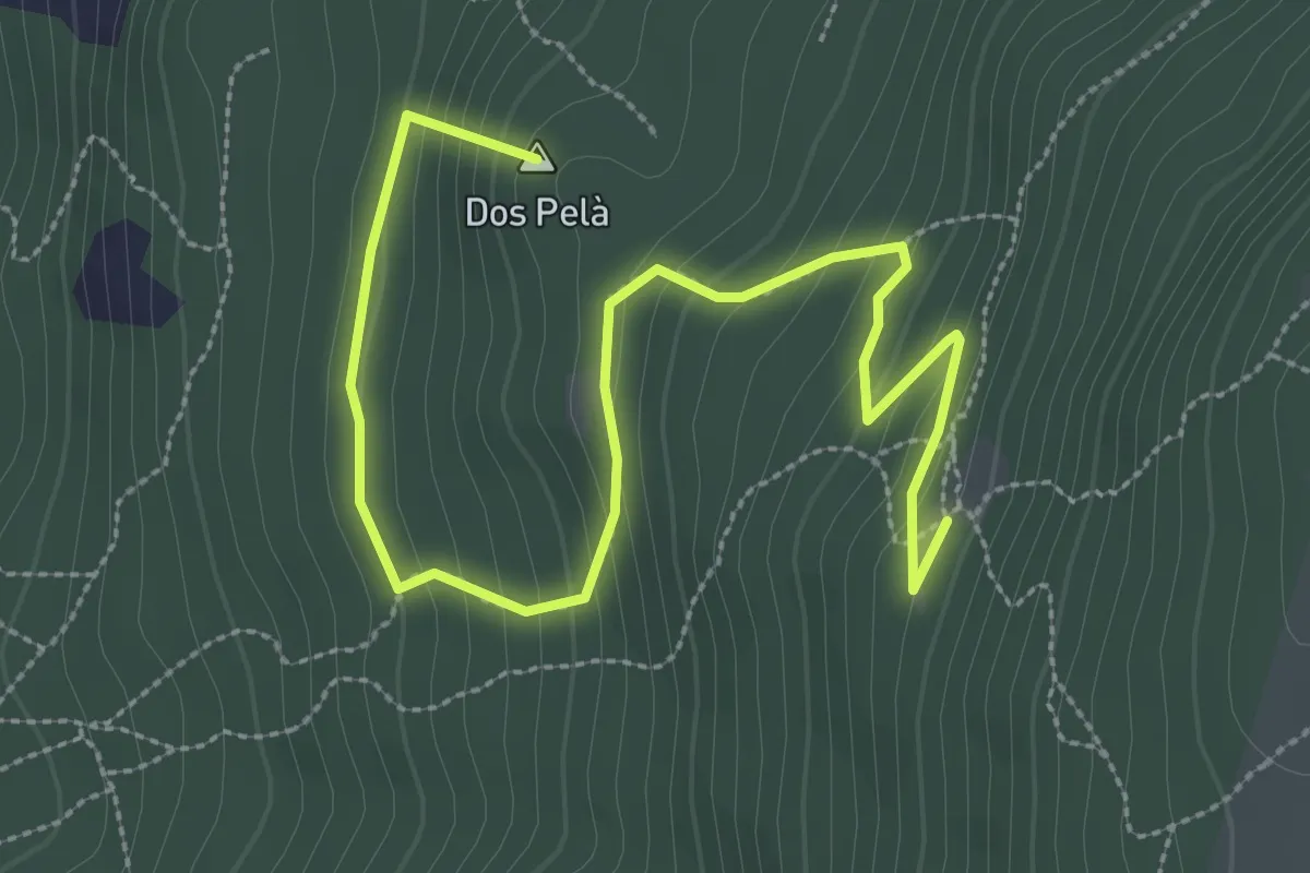
Medium · Summit
Giro della Malga Finonchio
4.1 km · ↑ 264 m · 1 h 33 min · 5 km away
Medium · Trail
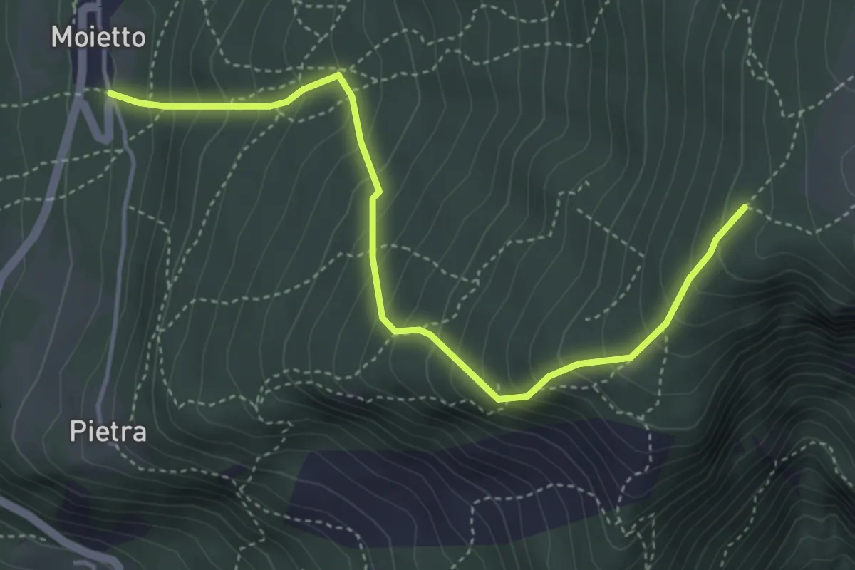
Giro della malga Finonchio
4.5 km · ↑ 484 m · 2 h 7 min · 5 km away
Expert · Summit
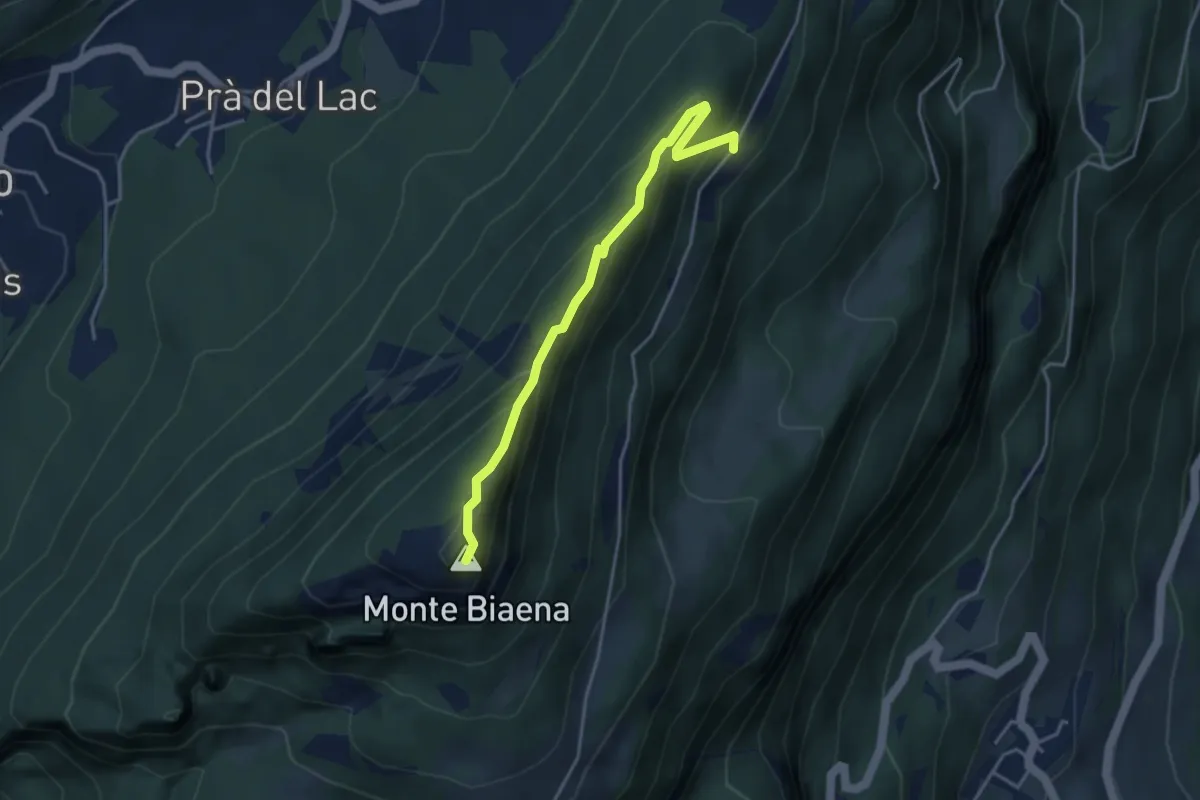
Via ferrata del Somator
3.8 km · ↑ 267 m · 1 h 29 min · 5 km away
Medium · Trail
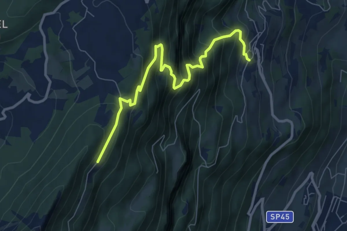
La direttissima
7.2 km · ↑ 732 m · 3 h 17 min · 5 km away
Demanding · Trail
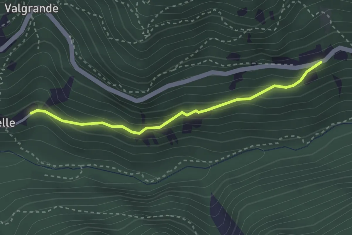
Senter dela Cesura
2.5 km · ↑ 202 m · 1 h 2 min · 5 km away
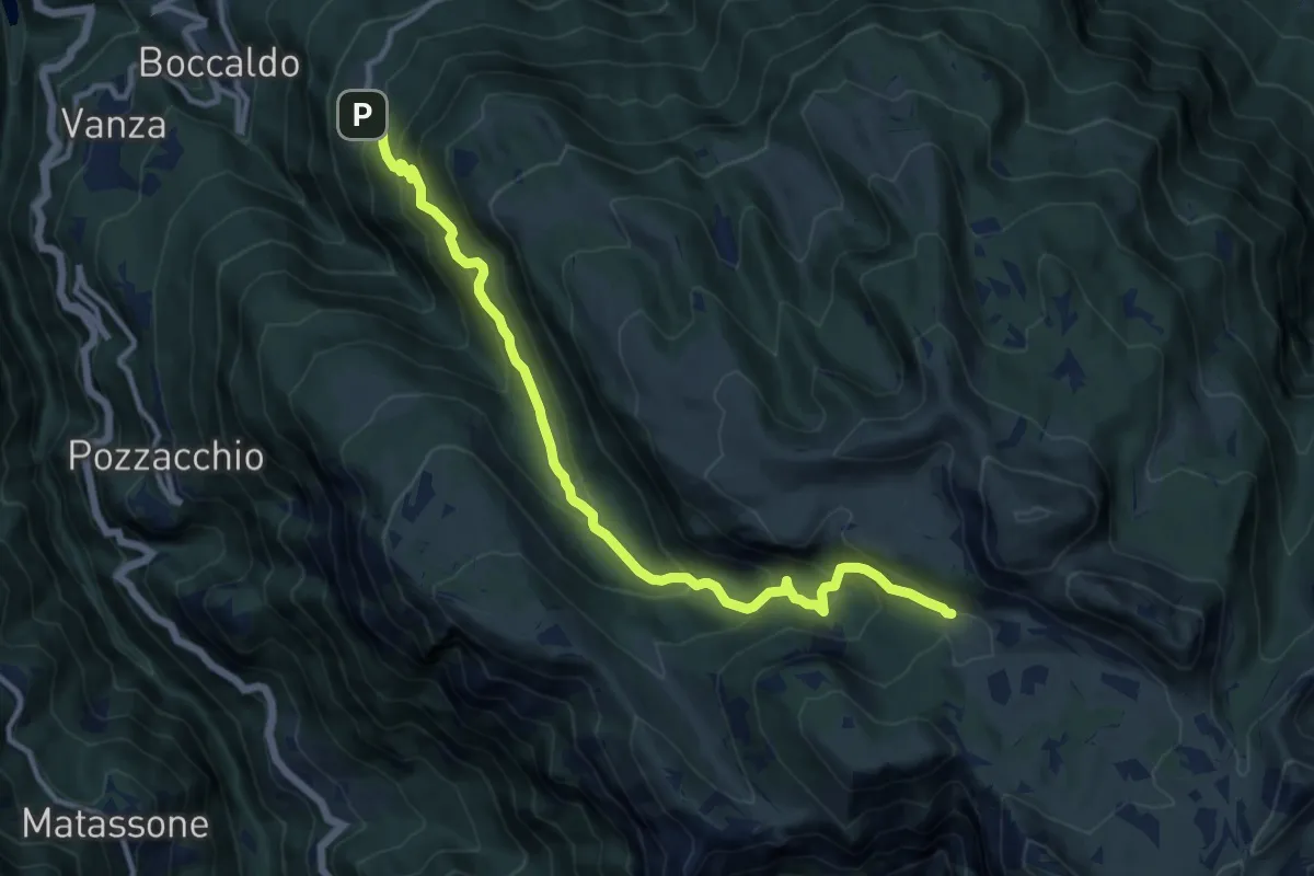
Demanding · Cabin
Giazzera – Rifugio "Vincenzo Lancia" (bivio 102 - 105 - 120 - 132)
12.5 km · ↑ 845 m · 4 h 47 min · 5 km away
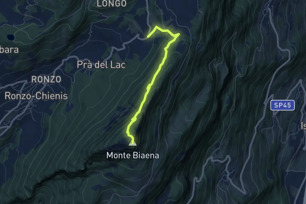
Demanding · Summit
Sentiero attrezzato de le Laste
6.0 km · ↑ 439 m · 2 h 22 min · 6 km away
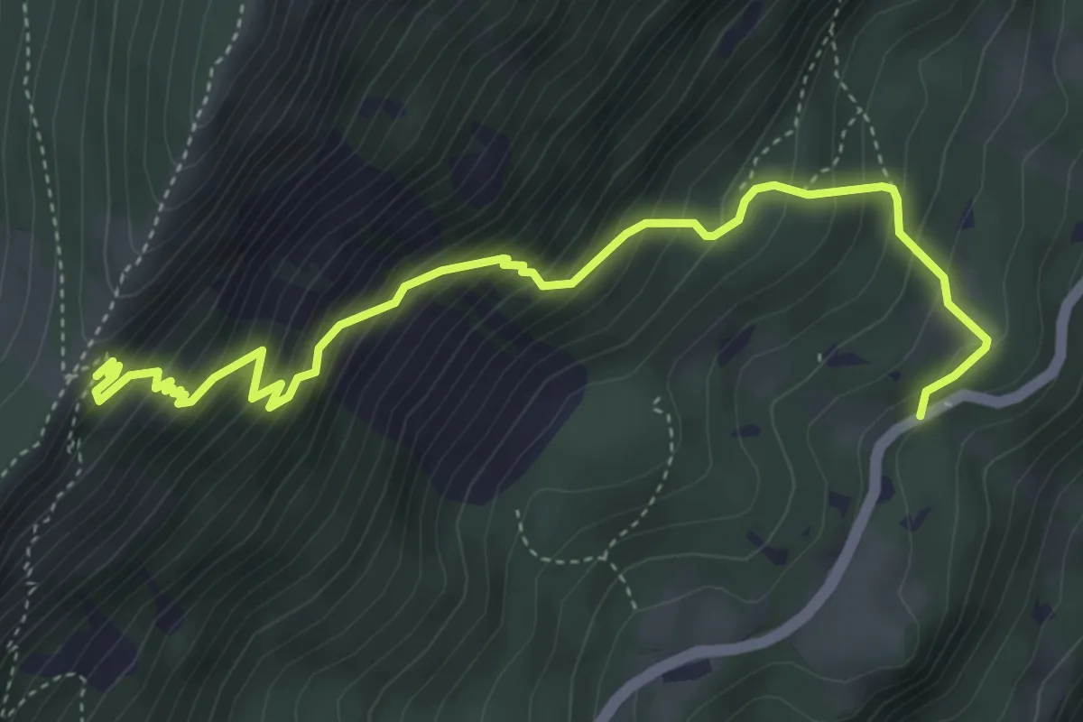
Medium · Trail
Sentiero dei Serbi
5.3 km · ↑ 647 m · 2 h 39 min · 6 km away
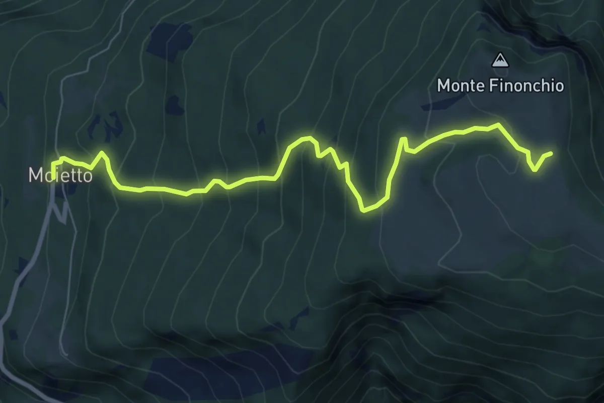
Medium · Trail
Moietto – Zom - Prà del Finonchio (bivio 104 - 107)
7.8 km · ↑ 665 m · 3 h 16 min · 6 km away
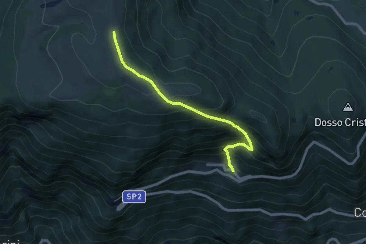
Medium · Trail
Sentiero della Padrècim
4.6 km · ↑ 450 m · 2 h 4 min · 6 km away
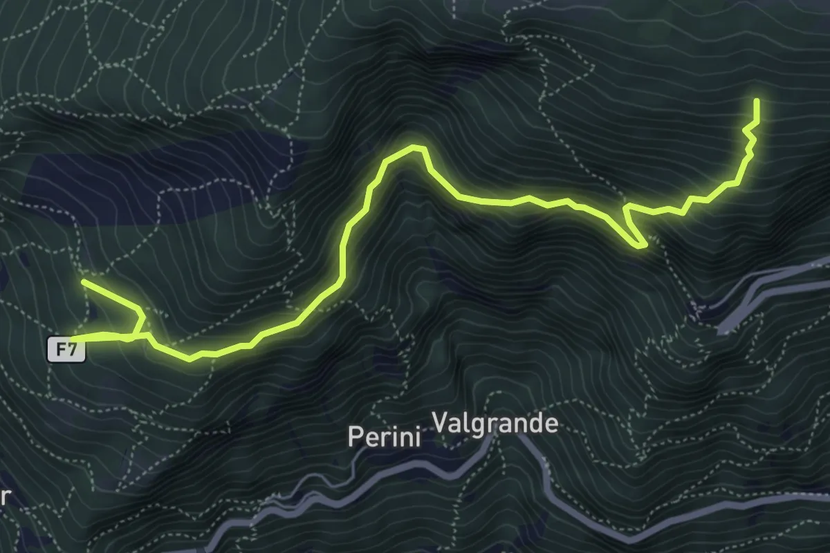
Medium · Trail
F7
7.2 km · ↑ 773 m · 3 h 23 min · 6 km away
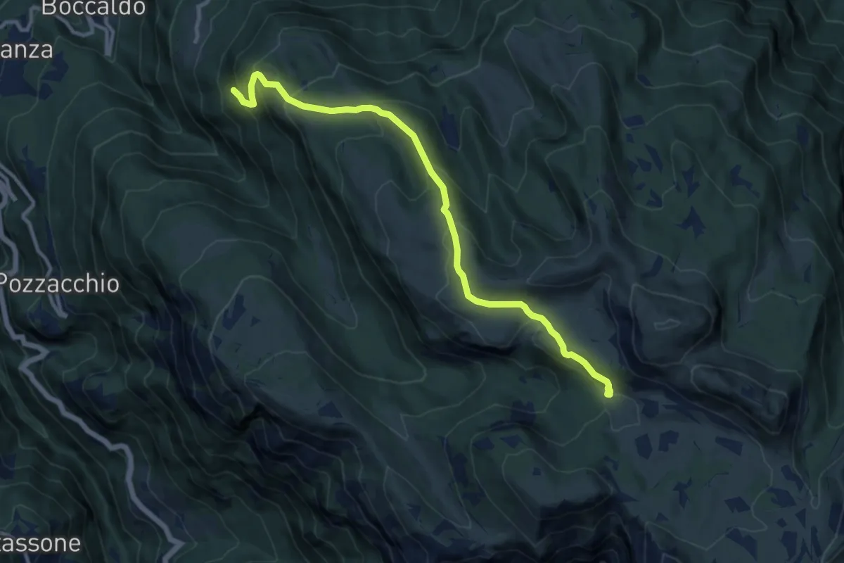
Medium · Cabin
Senter delle Ull
10.6 km · ↑ 676 m · 3 h 58 min · 6 km away
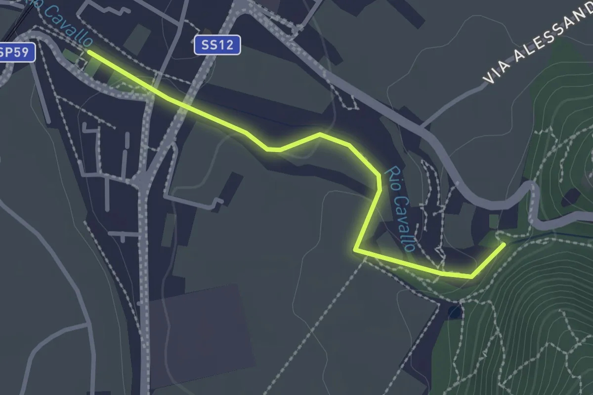
Medium · Trail
Lila e la magia del bosco
2.5 km · ↑ 45 m · 41 min · 6 km away
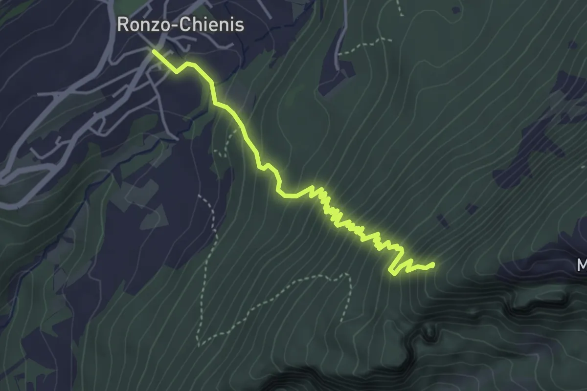
Medium · Trail
Ronzo Chienis – Incrocio strada forestale
4.4 km · ↑ 450 m · 2 h · 6 km away
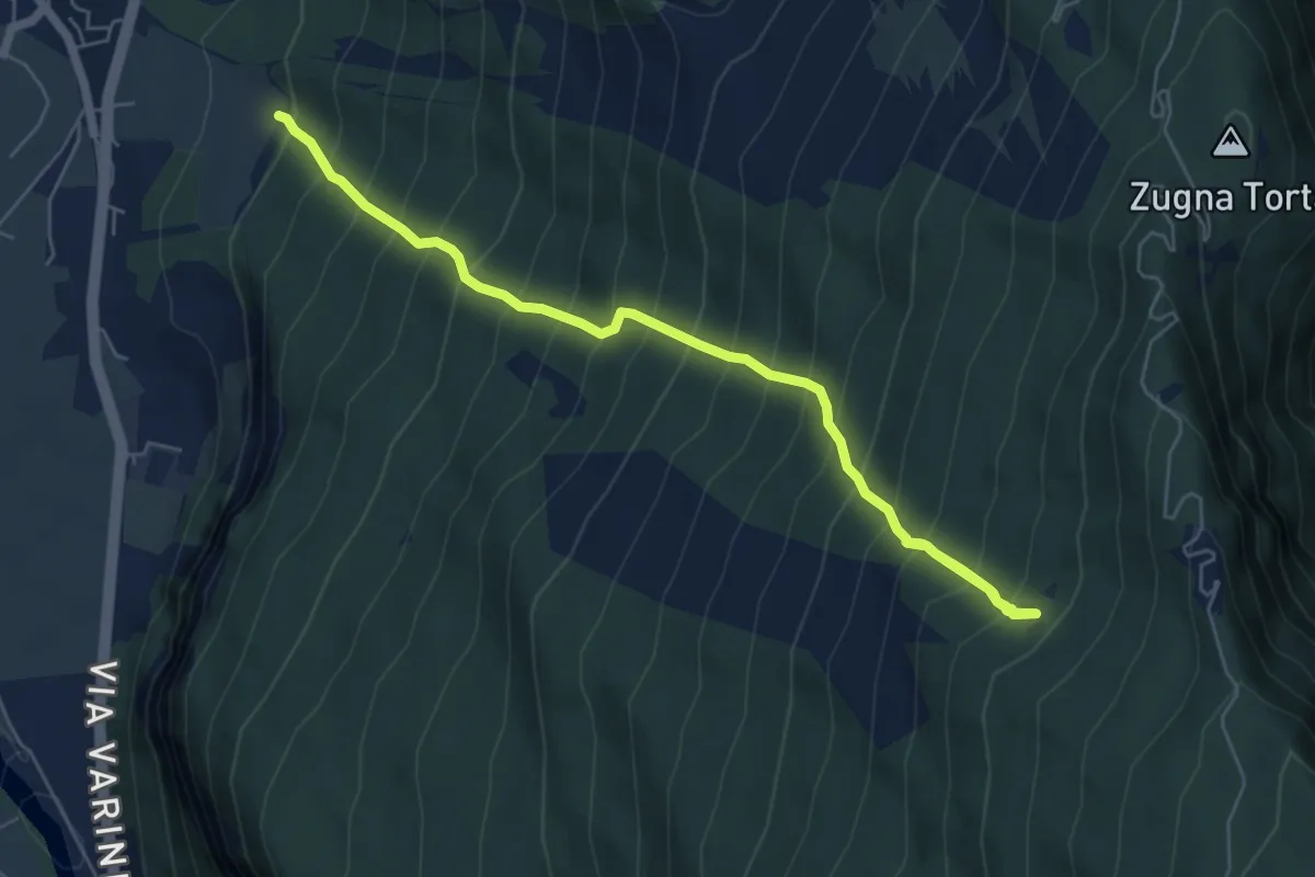
Demanding · Trail
Senter del Ciodo
6.7 km · ↑ 1129 m · 4 h 2 min · 7 km away
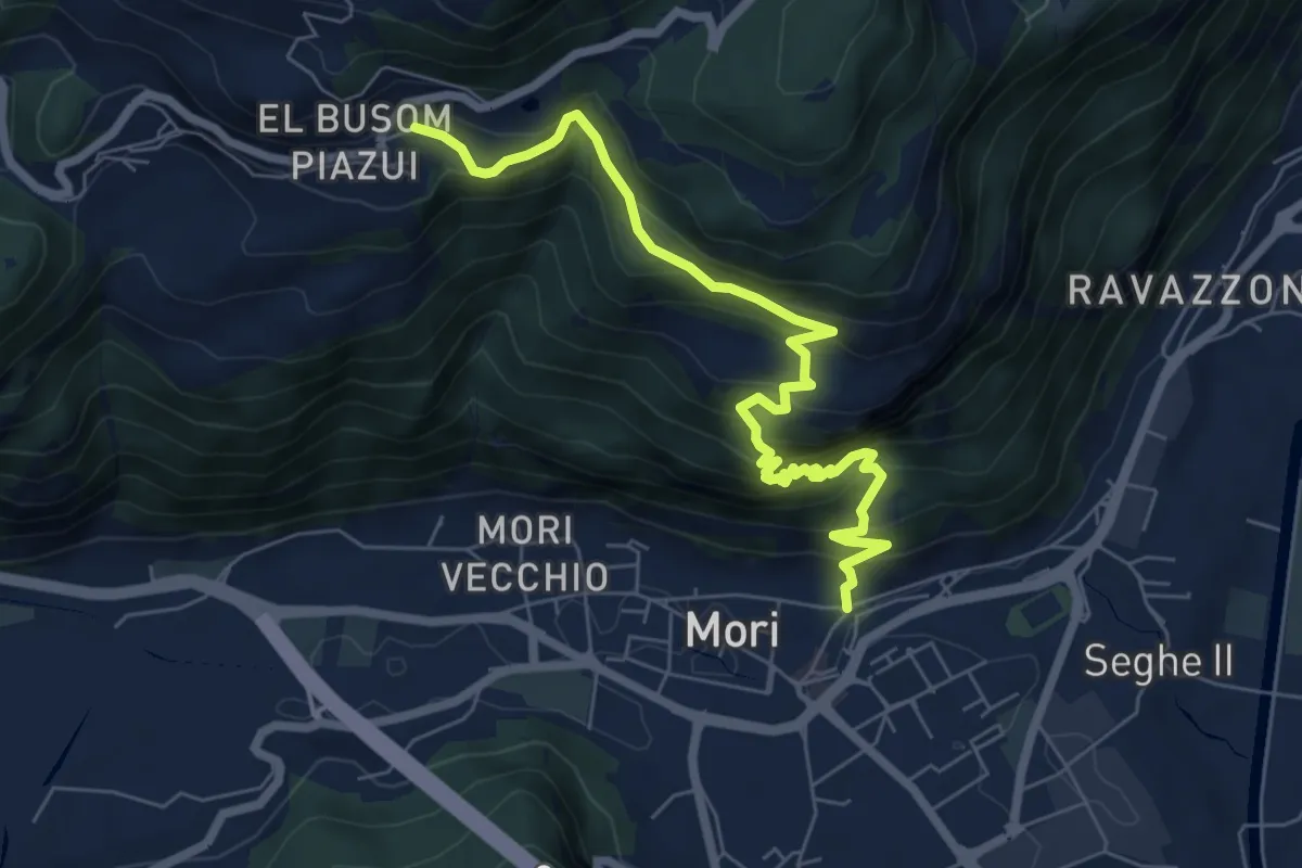
Demanding · Trail
Mori - Vicolo Zocchel – Nomesino
7.5 km · ↑ 832 m · 3 h 35 min · 7 km away
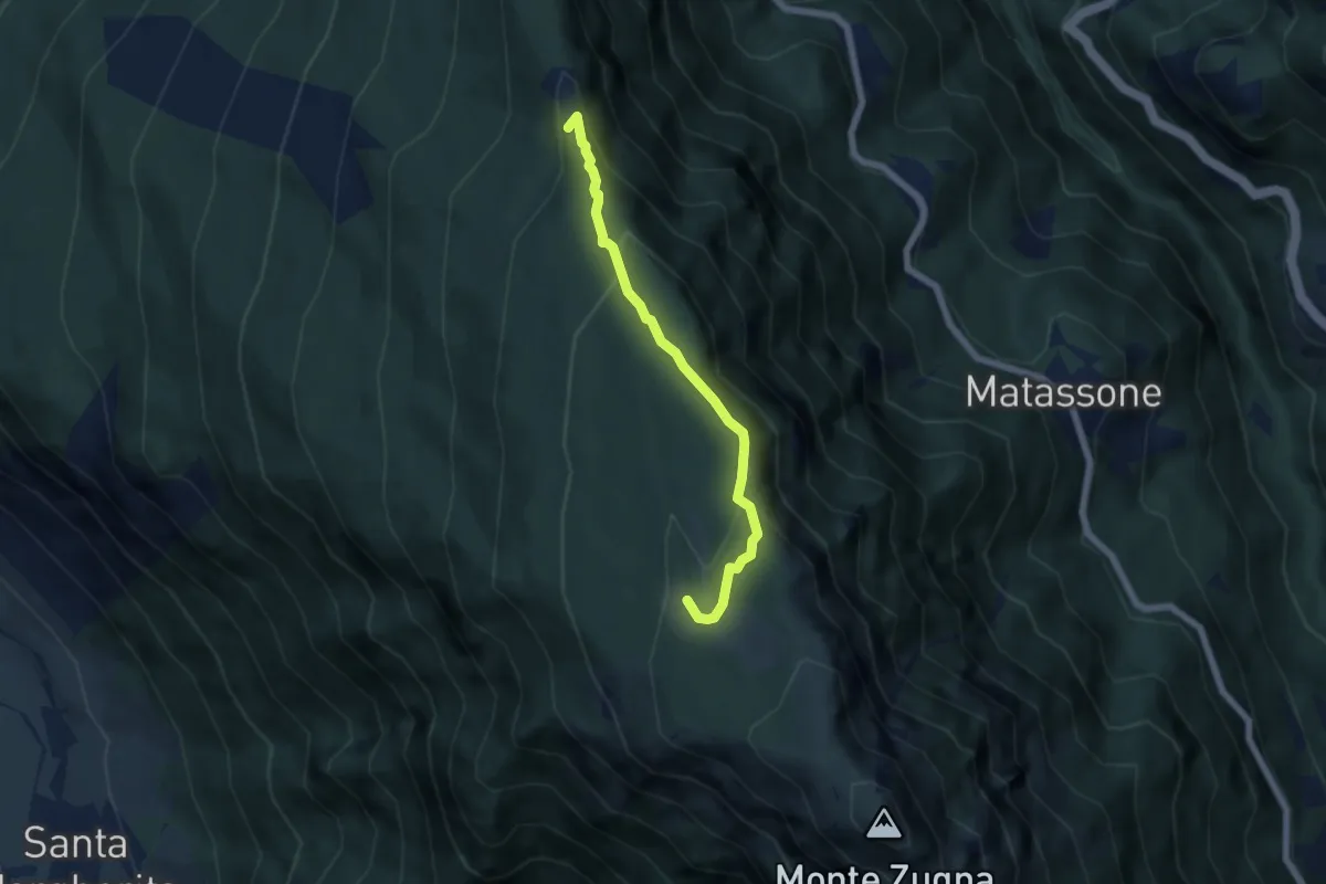
Medium · Cabin
Sentiero del Sinel
5.3 km · ↑ 276 m · 1 h 52 min · 7 km away
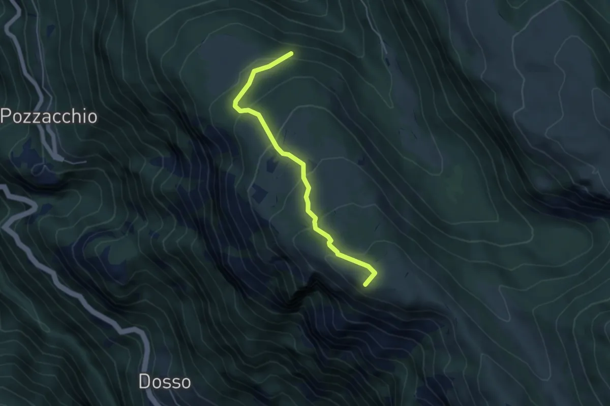
Medium · Summit
Presso Malga Monticello (bivio 119) – Selletta Battisti (bivio 122 - 122C)
4.5 km · ↑ 296 m · 1 h 43 min · 7 km away
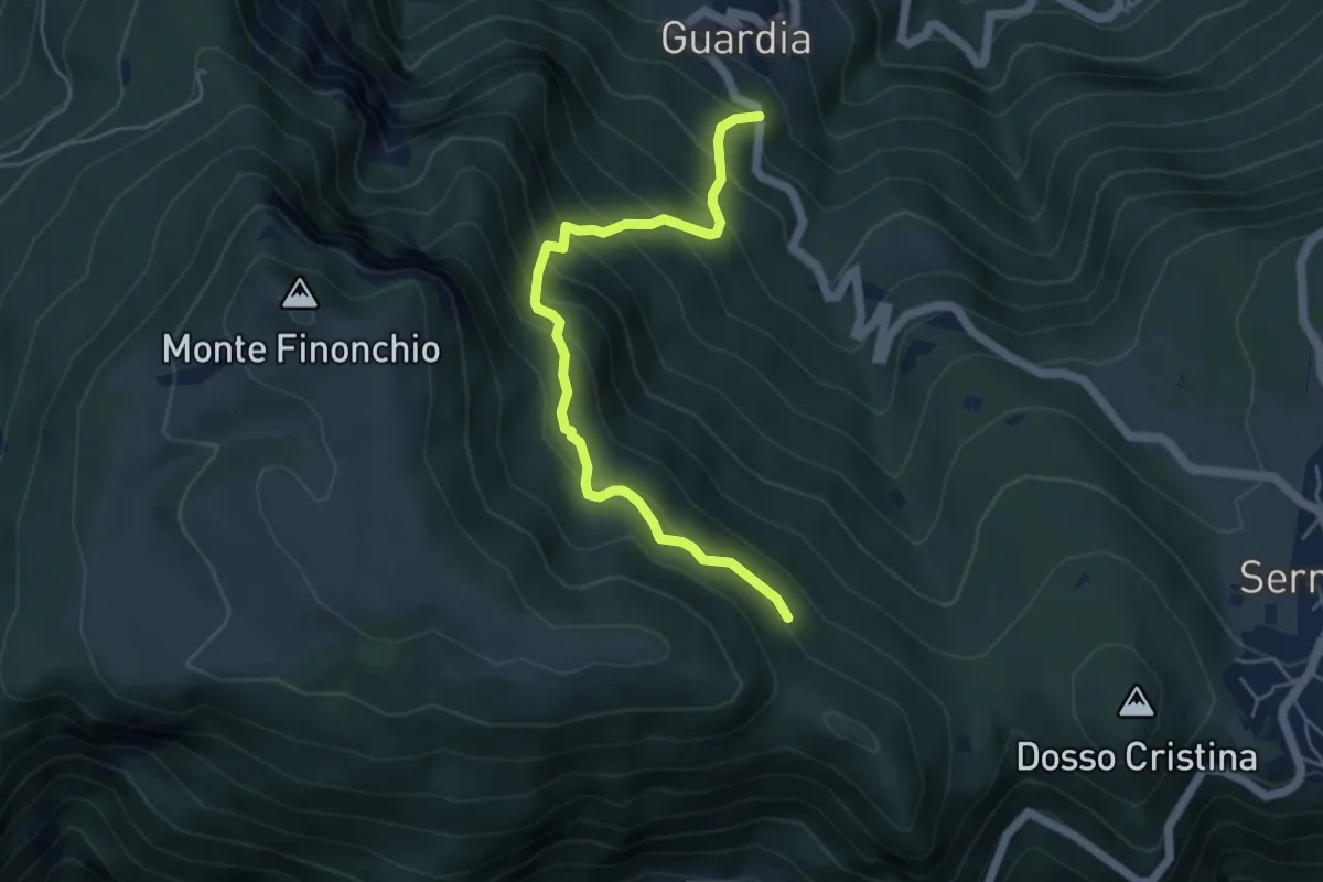
Medium · Trail
Guardia – Quota 1372 (bivio 104)
5.1 km · ↑ 553 m · 2 h 24 min · 7 km away
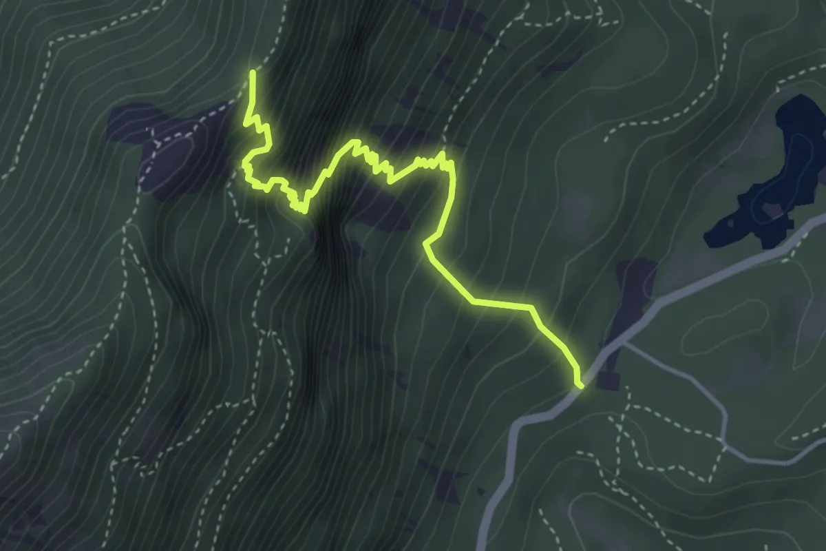
Demanding · Trail
Senter dei Dalderi
4.2 km · ↑ 597 m · 2 h 17 min · 7 km away
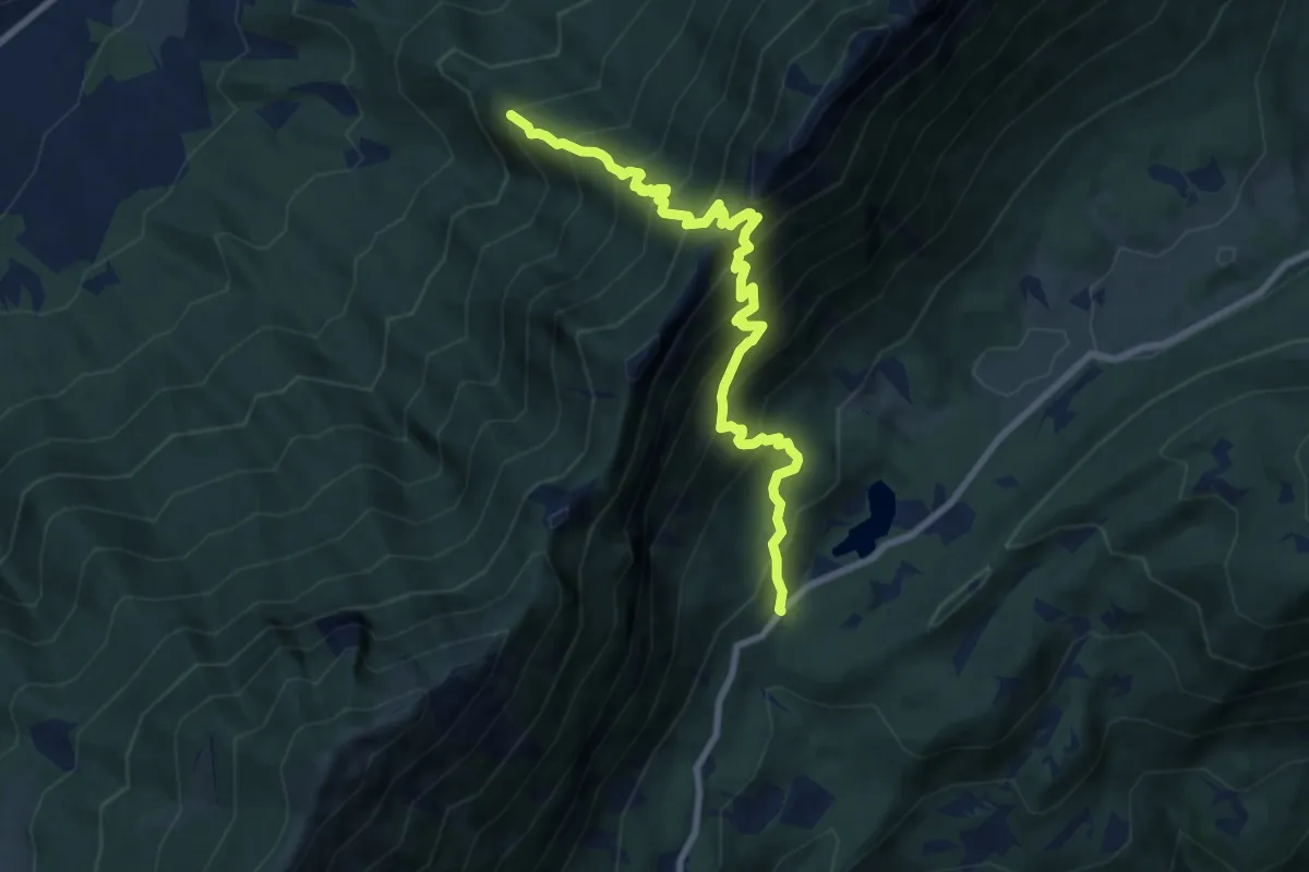
Demanding · Trail
Capitello de Doera - presso il Lago di Cei – Bait dei Amizi (bivio 635)
8.8 km · ↑ 1131 m · 4 h 32 min · 7 km away
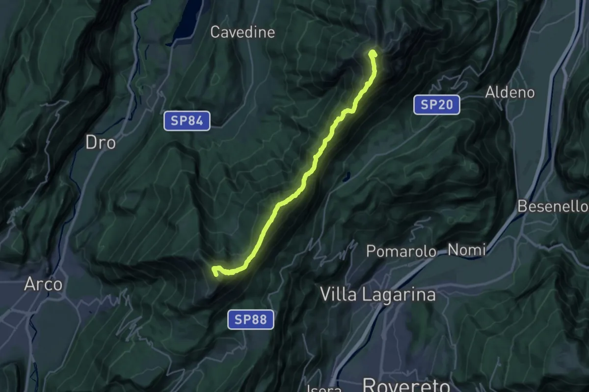
Demanding · Summit
Rifugio Stivo "Prospero Marchetti" (bivio 608 - 617B) – Versante nord Cima Cornetto (bivio 607 - 636)
22.8 km · ↑ 1865 m · 9 h 25 min · 7 km away
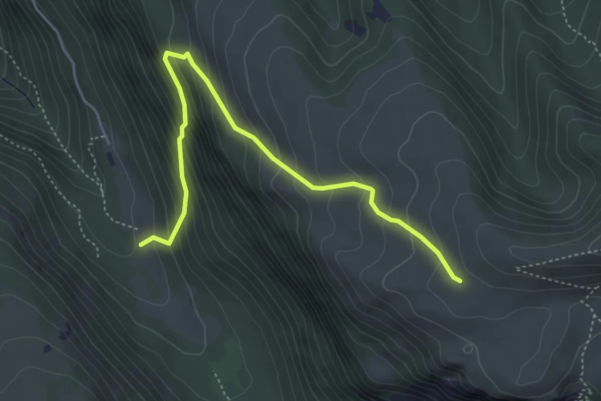
Demanding · Trail
Senter delle Pale
4.9 km · ↑ 467 m · 2 h 10 min · 8 km away
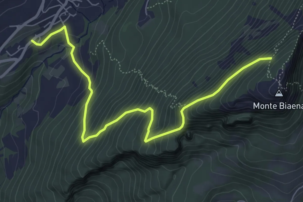
Medium · Cabin
Chienis – Presso Baita Biaena (bivio 671)
7.0 km · ↑ 664 m · 3 h 5 min · 8 km away
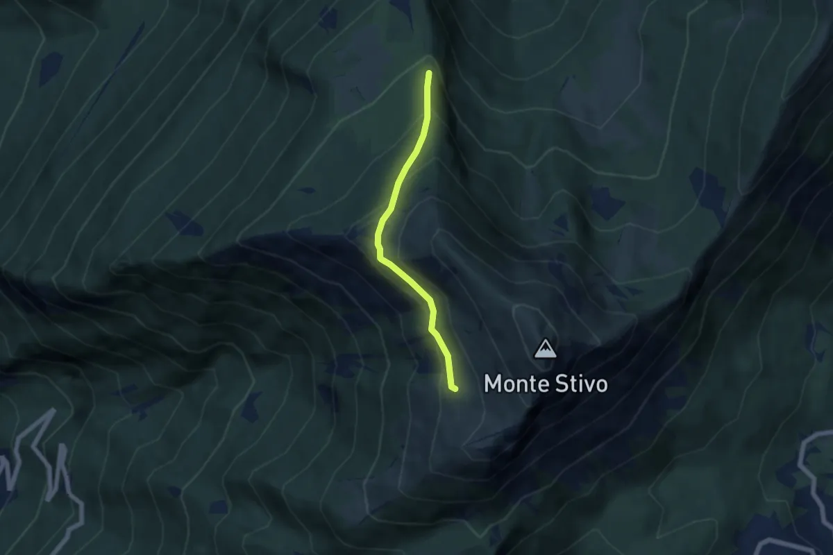
Medium · Trail
Scaletta - crocifisso (bivio 666) – Presso Malga Stivo (bivio 608)
4.6 km · ↑ 345 m · 1 h 50 min · 8 km away
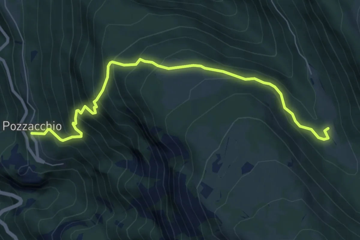
Medium · Trail
Pozzacchio – Pian del Cheserle (bivio 101 - 122 - 132B)
7.0 km · ↑ 664 m · 3 h 6 min · 8 km away
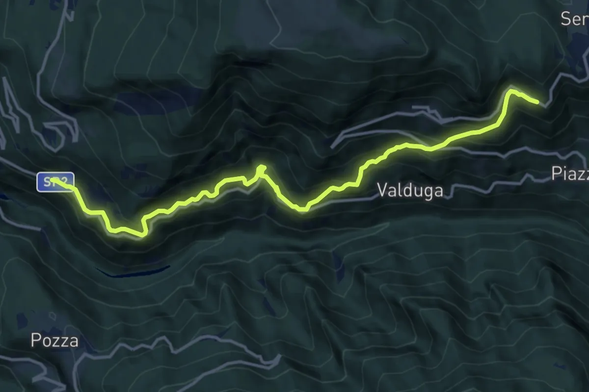
Demanding · Trail
Strada Vecia Terragnolo
13.3 km · ↑ 1189 m · 5 h 43 min · 8 km away
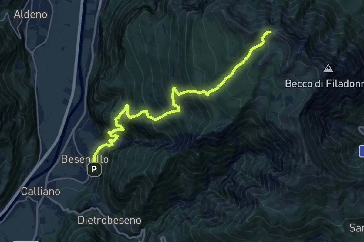
Demanding · Trail
Besenello - Masera – Quota 1977 Cresta Campigolet (bivio E450)
9.3 km · ↑ 1754 m · 5 h 15 min · 8 km away
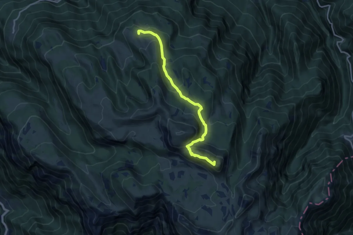
Medium · Summit
Sentiero Fausto Andrighettoni
10.3 km · ↑ 579 m · 3 h 42 min · 8 km away
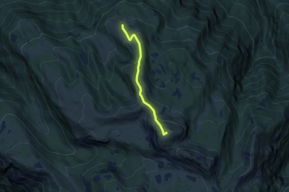
Medium · Summit
Malga Costoni (bivio 131A) – Sorgente presso rifugio "Vincenzo Lancia" (bivio 105 - 120)
6.2 km · ↑ 492 m · 2 h 33 min · 8 km away
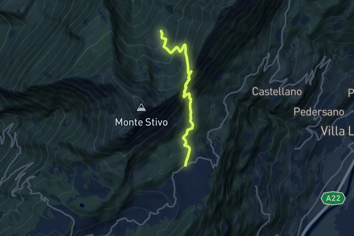
Medium · Trail
Passo Bordala – Presso Malga Campo di Arco
10.1 km · ↑ 745 m · 4 h · 8 km away
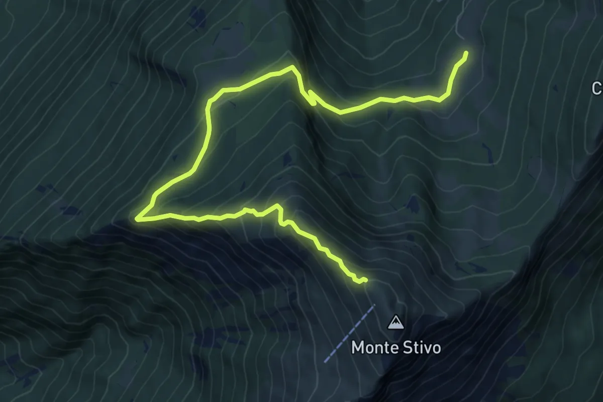
Medium · Trail
Sentiero del Coston
10.9 km · ↑ 749 m · 4 h 11 min · 8 km away
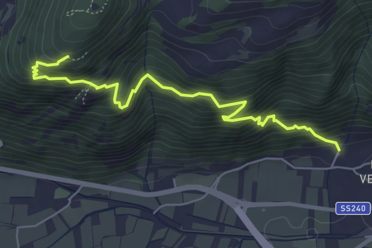
Demanding · Trail
Sentiero delle trincee
5.2 km · ↑ 652 m · 2 h 38 min · 8 km away
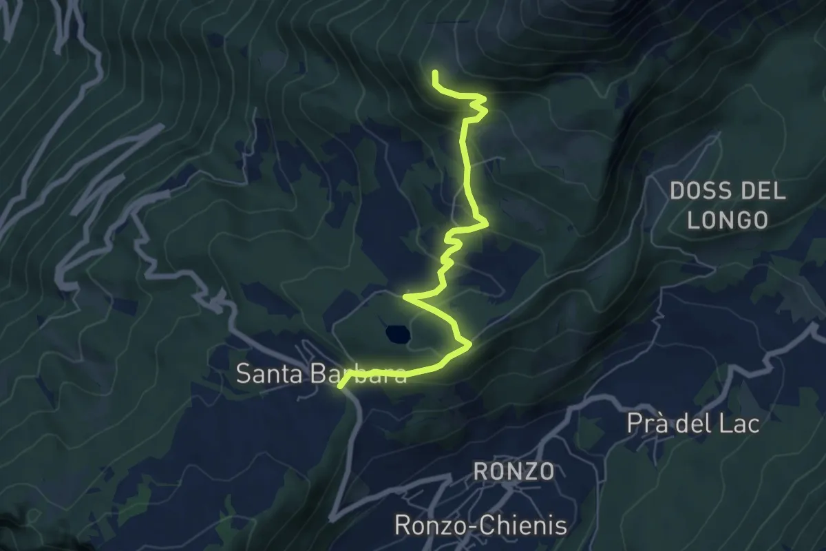
Medium · Trail
Passo Santa Barbara (bivio 637) – Le Prese (bivio 608)
6.2 km · ↑ 384 m · 2 h 18 min · 8 km away
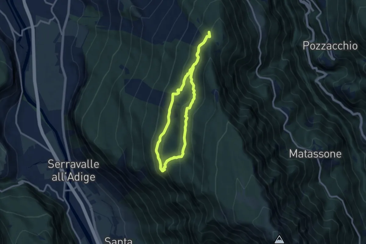
Medium · Trail
Sentiero delle trincee
7.0 km · ↑ 345 m · 2 h 30 min · 8 km away
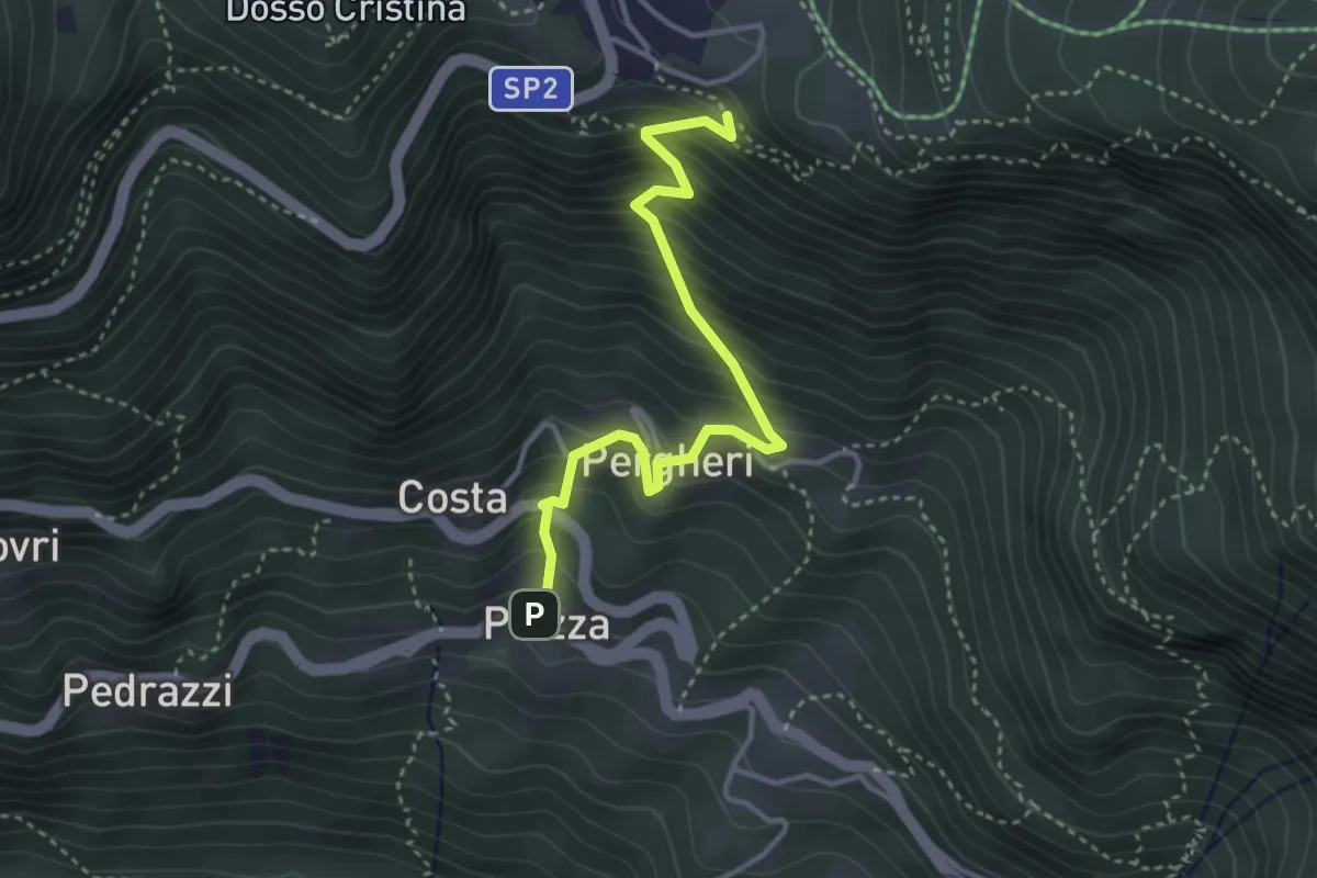
Medium · Trail
Piazza – Quota 1251 (bivio 137)
3.7 km · ↑ 488 m · 1 h 55 min · 8 km away
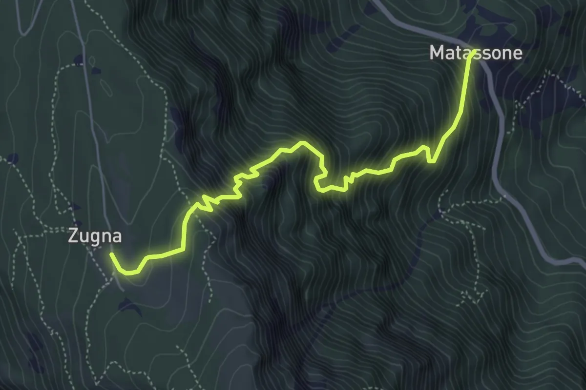
Demanding · Cabin
Senter del Fil
5.7 km · ↑ 918 m · 3 h 21 min · 8 km away
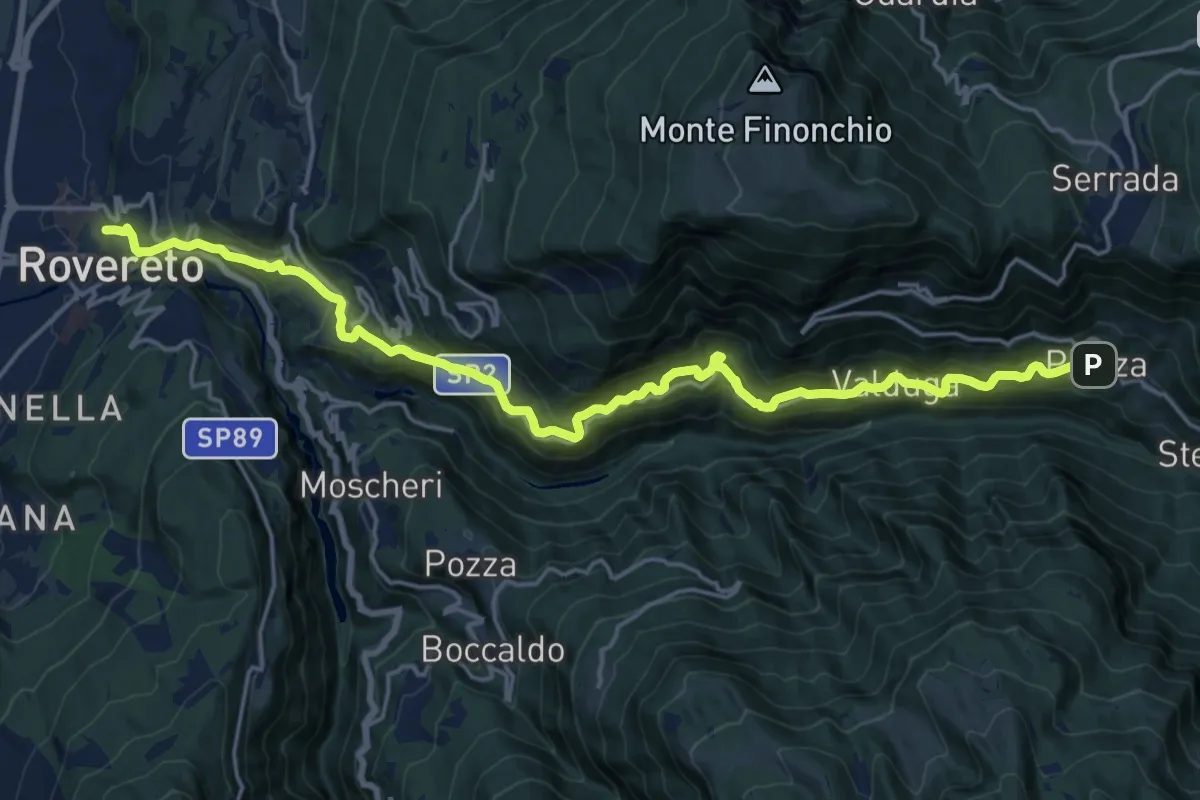
Demanding · Trail
Il Sentiero delle "Teragnòle"
21.3 km · ↑ 1292 m · 7 h 49 min · 8 km away
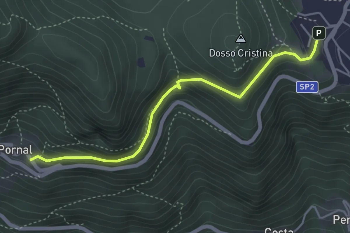
Medium · Trail
Giro del Pornal
3.9 km · ↑ 246 m · 1 h 27 min · 8 km away
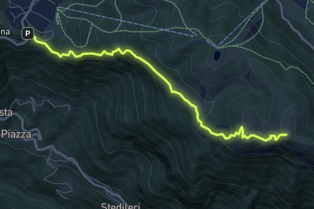
Medium · Summit
Sentiero della Forra del Lupo
7.4 km · ↑ 488 m · 2 h 49 min · 8 km away
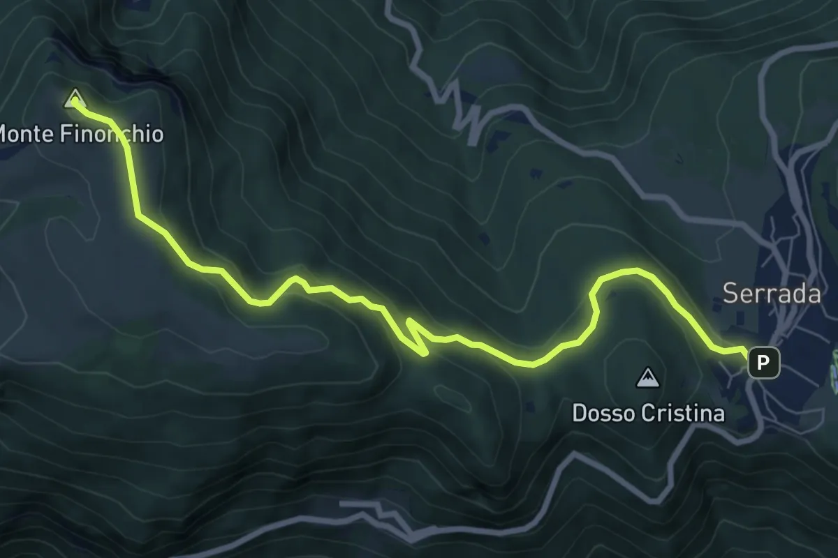
Medium · Summit
Serrada (bivio 136) – Rifugio Finonchio "Fratelli Filzi"
8.5 km · ↑ 401 m · 2 h 53 min · 8 km away
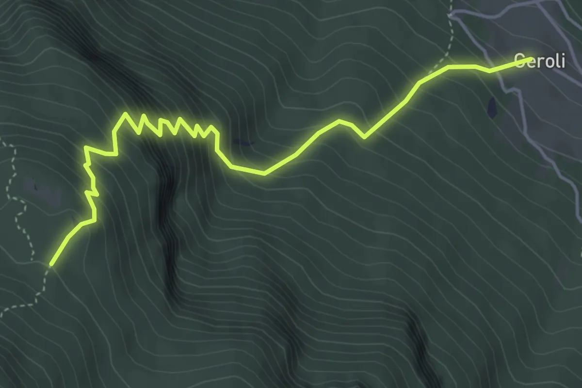
Medium · Trail
IT37
4.9 km · ↑ 644 m · 2 h 34 min · 9 km away
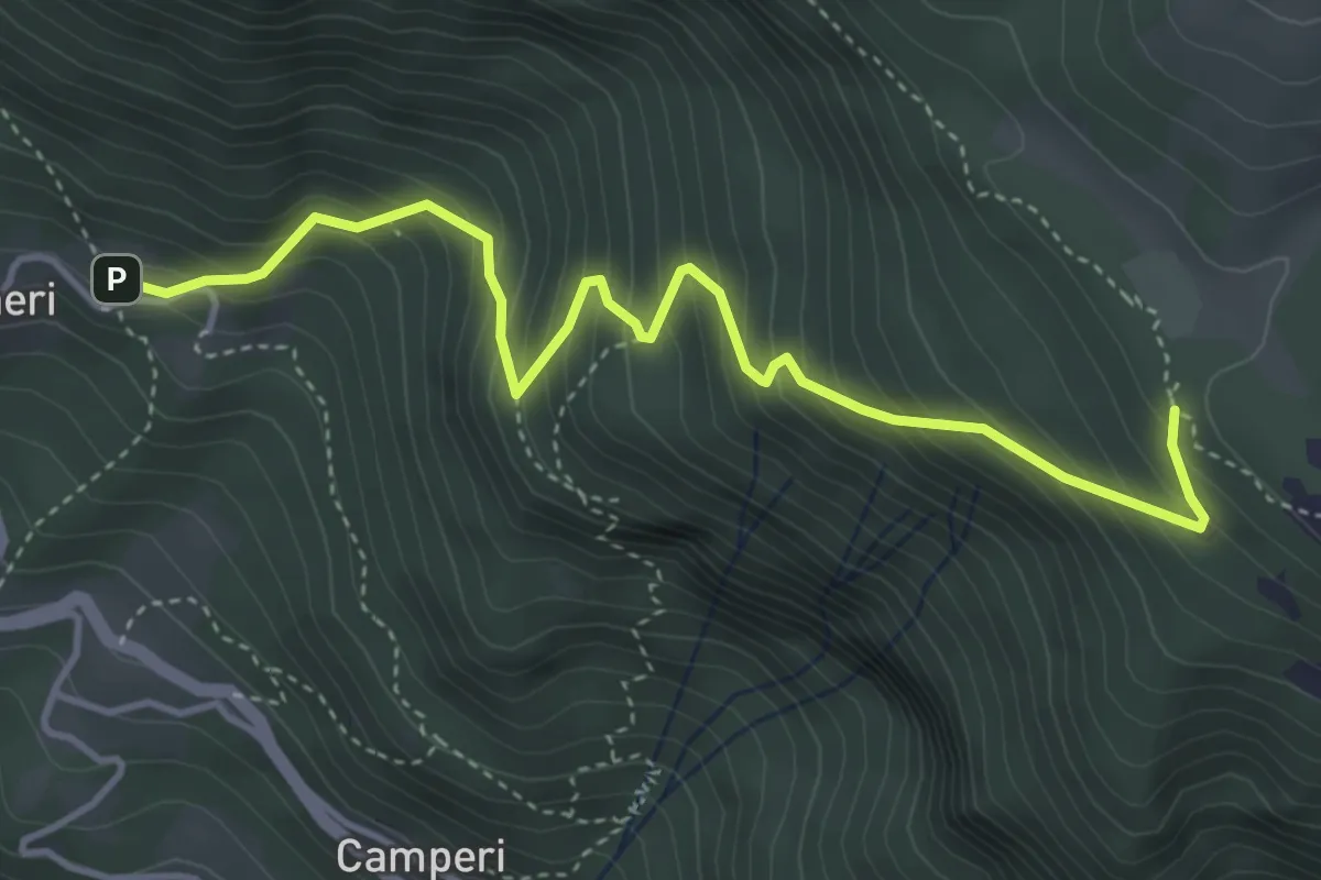
Medium · Trail
Senter dei Trogari
4.6 km · ↑ 535 m · 2 h 14 min · 9 km away
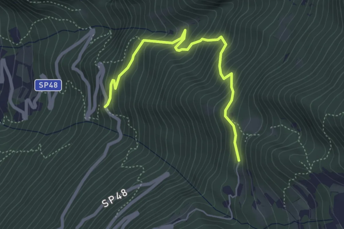
Medium · Trail
Salve Regina (bivio 608) – Monte Velo - bivio strada provinciale 48
4.9 km · ↑ 475 m · 2 h 11 min · 9 km away
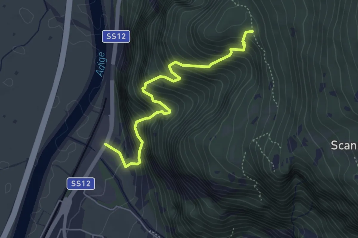
Medium · Trail
Presso posta vecchia di Besenello – Quota 766
4.6 km · ↑ 639 m · 2 h 28 min · 9 km away