Trails near Rovereto
137 hikes starting within 15 km, nearest first.
Nearest first, page 2 of 3
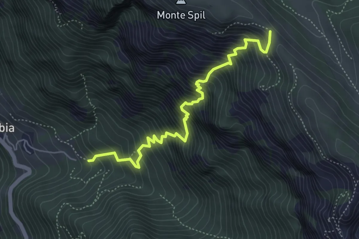
Demanding · Trail
Calchèra di Valmorbia – Valico del Menderle (bivio 119B)
5.3 km · ↑ 918 m · 3 h 14 min · 9 km away
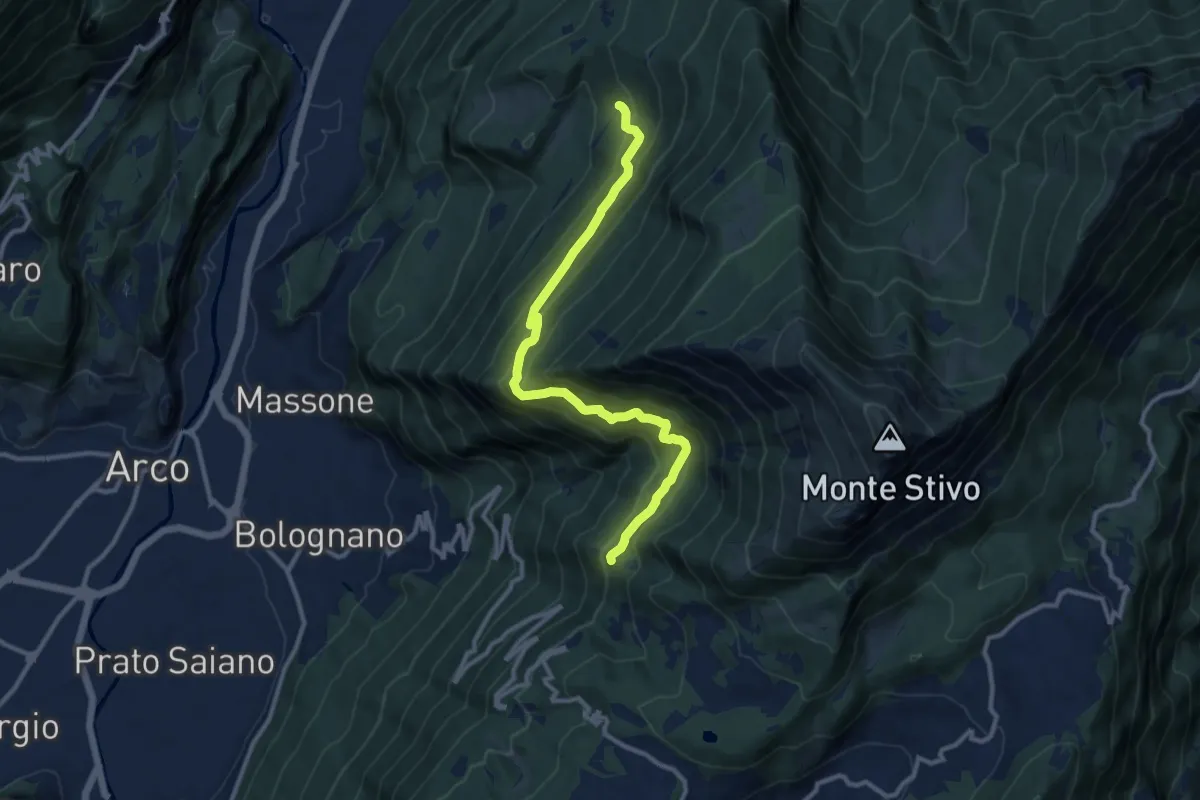
Demanding · Trail
Sentiero Caproni
11.5 km · ↑ 801 m · 4 h 27 min · 9 km away
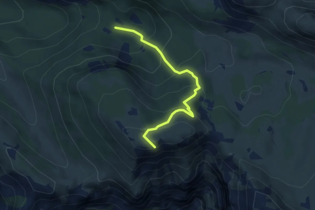
Medium · Summit
Pozza Rionda (bivio 101) – Presso Bocchetta dei Foxi (bivio 102)
4.1 km · ↑ 324 m · 1 h 41 min · 10 km away
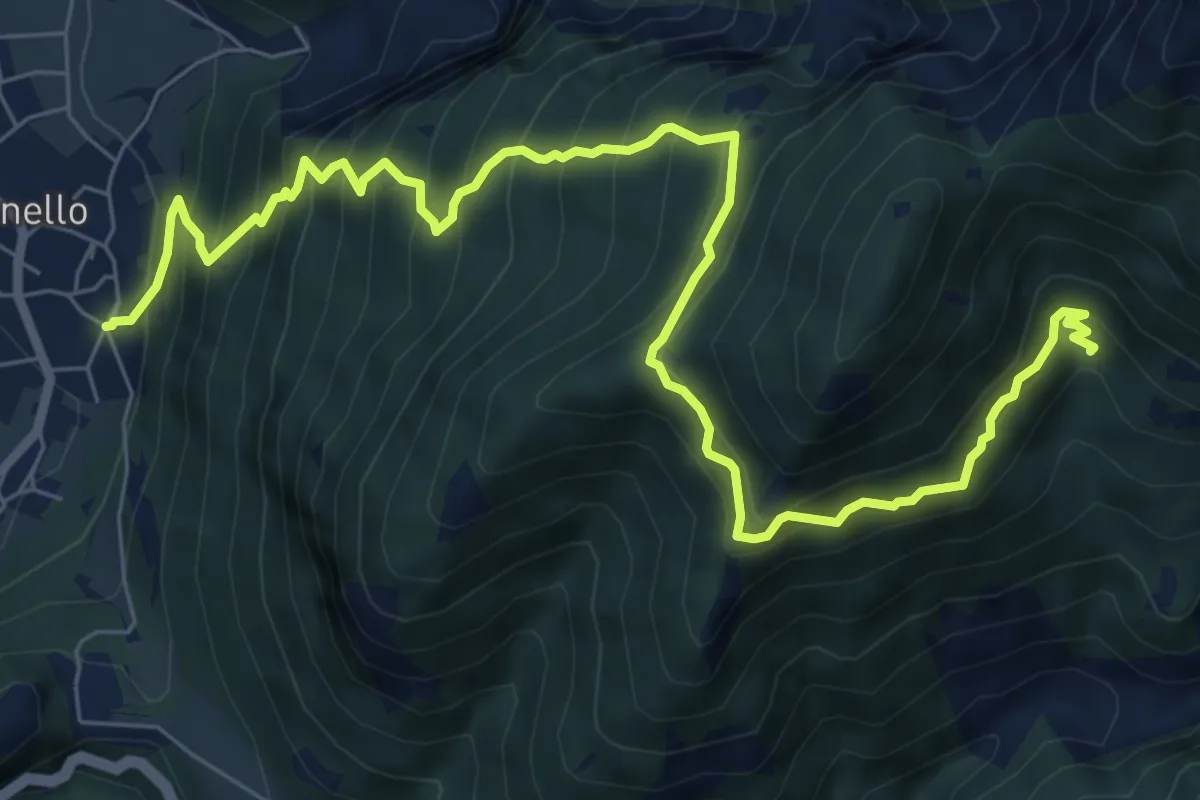
Demanding · Trail
Senter de la Croseta
9.6 km · ↑ 1118 m · 4 h 42 min · 10 km away
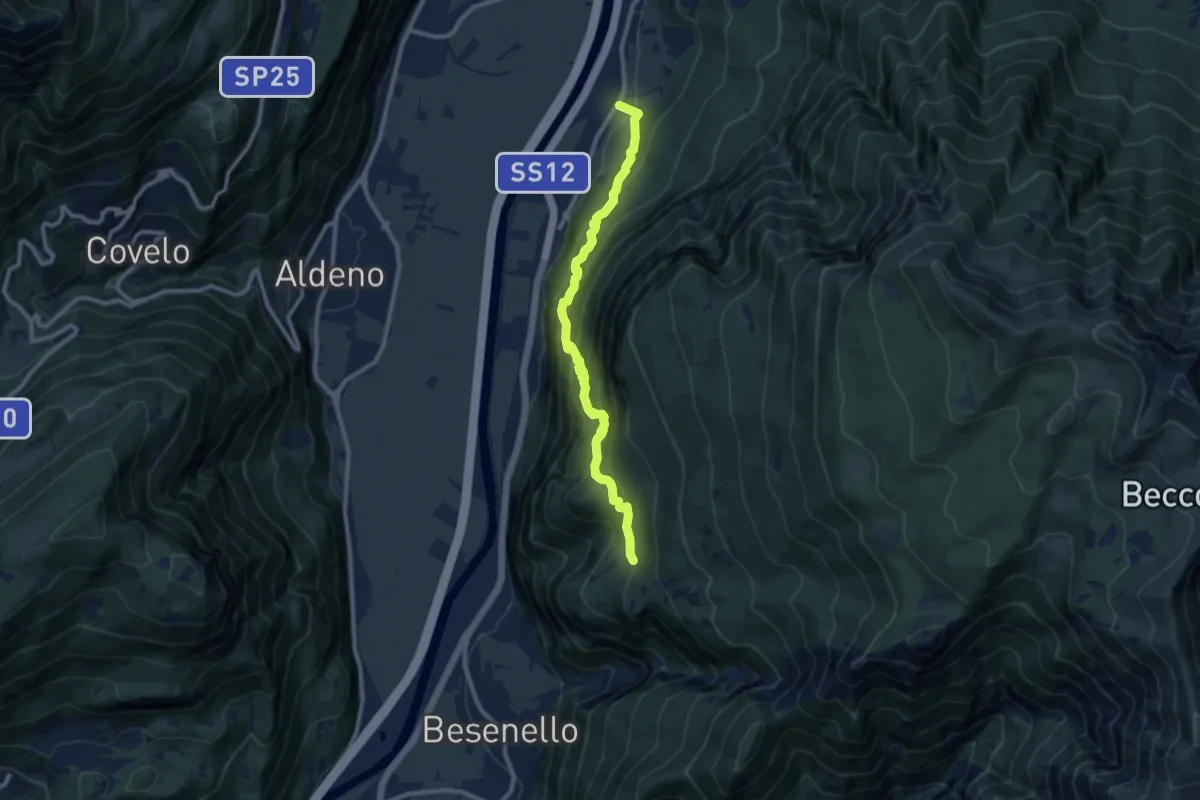
Demanding · Trail
Sentiero dell'Imperatore
9.7 km · ↑ 814 m · 4 h 4 min · 10 km away
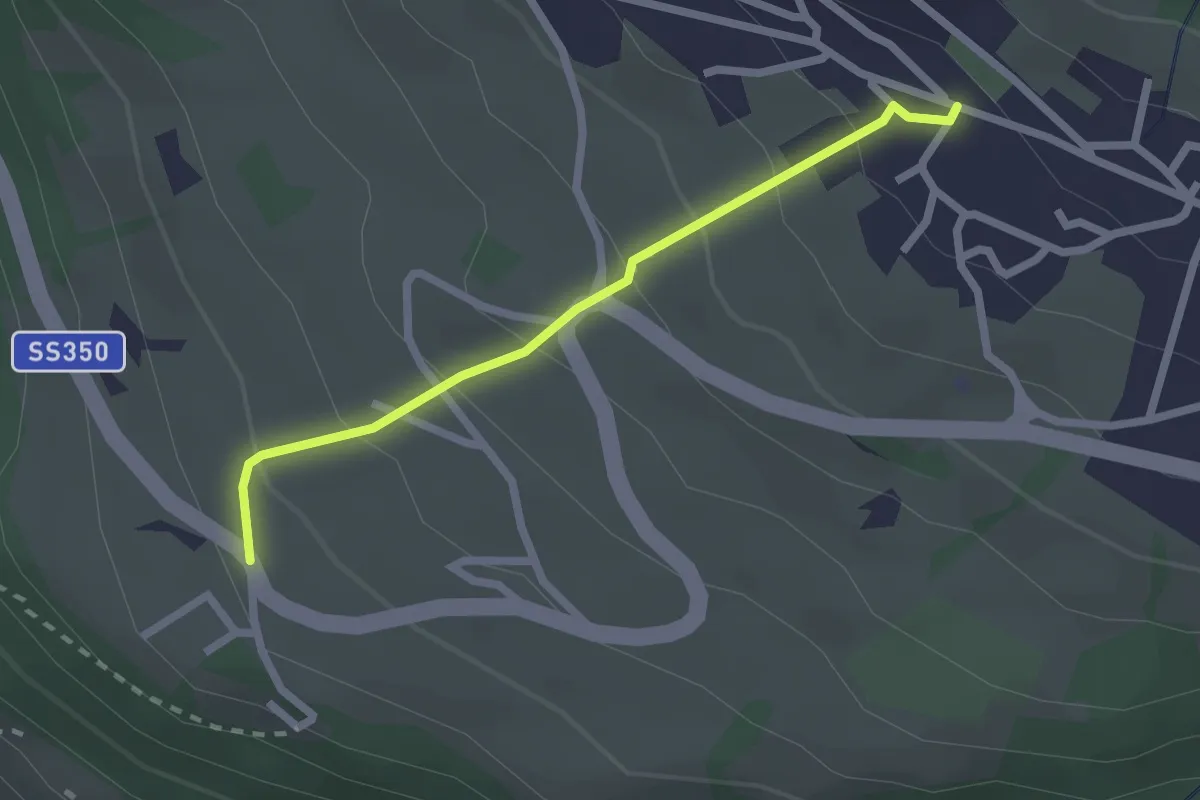
Easy · Trail
2
2.1 km · ↑ 173 m · 53 min · 10 km away
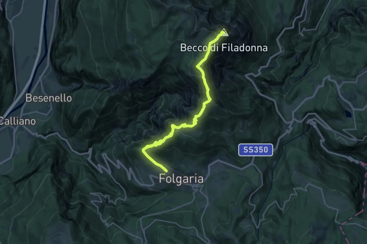
Demanding · Summit
Folgaria ovest – Bivacco Vigolana (bivio 435)
18.9 km · ↑ 1343 m · 7 h 23 min · 10 km away
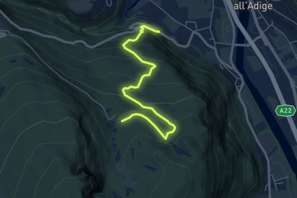
Medium · Trail
Castel Saiori - Chizzola
5.2 km · ↑ 409 m · 2 h 6 min · 10 km away
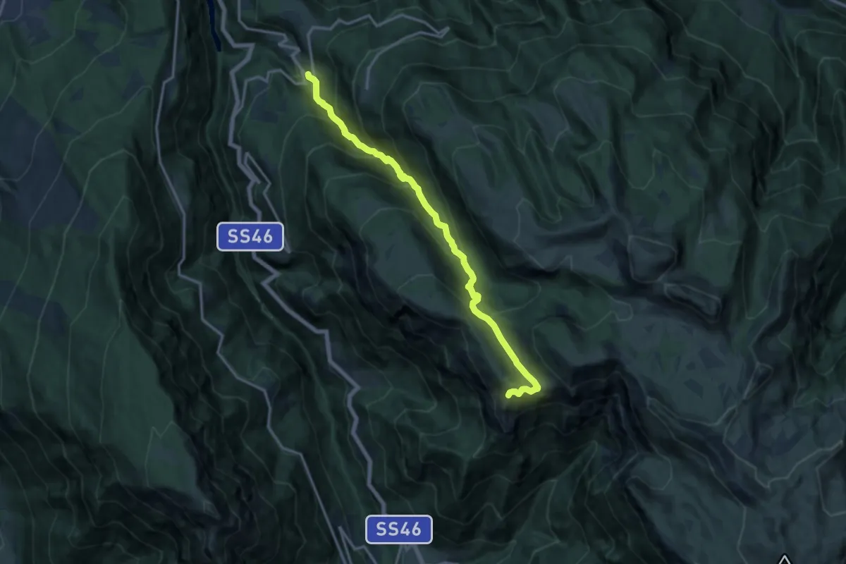
Demanding · Trail
Boccaldo di Trambileno – Selletta Battisti (bivio 119B - 122C)
13.7 km · ↑ 1177 m · 5 h 47 min · 10 km away
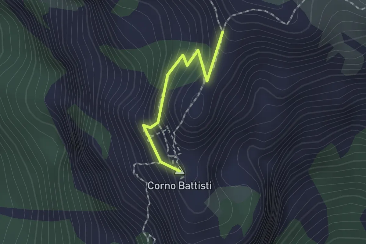
Demanding · Summit
Via ferrata "Franco Galli"
1.2 km · ↑ 134 m · 35 min · 10 km away
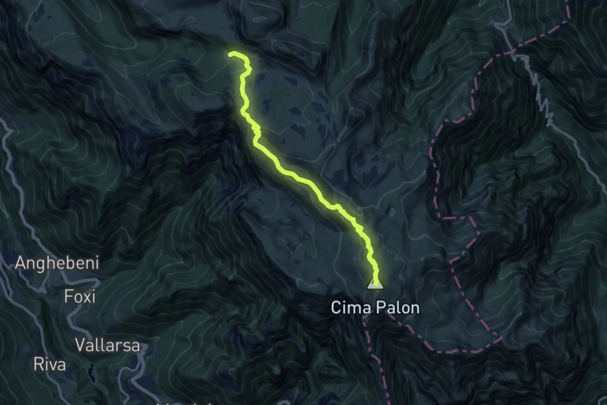
Expert · Summit
Rifugio "Vincenzo Lancia" (bivio 101 - 102 - 120 - 132) – Rifugio Generale "Achille Papa" (bivio 120)
11.8 km · ↑ 498 m · 3 h 52 min · 10 km away
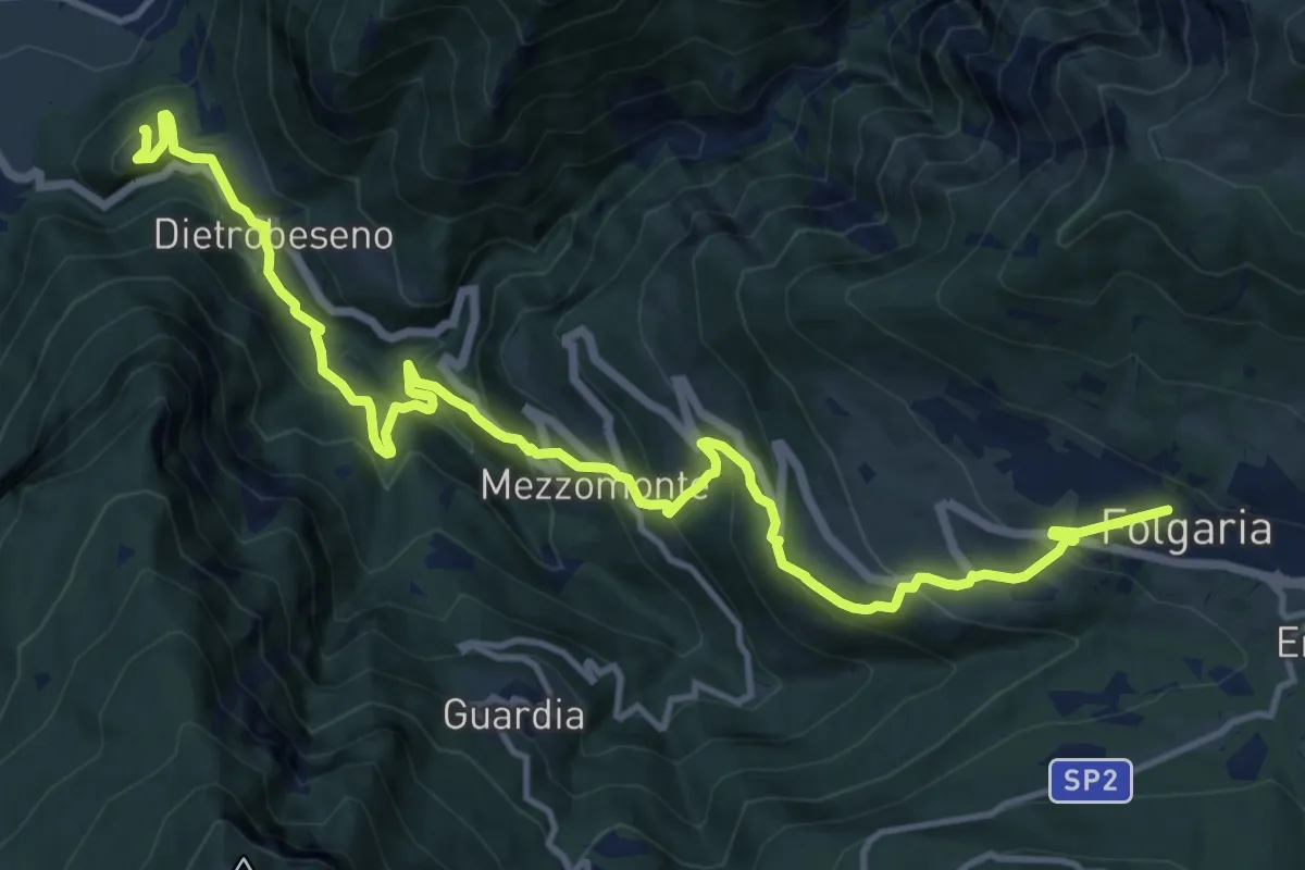
Demanding · Trail
Dal Castello al Monte
16.8 km · ↑ 1254 m · 6 h 40 min · 10 km away
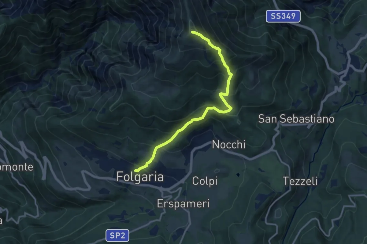
Demanding · Trail
Folgaria – Versante sud Cornetto di Folgaria
9.5 km · ↑ 841 m · 4 h 3 min · 10 km away
Medium · Trail
Strada delle Malghe (bivio 133A) – Sella delle Pozze (bivio 120)
7.9 km · ↑ 467 m · 2 h 53 min · 10 km away
Demanding · Summit
Sentiero dei Carboneri
11.9 km · ↑ 1188 m · 5 h 22 min · 10 km away
Medium · Trail
Valmorbia – Sella della Trappola (bivio 122B - 122C)
5.7 km · ↑ 763 m · 3 h · 10 km away
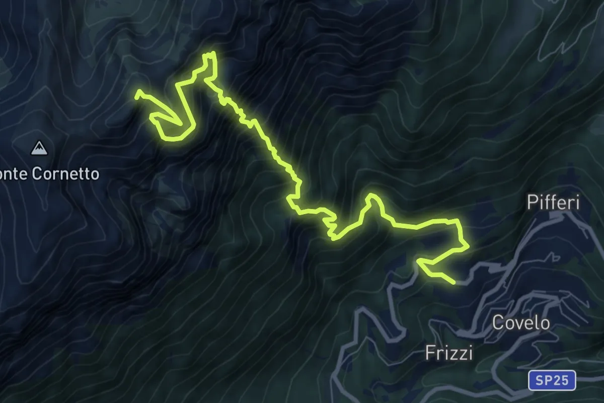
Expert · Summit
Sentiero alpinistico del Coraza
10.9 km · ↑ 2150 m · 7 h 14 min · 11 km away
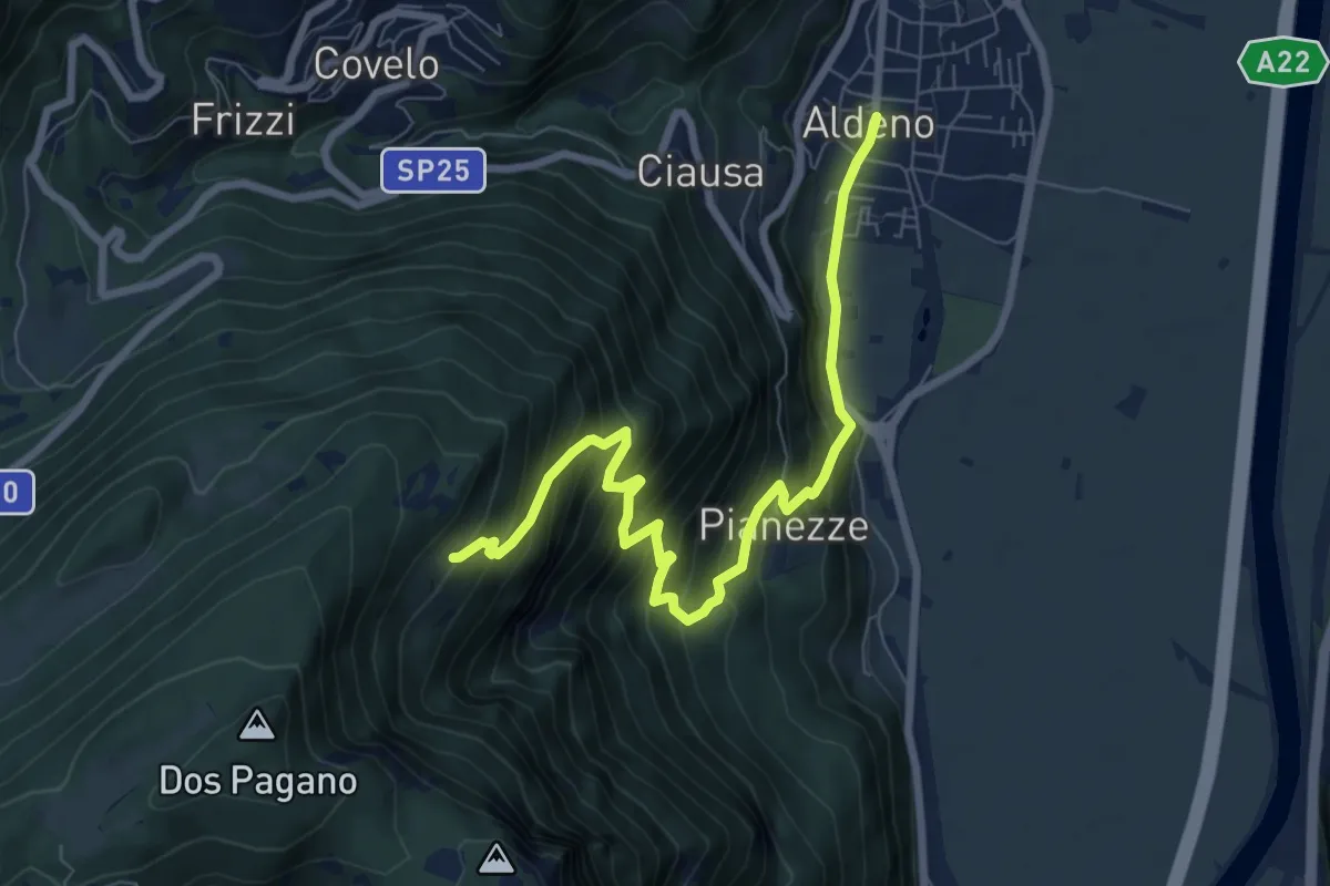
Demanding · Cabin
Sentiero di Valstornada
8.3 km · ↑ 852 m · 3 h 49 min · 11 km away
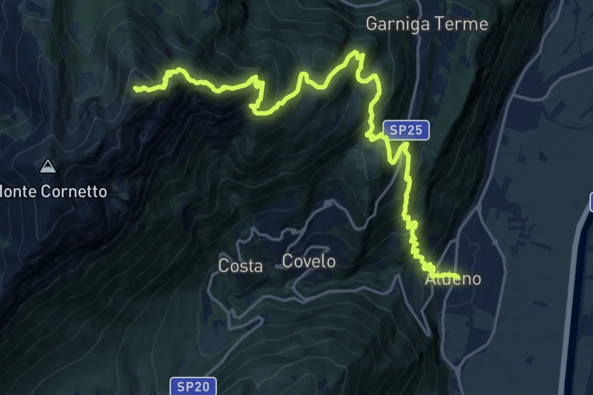
Demanding · Summit
Via ferrata dei Sparavèi
18.6 km · ↑ 1945 m · 8 h 37 min · 11 km away
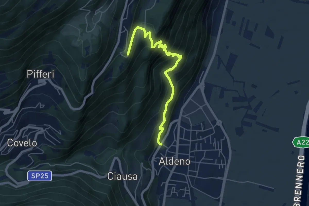
Demanding · Trail
Sentiero del Perch
5.0 km · ↑ 542 m · 2 h 21 min · 11 km away
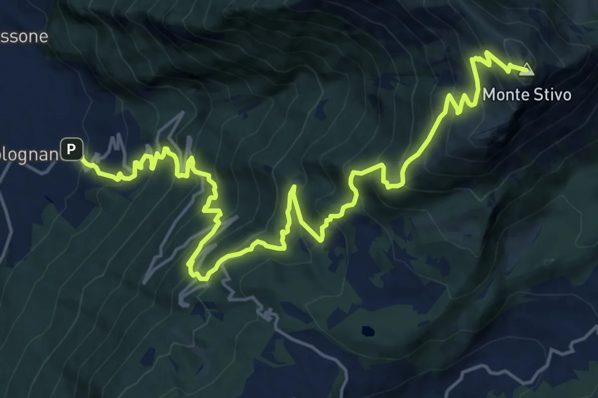
Demanding · Summit
Bolognano D'Arco - Istituto Missionario – Rifugio Stivo "Prospero Marchetti" (bivio 617 - 617B)
20.5 km · ↑ 1926 m · 9 h 1 min · 11 km away
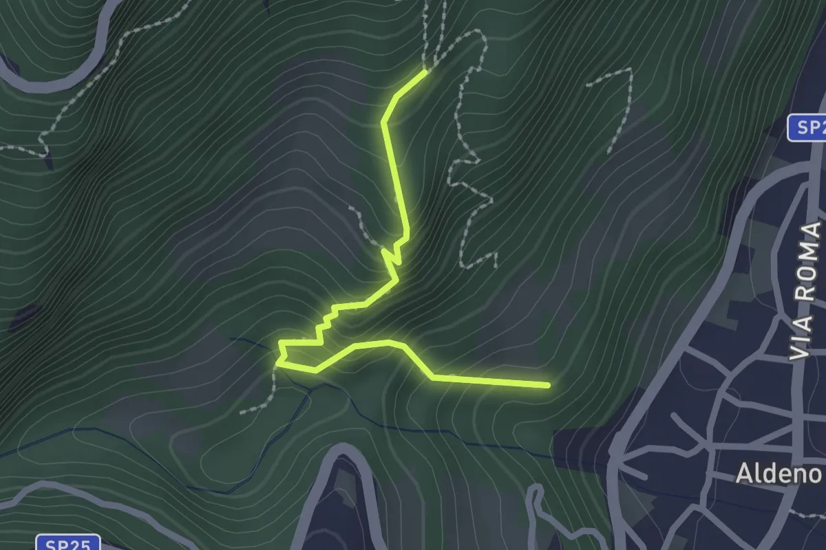
Medium · Trail
Sentiero Postal
2.1 km · ↑ 238 m · 1 h 1 min · 11 km away
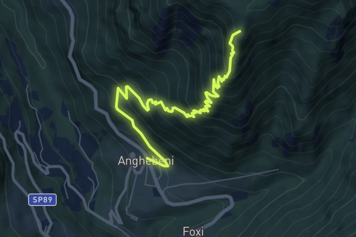
Medium · Summit
Sentiero Ezio Campagna
7.4 km · ↑ 731 m · 3 h 20 min · 11 km away
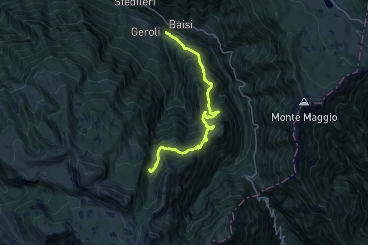
Demanding · Trail
Sega di Terragnolo – Val Zuccaria (bivio 133)
13.9 km · ↑ 1293 m · 6 h 6 min · 11 km away
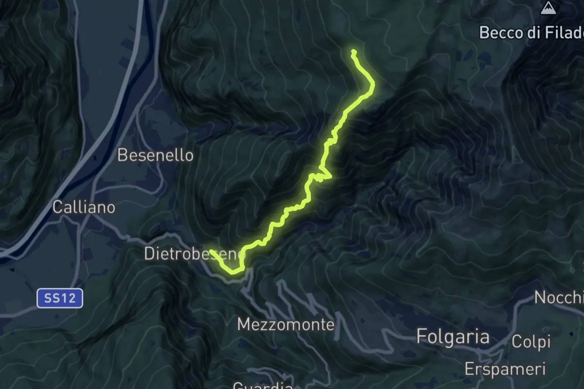
Demanding · Trail
Val di Gola
12.8 km · ↑ 1337 m · 5 h 55 min · 11 km away
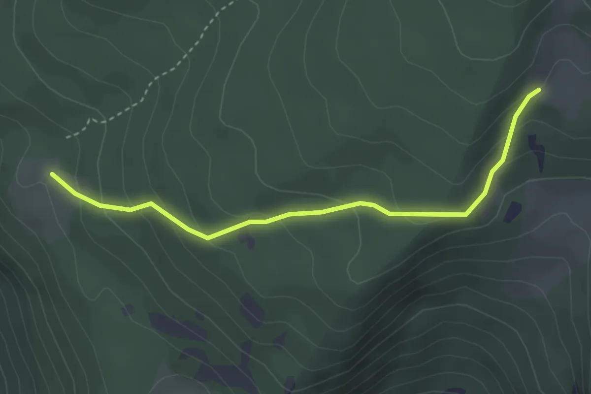
Easy · Trail
Malga Palazzo (bivio 431 - 446 - 448) – Pozza Arionda (bivio 453)
3.3 km · ↑ 213 m · 1 h 15 min · 11 km away
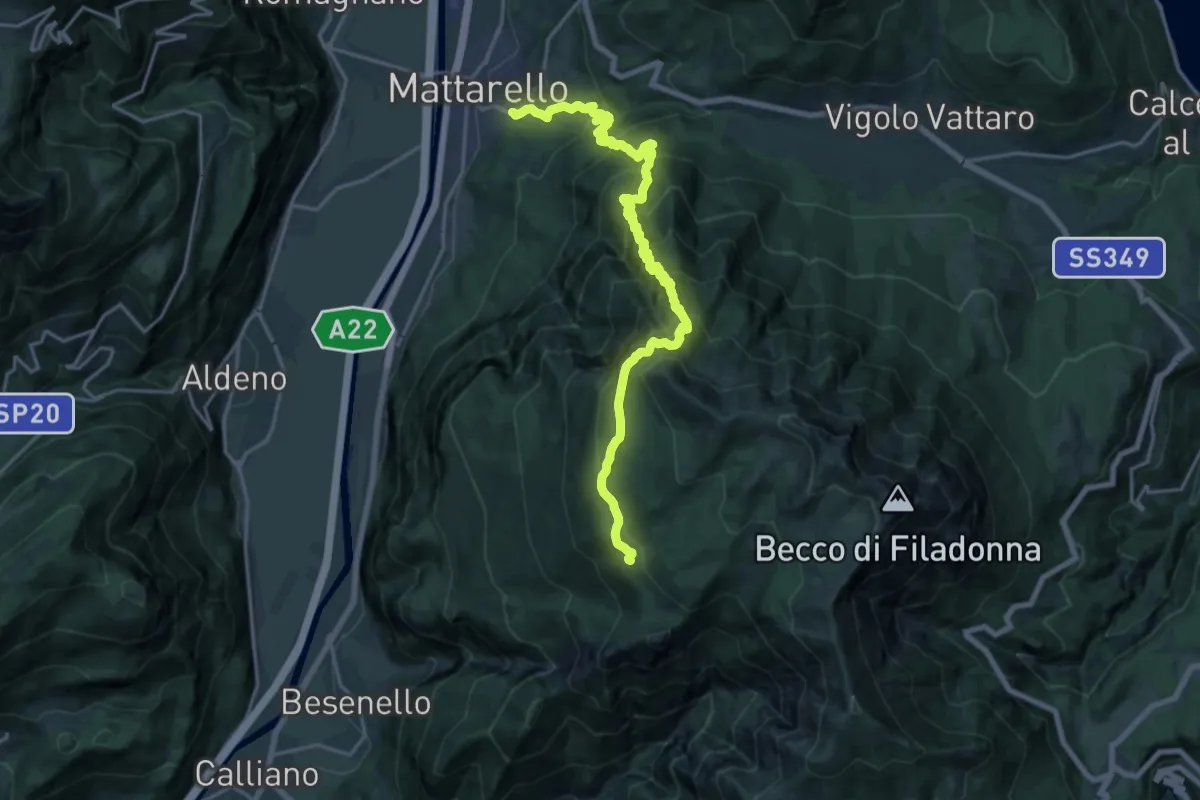
Medium · Trail
Pont dei Micoti - Mattarello – Malga Palazzo (bivio 431 - 448 - 452)
10.7 km · ↑ 247 m · 3 h 53 min · 11 km away
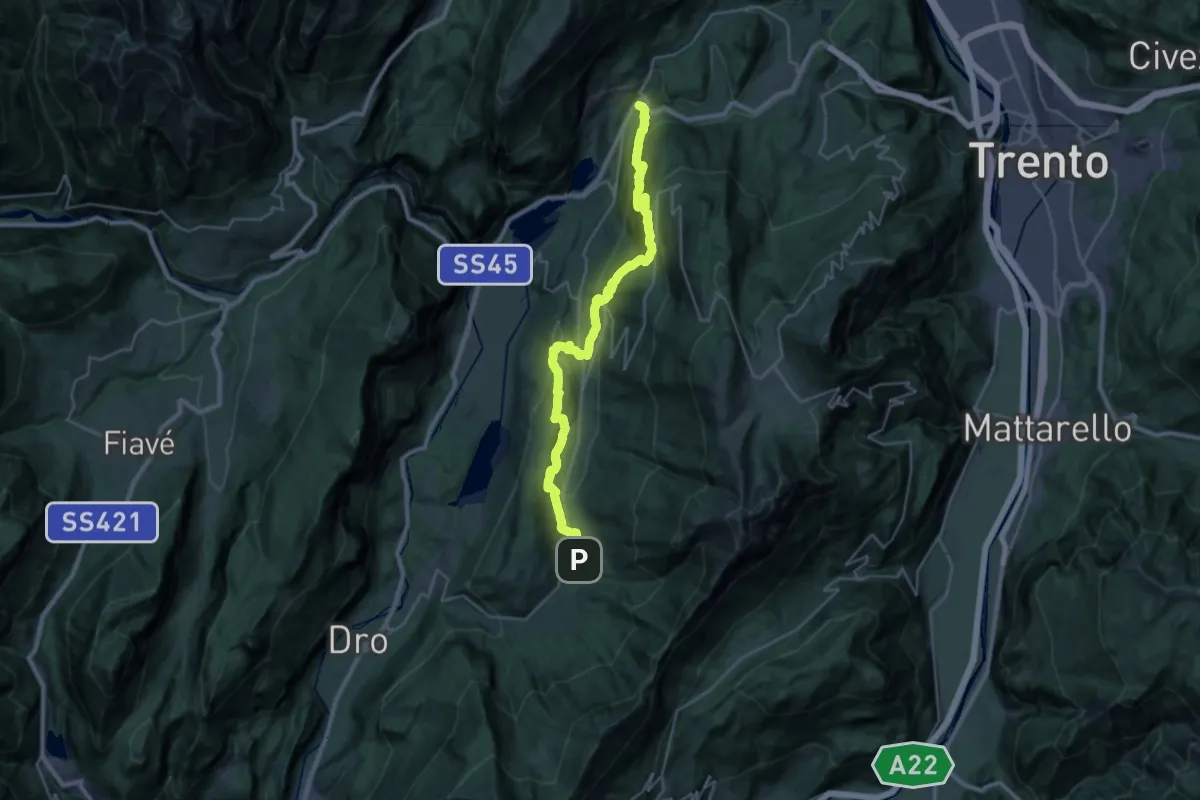
Medium · Trail
Cammino dei Sette Laghi - tappa 3
15.8 km · ↑ 711 m · 5 h 36 min · 11 km away
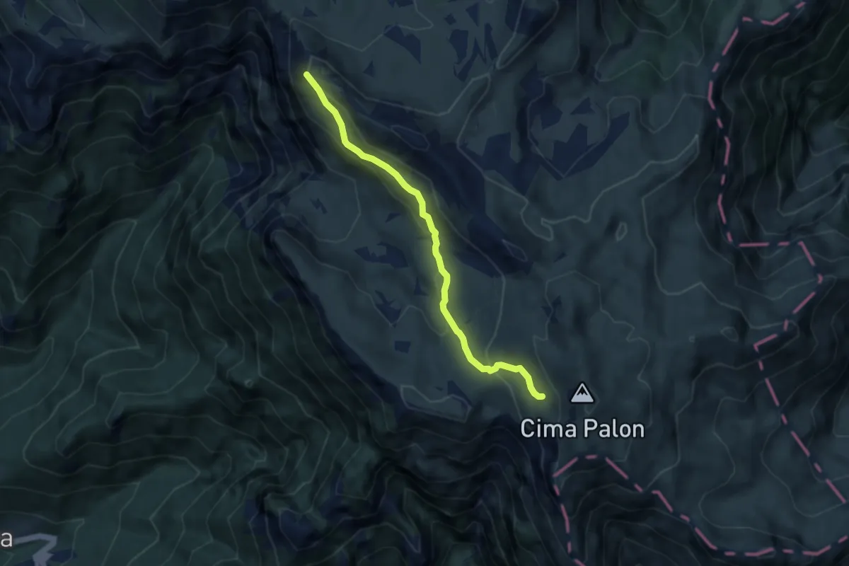
Medium · Trail
Cresta nord-ovest del Monte Roite (bivio 105) – Versante ovest di Cima Palon (bivio 135)
6.6 km · ↑ 381 m · 2 h 24 min · 11 km away
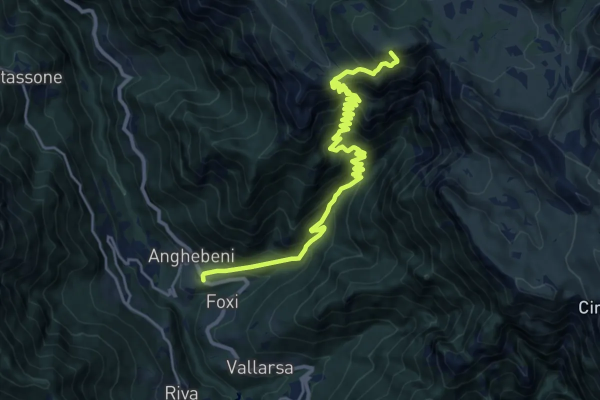
Demanding · Summit
Anghebeni (bivio 143) – Rifugio "Vincenzo Lancia" (bivio 101 - 105 - 120 - 132)
17.3 km · ↑ 1776 m · 7 h 55 min · 12 km away
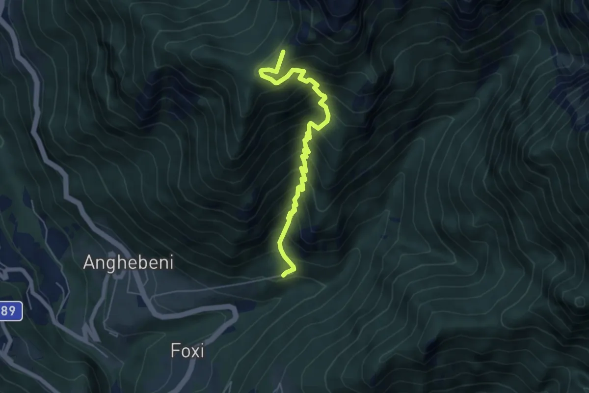
Medium · Trail
Cà d'Austria – Sella della Trappola (bivio 122A - 122C)
5.4 km · ↑ 677 m · 2 h 44 min · 12 km away
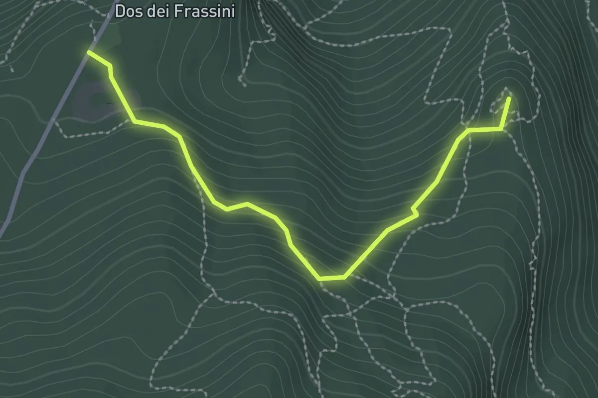
Medium · Summit
Giro del Doss alto di Nago
2.7 km · ↑ 193 m · 1 h 4 min · 12 km away
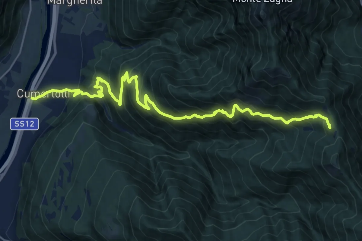
Demanding · Trail
Cumerlotti - Strada Statale 12 al km 340,5 – Passo Buole - presso Baitella (bivio 115)
18.7 km · ↑ 1651 m · 8 h · 12 km away
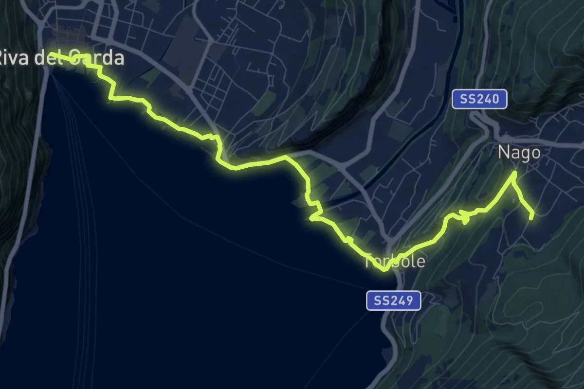
Medium · Trail
Sentiero della Pace - Tappa 7
12.8 km · ↑ 319 m · 3 h 43 min · 12 km away
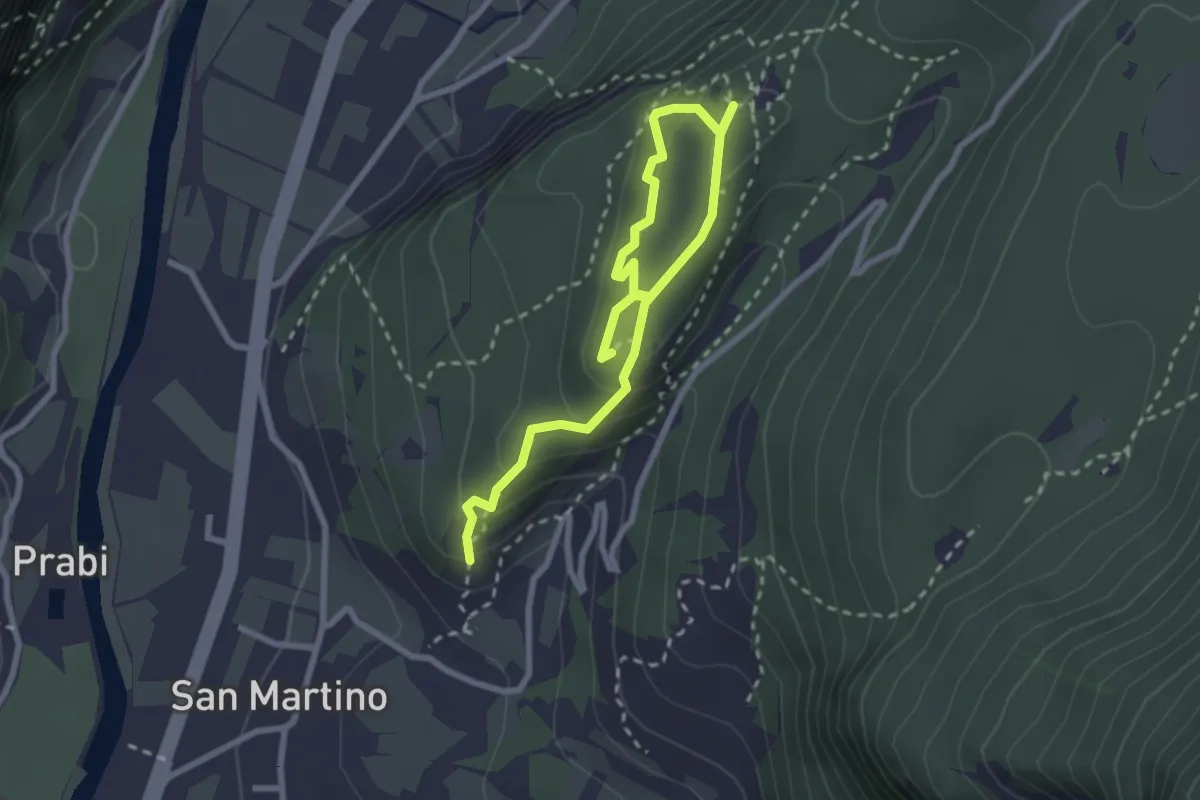
Easy · Trail
Anello delle Trincee
3.4 km · ↑ 246 m · 1 h 21 min · 12 km away
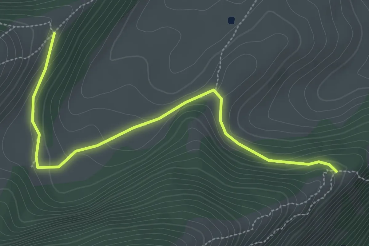
Medium · Trail
Cresta nord-est del Monticello (bivio 650) – Crinale nord del Parol
3.5 km · ↑ 93 m · 1 h 2 min · 12 km away
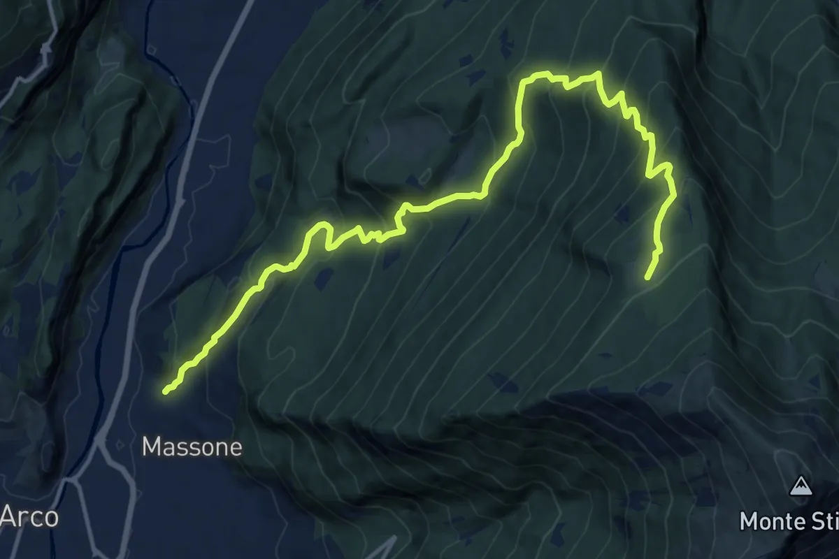
Demanding · Trail
Sentiero di Vallestrè
15.9 km · ↑ 1358 m · 6 h 41 min · 12 km away
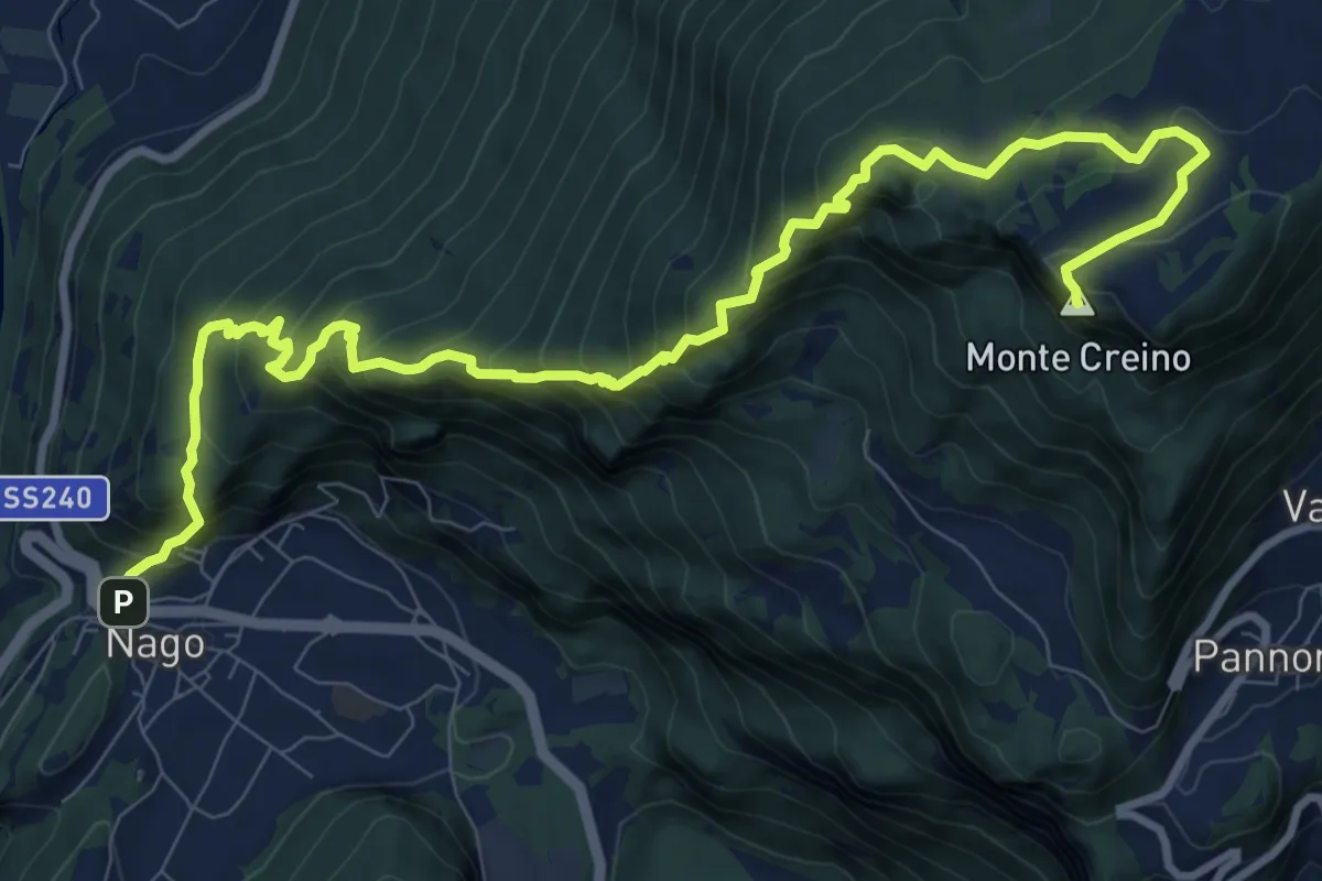
Demanding · Summit
Nago – Passo di Santa Barbara
12.5 km · ↑ 1115 m · 5 h 22 min · 12 km away
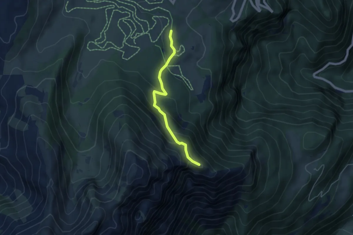
Medium · Trail
Sentiero delle Pozze
4.1 km · ↑ 256 m · 1 h 32 min · 12 km away
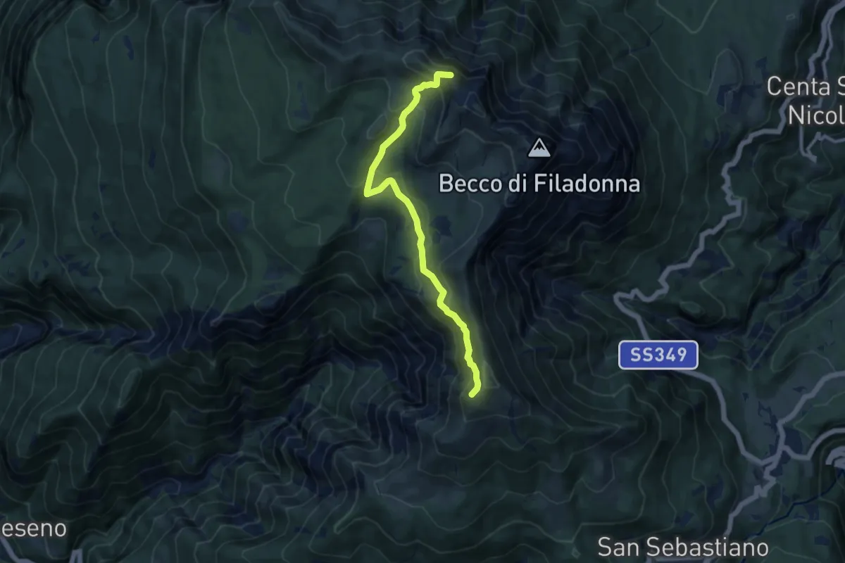
Medium · Summit
Senter del Bus del Giaz
9.5 km · ↑ 600 m · 3 h 33 min · 12 km away
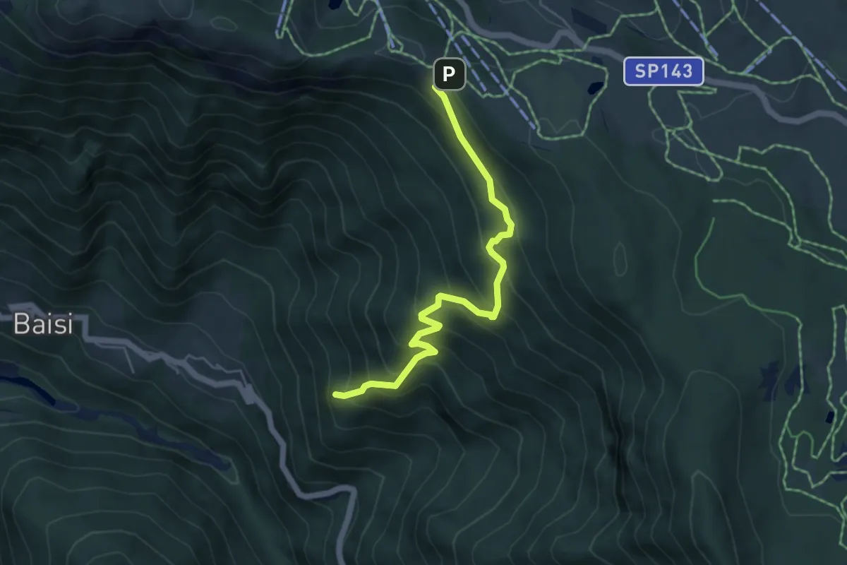
Medium · Summit
Senter della Val delle Calchere
5.0 km · ↑ 475 m · 2 h 12 min · 12 km away
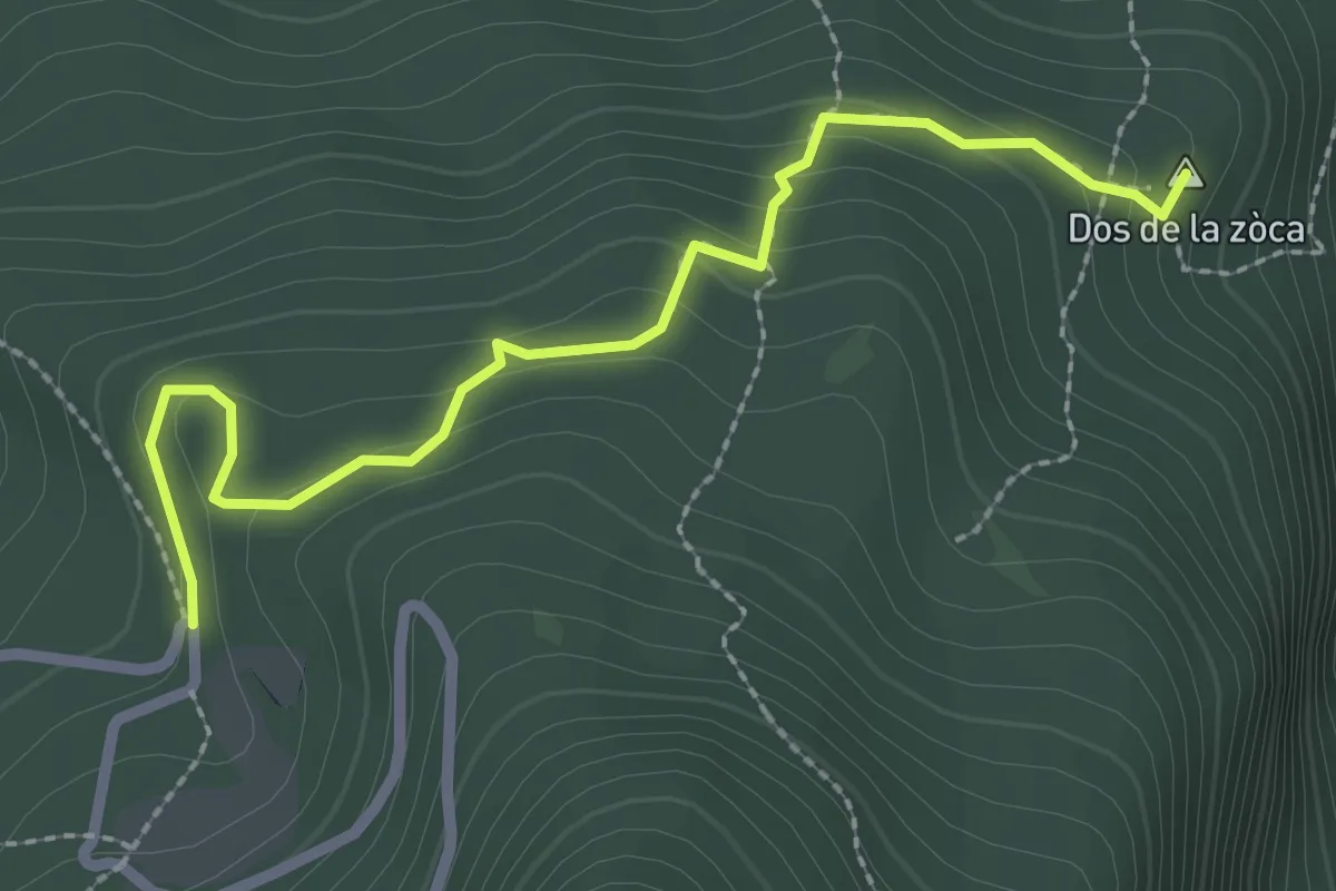
Medium · Summit
Sasso Sega (bivio 601B) – Tornante presso Malga Casina (bivio 601)
2.7 km · ↑ 156 m · 58 min · 12 km away
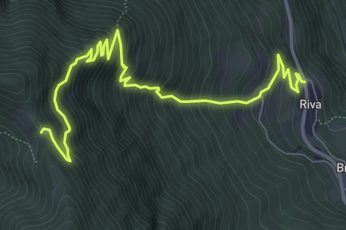
Medium · Trail
Riva di Vallarsa – Passo Buole - presso Cappella (bivio 115)
7.8 km · ↑ 780 m · 3 h 32 min · 12 km away
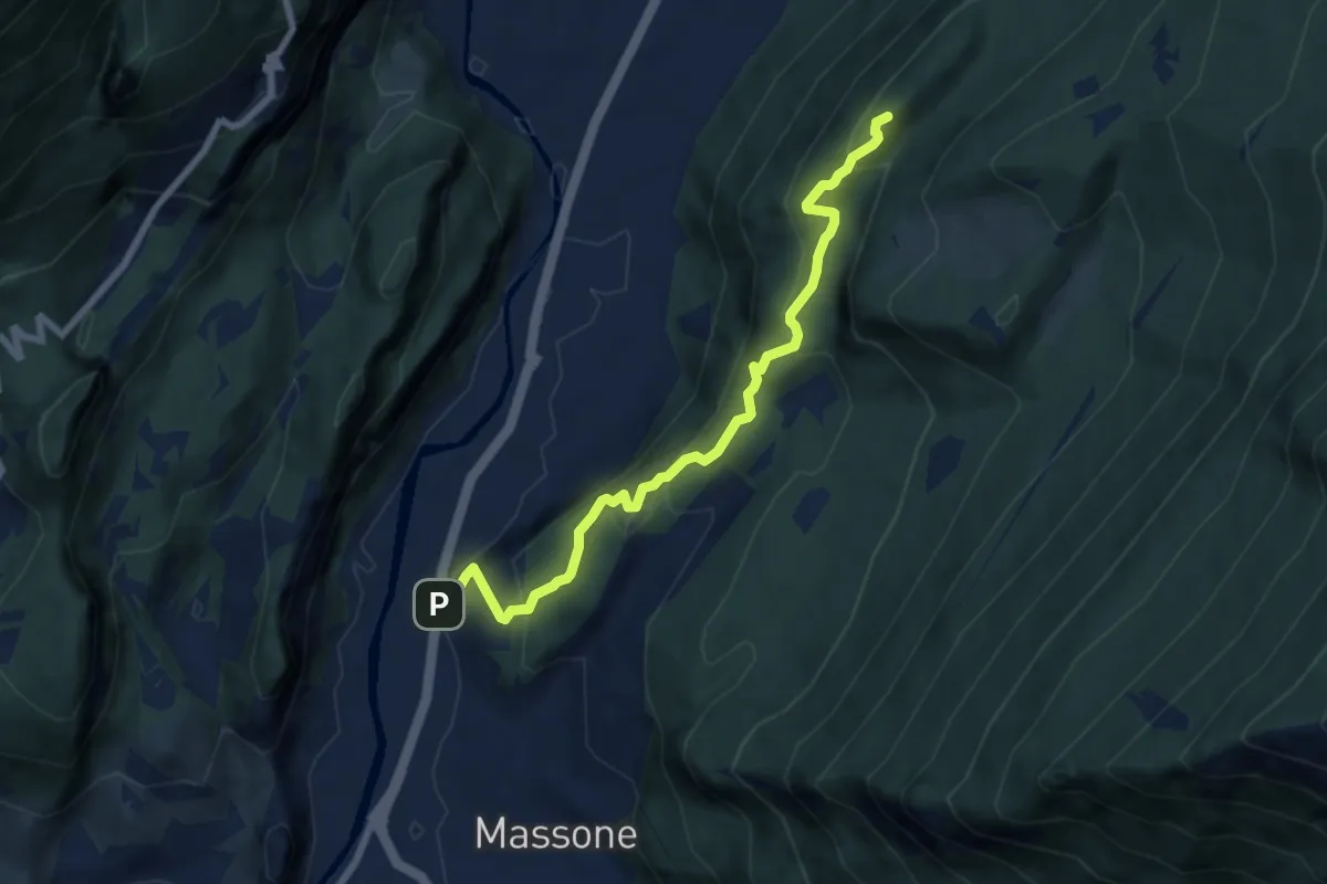
Medium · Summit
Sentiero attrezzato della Maestra "Caterina Tantardini Bombardelli"
7.4 km · ↑ 530 m · 2 h 54 min · 13 km away
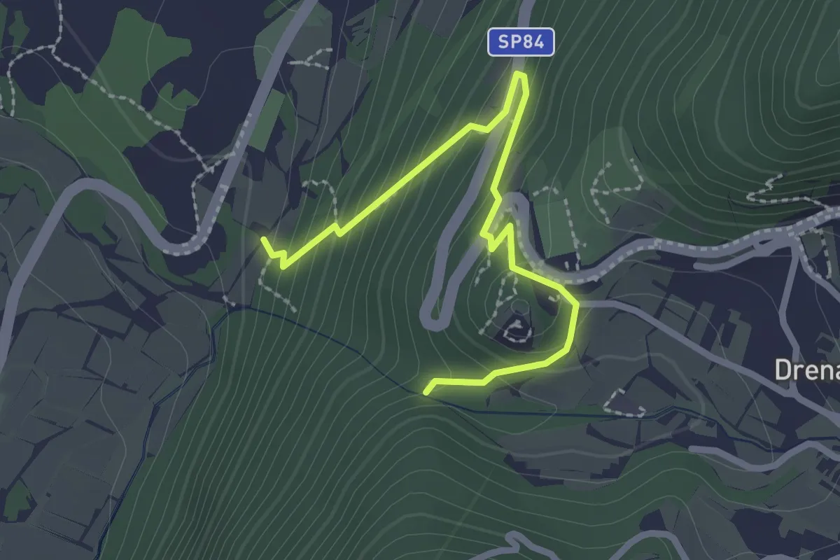
Medium · Trail
Via ferrata return
2.5 km · ↑ 207 m · 1 h 3 min · 13 km away
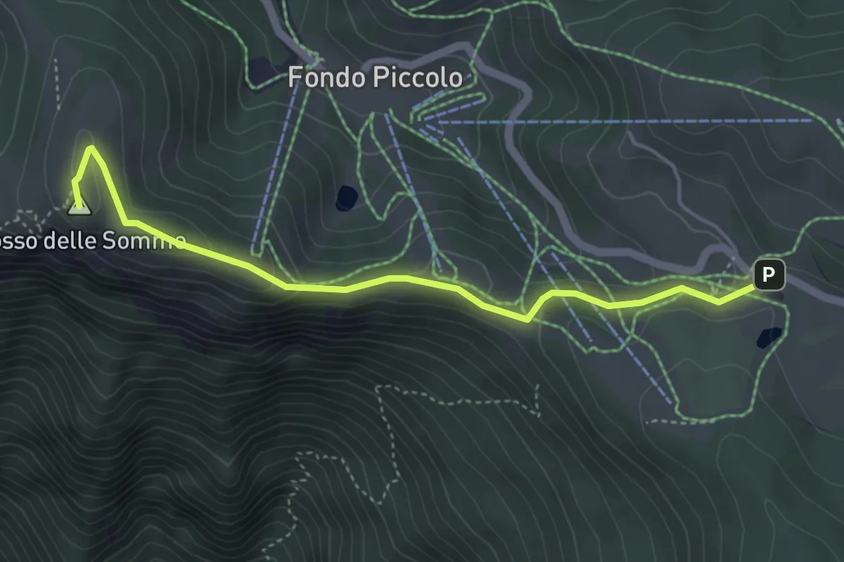
Medium · Summit
Serrada (bivio 104) – Bus de la Nef de la Coe
4.4 km · ↑ 152 m · 1 h 22 min · 13 km away
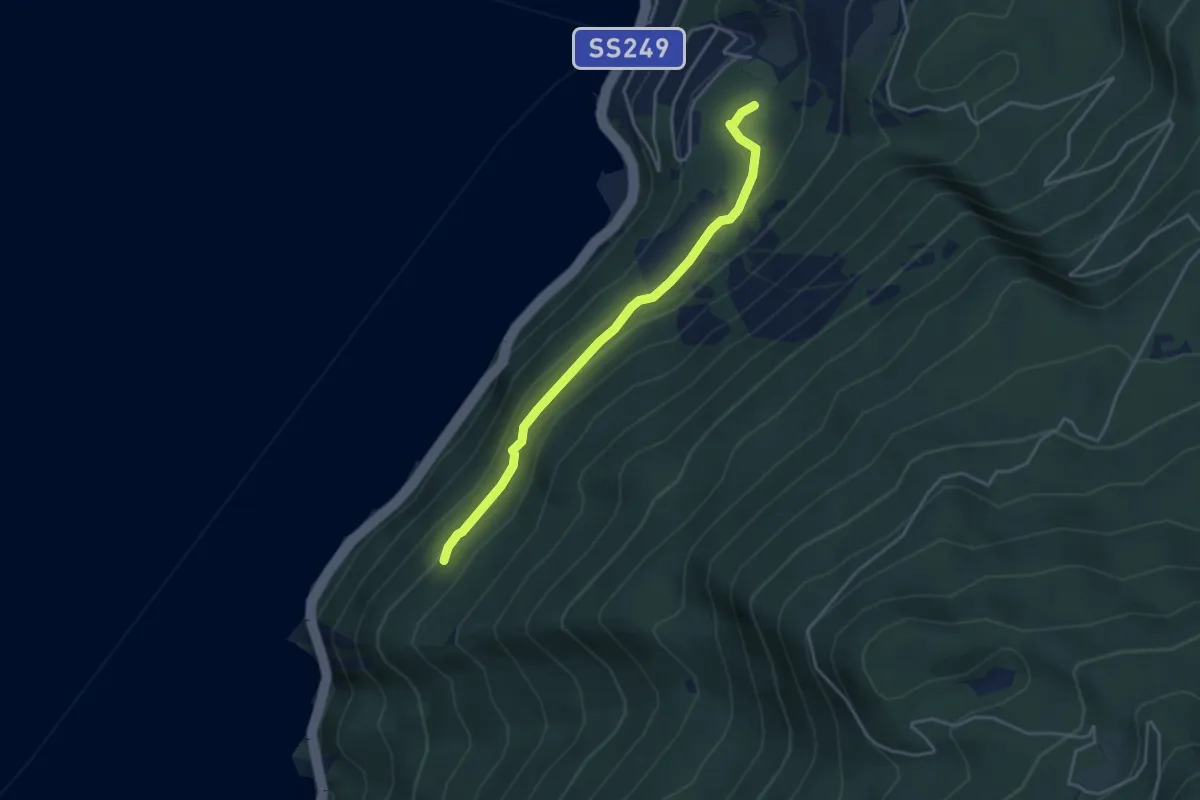
Easy · Trail
Busatte - Tempesta
3.9 km · ↑ 179 m · 1 h 19 min · 13 km away
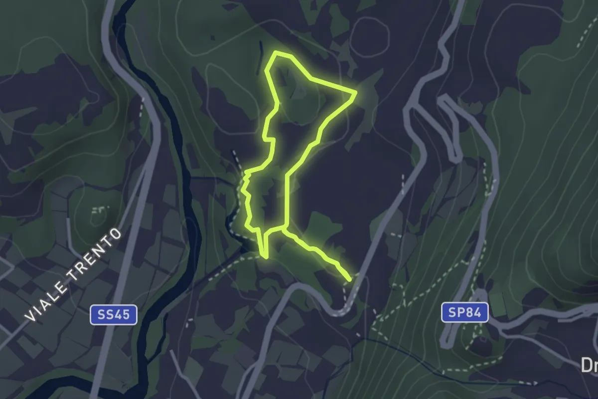
Easy · Trail
Sentiere delle Marocche corto
2.4 km · ↑ 60 m · 44 min · 13 km away