Trails near Rovereto
137 hikes starting within 15 km, nearest first.
Nearest first, page 3 of 3
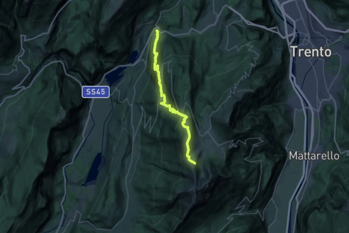
Medium · Trail
Vezzano – Costa dei Cavai (bivio 607)
12.1 km · ↑ 199 m · 4 h 10 min · 13 km away
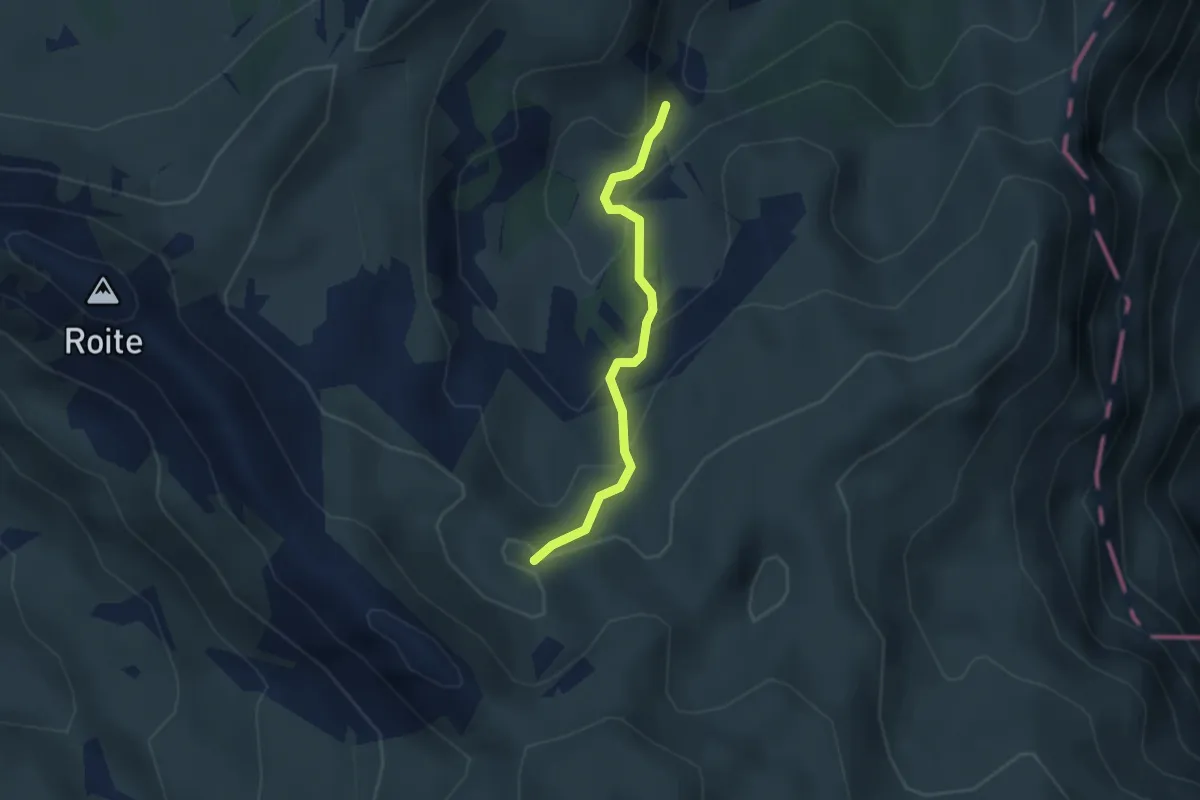
Medium · Trail
Sorgente (bivio 147) – Quota 2010 (bivio 120)
2.6 km · ↑ 172 m · 59 min · 13 km away
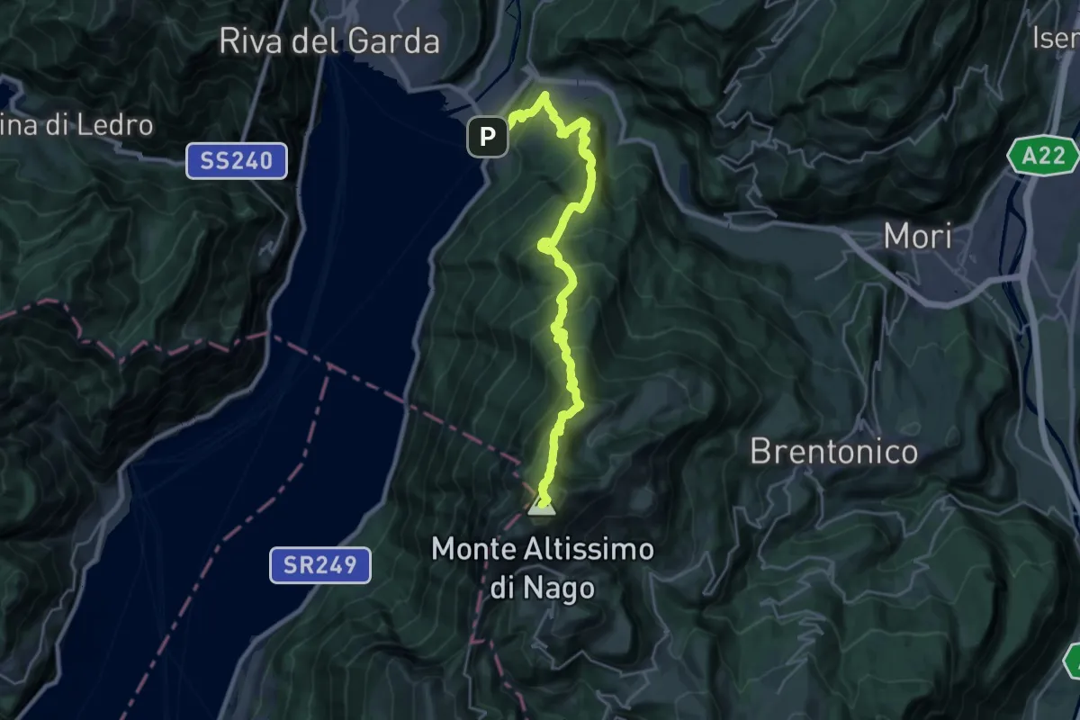
Demanding · Summit
Sentiero del "Segron"
24.8 km · ↑ 2136 m · 10 h 29 min · 13 km away
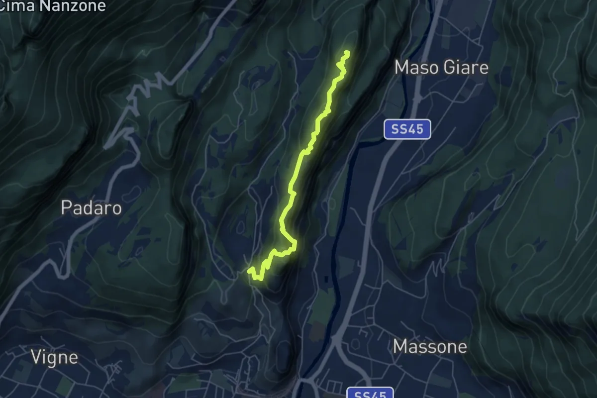
Medium · Summit
Sentiero attrezzato del Monte Colt
5.1 km · ↑ 376 m · 2 h 2 min · 13 km away
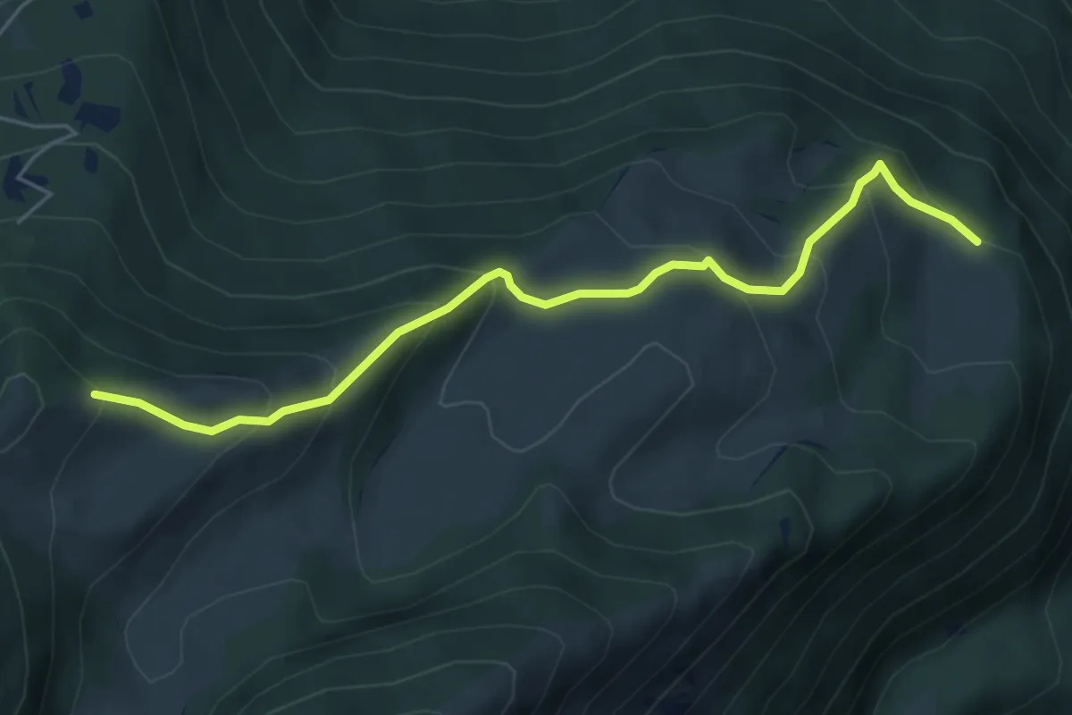
Medium · Trail
Presso Malga Campei di sotto (bivio 650) – Sella nord-est del Monte Varagna (bivio 601)
5.6 km · ↑ 413 m · 2 h 13 min · 13 km away
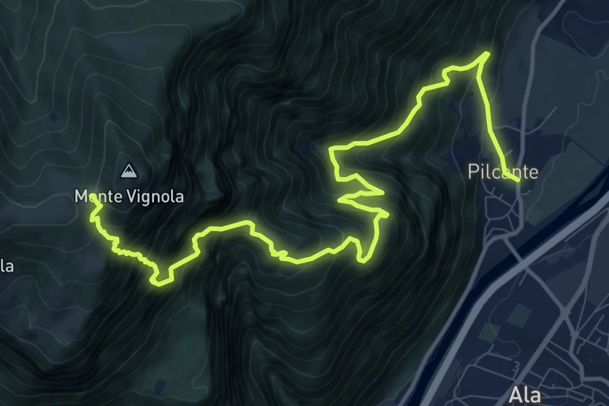
Demanding · Trail
Pilcante – Le caserme
13.6 km · ↑ 1732 m · 6 h 57 min · 13 km away
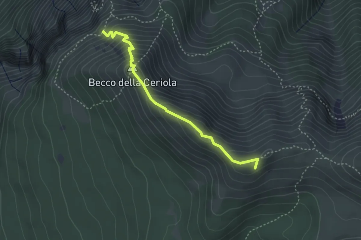
Expert · Summit
Sentiero attrezzato Caduti della Montagna
3.4 km · ↑ 363 m · 1 h 35 min · 13 km away
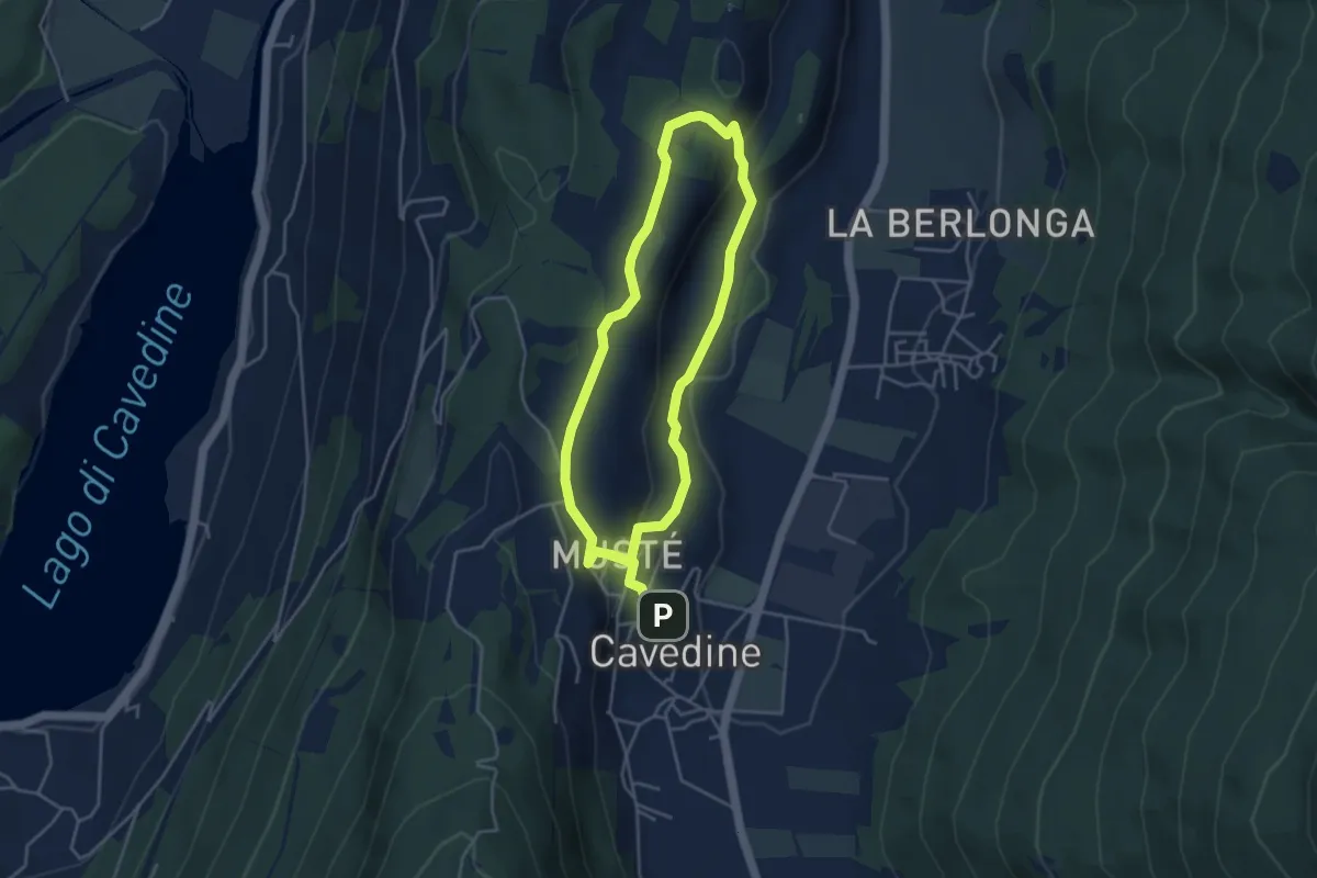
Easy · Trail
Passeggiata archeologica di Cavedine
3.8 km · ↑ 129 m · 1 h 12 min · 13 km away
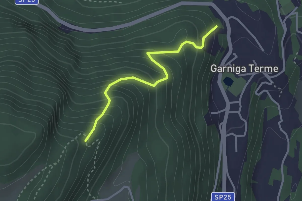
Medium · Trail
Sentiero Malga Albi
2.5 km · ↑ 338 m · 1 h 19 min · 13 km away
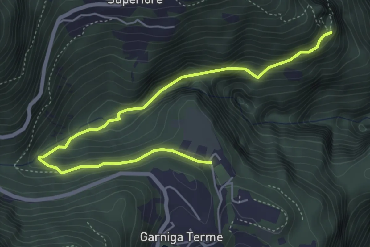
Medium · Trail
Sentiero dei Molini
5.4 km · ↑ 360 m · 2 h 3 min · 14 km away
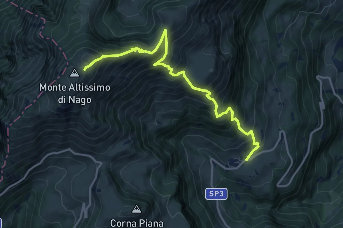
Demanding · Cabin
San Giacomo – Rifugio Altissimo "Damiano Chiesa" (bivio 601 - 633 - 651)
10.0 km · ↑ 854 m · 4 h 13 min · 14 km away
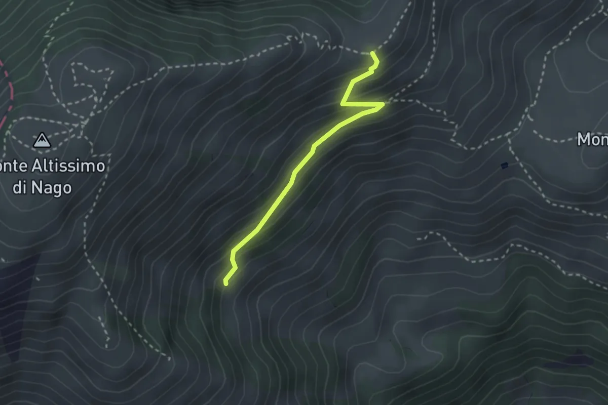
Medium · Trail
Sentiero dei Cirmoli Augusto Girardelli
2.4 km · ↑ 182 m · 57 min · 14 km away
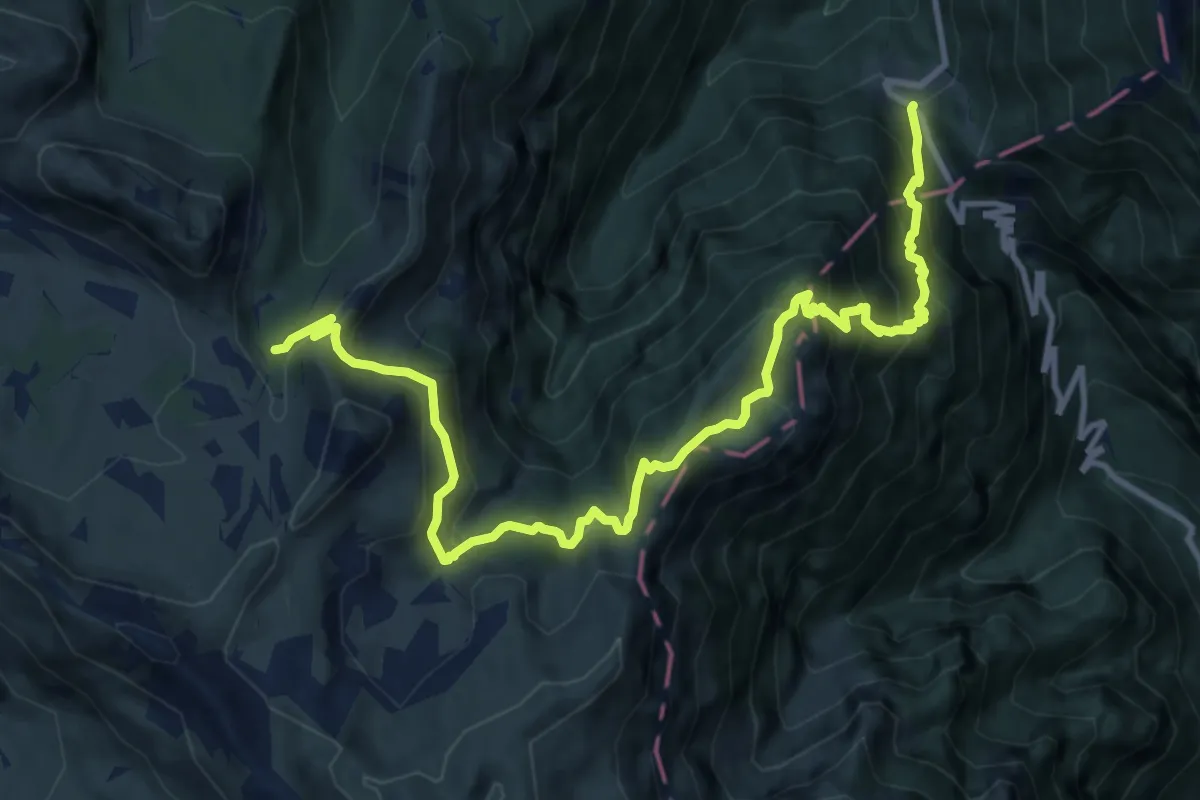
Demanding · Trail
Passo della Borcola (bivio 124) – Val Zuccaria (bivio 133)
13.5 km · ↑ 1339 m · 6 h 5 min · 14 km away
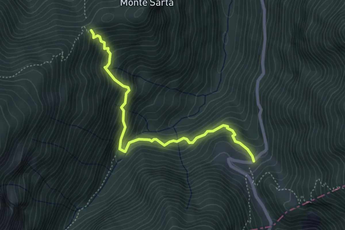
Medium · Trail
Malga Borcola – Passo Lucco (bivio E144)
4.8 km · ↑ 595 m · 2 h 25 min · 14 km away
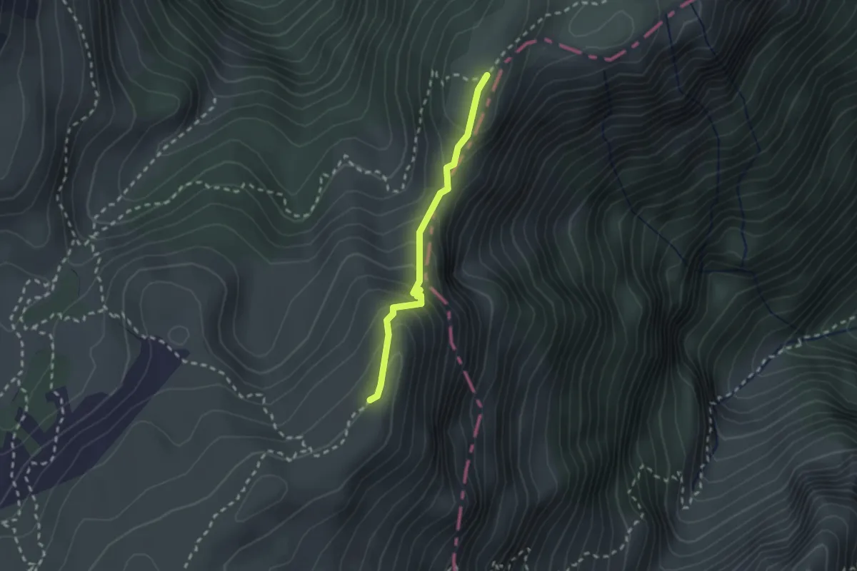
Medium · Trail
Variante 147 -E5
2.0 km · ↑ 206 m · 55 min · 14 km away
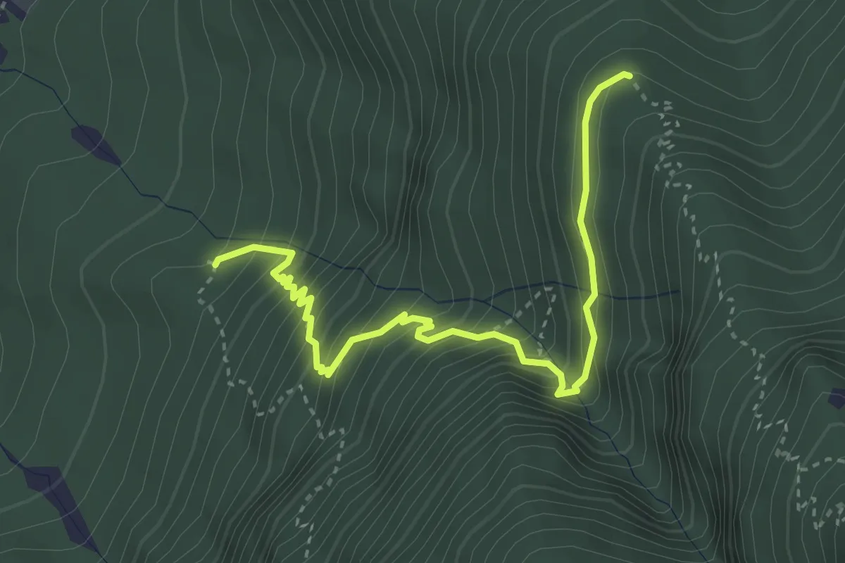
Medium · Trail
Quota 527 (bivio 447) – Malghetta (bivio 446)
3.9 km · ↑ 447 m · 1 h 53 min · 14 km away
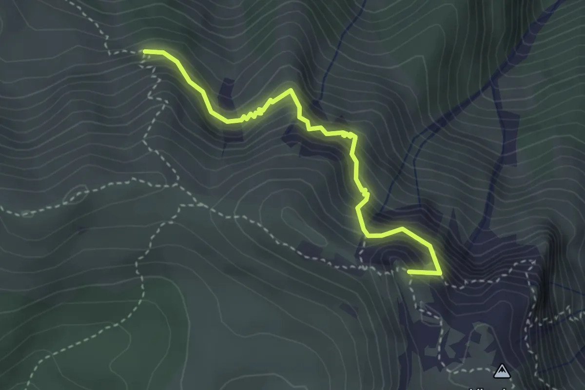
Demanding · Summit
Sentiero Attrezzato delle Grattarole
3.3 km · ↑ 500 m · 1 h 52 min · 14 km away
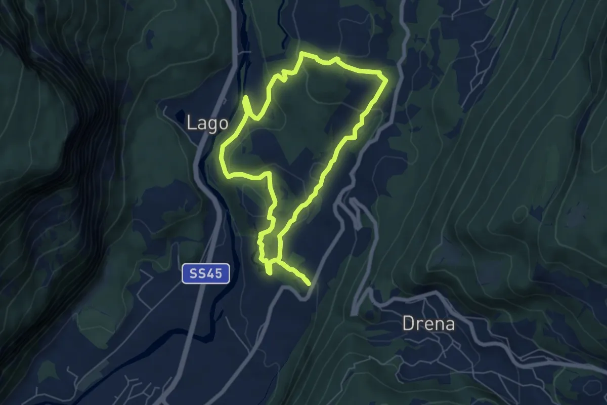
Medium · Trail
Sentiere delle Marocche
5.6 km · ↑ 188 m · 1 h 49 min · 14 km away
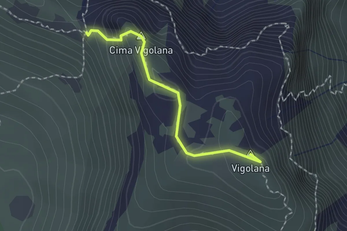
Demanding · Summit
Bocca Lavinella (bivio 450 453) – Bocca di Val Larga (bivio 425)
1.5 km · ↑ 91 m · 33 min · 14 km away
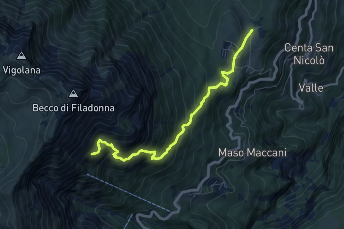
Demanding · Cabin
Sentiero attrezzato dei pastori
7.7 km · ↑ 716 m · 3 h 22 min · 14 km away
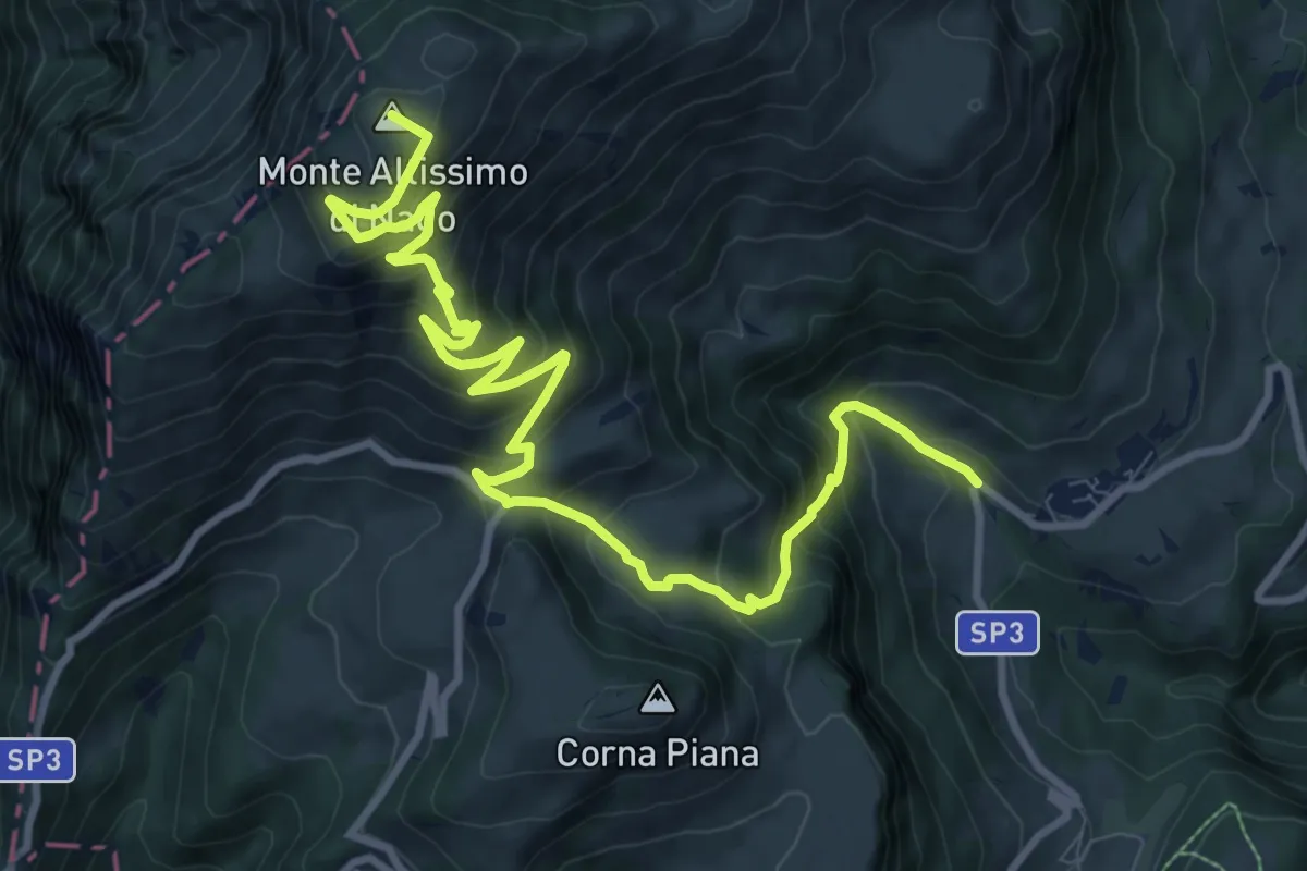
Demanding · Summit
Val de Vic - presso San Giacomo – Rifugio Altissimo "Damoano Chiesa" (bivio 601 - 622 - 651)
12.8 km · ↑ 924 m · 5 h 2 min · 14 km away
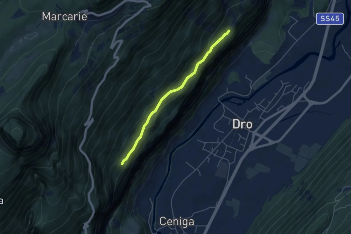
Medium · Trail
Sentiero alle Cavre
4.1 km · ↑ 172 m · 1 h 20 min · 14 km away
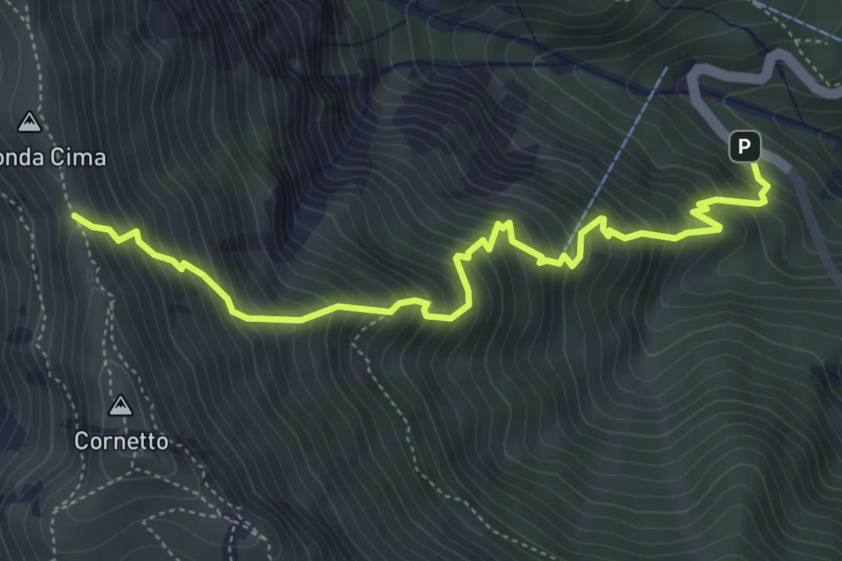
Demanding · Trail
Senter del Pralongo
5.3 km · ↑ 862 m · 3 h 8 min · 14 km away
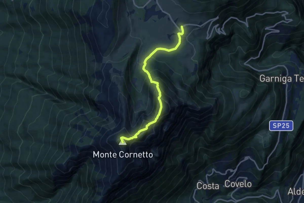
Demanding · Summit
Sentiero naturalistico delle Tre Cime
9.4 km · ↑ 794 m · 3 h 57 min · 14 km away
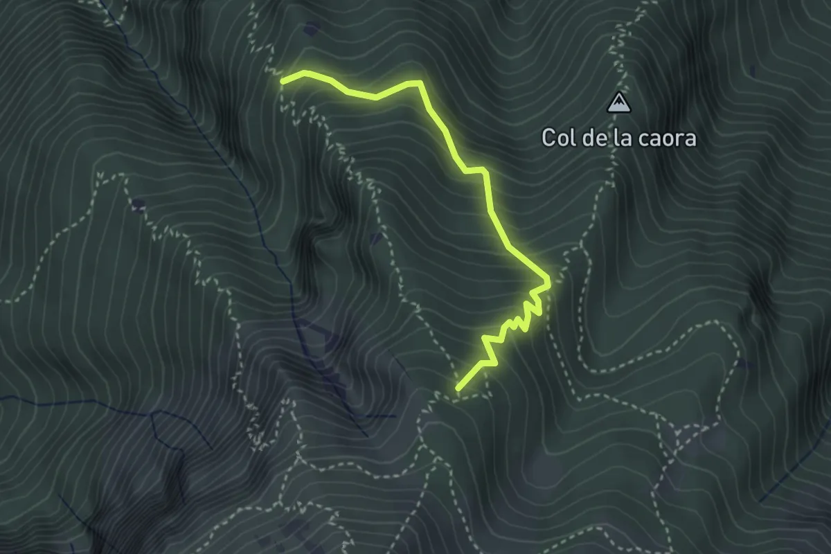
Medium · Trail
Presso Doredondo (bivio 446) – Nord-est Sass dell'Aquila (bivio 446)
3.2 km · ↑ 436 m · 1 h 42 min · 14 km away
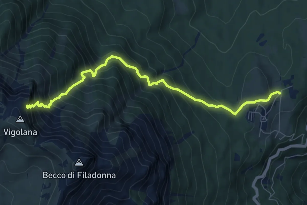
Demanding · Cabin
March (Rifugio Paludèi) – Percorso 425
7.8 km · ↑ 1112 m · 4 h 15 min · 14 km away
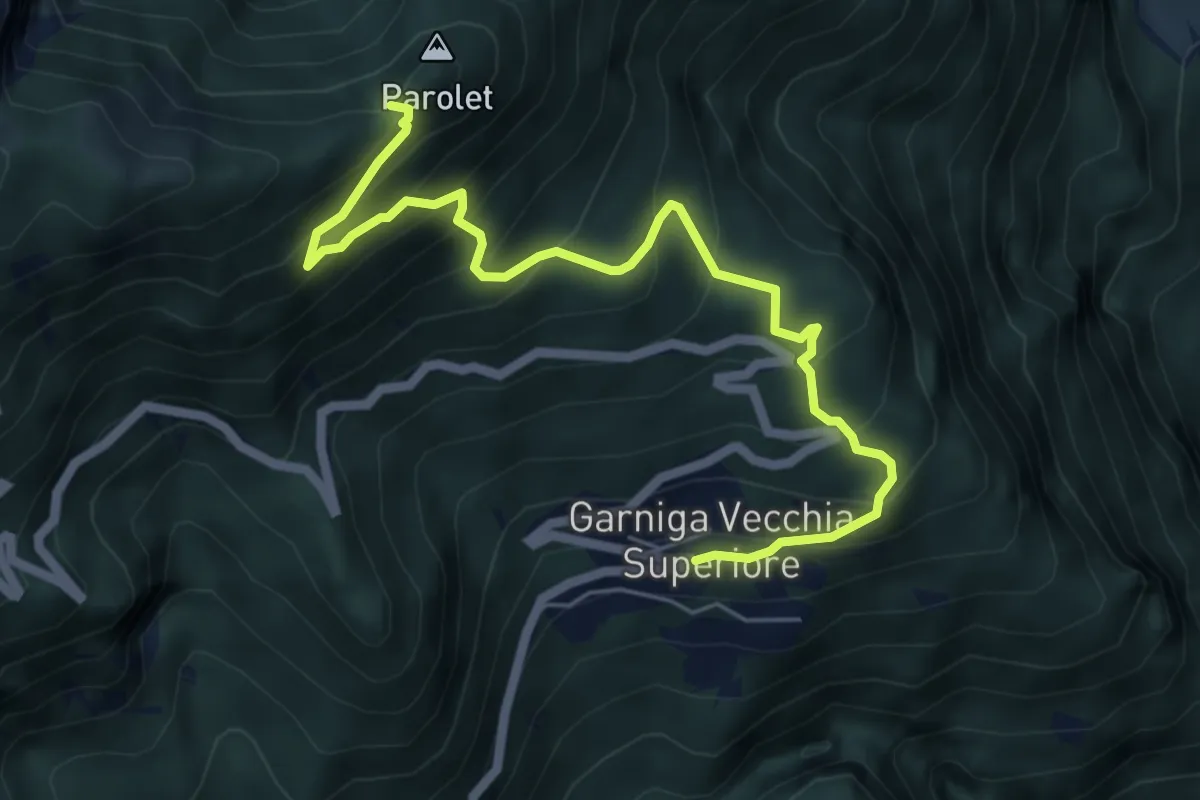
Medium · Trail
Garniga Vecchia – Sella del Monte Parolet (bivio 626 - 693)
6.3 km · ↑ 609 m · 2 h 49 min · 14 km away
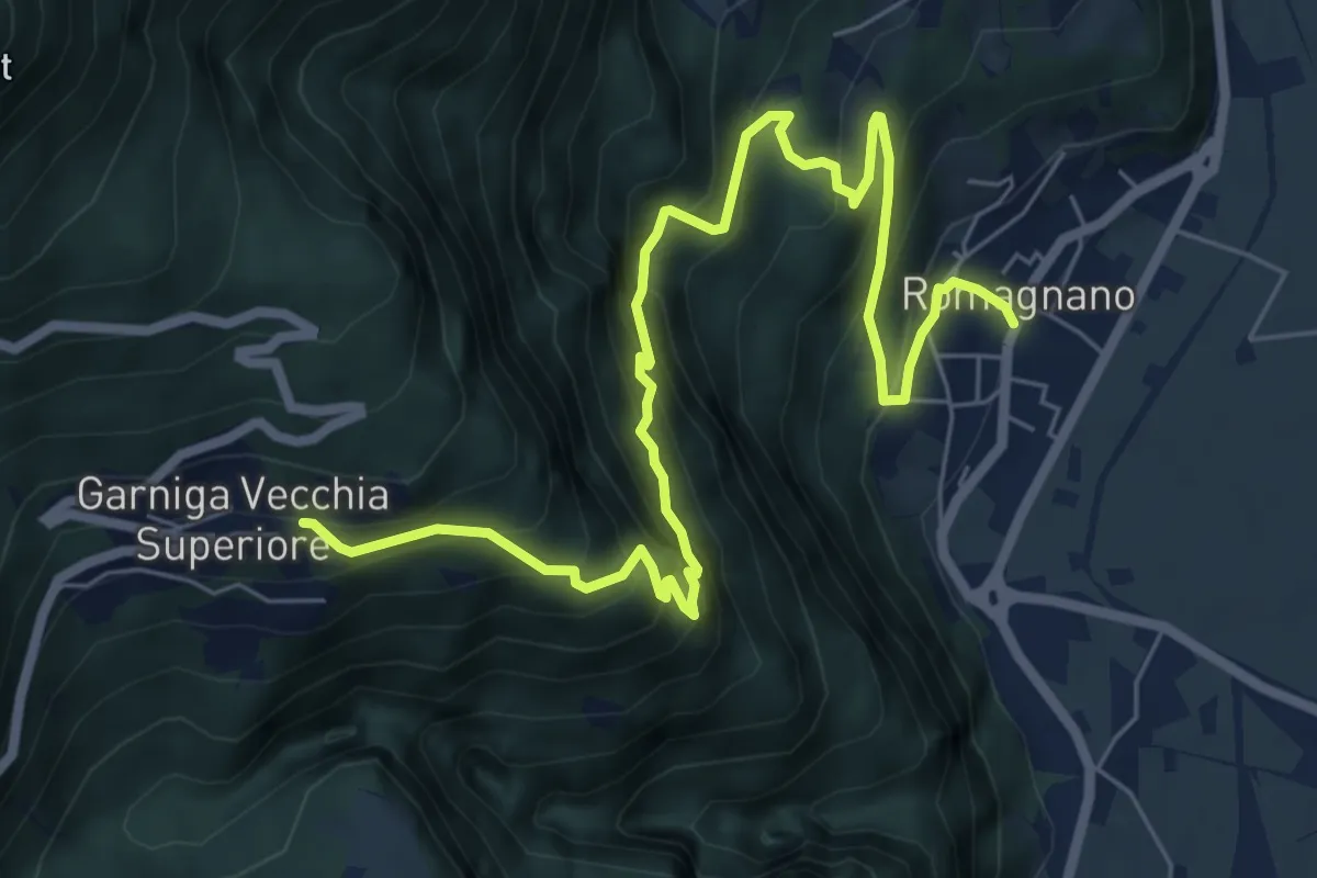
Demanding · Trail
Sentiero del Guardadocio
8.5 km · ↑ 844 m · 3 h 50 min · 15 km away
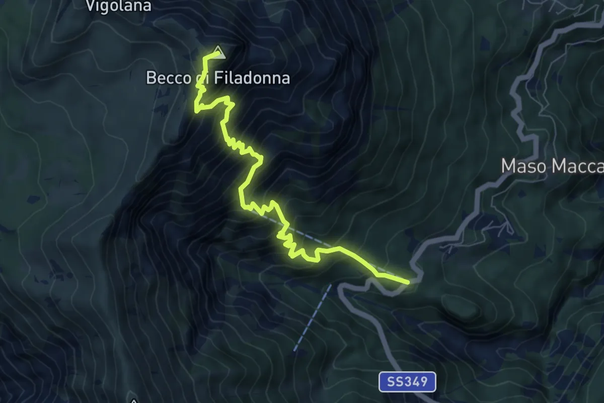
Demanding · Summit
Bar ristorante Al Sindech – Versante o Becco di Filadonna (bivio 425)
7.8 km · ↑ 1013 m · 4 h 2 min · 15 km away
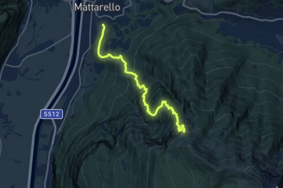
Demanding · Trail
Mattarello - Via Stolzano – Quota 1718 (bivio 446)
11.6 km · ↑ 1649 m · 6 h 19 min · 15 km away
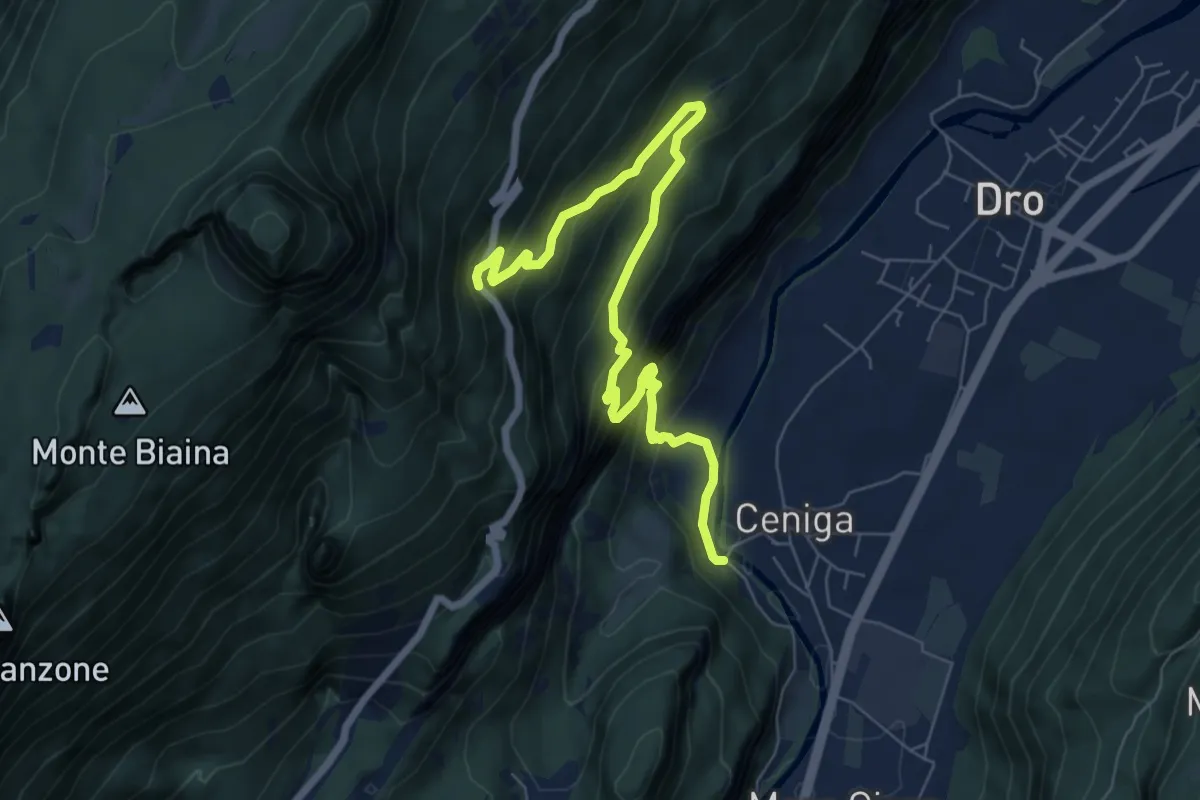
Expert · Trail
Via ferrata degli Scaloni
7.9 km · ↑ 805 m · 3 h 37 min · 15 km away
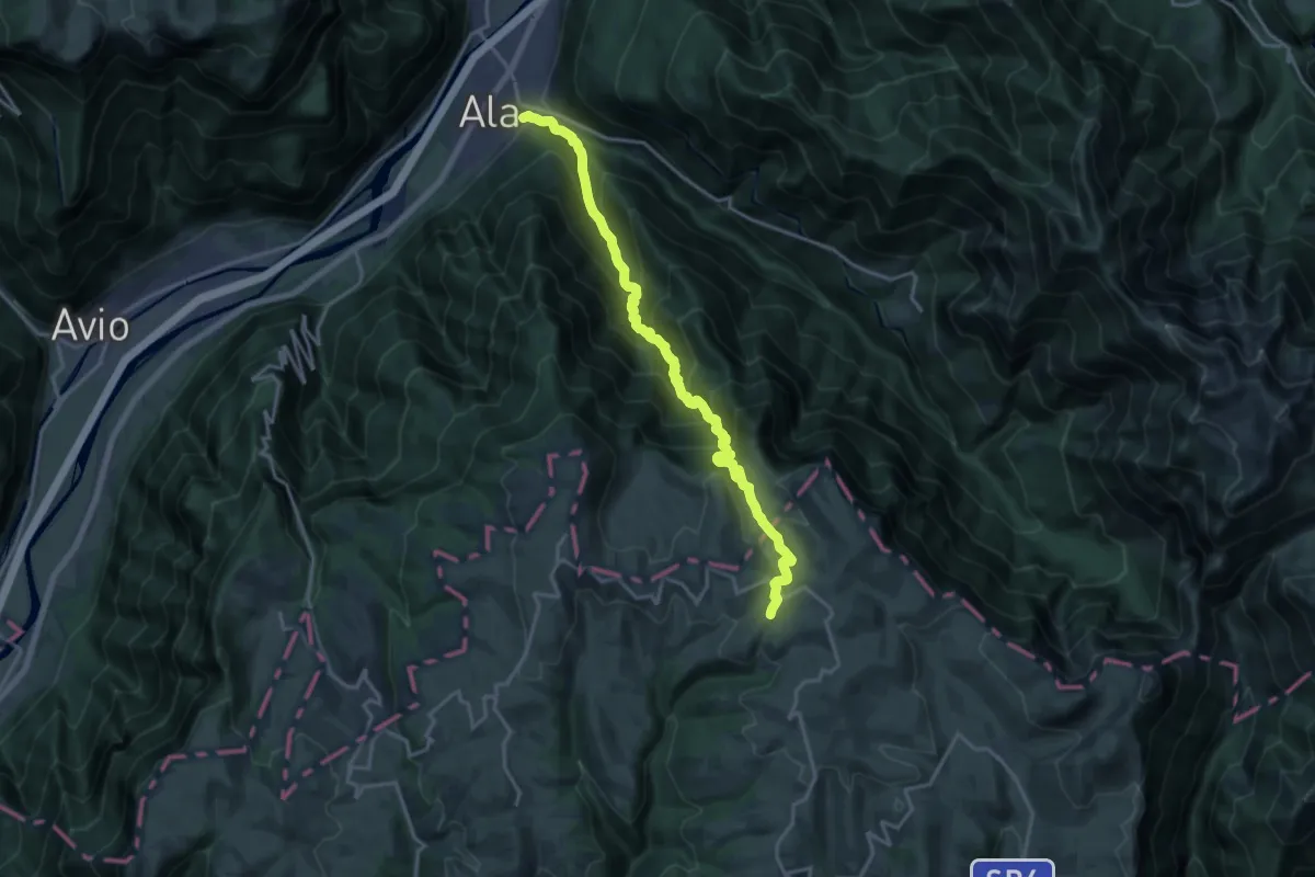
Expert · Cabin
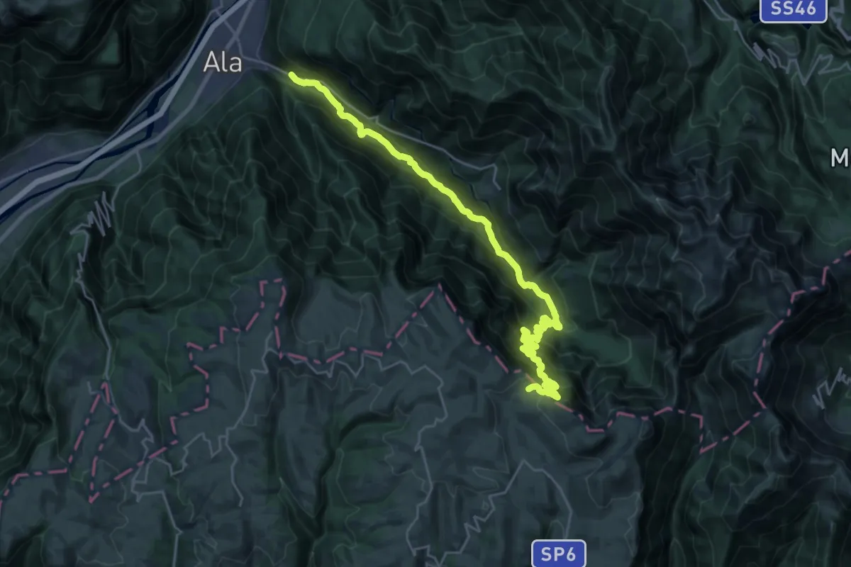
Ala – Rifugio Podesteria
18.2 km · ↑ 1636 m · 7 h 51 min · 15 km away
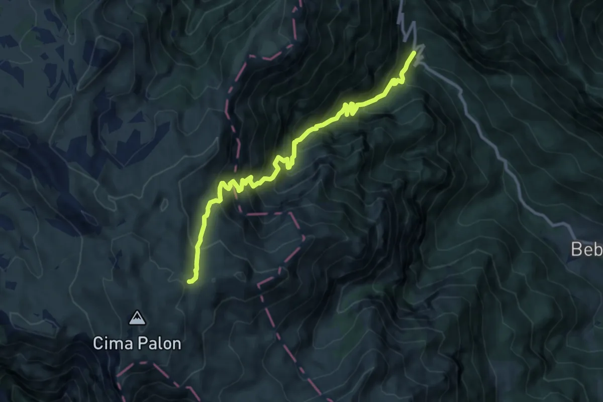
Demanding · Trail
Brustolotti di Ala – Bocca Gaibana
13.5 km · ↑ 1589 m · 6 h 10 min · 15 km away
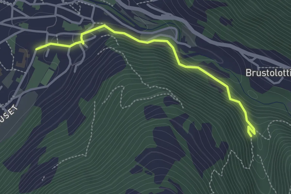
Demanding · Trail
Val Caprara
10.2 km · ↑ 1363 m · 5 h 22 min · 15 km away
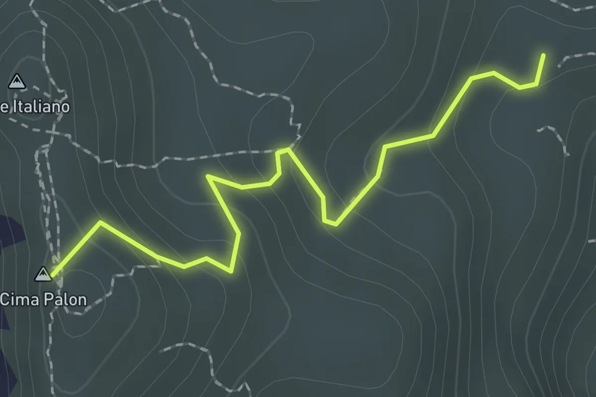
Easy · Trail
Percorso al Bersaglio
2.7 km · ↑ 141 m · 57 min · 15 km away
Easy · Summit
Selletta Comando (bivio 120) – Selletta "Tenente Salvatore Damaggio" (bivio 105)
2.0 km · ↑ 107 m · 42 min · 15 km away
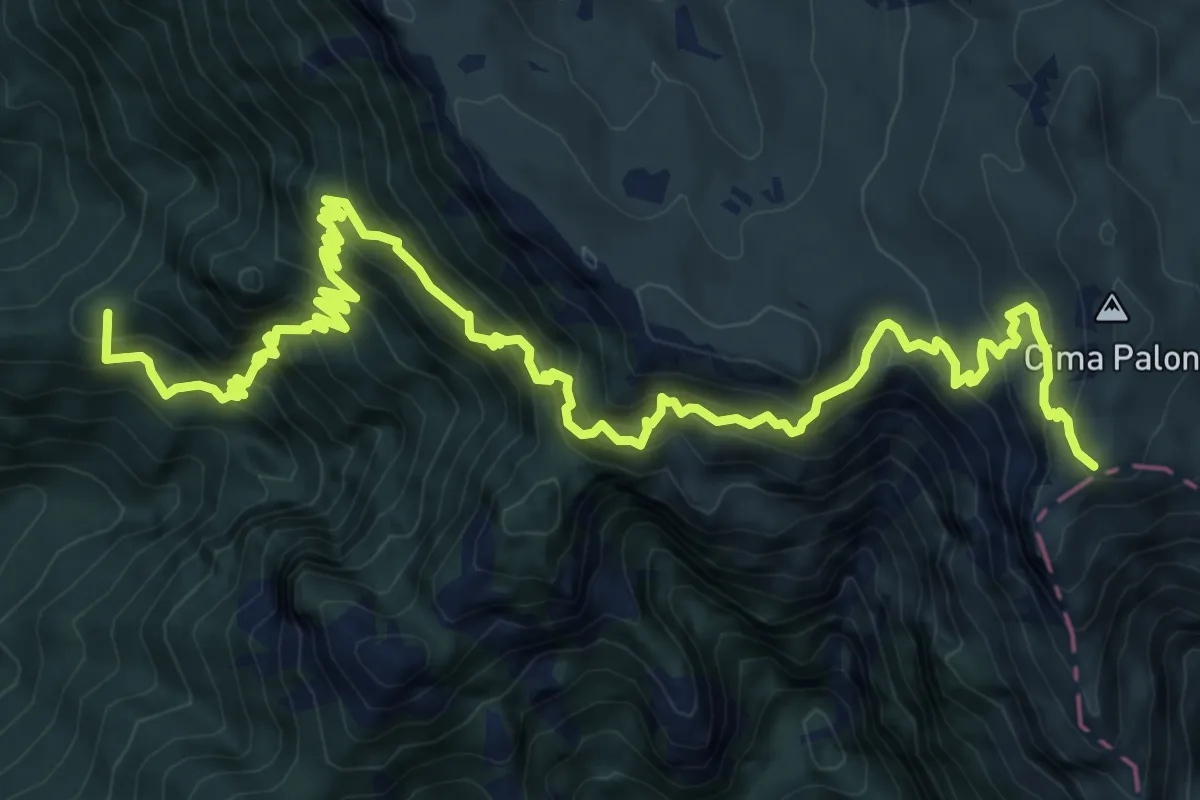
Demanding · Summit
Raossi di Vallarsa – Cogolo Alto (bivio 105)
13.1 km · ↑ 1690 m · 6 h 46 min · 15 km away
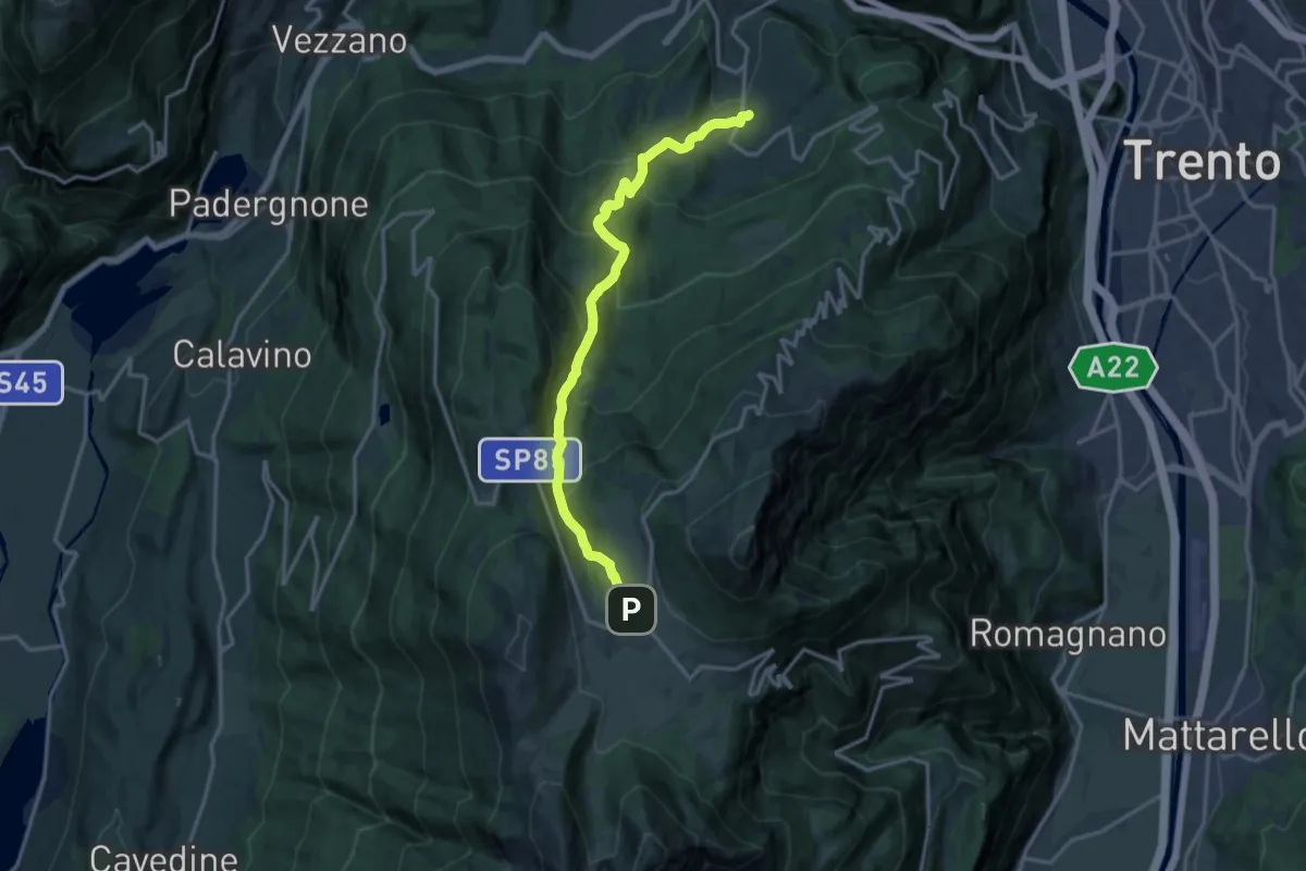
Demanding · Trail
Sopramonte - Piazza Oveno – Centro fondo Viote (bivio 607)
15.7 km · ↑ 996 m · 5 h 52 min · 15 km away
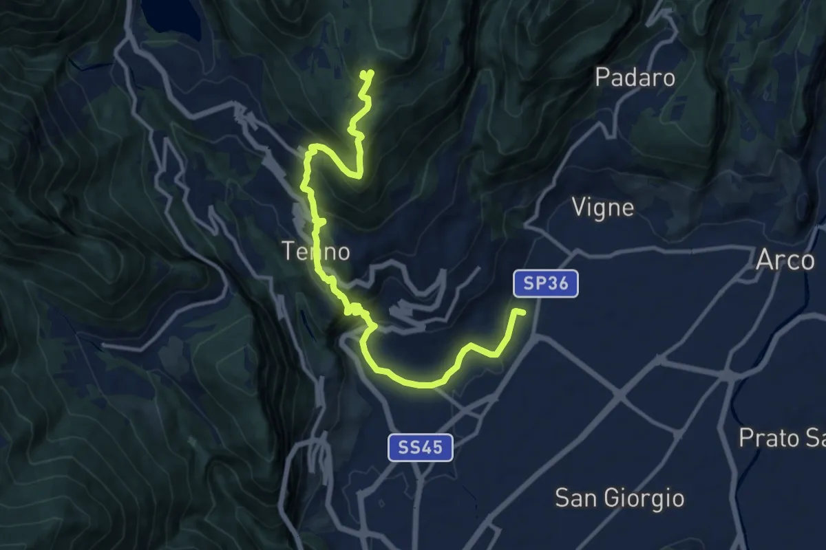
Demanding · Cabin
Sentiero Frassati - Tappa 1
12.7 km · ↑ 950 m · 5 h 4 min · 15 km away
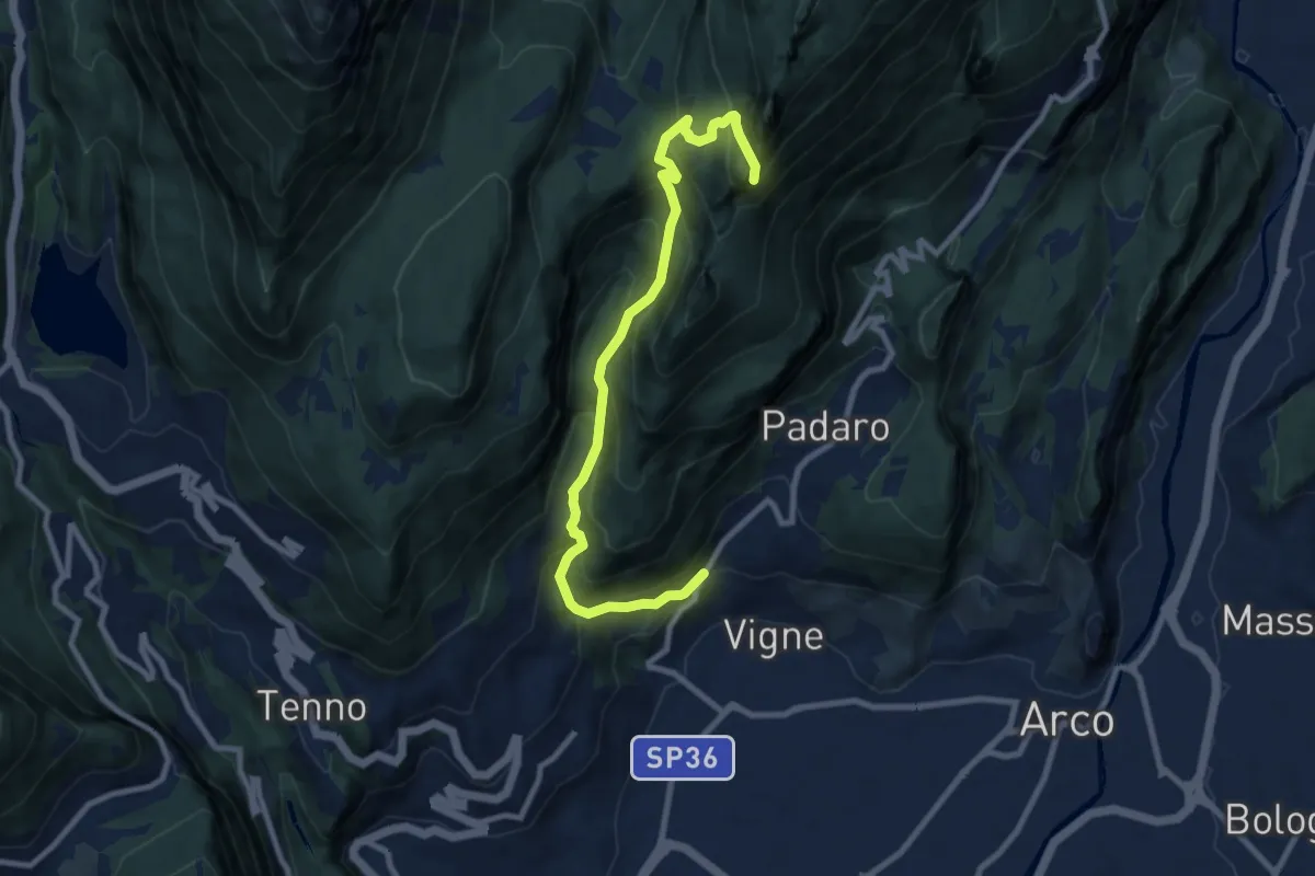
Demanding · Summit
Bivio strada Varignano - Padaro – Quota 1123
9.6 km · ↑ 895 m · 4 h 12 min · 15 km away
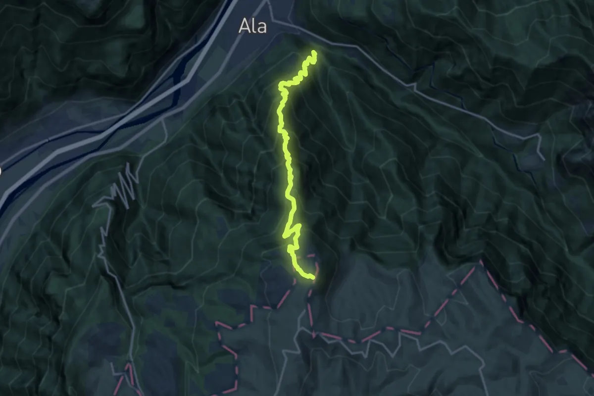
Demanding · Trail
Casino Bersaglio - ruderi – versante sud del Monte Castelberto
13.8 km · ↑ 1477 m · 6 h 28 min · 15 km away