Trails near Salerno
75 hikes starting within 15 km, nearest first.
Nearest first, page 1 of 2
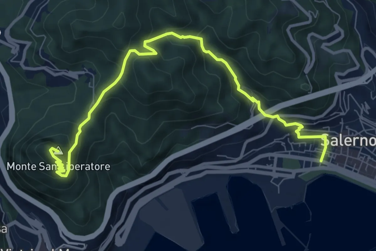
Medium · Summit
Salerno – Monte S. Liberatore
9.4 km · ↑ 658 m · 3 h 39 min · under 1 km away
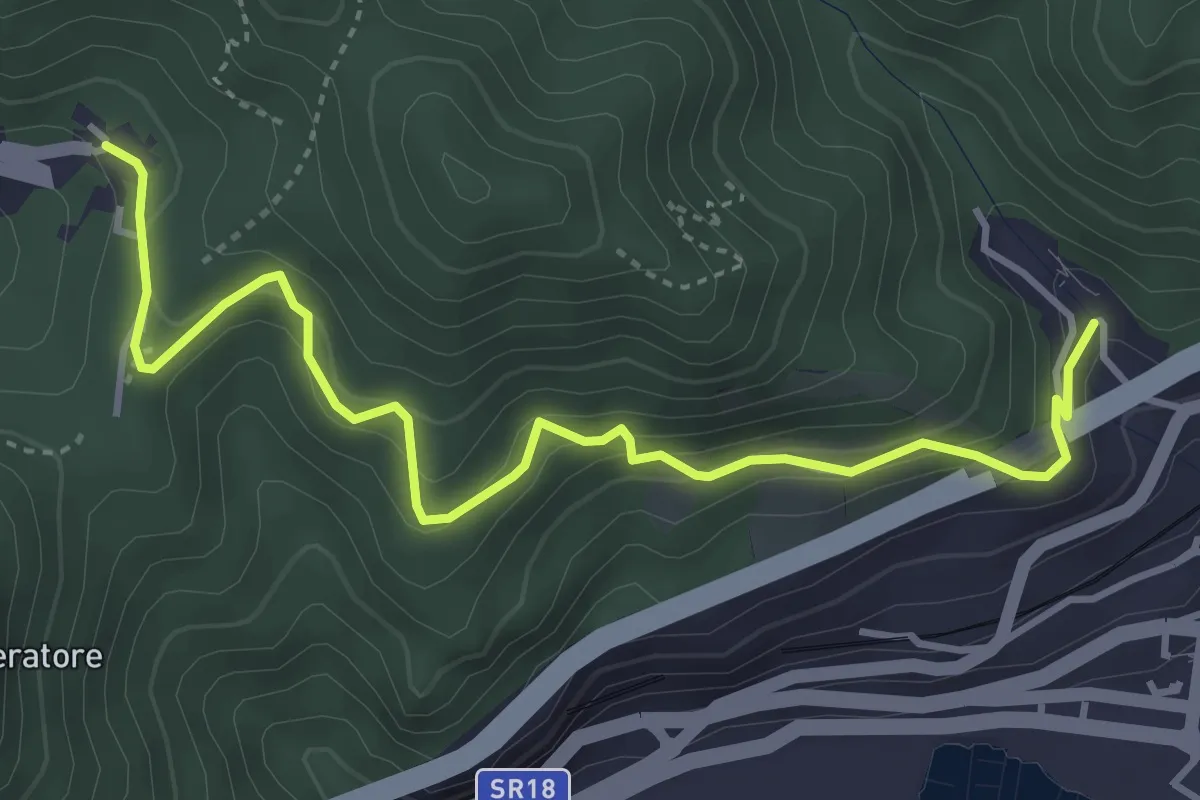
Medium · Trail
Alessia (Cava de' Tirreni) – Canalone (Salerno)
5.0 km · ↑ 335 m · 1 h 54 min · 2 km away
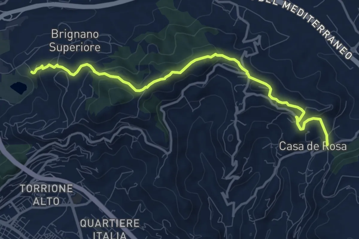
Medium · Trail
Brignano – Giovi
11.1 km · ↑ 485 m · 3 h 40 min · 3 km away
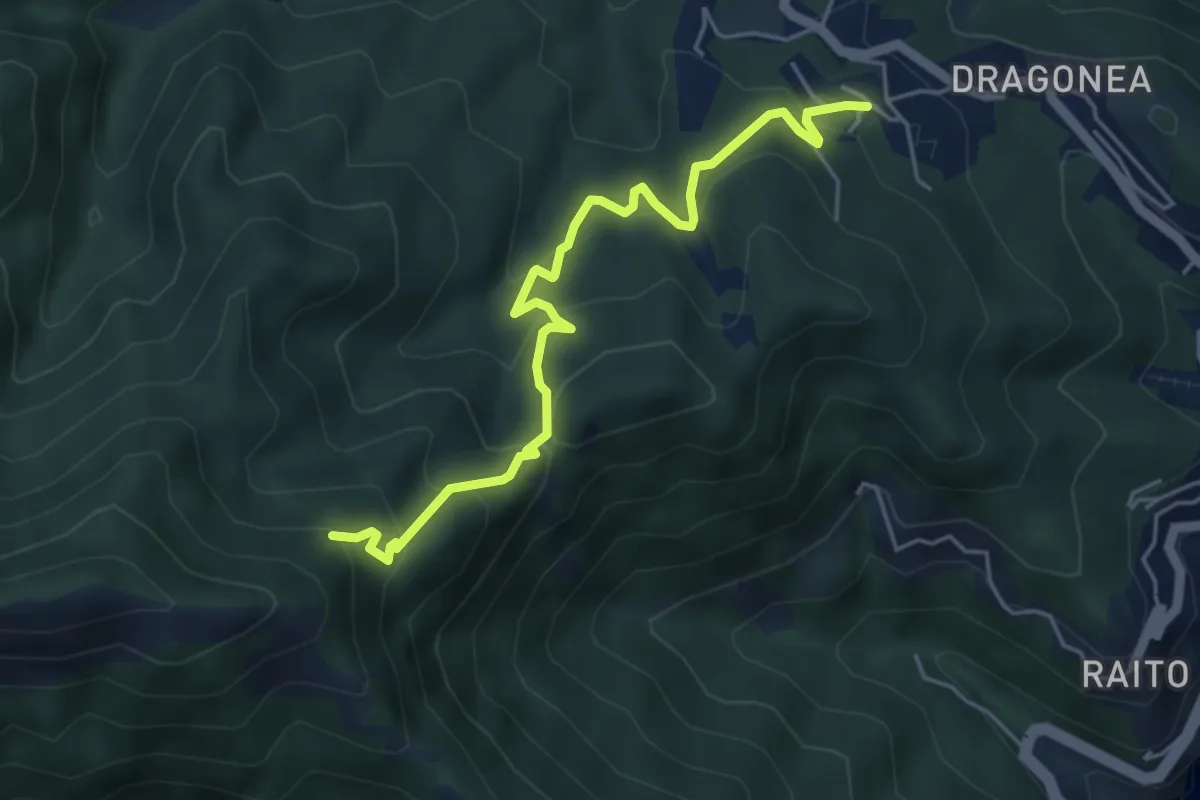
Medium · Trail
Iaconti (Dragonea) – Capodacqua
5.5 km · ↑ 404 m · 2 h 10 min · 4 km away
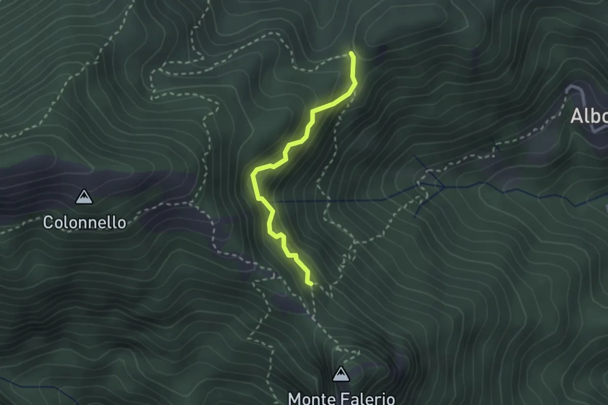
Demanding · Trail
Cappella Nuova – Sella del Monte Falerio
2.3 km · ↑ 272 m · 1 h 8 min · 5 km away
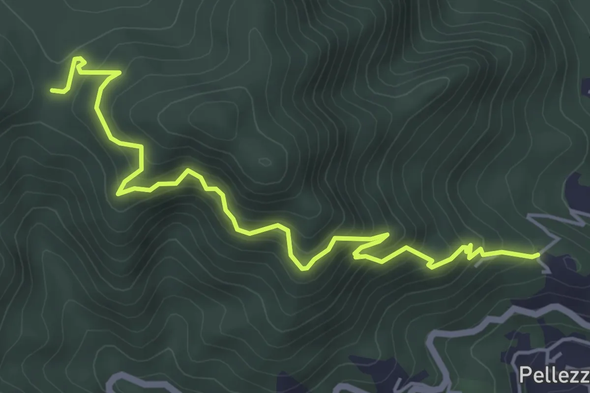
Medium · Trail
Sentiero Francesco Raso
5.9 km · ↑ 604 m · 2 h 42 min · 5 km away
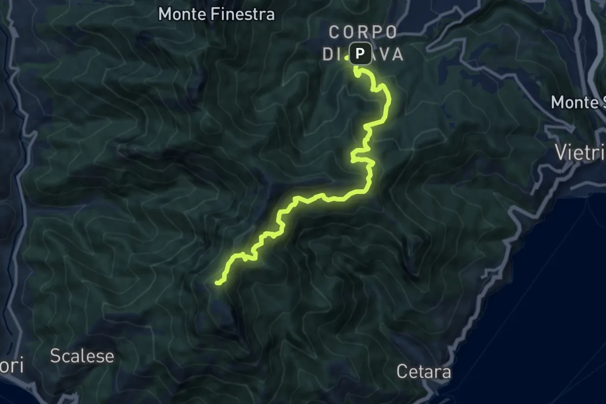
Demanding · Summit
Alta Via dei Monti Lattari - 01
12.0 km · ↑ 1182 m · 5 h 24 min · 6 km away
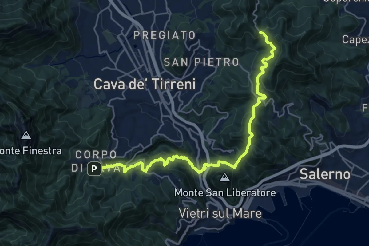
Demanding · Trail
Varco della Foce – Corpo di Cava
19.4 km · ↑ 1165 m · 7 h 6 min · 6 km away
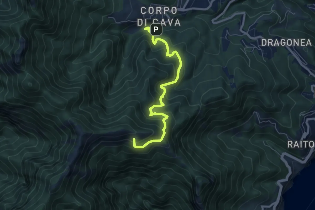
Medium · Summit
Corpo di Cava – Avvocata
6.9 km · ↑ 663 m · 3 h 4 min · 6 km away
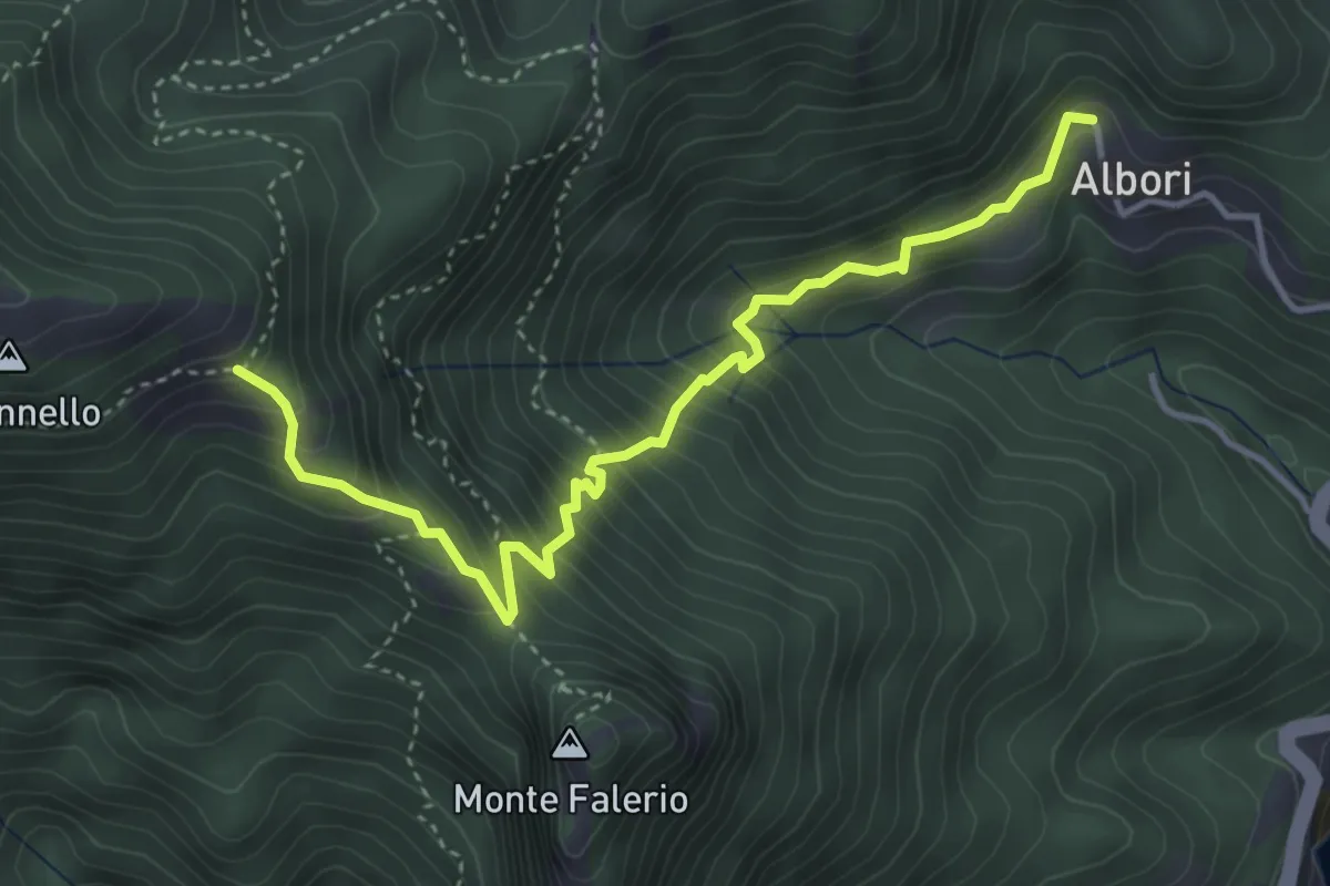
Medium · Trail
Albori – Monte Falerio / Cappella Vecchia
4.7 km · ↑ 500 m · 2 h 11 min · 6 km away
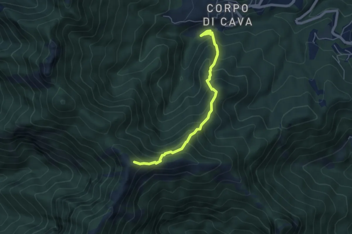
Medium · Trail
Pertone – Aria del Grano
4.9 km · ↑ 531 m · 2 h 18 min · 6 km away
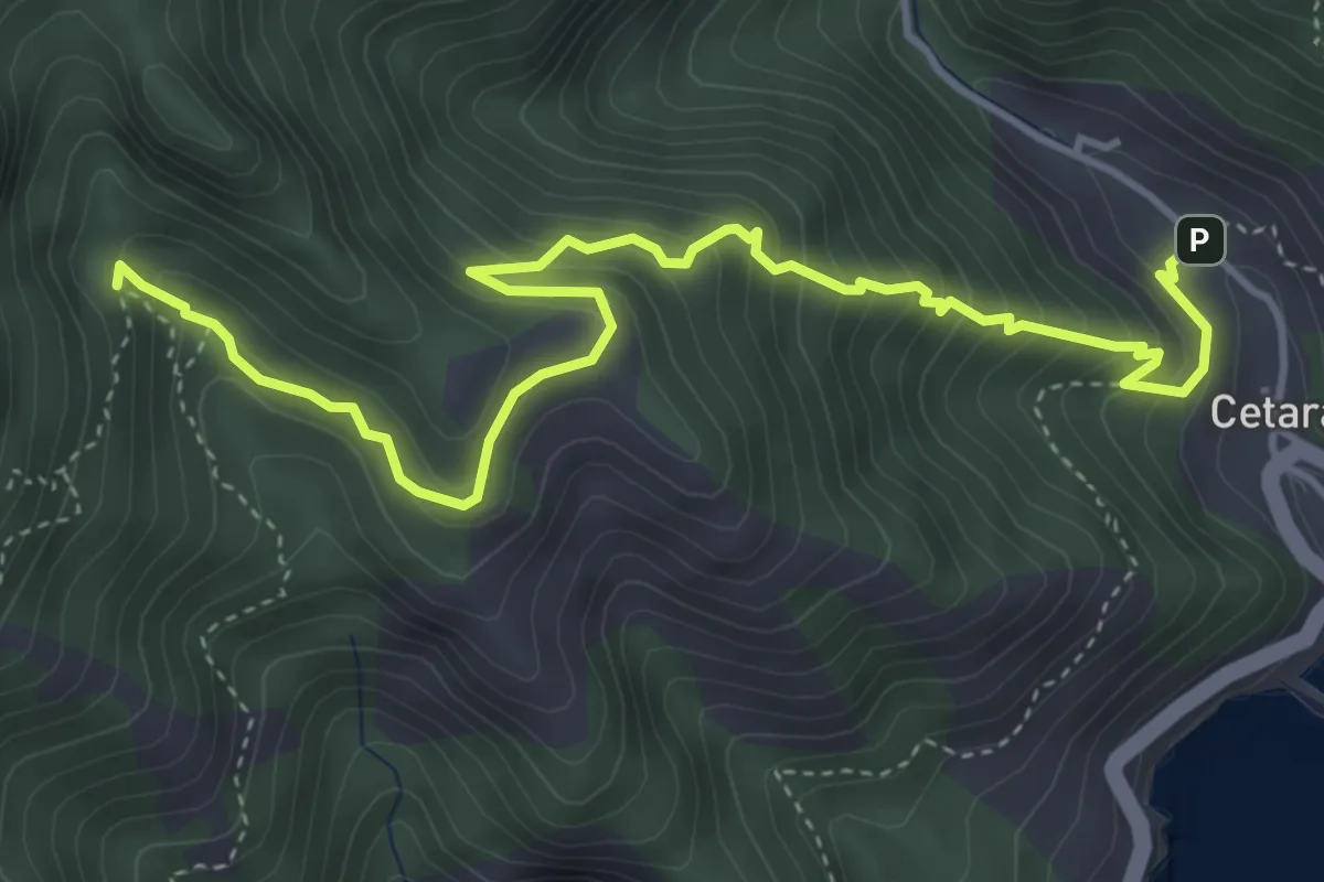
Medium · Trail
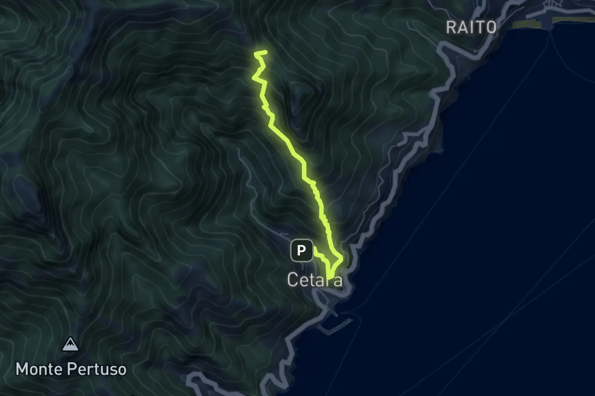
Cetara – Incrocio 305
5.7 km · ↑ 573 m · 2 h 36 min · 6 km away
Medium · Trail
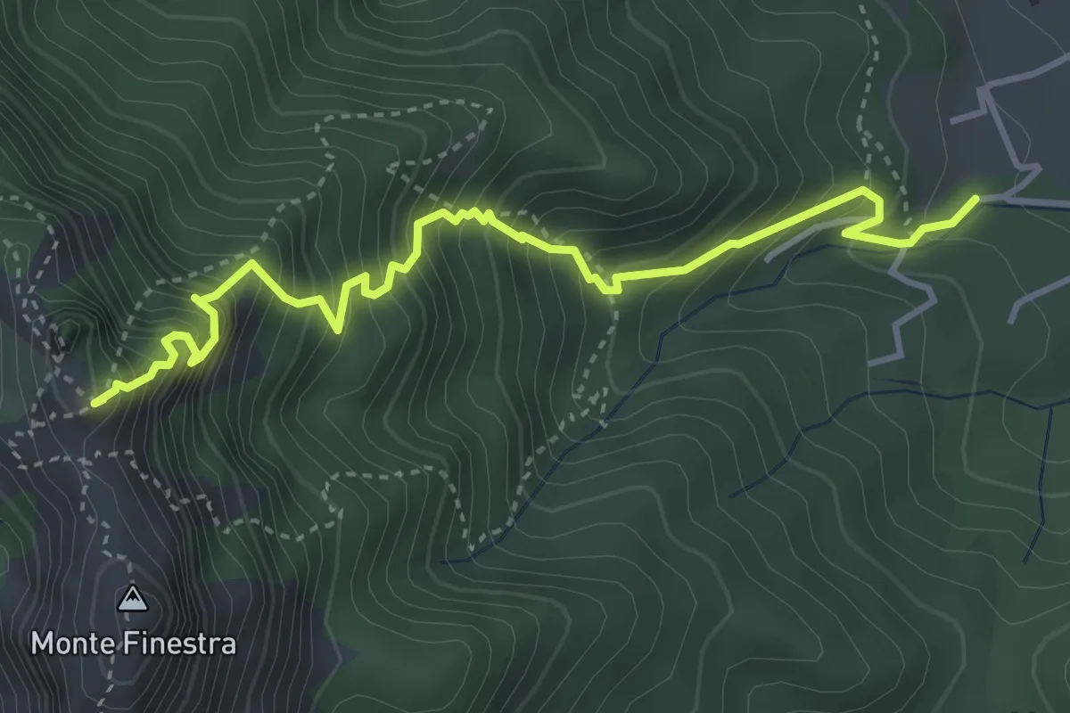
Cetara – Sella del Monte Falerio
5.8 km · ↑ 676 m · 2 h 50 min · 6 km away
Medium · Summit
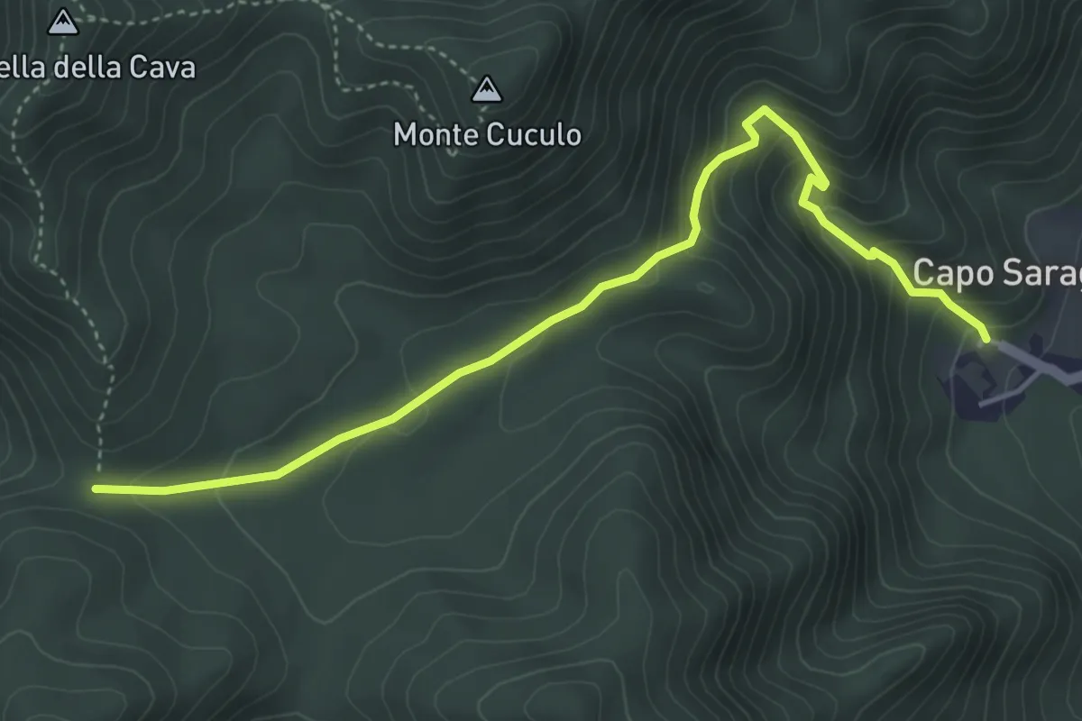
Sentiero Sergio Rosa
4.7 km · ↑ 741 m · 2 h 42 min · 6 km away
Medium · Trail
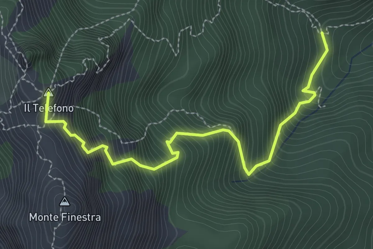
Capo Saragnano (Baronissi) – Varco Diecimare
5.1 km · ↑ 351 m · 1 h 58 min · 7 km away
Demanding · Summit
Incrocio 308 – Incrocio 300 (Forcella di Monte Finestra)
3.2 km · ↑ 607 m · 2 h 5 min · 7 km away
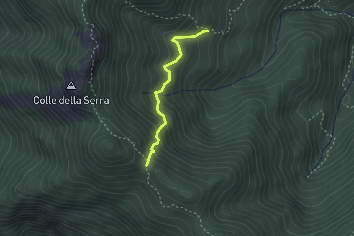
Medium · Trail
Innesto 306 – Foce di Pucara
2.2 km · ↑ 281 m · 1 h 8 min · 7 km away
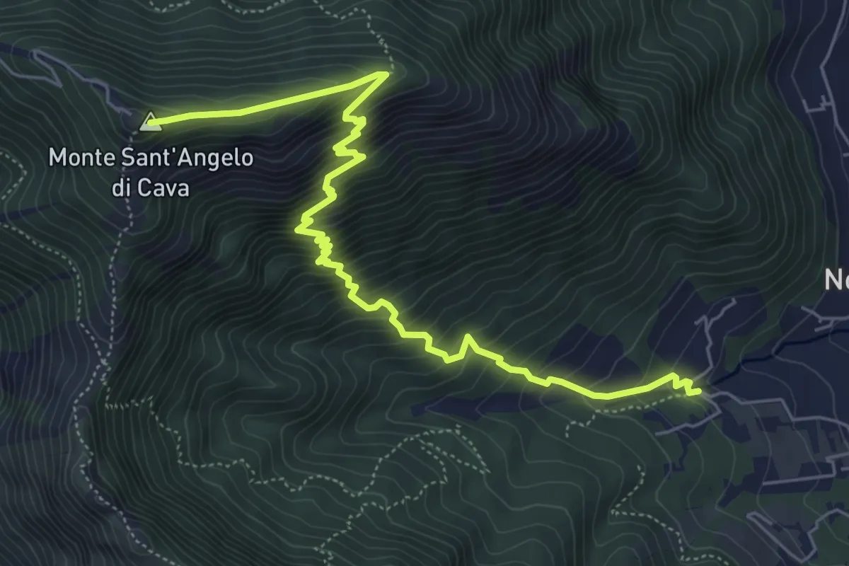
Medium · Summit
La Via della Neve
7.6 km · ↑ 776 m · 3 h 29 min · 7 km away
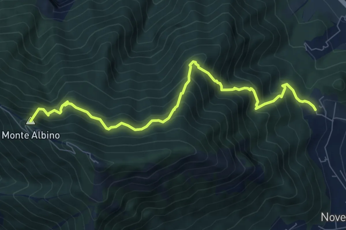
Demanding · Summit
San Martino (Cava de' Tirreni) – Loc. Le Chiancolelle
8.8 km · ↑ 1007 m · 4 h 15 min · 7 km away
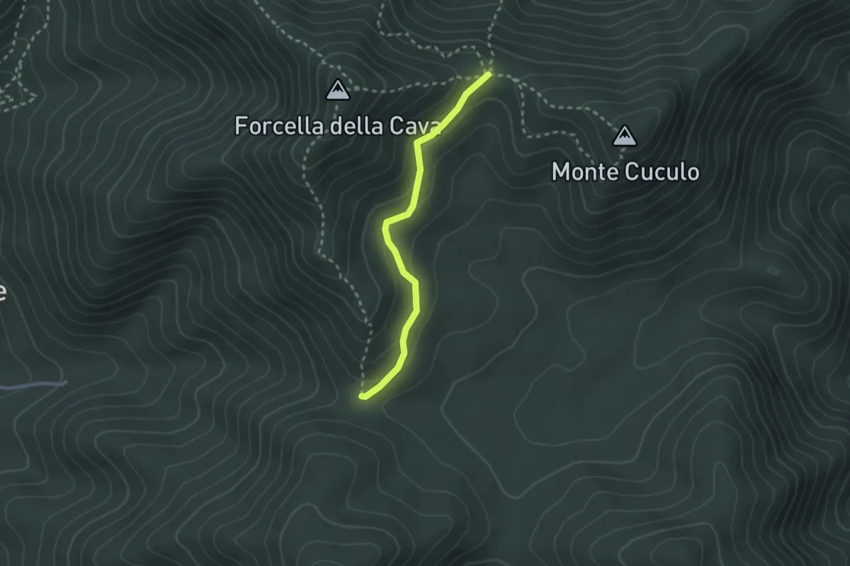
Easy · Trail
Varco Ceraso – Varco Diecimare
2.5 km · ↑ 116 m · 50 min · 8 km away
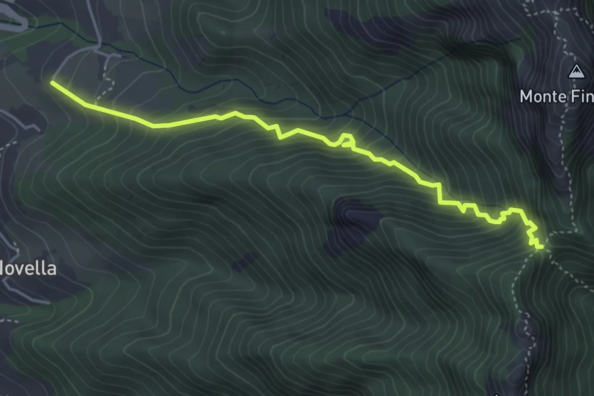
Medium · Trail
Sentiero delle Tramontane
5.0 km · ↑ 601 m · 2 h 28 min · 8 km away
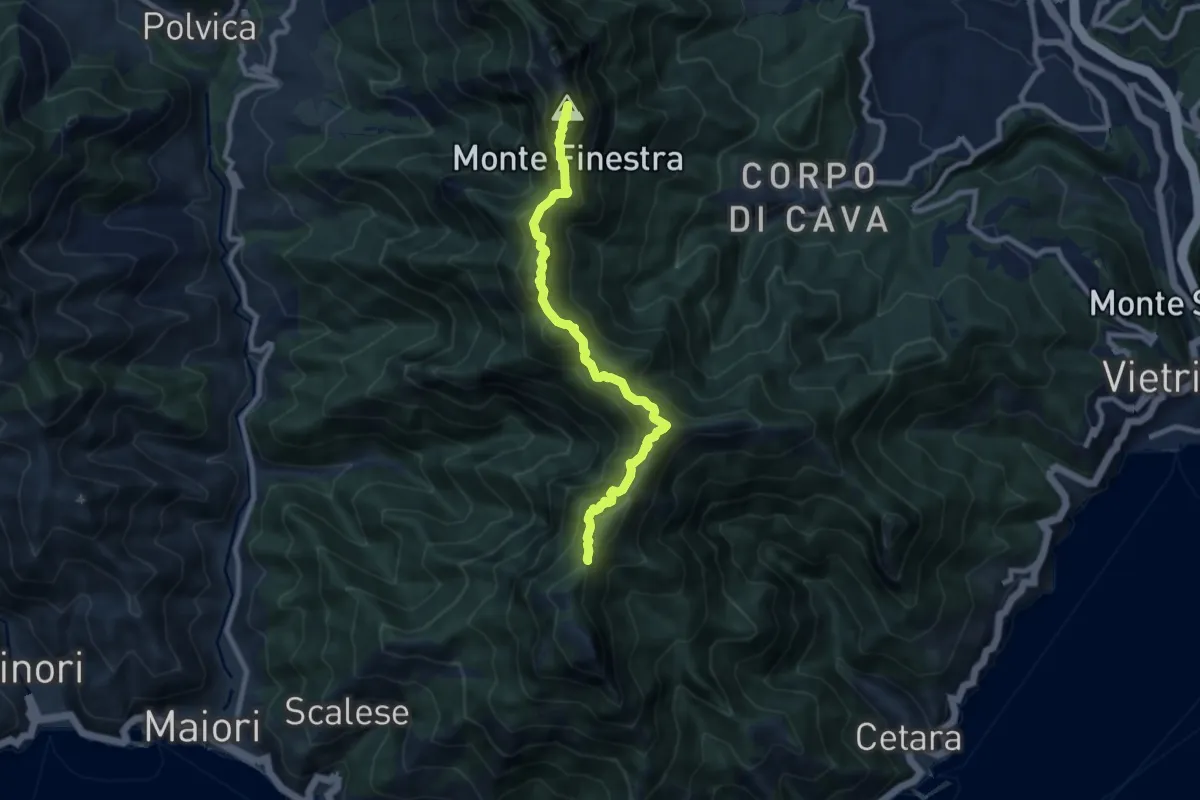
Demanding · Summit
Alta Via dei Monti Lattari - 02
9.0 km · ↑ 852 m · 3 h 59 min · 8 km away
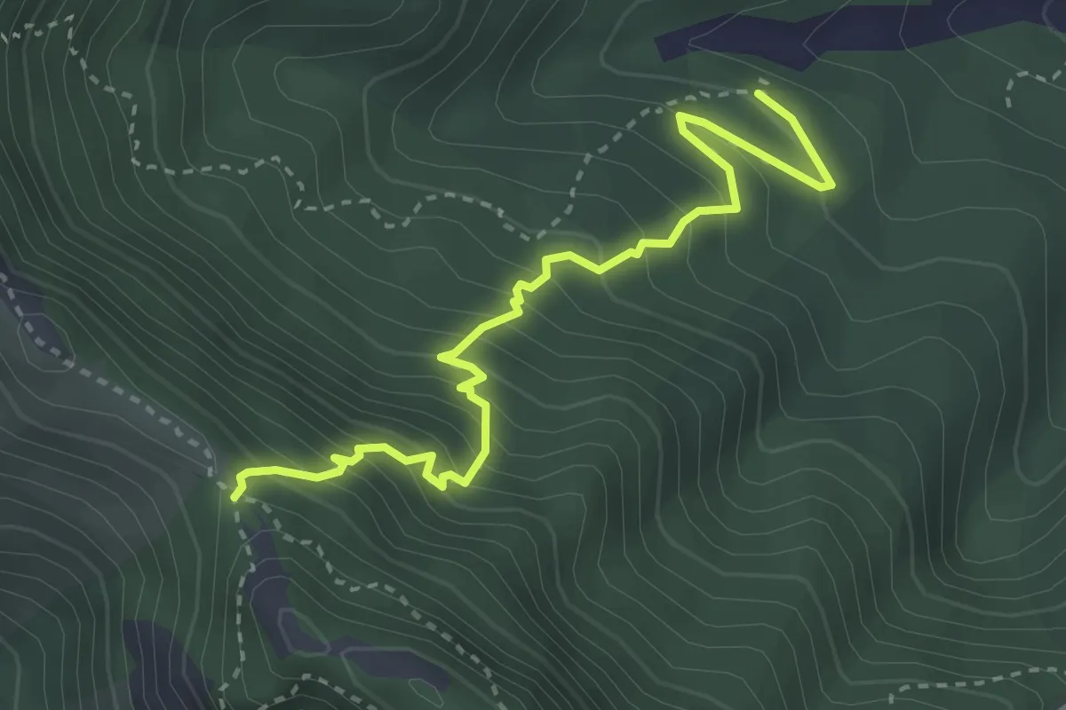
Medium · Trail
Incrocio 312a – Pietrapiana
3.9 km · ↑ 455 m · 1 h 54 min · 8 km away
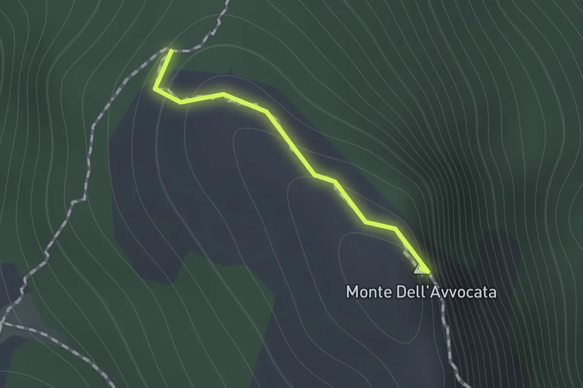
Medium · Summit
Variante per Vetta Avvocata
0.7 km · ↑ 86 m · 21 min · 8 km away
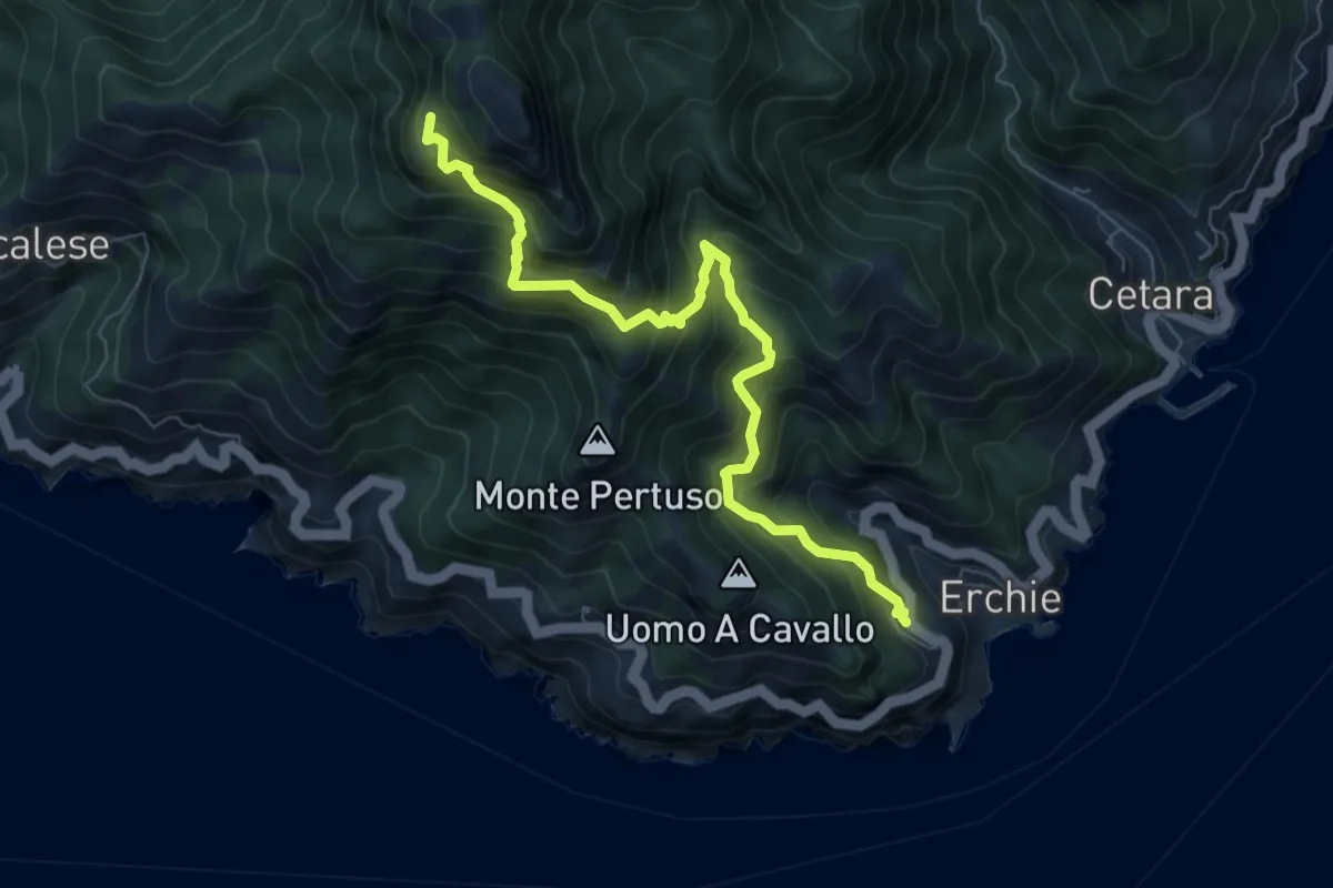
Demanding · Trail
Erchie – Santuario dell'Avvocata
8.1 km · ↑ 955 m · 3 h 58 min · 8 km away
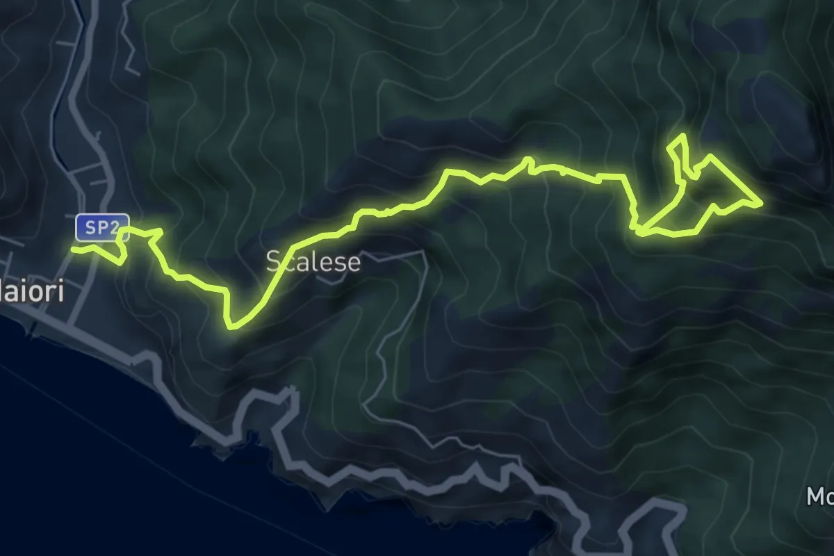
Demanding · Trail
Sentiero della Madonna dell'Avvocata
9.0 km · ↑ 1133 m · 4 h 35 min · 9 km away
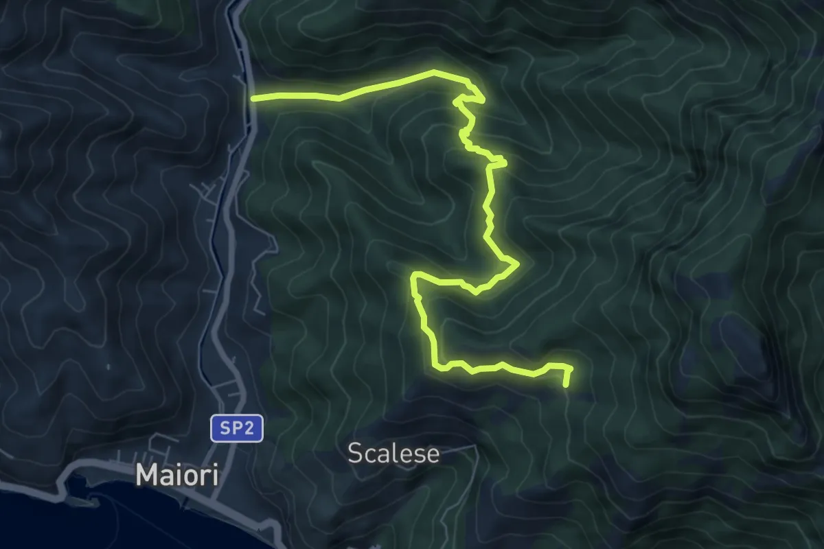
Medium · Trail
Vecite (Maiori) – Incrocio 307
8.7 km · ↑ 652 m · 3 h 28 min · 9 km away
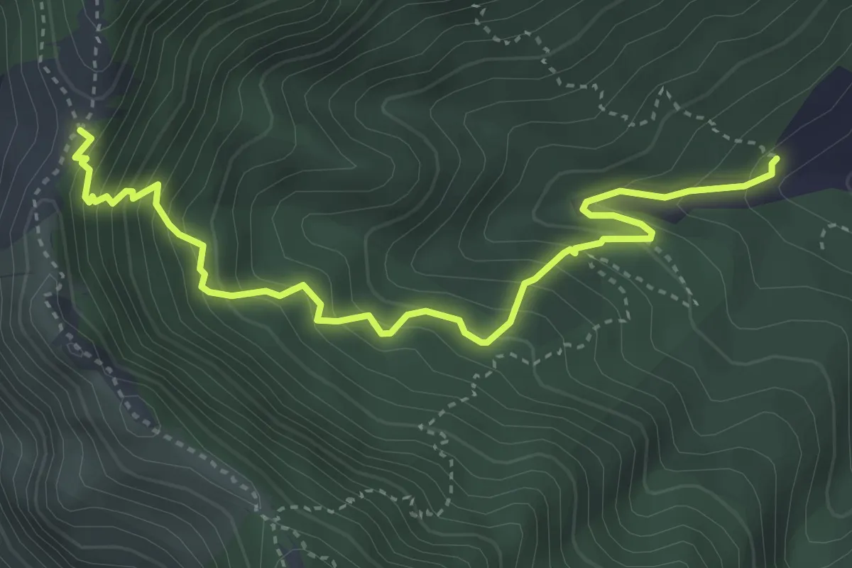
Medium · Trail
Incrocio 312 – Tuoro Sant'Angelo
4.9 km · ↑ 555 m · 2 h 22 min · 9 km away
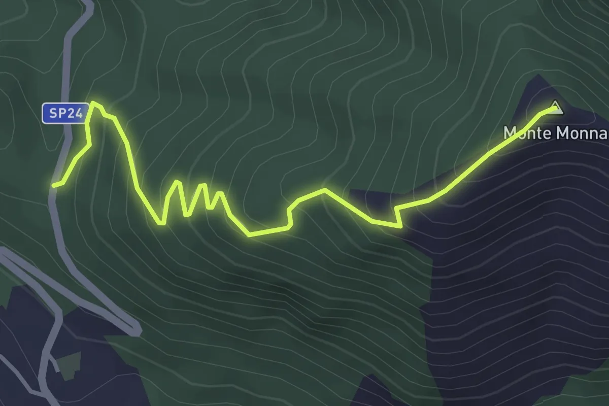
Medium · Summit
SP 24b Castiglione del Genovesi - Calvanico – Monte Monna
4.2 km · ↑ 401 m · 1 h 52 min · 9 km away
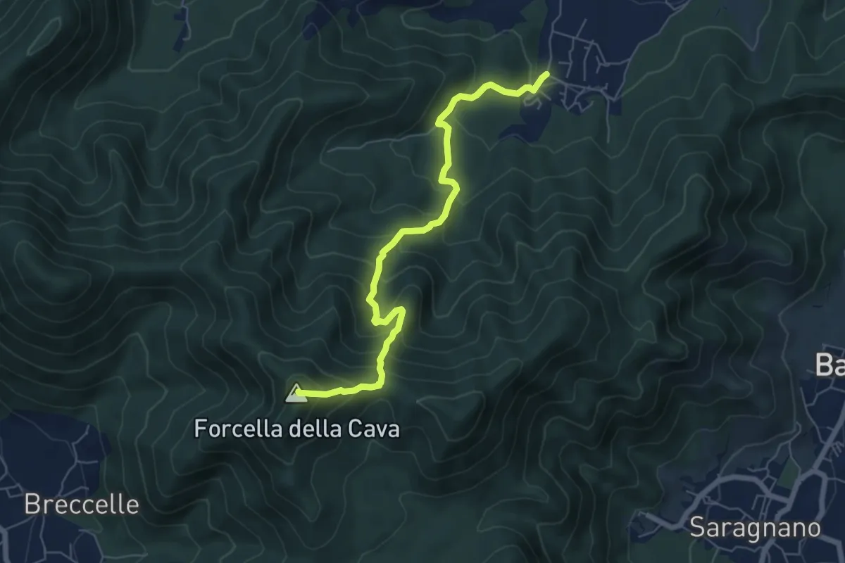
Medium · Summit
Spiano (Mercato S. Severino) – Salerno
6.8 km · ↑ 586 m · 2 h 53 min · 9 km away
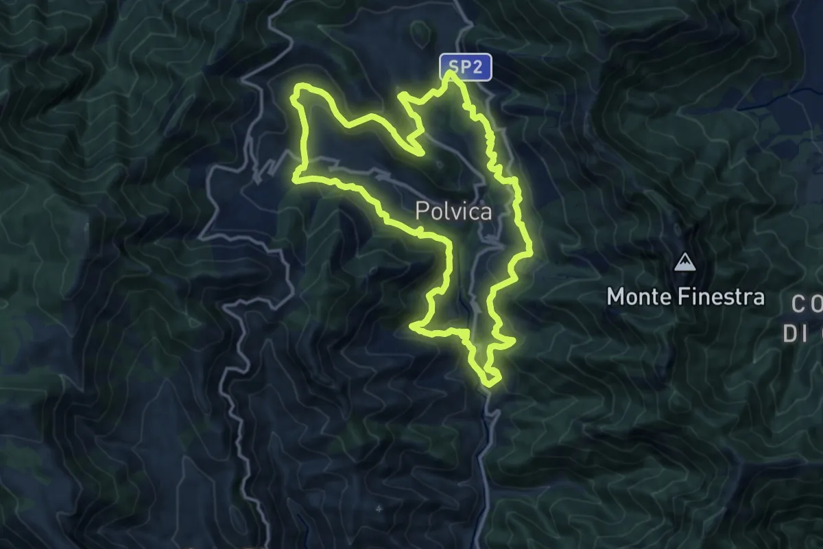
Medium · Trail
Sentiero delle 13 Chiese
15.0 km · ↑ 589 m · 5 h 2 min · 9 km away
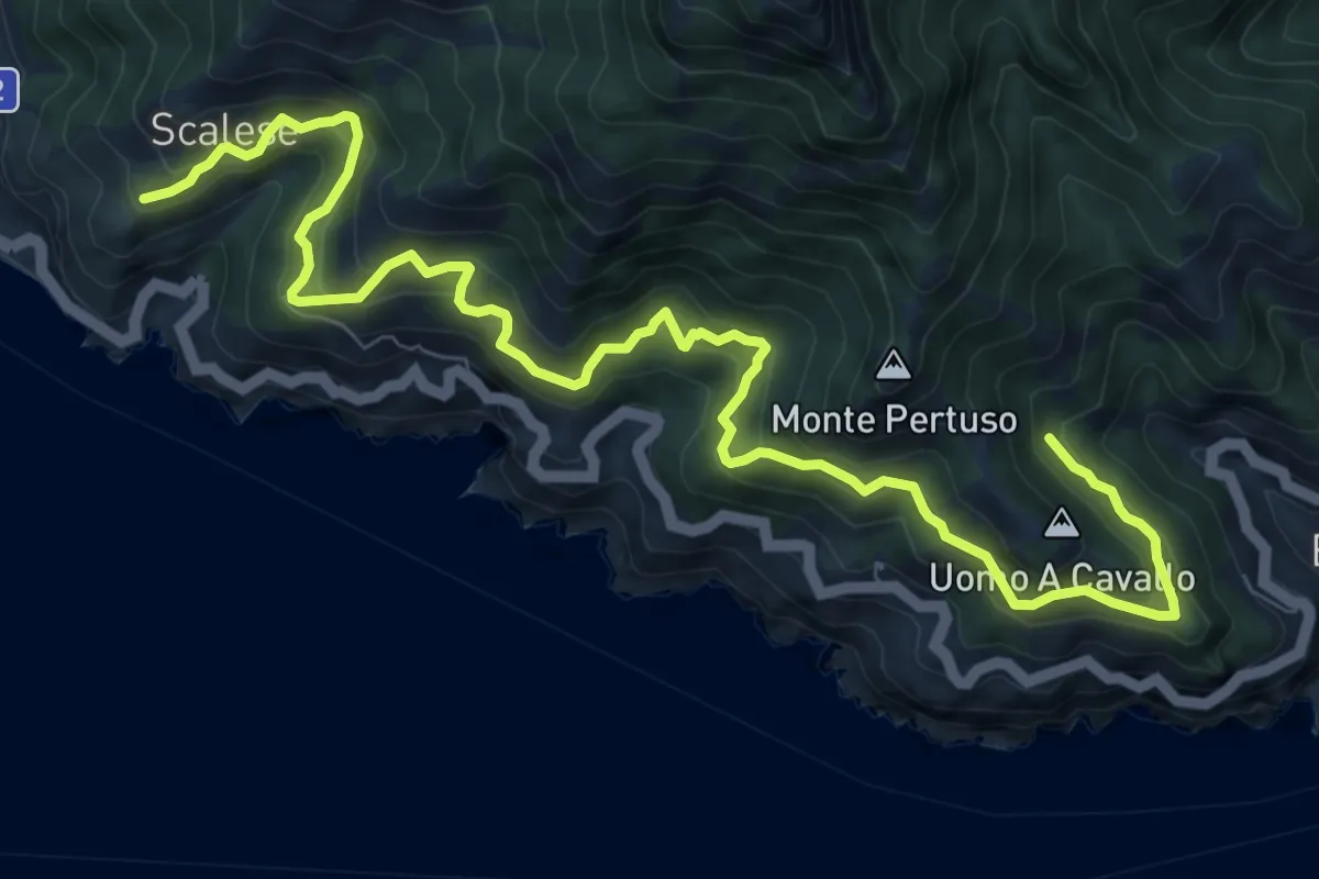
Demanding · Trail
San Vito (Maiori) – Incrocio 305 (Erchie)
12.4 km · ↑ 1116 m · 5 h 21 min · 10 km away
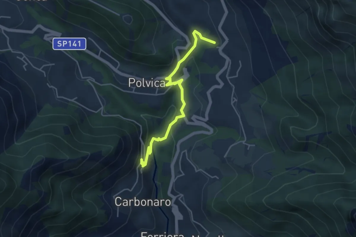
Medium · Trail
Incrocio 310 – Incrocio 310 (Paterno Sant'Arcangelo)
4.4 km · ↑ 211 m · 1 h 30 min · 10 km away
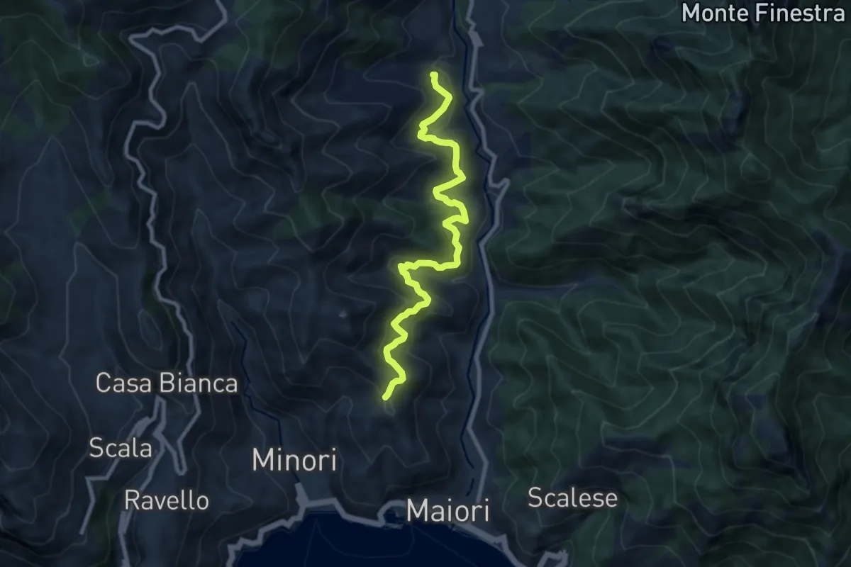
Medium · Trail
Sentiero delle Formichelle
9.4 km · ↑ 699 m · 3 h 44 min · 10 km away
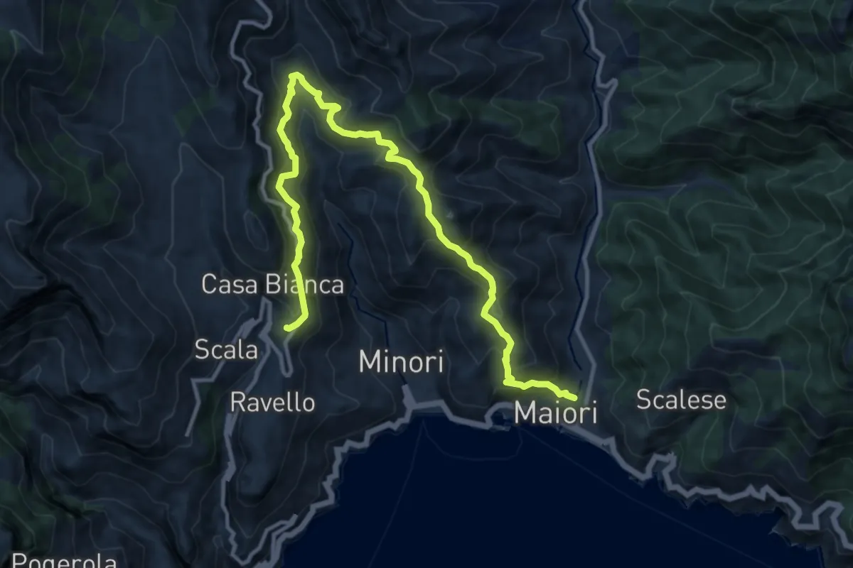
Demanding · Trail
Maiori – Ravello
14.2 km · ↑ 1089 m · 5 h 43 min · 10 km away
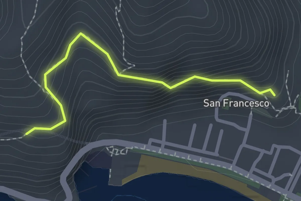
Easy · Trail
Via dei Limoni
2.1 km · ↑ 188 m · 55 min · 11 km away
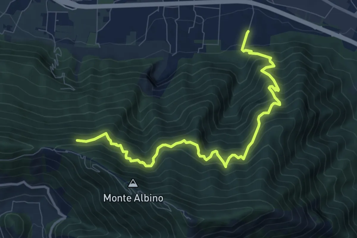
Demanding · Trail
Loc. Petraro Pucciano (Nocera Inf.) – Incrocio 316
10.7 km · ↑ 1362 m · 5 h 29 min · 11 km away
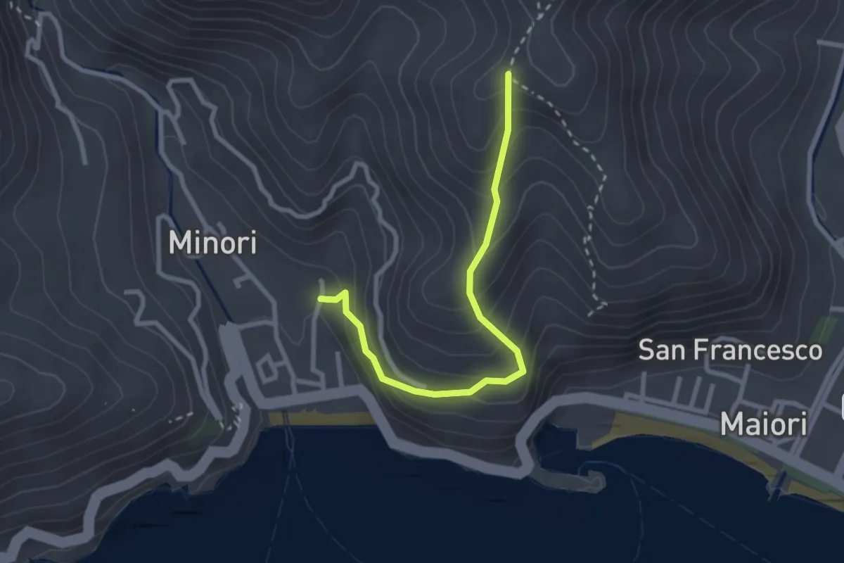
Medium · Trail
Minori – Incrocio 315a
2.8 km · ↑ 273 m · 1 h 15 min · 11 km away
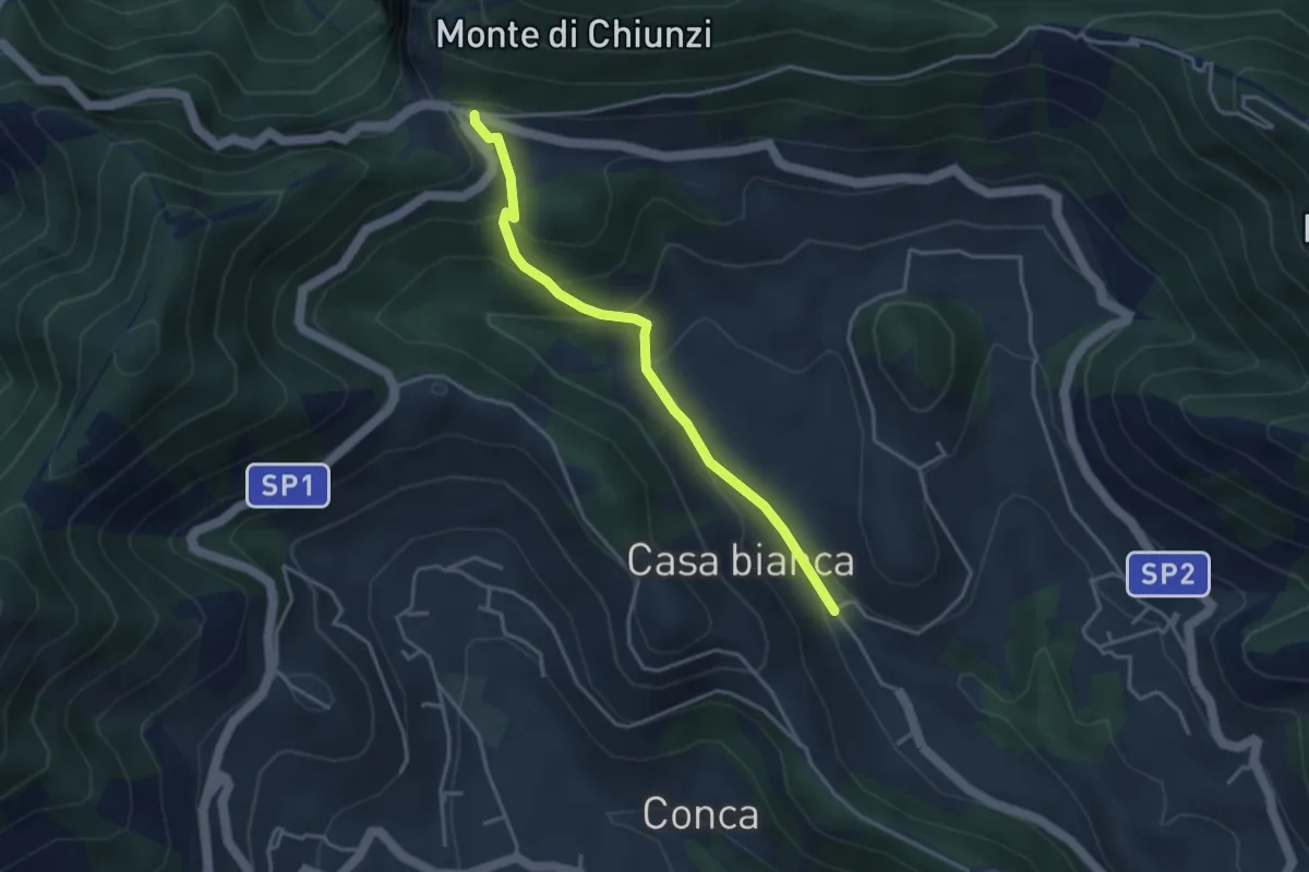
Easy · Trail
Incrocio 310 (Loc. Casa Lauro) – Valico di Chiunzi
3.8 km · ↑ 243 m · 1 h 26 min · 11 km away
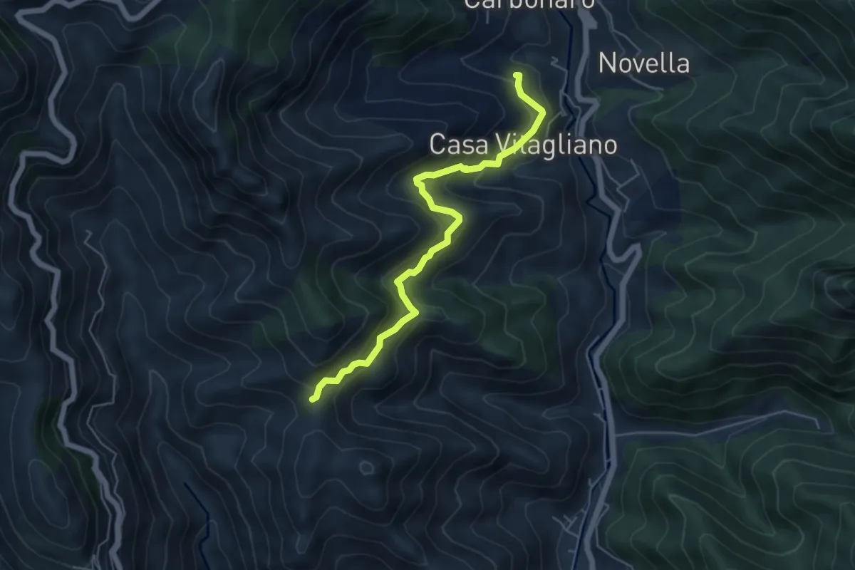
Medium · Trail
Paterno Sant'Elia (Tramonti) – Località Mandrino
5.6 km · ↑ 513 m · 2 h 26 min · 11 km away
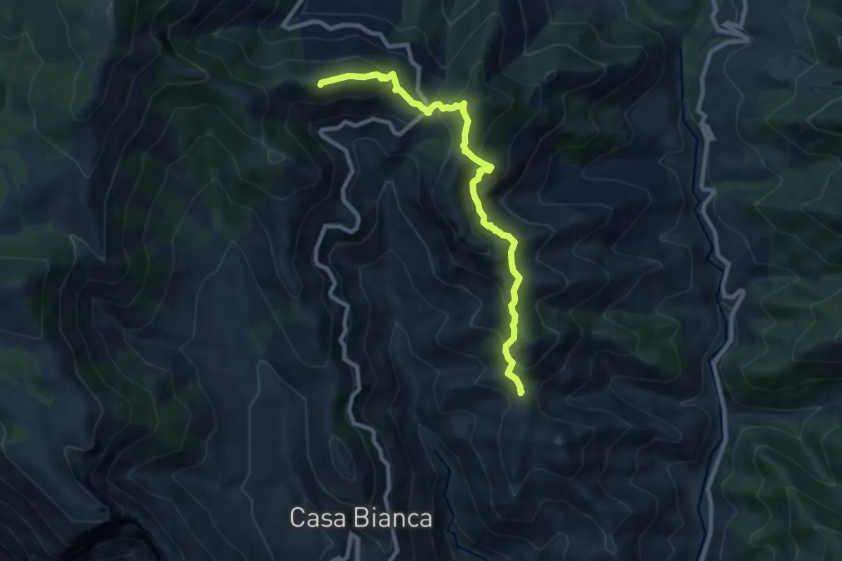
Medium · Summit
Innesto 315a (Loc. Mandrino) – Incrocio 300
8.2 km · ↑ 733 m · 3 h 32 min · 11 km away
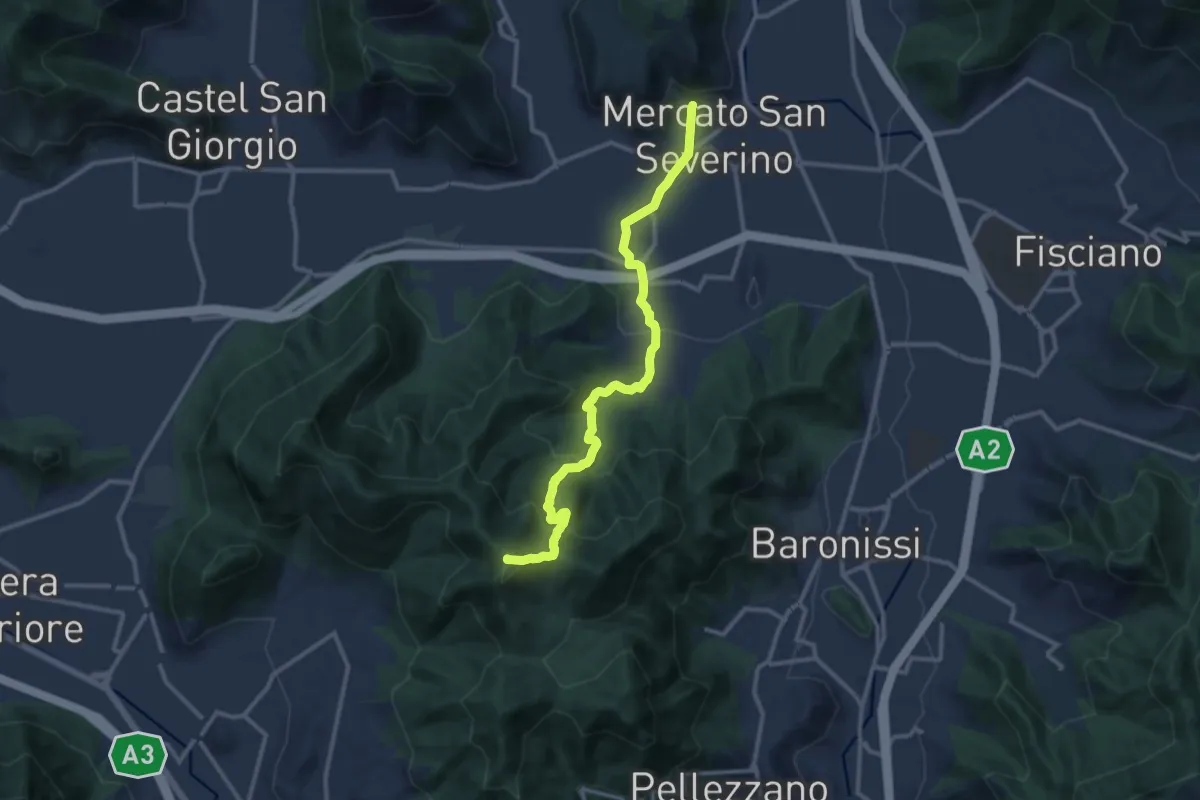
Medium · Summit
Mercato San Severino – Varco della Foce
13.2 km · ↑ 716 m · 4 h 40 min · 12 km away
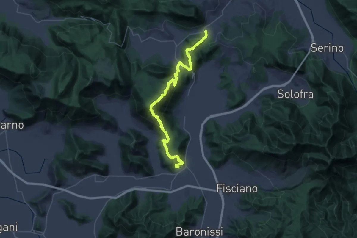
Demanding · Trail
Contrada – Mercato San Severino
15.9 km · ↑ 1073 m · 6 h 11 min · 12 km away
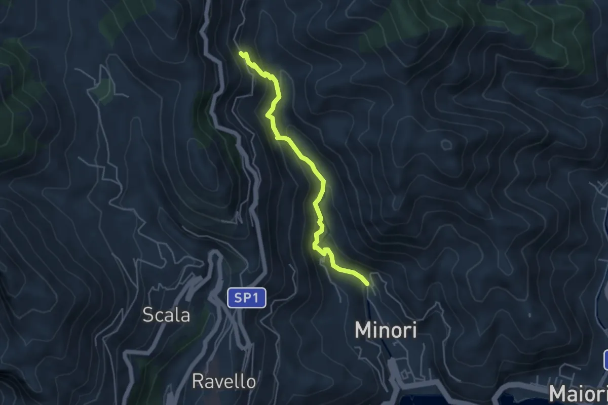
Medium · Trail
Loc. Villamena (Minori) – Loc. Sambuco
4.5 km · ↑ 332 m · 1 h 47 min · 12 km away
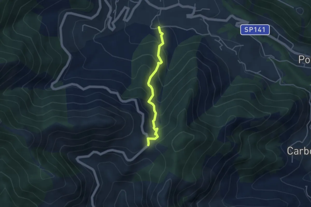
Medium · Trail
Loc. Frescale (Tramonti) – Loc. Passo
3.3 km · ↑ 329 m · 1 h 30 min · 12 km away
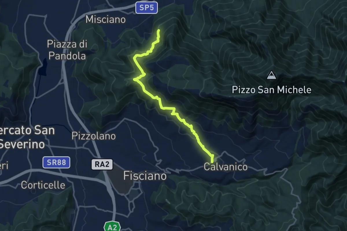
Medium · Trail
Santuario dell'Incoronata (Montoro Inferiore) – Santuario del Salvatore (Piè di Calvanico)
12.8 km · ↑ 600 m · 4 h 19 min · 12 km away
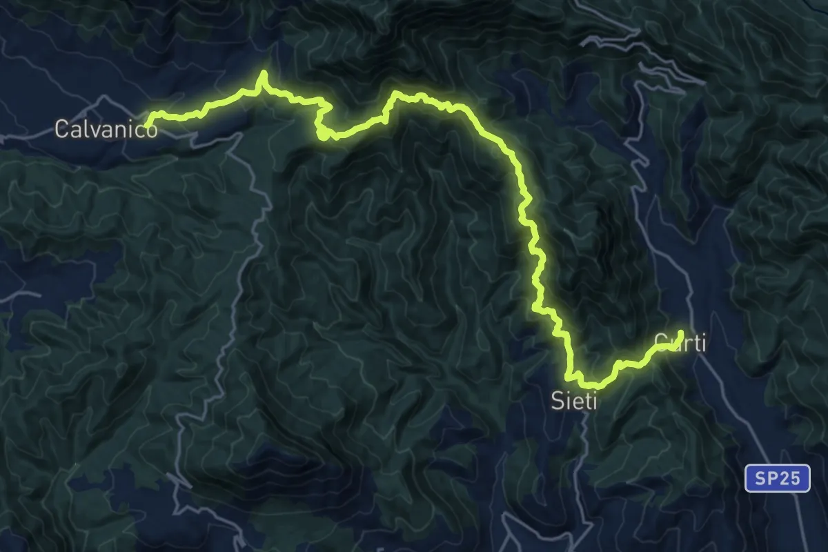
Demanding · Trail
Tre Comuni Trek
13.8 km · ↑ 955 m · 5 h 34 min · 12 km away
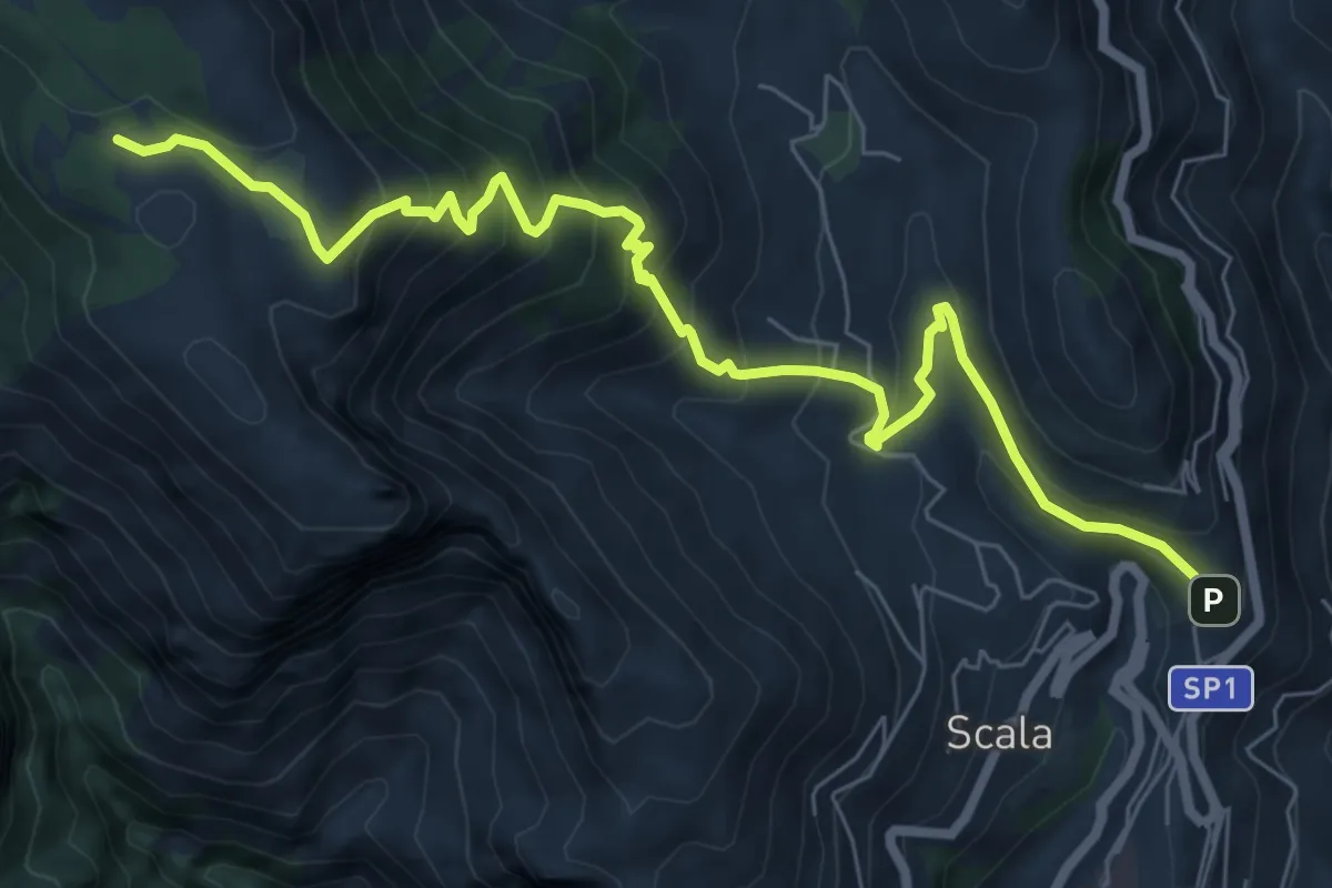
Medium · Trail
Sentiero di Santa Maria ai Monti
9.2 km · ↑ 753 m · 3 h 48 min · 13 km away