Trails near Salerno
75 hikes starting within 15 km, nearest first.
Nearest first, page 2 of 2
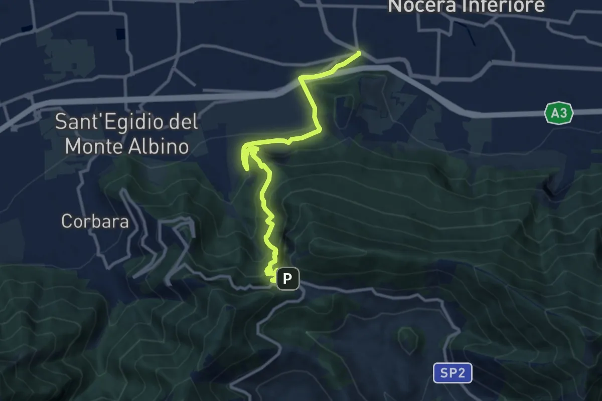
Demanding · Trail
Santa Chiara (Nocera Inferiore) – Valico di Chiunzi
10.9 km · ↑ 833 m · 4 h 23 min · 13 km away
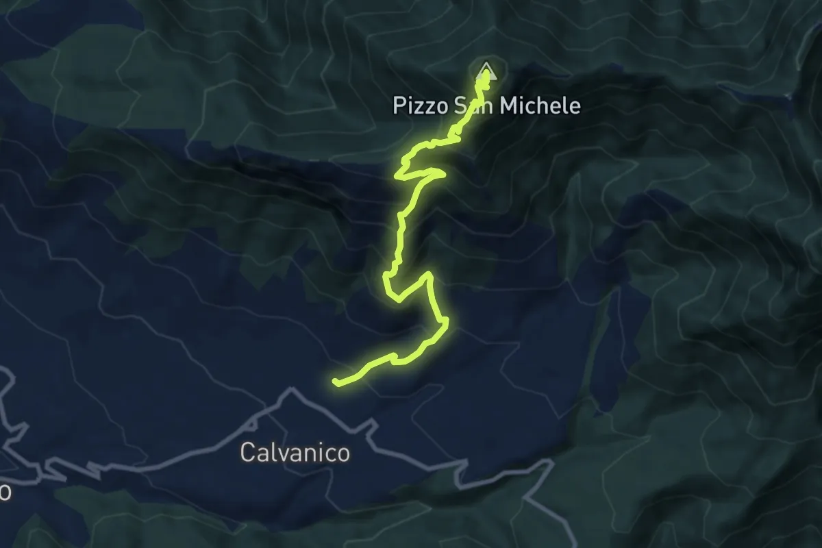
Demanding · Summit
Capo Calvanico – Pizzo San Michele
9.6 km · ↑ 987 m · 4 h 24 min · 13 km away
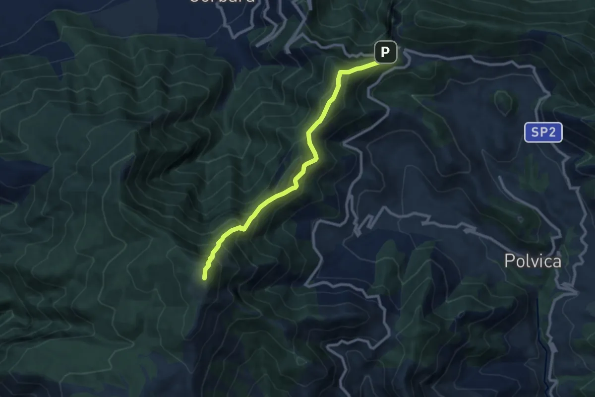
Demanding · Summit
Valico di Chiunzi – Rifugio Santa Maria dei Monti
8.9 km · ↑ 885 m · 4 h 2 min · 13 km away
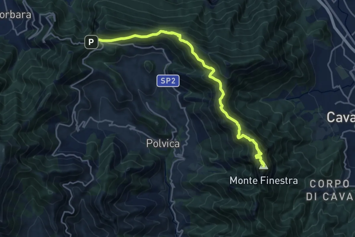
Demanding · Summit
Avvocata – Valico di Chiunzi
15.5 km · ↑ 960 m · 5 h 45 min · 13 km away
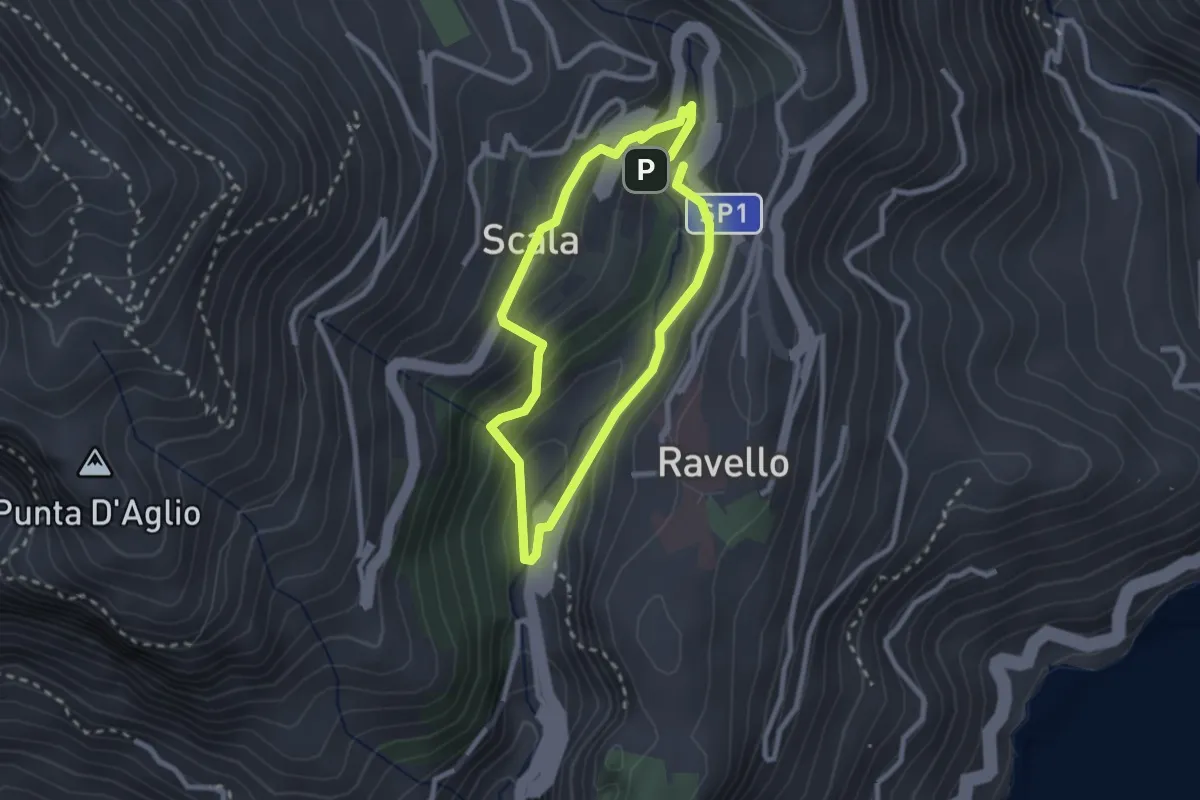
Easy · Trail
Anello del Dragone
2.3 km · ↑ 139 m · 53 min · 13 km away
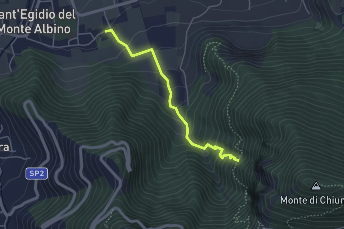
Medium · Trail
Sant'Egidio del Monte Albino – Incrocio 320
3.8 km · ↑ 303 m · 1 h 34 min · 13 km away
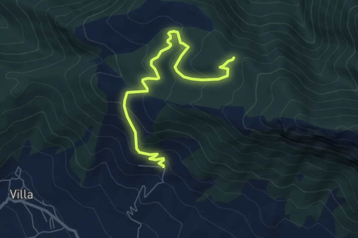
Medium · Trail
San Michele di Basso (Fisciano) – Innesto 136
7.0 km · ↑ 377 m · 2 h 28 min · 13 km away
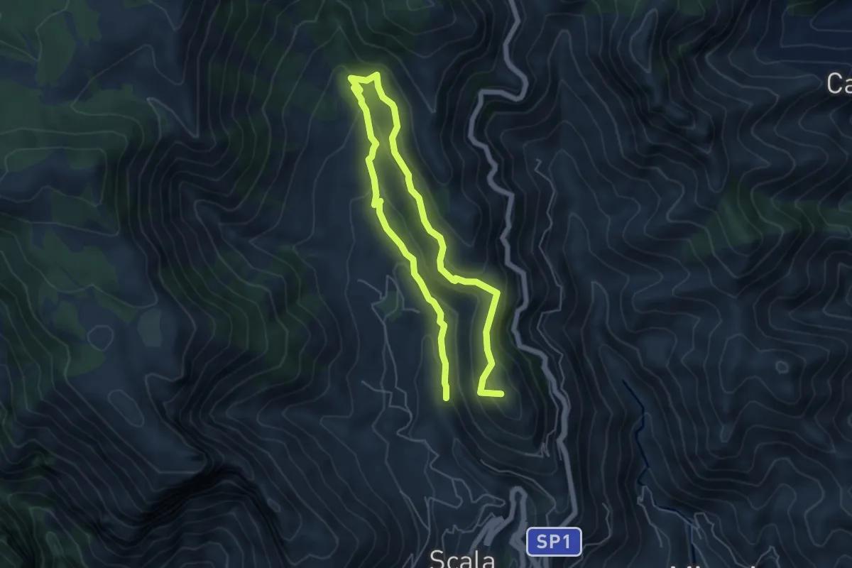
Medium · Summit
Incrocio 353 (Loc. Santa Caterina) – Incrocio 315
9.4 km · ↑ 504 m · 3 h 19 min · 13 km away
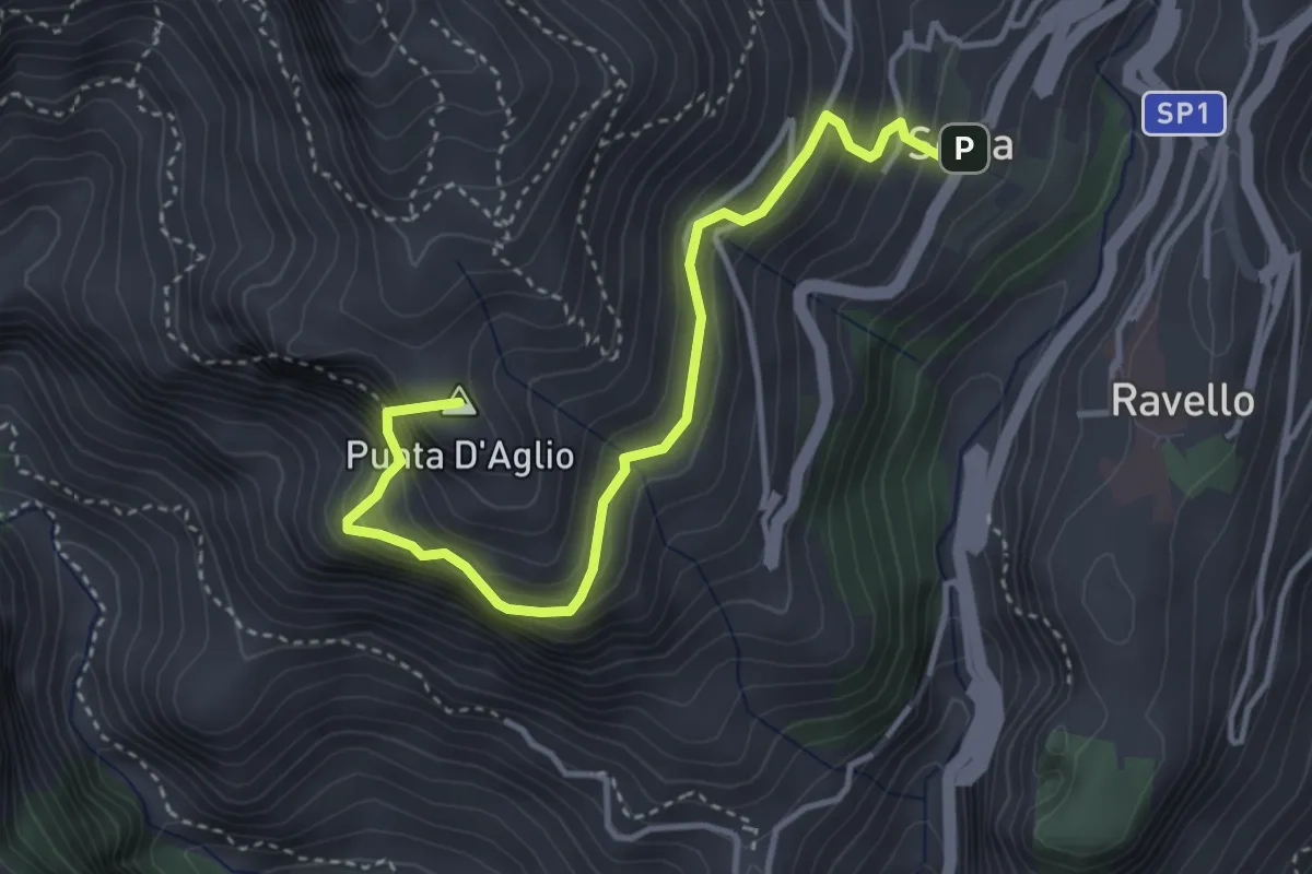
Medium · Summit
Scala – Incrocio 301 (loc. Pellagra)
4.4 km · ↑ 683 m · 2 h 32 min · 13 km away
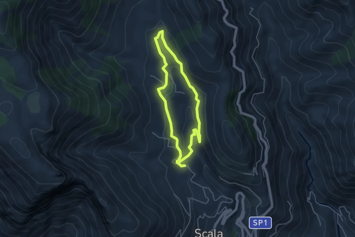
Medium · Trail
Fontana Carosa da Scala
3.6 km · ↑ 145 m · 1 h 12 min · 13 km away
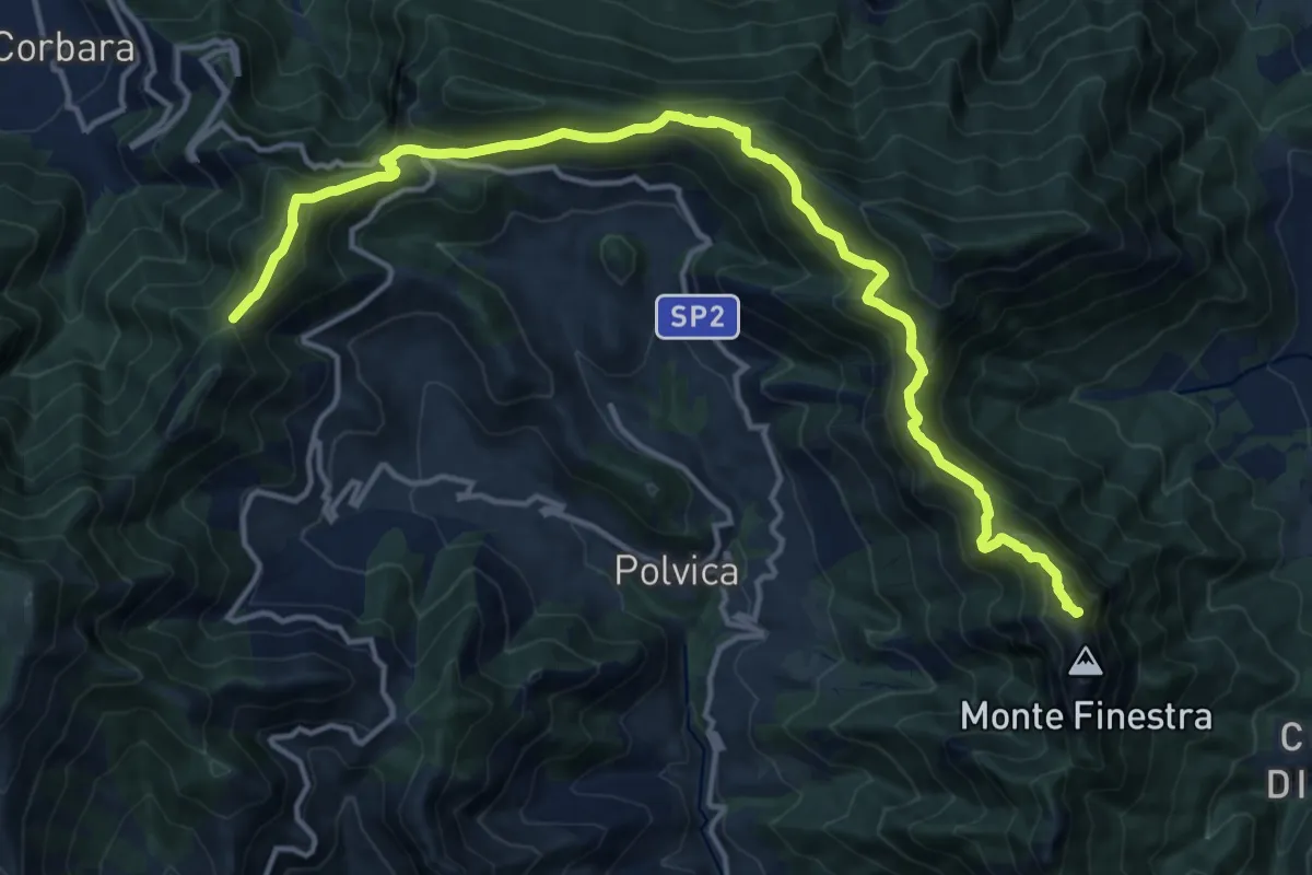
Demanding · Summit
Alta Via dei Monti Lattari - 03
17.8 km · ↑ 1127 m · 6 h 39 min · 13 km away
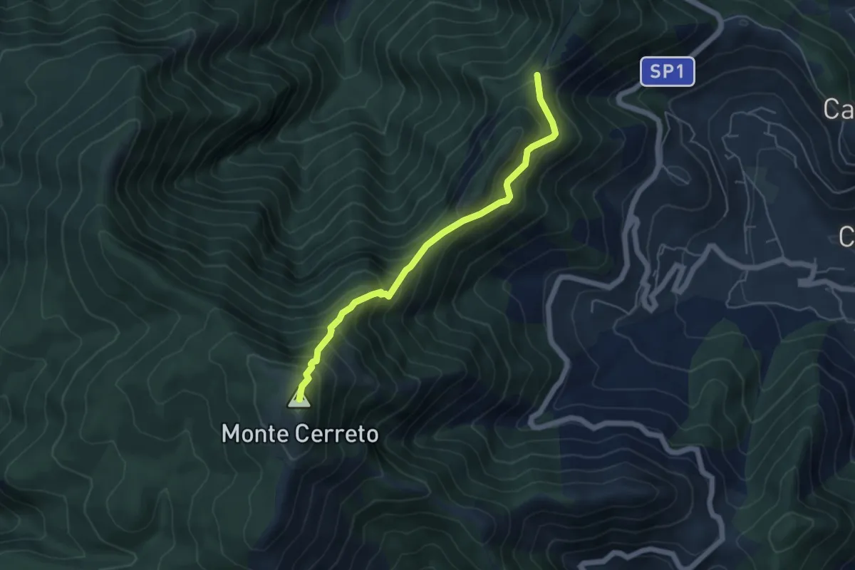
Demanding · Summit
Alta Via dei Monti Lattari - 04
5.2 km · ↑ 612 m · 2 h 34 min · 13 km away
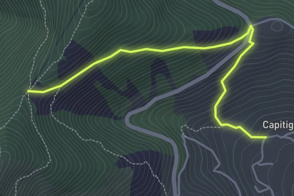
Medium · Trail
Capitignano (Tramonti) – Tuoro di Cesarano
3.8 km · ↑ 360 m · 1 h 40 min · 13 km away
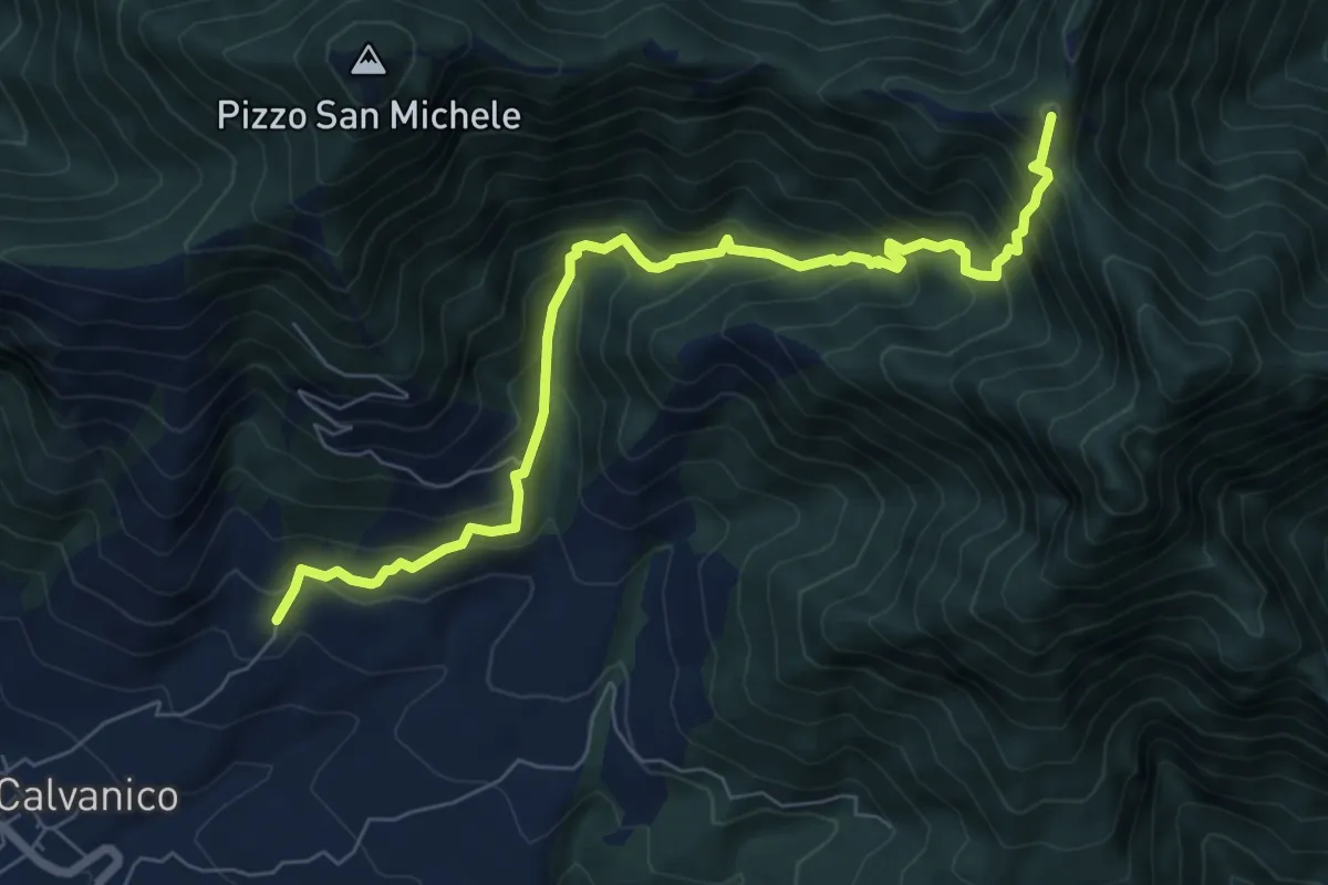
Demanding · Summit
Capo Calvanico – Varco della Teglia (innesto 116)
8.4 km · ↑ 870 m · 3 h 53 min · 13 km away
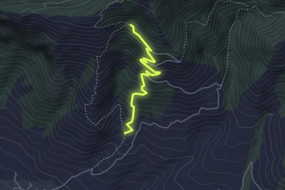
Medium · Trail
Vecchio sentiero dei pellegrini
3.8 km · ↑ 407 m · 1 h 47 min · 13 km away
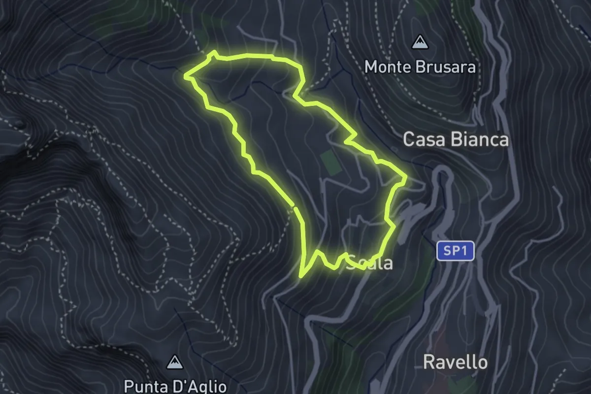
Medium · Trail
Anello di Fra Gerardo Sasso
3.5 km · ↑ 237 m · 1 h 23 min · 13 km away
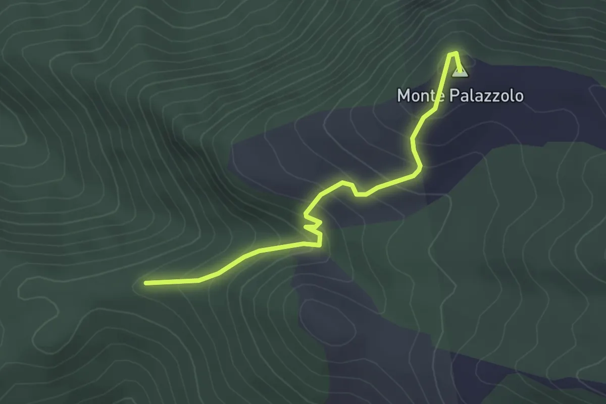
Easy · Summit
Cisterne – Monte Palazzolo
3.3 km · ↑ 284 m · 1 h 24 min · 14 km away
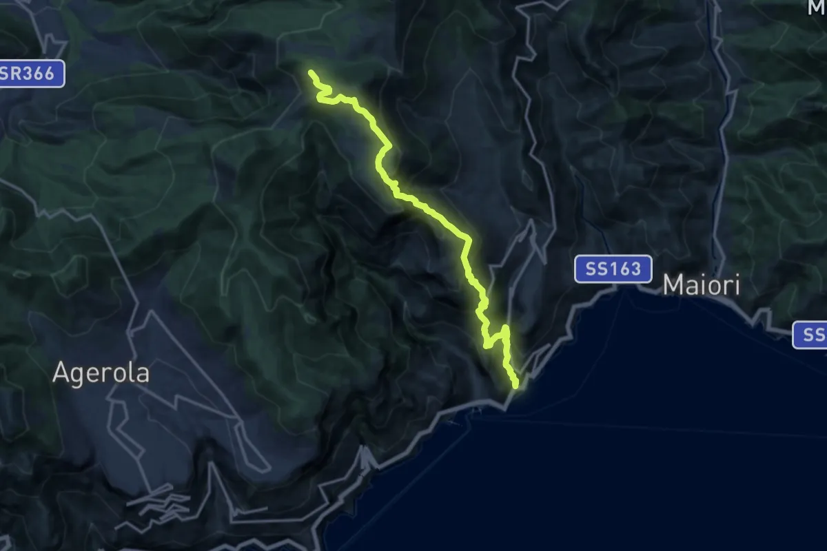
Demanding · Trail
Atrani – Incrocio 300
15.2 km · ↑ 1463 m · 6 h 45 min · 14 km away
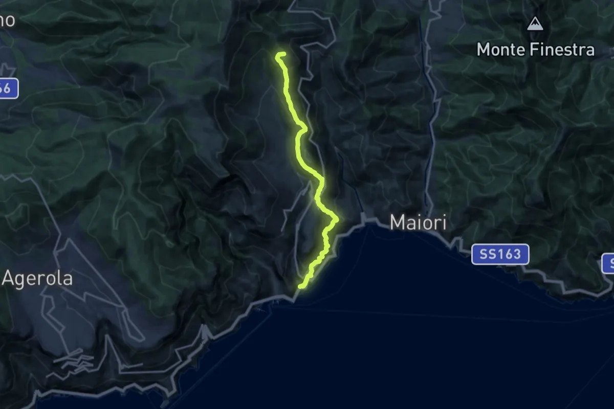
Demanding · Summit
Atrani – Loc. Cerreto
13.7 km · ↑ 1139 m · 5 h 42 min · 14 km away
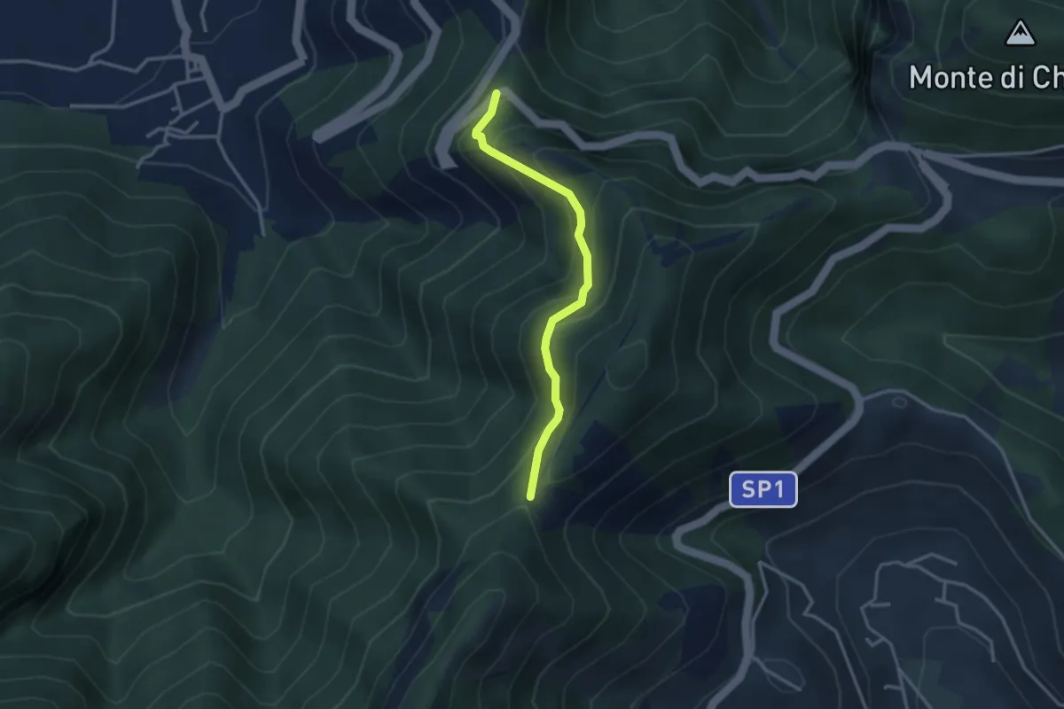
Medium · Trail
Corbara – Tuoro di Cesarano
3.1 km · ↑ 293 m · 1 h 22 min · 14 km away
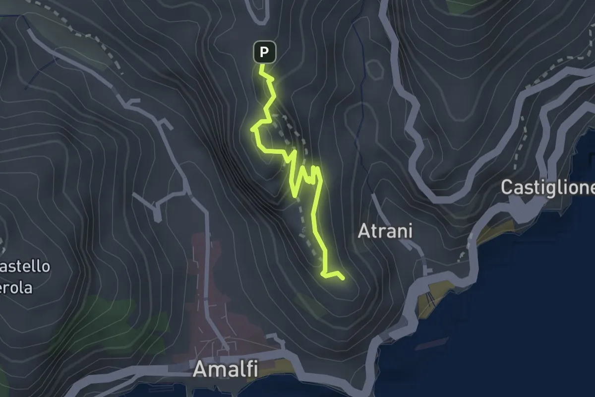
Easy · Trail
Pontone (Scala) – Torre dello Ziro
2.2 km · ↑ 152 m · 51 min · 14 km away
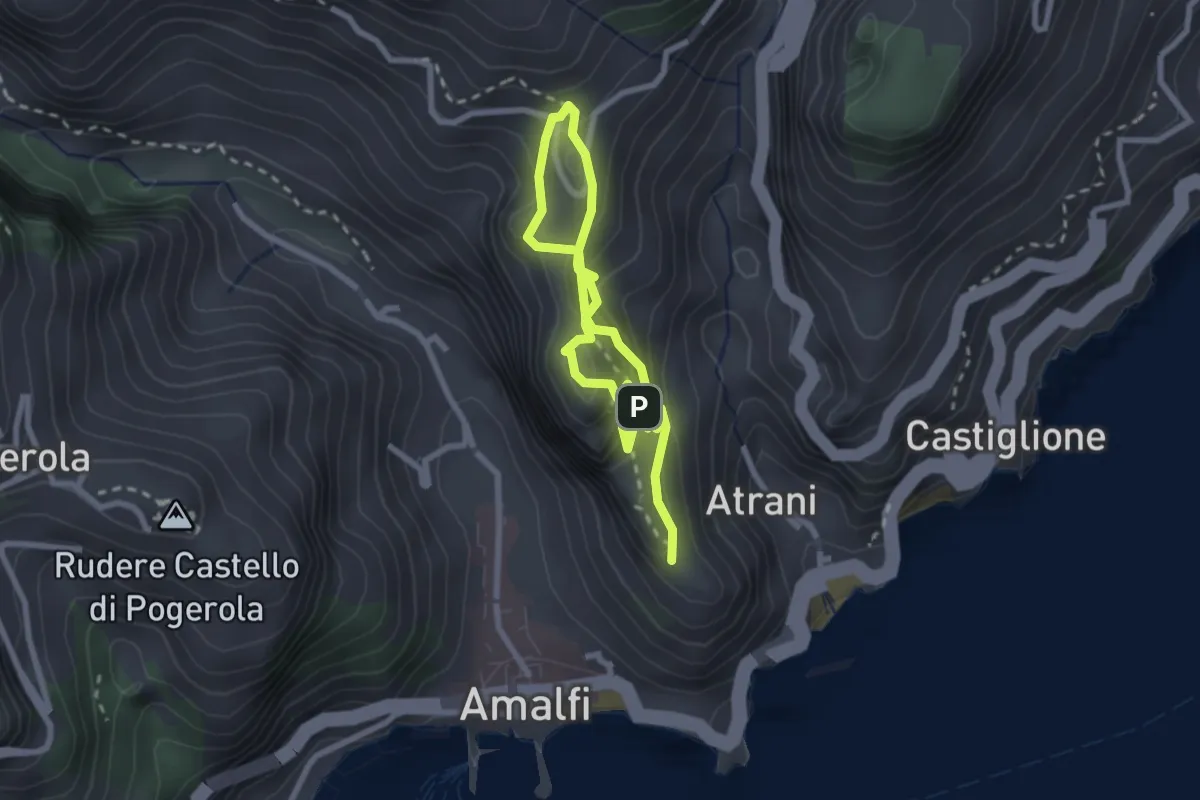
Easy · Trail
La Torre dello Ziro
2.0 km · ↑ 143 m · 50 min · 14 km away
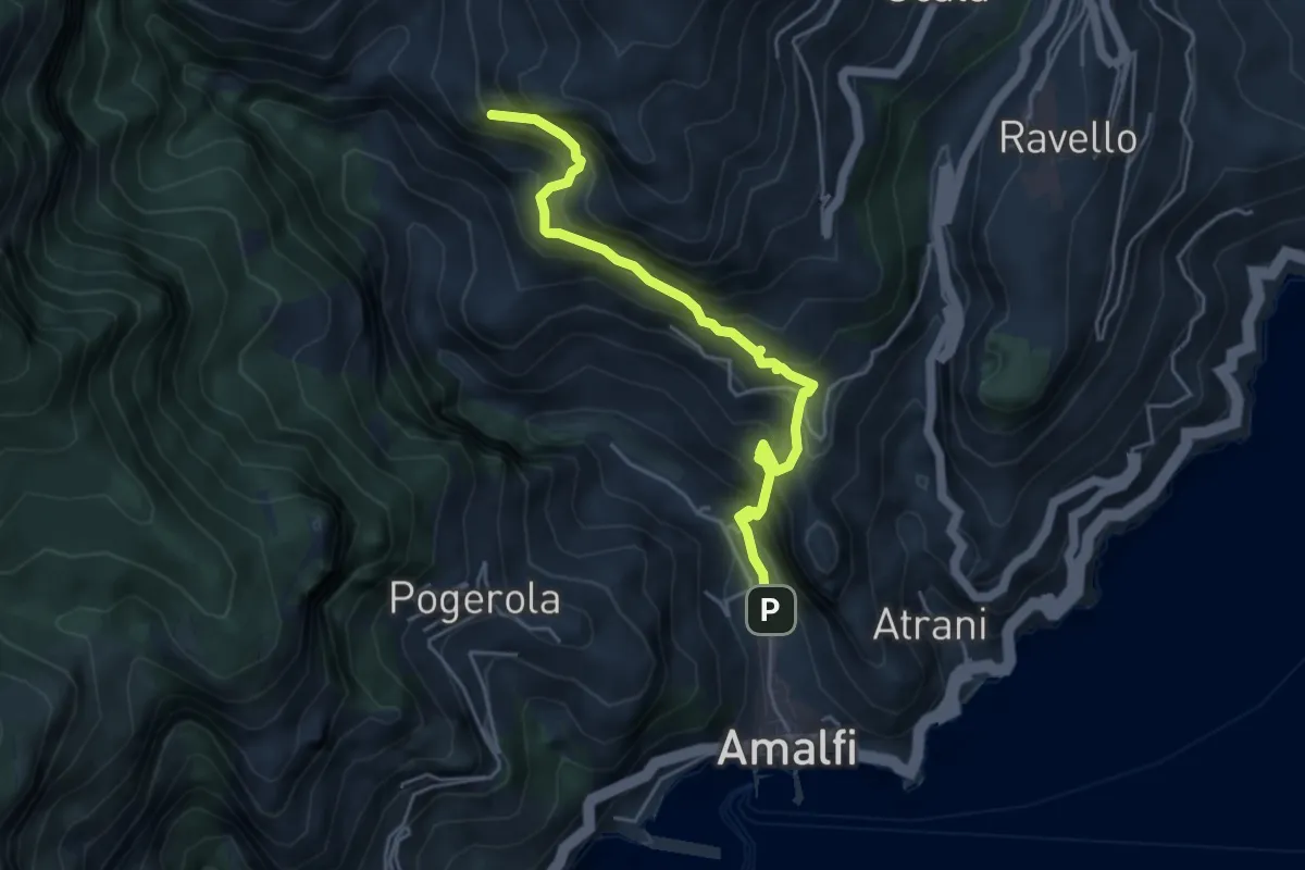
Medium · Trail
Amalfi – Punta D'Aglio
5.2 km · ↑ 623 m · 2 h 35 min · 14 km away
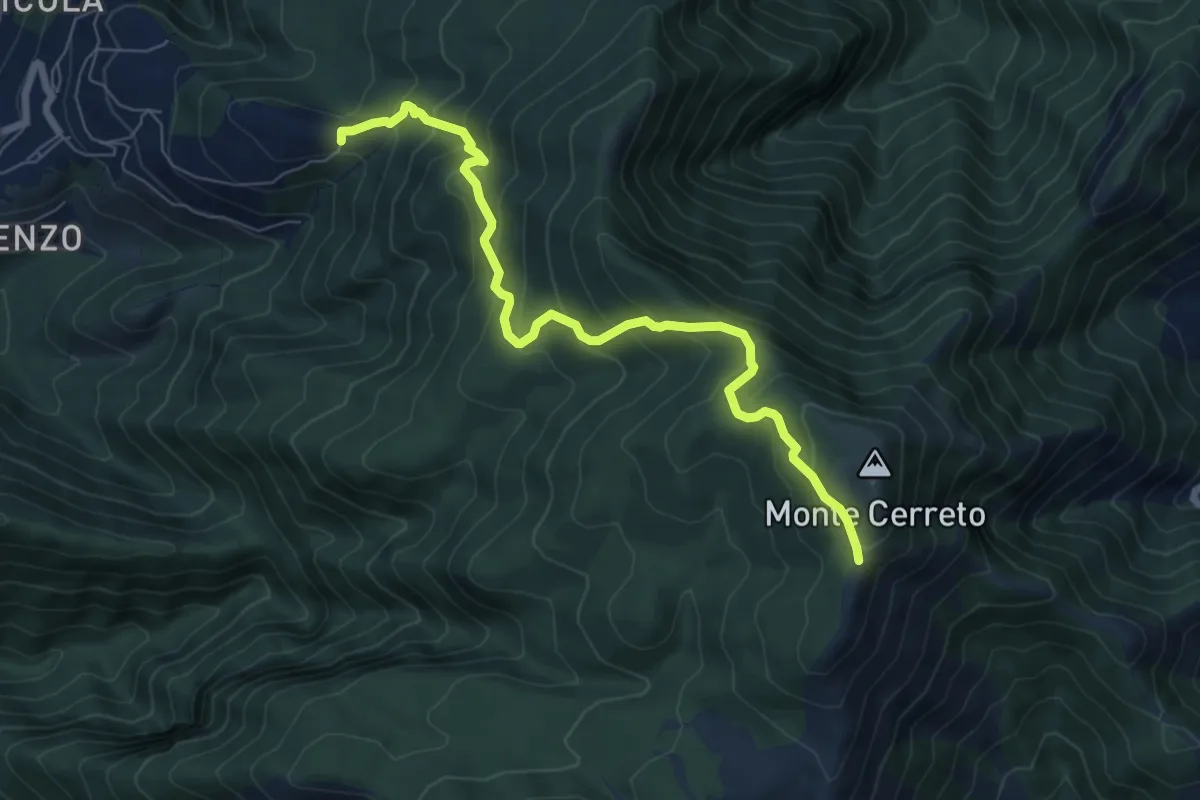
Medium · Trail
Incrocio 330 – Incrocio 300
8.0 km · ↑ 678 m · 3 h 21 min · 14 km away
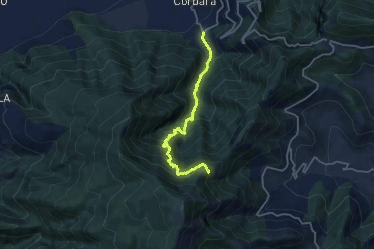
Demanding · Trail
Località Sala (Corbara) – Incrocio 300 (Vena Scalandrone)
8.8 km · ↑ 1089 m · 4 h 26 min · 15 km away
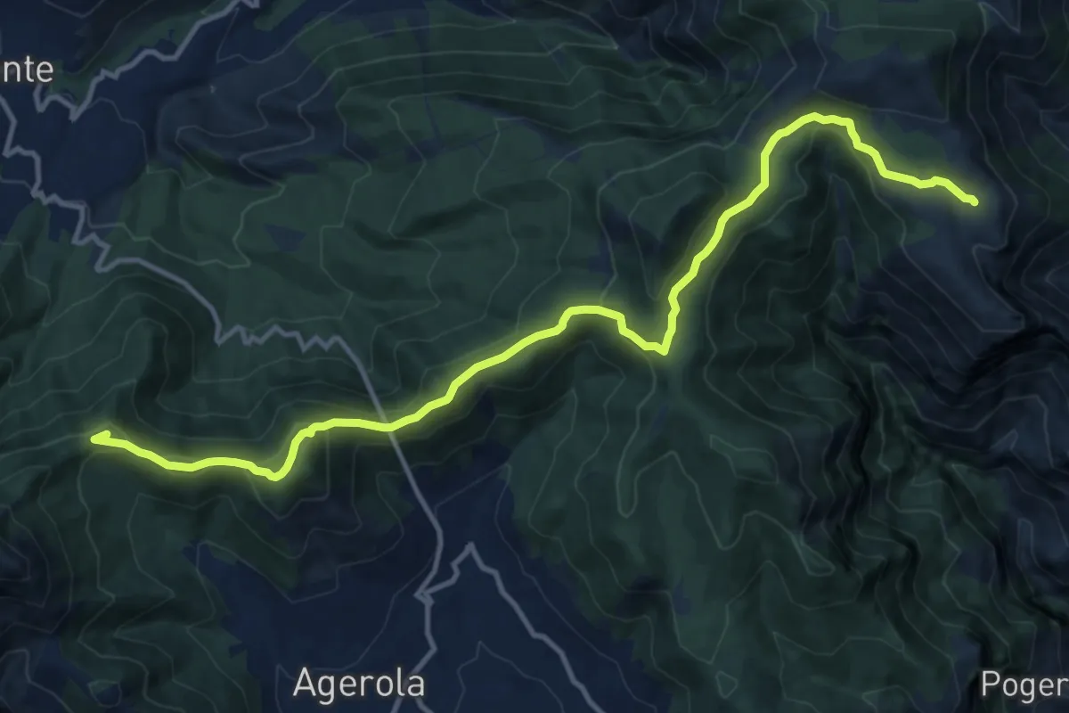
Demanding · Summit
Rifugio Santa Maria dei Monti – Faito
15.5 km · ↑ 690 m · 5 h 9 min · 15 km away
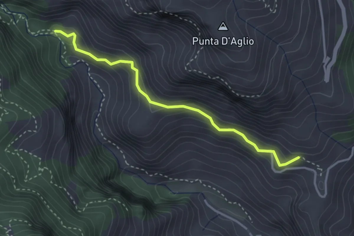
Medium · Trail
Pontone (Scala) – Incrocio 325 (Rudere dela Ferriera)
3.3 km · ↑ 273 m · 1 h 22 min · 15 km away