Trails near Salò
209 hikes starting within 15 km, nearest first.
Nearest first, page 2 of 5
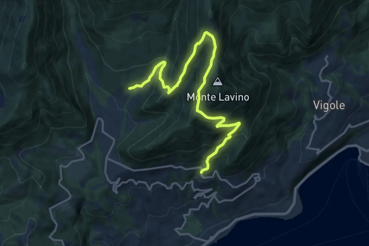
Demanding · Trail
Sentiero del Buelino - Lavino
11.7 km · ↑ 983 m · 4 h 54 min · 5 km away
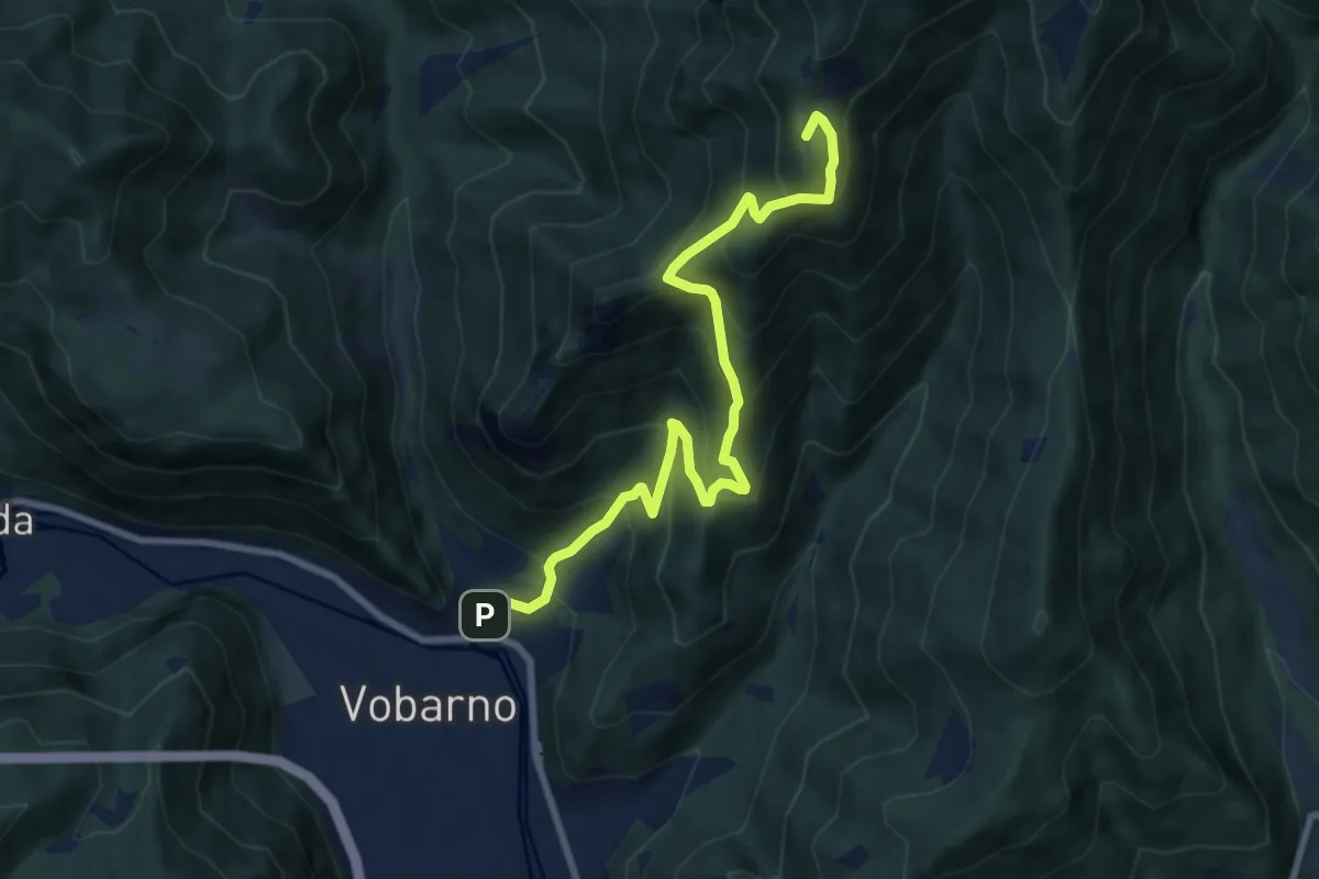
Demanding · Summit
Sentiero di Gardoncello e Spino
9.1 km · ↑ 889 m · 4 h 5 min · 5 km away
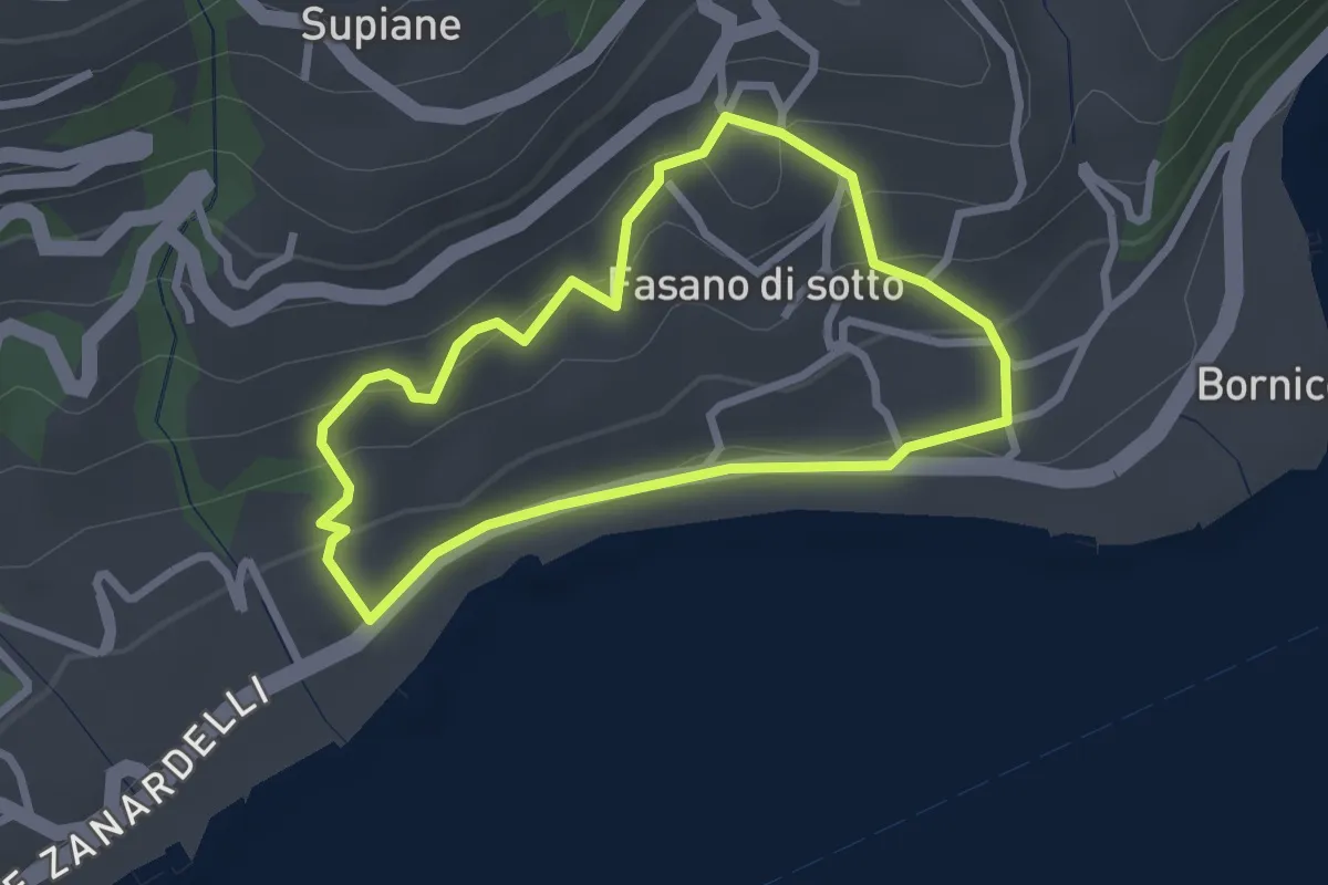
Easy · Trail
Percorso Cobalto Gardone Riviera
2.4 km · ↑ 129 m · 53 min · 5 km away
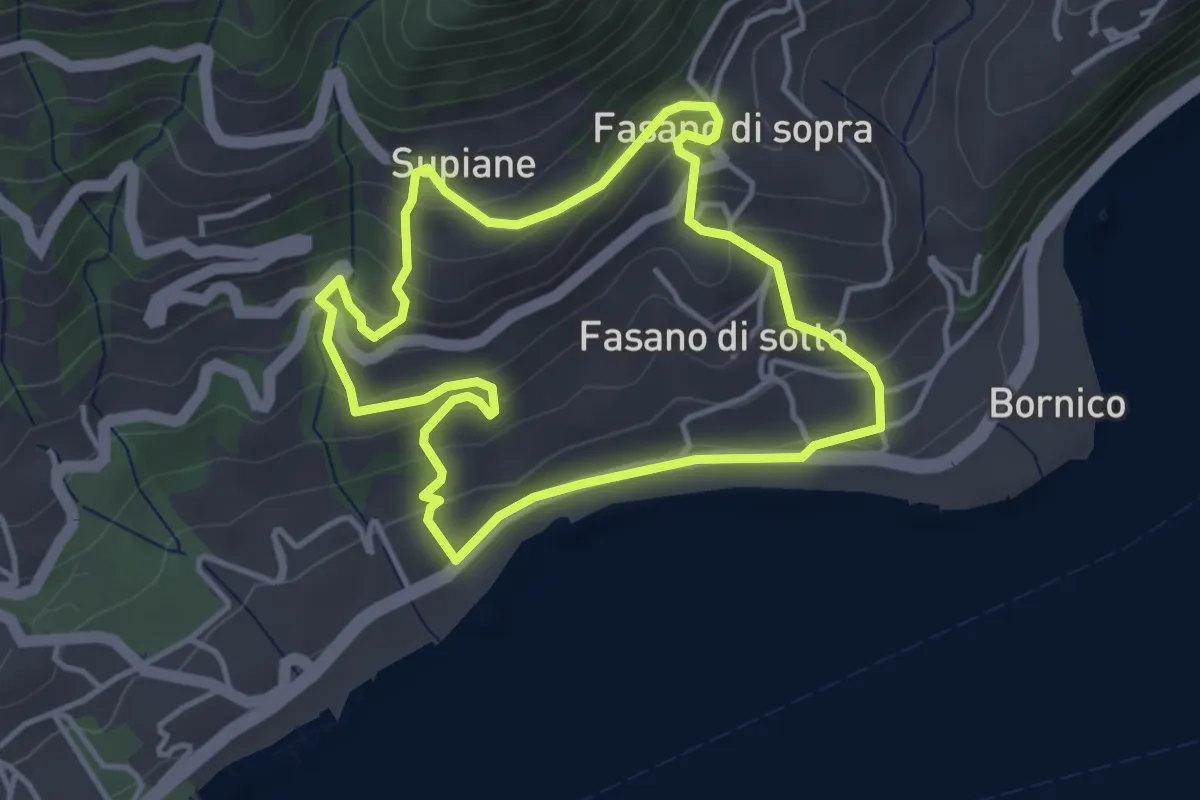
Easy · Trail
Percorso Rosso Gardone Riviera
3.8 km · ↑ 246 m · 1 h 28 min · 5 km away
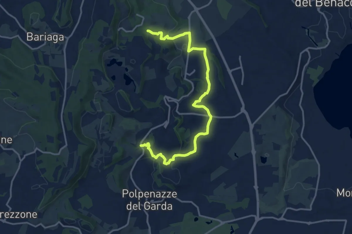
Medium · Trail
6 - Percorsi delle Colline Moreniche di Puegnago
12.6 km · ↑ 267 m · 3 h 34 min · 5 km away
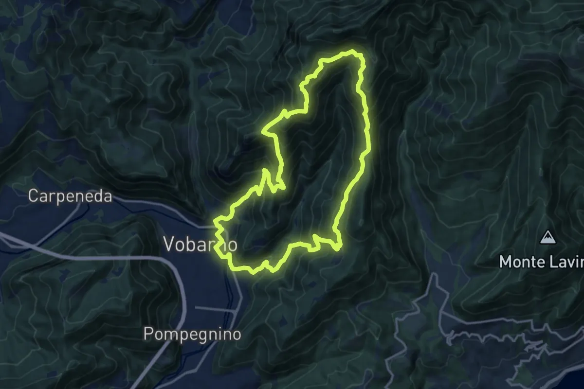
Demanding · Summit
Sentiero Cristoforo Campanardi
13.0 km · ↑ 992 m · 5 h 25 min · 5 km away
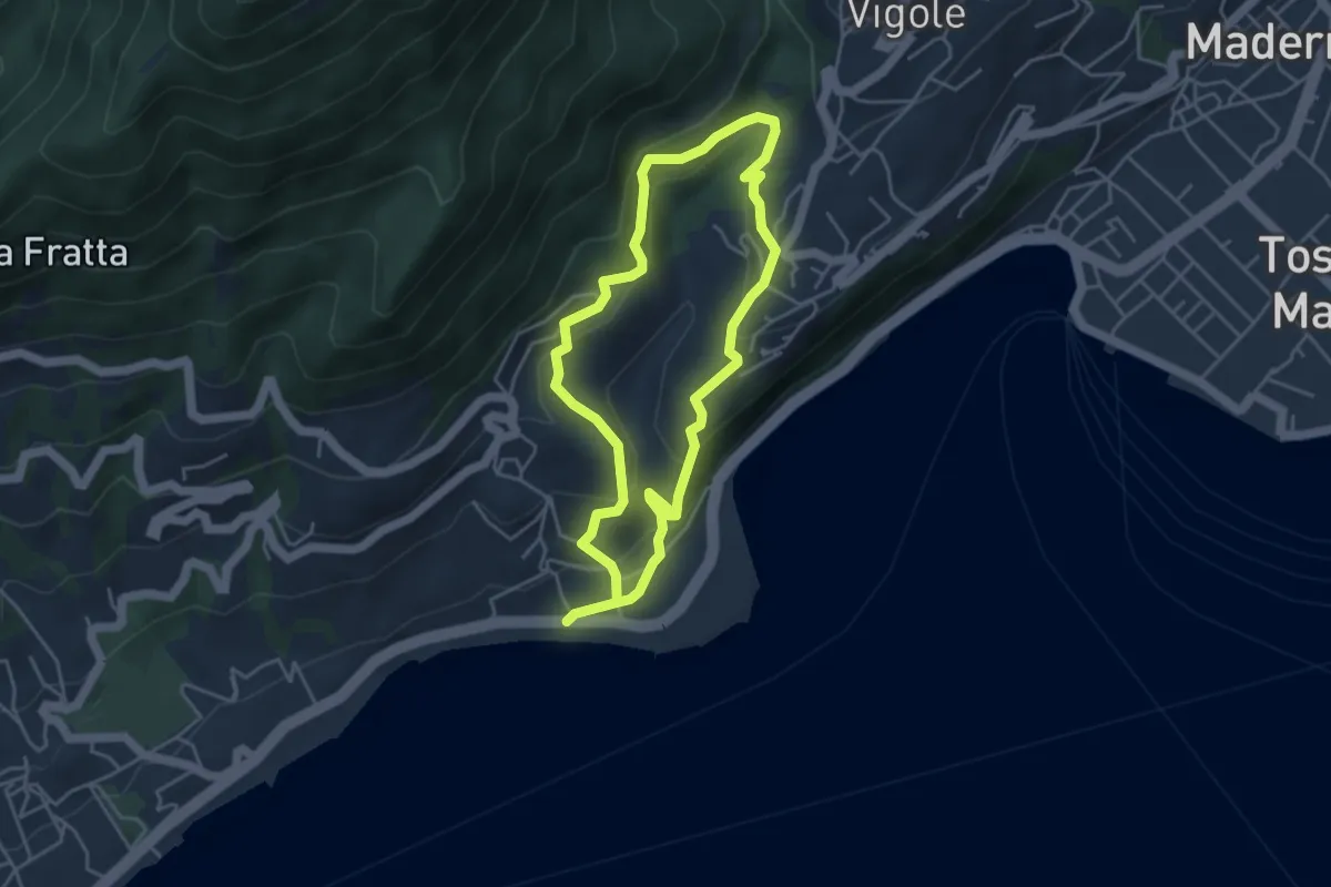
Easy · Trail
Percorso Marrone Gardone Riviera
3.9 km · ↑ 227 m · 1 h 28 min · 5 km away
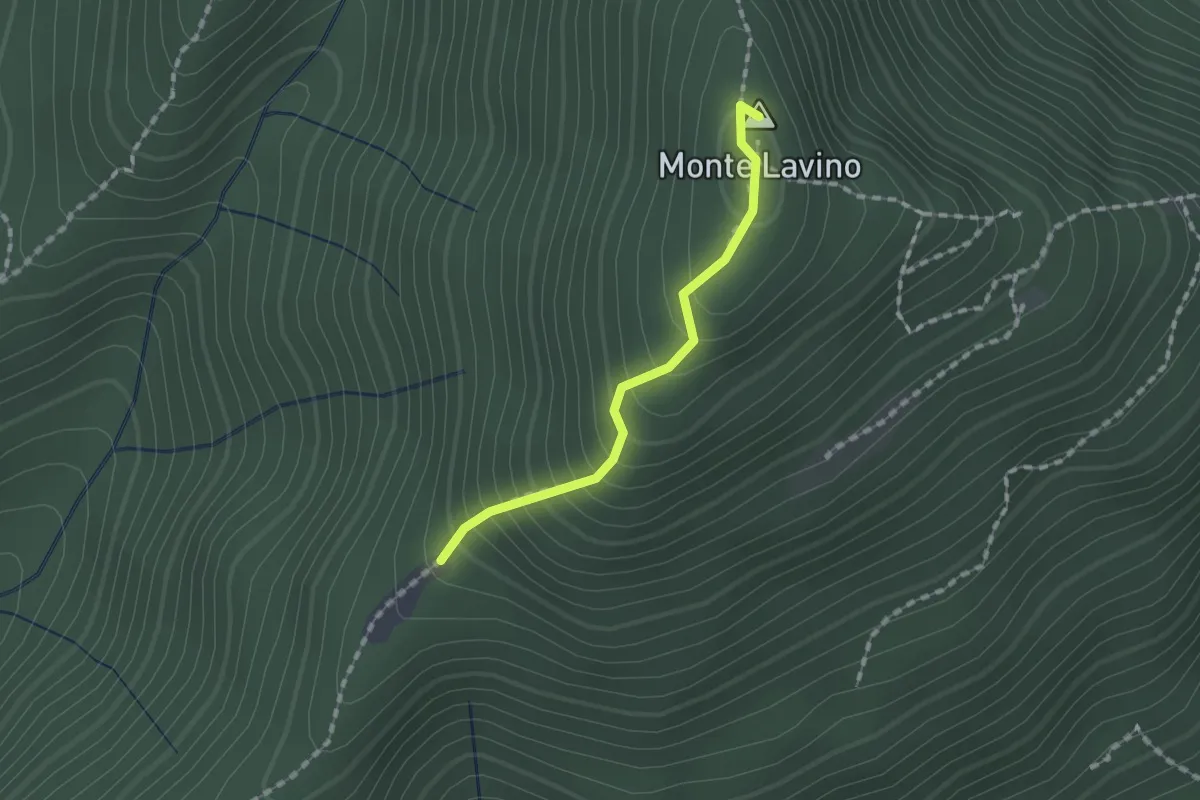
Medium · Summit
Sentiero di Monte Lavino
1.3 km · ↑ 142 m · 37 min · 5 km away
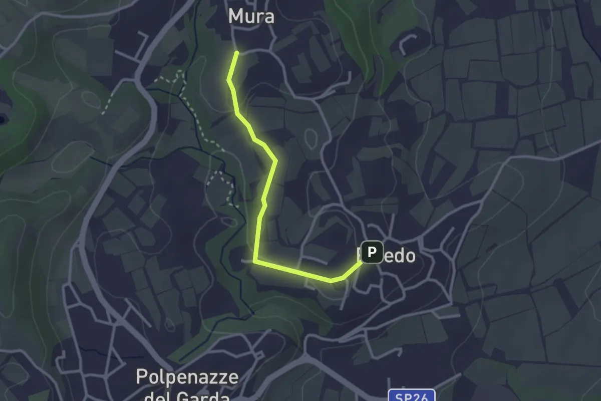
Easy · Trail
7 - Percorsi delle Colline Moreniche di Puegnago
2.7 km · ↑ 38 m · 43 min · 6 km away
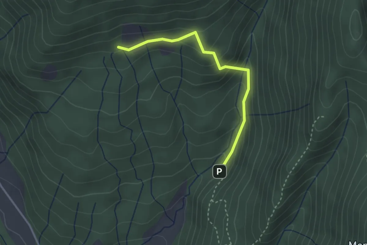
Easy · Trail
Valle del Poiano
2.8 km · ↑ 210 m · 1 h 7 min · 6 km away
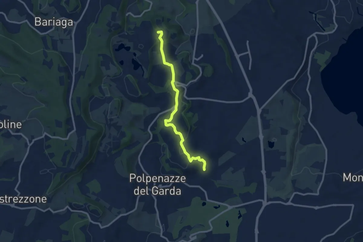
Easy · Summit
4 - Percorsi delle Colline Moreniche di Puegnago
7.9 km · ↑ 166 m · 2 h 14 min · 6 km away
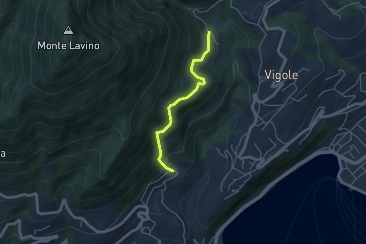
Medium · Trail
Bezzuglio - Pezzuglio
3.1 km · ↑ 345 m · 1 h 29 min · 6 km away
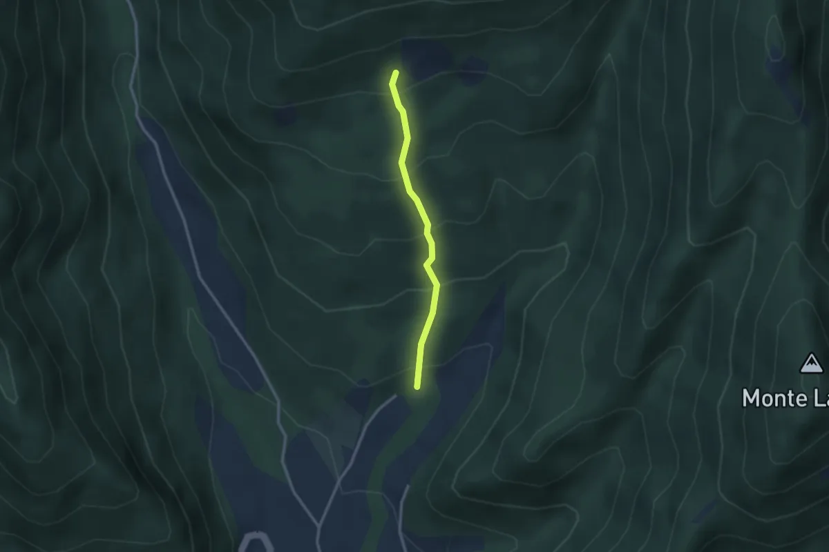
Easy · Trail
Gardone in Bike
2.2 km · ↑ 230 m · 1 h 1 min · 6 km away
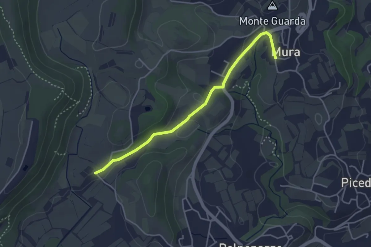
Easy · Trail
8 - Percorsi delle Colline Moreniche di Puegnago
3.5 km · ↑ 41 m · 55 min · 6 km away
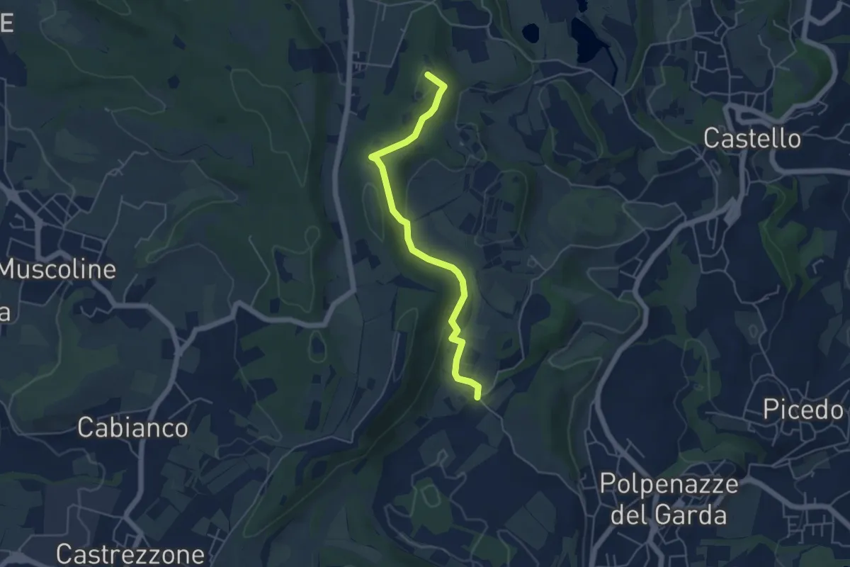
Easy · Summit
1 - Percorsi delle Colline Moreniche di Puegnago
4.8 km · ↑ 137 m · 1 h 26 min · 6 km away
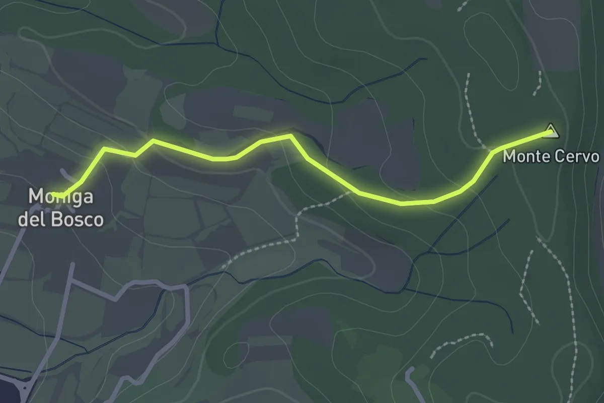
Easy · Summit
Percorso Rosso Muscoline
2.4 km · ↑ 81 m · 45 min · 6 km away
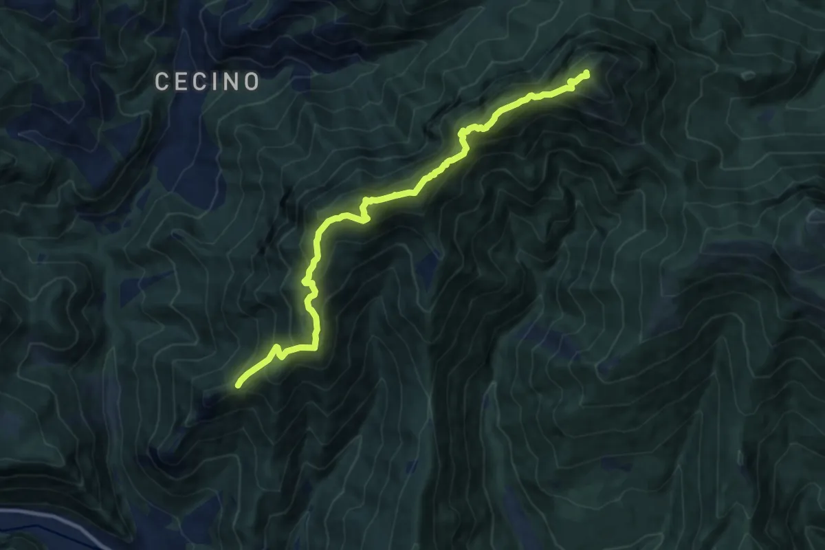
Expert · Summit
Sentiero del Forametto e Marmere
11.0 km · ↑ 1118 m · 5 h 1 min · 6 km away
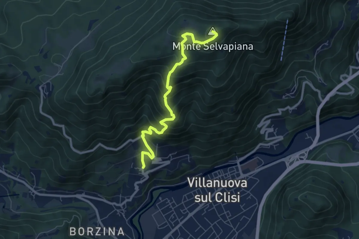
Medium · Summit
Gavardo (Quarena) – Selvapiana
6.7 km · ↑ 634 m · 2 h 58 min · 6 km away
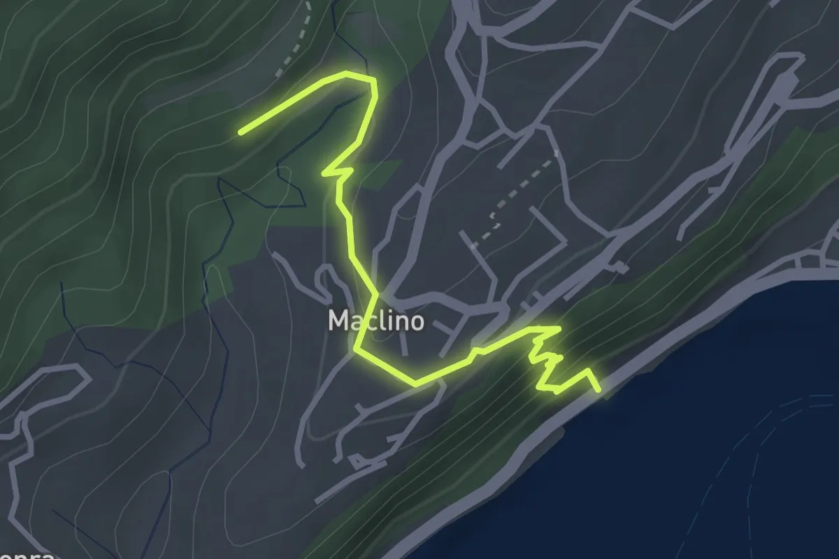
Medium · Trail
Sentiero dei Proch
3.1 km · ↑ 184 m · 1 h 8 min · 6 km away
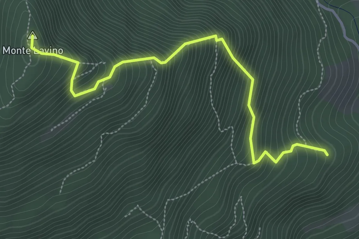
Medium · Summit
Sentiero del Lavino - Percorso 26 Toscolano Maderno
3.6 km · ↑ 538 m · 2 h 1 min · 6 km away
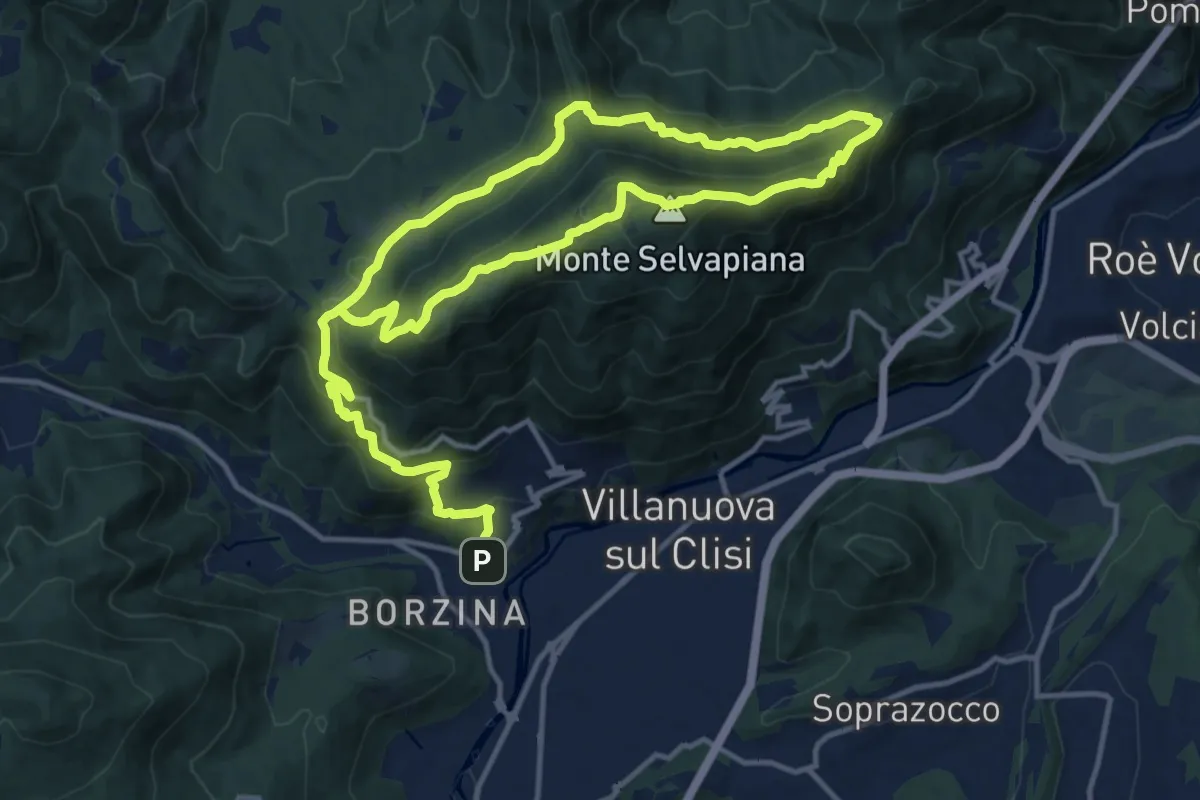
Demanding · Summit
Gavardo (Sopraponte) – Sopraponte
11.8 km · ↑ 965 m · 4 h 51 min · 6 km away
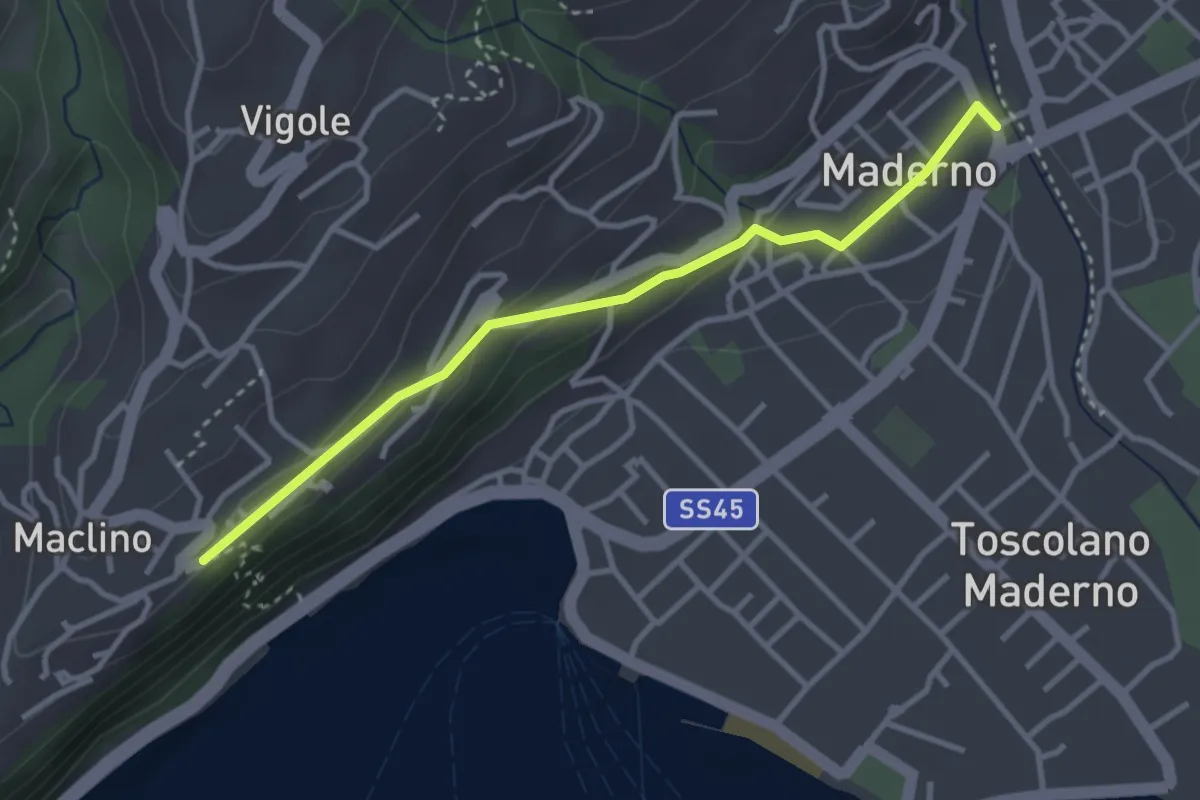
Easy · Trail
Ponte Vecchio - Montemaderno
3.3 km · ↑ 111 m · 1 h 1 min · 6 km away
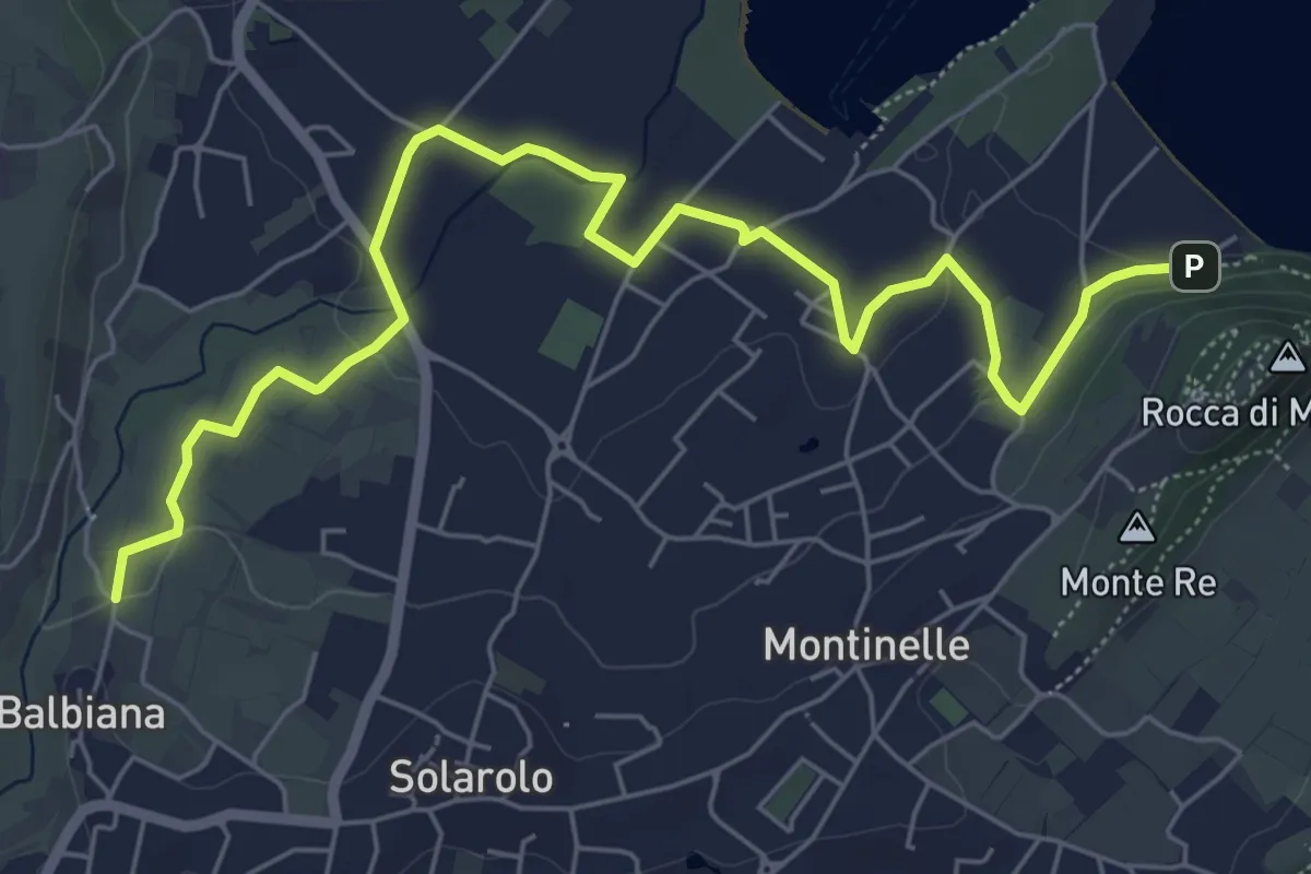
Easy · Trail
Manerba del Garda (Balbiana) – Parcheggio spiaggia di Pisenze
7.6 km · ↑ 65 m · 1 h 57 min · 6 km away
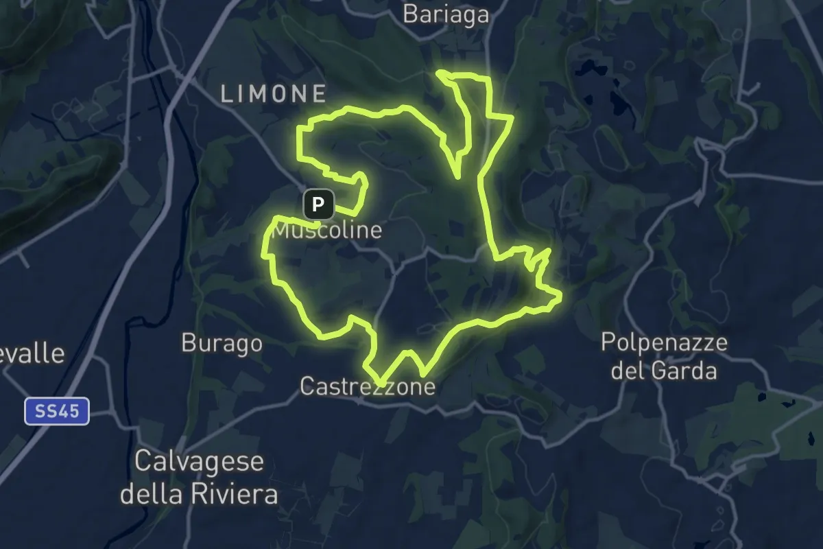
Medium · Summit
Percorso Verde Muscoline
15.1 km · ↑ 297 m · 4 h 24 min · 6 km away
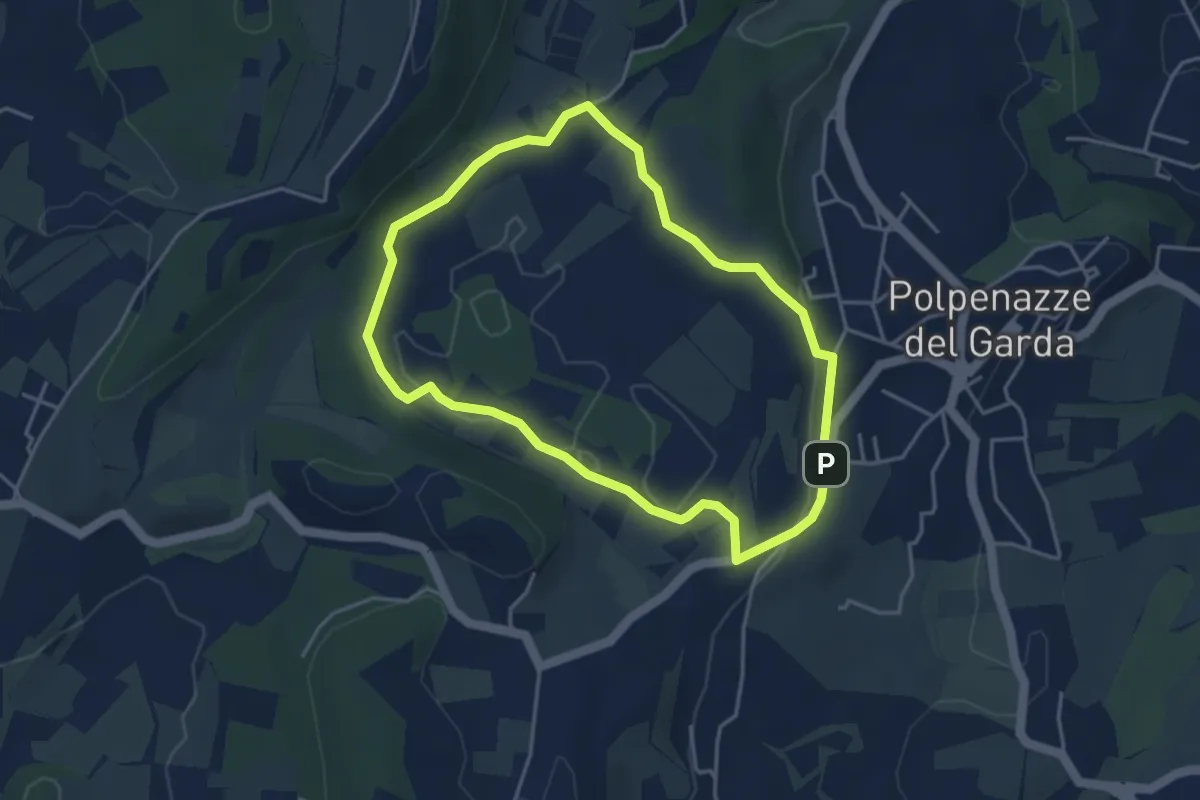
Easy · Trail
Giro del Lago di Lucone
3.9 km · ↑ 42 m · 1 h 3 min · 7 km away
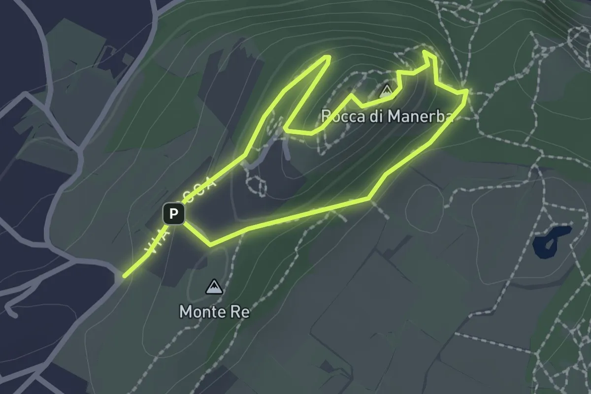
Expert · Summit
Sentiero 4 - Rocca di Manerba del Garda
1.8 km · ↑ 79 m · 37 min · 7 km away
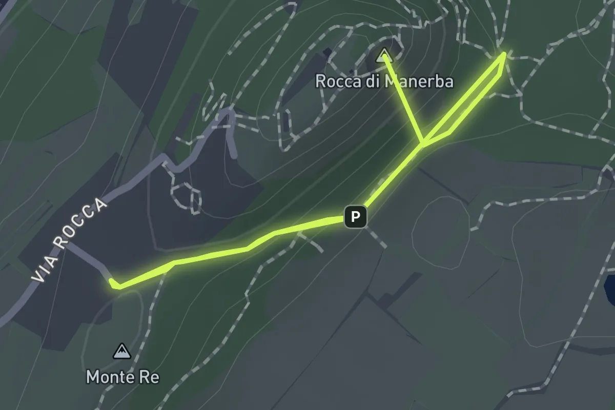
Easy · Summit
Sentiero 3 - Rocca di Manerba del Garda
2.2 km · ↑ 69 m · 40 min · 7 km away
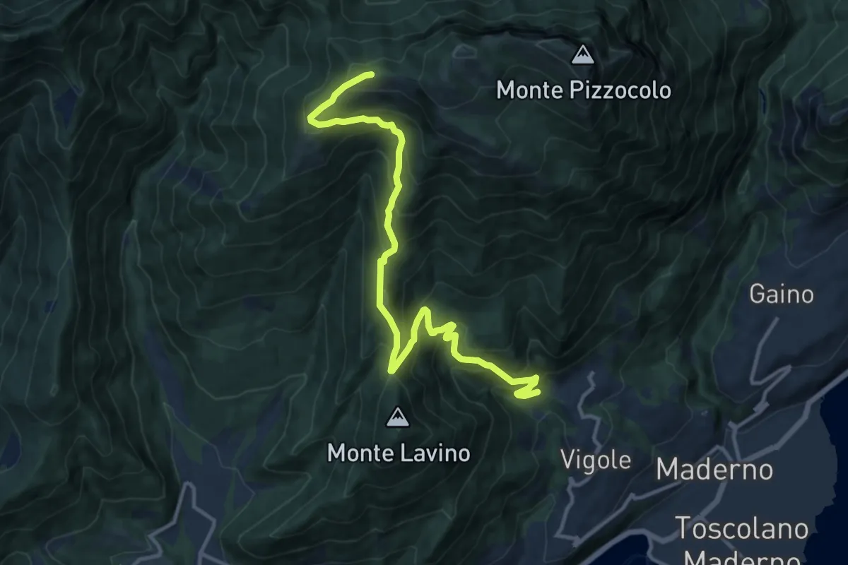
Demanding · Trail
Dos delle Prade - Magnico
12.9 km · ↑ 1066 m · 5 h 22 min · 7 km away
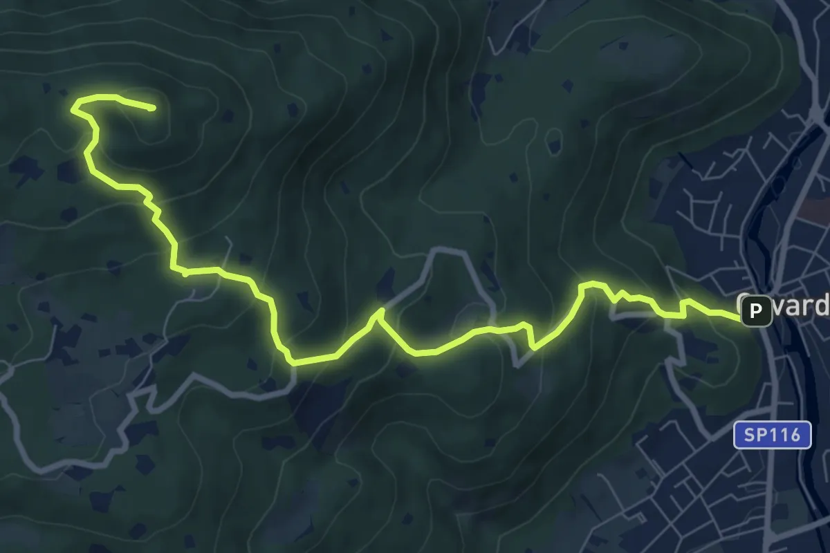
Medium · Summit
Gavardo – Tesio
9.4 km · ↑ 655 m · 3 h 38 min · 7 km away
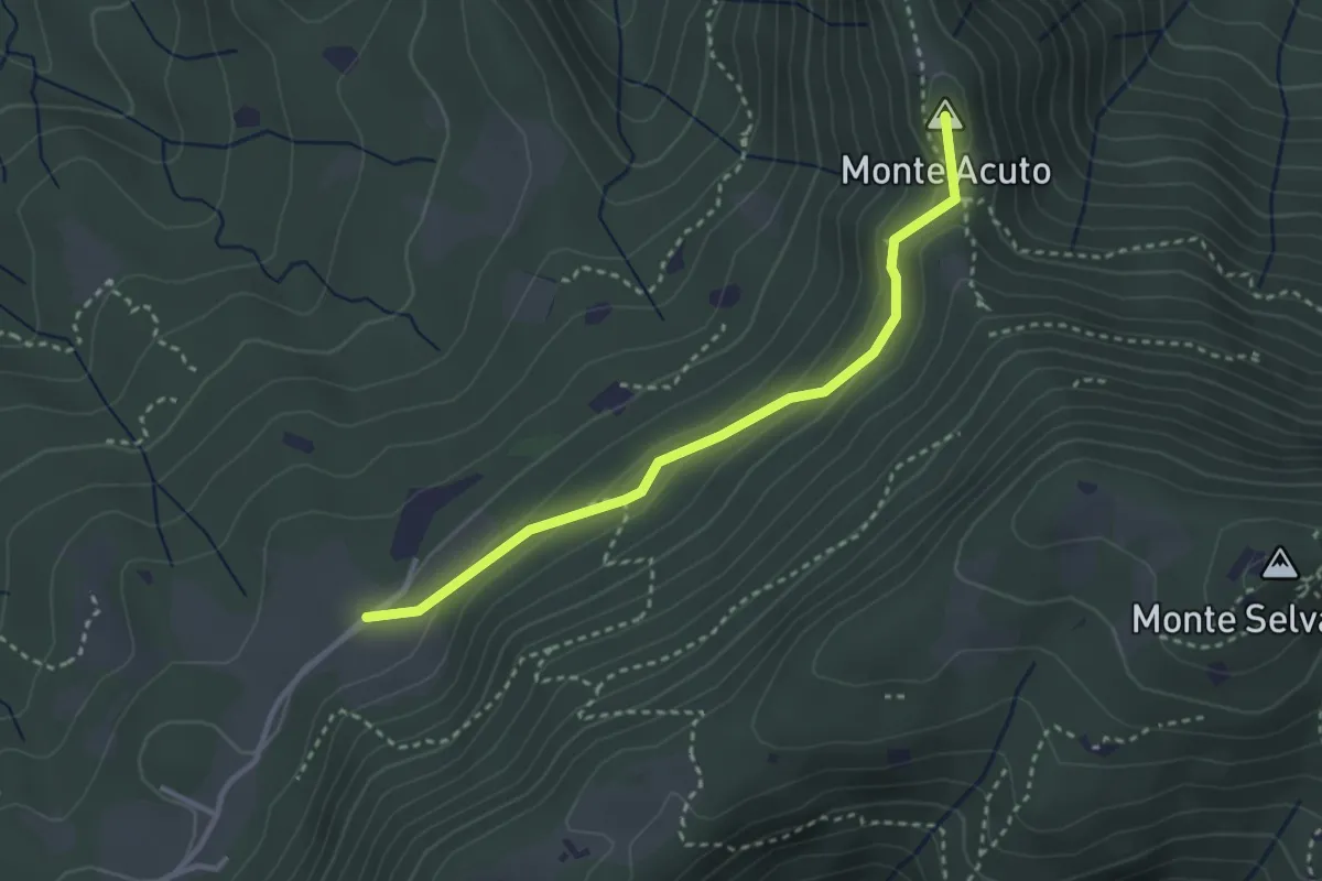
Medium · Summit
Sabbio Chiese (Monte Acuto - Innesto Sentiero 495) - Monte Magno
3.1 km · ↑ 162 m · 1 h 4 min · 7 km away
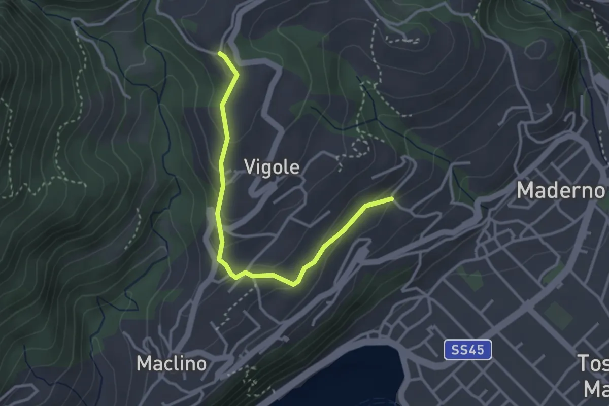
Easy · Trail
Oriolo - Rosei
3.2 km · ↑ 159 m · 1 h 5 min · 7 km away
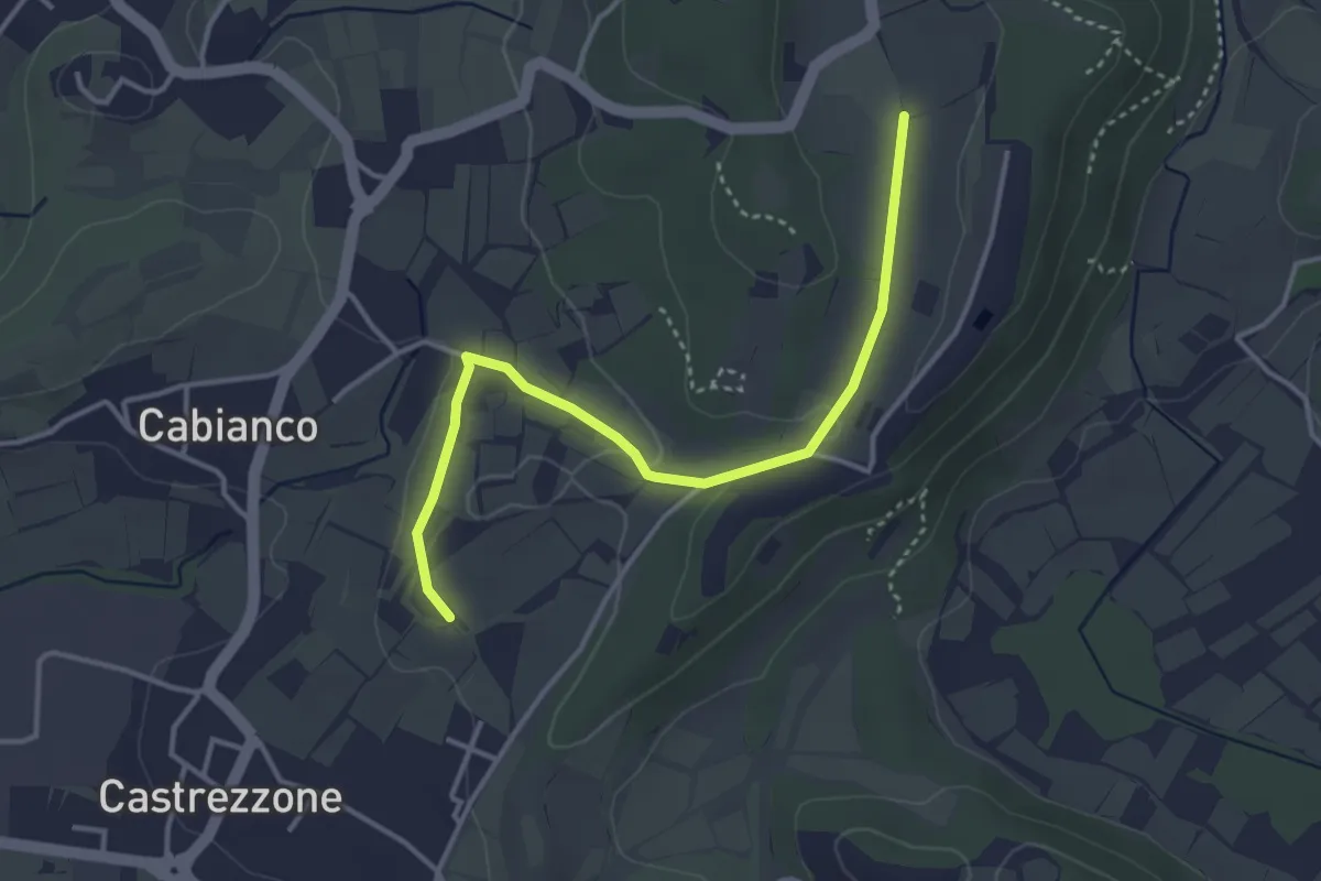
Easy · Trail
Percorso Muscoline Blu2
3.8 km · ↑ 58 m · 1 h 2 min · 7 km away
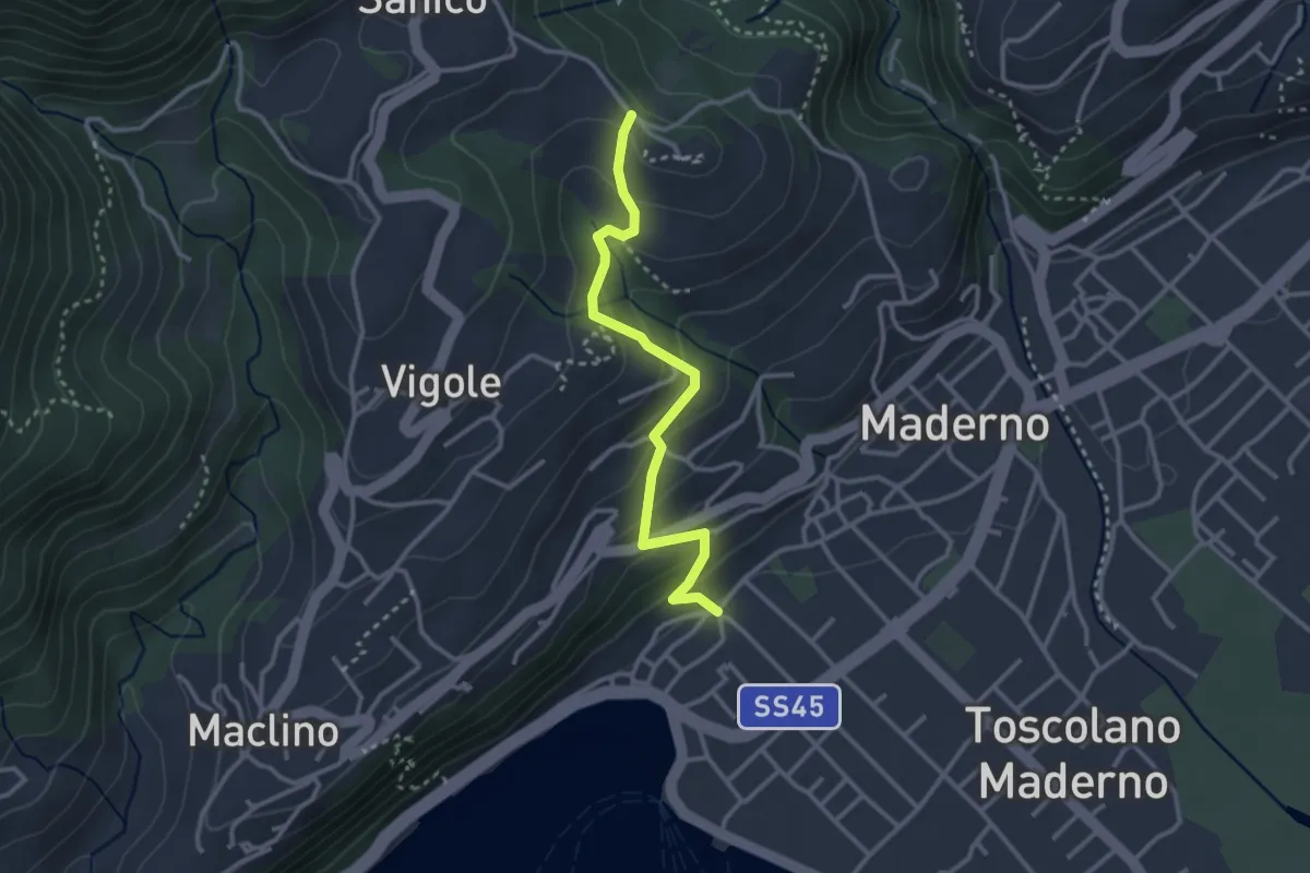
Easy · Trail
Sentiero di San Martino
3.0 km · ↑ 202 m · 1 h 9 min · 7 km away
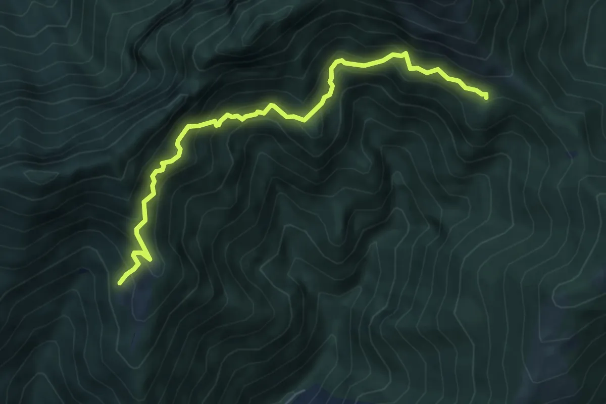
Demanding · Cabin
Sentiero delle Marmere
6.3 km · ↑ 712 m · 3 h 2 min · 7 km away
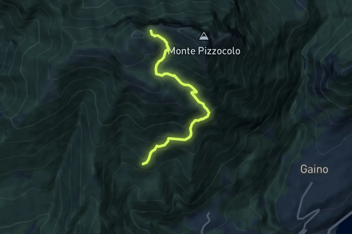
Medium · Trail
Sentiero di Malga Valle
7.5 km · ↑ 716 m · 3 h 19 min · 7 km away
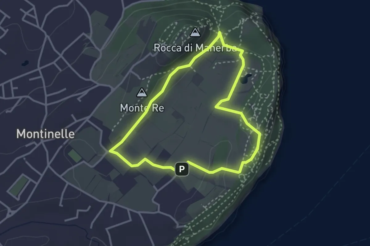
Easy · Summit
Sentiero 5 - Rocca di Manerba del Garda
2.9 km · ↑ 50 m · 50 min · 7 km away
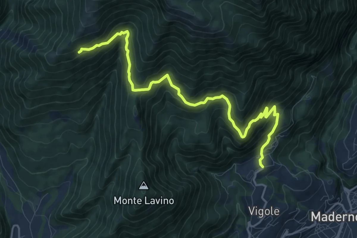
Demanding · Trail
Pirelo - Sanico
12.2 km · ↑ 847 m · 4 h 43 min · 7 km away
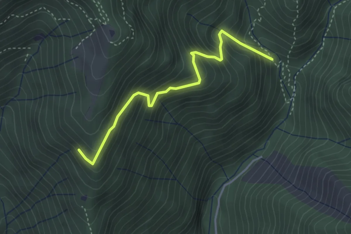
Medium · Trail
Mulattiera variante Senter Lonc
3.4 km · ↑ 399 m · 1 h 41 min · 7 km away
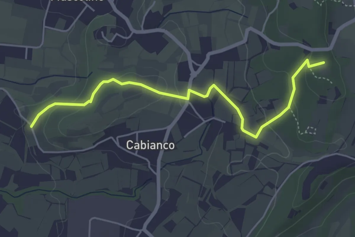
Easy · Summit
Percorso Muscoline Blu1
4.8 km · ↑ 103 m · 1 h 22 min · 7 km away
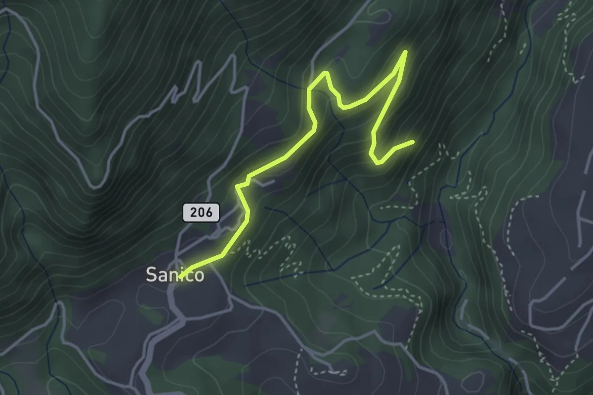
Easy · Trail
Sentiero della Maina
3.8 km · ↑ 244 m · 1 h 26 min · 7 km away
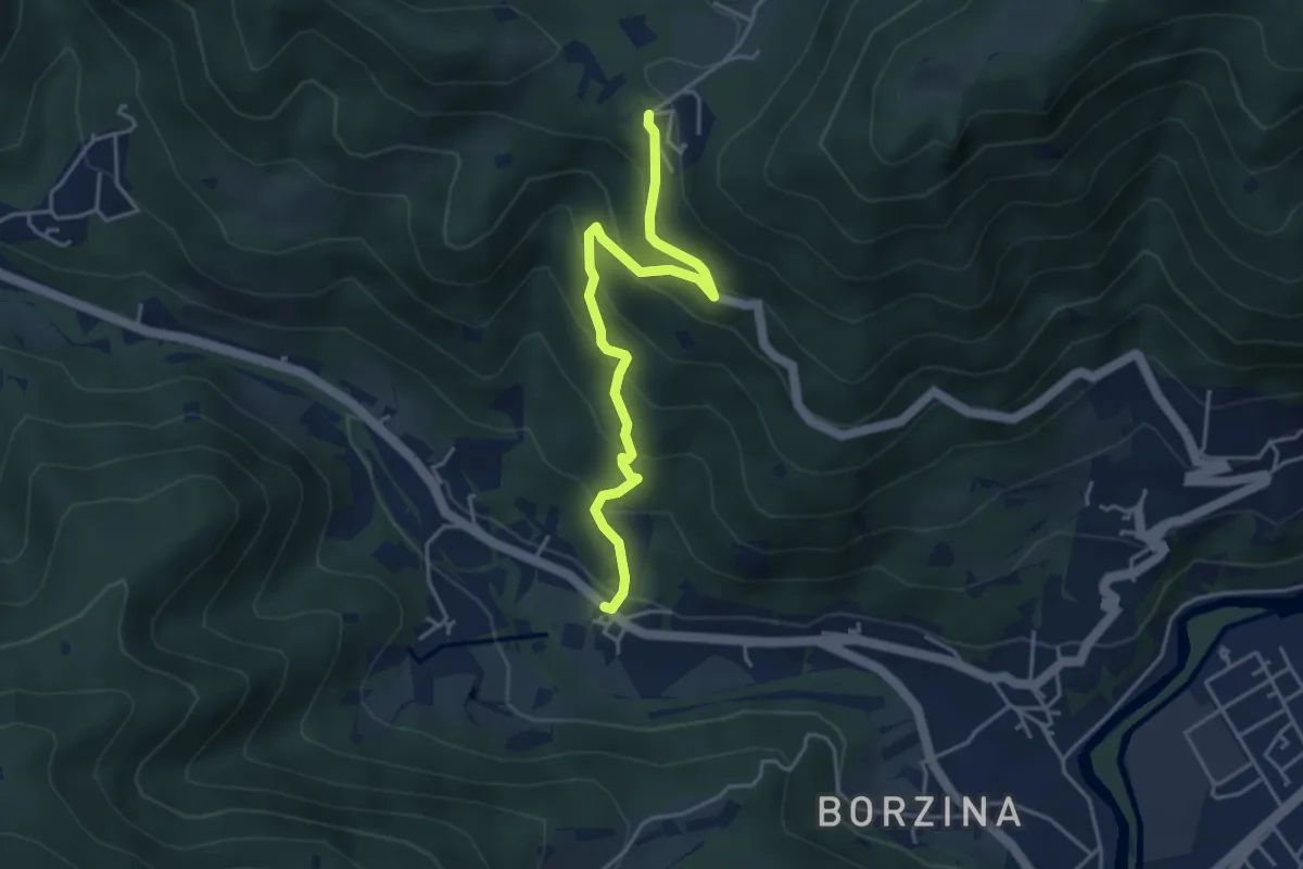
Medium · Trail
Gavardo (Soseto) – Osteria Monte Magno
4.4 km · ↑ 380 m · 1 h 51 min · 7 km away
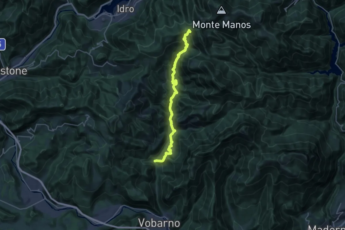
Demanding · Trail
Sentiero dei Lanzichenecchi
18.6 km · ↑ 1408 m · 7 h 27 min · 7 km away
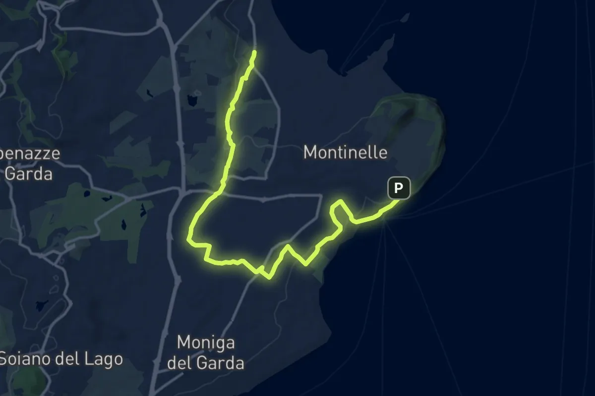
Medium · Trail
Pieve Vecchia – Chiesa di San Giorgio
15.3 km · ↑ 218 m · 4 h 6 min · 8 km away
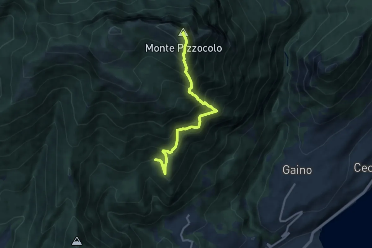
Expert · Summit
Cresta sud-est Pizzocolo
6.9 km · ↑ 972 m · 3 h 45 min · 8 km away
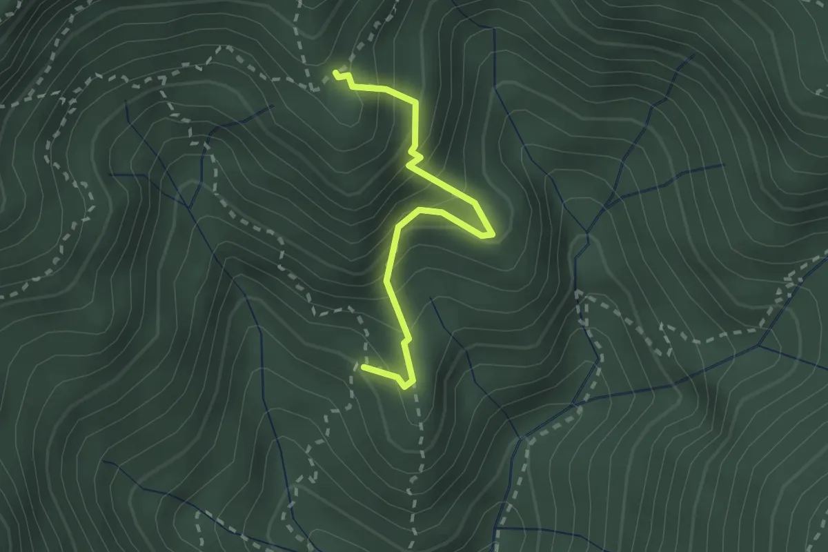
Medium · Trail
Mulattiera dei Carbonai - Est
2.1 km · ↑ 314 m · 1 h 11 min · 8 km away
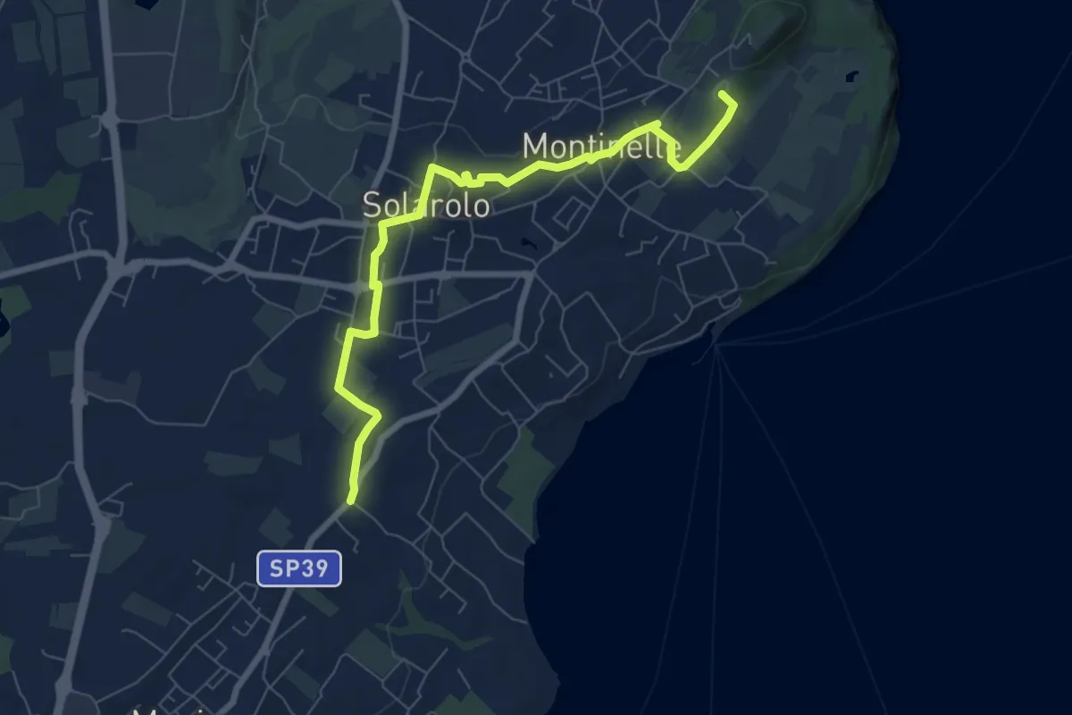
Easy · Summit
Perlino – Museo archeologico
7.7 km · ↑ 99 m · 2 h 1 min · 8 km away
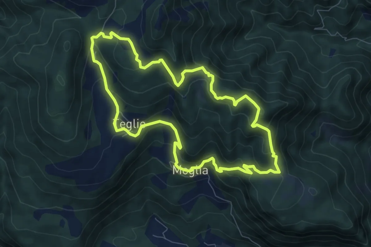
Medium · Summit
Vobarno (Moglia) – Moglia - Vobarno
7.6 km · ↑ 432 m · 2 h 50 min · 8 km away
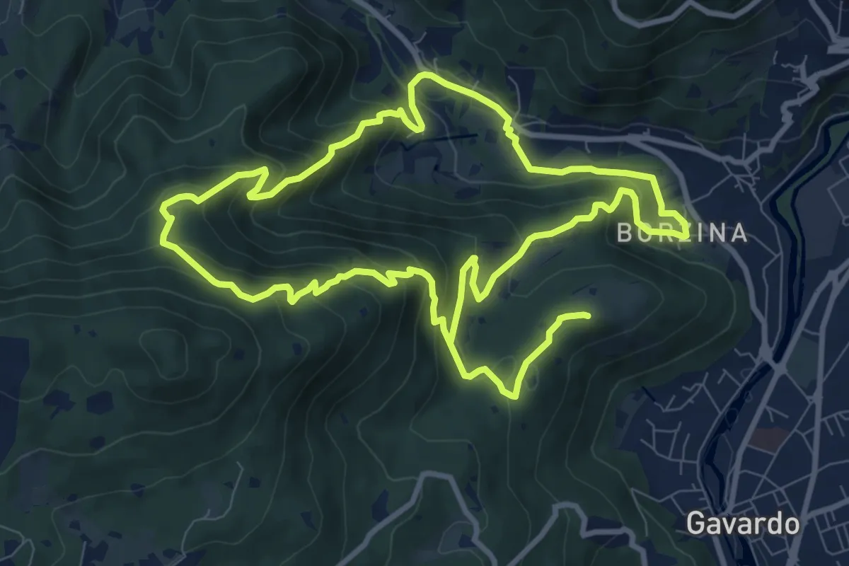
Demanding · Summit
Gavardo (Via Signurì) – Gavardo
18.2 km · ↑ 1056 m · 6 h 35 min · 8 km away