Trails near Salò
209 hikes starting within 15 km, nearest first.
Nearest first, page 3 of 5
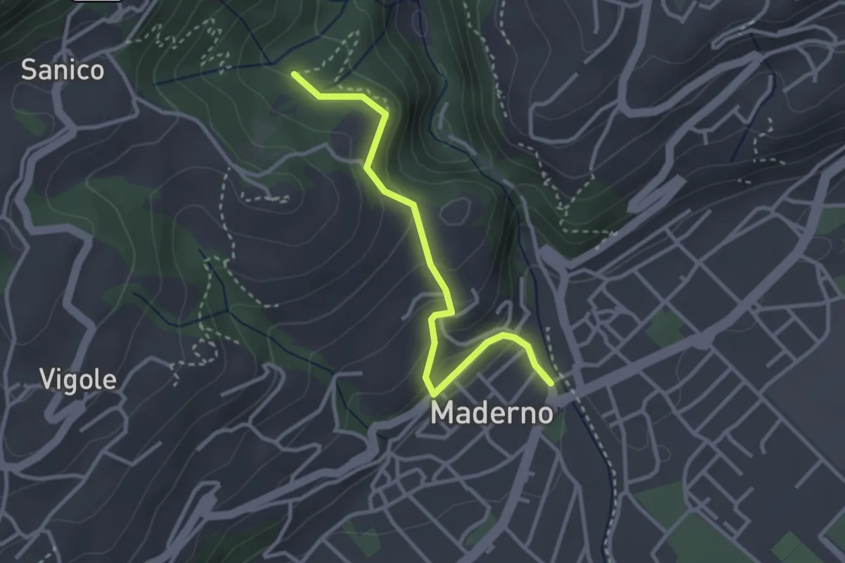
Easy · Trail
Maderno, BVG
3.0 km · ↑ 169 m · 1 h 5 min · 8 km away
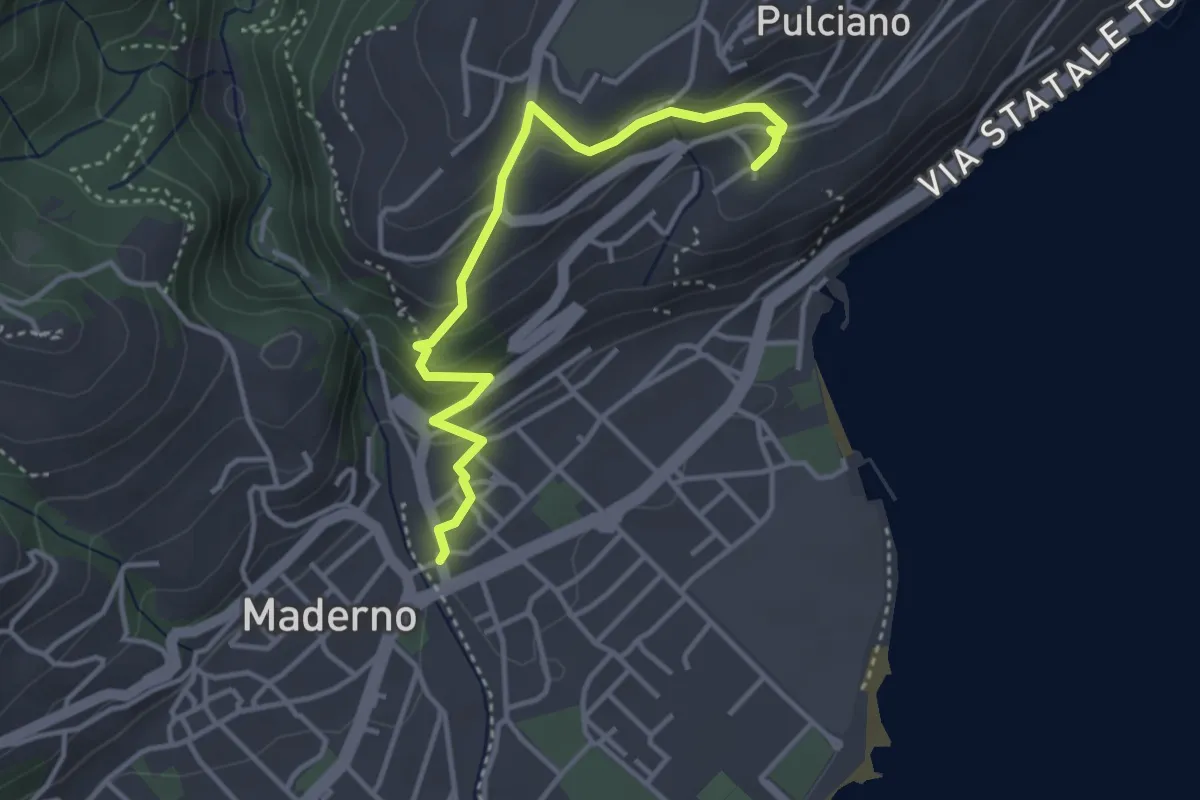
Easy · Trail
Percorso 06 Toscolano Maderno
3.8 km · ↑ 220 m · 1 h 23 min · 8 km away
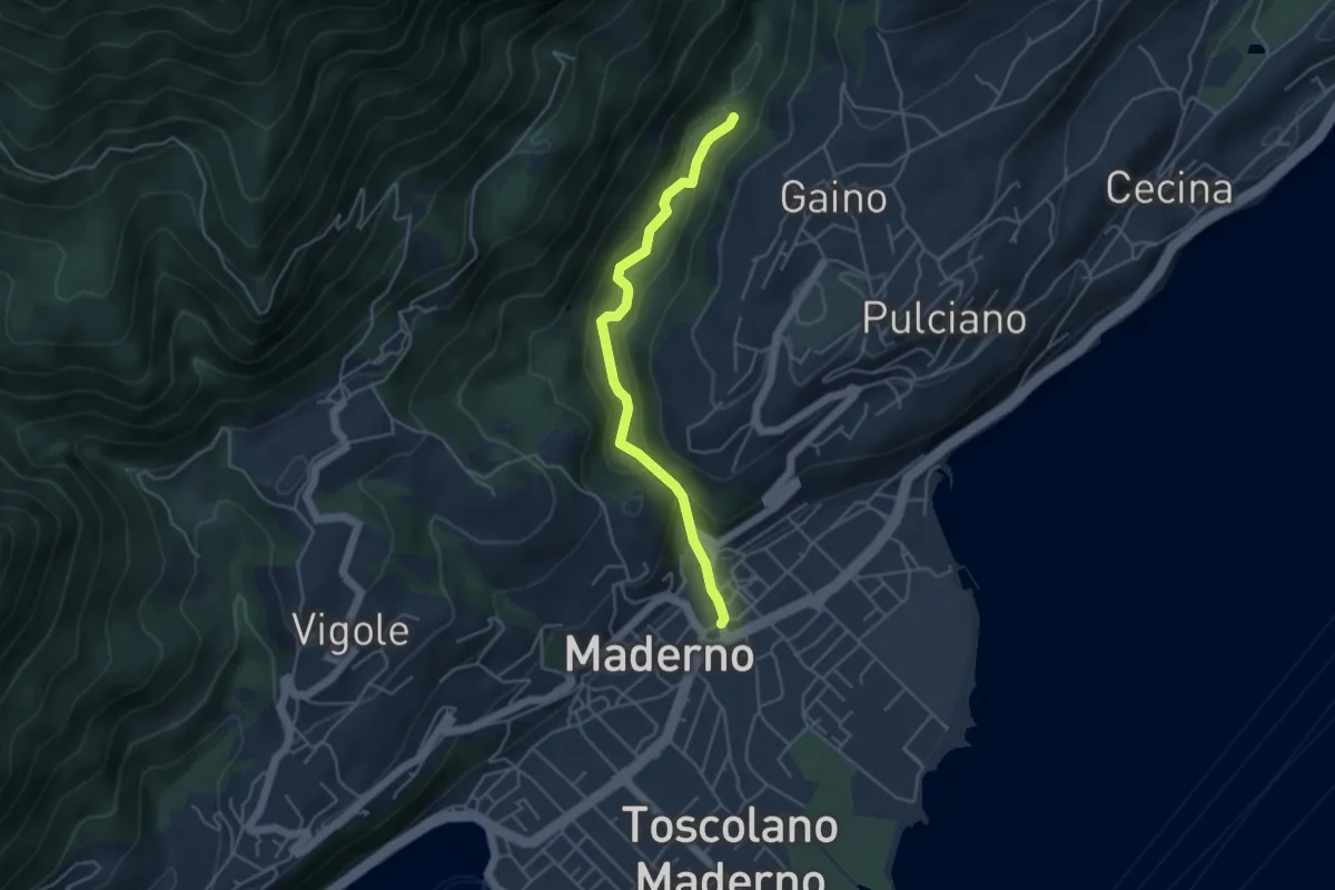
Easy · Trail
Valle delle Cartiere
4.2 km · ↑ 192 m · 1 h 24 min · 8 km away
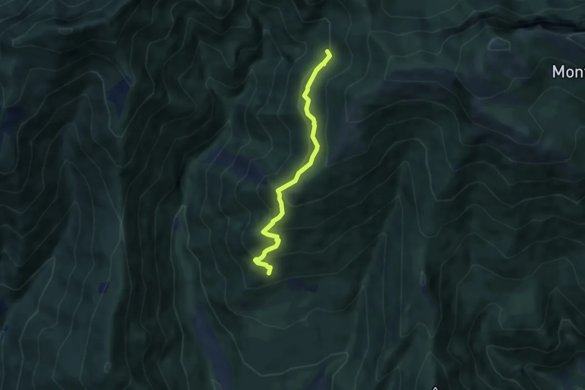
Medium · Trail
Percorso Ossero Ruche
5.5 km · ↑ 462 m · 2 h 18 min · 8 km away
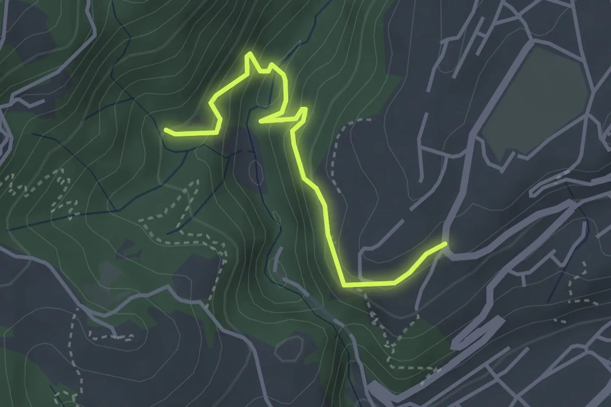
Easy · Trail
BVG, Maina Superiore, Camistero
3.3 km · ↑ 251 m · 1 h 20 min · 8 km away
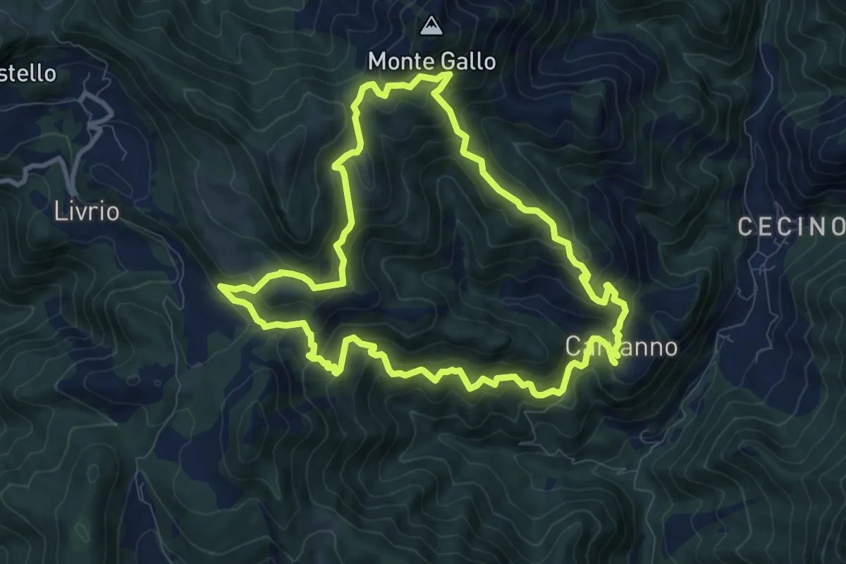
Medium · Summit
Carvanno – Carvanno
9.2 km · ↑ 665 m · 3 h 45 min · 8 km away
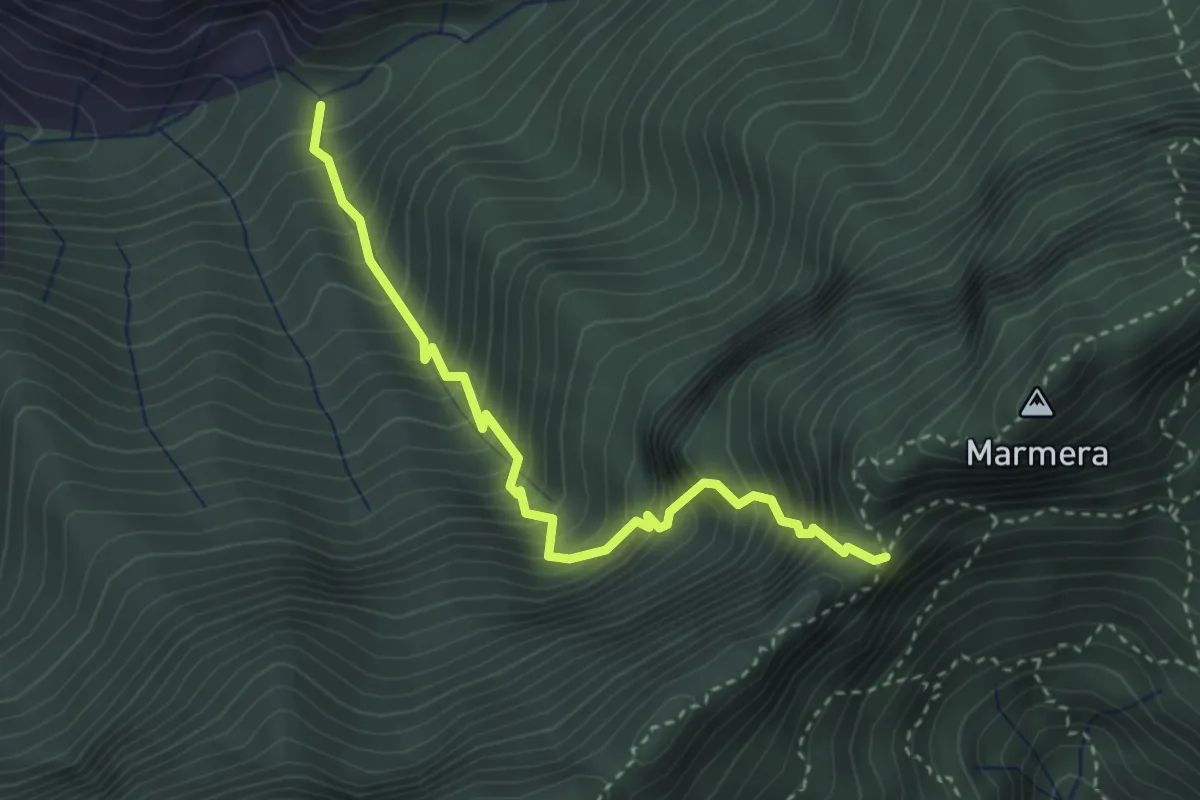
Demanding · Trail
Sentiero del Passo del Buco del Tedesco
3.3 km · ↑ 649 m · 2 h 11 min · 8 km away
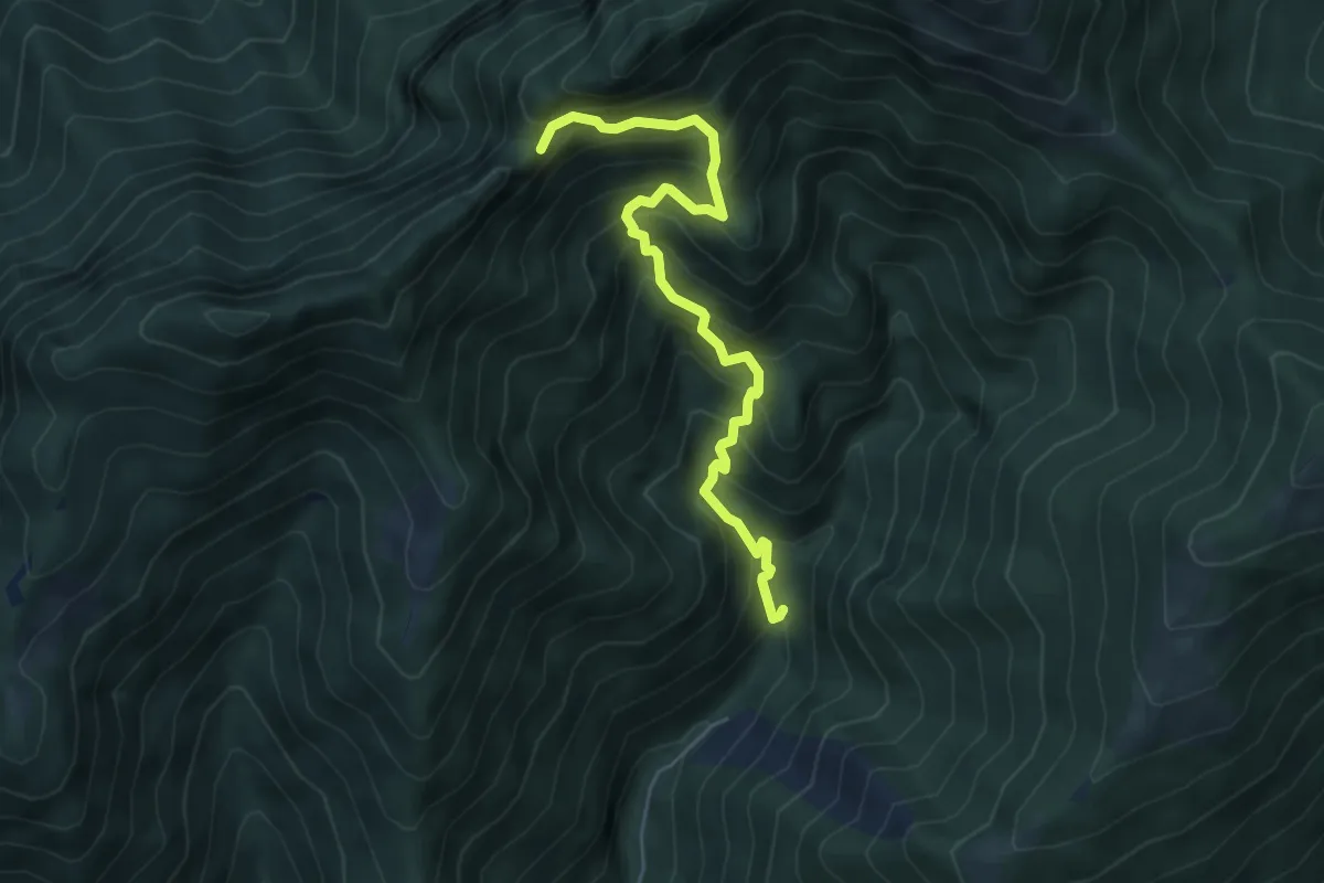
Demanding · Trail
Mulattiera dei Carbonai
5.6 km · ↑ 675 m · 2 h 46 min · 8 km away
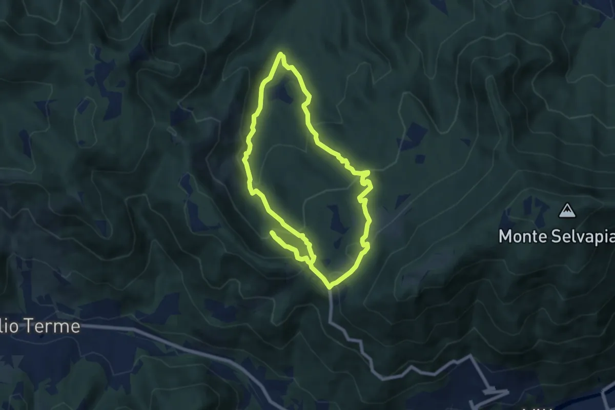
Medium · Trail
Gavardo (Monte Magno) – Monte Magno
6.7 km · ↑ 382 m · 2 h 30 min · 8 km away
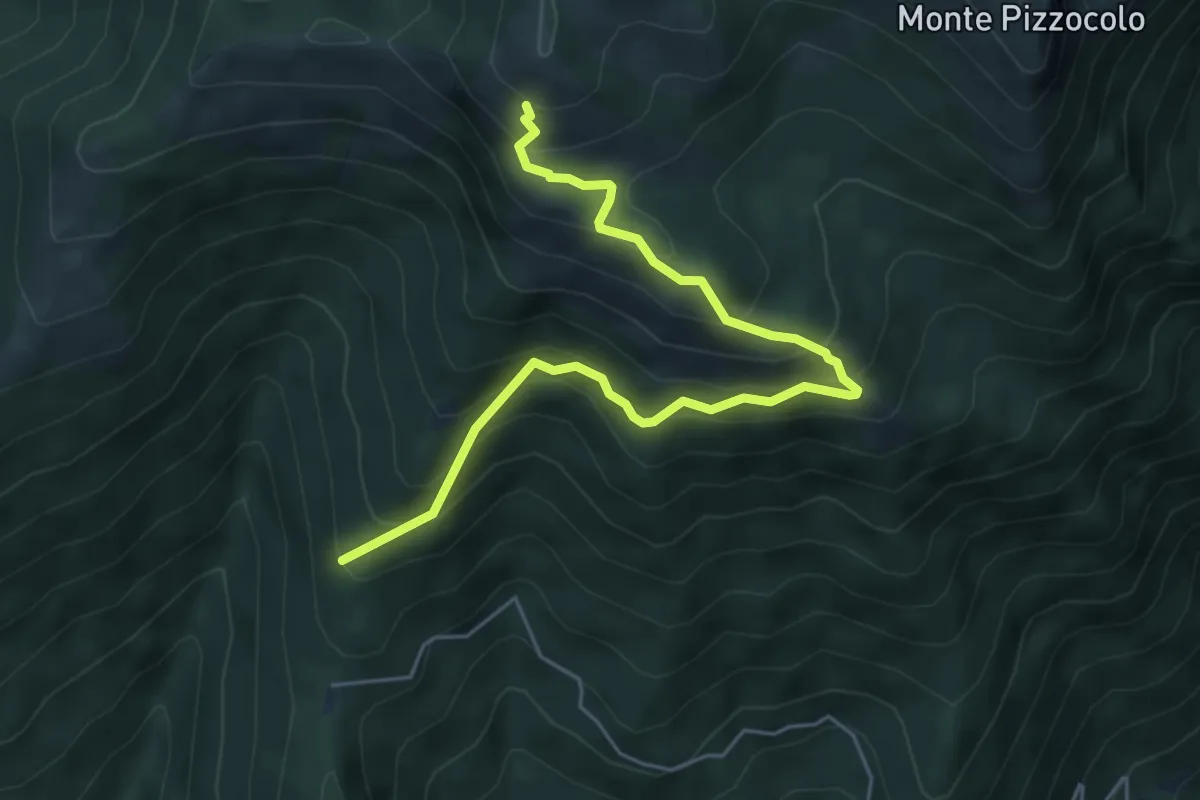
Medium · Trail
Sentiero del Casetto del Veronese
6.0 km · ↑ 605 m · 2 h 44 min · 8 km away
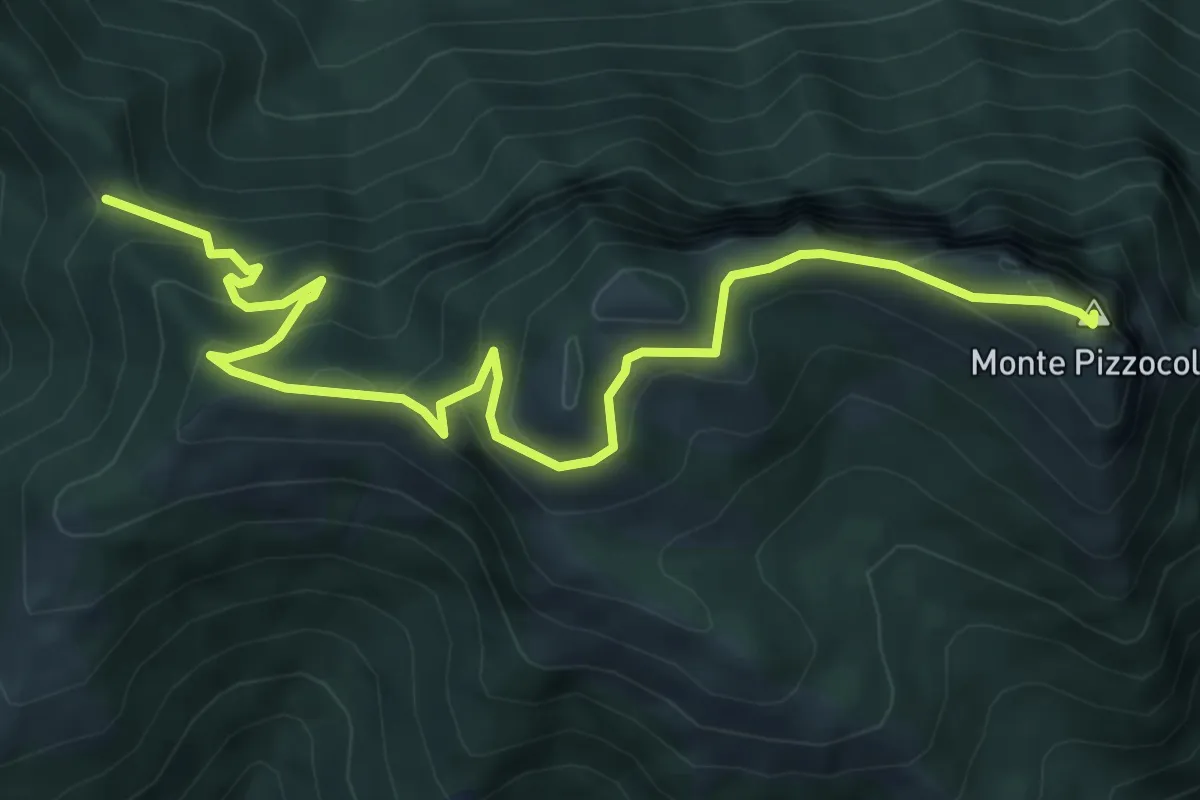
Medium · Summit
Passo Spino – Cima Pizzocolo
7.9 km · ↑ 625 m · 3 h 13 min · 8 km away
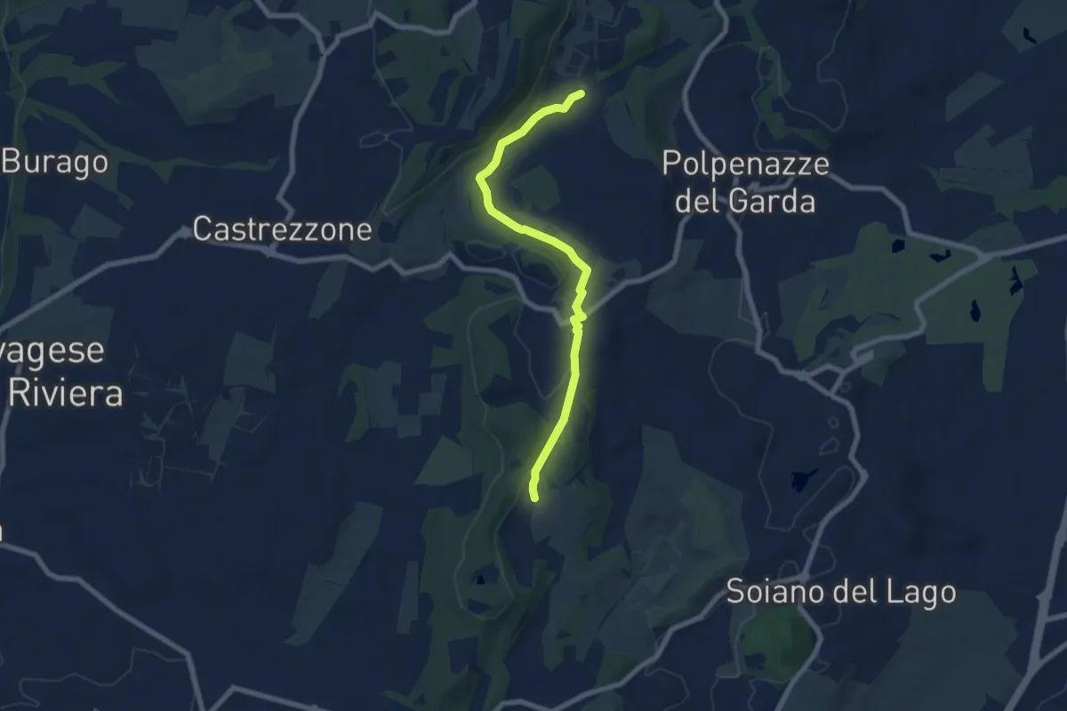
Easy · Trail
Lago di Lucone, Castelletto
6.9 km · ↑ 97 m · 1 h 51 min · 8 km away
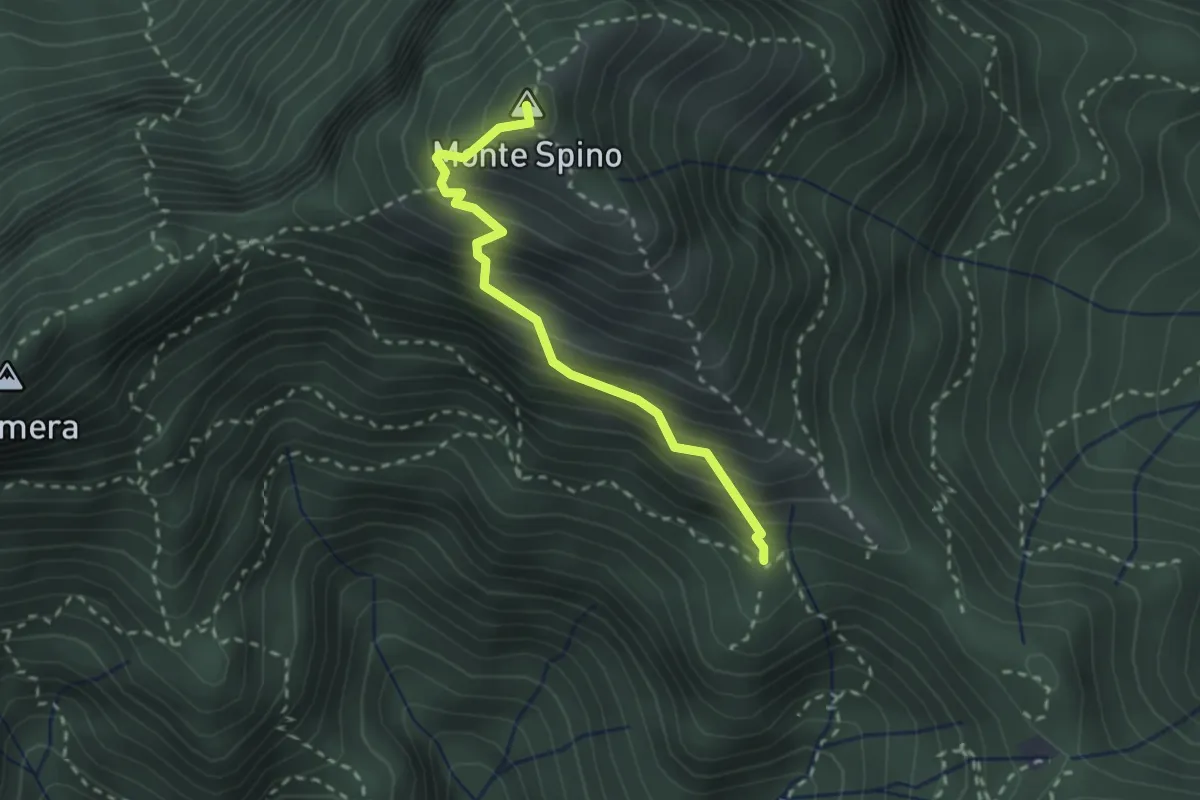
Demanding · Summit
Sentiero del Monte Spino
2.4 km · ↑ 335 m · 1 h 17 min · 9 km away
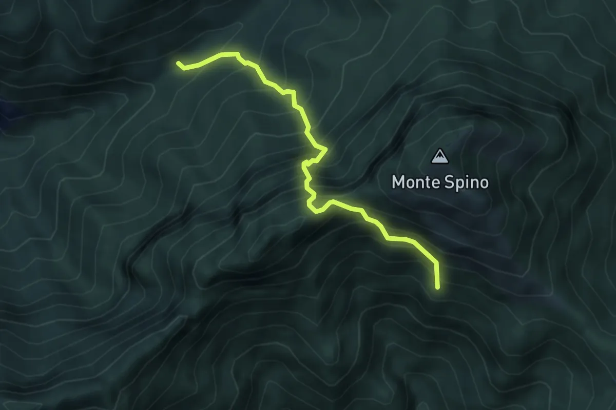
Expert · Trail
Sentiero del Buco del Gatto
4.3 km · ↑ 785 m · 2 h 43 min · 9 km away
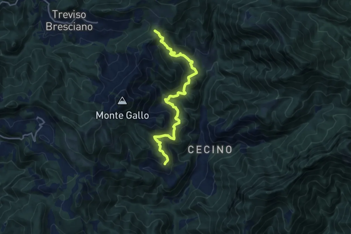
Demanding · Summit
Antica Strada Romana
12.3 km · ↑ 906 m · 4 h 52 min · 9 km away
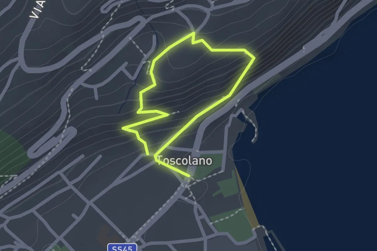
Medium · Trail
Percorso 06B Toscolano Maderno
1.4 km · ↑ 92 m · 33 min · 9 km away
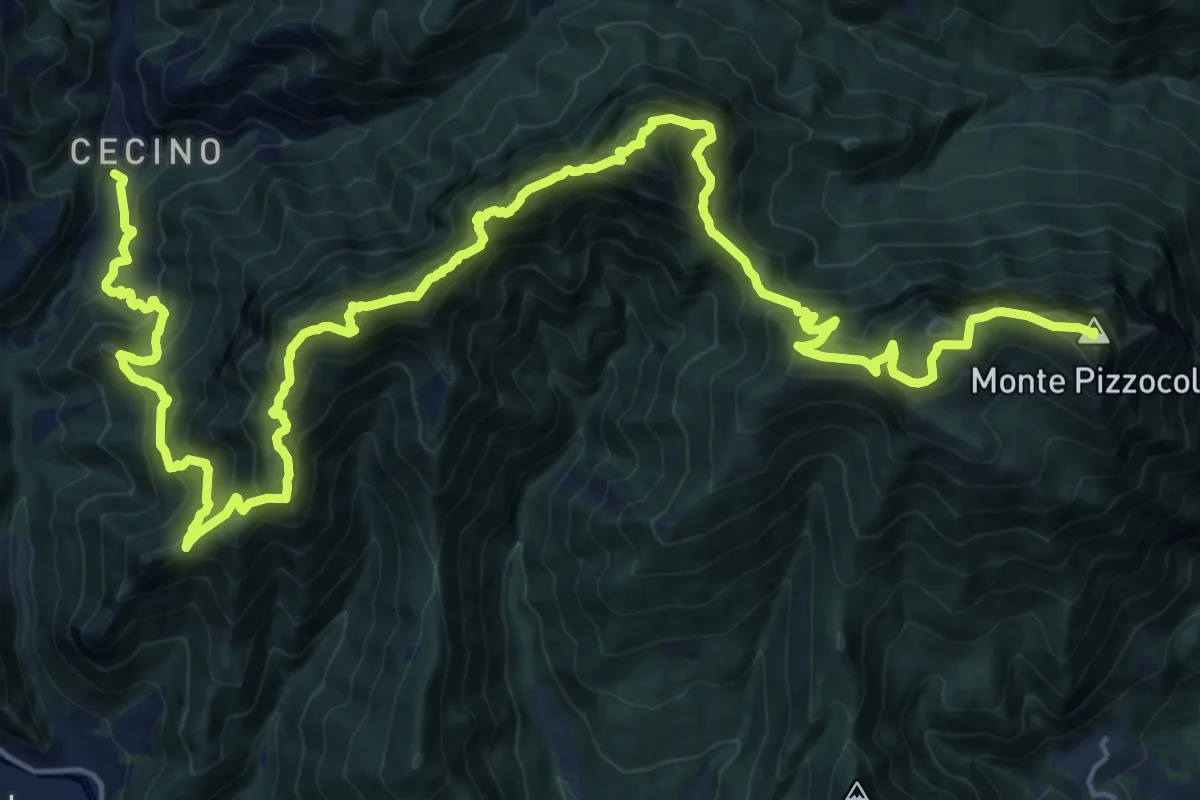
Expert · Summit
Cecino - Ortello
30.9 km · ↑ 2690 m · 13 h 7 min · 9 km away
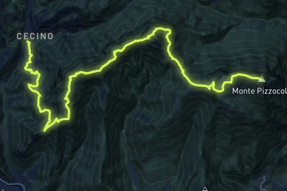
Expert · Summit
Sentiero delle Creste
29.7 km · ↑ 2608 m · 12 h 40 min · 9 km away
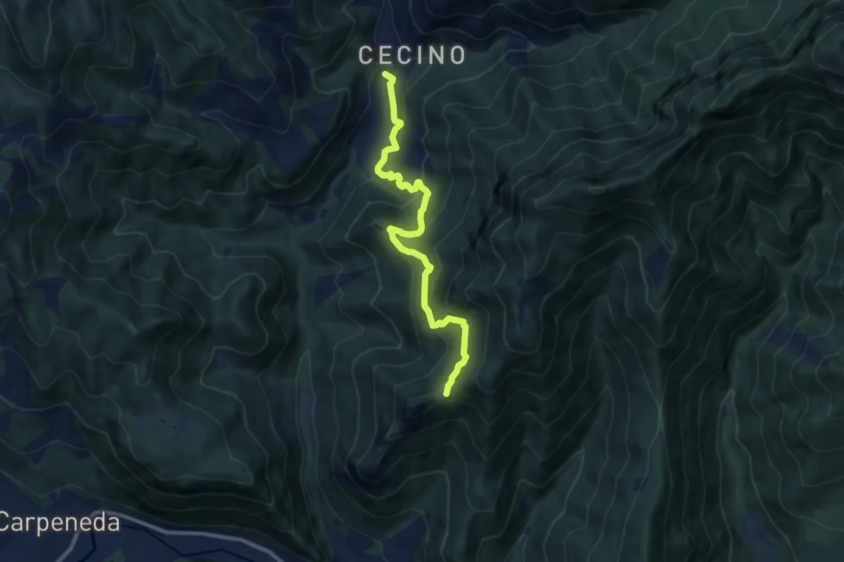
Medium · Trail
Sentiero di Ceresola
8.1 km · ↑ 507 m · 3 h 1 min · 9 km away
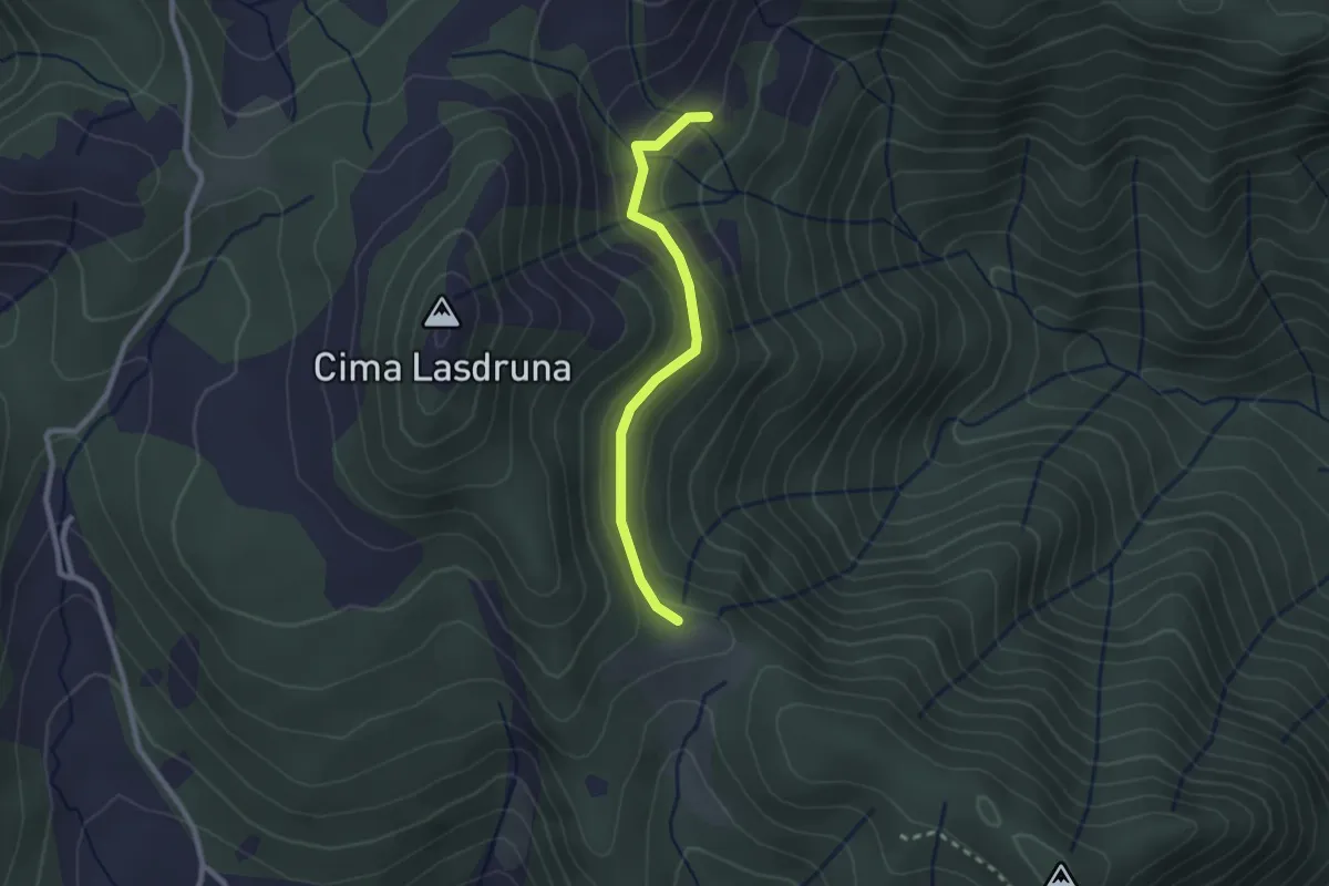
Medium · Trail
Dusina - Ludrio
2.2 km · ↑ 85 m · 43 min · 9 km away
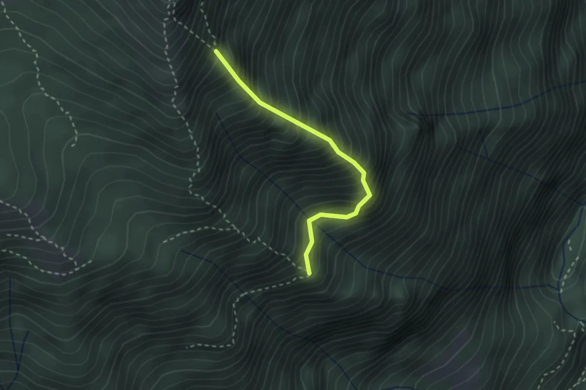
Expert · Trail
Cresta est
2.4 km · ↑ 499 m · 1 h 38 min · 9 km away
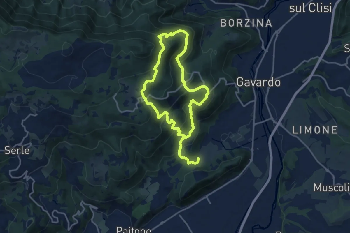
Medium · Summit
Sentiero Mario Merelli
9.5 km · ↑ 548 m · 3 h 31 min · 9 km away
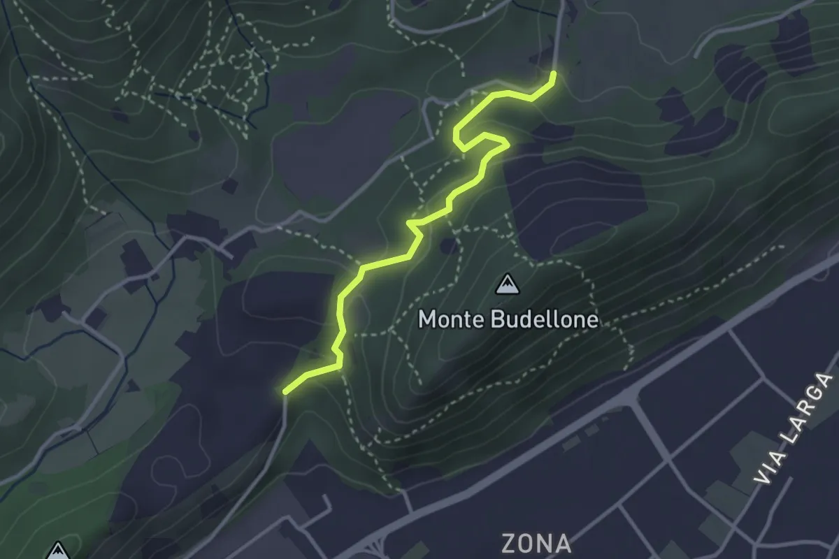
Easy · Trail
La Via del marmo - Prevalle (Buco del Frate)
3.1 km · ↑ 132 m · 1 h 1 min · 9 km away
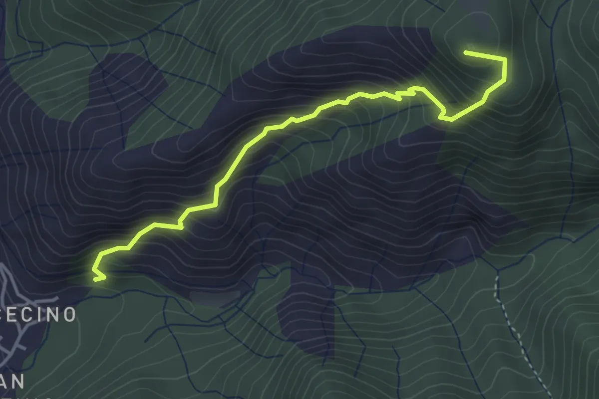
Demanding · Summit
Cecino (Vobarno) – Campei de Sima (Toscolano Maderno)
3.9 km · ↑ 541 m · 2 h 5 min · 9 km away
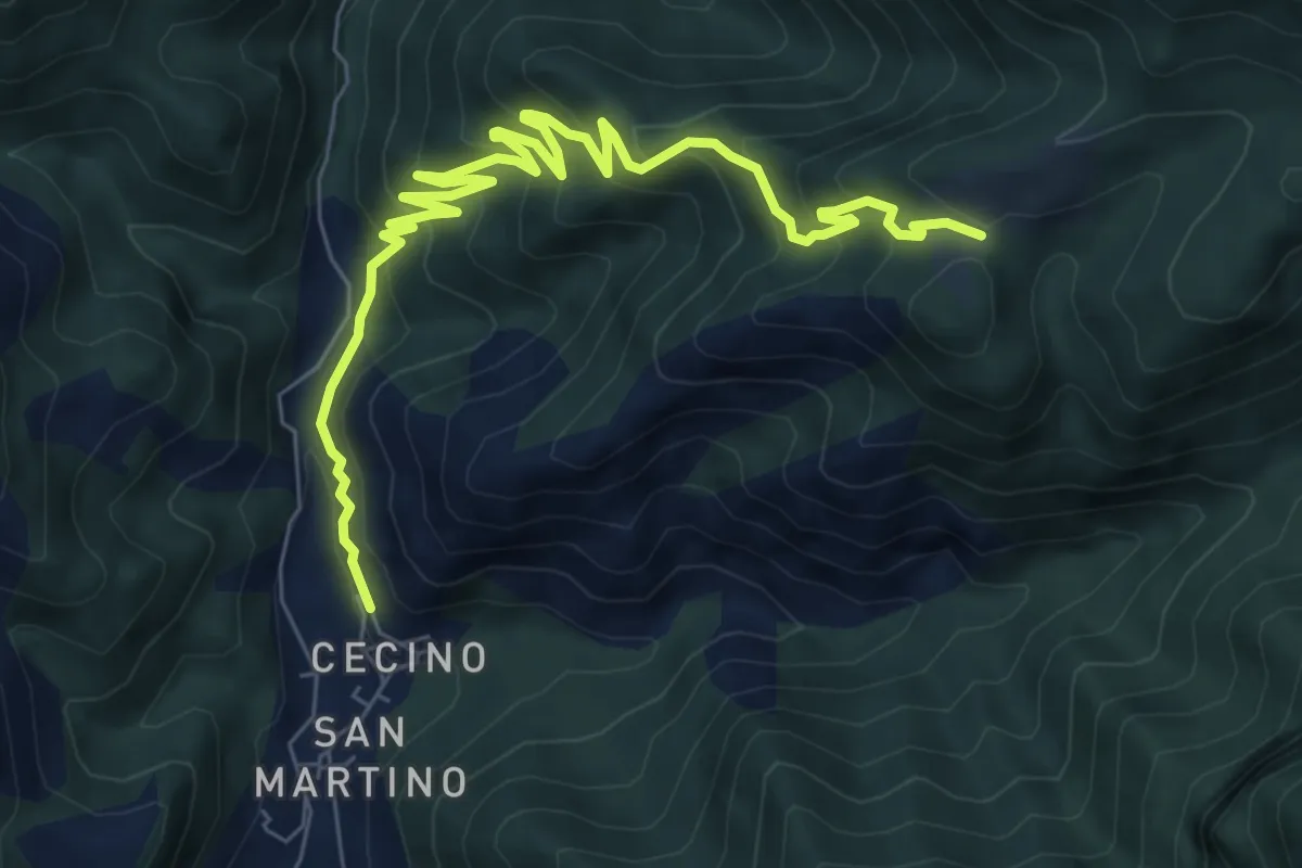
Medium · Trail
Cecino - Ponte Sacca - Cascina Brasassio
4.6 km · ↑ 642 m · 2 h 16 min · 9 km away
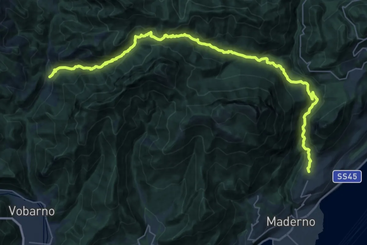
Demanding · Trail
Cecino (Vobarno) – Gaino (Toscolano Maderno)
14.5 km · ↑ 922 m · 5 h 35 min · 9 km away
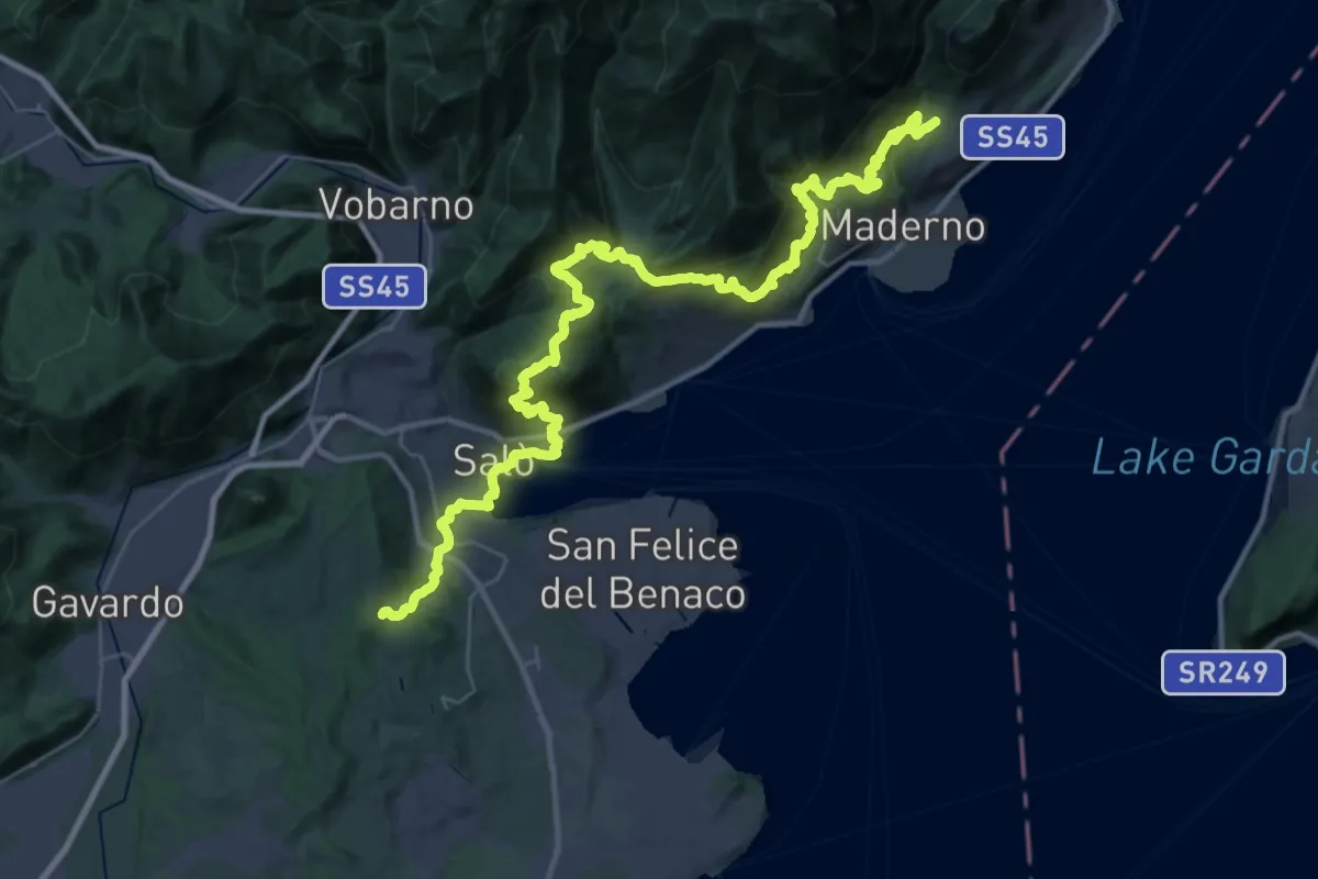
Demanding · Trail
Salò - Gaino
22.9 km · ↑ 1118 m · 8 h 8 min · 9 km away
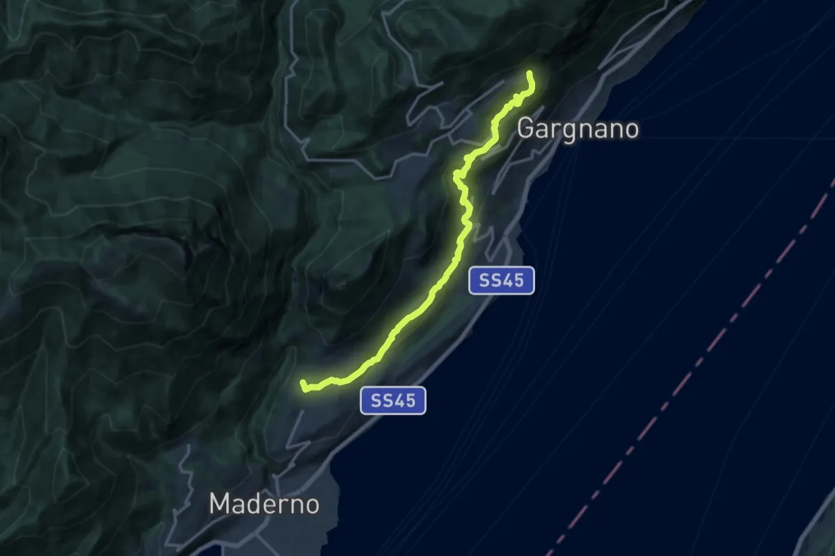
Medium · Trail
Gaino – Musaga
14.0 km · ↑ 584 m · 4 h 34 min · 9 km away
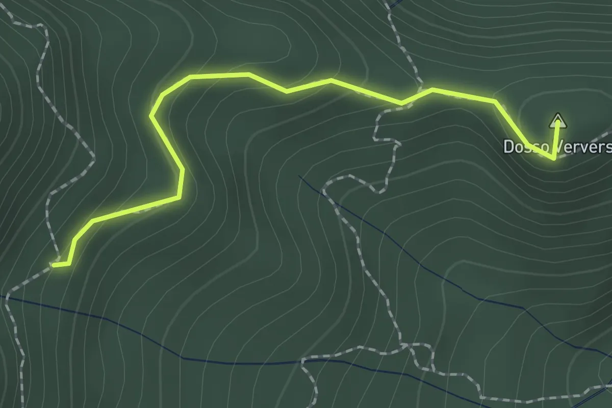
Medium · Summit
Sentiero di Dosso Verver
1.9 km · ↑ 176 m · 50 min · 9 km away
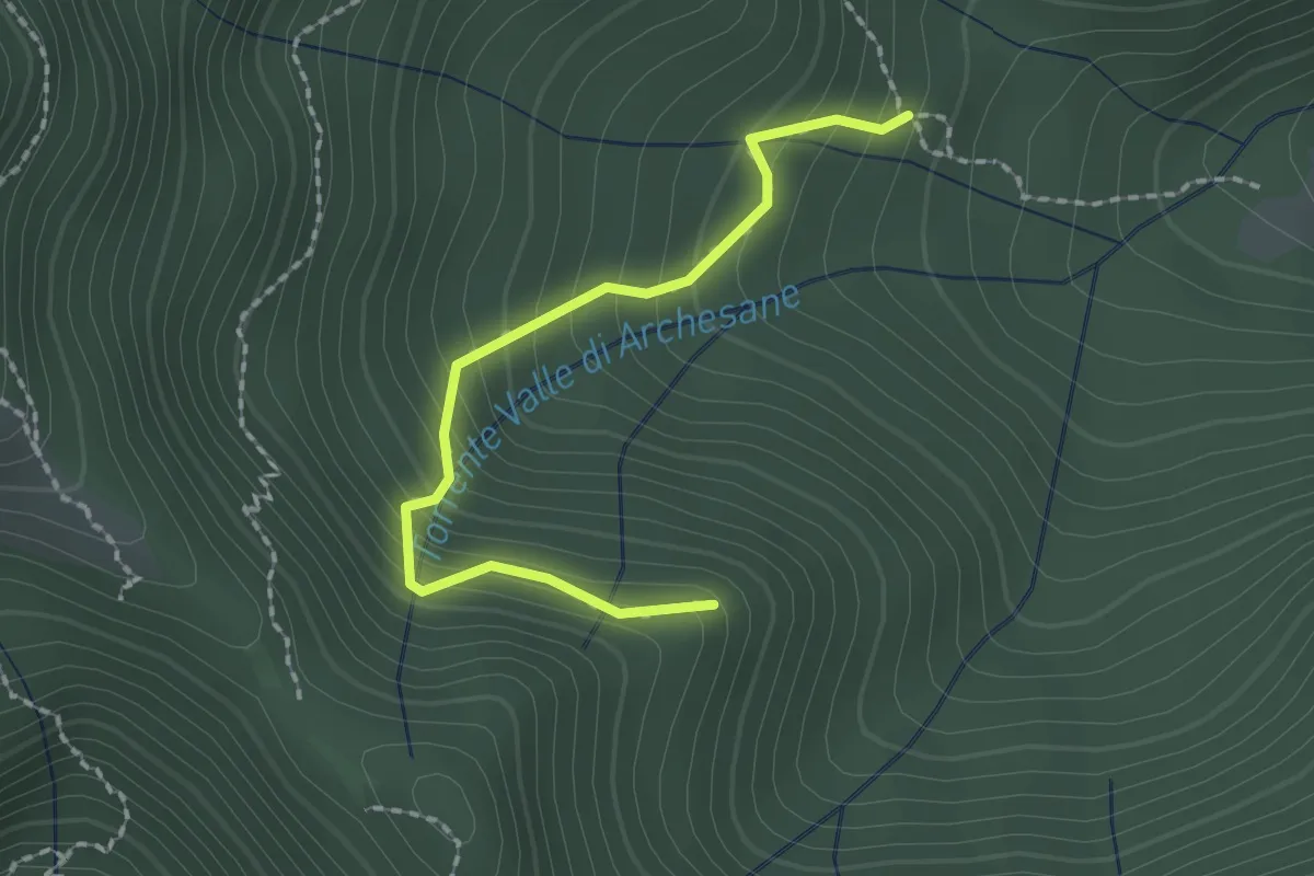
Easy · Trail
Sentiero del Poiat
2.0 km · ↑ 261 m · 1 h 2 min · 9 km away
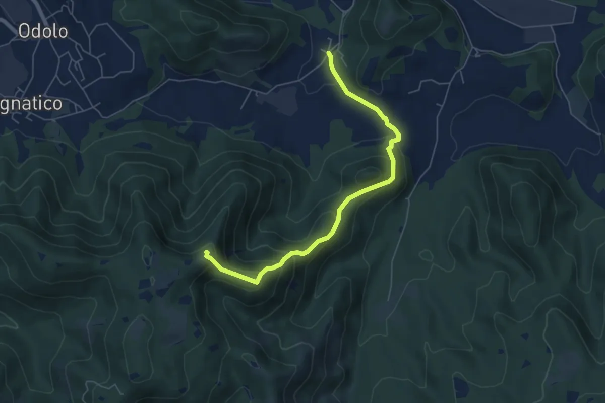
Medium · Summit
Sabbio Chiese (Ponte della Fame) - Monte Corvino
5.7 km · ↑ 397 m · 2 h 13 min · 9 km away
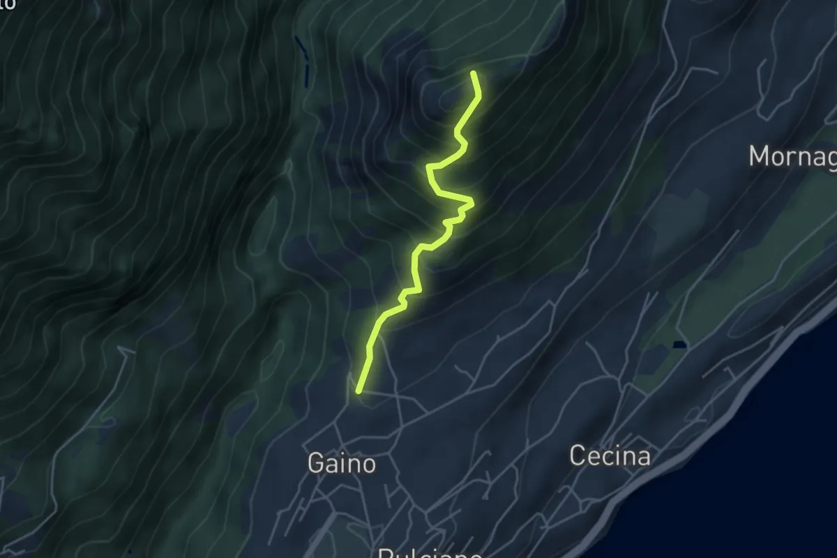
Medium · Summit
Sentiero del Castello di Gaino
3.8 km · ↑ 533 m · 2 h 3 min · 9 km away
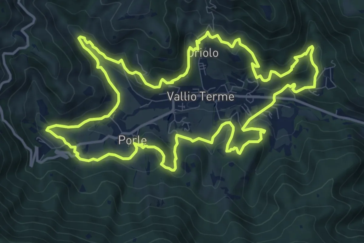
Medium · Trail
Giro delle contrade
11.6 km · ↑ 525 m · 4 h 2 min · 9 km away
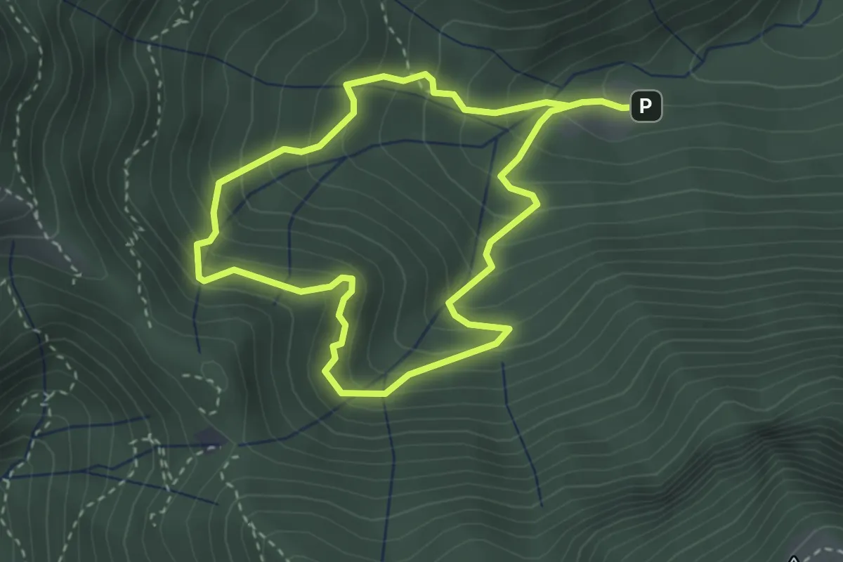
Easy · Trail
Anello Valle di Archesane
2.9 km · ↑ 315 m · 1 h 24 min · 9 km away
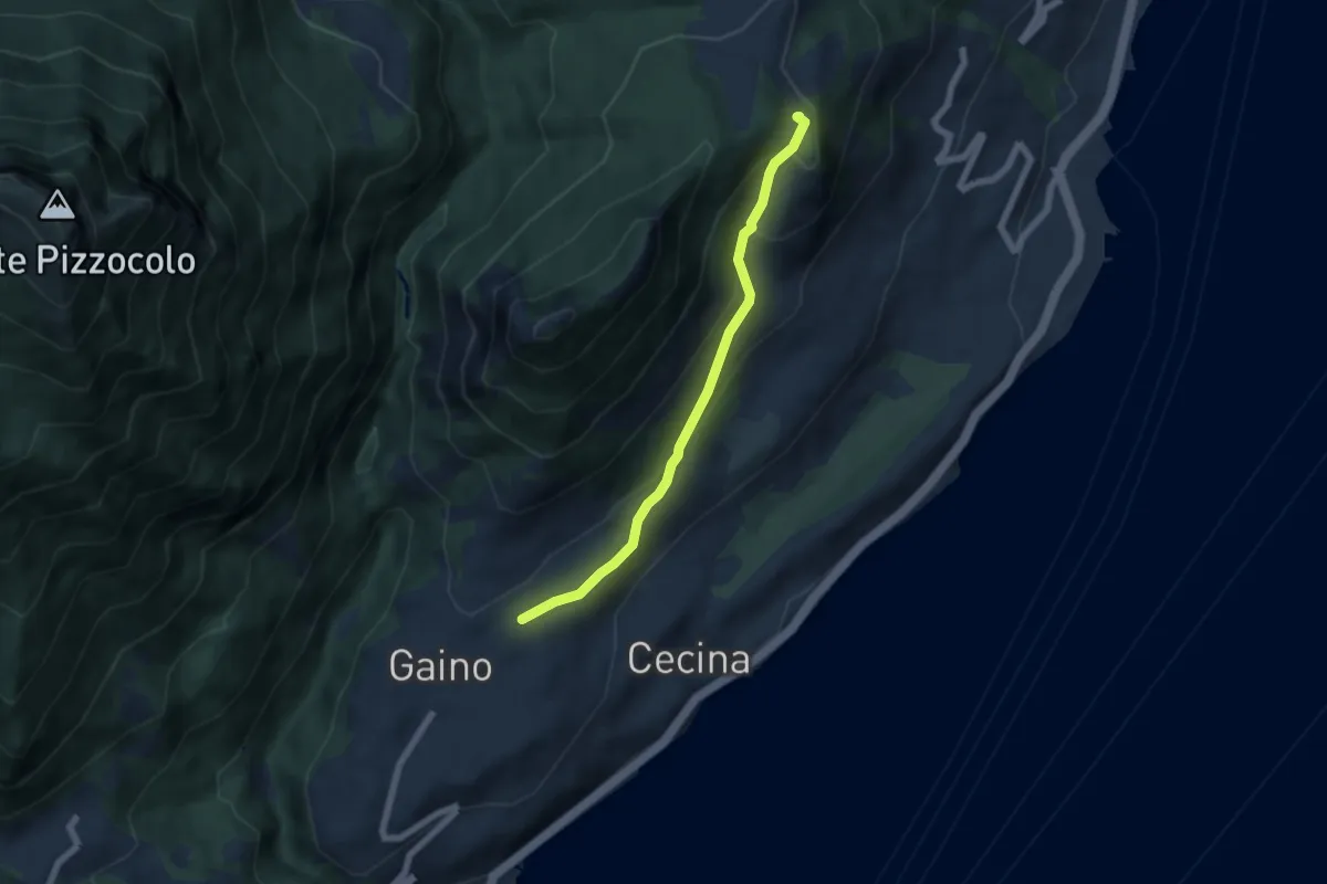
Easy · Summit
Gaino - Navazzo
5.6 km · ↑ 266 m · 1 h 54 min · 10 km away
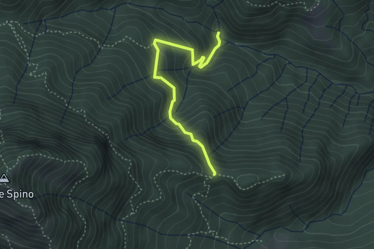
Medium · Trail
Sentiero di Selva Scura
3.4 km · ↑ 305 m · 1 h 28 min · 10 km away
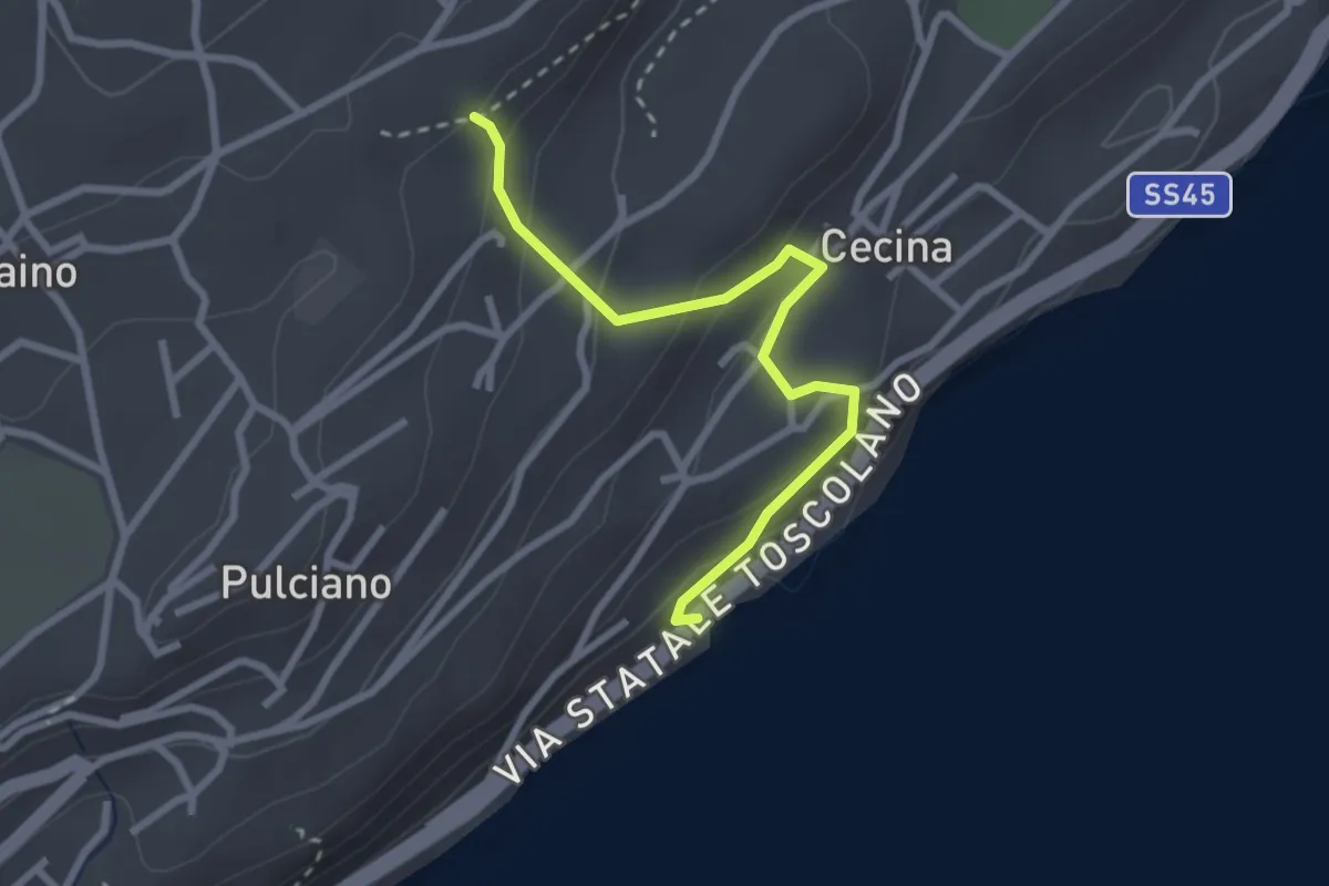
Easy · Trail
Sentiero degli Orticelli
2.7 km · ↑ 184 m · 1 h 2 min · 10 km away
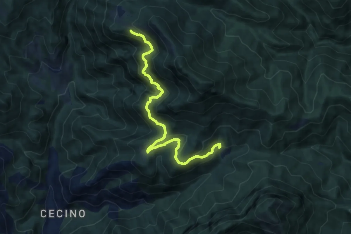
Demanding · Trail
Sentiero dello Zingla
9.9 km · ↑ 837 m · 4 h 9 min · 10 km away
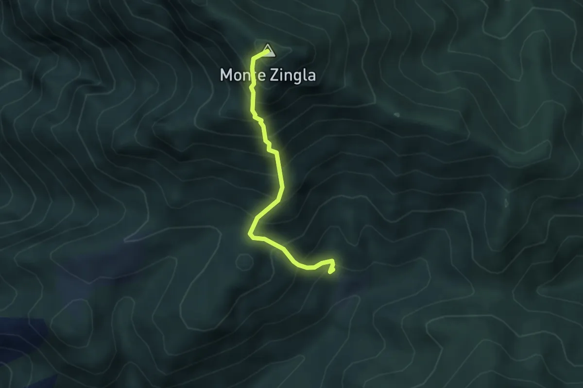
Medium · Summit
Sentiero dello Zingla
3.2 km · ↑ 552 m · 1 h 57 min · 10 km away
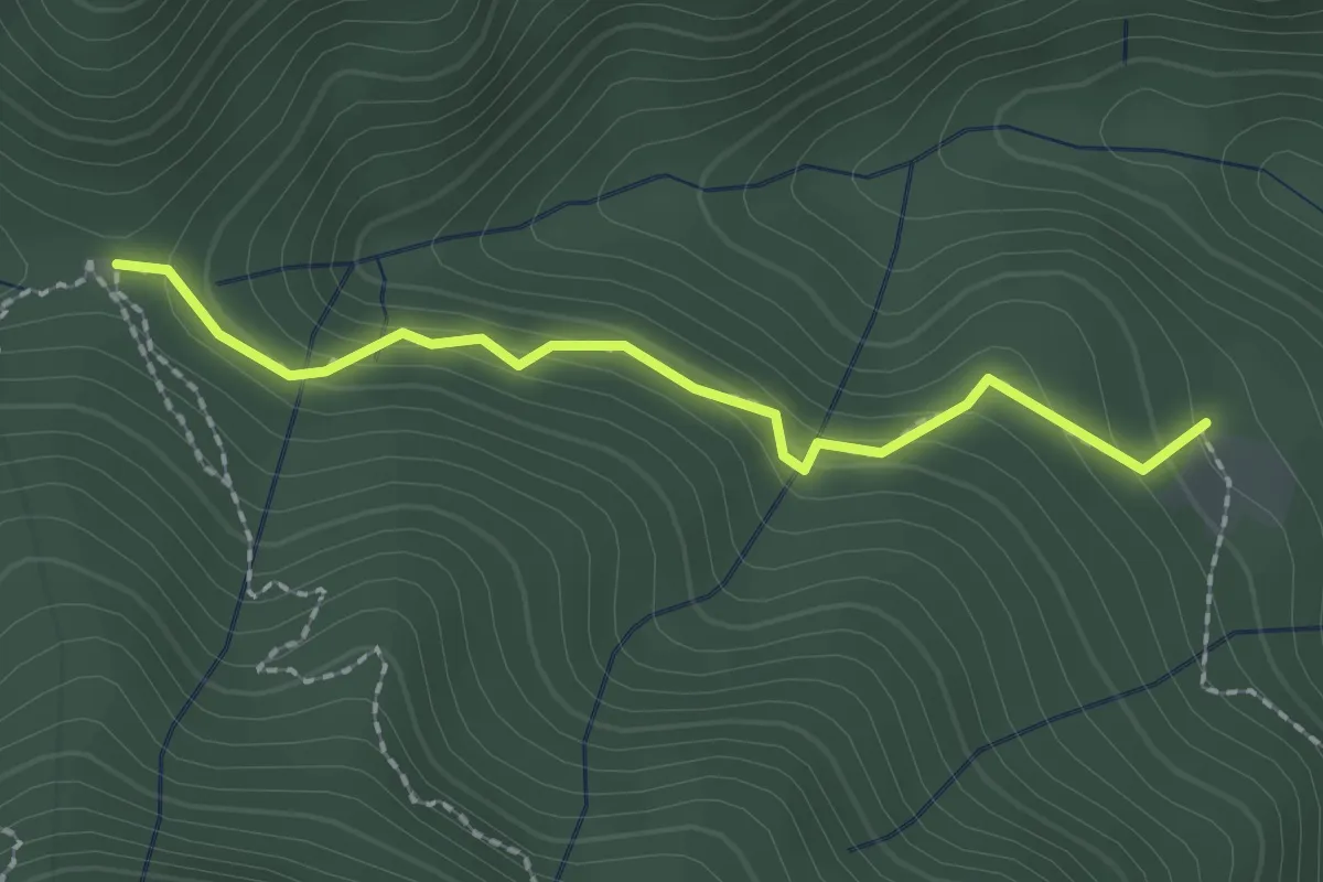
Easy · Trail
Sentiero del Rilo
2.0 km · ↑ 133 m · 46 min · 10 km away
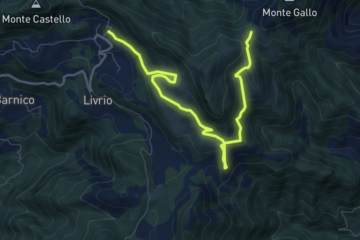
Medium · Trail
Arveaco - Passo del Cul
9.5 km · ↑ 674 m · 3 h 43 min · 10 km away
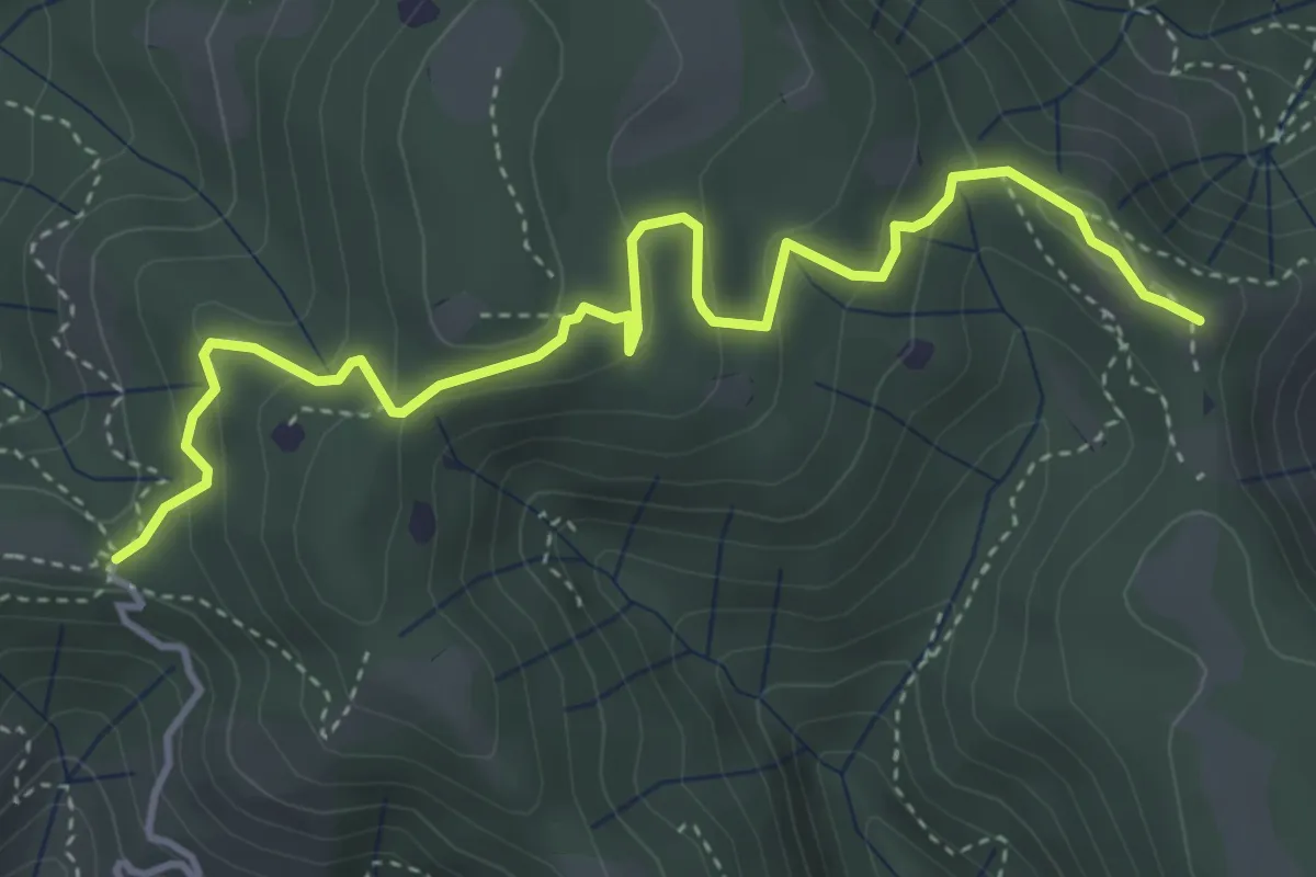
Easy · Summit
Vallio Terme (Barcolo) - Gavardo (Osteria Monte Magno)
4.7 km · ↑ 206 m · 1 h 33 min · 10 km away
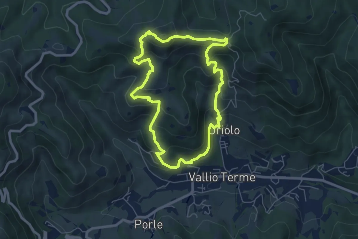
Medium · Summit
Vallio Terme (Vigle) - Rocca di Bernacco - Oriolo
5.2 km · ↑ 400 m · 2 h 11 min · 10 km away
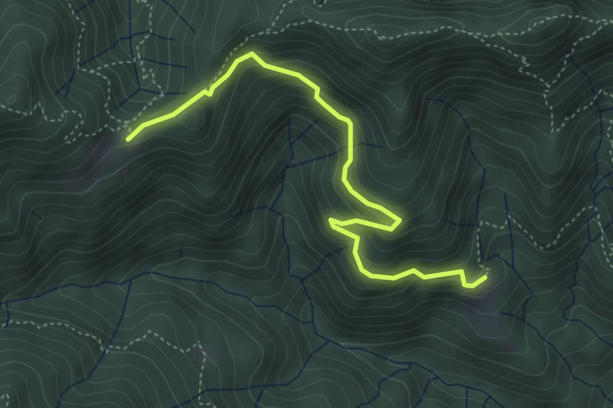
Medium · Cabin
Sentiero dell'Unità Nazionale
4.7 km · ↑ 316 m · 1 h 47 min · 11 km away
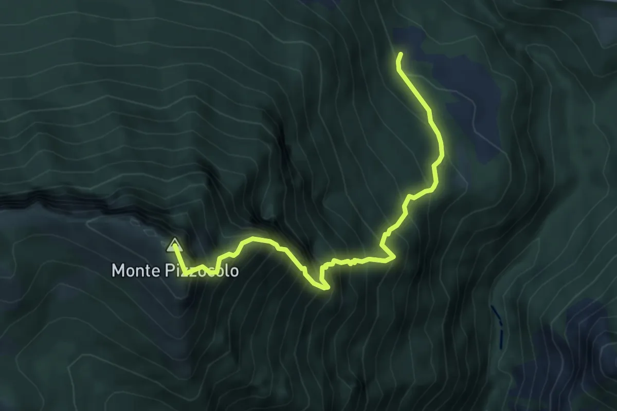
Expert · Summit
Sentiero dei Tre Amici
5.6 km · ↑ 1141 m · 3 h 48 min · 11 km away
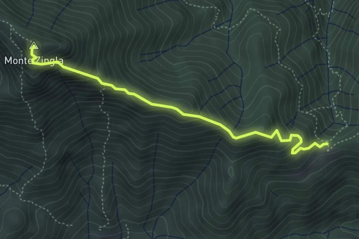
Demanding · Summit
Sentiero della Cresta dello Zingla
4.6 km · ↑ 439 m · 2 h 2 min · 11 km away
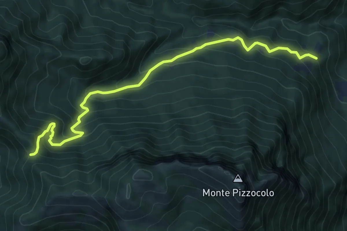
Medium · Trail
Palazzo Archesane - Passo Spino
9.3 km · ↑ 737 m · 3 h 48 min · 11 km away
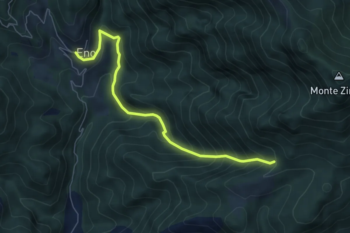
Medium · Trail
Sentiero della Valle di Faeno
6.0 km · ↑ 622 m · 2 h 46 min · 11 km away