Trails near Salò
209 hikes starting within 15 km, nearest first.
Nearest first, page 4 of 5
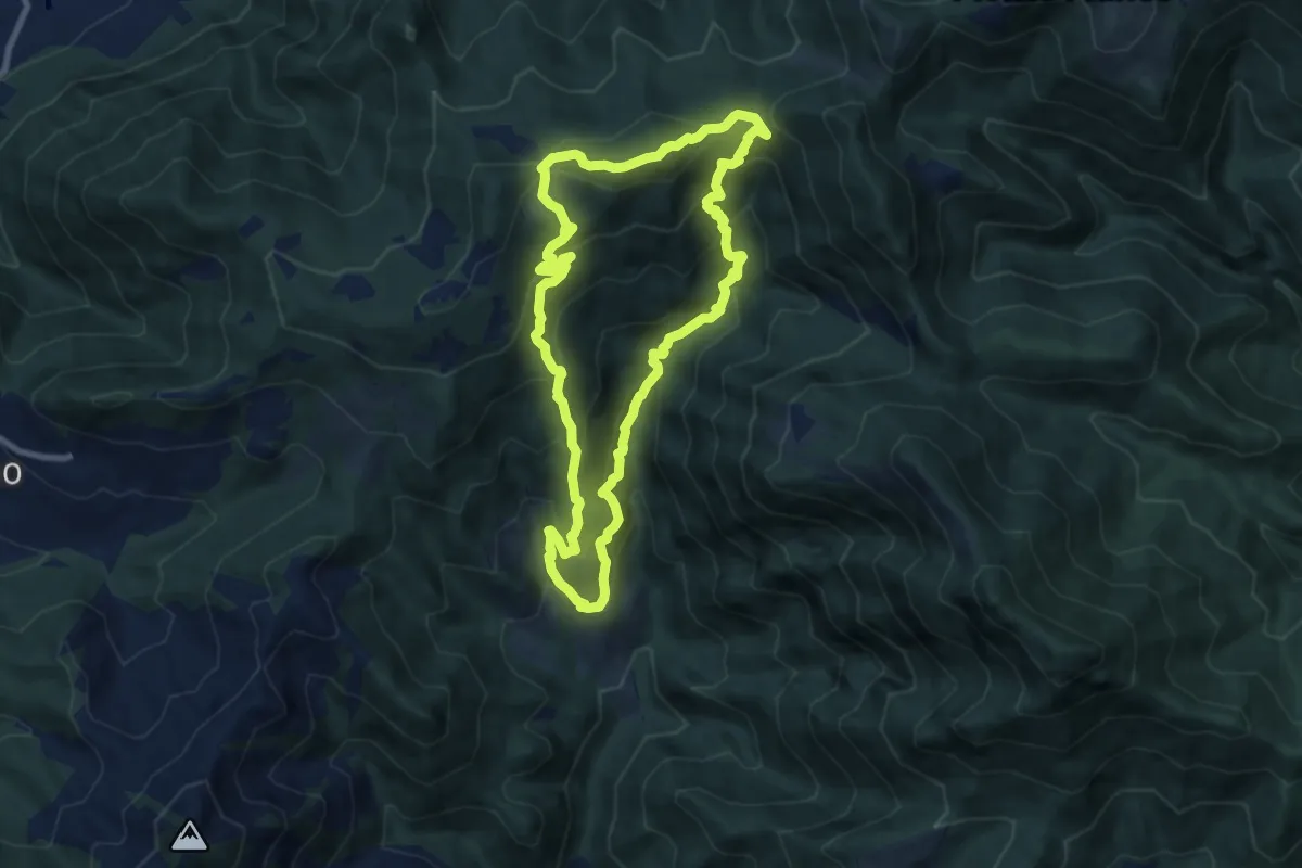
Medium · Summit
Eno – Eno
8.3 km · ↑ 684 m · 3 h 34 min · 11 km away
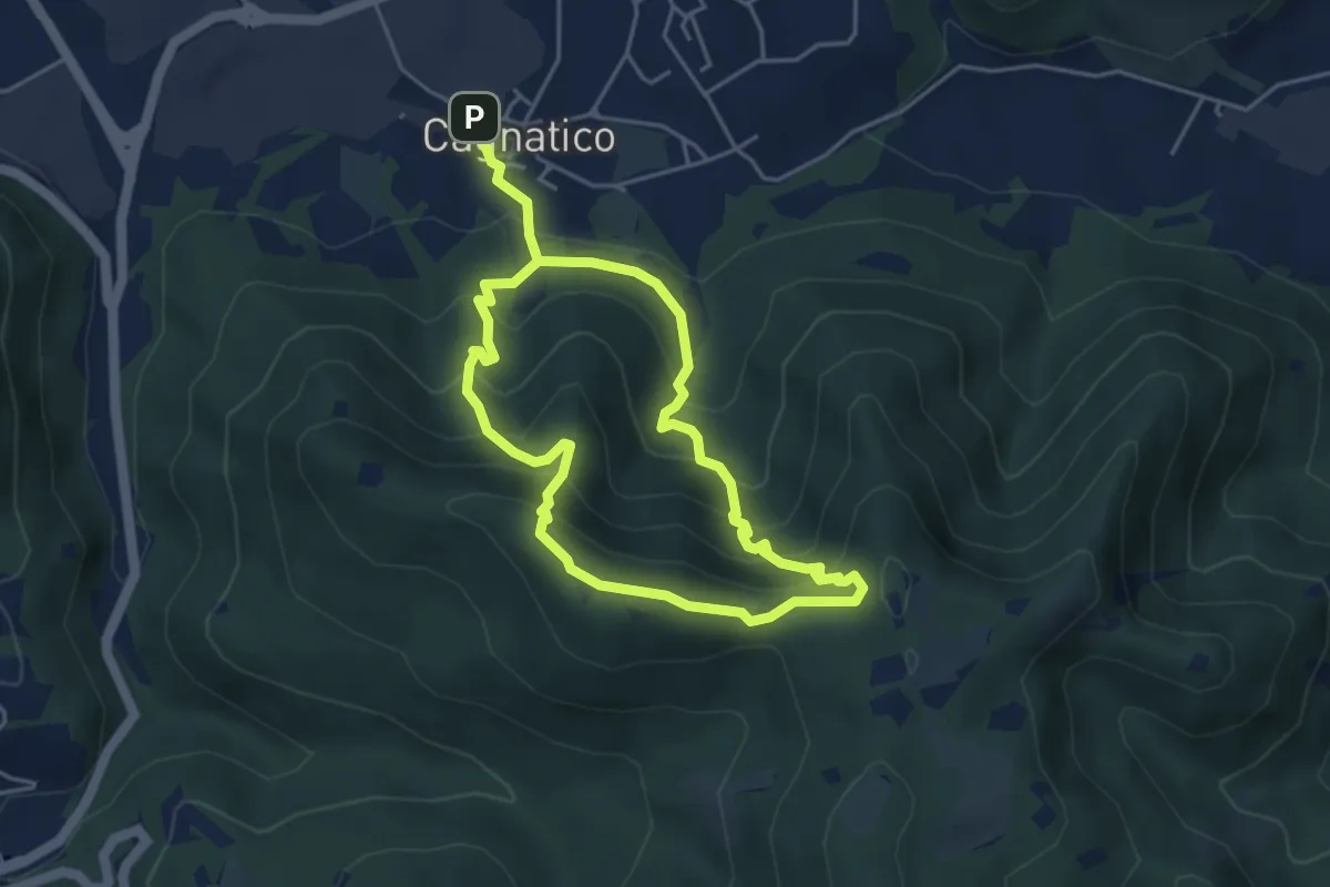
Medium · Summit
Odolo (Cagnatico) – Cagnatico
3.9 km · ↑ 360 m · 1 h 44 min · 11 km away
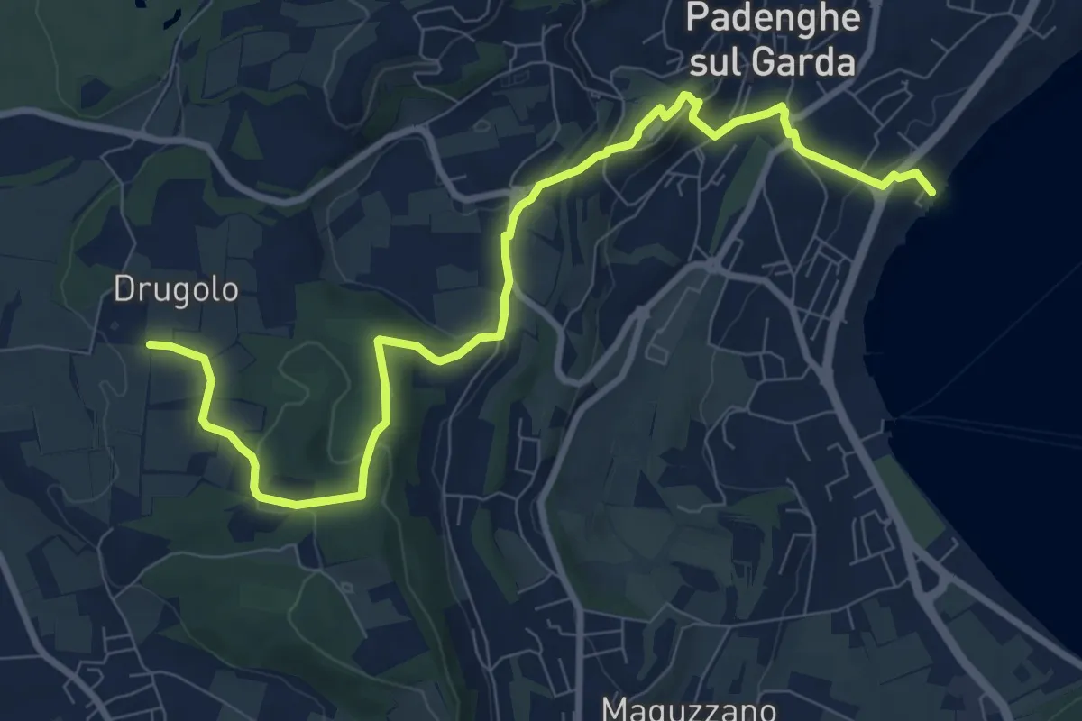
Medium · Trail
Drugolo – Padenghe lido
10.3 km · ↑ 240 m · 2 h 58 min · 11 km away
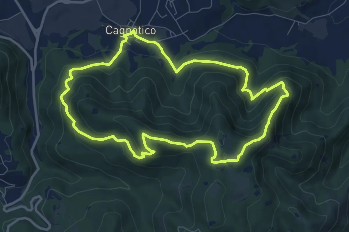
Medium · Summit
Odolo (Cagnatico) – Cagnatico
7.1 km · ↑ 405 m · 2 h 40 min · 11 km away
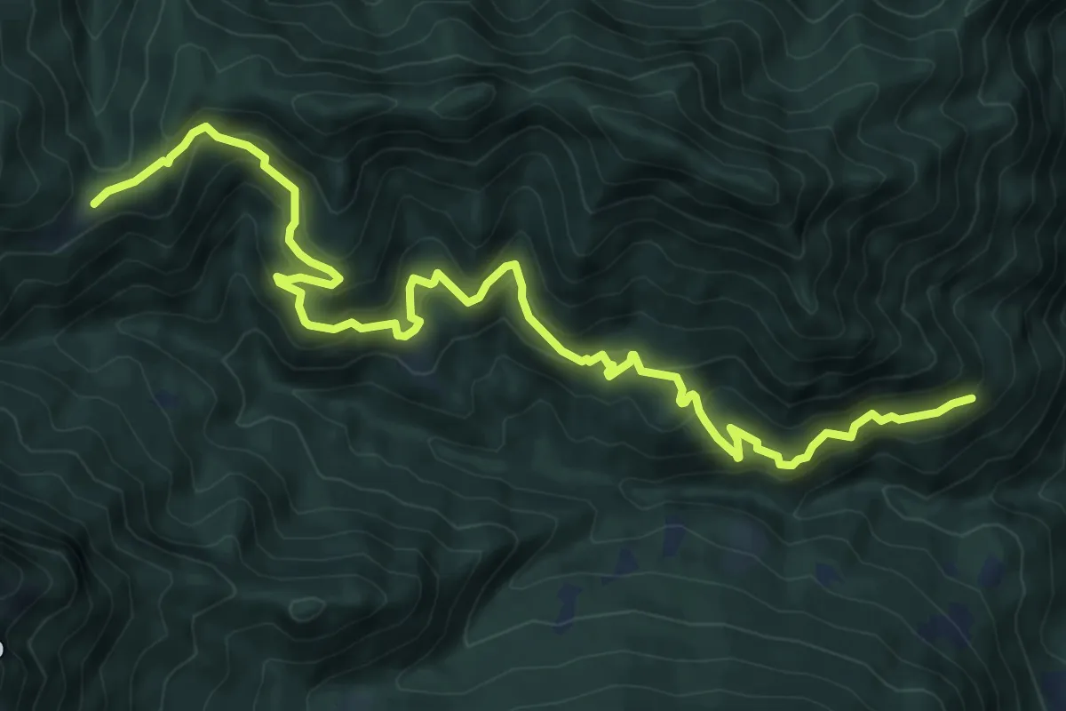
Demanding · Cabin
Sentiero dei Tre Campei
11.4 km · ↑ 890 m · 4 h 37 min · 12 km away
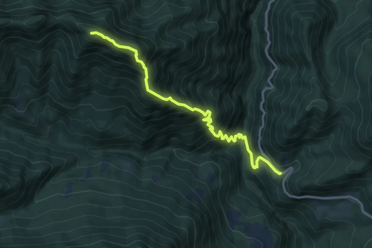
Demanding · Summit
Sentiero del Precalvis
7.7 km · ↑ 956 m · 3 h 54 min · 12 km away
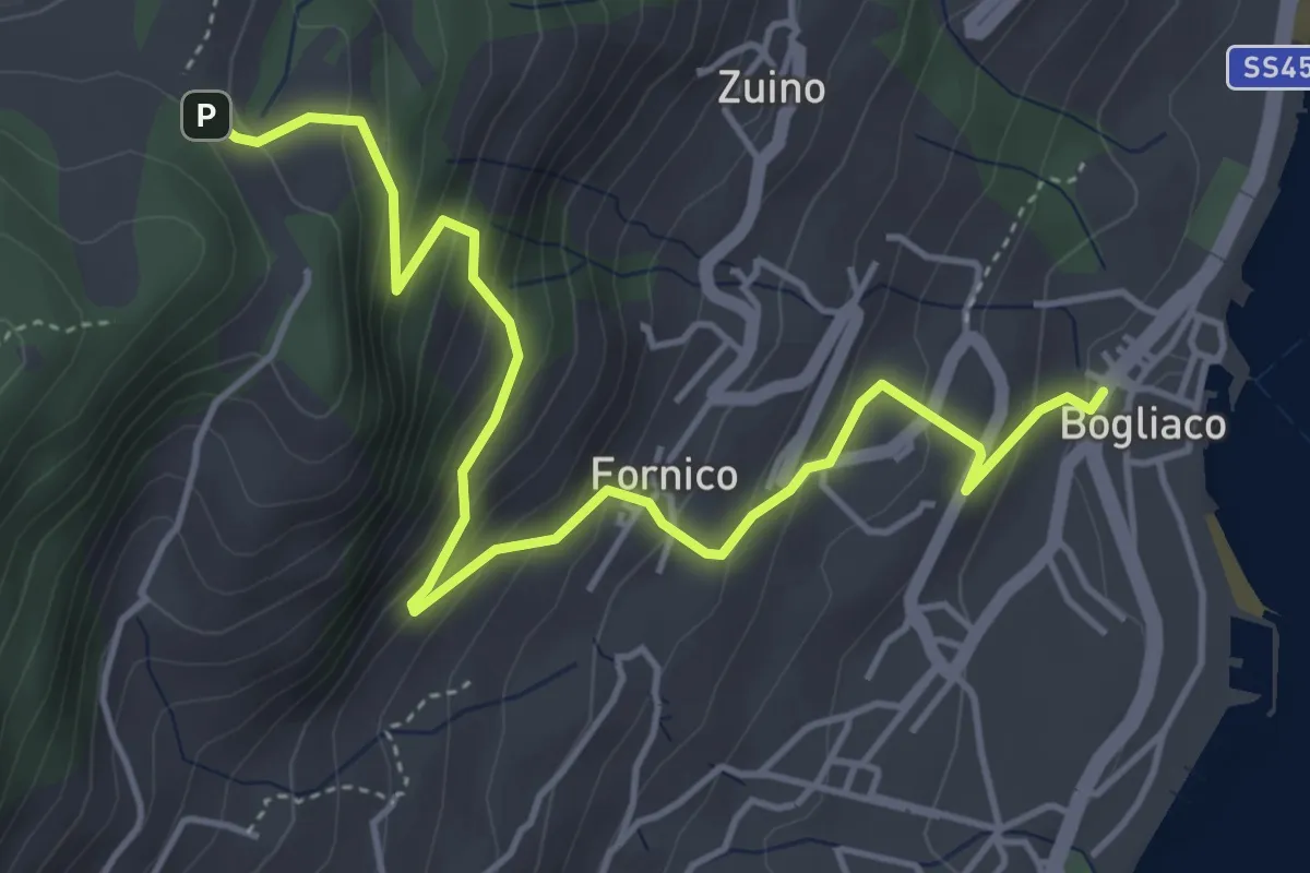
Medium · Trail
Bogliaco (Gargnano) - Sostaga (Gargnano)
5.4 km · ↑ 436 m · 2 h 14 min · 12 km away
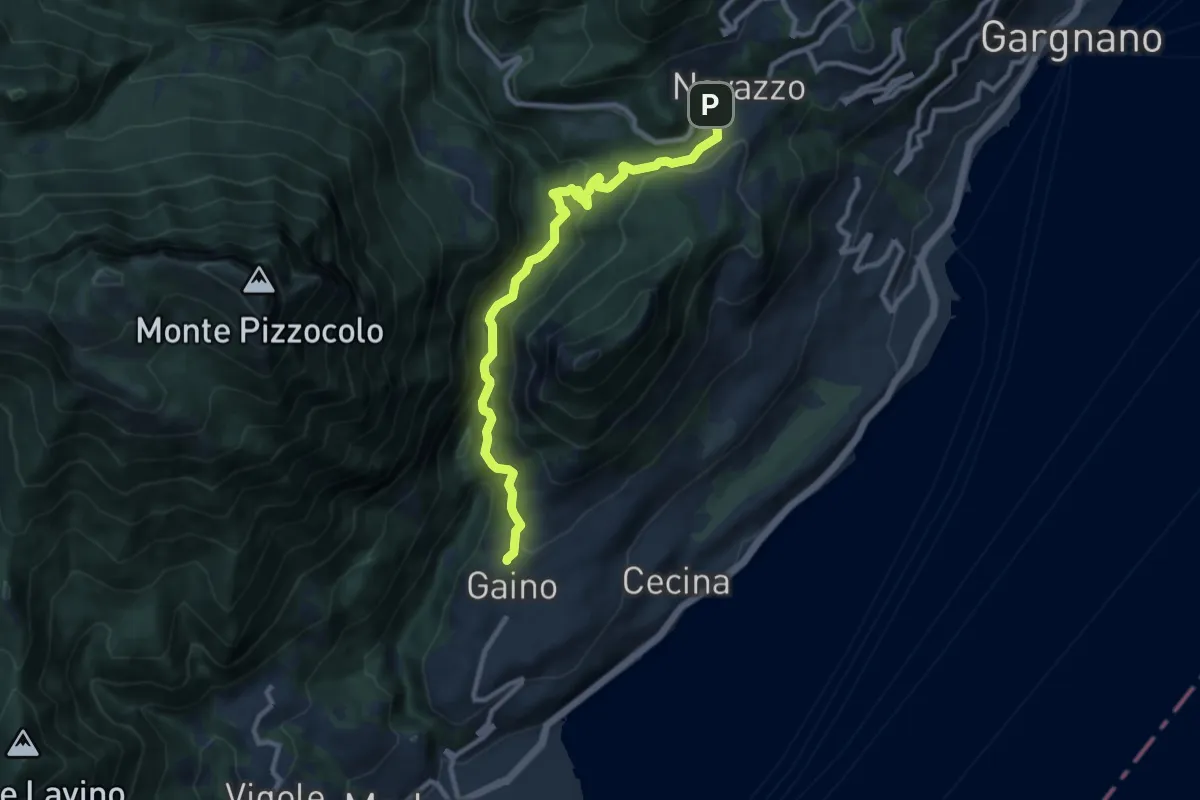
Medium · Trail
Navazzo – Gaino
9.9 km · ↑ 372 m · 3 h 8 min · 12 km away
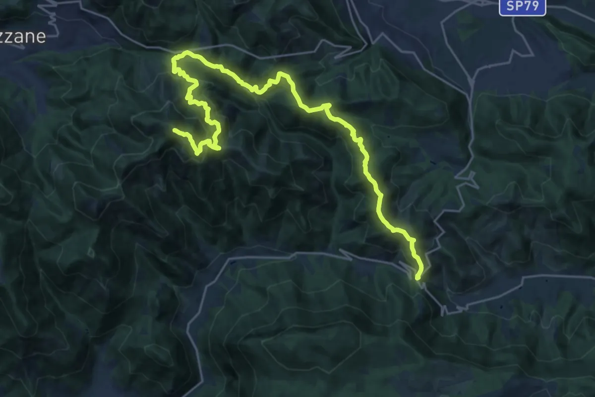
Expert · Summit
Caino (Villa Sera) – Colle di Sant'Eusebio
24.7 km · ↑ 1761 m · 9 h 39 min · 12 km away
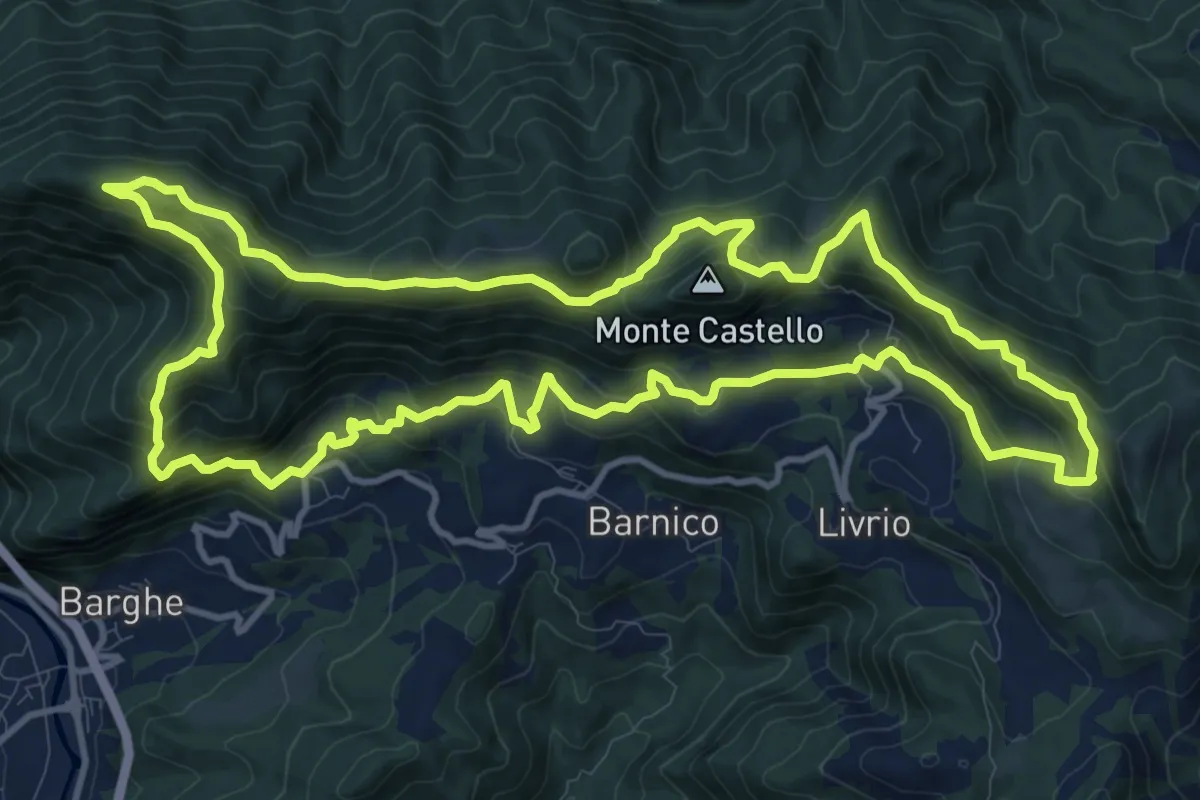
Medium · Summit
Sentiero della Resistenza 7^ Brigata Matteotti
13.1 km · ↑ 767 m · 4 h 57 min · 12 km away
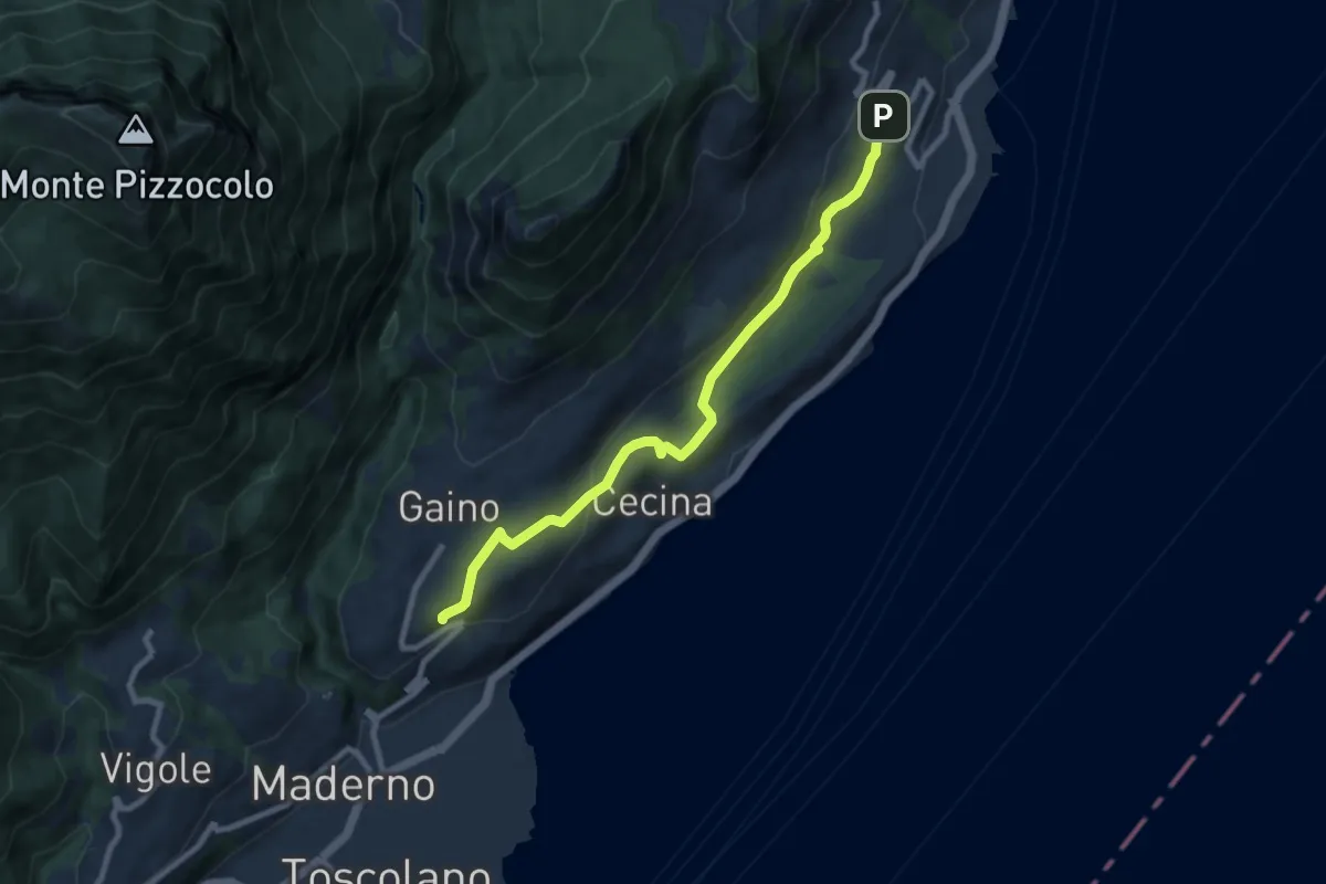
Medium · Trail
Gaino (Toscolano Maderno) - Villavetro (Gargnano)
8.7 km · ↑ 243 m · 2 h 34 min · 12 km away
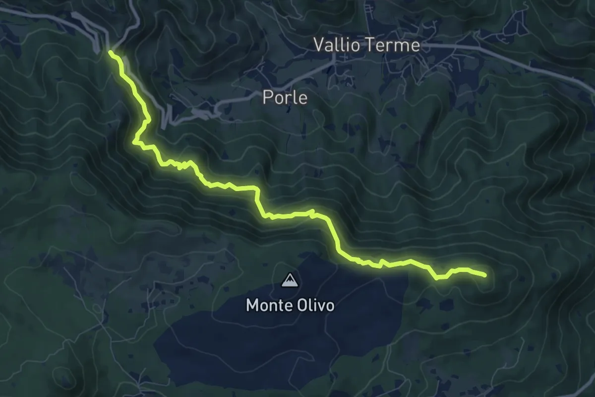
Medium · Summit
Sentér de mès
10.1 km · ↑ 629 m · 3 h 45 min · 12 km away
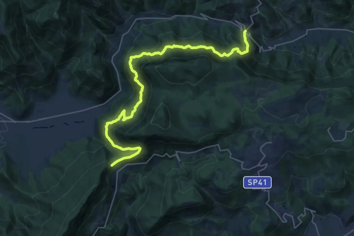
Demanding · Summit
Sentér Bandìt
22.8 km · ↑ 2084 m · 9 h 53 min · 12 km away
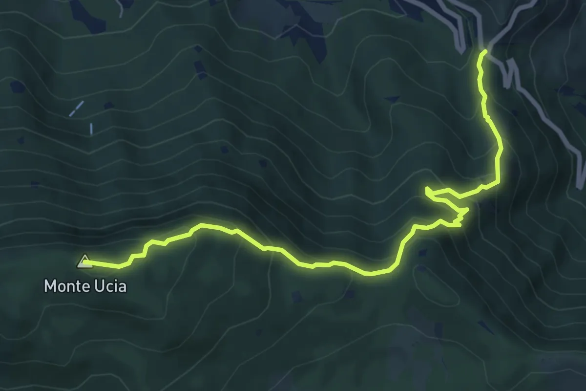
Medium · Summit
Sentiero Donna - Guarneri
7.2 km · ↑ 651 m · 3 h 7 min · 12 km away
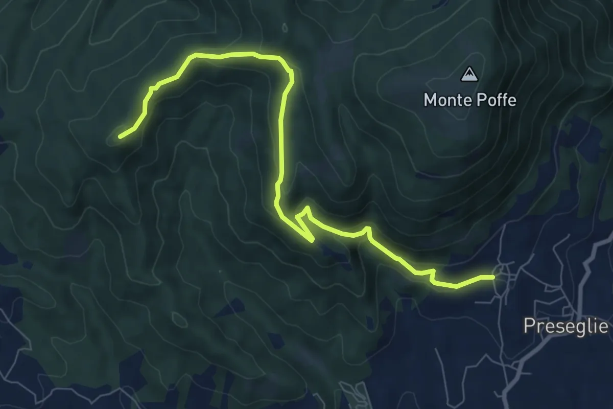
Medium · Summit
Loc. Galaello - Gazzane – Loc. Piazza - Preseglie
8.2 km · ↑ 443 m · 2 h 54 min · 12 km away
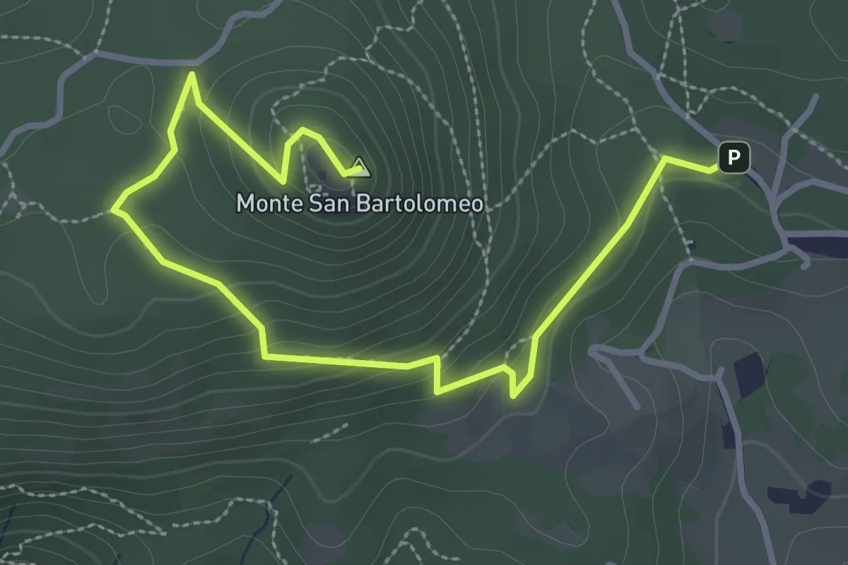
Medium · Summit
Serle (Parcheggio dei Fanti) - Monastero di San Bartolomeo
3.9 km · ↑ 164 m · 1 h 16 min · 12 km away
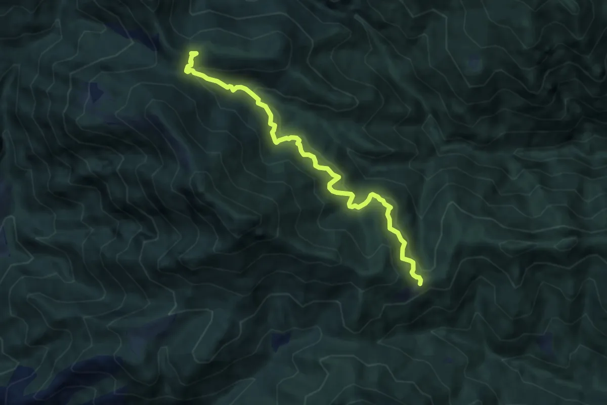
Medium · Cabin
Salò, Cavallino della Fobbia
8.7 km · ↑ 625 m · 3 h 24 min · 12 km away
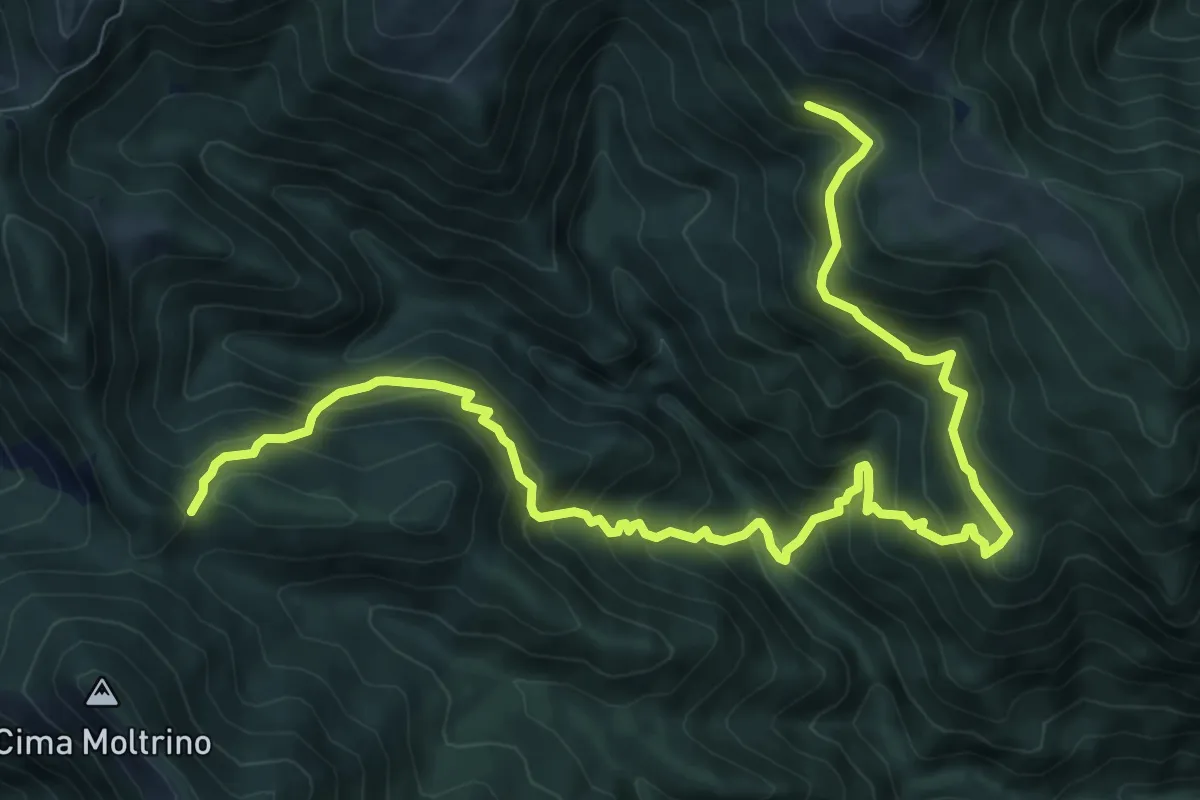
Demanding · Trail
Dosso Corpaglione – Fienile Loatino
11.9 km · ↑ 1203 m · 5 h 25 min · 12 km away
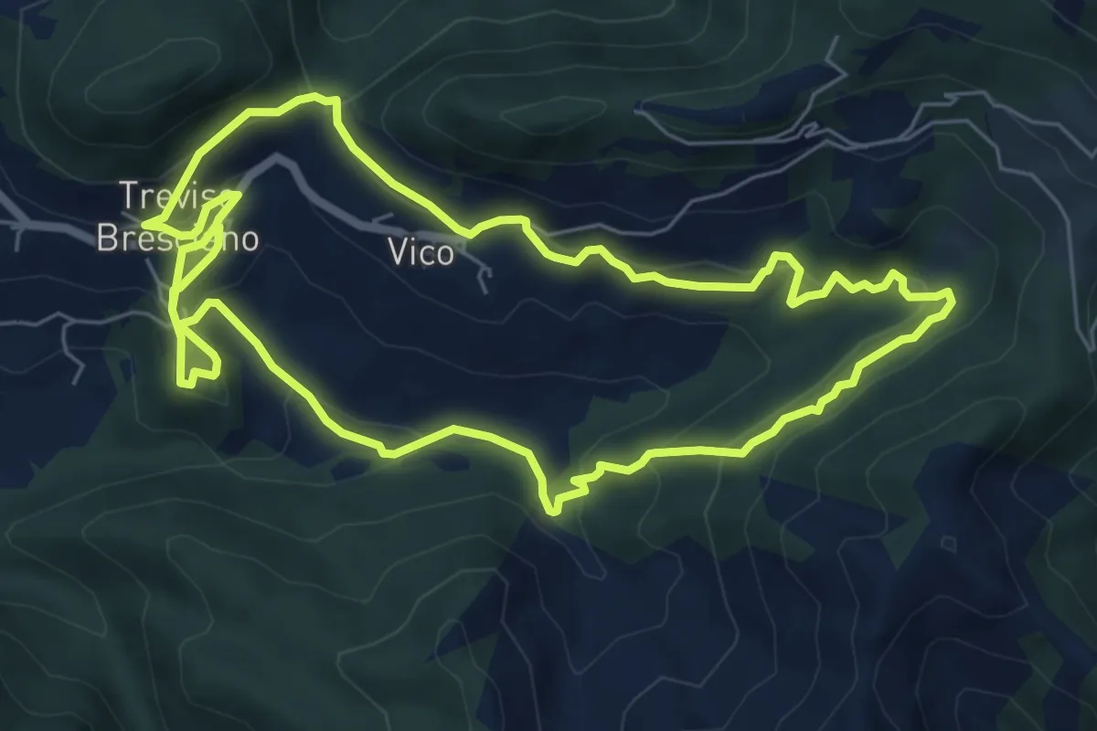
Medium · Trail
Valle dei Morti
6.5 km · ↑ 407 m · 2 h 30 min · 13 km away
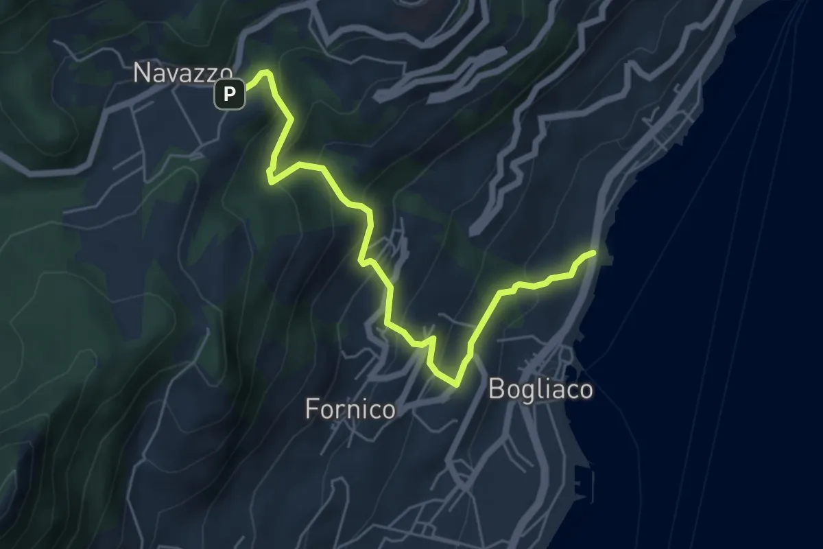
Medium · Trail
Ex caserma Bogliaco (Gargnano) - Navazzo (Gargnano)
5.6 km · ↑ 407 m · 2 h 12 min · 13 km away
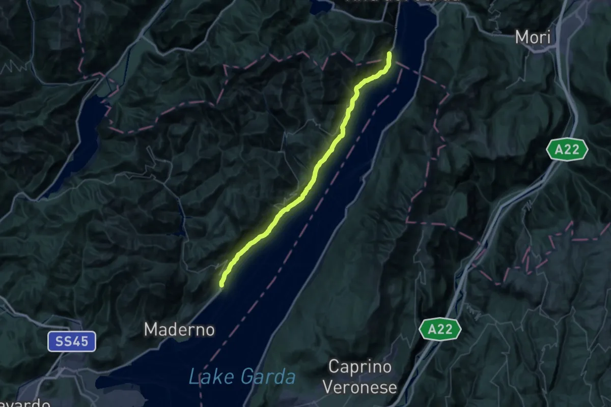
Demanding · Trail
Vecchia Gardesana
25.5 km · ↑ 2646 m · 12 h 6 min · 13 km away
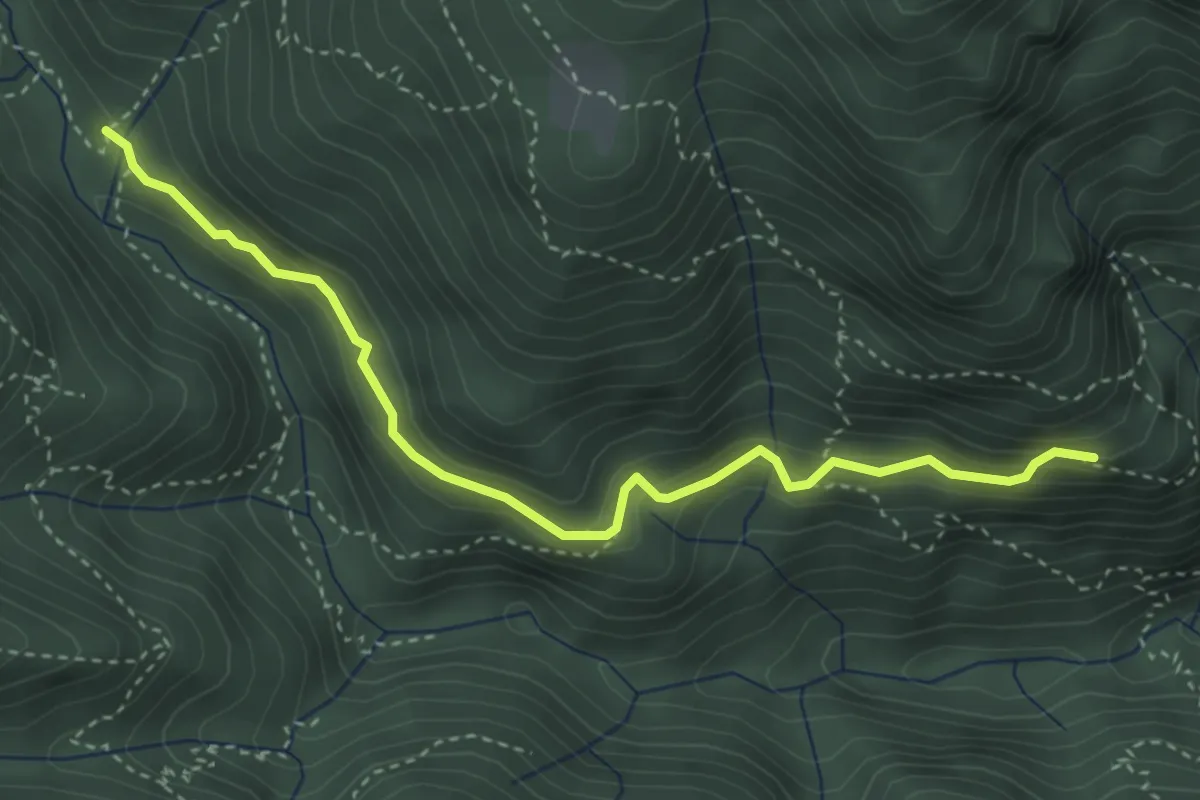
Medium · Trail
Sentiero del Cuel Sant Grand
3.9 km · ↑ 273 m · 1 h 31 min · 13 km away
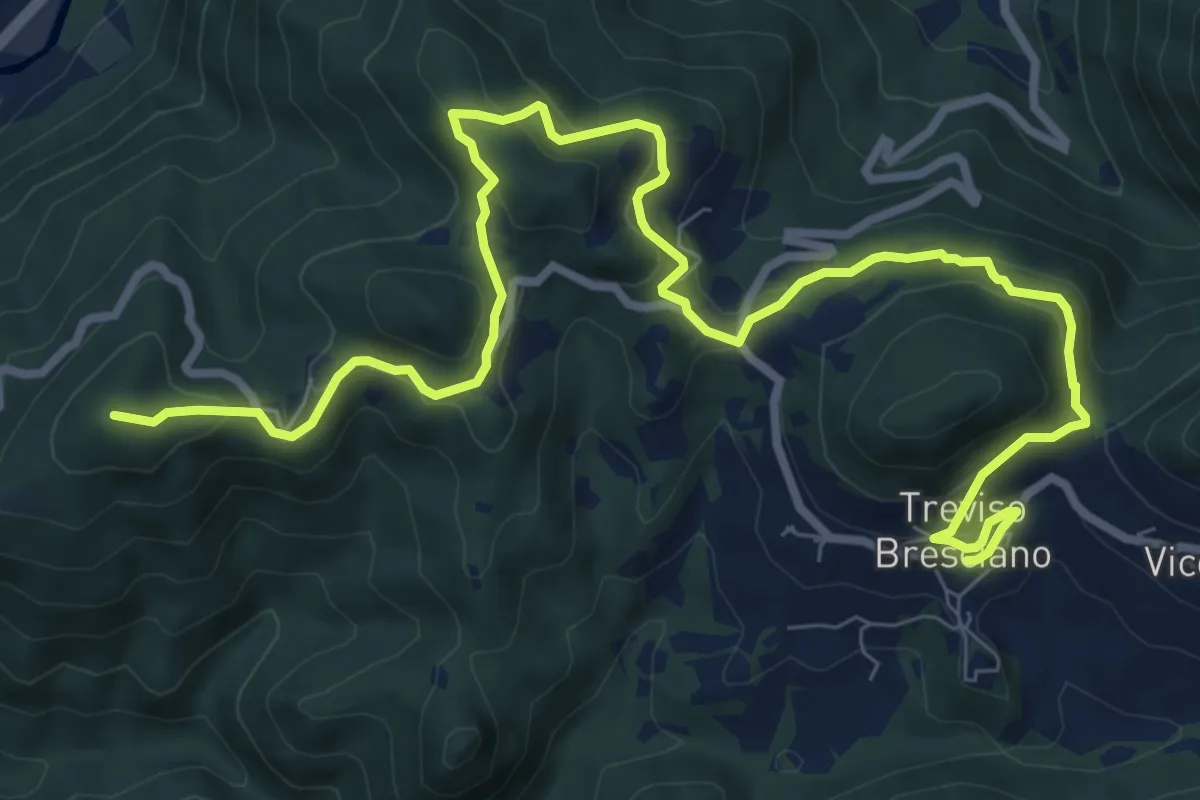
Medium · Summit
550V AVS variante
11.9 km · ↑ 593 m · 4 h 5 min · 13 km away
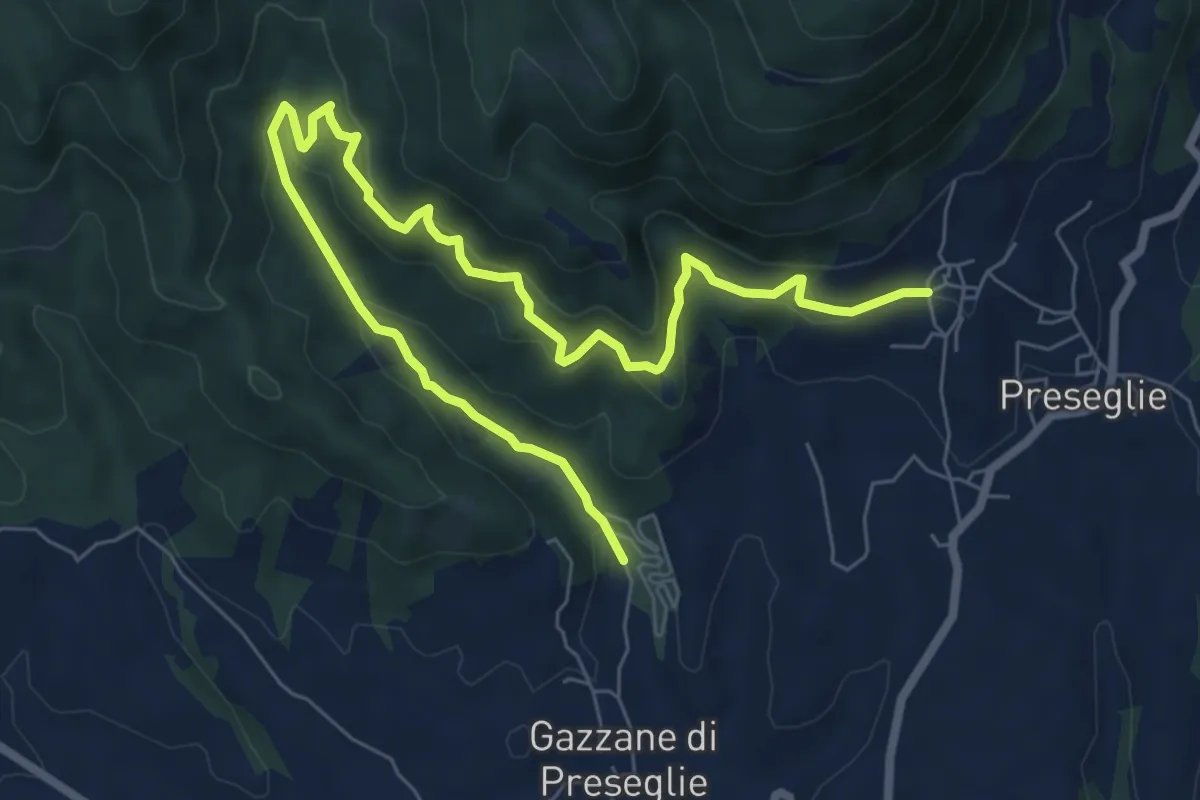
Medium · Trail
Loc. Piazza - Preseglie – Loc. Galaello - Gazzane
9.6 km · ↑ 509 m · 3 h 21 min · 13 km away
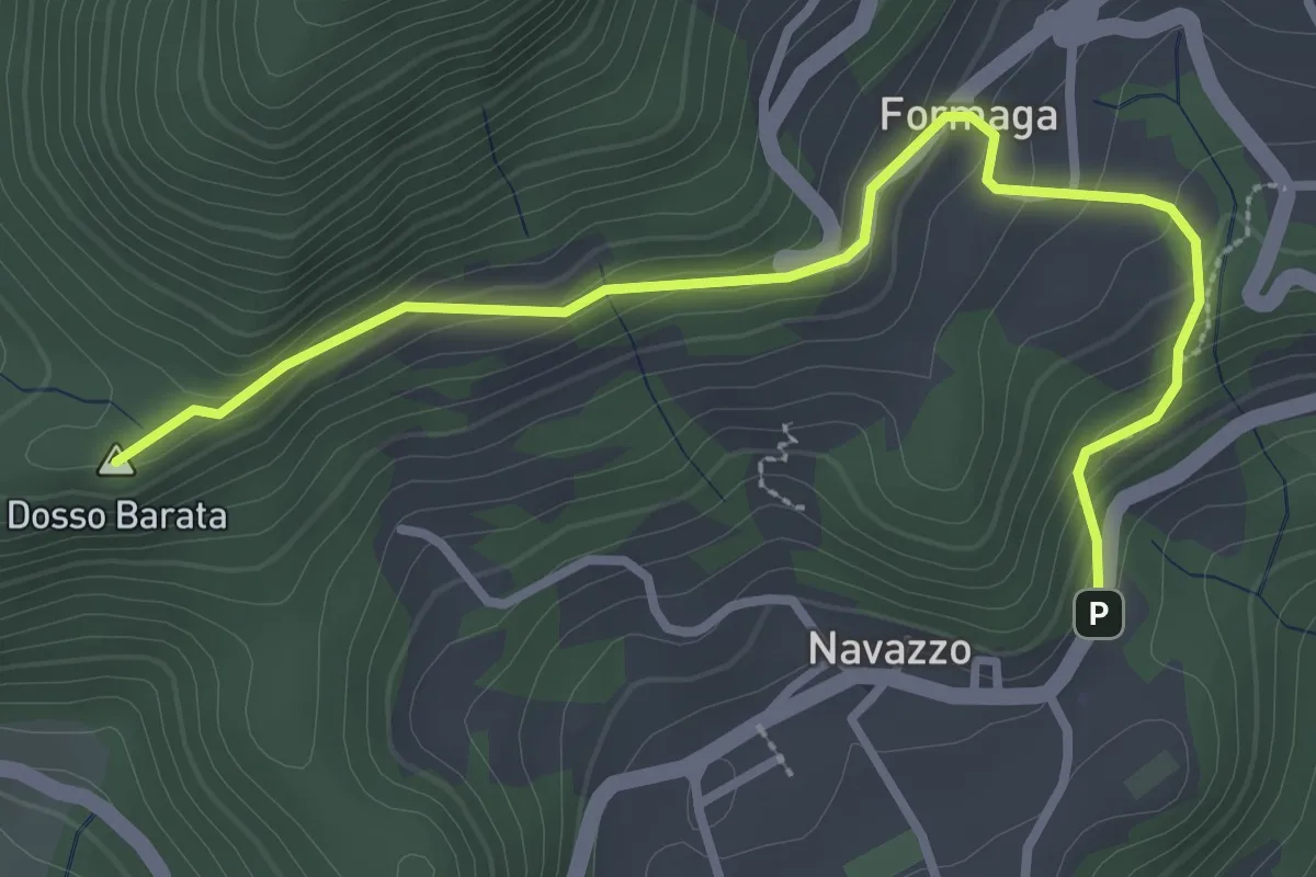
Easy · Summit
Navazzo - Primo ponte Valvestino
3.4 km · ↑ 230 m · 1 h 18 min · 13 km away
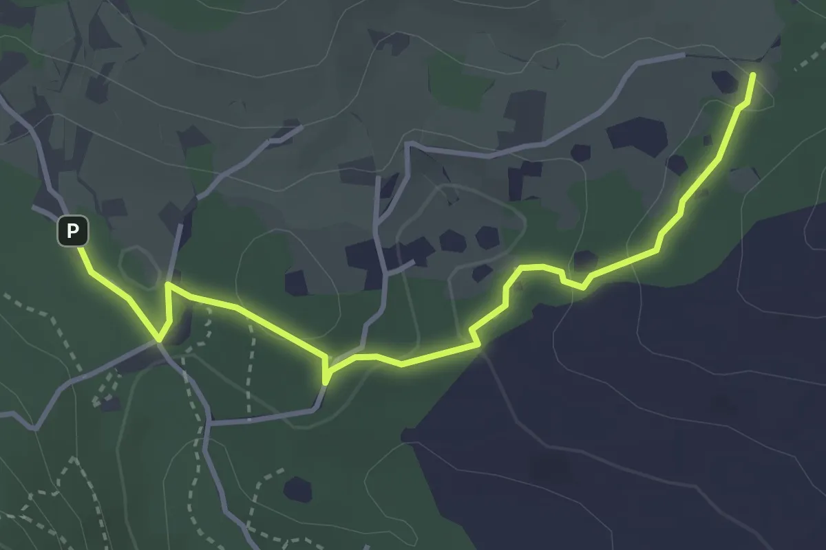
Easy · Trail
Sentiero del Büs del Lat
3.9 km · ↑ 74 m · 1 h 4 min · 13 km away
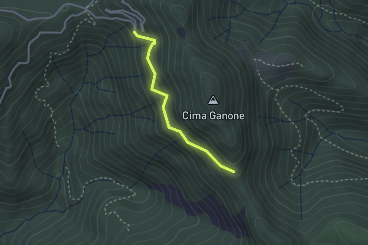
Medium · Trail
Sentiero di Ganone
2.1 km · ↑ 182 m · 53 min · 13 km away
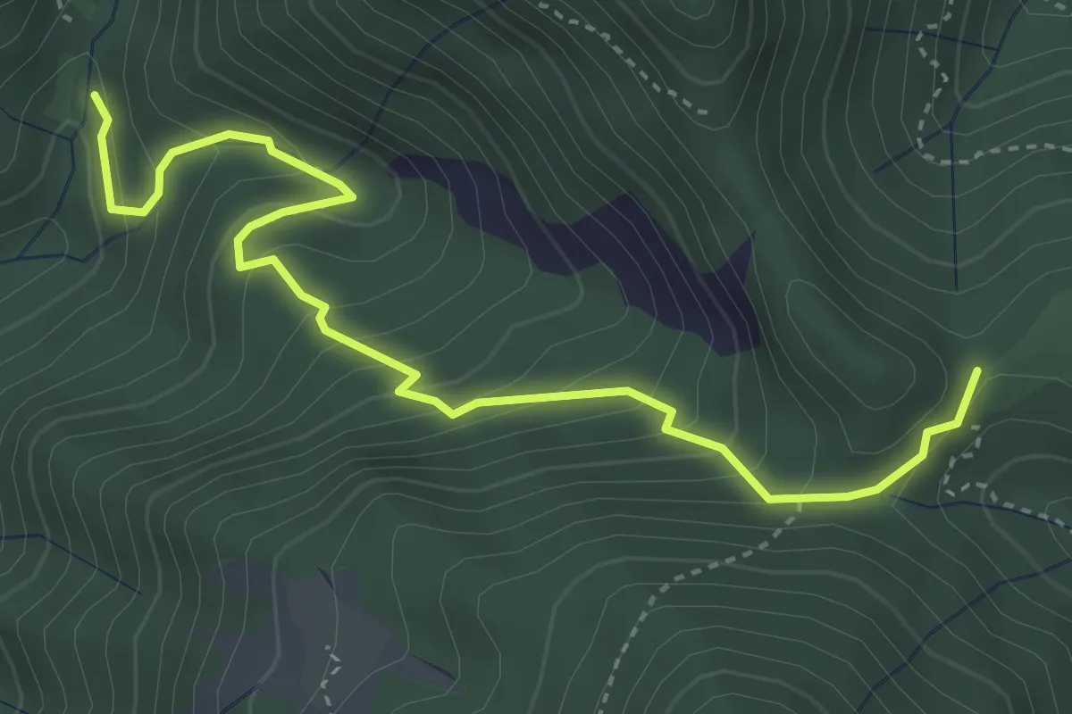
Medium · Trail
Sentiero del Fienile Resto
4.3 km · ↑ 376 m · 1 h 50 min · 13 km away
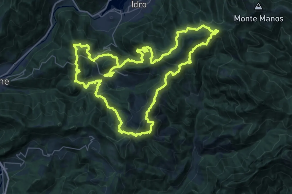
Demanding · Summit
Sentiero della Resistenza dei Caduti Trevigiani
25.6 km · ↑ 1574 m · 9 h 51 min · 13 km away
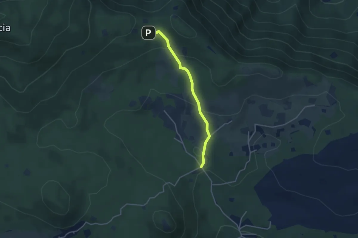
Easy · Cabin
Serle (Rifugio Alpini di Serle) - Monte Ucia - Corna di Caino
2.9 km · ↑ 122 m · 57 min · 13 km away
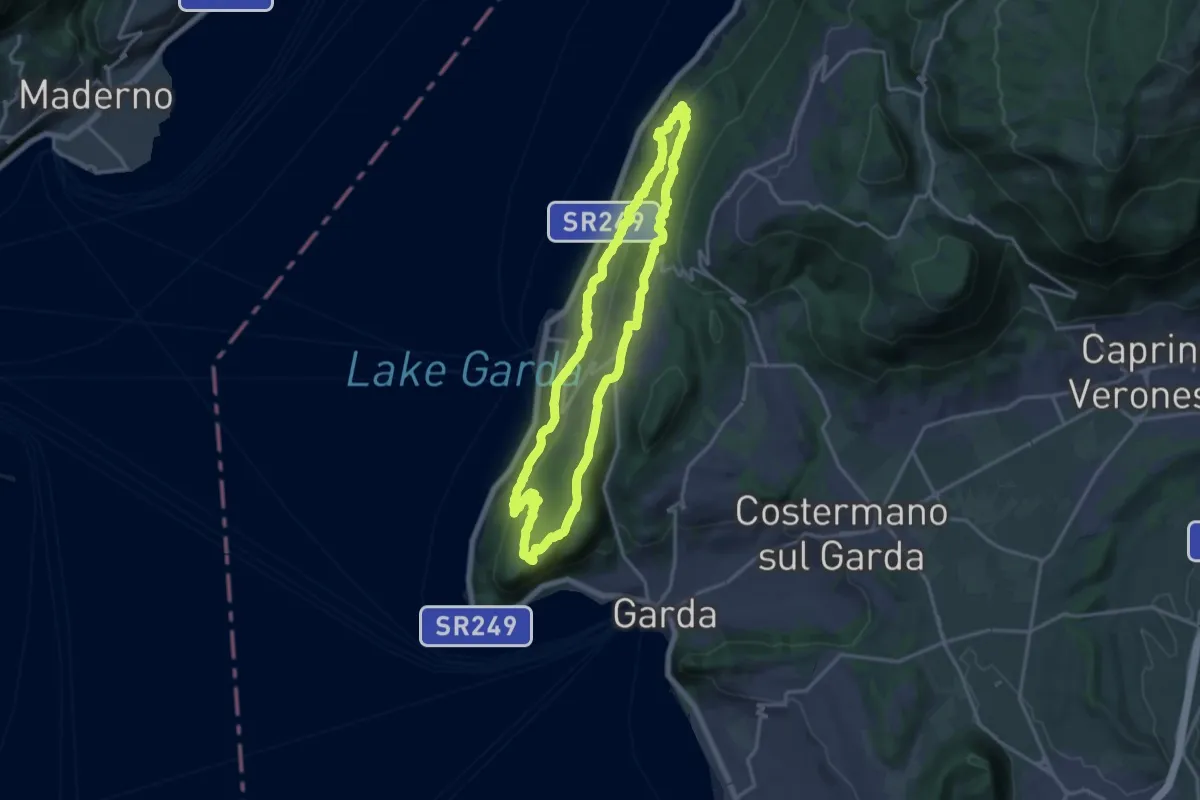
Medium · Summit
Giro del Crero (Torri del Benaco)
16.1 km · ↑ 532 m · 5 h 10 min · 13 km away
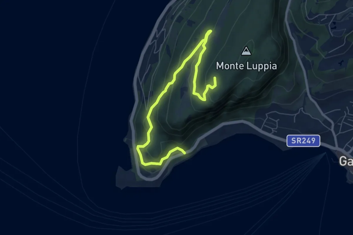
Medium · Summit
San Vigilio - Sengie - Graffitti
8.0 km · ↑ 356 m · 2 h 40 min · 13 km away
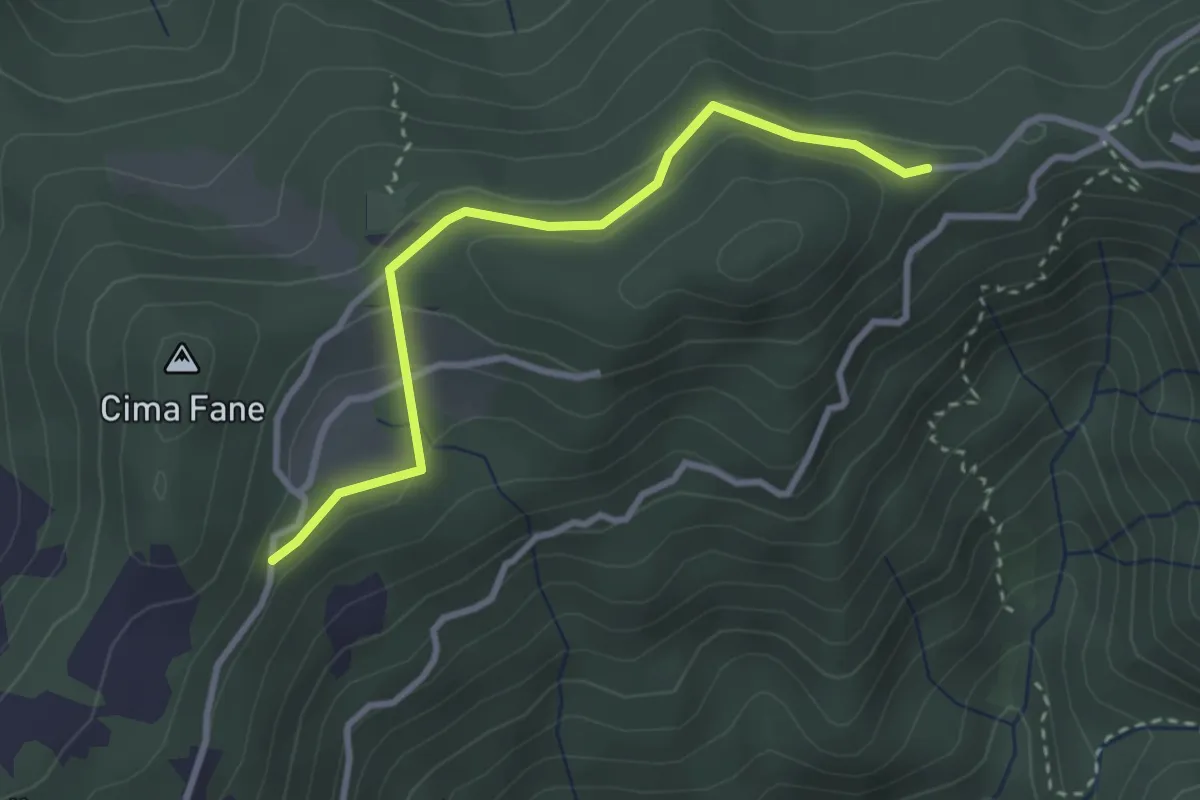
Easy · Trail
Eno - Passo del Cavallino - Eno
1.5 km · ↑ 61 m · 29 min · 13 km away
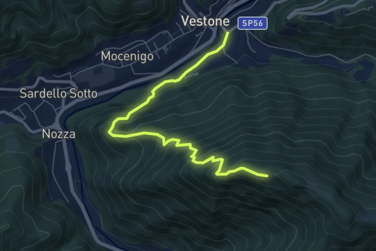
Medium · Trail
Monte Colmo – Vestone
7.1 km · ↑ 619 m · 3 h 1 min · 13 km away
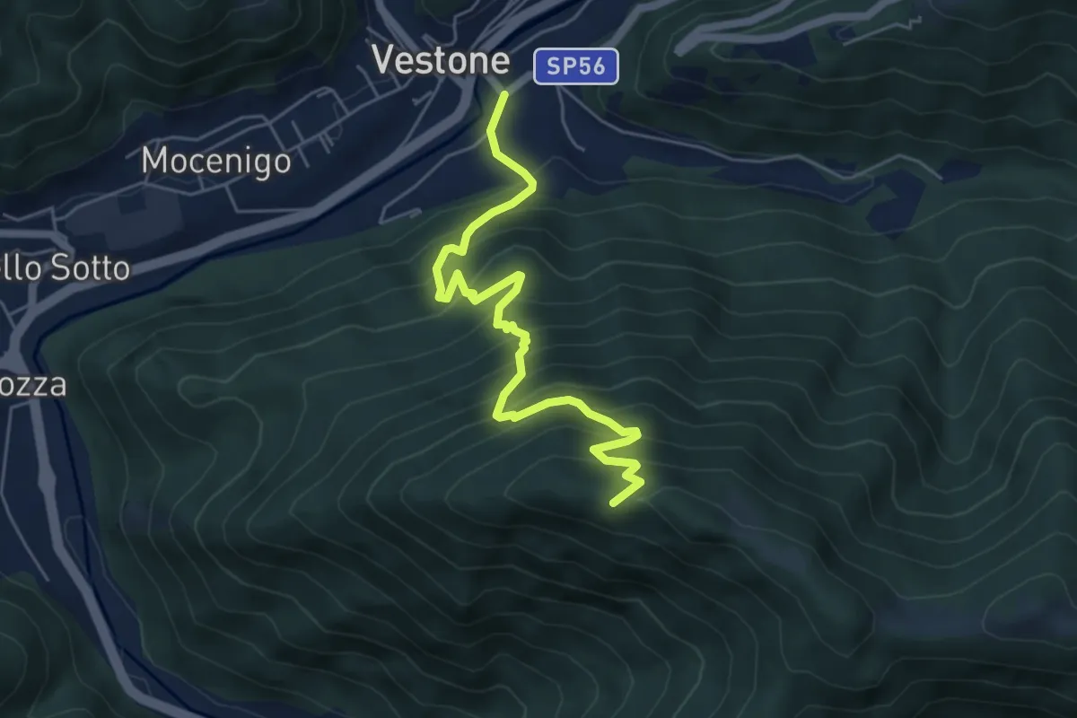
Medium · Trail
Vestone – Monte Colmo
5.7 km · ↑ 693 m · 2 h 52 min · 13 km away
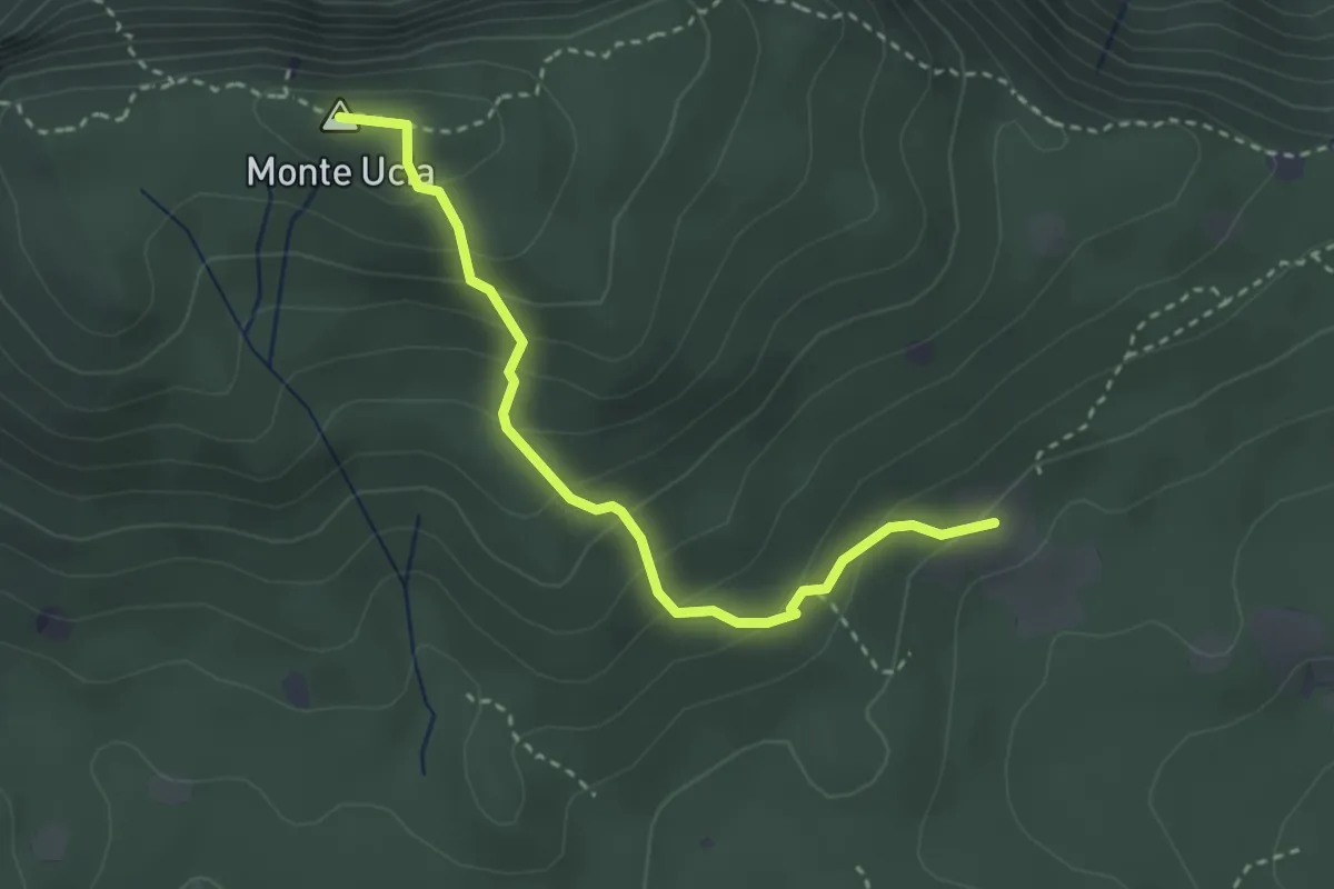
Easy · Summit
Serle (Cascina del Comune) - Corna di Caino
3.1 km · ↑ 265 m · 1 h 19 min · 13 km away
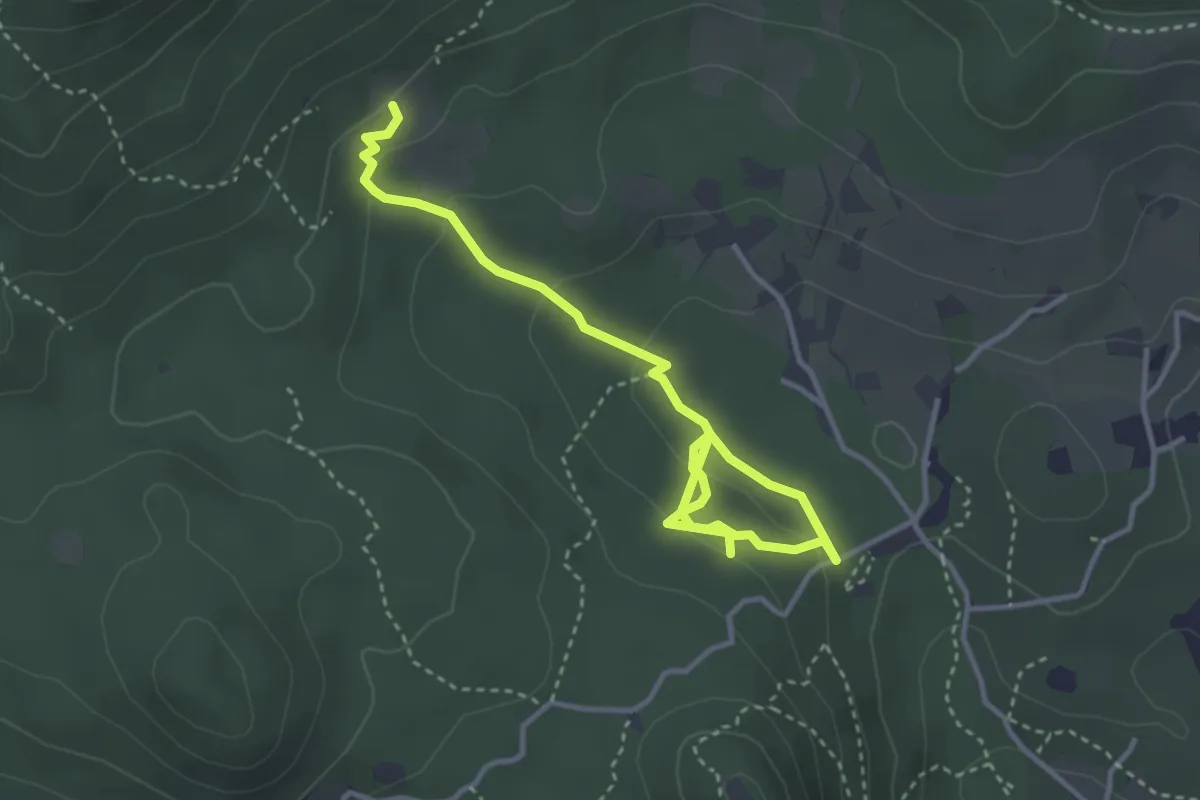
Easy · Trail
Sentiero degli Omber
2.2 km · ↑ 40 m · 40 min · 13 km away
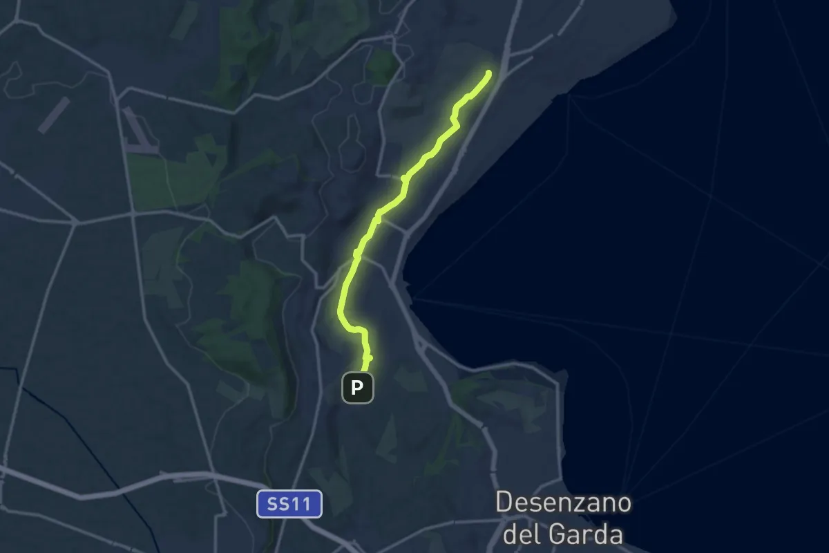
Medium · Trail
Maguzzano – Moniga
11.3 km · ↑ 61 m · 2 h 48 min · 13 km away
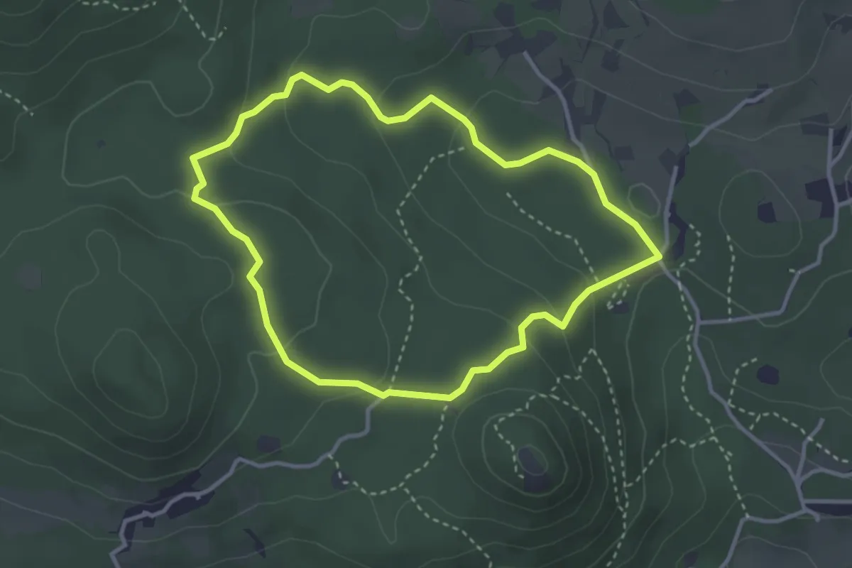
Easy · Trail
Serle (Grotta della Carbonella) - Büs de la Pocia
3.2 km · ↑ 108 m · 1 h 2 min · 13 km away
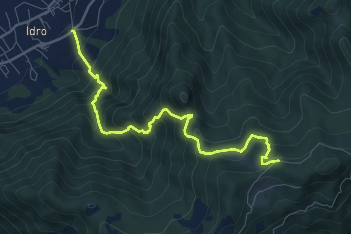
Medium · Trail
Idro (Crone) - Cavacca
7.6 km · ↑ 754 m · 3 h 25 min · 14 km away
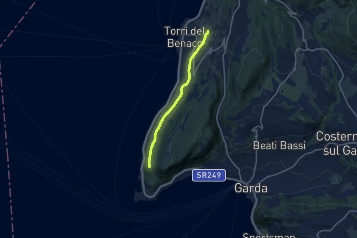
Medium · Trail
Monte Luppia
7.7 km · ↑ 138 m · 2 h 7 min · 14 km away
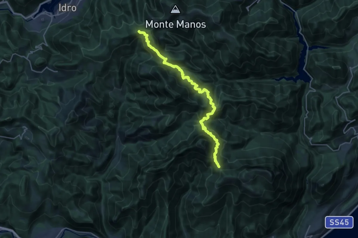
Demanding · Trail
Cavallino della Fobbia - Passo dello Spino
10.0 km · ↑ 813 m · 4 h 14 min · 14 km away
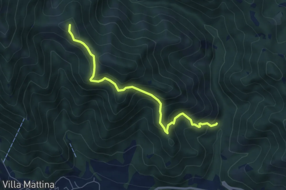
Medium · Summit
Caino (Val Bertone) – Boatica (Innesto Sentiero 381)
6.1 km · ↑ 507 m · 2 h 32 min · 14 km away
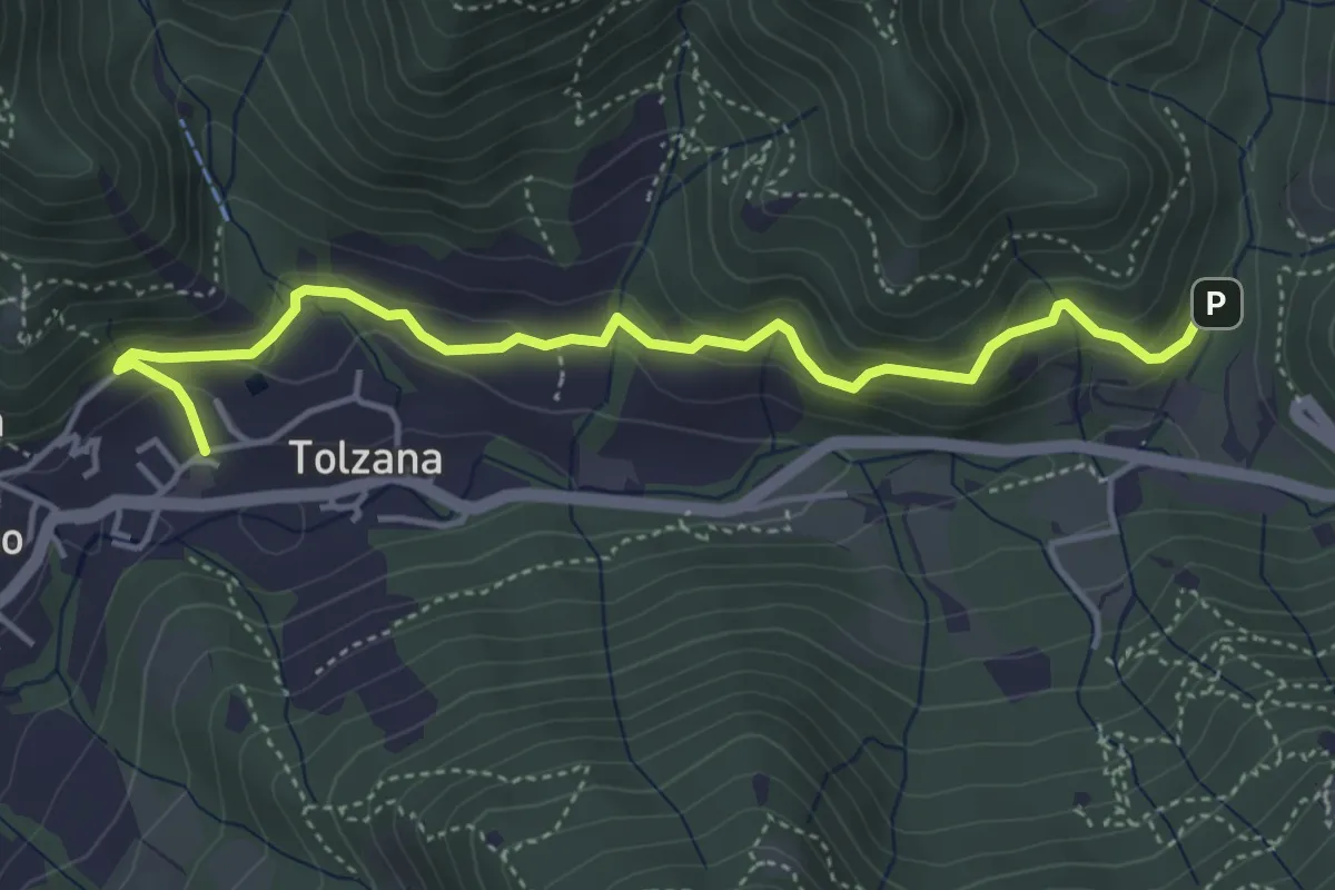
Easy · Trail
Caino – Val Bertone
4.7 km · ↑ 261 m · 1 h 41 min · 14 km away
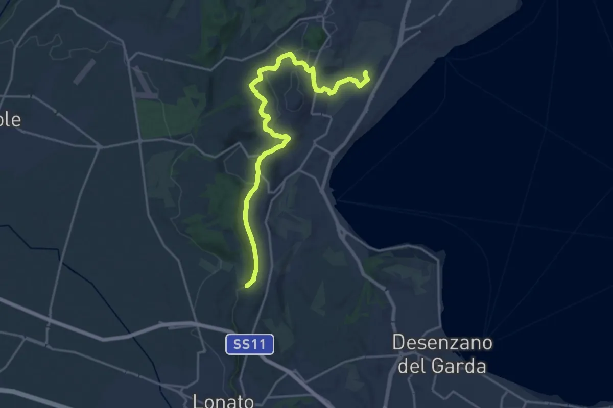
Medium · Trail
Barcuzzi – Balosse
17.4 km · ↑ 263 m · 4 h 40 min · 14 km away
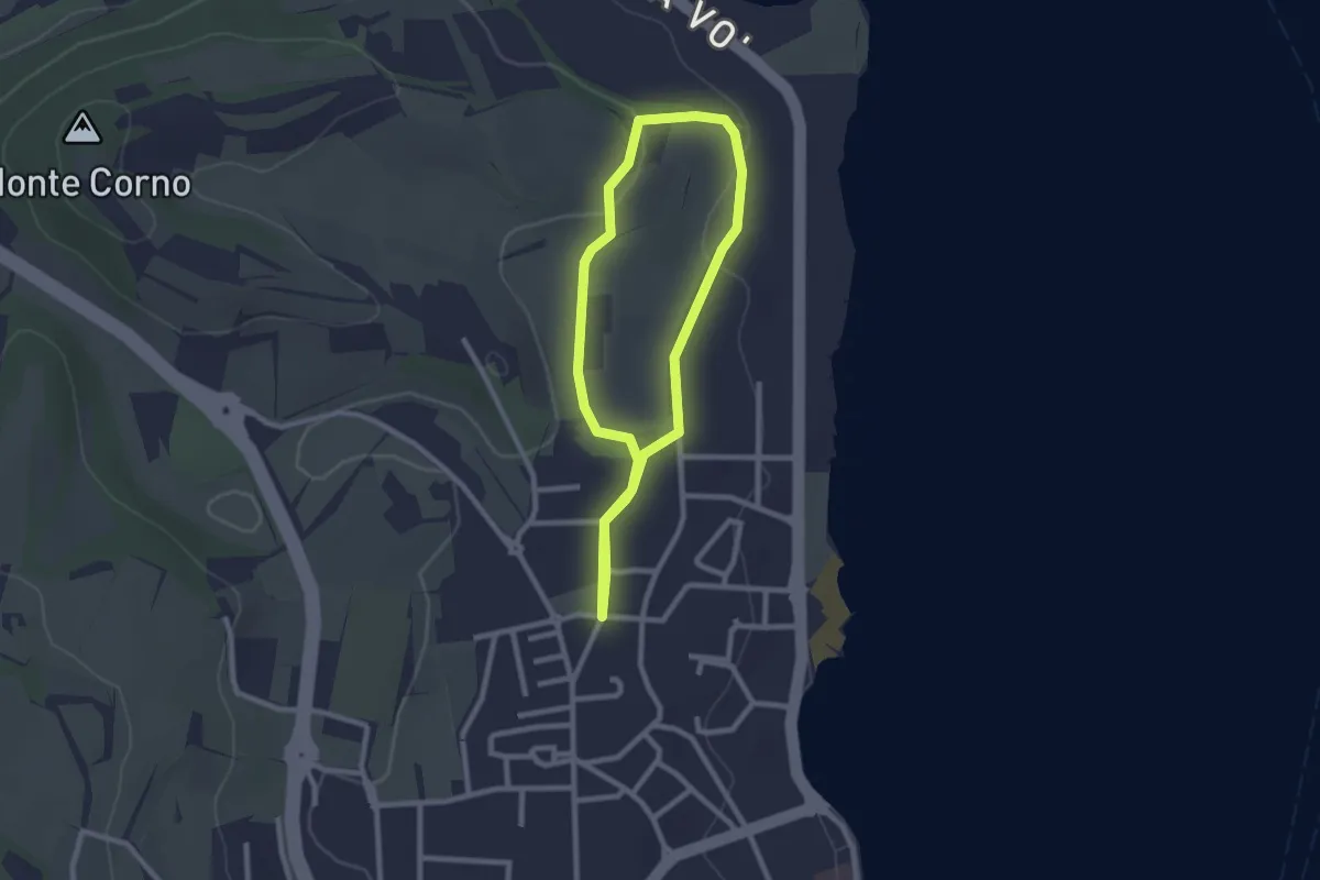
Easy · Trail
Anello del Madergnago
2.2 km · ↑ 21 m · 35 min · 14 km away
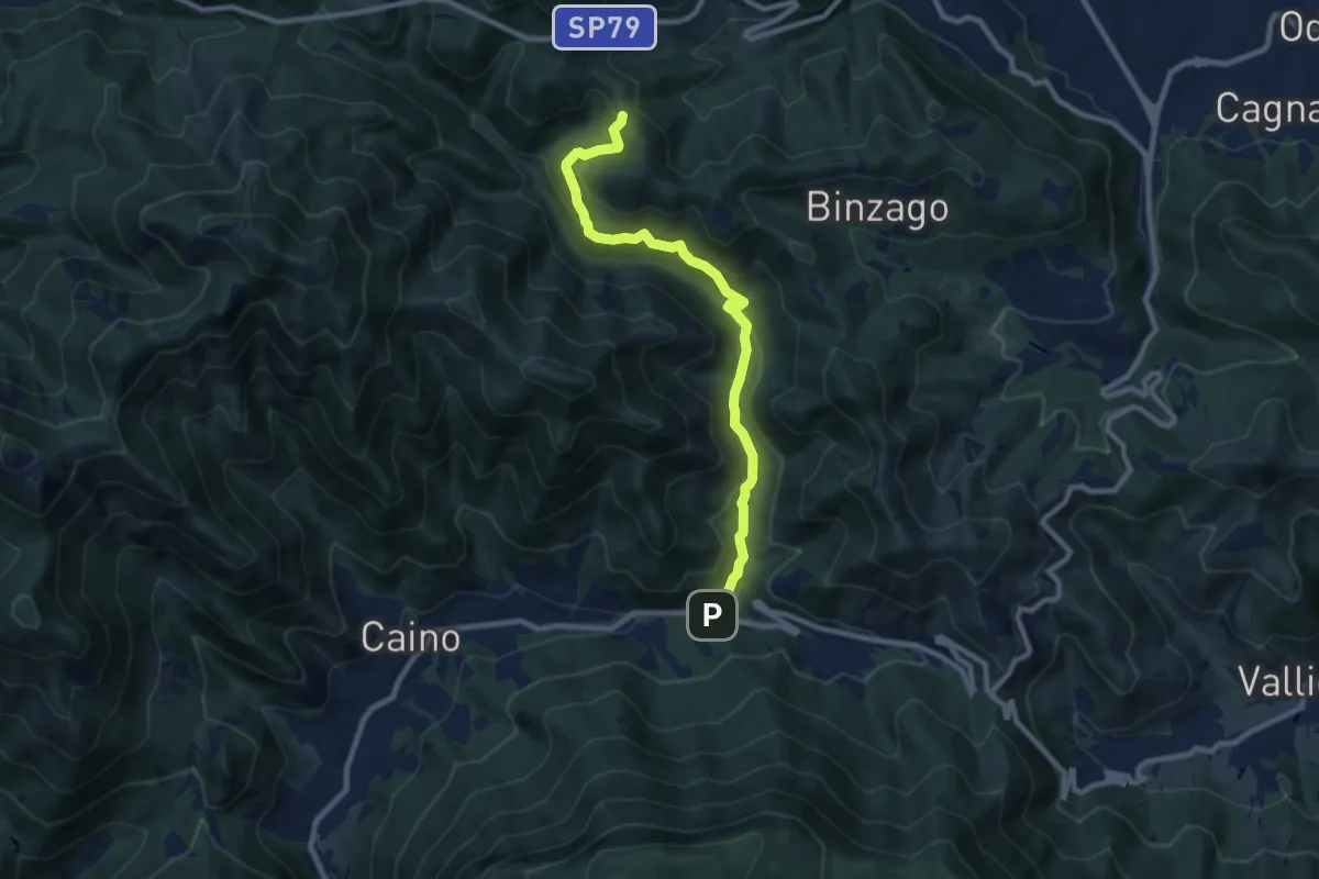
Medium · Trail
Caino (Val Bertone) – Passo Viglio
8.9 km · ↑ 525 m · 3 h 14 min · 14 km away
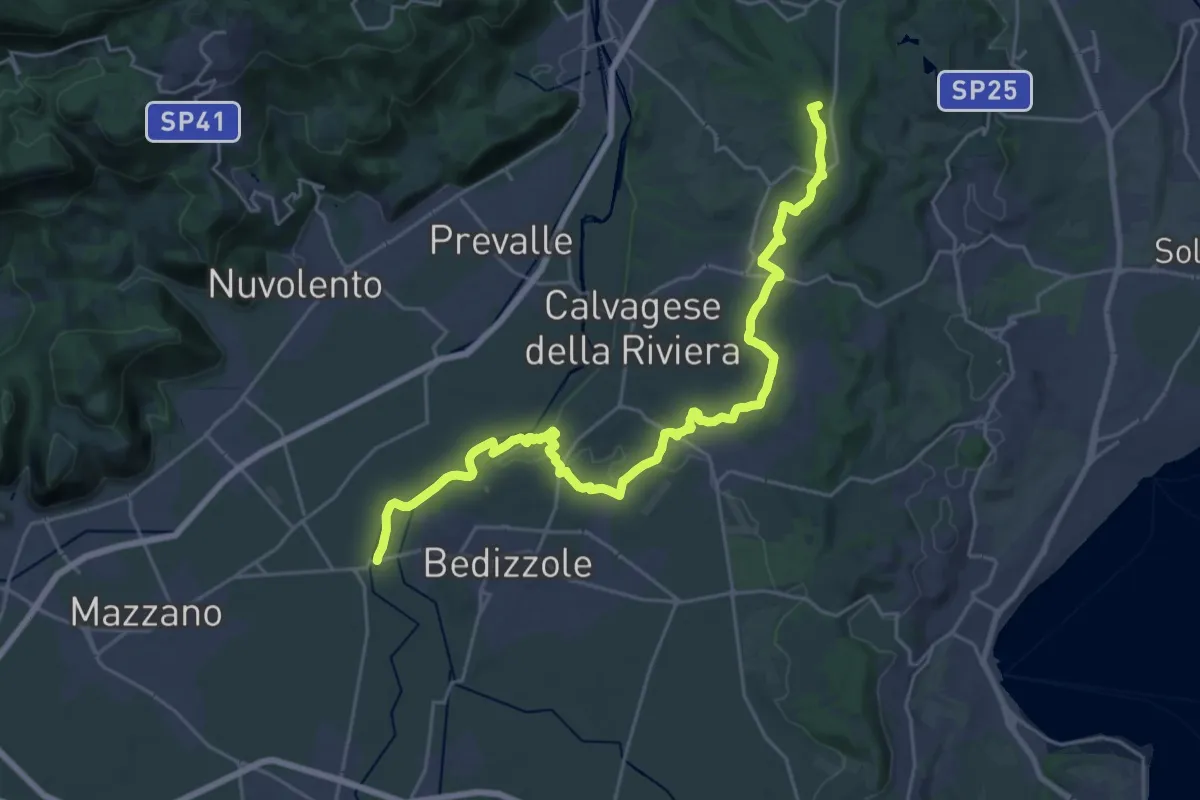
Demanding · Summit
Via delle Colline Moreniche
28.7 km · ↑ 381 m · 7 h 37 min · 14 km away