Trails near Salò
209 hikes starting within 15 km, nearest first.
Nearest first, page 5 of 5
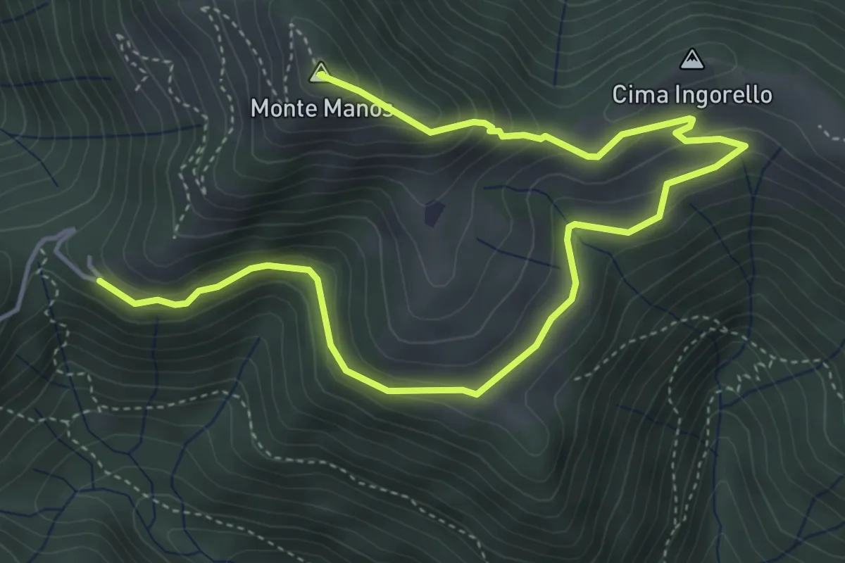
Medium · Summit
Capovalle (Passo di San Rocco) – Fienile del Veronese - Coccaveglie
6.3 km · ↑ 394 m · 2 h 21 min · 14 km away
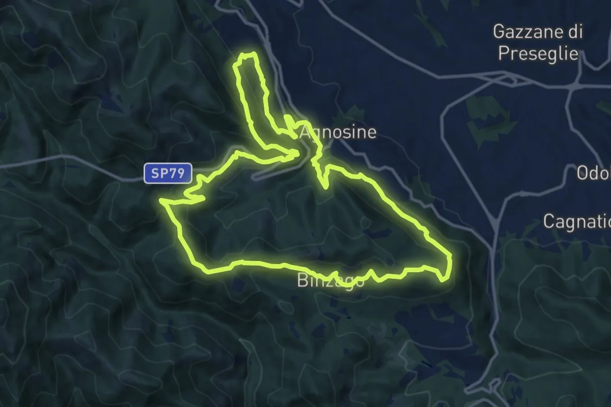
Medium · Summit
Sentiero Tranquillo Bianchi e Caduti per la Libertà di Lumezzane - Tronco A
12.3 km · ↑ 658 m · 4 h 31 min · 14 km away
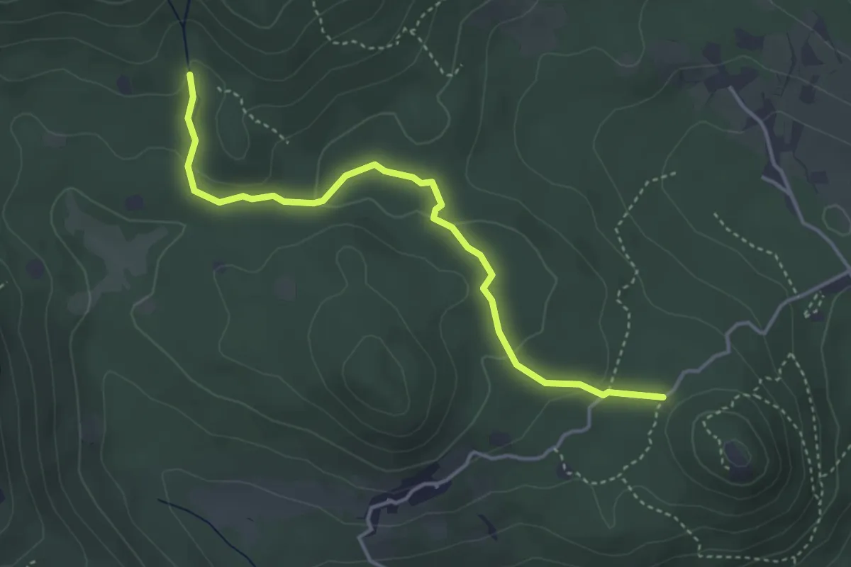
Easy · Trail
Serle (Santuario di San Bartolomeo) - Monte Ucia
4.1 km · ↑ 123 m · 1 h 14 min · 14 km away
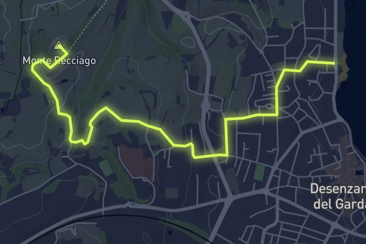
Easy · Summit
Barcuzzi (Via Valsorda) – Desenzano del Garda (Desenzanino)
7.6 km · ↑ 133 m · 2 h 4 min · 14 km away
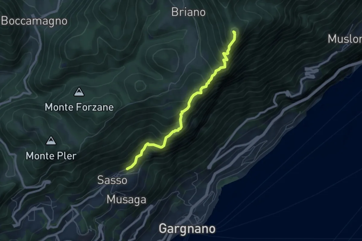
Demanding · Summit
Sasso (Gargnano) – Bocca di Premaur (Gargnano)
5.9 km · ↑ 727 m · 2 h 58 min · 14 km away
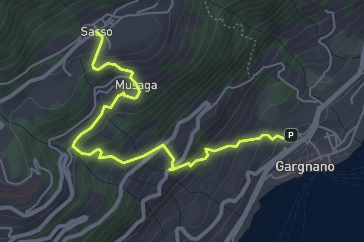
Medium · Trail
Gargnano - Sasso
4.9 km · ↑ 474 m · 2 h 11 min · 14 km away
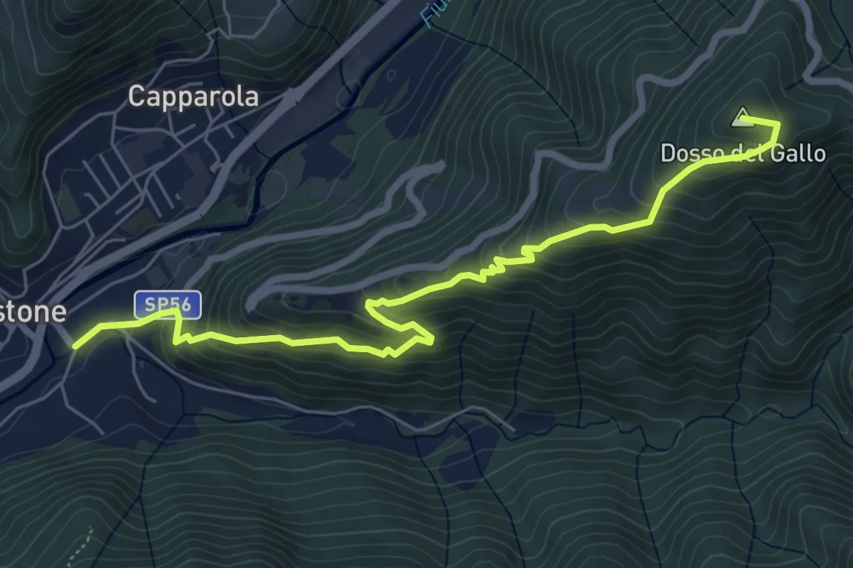
Medium · Summit
Vestone – Treviso B.no, San Liberale
6.6 km · ↑ 510 m · 2 h 40 min · 15 km away
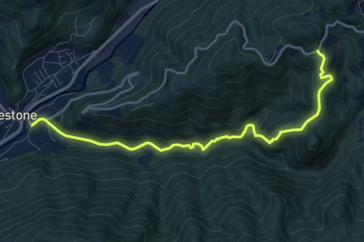
Medium · Trail
Vestone – San Liberale
9.3 km · ↑ 509 m · 3 h 18 min · 15 km away
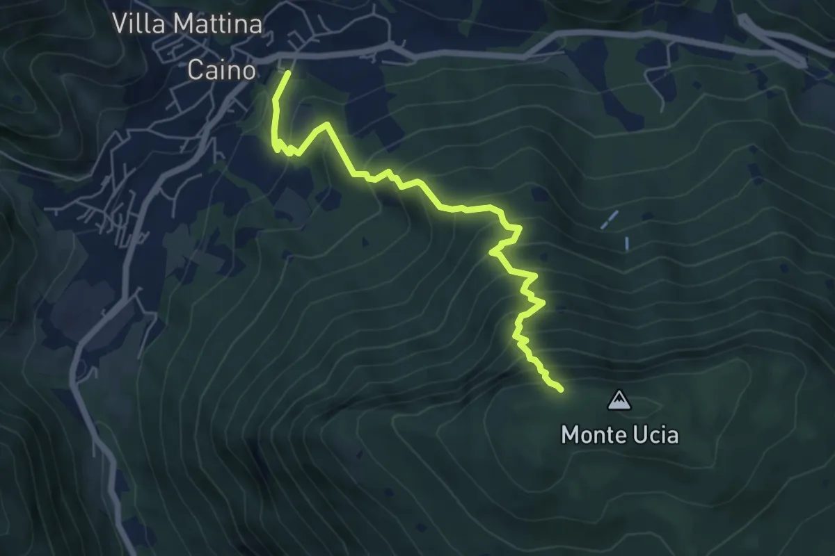
Demanding · Trail
Caino – Monte Ucia (Innesto Sentiero 391)
5.7 km · ↑ 736 m · 2 h 56 min · 15 km away
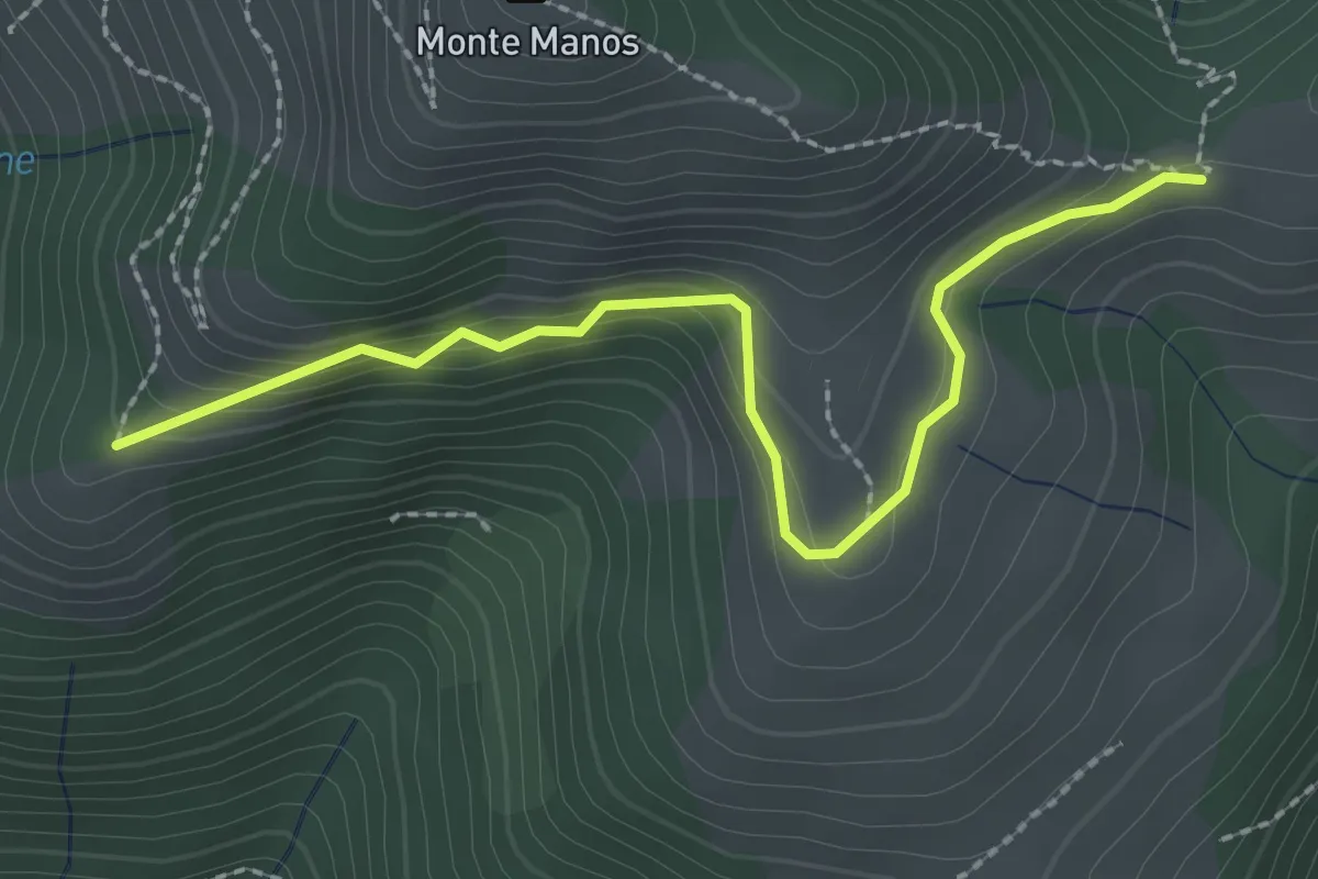
Easy · Trail
Strada del Manos
2.5 km · ↑ 155 m · 56 min · 15 km away
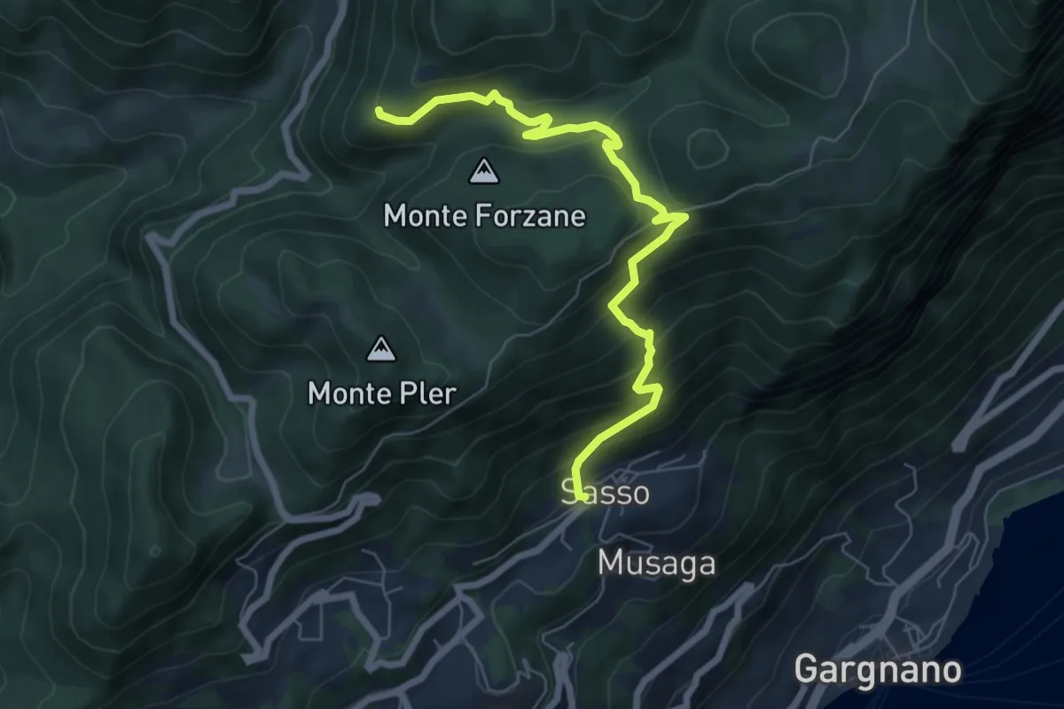
Medium · Trail
Sasso, Monte Caminala
6.7 km · ↑ 557 m · 2 h 48 min · 15 km away
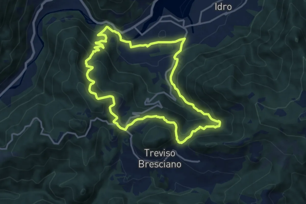
Medium · Trail
Pieve di Idro – Pieve di Idro
9.7 km · ↑ 603 m · 3 h 44 min · 15 km away
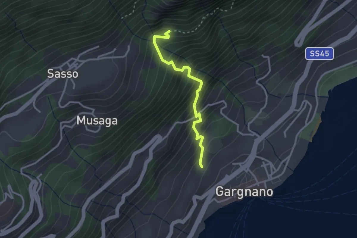
Medium · Trail
Via Quarcina - Gargnano – BVG - Sisengla
2.4 km · ↑ 375 m · 1 h 23 min · 15 km away
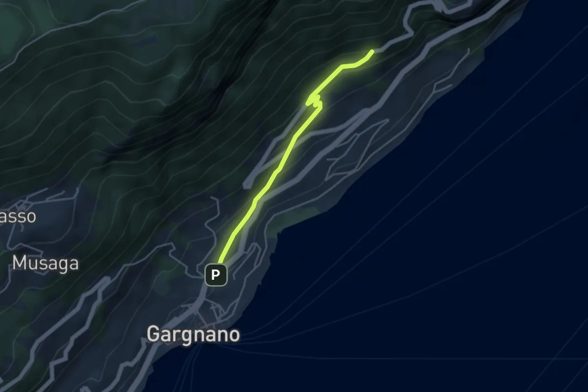
Easy · Trail
Via Crocifisso - Gargnano
1.8 km · ↑ 193 m · 46 min · 15 km away
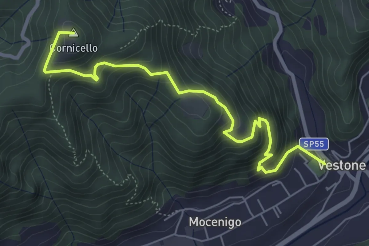
Medium · Summit
Vestone – San Bernardo
5.9 km · ↑ 514 m · 2 h 31 min · 15 km away
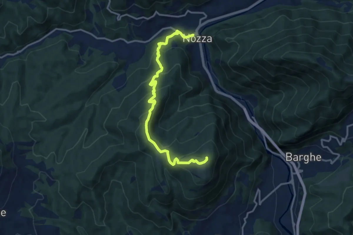
Medium · Summit
Nozza – Monte Poffe
9.7 km · ↑ 605 m · 3 h 37 min · 15 km away
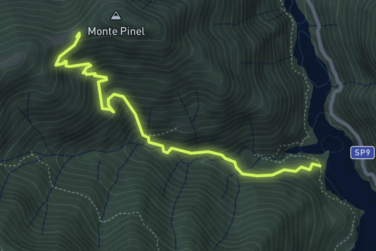
Demanding · Trail
Sentiero di Val di Fassane
5.2 km · ↑ 546 m · 2 h 25 min · 15 km away