Trails near San Pellegrino Terme
314 hikes starting within 15 km, nearest first.
Nearest first, page 1 of 7
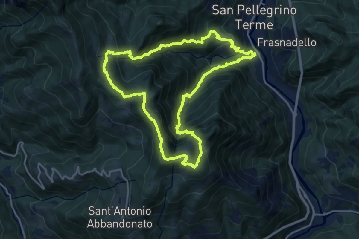
Demanding · Summit
San Pellegrino – San Pellegrino
10.7 km · ↑ 979 m · 4 h 47 min · 1 km away
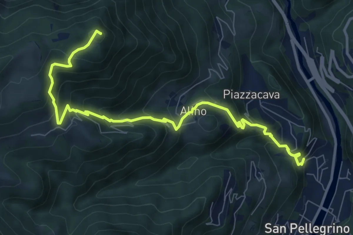
Medium · Summit
Alino (San Pellegrino) – Monte Molinasco
8.7 km · ↑ 729 m · 3 h 39 min · 1 km away
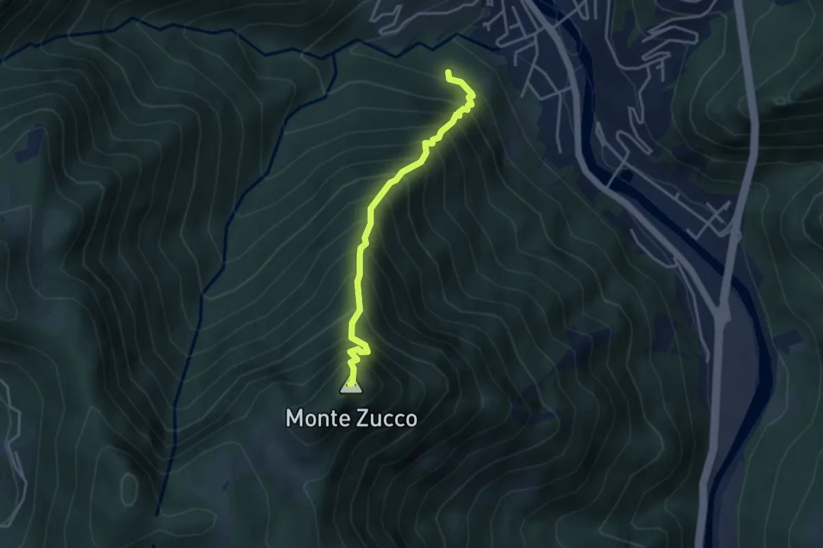
Expert · Summit
Sentiero Panoramico
3.2 km · ↑ 749 m · 2 h 23 min · 1 km away
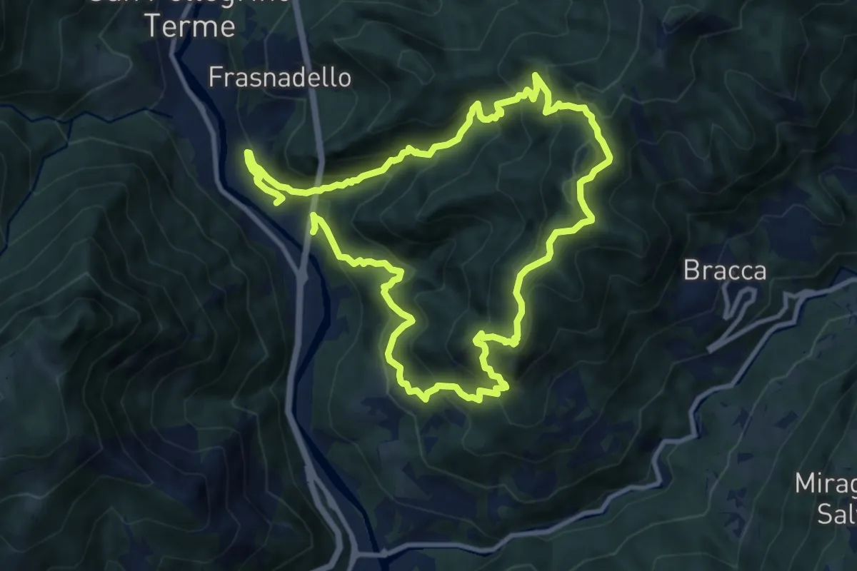
Expert · Summit
Pregalleno (San Pellegrino Terme) – Pregalleno
9.0 km · ↑ 836 m · 4 h 4 min · 1 km away
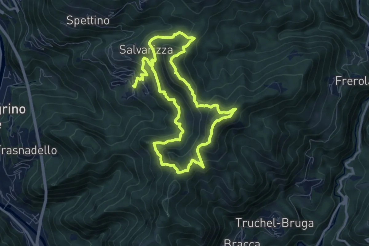
Demanding · Summit
Santa Croce – Santa Croce
7.3 km · ↑ 589 m · 3 h 2 min · 2 km away
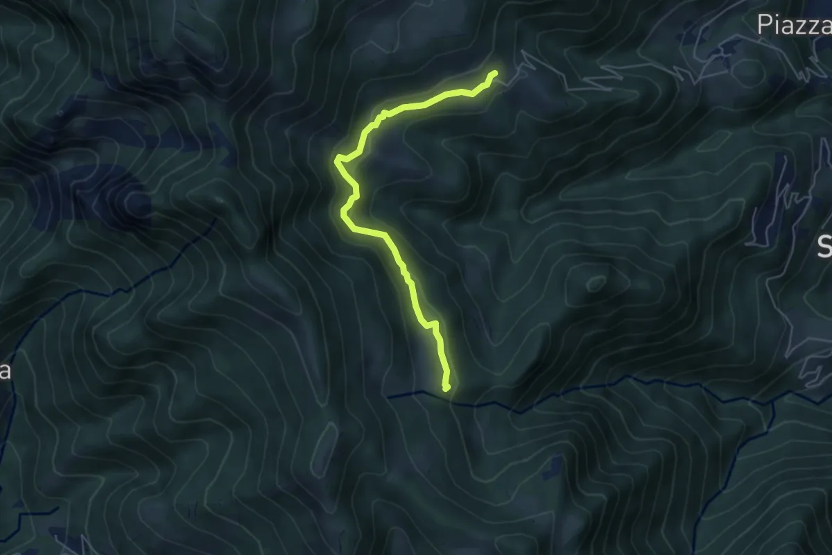
Easy · Trail
Sussia – Cà Boffelli
5.1 km · ↑ 243 m · 1 h 44 min · 2 km away
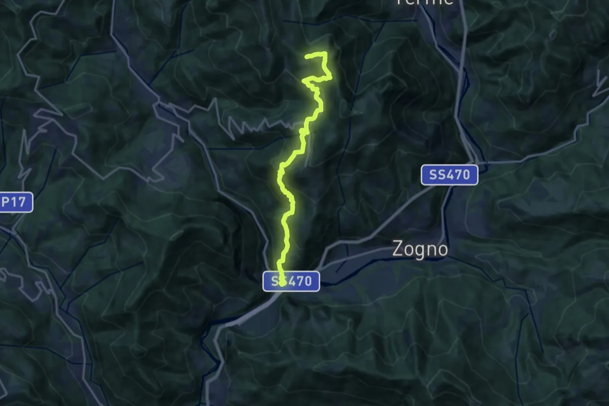
Demanding · Trail
Strada Taverna
13.8 km · ↑ 1035 m · 5 h 30 min · 3 km away
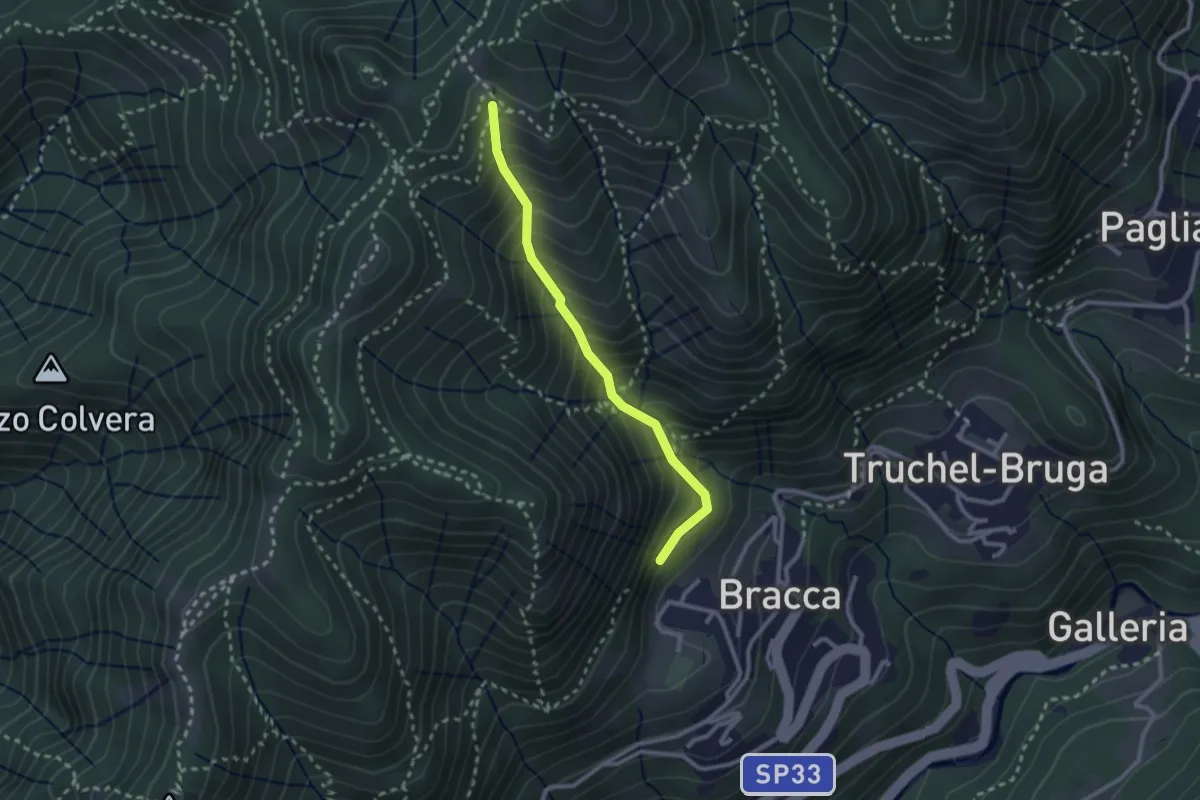
Medium · Trail
Incrocio 597 – Incrocio 597
2.4 km · ↑ 348 m · 1 h 19 min · 3 km away
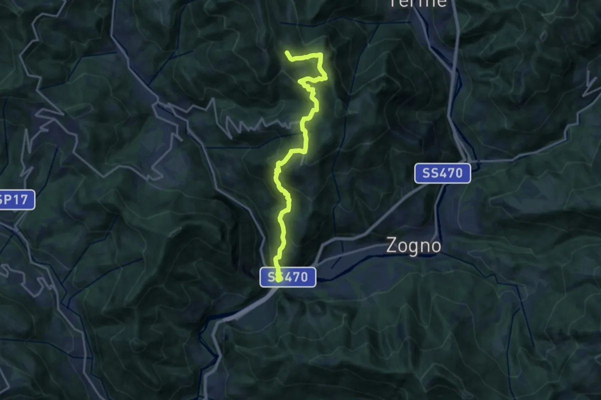
Demanding · Trail
Ponti di S. Antonio – Roccoli Spadì
14.5 km · ↑ 1073 m · 5 h 45 min · 3 km away
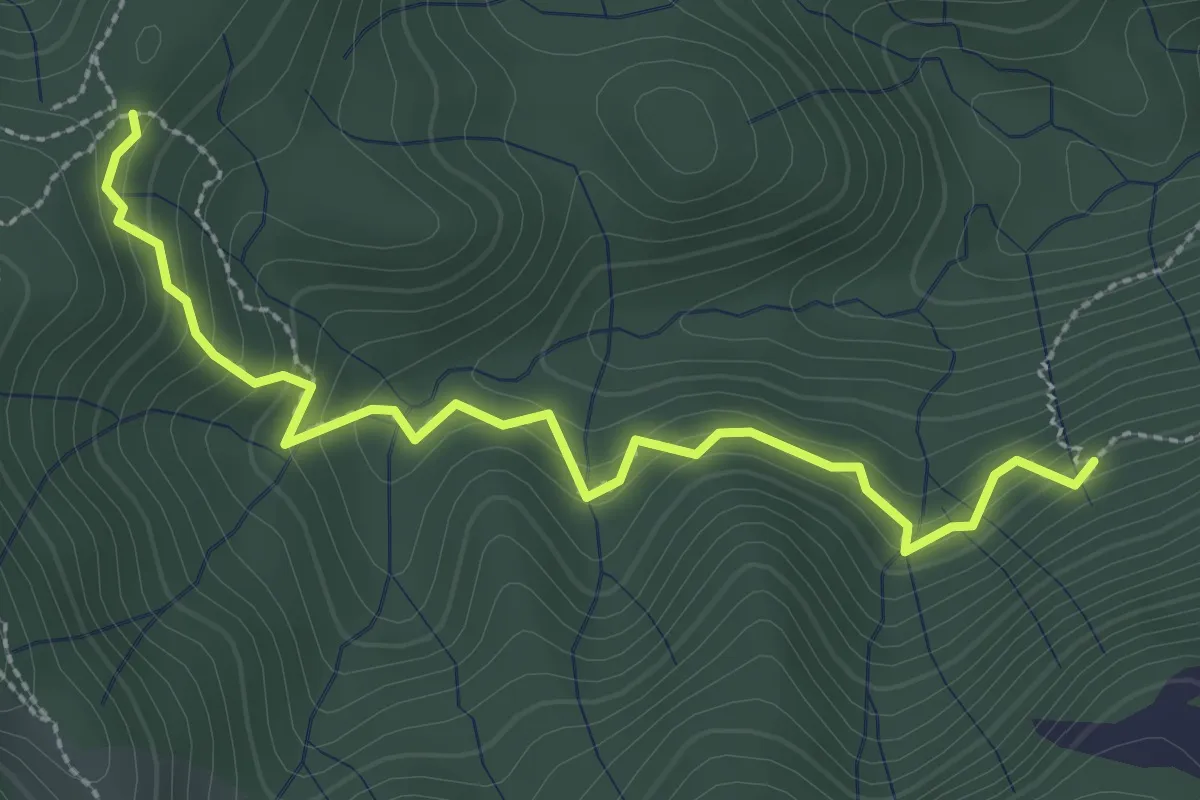
Medium · Trail
Incrocio 593 – Incrocio 561/598
3.0 km · ↑ 277 m · 1 h 19 min · 3 km away
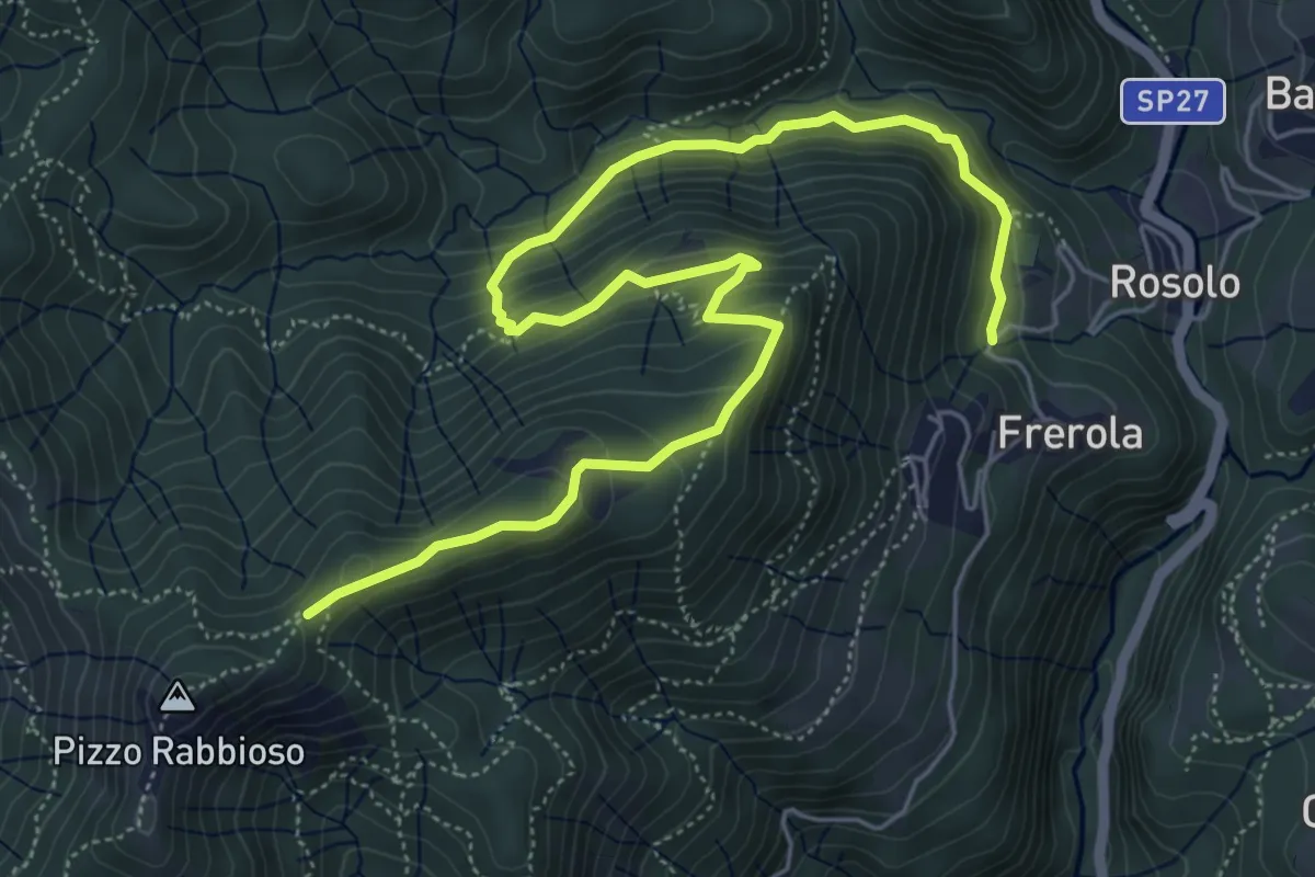
Medium · Trail
Frerola (Algua) – Pizzo Rabbioso
7.4 km · ↑ 493 m · 2 h 49 min · 3 km away
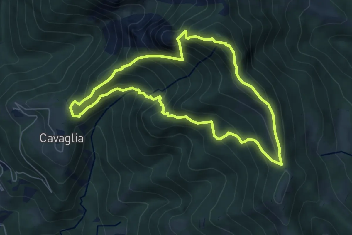
Medium · Summit
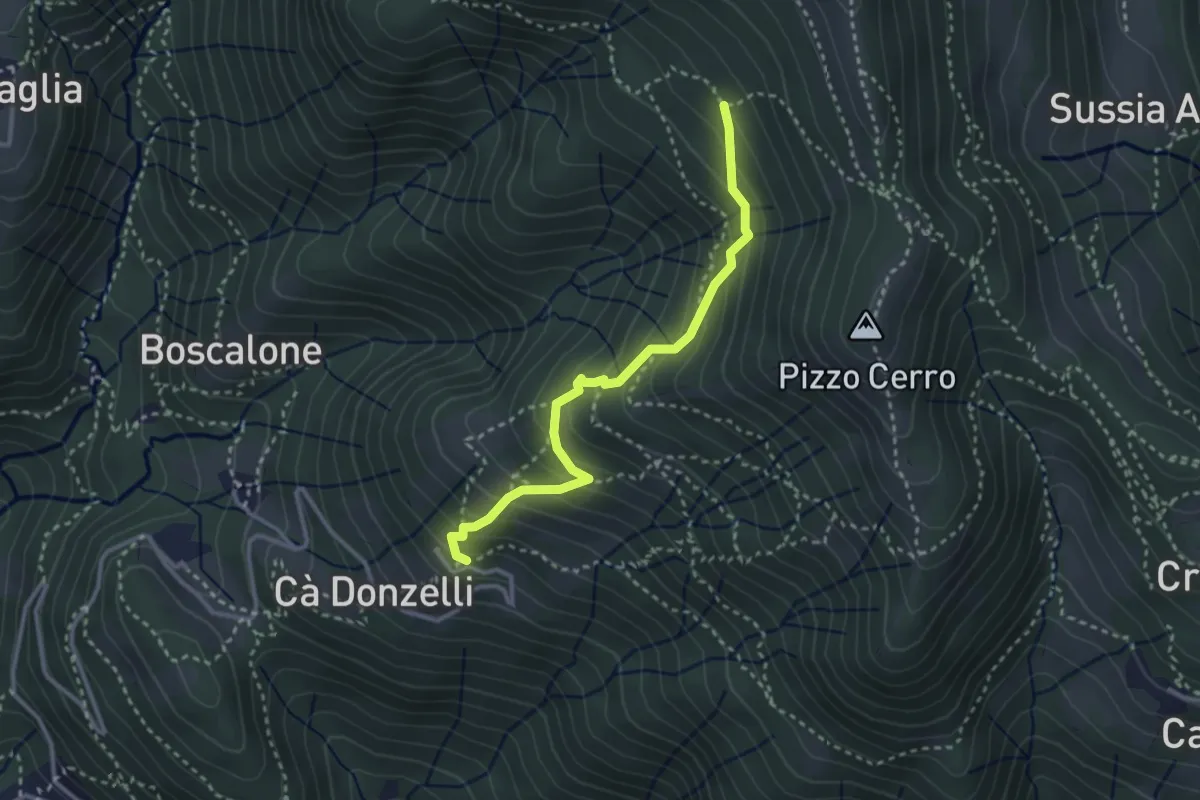
Cavaglia (Brembilla) – Cavaglia (Brembilla)
5.5 km · ↑ 600 m · 2 h 40 min · 3 km away
Medium · Trail
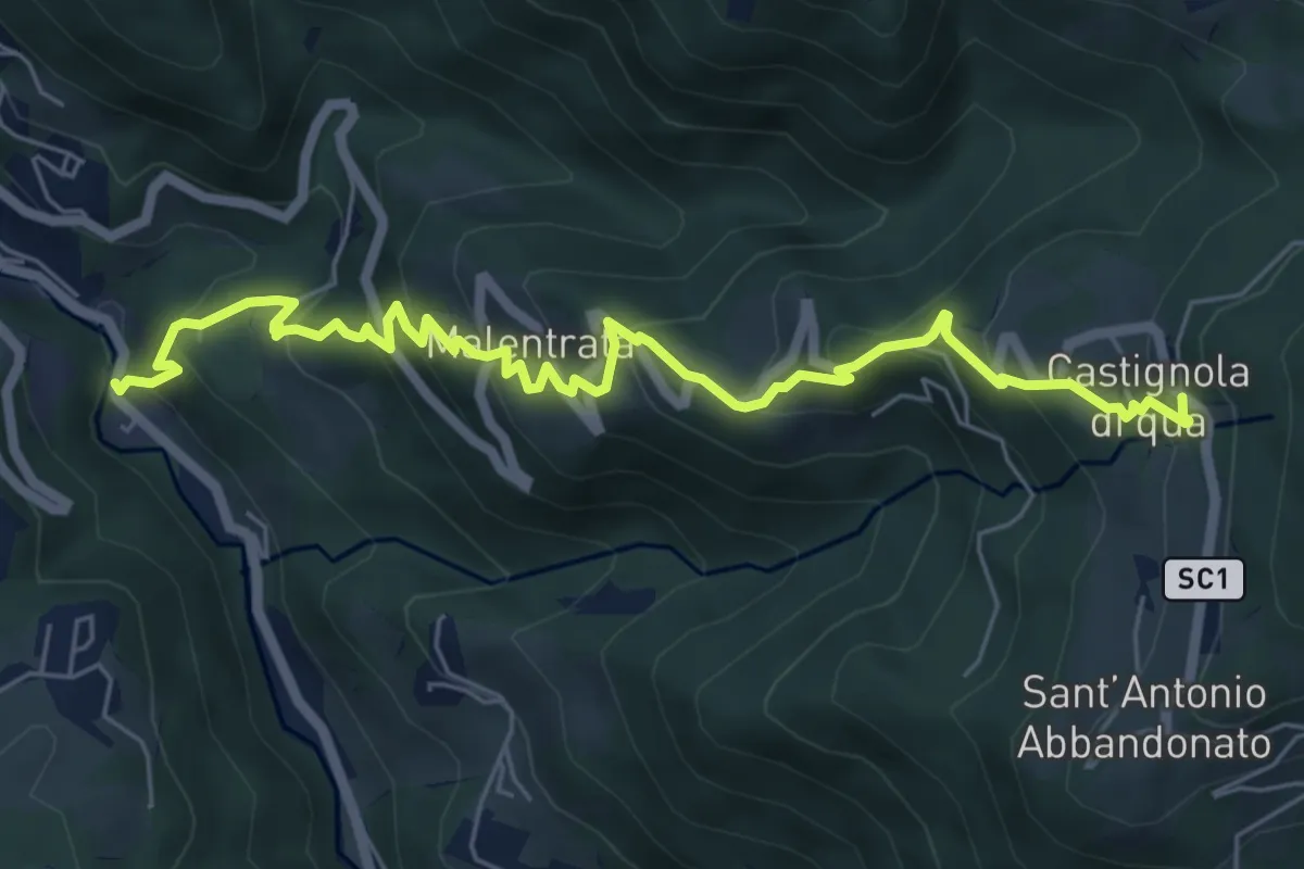
Feniletto (Brembilla) – Rifugio Lupi di Brembilla
3.0 km · ↑ 296 m · 1 h 21 min · 3 km away
Medium · Trail
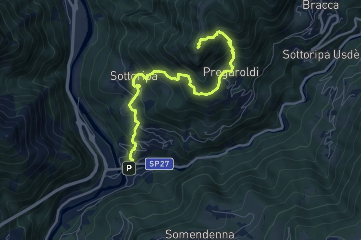
Magnavacche – Castignola di quà
7.3 km · ↑ 582 m · 2 h 59 min · 4 km away
Medium · Summit
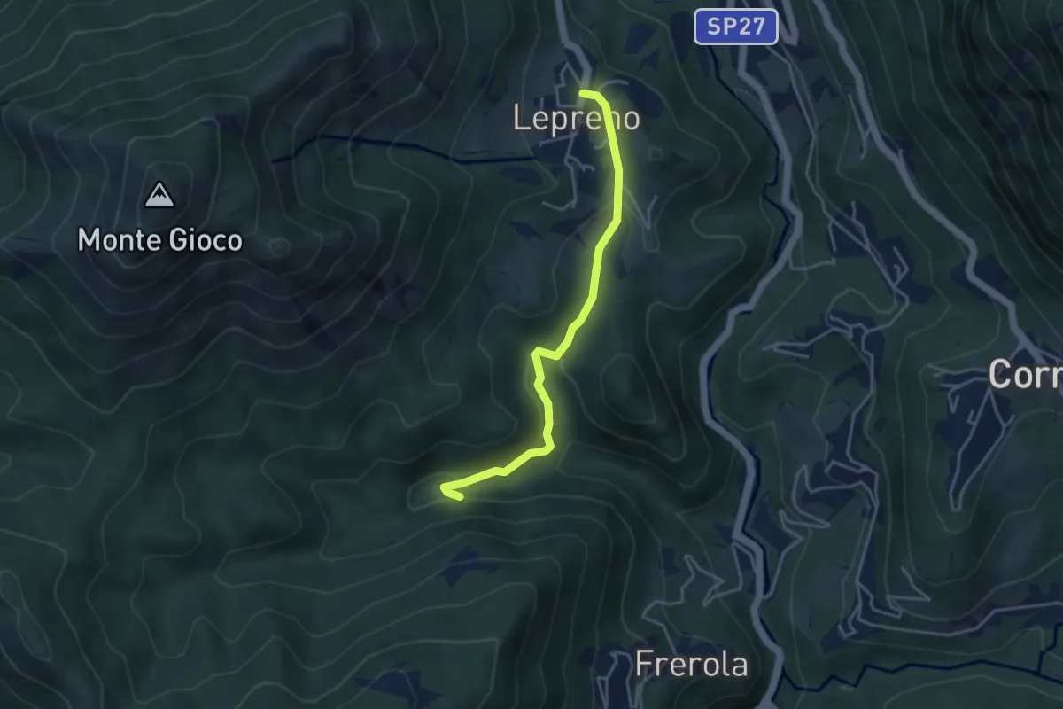
Ambria – Pizzo di Spino
7.5 km · ↑ 700 m · 3 h 17 min · 4 km away
Medium · Trail
Lepreno – Incrocio 593
3.8 km · ↑ 134 m · 1 h 11 min · 4 km away
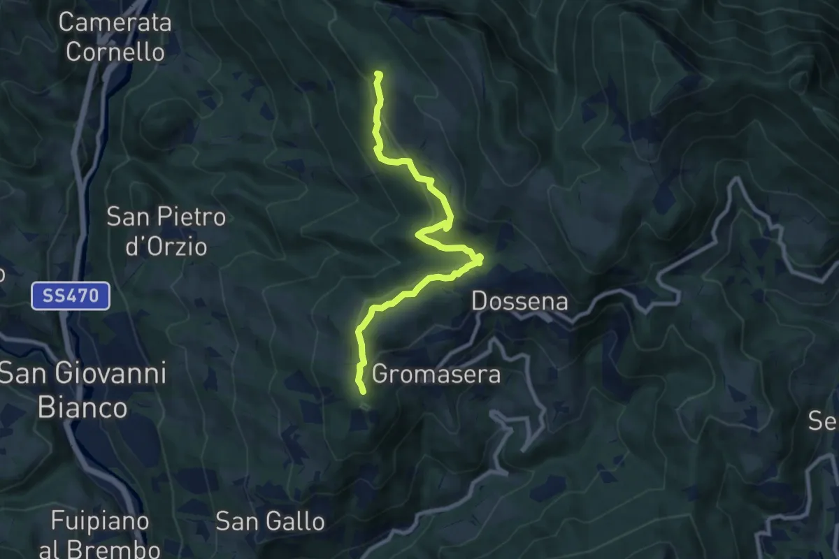
Medium · Trail
Dossena (S.S. Trinità) – Miniere del Paglio
8.4 km · ↑ 421 m · 2 h 54 min · 4 km away
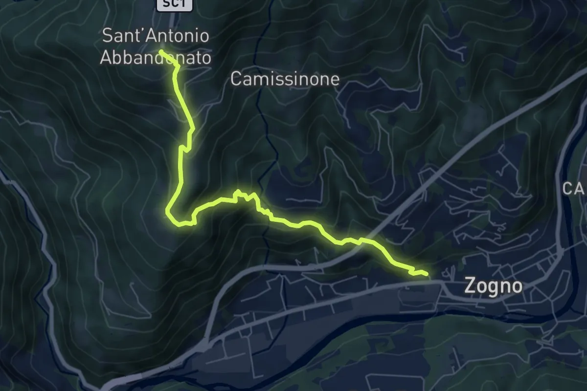
Medium · Trail
Zogno (via Sottocorna) – S. Antonio Abbandonato
7.2 km · ↑ 729 m · 3 h 16 min · 4 km away
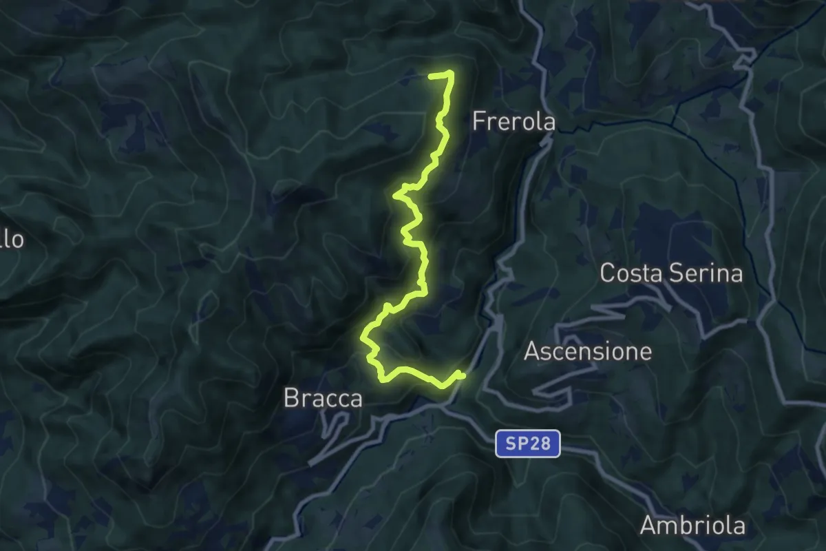
Demanding · Trail
Algua – Pradai
8.7 km · ↑ 821 m · 3 h 50 min · 4 km away
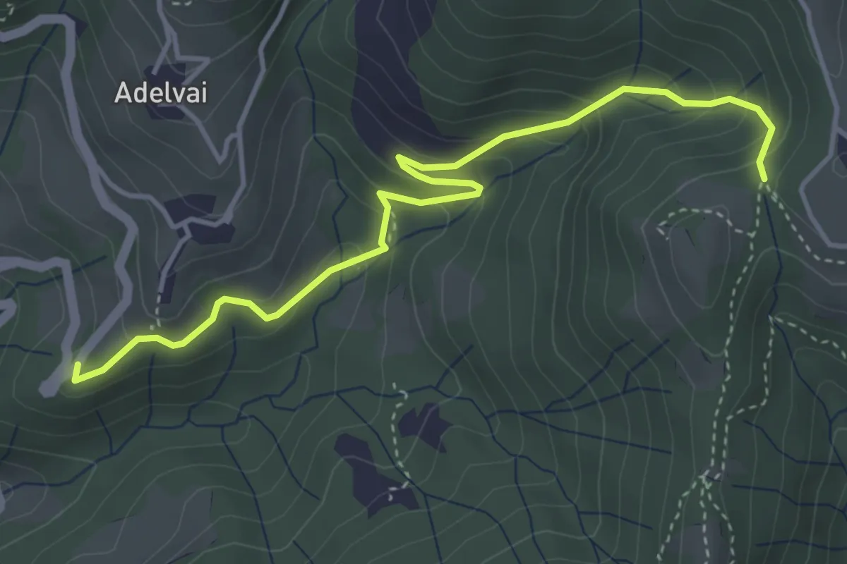
Medium · Trail
Chiesa San Francesco – Corone
4.4 km · ↑ 300 m · 1 h 42 min · 4 km away
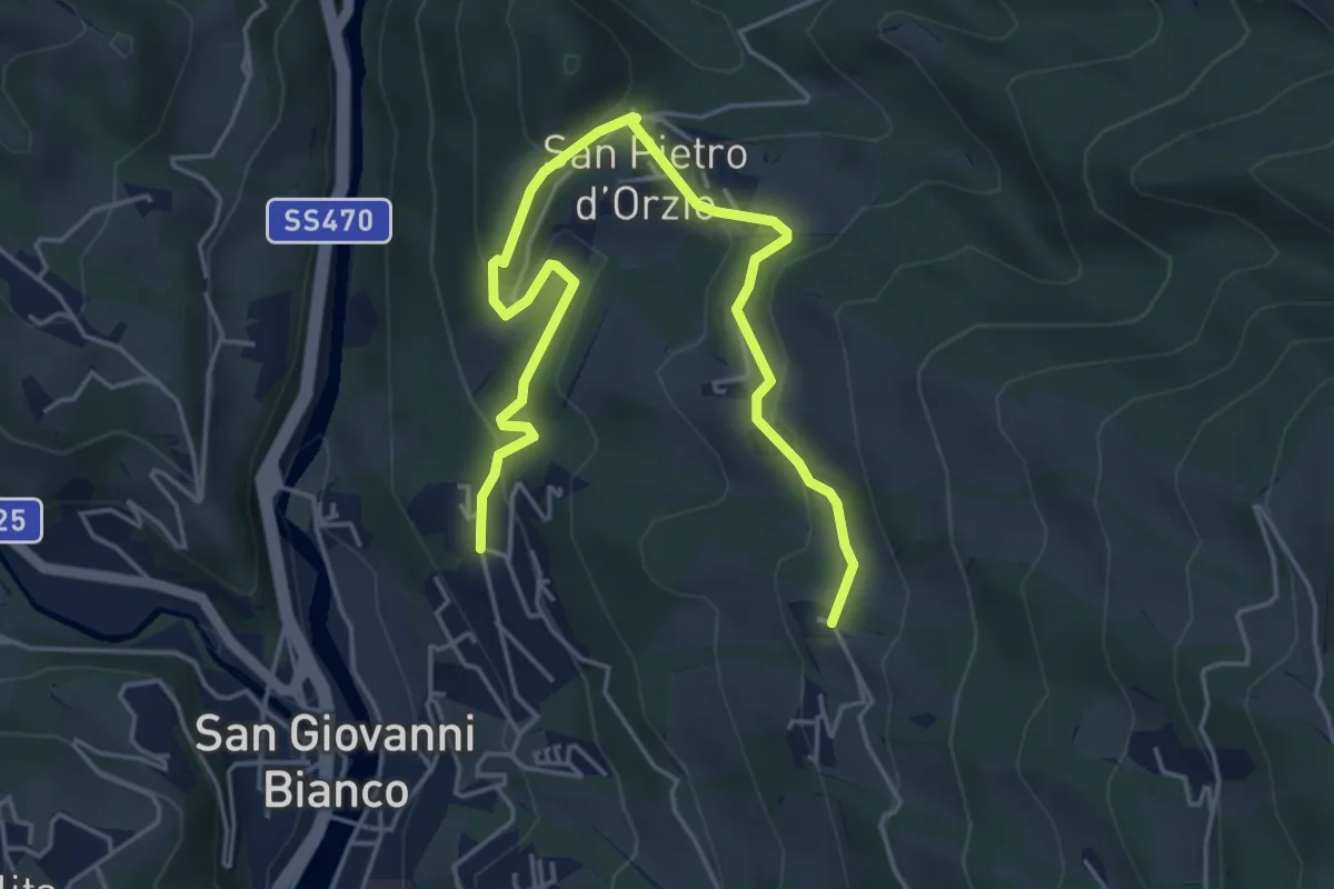
Medium · Trail
Via Mercatorum - Variante San Pietro D'Orzio
5.8 km · ↑ 244 m · 1 h 55 min · 4 km away
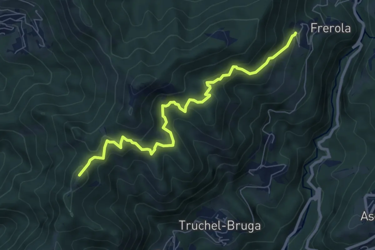
Medium · Summit
Frerola (Algua) – Bracca
7.2 km · ↑ 567 m · 2 h 56 min · 4 km away
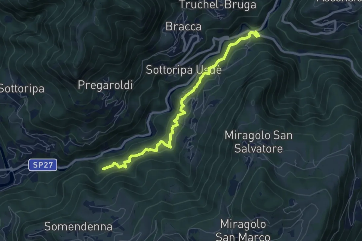
Medium · Trail
Strada Birocciabile
7.0 km · ↑ 440 m · 2 h 36 min · 5 km away
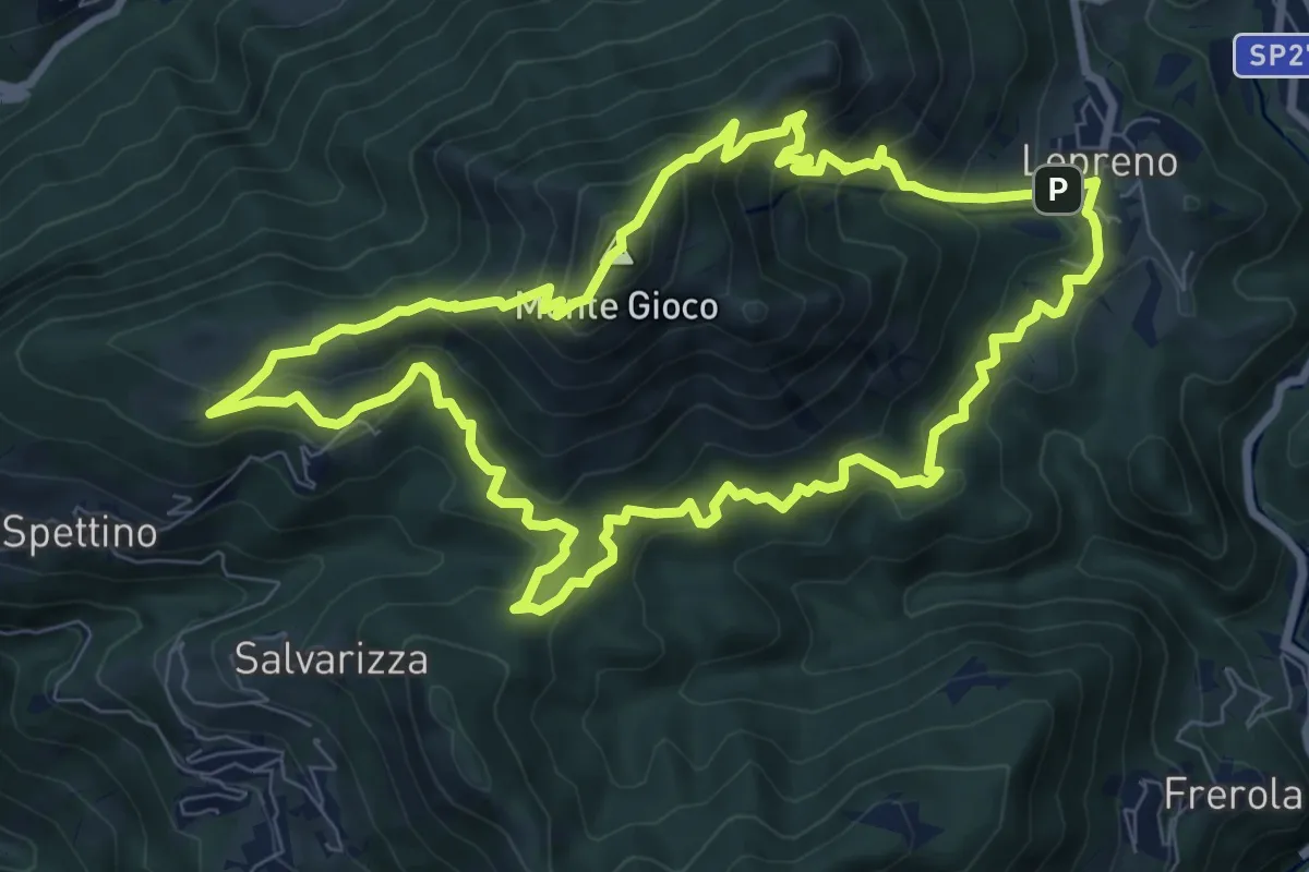
Medium · Summit
Lepreno (Serina) – Lepreno
8.9 km · ↑ 710 m · 3 h 46 min · 5 km away
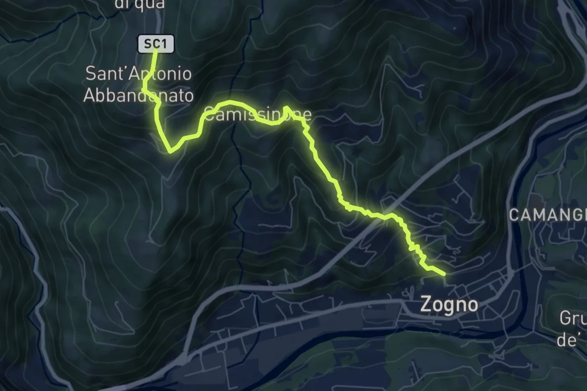
Medium · Trail
Zogno – Castignola
8.2 km · ↑ 688 m · 3 h 25 min · 5 km away
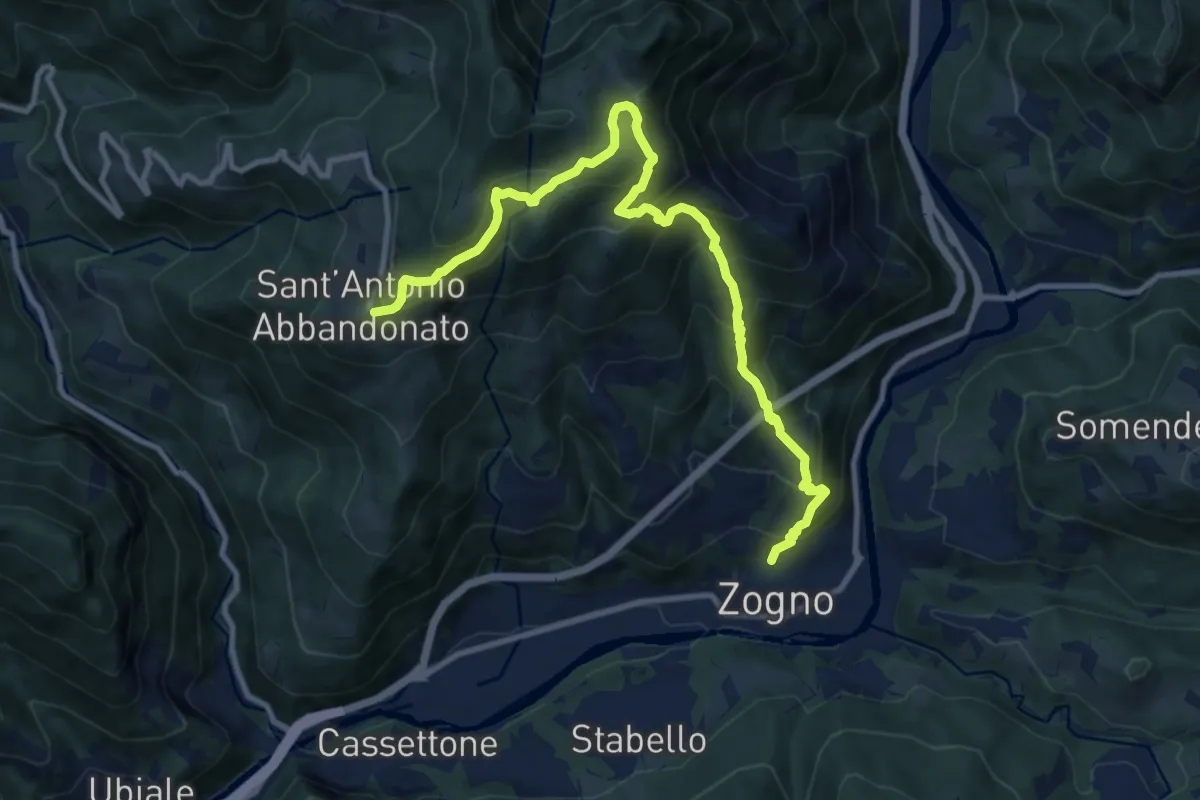
Demanding · Trail
Zogno – S. Antonio Abbandonato
11.8 km · ↑ 1031 m · 5 h 1 min · 5 km away
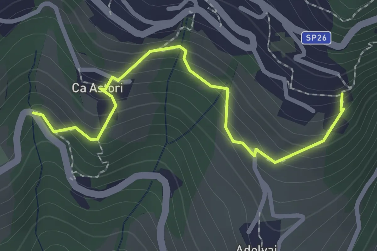
Medium · Trail
Giro delle Contrade di Dossena
2.1 km · ↑ 223 m · 59 min · 5 km away
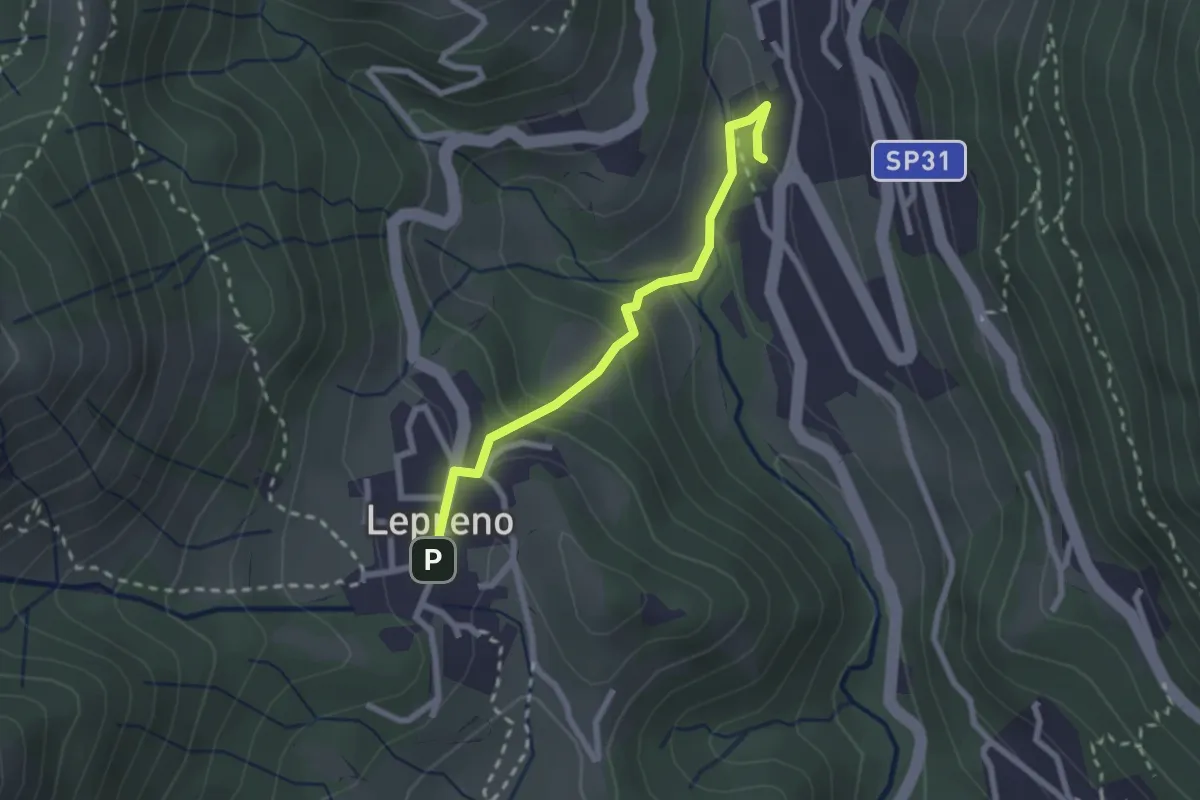
Easy · Trail
Serina – Lepreno
2.3 km · ↑ 124 m · 48 min · 5 km away
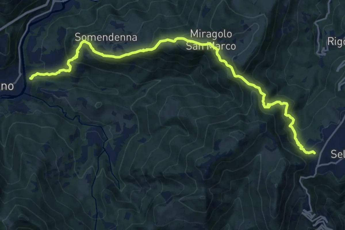
Demanding · Trail
Selvino – Zogno
16.8 km · ↑ 1152 m · 6 h 28 min · 5 km away
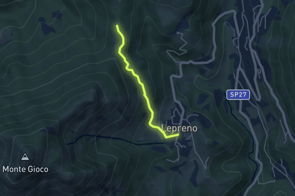
Easy · Trail
Lepreno – 3 Gobbe
2.8 km · ↑ 168 m · 1 h 2 min · 5 km away
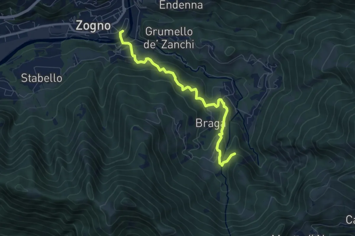
Medium · Trail
La via delle Castagne
7.6 km · ↑ 390 m · 2 h 38 min · 5 km away
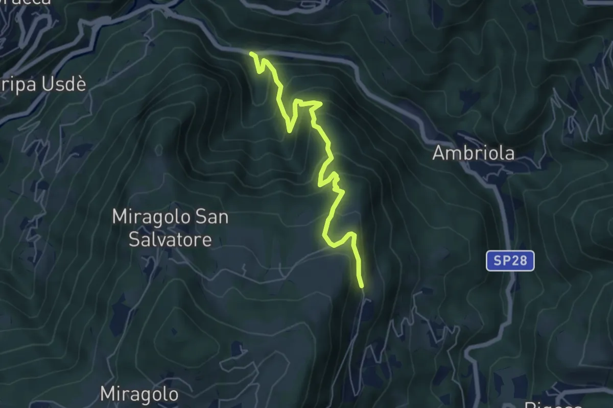
Medium · Trail
Algua – Sambusita alta (Case di Sopra)
5.6 km · ↑ 528 m · 2 h 28 min · 5 km away
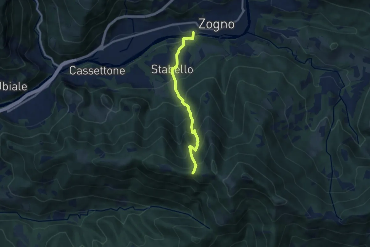
Demanding · Trail
Zogno – Casèl (incrocio 507)
6.1 km · ↑ 672 m · 2 h 54 min · 5 km away
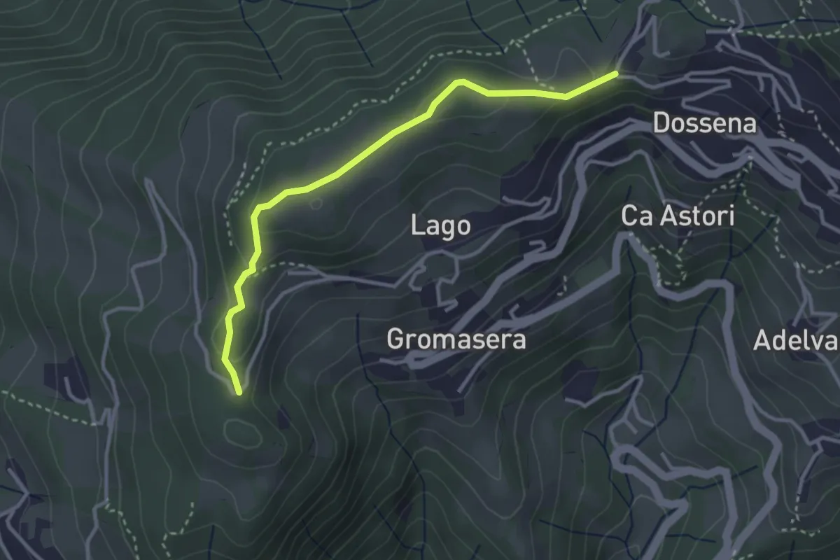
Easy · Trail
Dossena (S.S. Trinità) – Dossena
3.2 km · ↑ 87 m · 56 min · 5 km away
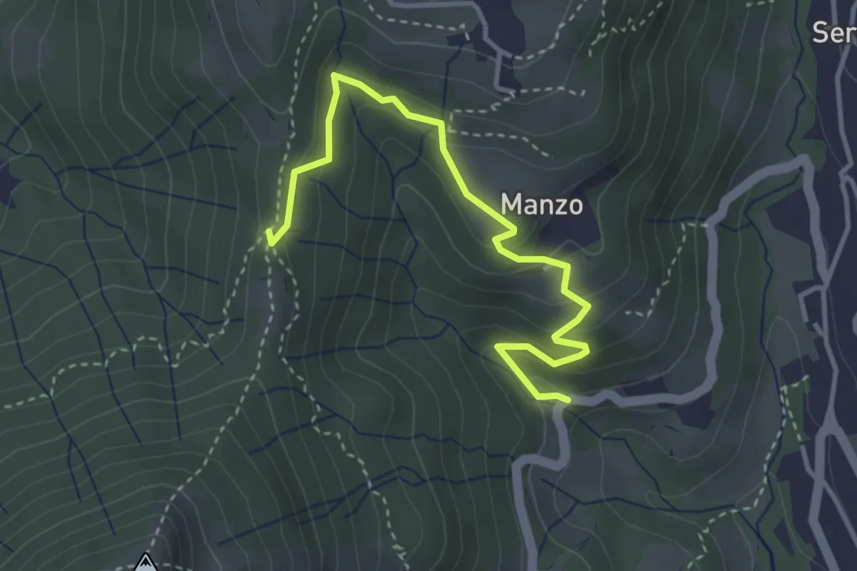
Easy · Trail
Sorgenti del Manzo – 3 Gobbe
3.7 km · ↑ 226 m · 1 h 22 min · 5 km away
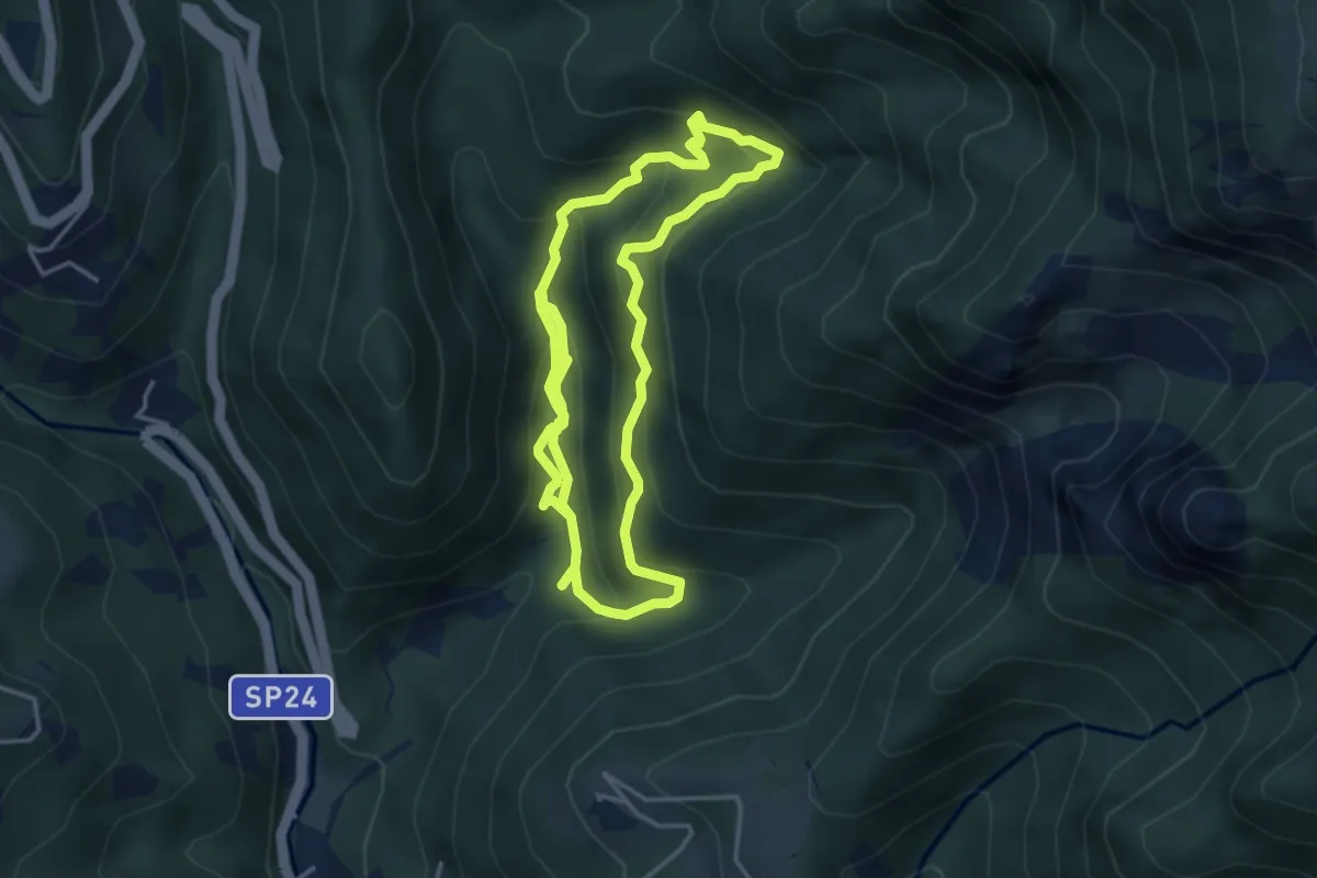
Medium · Trail
Itinerario delle Calchere
7.6 km · ↑ 589 m · 3 h 4 min · 5 km away
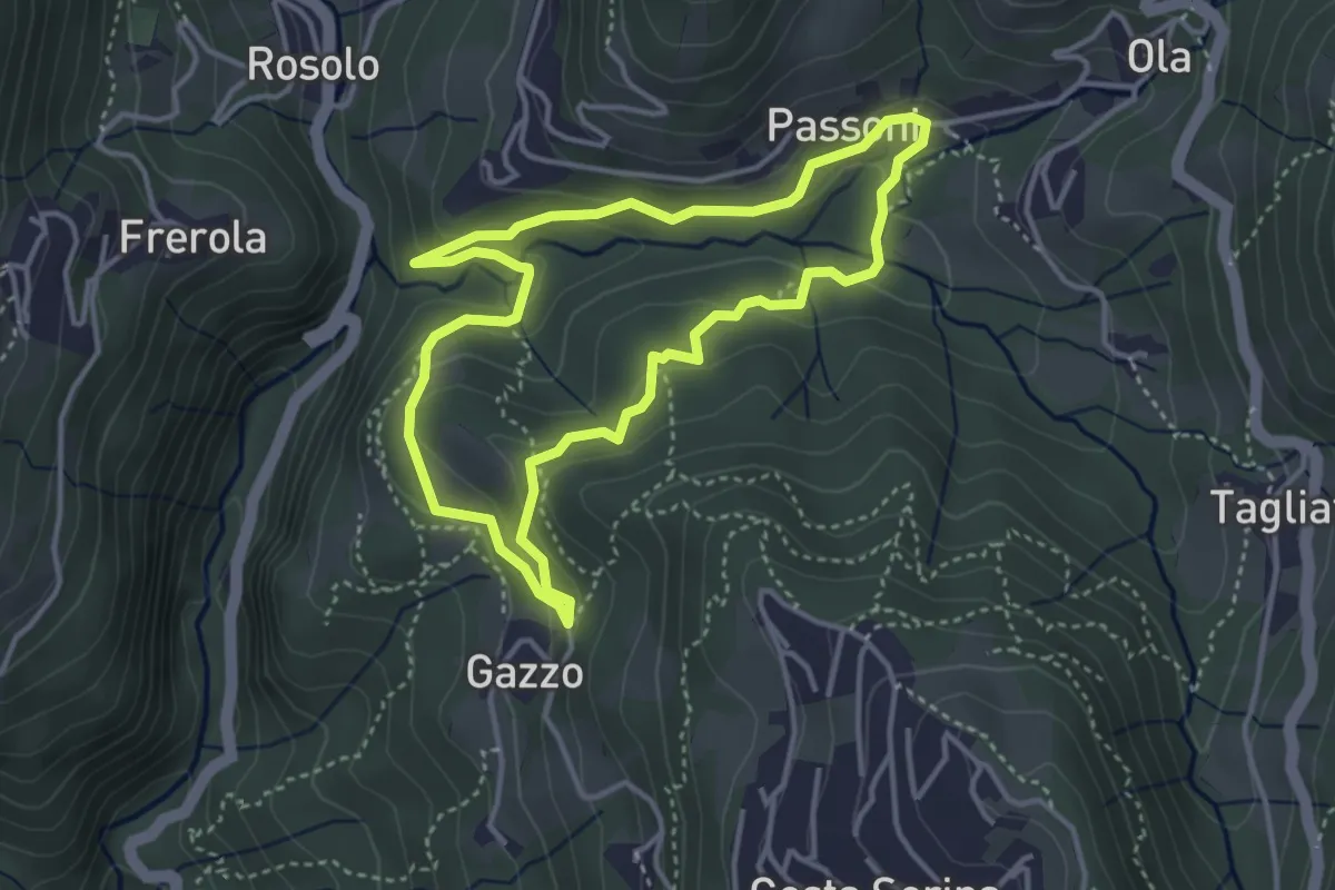
Medium · Trail
Sentiero Azzurro
3.6 km · ↑ 138 m · 1 h 12 min · 5 km away
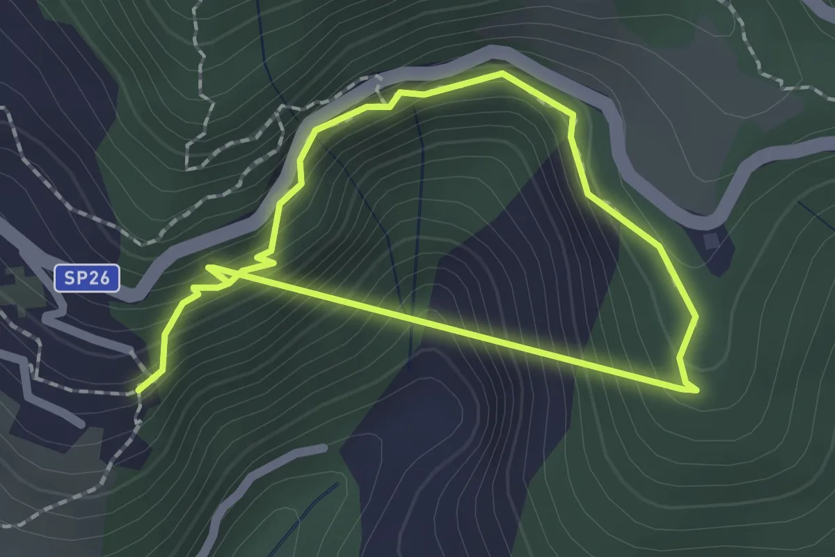
Easy · Trail
Ponte nel Sole
1.5 km · ↑ 160 m · 45 min · 5 km away
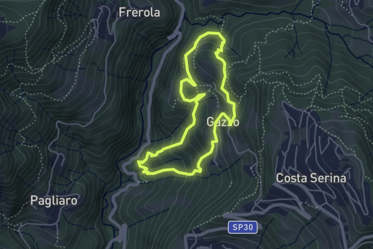
Medium · Trail
Sentiero Arancio
3.7 km · ↑ 280 m · 1 h 31 min · 5 km away
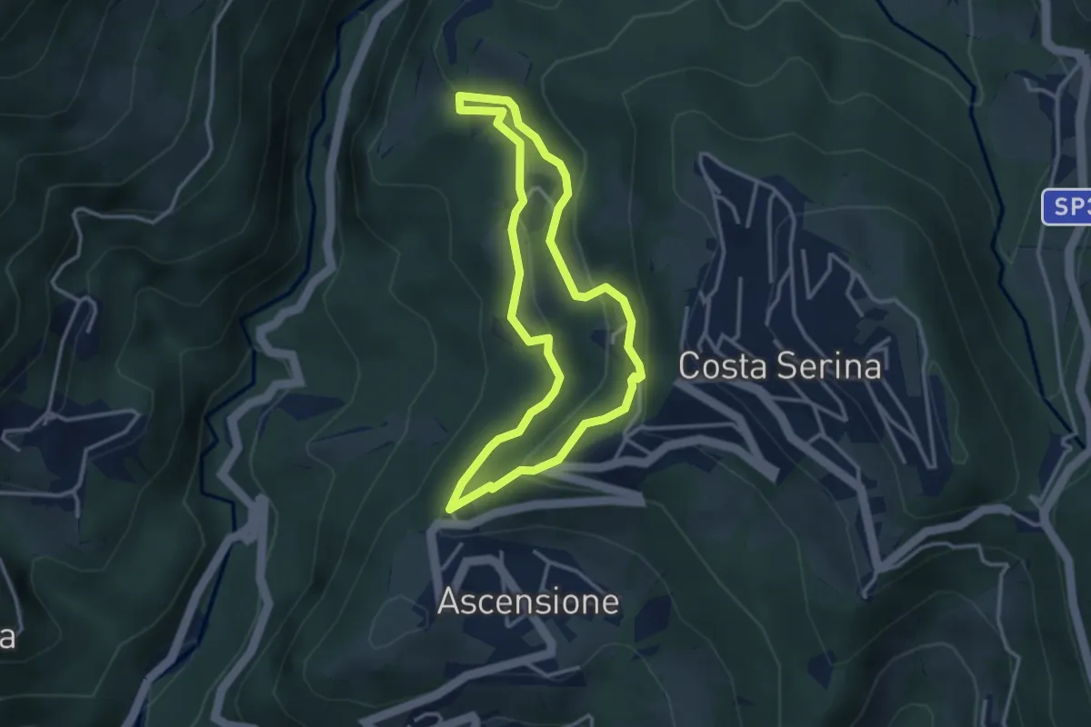
Medium · Trail
Sentiero Giallo
3.1 km · ↑ 159 m · 1 h 7 min · 5 km away
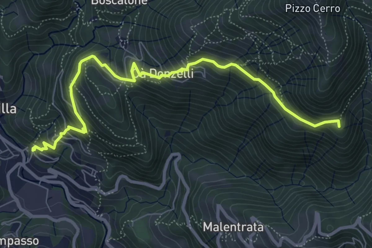
Medium · Summit
Brembilla – Catremerio
7.1 km · ↑ 585 m · 2 h 57 min · 5 km away
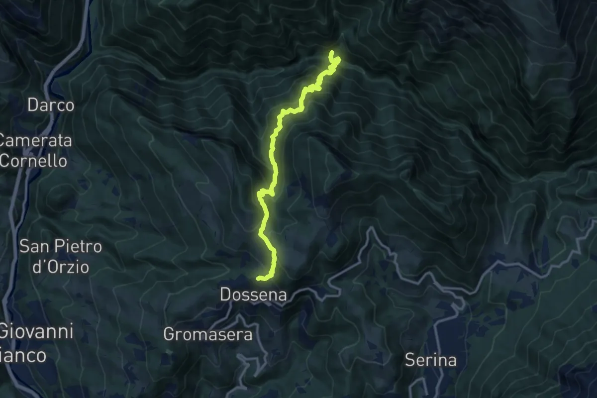
Demanding · Trail
Dossena (Costa Villa) – Val Parina (incrocio 259)
10.5 km · ↑ 959 m · 4 h 33 min · 5 km away
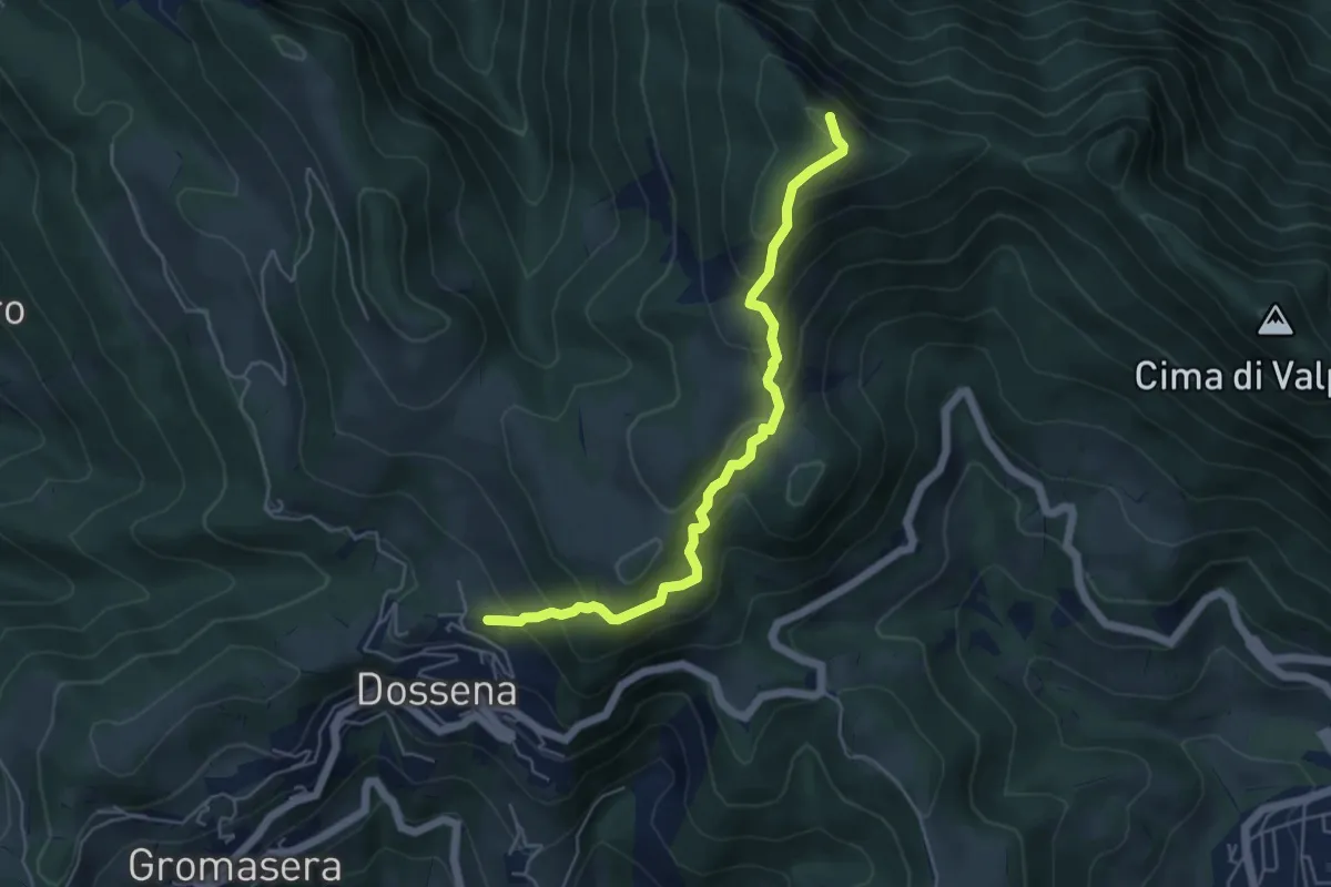
Medium · Summit
Sentiero Panoramico
5.2 km · ↑ 472 m · 2 h 15 min · 6 km away
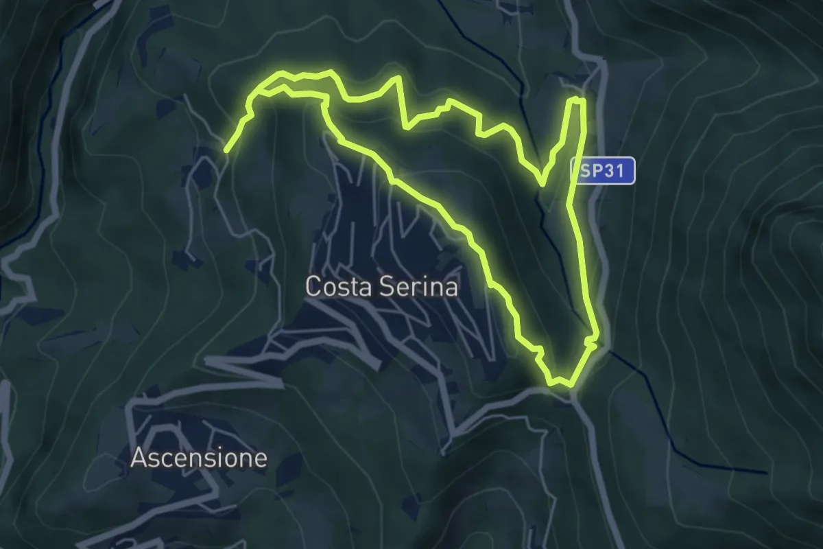
Medium · Trail
Sentiero Verde
4.9 km · ↑ 329 m · 1 h 58 min · 6 km away
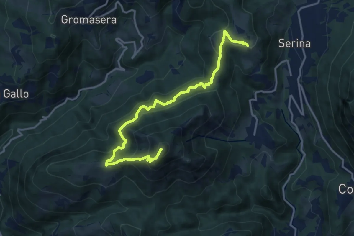
Medium · Summit
Corone (Serina) – Spettino (San Pellegrino Terme)
10.4 km · ↑ 752 m · 4 h 5 min · 6 km away
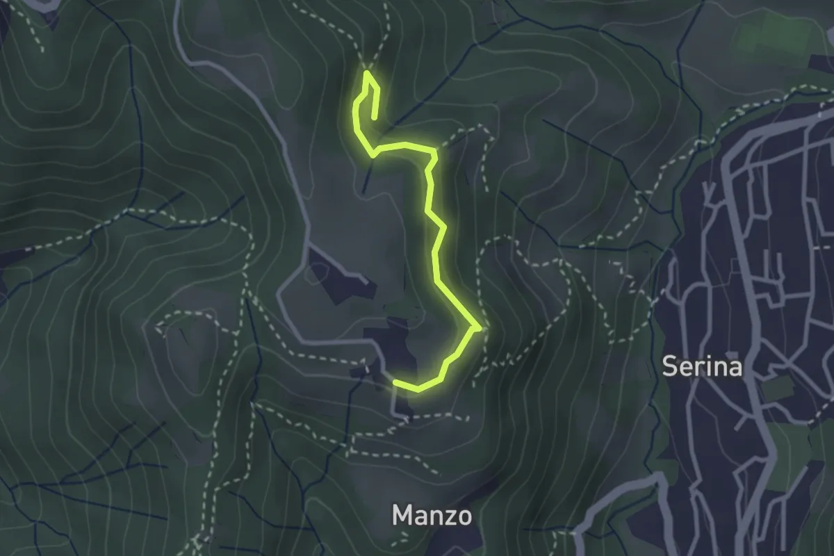
Medium · Trail
Corone – Incrocio Via Mercatorum
2.4 km · ↑ 123 m · 51 min · 6 km away
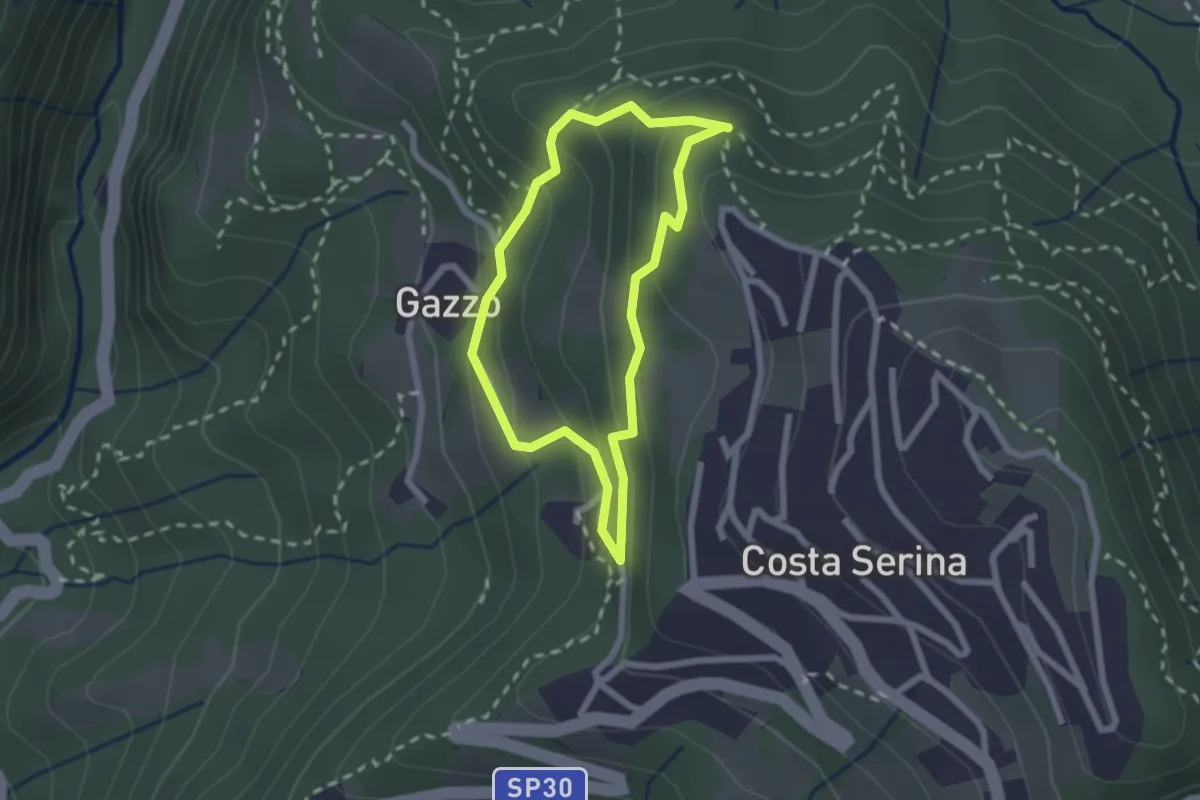
Medium · Trail
Sentiero Bianco
1.9 km · ↑ 122 m · 45 min · 6 km away
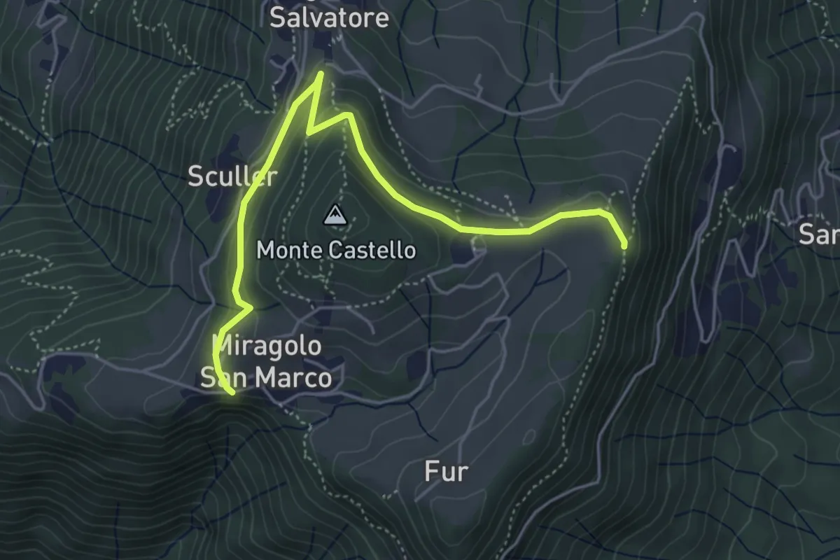
Medium · Trail
Miragolo San Marco – Incrocio H53
5.1 km · ↑ 160 m · 1 h 32 min · 6 km away