Trails near San Pellegrino Terme
314 hikes starting within 15 km, nearest first.
Nearest first, page 2 of 7
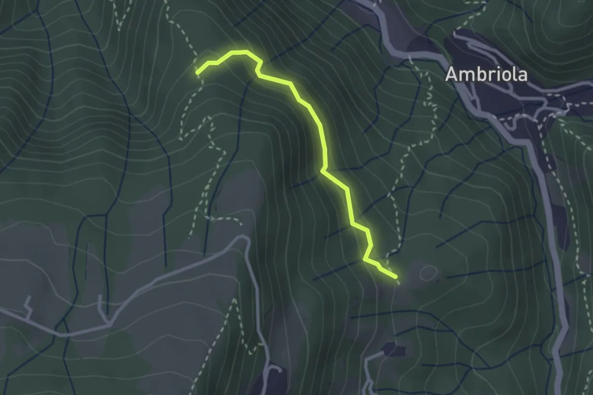
Demanding · Trail
Incrocio H51 – Incrocio H52
2.3 km · ↑ 197 m · 58 min · 6 km away
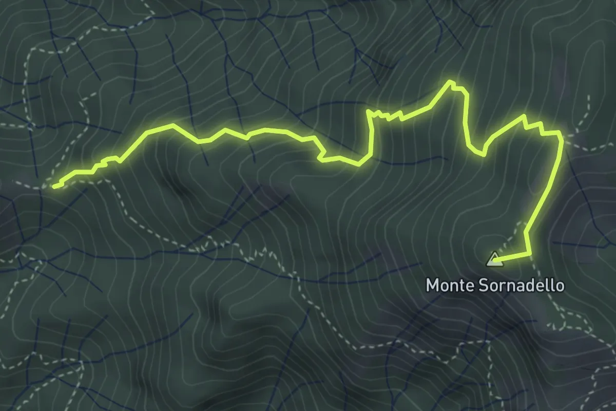
Medium · Summit
Incrocio 595 – Incrocio 595
5.0 km · ↑ 635 m · 2 h 33 min · 6 km away
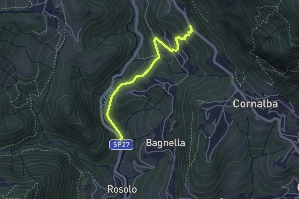
Easy · Trail
Rosolo – San Pantaleone
3.3 km · ↑ 200 m · 1 h 13 min · 6 km away
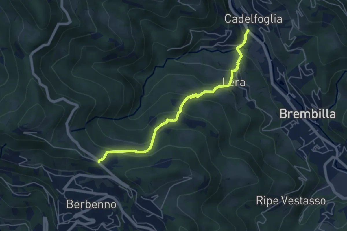
Medium · Trail
Cadelfoglia – Madonna dell'Assunta (Berbenno)
4.4 km · ↑ 339 m · 1 h 47 min · 6 km away
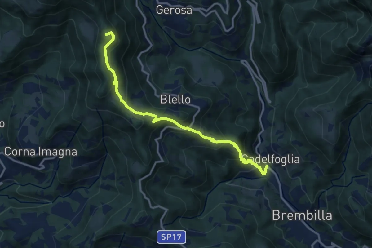
Medium · Summit
Cadelfoglia – Bocchetta di Piazzacava
9.1 km · ↑ 766 m · 3 h 48 min · 6 km away
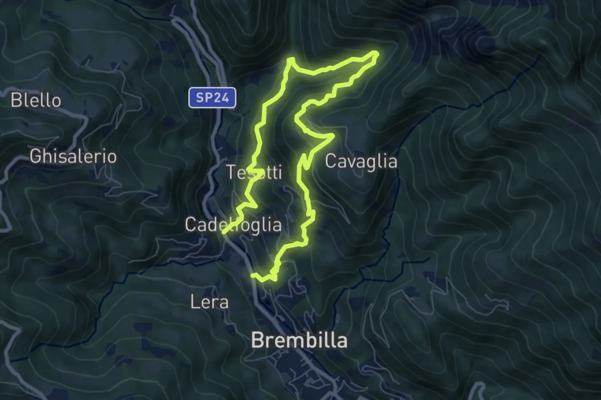
Demanding · Trail
Capreduzzo – Cadelfoglia
11.3 km · ↑ 976 m · 4 h 46 min · 6 km away
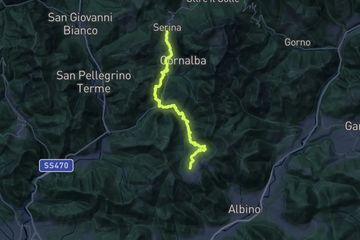
Demanding · Trail
Via Mercatorum - Variante Bassa
16.1 km · ↑ 969 m · 6 h 4 min · 6 km away
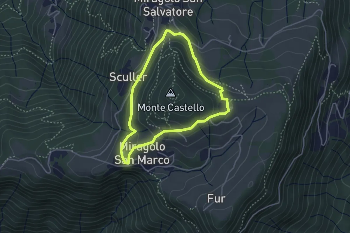
Easy · Trail
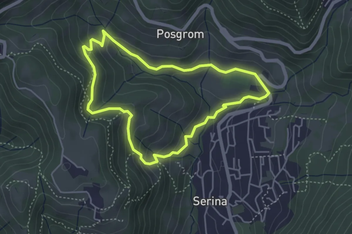
Giro del Monte Castello
2.9 km · ↑ 111 m · 58 min · 6 km away
Medium · Trail
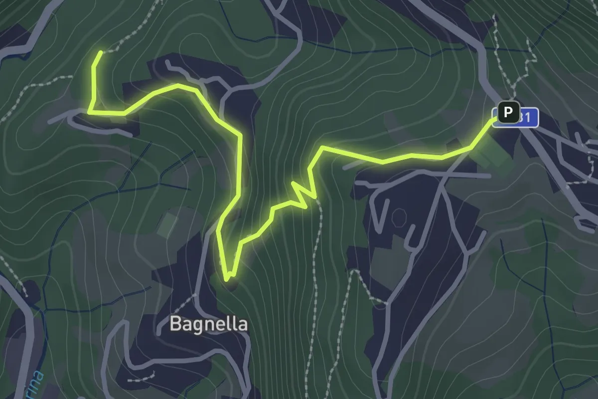
Anello Serina
3.7 km · ↑ 179 m · 1 h 19 min · 6 km away
Easy · Trail
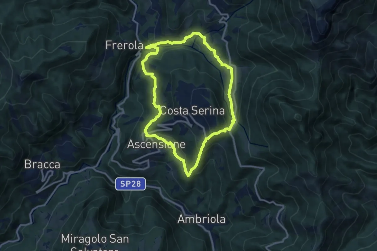
Rosolo – Cornalba
3.3 km · ↑ 235 m · 1 h 17 min · 6 km away
Medium · Trail
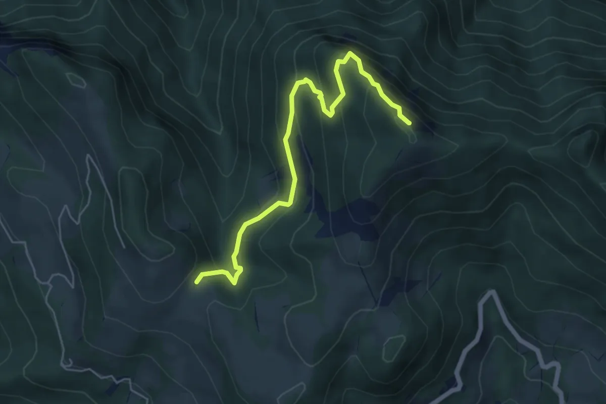
Sentiero Blu
7.8 km · ↑ 358 m · 2 h 44 min · 6 km away
Medium · Summit
Sentiero delle Creste
5.4 km · ↑ 403 m · 2 h 9 min · 6 km away
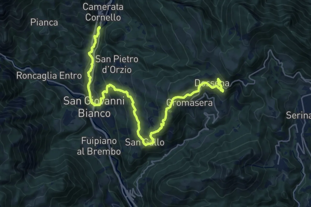
Demanding · Trail
Via Mercatorum - Variante San Gallo
21.1 km · ↑ 1102 m · 7 h 22 min · 6 km away
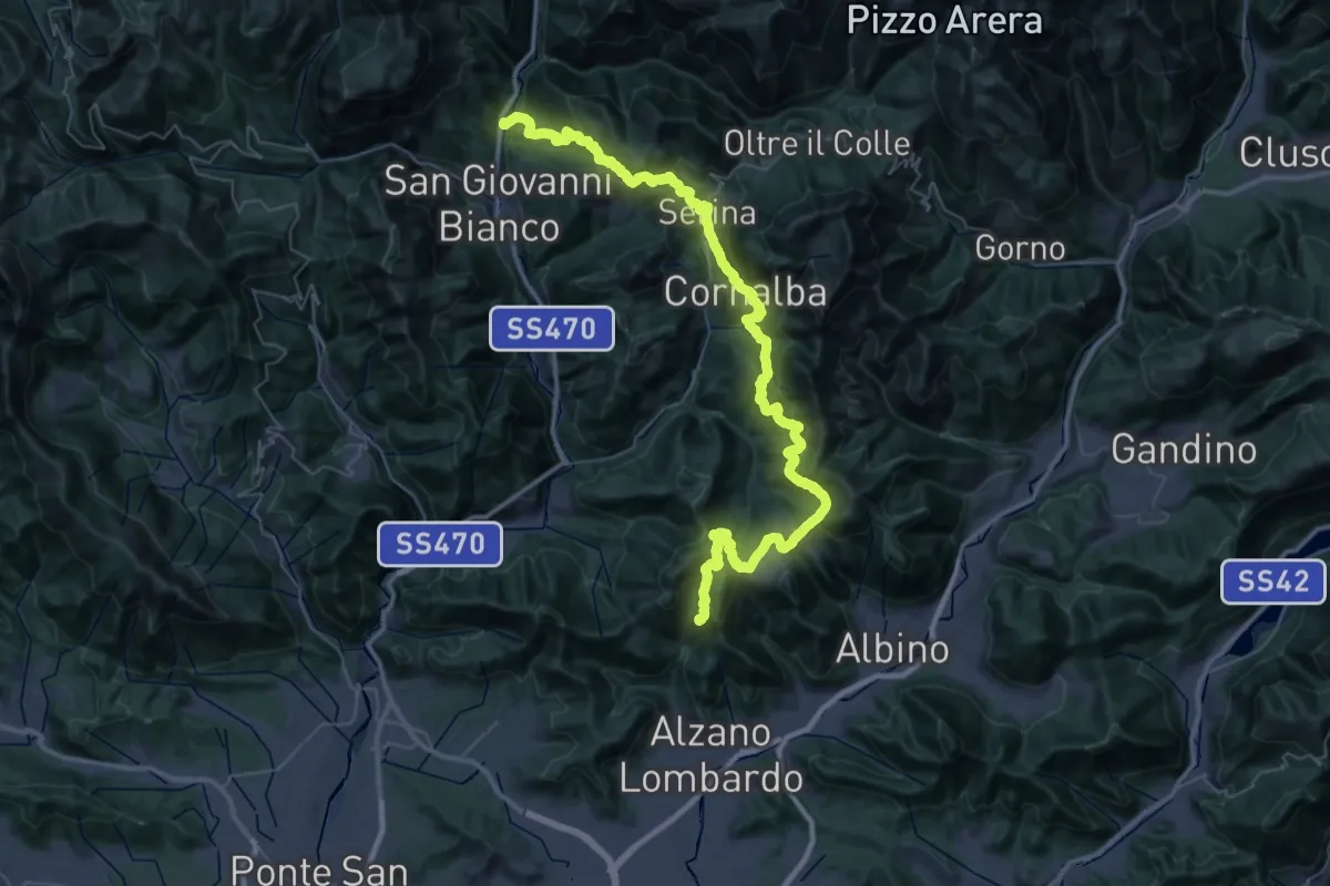
Demanding · Summit
Via Mercatorum - Variante Alta
60.6 km · ↑ 3317 m · 21 h 29 min · 6 km away
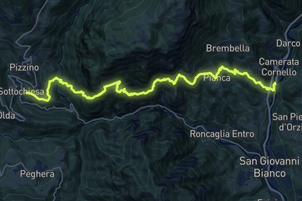
Demanding · Trail
Sentiero dei Laghi Basso - Tappa 5
11.1 km · ↑ 1154 m · 5 h 8 min · 6 km away
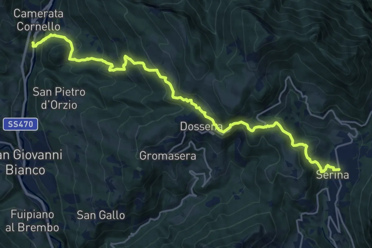
Demanding · Trail
Sentiero dei Laghi Basso - Tappa 6
17.9 km · ↑ 1192 m · 6 h 49 min · 6 km away
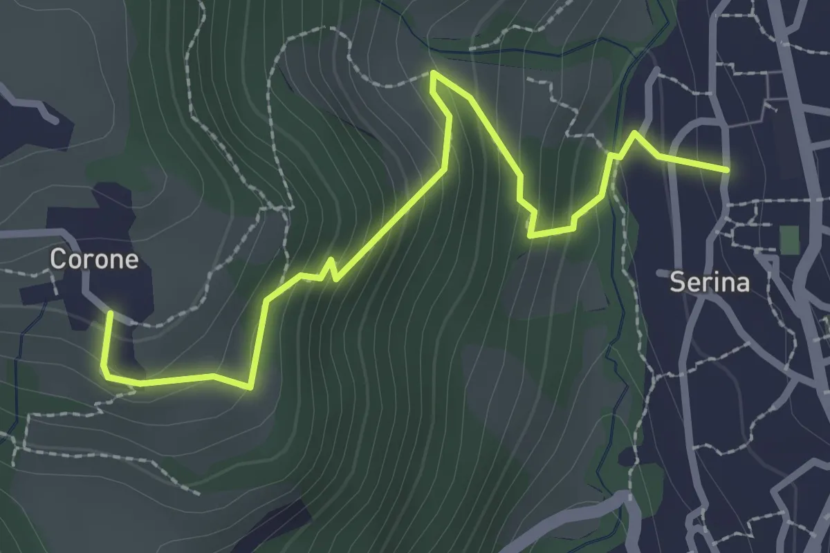
Medium · Trail
Serina – Corone
2.7 km · ↑ 220 m · 1 h 7 min · 6 km away
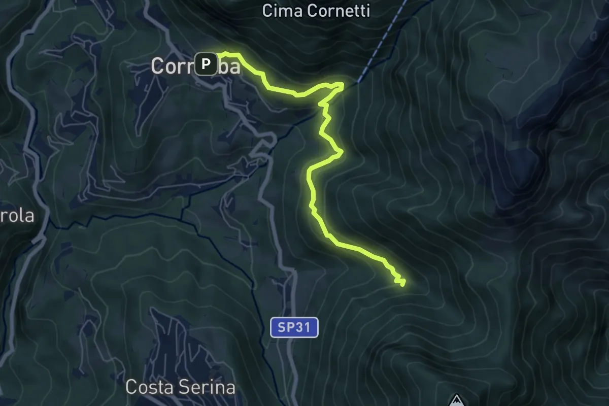
Medium · Trail
Cornalba – Incrocio 519B
6.4 km · ↑ 430 m · 2 h 26 min · 6 km away
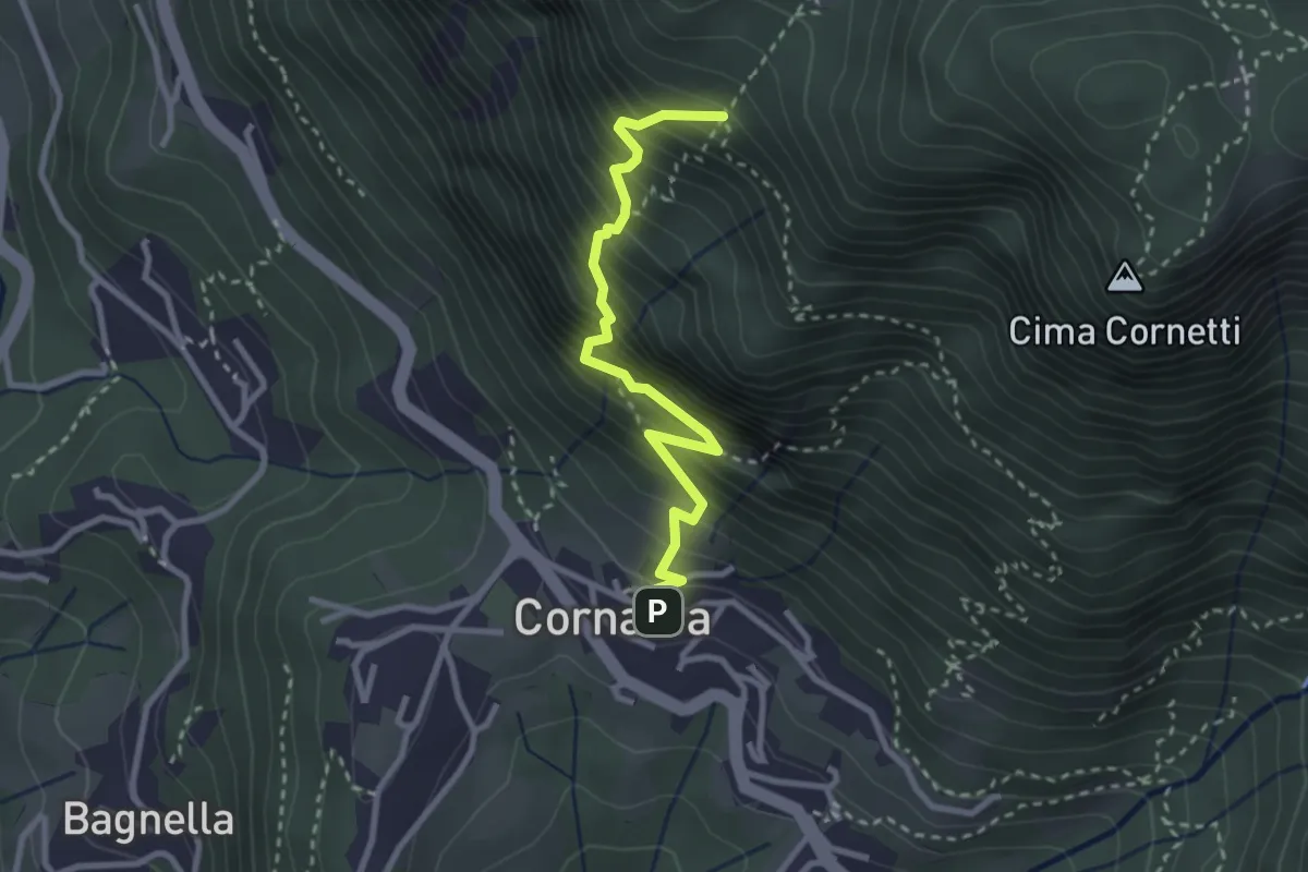
Demanding · Trail
Cornalba – Falesia Corna Bianca
2.9 km · ↑ 526 m · 1 h 49 min · 6 km away
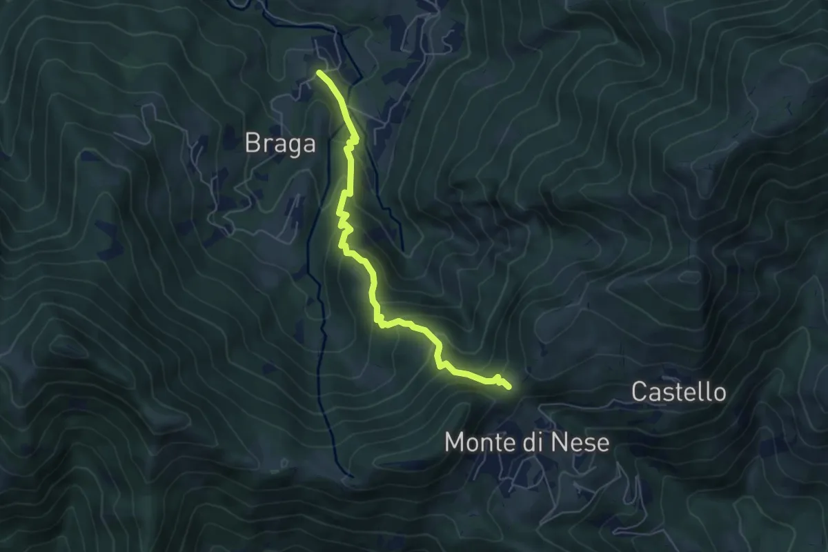
Medium · Trail
Poscante – Forcella di Monte di Nese
5.7 km · ↑ 465 m · 2 h 21 min · 6 km away
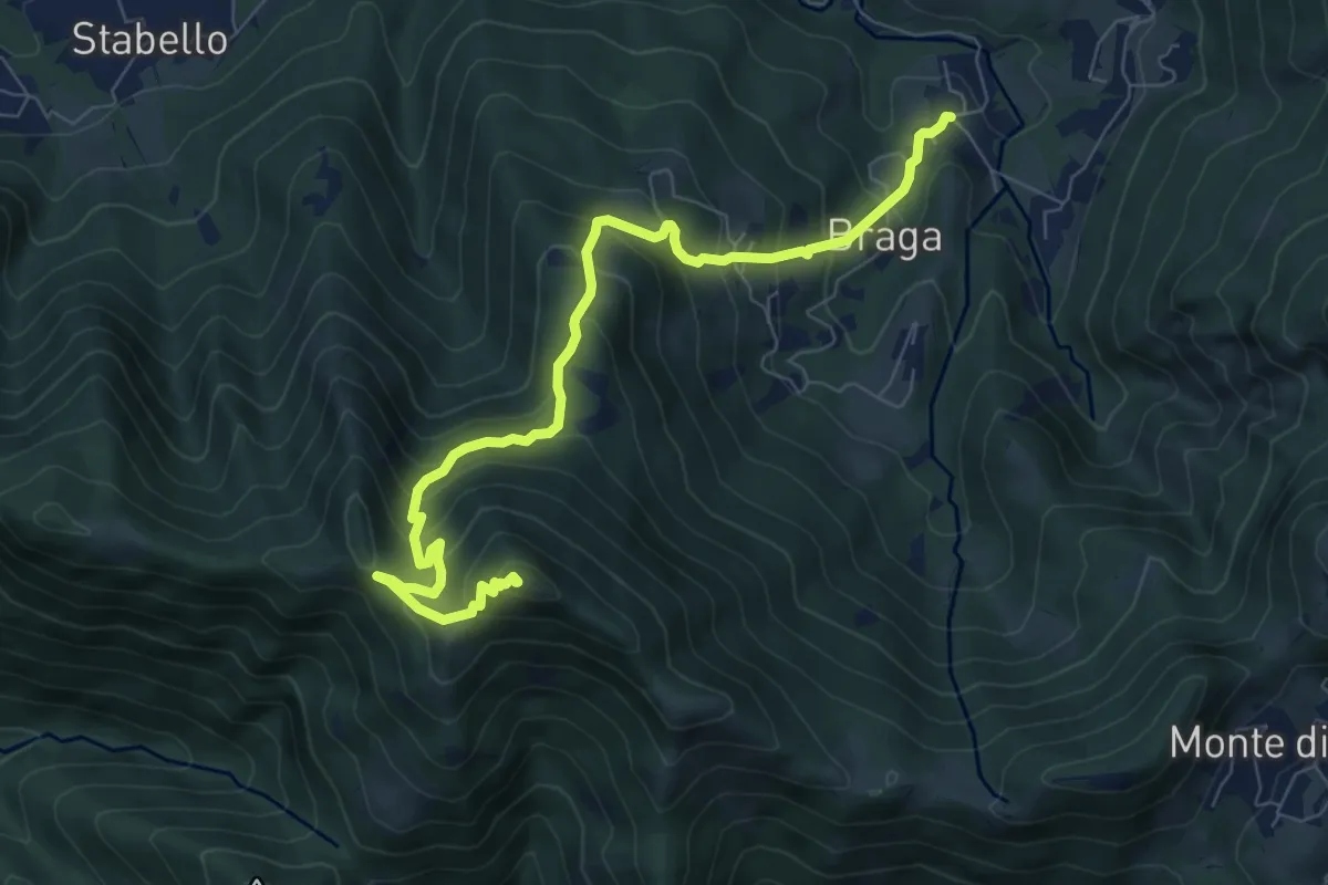
Medium · Summit
Poscante – Canto Alto
8.5 km · ↑ 775 m · 3 h 41 min · 6 km away
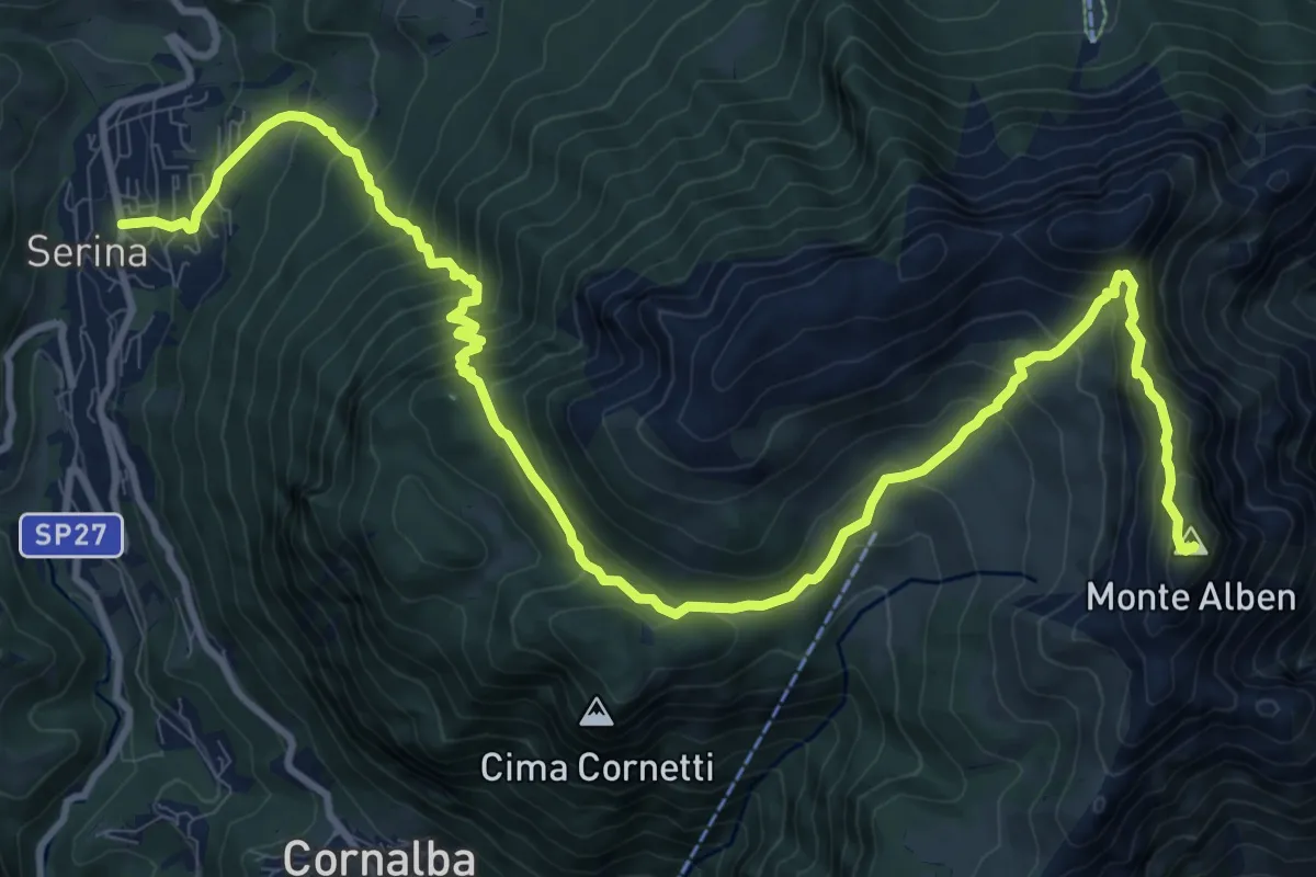
Expert · Summit
Serina – Monte Alben
14.7 km · ↑ 1277 m · 6 h 14 min · 6 km away
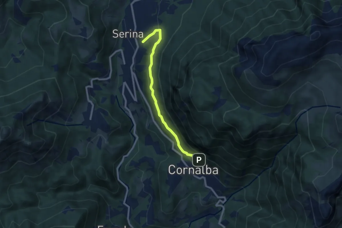
Medium · Trail
Variante Mercatorum
5.8 km · ↑ 297 m · 2 h 1 min · 6 km away
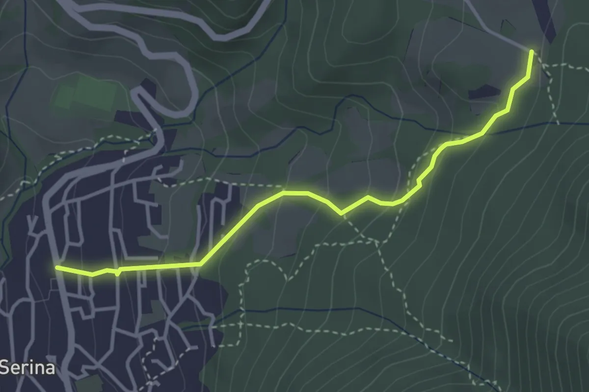
Easy · Trail
Serina – Cà di Zocc
3.4 km · ↑ 243 m · 1 h 20 min · 6 km away
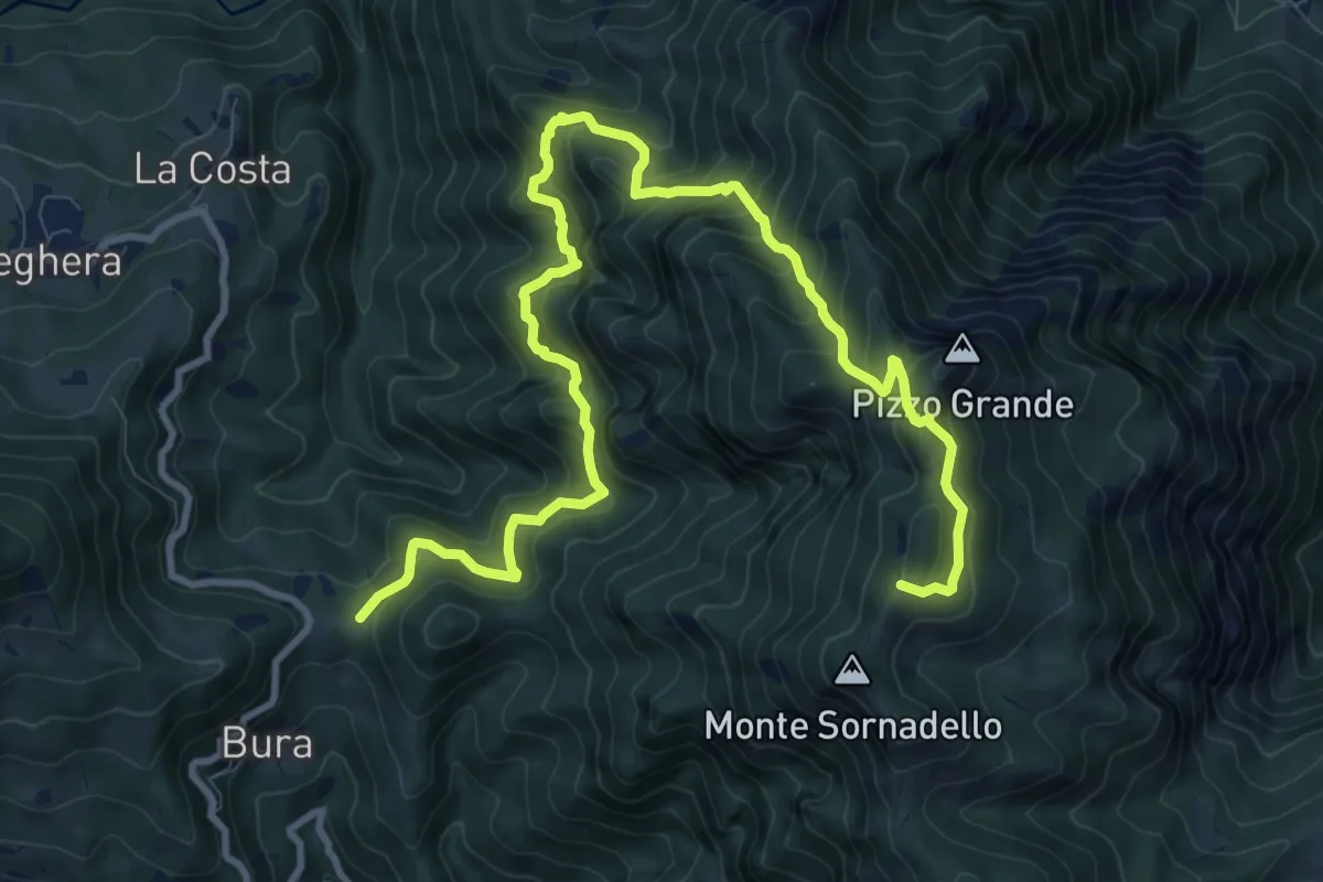
Demanding · Trail
Forcella di Bura – Passo Mercante del Ferro
13.2 km · ↑ 1150 m · 5 h 36 min · 7 km away
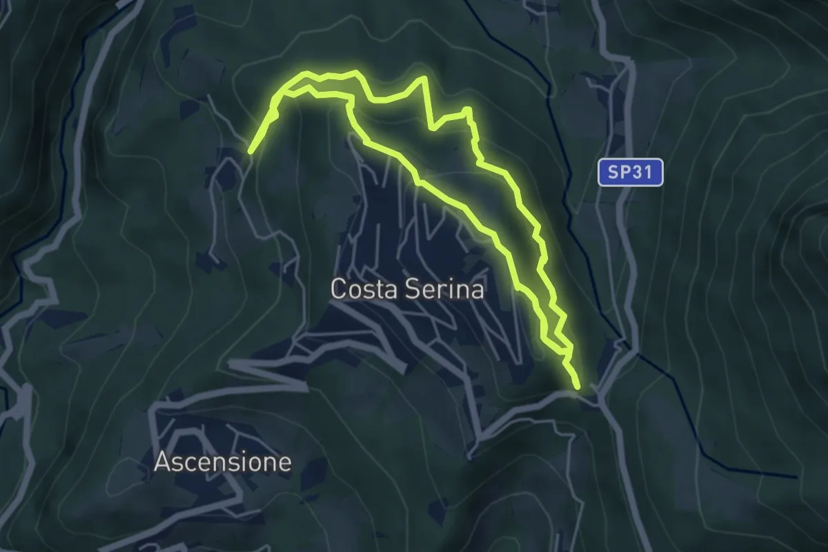
Medium · Trail
Sentiero Rosso
4.6 km · ↑ 352 m · 1 h 54 min · 7 km away
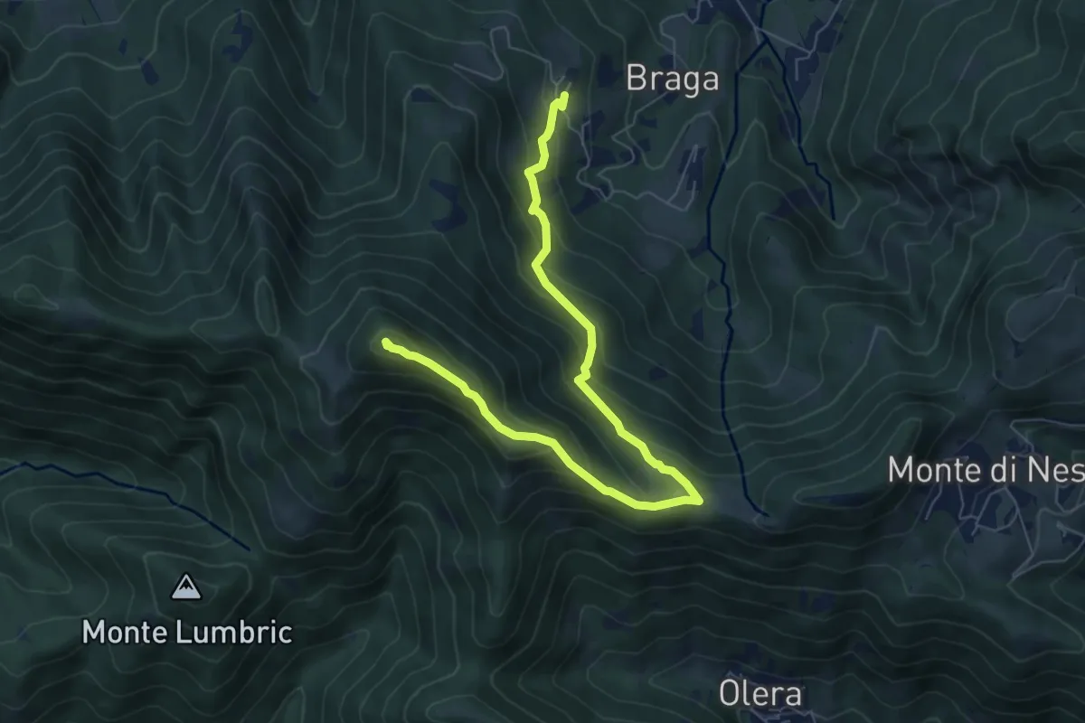
Medium · Summit
Cler (Sedrina) – Ripa (Poscante)
7.8 km · ↑ 573 m · 3 h 4 min · 7 km away
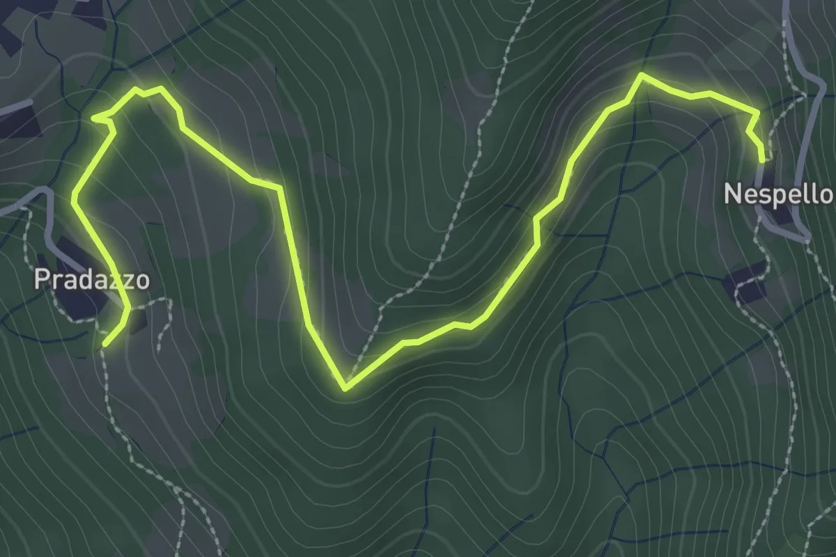
Medium · Trail
Via Mercatorum - Variante Ascensione
3.8 km · ↑ 188 m · 1 h 18 min · 7 km away
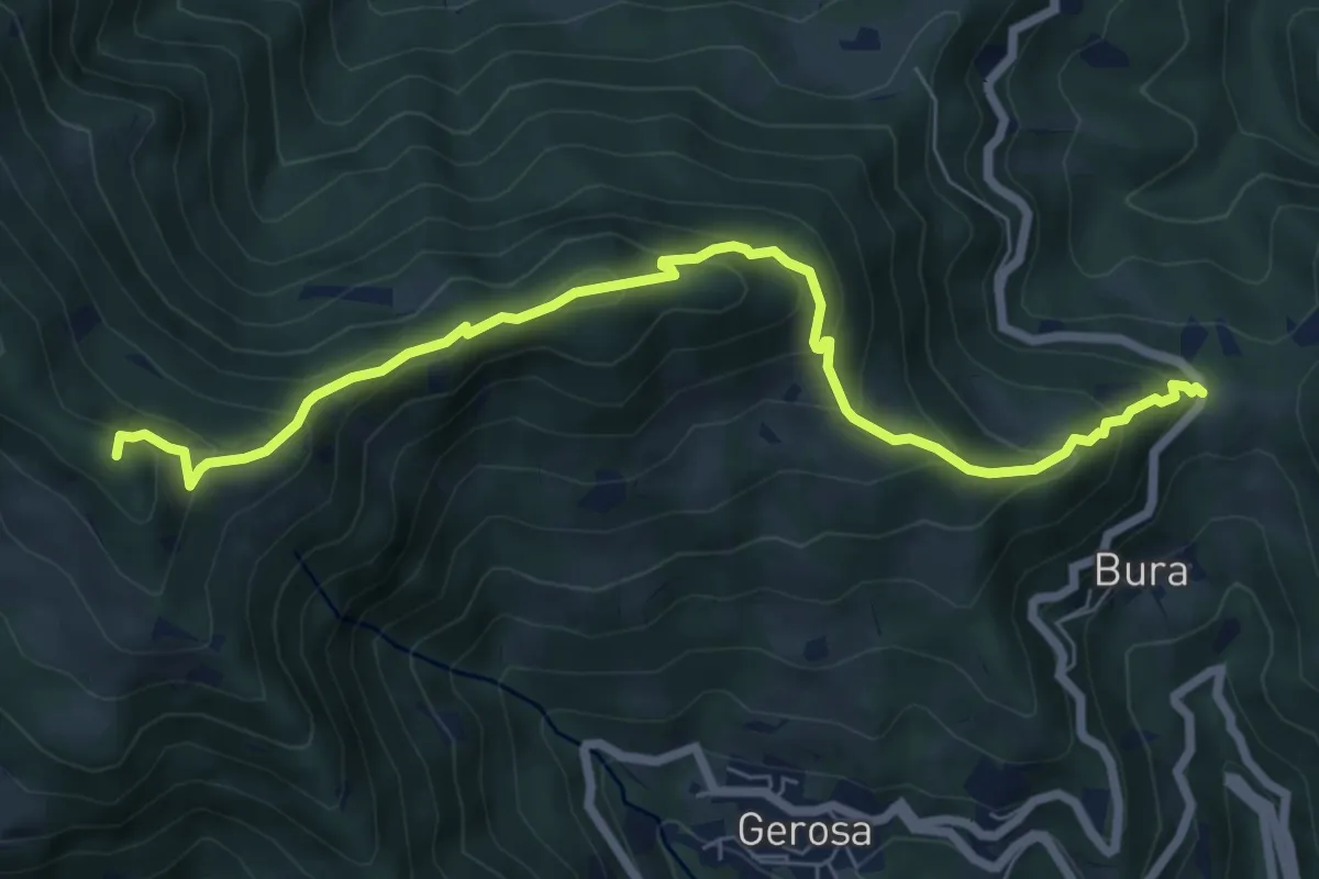
Medium · Summit
Forcella di Bura – Zucco di Pralongone
7.6 km · ↑ 602 m · 3 h 6 min · 7 km away
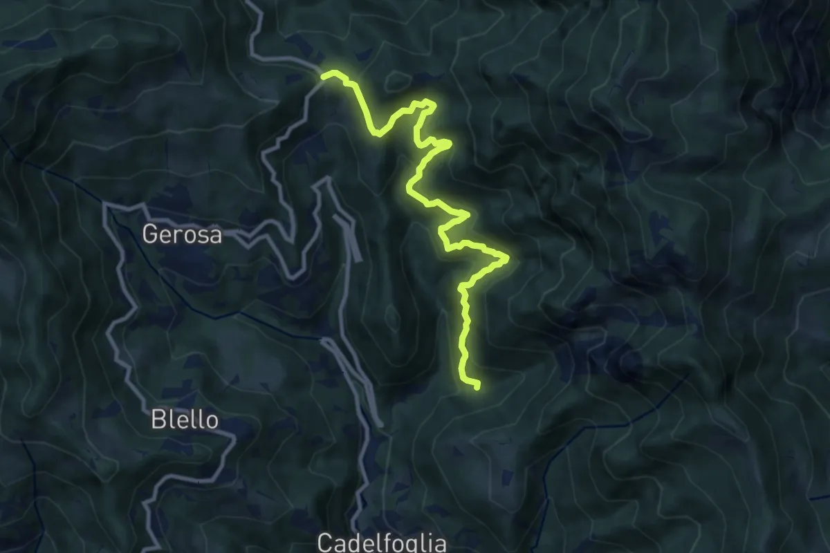
Medium · Trail
Incrocio 592C – Forcella di Bura
9.9 km · ↑ 766 m · 4 h · 7 km away
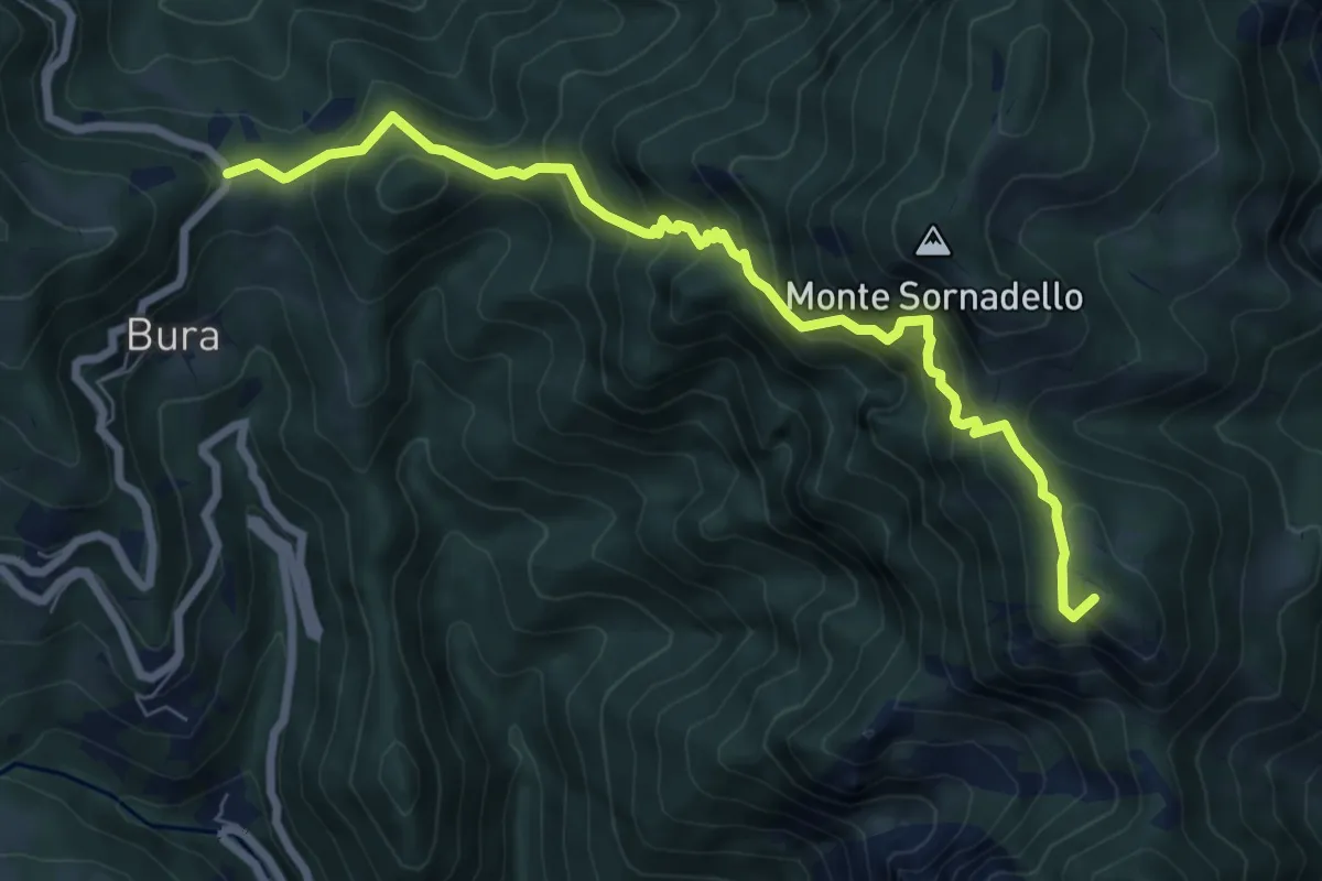
Demanding · Summit
Catremerio (Brembilla) – Forcella di Bura
7.7 km · ↑ 849 m · 3 h 40 min · 7 km away
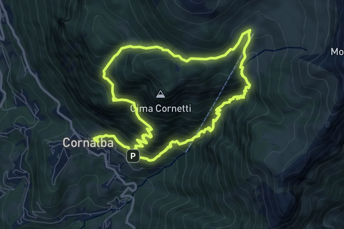
Medium · Trail
Cornalba – Cornalba
7.5 km · ↑ 759 m · 3 h 32 min · 7 km away
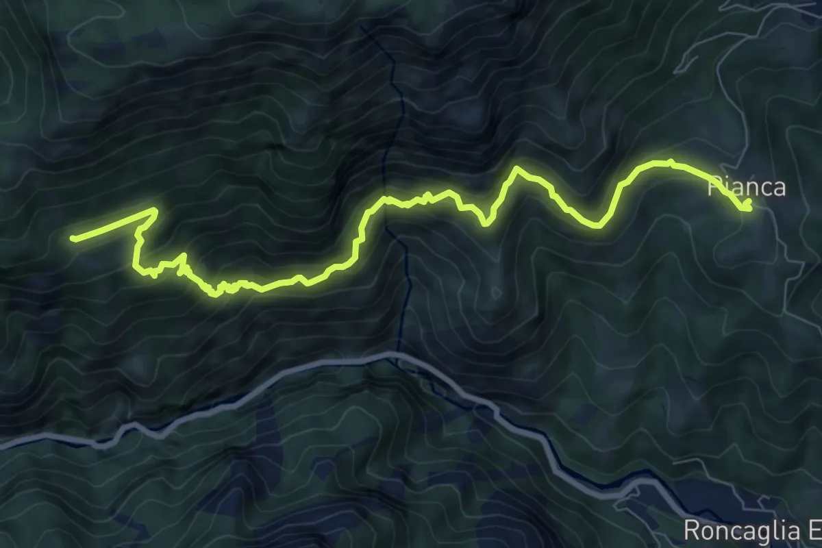
Demanding · Trail
Pianca (San Giovanni Bianco) – Cantiglio
9.6 km · ↑ 945 m · 4 h 20 min · 7 km away
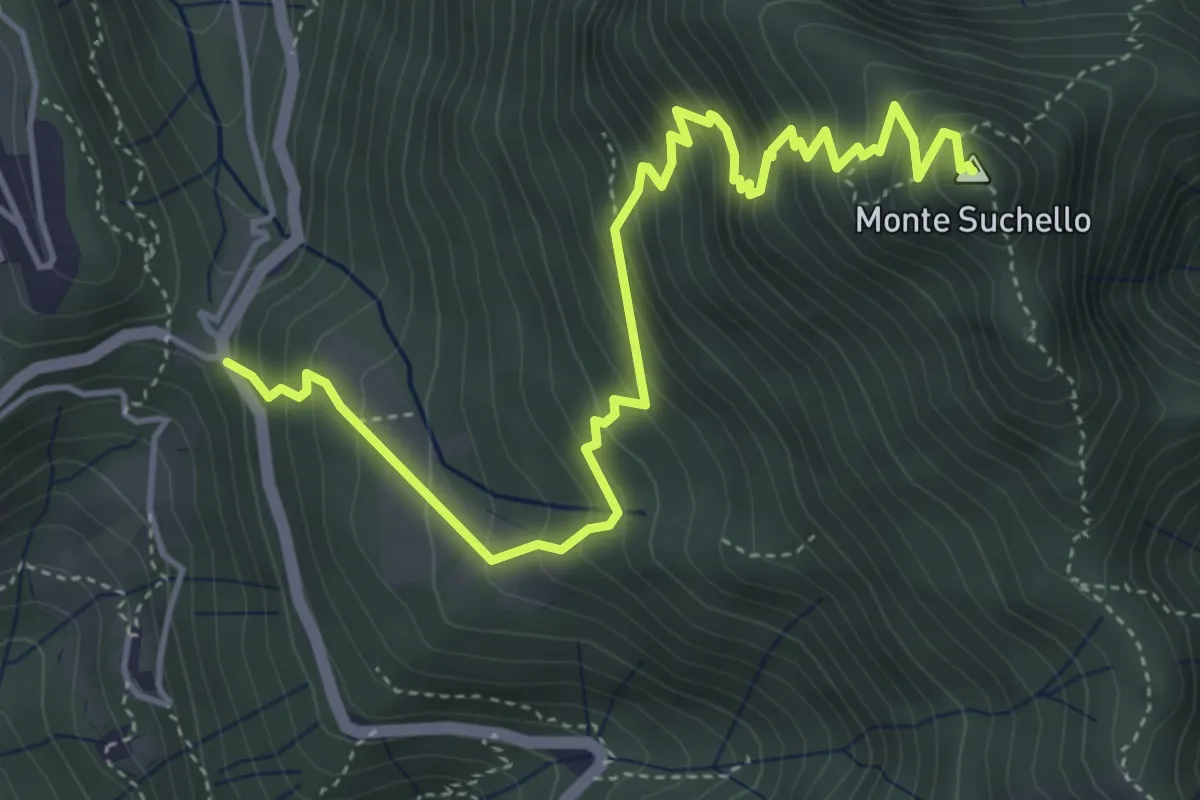
Medium · Summit
Costa Serina – Monte Suchello
5.5 km · ↑ 618 m · 2 h 39 min · 7 km away
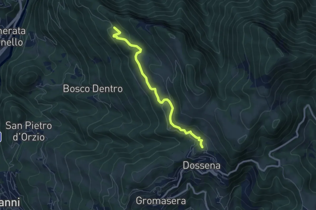
Easy · Trail
Villa – Miniere del Paglio
6.1 km · ↑ 231 m · 1 h 57 min · 7 km away
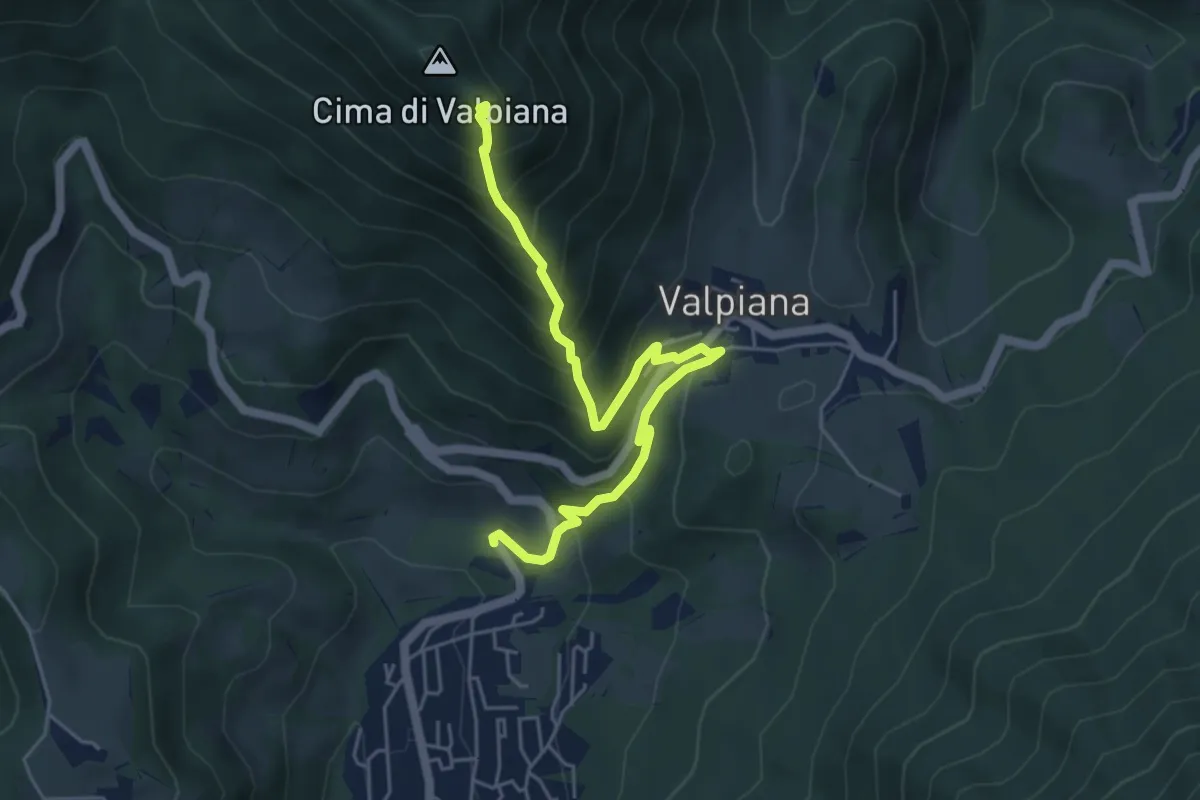
Medium · Trail
Monte Castello – Serina
5.5 km · ↑ 537 m · 2 h 27 min · 7 km away
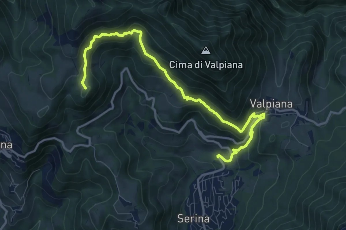
Medium · Summit
Serina – Monte Vaccareggio
9.9 km · ↑ 545 m · 3 h 32 min · 7 km away
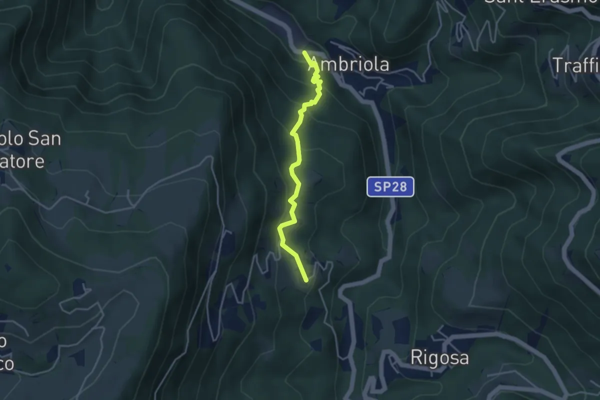
Medium · Trail
Ambriola – Sambusita (Chiesa)
3.3 km · ↑ 268 m · 1 h 21 min · 7 km away
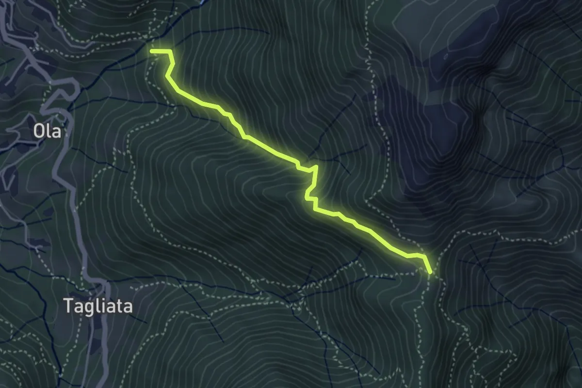
Medium · Trail
Incrocio H41 – Passo Barbata
3.8 km · ↑ 473 m · 1 h 56 min · 7 km away
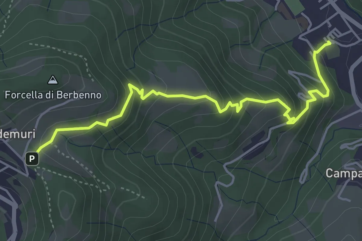
Medium · Trail
Brembilla – Forcella di Berbenno
4.6 km · ↑ 346 m · 1 h 50 min · 7 km away
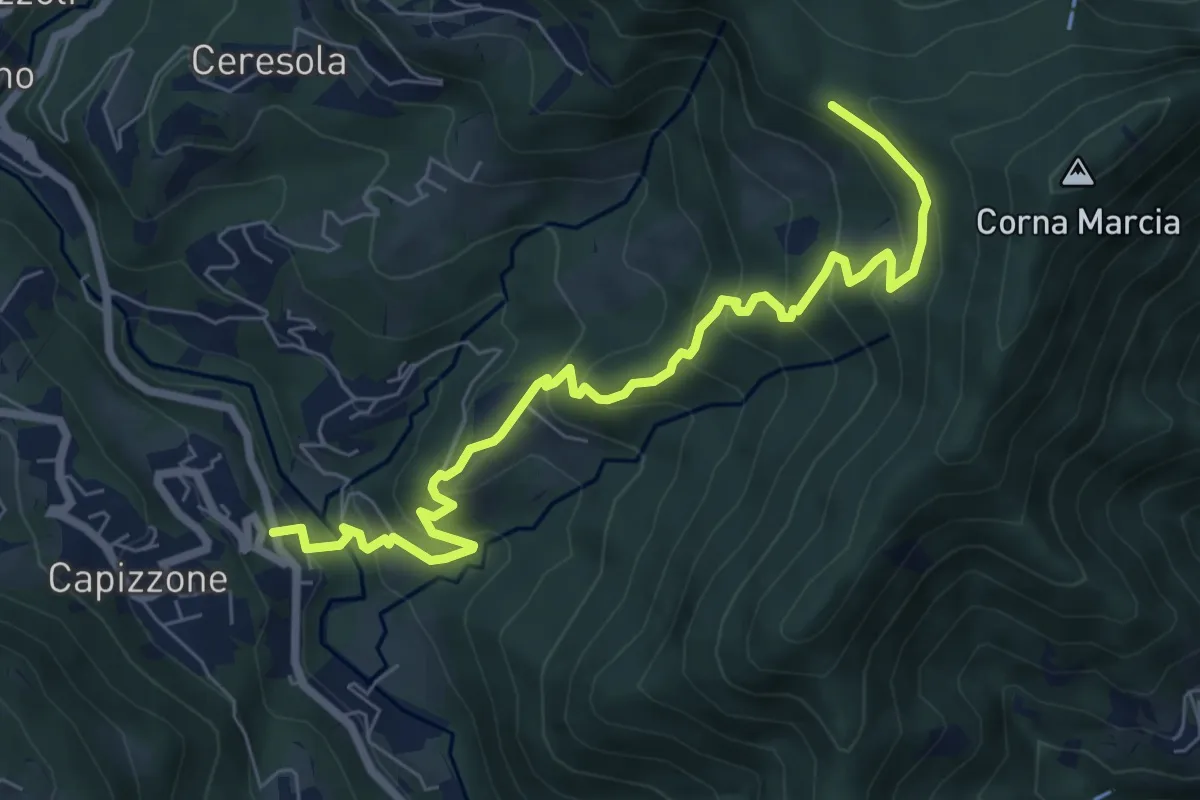
Medium · Trail
Medega (Capizzone) – Passo del Canto
7.9 km · ↑ 565 m · 3 h 5 min · 7 km away
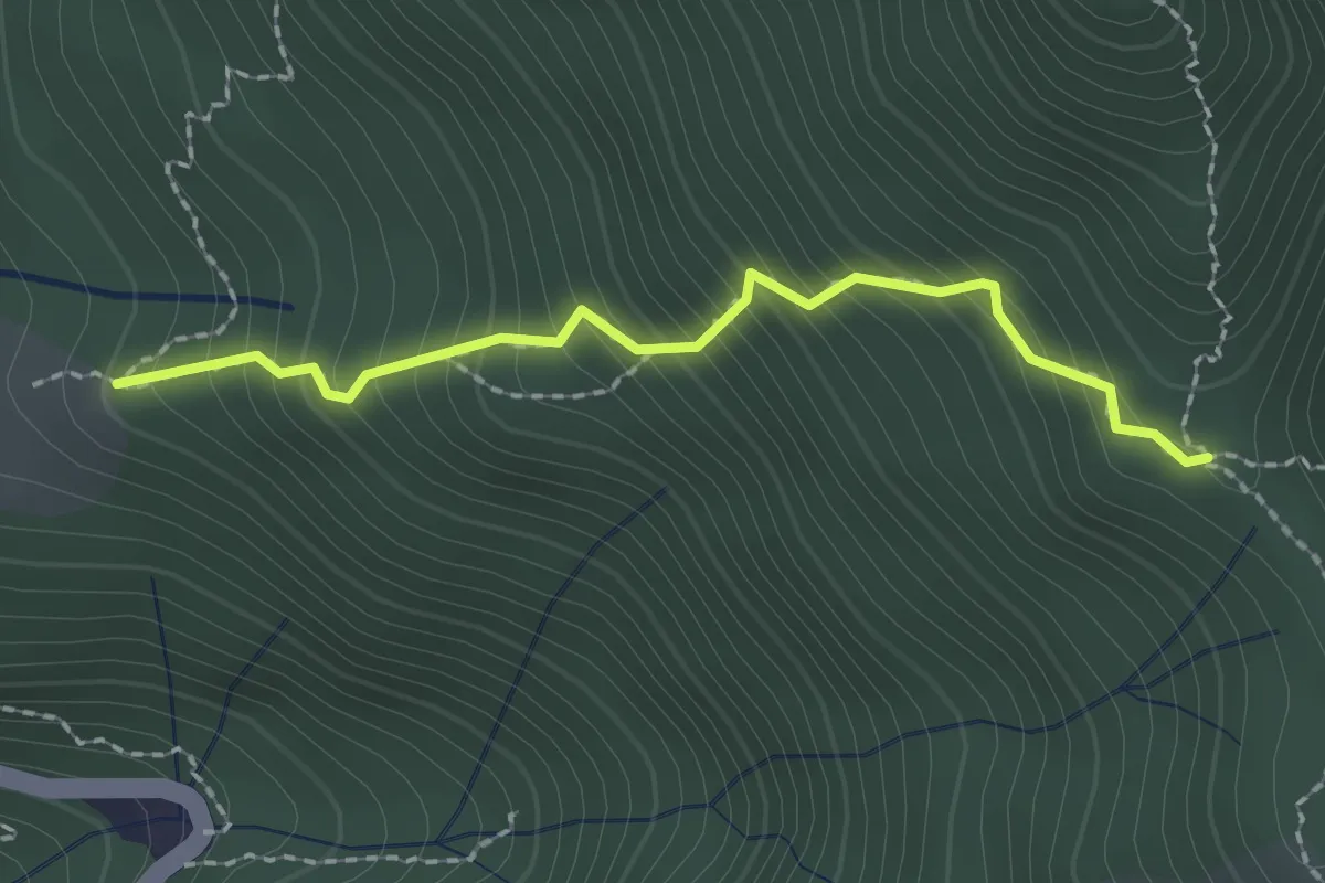
Easy · Trail
Stalla Aral – Incrocio sentiero 519
2.0 km · ↑ 300 m · 1 h 7 min · 7 km away
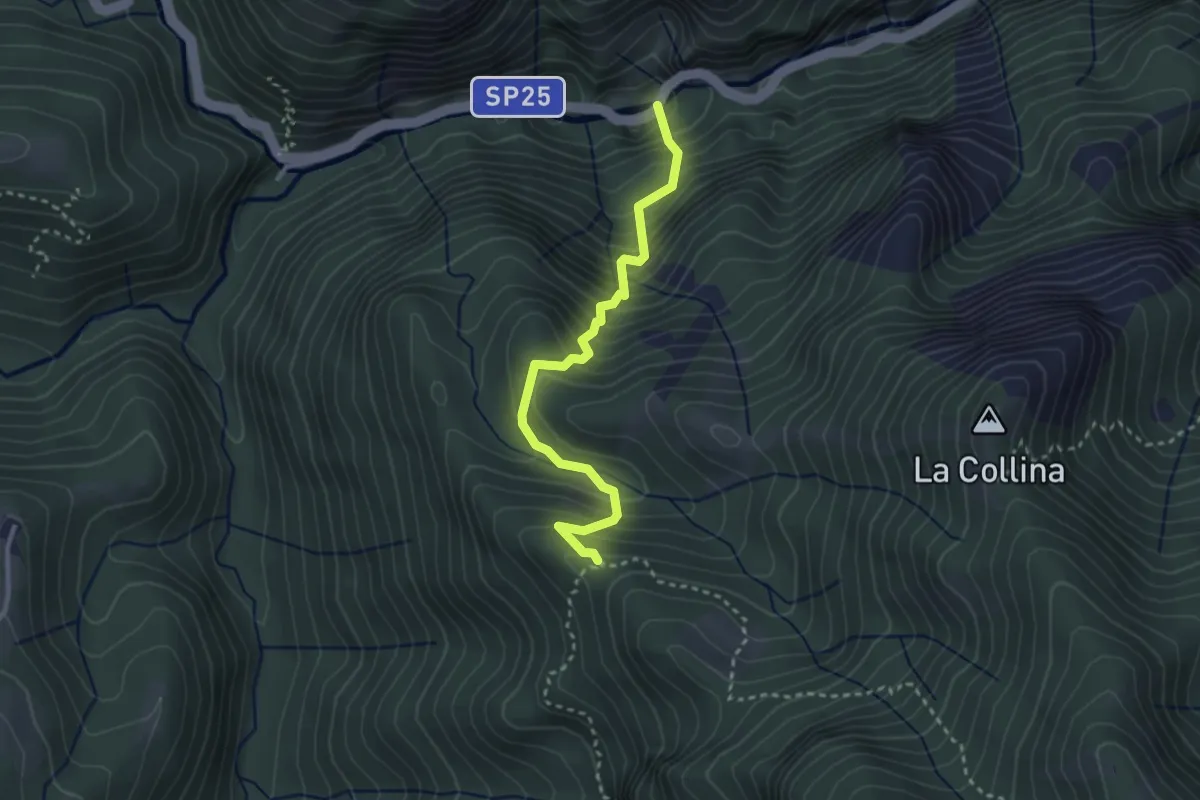
Medium · Trail
Orridi Val Taleggio – Incrocio 595B
3.0 km · ↑ 410 m · 1 h 36 min · 7 km away
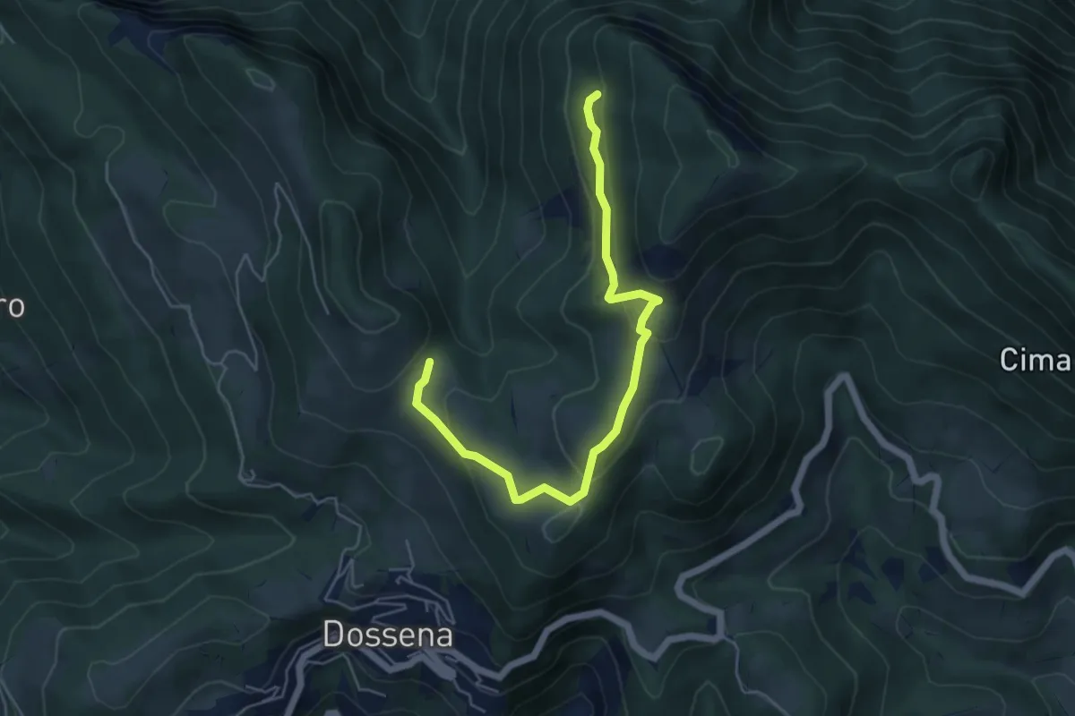
Medium · Trail
Sentiero della Calamina
5.6 km · ↑ 246 m · 1 h 51 min · 7 km away
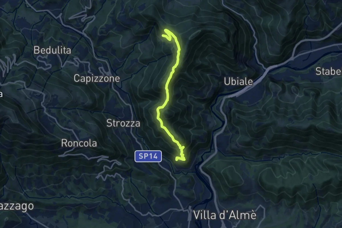
Medium · Trail
Sentiero del Partigiano Angelo Gotti
10.9 km · ↑ 778 m · 4 h 15 min · 7 km away
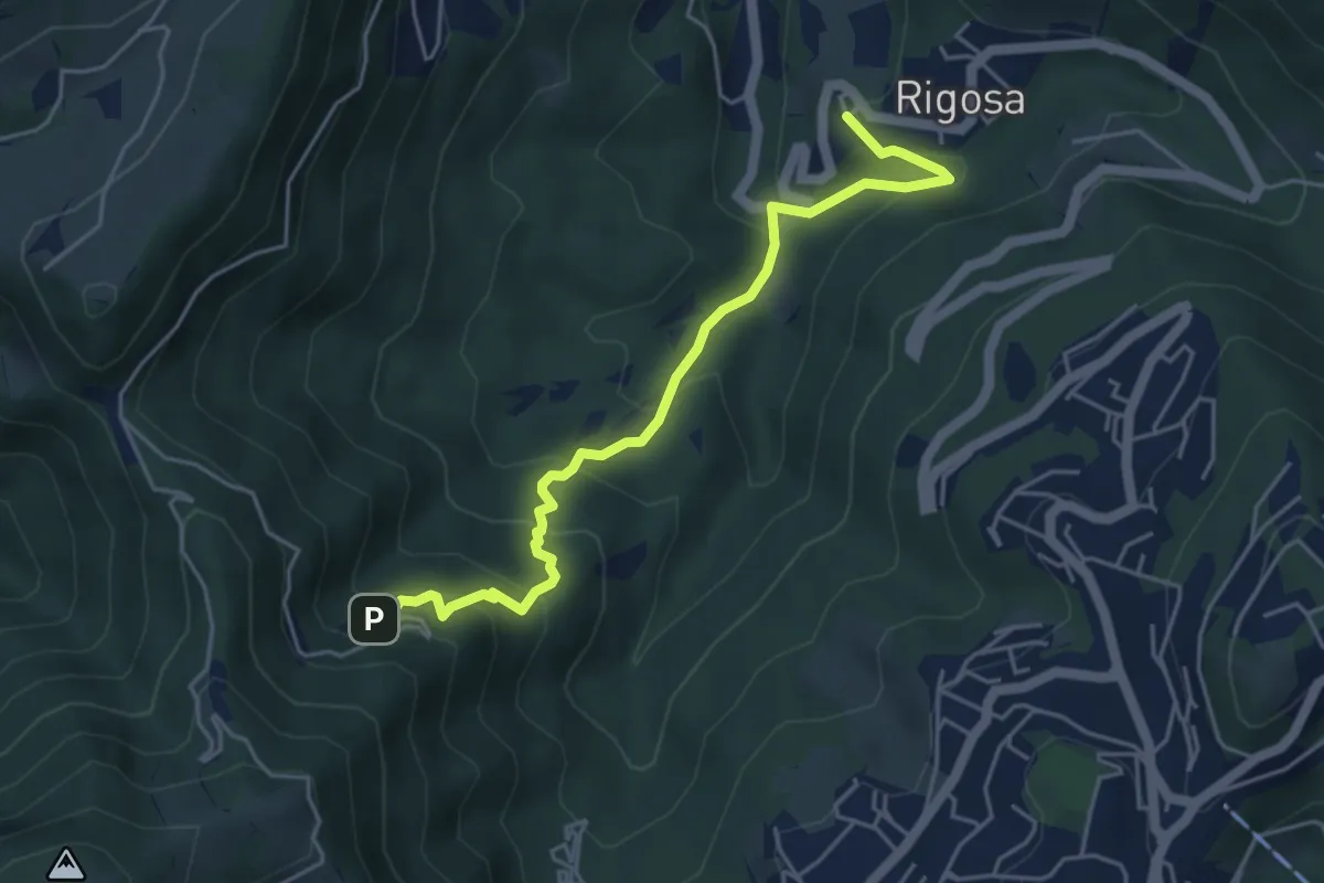
Medium · Trail
Rigosa – Santuario del Perello
5.0 km · ↑ 384 m · 2 h · 8 km away
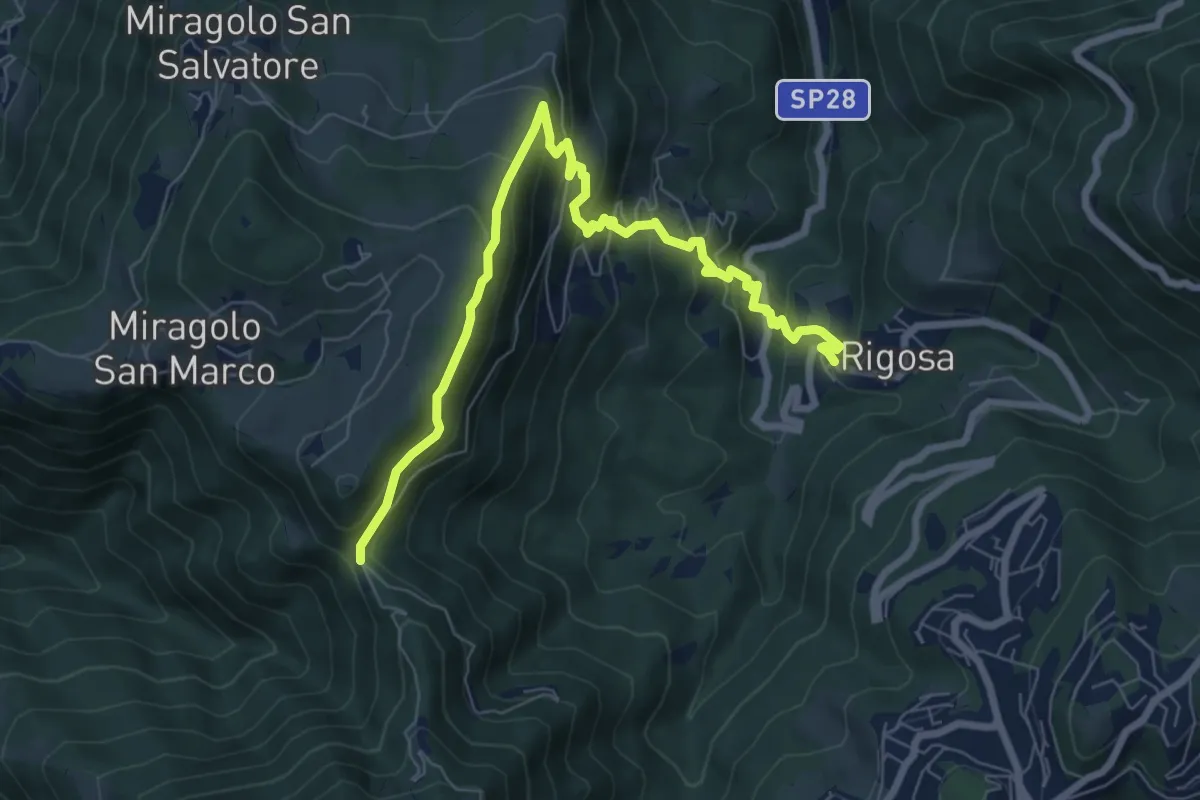
Medium · Trail
Rigosa – Passata
8.5 km · ↑ 576 m · 3 h 15 min · 8 km away
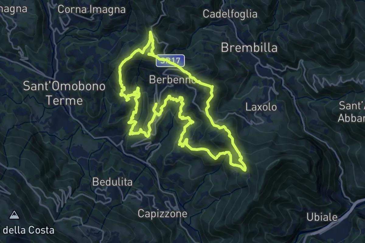
Demanding · Summit
Antiche Tracce
17.5 km · ↑ 1026 m · 6 h 37 min · 8 km away