Trails near San Pellegrino Terme
314 hikes starting within 15 km, nearest first.
Nearest first, page 3 of 7
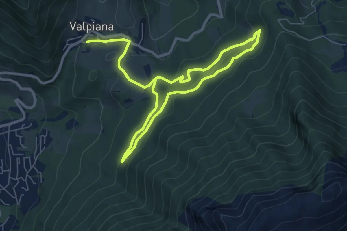
Easy · Trail
Anello Pista Cà di Zocc
5.0 km · ↑ 201 m · 1 h 38 min · 8 km away
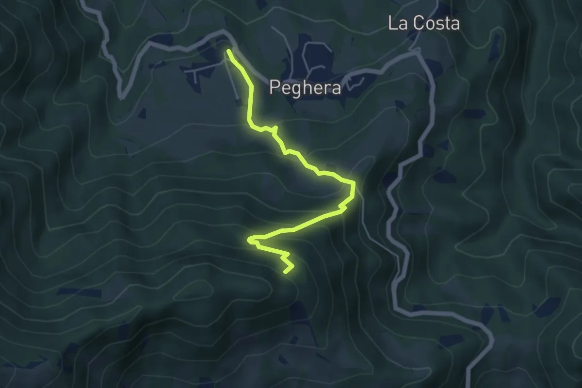
Demanding · Trail
Peghera – Piavigin
4.6 km · ↑ 380 m · 1 h 54 min · 8 km away
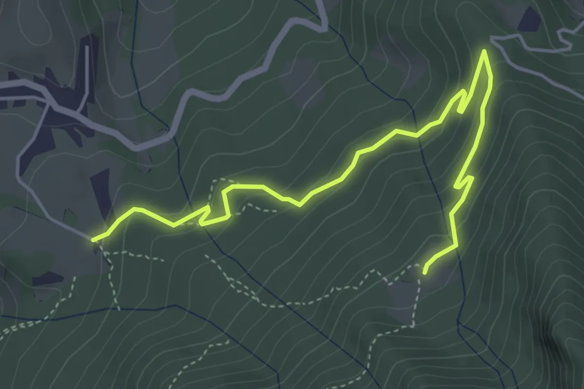
Easy · Trail
Cà di Zocc – Plan della Mussa
5.1 km · ↑ 255 m · 1 h 46 min · 8 km away
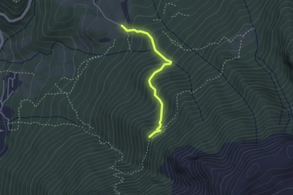
Medium · Cabin
Cà di Zocc – Casina Bianca
2.7 km · ↑ 322 m · 1 h 20 min · 8 km away
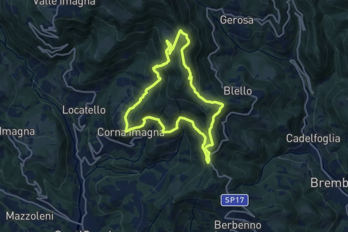
Medium · Summit
Sentiero dei Roccoli
9.3 km · ↑ 570 m · 3 h 34 min · 8 km away
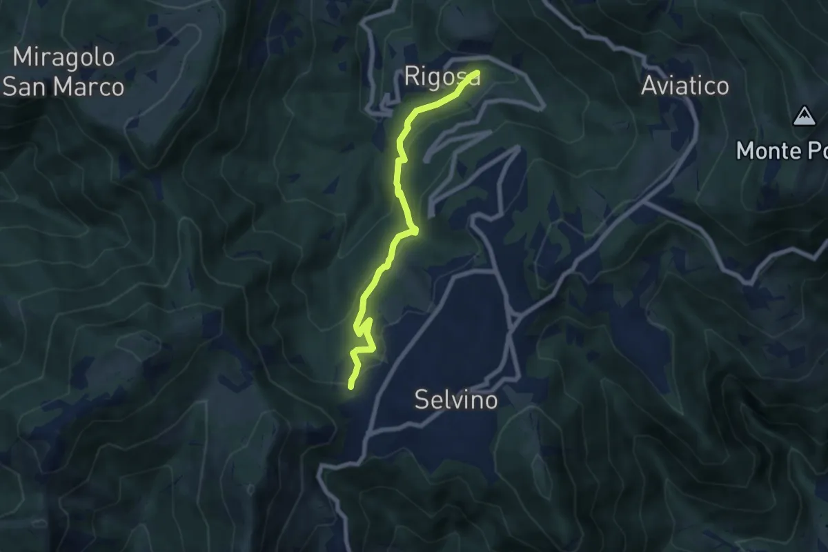
Medium · Trail
Rigosa (Vecchio Mulino) – Selvino
6.1 km · ↑ 392 m · 2 h 17 min · 8 km away
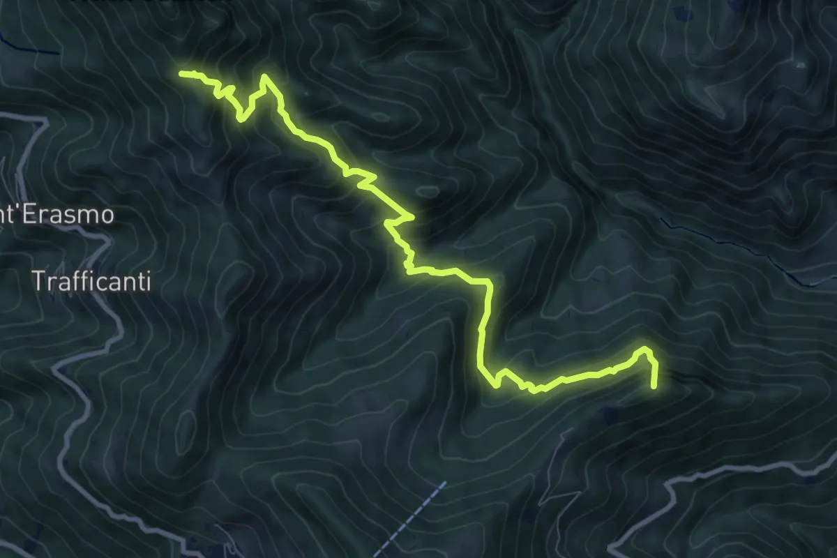
Demanding · Summit
Os-cioel (Orezzo) – Incrocio 519
10.4 km · ↑ 1063 m · 4 h 45 min · 8 km away
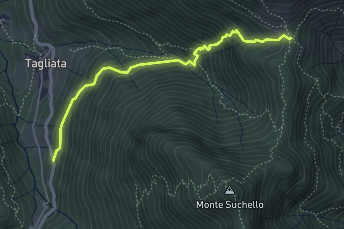
Medium · Trail
Costa di Serina – Passo Barbata (incrocio 525)
4.3 km · ↑ 508 m · 2 h 8 min · 8 km away
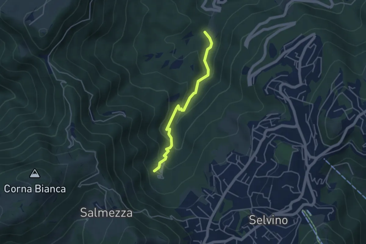
Medium · Trail
Rigosa (Loc. Fop) – Selvino (Sorgente Cantor)
3.4 km · ↑ 225 m · 1 h 18 min · 8 km away
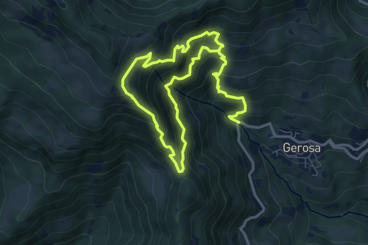
Demanding · Trail
Mulini – Tre Faggi
11.1 km · ↑ 1129 m · 5 h 4 min · 8 km away
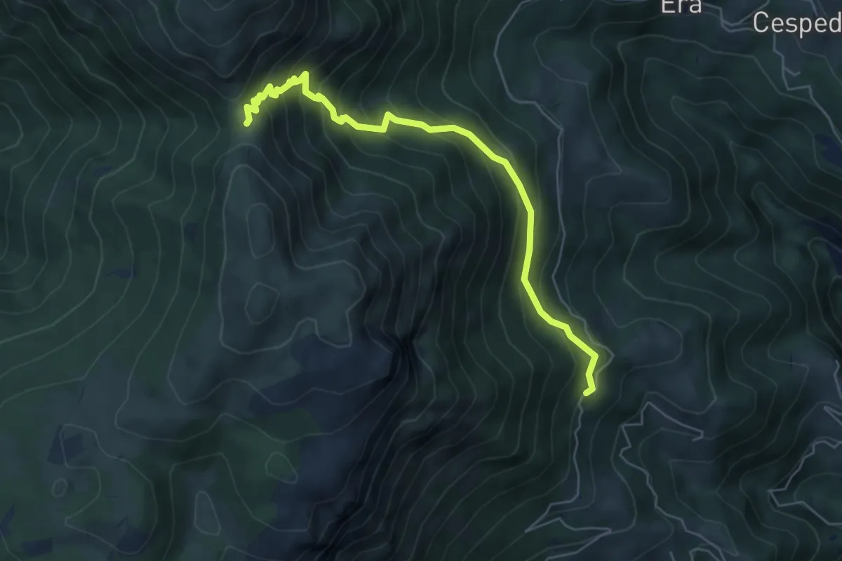
Medium · Trail
Foppelle (Camerata Cornello) – Passo di Grialeggio
6.0 km · ↑ 590 m · 2 h 41 min · 8 km away
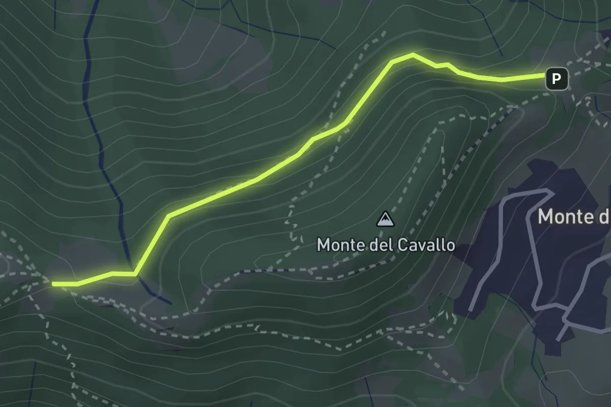
Easy · Trail
Canto Basso – Forcella di Monte di Nese
2.7 km · ↑ 240 m · 1 h 10 min · 8 km away
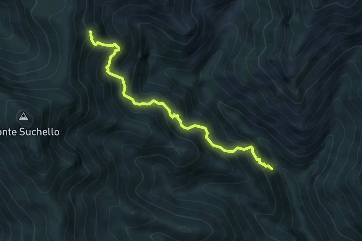
Medium · Trail
Val Vertova – Colle di Barbata
5.0 km · ↑ 660 m · 2 h 36 min · 8 km away
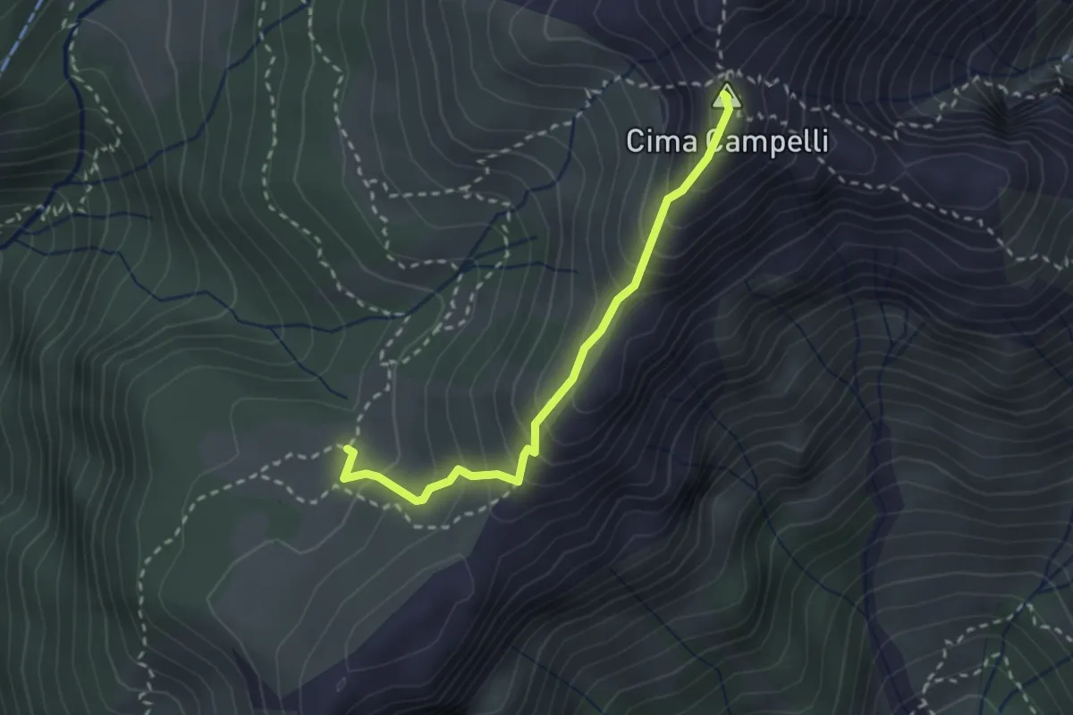
Demanding · Summit
Incrocio 525 – Incrocio 530
2.5 km · ↑ 274 m · 1 h 11 min · 8 km away
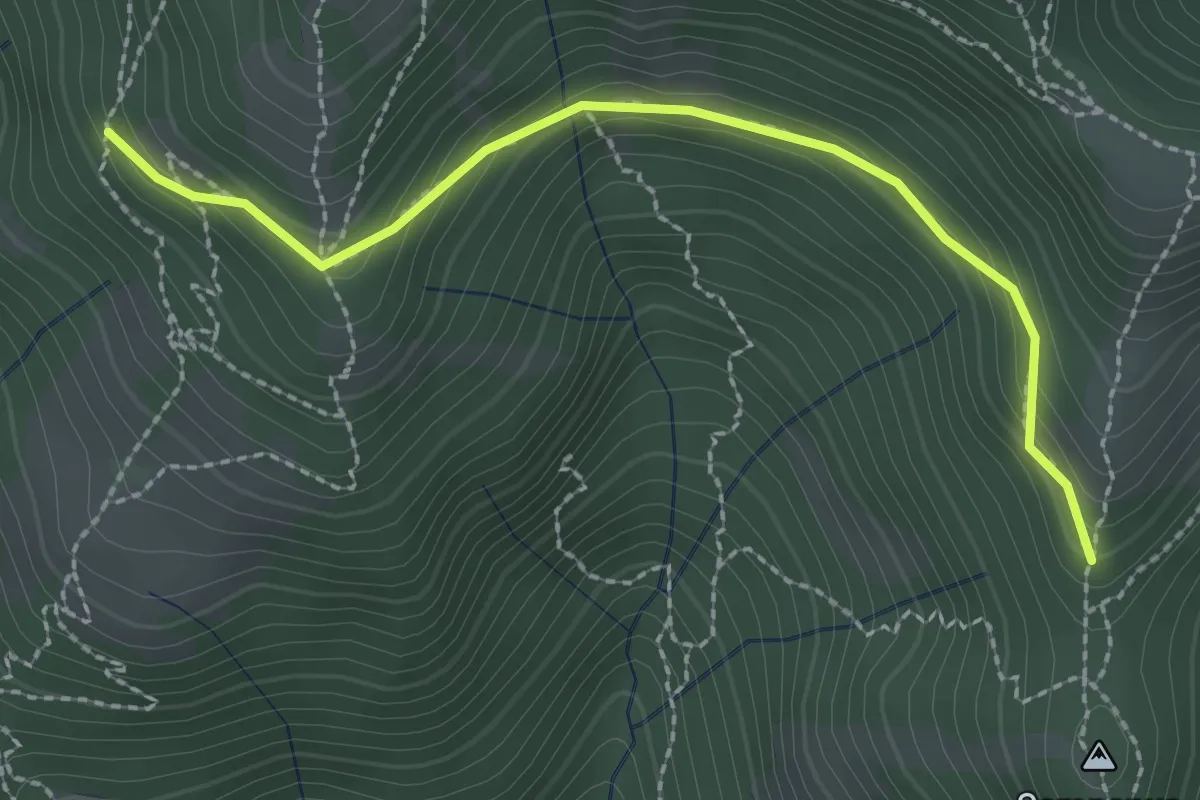
Medium · Trail
La Senna – Campanua
2.5 km · ↑ 151 m · 55 min · 8 km away
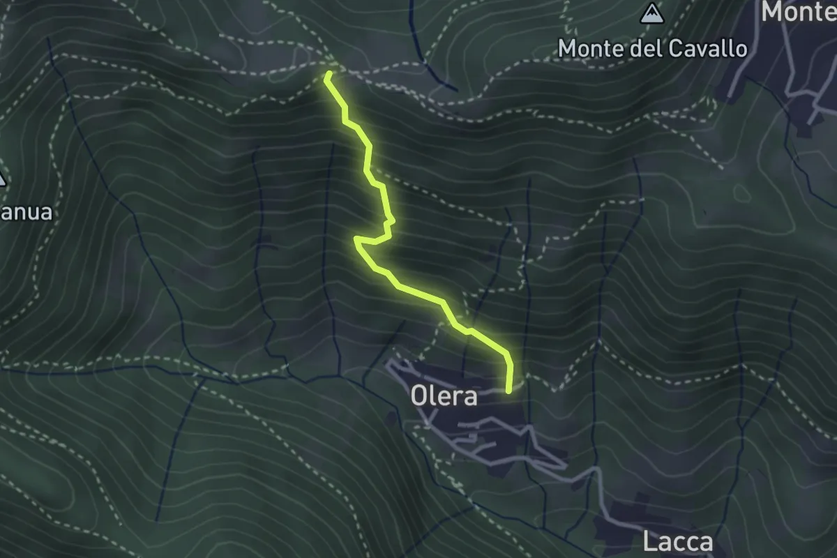
Medium · Trail
Olera (Alzano Lombardo) – Canto Basso
2.3 km · ↑ 347 m · 1 h 18 min · 8 km away
Medium · Trail
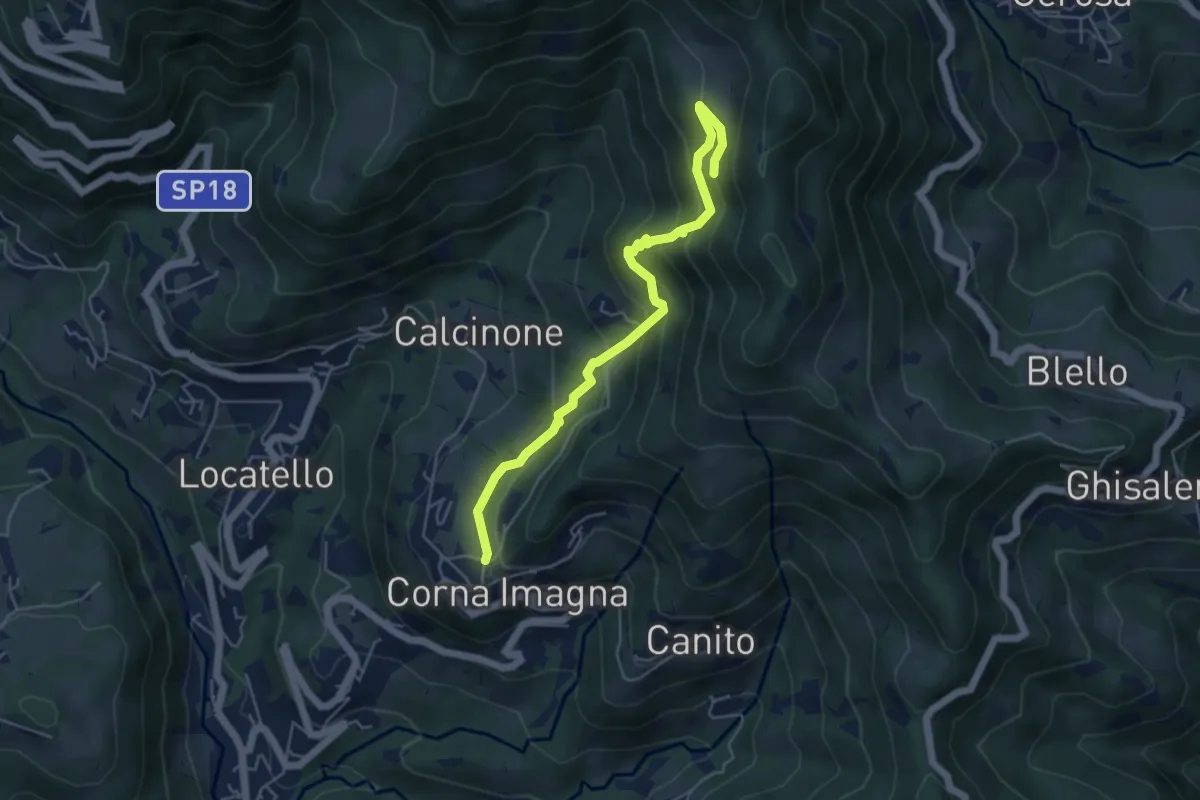
Cavaggio (Corna Imagna) – Piazzacava (incrocio 571)
5.2 km · ↑ 392 m · 2 h 5 min · 9 km away
Easy · Trail
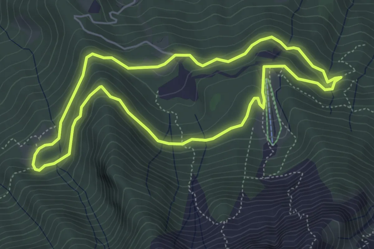
Anello Pista Conca dell’Alben
5.0 km · ↑ 198 m · 1 h 41 min · 9 km away
Demanding · Trail
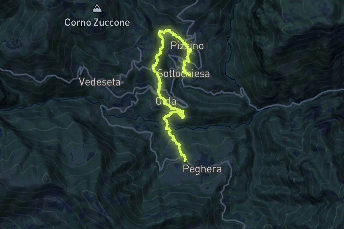
Sentiero dei Laghi Basso - Tappa 4
13.8 km · ↑ 884 m · 5 h 10 min · 9 km away
Demanding · Summit
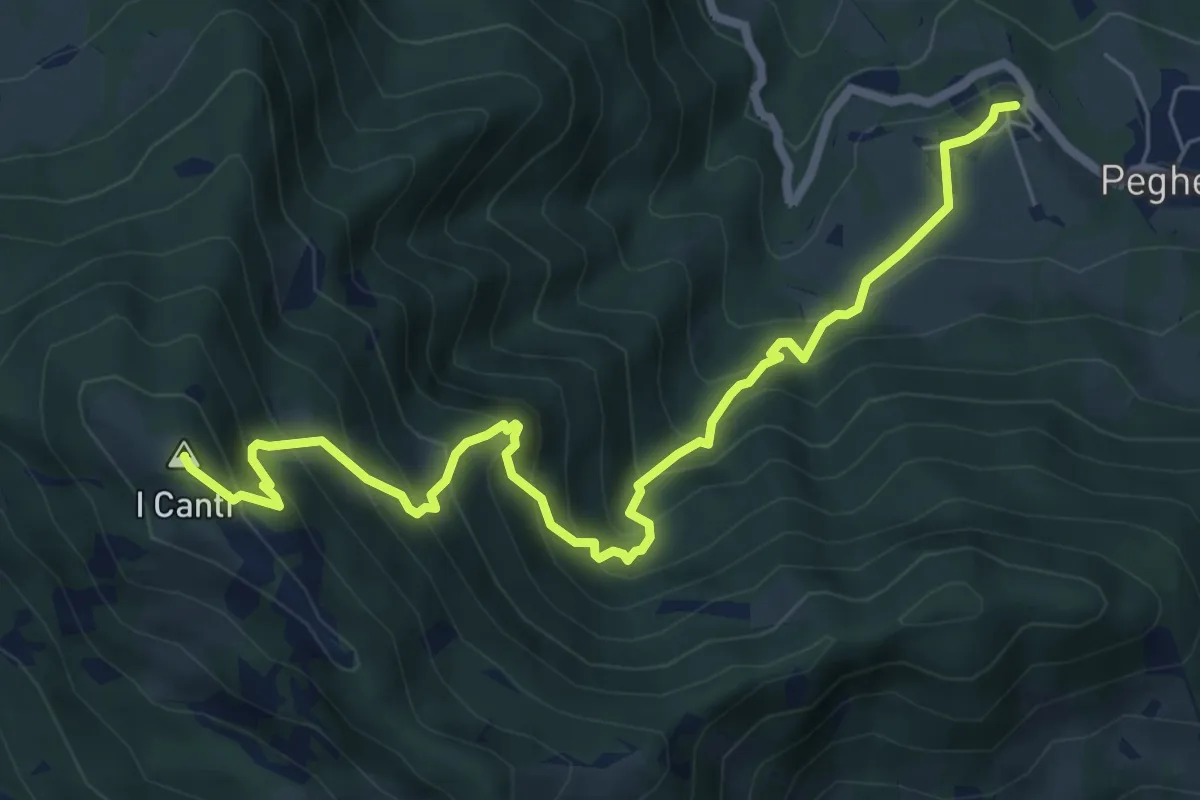
Peghera – I Canti
7.7 km · ↑ 792 m · 3 h 33 min · 9 km away
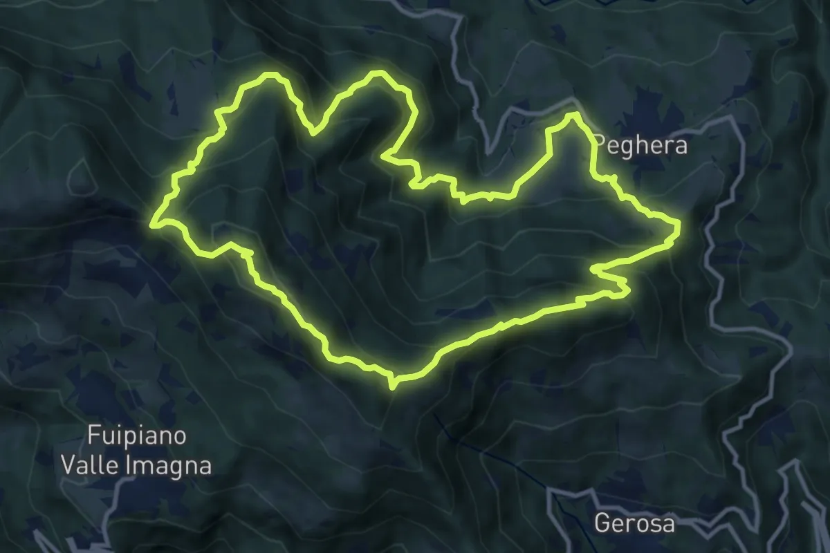
Demanding · Summit
Sentiero della Cultura Casearia - Peghera, luogo di stagionatura
11.9 km · ↑ 901 m · 4 h 56 min · 9 km away
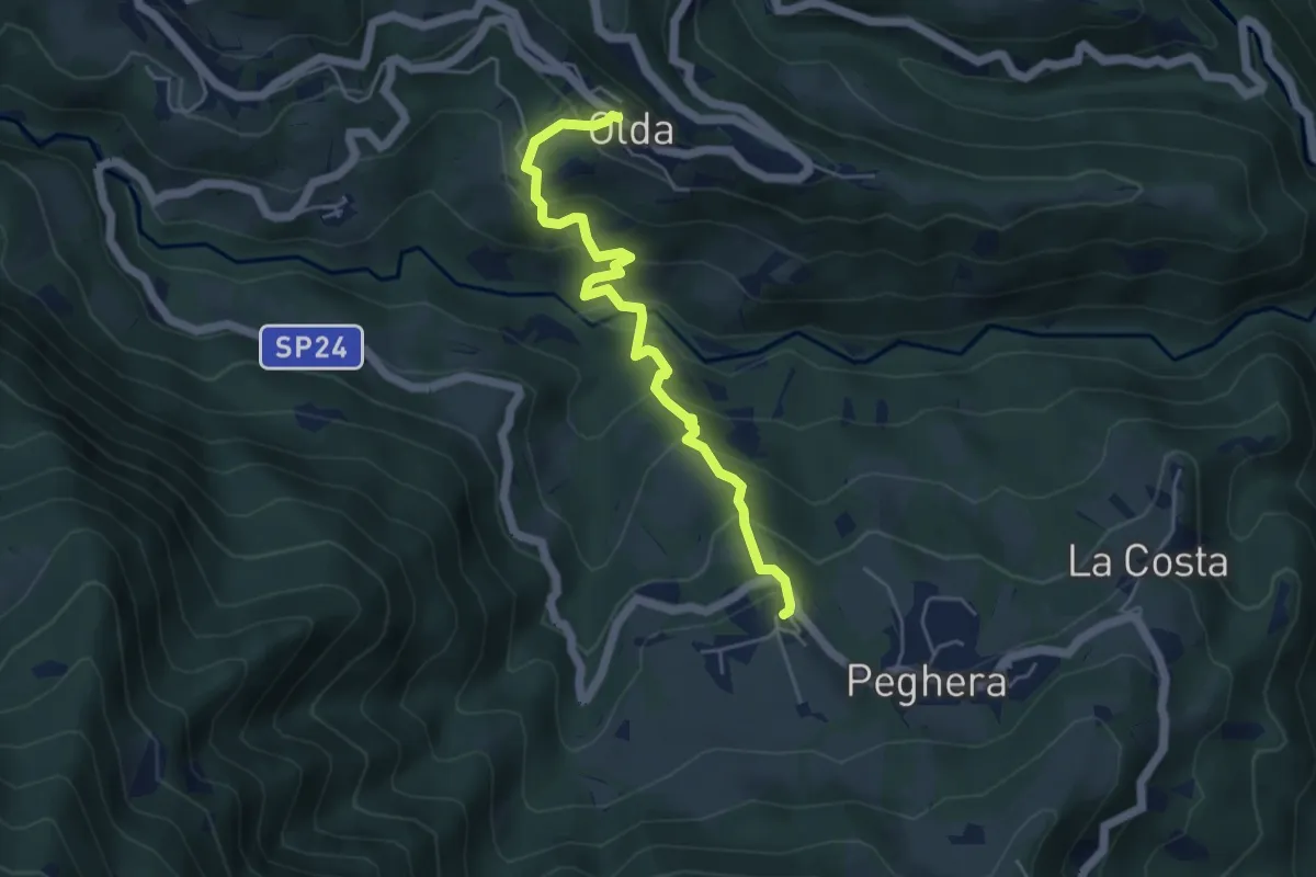
Medium · Trail
Olda – Peghera
5.0 km · ↑ 401 m · 2 h 4 min · 9 km away
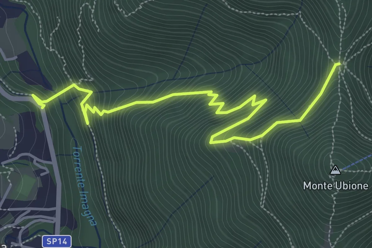
Medium · Trail
Strozza – Roccoli della Passata
4.5 km · ↑ 494 m · 2 h 8 min · 9 km away
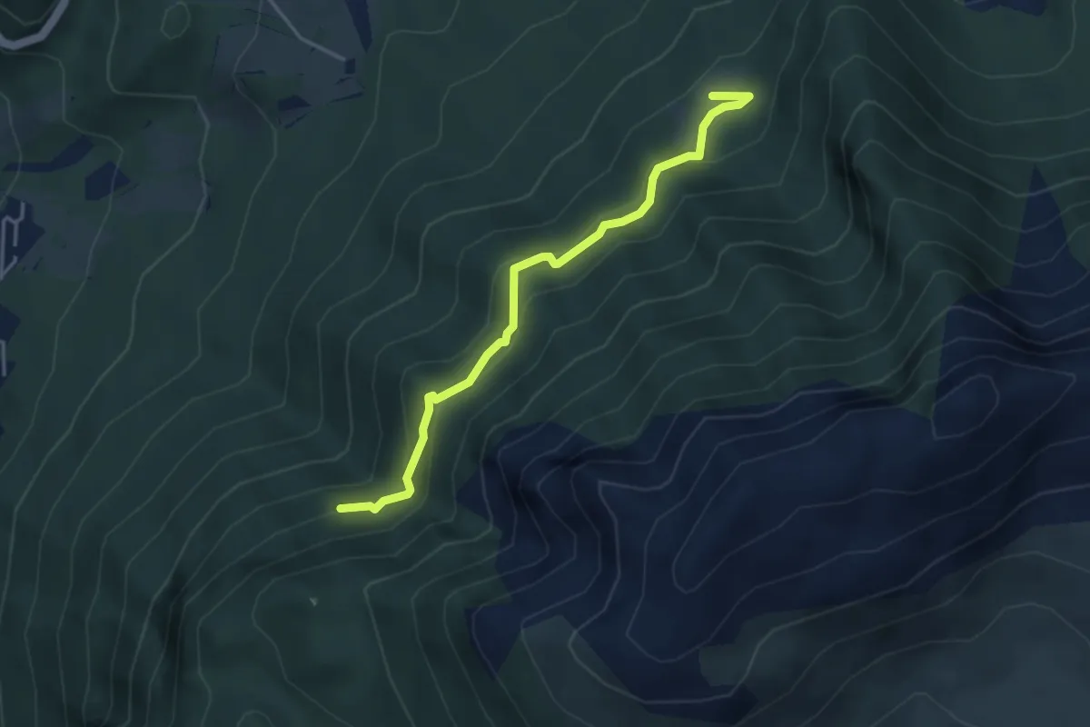
Medium · Trail
Pian della Mussa – Incrocio 502
3.8 km · ↑ 282 m · 1 h 31 min · 9 km away
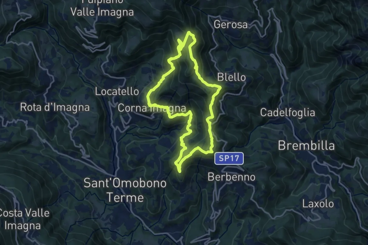
Medium · Summit
Sentiero della Cultura Casearia - tra le valli Imagna e Brembilla
11.9 km · ↑ 792 m · 4 h 41 min · 9 km away
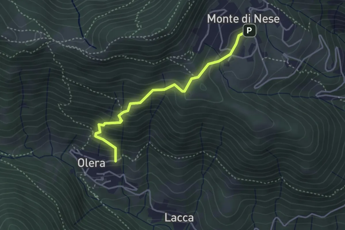
Medium · Trail
Olera (Alzano Lombardo) – Monte di Nese
3.4 km · ↑ 307 m · 1 h 29 min · 9 km away
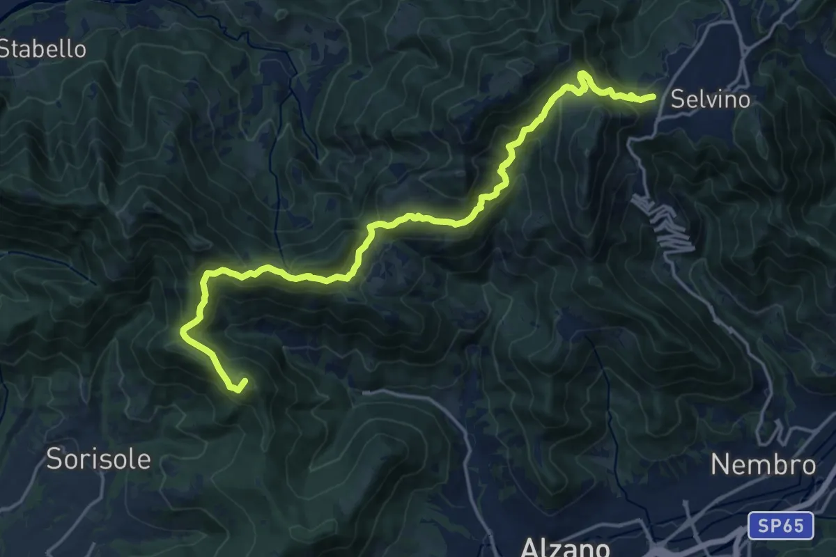
Demanding · Summit
Bergamo (Monterosso) – Selvino
18.3 km · ↑ 1015 m · 6 h 32 min · 9 km away
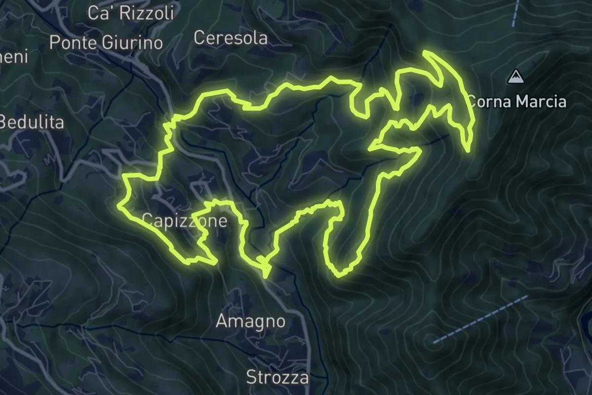
Demanding · Trail
Anello delle Contrade
14.2 km · ↑ 981 m · 5 h 41 min · 9 km away
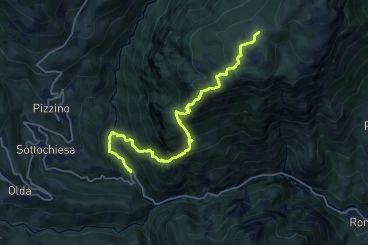
Demanding · Trail
Taleggio (Ponte del Becco) – Baita Cancervo
12.2 km · ↑ 1126 m · 5 h 19 min · 9 km away
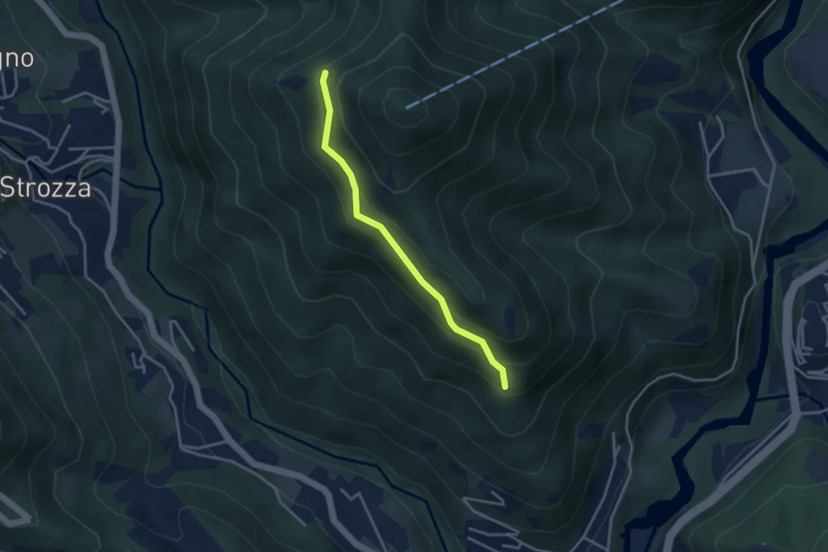
Medium · Trail
Incrocio 571 – Incrocio 584
2.7 km · ↑ 197 m · 1 h 4 min · 9 km away
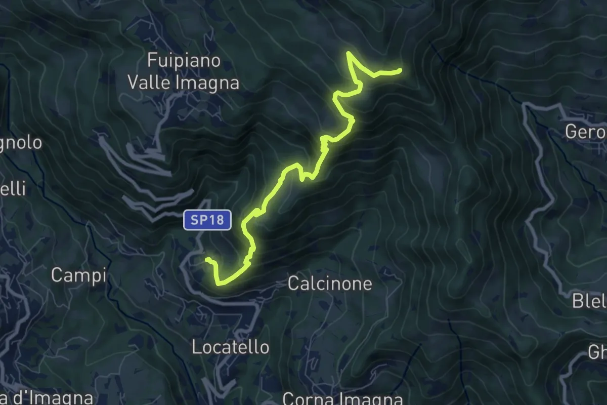
Medium · Trail
Locatello – Tre Faggi
8.1 km · ↑ 678 m · 3 h 23 min · 9 km away
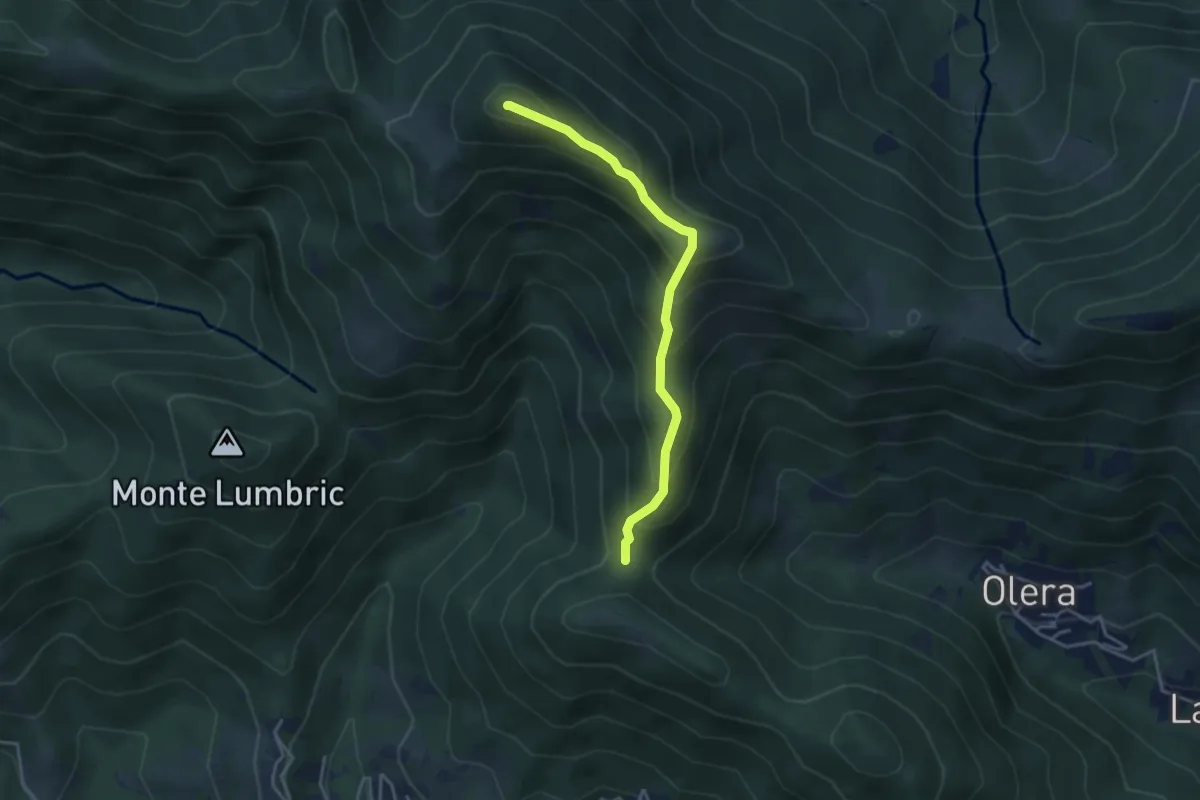
Medium · Summit
Forcella del Sorriso – Monte Canto Alto
3.6 km · ↑ 370 m · 1 h 39 min · 9 km away
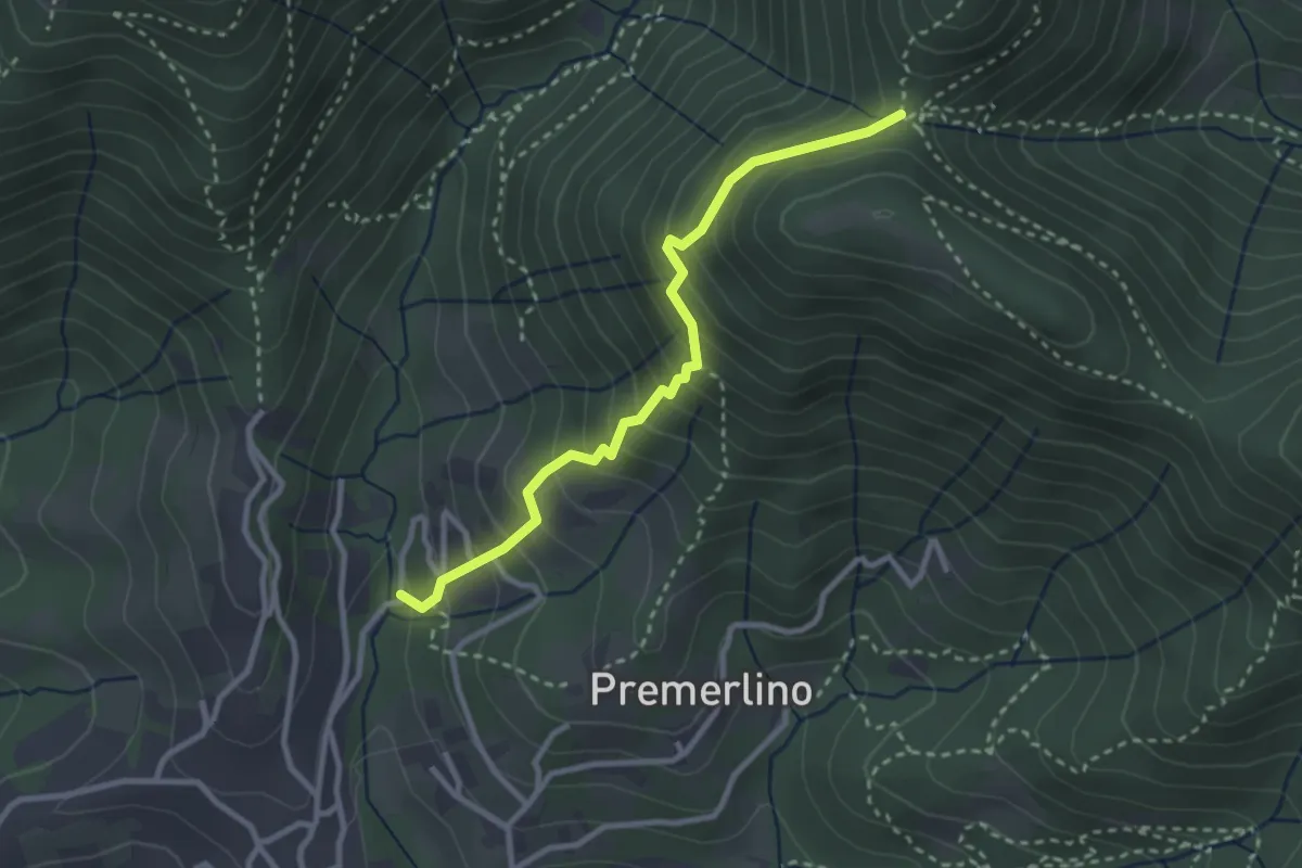
Medium · Trail
Catene (Sorisole) – Forcella del Sorriso
2.9 km · ↑ 309 m · 1 h 21 min · 9 km away
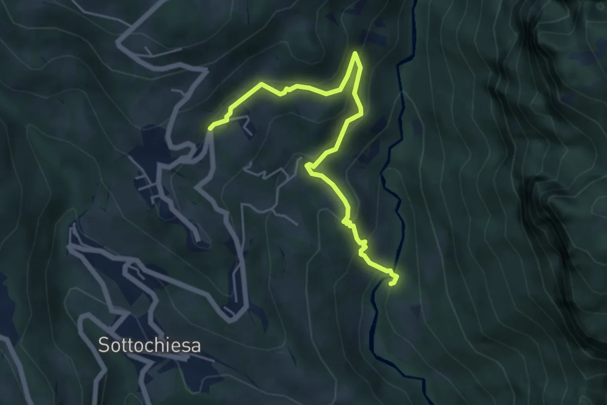
Medium · Trail
Incrocio 130 (Ponte Forcola) – Grasso
4.7 km · ↑ 308 m · 1 h 47 min · 9 km away
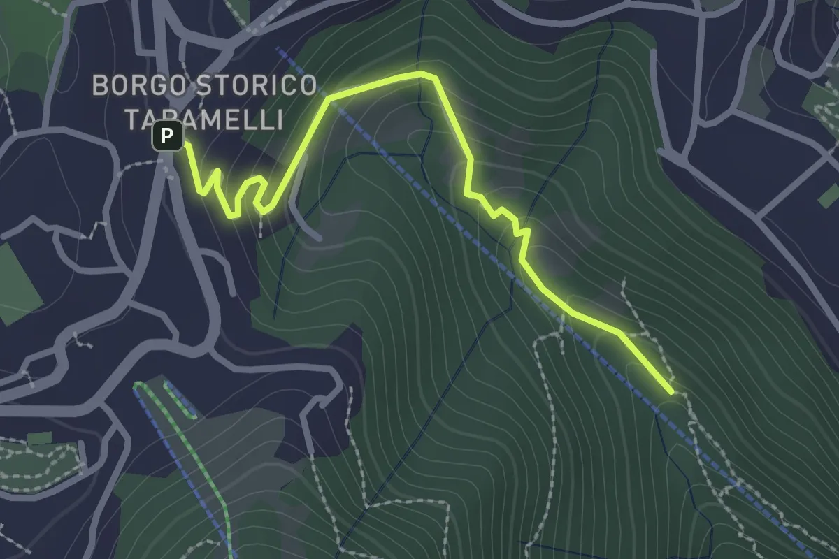
Easy · Trail
Incrocio 550 – Selvino
2.6 km · ↑ 160 m · 58 min · 9 km away
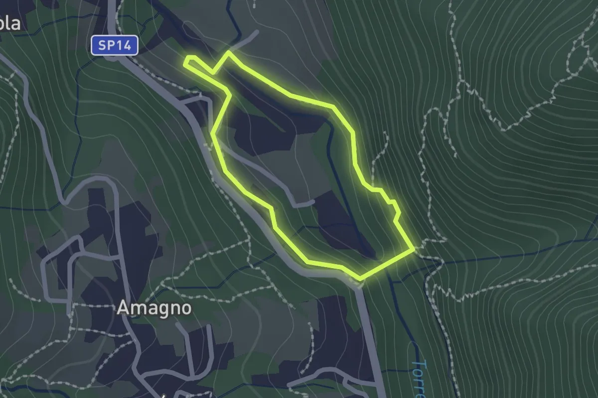
Easy · Trail
Anello del Poscadì
1.5 km · ↑ 62 m · 31 min · 9 km away
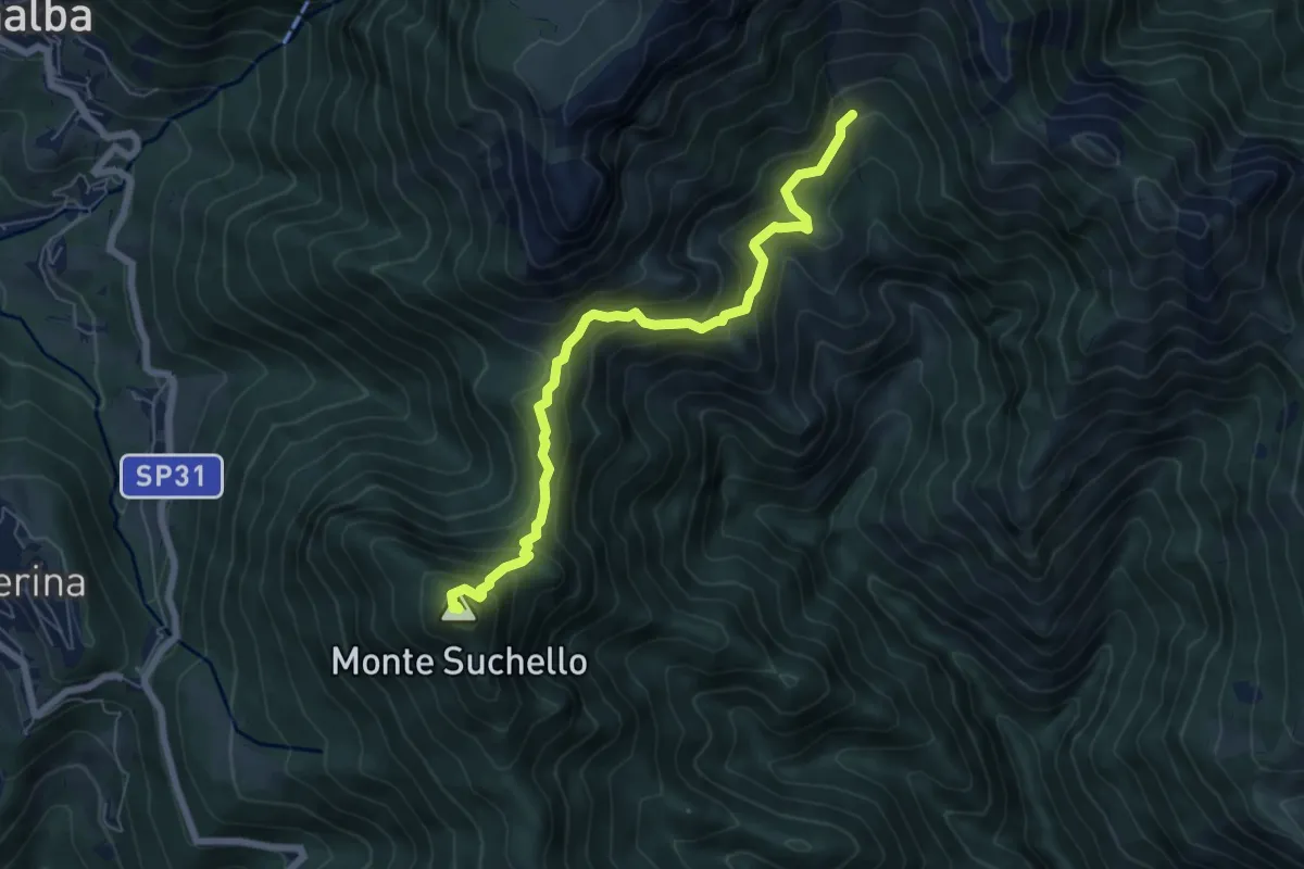
Medium · Summit
Aviatico – Sedernello
6.5 km · ↑ 548 m · 2 h 44 min · 9 km away
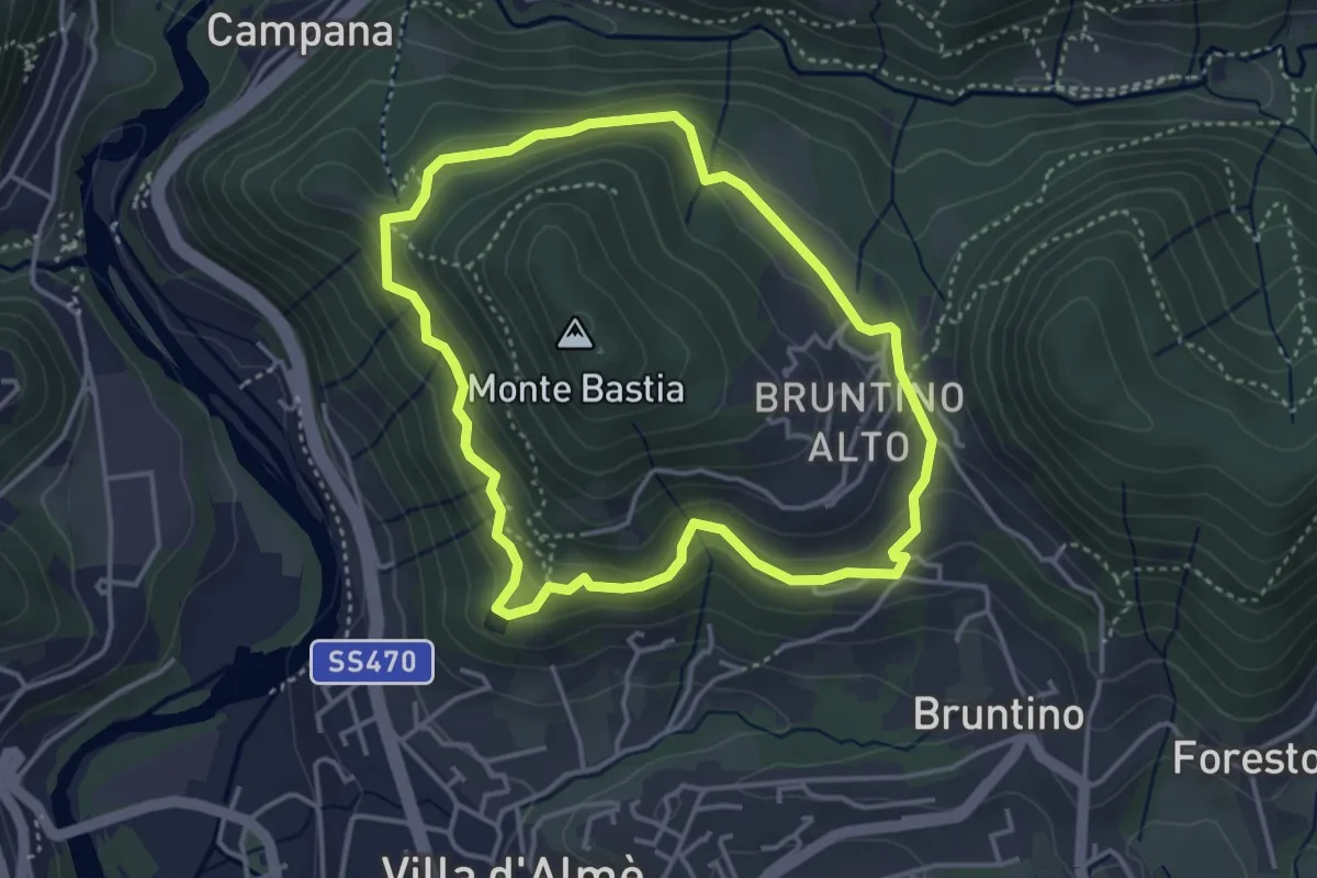
Medium · Trail
Giro del Monte Bastia
3.7 km · ↑ 174 m · 1 h 18 min · 9 km away
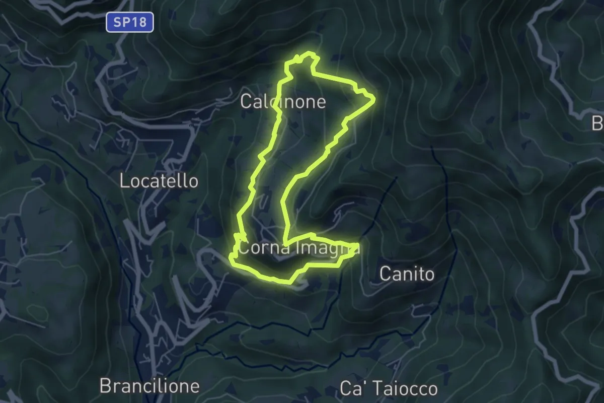
Easy · Trail
Sentiero del Castagno
5.2 km · ↑ 318 m · 2 h · 9 km away
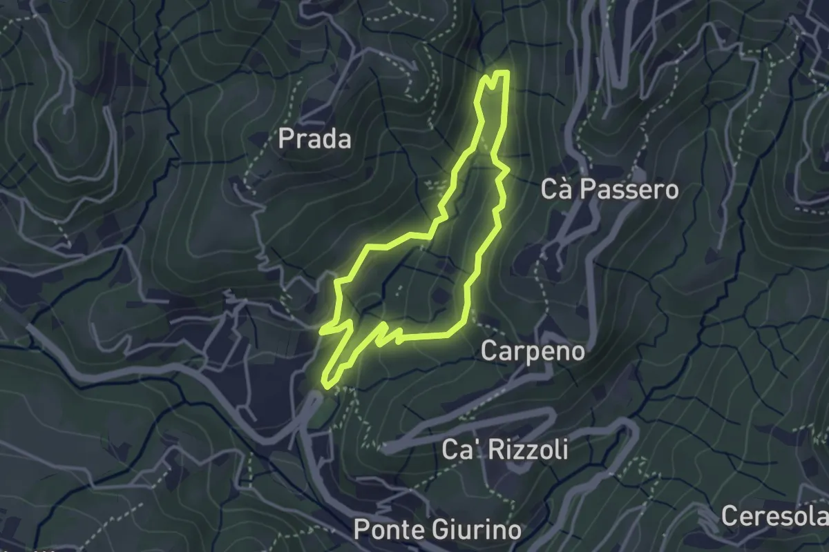
Easy · Trail
Valle del Brunone Percorso C1
3.0 km · ↑ 111 m · 59 min · 9 km away
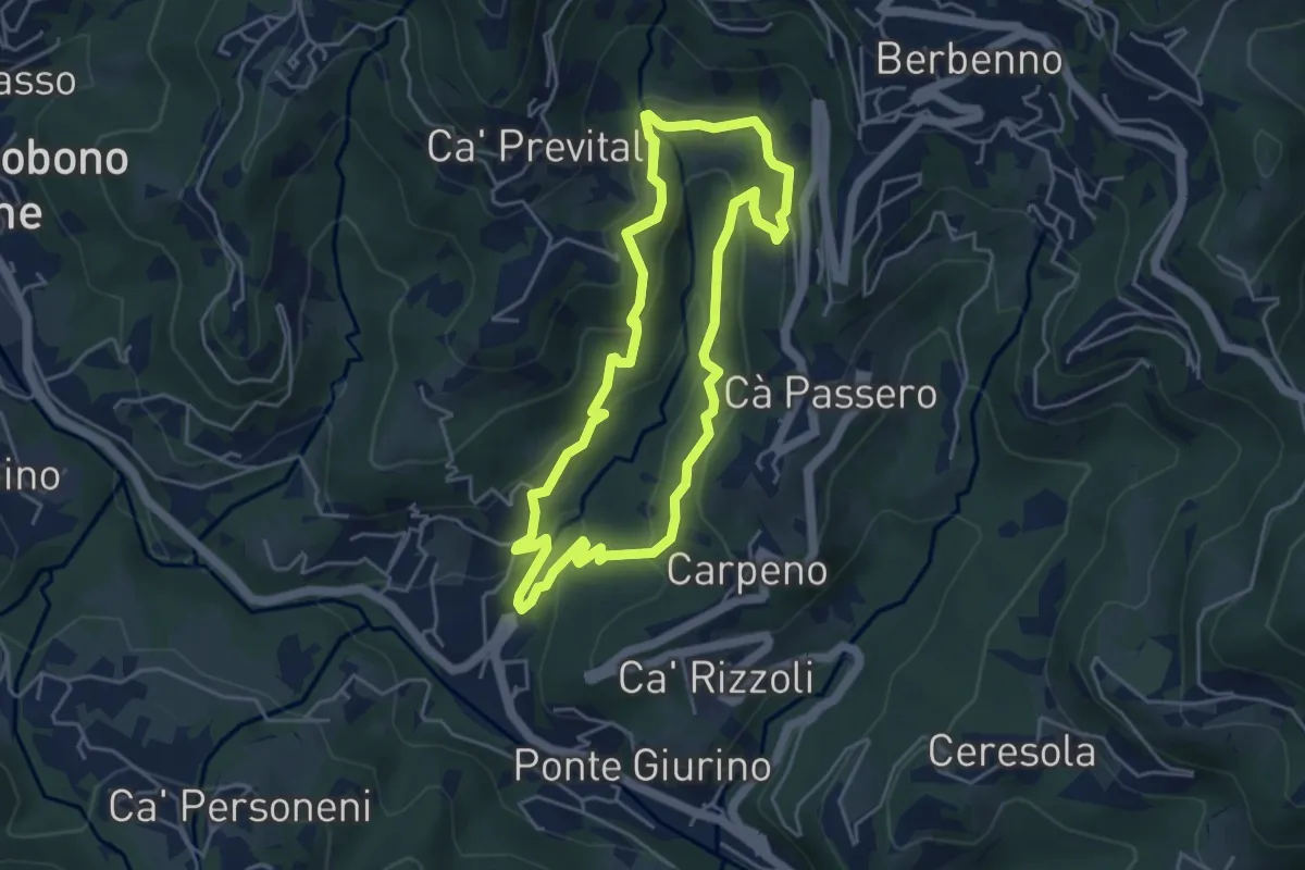
Easy · Trail
Valle del Brunone Percorso C
4.4 km · ↑ 243 m · 1 h 38 min · 9 km away
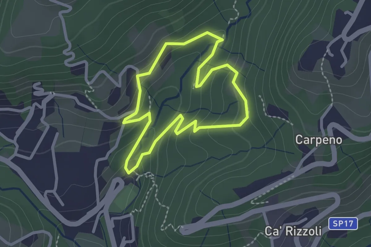
Easy · Trail
Valle del Brunone Percorso B
2.0 km · ↑ 92 m · 41 min · 9 km away
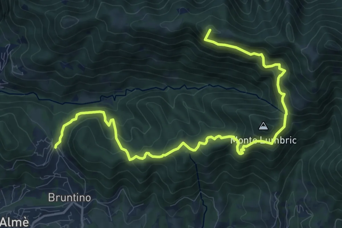
Demanding · Summit
Bruntino Alto – Prati Parini
13.4 km · ↑ 1072 m · 5 h 30 min · 9 km away
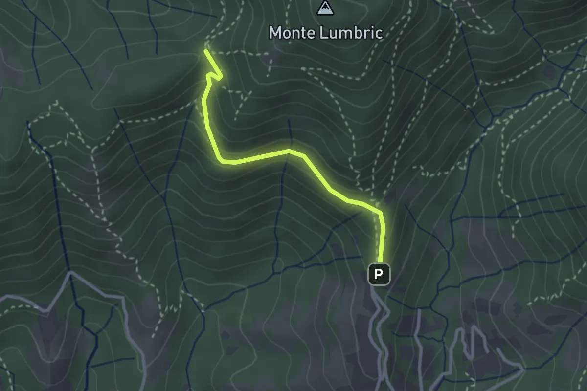
Easy · Trail
Pisgiu (Sorisole) – Forcella di Rua (Sorisole)
2.4 km · ↑ 157 m · 54 min · 10 km away
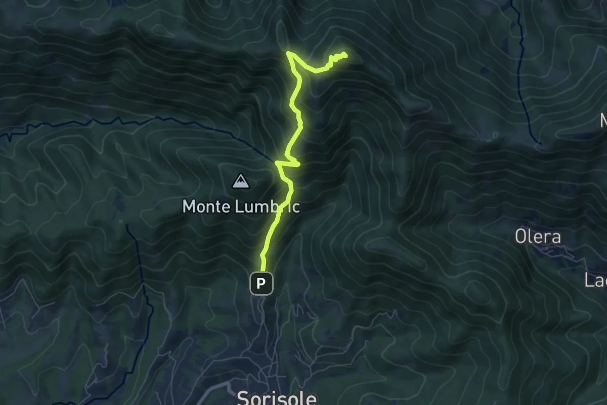
Demanding · Summit
Pisgiu – Monte Canto Alto
6.1 km · ↑ 609 m · 2 h 46 min · 10 km away
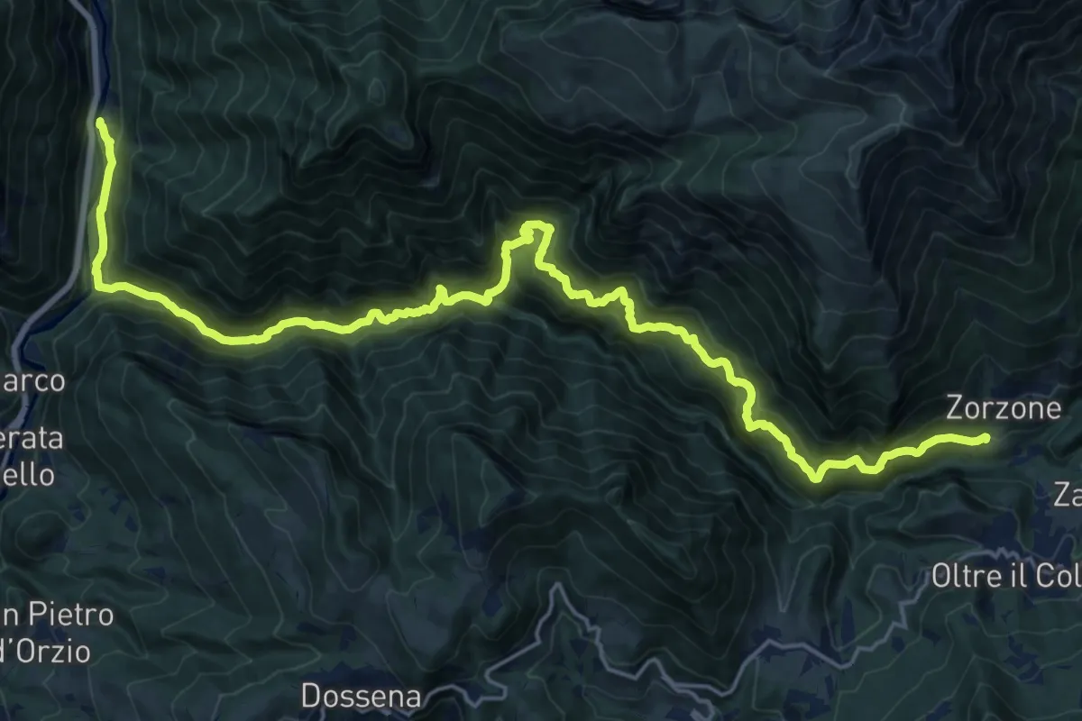
Demanding · Trail
Valparina – Scalvino (Lenna)
12.6 km · ↑ 1106 m · 5 h 19 min · 10 km away
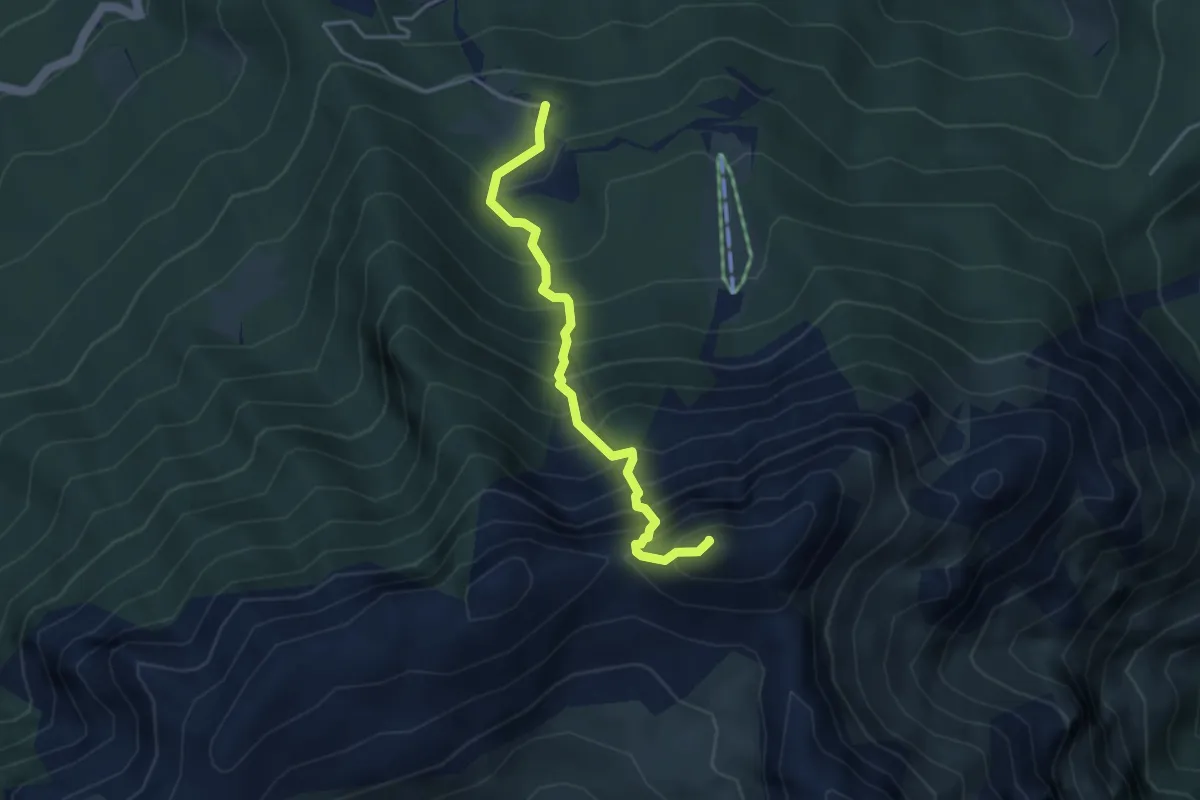
Demanding · Summit
Sentiero dell’Amicizia
3.7 km · ↑ 652 m · 2 h 17 min · 10 km away
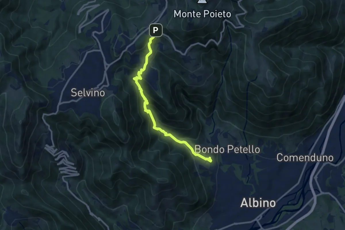
Medium · Trail
Albino – Ama (Aviatico)
8.7 km · ↑ 645 m · 3 h 27 min · 10 km away