Trails near San Pellegrino Terme
314 hikes starting within 15 km, nearest first.
Nearest first, page 4 of 7
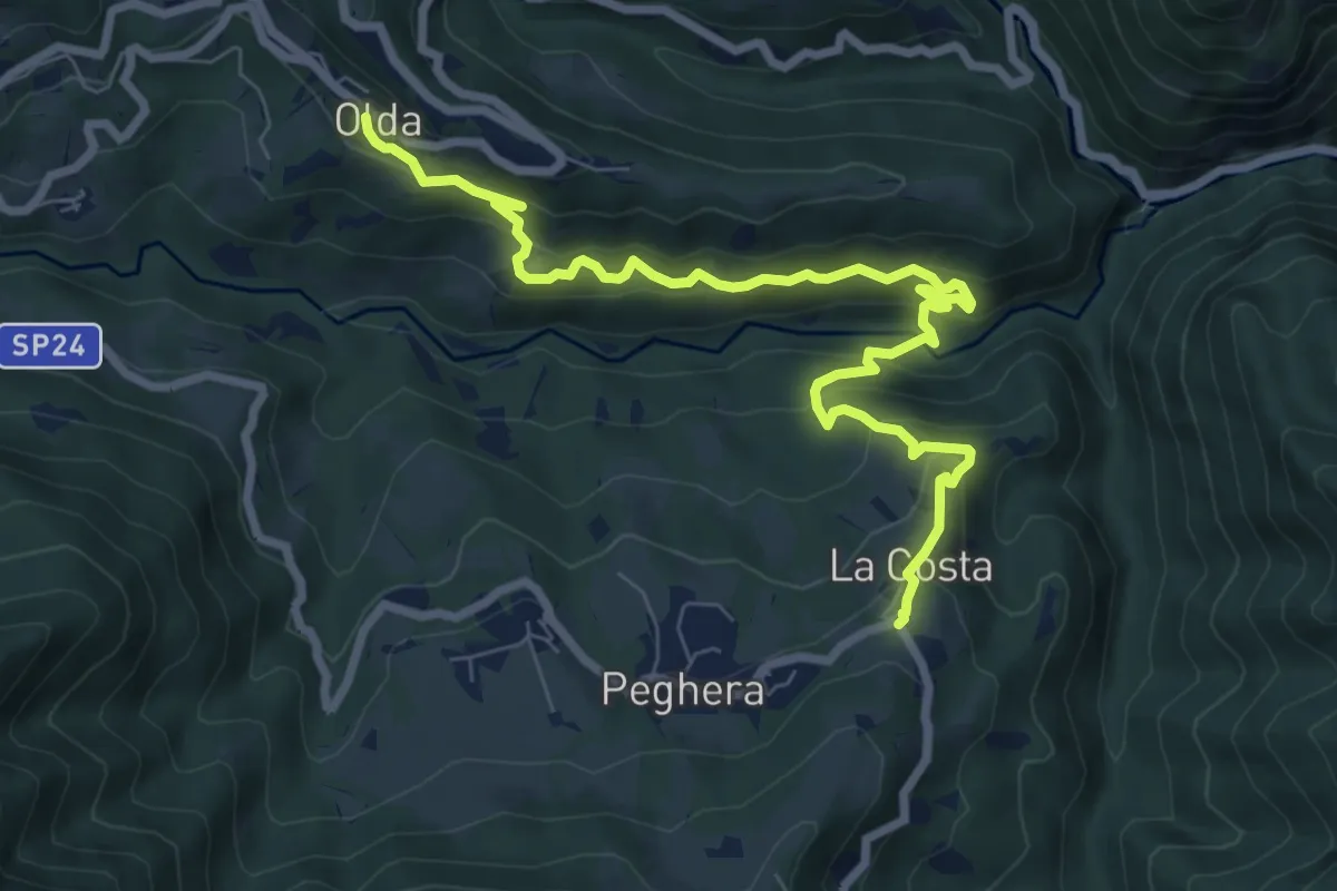
Medium · Trail
Olda – Costa di Peghera
8.9 km · ↑ 653 m · 3 h 31 min · 10 km away
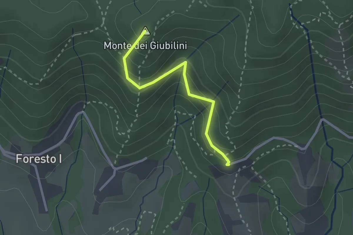
Easy · Summit
Boscalgisi – Zappel d'Erba
2.1 km · ↑ 212 m · 58 min · 10 km away
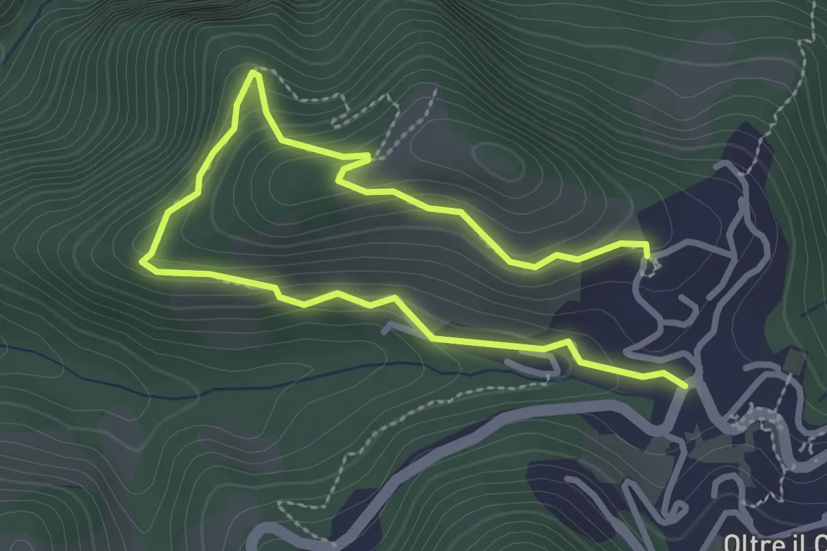
Easy · Trail
Oltre il Colle – S. Bartolomeo
4.0 km · ↑ 279 m · 1 h 33 min · 10 km away
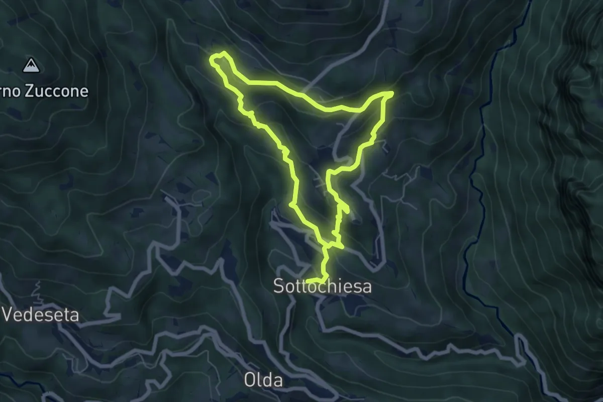
Medium · Trail
Via delle architetture rurali
10.8 km · ↑ 608 m · 3 h 52 min · 10 km away
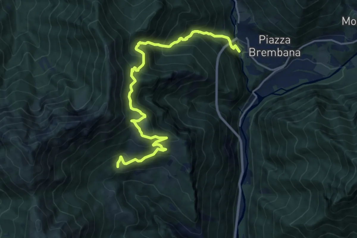
Demanding · Trail
Piazza Brembana – Cespedosio
14.7 km · ↑ 1399 m · 6 h 30 min · 10 km away
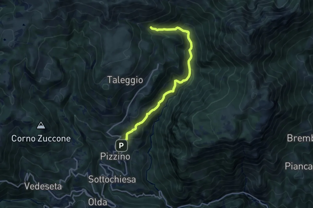
Medium · Trail
Grasso – Incrocio 153
11.3 km · ↑ 739 m · 4 h 16 min · 10 km away
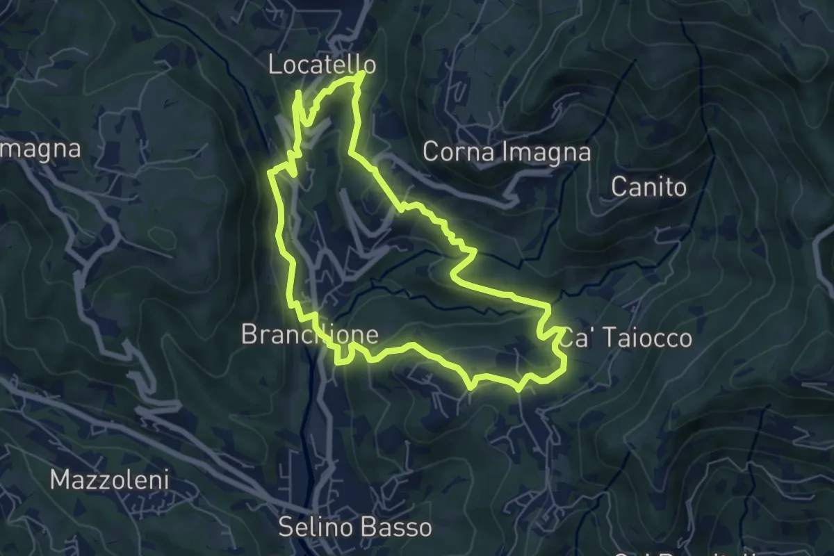
Medium · Trail
Sentiero dei Ponti
6.2 km · ↑ 229 m · 2 h 3 min · 10 km away
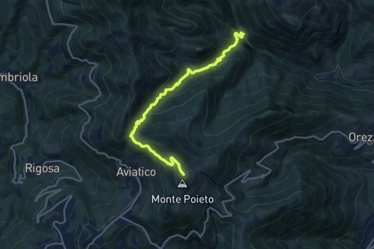
Demanding · Trail
Val Vertova – Monte Poieto
10.0 km · ↑ 782 m · 4 h 4 min · 10 km away
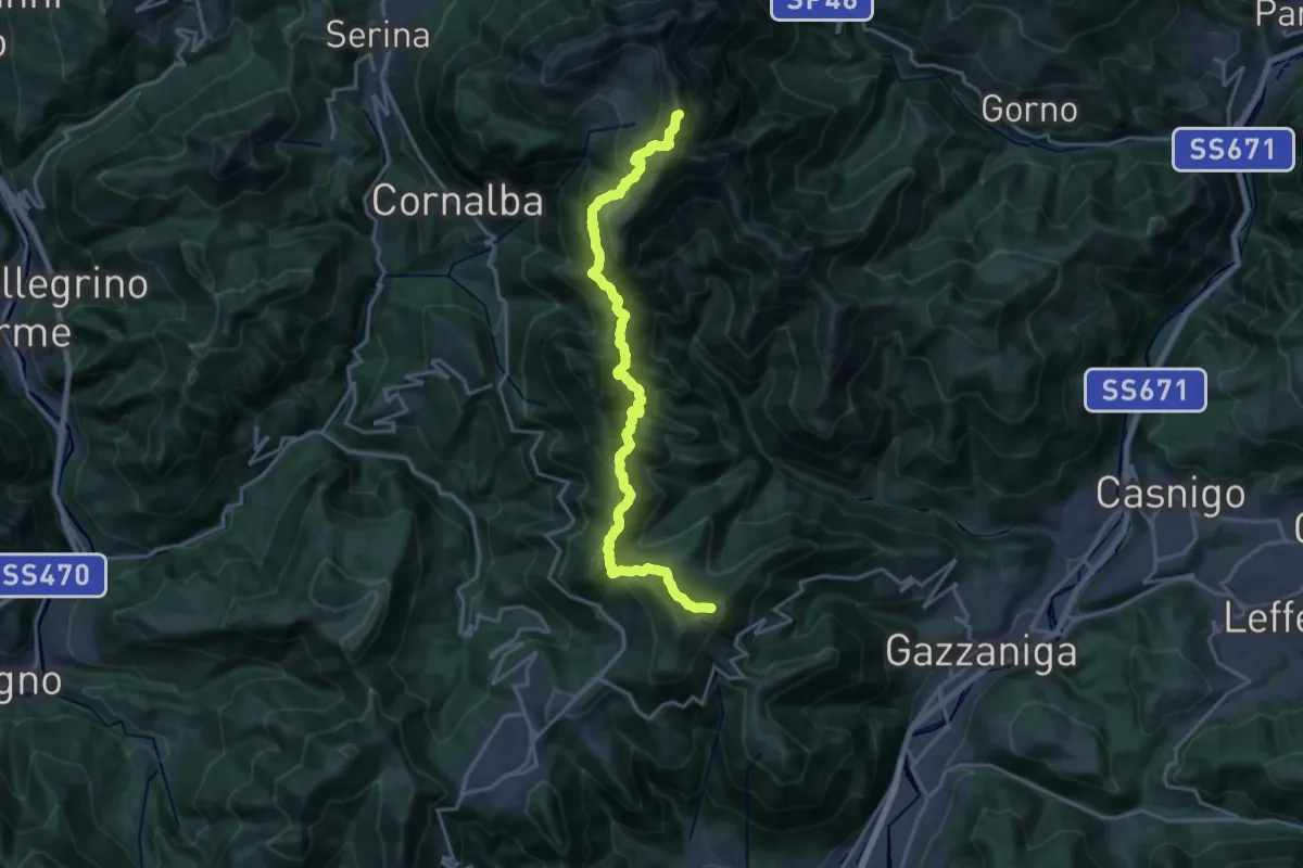
Expert · Summit
Ca' de Spi' (Gazzaniga) – Monte Alben
20.0 km · ↑ 1657 m · 8 h 19 min · 10 km away
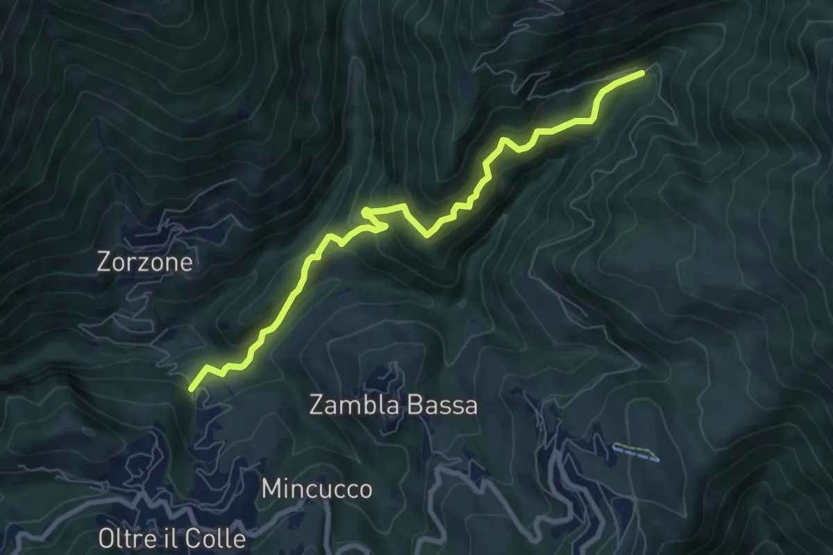
Medium · Trail
Incrocio H30 – Plassa - Arera
7.5 km · ↑ 618 m · 3 h 7 min · 10 km away
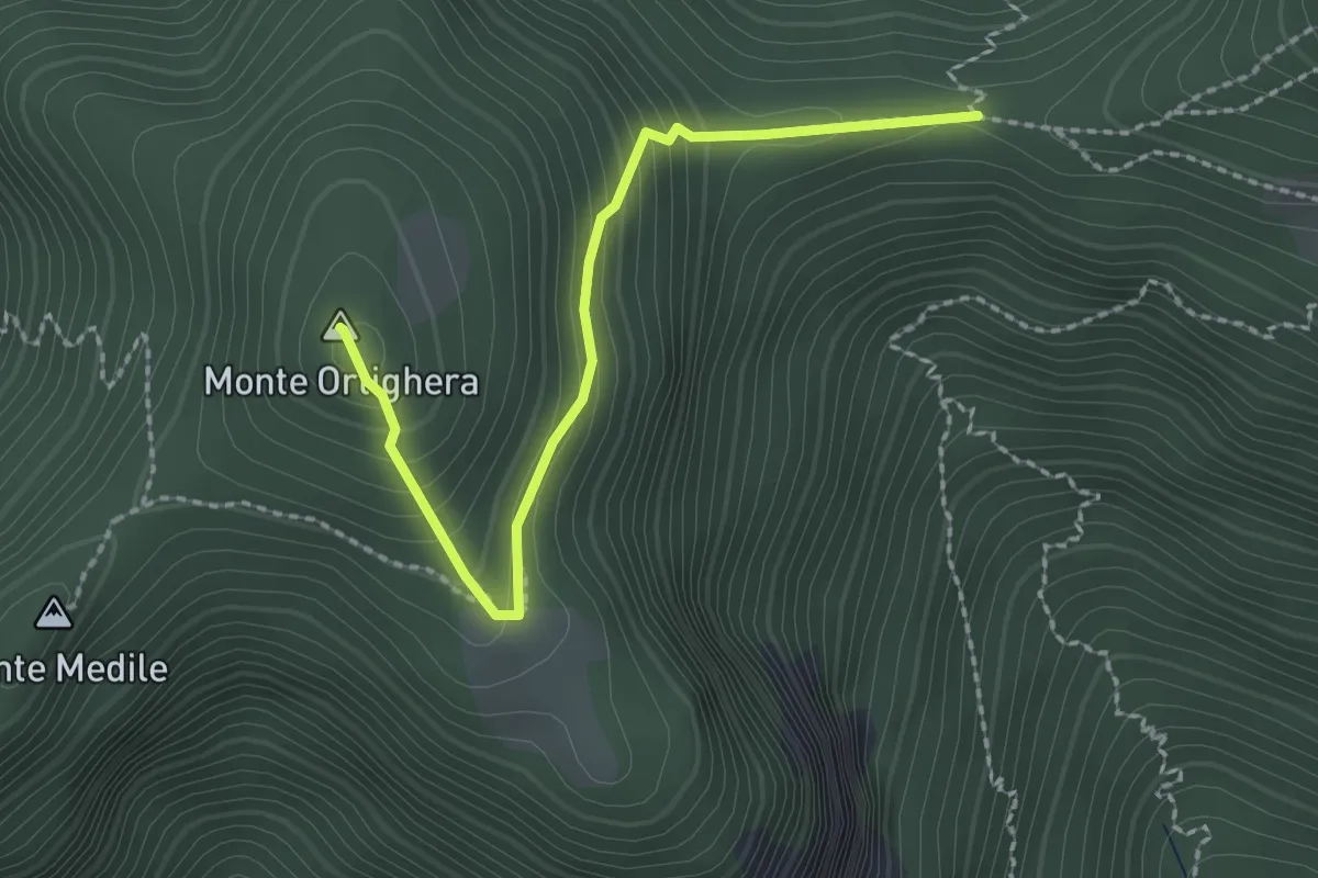
Easy · Summit
Incrocio 273 – Monte Ortighera
2.3 km · ↑ 206 m · 59 min · 10 km away
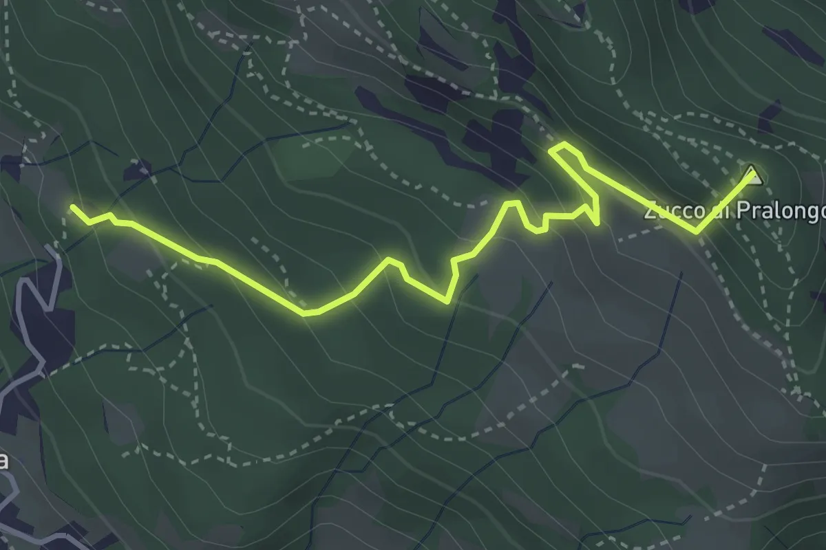
Medium · Summit
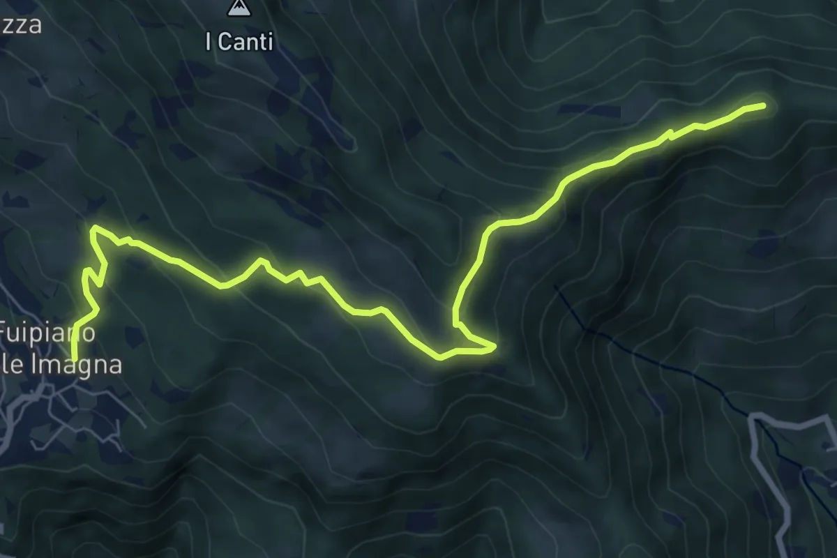
Fuipiano – Tre Faggi
3.8 km · ↑ 306 m · 1 h 34 min · 11 km away
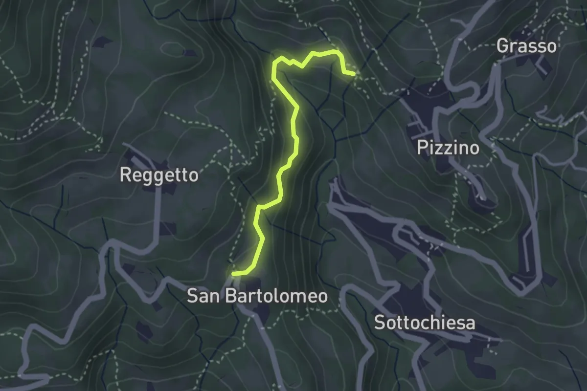
Medium · Trail
San Bartolomeo – Santuario di Salzana
2.8 km · ↑ 154 m · 59 min · 11 km away
Medium · Summit
Sentiero dei Laghi Basso - Tappa 3
8.6 km · ↑ 491 m · 3 h 6 min · 11 km away
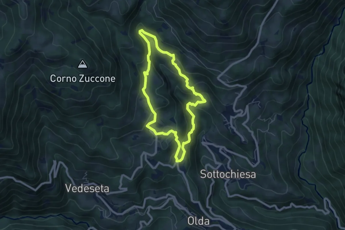
Medium · Trail
Sentiero della Cultura Casearia
5.4 km · ↑ 277 m · 1 h 57 min · 11 km away
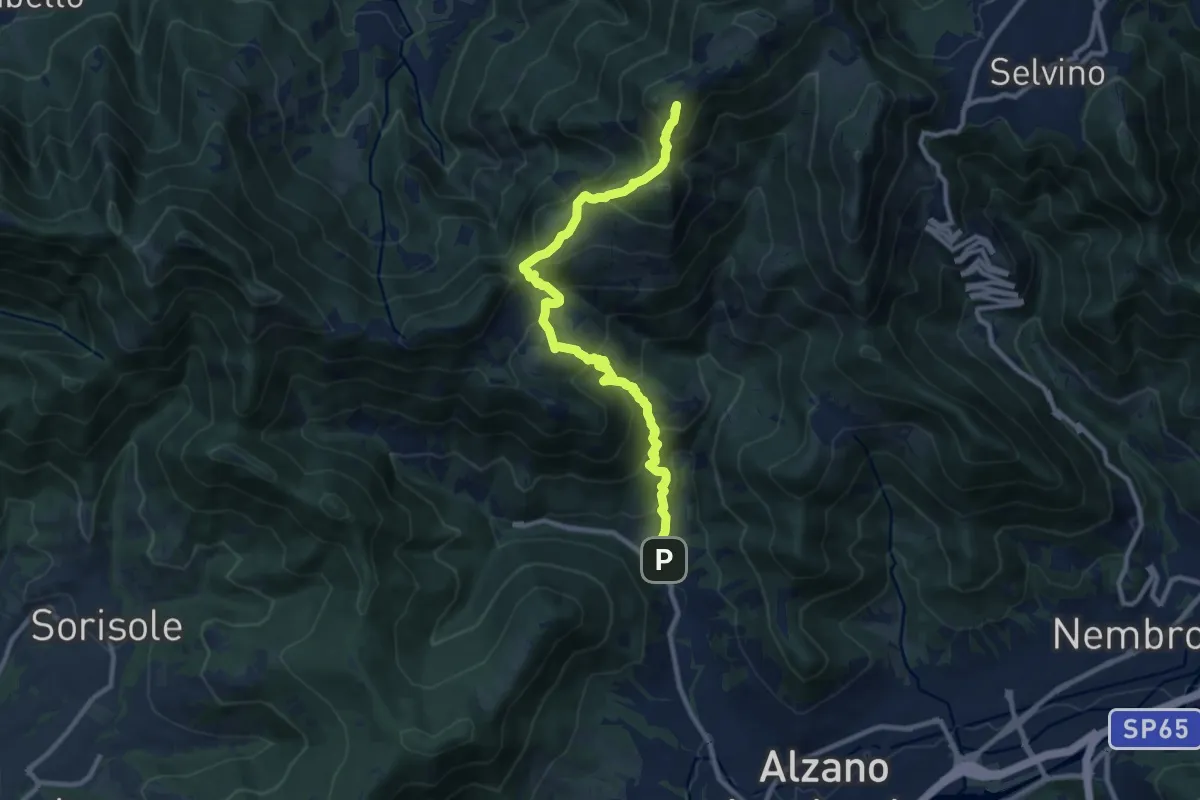
Demanding · Summit
Nese (Alzano Lombardo) – Salmezza (Selvino)
10.7 km · ↑ 906 m · 4 h 30 min · 11 km away
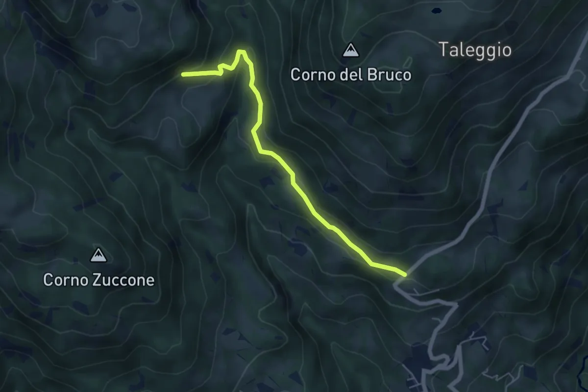
Medium · Trail
Via Arighiglio (Pizzino) – Incrocio 150
5.0 km · ↑ 203 m · 1 h 37 min · 11 km away
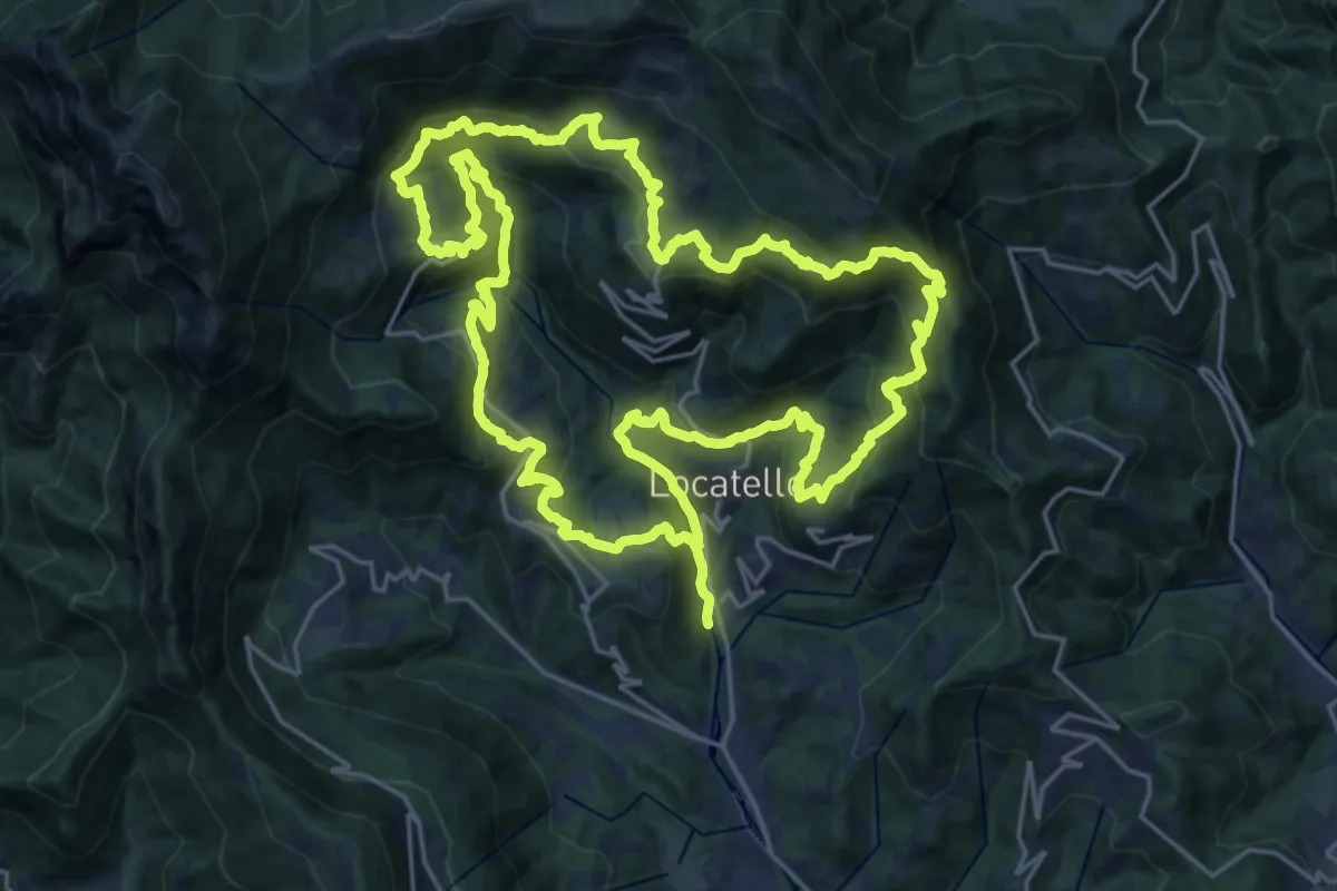
Demanding · Trail
Sentiero dei Giganti
25.1 km · ↑ 1336 m · 9 h 10 min · 11 km away
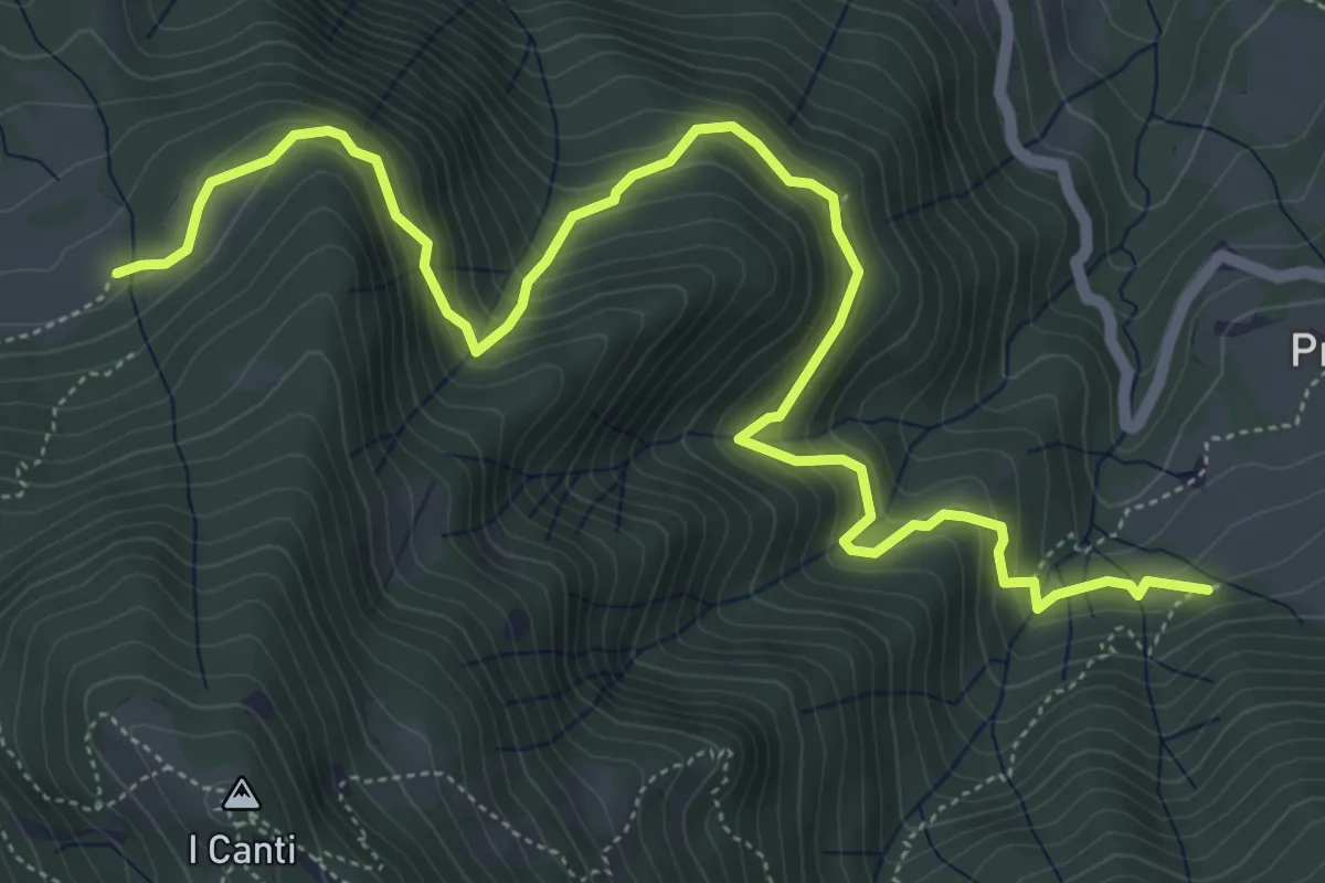
Demanding · Trail
Incrocio 569 (Peghera) – Incrocio 569B (Piazzoli)
7.2 km · ↑ 617 m · 3 h 3 min · 11 km away
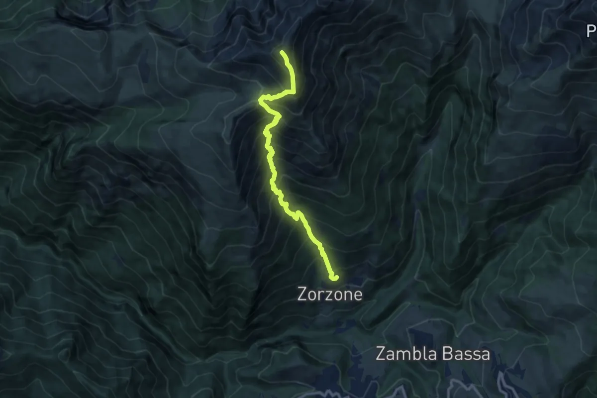
Demanding · Summit
Zorzone – Monte Menna
8.8 km · ↑ 1209 m · 4 h 42 min · 11 km away
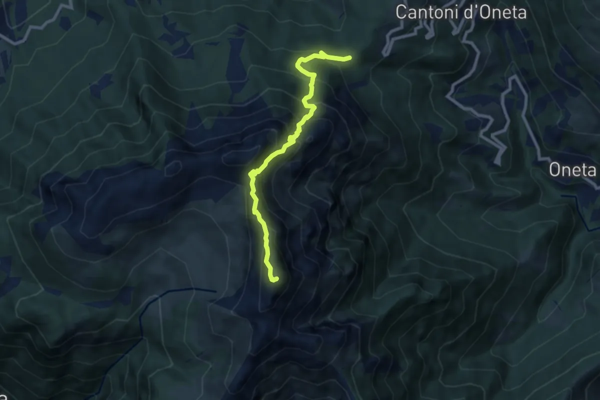
Expert · Summit
Passo della Crocetta – Monte Alben
7.1 km · ↑ 751 m · 3 h 19 min · 11 km away
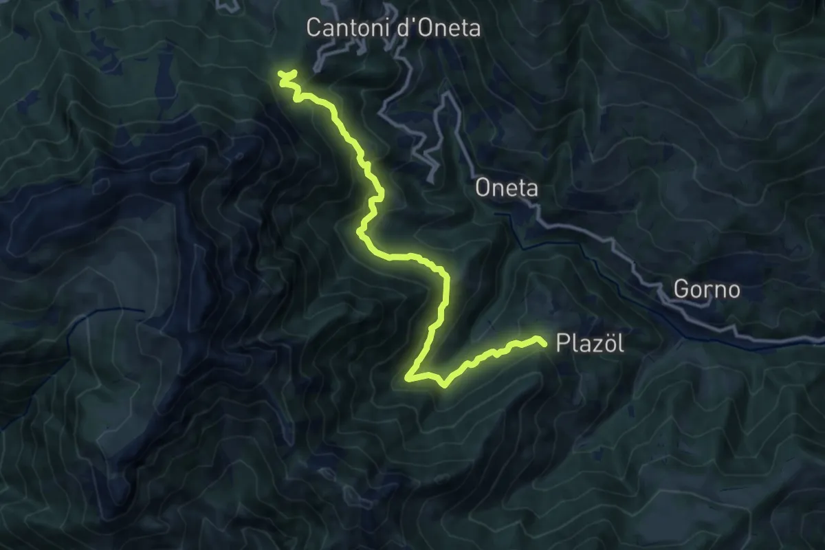
Demanding · Trail
Chignolo (Oneta) – Passo della Crocetta
12.5 km · ↑ 884 m · 4 h 52 min · 11 km away
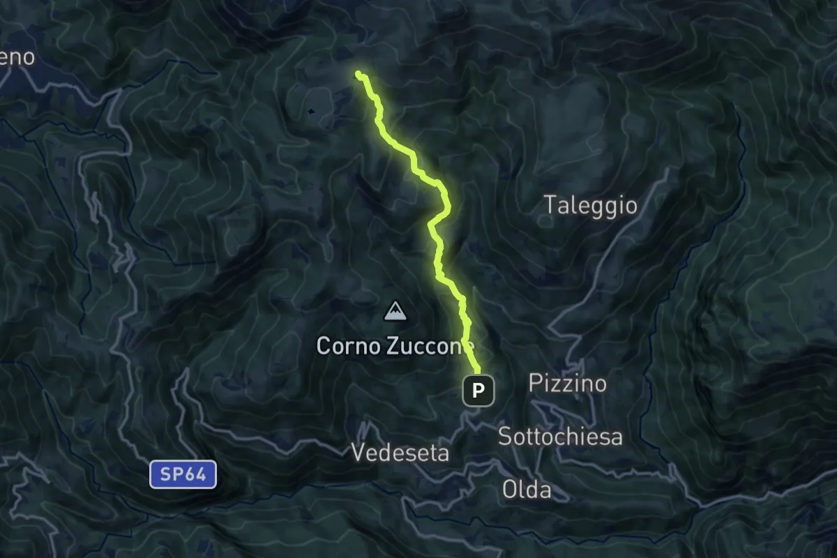
Medium · Trail
Reggetto (Vedeseta) – Piani di Artavaggio
10.4 km · ↑ 722 m · 4 h 1 min · 11 km away
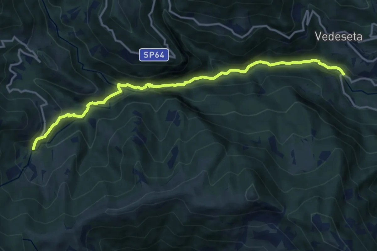
Medium · Trail
Ponte Lavina – Morterone
11.0 km · ↑ 607 m · 3 h 55 min · 11 km away
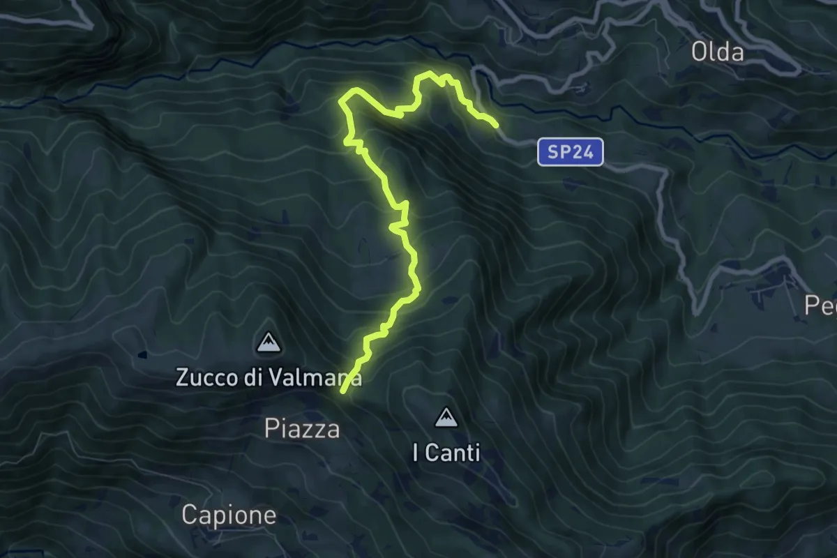
Medium · Trail
Ponte Lavina – Bocca del Grassello
8.2 km · ↑ 738 m · 3 h 32 min · 11 km away
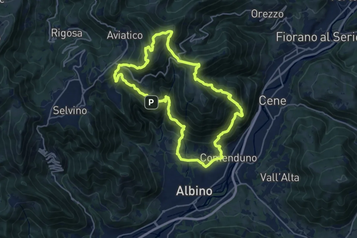
Demanding · Summit
Sentiero 4
15.2 km · ↑ 1092 m · 6 h 9 min · 11 km away
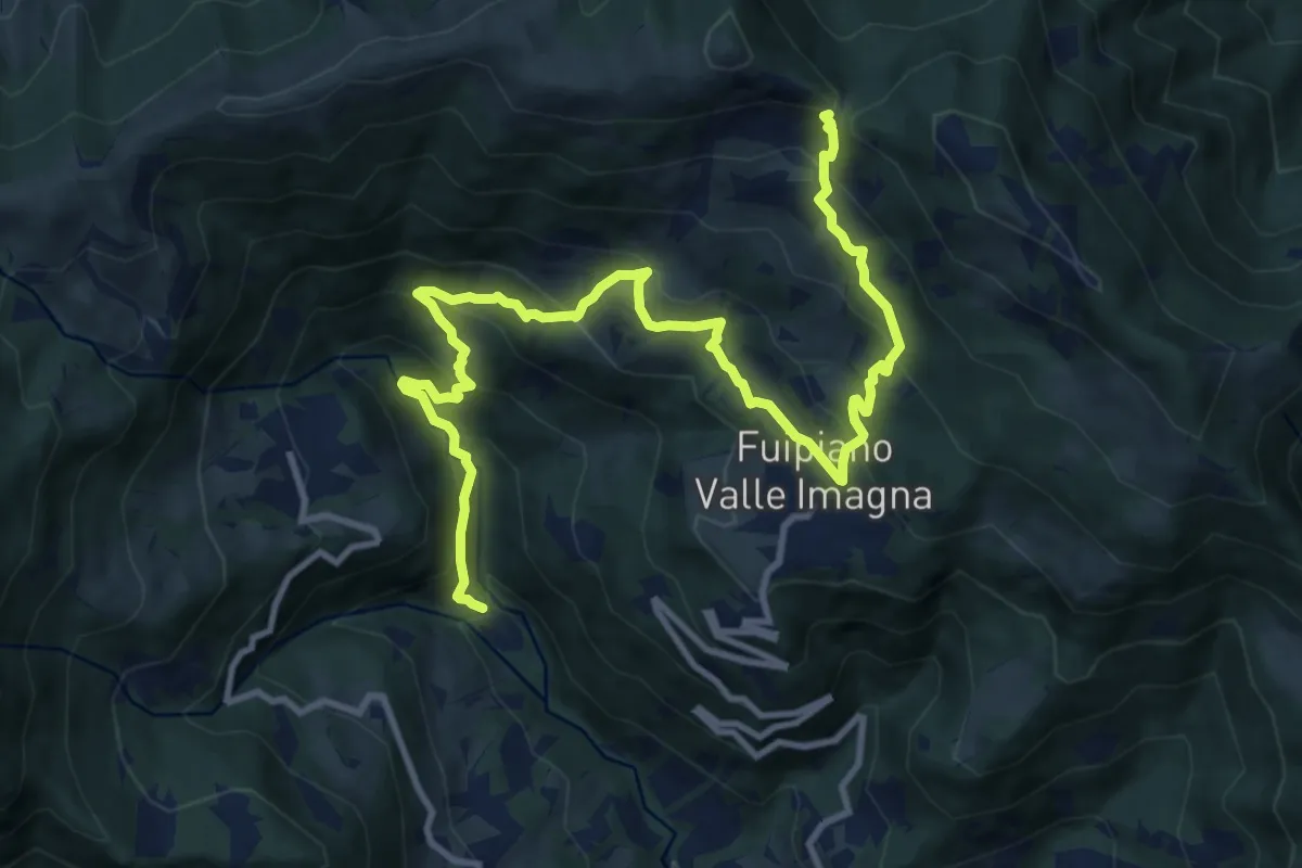
Demanding · Trail
Chignolo – Bocca del Grassello
13.5 km · ↑ 994 m · 5 h 21 min · 11 km away
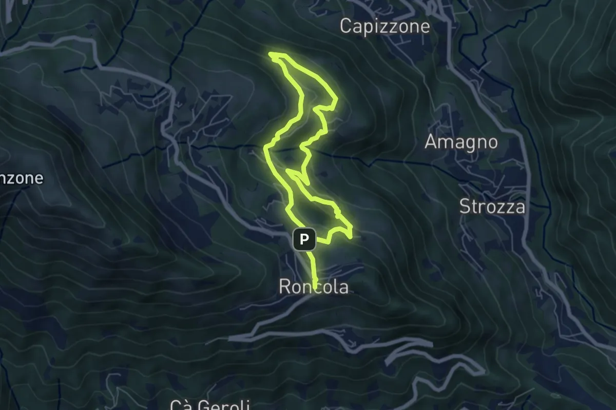
Medium · Trail
Sentiero dei Borghi
9.6 km · ↑ 453 m · 3 h 15 min · 11 km away
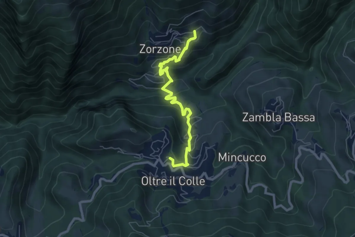
Medium · Trail
Oltre il Colle – Zorzone
5.9 km · ↑ 428 m · 2 h 19 min · 11 km away
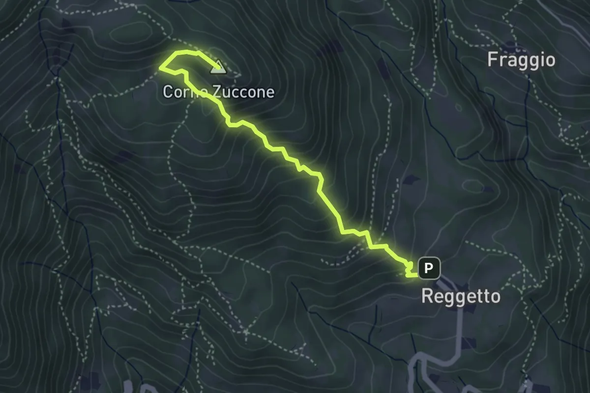
Demanding · Summit
Reggetto – Corno Zuccone (incrocio 151)
4.1 km · ↑ 405 m · 1 h 51 min · 11 km away
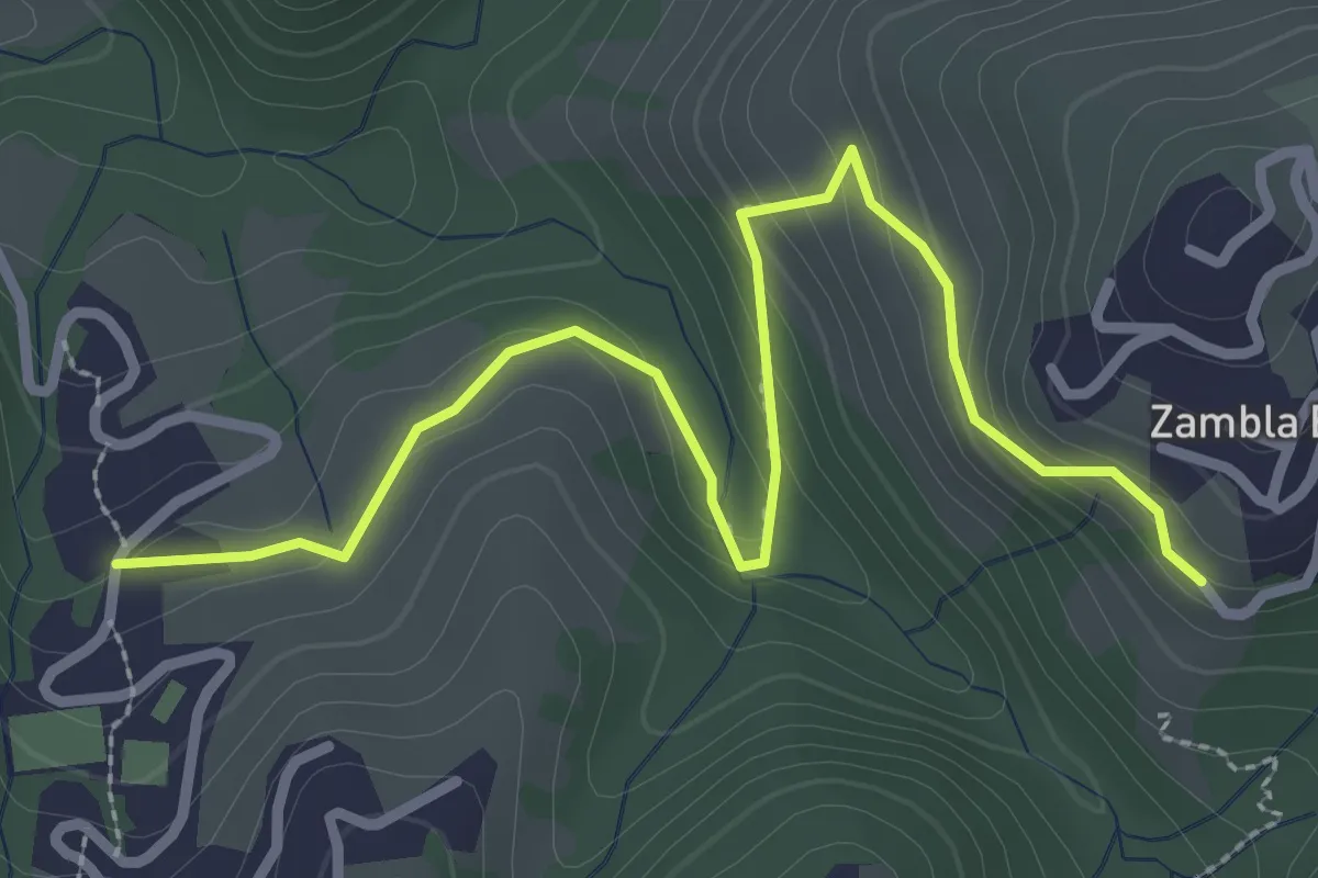
Medium · Trail
Oltre il Colle (incrocio H30) – Zambla Bassa (incrocio H24)
3.3 km · ↑ 154 m · 1 h 7 min · 11 km away
Demanding · Trail
Gaernài (Val Vertova) – Passo di Bliben
7.3 km · ↑ 856 m · 3 h 35 min · 11 km away
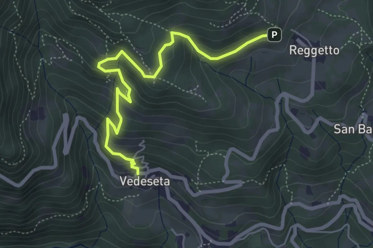
Medium · Trail
Vedeseta – Reggetto
5.4 km · ↑ 387 m · 2 h 7 min · 11 km away
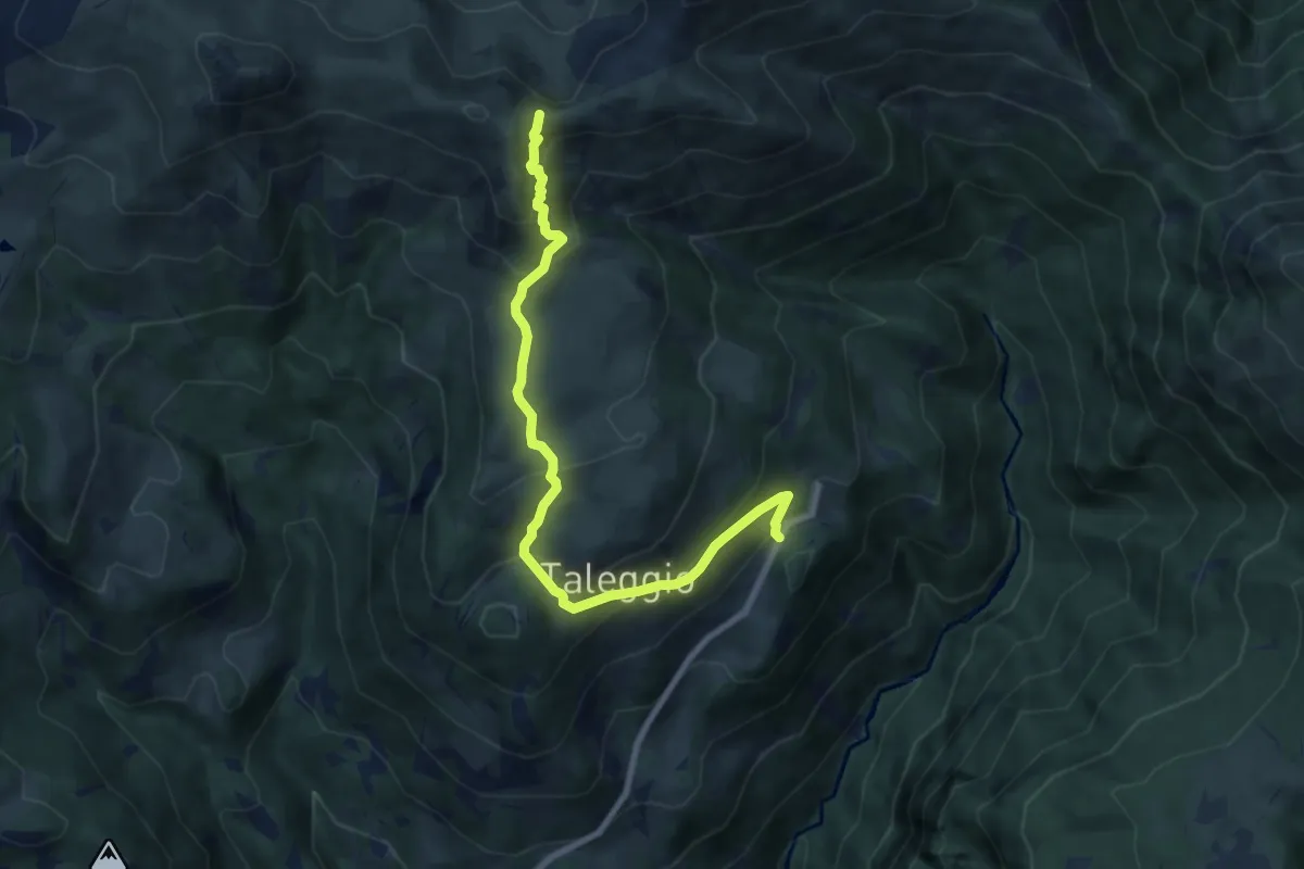
Medium · Trail
Quindicina – Bocchetta Regadur
8.6 km · ↑ 579 m · 3 h 16 min · 11 km away
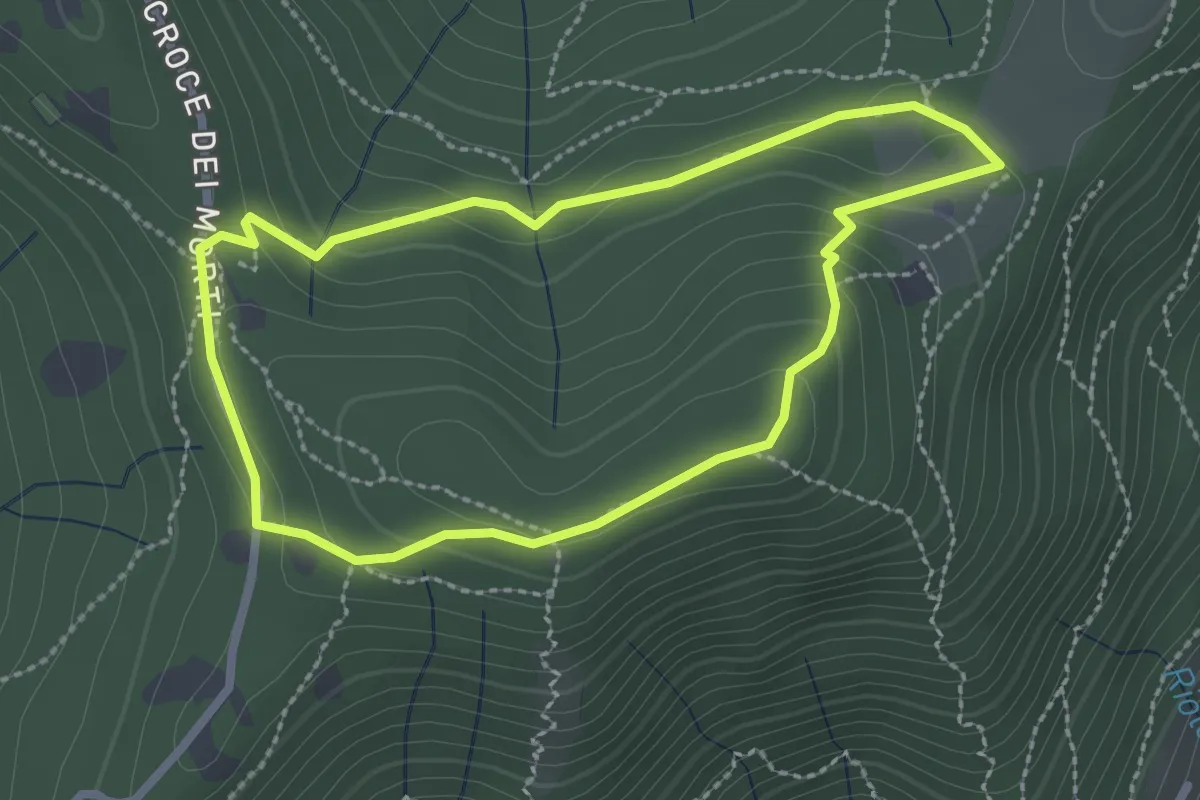
Medium · Summit
Giro del Colle di Ranica
2.4 km · ↑ 91 m · 47 min · 11 km away
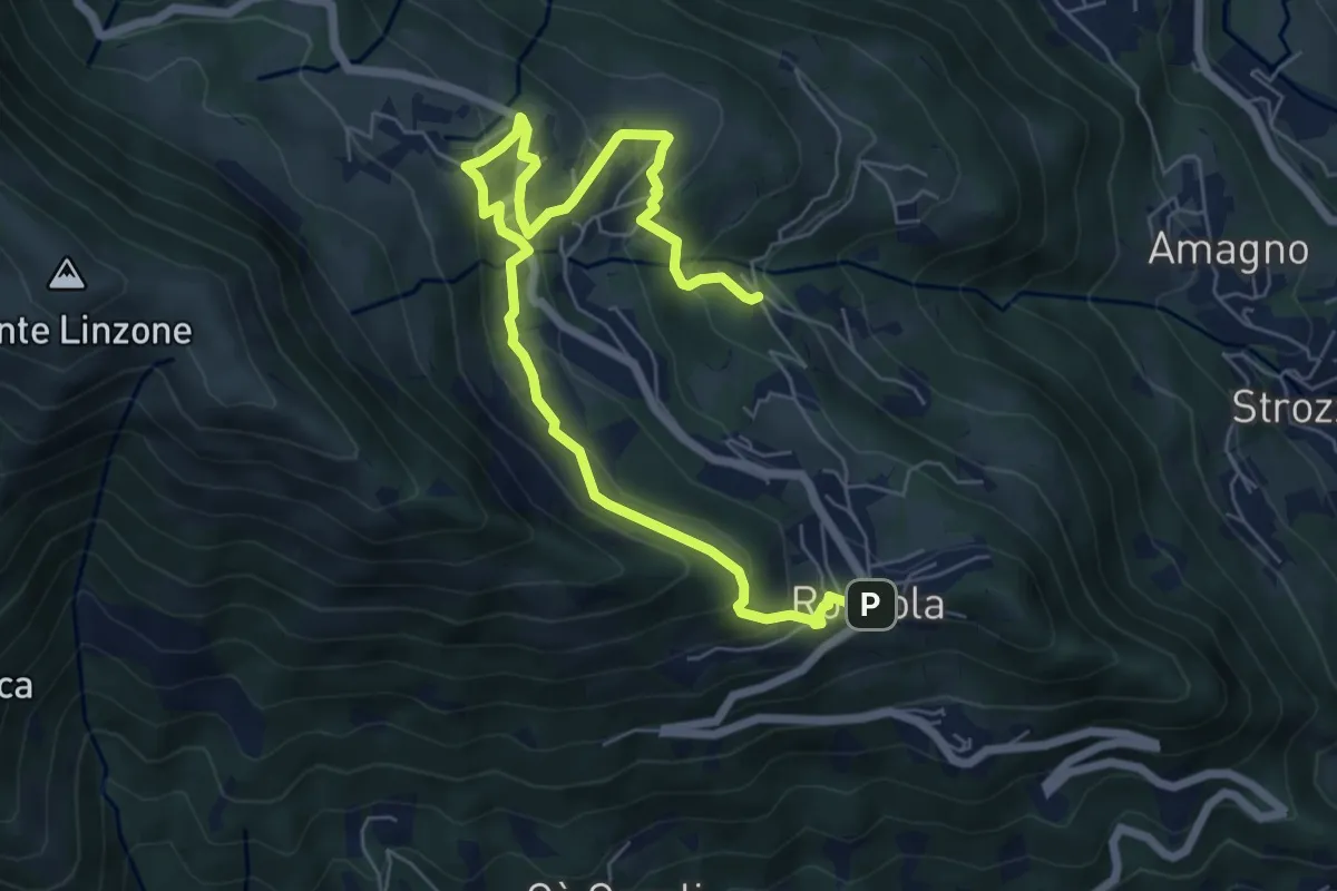
Medium · Trail
Sentiero dell'Acqua
8.4 km · ↑ 438 m · 2 h 56 min · 11 km away
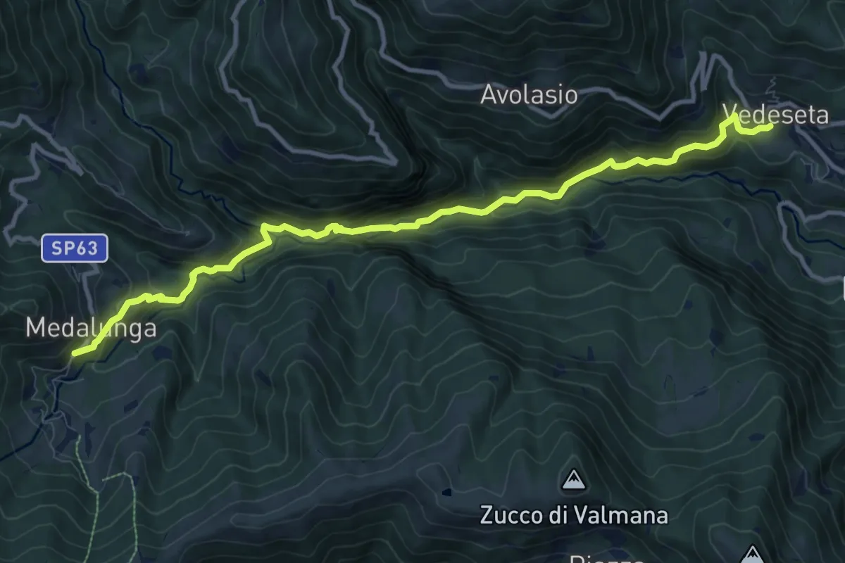
Medium · Trail
Morterone – Vedeseta
10.8 km · ↑ 671 m · 4 h 1 min · 11 km away
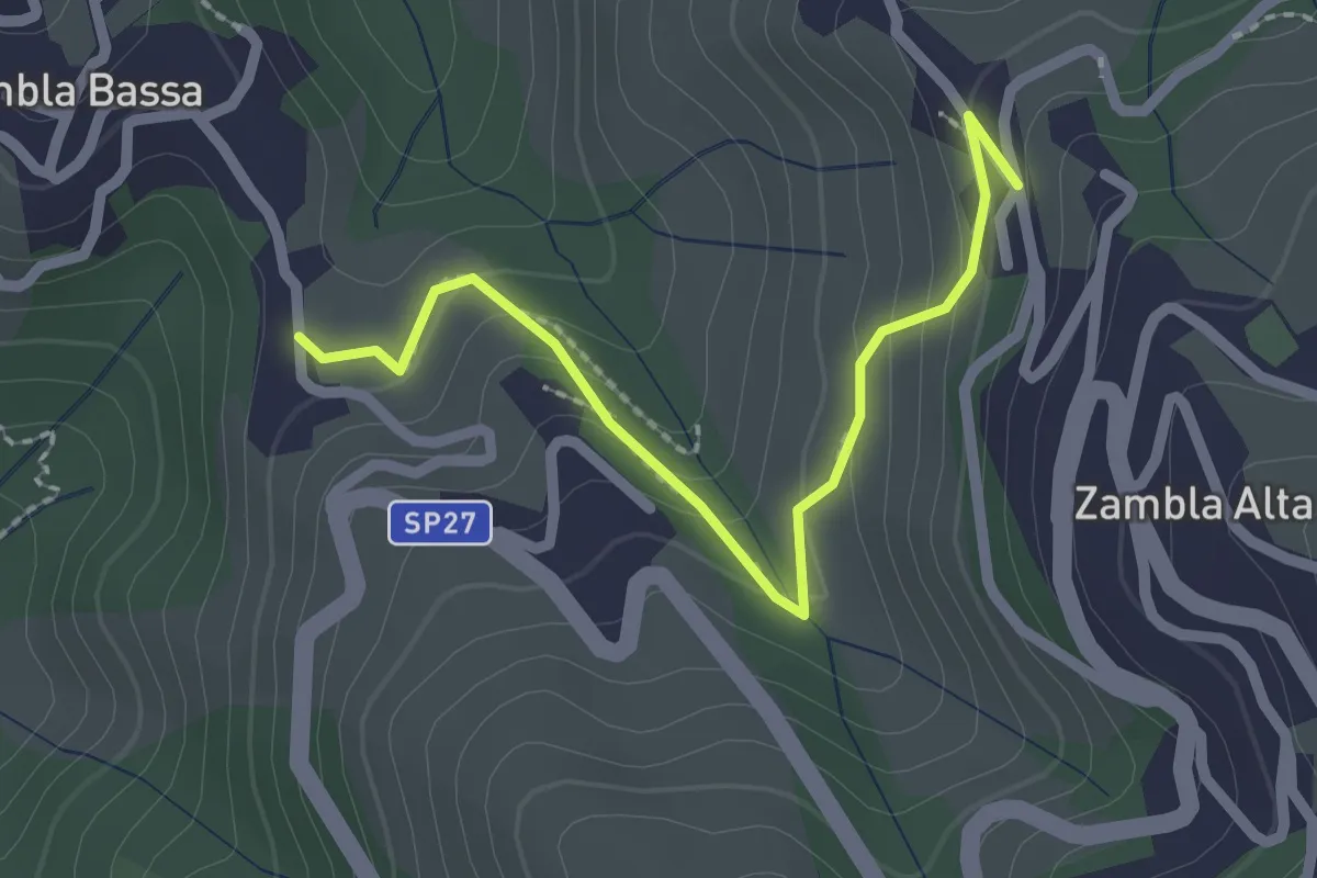
Easy · Trail
Zambla Bassa – Zambla Alta
2.3 km · ↑ 132 m · 49 min · 11 km away
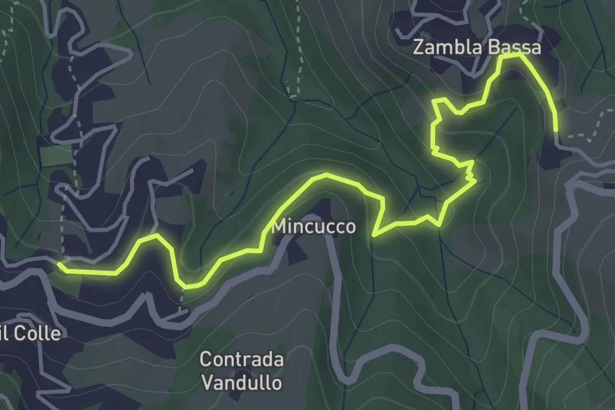
Medium · Trail
Oltre il Colle – Zambla Bassa
4.6 km · ↑ 236 m · 1 h 36 min · 11 km away
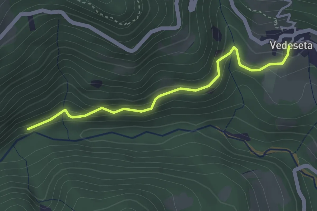
Medium · Trail
Vedeseta – Incrocio 156
3.1 km · ↑ 197 m · 1 h 9 min · 11 km away
Demanding · Trail
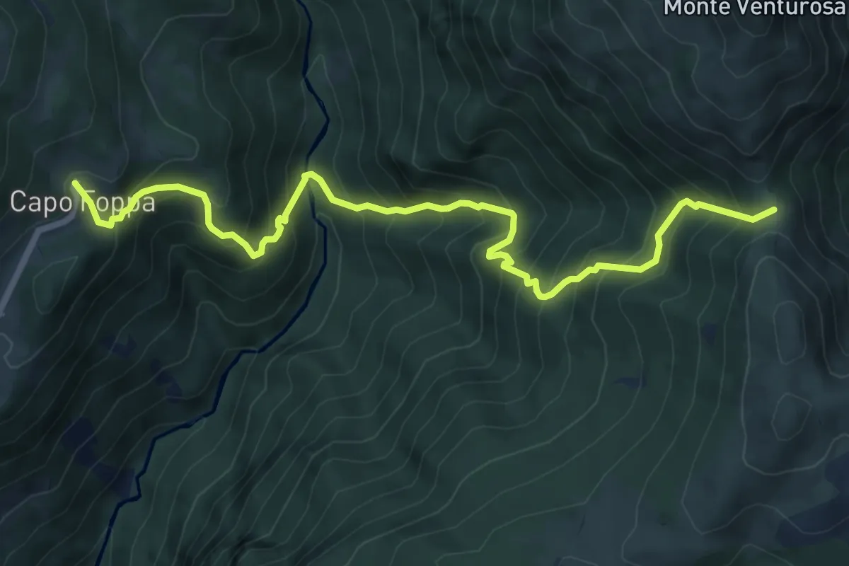
Quindicina – Passo Grialeggio
8.0 km · ↑ 965 m · 3 h 59 min · 11 km away
Medium · Trail
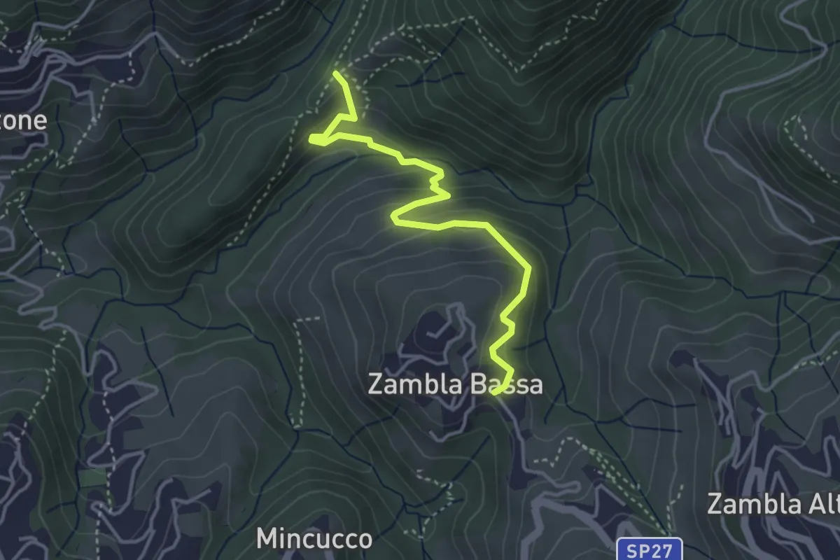
Cappella Forcella – Zambla Bassa
3.7 km · ↑ 227 m · 1 h 22 min · 11 km away
Medium · Trail
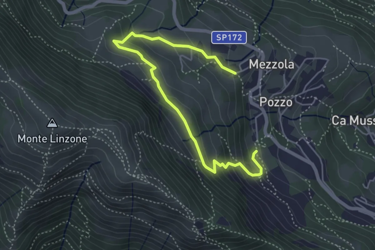
Sentiero dei Pascoli
5.2 km · ↑ 310 m · 1 h 54 min · 11 km away
Easy · Trail
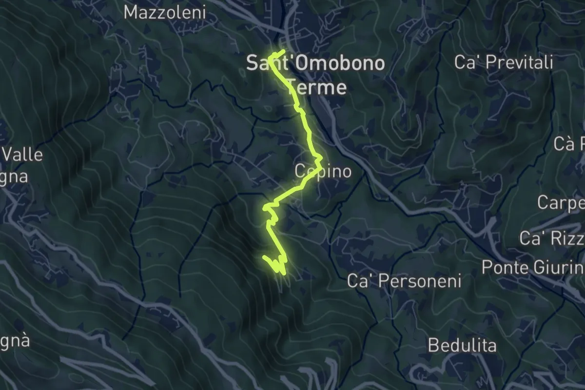
Selino Basso – Santuario della Cornabusa
6.0 km · ↑ 293 m · 2 h 3 min · 11 km away
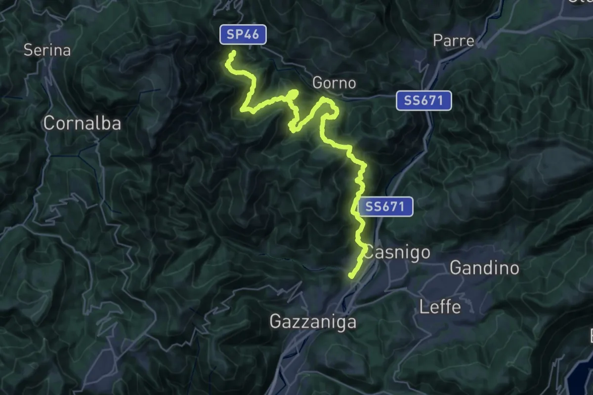
Demanding · Trail
Alta Via delle Grazie - Tappa 3
16.7 km · ↑ 807 m · 6 h 12 min · 11 km away
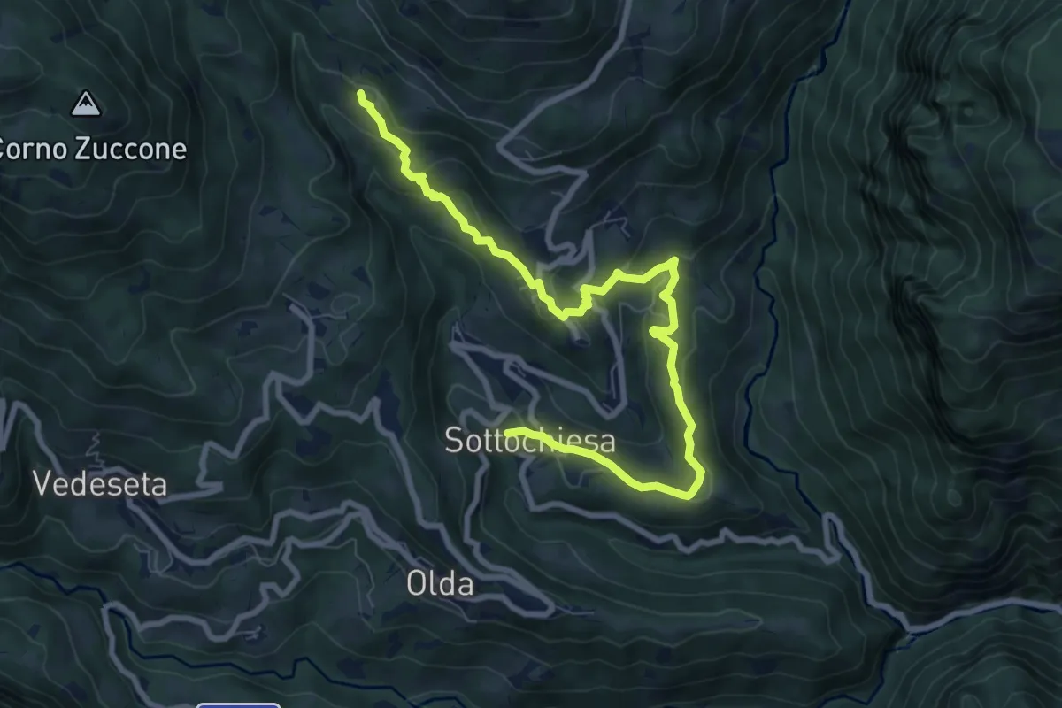
Medium · Trail
Via del paesaggio sacro e della storia
9.1 km · ↑ 403 m · 3 h 2 min · 11 km away
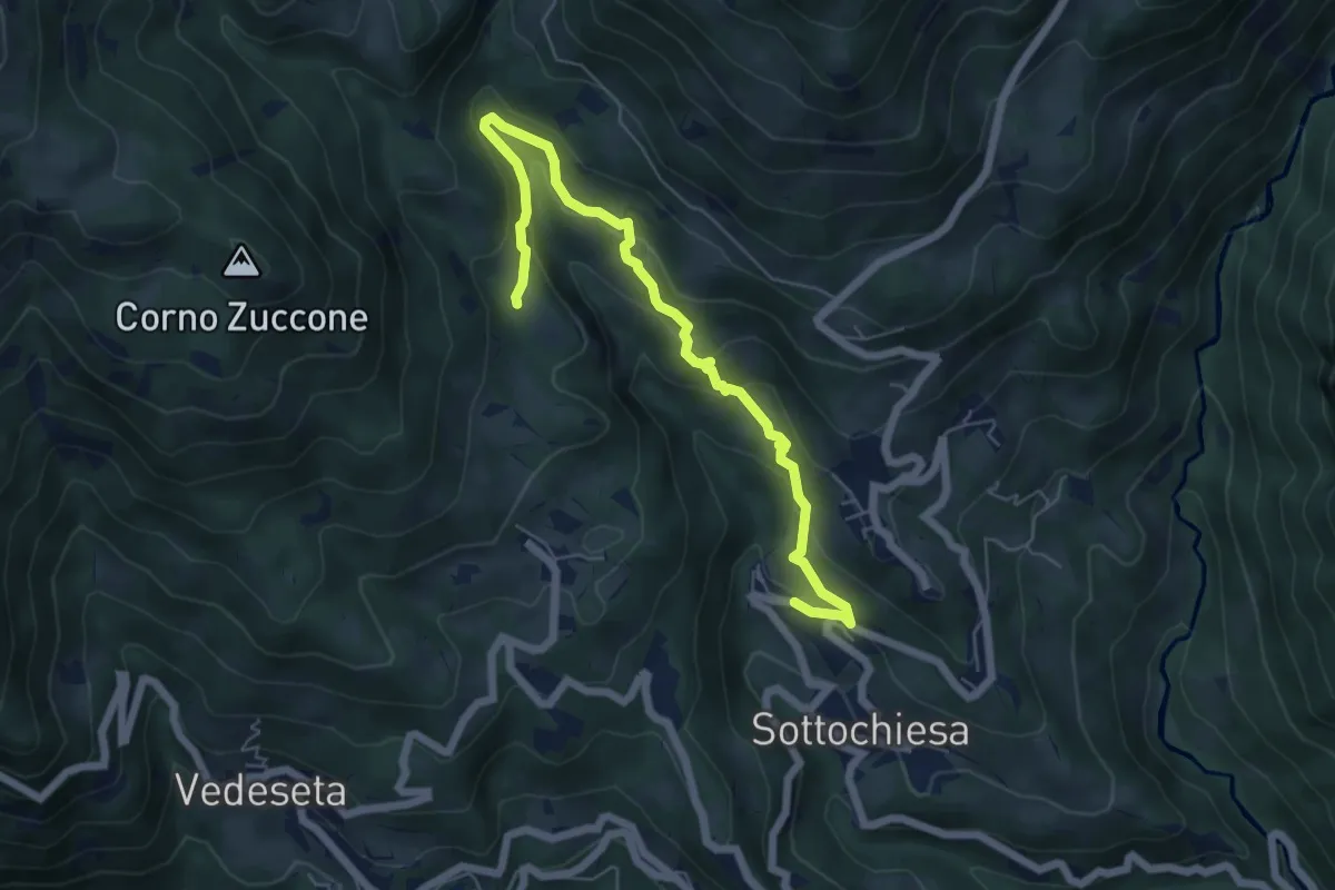
Medium · Trail
Sottochiesa – Fraggio
6.7 km · ↑ 312 m · 2 h 15 min · 12 km away
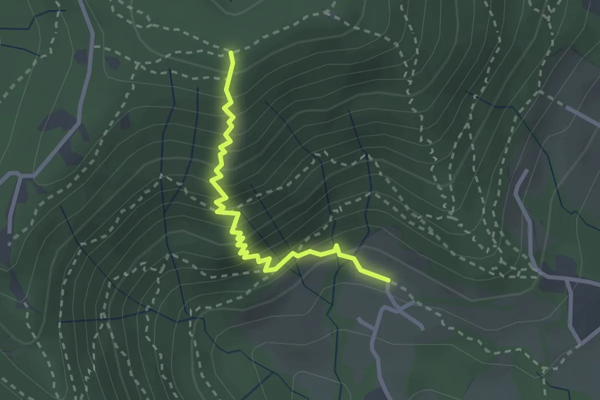
Medium · Trail
Fenile (Torre Boldone) – Croce del Boscone (Torre Boldone)
2.4 km · ↑ 321 m · 1 h 15 min · 12 km away