Trails near San Pellegrino Terme
314 hikes starting within 15 km, nearest first.
Nearest first, page 5 of 7
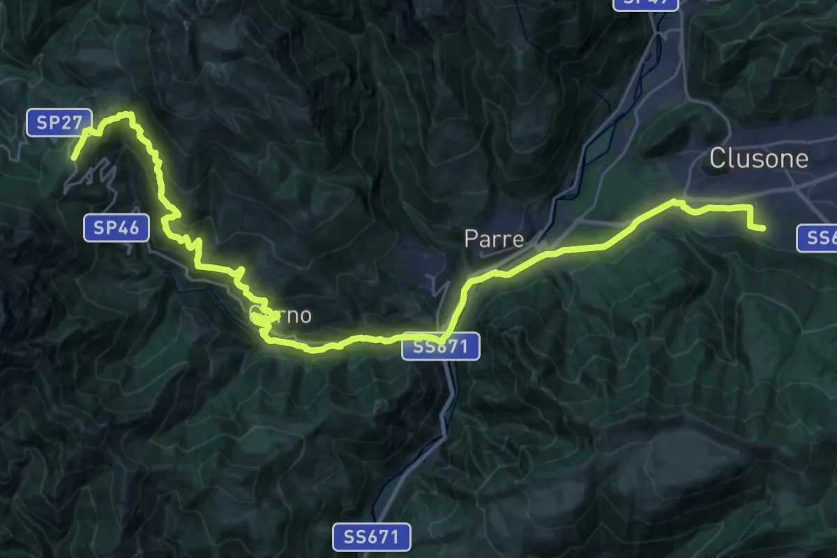
Demanding · Trail
Sentiero dei Laghi Basso - Tappa 8
19.0 km · ↑ 418 m · 6 h · 12 km away
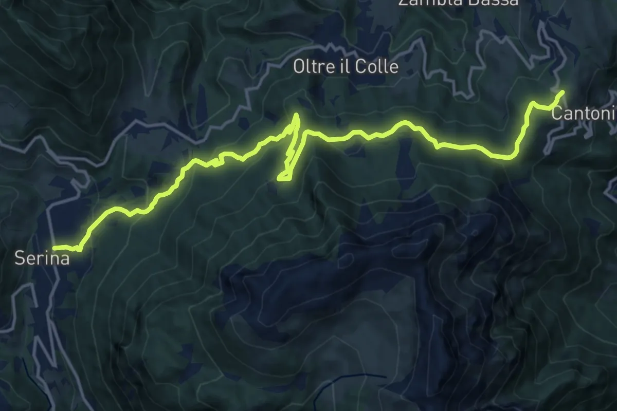
Medium · Trail
Sentiero dei Laghi Basso - Tappa 7
16.7 km · ↑ 750 m · 5 h 35 min · 12 km away
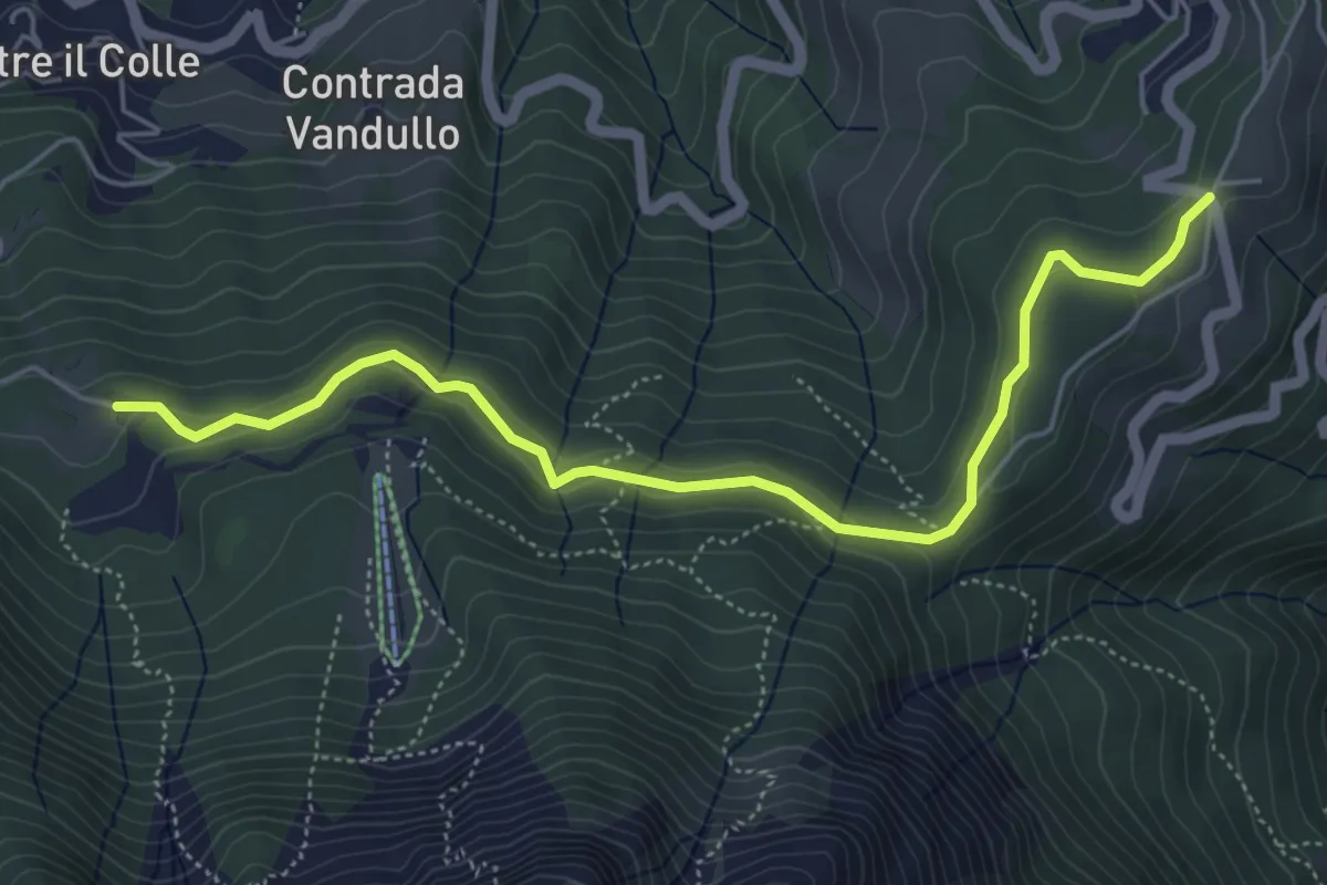
Easy · Trail
Pian della Palla – Passo di Zambla
5.7 km · ↑ 153 m · 1 h 41 min · 12 km away
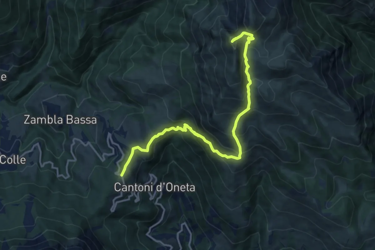
Demanding · Summit
Col di Zambla – Cima di Grem
12.0 km · ↑ 972 m · 4 h 56 min · 12 km away
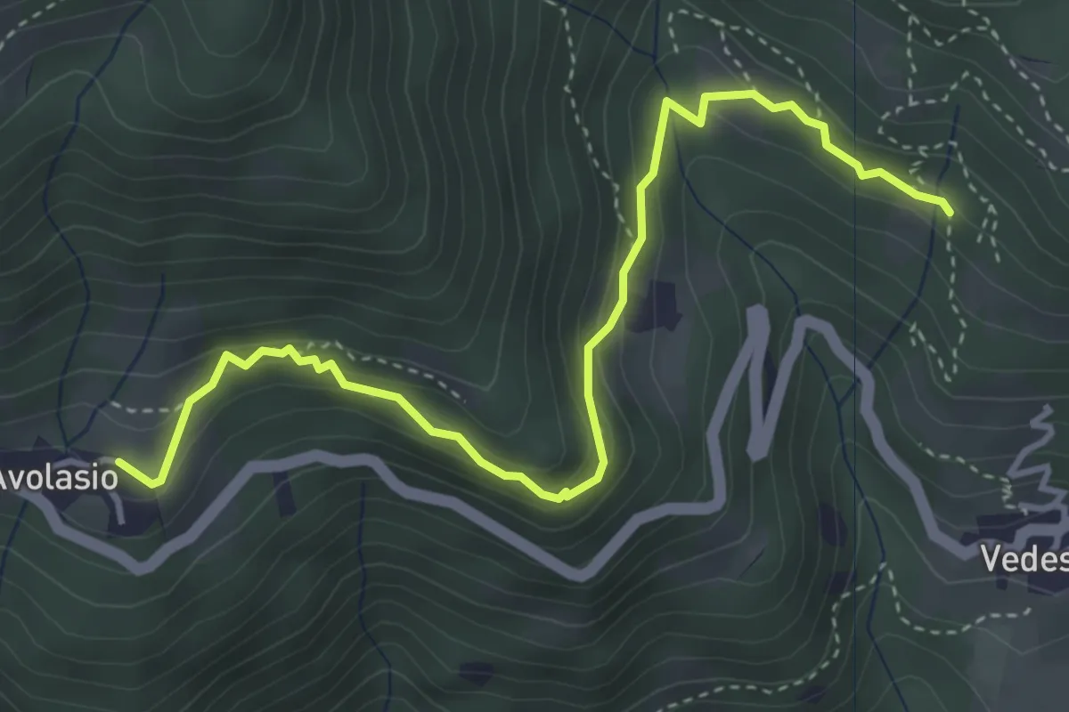
Medium · Trail
Avolasio – Salguggia (incrocio 152A)
4.4 km · ↑ 241 m · 1 h 33 min · 12 km away
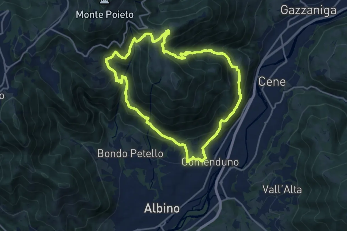
Demanding · Trail
Sentiero 3
10.6 km · ↑ 804 m · 4 h 23 min · 12 km away
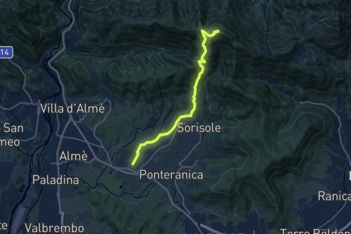
Demanding · Summit
Attacco al Canto Alto
12.5 km · ↑ 818 m · 4 h 44 min · 12 km away
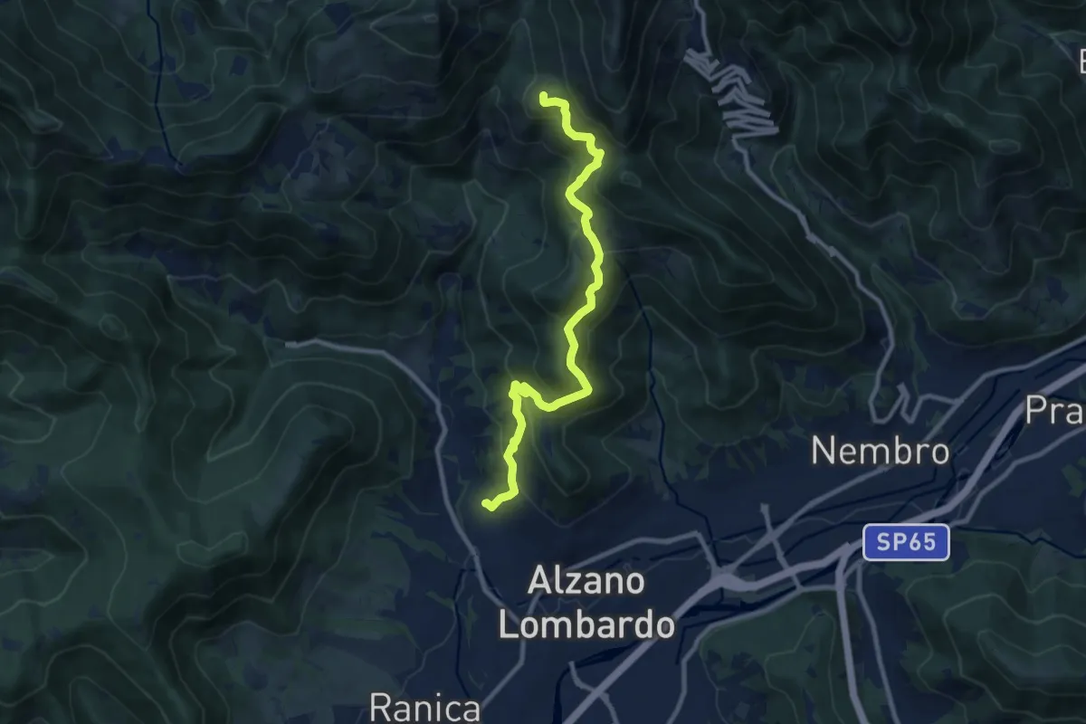
Medium · Summit
Nese (Alzano Lombardo) – Salmezza (Selvino)
9.9 km · ↑ 707 m · 3 h 52 min · 12 km away
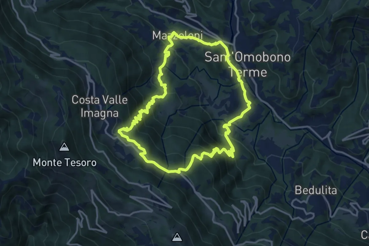
Medium · Trail
Sentiero del Dono
10.7 km · ↑ 707 m · 4 h 12 min · 12 km away
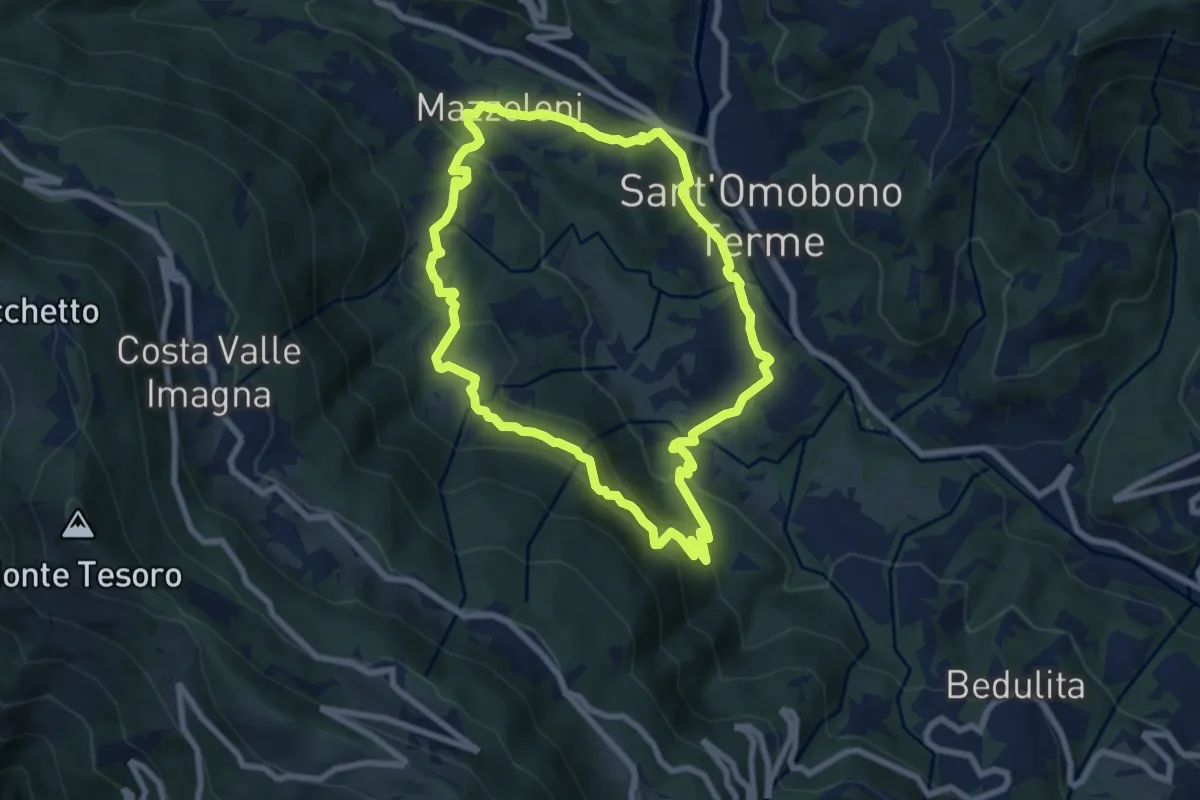
Medium · Trail
Cammino dei Petali
7.5 km · ↑ 428 m · 2 h 48 min · 12 km away
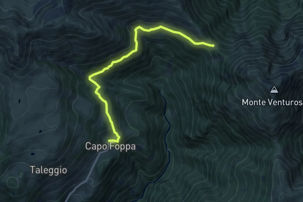
Medium · Trail
Capofoppa (Pizzino) – Passo Baciamorti
7.8 km · ↑ 425 m · 2 h 46 min · 12 km away
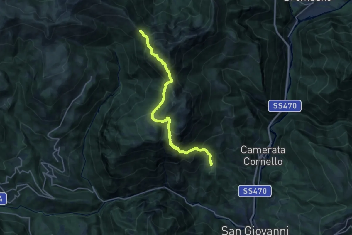
Demanding · Trail
San Giovanni Bianco (Pianca) – Passo Baciamorti
15.0 km · ↑ 1530 m · 6 h 51 min · 12 km away
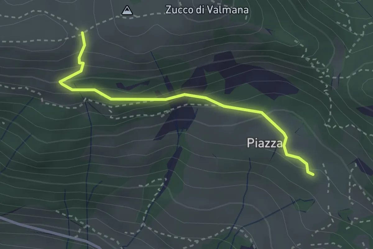
Easy · Trail
Fuipiano – Forcella di Valmana
2.6 km · ↑ 183 m · 1 h 1 min · 12 km away
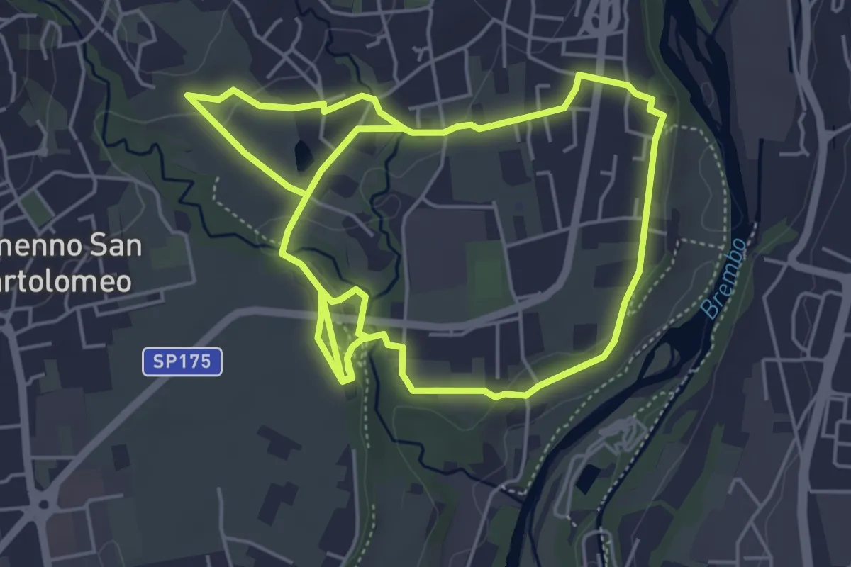
Medium · Trail
Sentiero del Romanico
10.5 km · ↑ 131 m · 2 h 45 min · 12 km away
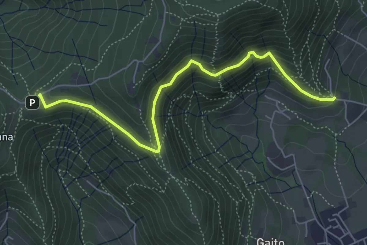
Medium · Trail
San Rocco (Ranica) – Maresana (Ponteranica)
5.4 km · ↑ 332 m · 2 h · 12 km away
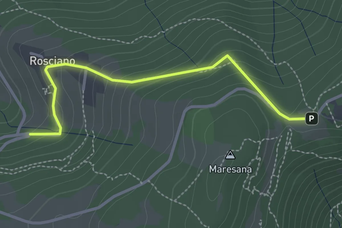
Easy · Trail
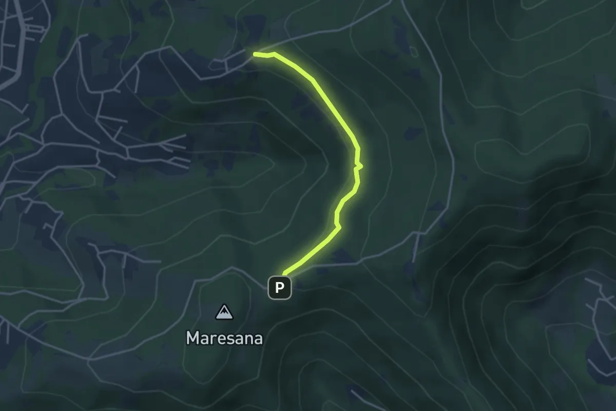
Rosciano (Ponteranica) – Maresana (Ponteranica)
2.6 km · ↑ 147 m · 55 min · 12 km away
Easy · Trail
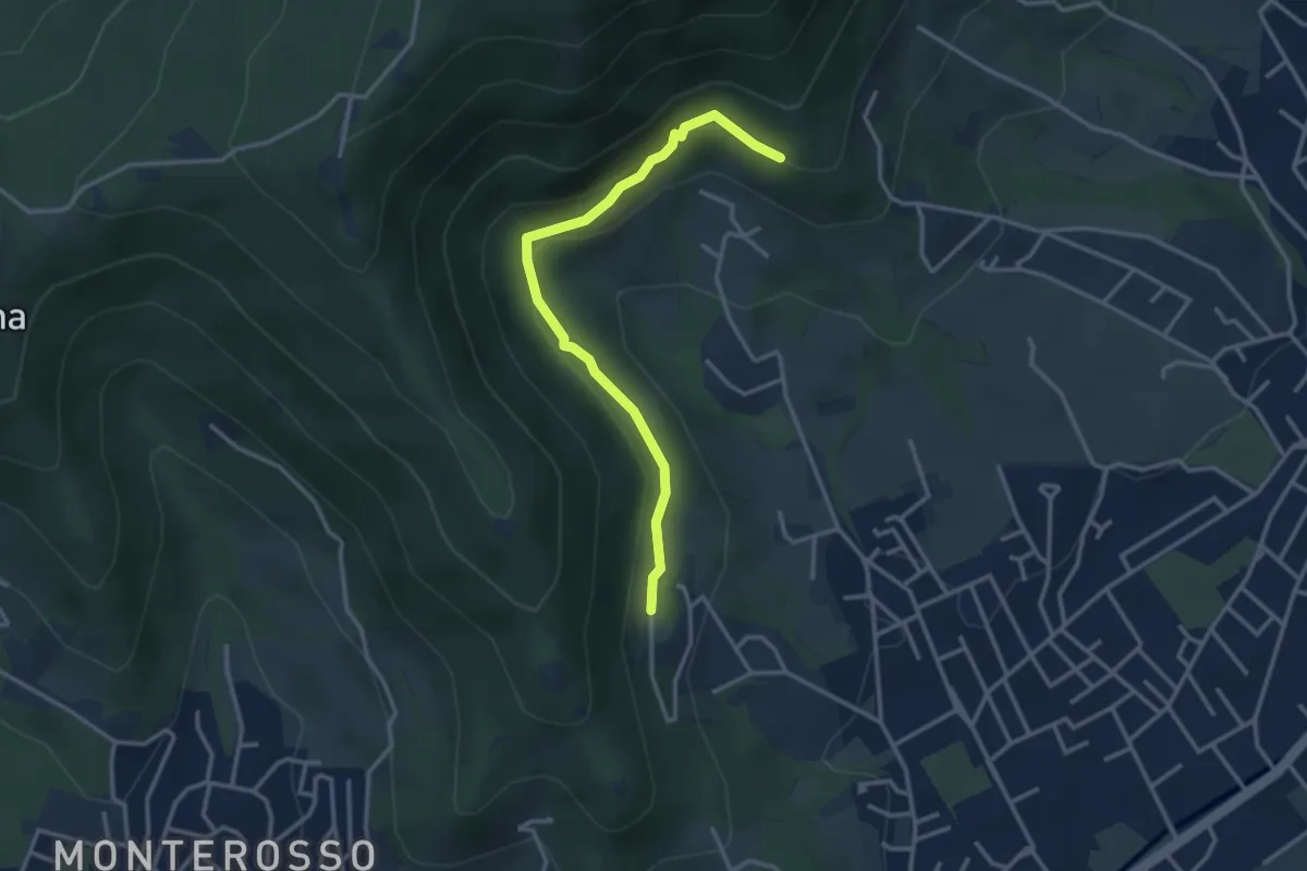
Maresana (Ponteranica) – Castello della Moretta (Ponteranica)
3.0 km · ↑ 63 m · 51 min · 12 km away
Easy · Trail
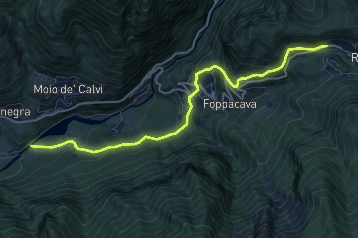
Gaito (Torre Boldone) – San Rocco (Ponteranica)
3.3 km · ↑ 127 m · 1 h 4 min · 12 km away
Medium · Trail
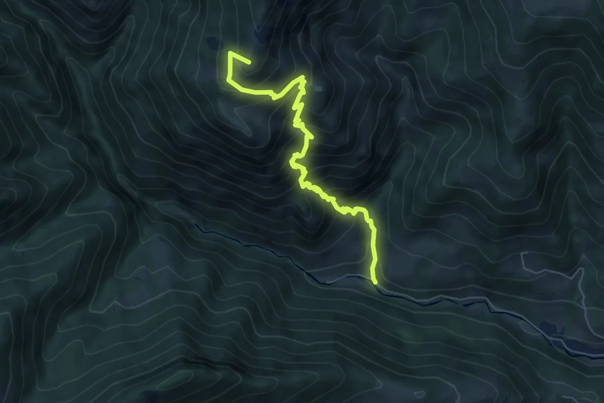
Lenna (Cantone San Francesco) – Roncobello
10.1 km · ↑ 657 m · 3 h 49 min · 12 km away
Medium · Summit
Vertova – Passo di Bliben
6.5 km · ↑ 709 m · 3 h 4 min · 12 km away
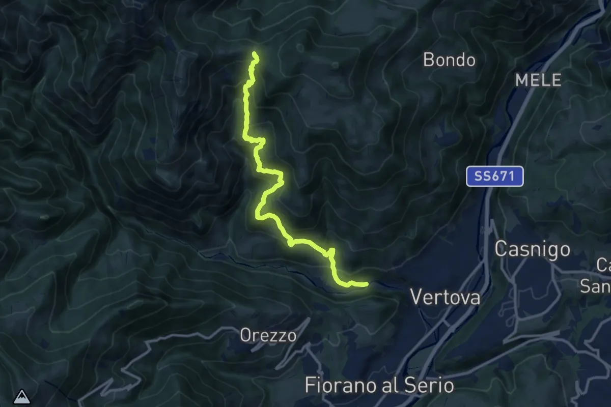
Demanding · Trail
Vertova – Dasla
10.8 km · ↑ 953 m · 4 h 36 min · 12 km away
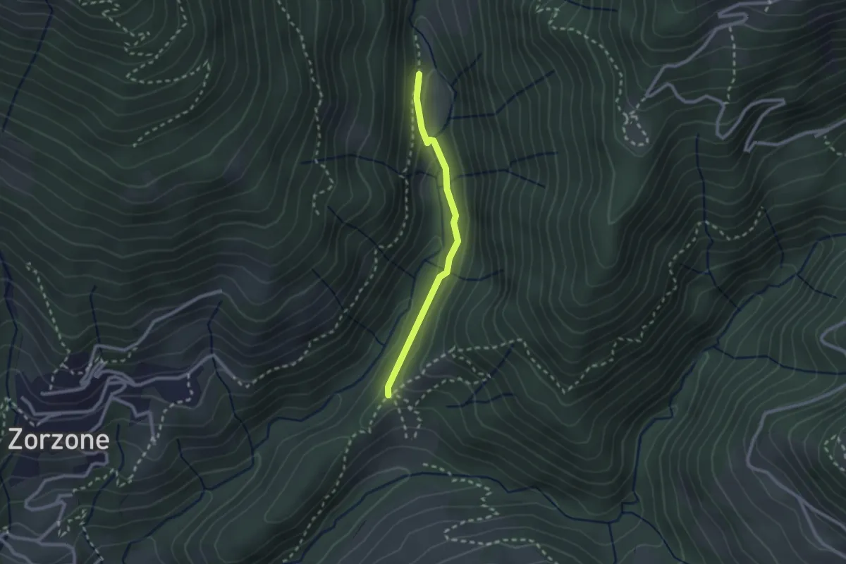
Easy · Trail
Piazzole – Cappella Forcella
2.1 km · ↑ 78 m · 39 min · 12 km away
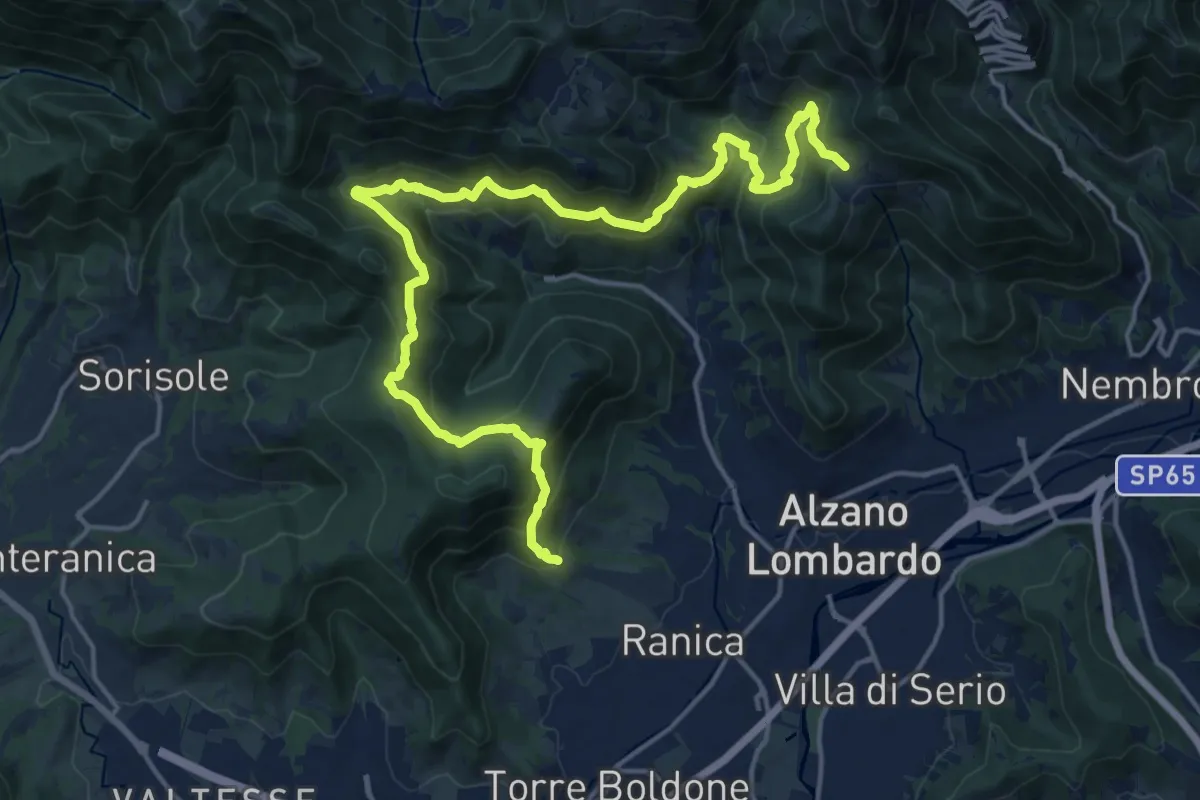
Demanding · Trail
San Rocco (Ranica) – Lonno (Nembro)
20.9 km · ↑ 1269 m · 7 h 41 min · 12 km away
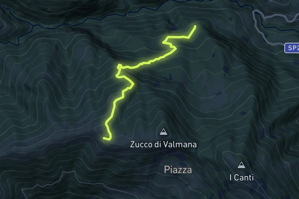
Expert · Trail
Incrocio 569B (Ponte Lavina) – Alpe Costa del Palio
6.6 km · ↑ 579 m · 2 h 49 min · 12 km away
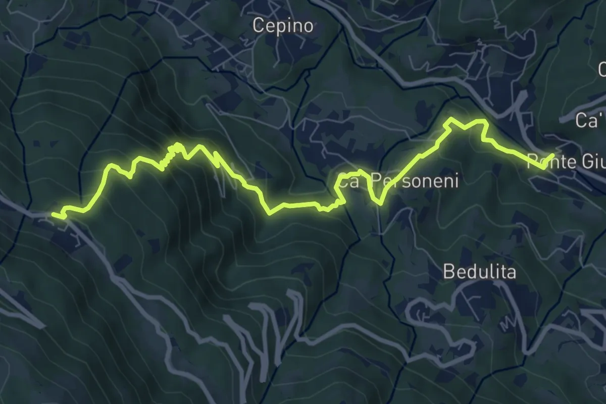
Medium · Trail
Ponte Giurino – Costa Imagna
9.8 km · ↑ 797 m · 4 h 2 min · 12 km away
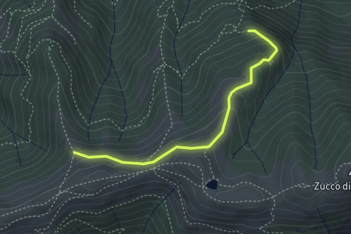
Medium · Trail
Sentiero dei Grandi Alberi - Variante per Alpeggio Costa del Palio e per il Foo di Valmana
3.5 km · ↑ 264 m · 1 h 23 min · 12 km away
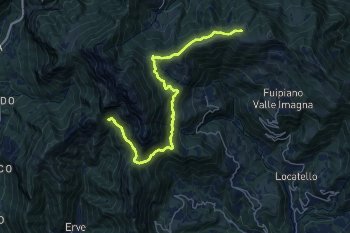
Demanding · Cabin
CamminaForeste - Tappa 9D
18.5 km · ↑ 1177 m · 6 h 55 min · 12 km away
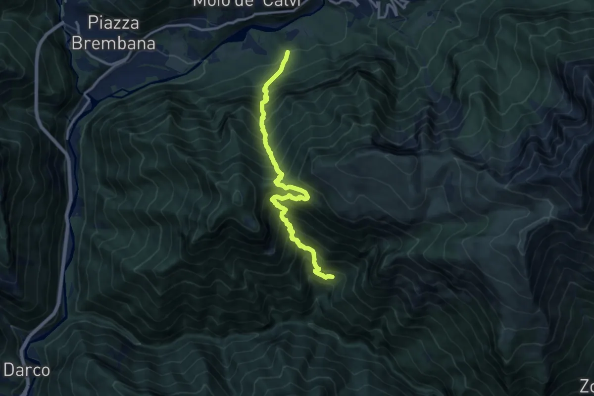
Demanding · Trail
Incrocio 259 – Incrocio 269
11.2 km · ↑ 1484 m · 5 h 51 min · 12 km away
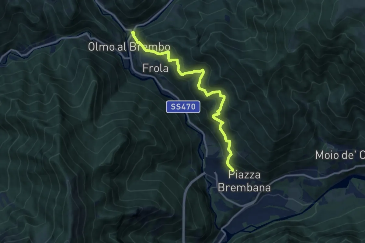
Demanding · Trail
Olmo al Brembo – Piazza Brembana
9.1 km · ↑ 891 m · 4 h 5 min · 12 km away
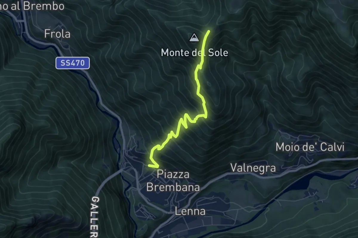
Medium · Trail
Piazza Brembana – Roccolo di Calche
6.6 km · ↑ 773 m · 3 h 14 min · 12 km away
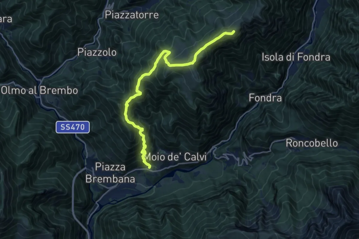
Demanding · Summit
Valnegra - Monte Torcola - Forcolino di Torcola Vaga
16.6 km · ↑ 1421 m · 6 h 59 min · 12 km away
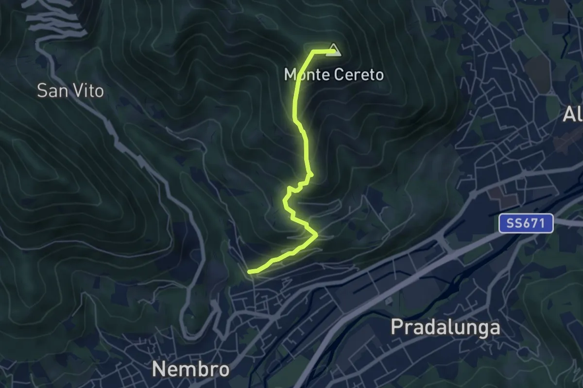
Medium · Summit
Trevasco (Nembro) – Monte Cereto
4.8 km · ↑ 563 m · 2 h 21 min · 13 km away
Medium · Summit
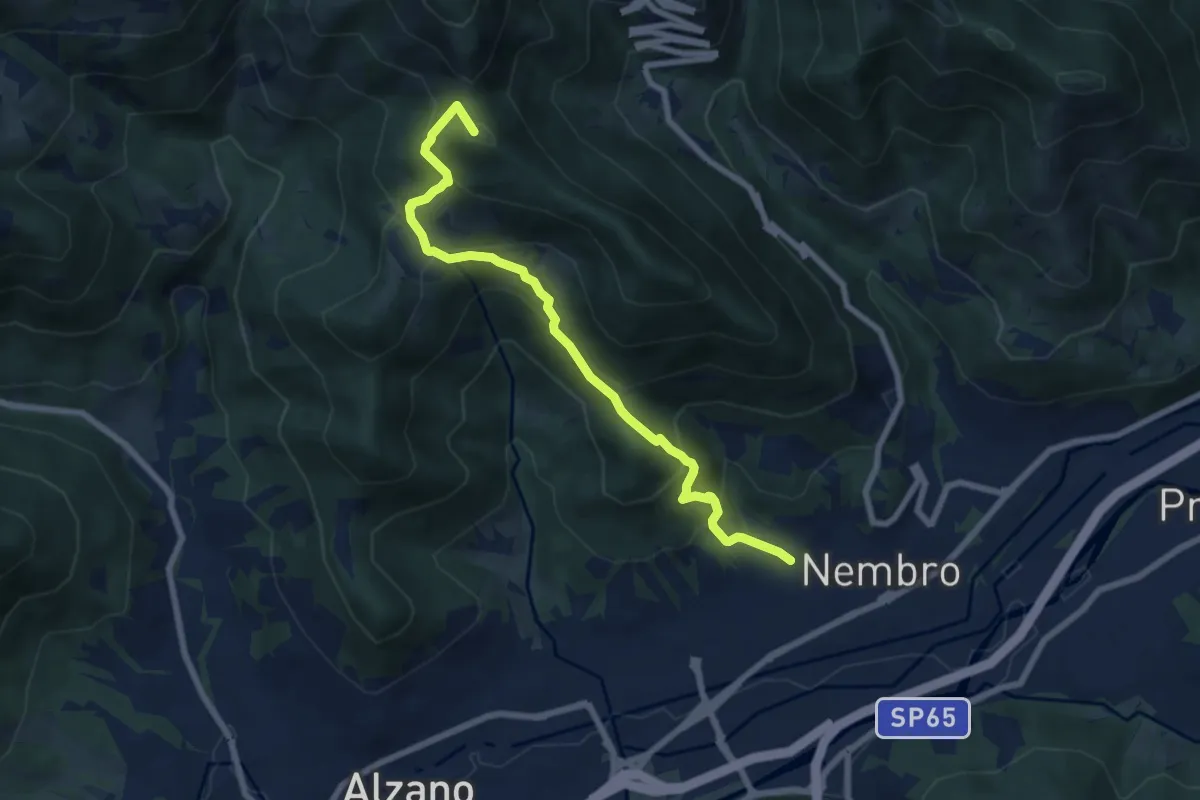
Madonna dello Zuccarello (Nembro) – Selvino
7.5 km · ↑ 583 m · 3 h 3 min · 13 km away
Medium · Trail
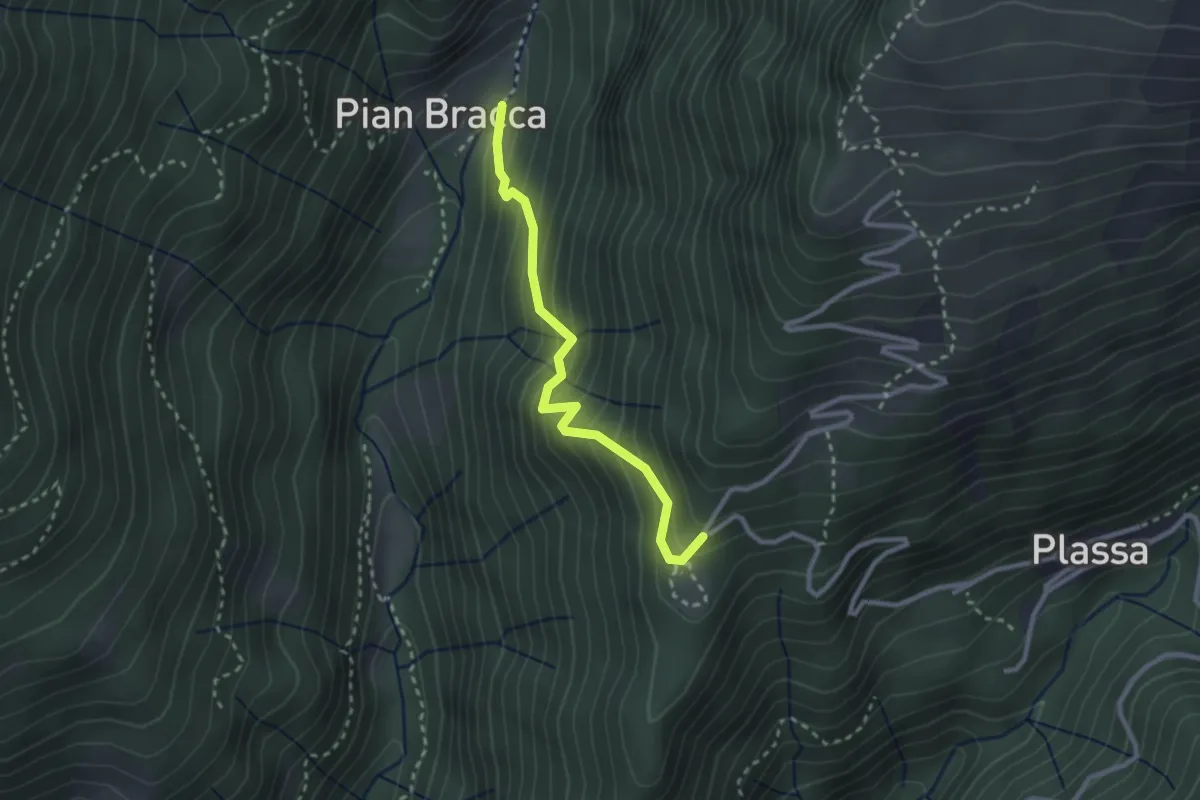
Pian Bracca (incrocio 231) – Cattedrale Vegetale
2.6 km · ↑ 299 m · 1 h 15 min · 13 km away
Medium · Trail
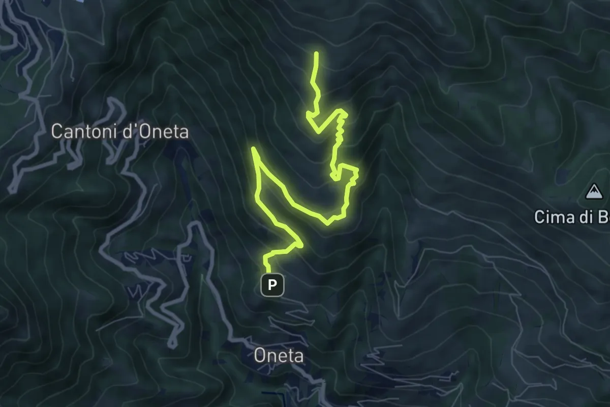
Oneta – Baita di Mezzo di Grem
8.4 km · ↑ 651 m · 3 h 24 min · 13 km away
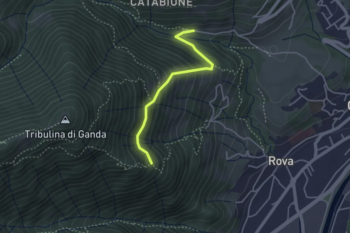
Demanding · Trail
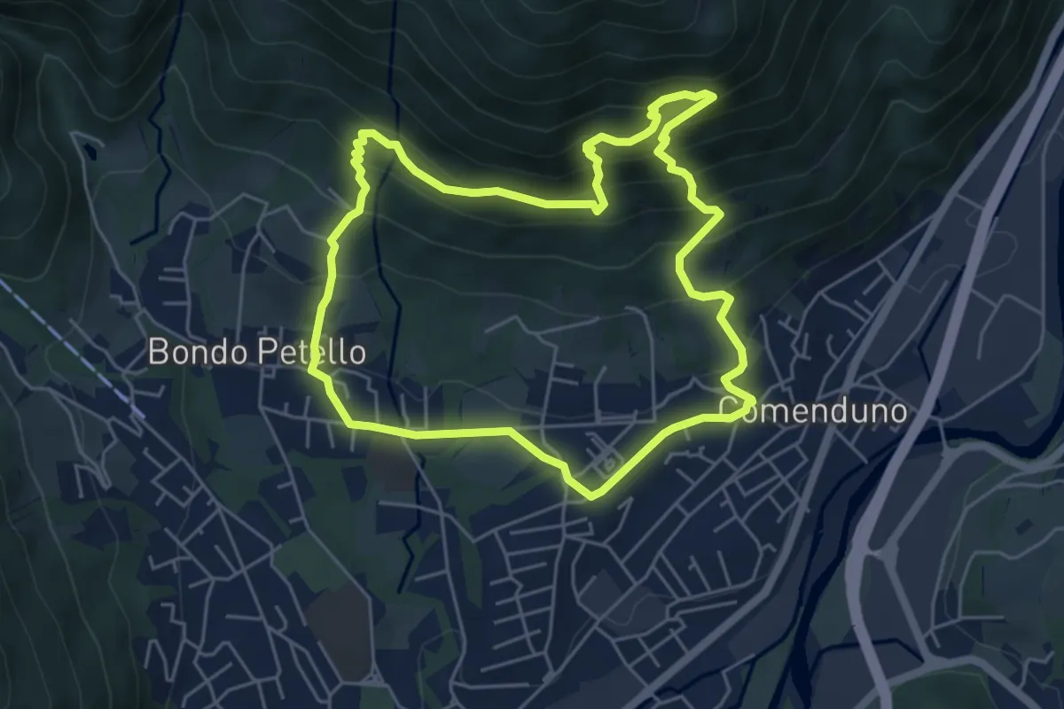
Sentiero 1
5.2 km · ↑ 485 m · 2 h 21 min · 13 km away
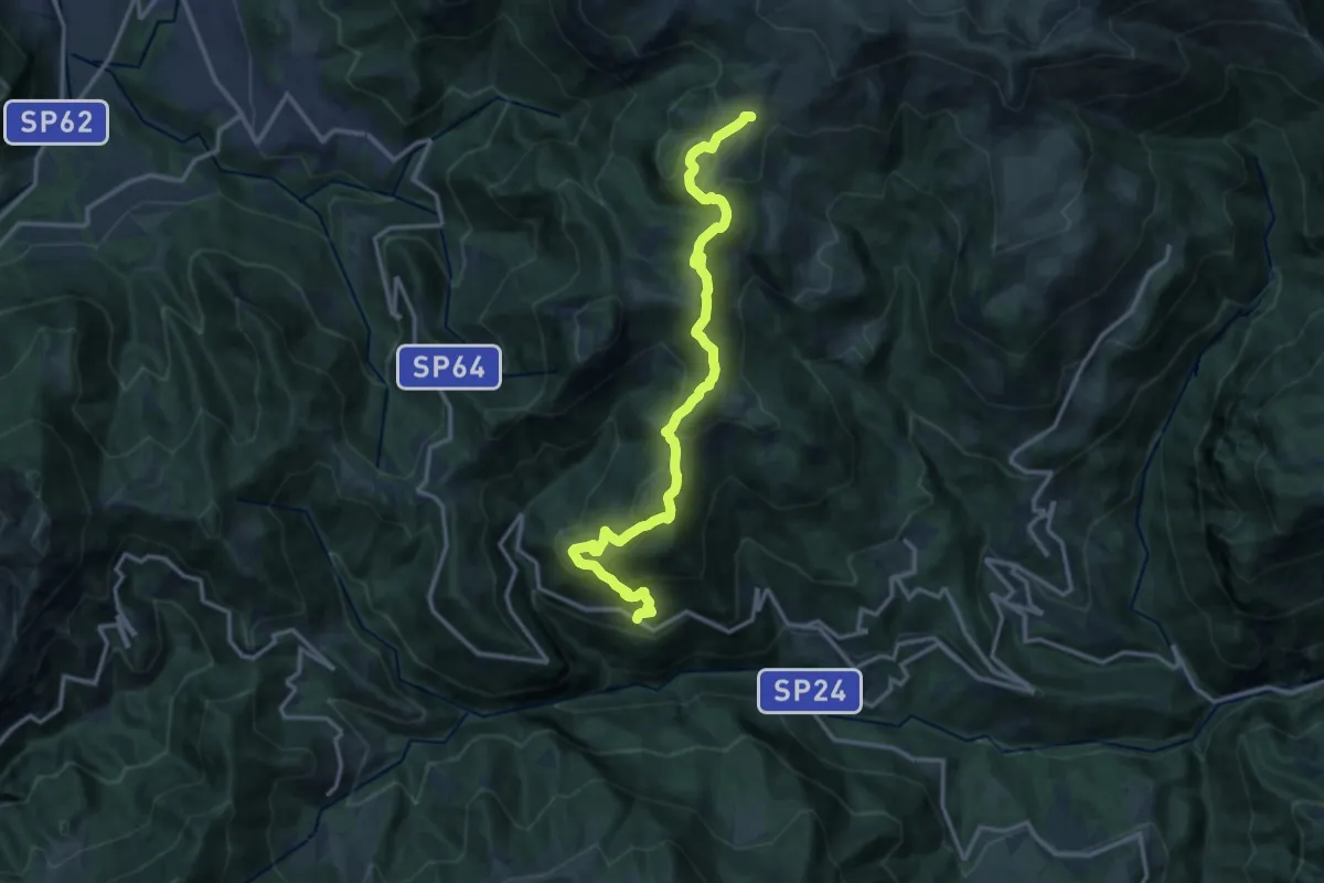
Medium · Trail
Incrocio 521 – Incrocio 522
2.9 km · ↑ 270 m · 1 h 16 min · 13 km away
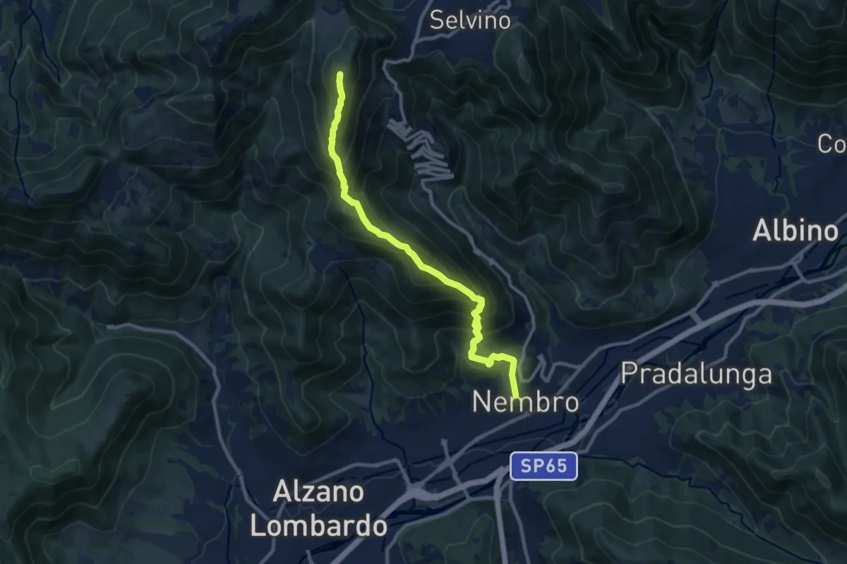
Medium · Trail
Avolasio (Vedeseta) – Piani di Artavaggio
14.8 km · ↑ 756 m · 5 h 8 min · 13 km away
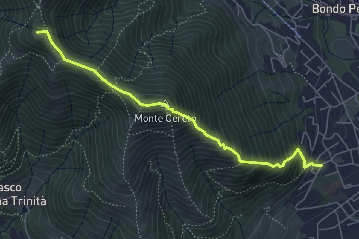
Demanding · Summit
Nembro – Salmezza
10.3 km · ↑ 993 m · 4 h 34 min · 13 km away
Medium · Summit
Albino – Selvino (Masu)
5.0 km · ↑ 625 m · 2 h 32 min · 13 km away
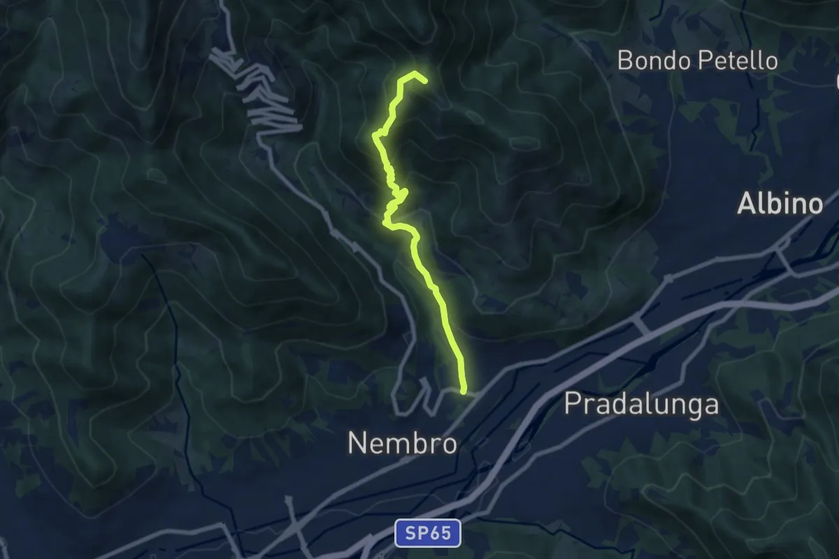
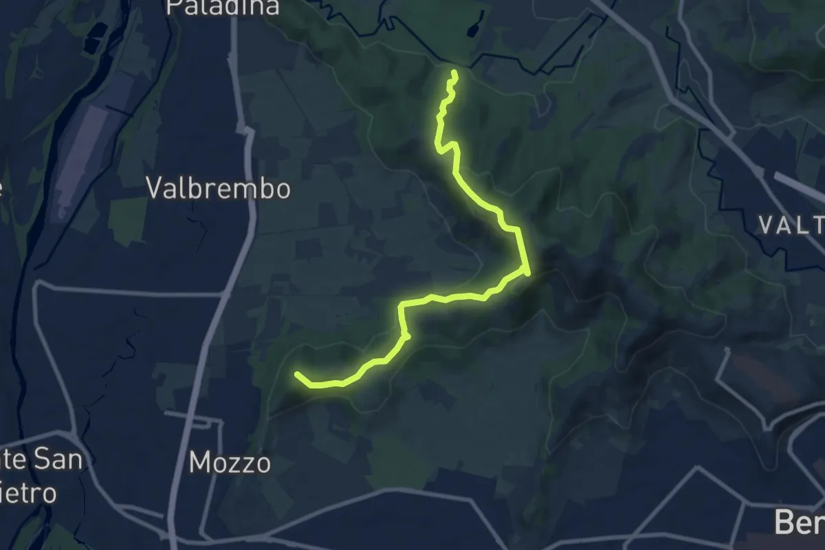
Medium · Summit
Trevasco (Nembro) – Selvino
6.8 km · ↑ 603 m · 2 h 55 min · 13 km away
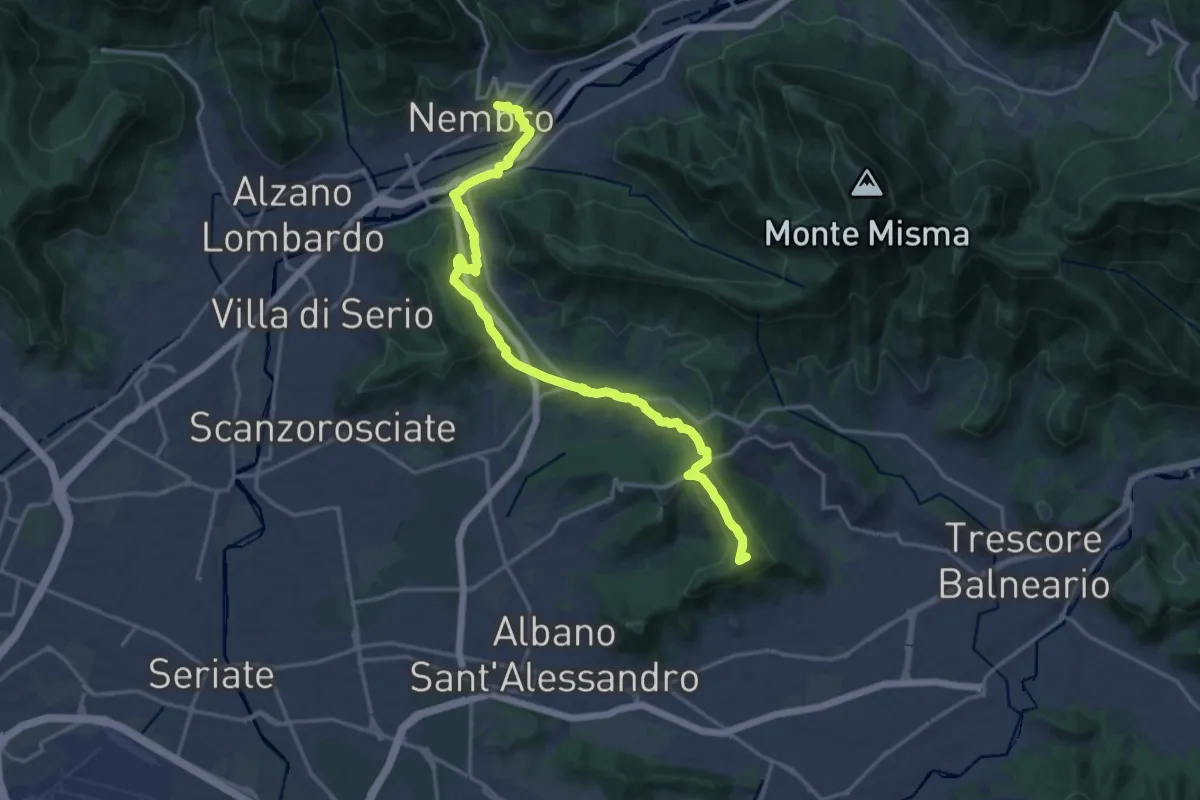
Medium · Summit
Traccia Partigiana
9.0 km · ↑ 351 m · 2 h 54 min · 13 km away
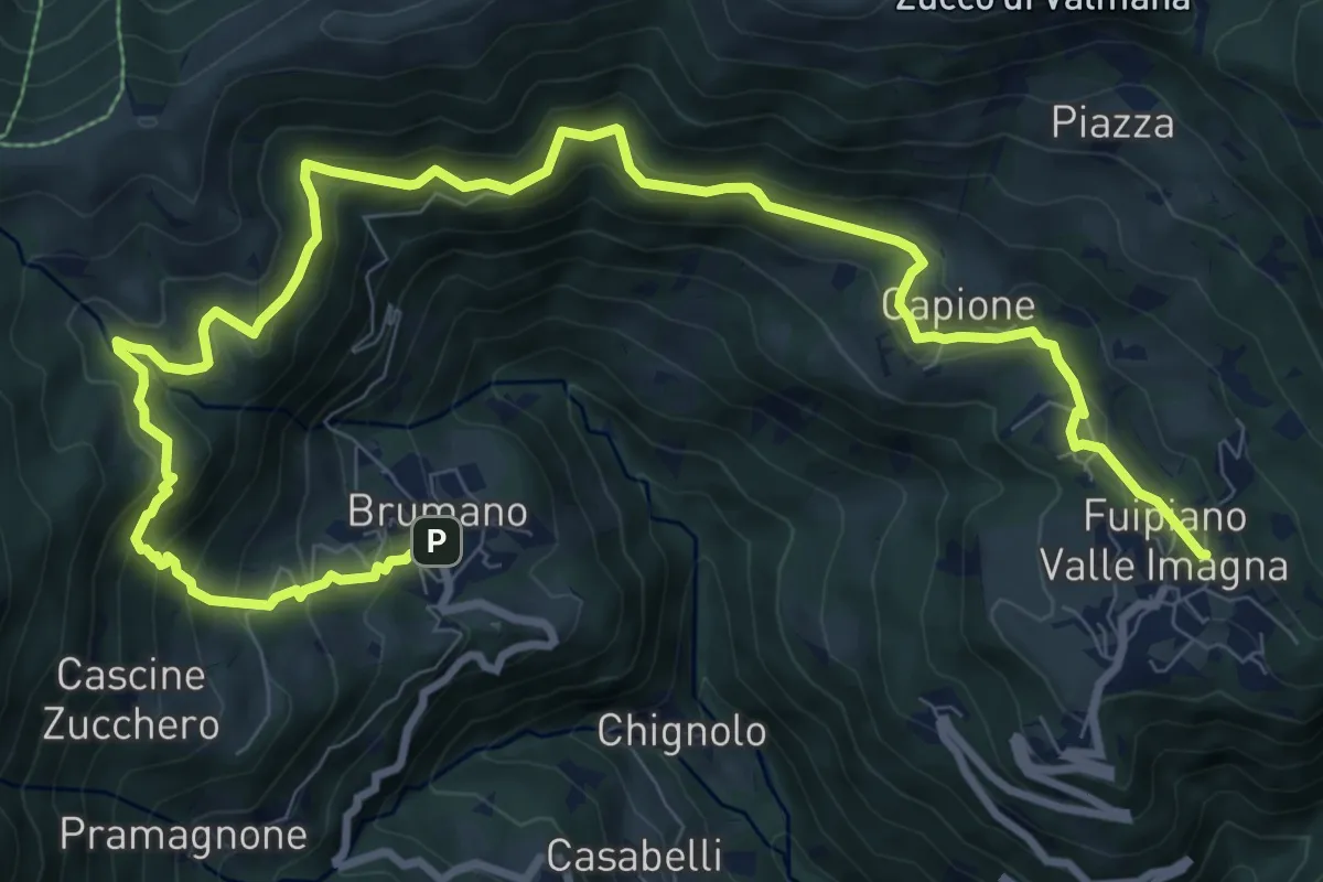
Medium · Summit
La Via delle Sorelle - Tappa 5
9.4 km · ↑ 284 m · 2 h 54 min · 13 km away
Demanding · Trail
Sentiero dei Laghi Basso- Tappa 2
13.6 km · ↑ 854 m · 5 h 3 min · 13 km away
Demanding · Summit
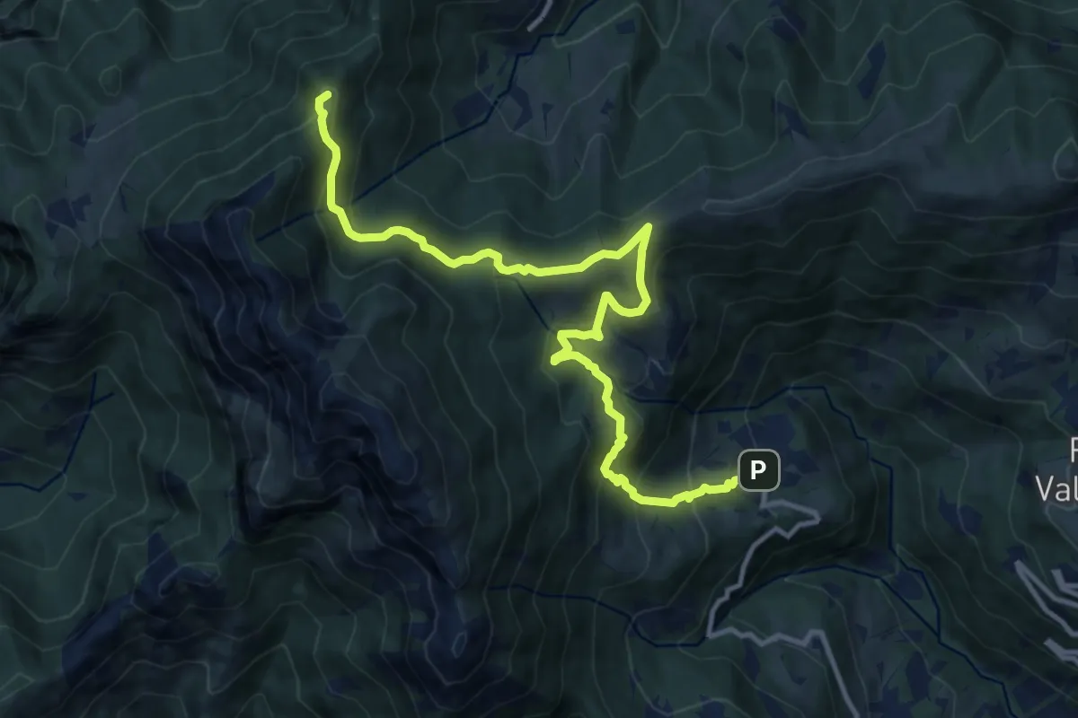
Sentiero dei Laghi Basso - Tappa 1
13.1 km · ↑ 881 m · 5 h · 13 km away
Medium · Trail
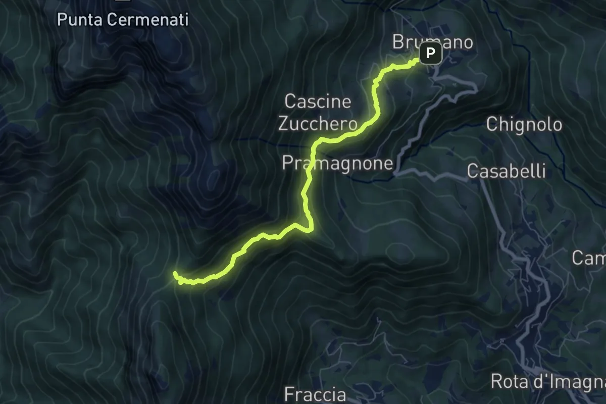
Brumano – La Passata
7.1 km · ↑ 520 m · 2 h 49 min · 13 km away
Demanding · Trail
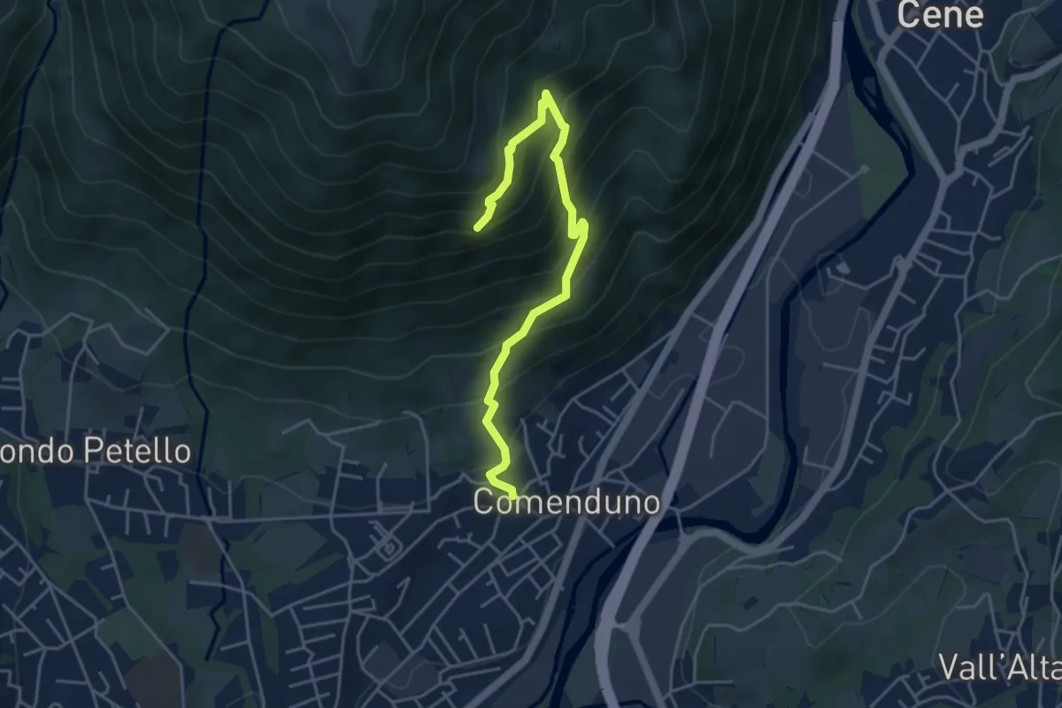
Sentiero della Barchéssa Antonio Manganoni
4.6 km · ↑ 546 m · 2 h 16 min · 13 km away
Demanding · Trail
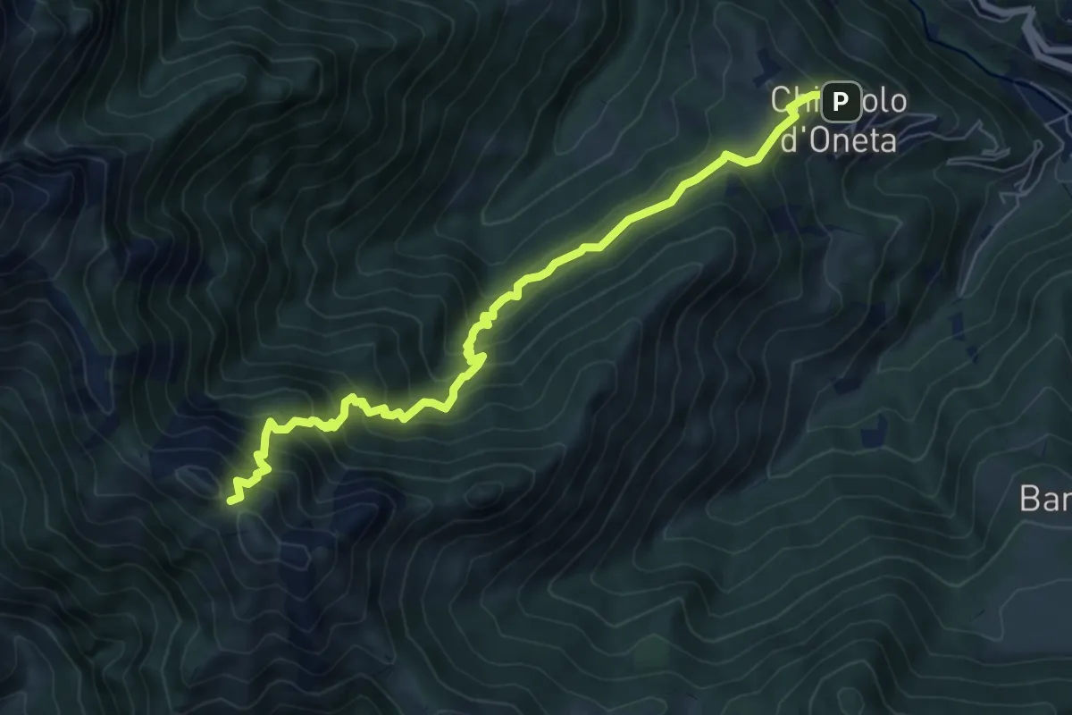
Chignolo (Oneta) – Passo di Pradaccio
7.5 km · ↑ 811 m · 3 h 32 min · 13 km away