Trails near San Pellegrino Terme
314 hikes starting within 15 km, nearest first.
Nearest first, page 6 of 7
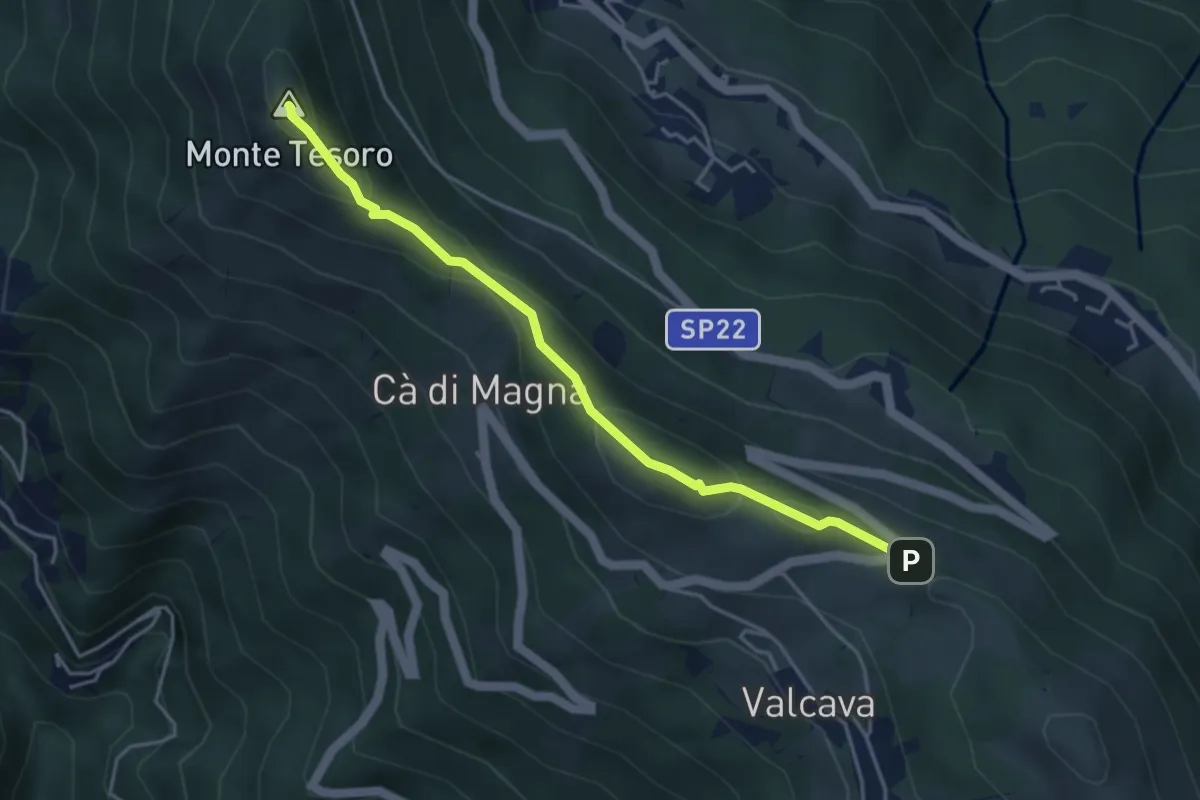
Medium · Summit
Ripetitori (Valcava) – Convento del Pertus
4.1 km · ↑ 216 m · 1 h 27 min · 13 km away
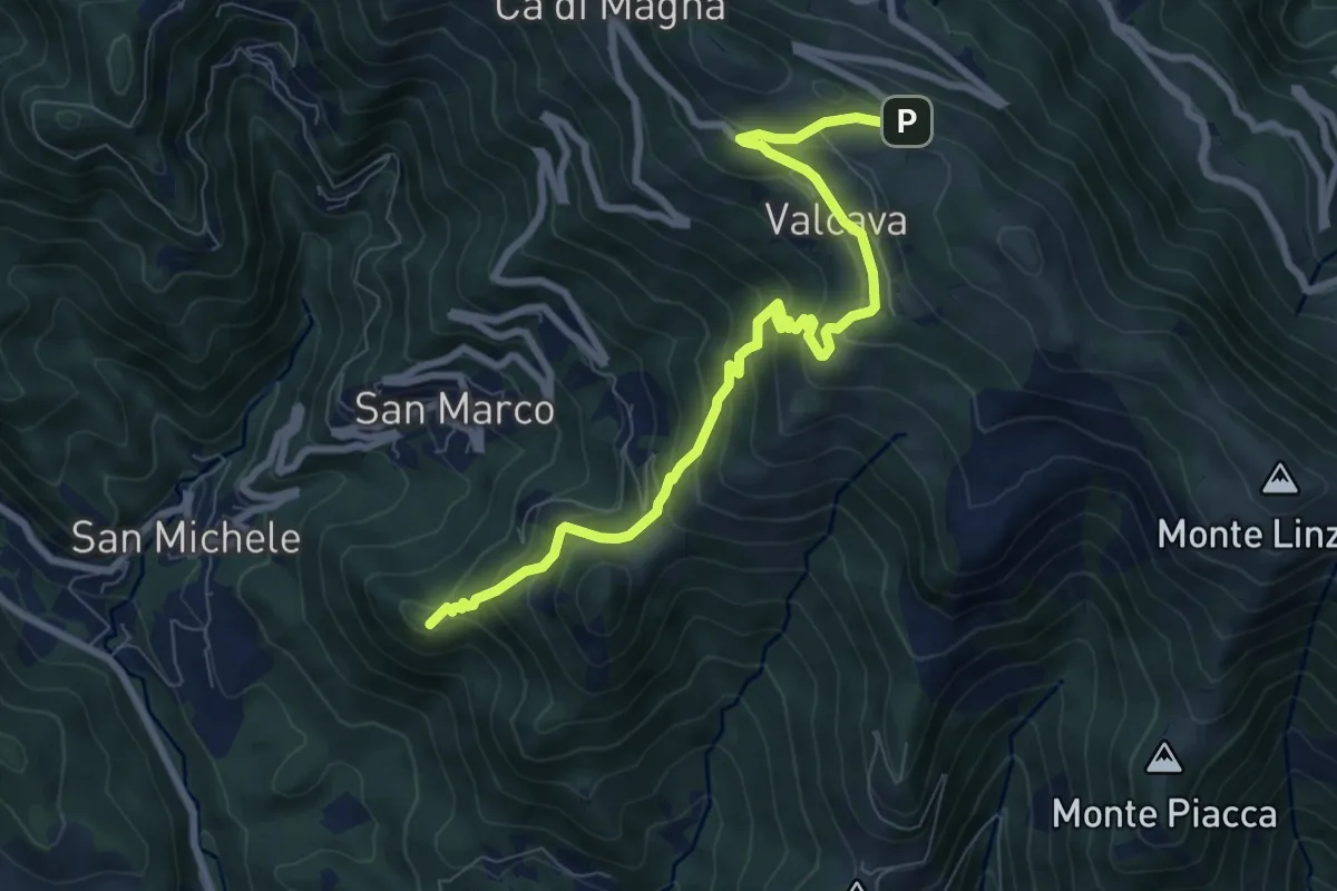
Medium · Summit
Torre de' Busi – Ripetitori (Valcava)
8.7 km · ↑ 620 m · 3 h 23 min · 13 km away
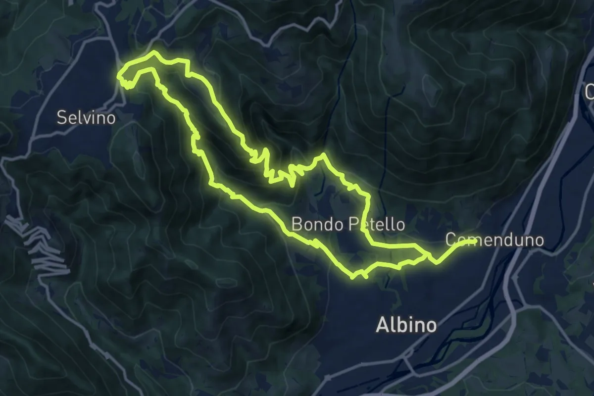
Medium · Summit
Sentiero 5
12.7 km · ↑ 702 m · 4 h 42 min · 13 km away
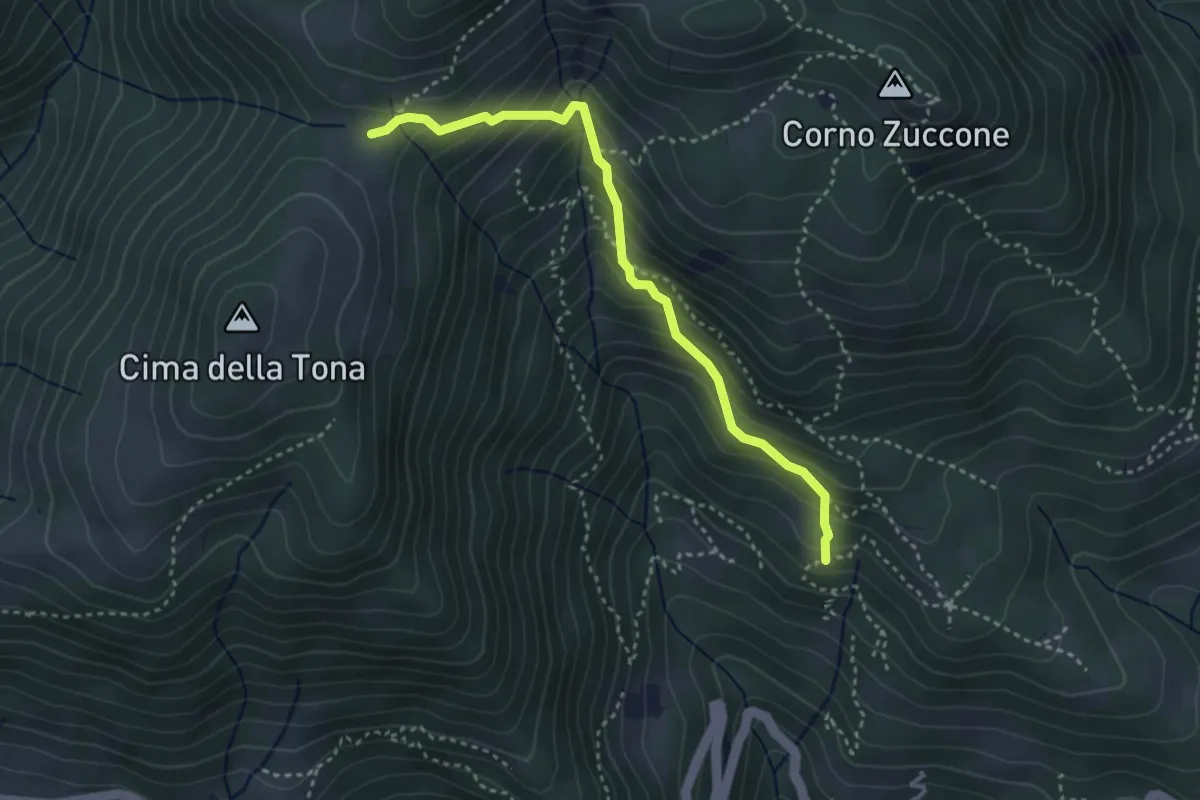
Medium · Trail
Baita Zucai (incrocio 152A) – Passo della Sella
3.5 km · ↑ 363 m · 1 h 36 min · 13 km away
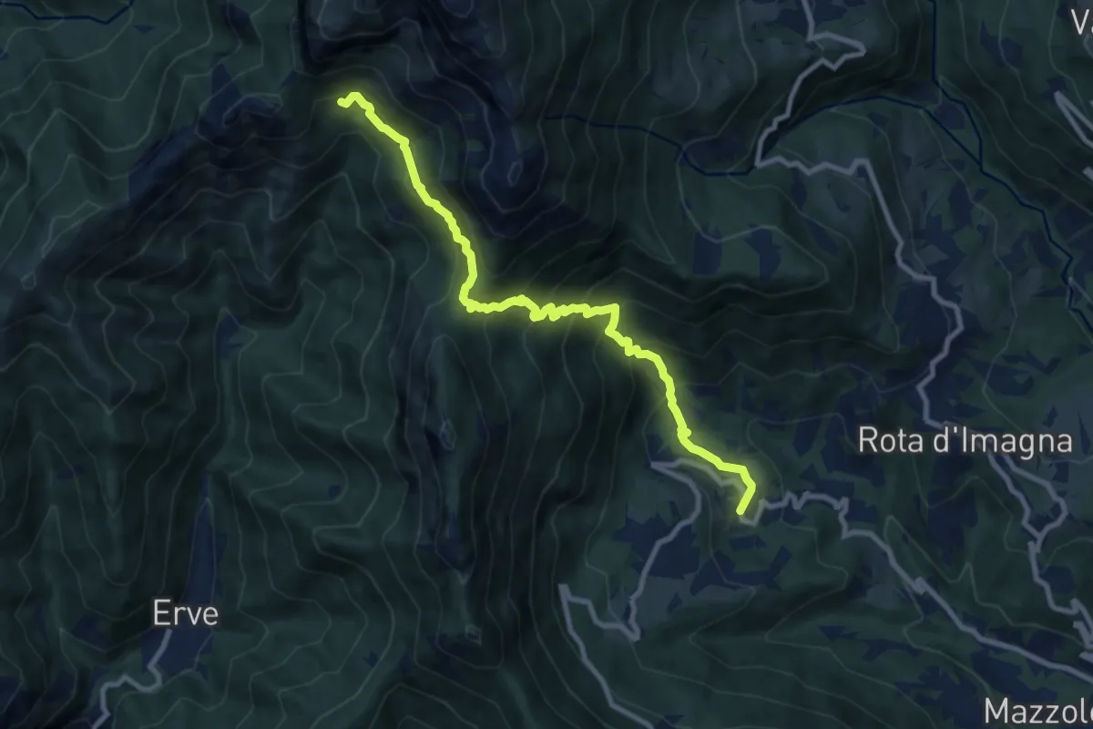
Demanding · Cabin
Valsecca – Capanna Alpinisti Monzesi
9.6 km · ↑ 868 m · 4 h 8 min · 13 km away
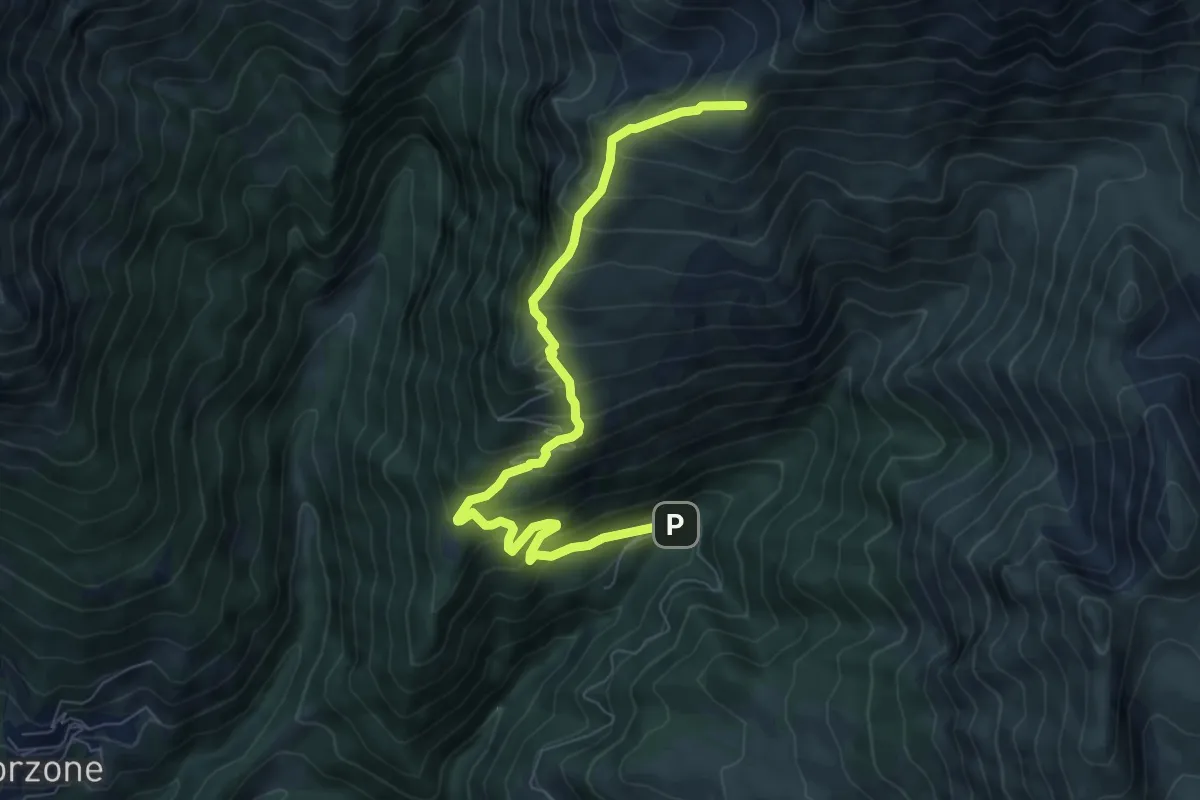
Demanding · Cabin
Zambla – Rifugio Capanna 2000
7.9 km · ↑ 847 m · 3 h 43 min · 13 km away
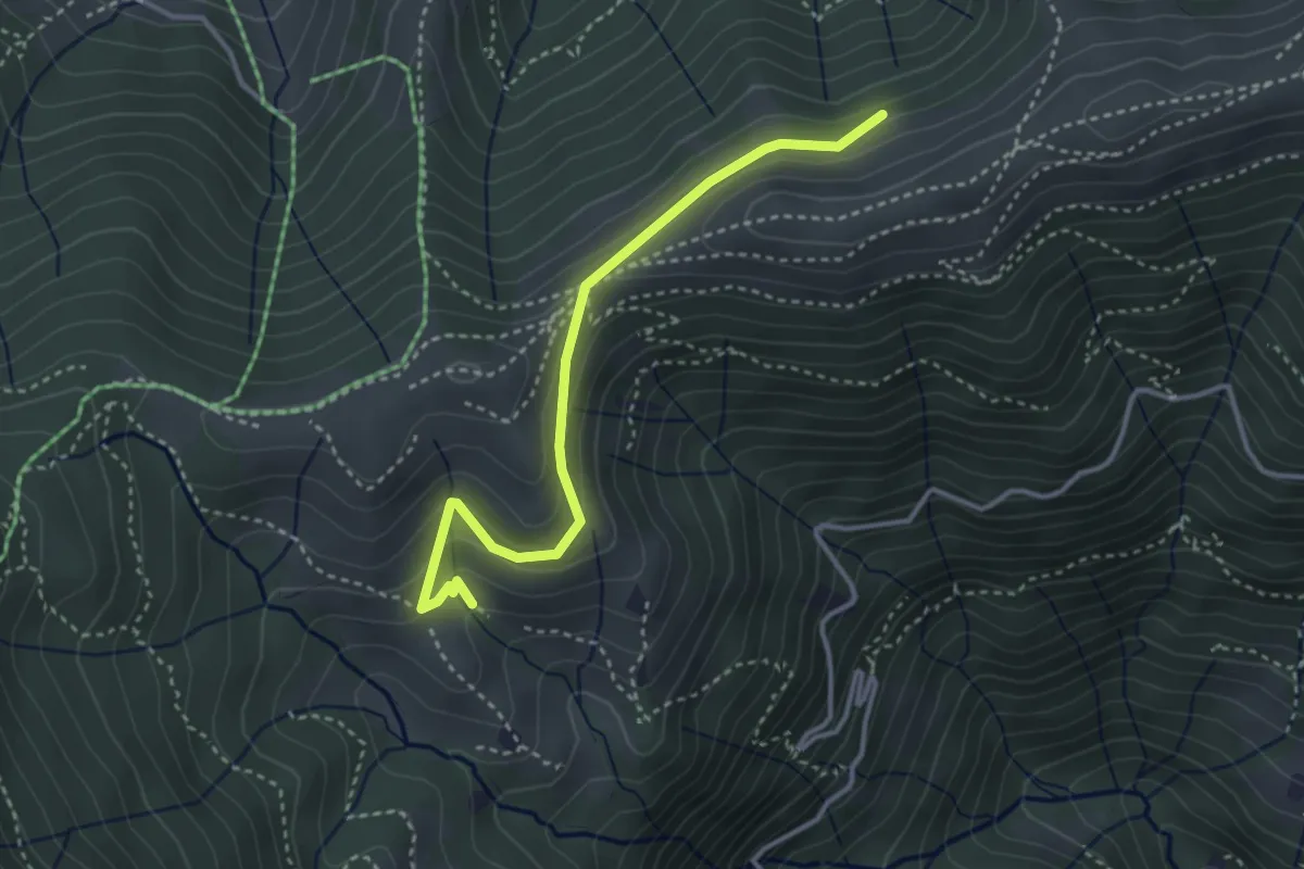
Medium · Cabin
Sentiero dei Grandi Alberi - Variante per il Foo del Büs
3.5 km · ↑ 179 m · 1 h 13 min · 13 km away
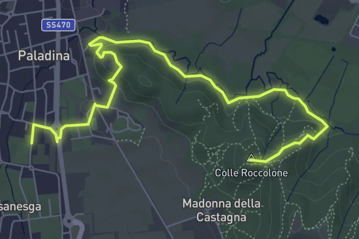
Easy · Summit
Il Sentiero di Ilaria
7.2 km · ↑ 194 m · 2 h 8 min · 13 km away
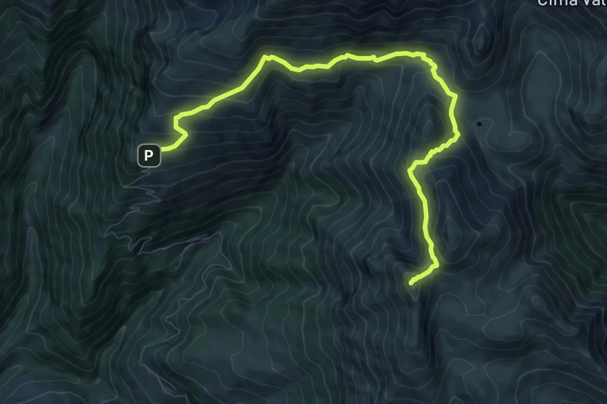
Medium · Summit
Rifugio SABA – Cima di Grem
10.9 km · ↑ 648 m · 3 h 59 min · 13 km away
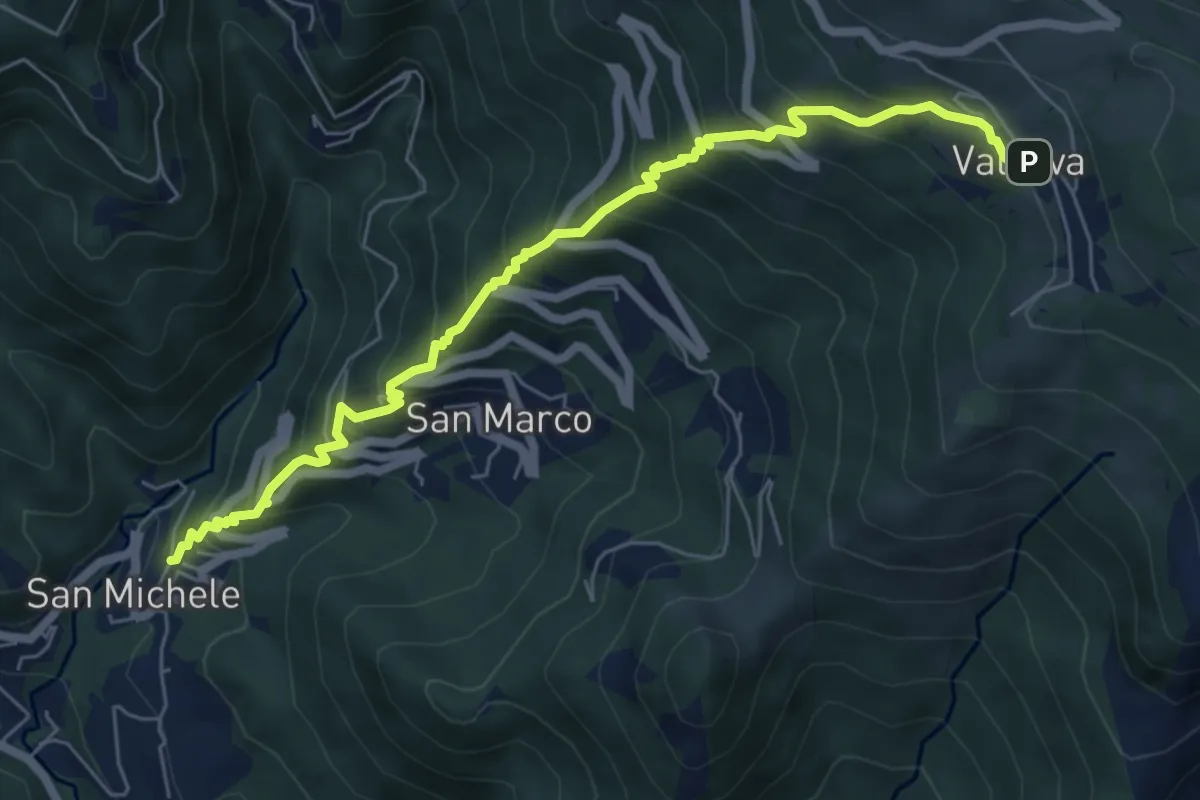
Medium · Trail
Torre de' Busi – Valcava
6.9 km · ↑ 790 m · 3 h 20 min · 13 km away
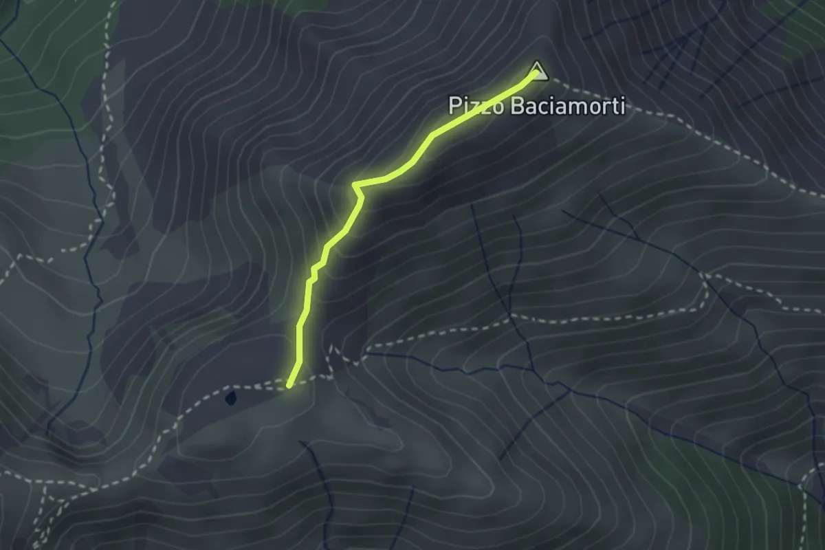
Demanding · Summit
Passo Baciamorti – Baita Cambretondo
2.0 km · ↑ 162 m · 50 min · 13 km away
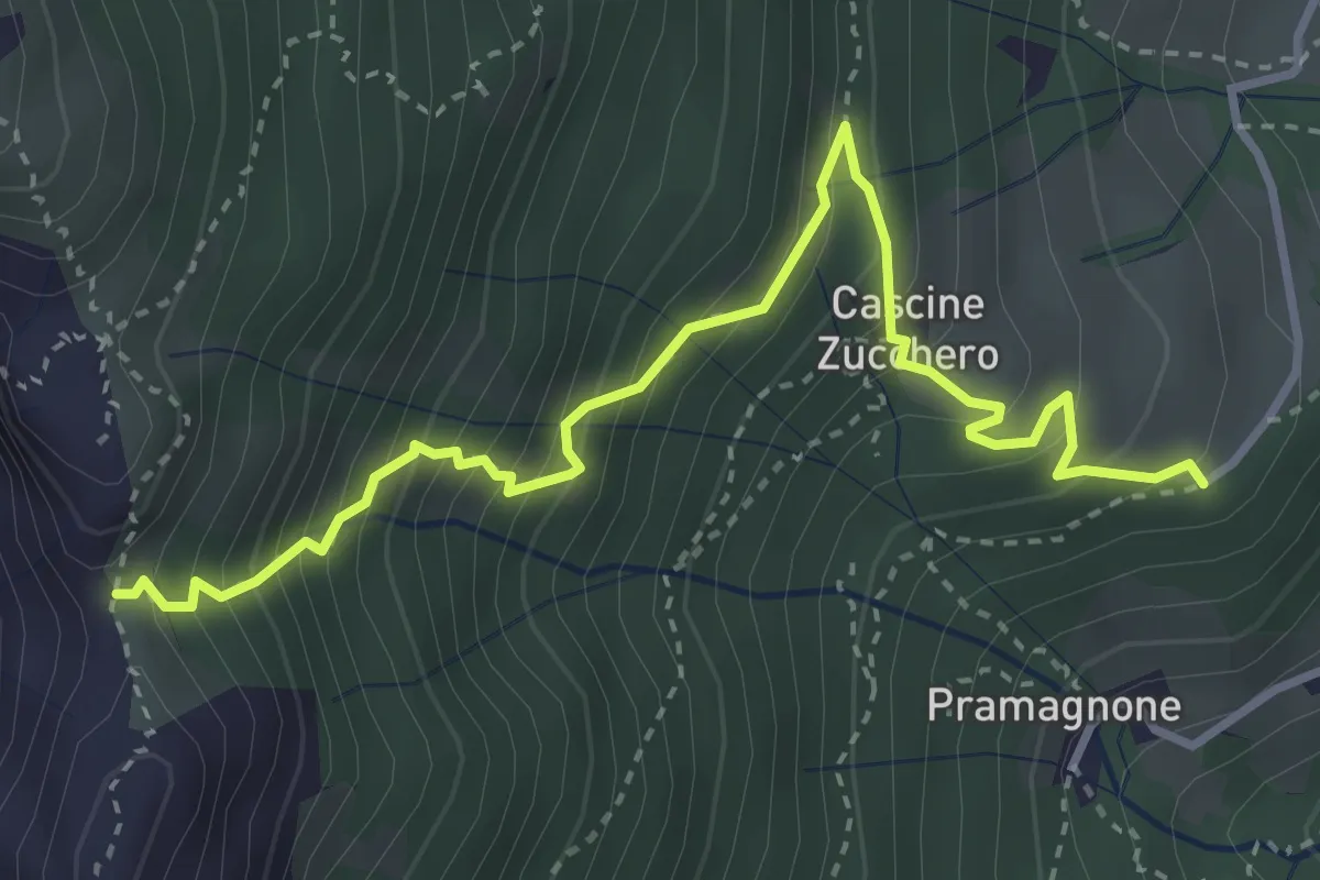
Demanding · Trail
Cascina Zucchero (Brumano) – Cima Piazzo
4.0 km · ↑ 518 m · 2 h 5 min · 13 km away
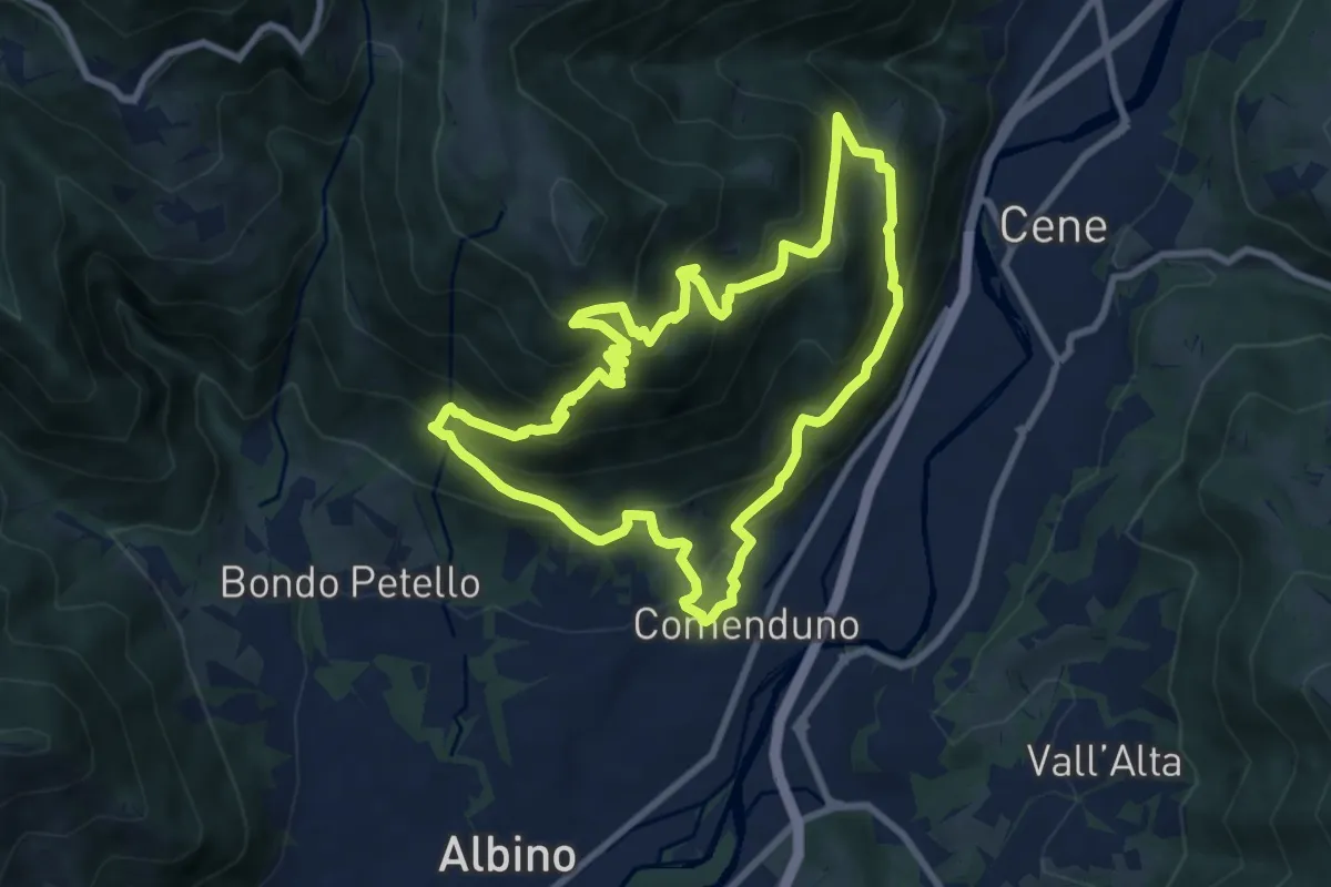
Demanding · Trail
Sentiero Agostino Noris
8.5 km · ↑ 767 m · 3 h 46 min · 13 km away
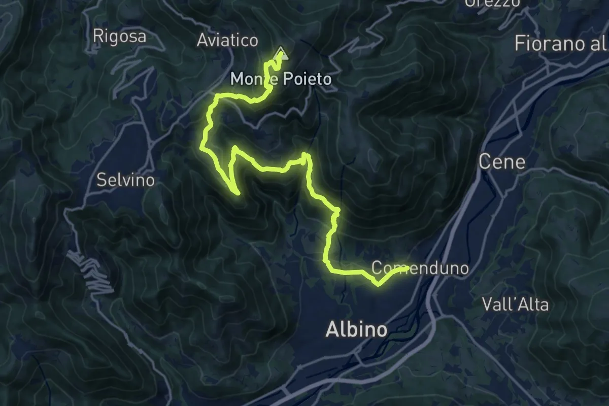
Demanding · Summit
Comenduno (Albino) – Monte Poieto
19.0 km · ↑ 1177 m · 7 h 3 min · 13 km away
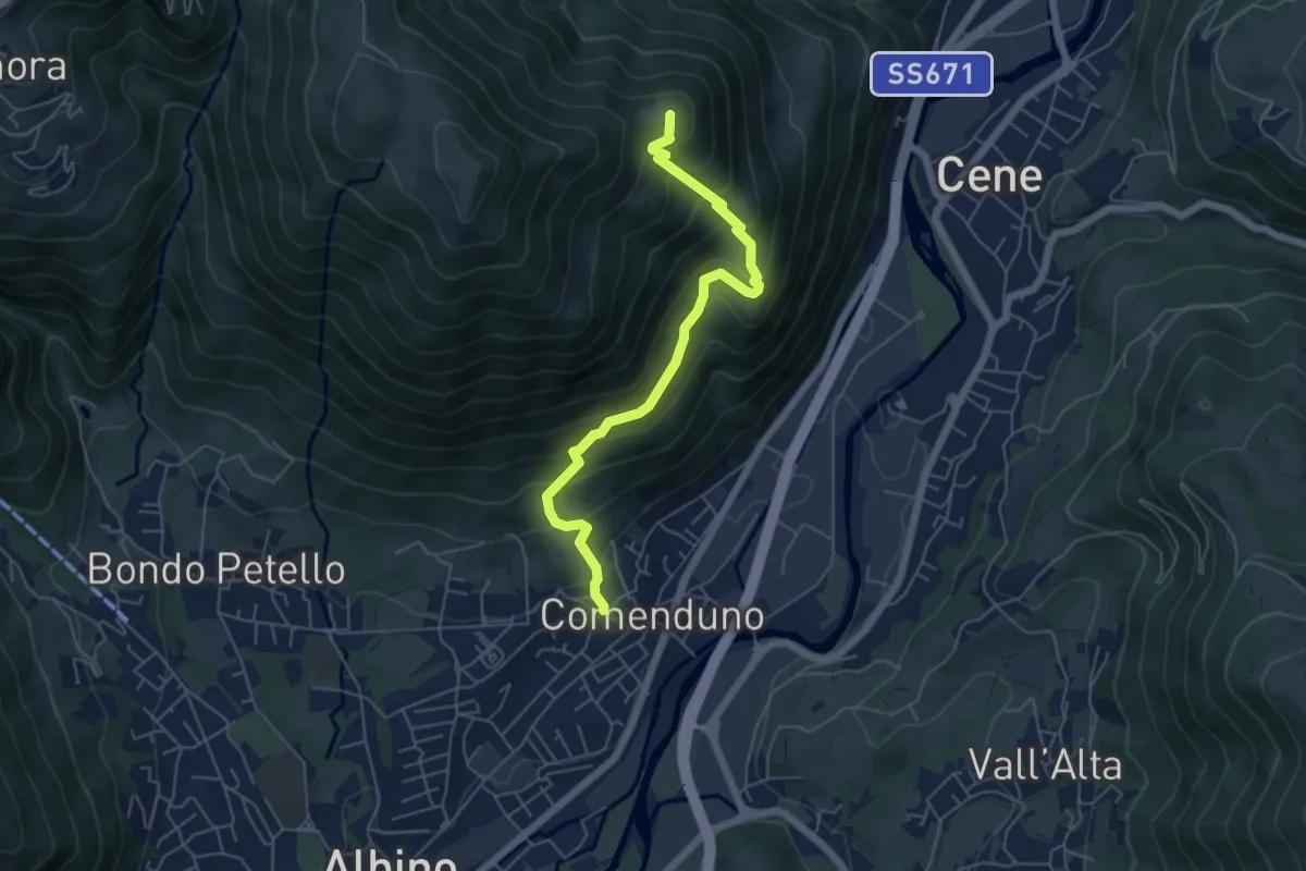
Medium · Summit
Comenduno (Albino) – Ganda
5.7 km · ↑ 511 m · 2 h 27 min · 13 km away
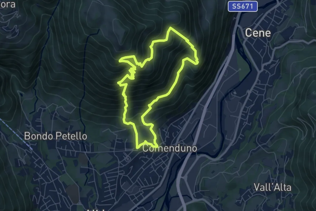
Demanding · Trail
Sentiero 2
6.4 km · ↑ 687 m · 3 h 5 min · 13 km away
Demanding · Summit
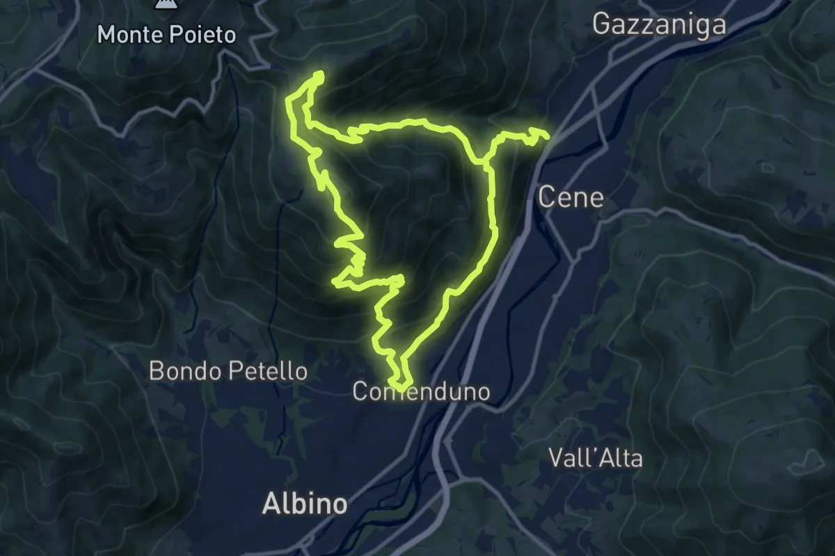
Comenduno (Albino) – Comenduno (Albino)
11.1 km · ↑ 1121 m · 5 h 6 min · 13 km away
Medium · Trail
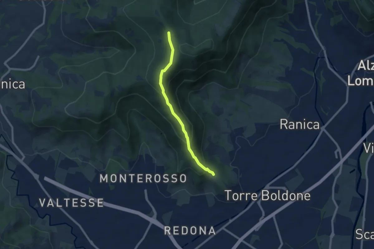
Calvarola (Bergamo) – Croce dei Morti (Ponteranica)
5.2 km · ↑ 329 m · 1 h 57 min · 14 km away
Demanding · Summit
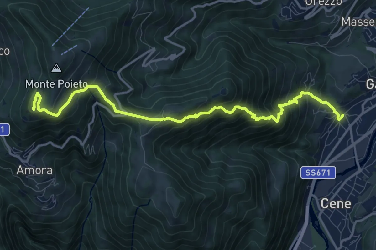
Rova (Gazzaniga) – Monte Cornagera
10.9 km · ↑ 990 m · 4 h 43 min · 14 km away
Demanding · Trail
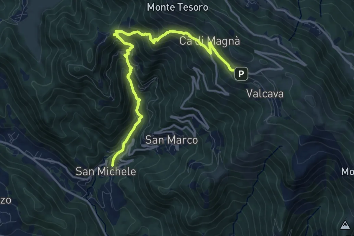
Torre de' Busi – Valcava
10.8 km · ↑ 894 m · 4 h 29 min · 14 km away
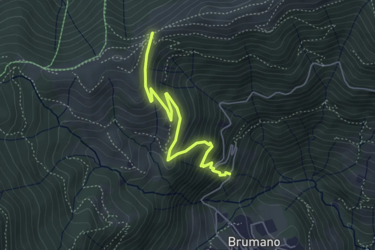
Medium · Trail
Brumano – Passo del Palio
4.3 km · ↑ 401 m · 1 h 54 min · 14 km away
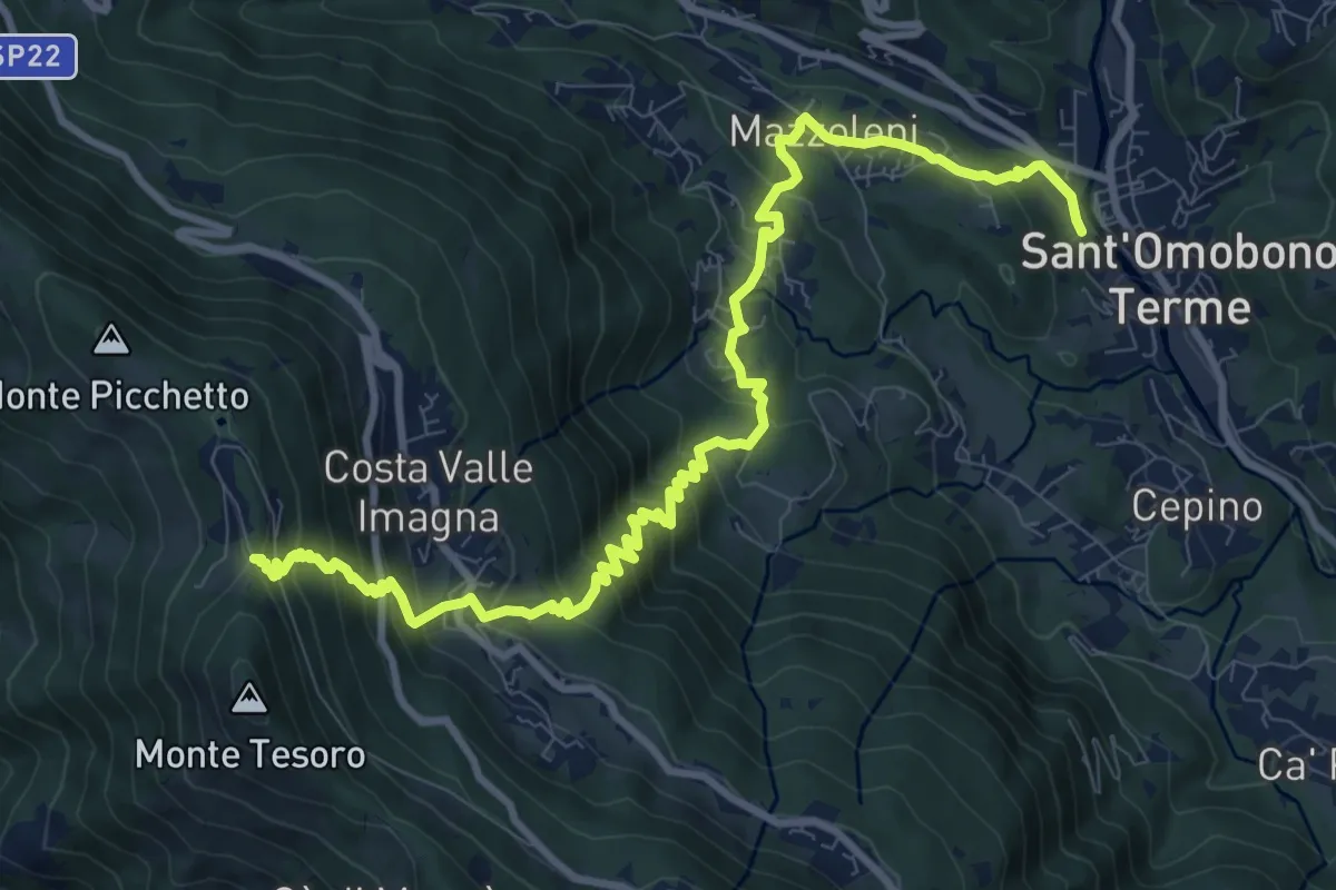
Demanding · Trail
Ca' Mazzoleni – Forcella Alta
12.2 km · ↑ 902 m · 4 h 50 min · 14 km away
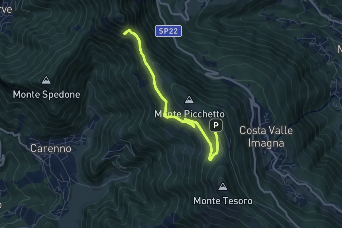
Medium · Trail
Percorso didattico naturalistico del Pertüs
7.0 km · ↑ 262 m · 2 h 13 min · 14 km away
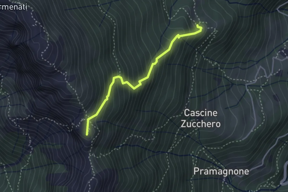
Demanding · Summit
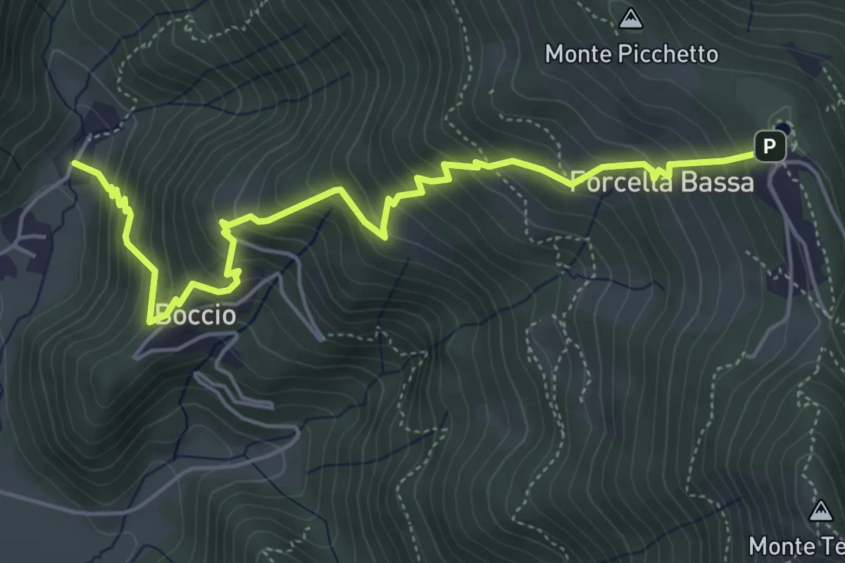
Rifugio Resegone (incrocio 587) – Passo dei Solitari
3.1 km · ↑ 351 m · 1 h 29 min · 14 km away
Medium · Trail
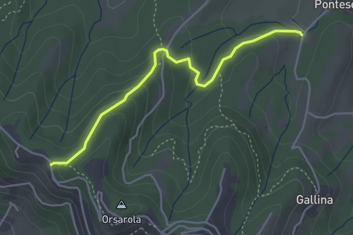
Carenno – Forcella Alta
5.8 km · ↑ 631 m · 2 h 45 min · 14 km away
Demanding · Trail
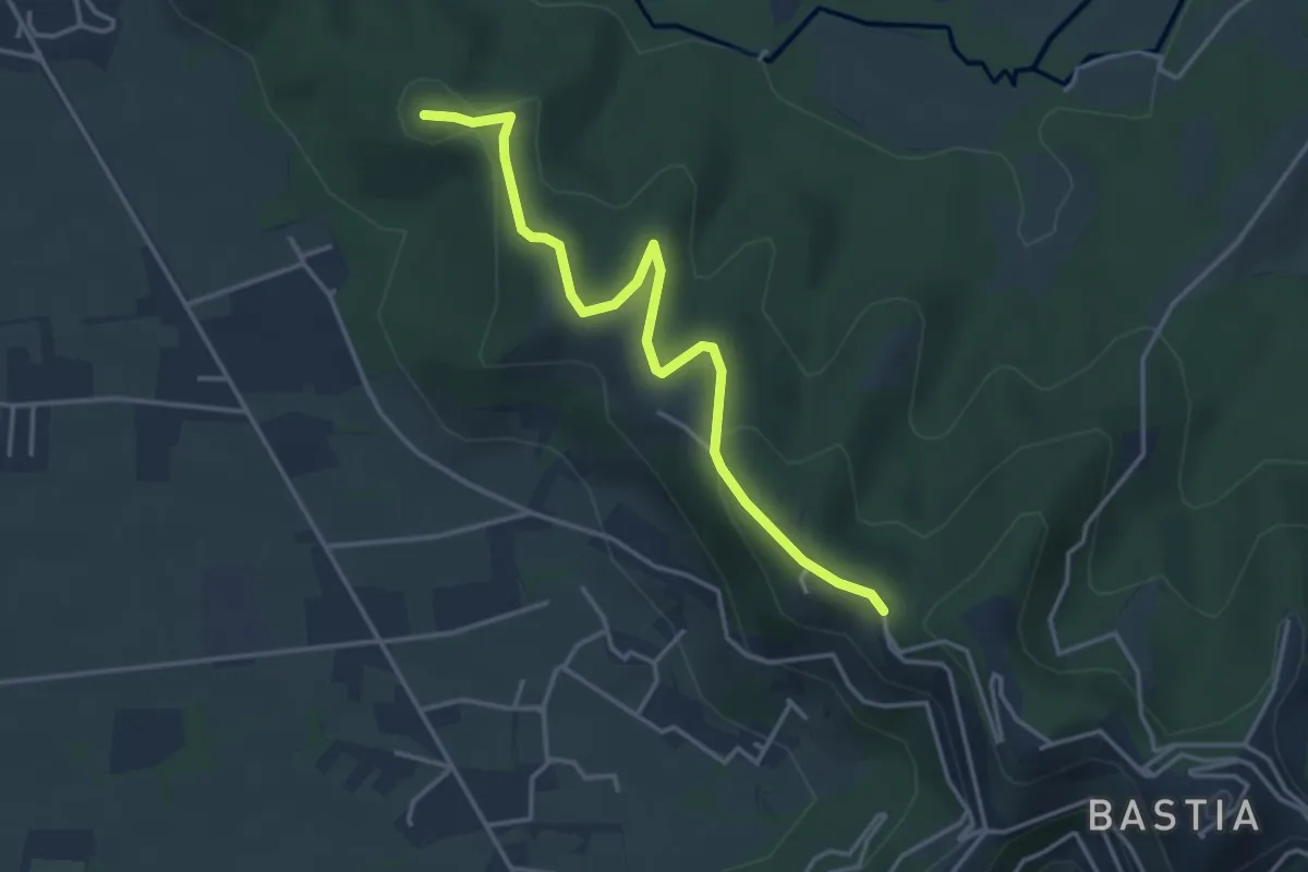
Via Castagneta – Colle dei Roccoli
3.5 km · ↑ 145 m · 1 h 9 min · 14 km away
Easy · Summit
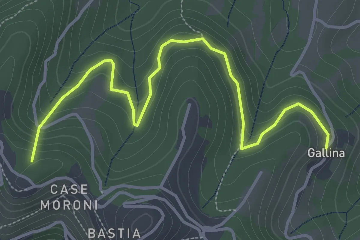
Santuario di Sombreno (Paladina) – Colle dei Roccoli (Bergamo)
4.0 km · ↑ 110 m · 1 h 11 min · 14 km away
Easy · Summit
Sentiero dei Vasi
3.8 km · ↑ 252 m · 1 h 27 min · 14 km away
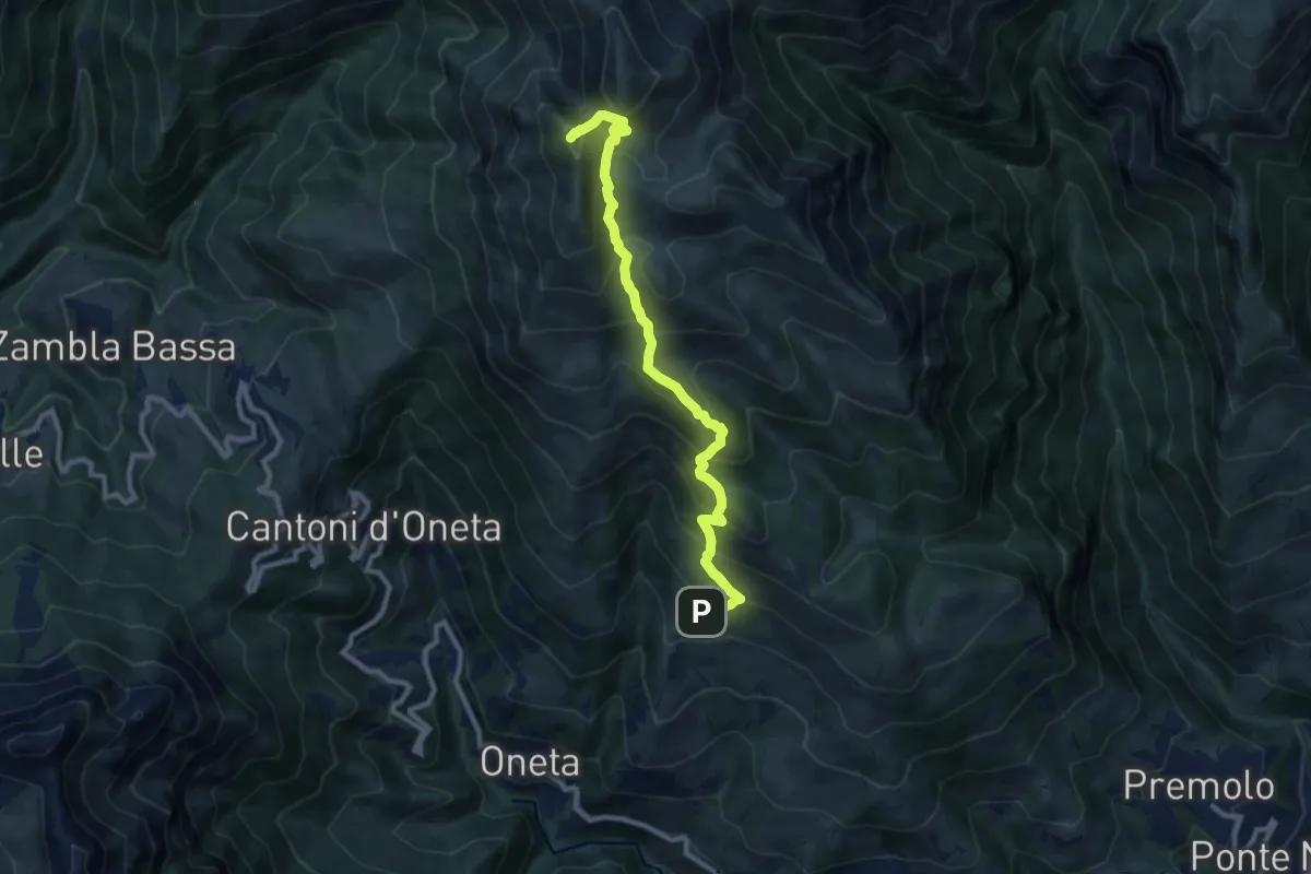
Demanding · Summit
Alpe Grina (Gorno) – Cima di Grem
9.5 km · ↑ 899 m · 4 h 11 min · 14 km away
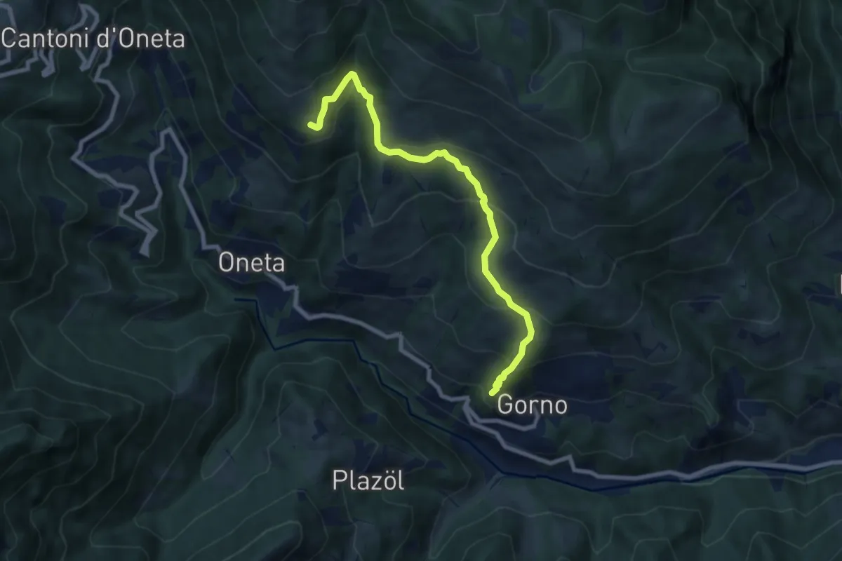
Medium · Trail
Gorno – Rifugio Baita Grem
7.2 km · ↑ 465 m · 2 h 43 min · 14 km away
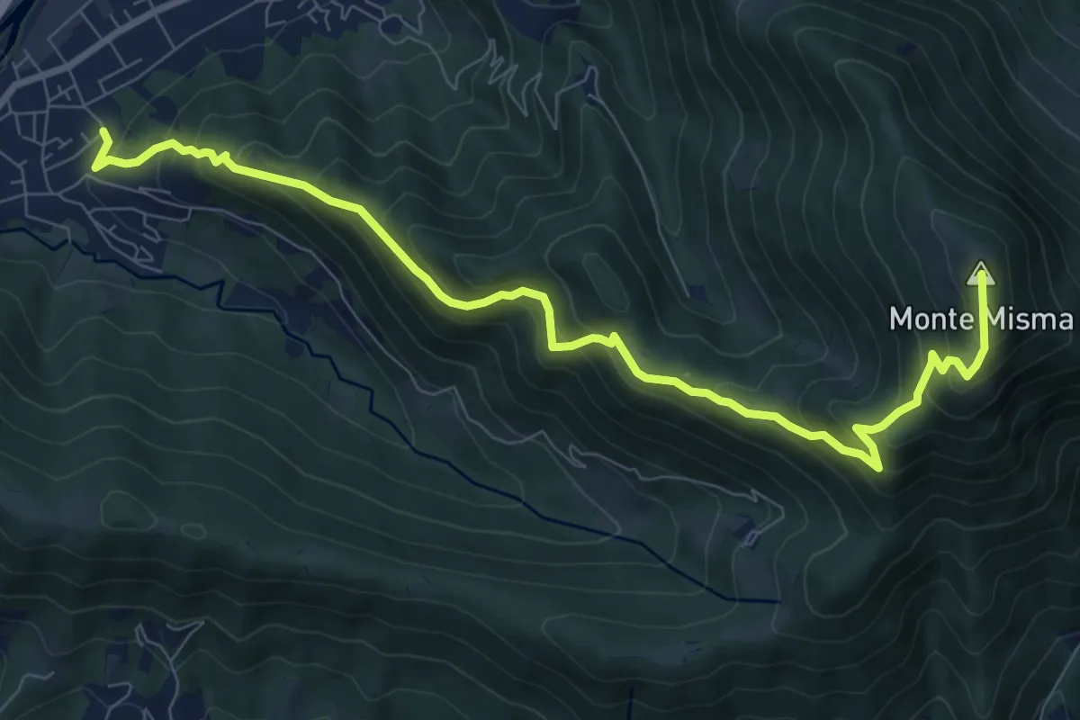
Demanding · Summit
Cornale – Monte Misma
9.9 km · ↑ 853 m · 4 h 11 min · 14 km away
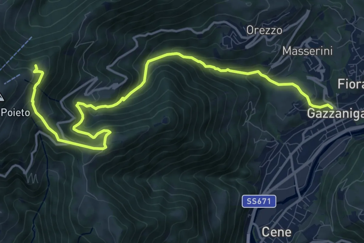
Demanding · Trail
Gazzaniga – Ca de Spi'
13.2 km · ↑ 890 m · 5 h 3 min · 14 km away
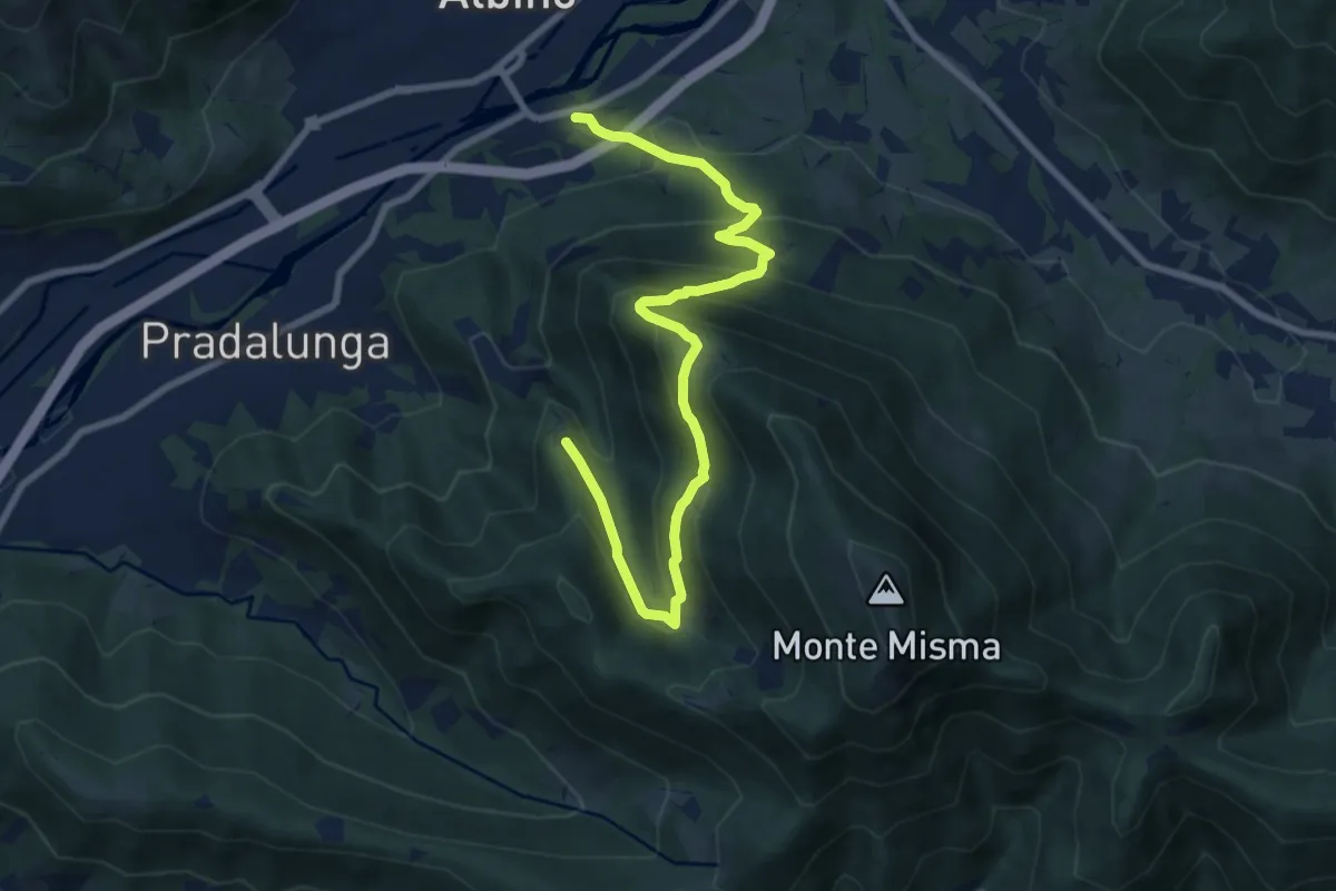
Medium · Trail
Albino – Forcella di Pradalunga
9.4 km · ↑ 747 m · 3 h 51 min · 14 km away
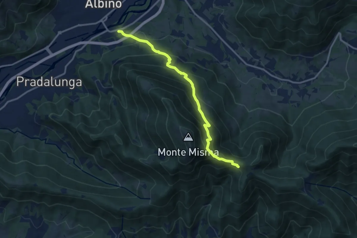
Medium · Cabin
Albino – S. Maria del Misma
8.8 km · ↑ 773 m · 3 h 45 min · 14 km away
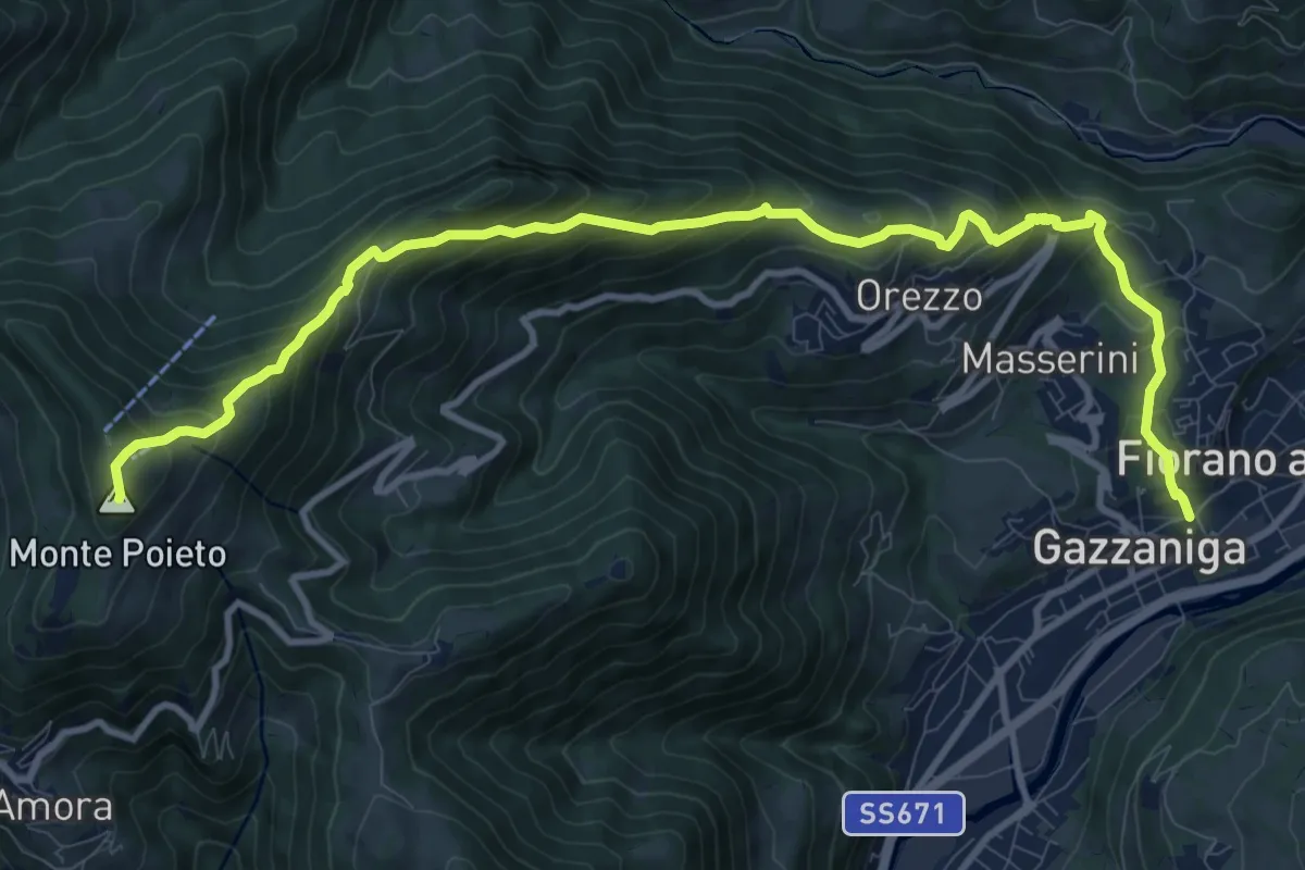
Demanding · Summit
Gazzaniga – Monte Poieto
12.6 km · ↑ 948 m · 5 h 2 min · 14 km away
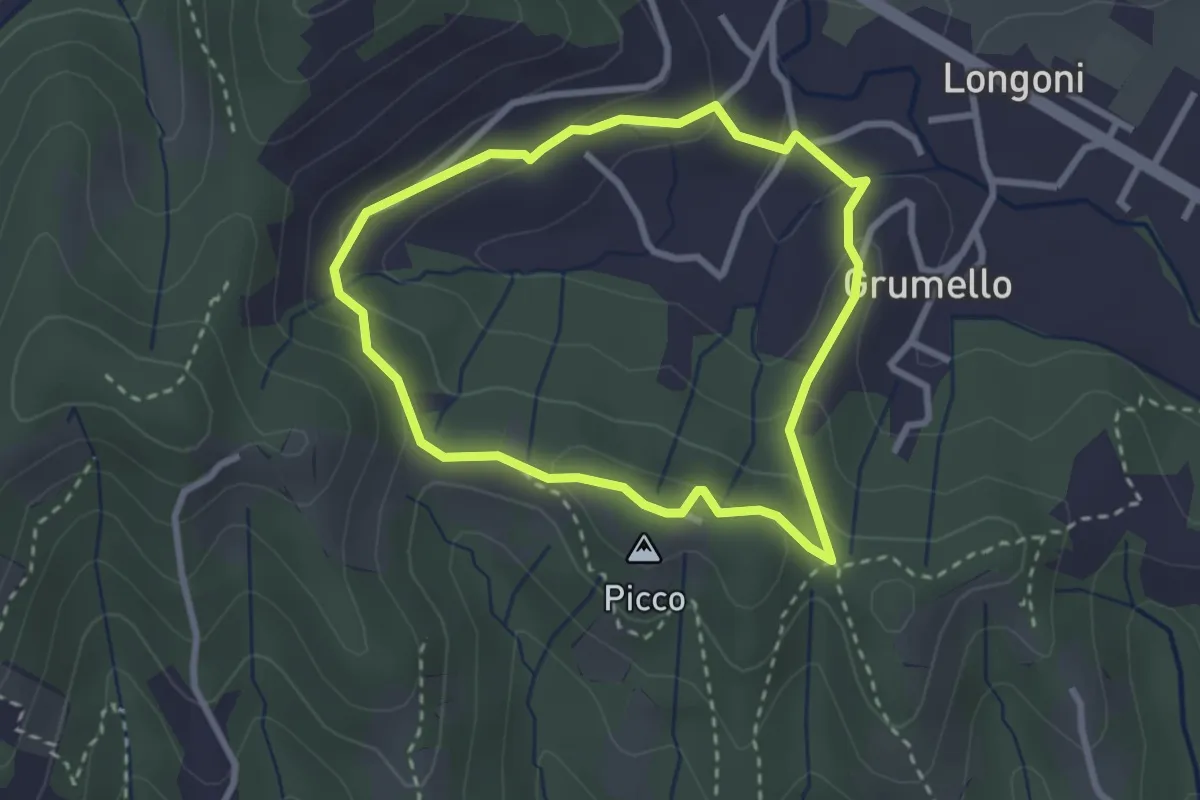
Easy · Summit
I dintorni di Brocchione
2.5 km · ↑ 93 m · 50 min · 14 km away
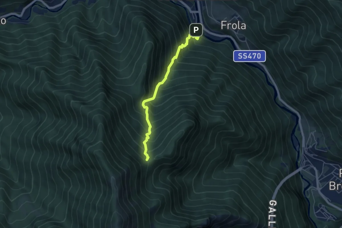
Medium · Summit
Cugno di Sotto (Olmo al Brembo) – Baita Maffenoli
4.8 km · ↑ 749 m · 2 h 45 min · 14 km away
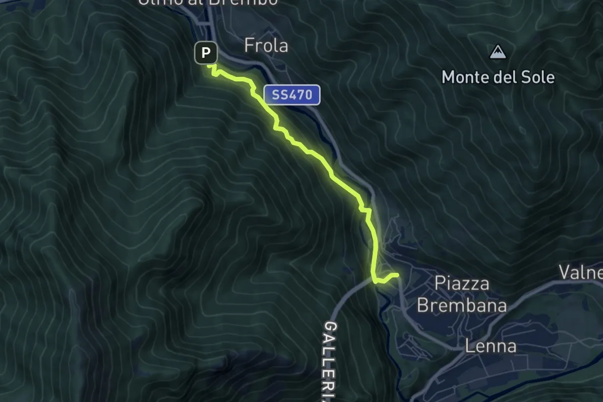
Medium · Trail
Piazza Brembana (I Fondi) – Olmo al Brembo (Cugno)
5.9 km · ↑ 382 m · 2 h 14 min · 14 km away
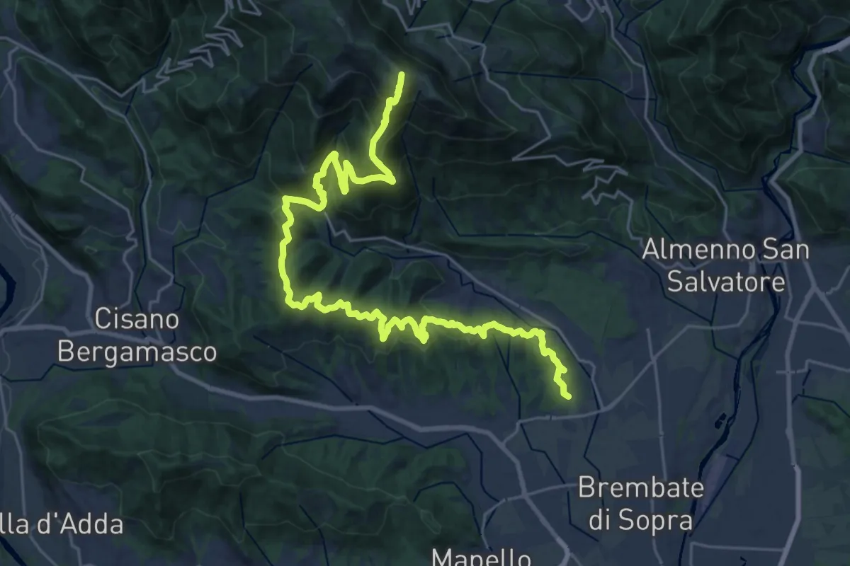
Demanding · Summit
Sentiero del Crinale
30.4 km · ↑ 1770 m · 11 h · 14 km away
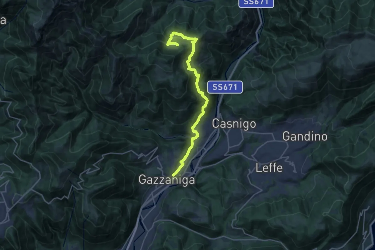
Demanding · Trail
Sentiero di Honio
17.7 km · ↑ 940 m · 6 h 13 min · 14 km away
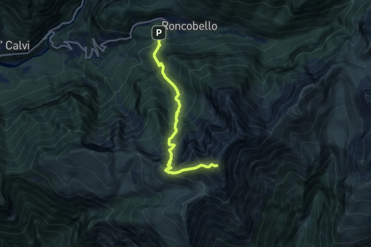
Expert · Summit
Costa (Roncobello) – Cima di Menna
9.9 km · ↑ 1238 m · 5 h 1 min · 14 km away
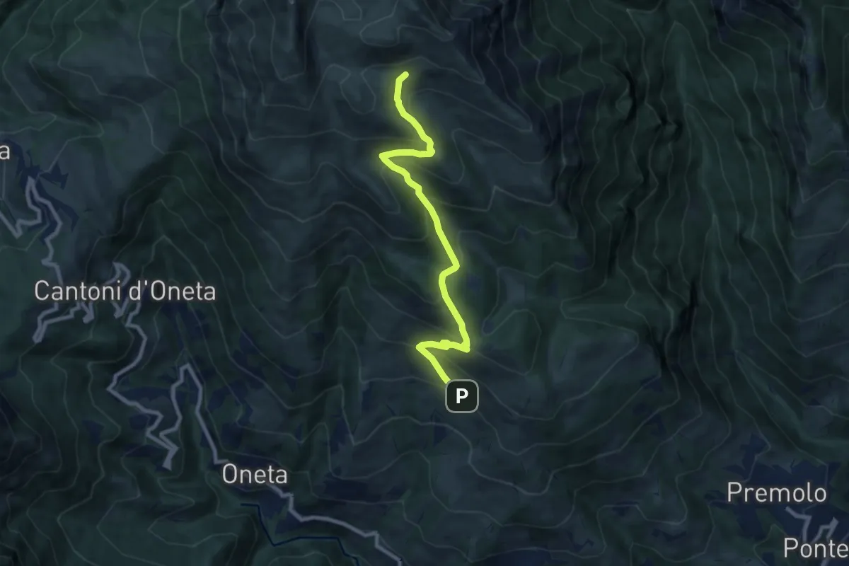
Medium · Cabin
Alpe Grina (Gorno) – Rifugio Baita Golla
8.4 km · ↑ 656 m · 3 h 24 min · 14 km away
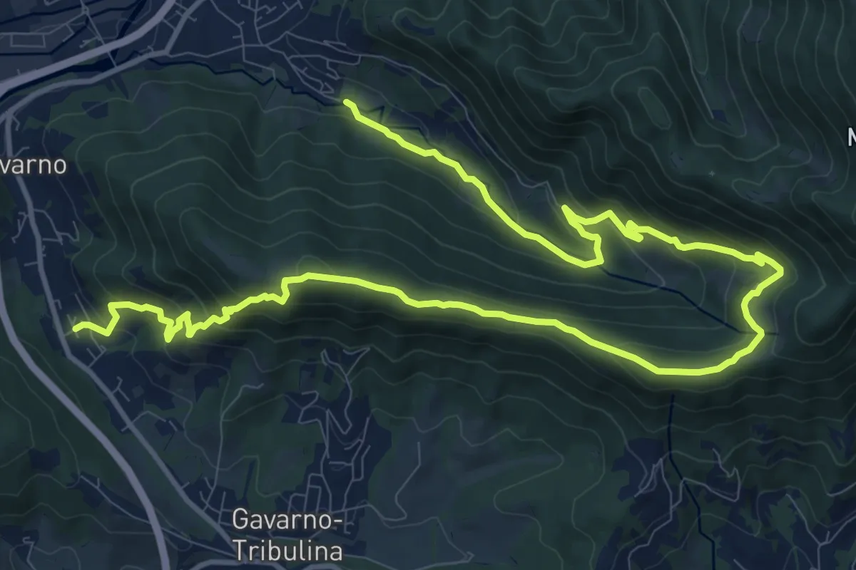
Demanding · Trail
Cornale (Pradalunga) – Gavarno
17.1 km · ↑ 933 m · 6 h 4 min · 14 km away
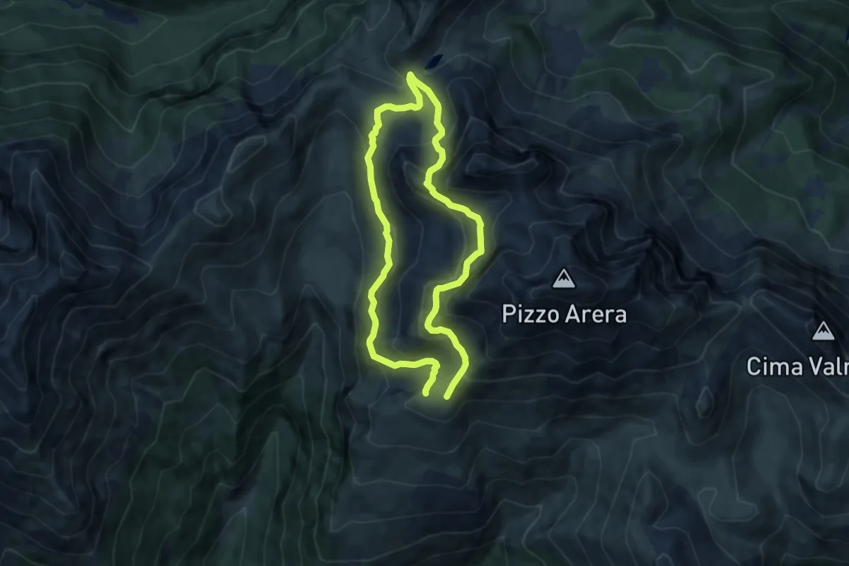
Medium · Cabin
Sentiero dei Fiori
6.8 km · ↑ 505 m · 2 h 47 min · 14 km away
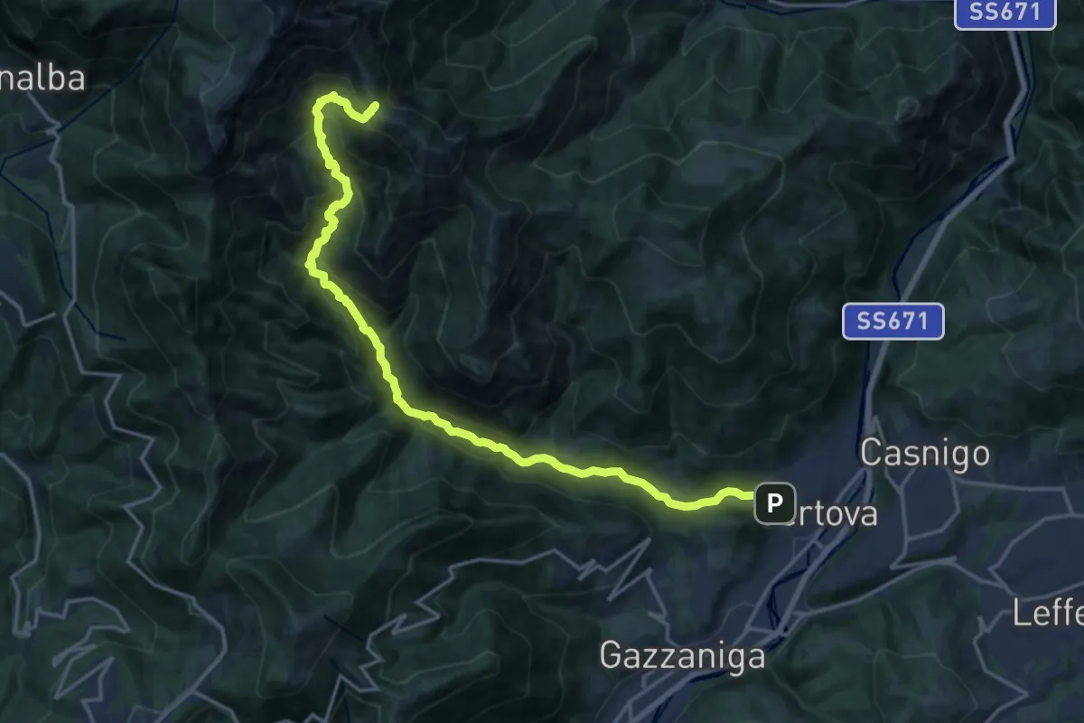
Demanding · Cabin
Vertova – Bivacco Testa
19.1 km · ↑ 1189 m · 7 h 5 min · 15 km away
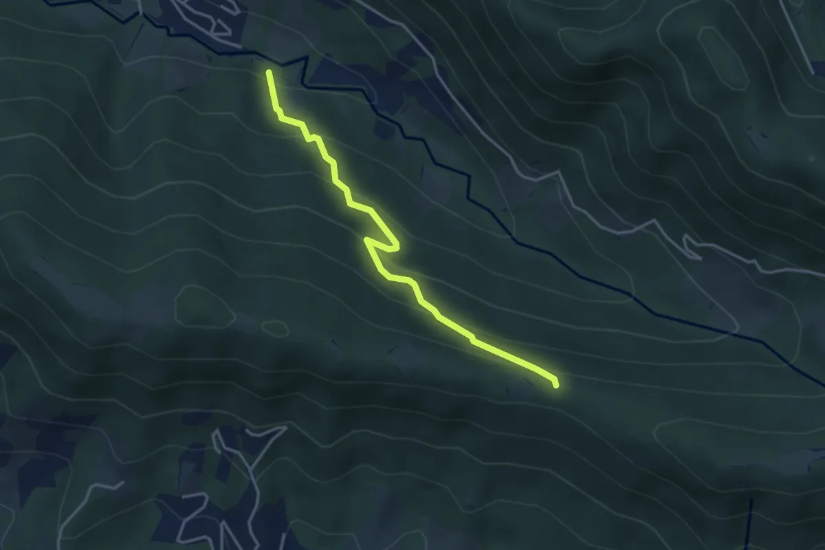
Easy · Trail
Cornale (Pradalunga) – Roccolo delle Pozzette (incrocio 539A)
3.6 km · ↑ 276 m · 1 h 26 min · 15 km away
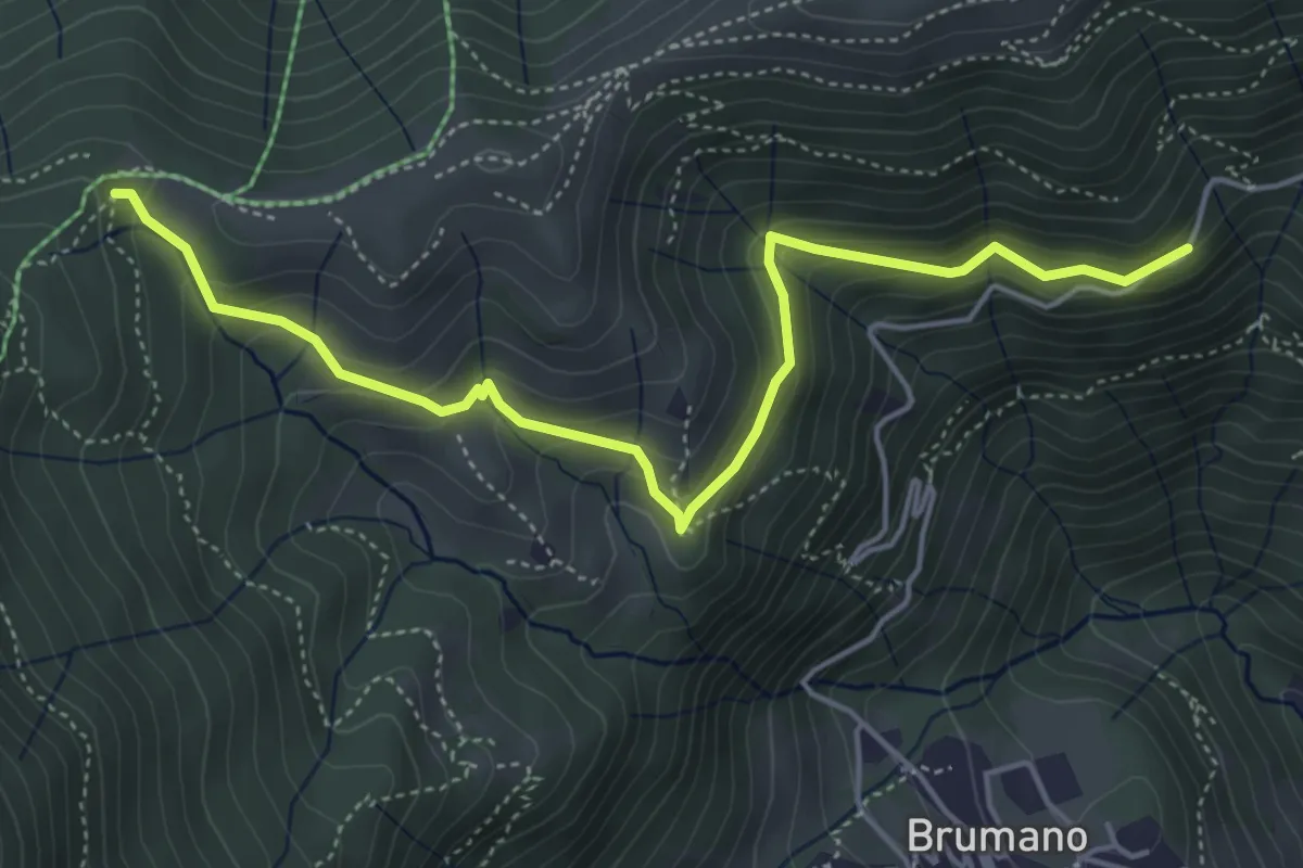
Medium · Trail
Strada Brumano/Fuipiano – Bocca di Palio
5.3 km · ↑ 363 m · 2 h 2 min · 15 km away
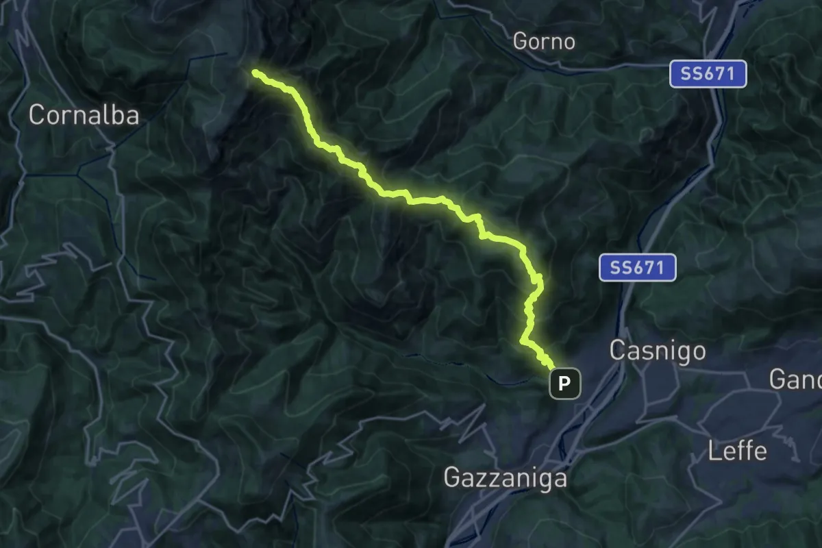
Demanding · Summit
Vertova – Cima Campelli
20.8 km · ↑ 1808 m · 8 h 50 min · 15 km away