Trails near San Pellegrino Terme
314 hikes starting within 15 km, nearest first.
Nearest first, page 7 of 7
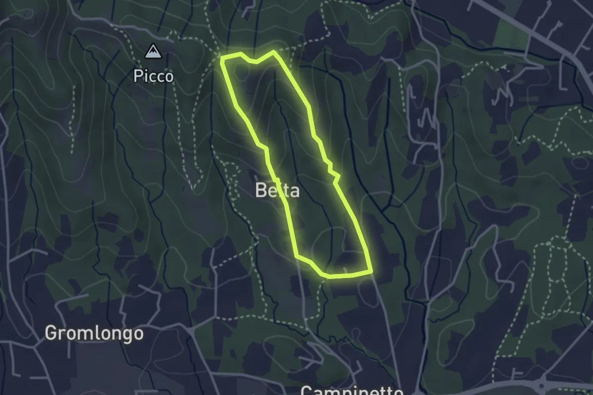
Easy · Summit
Beita - La Vena - Secchia
2.5 km · ↑ 116 m · 53 min · 15 km away
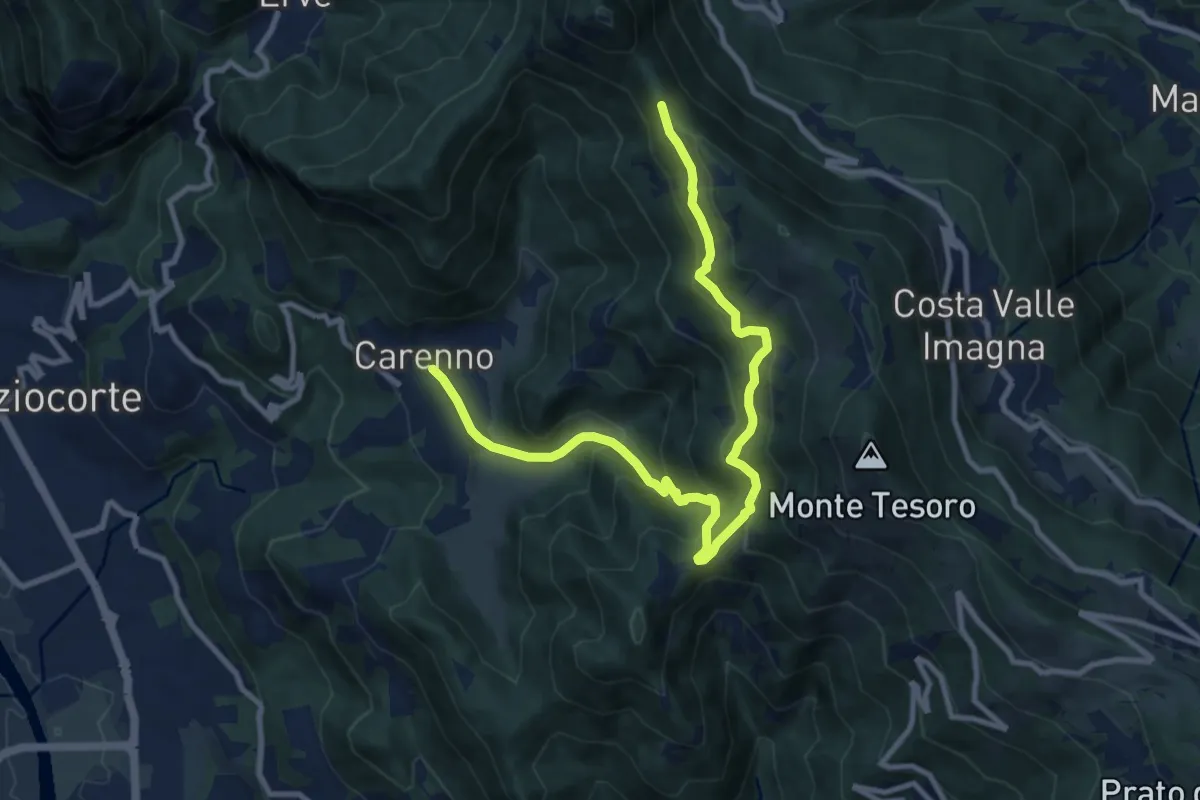
Medium · Trail
Carenno – Pertüs
11.3 km · ↑ 683 m · 4 h 9 min · 15 km away
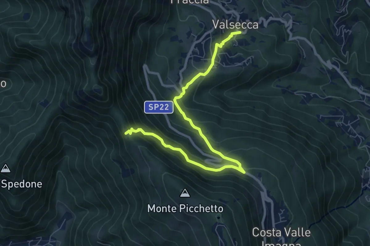
Medium · Trail
Valsecca – Pertüs
8.3 km · ↑ 616 m · 3 h 17 min · 15 km away
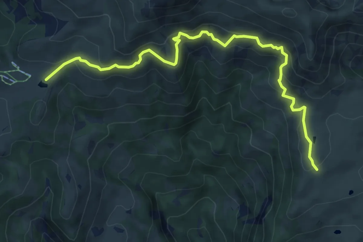
Medium · Cabin
Rifugio Angelo Gherardi – Piani d'Artavaggio
8.6 km · ↑ 584 m · 3 h 18 min · 15 km away
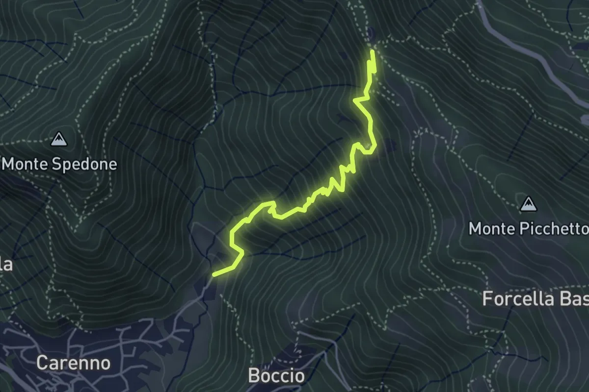
Medium · Trail
Carenno – Pertüs
4.2 km · ↑ 509 m · 2 h 6 min · 15 km away
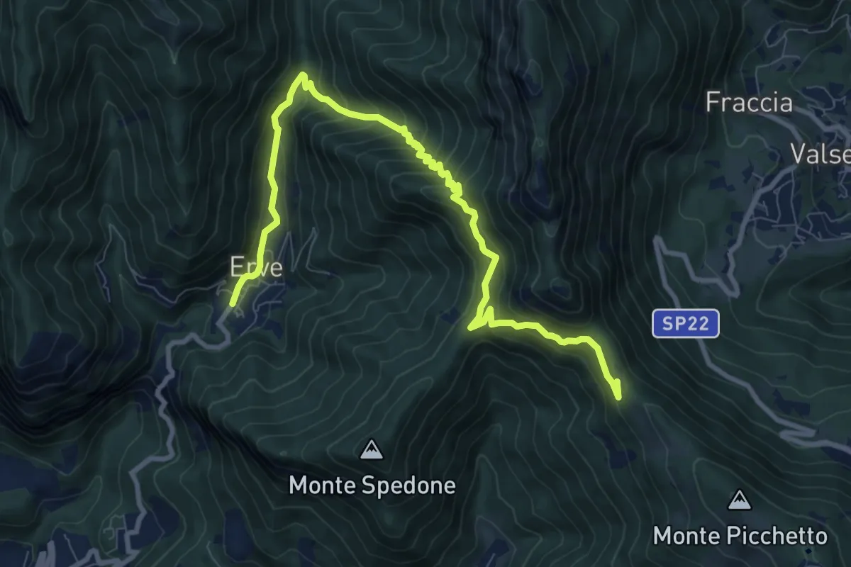
Demanding · Trail
Convento del Pertus – Erve, Piazza del Municipio
10.4 km · ↑ 869 m · 4 h 20 min · 15 km away
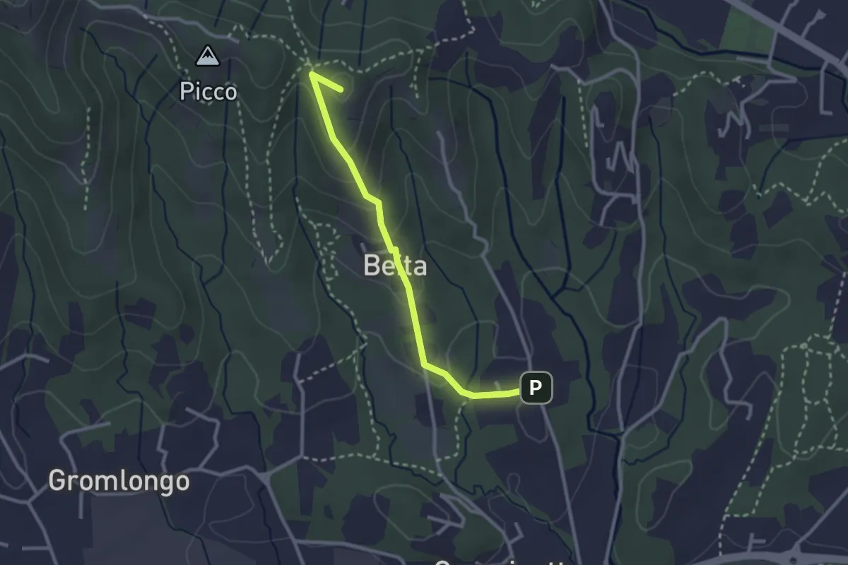
Easy · Summit
Brocchione – Secchia
2.6 km · ↑ 121 m · 53 min · 15 km away
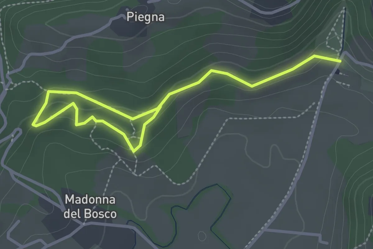
Easy · Trail
Bosco dell'Allegrezza
3.6 km · ↑ 103 m · 1 h 4 min · 15 km away
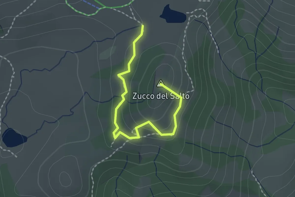
Easy · Summit
Sentiero della Marmotta
1.9 km · ↑ 88 m · 39 min · 15 km away
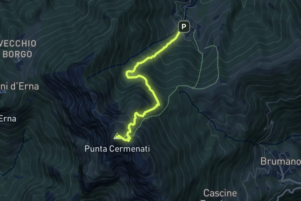
Medium · Summit
Morterone – Monte Resegone
6.5 km · ↑ 759 m · 3 h 11 min · 15 km away
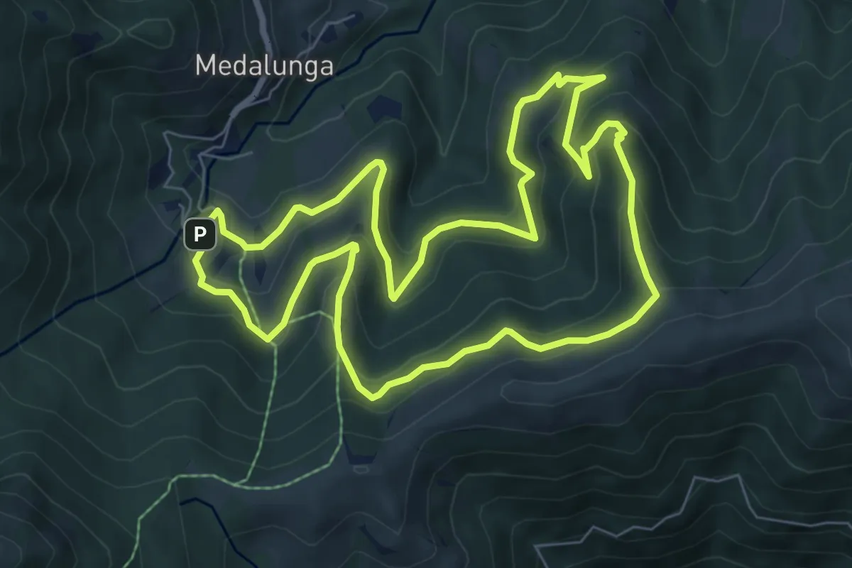
Medium · Trail
Sentiero dei Grandi Alberi - Anello
7.4 km · ↑ 485 m · 2 h 54 min · 15 km away
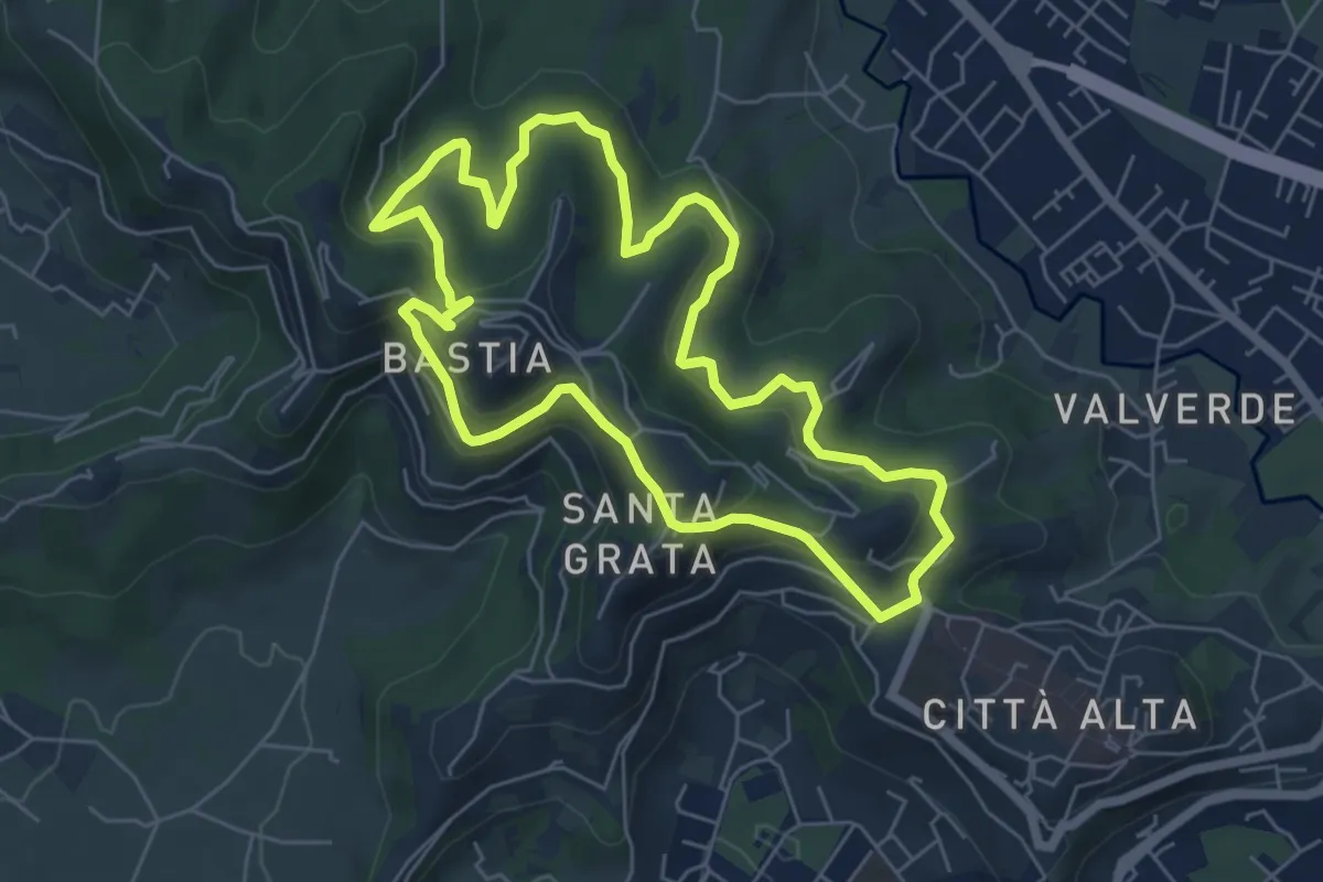
Easy · Summit
Le Vie del Verde (Itinerario 2)
6.0 km · ↑ 282 m · 2 h 6 min · 15 km away
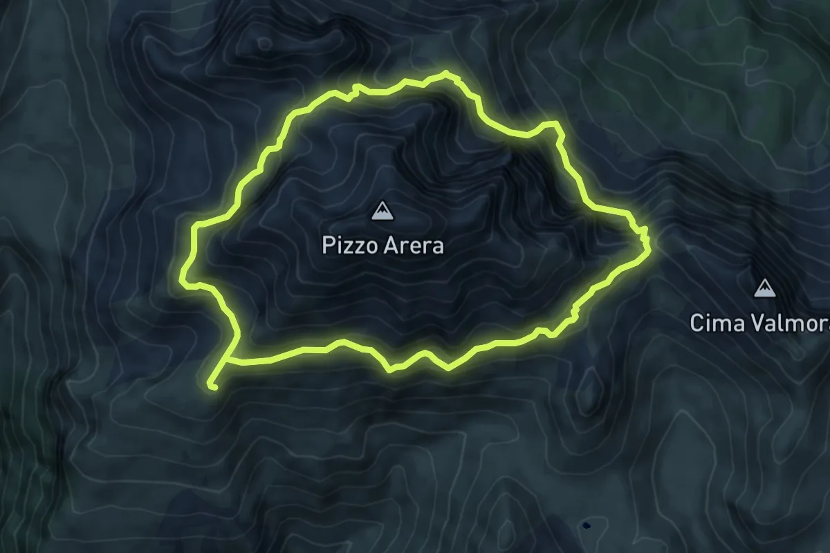
Expert · Cabin
Periplo del Pizzo Arera
7.3 km · ↑ 746 m · 3 h 27 min · 15 km away
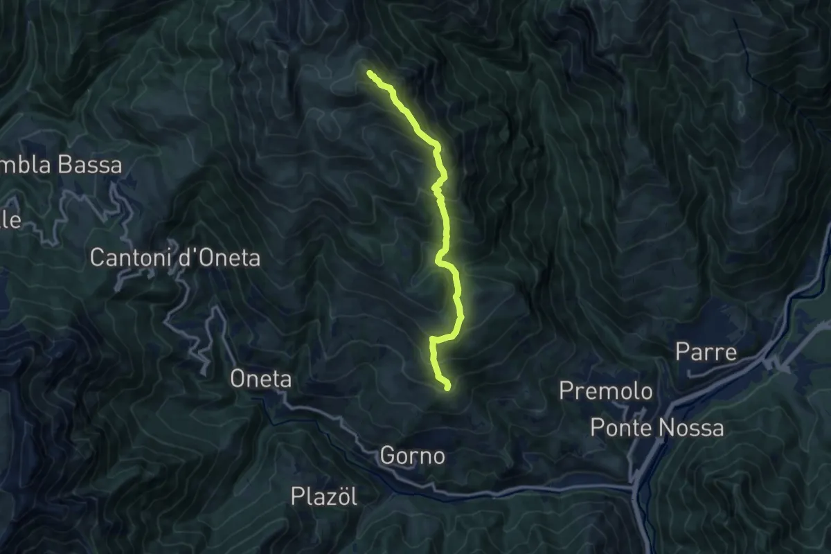
Demanding · Summit
Premolo – Rifugio Baita Golla
10.2 km · ↑ 978 m · 4 h 31 min · 15 km away
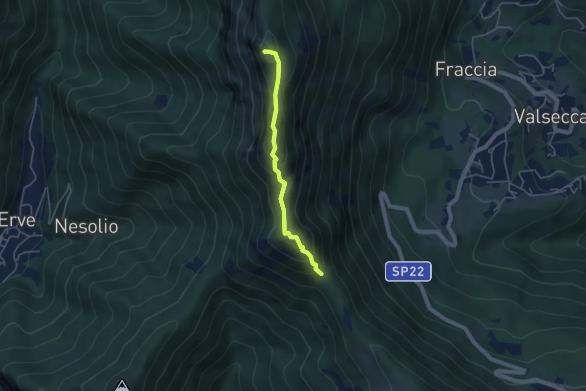
Demanding · Summit
Passo del Pertüs – La Passata
3.3 km · ↑ 339 m · 1 h 30 min · 15 km away
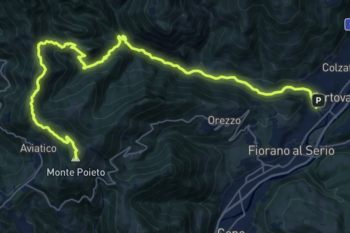
Demanding · Summit
Alta Via delle Grazie - Tappa 2
25.0 km · ↑ 1415 m · 8 h 59 min · 15 km away
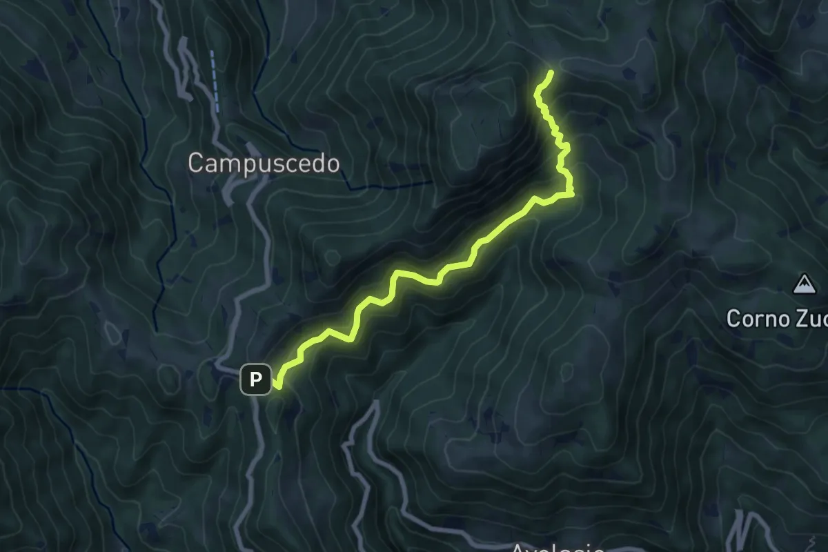
Medium · Trail
Innesto 730 – Area di sosta Maesimo
7.2 km · ↑ 661 m · 3 h 9 min · 15 km away
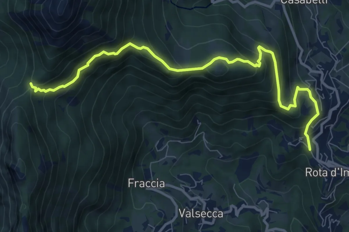
Medium · Trail
Rota d'Imagna – La Passata
9.3 km · ↑ 699 m · 3 h 43 min · 15 km away
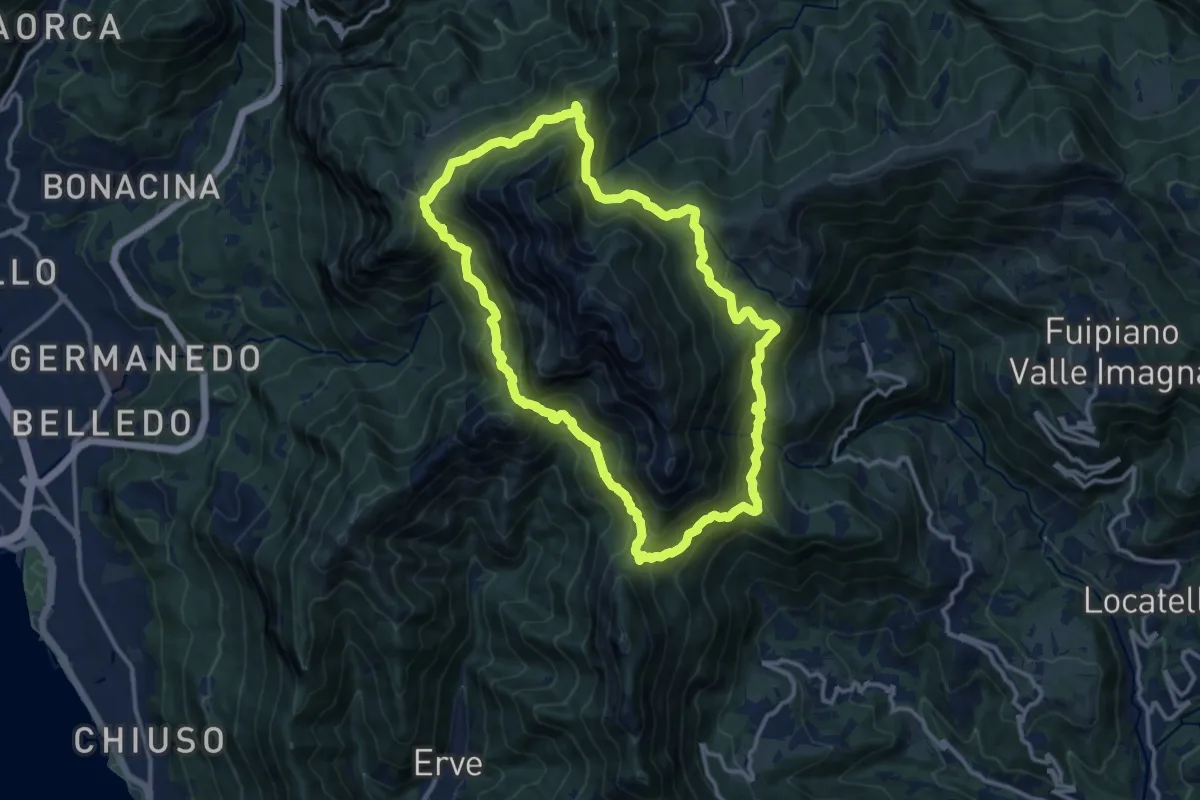
Demanding · Summit
Anello del Resegone
12.8 km · ↑ 1001 m · 5 h 21 min · 15 km away
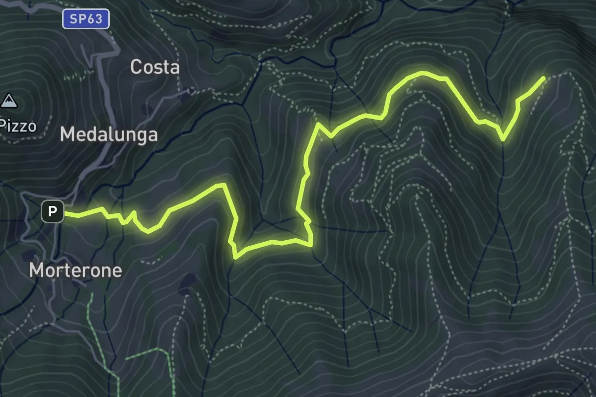
Medium · Trail
Morterone – Selvano
7.0 km · ↑ 331 m · 2 h 23 min · 15 km away
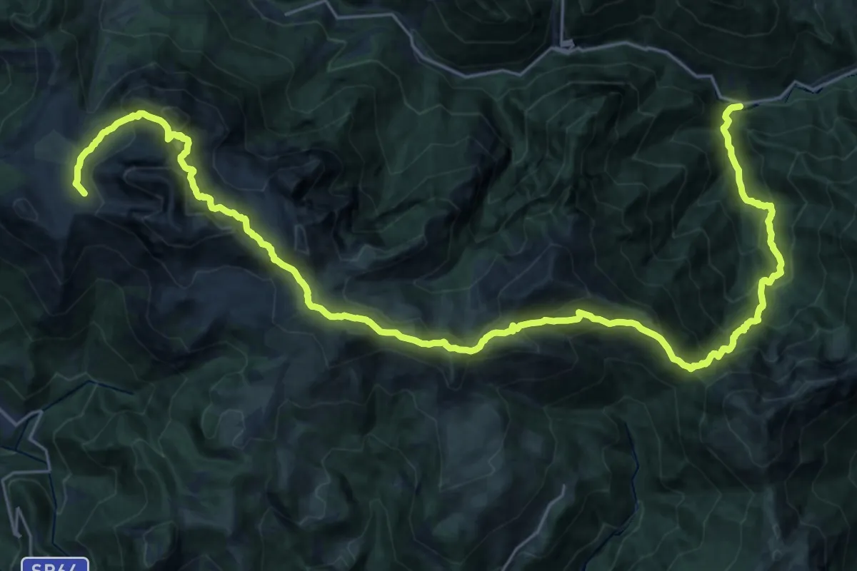
Demanding · Cabin
Sentiero delle Orobie Occidentali - Tappa 1
16.4 km · ↑ 1672 m · 7 h 9 min · 15 km away
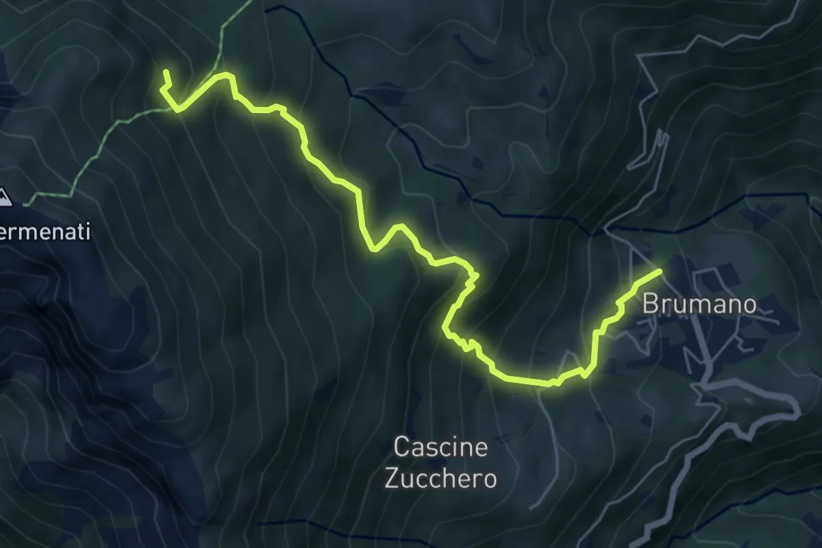
Medium · Trail
Brumano – Colletto di Brumano (incrocio 571)
6.4 km · ↑ 625 m · 2 h 52 min · 15 km away
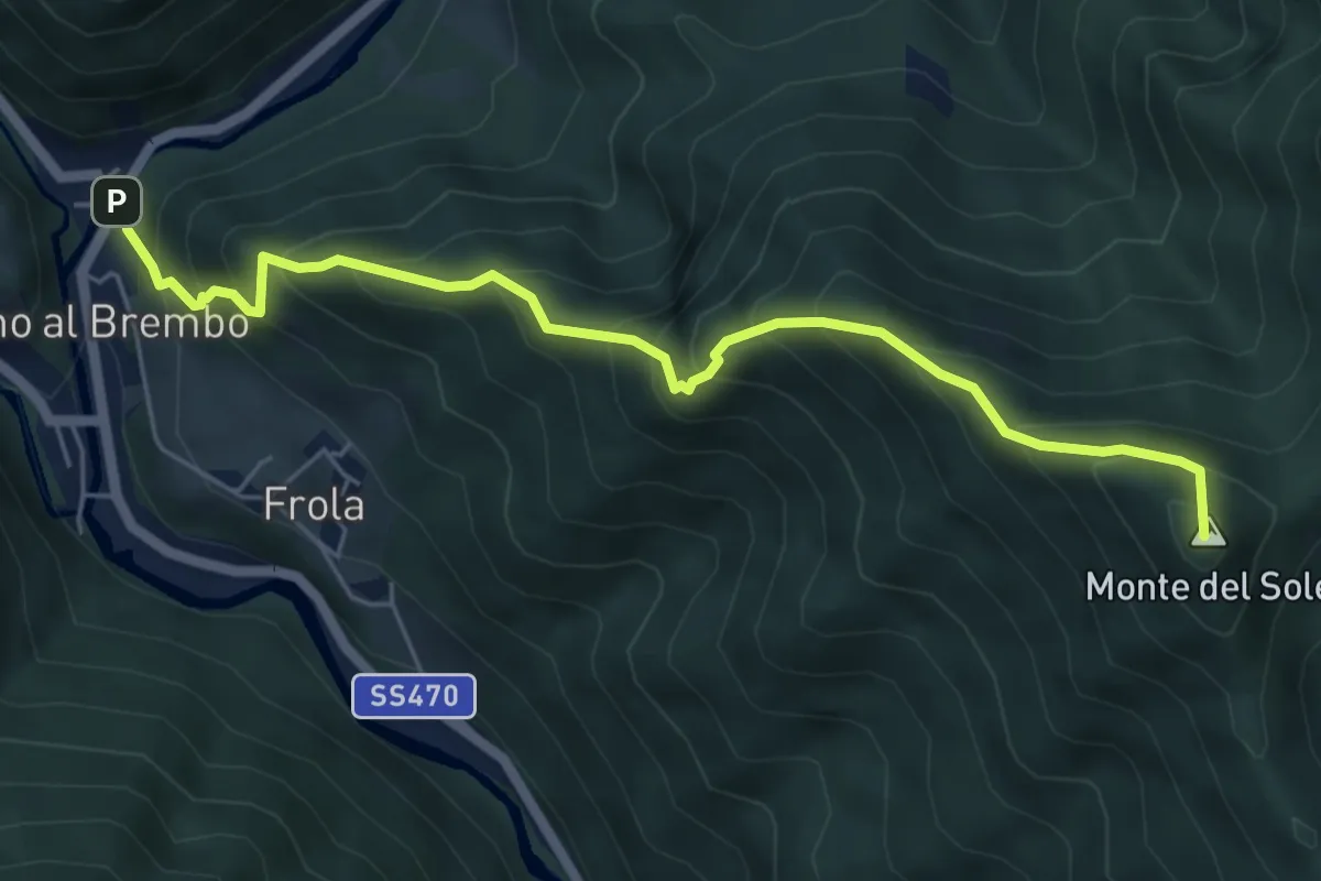
Medium · Summit
Olmo al Brembo – Roccolo di Calche
6.1 km · ↑ 727 m · 3 h 1 min · 15 km away
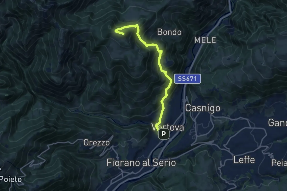
Demanding · Summit
Il Sentiero di San Patrizio
12.0 km · ↑ 934 m · 4 h 51 min · 15 km away
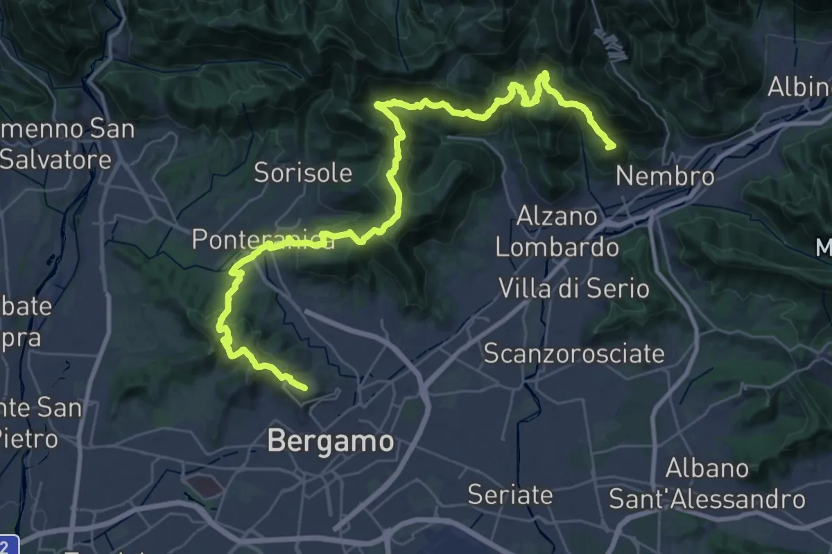
Demanding · Summit
La Via delle Sorelle - Tappa 6 Traversa
19.8 km · ↑ 1016 m · 7 h 3 min · 15 km away
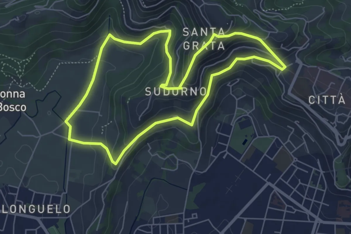
Easy · Trail
Le Vie del Verde (Itinerario 1)
5.3 km · ↑ 246 m · 1 h 52 min · 15 km away