Trails near Sant'Ambrogio di Valpolicella
65 hikes starting within 15 km, nearest first.
Nearest first, page 1 of 2
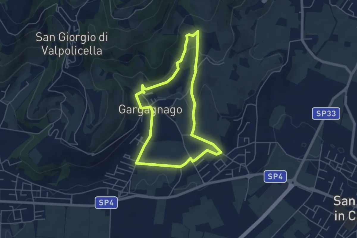
Easy · Trail
blue "G" marked trail
4.2 km · ↑ 130 m · 1 h 20 min · 2 km away
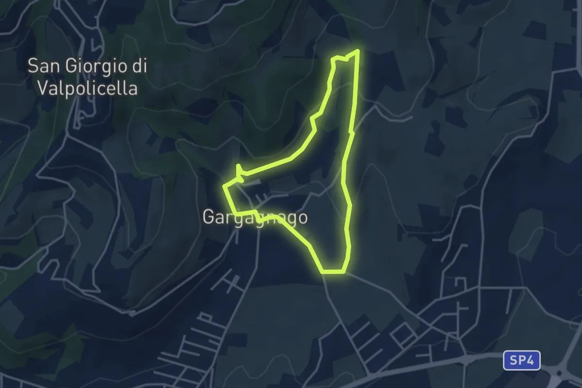
Easy · Trail
yellow "G" marked trail
2.9 km · ↑ 111 m · 59 min · 2 km away
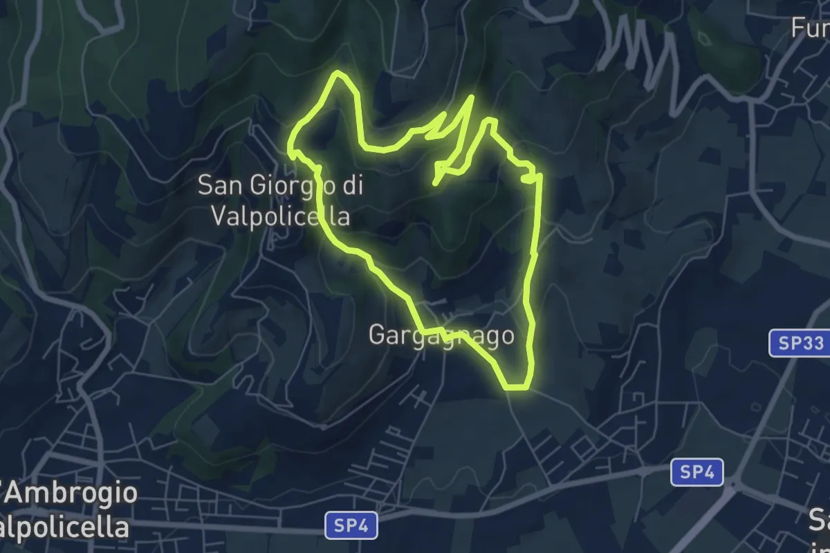
Easy · Trail
brown "G" marked trail
6.1 km · ↑ 290 m · 2 h 9 min · 2 km away
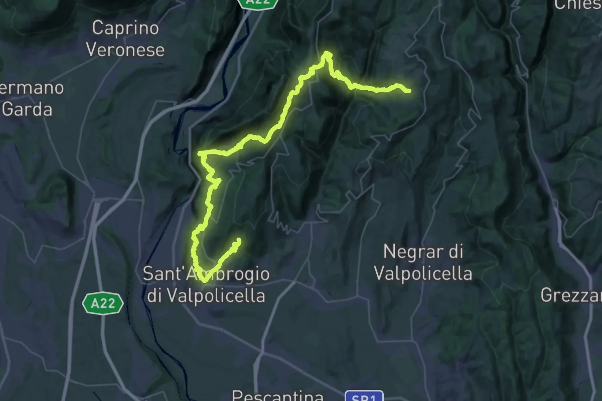
Expert · Trail
San Giorgio di Valpolicella – Mondrago
22.9 km · ↑ 1259 m · 8 h 20 min · 2 km away
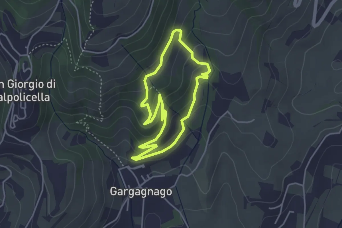
Easy · Trail
green "G" marked trail
3.1 km · ↑ 166 m · 1 h 9 min · 2 km away
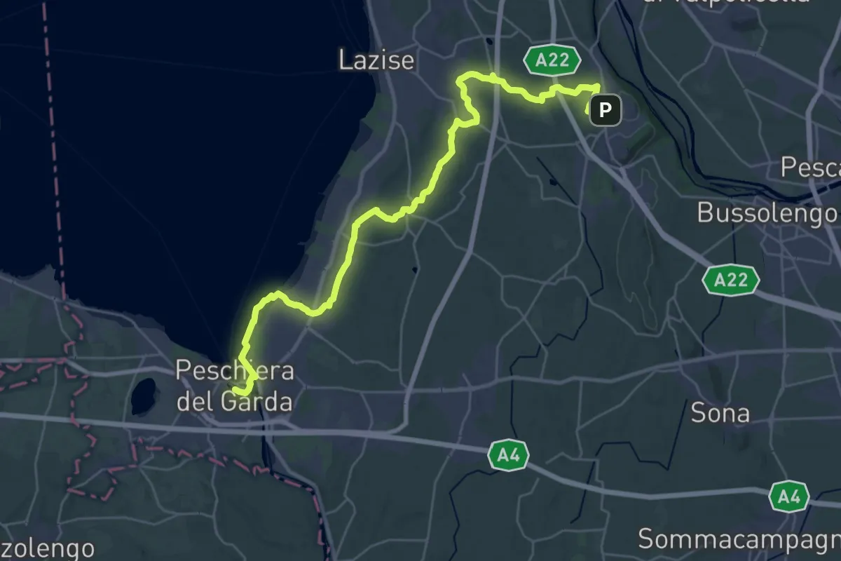
Medium · Trail
Pastrengo – Volta Mantovana
17.2 km · ↑ 105 m · 4 h 35 min · 4 km away
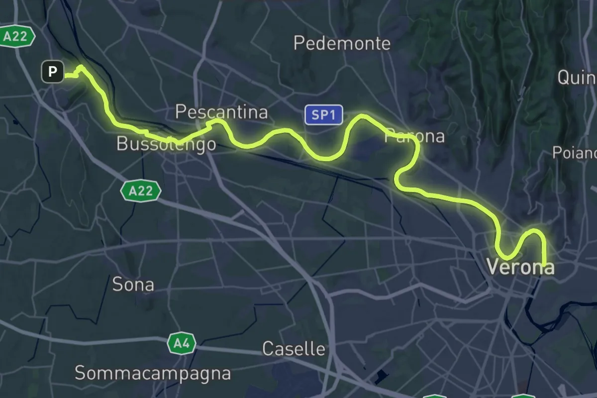
Demanding · Trail
Verona – Pastrengo
25.2 km · ↑ 50 m · 6 h 28 min · 4 km away
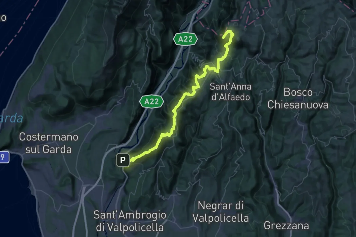
Demanding · Summit
Ceraino - Corno d'Aquilio
54.6 km · ↑ 2916 m · 19 h 13 min · 6 km away
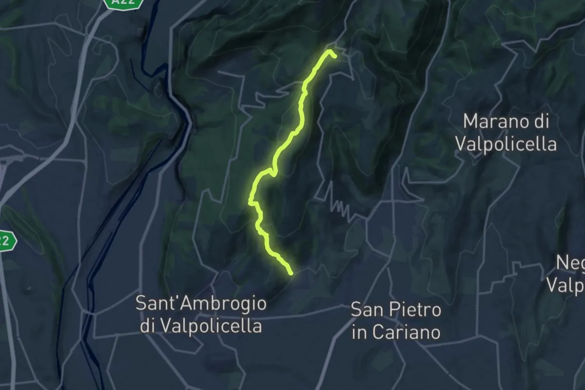
Medium · Trail
Gargagnago - Cavalo
12.4 km · ↑ 561 m · 4 h 9 min · 6 km away
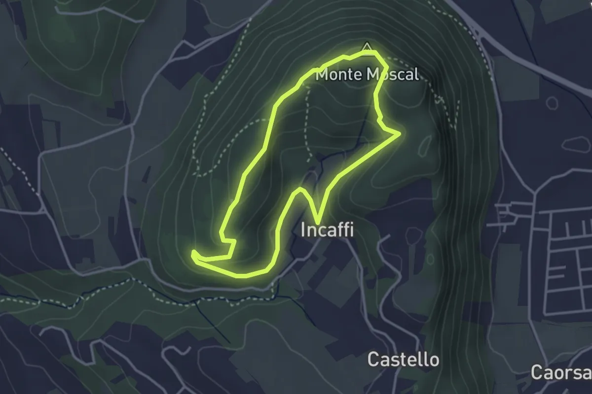
Medium · Summit
Incaffi - Monte Moscal
3.0 km · ↑ 120 m · 1 h 1 min · 7 km away
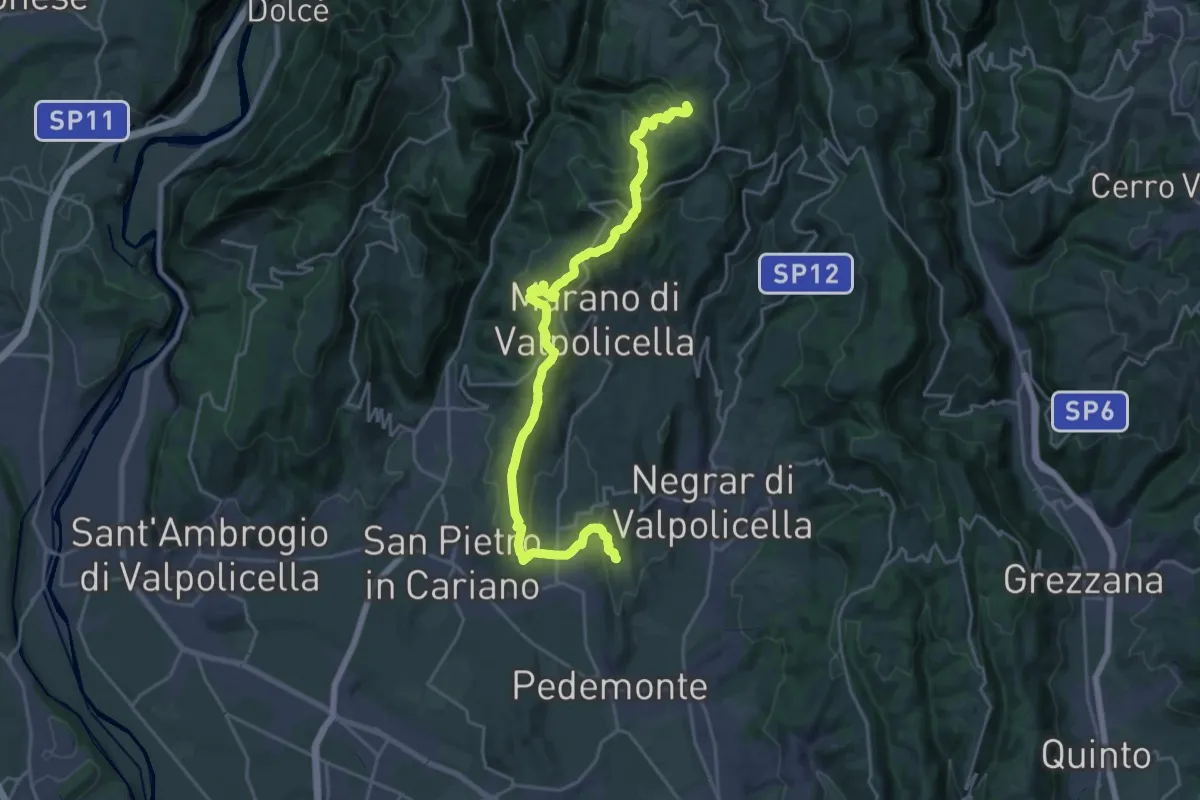
Demanding · Trail
Corte Bernardo – Mondrago
25.0 km · ↑ 952 m · 7 h 57 min · 7 km away
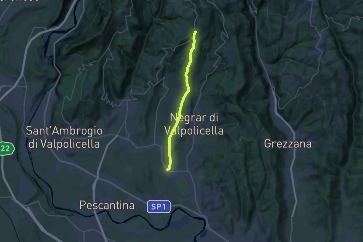
Demanding · Trail
Pedemonte - Santa Cristina
18.9 km · ↑ 669 m · 5 h 55 min · 7 km away
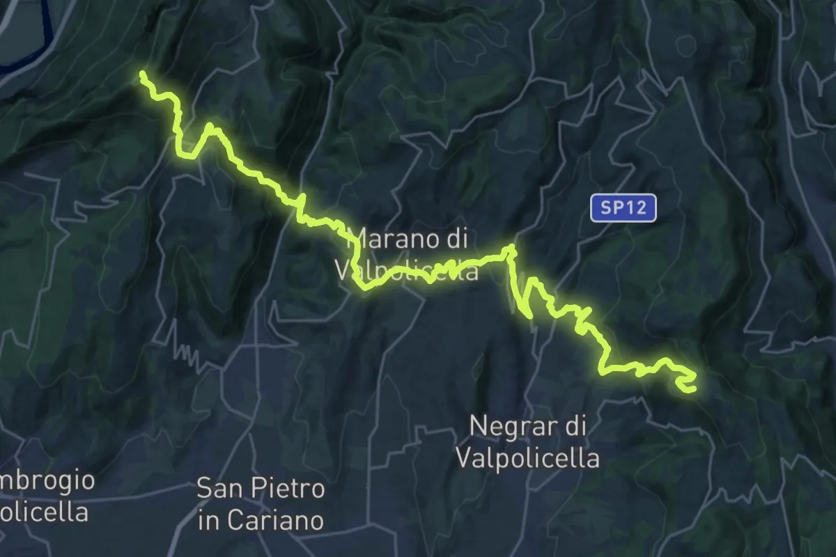
Demanding · Trail
Casa Antolini – sotto Monte Pastello - inn. sent. 240
18.0 km · ↑ 841 m · 6 h 31 min · 7 km away
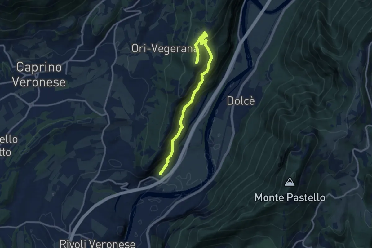
Medium · Summit
Canale-Monte Cordespino
9.4 km · ↑ 646 m · 3 h 36 min · 7 km away
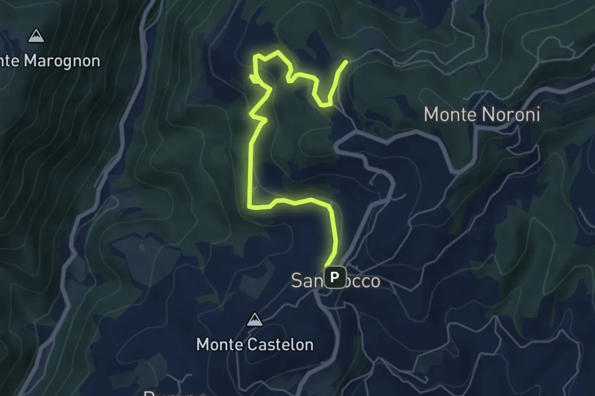
Easy · Trail
Sentiero Valgatara - Cà Nova di San Rocco di Marano di Valpolicella
6.2 km · ↑ 243 m · 1 h 59 min · 8 km away
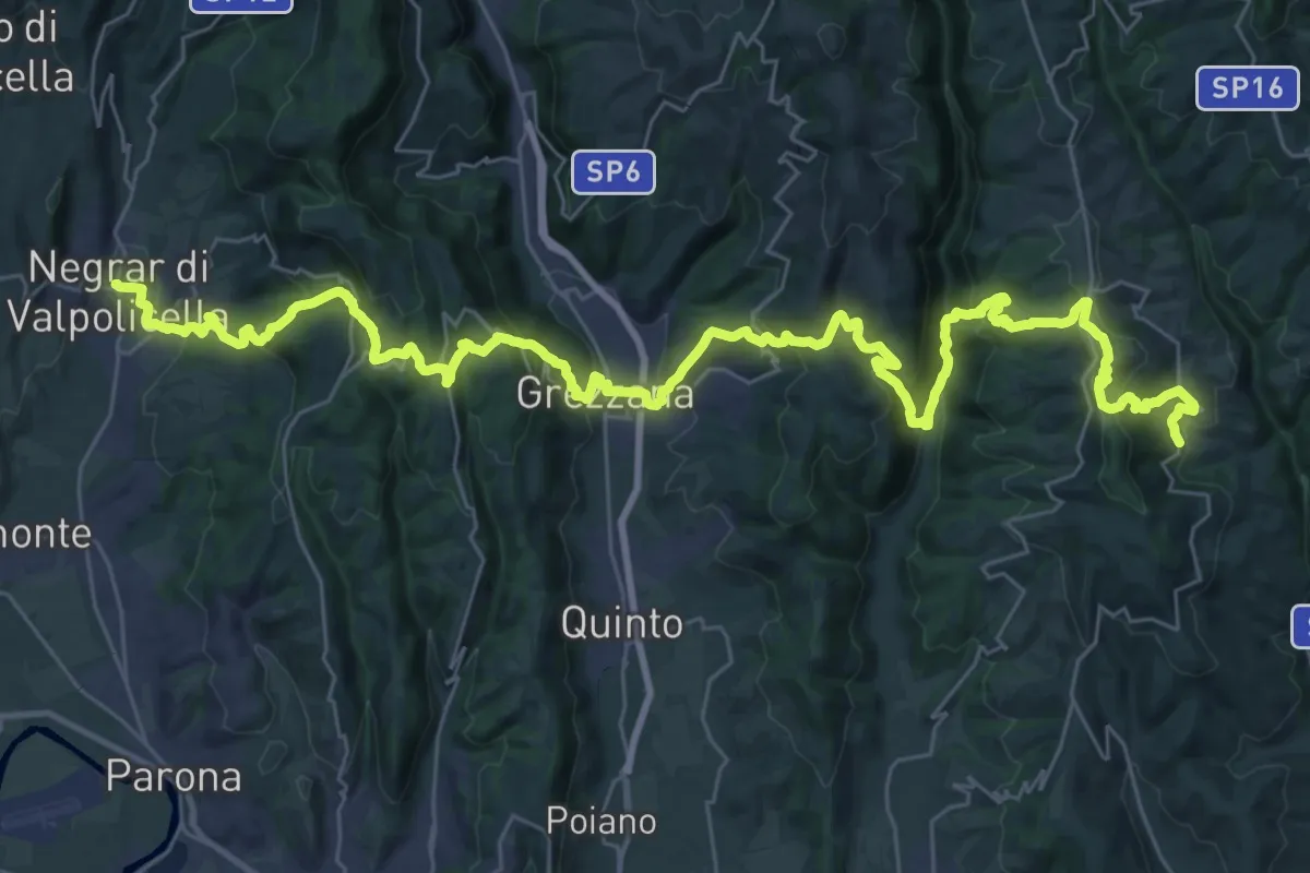
Demanding · Trail
Dorsale delle Cinque Valli
24.2 km · ↑ 1289 m · 8 h 44 min · 8 km away
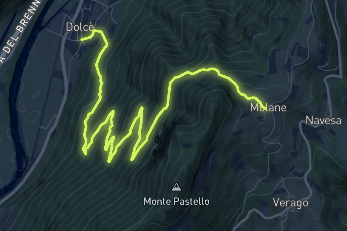
Expert · Trail
Dolcè - Molane
14.1 km · ↑ 903 m · 5 h 17 min · 9 km away
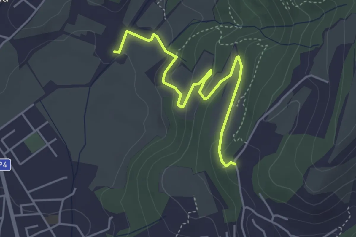
Medium · Trail
Via Ragose – Villa Novare
4.3 km · ↑ 150 m · 1 h 21 min · 9 km away
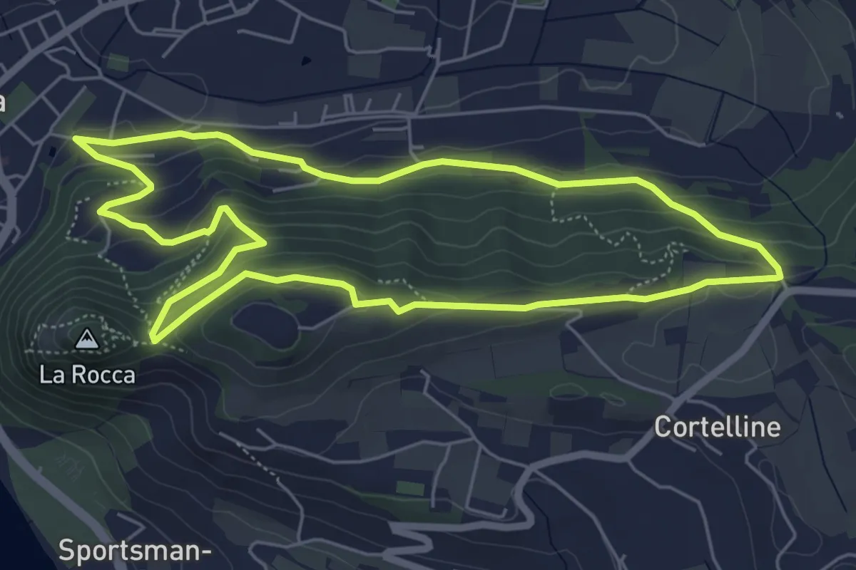
Medium · Trail
Garda - Dacia - Eremo dei Camaldolesi - Rocca Vecchia
5.8 km · ↑ 220 m · 1 h 55 min · 9 km away
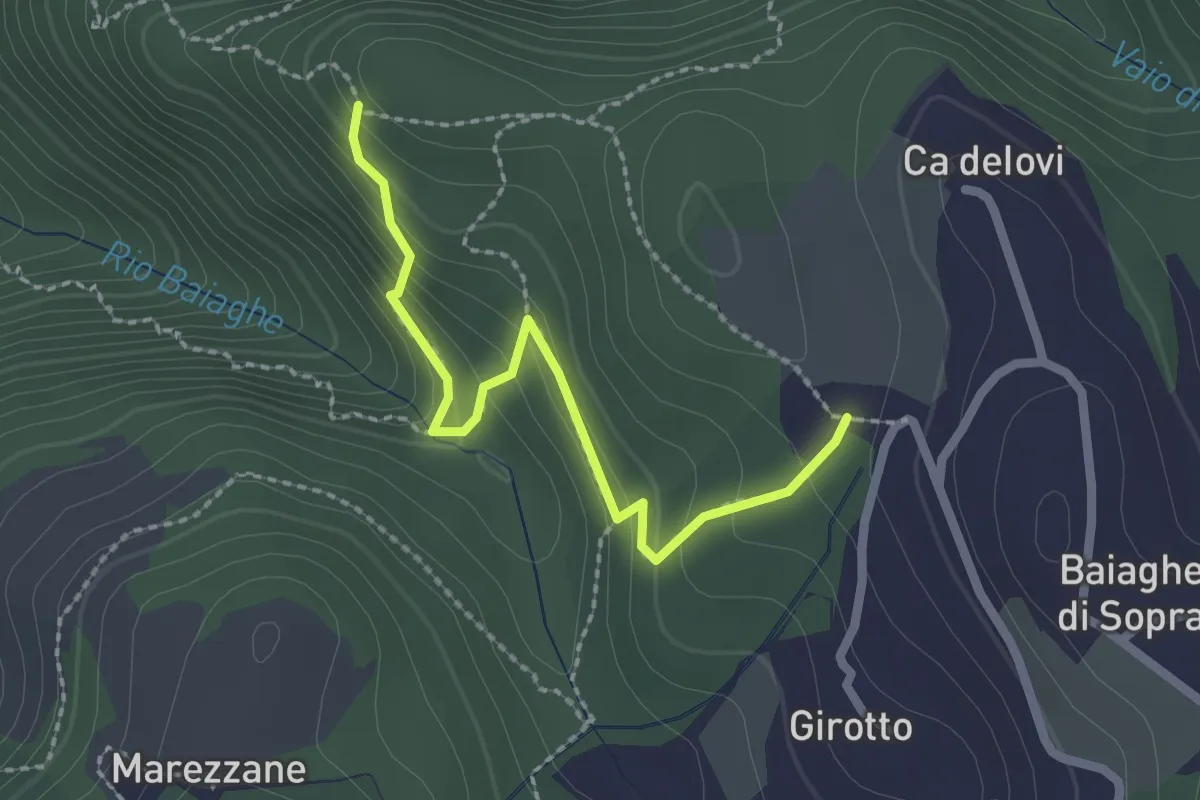
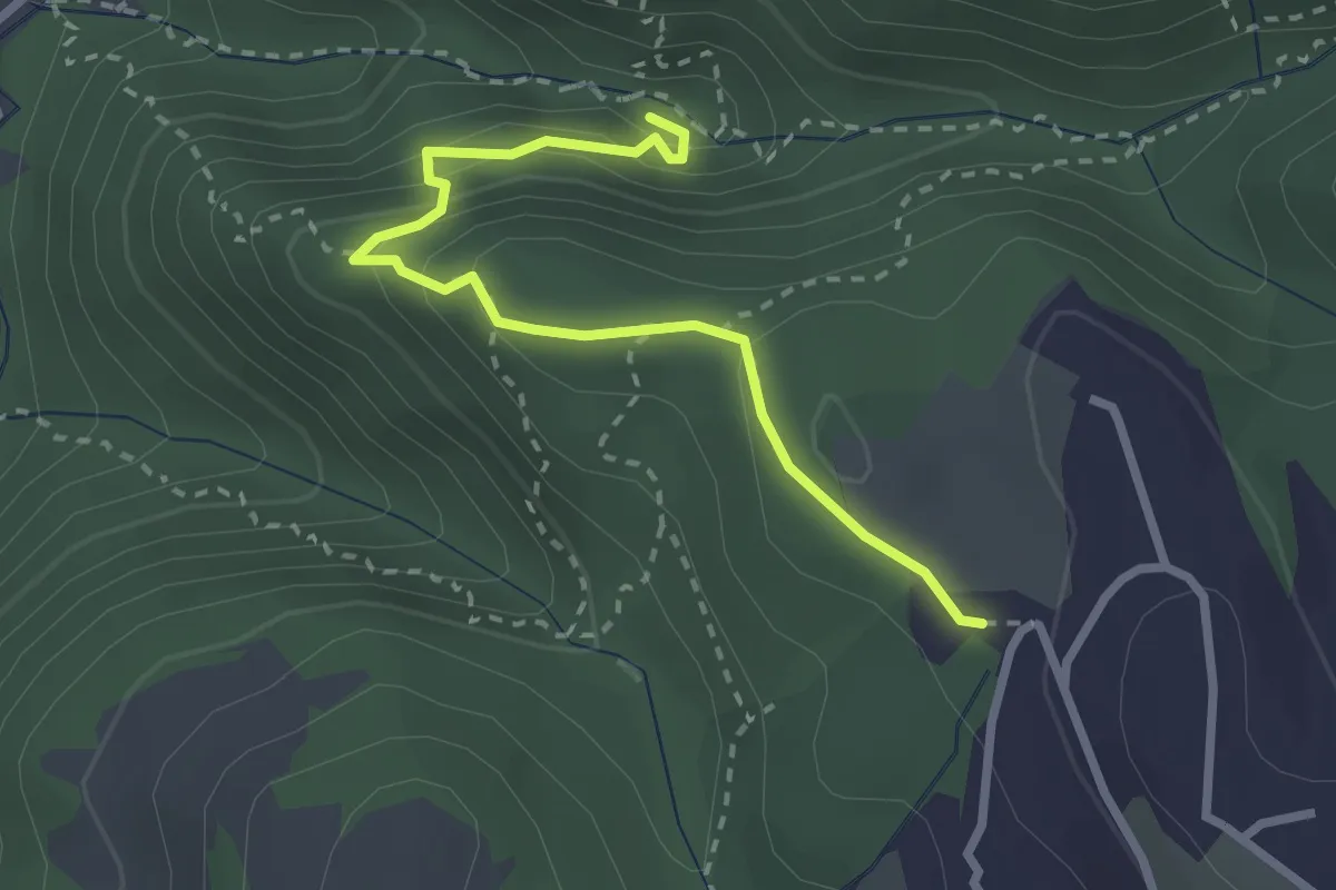
Medium · Trail
Percorso 1 – Malga Biancari
2.3 km · ↑ 179 m · 55 min · 10 km away
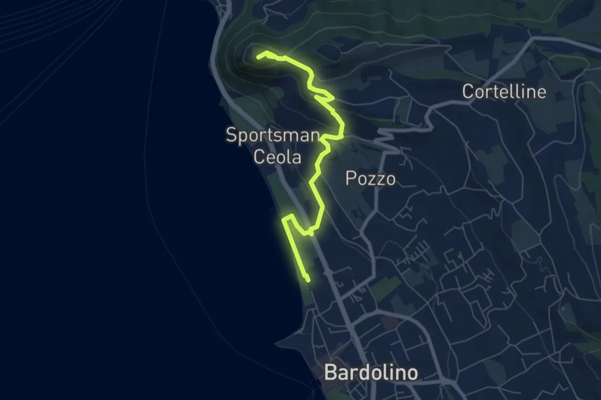
Medium · Trail
Malga Biancari – Ponte tibetano accesso sud
2.8 km · ↑ 163 m · 1 h 1 min · 10 km away
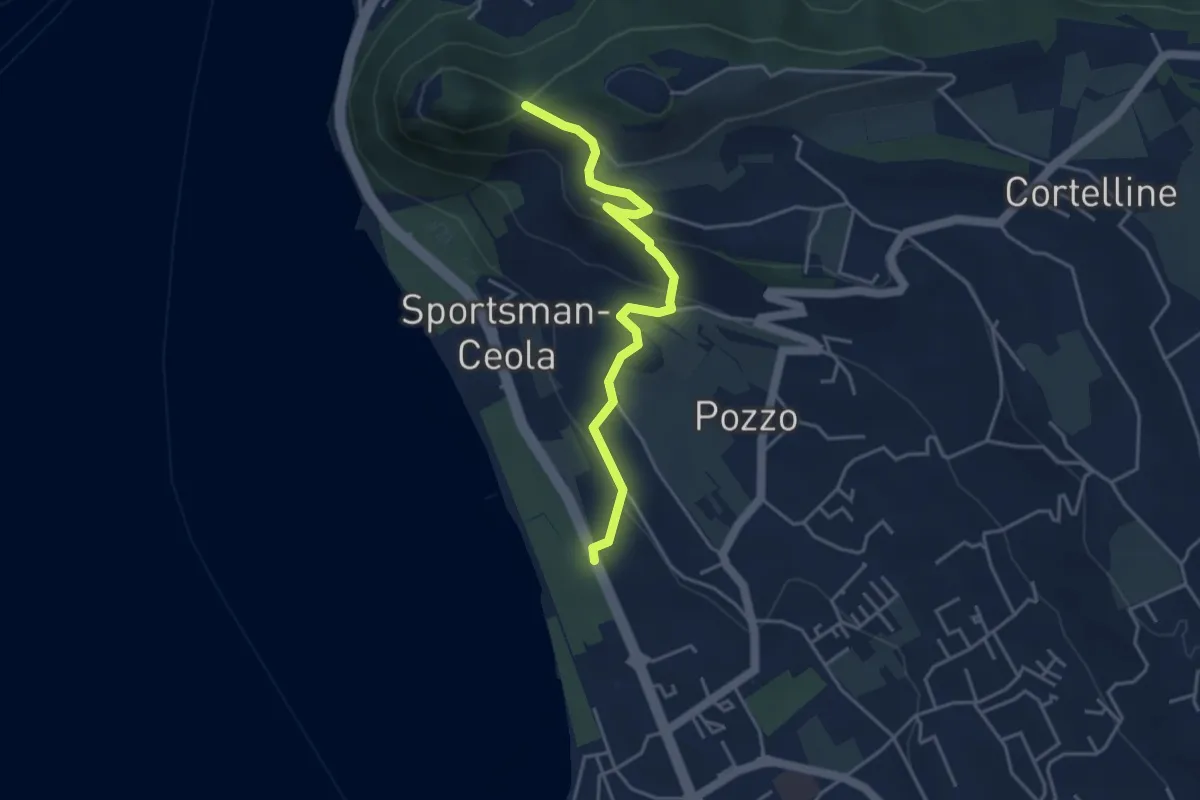
Medium · Summit
Sulle tracce della biodiversità
6.4 km · ↑ 218 m · 1 h 59 min · 10 km away
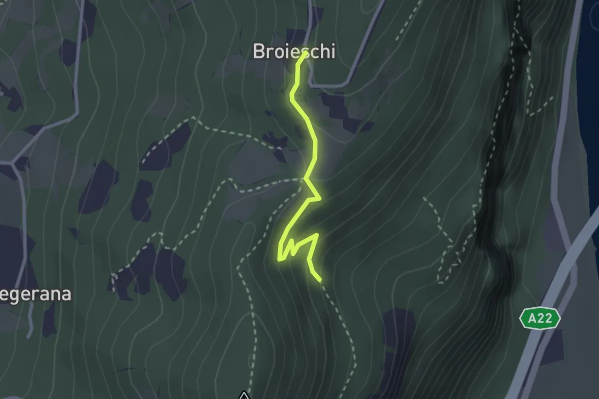
Medium · Trail
Percorso Eremo dei Camaldolesi
4.2 km · ↑ 173 m · 1 h 22 min · 10 km away
Easy · Trail
Bivio sent. n. 71 – Broieschi
2.1 km · ↑ 107 m · 44 min · 10 km away
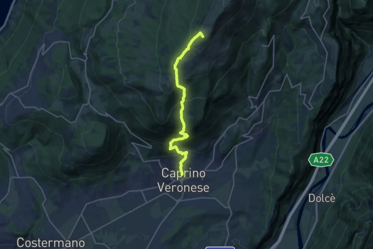
Demanding · Summit
Caprino - Bocchetta di Naole
13.4 km · ↑ 1224 m · 5 h 49 min · 10 km away
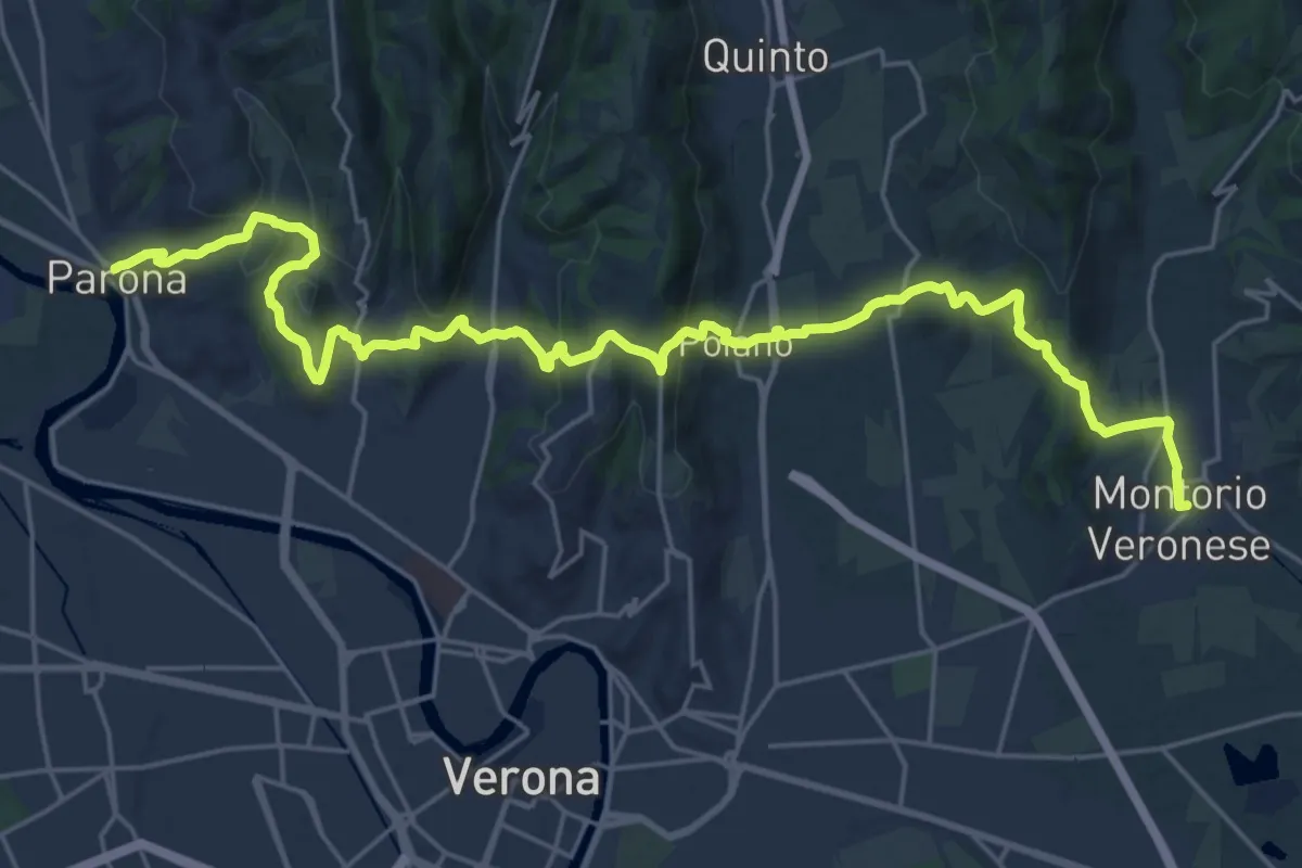
Medium · Trail
Dorsale Giuliani
14.8 km · ↑ 490 m · 4 h 46 min · 10 km away
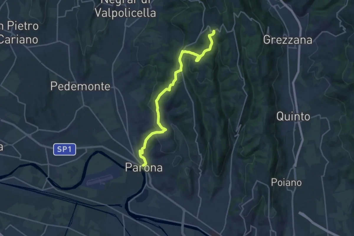
Medium · Trail
Parona – Montecchio
16.2 km · ↑ 520 m · 4 h 57 min · 10 km away
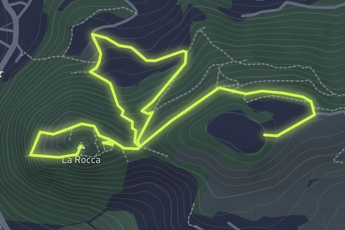
Medium · Summit
Garda - Rocca Vecchia - Eremo dei Camaldolesi
5.8 km · ↑ 404 m · 2 h 15 min · 10 km away
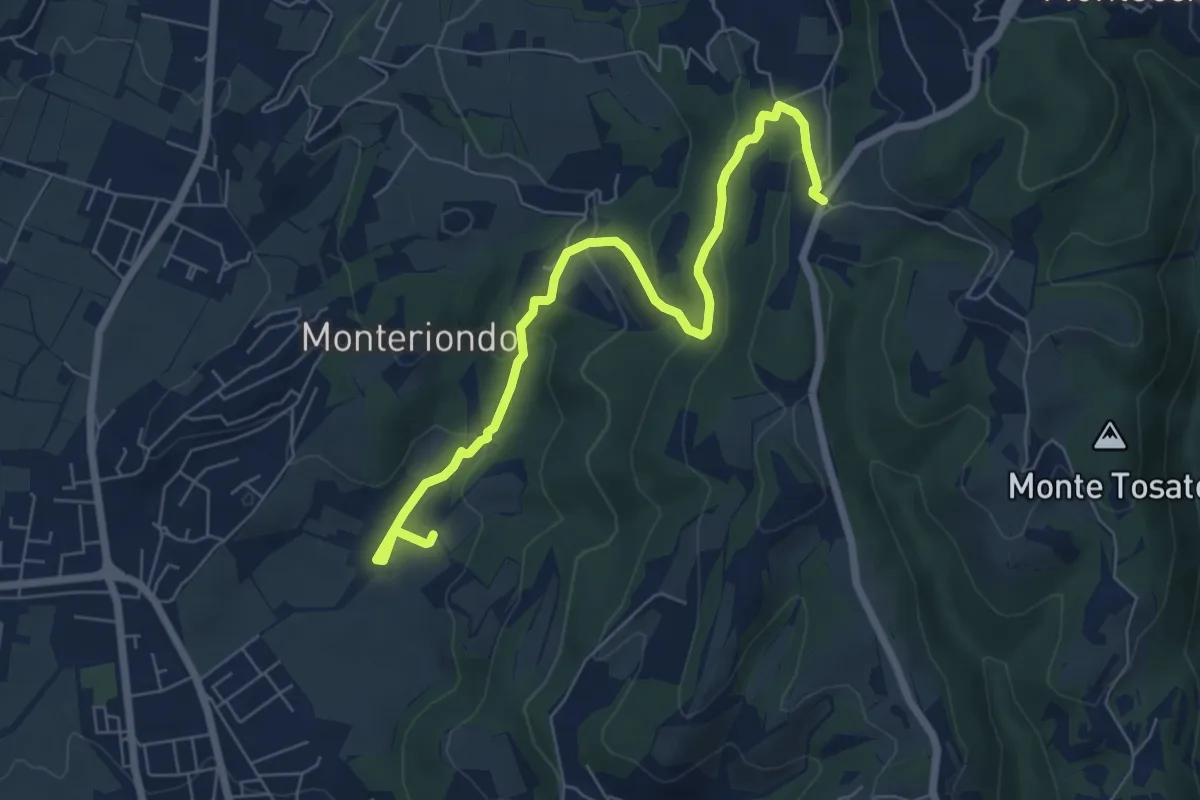
Easy · Trail
Campi di Sopra – Villa Novare
7.4 km · ↑ 295 m · 2 h 23 min · 10 km away
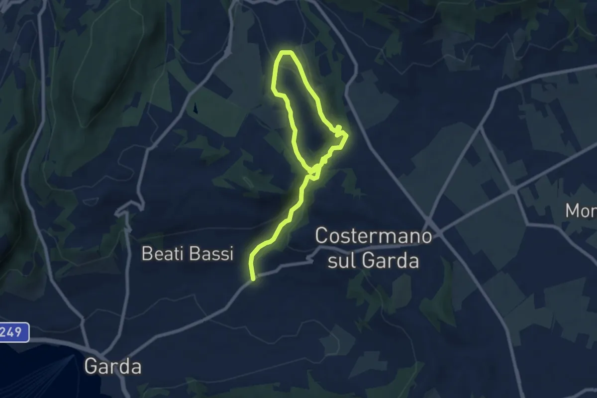
Medium · Trail
Valle Dei Molini (Itinerario D)
9.0 km · ↑ 299 m · 2 h 46 min · 11 km away
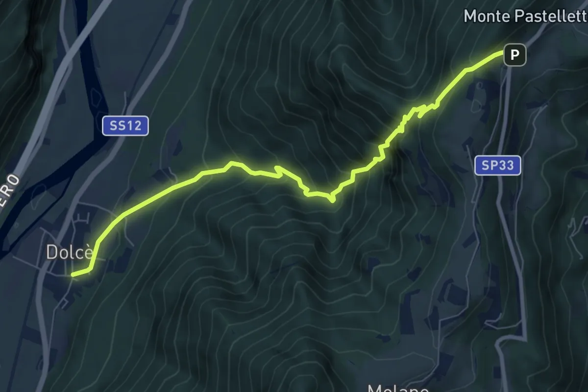
Expert · Trail
Dolcè -Paroletto
8.2 km · ↑ 876 m · 3 h 50 min · 11 km away
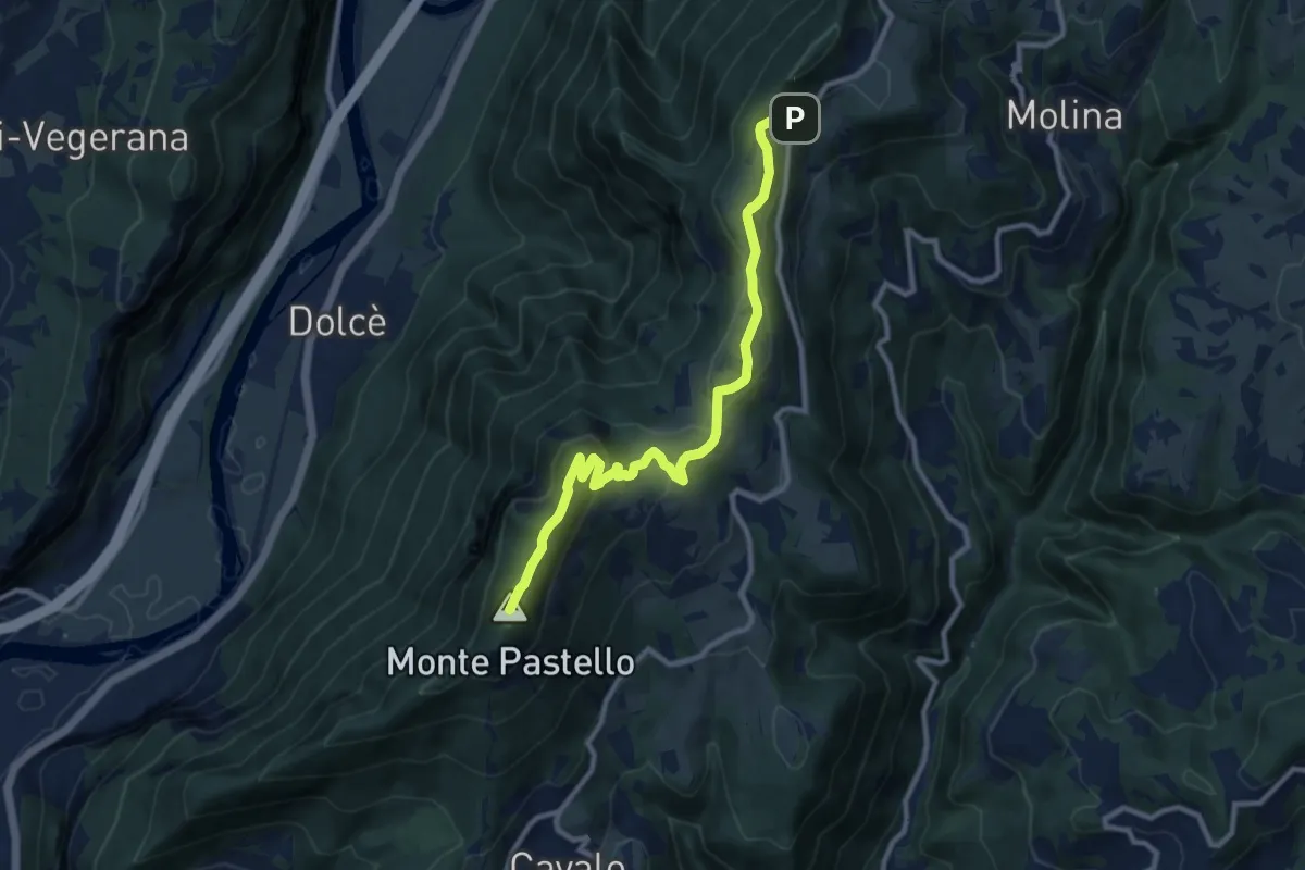
Demanding · Summit
Località Paroletto – Monte Pastello
10.3 km · ↑ 461 m · 3 h 26 min · 11 km away
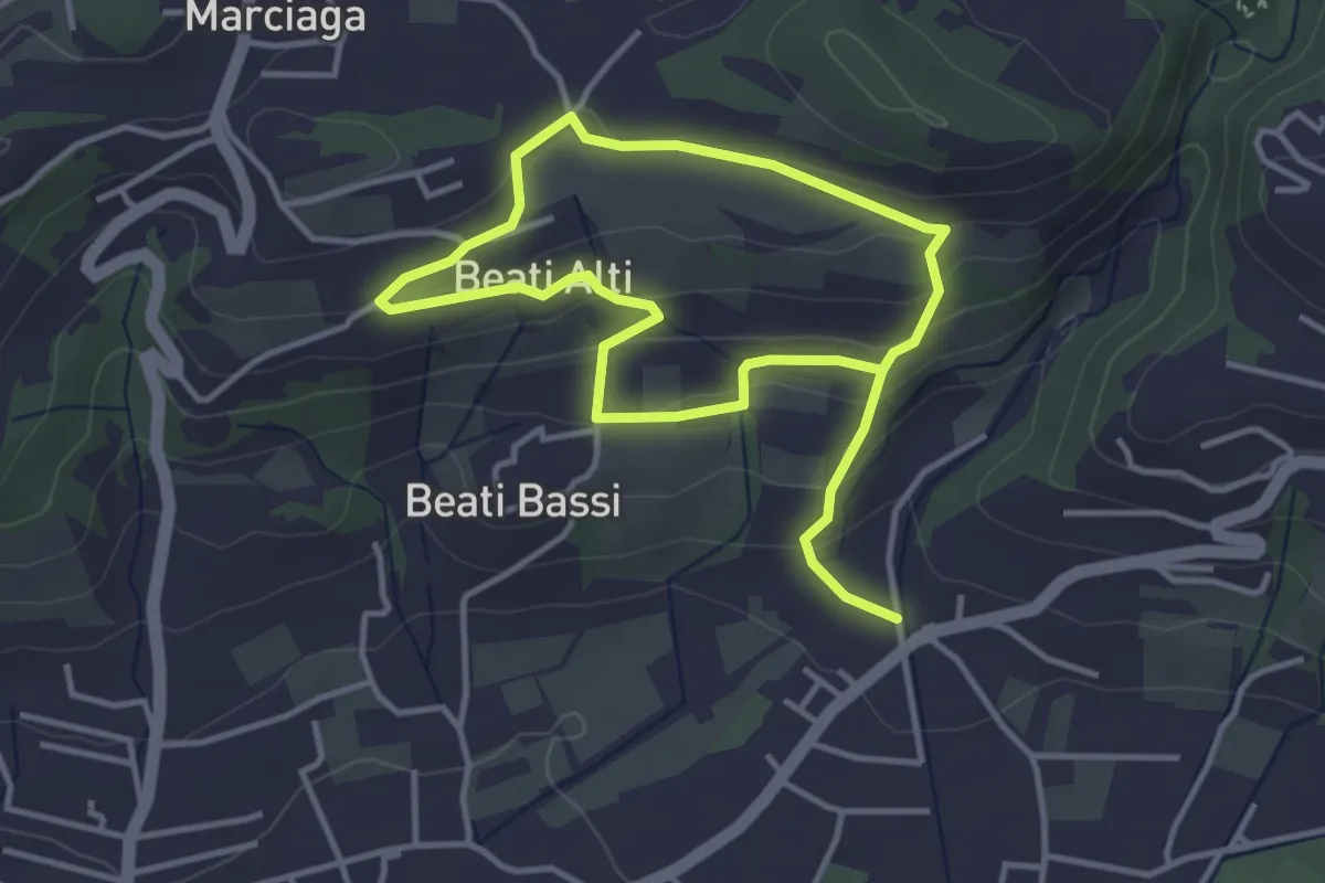
Easy · Trail
Garda - Beati - Pignoi (Itinerario C)
6.2 km · ↑ 241 m · 1 h 59 min · 11 km away
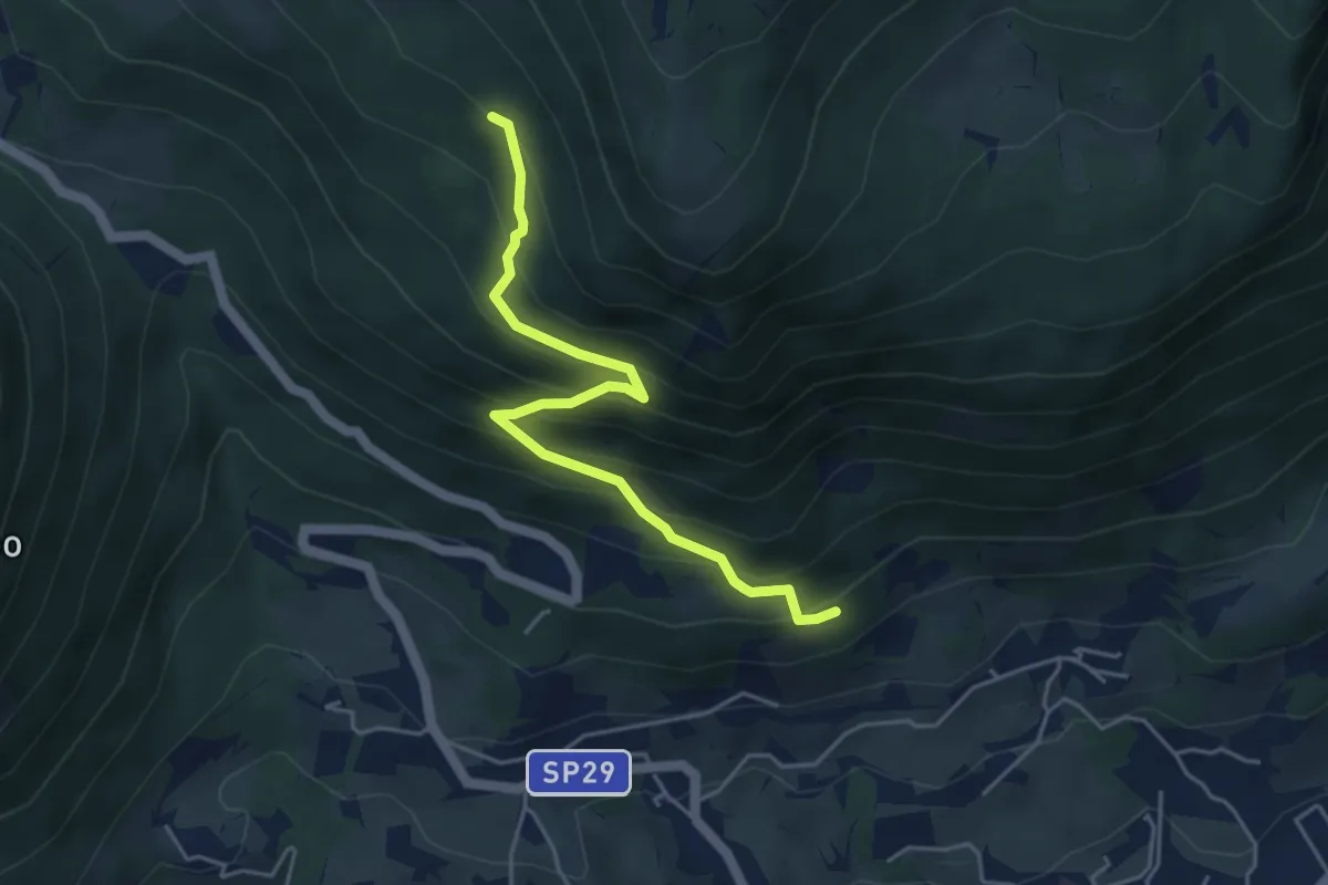
Medium · Trail
Caprino - da sent. 662 – loc. Le Colture - inn. sent. 53
4.6 km · ↑ 432 m · 2 h 2 min · 11 km away
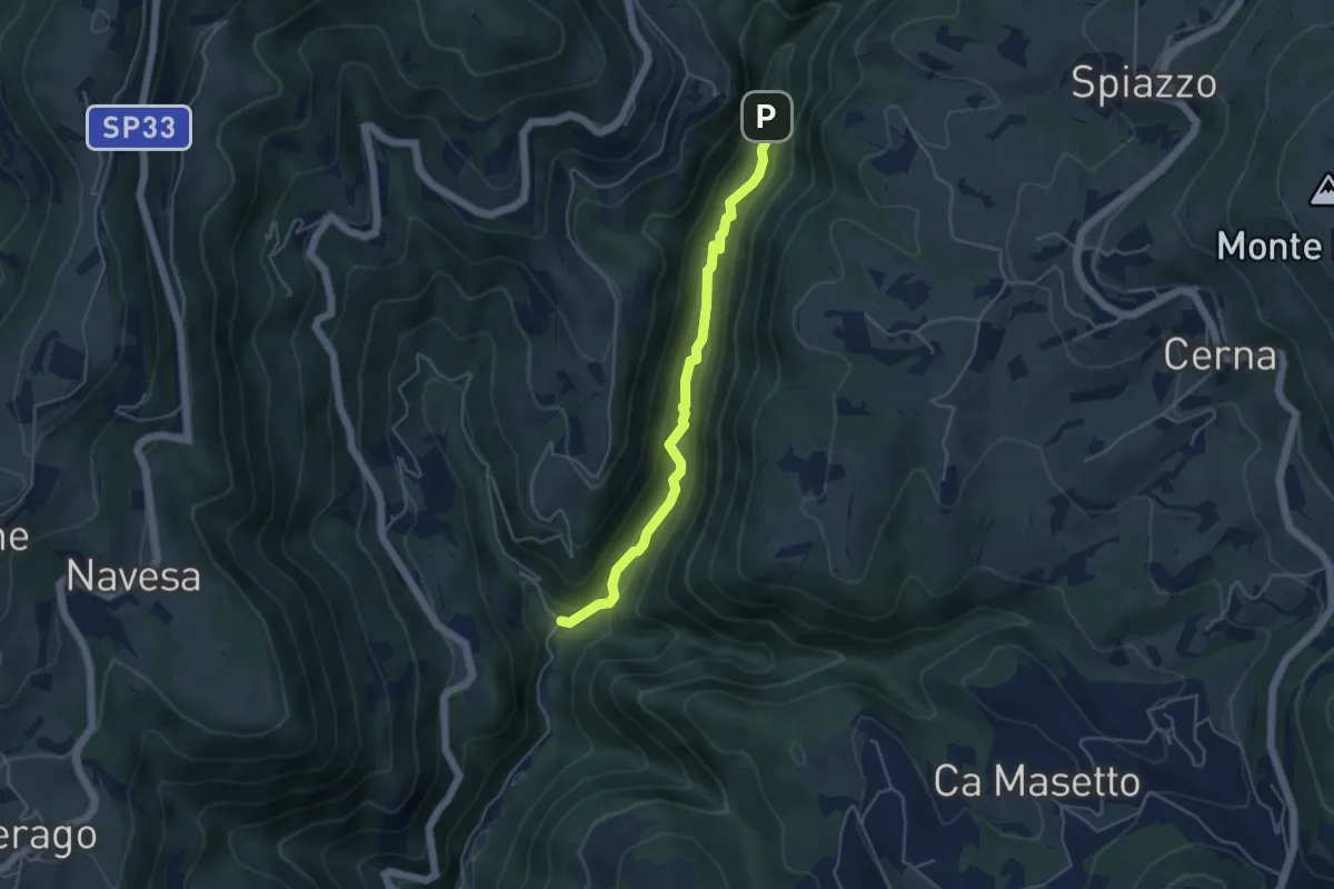
Medium · Trail
Progno di Breonio
4.5 km · ↑ 157 m · 1 h 24 min · 11 km away
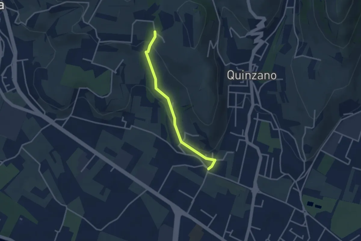
Easy · Trail
Allacciante n. 1
2.6 km · ↑ 80 m · 47 min · 11 km away
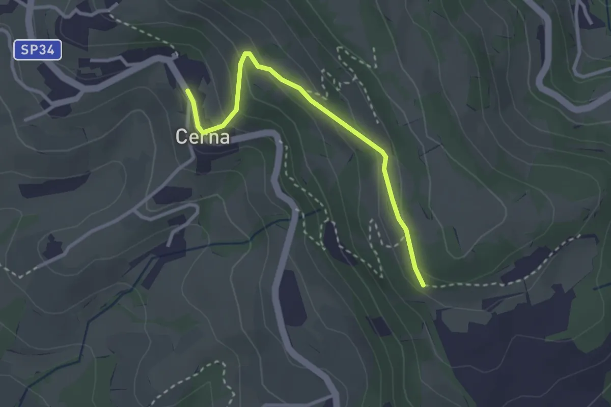
Easy · Trail
Cerna – sentiero 252
2.7 km · ↑ 141 m · 57 min · 12 km away
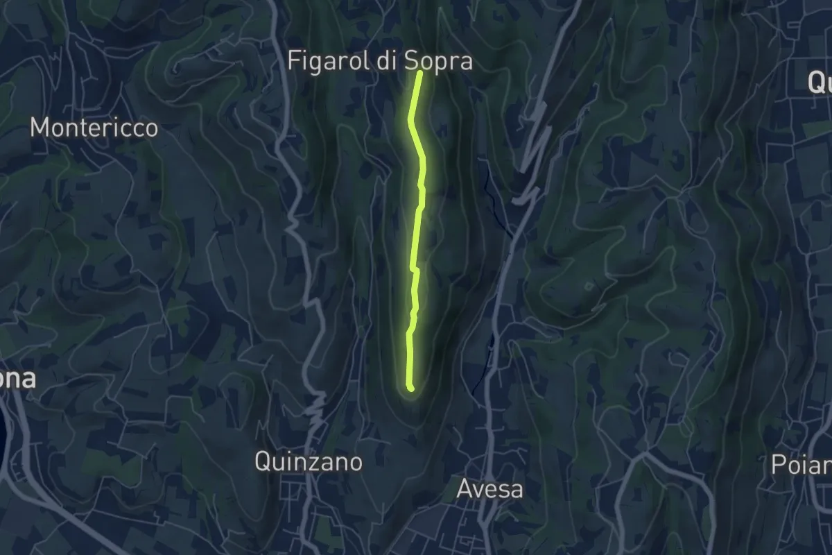
Medium · Summit
Quinzano - Montecchio
4.2 km · ↑ 78 m · 1 h 9 min · 12 km away
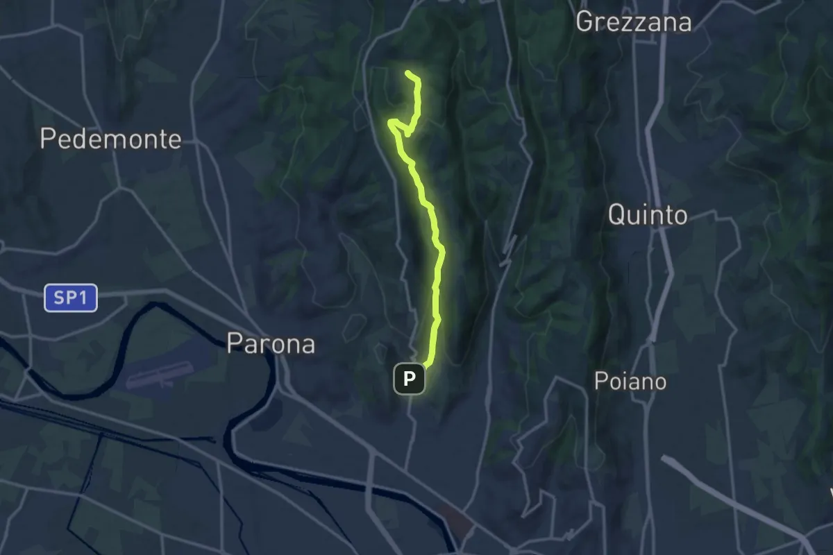
Medium · Trail
Sentiero Girardi
12.9 km · ↑ 403 m · 3 h 56 min · 12 km away
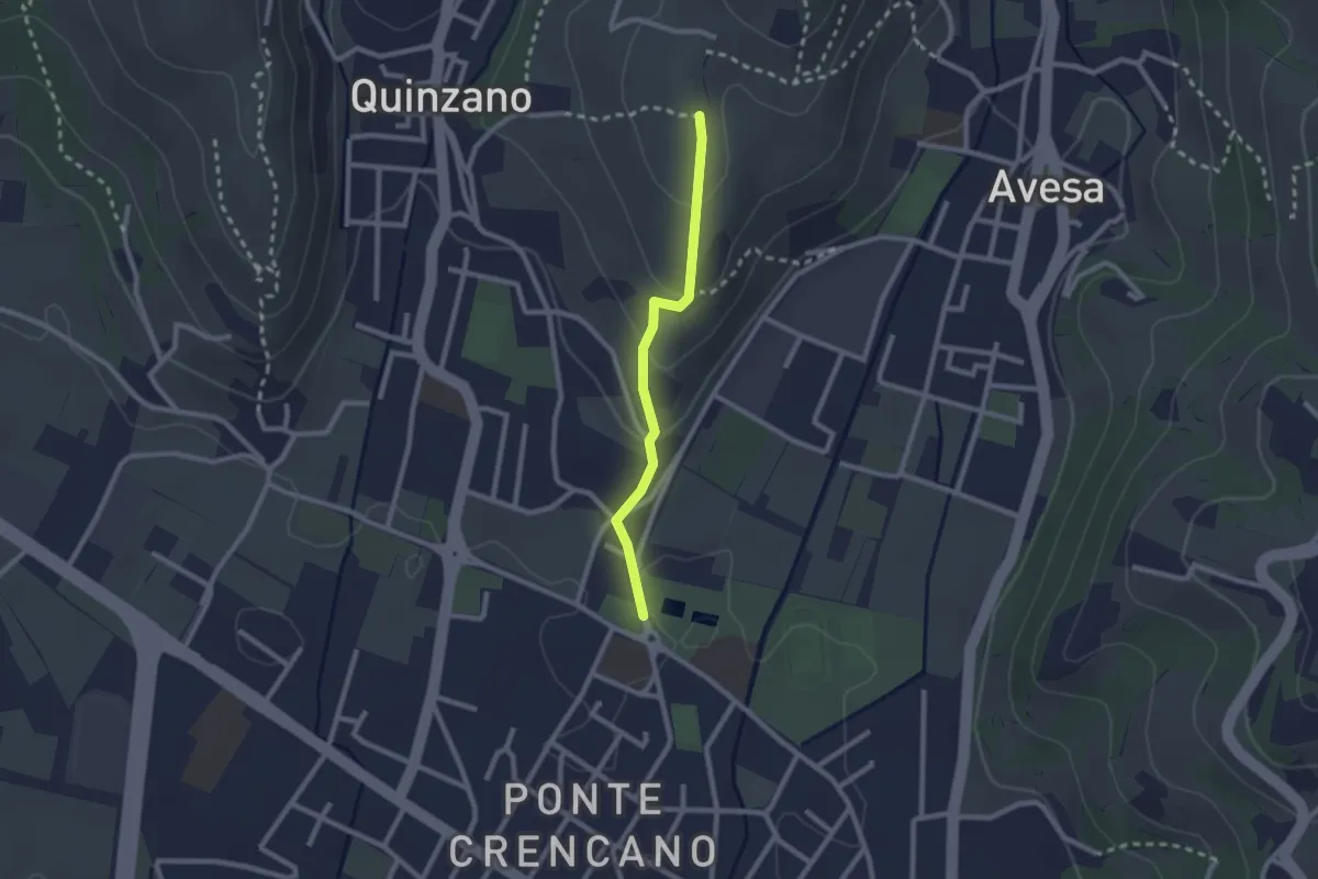
Easy · Trail
Allacciante n. 2
2.1 km · ↑ 85 m · 41 min · 13 km away
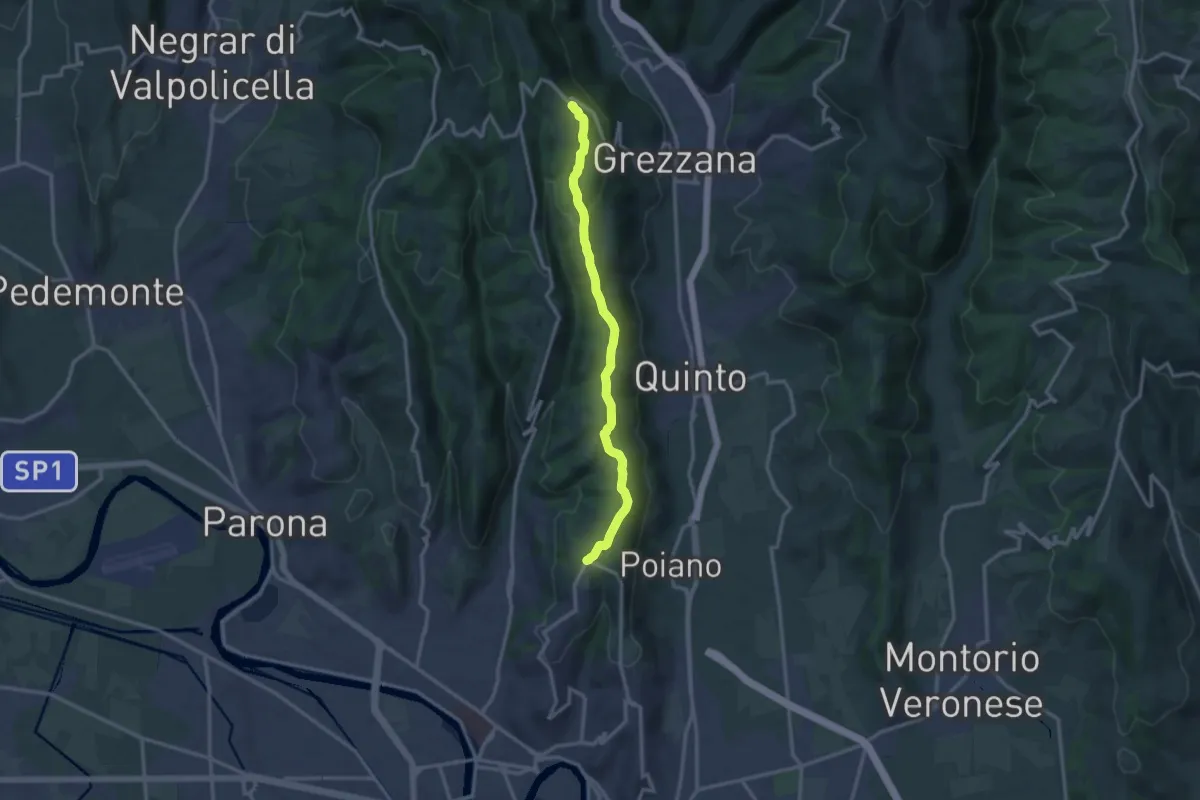
Medium · Trail
Dorsale delle Torricelle
13.1 km · ↑ 260 m · 3 h 39 min · 13 km away
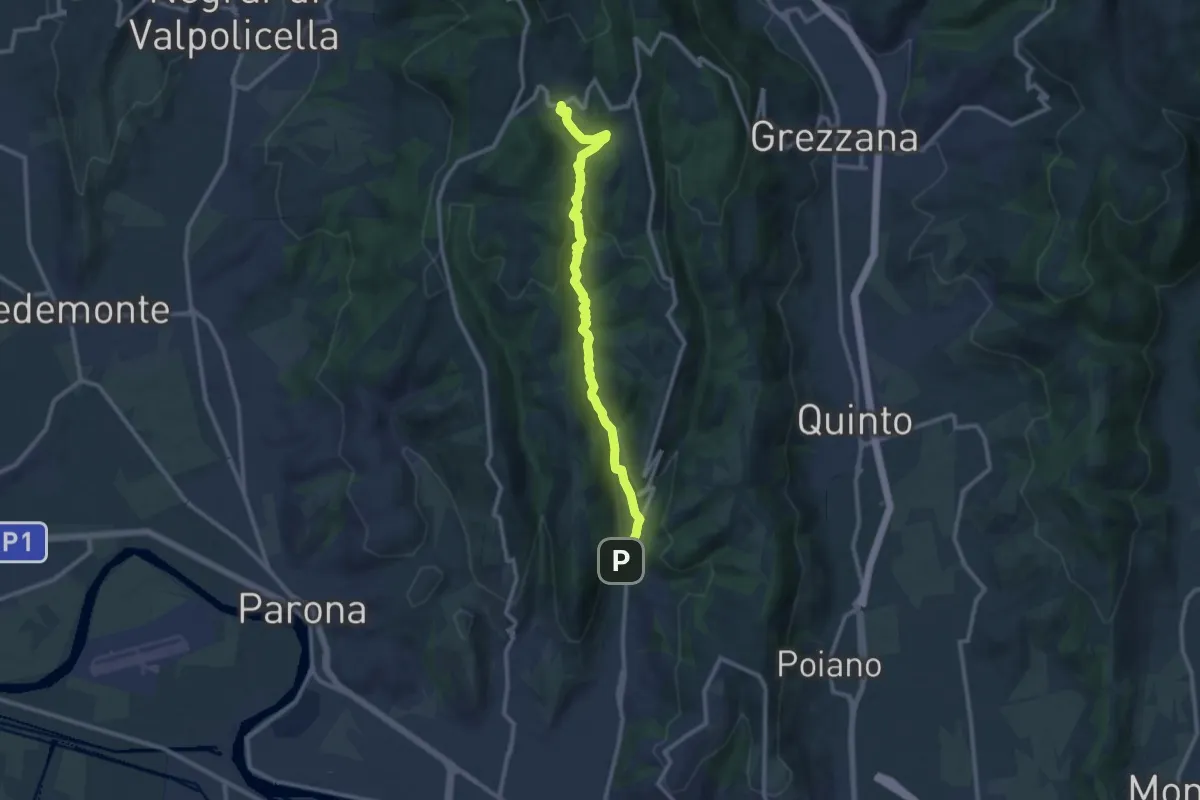
Demanding · Trail
Vajo Borago
11.3 km · ↑ 404 m · 3 h 33 min · 13 km away
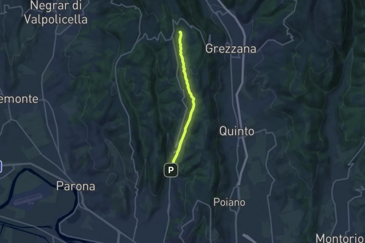
Medium · Trail
Vajo Galina
10.1 km · ↑ 334 m · 3 h 7 min · 13 km away
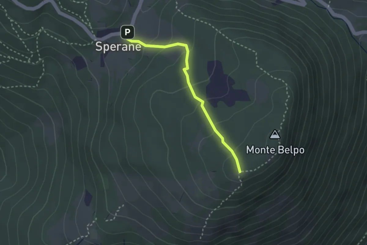
Easy · Trail
Sperane - Crocetta Monte Belpo
2.5 km · ↑ 133 m · 53 min · 13 km away
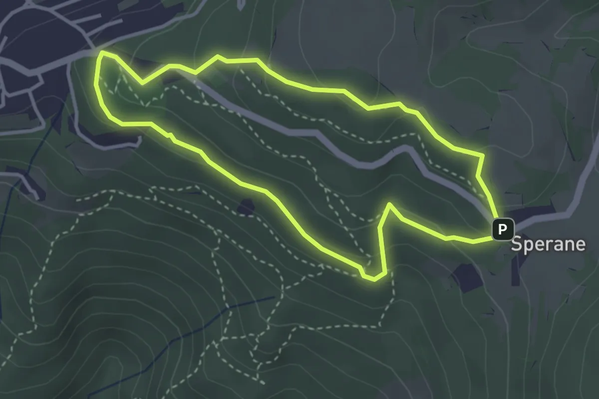
Medium · Trail
Sentiero Natura Pineta Sperane
3.2 km · ↑ 145 m · 1 h 6 min · 13 km away
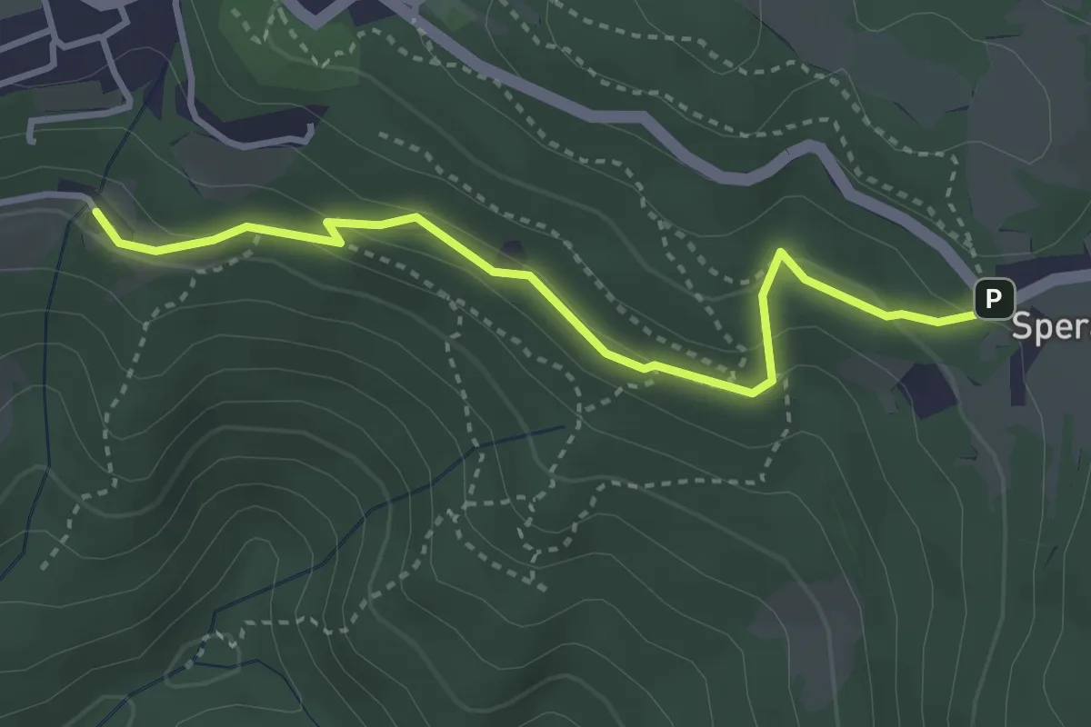
Medium · Trail
Canevoi - Sperane
3.5 km · ↑ 170 m · 1 h 12 min · 13 km away
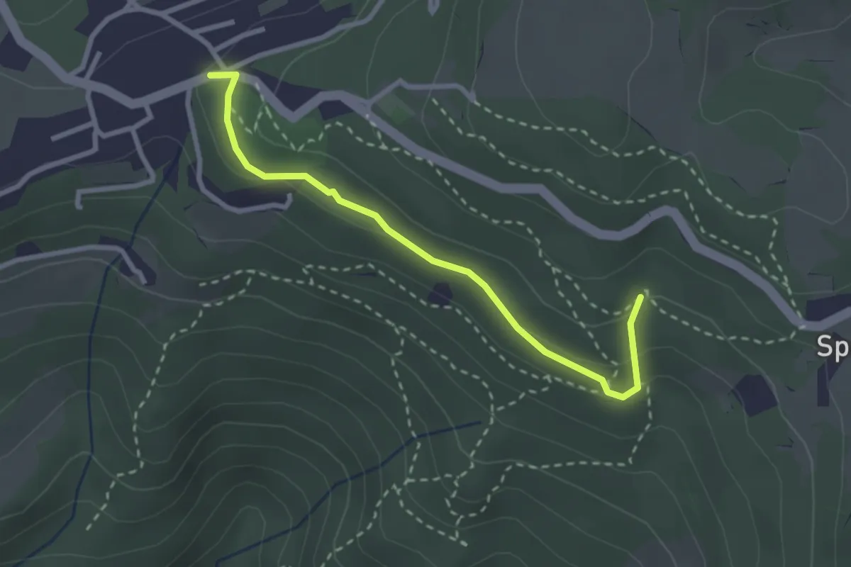
Medium · Trail
Pineta Sperane
2.8 km · ↑ 89 m · 51 min · 13 km away
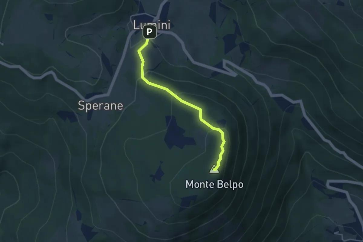
Medium · Summit
Lumini - Crocetta del Monte Belpo
3.1 km · ↑ 176 m · 1 h 7 min · 13 km away