Trails near Sant'Ambrogio di Valpolicella
65 hikes starting within 15 km, nearest first.
Nearest first, page 2 of 2
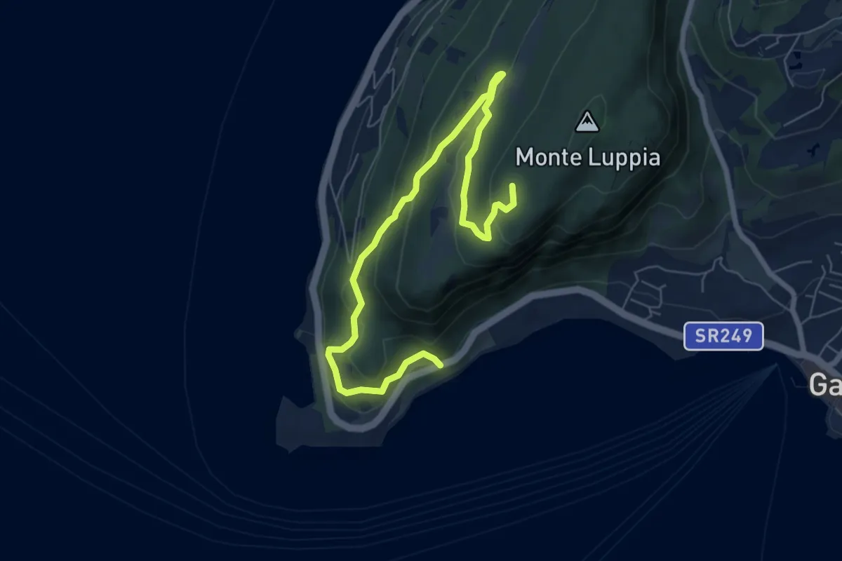
Medium · Summit
San Vigilio - Sengie - Graffitti
8.0 km · ↑ 356 m · 2 h 40 min · 13 km away
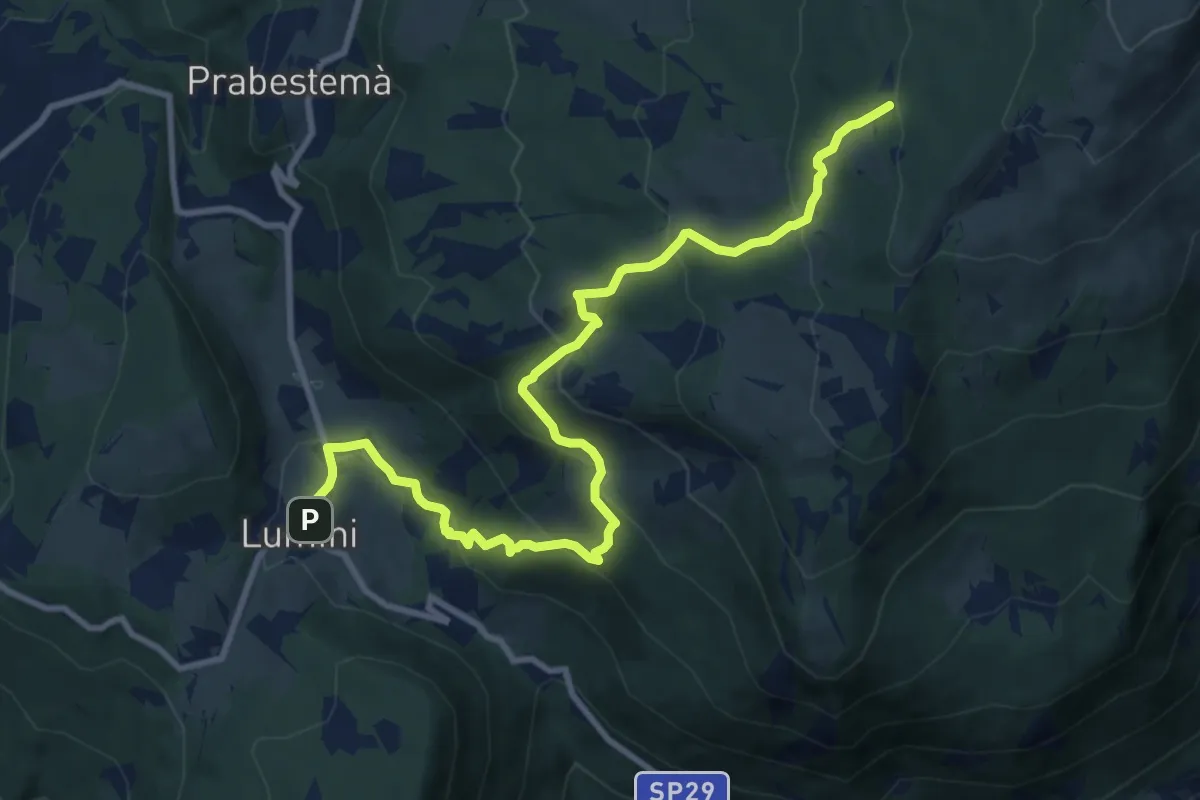
Medium · Summit
Lumini – Baito Eugenio Turri
11.4 km · ↑ 631 m · 4 h 3 min · 13 km away
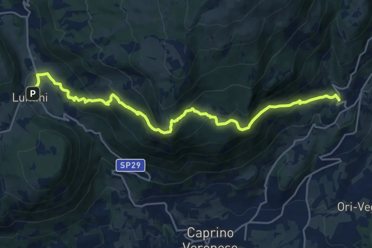
Demanding · Trail
Braga – Lumini
14.8 km · ↑ 921 m · 5 h 29 min · 13 km away
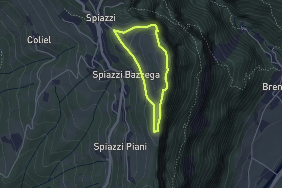
Easy · Summit
Spiazzi Trincee del Monte Cimo
2.4 km · ↑ 144 m · 54 min · 13 km away
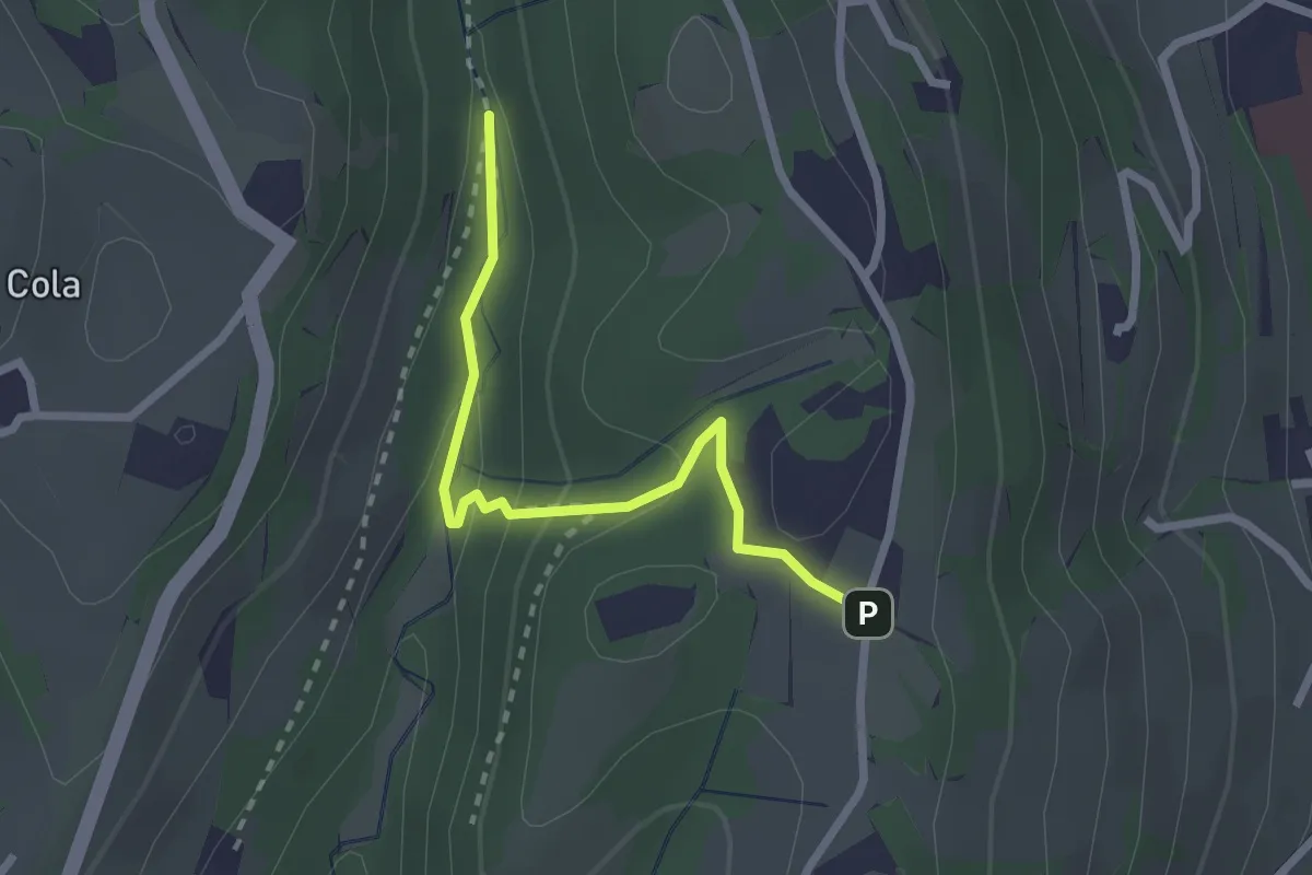
Easy · Trail
Vajo Galina – Percorso 263
2.4 km · ↑ 105 m · 48 min · 14 km away
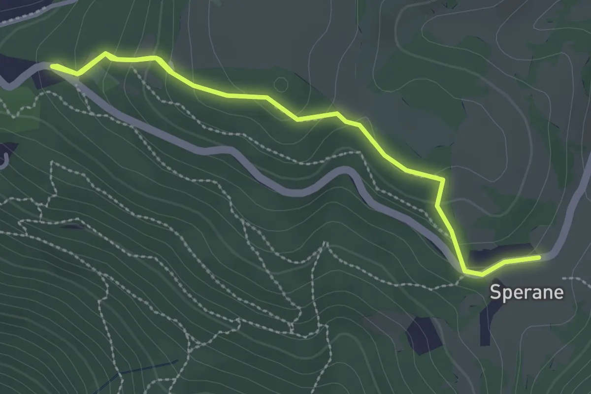
Medium · Trail
Parco Pineta Sperane - Le Fittanze - Sperane
3.3 km · ↑ 163 m · 1 h 9 min · 14 km away
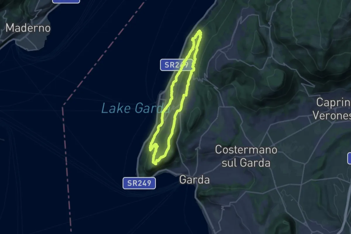
Medium · Summit
Giro del Crero (Torri del Benaco)
16.1 km · ↑ 532 m · 5 h 10 min · 14 km away
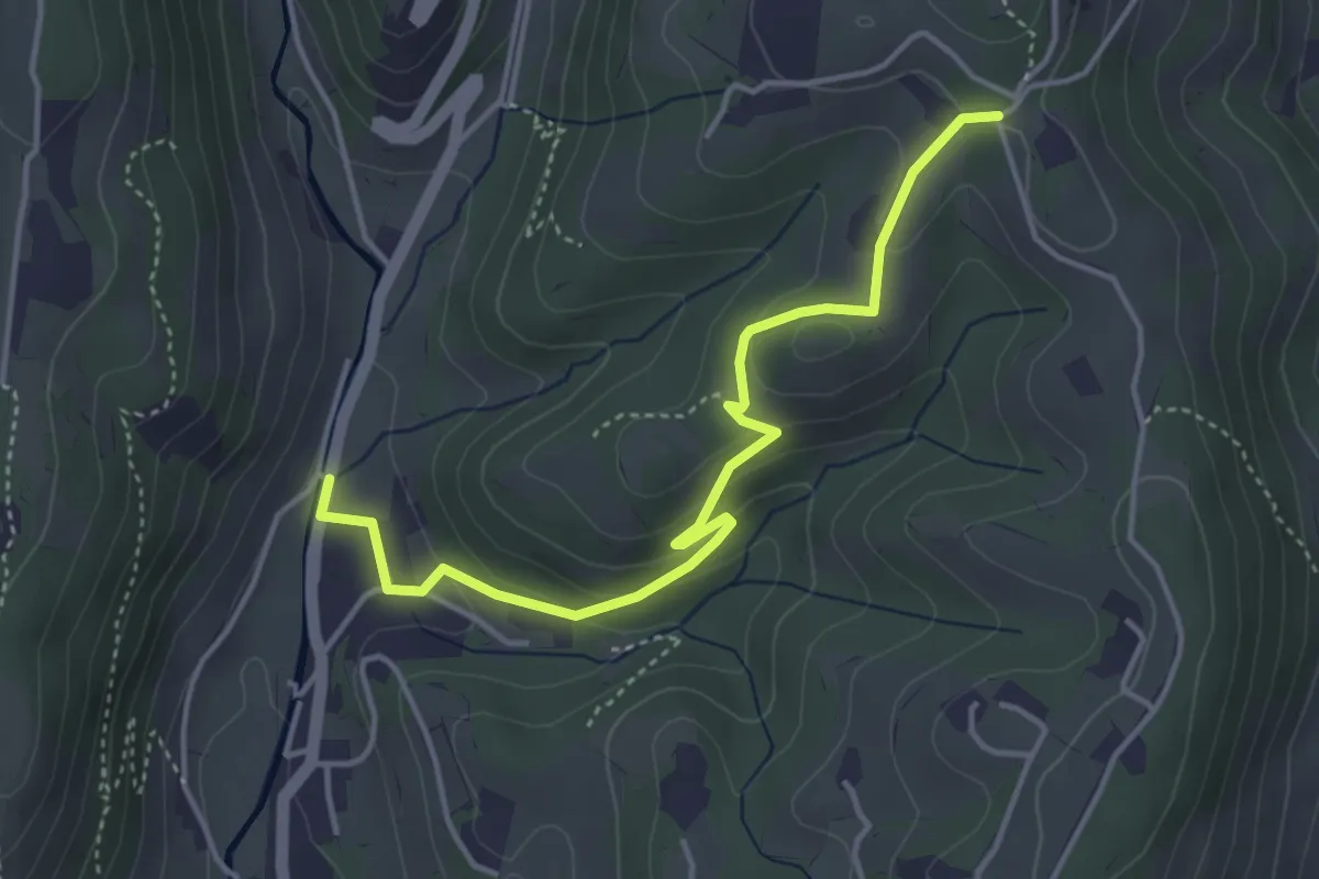
Easy · Trail
Avesa – Percorso 263
4.4 km · ↑ 174 m · 1 h 25 min · 14 km away
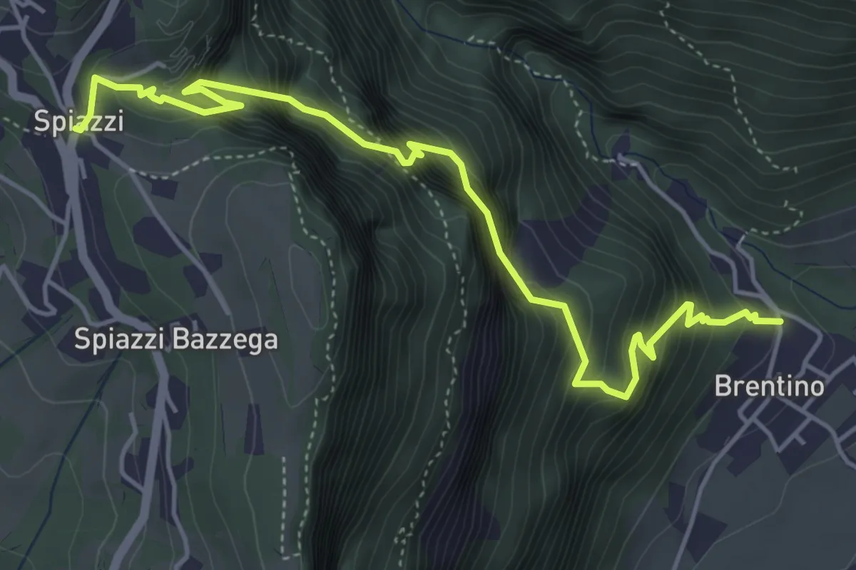
Medium · Trail
Sentiero della Speranza
5.6 km · ↑ 773 m · 3 h · 14 km away
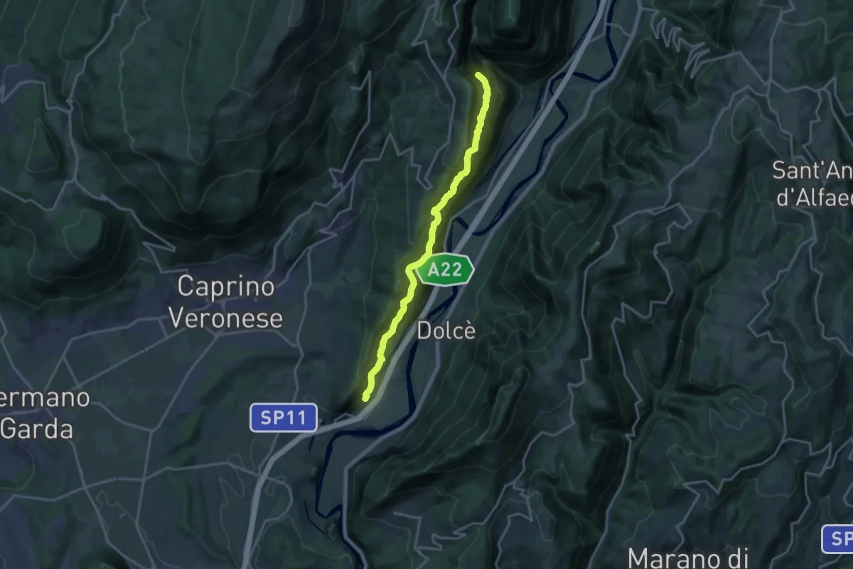
Demanding · Trail
Canale - Madonna della Corona
15.9 km · ↑ 1707 m · 7 h 27 min · 14 km away
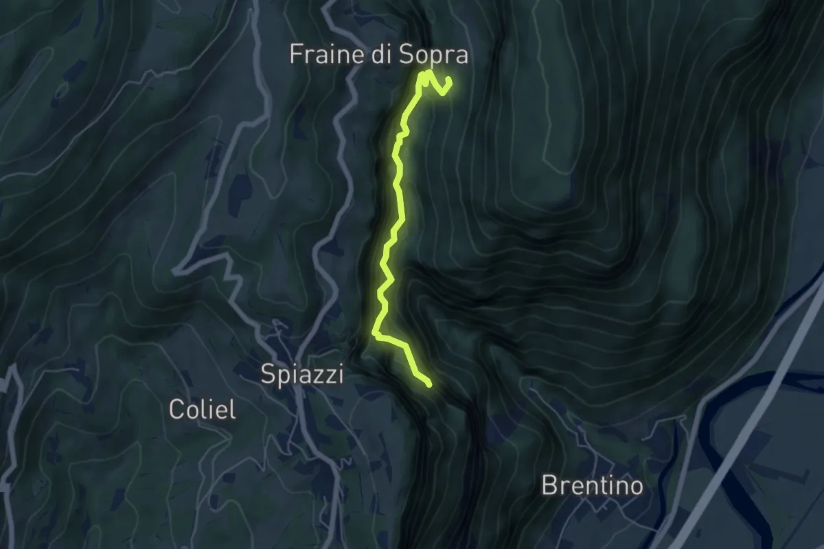
Demanding · Trail
Sentiero del Vajo dell'Orsa
4.6 km · ↑ 1054 m · 3 h 23 min · 14 km away
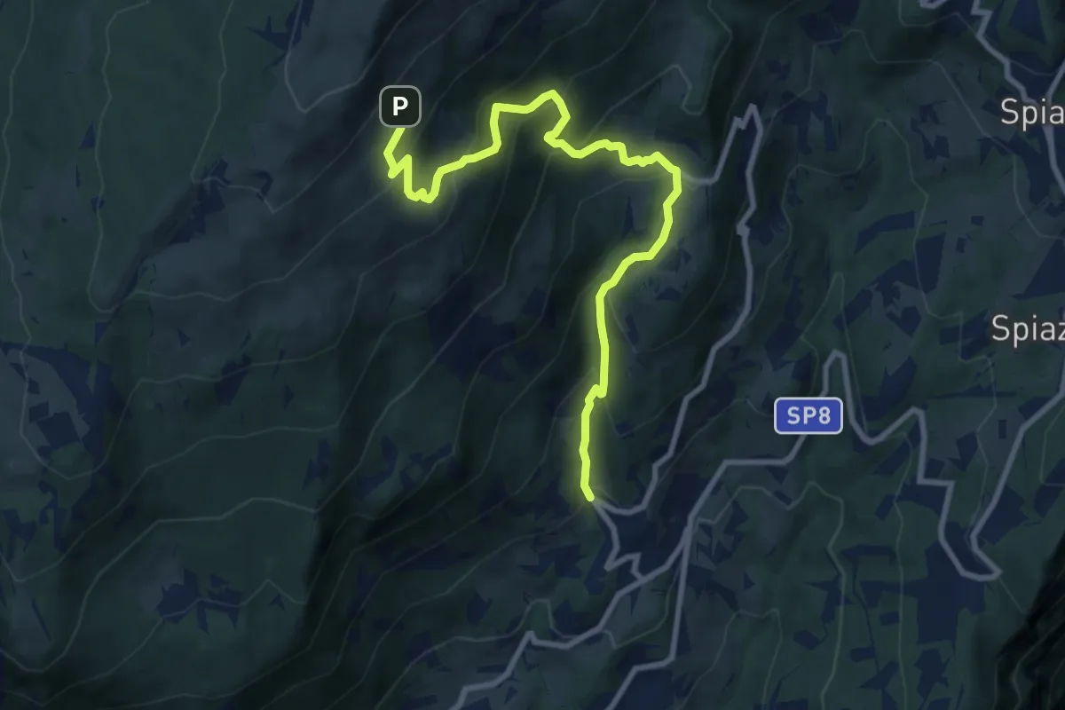
Demanding · Trail
Braga – Colonei di Caprino
9.7 km · ↑ 802 m · 4 h 2 min · 14 km away
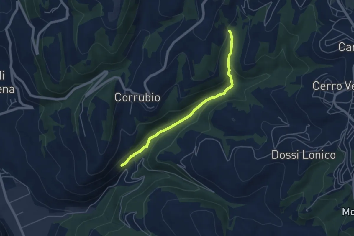
Easy · Trail
Raccordo Sentiero n. 1
4.1 km · ↑ 169 m · 1 h 21 min · 15 km away
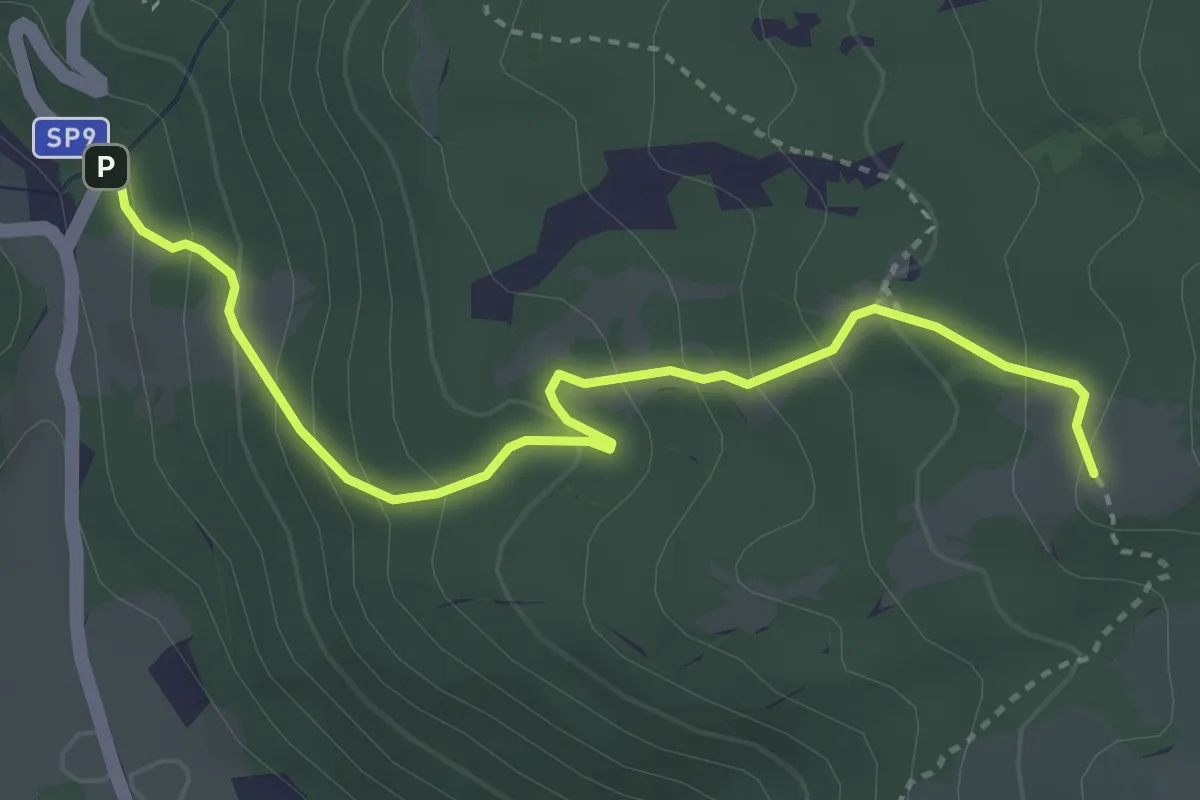
Easy · Trail
Corrubbio – Malga Zilone
3.8 km · ↑ 286 m · 1 h 31 min · 15 km away
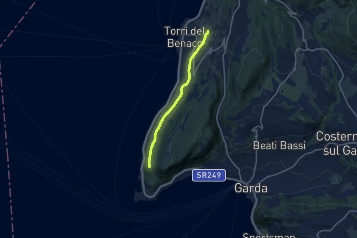
Medium · Trail
Monte Luppia
7.7 km · ↑ 138 m · 2 h 7 min · 15 km away
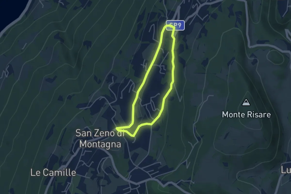
Medium · Trail
Cà Schena - Castello - Cà Montagna - Cà Schena
3.3 km · ↑ 83 m · 1 h · 15 km away
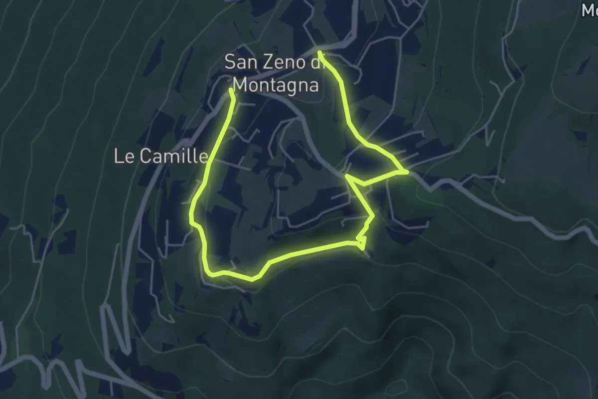
Easy · Trail
da verificare
6.6 km · ↑ 225 m · 2 h 2 min · 15 km away