Trails near Santo Stefano di Magra
216 hikes starting within 15 km, nearest first.
Nearest first, page 2 of 5
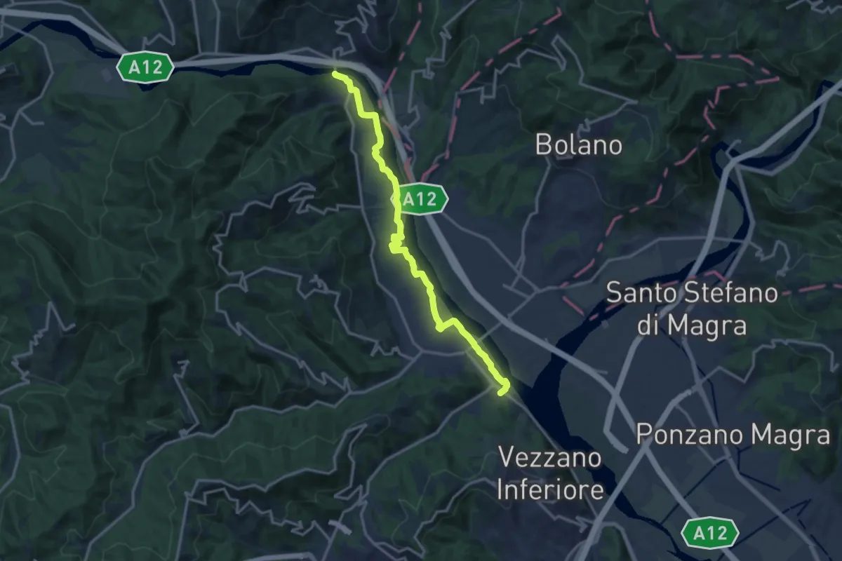
Medium · Trail
Bottagna – Piana Battolla
13.9 km · ↑ 31 m · 3 h 22 min · 7 km away
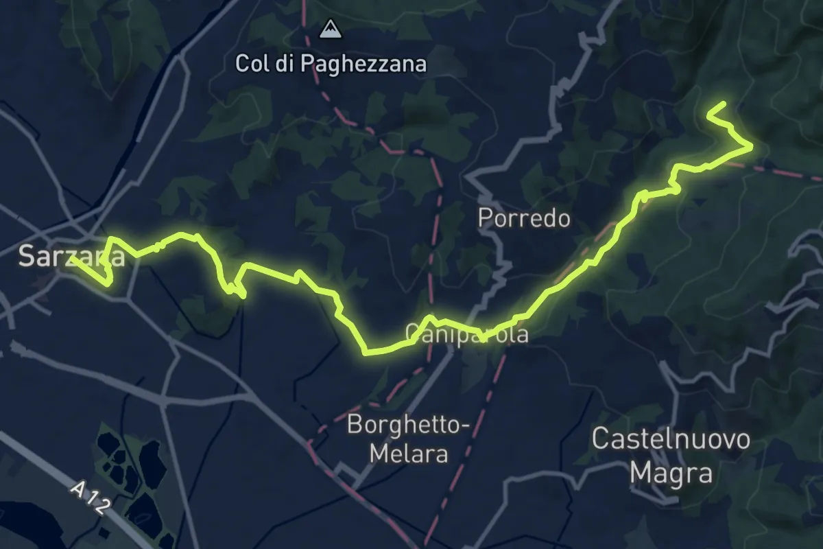
Medium · Trail
Sentiero dei Ducati Tappa 12
16.9 km · ↑ 465 m · 5 h · 7 km away
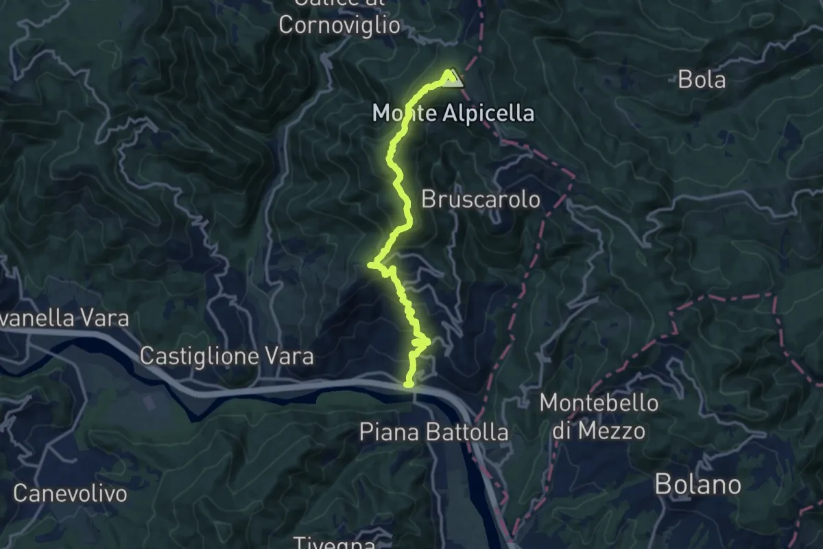
Demanding · Summit
Piano di Madrignano - Madrignano - Foce Carzachi - Alpicella
12.6 km · ↑ 855 m · 4 h 49 min · 7 km away
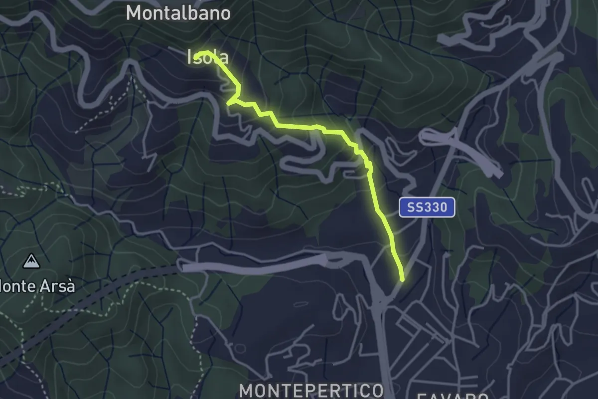
Easy · Trail
Felettino - Isola (Via dei Pilastri)
3.2 km · ↑ 238 m · 1 h 16 min · 7 km away
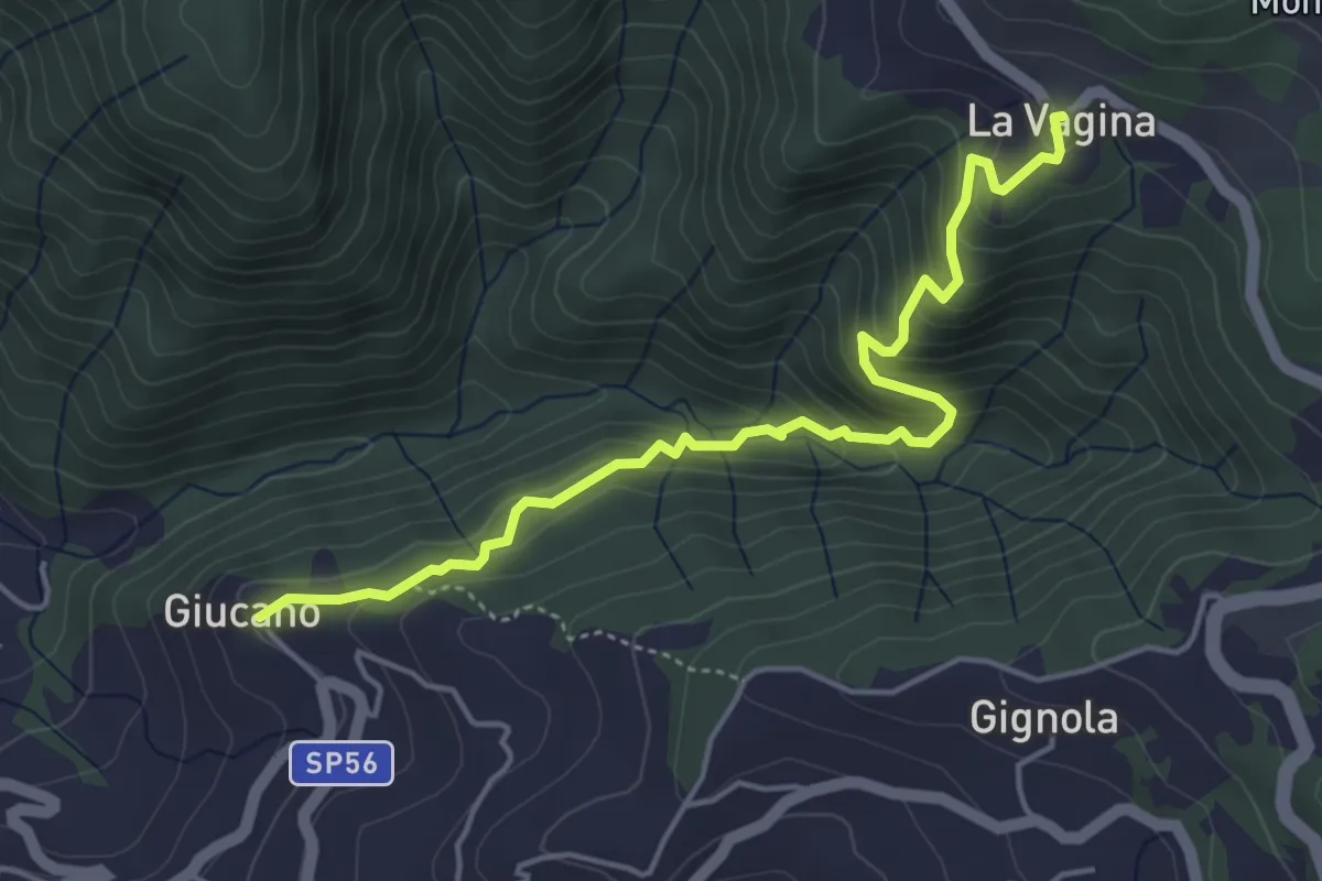
Medium · Trail
Giucano – Località La Vagina
5.1 km · ↑ 404 m · 2 h 5 min · 7 km away
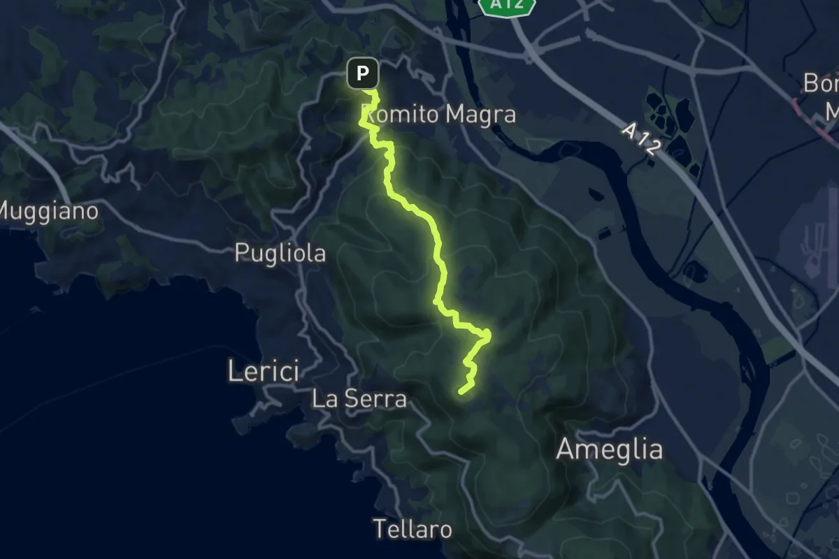
Medium · Summit
Trebiano – Montemarcello
11.1 km · ↑ 590 m · 3 h 54 min · 7 km away
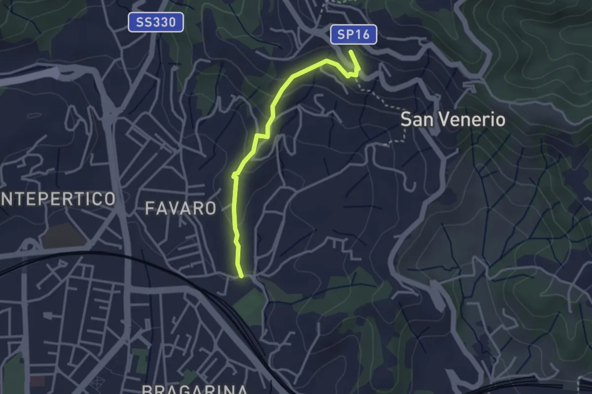
Easy · Trail
La Pieve – Carozzo (via della Lobbia)
2.9 km · ↑ 127 m · 57 min · 7 km away
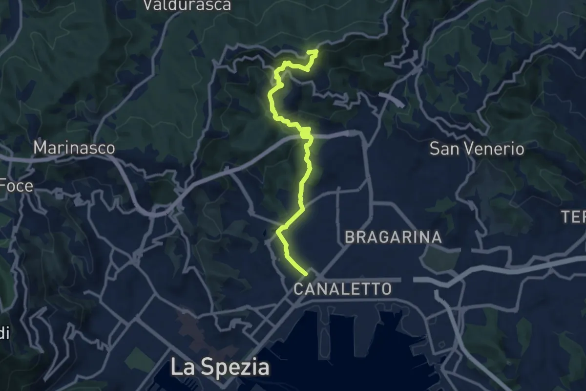
Medium · Trail
Via Veneto – Vailunga – Toracca – Isola – Montalbano
9.6 km · ↑ 452 m · 3 h 14 min · 7 km away
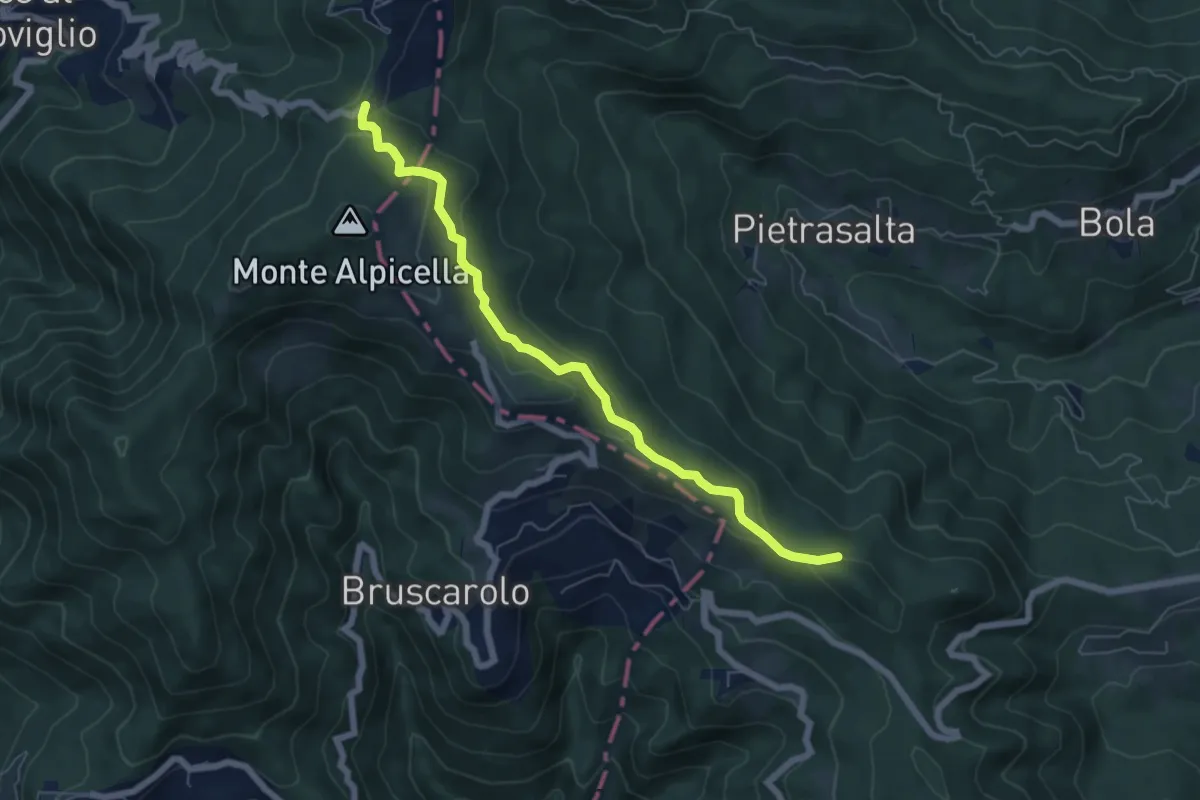
Easy · Trail
Passo Alpicella - Valico dei Solini
6.5 km · ↑ 254 m · 2 h 5 min · 7 km away
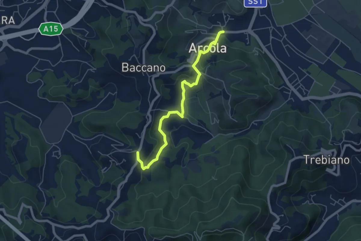
Medium · Trail
Ponte di Arcola – Pietralba
5.5 km · ↑ 234 m · 1 h 48 min · 7 km away
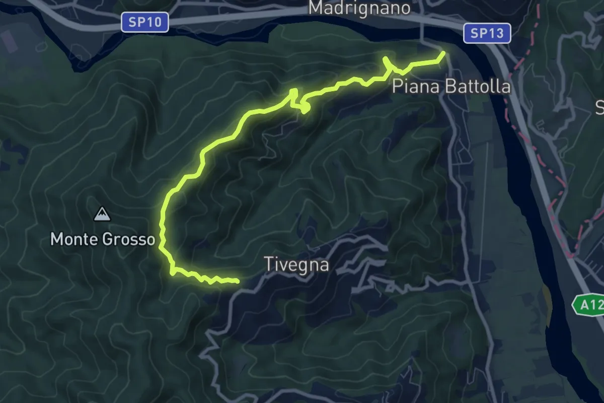
Expert · Trail
Piana Battolla - Torenco – Monte Lama Ebreo
9.9 km · ↑ 618 m · 3 h 41 min · 7 km away
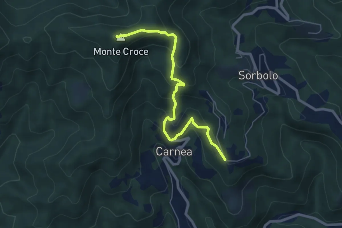
Demanding · Summit
Madonna dell’ Olivo – Carnea - Monte Croce
5.2 km · ↑ 410 m · 2 h 6 min · 7 km away
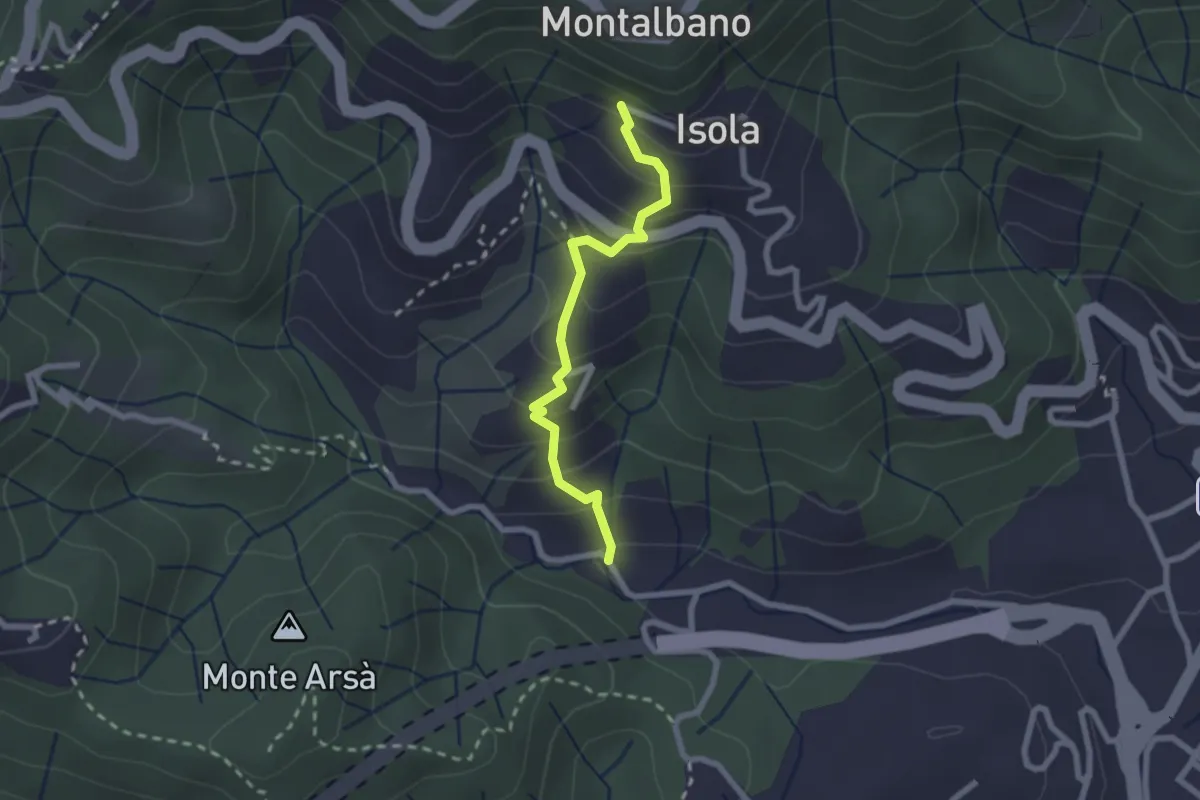
Easy · Trail
Felettino - Montalbano (Scalinata del Forno)
2.2 km · ↑ 220 m · 1 h · 8 km away
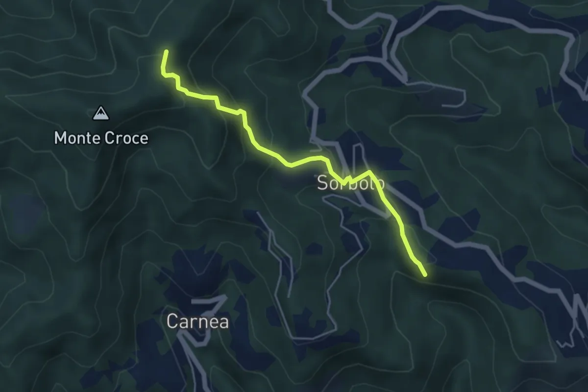
Easy · Summit
Bastremoli – Sella del Monte Croce
4.2 km · ↑ 298 m · 1 h 38 min · 8 km away
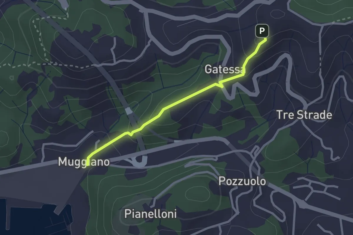
Easy · Trail
Muggiano – Percorso 450
2.4 km · ↑ 143 m · 52 min · 8 km away
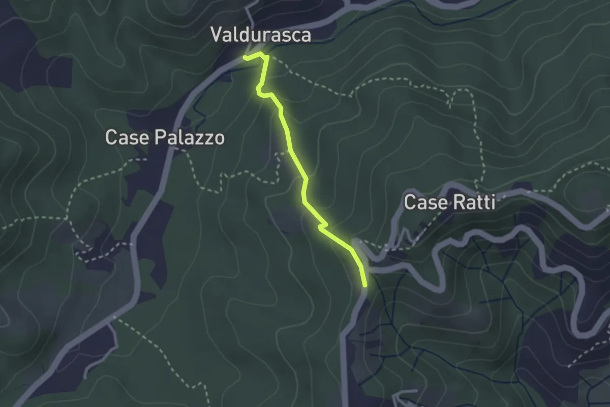
Easy · Trail
Durasca – Campasso – Serrolungo – innesto AVG
2.2 km · ↑ 128 m · 48 min · 8 km away
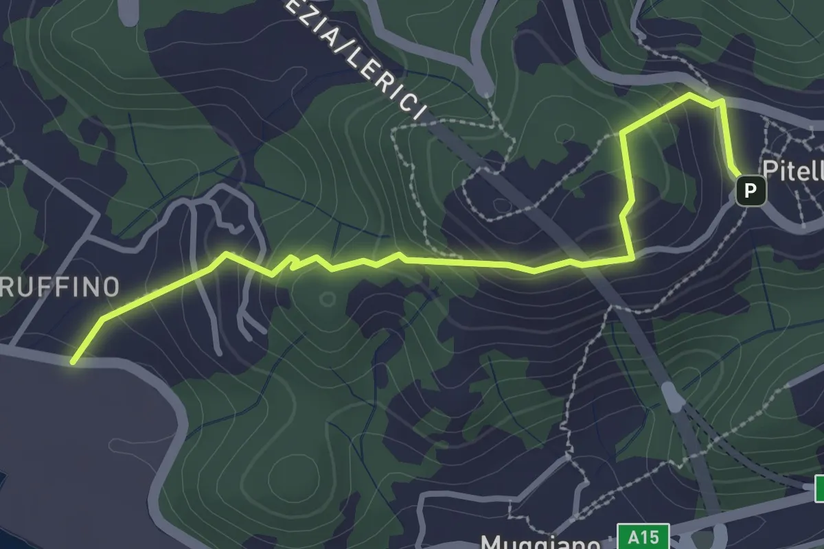
Easy · Trail
Ruffino – Pitelli
3.2 km · ↑ 224 m · 1 h 14 min · 8 km away
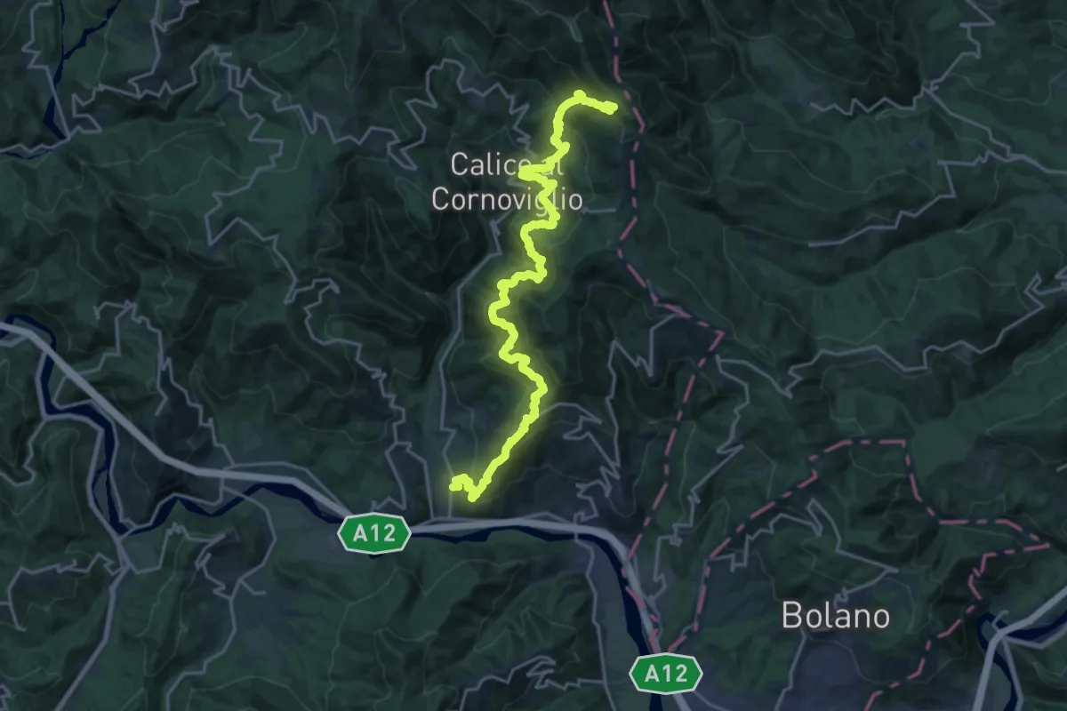
Demanding · Trail
La Pianaccia - Madrignano - Novegina di Cima - Nasso - Calice al Cornoviglio - Santa Maria - Le Cassorane - Bivio AVML
11.4 km · ↑ 1221 m · 5 h 7 min · 8 km away
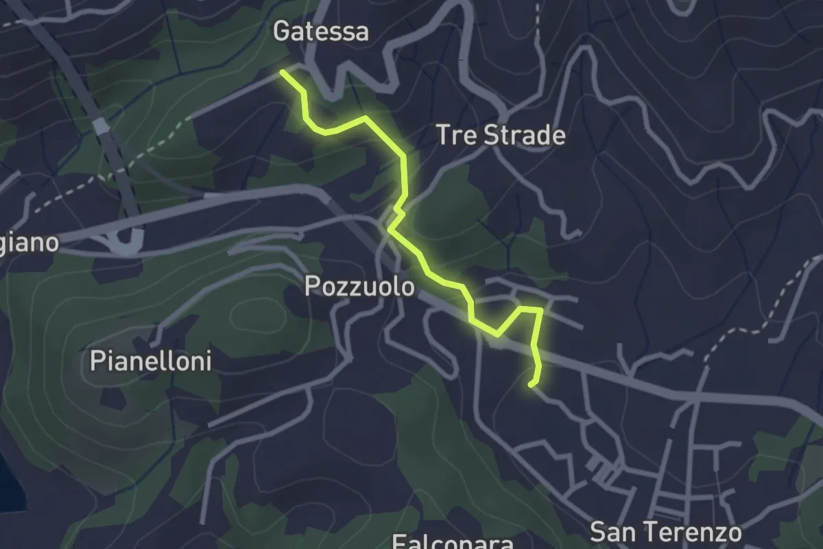
Easy · Trail
Bagnara – Pozzuolo - innesto sent. 451
2.3 km · ↑ 103 m · 46 min · 8 km away
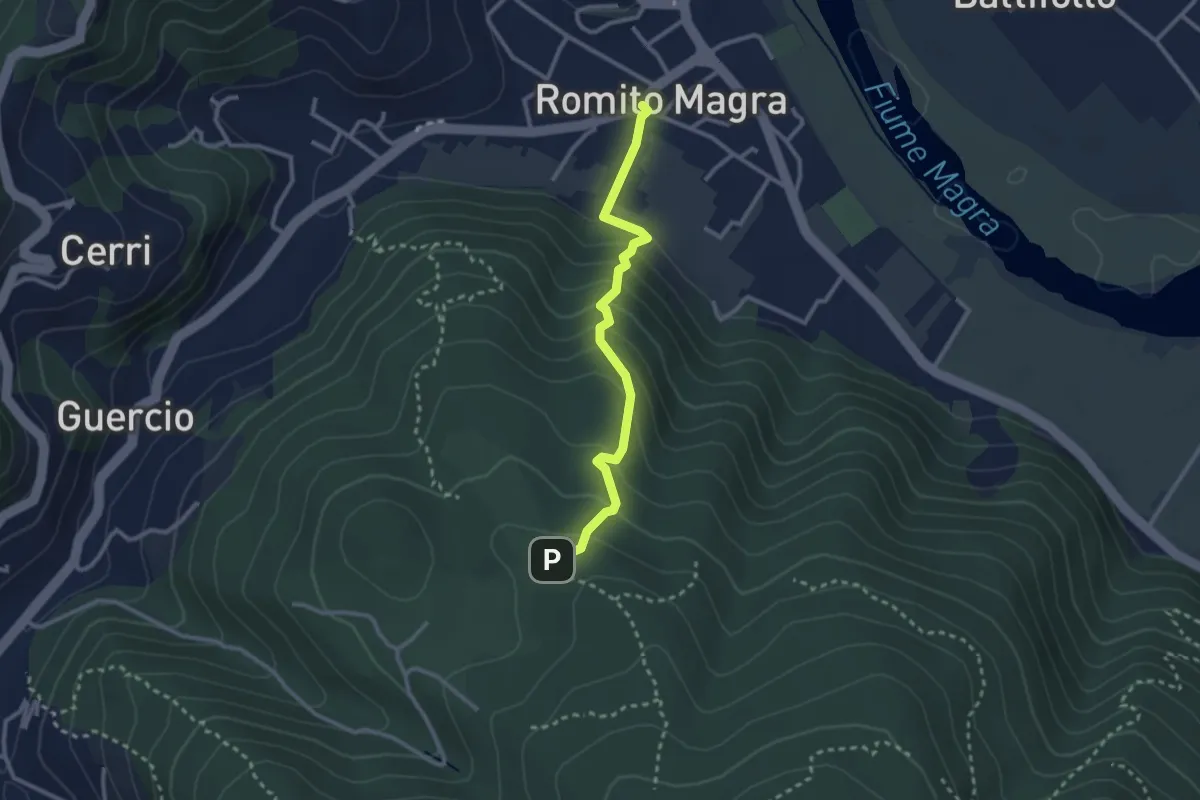
Easy · Trail
Romito Magra – S. Lorenzo
2.7 km · ↑ 214 m · 1 h 7 min · 8 km away
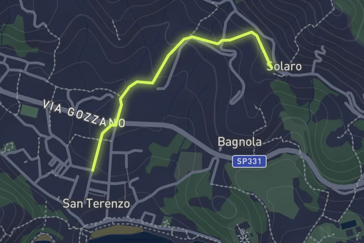
Medium · Trail
San Terenzo – Solaro
2.0 km · ↑ 77 m · 38 min · 9 km away
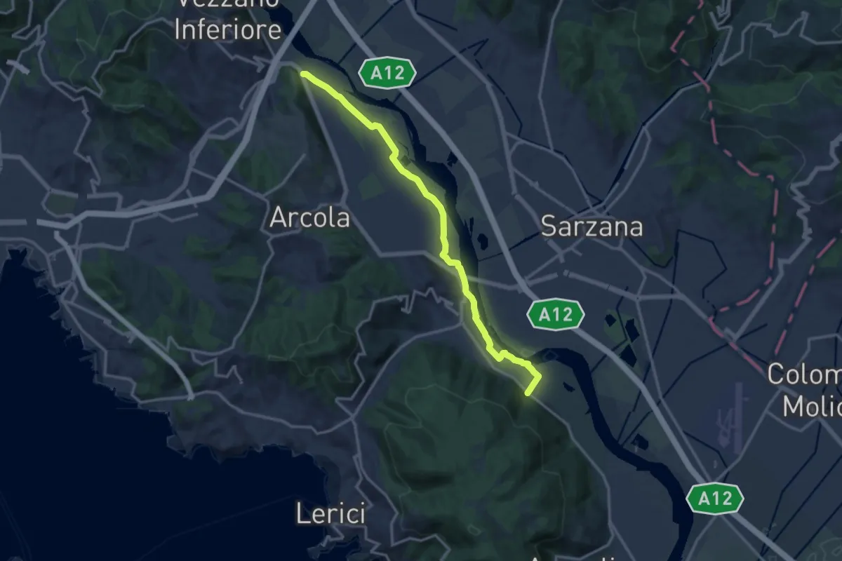
Expert · Trail
Senato – Fornola
13.8 km · ↑ 54 m · 3 h 23 min · 9 km away
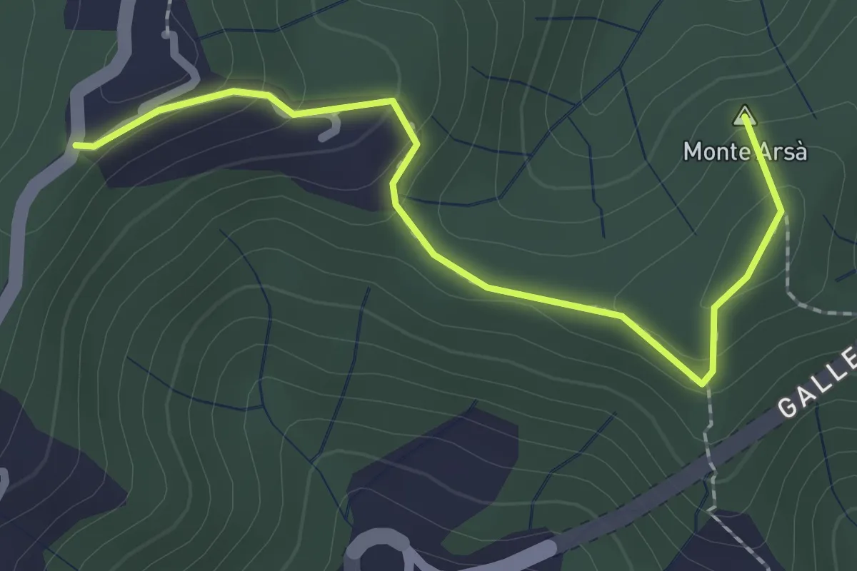
Easy · Summit
Montepertico – M. Arsà – La Moggia – innesto AVG
2.4 km · ↑ 122 m · 49 min · 9 km away
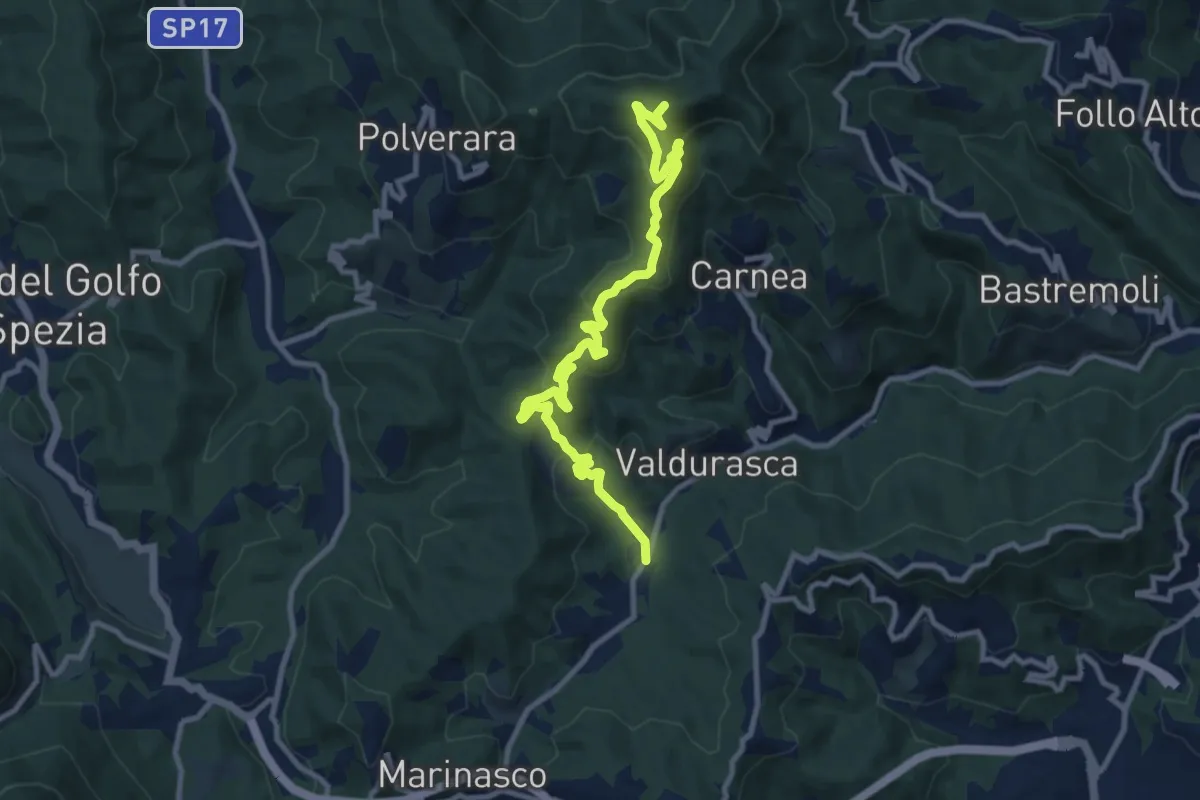
Medium · Summit
Case Palazzo – Passo di Ri – La Gretta – Monte Croce
11.8 km · ↑ 620 m · 4 h 8 min · 9 km away
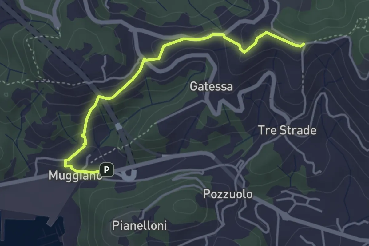
Easy · Trail
Muggiano – Sella Pin Bon
3.8 km · ↑ 194 m · 1 h 20 min · 9 km away
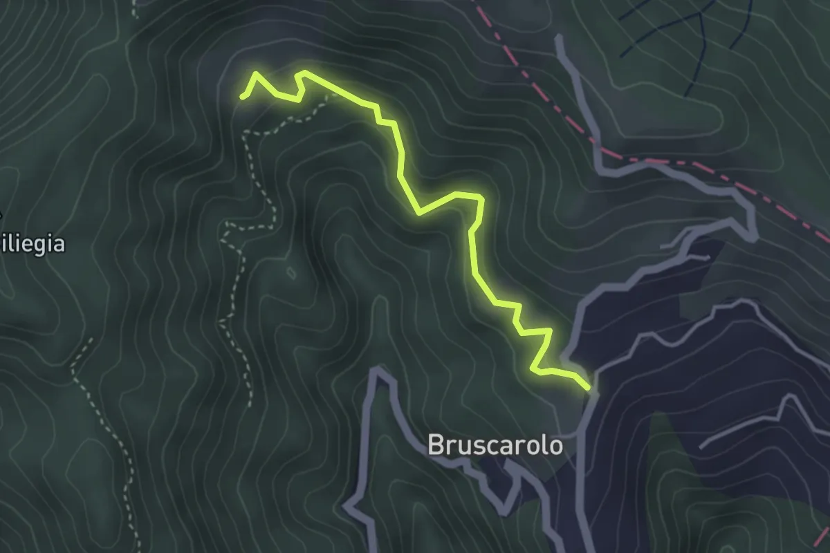
Easy · Trail
Bruscarolo - Case Carzachi
3.5 km · ↑ 244 m · 1 h 22 min · 9 km away
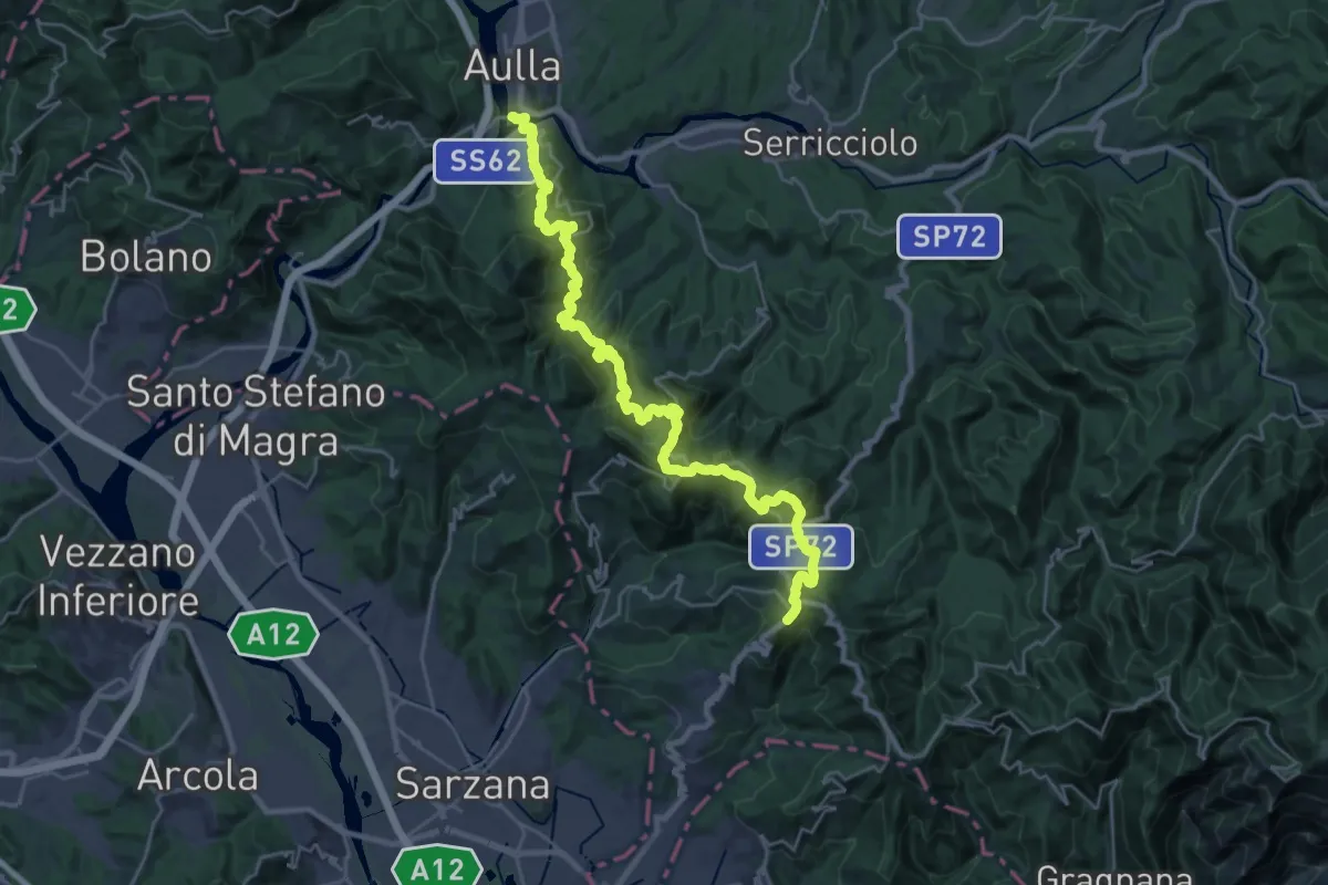
Demanding · Trail
Trekking Lunigiana 13
15.3 km · ↑ 597 m · 5 h 19 min · 9 km away
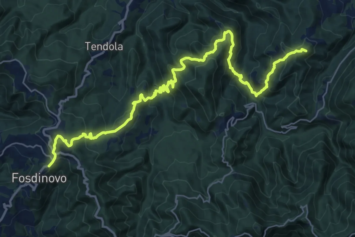
Demanding · Summit
Trekking Lunigiana 12
24.6 km · ↑ 1378 m · 8 h 48 min · 9 km away
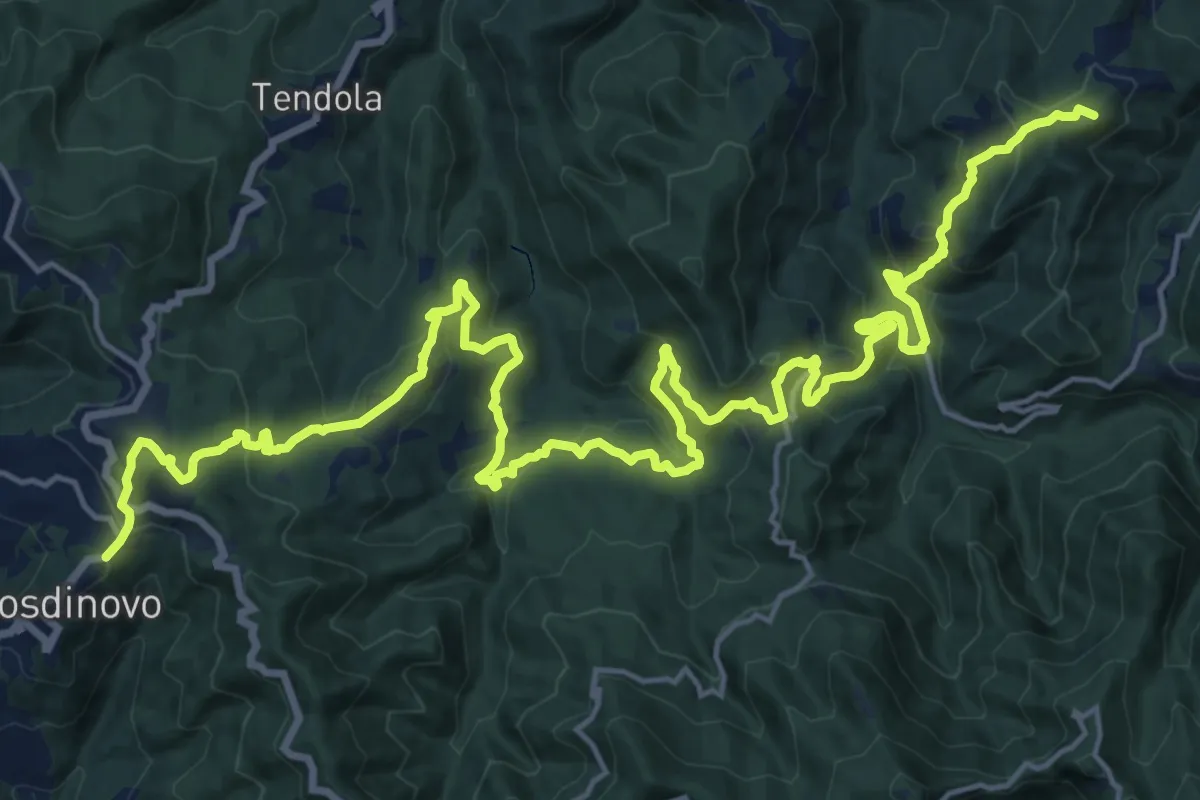
Demanding · Summit
Sentiero dei Ducati Tappa 11
28.7 km · ↑ 1420 m · 9 h 51 min · 9 km away
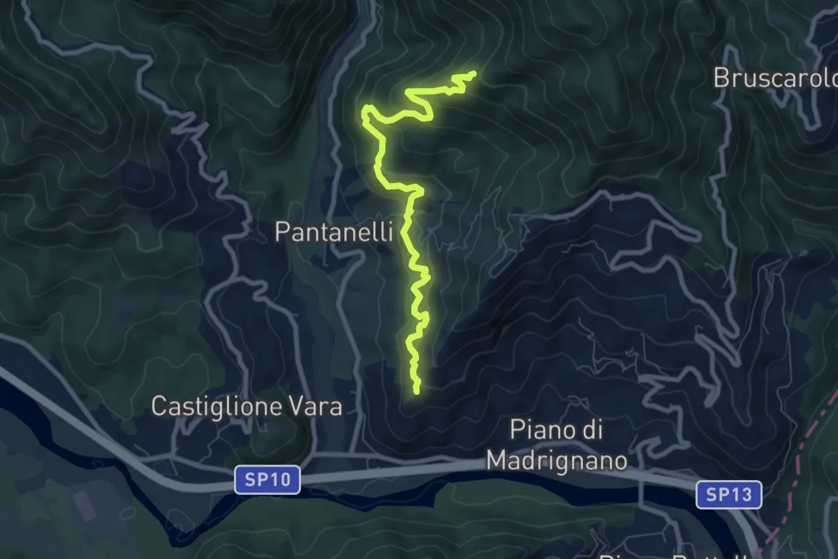
Medium · Trail
La Pianaccia - Case Carpenedo - Usurana - Novegina di Cima
7.6 km · ↑ 503 m · 2 h 53 min · 9 km away
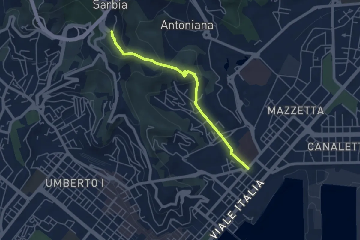
Easy · Trail
Via Veneto – Valdellora – Castellazzo – Sarbia
4.1 km · ↑ 153 m · 1 h 18 min · 9 km away
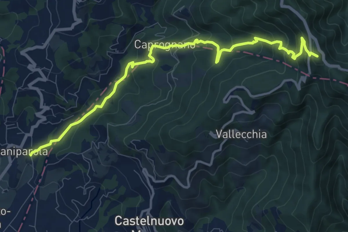
Medium · Summit
Caniparola – Strada Provinciale 51 - SP73
11.0 km · ↑ 629 m · 3 h 57 min · 9 km away
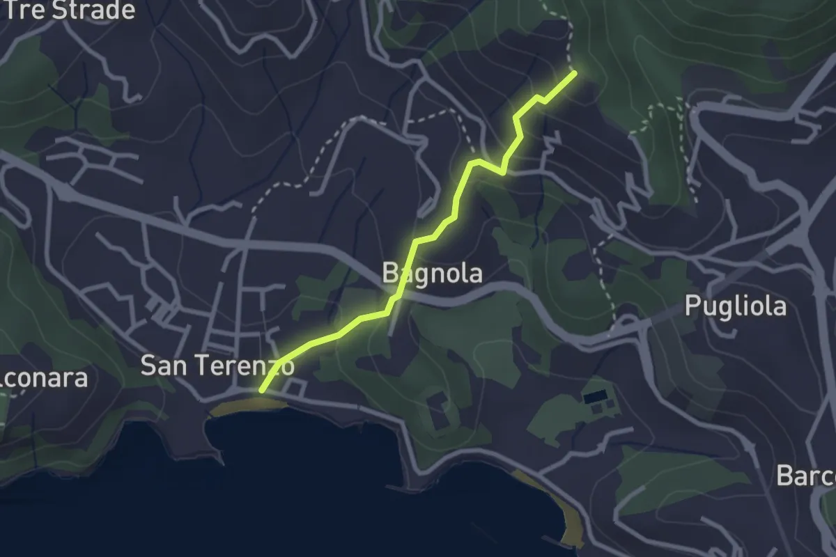
Medium · Trail
San Terenzo - Bagnola – Solaro – P.so della Cisterna
2.4 km · ↑ 156 m · 54 min · 9 km away
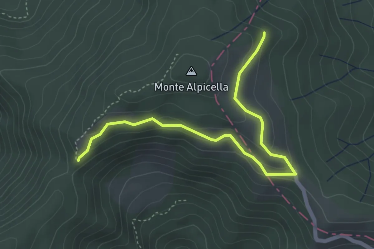
Easy · Trail
Foce Carzachi – Alpicella
4.5 km · ↑ 175 m · 1 h 26 min · 9 km away
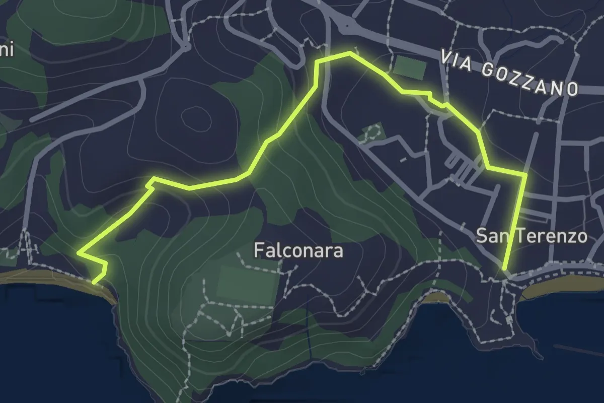
Easy · Trail
San Terenzo – Baia Blu
2.9 km · ↑ 127 m · 58 min · 9 km away
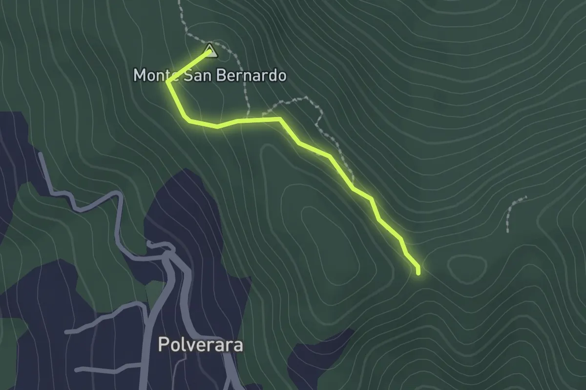
Medium · Summit
Costa di S.Bernardo – Sella del M. Grosso
1.8 km · ↑ 66 m · 33 min · 9 km away
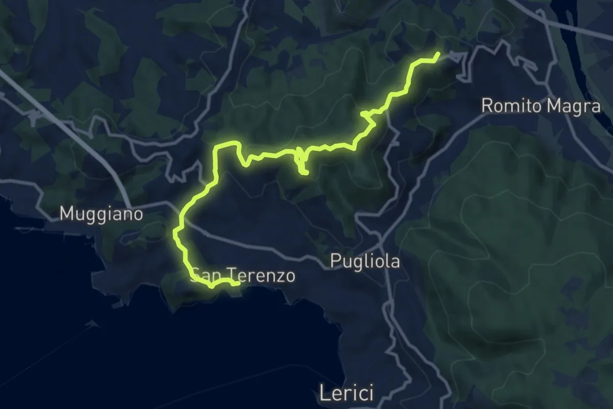
Medium · Summit
San Terenzo - Pozzuolo – sella Pin Bon – Trebiano
11.8 km · ↑ 598 m · 4 h 5 min · 9 km away
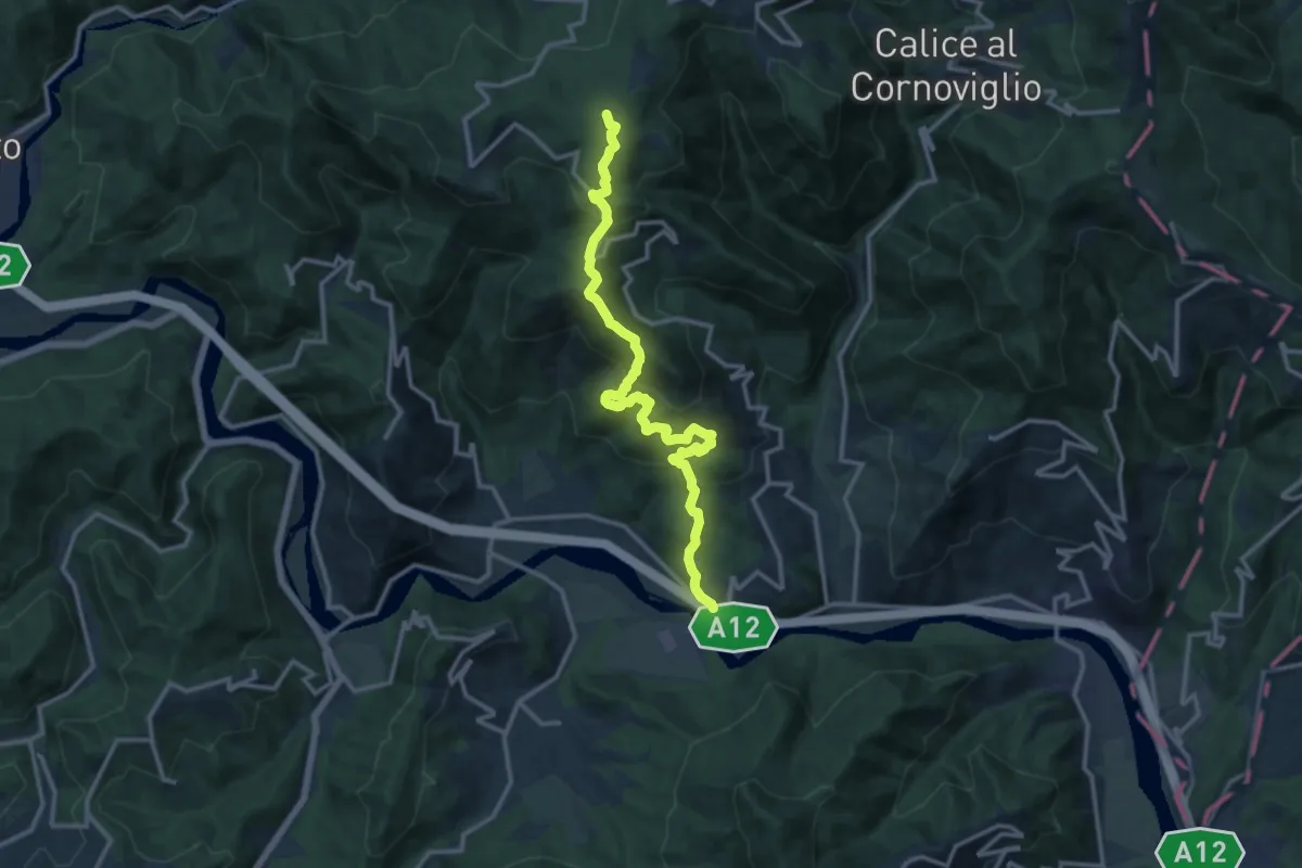
Demanding · Summit
San Remigio – Case Andreotti – Carme di Garbugliaga (Bivio 152)
14.1 km · ↑ 865 m · 5 h 12 min · 9 km away
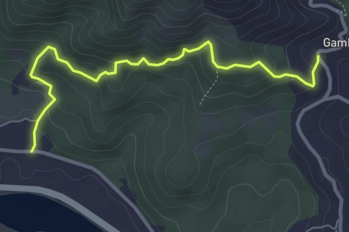
Easy · Trail
Cavanella – Gambella
5.6 km · ↑ 314 m · 2 h 1 min · 10 km away
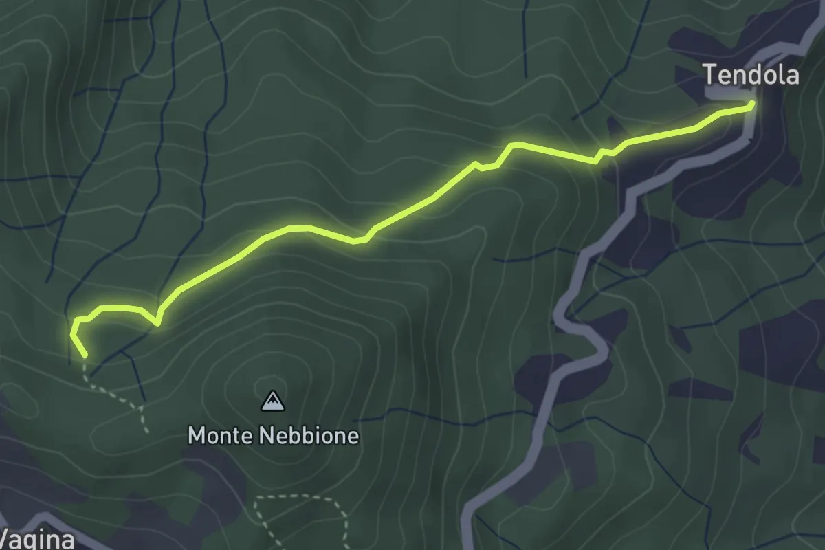
Easy · Trail
paese Tendola – Sentiero CAI 290
3.7 km · ↑ 221 m · 1 h 21 min · 10 km away
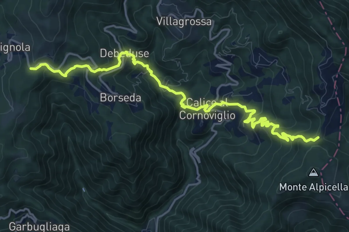
Demanding · Trail
Foce Veppo - Debeduse – Terugiara - Calice al Cornoviglio - Alpicella
13.8 km · ↑ 841 m · 5 h 4 min · 10 km away
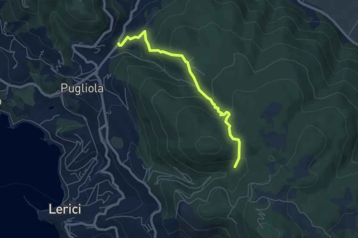
Medium · Trail
Guercio - Canale Dei Sardi - Case Di Monte Branzi
5.1 km · ↑ 356 m · 1 h 58 min · 10 km away
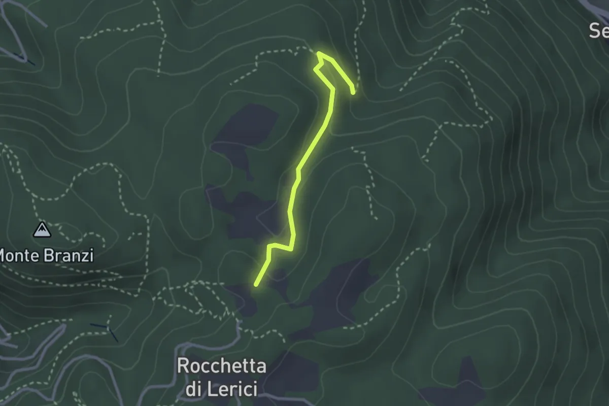
Easy · Trail
Campo Di Già – Canale Del Marzo
2.4 km · ↑ 93 m · 46 min · 10 km away
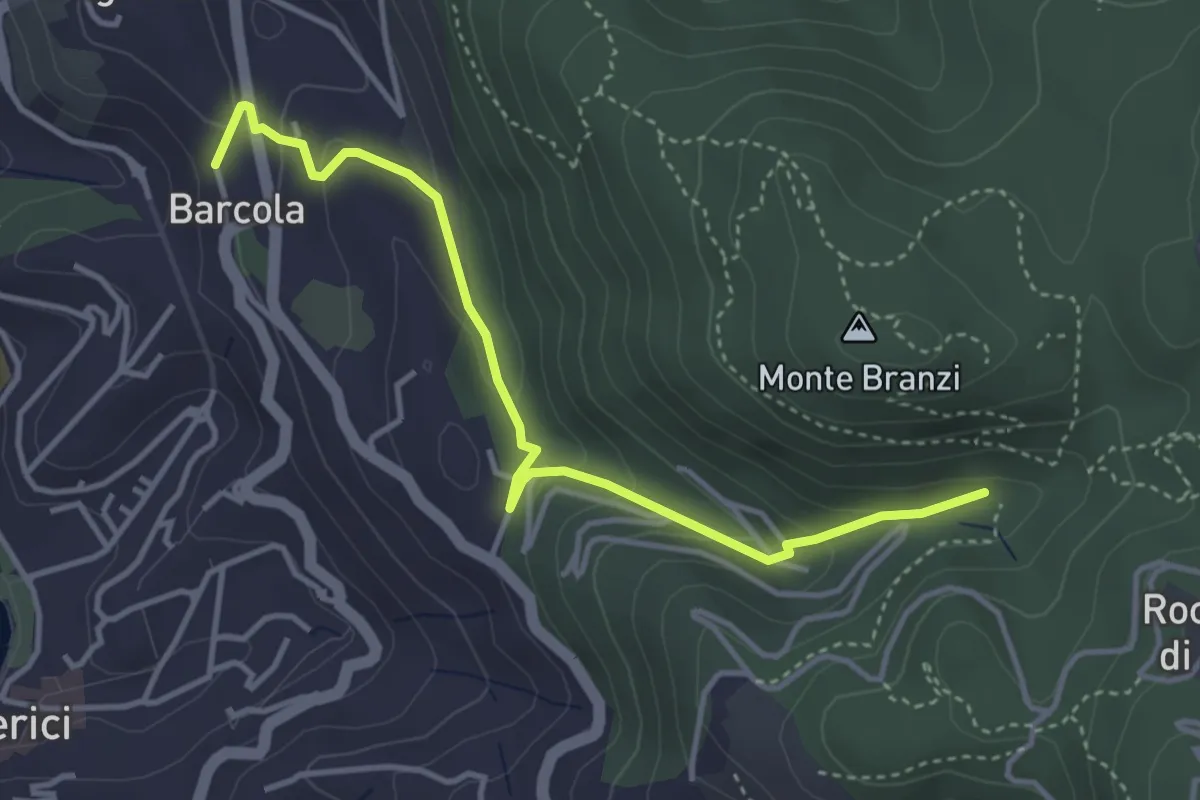
Easy · Trail
Via Le Codine – Via Barcola
4.2 km · ↑ 171 m · 1 h 22 min · 10 km away
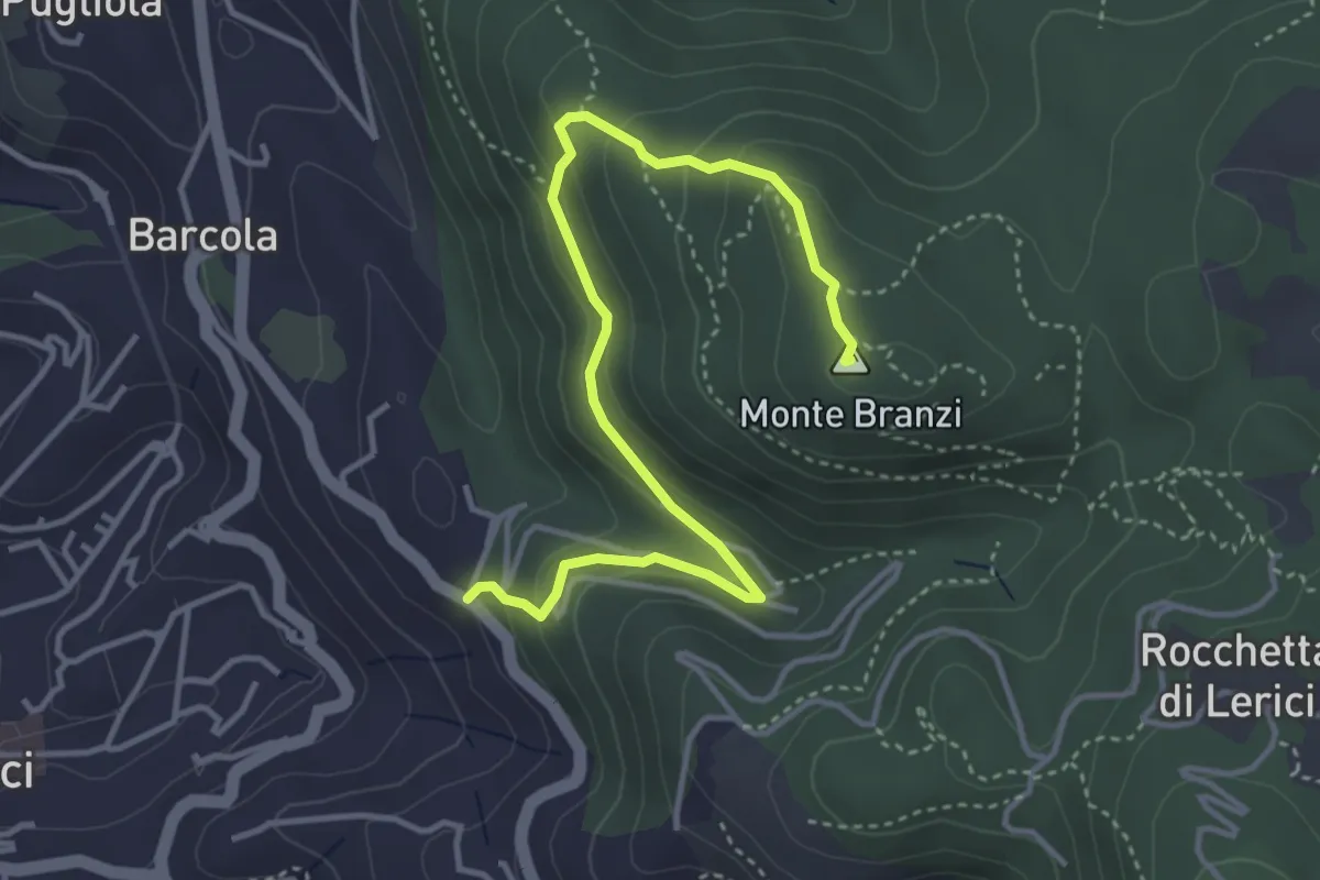
Medium · Summit
Catene - Canale di Redarca – M. Branzi
4.6 km · ↑ 210 m · 1 h 33 min · 10 km away
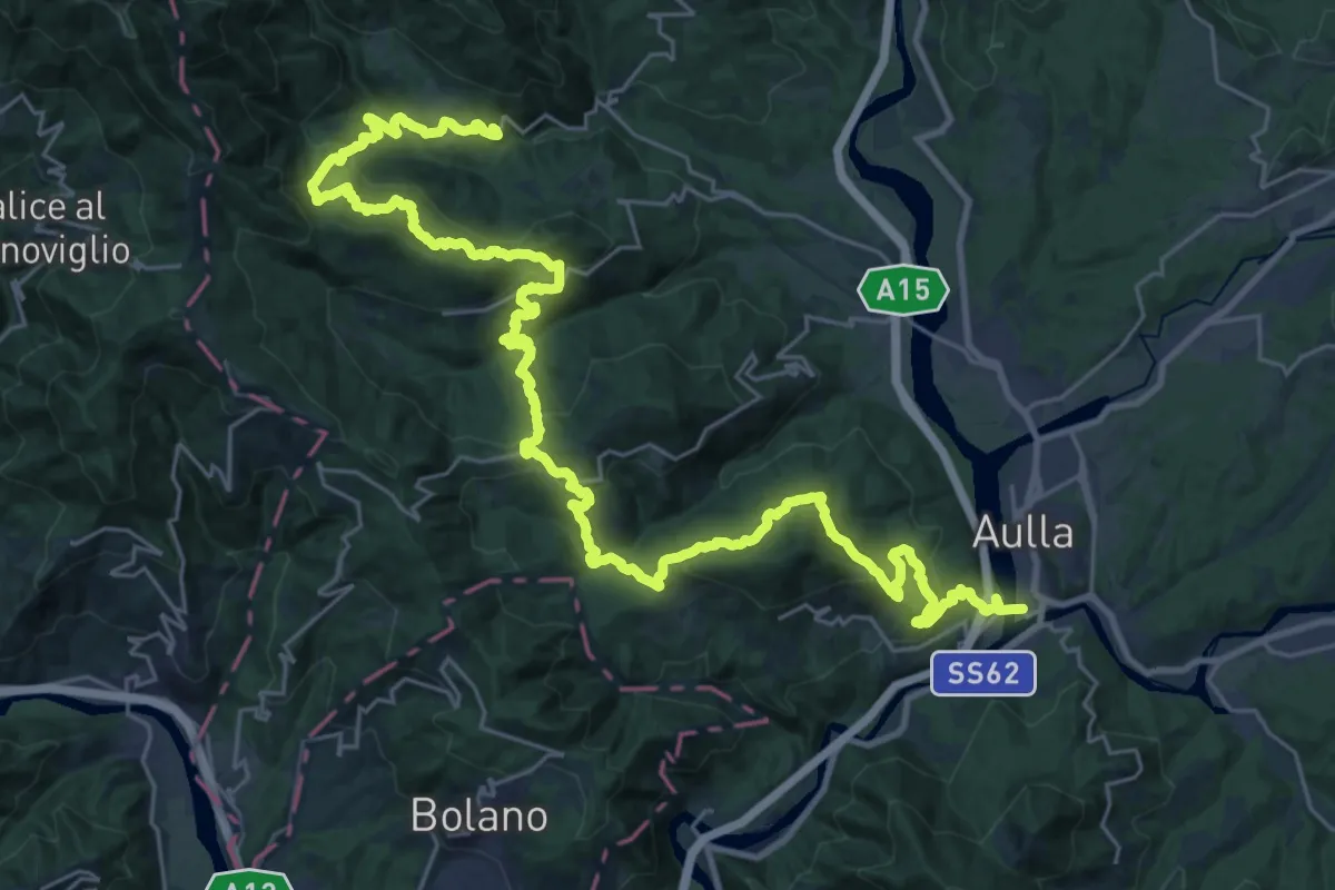
Demanding · Trail
Trekking Lunigiana 1
20.5 km · ↑ 935 m · 7 h 16 min · 10 km away
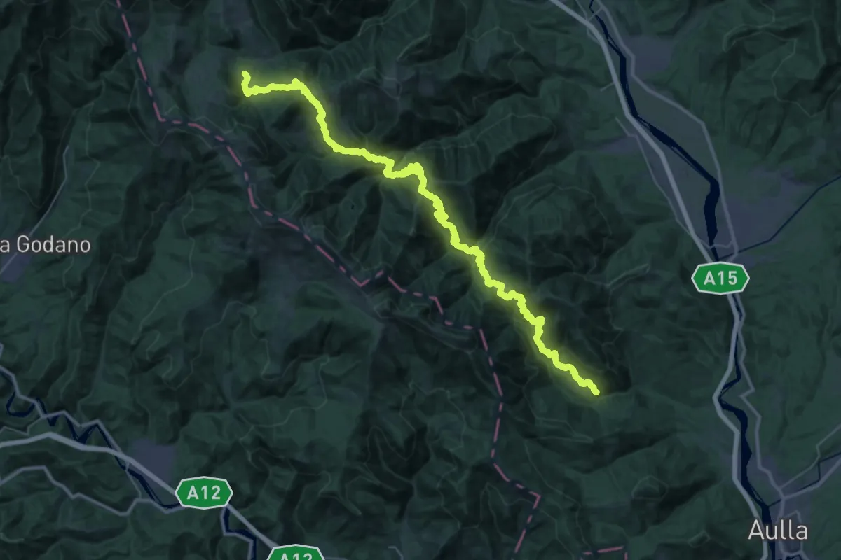
Demanding · Trail
Trekking Lunigiana 2
23.4 km · ↑ 1648 m · 9 h 14 min · 10 km away
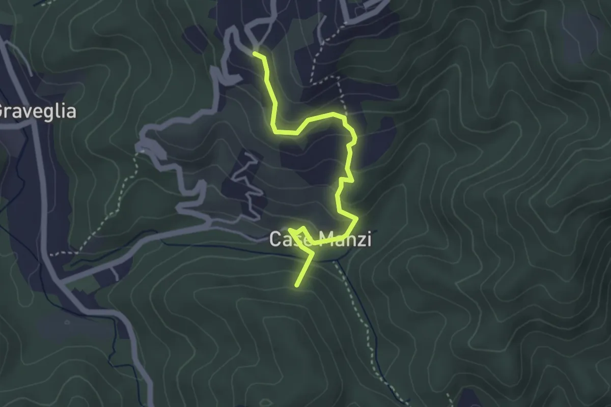
Easy · Summit
Passo di Ri - Case Ri - Polverara
3.5 km · ↑ 229 m · 1 h 19 min · 10 km away