Trails near Santo Stefano di Magra
216 hikes starting within 15 km, nearest first.
Nearest first, page 3 of 5
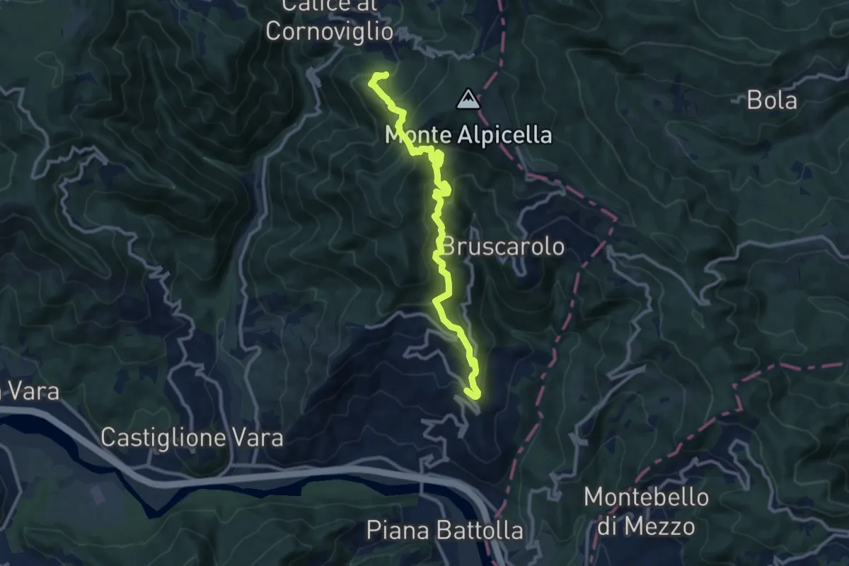
Demanding · Trail
Tranci di Sotto - Provedasco - Case Carzachi - Foce Carzachi - Nasso di Sopra
10.9 km · ↑ 845 m · 4 h 24 min · 10 km away
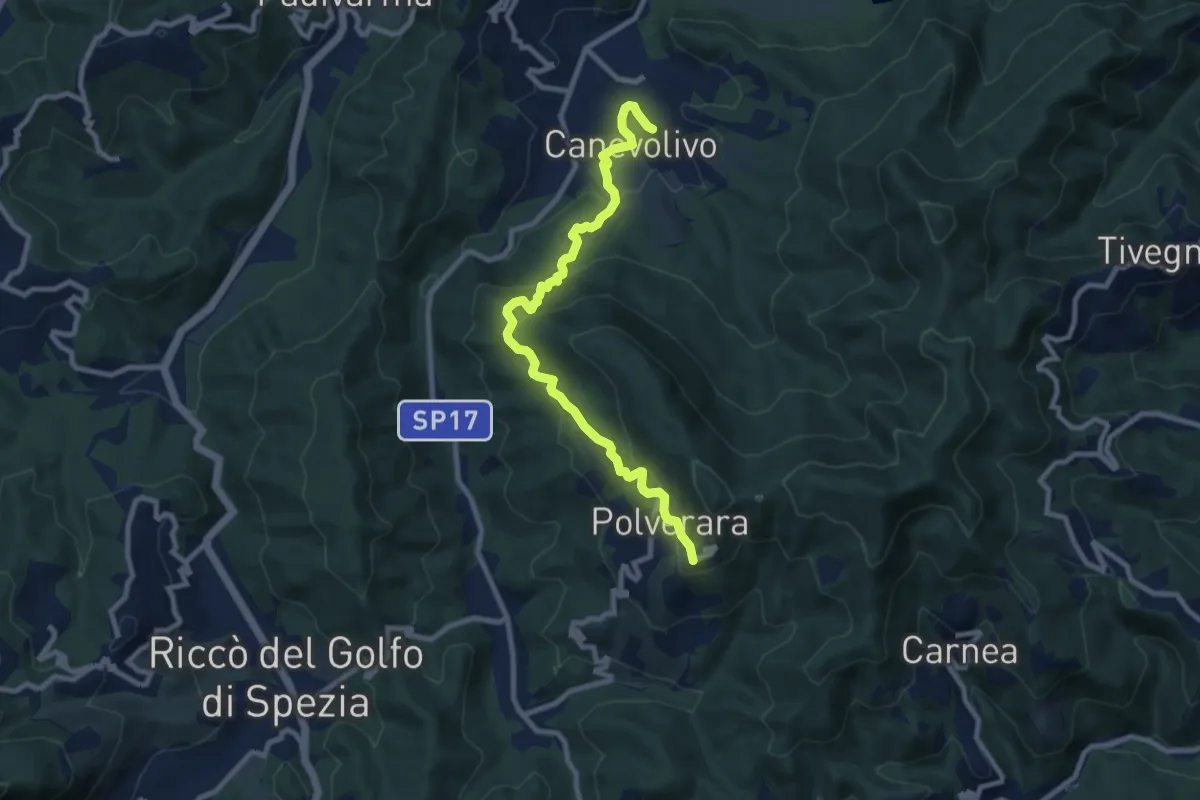
Medium · Trail
Cane Volivo – Scortica – Polverara
9.7 km · ↑ 520 m · 3 h 25 min · 10 km away
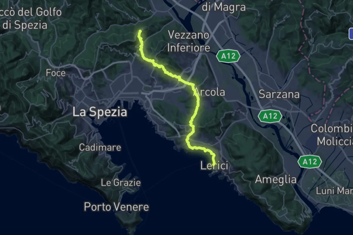
Demanding · Summit
Sentiero Liguria - Tappa 2
27.0 km · ↑ 997 m · 8 h 32 min · 10 km away
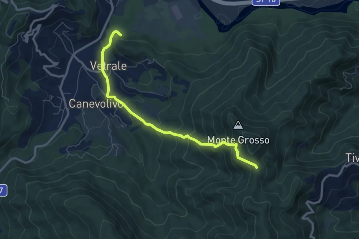
Medium · Trail
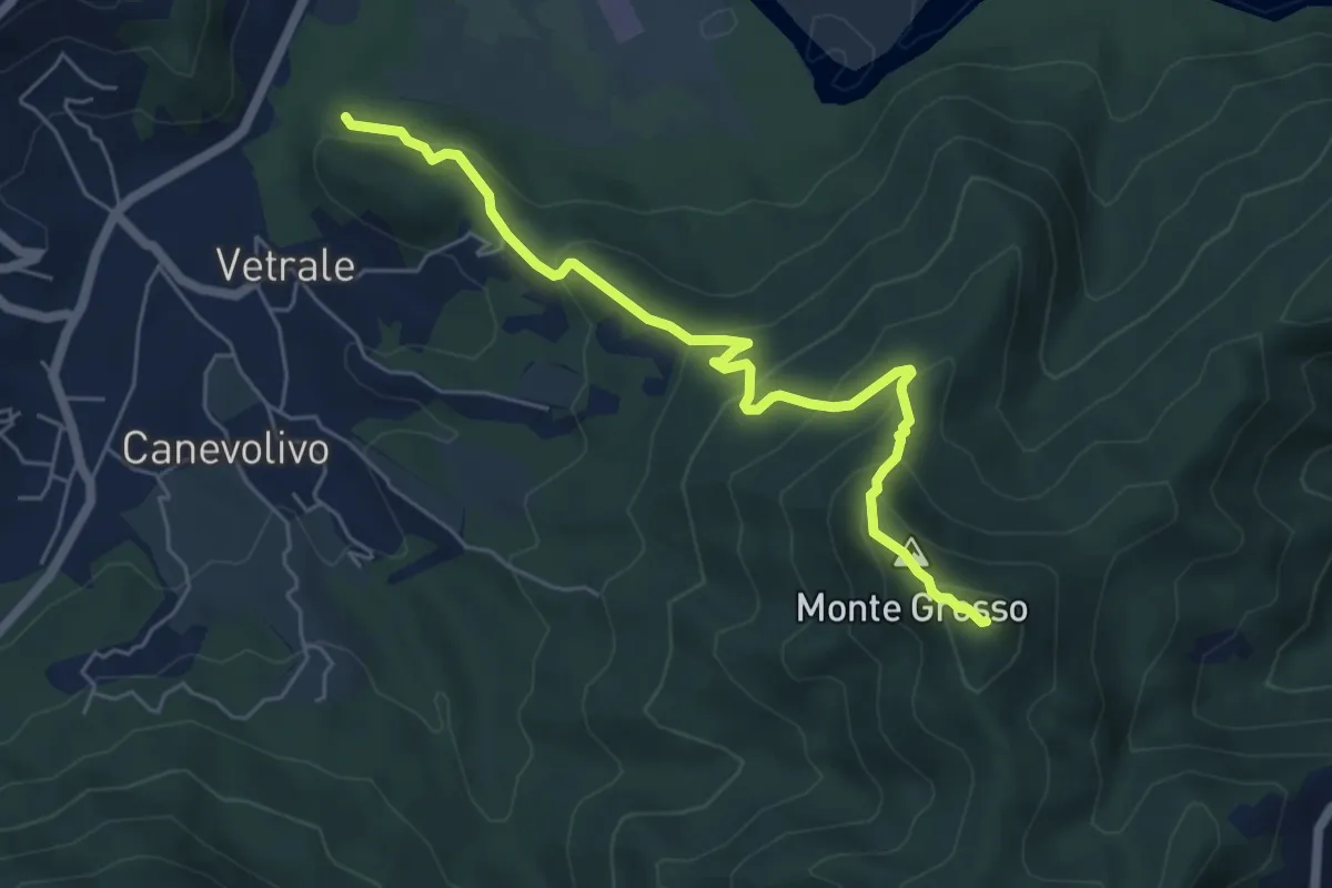
Vetrale – Monte Grosso
6.8 km · ↑ 462 m · 2 h 36 min · 10 km away
Demanding · Summit
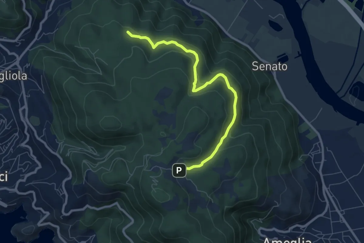
Piano di Beverino – Monte Termi dritti
6.2 km · ↑ 449 m · 2 h 26 min · 10 km away
Medium · Trail
San Lorenzo – Cambia
7.3 km · ↑ 383 m · 2 h 33 min · 10 km away
Medium · Trail
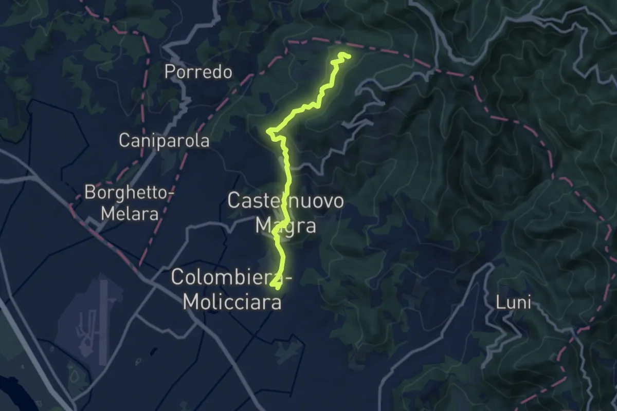
M.no del Piano - Castelnuovo Magra - Casala
9.1 km · ↑ 572 m · 3 h 23 min · 10 km away
Easy · Trail
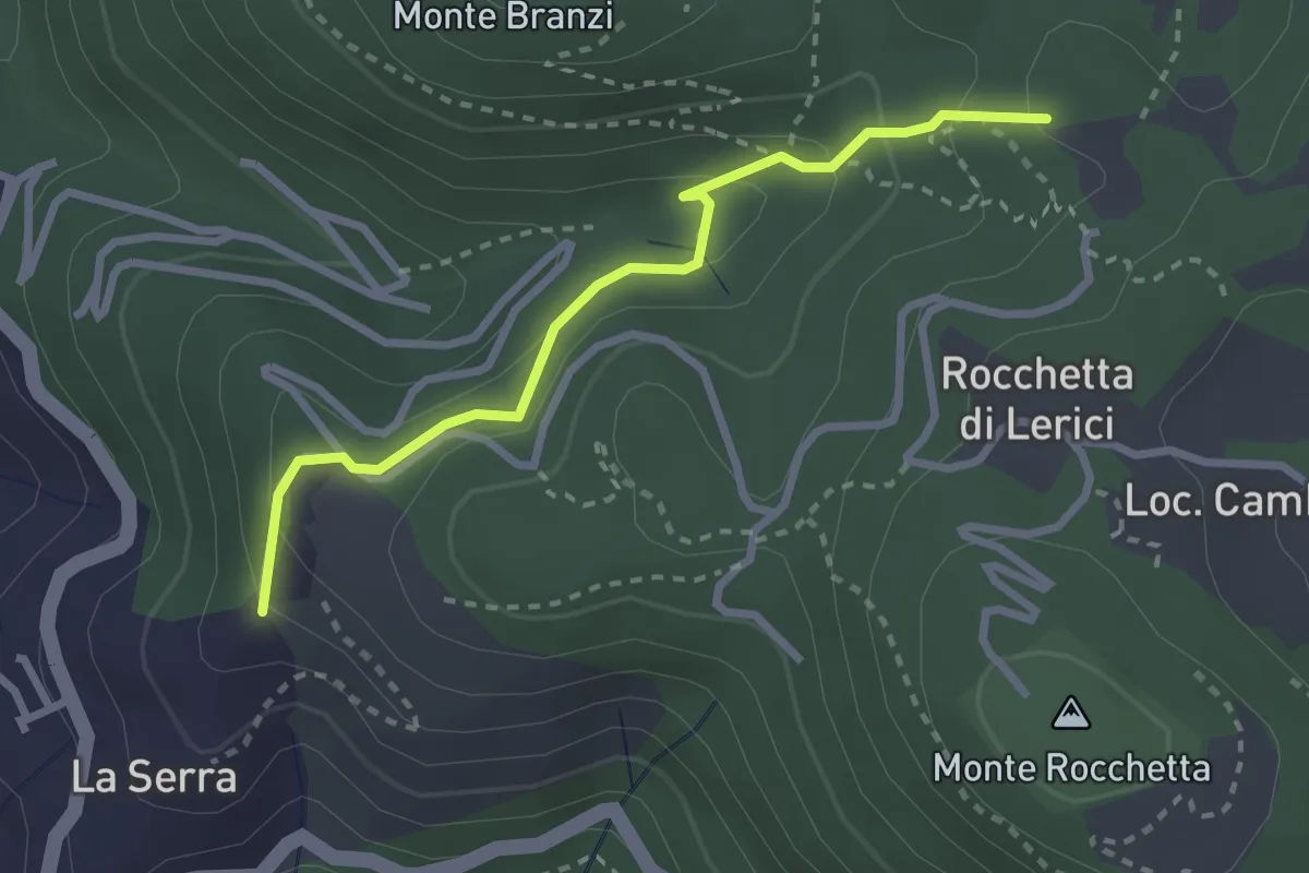
La Serra - Redarca - Villa "Il Fodo" - Campo Di Già
2.8 km · ↑ 159 m · 1 h · 10 km away
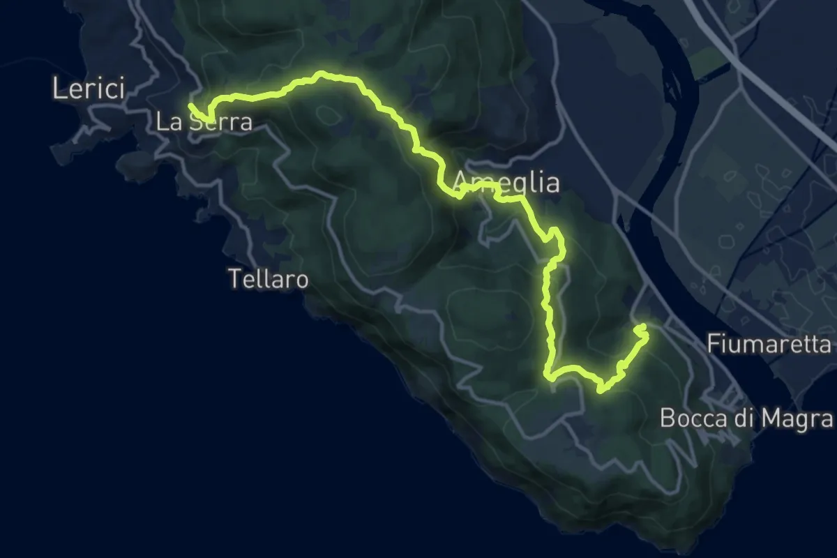
Demanding · Trail
La Ferrara – La Serra
16.1 km · ↑ 1068 m · 6 h 7 min · 10 km away
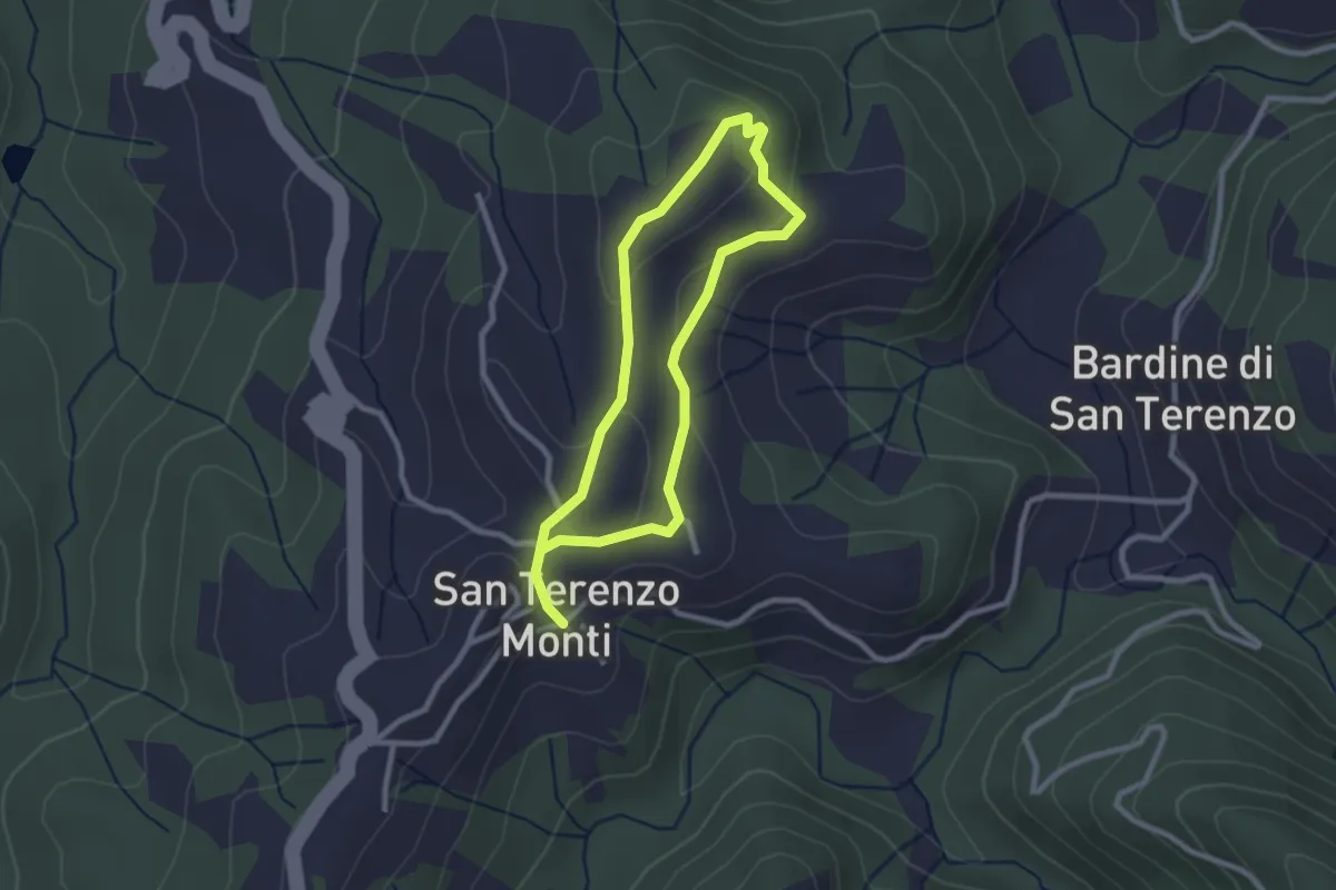
Easy · Trail
Sentiero della Memoria San Terenzo - Valla
2.2 km · ↑ 45 m · 39 min · 11 km away
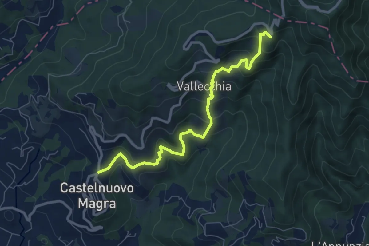
Medium · Trail
Castelnuovo Magra – Case Bertella
7.3 km · ↑ 567 m · 2 h 57 min · 11 km away
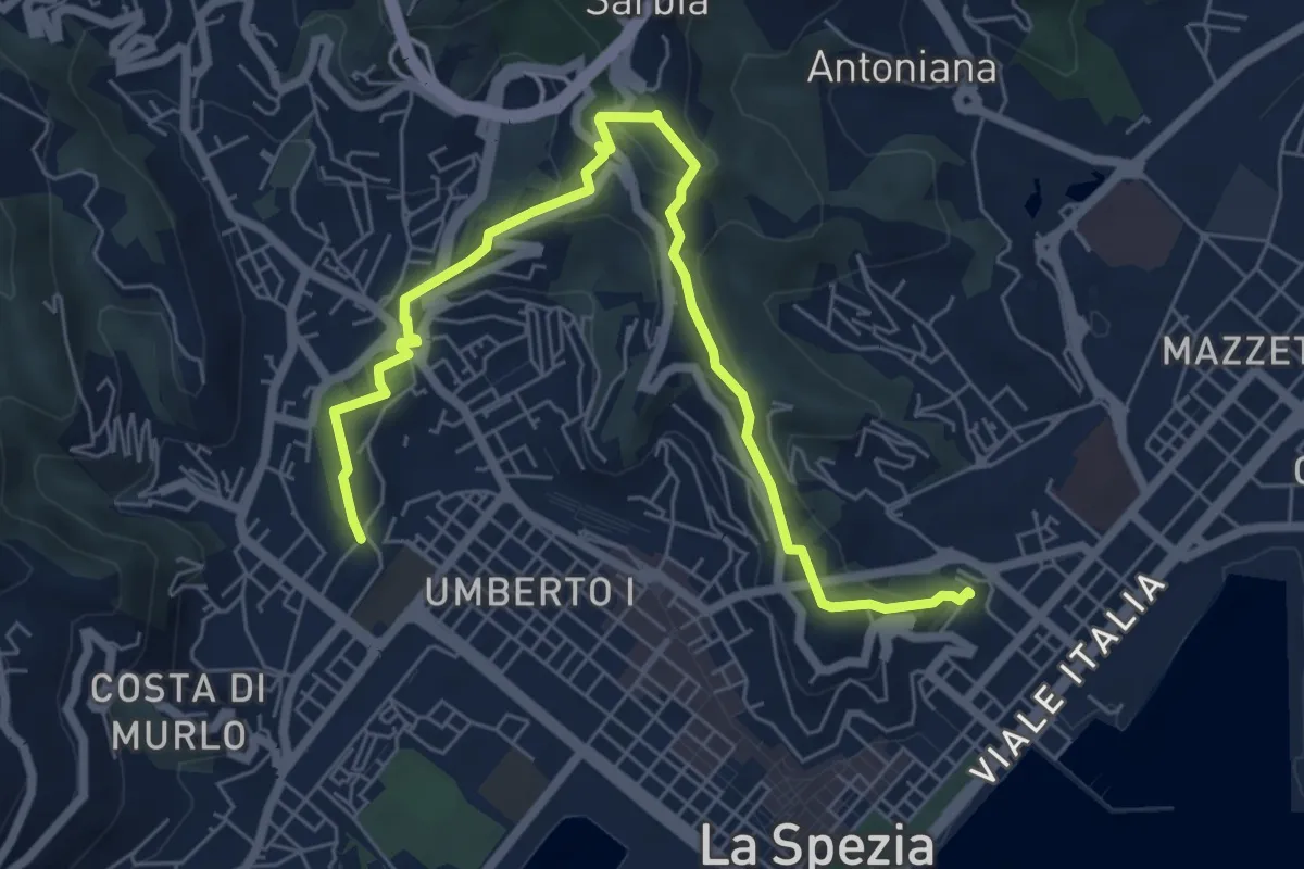
Medium · Trail
Giro delle Mura
7.8 km · ↑ 325 m · 2 h 33 min · 11 km away
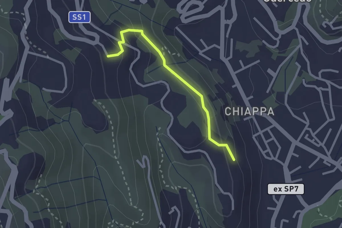
Easy · Trail
Maggiano – Bocca Lupara
2.1 km · ↑ 122 m · 46 min · 11 km away
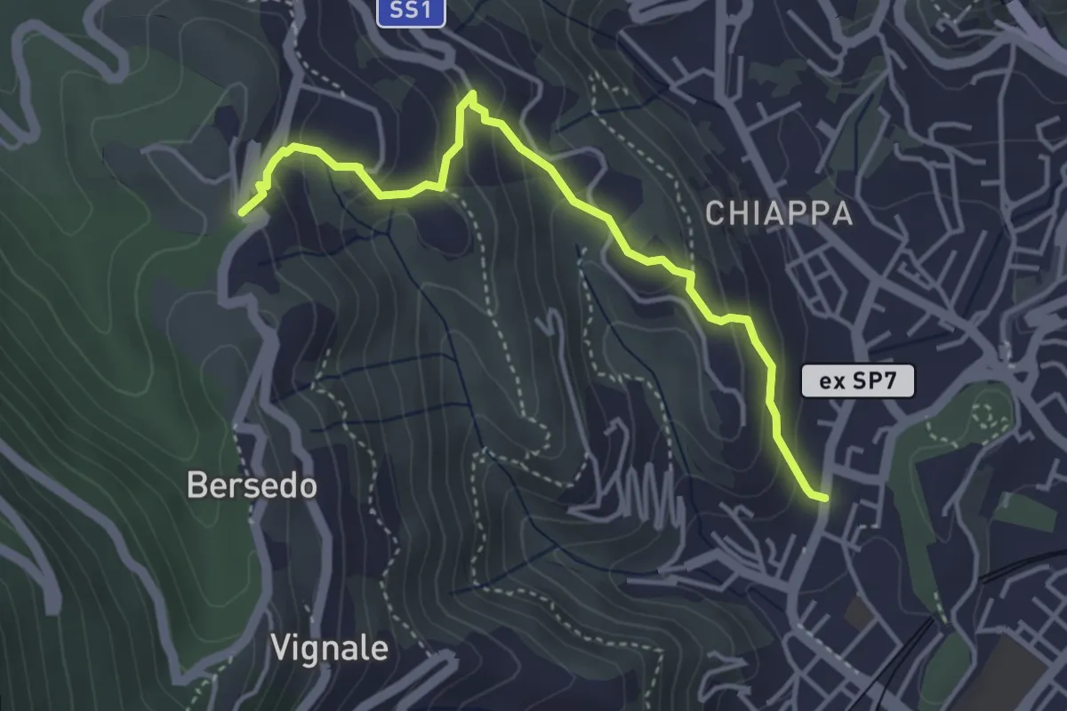
Easy · Trail
Rebocco – Sant'Anna
4.1 km · ↑ 270 m · 1 h 34 min · 11 km away
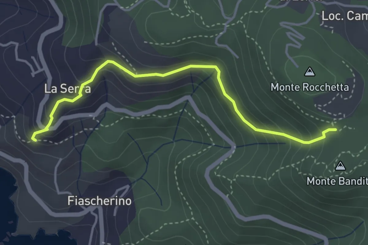
Easy · Trail
La Serra – Sella Monte Rocchetta
3.8 km · ↑ 284 m · 1 h 30 min · 11 km away
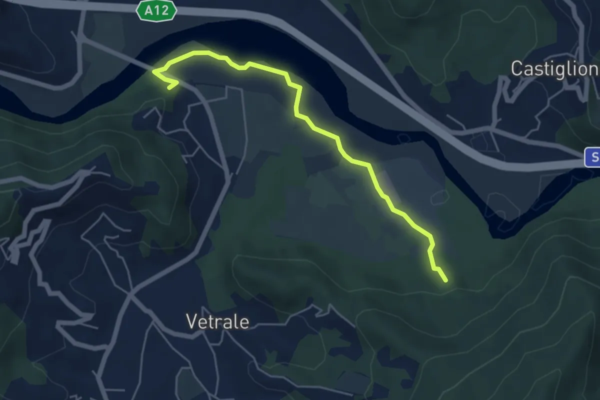
Medium · Trail
Il Palazzo – Cortica Vecchia
4.9 km · ↑ 38 m · 1 h 14 min · 11 km away
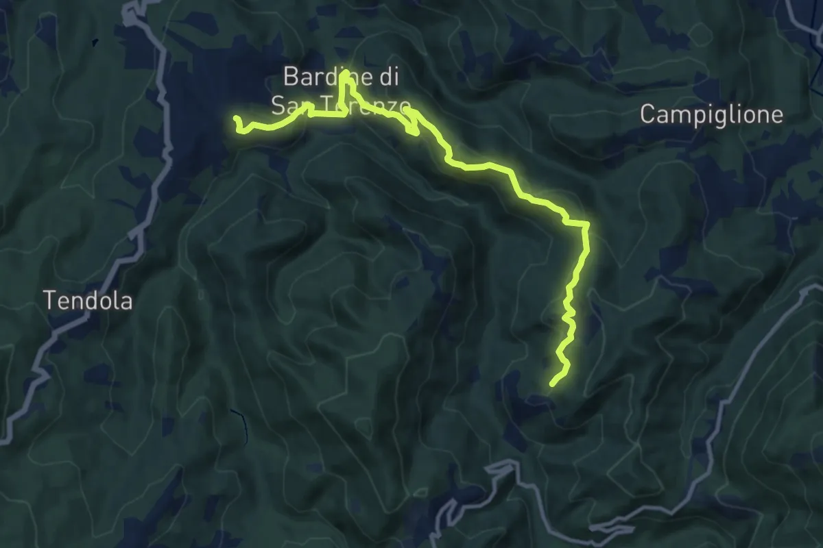
Medium · Trail
San Terenzo – Cecina
12.4 km · ↑ 595 m · 4 h 13 min · 11 km away
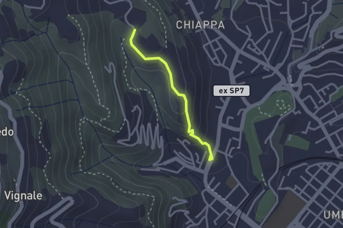
Easy · Trail
Rebocco – Torracca Inferiore
2.0 km · ↑ 99 m · 41 min · 11 km away
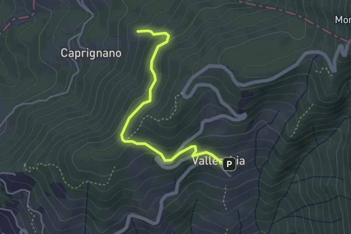
Easy · Trail
Vallecchia – M. Doglio - Il Tofo
3.5 km · ↑ 180 m · 1 h 14 min · 11 km away
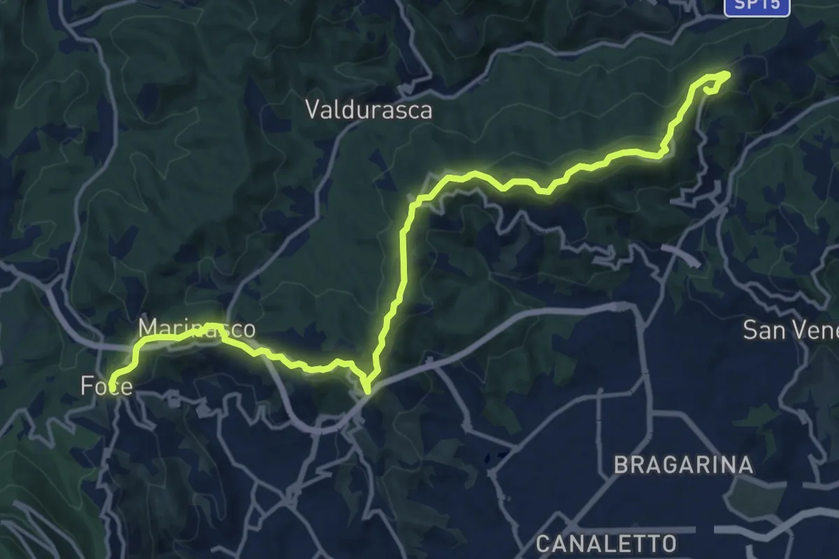
Medium · Summit
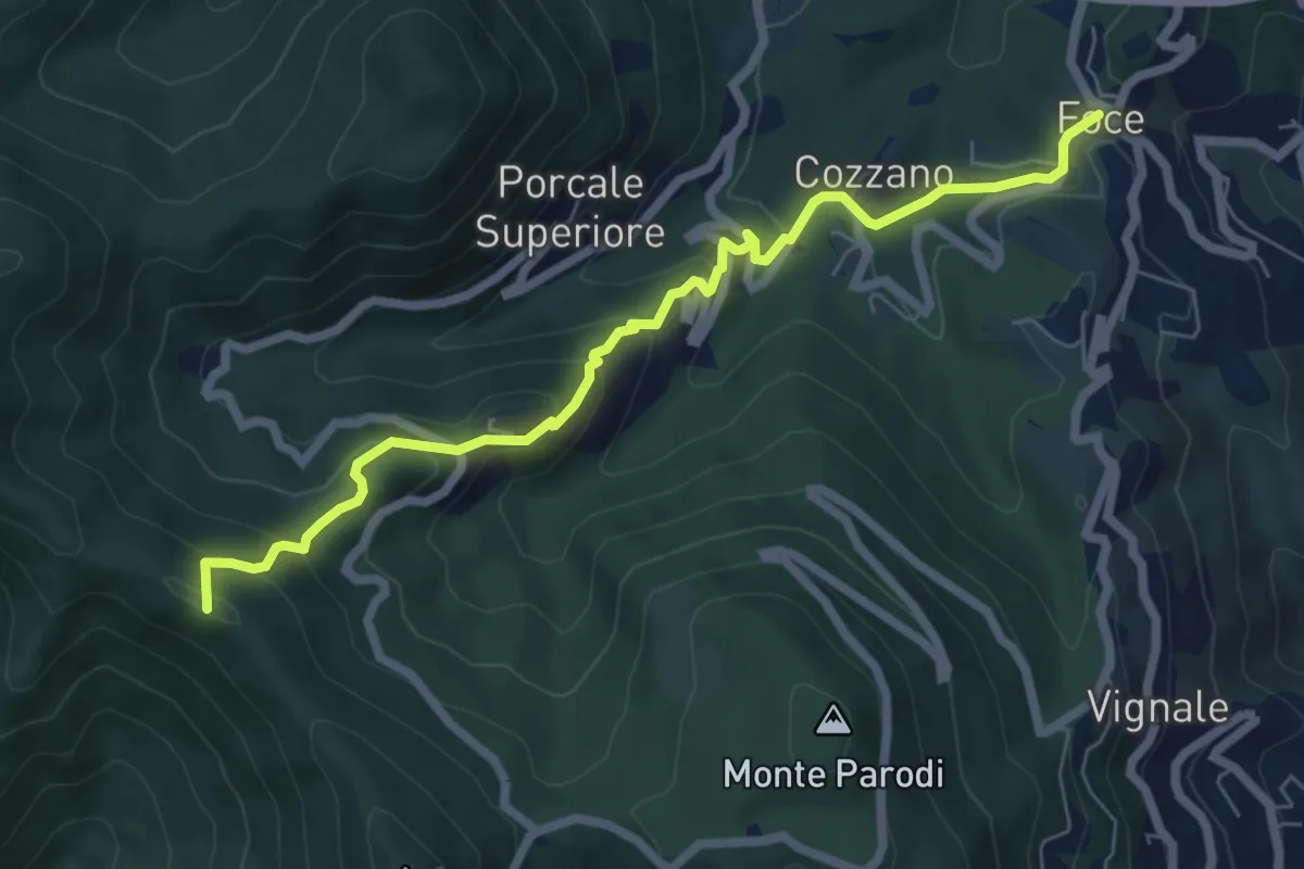
Alta Via del Golfo: Il Termo - La Foce
17.1 km · ↑ 574 m · 5 h 16 min · 11 km away
Medium · Summit
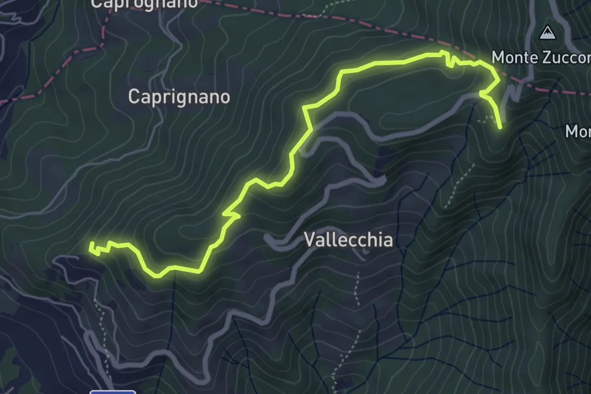
Sentiero 501 - Riomaggiore – Sella La Croce – Carpena – La Foce
7.1 km · ↑ 457 m · 2 h 40 min · 11 km away
Medium · Trail
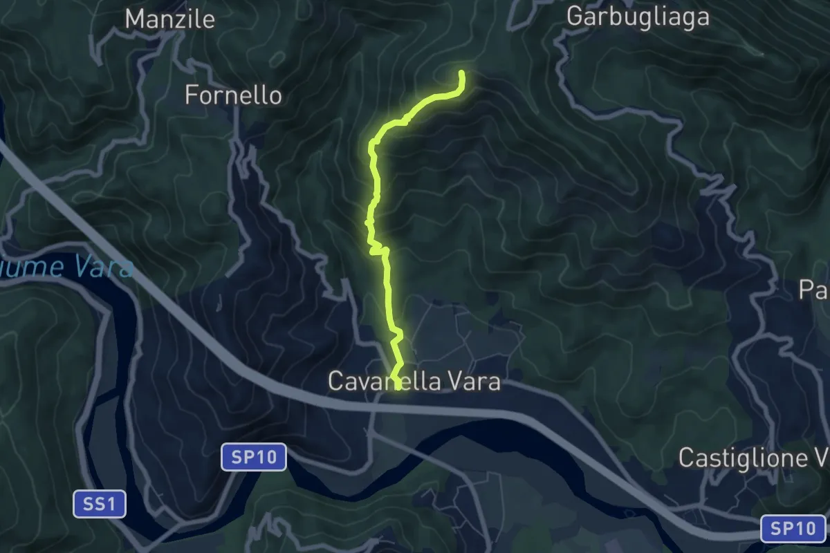
Monte Doglio – Case Bertella
6.4 km · ↑ 363 m · 2 h 18 min · 11 km away
Medium · Summit
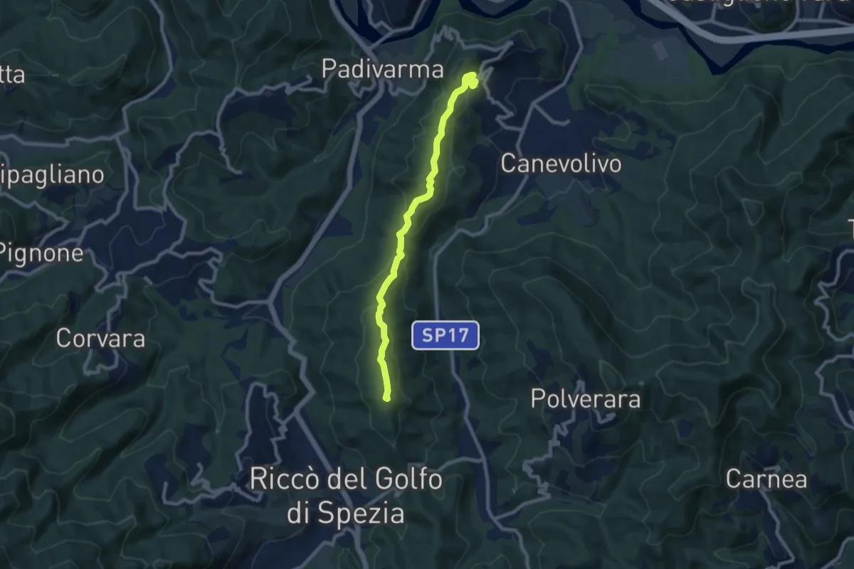
Cavanella – Bric Arvota – (Bivio 159)
5.5 km · ↑ 485 m · 2 h 21 min · 11 km away
Medium · Summit
San Benedetto – Beverino
8.3 km · ↑ 342 m · 2 h 42 min · 11 km away
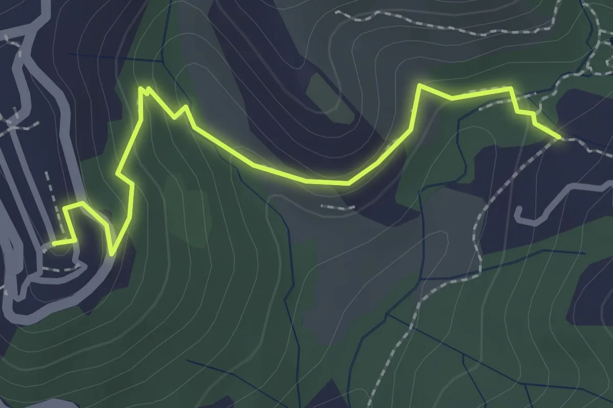
Easy · Trail
Sentiero 301 – Sentiero 302
2.6 km · ↑ 109 m · 50 min · 11 km away
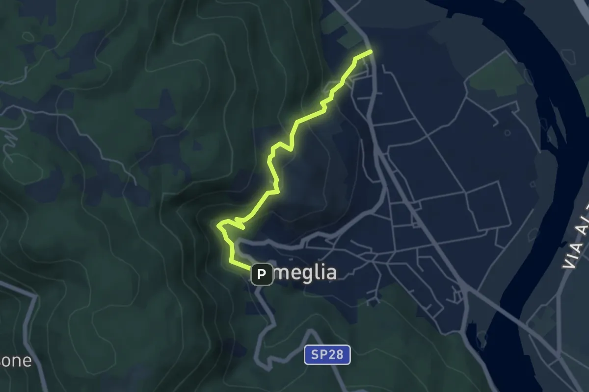
Easy · Trail
Fiume Magra – Camisano – C. Pianca – Ameglia
4.4 km · ↑ 307 m · 1 h 43 min · 11 km away
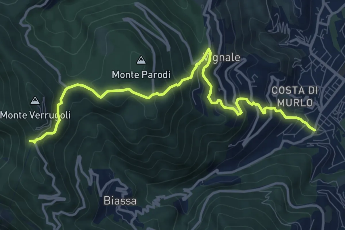
Demanding · Trail
Pegazzano – Bivio Bramapane
10.3 km · ↑ 802 m · 4 h 10 min · 11 km away
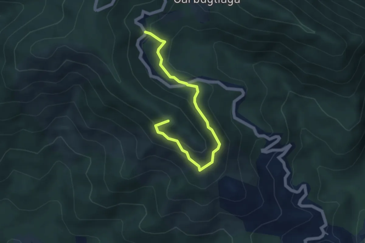
Easy · Summit
Anello Monte Gruzzo
4.1 km · ↑ 250 m · 1 h 31 min · 11 km away
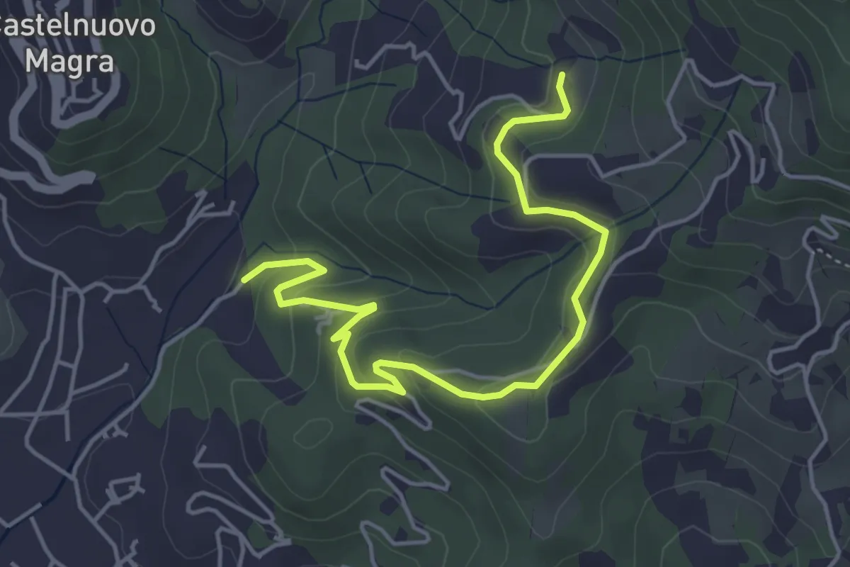
Easy · Trail
Bivio Molino Dogliotti - Marciano
5.4 km · ↑ 211 m · 1 h 44 min · 12 km away
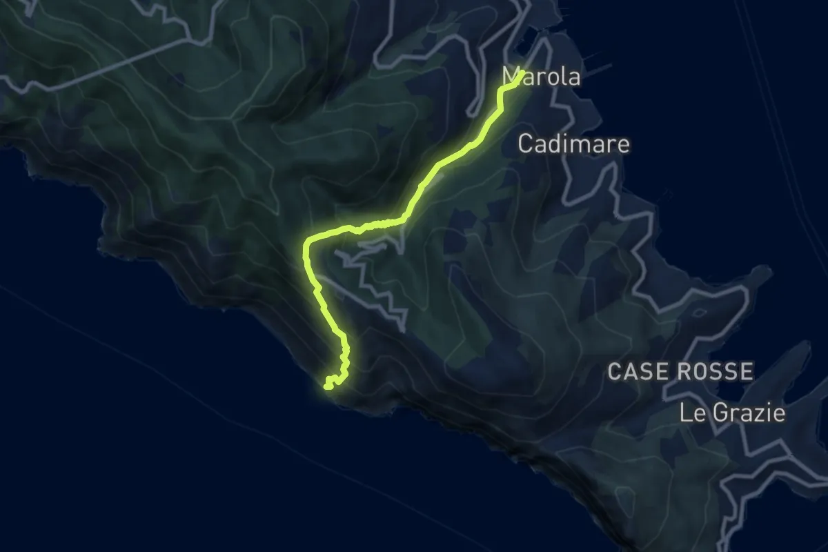
Medium · Trail
Acquasanta – Punta Persico
8.1 km · ↑ 787 m · 3 h 37 min · 12 km away
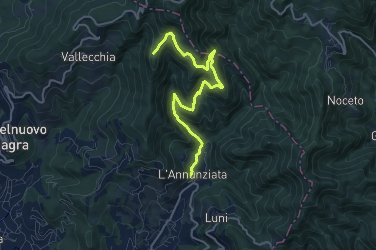
Medium · Trail
Percorso 364 - Località Annunziata – Percorso 304
9.3 km · ↑ 643 m · 3 h 36 min · 12 km away
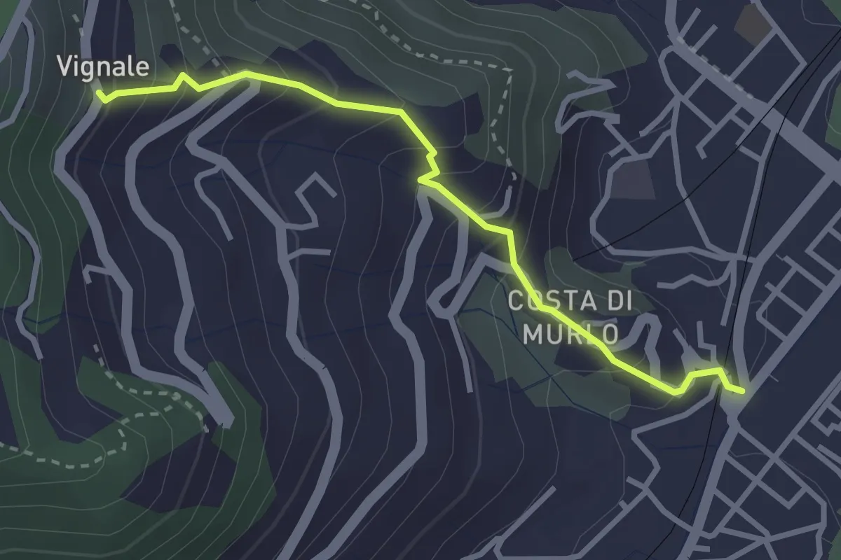
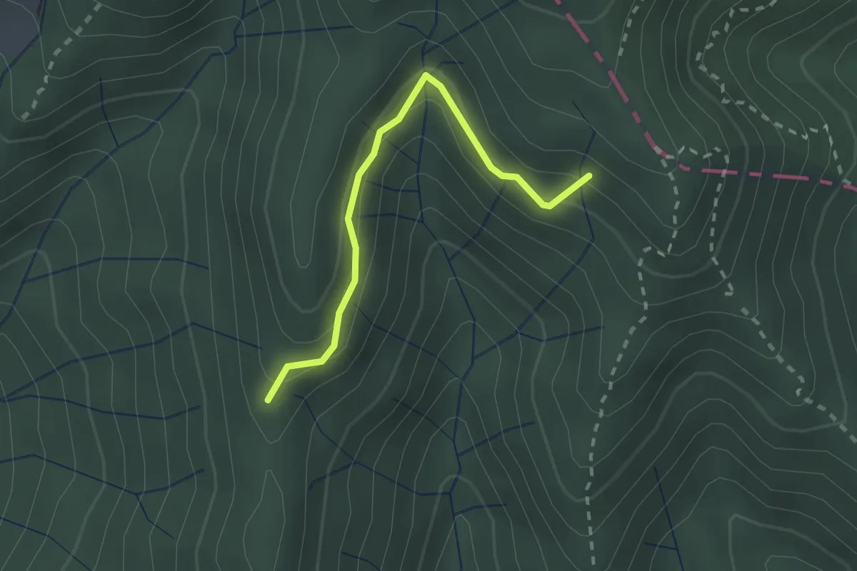
Easy · Trail
Pegazzano – Scalinata Costellino – Vignale
2.9 km · ↑ 284 m · 1 h 19 min · 12 km away
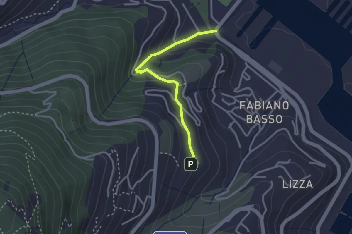
Easy · Trail
Percorso 373 – Percorso 304
2.2 km · ↑ 131 m · 48 min · 12 km away
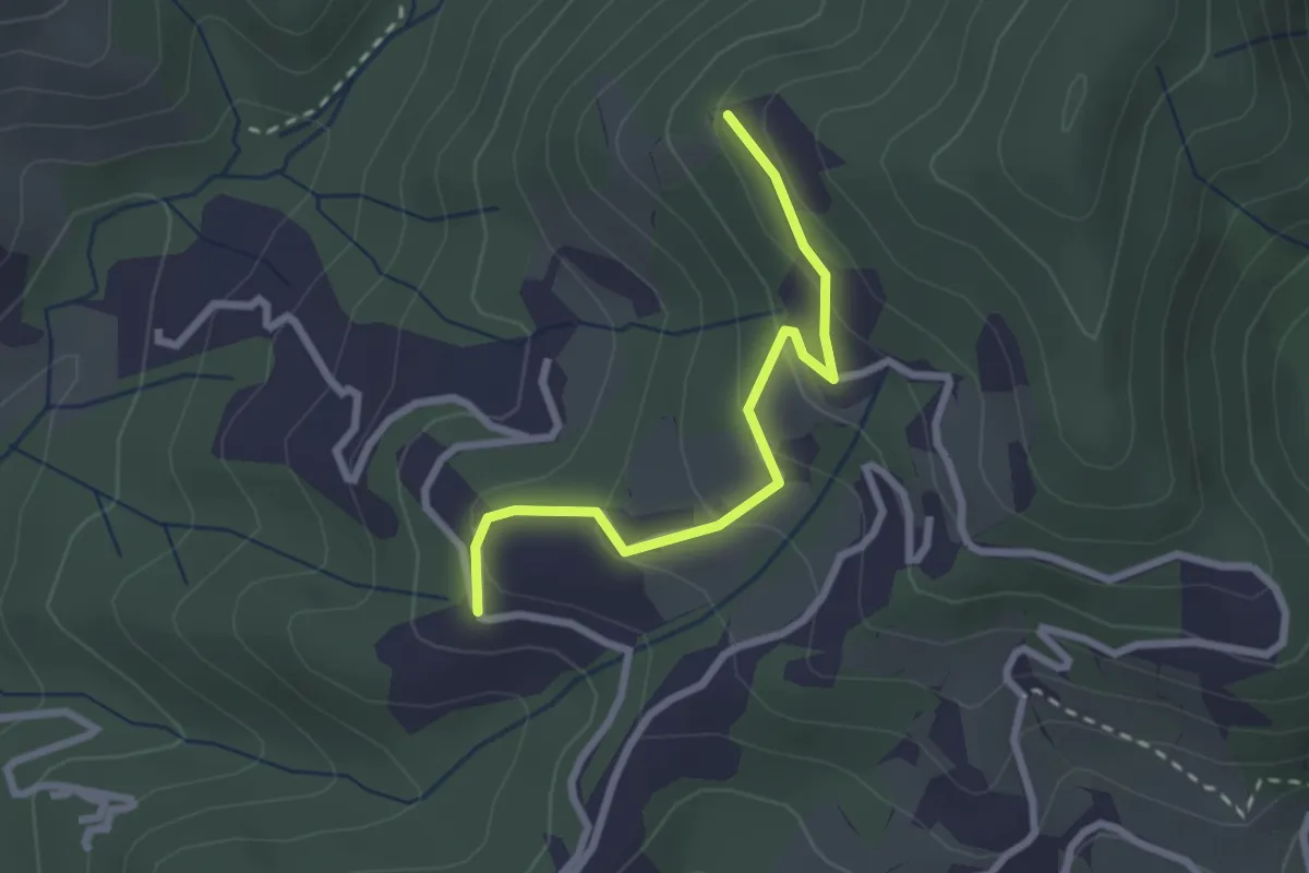
Easy · Trail
Buggi – Fabiano Alto
2.6 km · ↑ 178 m · 59 min · 12 km away
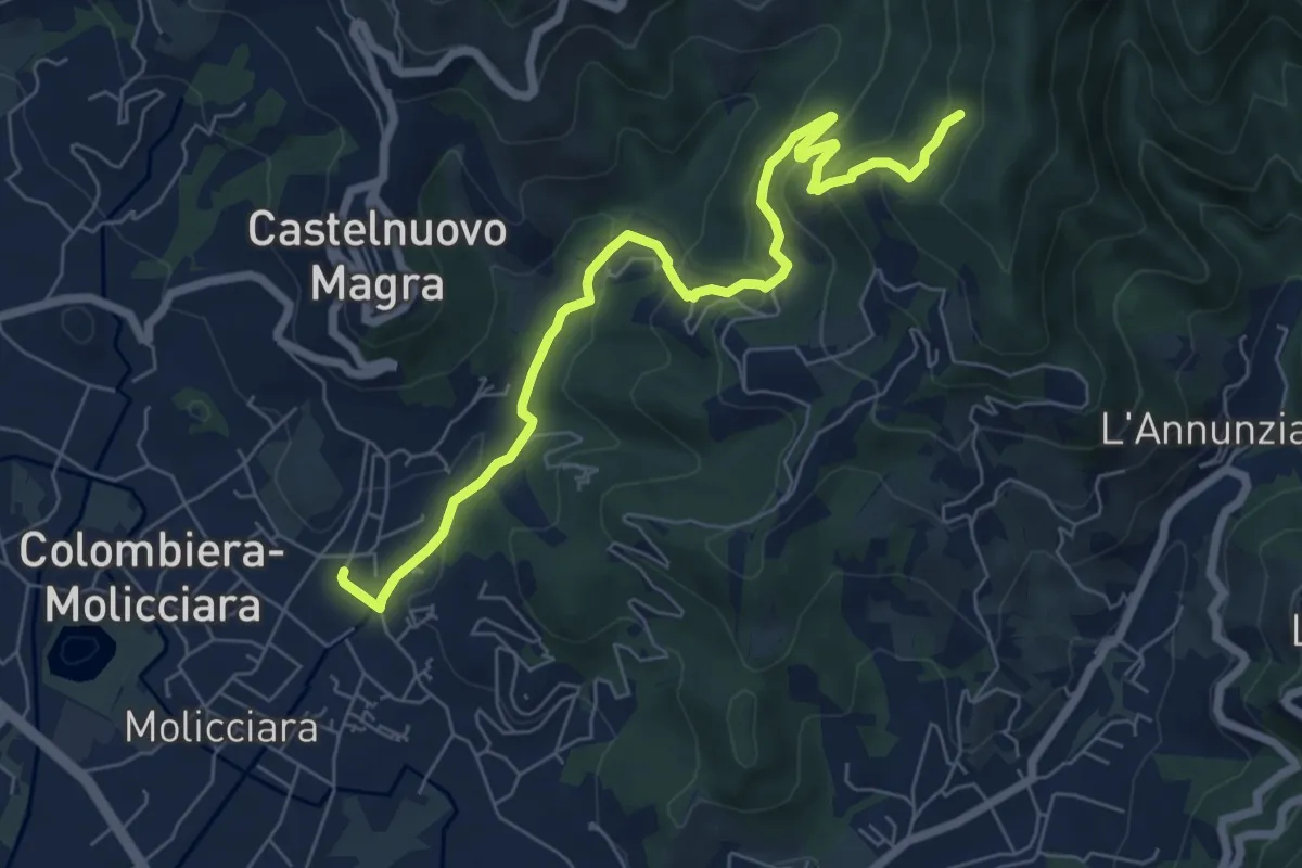
Easy · Trail
Santa Rosa (Percorso 308) – Orbagnano di Sopra
2.5 km · ↑ 130 m · 52 min · 12 km away
Medium · Trail
Molino del Piano – Vallecchia
7.9 km · ↑ 388 m · 2 h 43 min · 12 km away
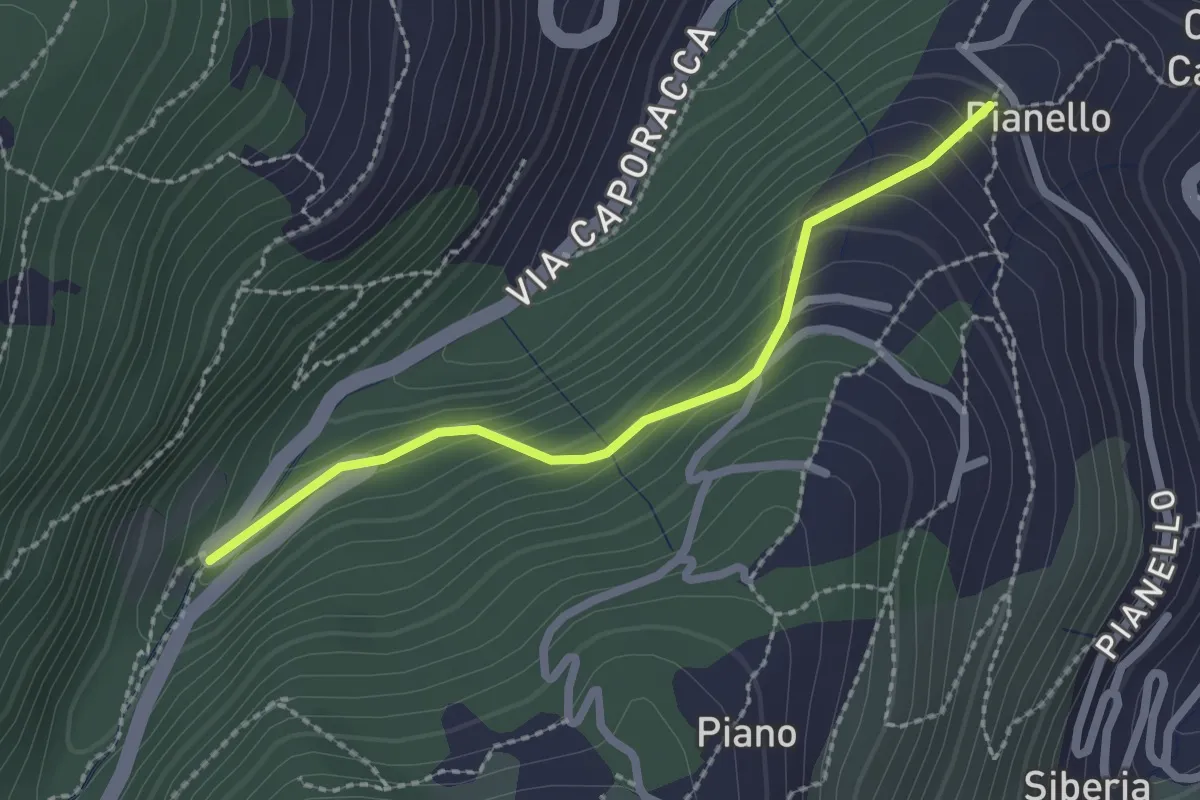
Easy · Trail
Montale – innesto sent. 528
2.2 km · ↑ 140 m · 50 min · 12 km away
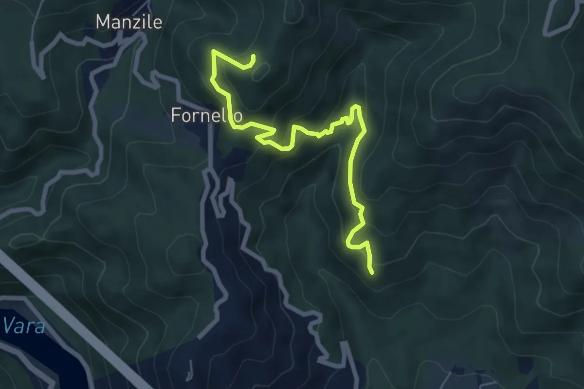
Medium · Trail
Cavanella – Case Bodri – (Bivio 152)
5.9 km · ↑ 564 m · 2 h 36 min · 12 km away
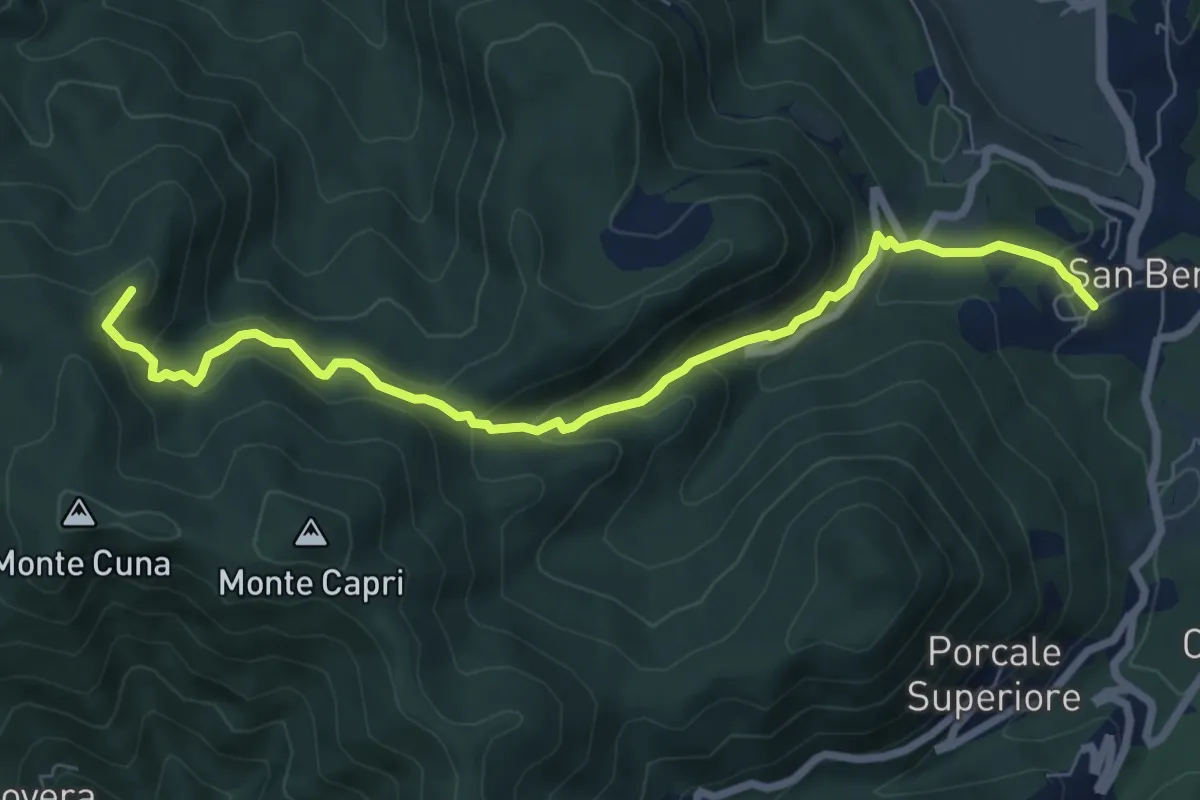
Demanding · Summit
San Benedetto – Aia del Cane
7.9 km · ↑ 506 m · 2 h 58 min · 12 km away
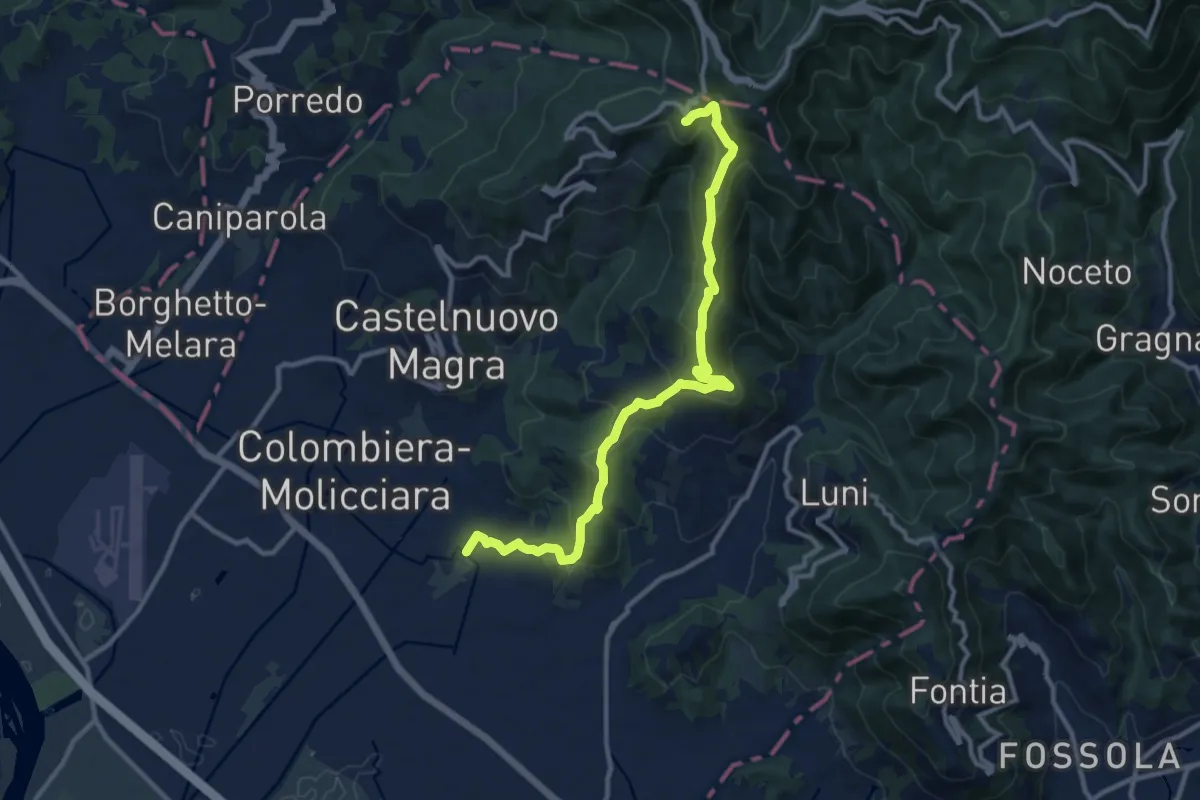
Medium · Trail
Coll. VF - Olmarello - Sarticola – Monticello – C. Bertella
12.1 km · ↑ 625 m · 4 h 13 min · 12 km away
Easy · Trail
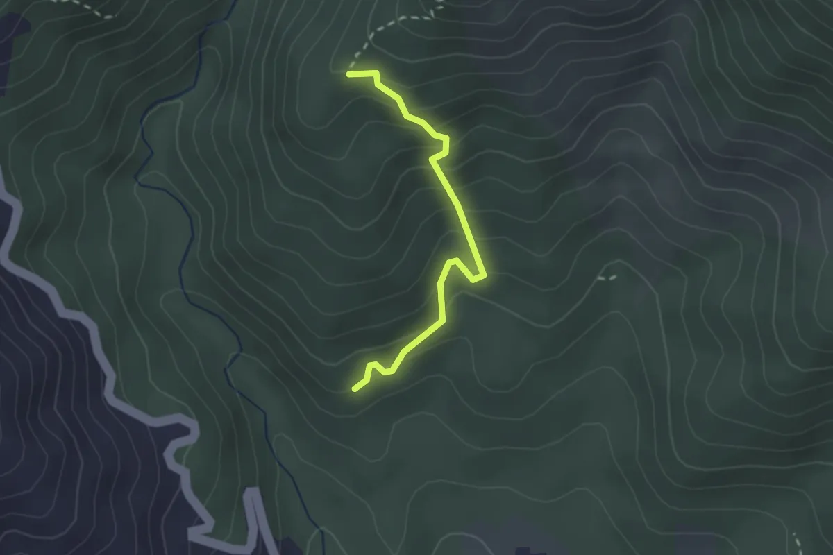
Cavanella – Case Bodri – (Variante 156)
2.2 km · ↑ 259 m · 1 h 5 min · 12 km away
Demanding · Summit
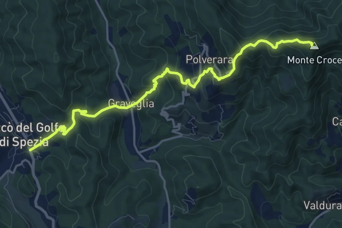
Piana Battolla – Riccò
11.7 km · ↑ 651 m · 4 h 11 min · 12 km away
Medium · Trail
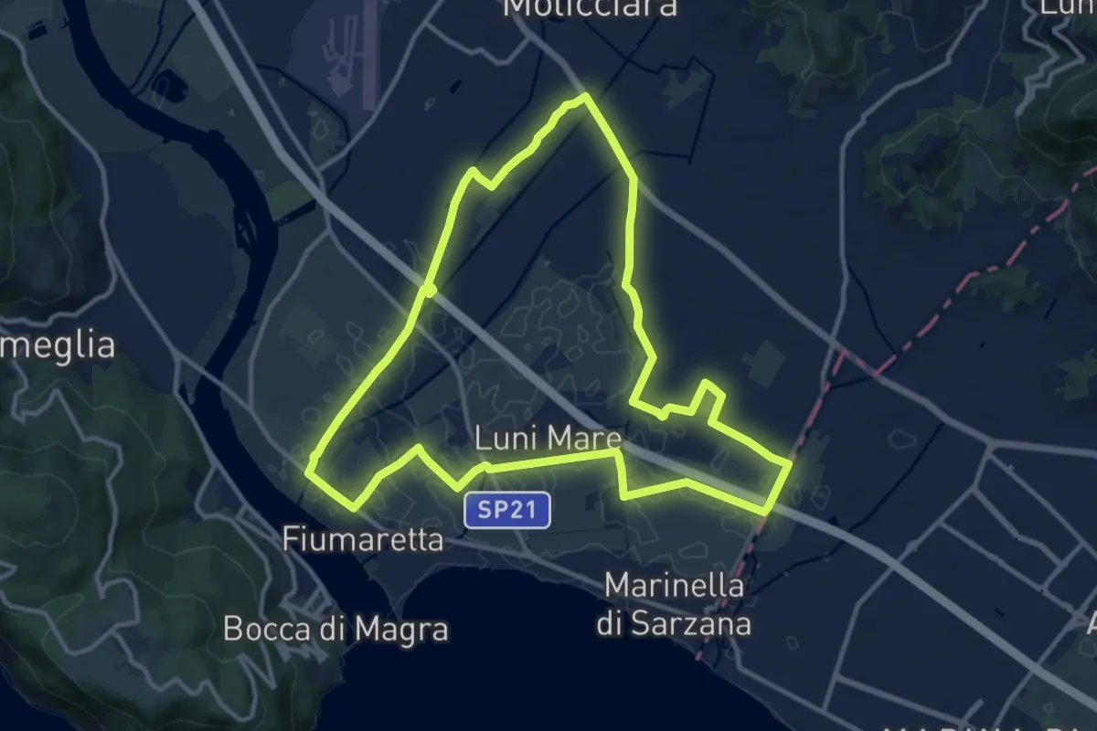
Sentiero Liguria - Tappa 0
12.9 km · ↑ 9 m · 3 h 15 min · 12 km away
Easy · Trail
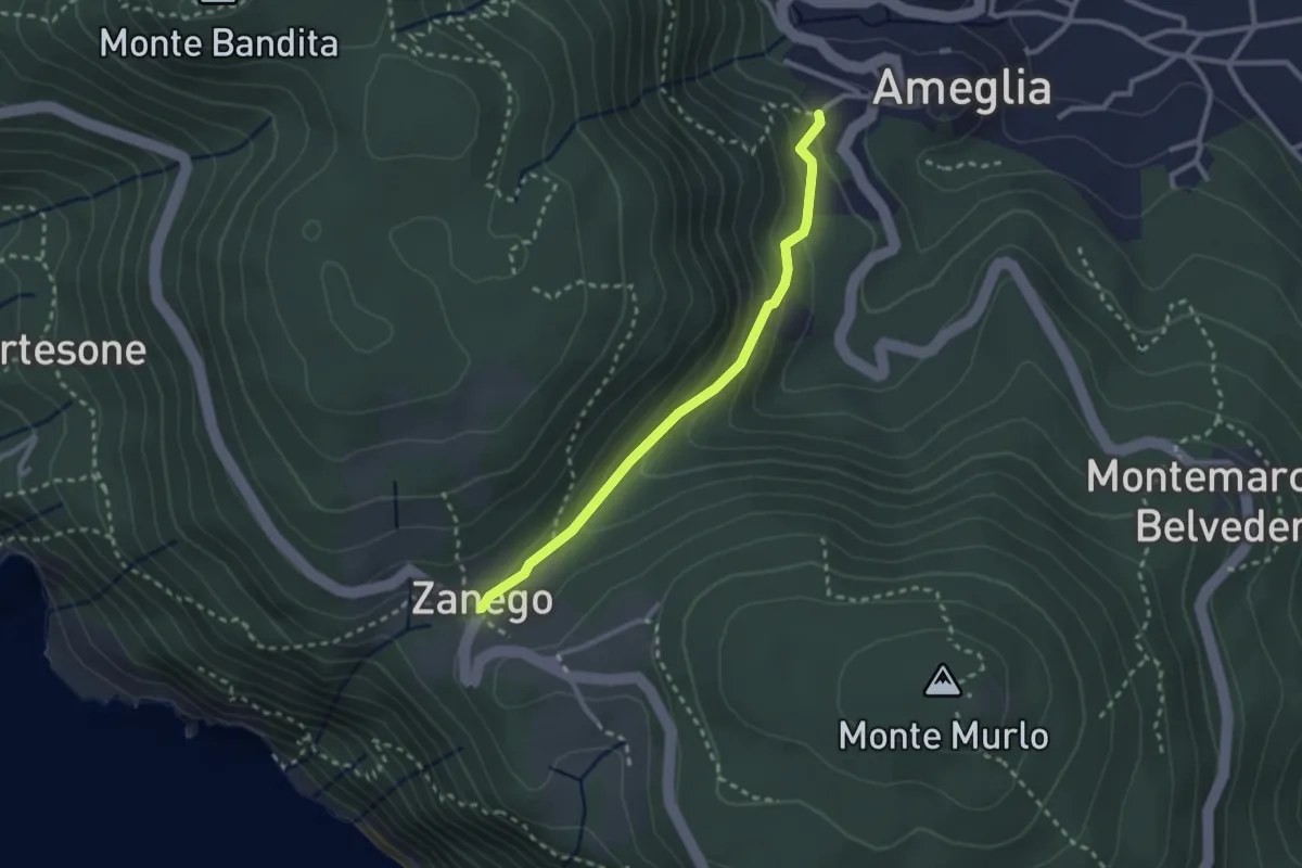
Ameglia – Zanego
2.6 km · ↑ 140 m · 55 min · 12 km away
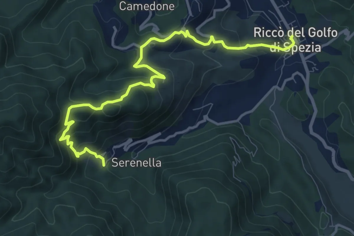
Medium · Trail
Riccò – Casella
10.5 km · ↑ 633 m · 3 h 51 min · 12 km away
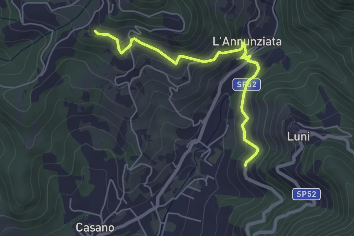
Easy · Trail
Santa Maria – Noceto
4.7 km · ↑ 307 m · 1 h 46 min · 12 km away
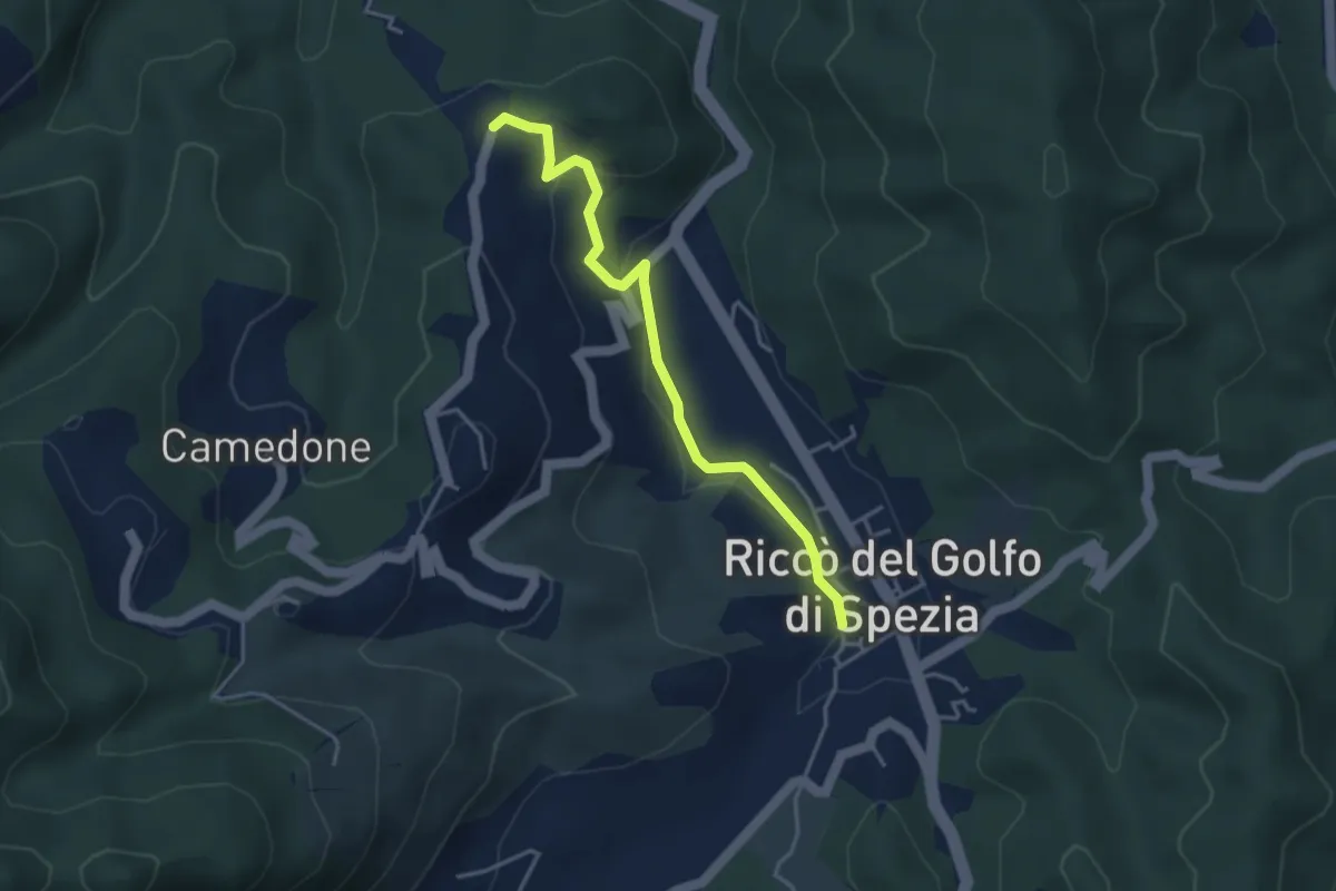
Easy · Trail
Riccò del Golfo – Pizzo Cuchelone
3.9 km · ↑ 138 m · 1 h 14 min · 12 km away
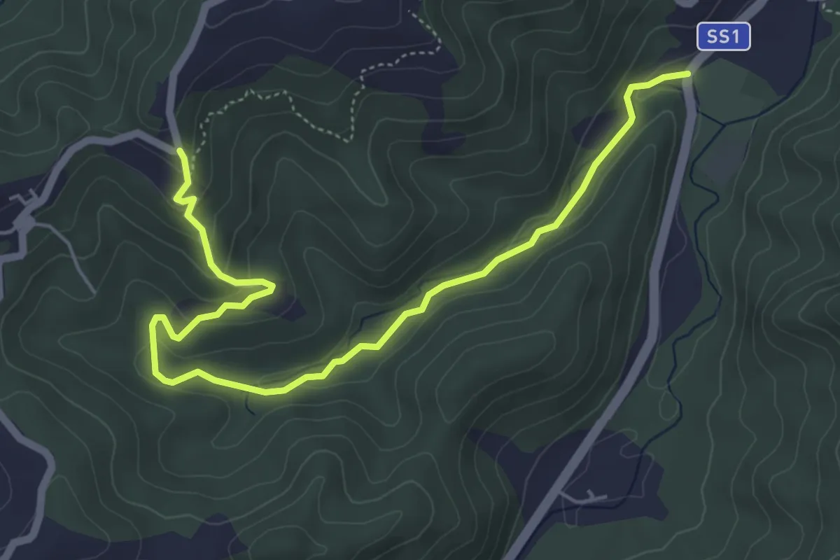
Easy · Trail
Case Grobbio – Incavanella
6.4 km · ↑ 201 m · 1 h 57 min · 12 km away