Trails near Santo Stefano di Magra
216 hikes starting within 15 km, nearest first.
Nearest first, page 4 of 5
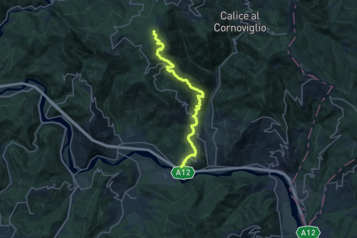
Medium · Trail
San Remigio – Castiglione Vara – Garbugliaga – Forno (Bivio 152)
14.9 km · ↑ 760 m · 5 h 10 min · 13 km away
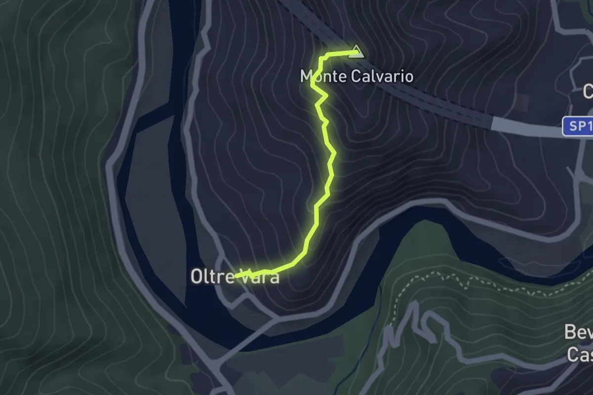
Easy · Summit
Oltrevara – Stadomelli (Bivio 152)
2.7 km · ↑ 317 m · 1 h 20 min · 13 km away
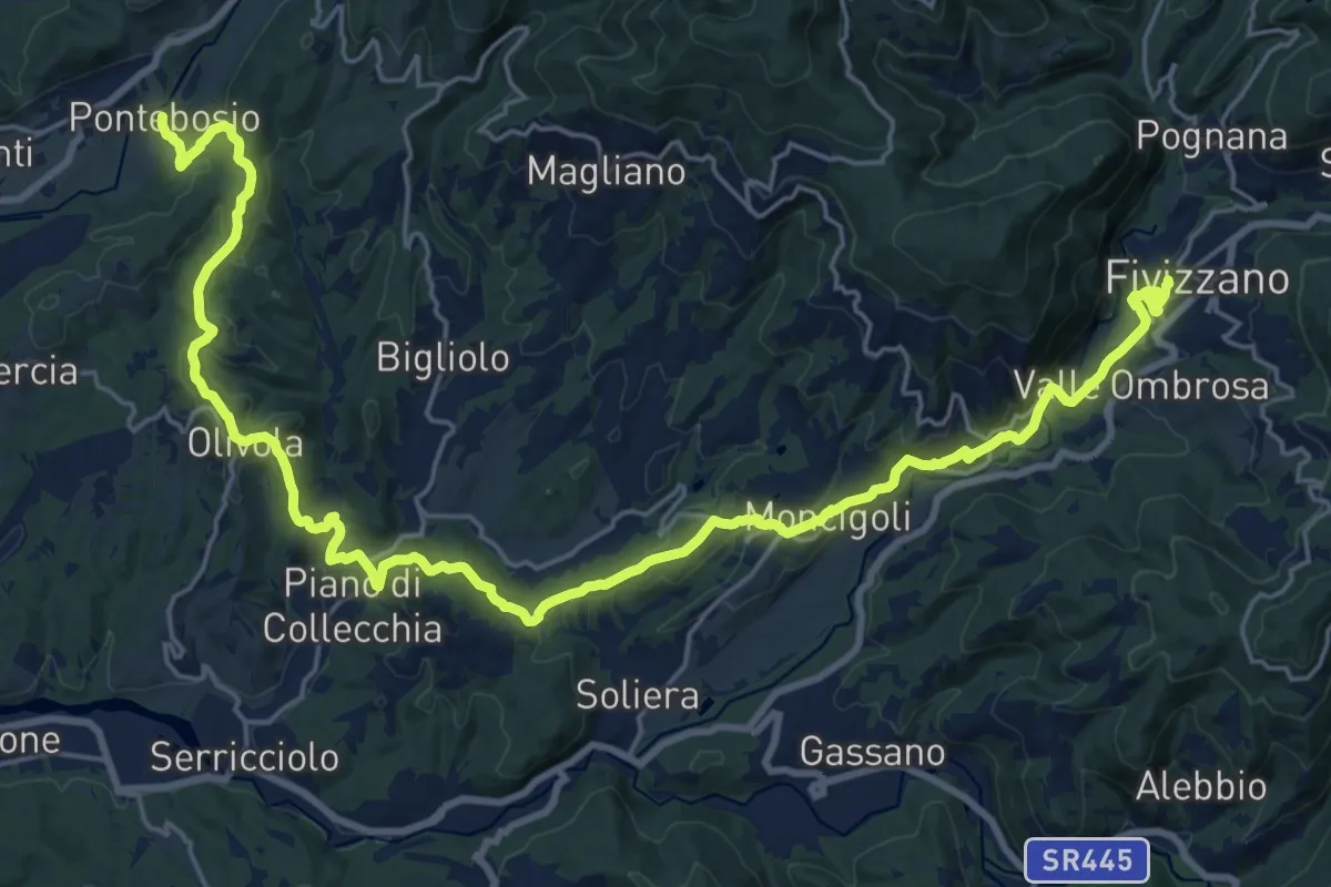
Medium · Trail
Via del Volto Santo 2b
15.3 km · ↑ 561 m · 4 h 57 min · 13 km away
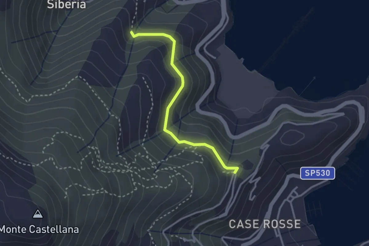
Easy · Trail
C. Giachetta – Via Pezzino Alto
2.7 km · ↑ 142 m · 56 min · 13 km away
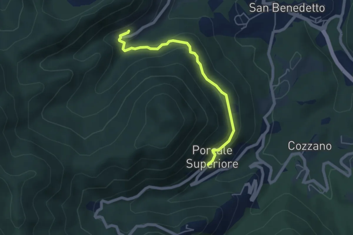
Medium · Trail
Quaratica – Porcale Superiore
4.2 km · ↑ 167 m · 1 h 22 min · 13 km away
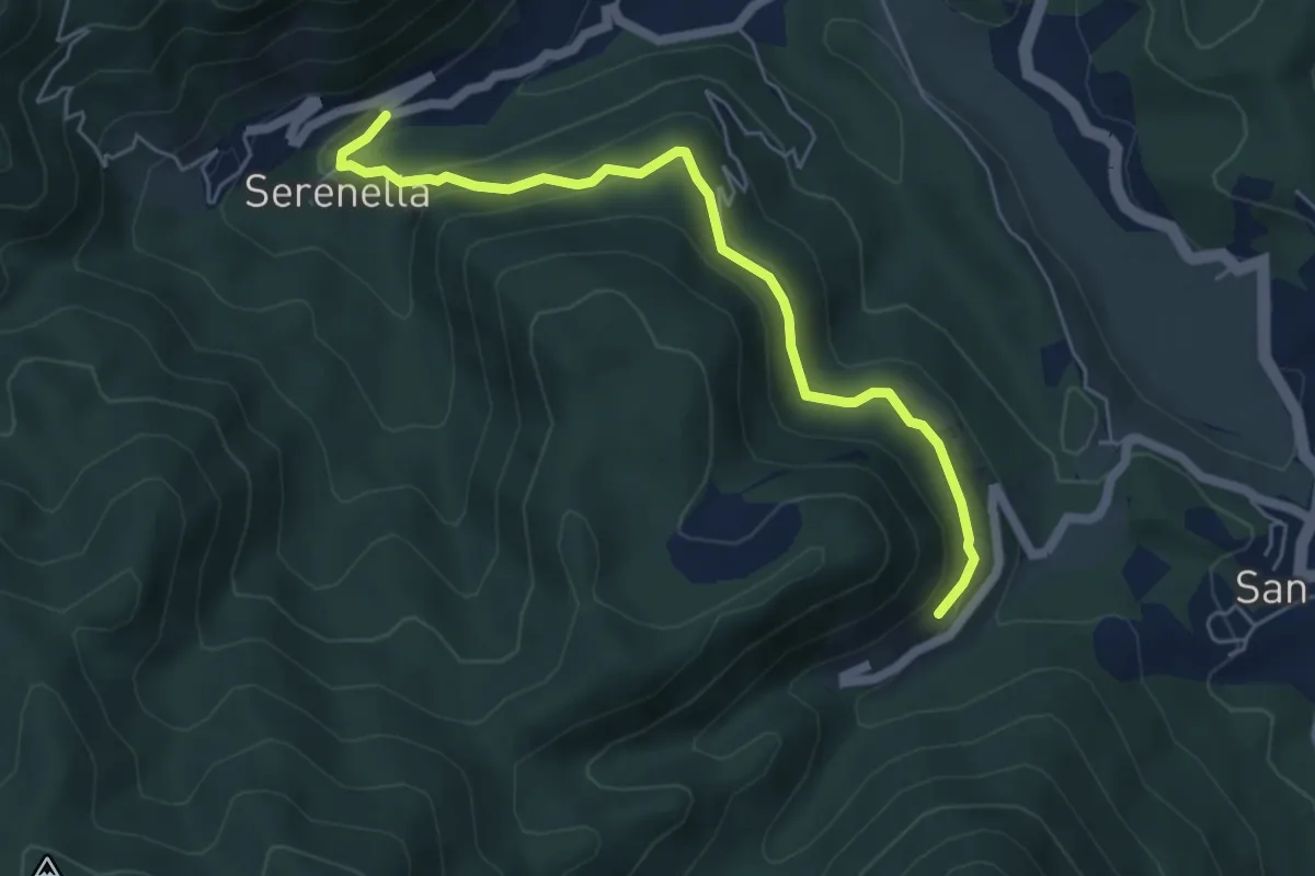
Medium · Trail
Serenella - M.na dell'Agostina – Quaratica
5.7 km · ↑ 251 m · 1 h 53 min · 13 km away
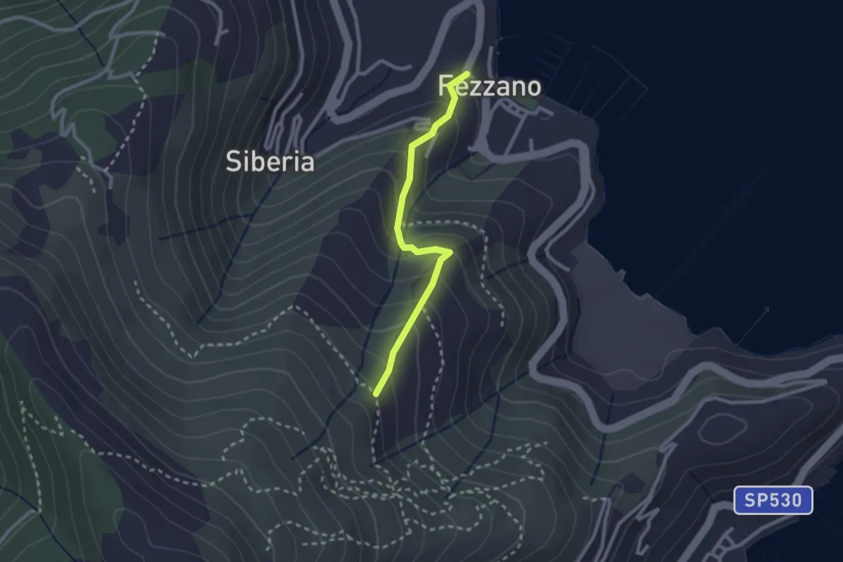
Easy · Trail
Fezzano – Case Villano
2.3 km · ↑ 217 m · 1 h 1 min · 13 km away
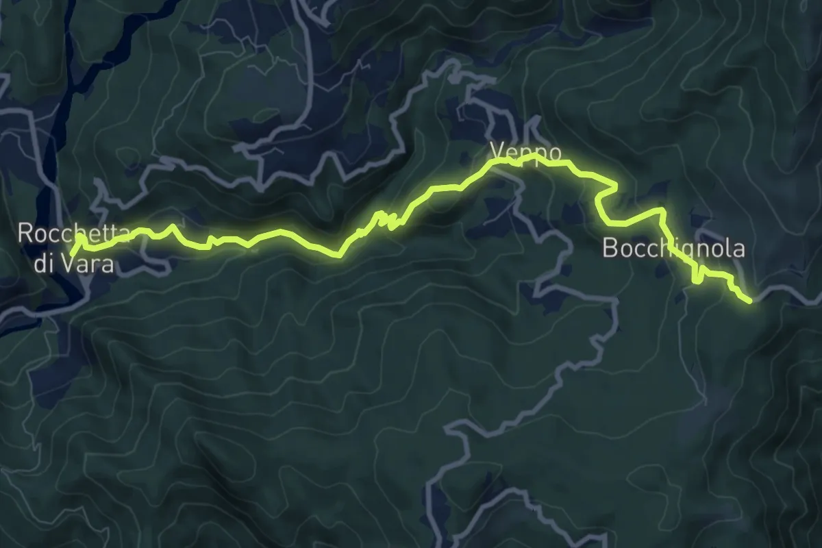
Medium · Trail
Rocchetta - Veppo - Foce Veppo
11.3 km · ↑ 612 m · 3 h 59 min · 13 km away
Demanding · Summit
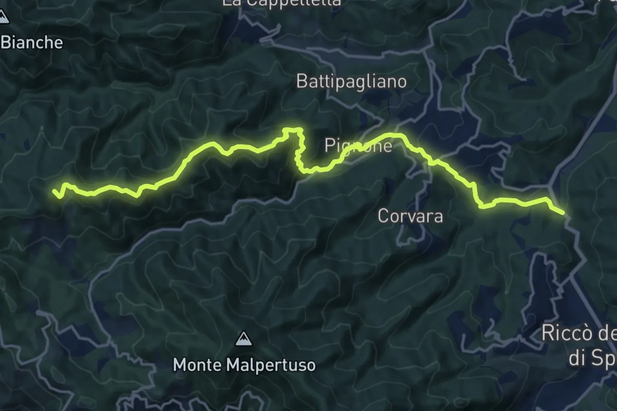
Pian di Barca – Monte Crocettola
18.2 km · ↑ 936 m · 6 h 19 min · 13 km away
Medium · Summit
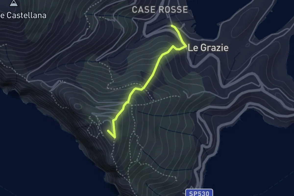
Le Grazie – La Martina
2.9 km · ↑ 307 m · 1 h 21 min · 13 km away
Easy · Summit
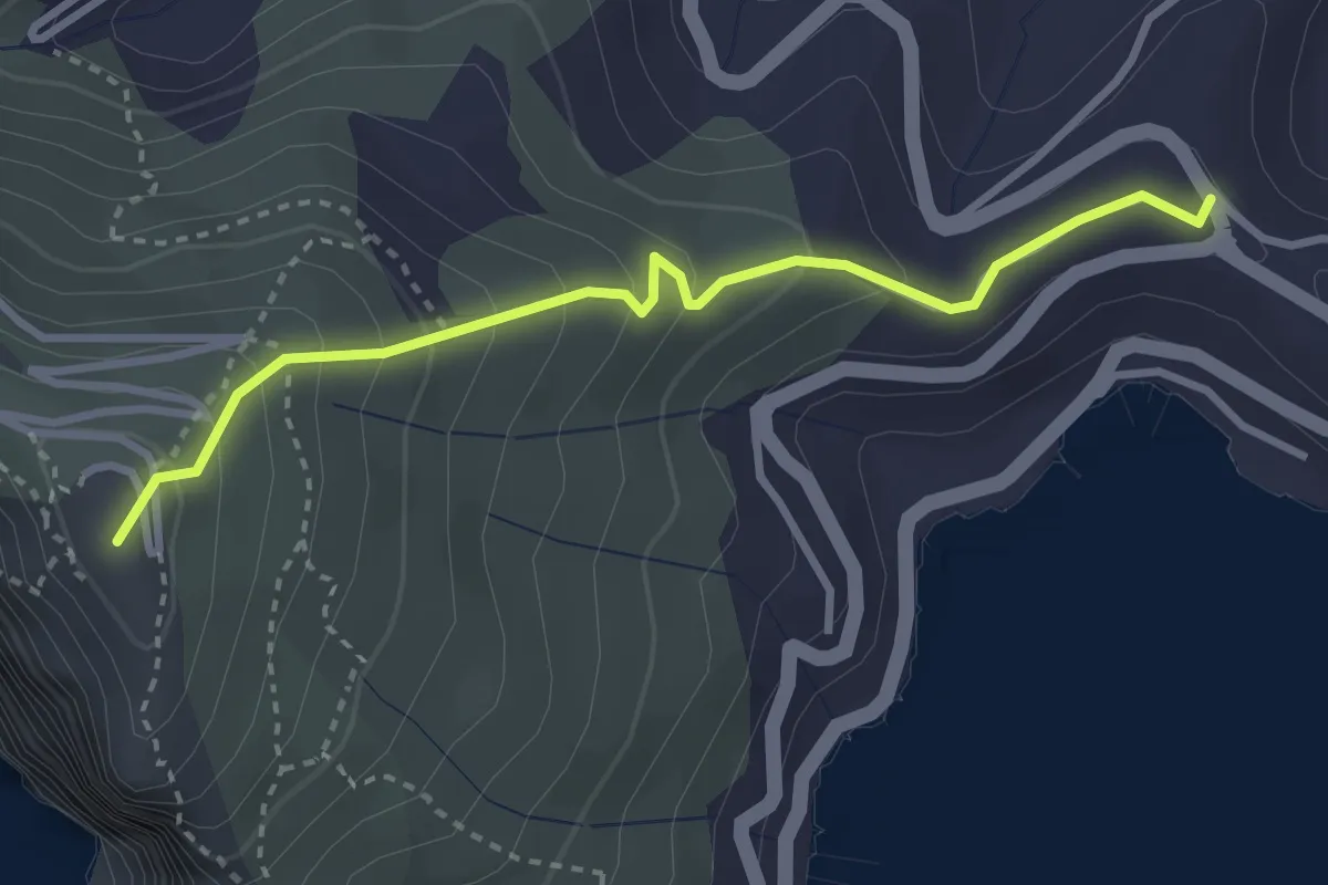
Località Il Cavo – Forte Muzzerone
3.3 km · ↑ 255 m · 1 h 20 min · 13 km away
Demanding · Trail
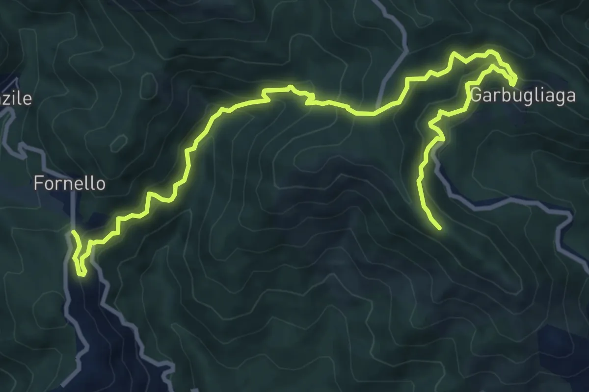
Quattro Strade – Garbugliaga - Monte Gruzzo
11.4 km · ↑ 809 m · 4 h 26 min · 13 km away
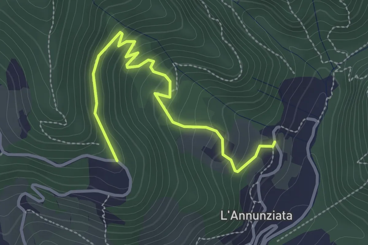
Easy · Trail
Percorso 373 – Percorso 304
3.2 km · ↑ 217 m · 1 h 14 min · 13 km away
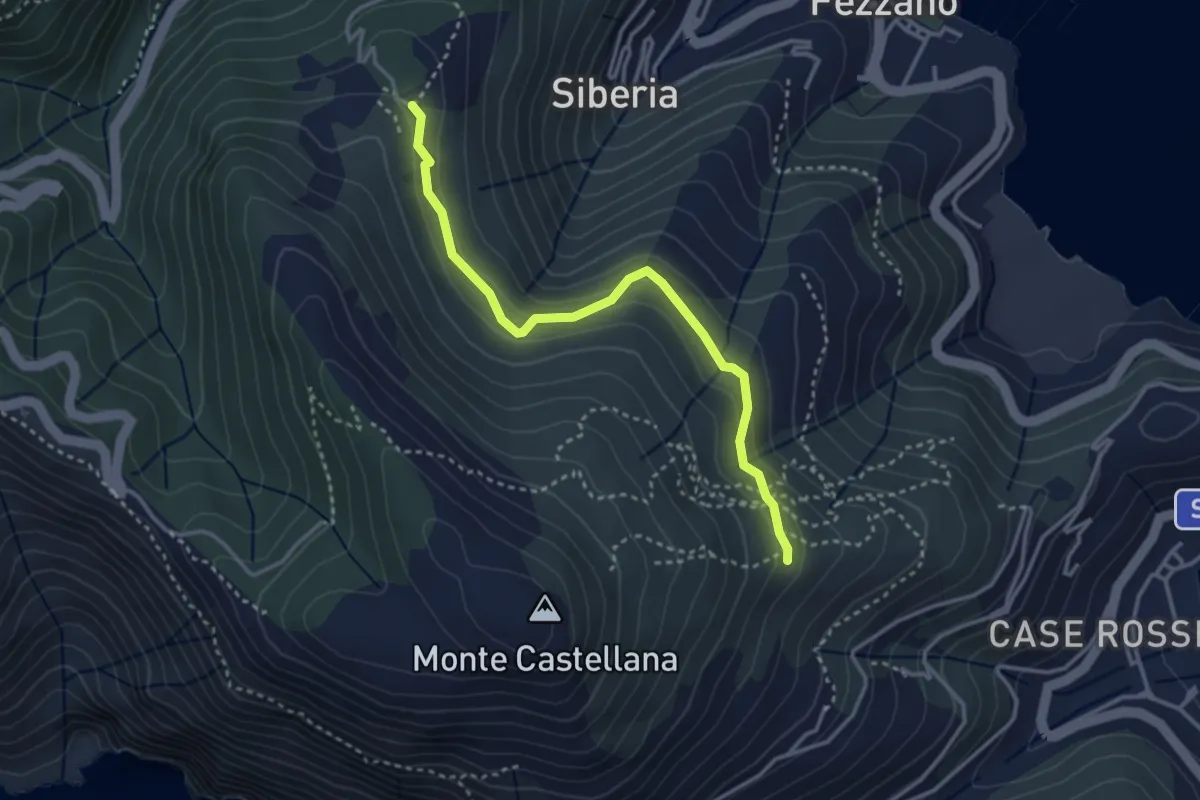
Easy · Trail
Il Piano – Case Villano
3.5 km · ↑ 133 m · 1 h 7 min · 13 km away
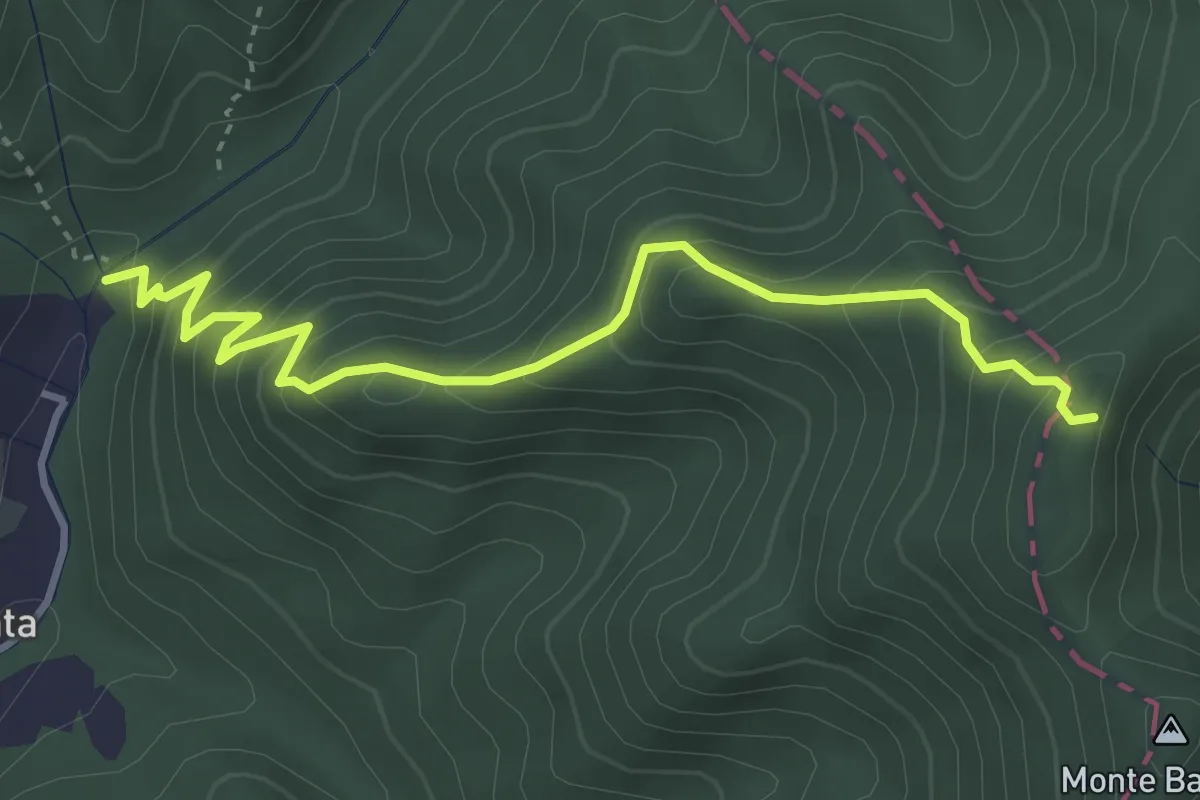
Medium · Trail
Molino del Lucco – Volpiglione
4.1 km · ↑ 419 m · 1 h 53 min · 13 km away
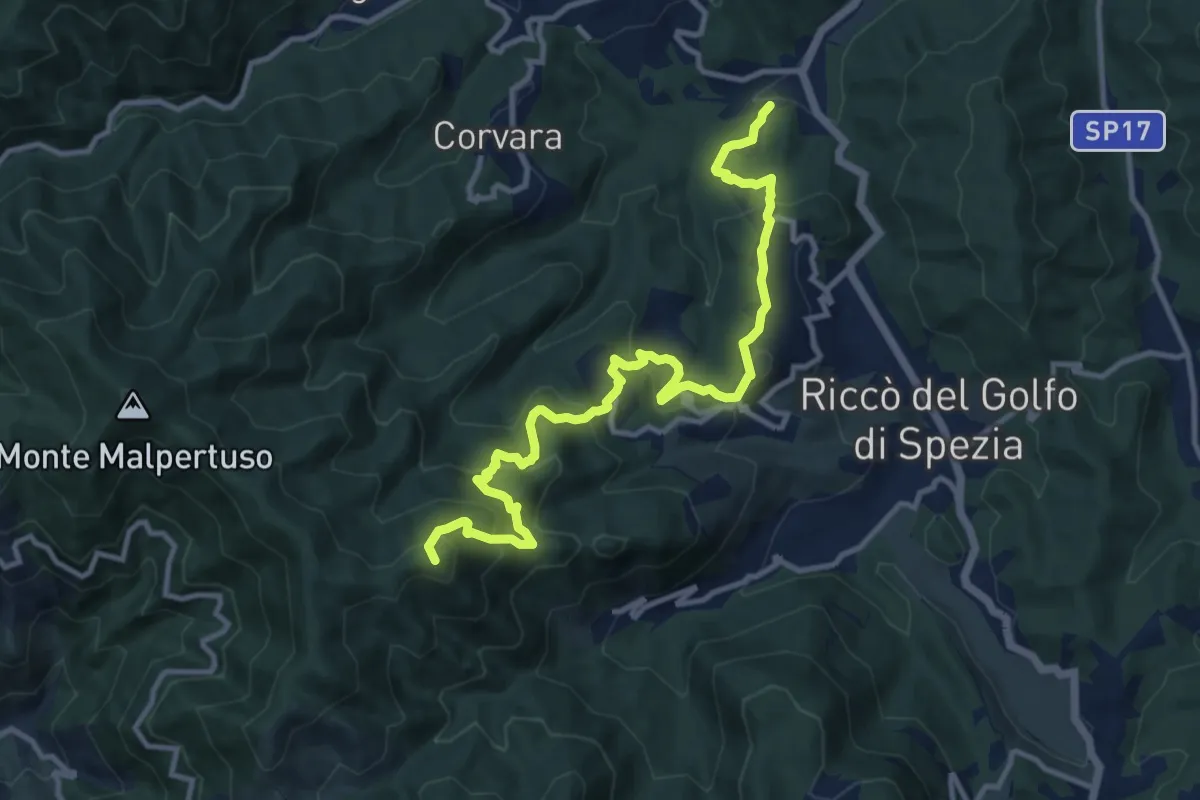
Expert · Summit
Pian di Barca – Baudara
13.2 km · ↑ 880 m · 5 h 1 min · 13 km away
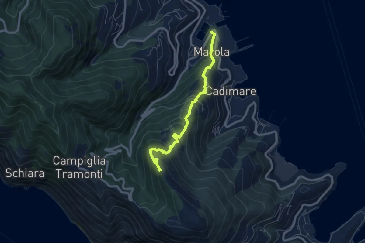
Medium · Trail
Marola – Il Piano – Cave del Piano
5.9 km · ↑ 437 m · 2 h 20 min · 13 km away
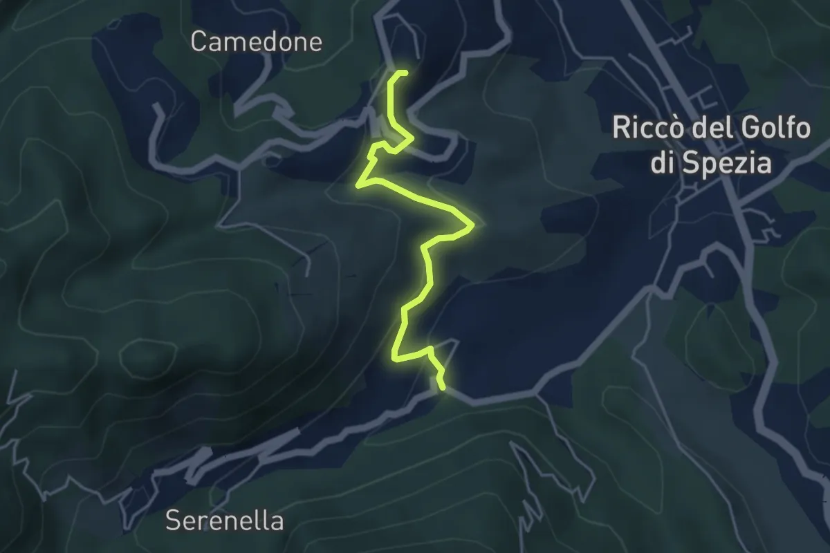
Easy · Trail
Valdipino – Ponzò
3.9 km · ↑ 197 m · 1 h 20 min · 13 km away
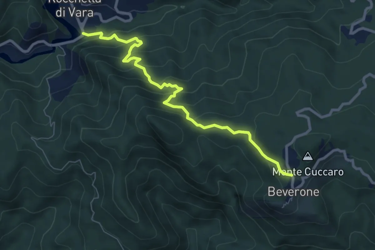
Medium · Trail
Rocchetta - Monte Nero - Beverone
7.2 km · ↑ 479 m · 2 h 44 min · 13 km away
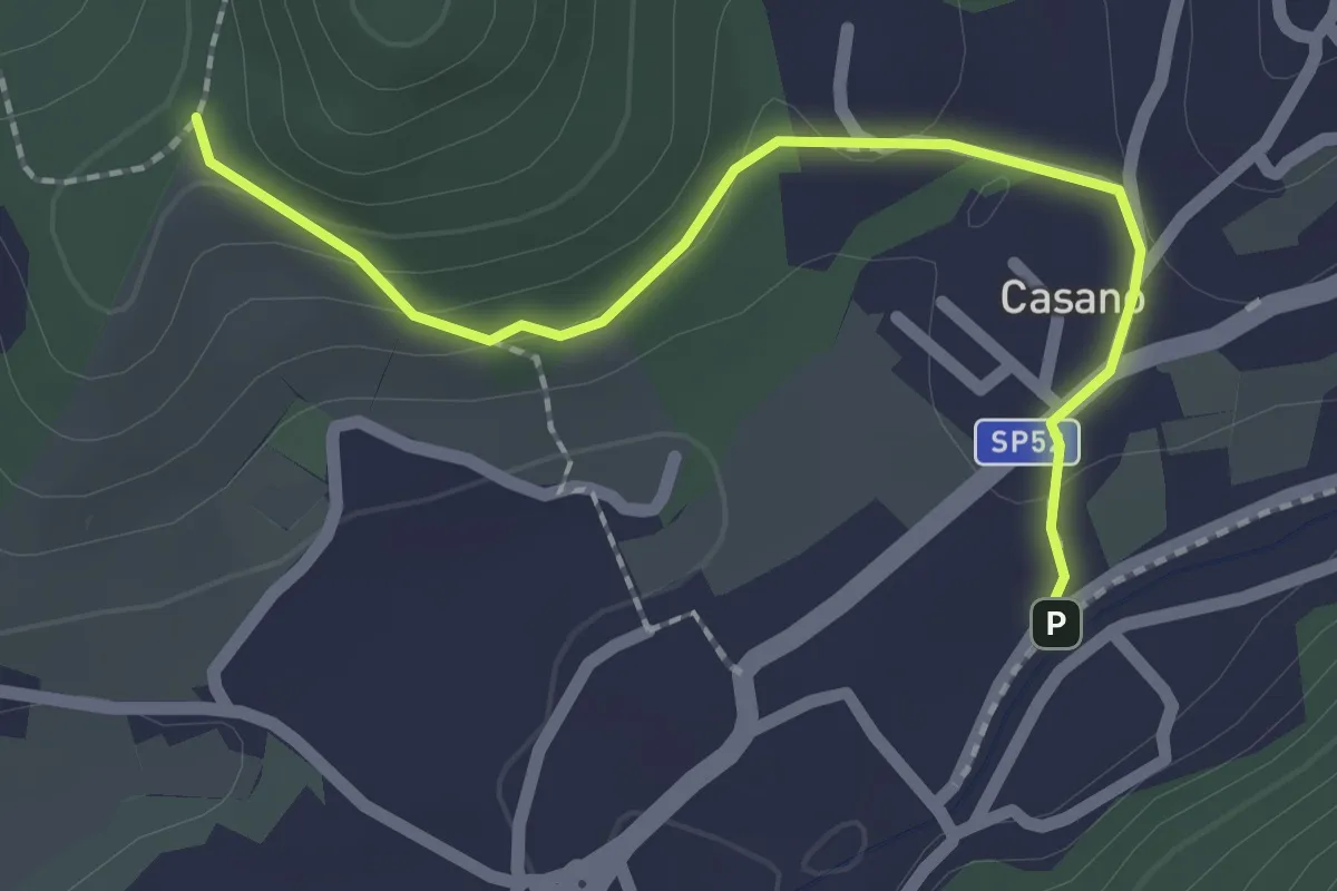
Easy · Trail
Serravalle – Monte dei Frati
2.2 km · ↑ 63 m · 40 min · 13 km away
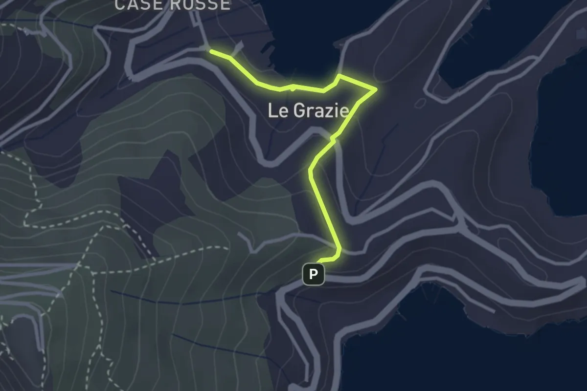
Easy · Trail
Le Grazie – Varignano - S. Antonio
2.6 km · ↑ 88 m · 48 min · 13 km away
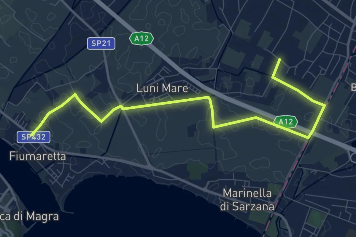
Medium · Trail
Fiumaretta – Anfiteatro Di Luni
10.2 km · ↑ 0 m · 2 h 25 min · 13 km away
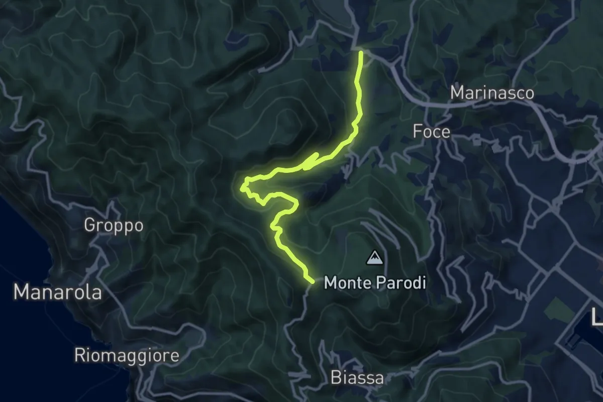
Medium · Trail
S.Benedetto – Porcale -Codeglia – Carpena – Sella di Carpena
11.4 km · ↑ 523 m · 3 h 50 min · 13 km away
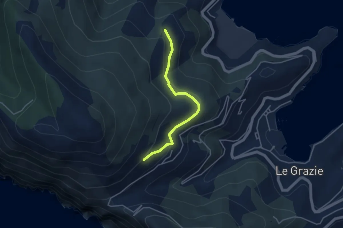
Easy · Trail
C. Tori – I Bondoni – C. Derbi
3.1 km · ↑ 143 m · 1 h 2 min · 13 km away
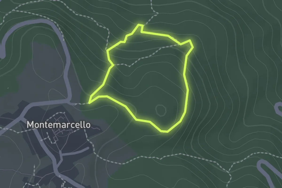
Easy · Trail
Montemarcello – giro del M. Marana
1.5 km · ↑ 81 m · 33 min · 13 km away
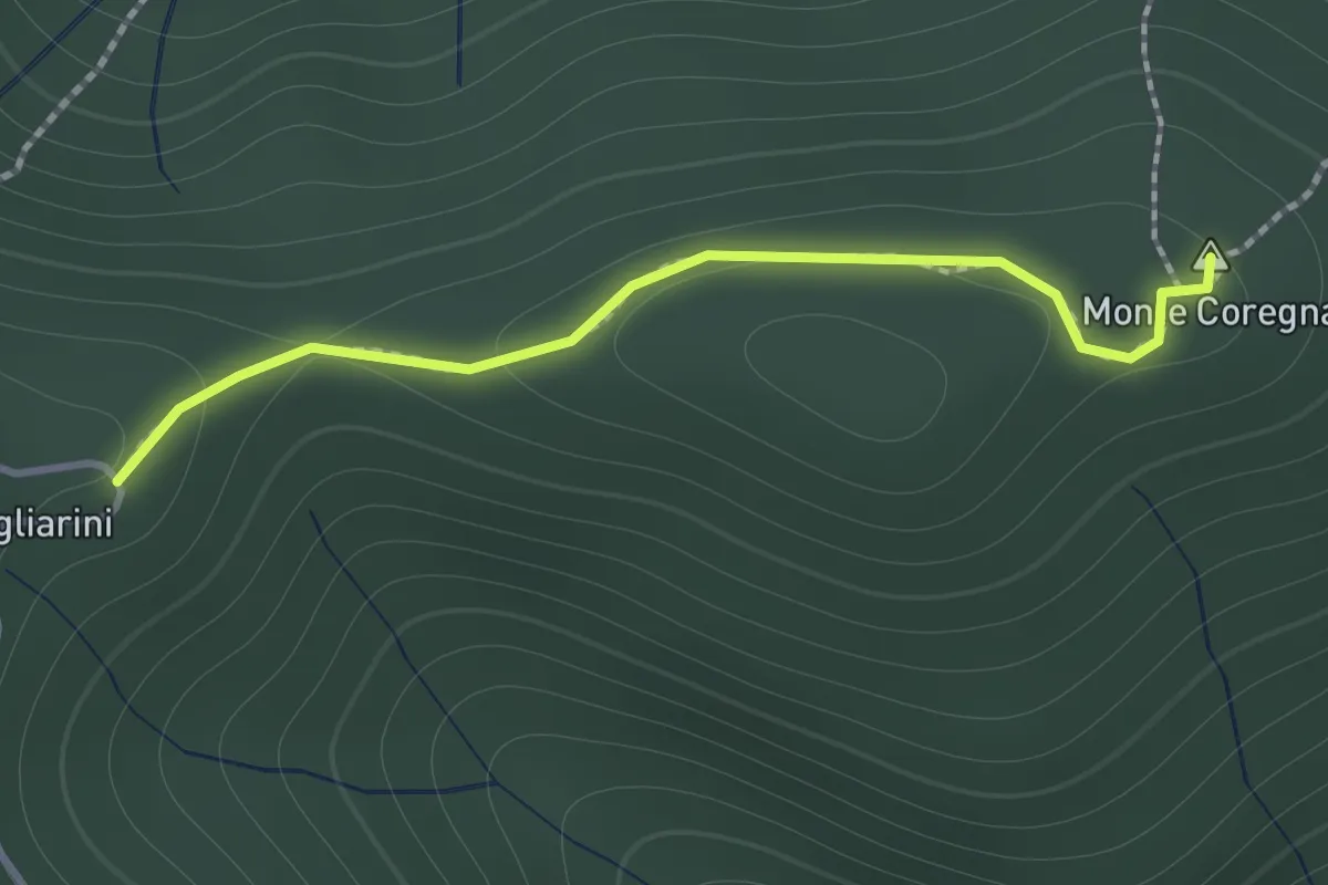
Expert · Summit
Coregna -P.ta Coregna – Sella Scogliarini
1.3 km · ↑ 49 m · 25 min · 14 km away
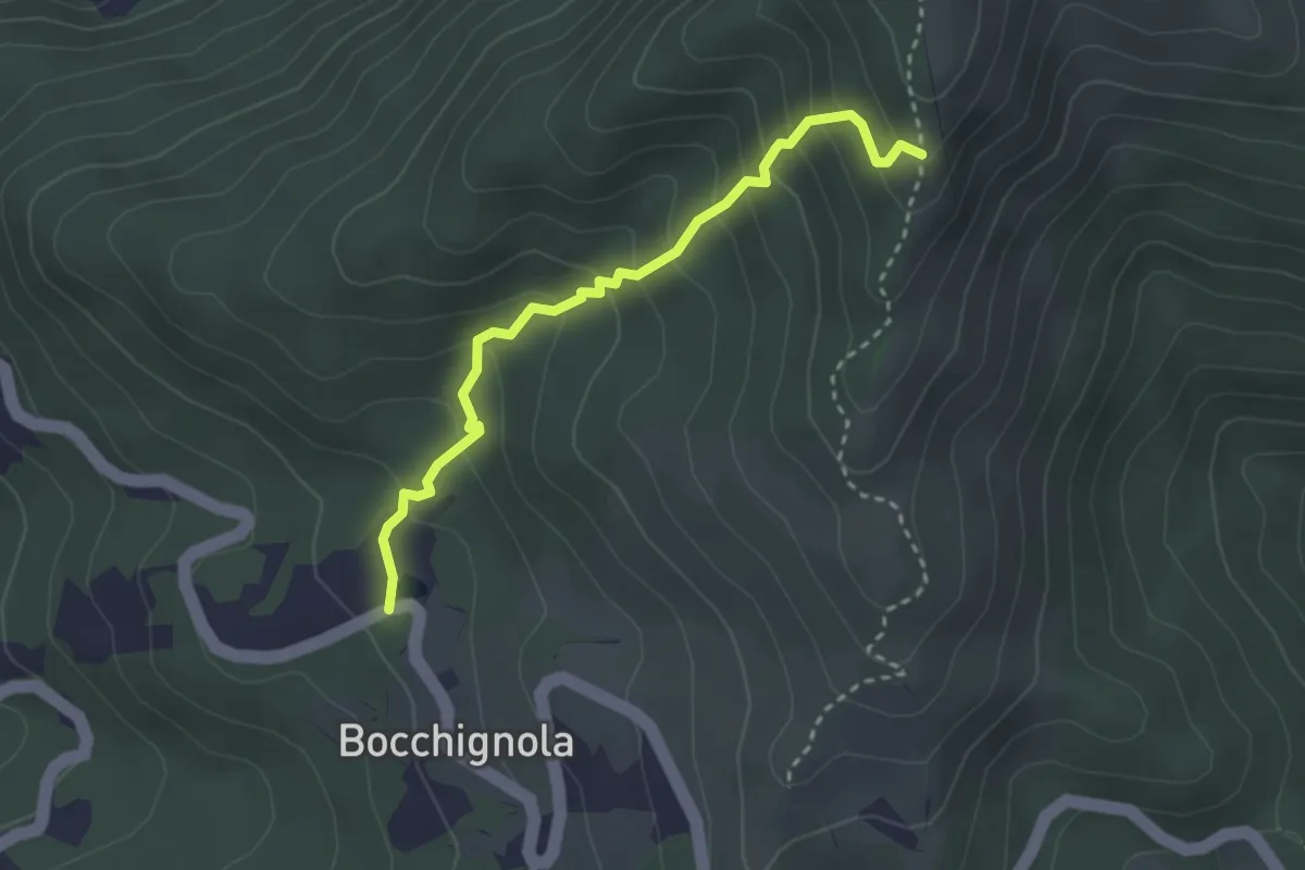
Easy · Trail
Bocchignola - Case Gratine - Innesto 152
3.0 km · ↑ 261 m · 1 h 17 min · 14 km away
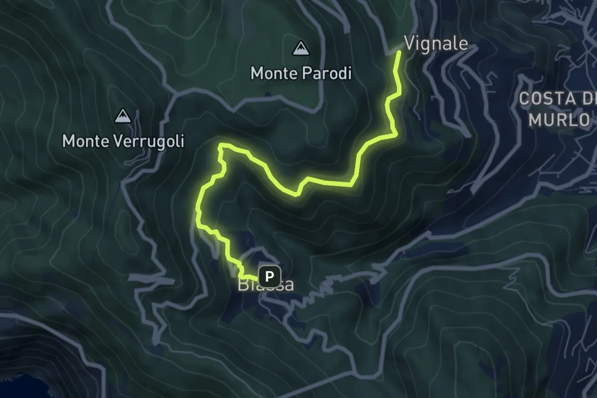
Medium · Trail
Bersedo – Biassa
7.0 km · ↑ 398 m · 2 h 30 min · 14 km away
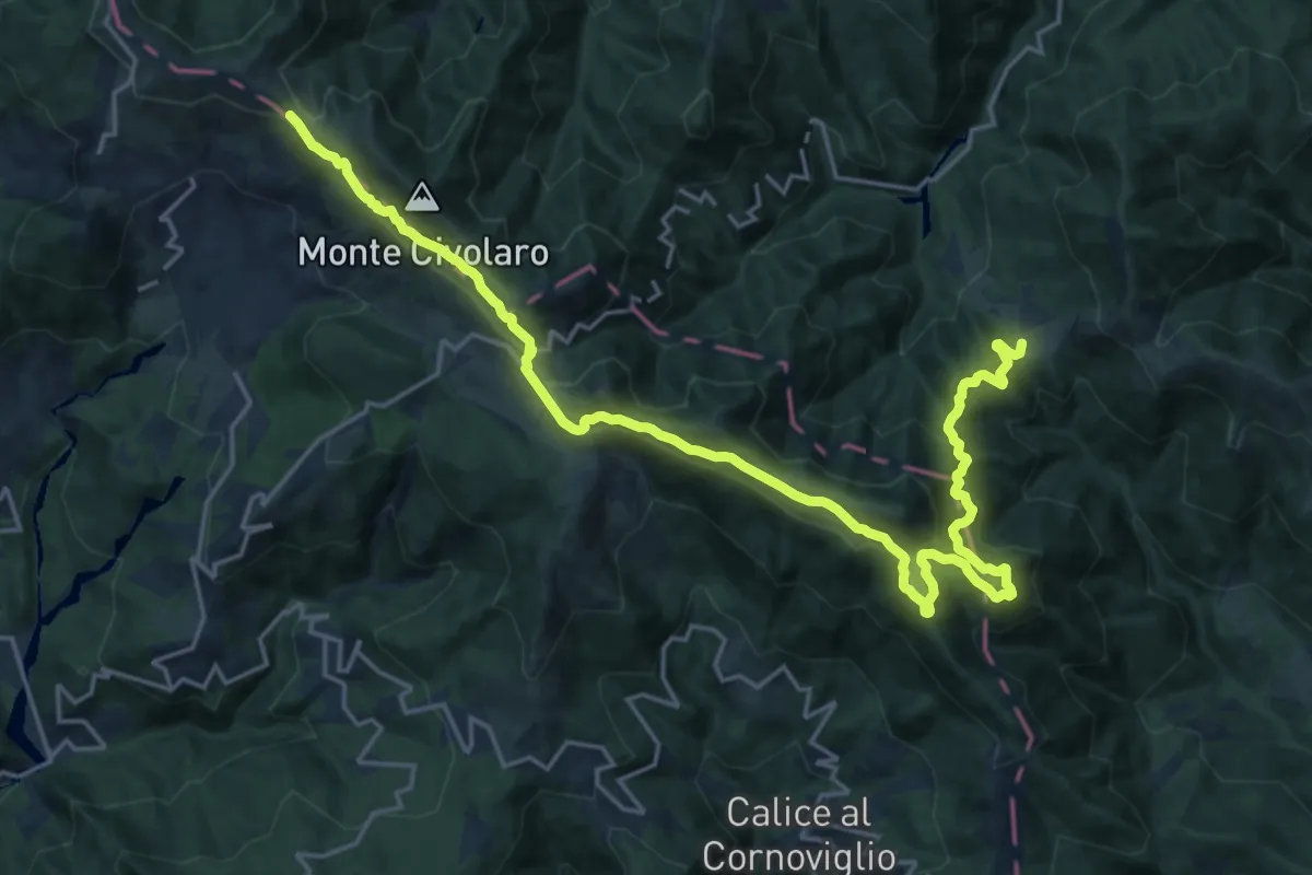
Demanding · Summit
Via Marchesana
25.3 km · ↑ 1247 m · 8 h 40 min · 14 km away
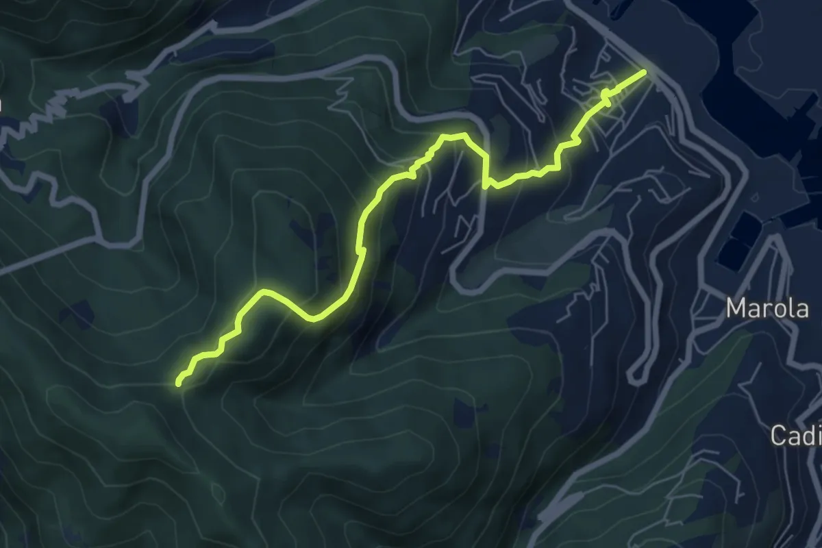
Expert · Trail
Fabiano – Mad.na dell'Olmo – Cà Pilloa – Sella Gesuela
6.6 km · ↑ 553 m · 2 h 46 min · 14 km away
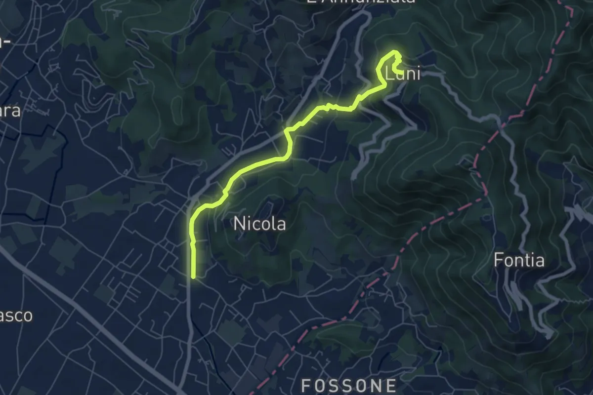
Easy · Trail
Isola - Lungo Parmignola - Ortonovo
6.6 km · ↑ 264 m · 2 h 8 min · 14 km away
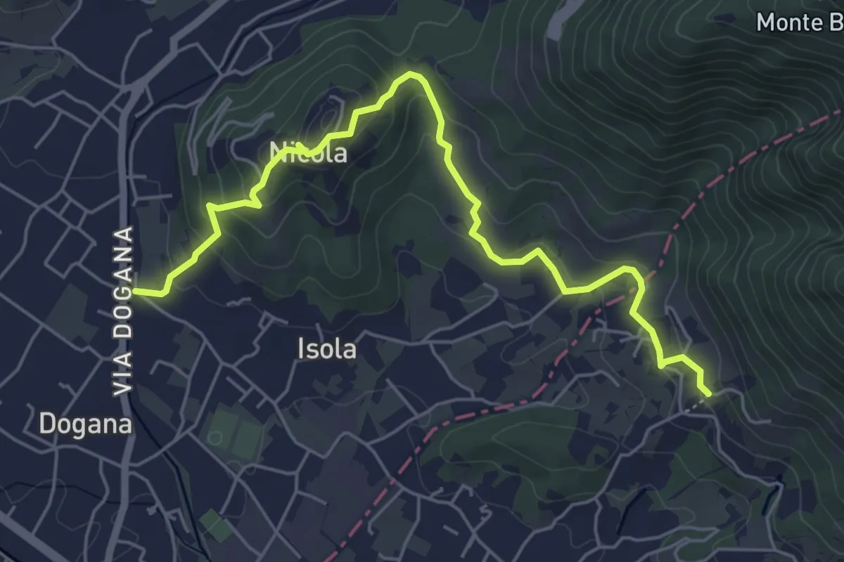
Easy · Trail
Isola – Fossola
6.3 km · ↑ 287 m · 2 h 6 min · 14 km away
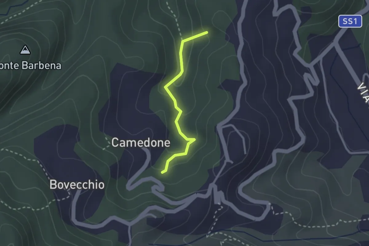
Easy · Summit
Pian di Barca – Camedone
2.1 km · ↑ 79 m · 40 min · 14 km away
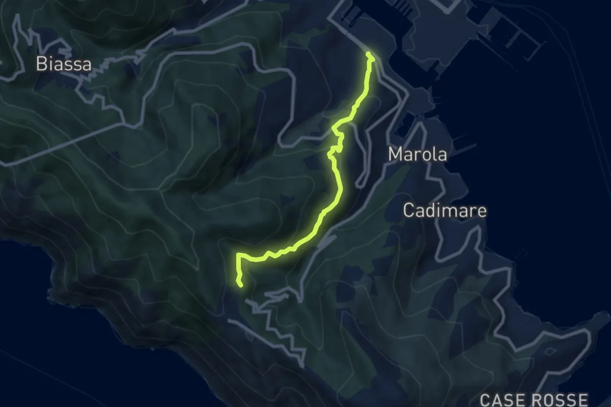
Demanding · Trail
Fabiano – Campiglia
6.8 km · ↑ 493 m · 2 h 40 min · 14 km away
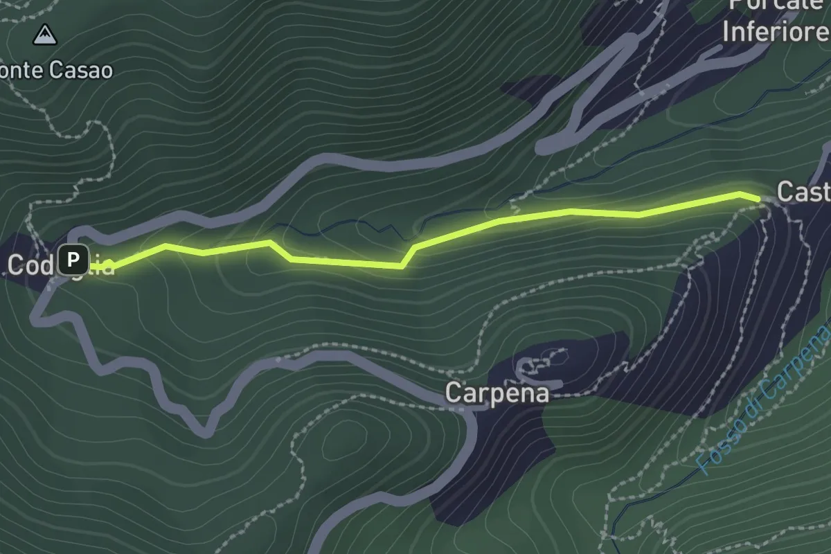
Easy · Trail
Castè – Codeglia
2.3 km · ↑ 104 m · 46 min · 14 km away
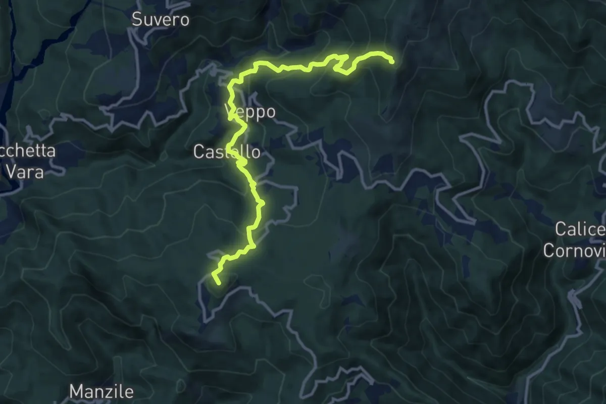
Demanding · Summit
Beverone – Volpara – Castello – Montale – Piazza – Gruzza di Veppo (Bivio 152)
11.7 km · ↑ 901 m · 4 h 43 min · 14 km away
Medium · Trail
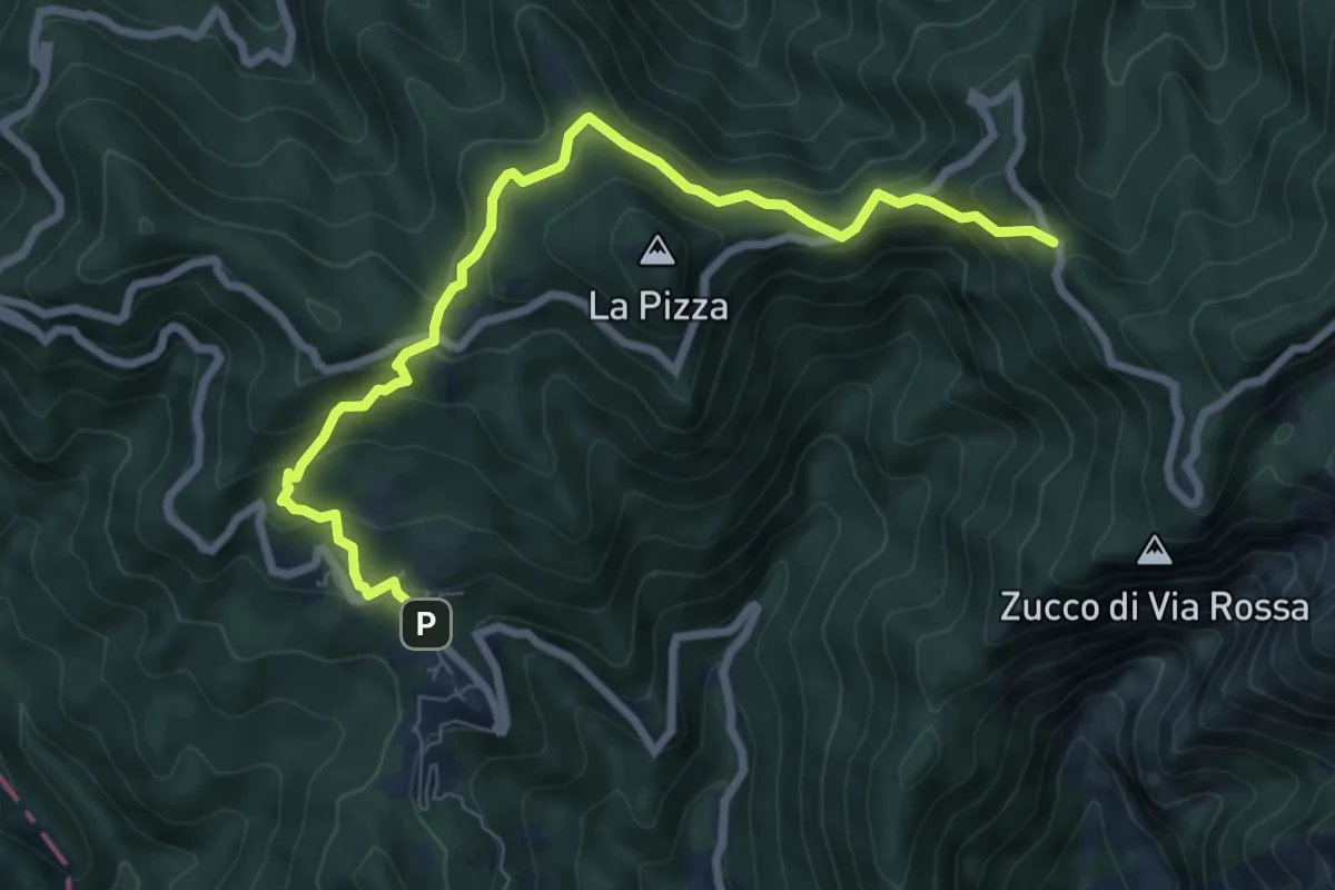
Castelpoggio – Gabellaccia
8.4 km · ↑ 454 m · 2 h 58 min · 14 km away
Demanding · Summit
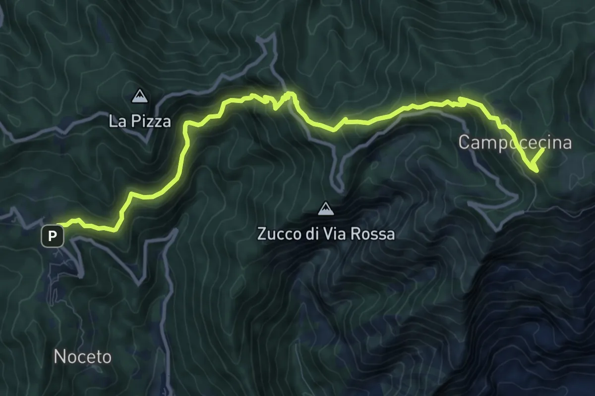
Castelpoggio – Rifugio Carrara
12.1 km · ↑ 946 m · 4 h 55 min · 14 km away
Medium · Summit
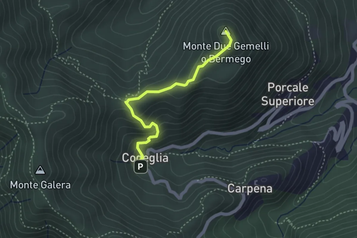
Codeglia – Sella Casao – M.Bermego
3.4 km · ↑ 216 m · 1 h 16 min · 14 km away
Demanding · Summit
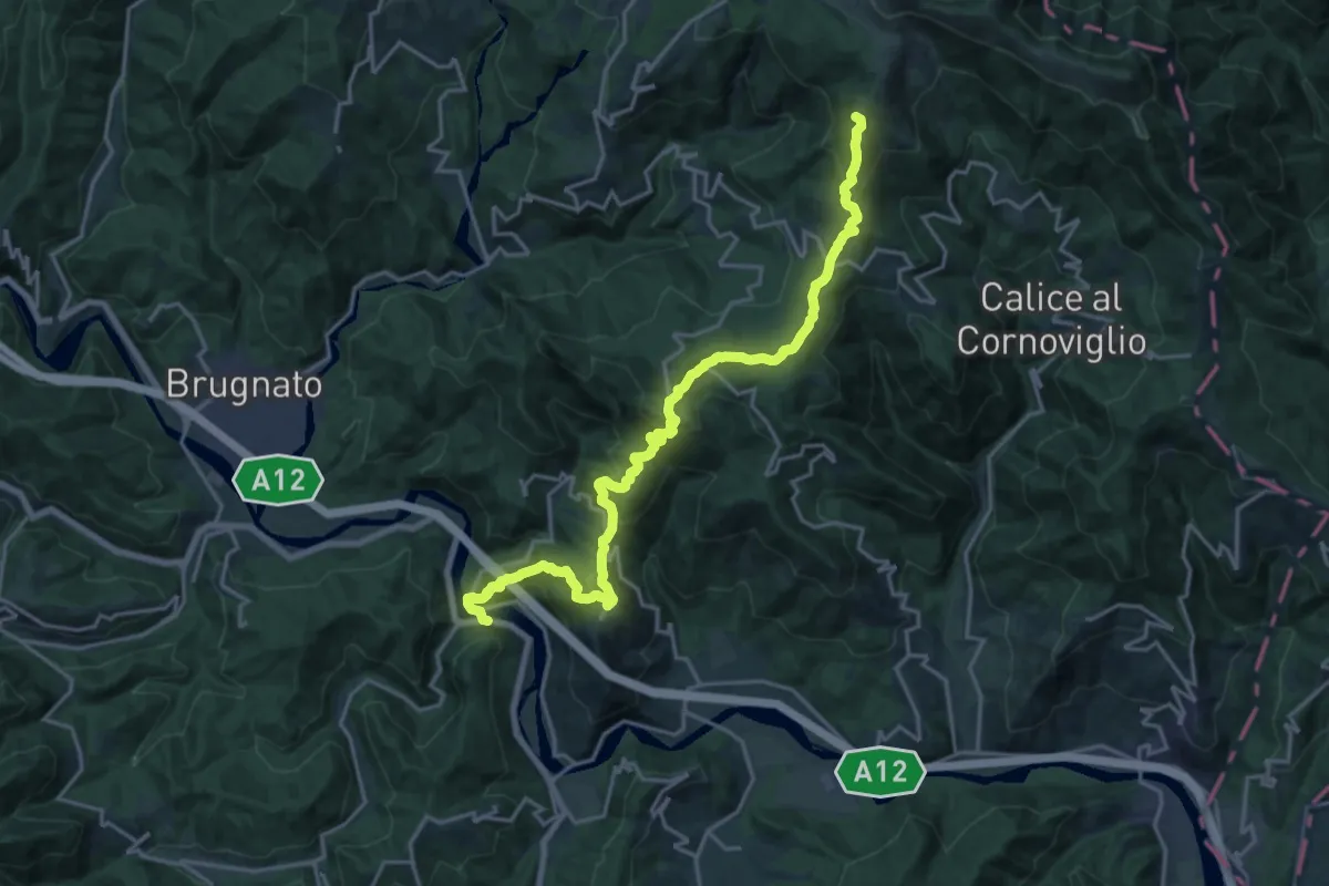
Ponte Ramello – Quattro Strade – Beverone – Casoni
22.0 km · ↑ 1173 m · 7 h 44 min · 14 km away
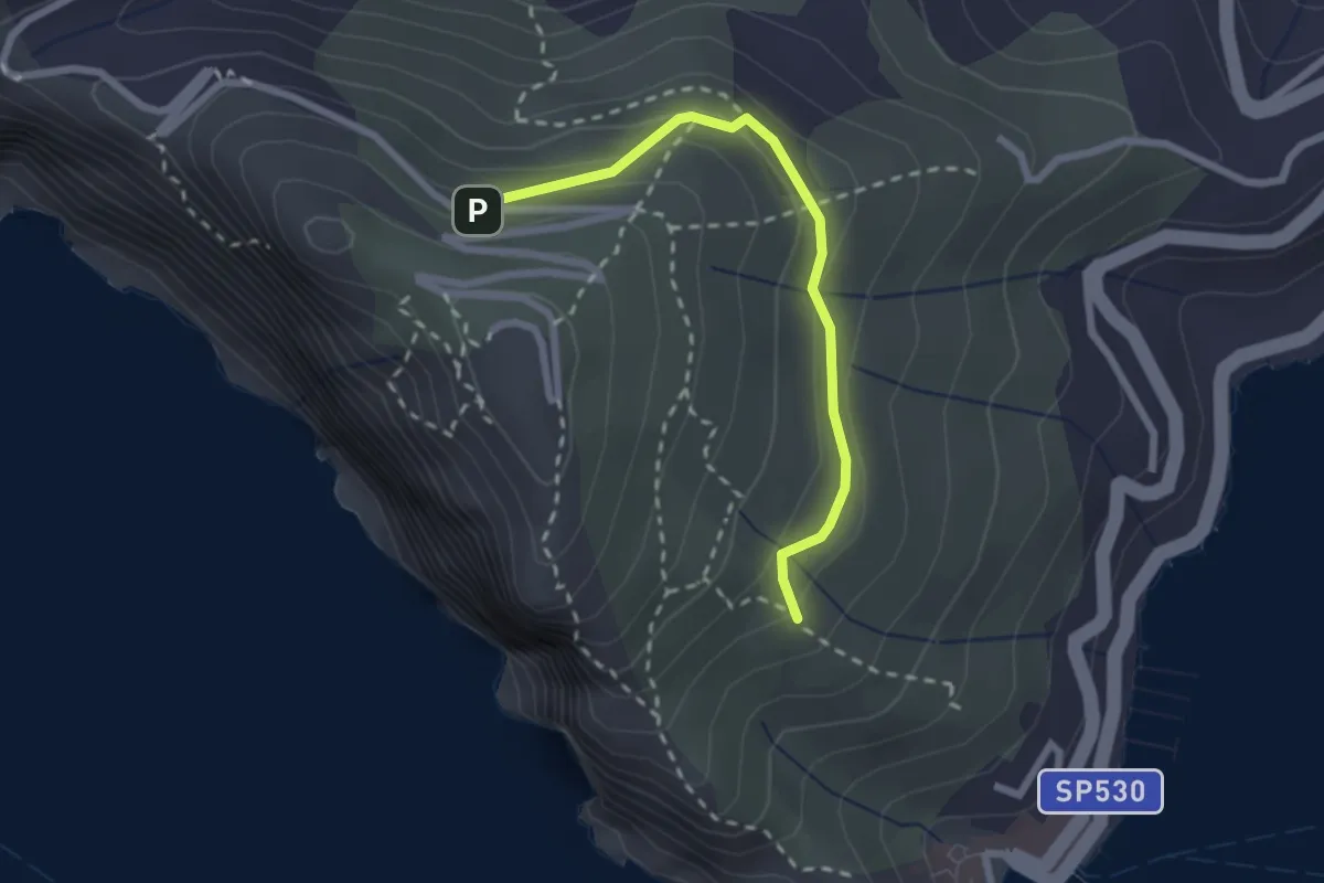
Easy · Trail
Cave del Muzzerone – innesto sent. 519
2.4 km · ↑ 117 m · 49 min · 14 km away
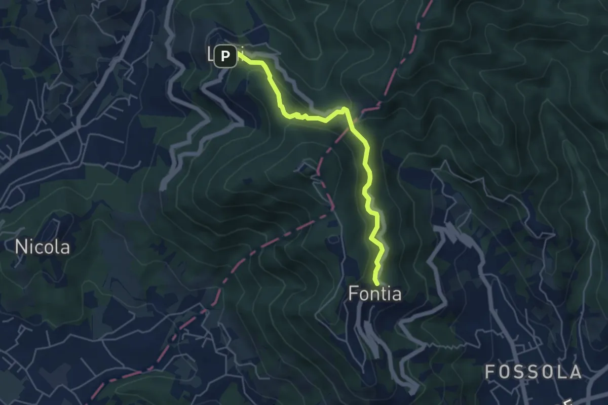
Easy · Trail
Ortonovo – Percorso 362
4.6 km · ↑ 238 m · 1 h 37 min · 14 km away
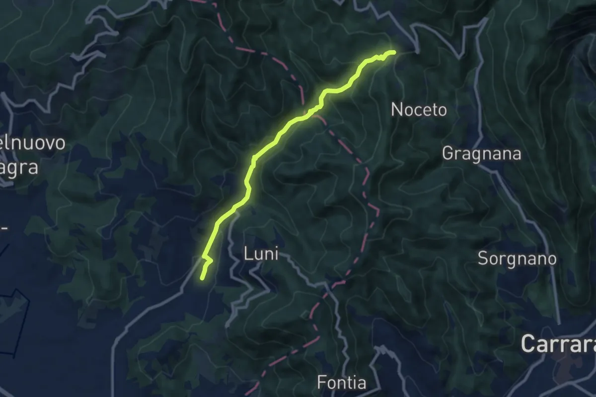
Medium · Trail
Casano – Castelpoggio
7.9 km · ↑ 432 m · 2 h 49 min · 14 km away
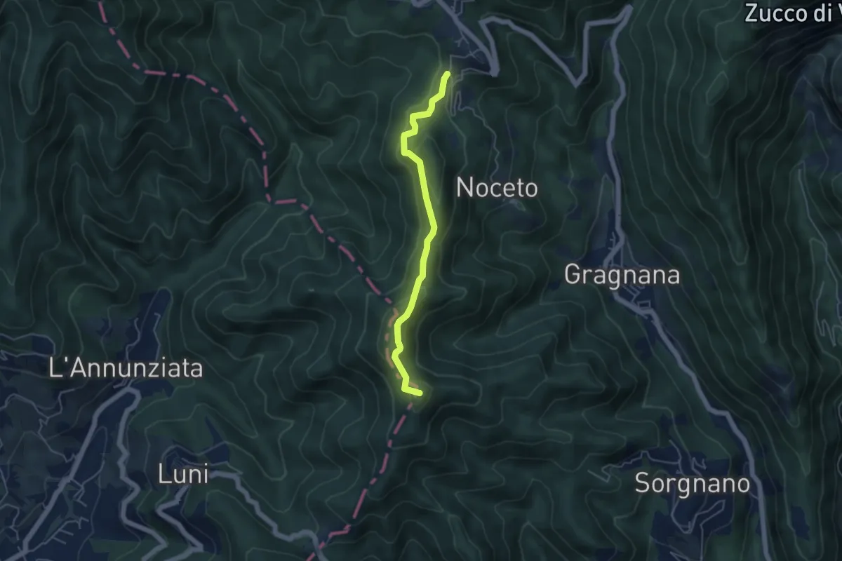
Easy · Summit
Ortonovo – Castelpoggio
4.5 km · ↑ 206 m · 1 h 30 min · 14 km away
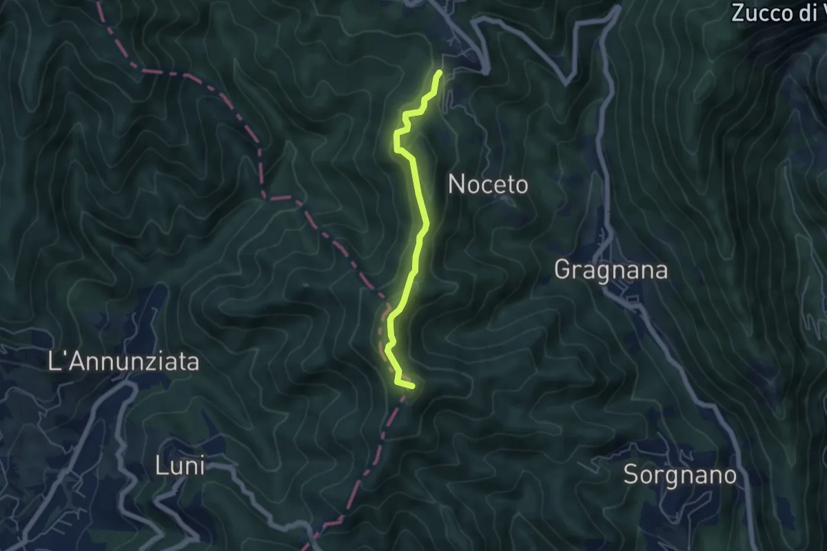
Easy · Summit
Cammino di Aronte - Tappa 2
4.5 km · ↑ 206 m · 1 h 30 min · 14 km away
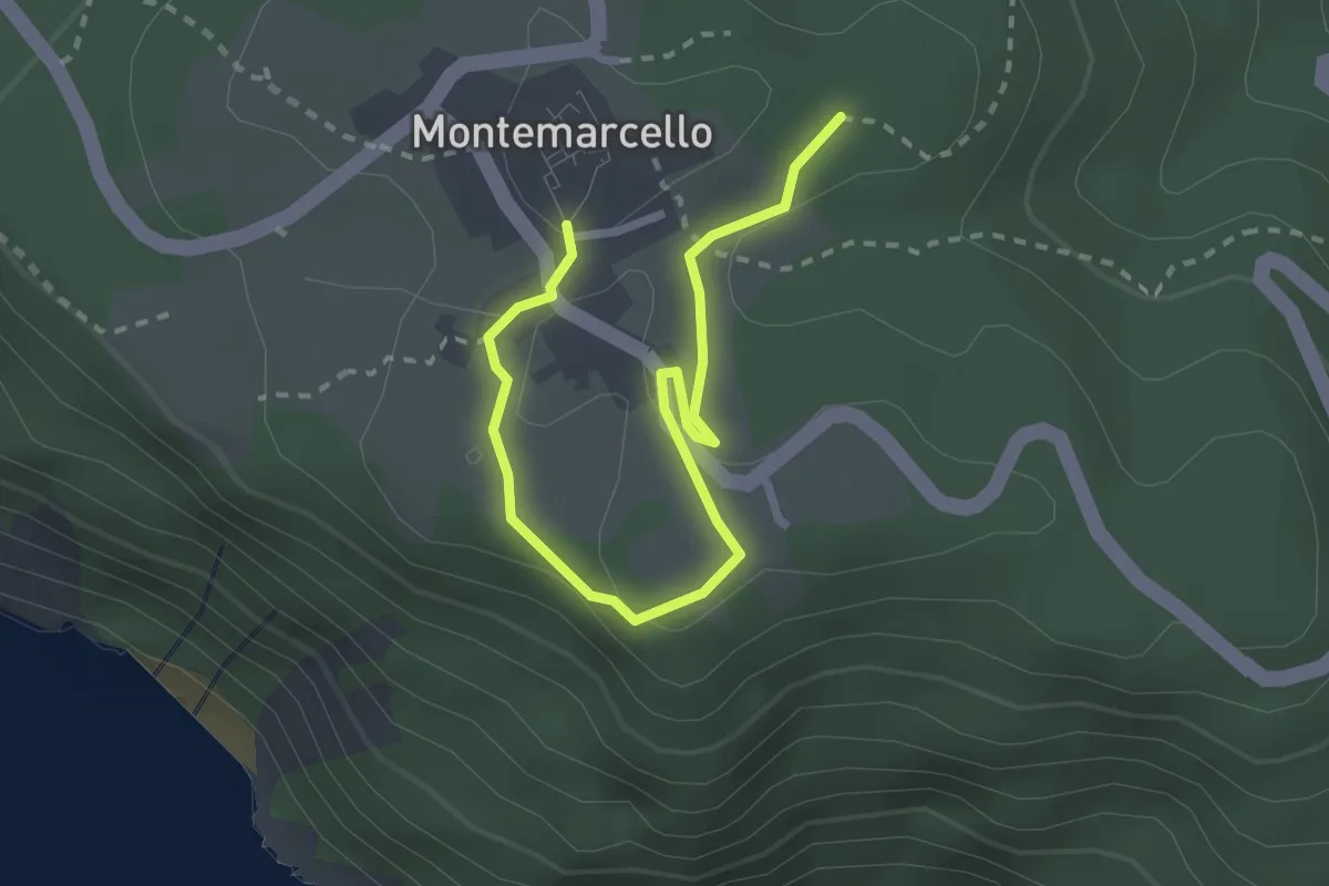
Easy · Trail
Bivio 436 - M. Marana
3.2 km · ↑ 50 m · 51 min · 14 km away
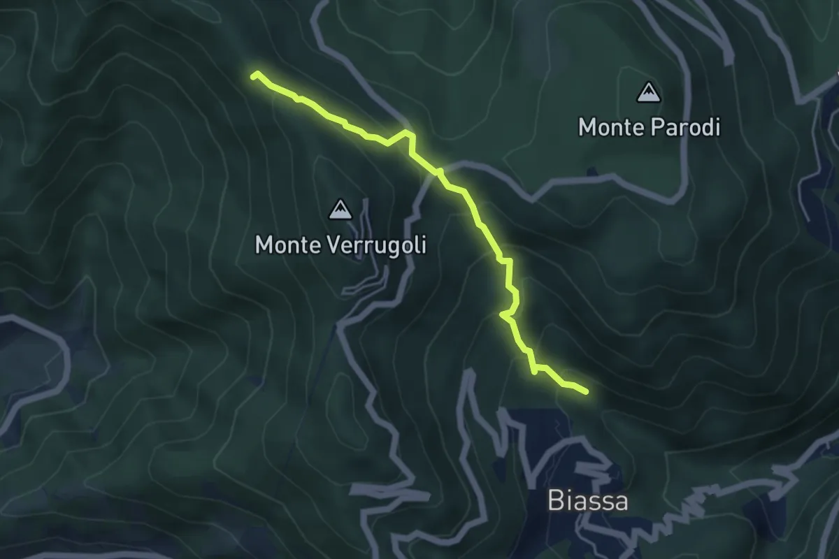
Medium · Trail
Fosso di Piazza – Appulso
4.2 km · ↑ 346 m · 1 h 45 min · 14 km away
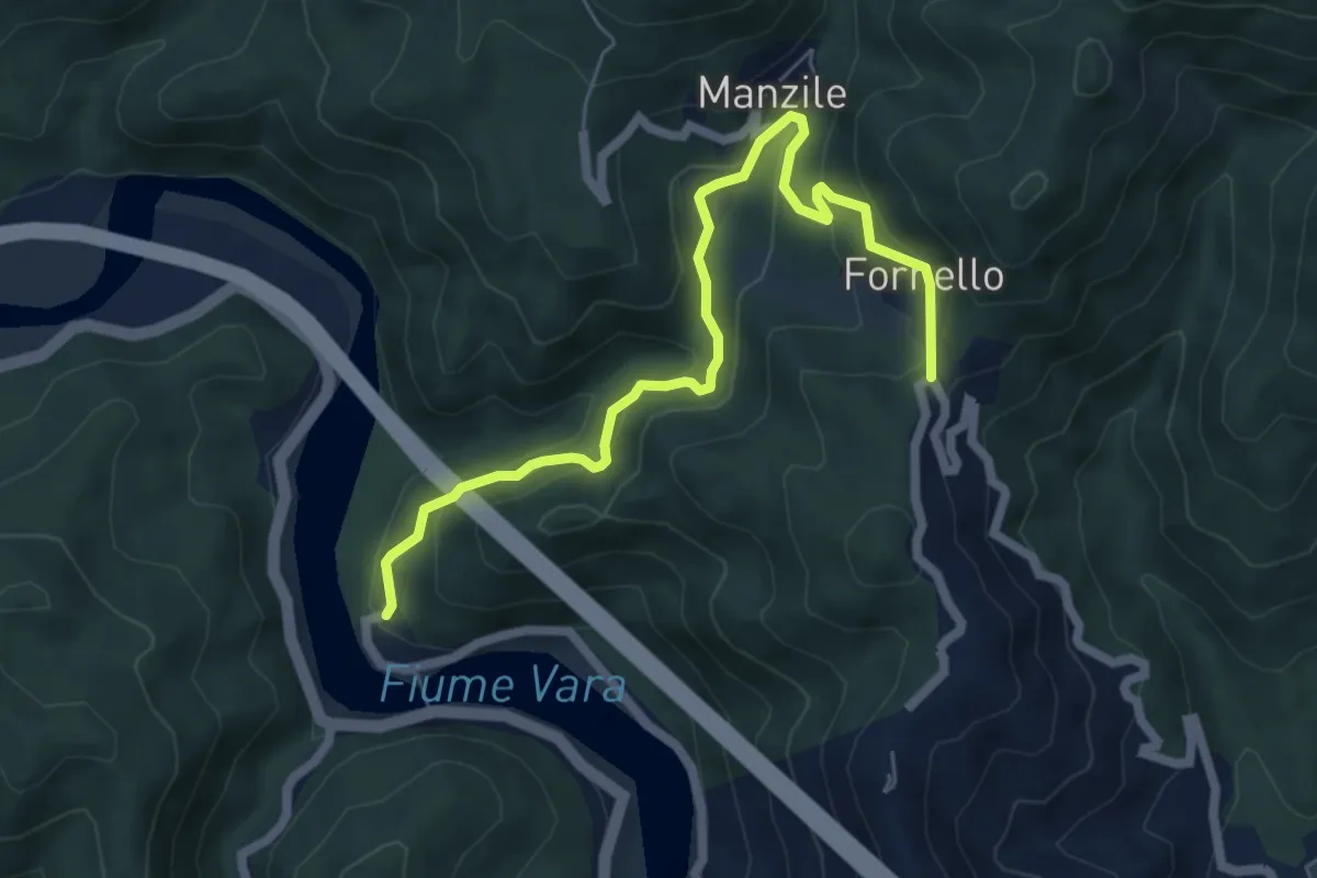
Medium · Trail
Ramello - Quattro Strade
6.8 km · ↑ 365 m · 2 h 24 min · 14 km away