Trails near Santo Stefano di Magra
216 hikes starting within 15 km, nearest first.
Nearest first, page 5 of 5
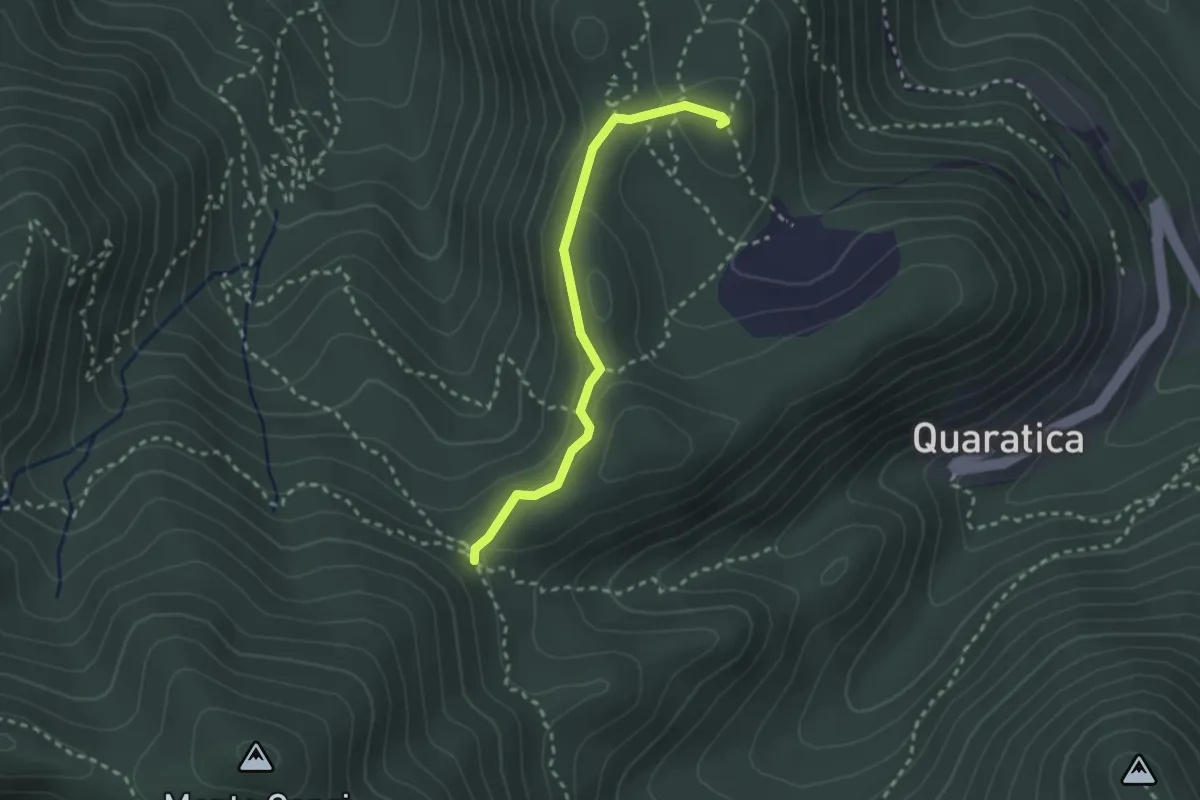
Demanding · Summit
Madonna dell'Agostina – Sella del Termo
2.6 km · ↑ 58 m · 44 min · 14 km away
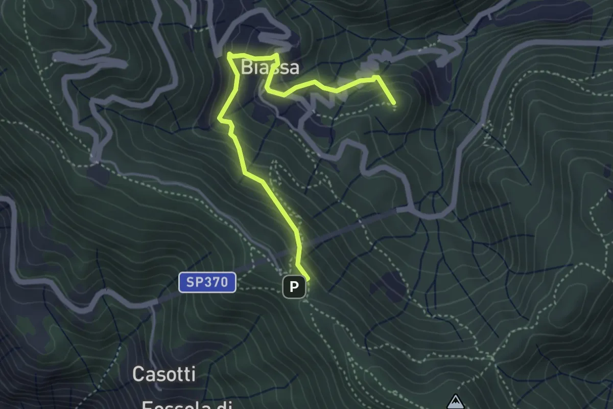
Medium · Summit
Sentiero Liguria - Tappa 3 - variante
4.3 km · ↑ 332 m · 1 h 44 min · 14 km away
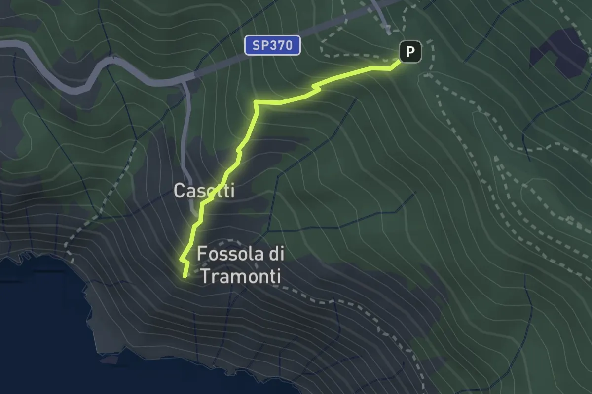
Easy · Trail
Sant'Antonio – Fossola
2.0 km · ↑ 315 m · 1 h 9 min · 14 km away
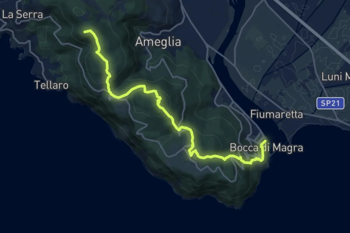
Medium · Summit
Alta Via del Golfo: Bocca di Magra - Il Termo
13.9 km · ↑ 762 m · 4 h 56 min · 14 km away
Expert · Summit
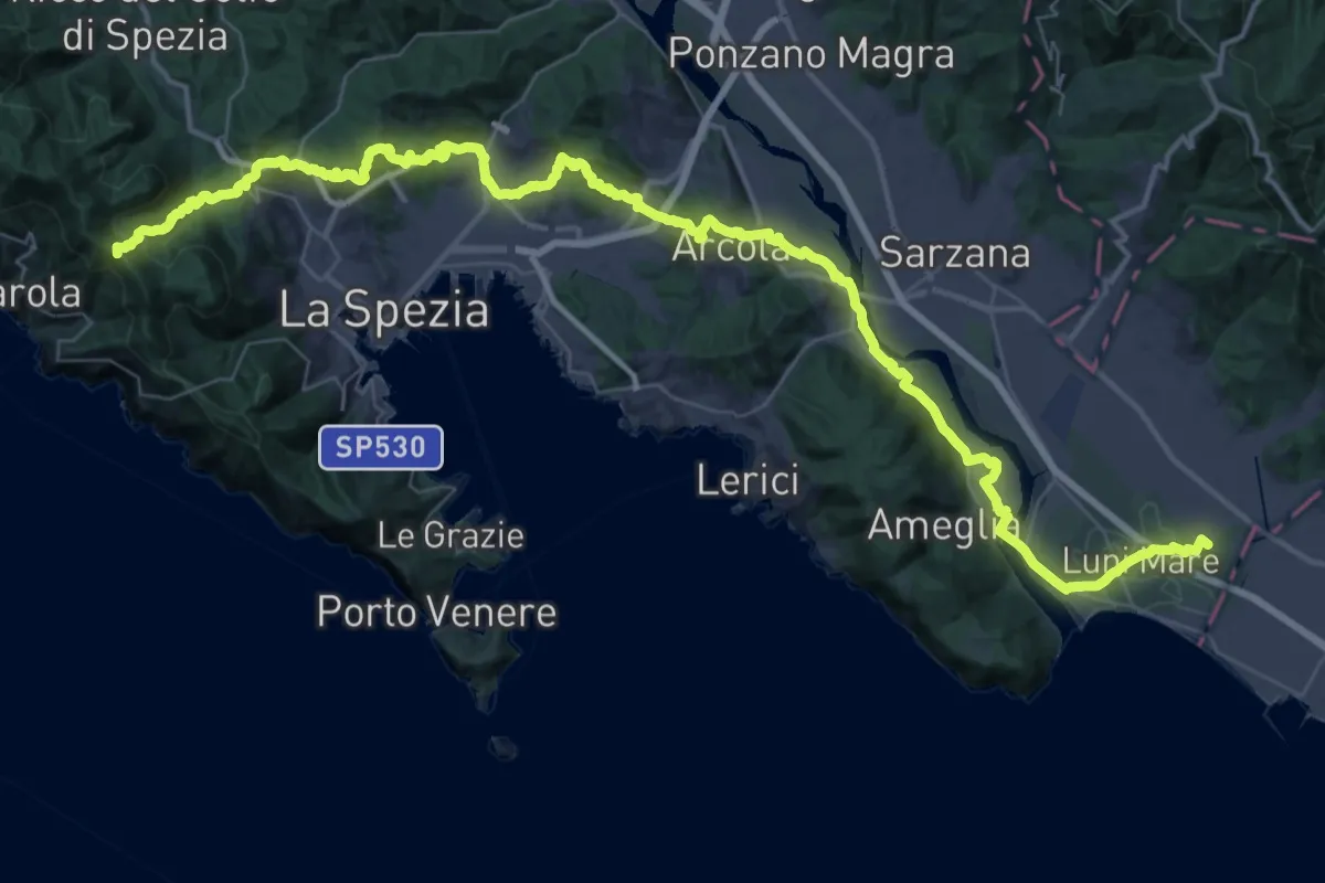
Via della Costa - Tappa 12
65.8 km · ↑ 1657 m · 19 h 7 min · 14 km away
Medium · Trail
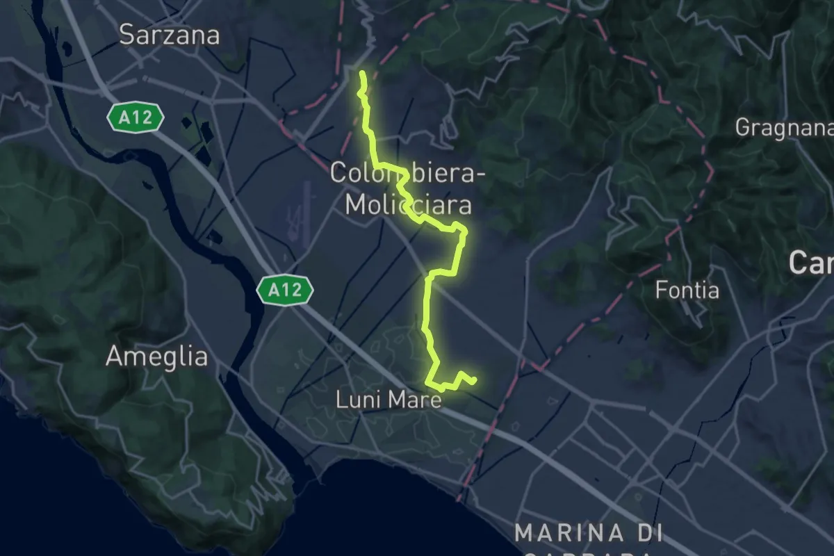
Sentiero dei Ducati Variante Luni
16.3 km · ↑ 61 m · 3 h 59 min · 14 km away
Demanding · Trail
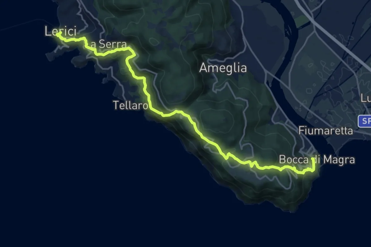
Bocca di Magra – Lerici
18.9 km · ↑ 924 m · 6 h 28 min · 14 km away
Demanding · Trail
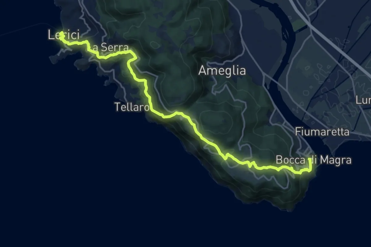
Sentiero Liguria - Tappa 1
19.1 km · ↑ 933 m · 6 h 33 min · 14 km away
Medium · Trail
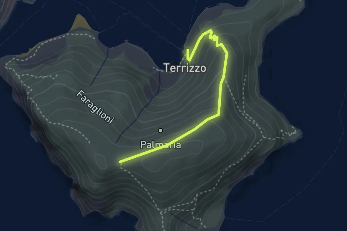
Isola Palmaria (strada dei condannati)
3.0 km · ↑ 164 m · 1 h 4 min · 14 km away
Demanding · Trail
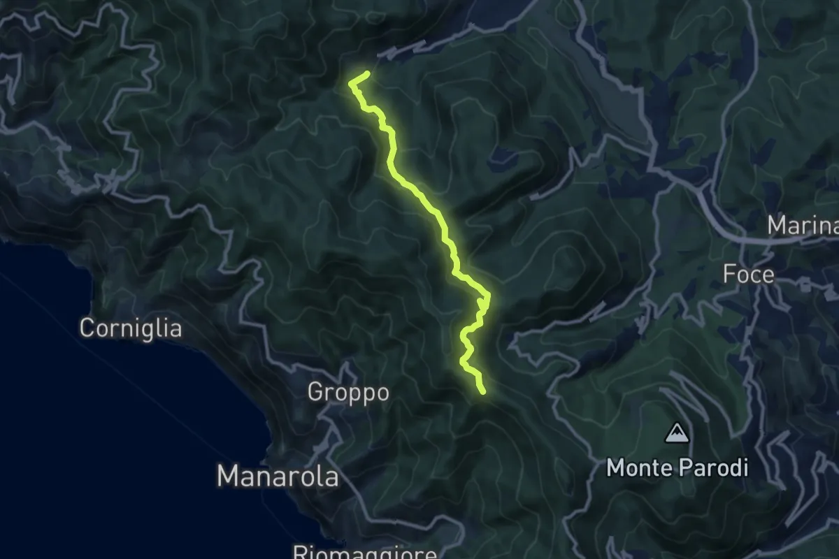
Casella – Sella La Croce
9.1 km · ↑ 556 m · 3 h 21 min · 14 km away
Demanding · Trail
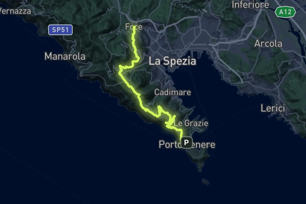
Alta Via del Golfo: La Foce - Portovenere
17.1 km · ↑ 970 m · 6 h 16 min · 14 km away
Medium · Trail
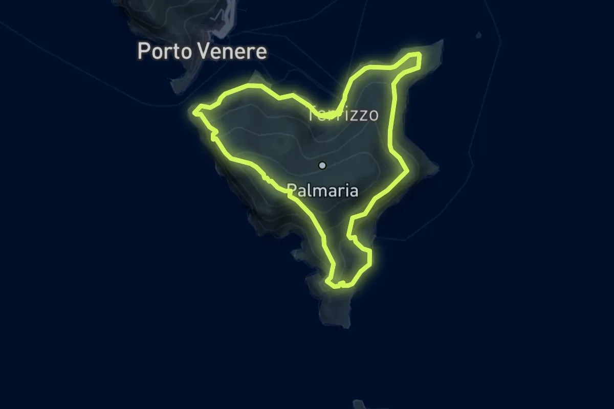
Isola Palmaria (giro dell'isola)
12.2 km · ↑ 624 m · 4 h 15 min · 14 km away
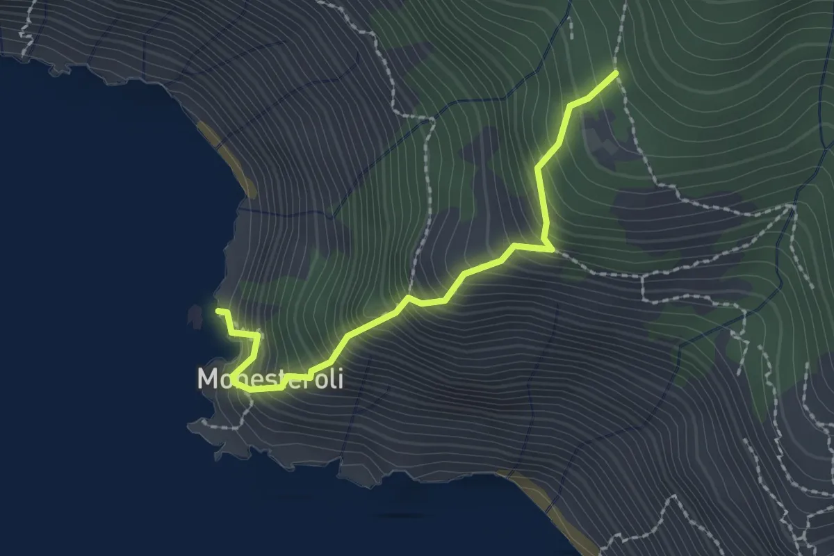
Medium · Trail
Scalinata Monesteroli
2.1 km · ↑ 434 m · 1 h 27 min · 14 km away
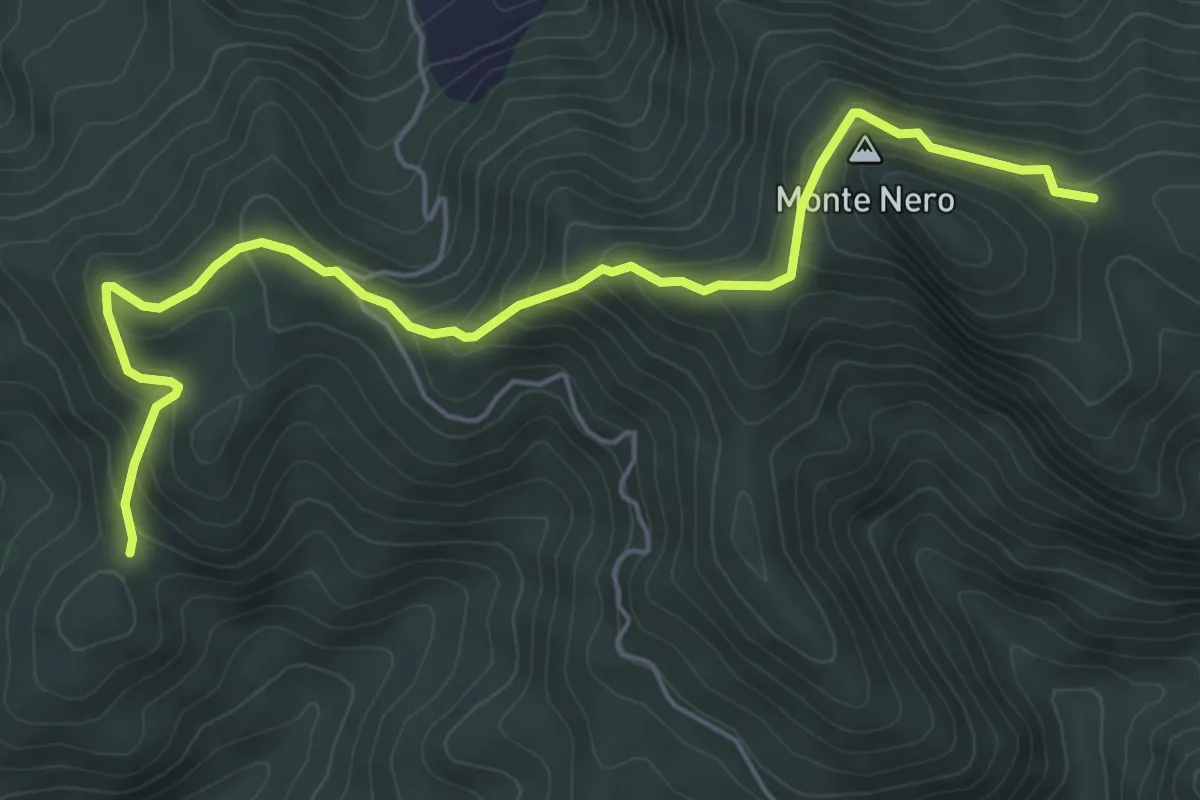
Medium · Trail
Madonna dell'Olivo – Monte Nero
6.4 km · ↑ 389 m · 2 h 21 min · 14 km away
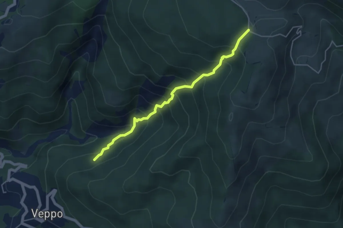
Medium · Trail
Innesto 153 - Fosso Della Gruzza - Gruzza di Veppo
4.0 km · ↑ 467 m · 1 h 58 min · 14 km away
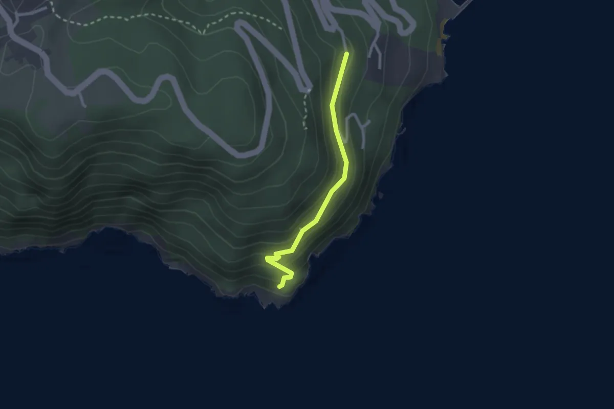
Easy · Trail
Punta Bianca – Carmelitane scalze
2.2 km · ↑ 170 m · 53 min · 14 km away
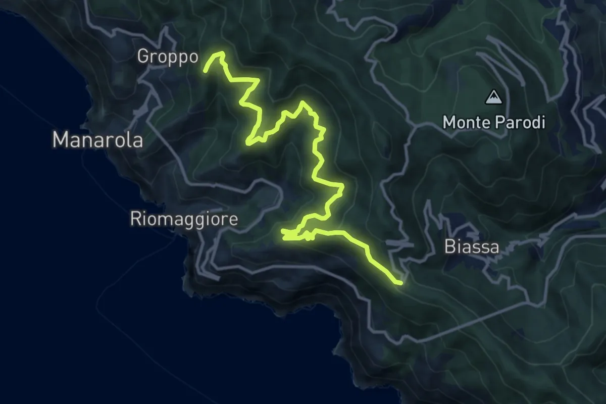
Demanding · Summit
Telegrafo – Volastra (Strada dei Santuari)
13.5 km · ↑ 1102 m · 5 h 34 min · 14 km away
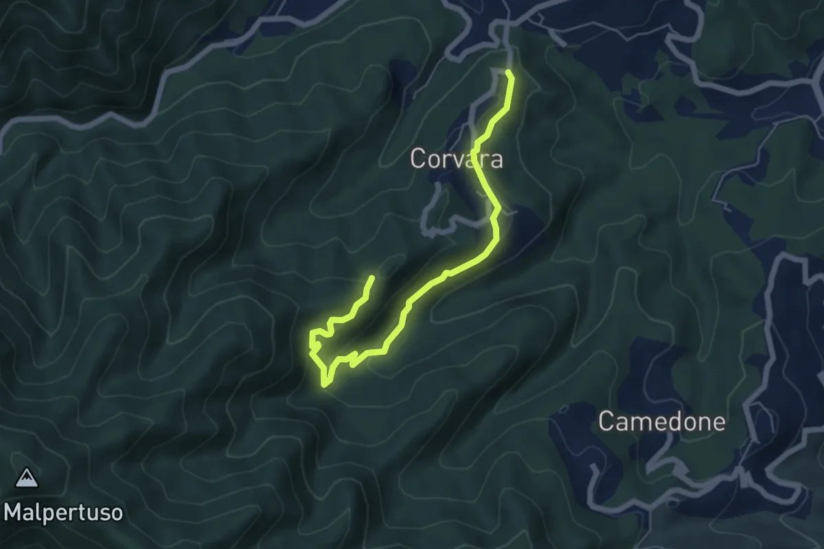
Easy · Trail
Corvara - Bertogna – Torchio – S.Anna
6.1 km · ↑ 288 m · 2 h 4 min · 15 km away
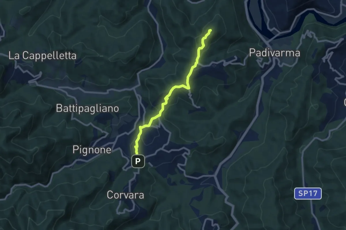
Medium · Summit
Ponte Ramello – Madonna del Trezzo
7.4 km · ↑ 266 m · 2 h 19 min · 15 km away
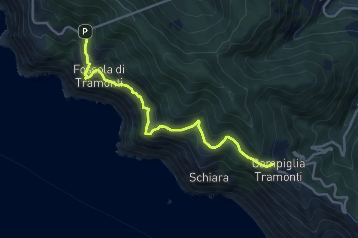
Medium · Trail
Campiglia - Fossola - S.P. 370 Litoranea
7.2 km · ↑ 626 m · 3 h 4 min · 15 km away
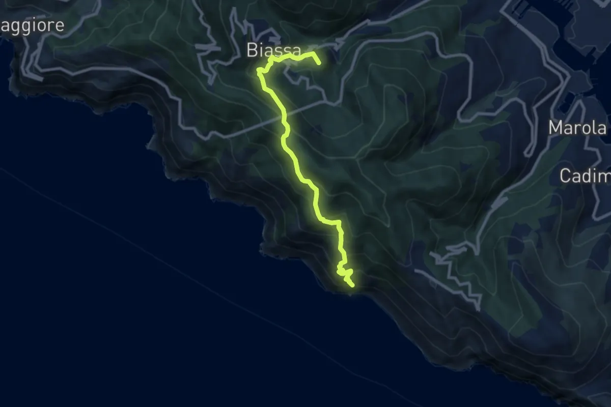
Medium · Summit
Pegazzano – Biassa – S.Antonio – Schiara
8.4 km · ↑ 746 m · 3 h 36 min · 15 km away
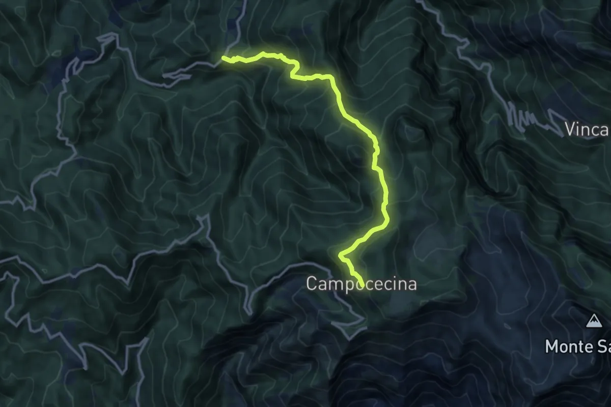
Demanding · Trail
Tenerano – Rifugio Carrara
10.7 km · ↑ 936 m · 4 h 33 min · 15 km away
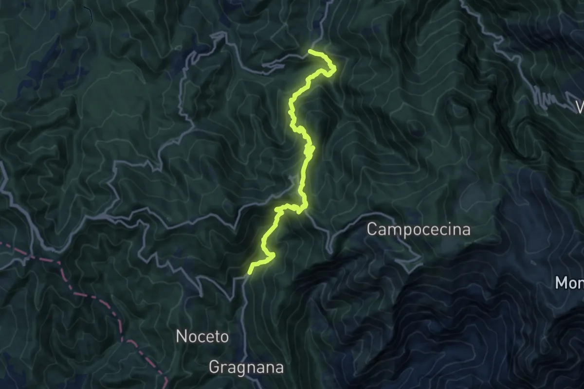
Demanding · Trail
Ponte Storto – Maestà della Villa
13.5 km · ↑ 1285 m · 5 h 58 min · 15 km away
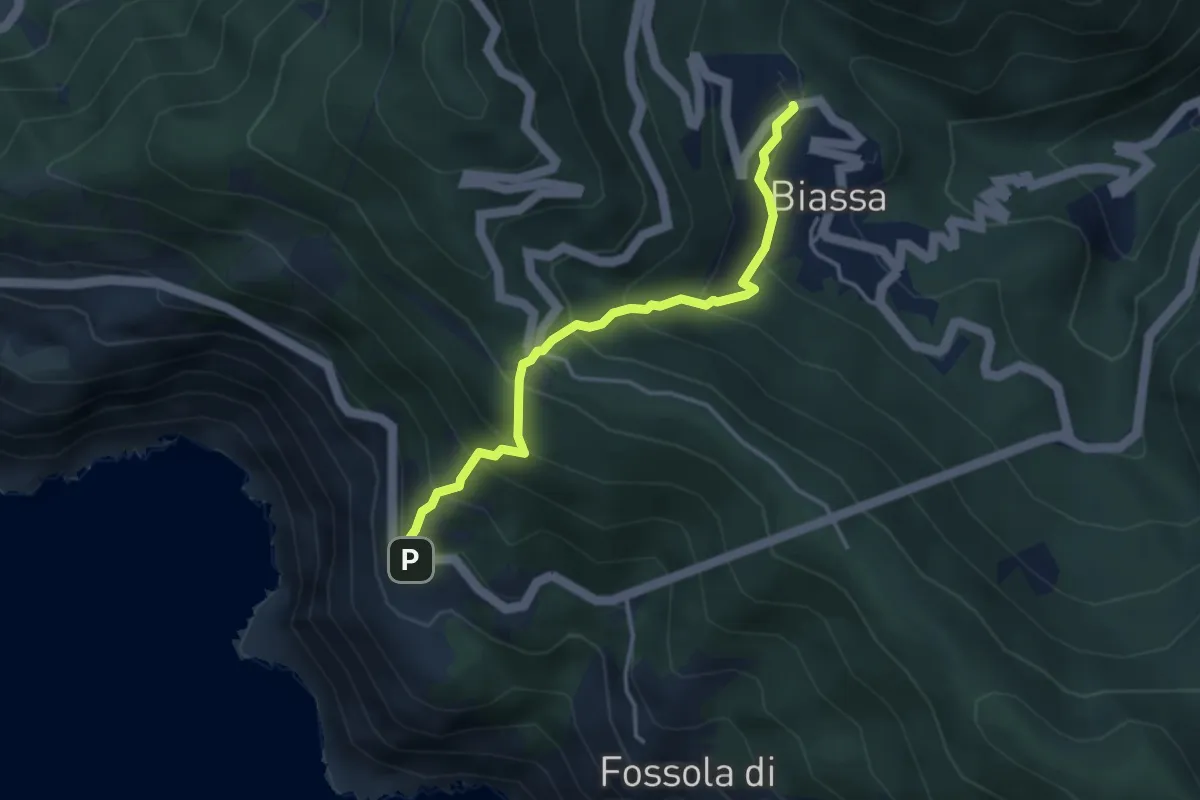
Medium · Trail
Biassa - Telegrafo – Campi - P.ta Pineda
3.8 km · ↑ 401 m · 1 h 46 min · 15 km away