Trails near Sarezzo
327 hikes starting within 15 km, nearest first.
Nearest first, page 2 of 7
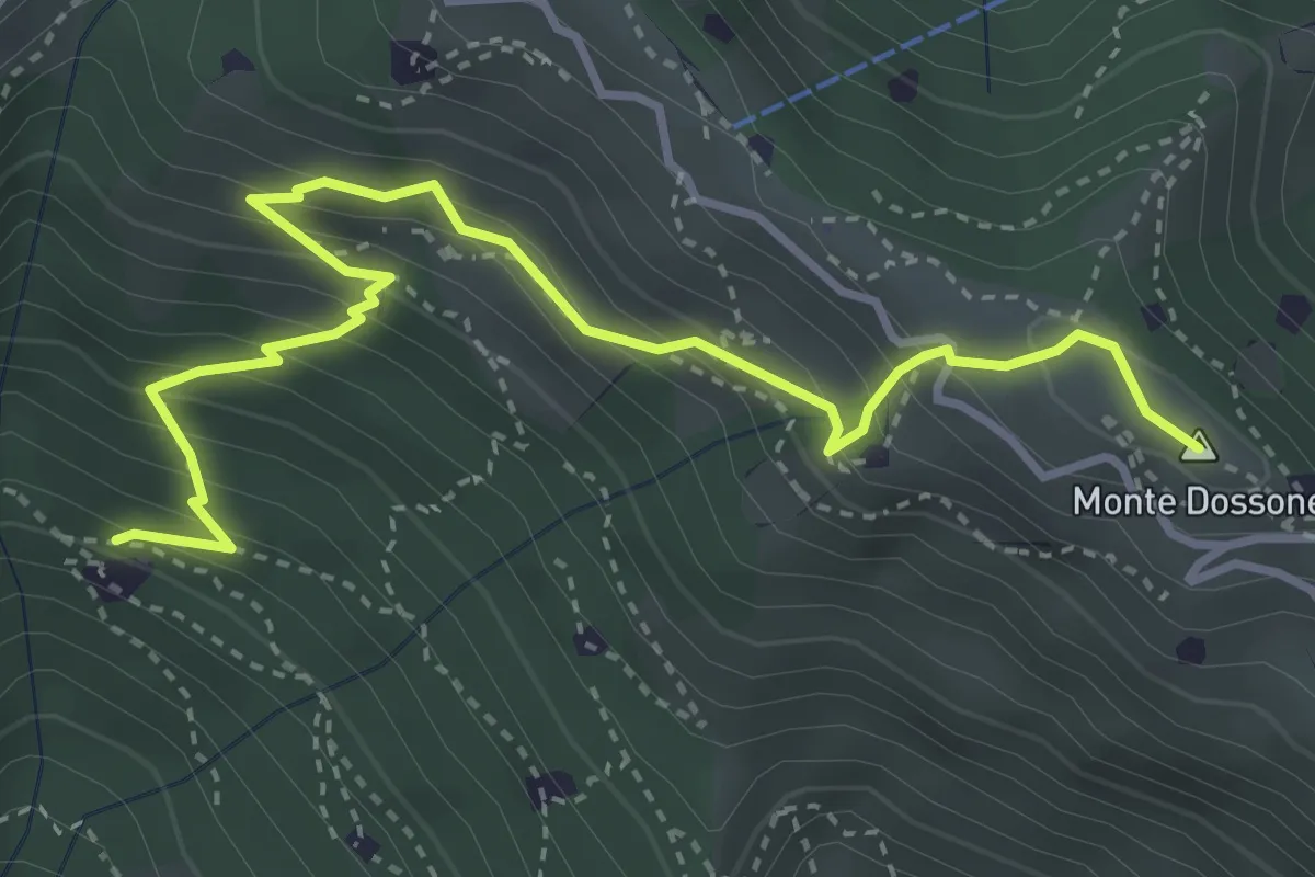
Medium · Summit
Lumezzane (Cascina Al Colonel) - Monte Dossone
4.3 km · ↑ 469 m · 2 h 3 min · 4 km away
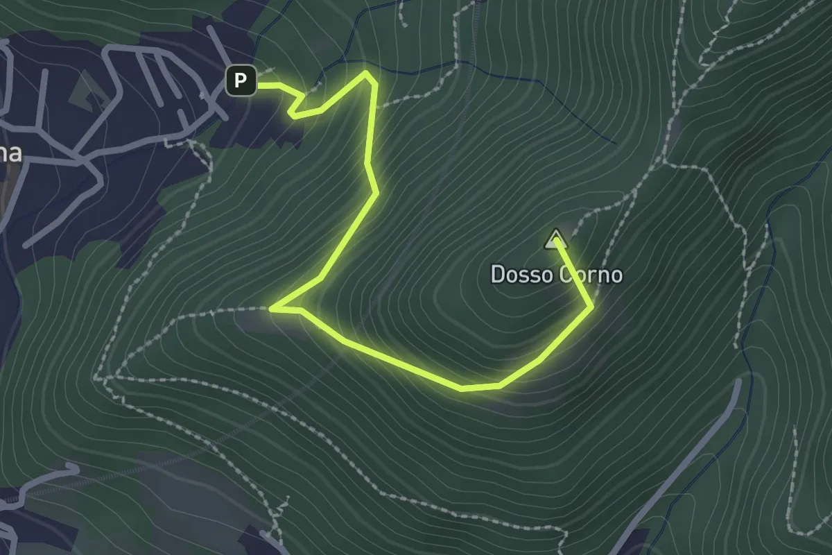
Medium · Summit
Villa Carcina (Caricatore) – Crusal
2.7 km · ↑ 292 m · 1 h 16 min · 4 km away
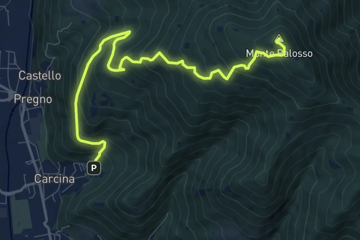
Demanding · Summit
Villa Carcina (Caricatore) – Monte Palosso
9.9 km · ↑ 908 m · 4 h 18 min · 4 km away
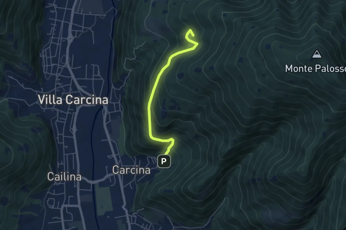
Medium · Summit
Villa Carcina - Sentiero 17
4.5 km · ↑ 395 m · 1 h 56 min · 4 km away
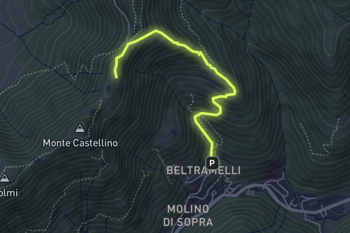
Medium · Cabin
Polaveno (Gombio) - Santa Maria del Giogo
4.3 km · ↑ 452 m · 2 h · 4 km away
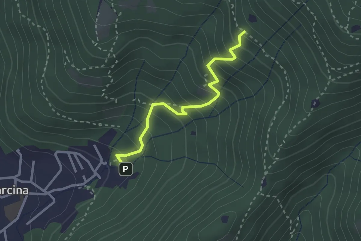
Medium · Trail
Villa Carcina - Sentiero 22
2.3 km · ↑ 303 m · 1 h 12 min · 4 km away
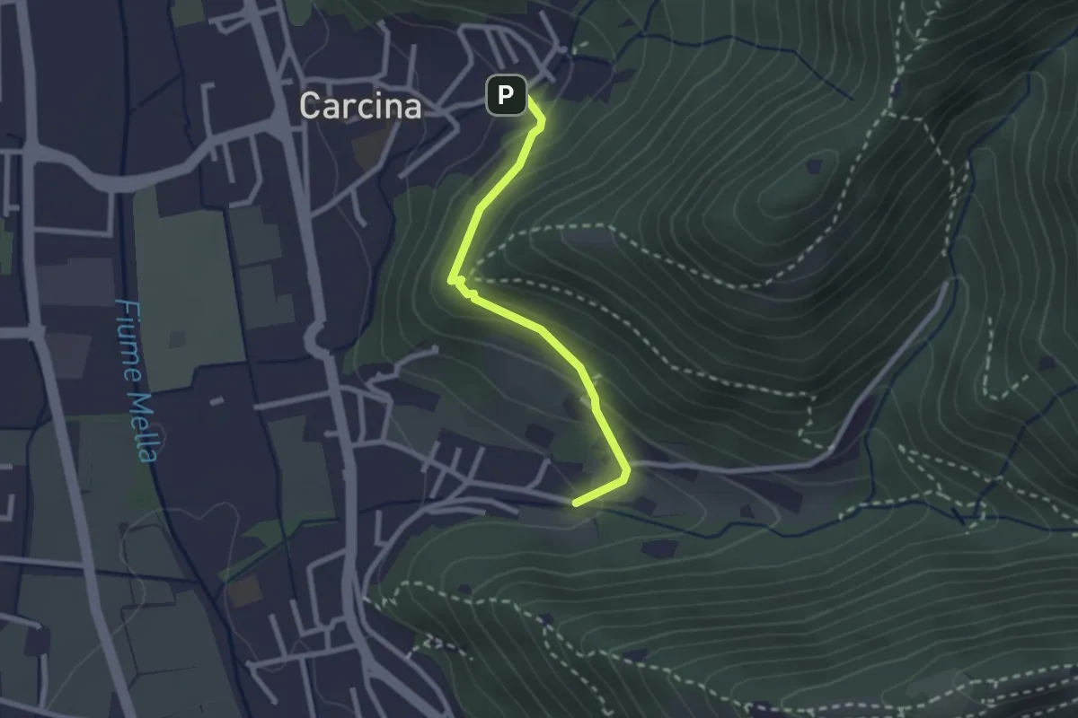
Easy · Trail
Villa Carcina (Carcina) - Costorio
2.2 km · ↑ 126 m · 48 min · 4 km away
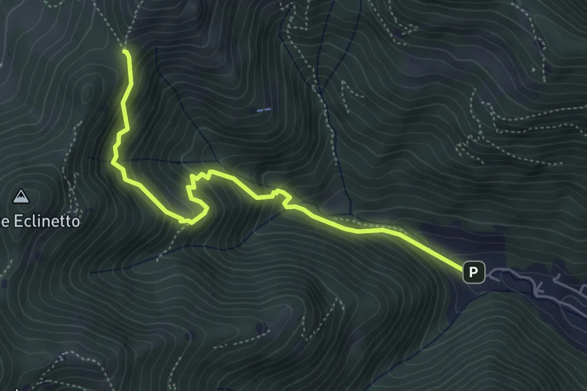
Medium · Trail
Gardone Val Trompia (Valle di Gardone) – Croce di Pezzolo
5.3 km · ↑ 534 m · 2 h 25 min · 4 km away
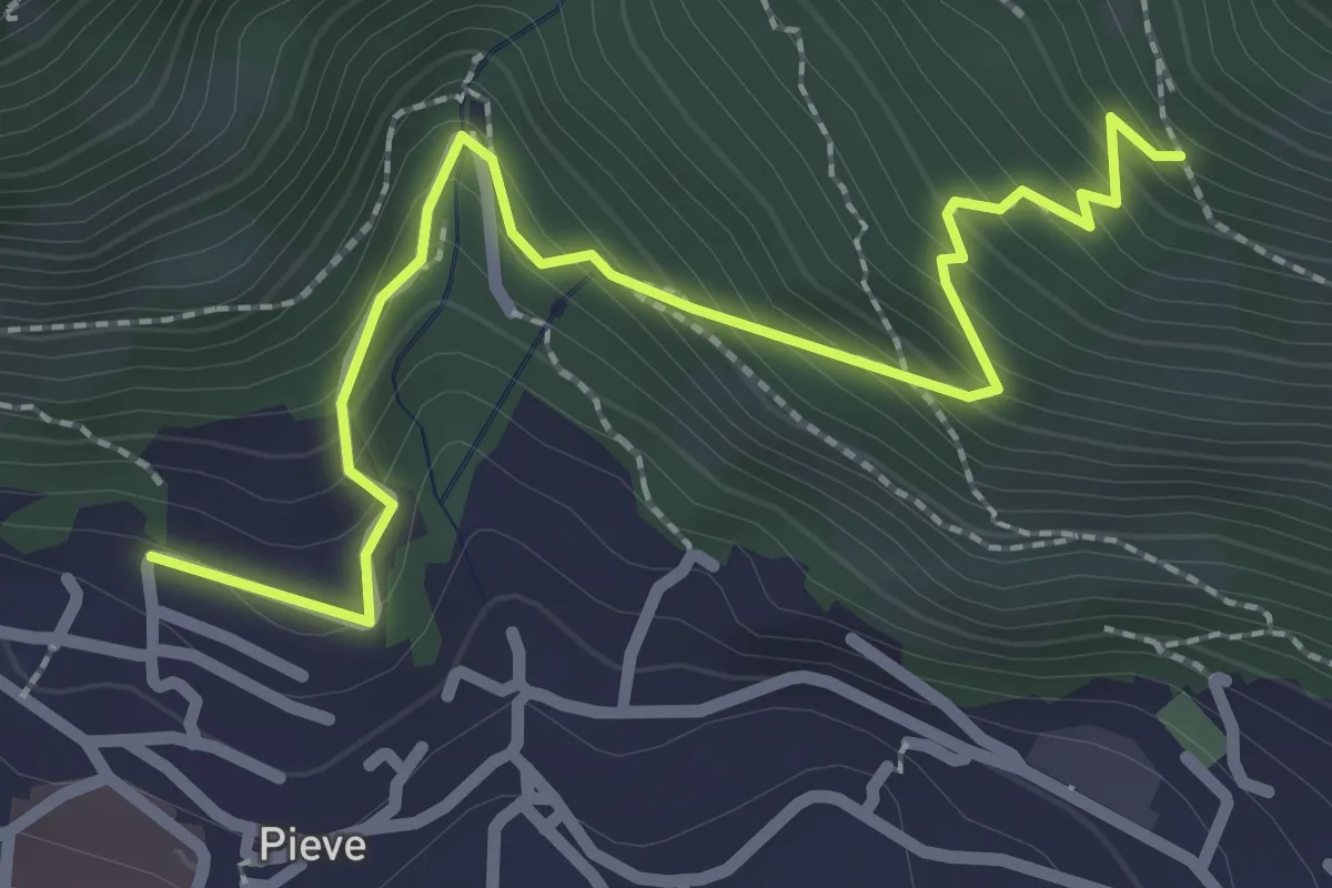
Medium · Trail
Lumezzane (Pieve) - Valle dei Fiori - Dossello
2.9 km · ↑ 292 m · 1 h 19 min · 4 km away
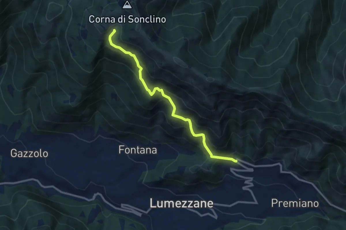
Medium · Trail
Lumezzane (Ver) – Malga Artecle
7.2 km · ↑ 618 m · 3 h 2 min · 4 km away
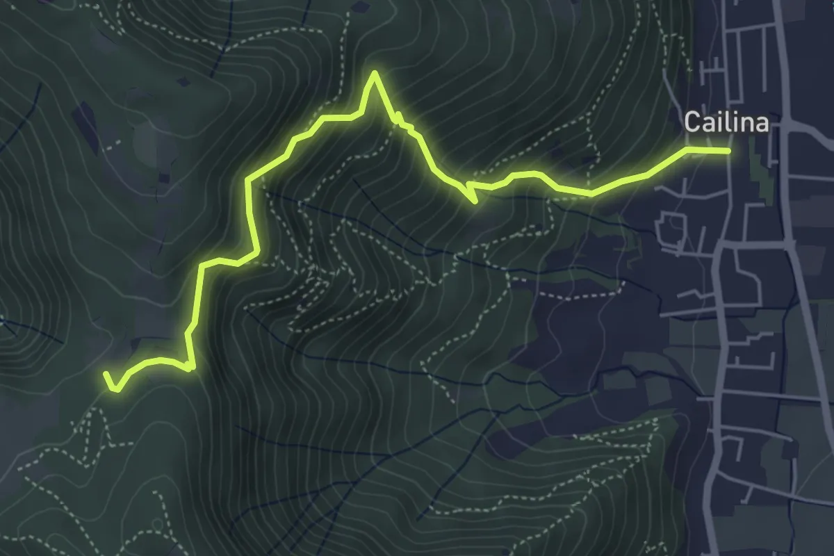
Medium · Trail
Villa Carcina (Cailina) – Quarone
5.8 km · ↑ 607 m · 2 h 42 min · 4 km away
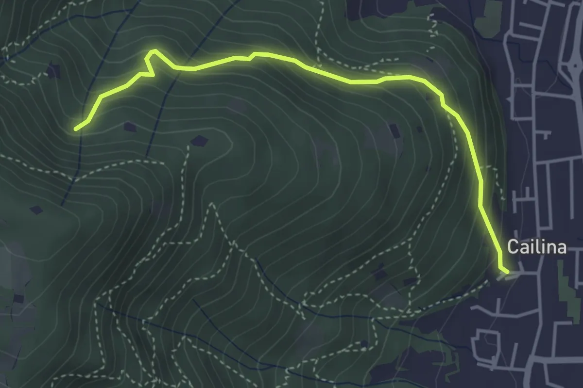
Medium · Trail
Villa Carcina (Cailina) – Roccolo del Prete
4.0 km · ↑ 379 m · 1 h 45 min · 4 km away
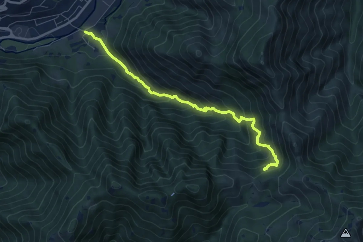
Medium · Trail
Sentiero storico naturalistico Valle di Vandeno
7.2 km · ↑ 684 m · 3 h 11 min · 4 km away
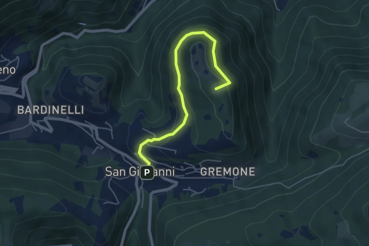
Demanding · Summit
Sentiero della Pugna
4.4 km · ↑ 219 m · 1 h 30 min · 4 km away
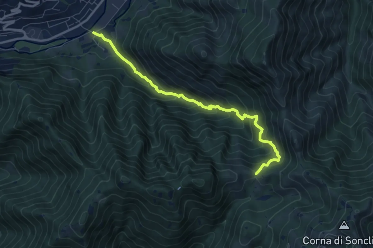
Medium · Trail
Marcheno (Rovedolo) – Forcella di Vandeno
7.6 km · ↑ 730 m · 3 h 23 min · 4 km away
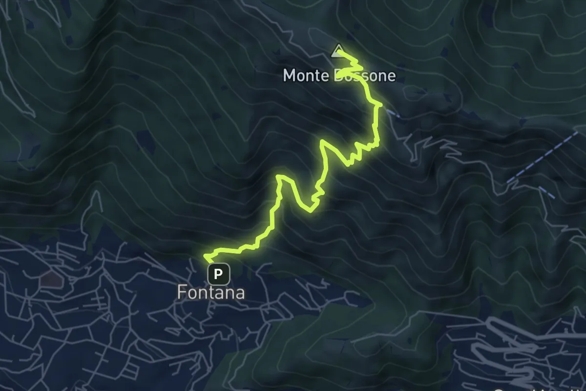
Medium · Summit
Lumezzane (Fontana) - Monte Dossone
6.5 km · ↑ 760 m · 3 h 11 min · 4 km away
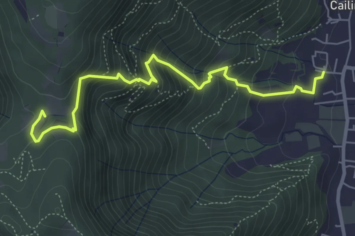
Medium · Trail
Villa Carcina (Cailina) – Quarone
5.7 km · ↑ 534 m · 2 h 30 min · 5 km away
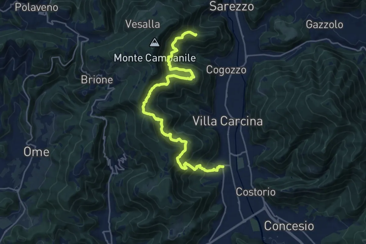
Demanding · Summit
Sentiero n° 1
19.4 km · ↑ 1506 m · 7 h 50 min · 5 km away
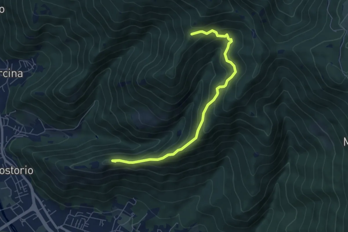
Medium · Summit
Concesio (Costorio) – Tesa del Condigolo (Innesto sentiero 378)
6.4 km · ↑ 468 m · 2 h 32 min · 5 km away
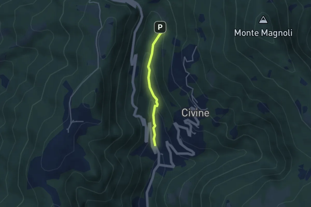
Medium · Trail
Sentiero Battista e Nicolina Drera
2.5 km · ↑ 124 m · 51 min · 5 km away
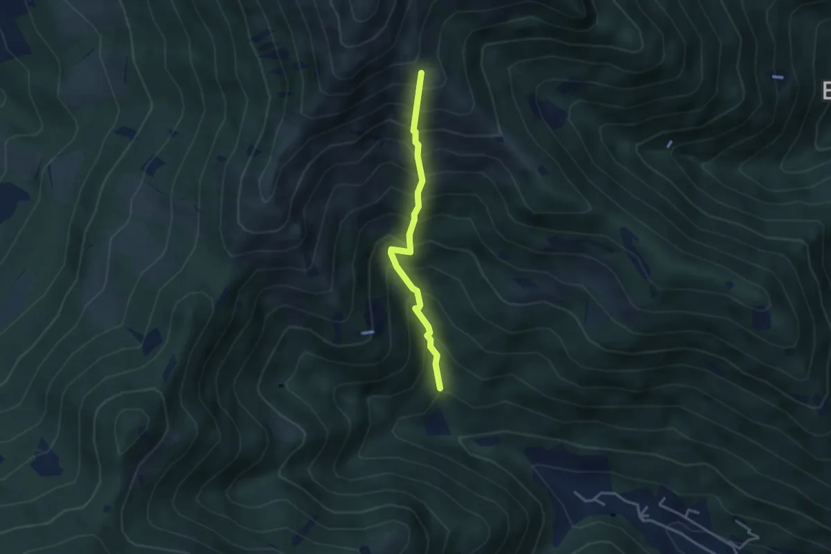
Medium · Trail
Vertical - Valle di Gardone
3.0 km · ↑ 567 m · 1 h 57 min · 5 km away
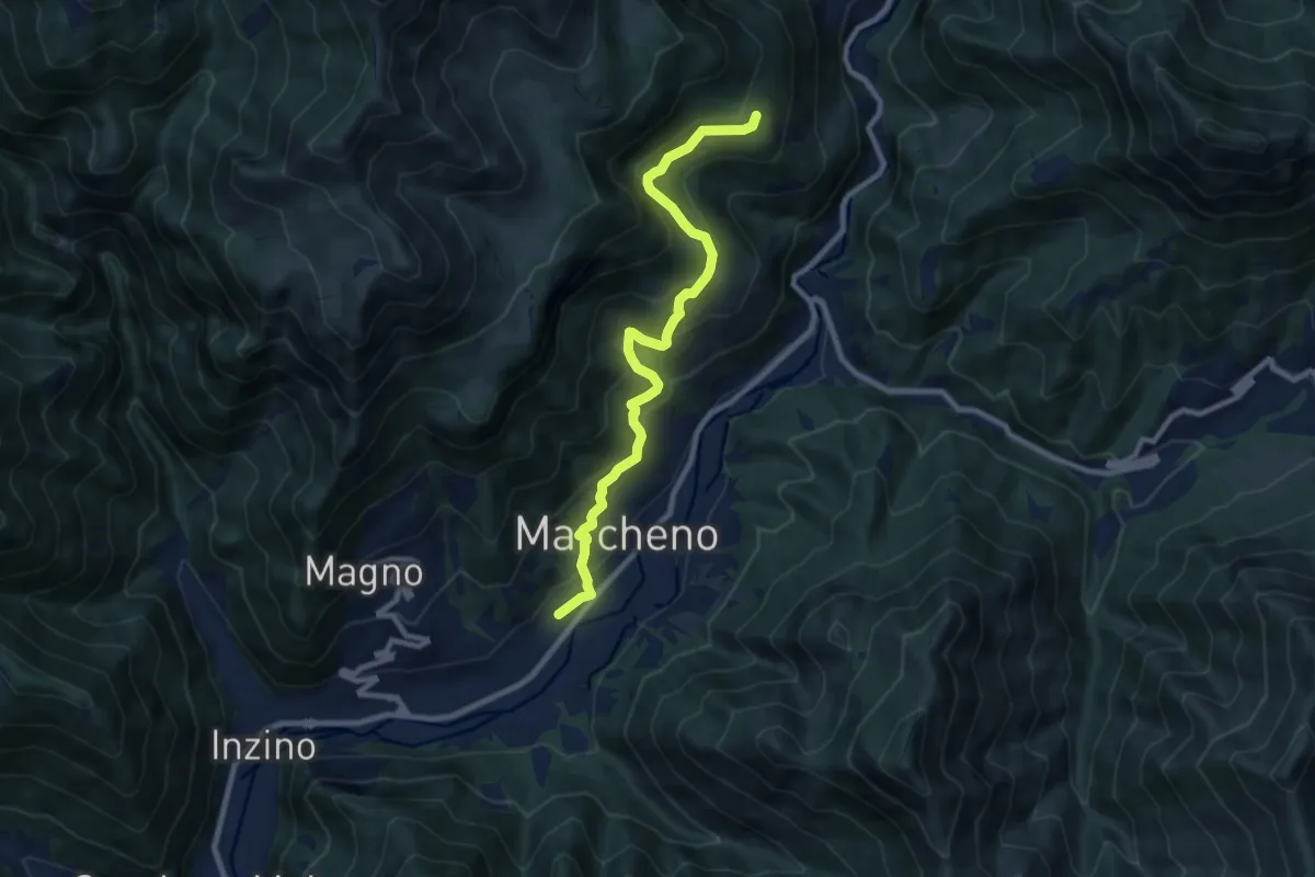
Medium · Trail
Sentiero Franco Moretti
9.1 km · ↑ 551 m · 3 h 20 min · 5 km away
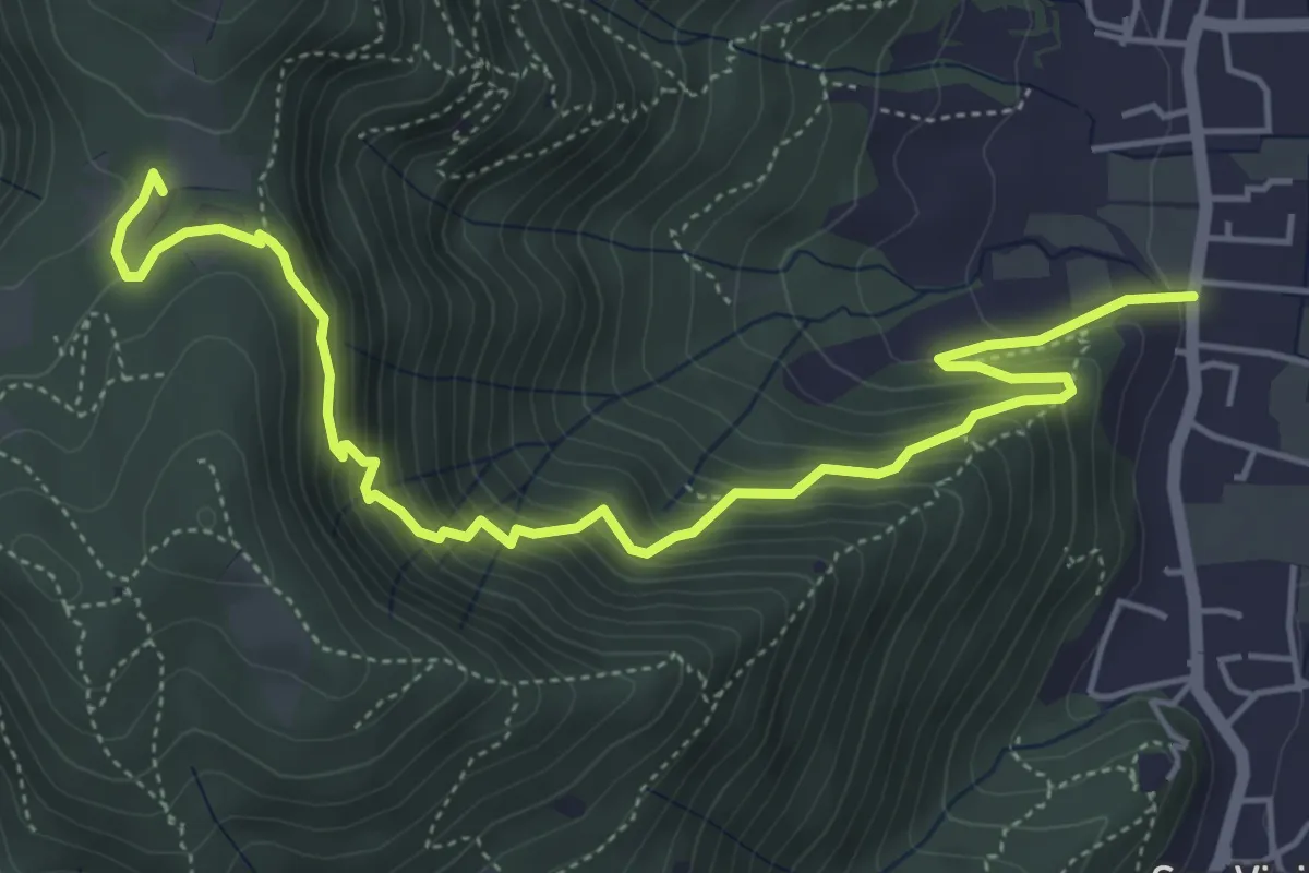
Medium · Trail
Concesio (Via Mandò) - Quarone di Sopra
6.2 km · ↑ 571 m · 2 h 42 min · 5 km away
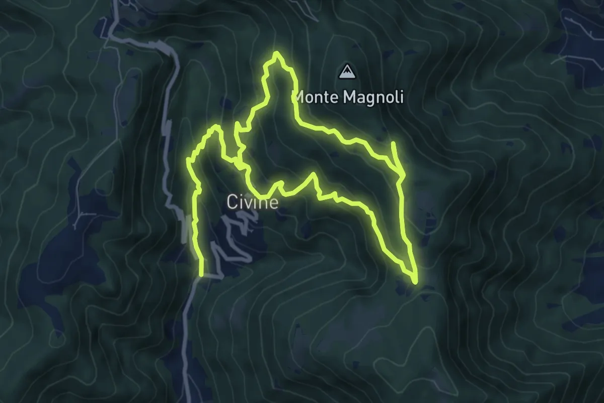
Medium · Trail
Sentiero Aldo Giacomini
7.5 km · ↑ 375 m · 2 h 49 min · 5 km away
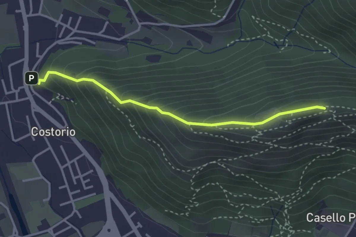
Medium · Summit
Concesio (Costorio) - Grassi Carpini
3.0 km · ↑ 329 m · 1 h 25 min · 5 km away
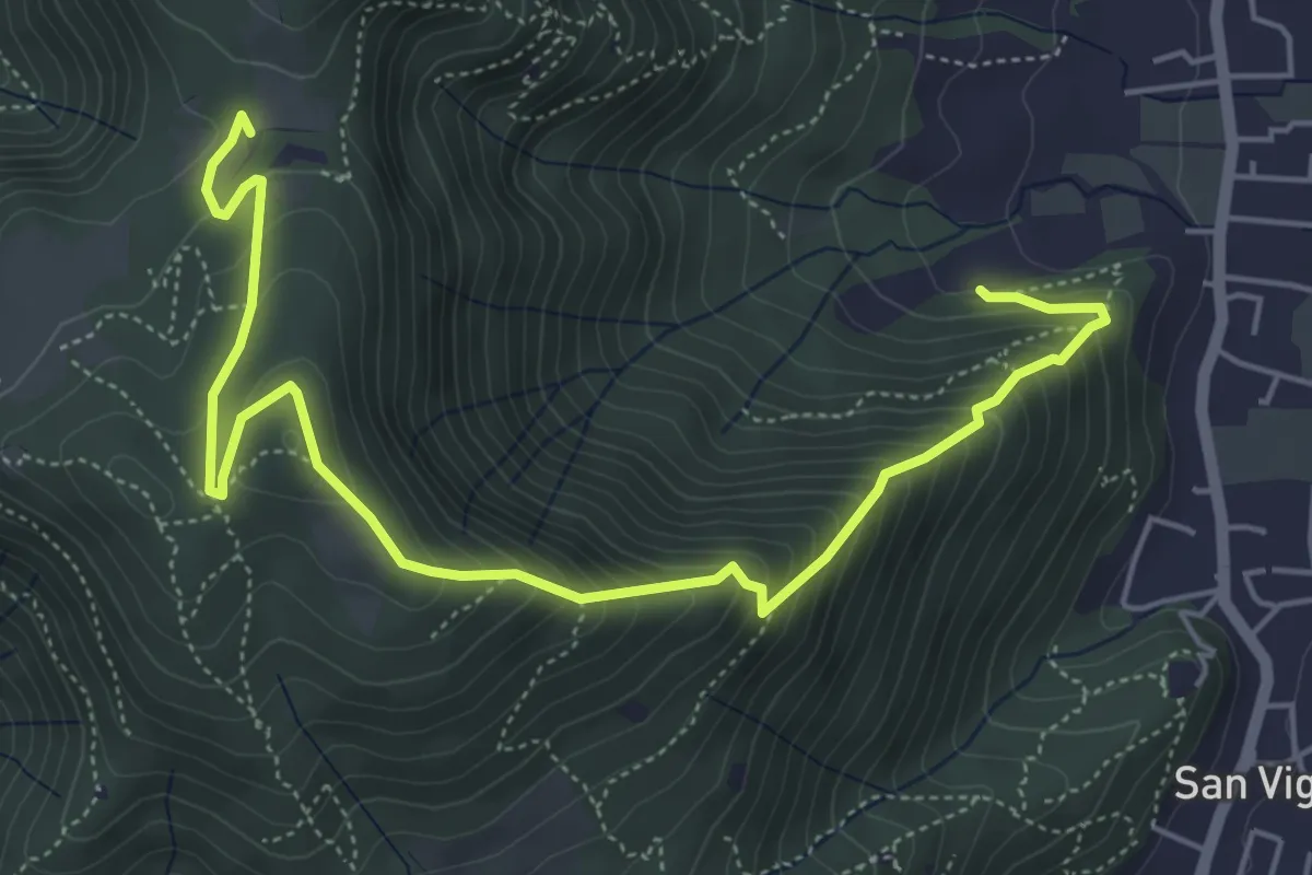
Medium · Trail
Concesio (Via Mandò) - Costa - Quarone di Sopra
6.6 km · ↑ 592 m · 2 h 50 min · 5 km away
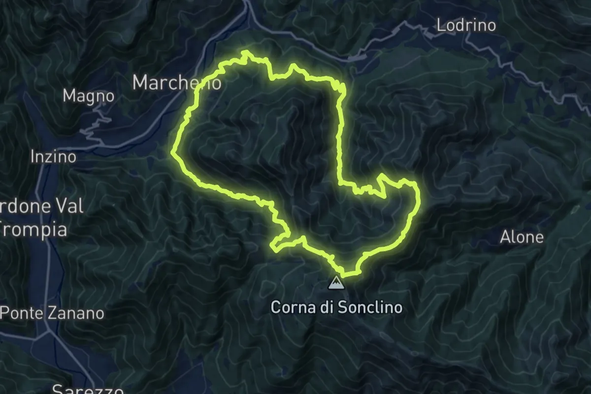
Demanding · Summit
Sentiero 122ª Brigata Garibaldi
17.5 km · ↑ 1345 m · 7 h 17 min · 5 km away
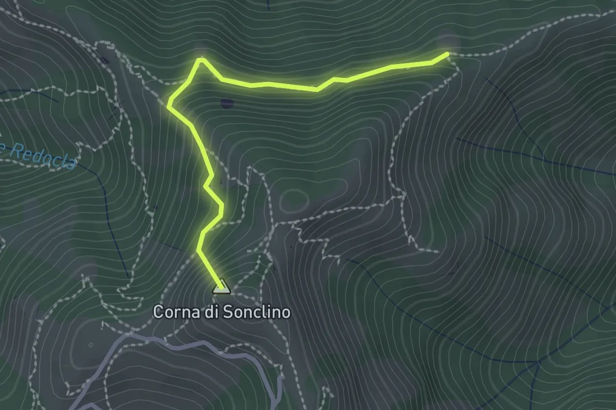
Easy · Summit
Marcheno (Tesa Guizzi) - Lumezzane (Parcheggio Sonclino)
2.3 km · ↑ 229 m · 1 h 3 min · 5 km away
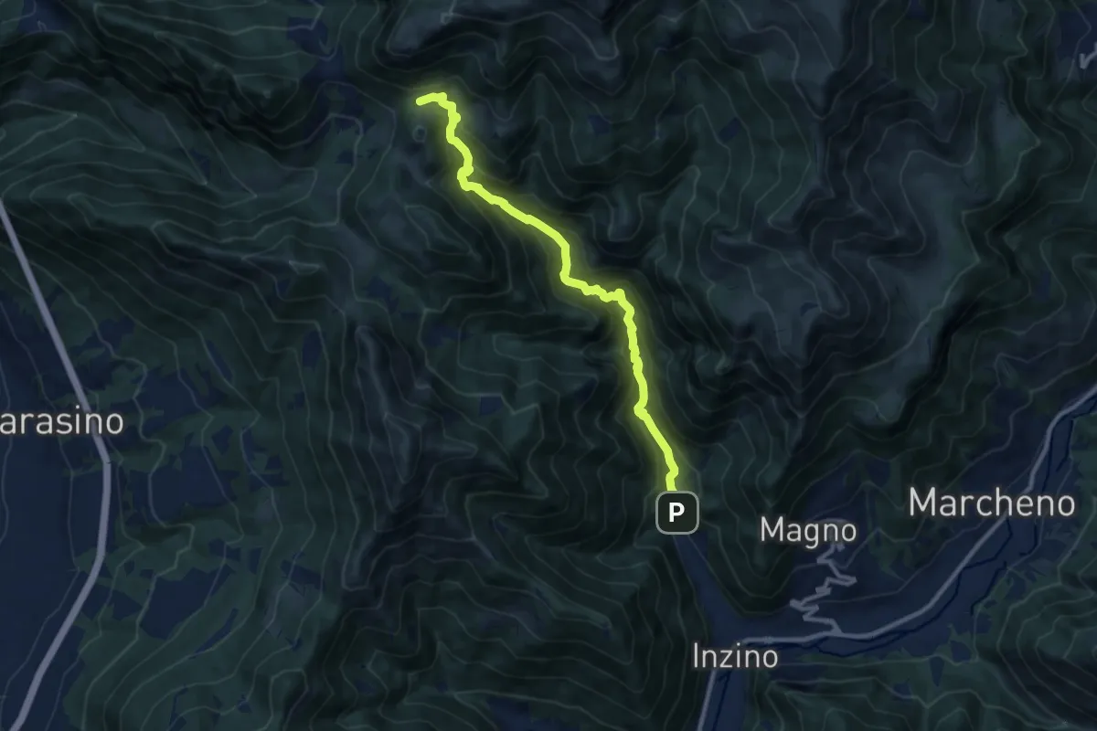
Demanding · Cabin
Gardone Val Trompia (Valle di Inzino - Gorga) – Croce di Marone
10.3 km · ↑ 837 m · 4 h 14 min · 5 km away
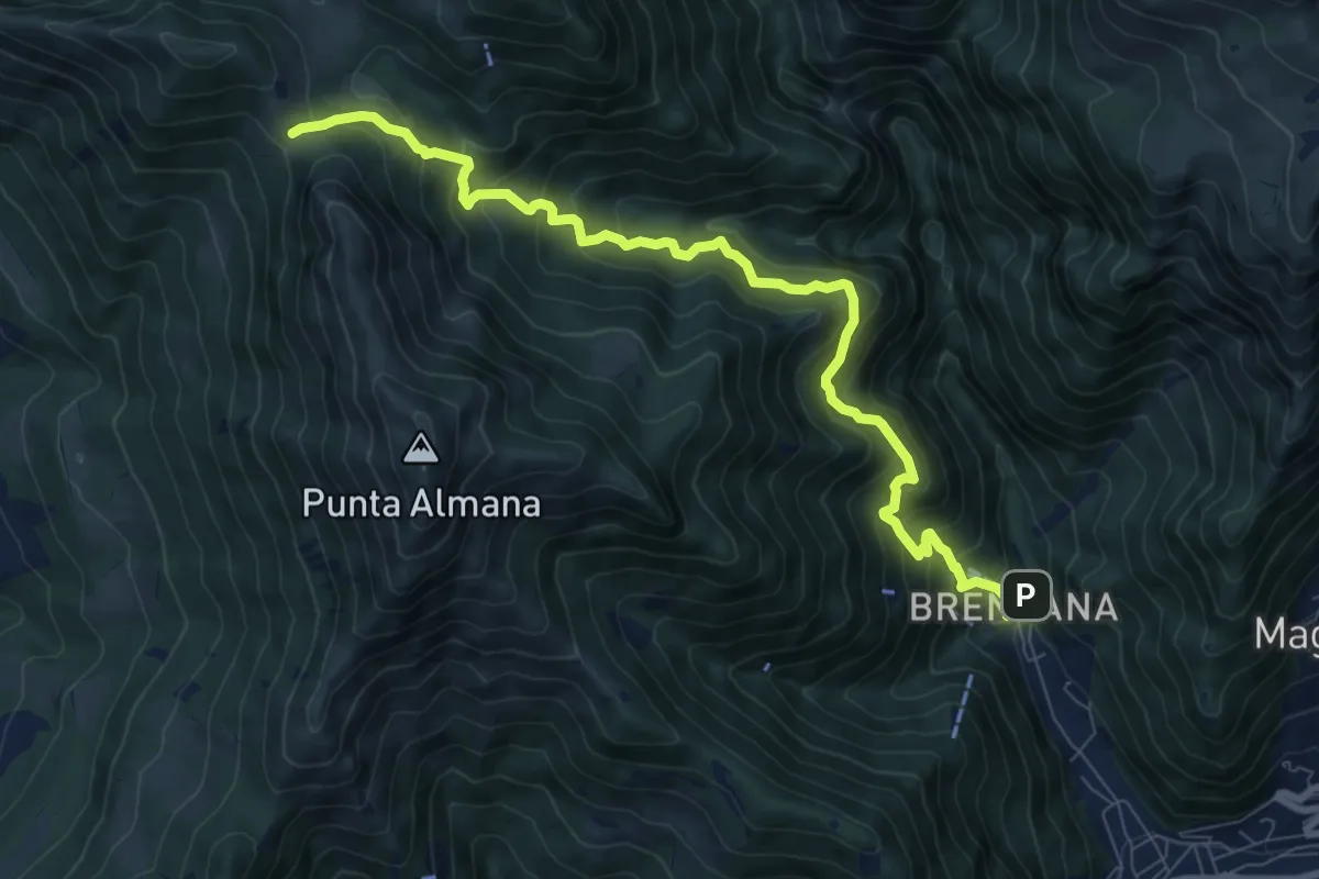
Demanding · Trail
Gardone Val Trompia (Valle di Inzino - Gorga) – Forcella di Sale
9.4 km · ↑ 904 m · 4 h 11 min · 5 km away
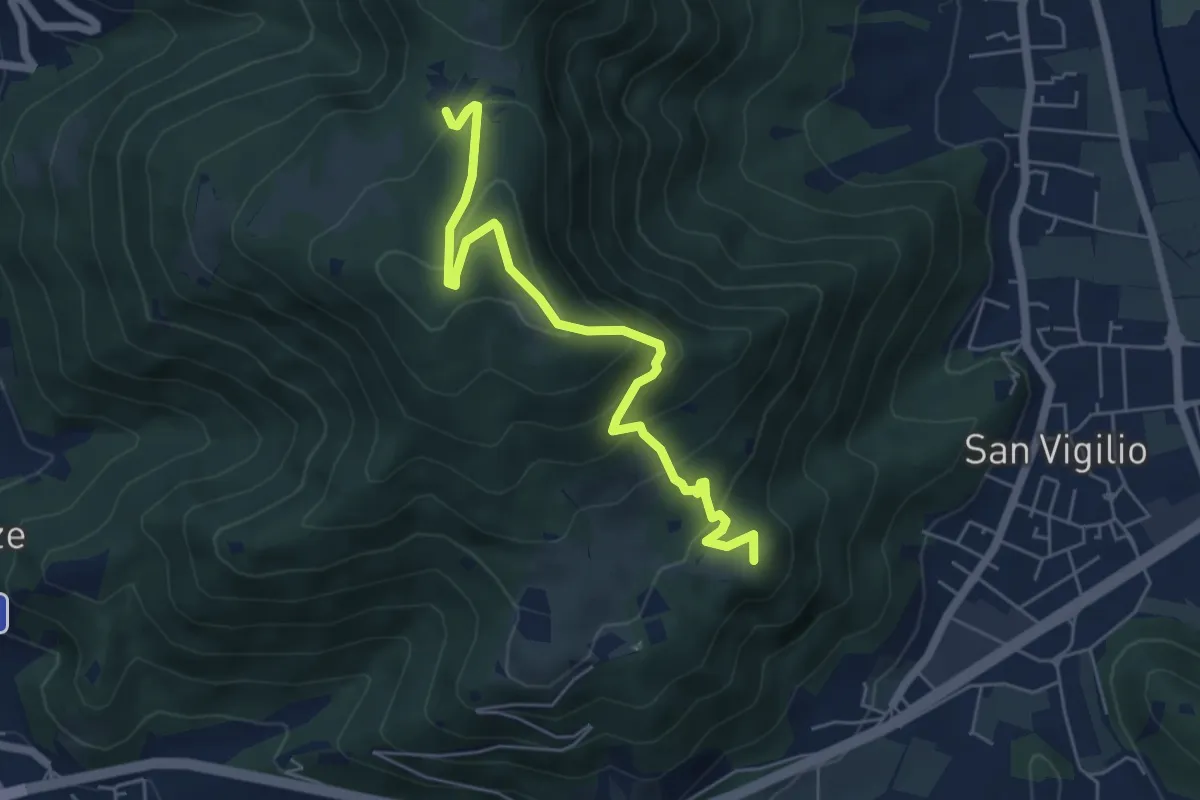
Medium · Summit
Concesio (San Vigilio) – Quarone di Sopra
5.8 km · ↑ 392 m · 2 h 13 min · 5 km away
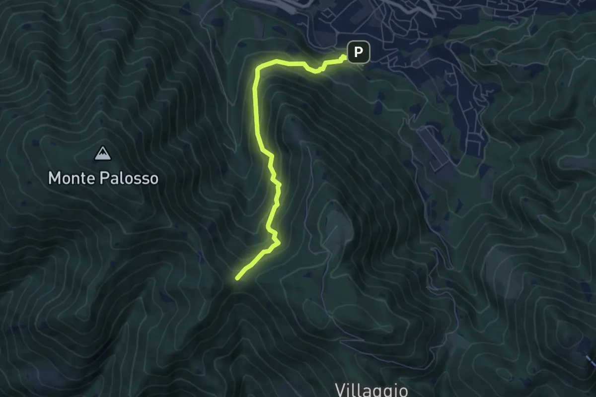
Medium · Trail
Lumezzane (Faidana) - Innesto Sentiero 371
6.4 km · ↑ 552 m · 2 h 43 min · 5 km away
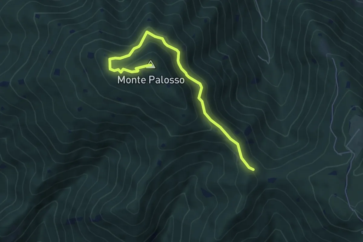
Medium · Summit
Sentiero Gnutti Cirillo
5.8 km · ↑ 302 m · 2 h 2 min · 5 km away
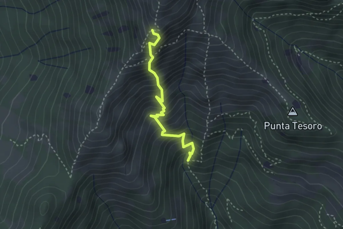
Expert · Trail
Diretta Corna Büsa - Punta Almana (Innesto Sentiero 3V)
2.7 km · ↑ 554 m · 1 h 50 min · 6 km away
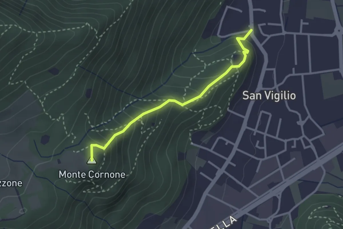
Medium · Summit
Concesio (San Vigilio) - Quarone di Sopra
2.6 km · ↑ 259 m · 1 h 11 min · 6 km away
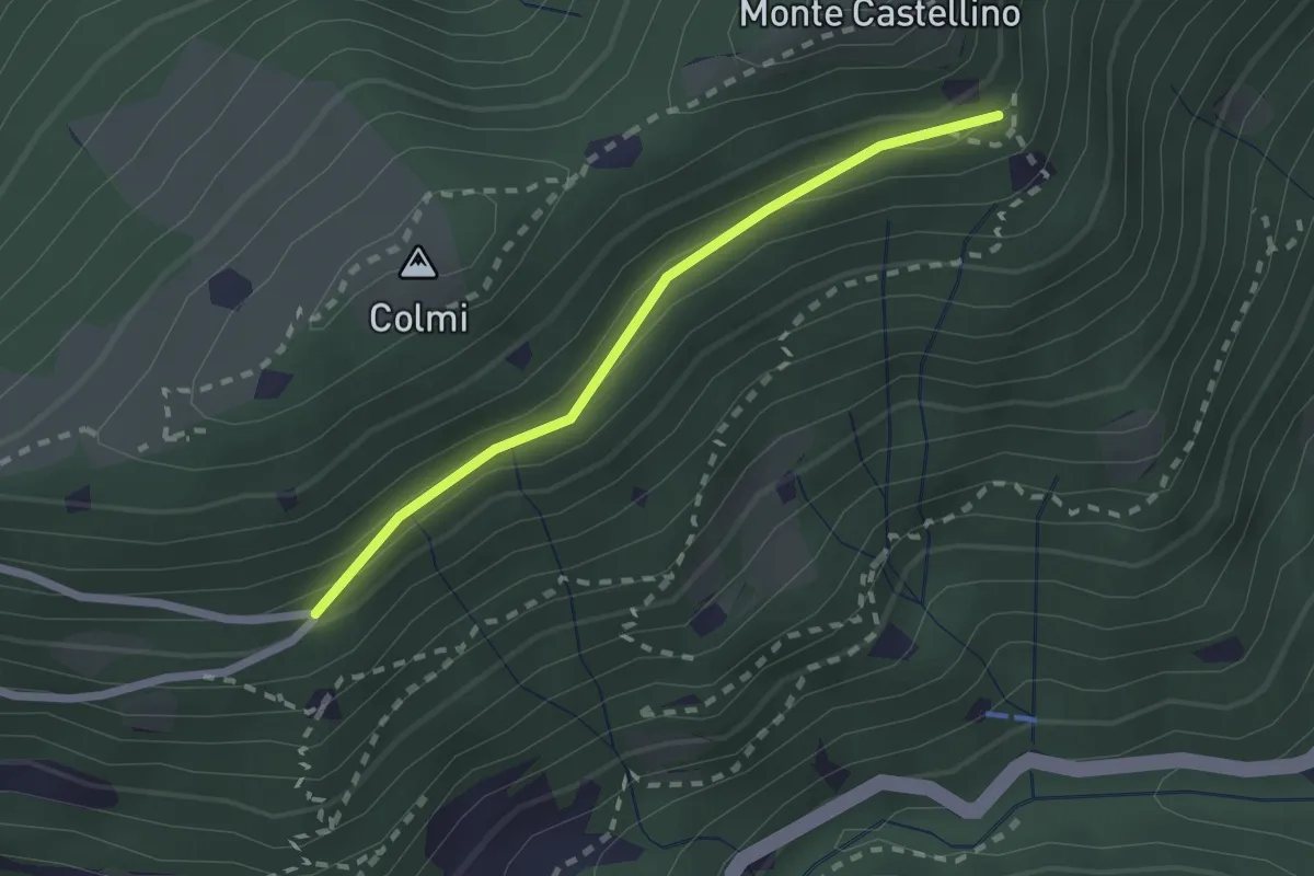
Easy · Trail
Sentiero 310 - Variante 310A
2.0 km · ↑ 104 m · 42 min · 6 km away
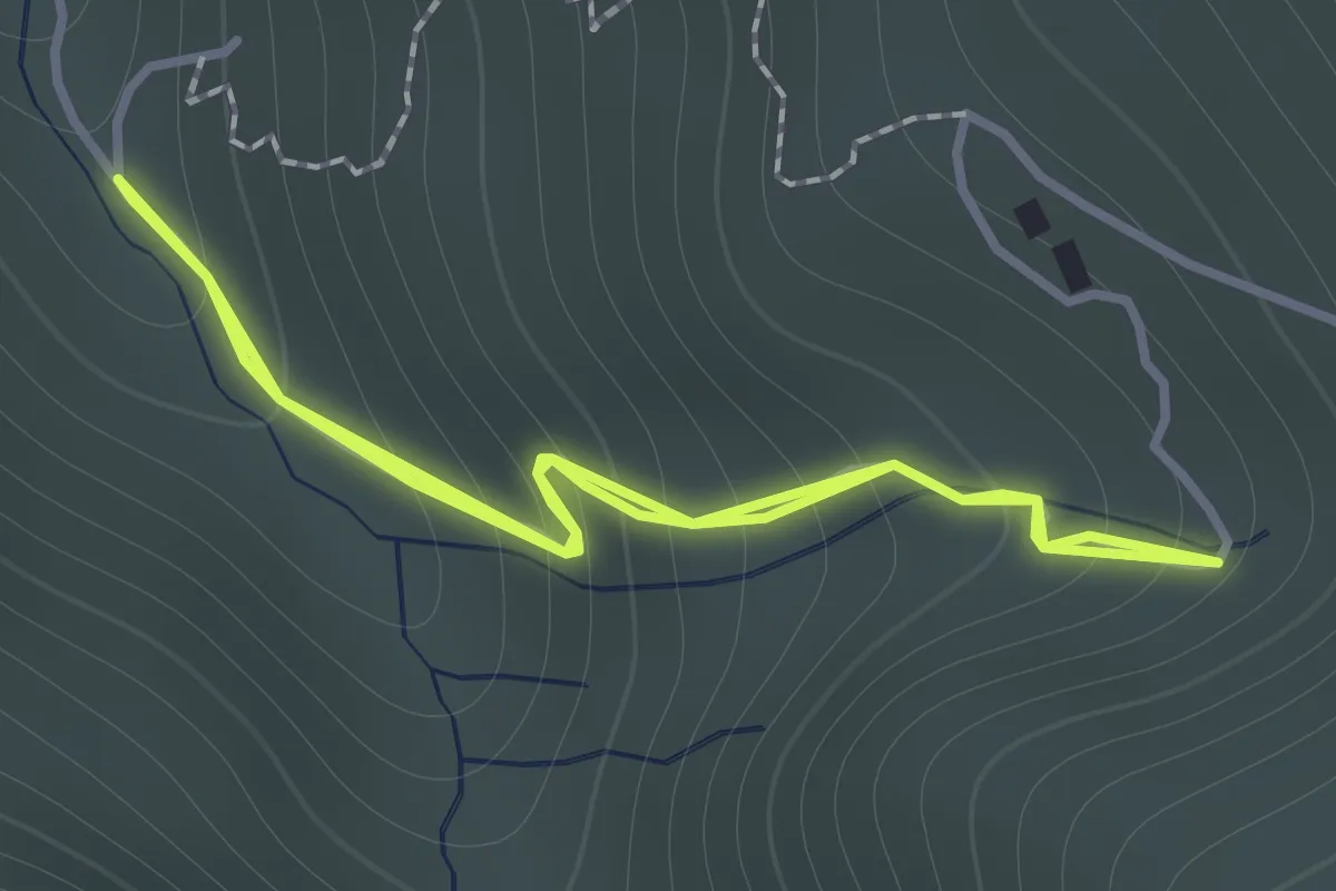
Easy · Trail
Sentiero 122ª Brigata Garibaldi - Variante 3
1.1 km · ↑ 138 m · 34 min · 6 km away
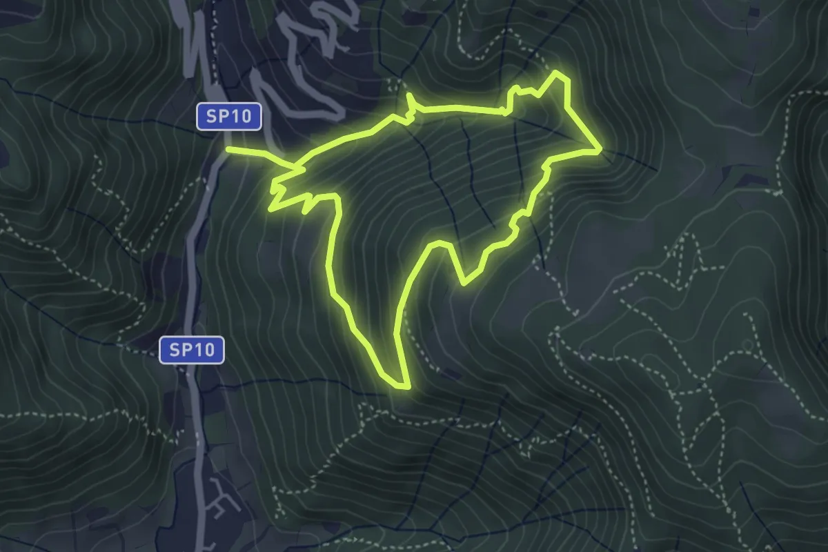
Medium · Trail
Sentiero della Valle Gandine
4.1 km · ↑ 358 m · 1 h 48 min · 6 km away
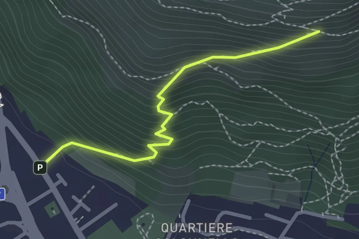
Medium · Cabin
Concesio (Vicolo Verdura) - Monte Verdura (Innesto Sentiero da Pieve)
2.1 km · ↑ 271 m · 1 h 5 min · 6 km away
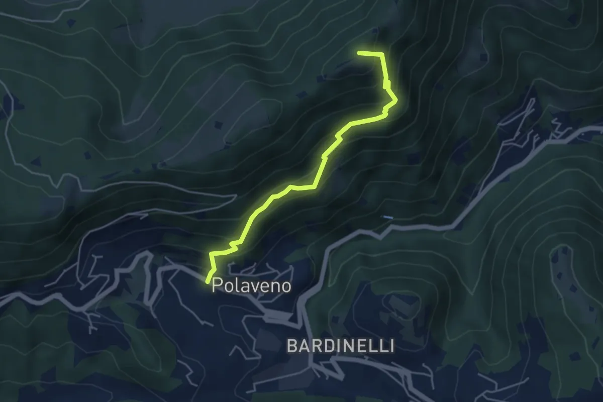
Medium · Summit
Polaveno - Santa Maria del Giogo
4.2 km · ↑ 463 m · 2 h · 6 km away
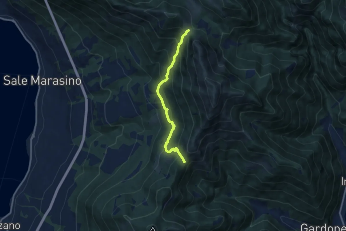
Medium · Trail
Sentiero 3V - Tappa 7 (Variante bassa)
6.7 km · ↑ 568 m · 2 h 48 min · 6 km away
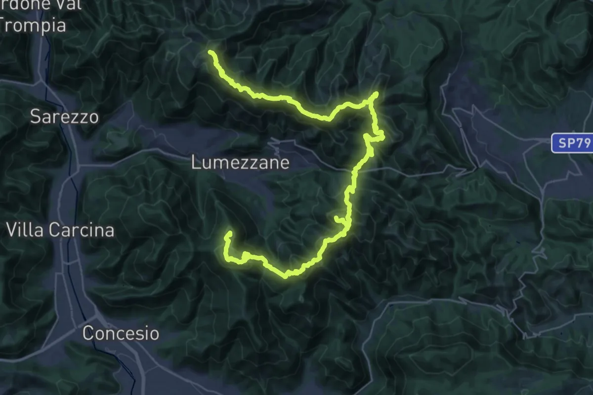
Expert · Summit
Via del Sacro
42.2 km · ↑ 2976 m · 16 h 24 min · 6 km away
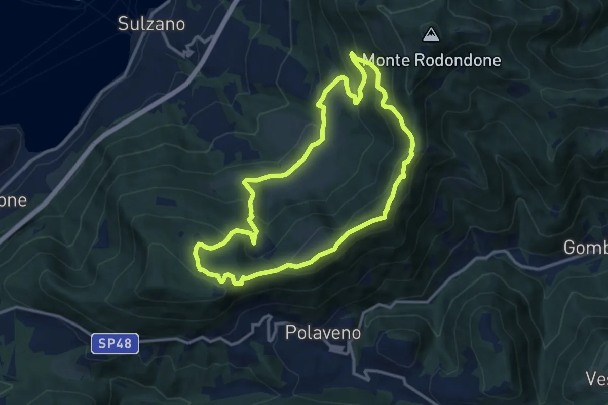
Medium · Summit
Sentiero degli Elfi
8.9 km · ↑ 450 m · 3 h 12 min · 6 km away
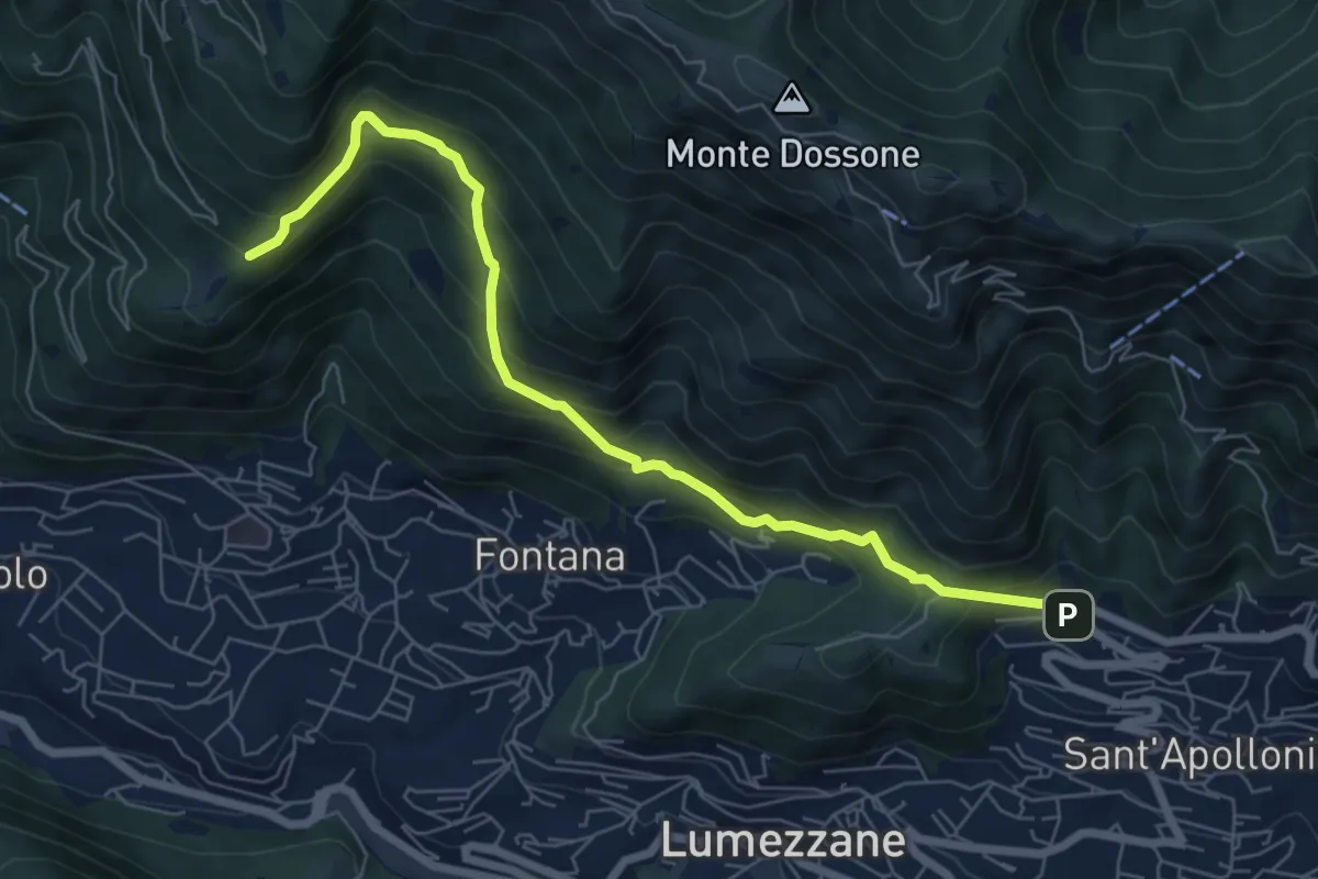
Demanding · Trail
Lumezzane (Ver) – San Bernardo (Bivio Zani Achille)
7.2 km · ↑ 587 m · 2 h 58 min · 6 km away
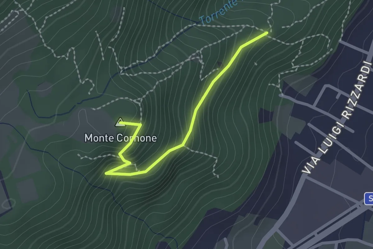
Demanding · Summit
Sentiero D - Variante Monte Cornone
2.1 km · ↑ 170 m · 52 min · 6 km away
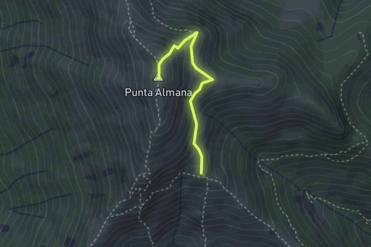
Medium · Summit
Gardone Val Trompia (Bivio Sentiero 313) – Punta Almana
2.4 km · ↑ 309 m · 1 h 14 min · 6 km away
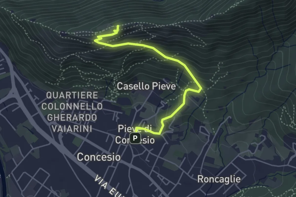
Medium · Cabin
Concesio (Pieve) - Monte Verdura
4.4 km · ↑ 333 m · 1 h 46 min · 6 km away
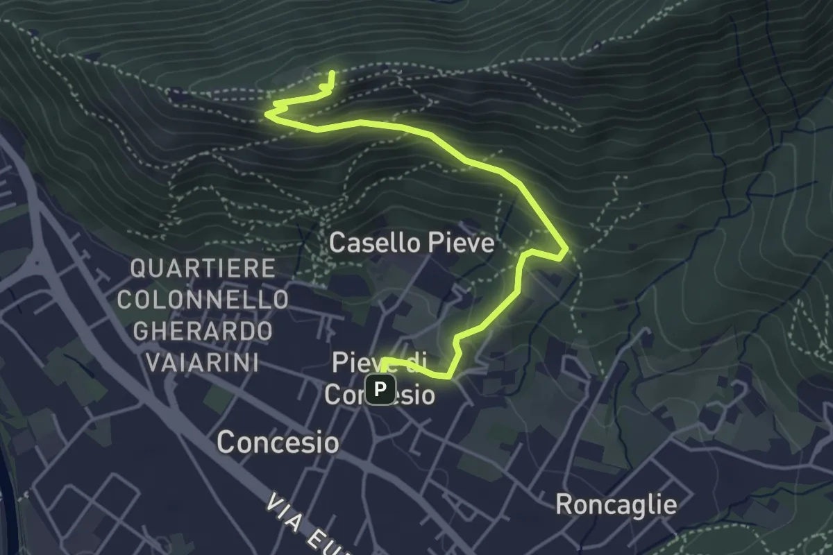
Medium · Cabin
Concesio (Pieve) – Monte Verdura
4.4 km · ↑ 333 m · 1 h 46 min · 6 km away