Trails near Sarezzo
327 hikes starting within 15 km, nearest first.
Nearest first, page 3 of 7
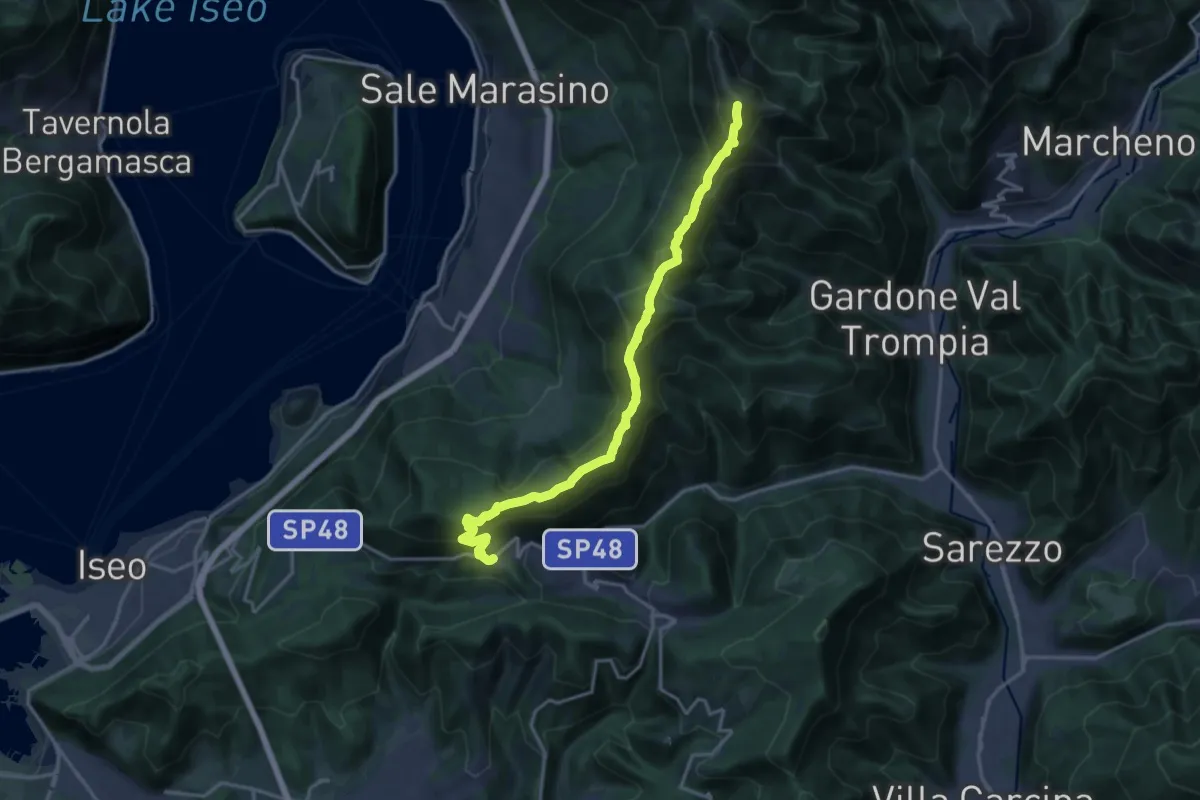
Demanding · Summit
Sentiero 3V - Tappa 7
17.5 km · ↑ 1361 m · 7 h 5 min · 6 km away
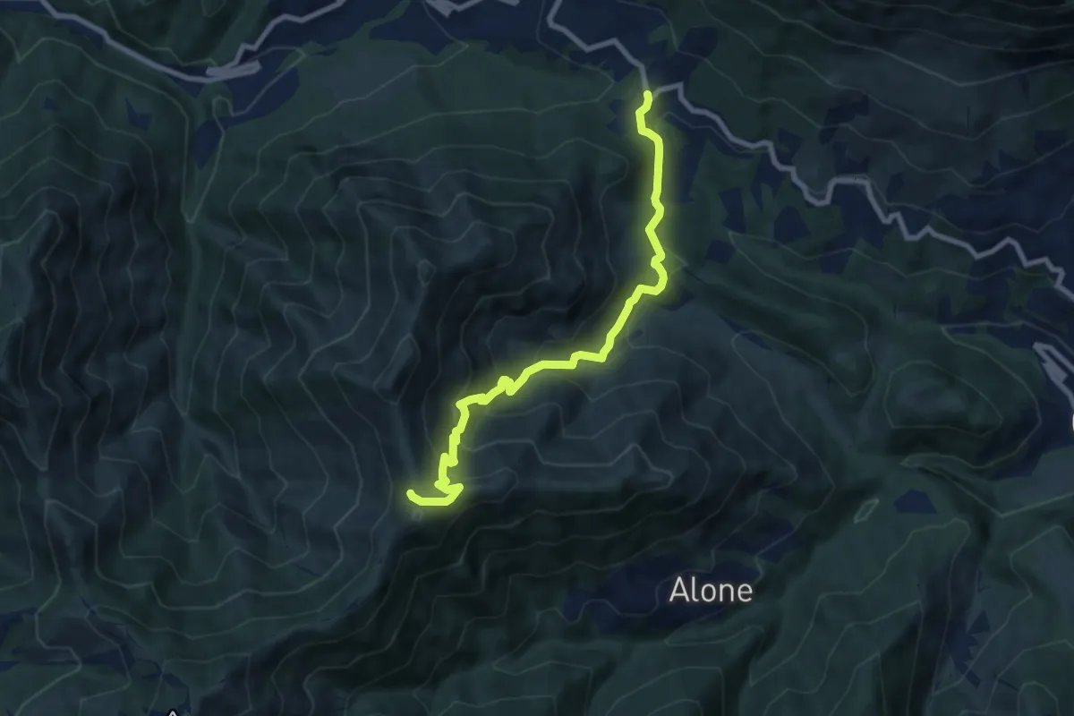
Medium · Trail
Sentiero 3V - Tappa 2 (Variante bassa)
8.4 km · ↑ 653 m · 3 h 24 min · 6 km away
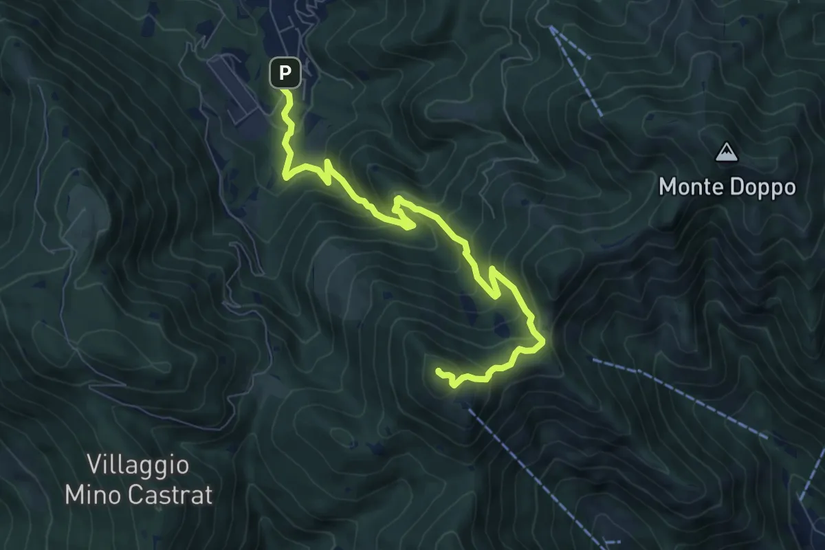
Medium · Summit
Lumezzane (Via Ruca) – Cascina Cocca
8.4 km · ↑ 670 m · 3 h 26 min · 6 km away
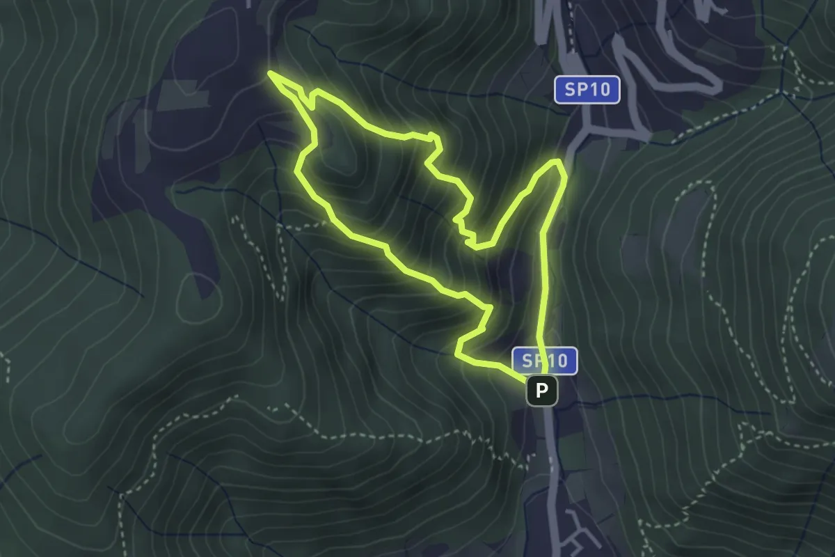
Medium · Trail
Sentiero Dosso di Mezzane - Barche - Andreolo
3.3 km · ↑ 357 m · 1 h 35 min · 7 km away
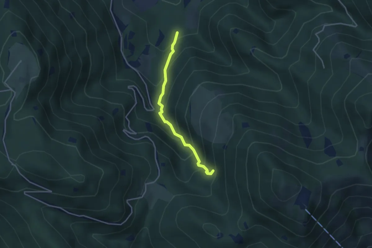
Medium · Trail
Lumezzane (Innesto Sentiero 374) - Fontanì de A'bie - Innesto Sentiero 375
2.7 km · ↑ 300 m · 1 h 18 min · 7 km away
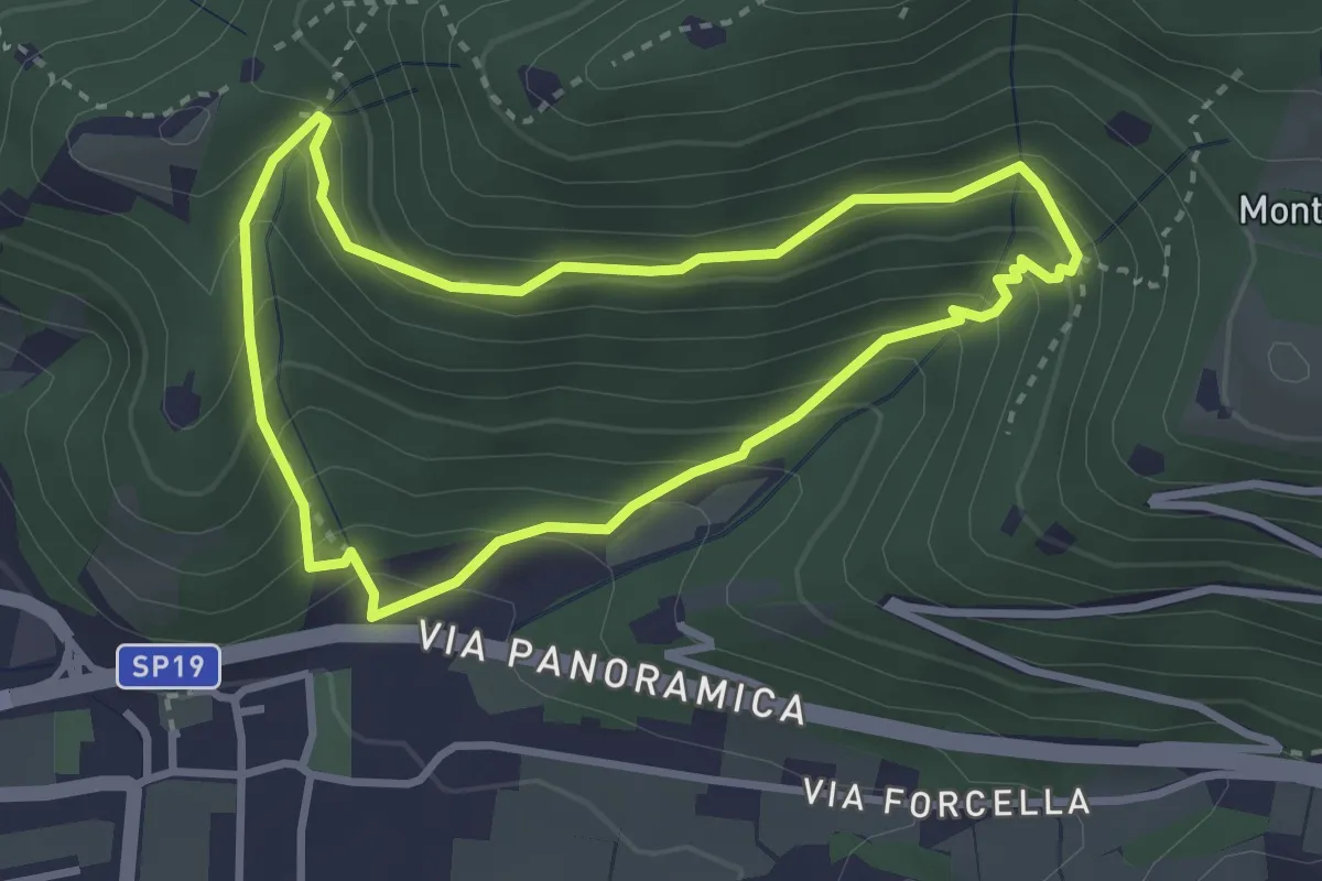
Medium · Trail
Sentiero della Val Volpera
3.0 km · ↑ 258 m · 1 h 18 min · 7 km away
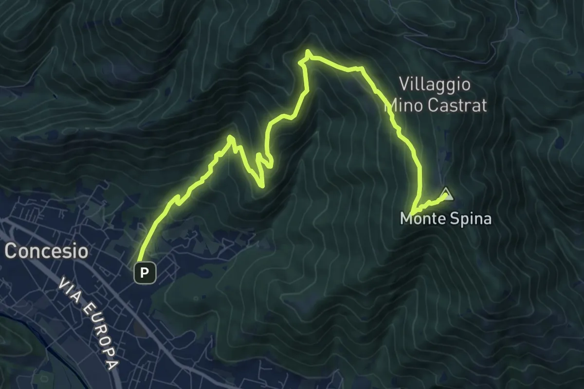
Demanding · Summit
Concesio (Roncaglie - Via Cadizzone) – Sant'Onofrio
13.1 km · ↑ 861 m · 4 h 57 min · 7 km away
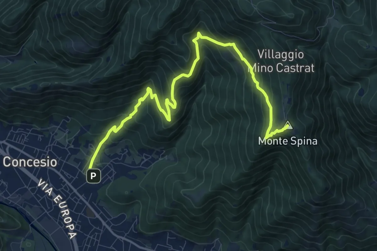
Demanding · Summit
Concesio (Roncaglie) - Sant'Onofrio
13.1 km · ↑ 861 m · 4 h 57 min · 7 km away
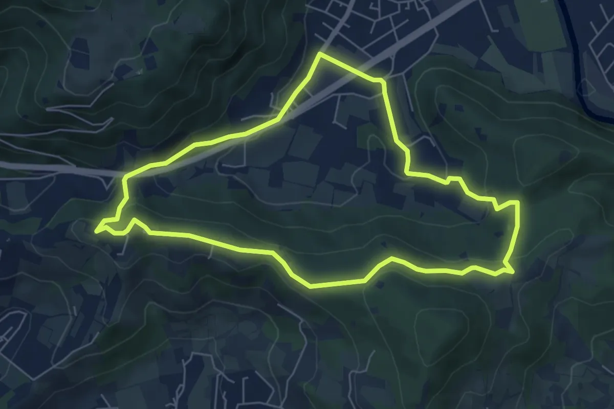
Easy · Trail
Concesio - Valsorda
6.0 km · ↑ 208 m · 1 h 57 min · 7 km away
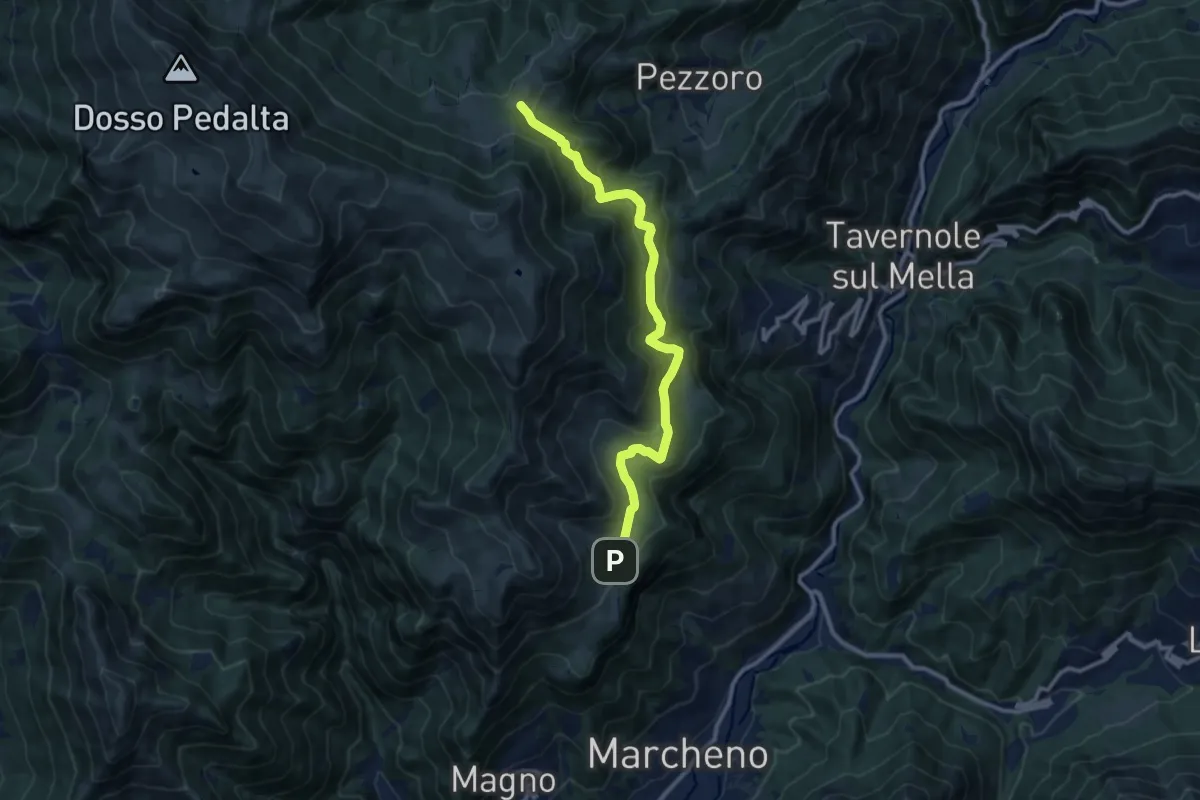
Medium · Cabin
Marcheno (Piani di Caregno) – Pozza Lavacolo (Bivio Sentiero 325)
10.9 km · ↑ 601 m · 3 h 53 min · 7 km away
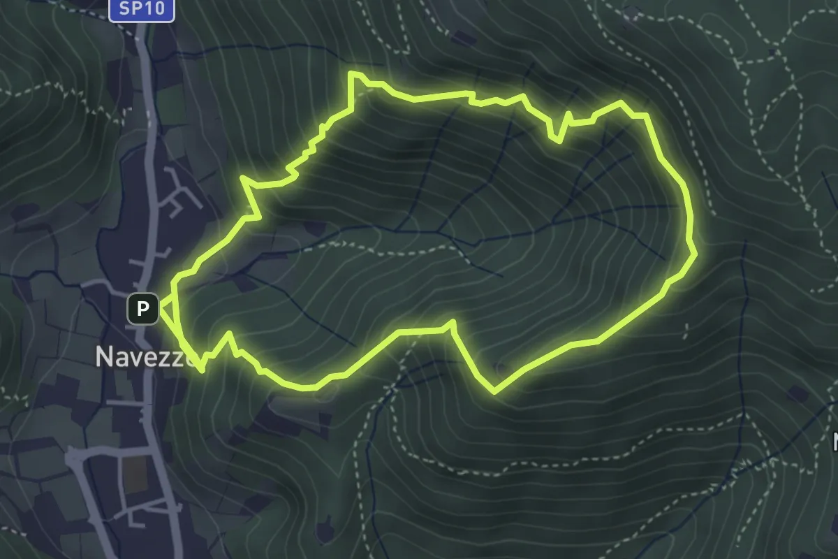
Medium · Trail
Sentiero della Valle di Faidolo
4.3 km · ↑ 452 m · 2 h 2 min · 7 km away
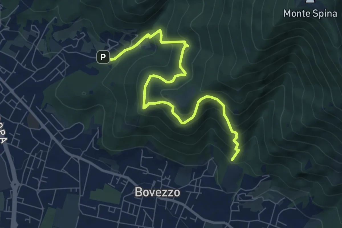
Medium · Trail
Concesio (Roncaglie - Via Sant'Onofrio) – Valle Prignole (Fontanino - Innesto Sentiero 351)
7.9 km · ↑ 704 m · 3 h 24 min · 7 km away
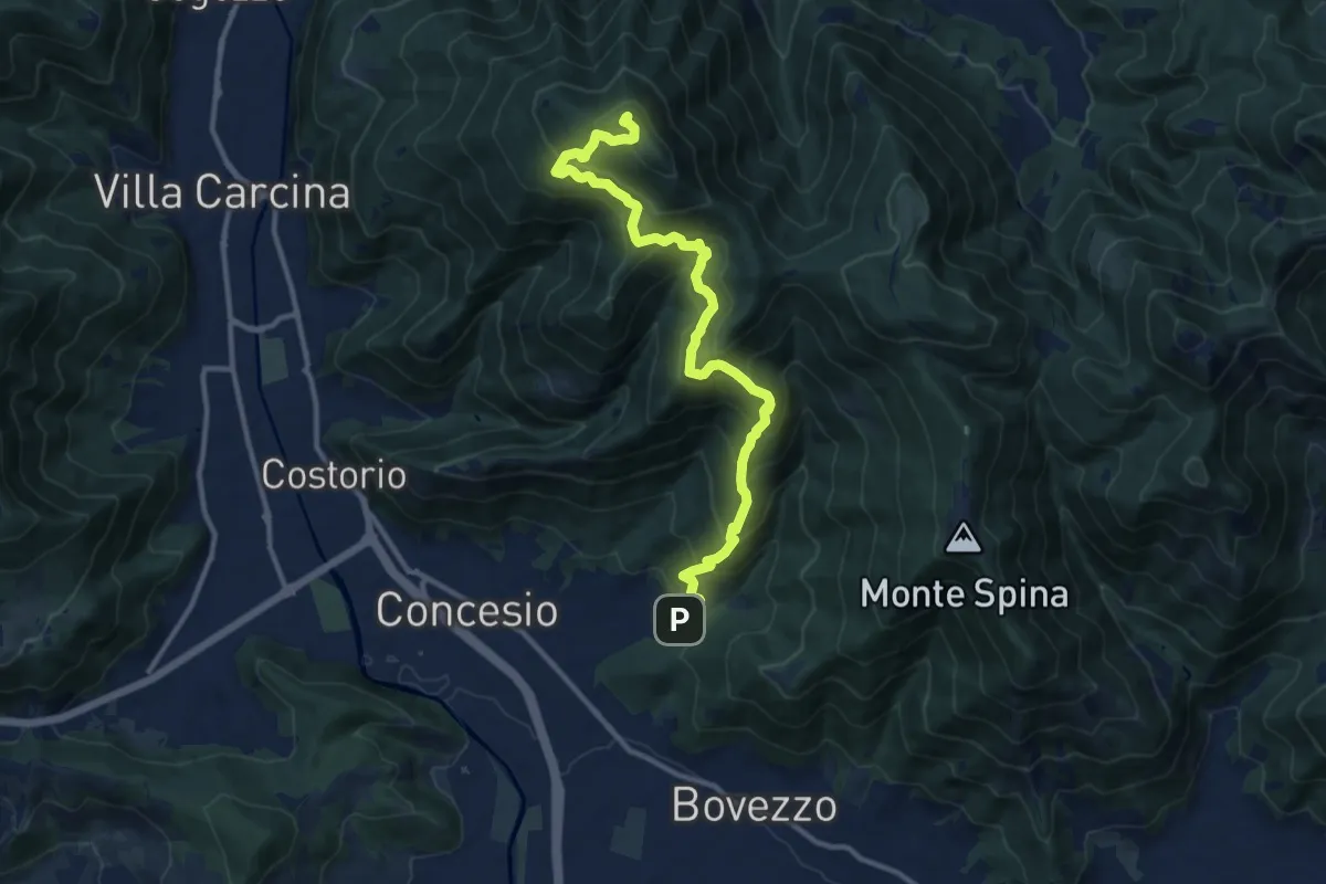
Demanding · Summit
Concesio (Roncaglie) - Monte Palosso
12.8 km · ↑ 1042 m · 5 h 17 min · 7 km away
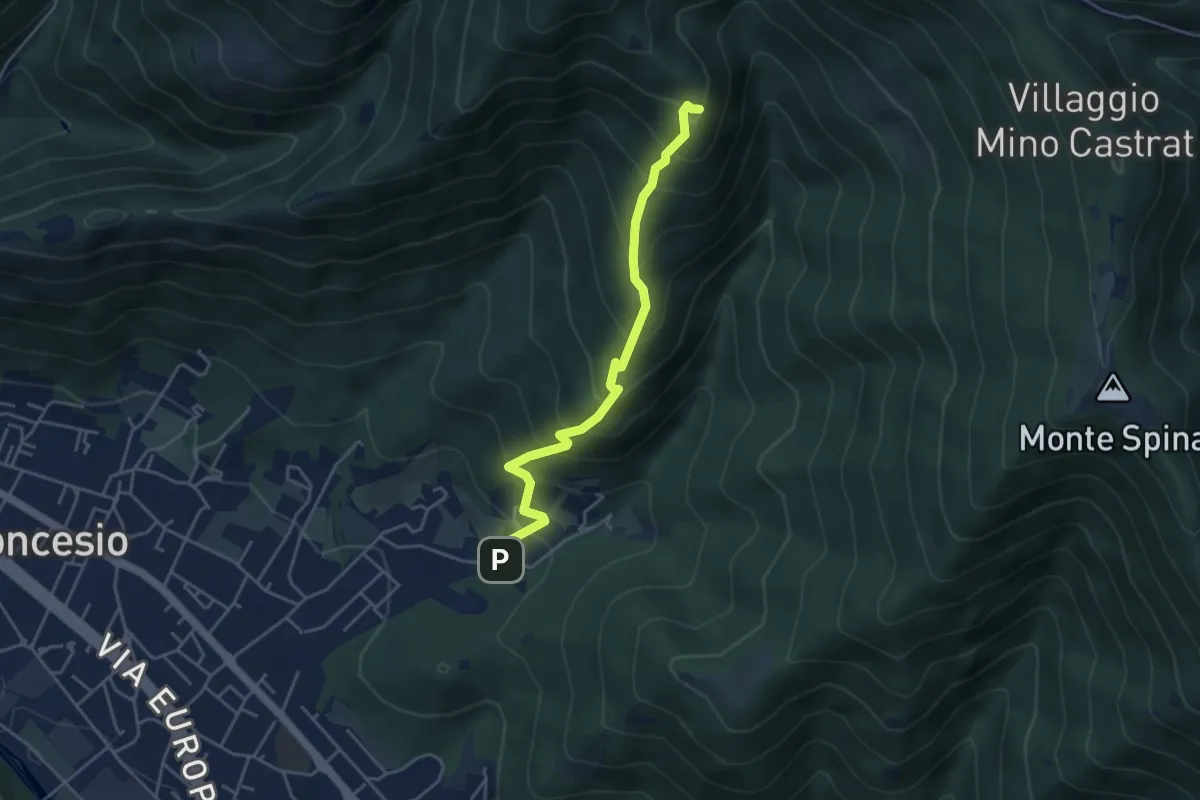
Medium · Summit
Concesio (Roncaglie) – Monte Palosso (Innesto Sentiero 377)
4.3 km · ↑ 481 m · 2 h 3 min · 7 km away
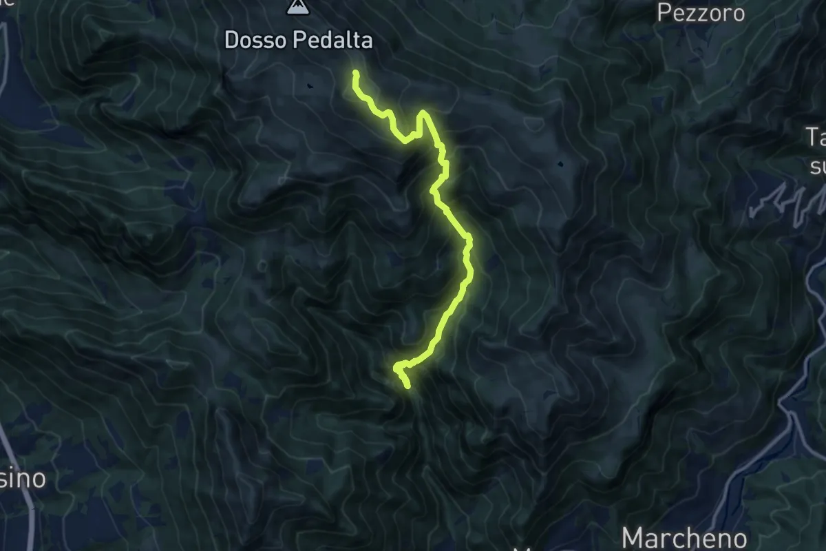
Demanding · Summit
Gardone Val Trompia (Valle di Inzino - Passo del Diavolo) – Monte Guglielmo
11.2 km · ↑ 1307 m · 5 h 28 min · 7 km away
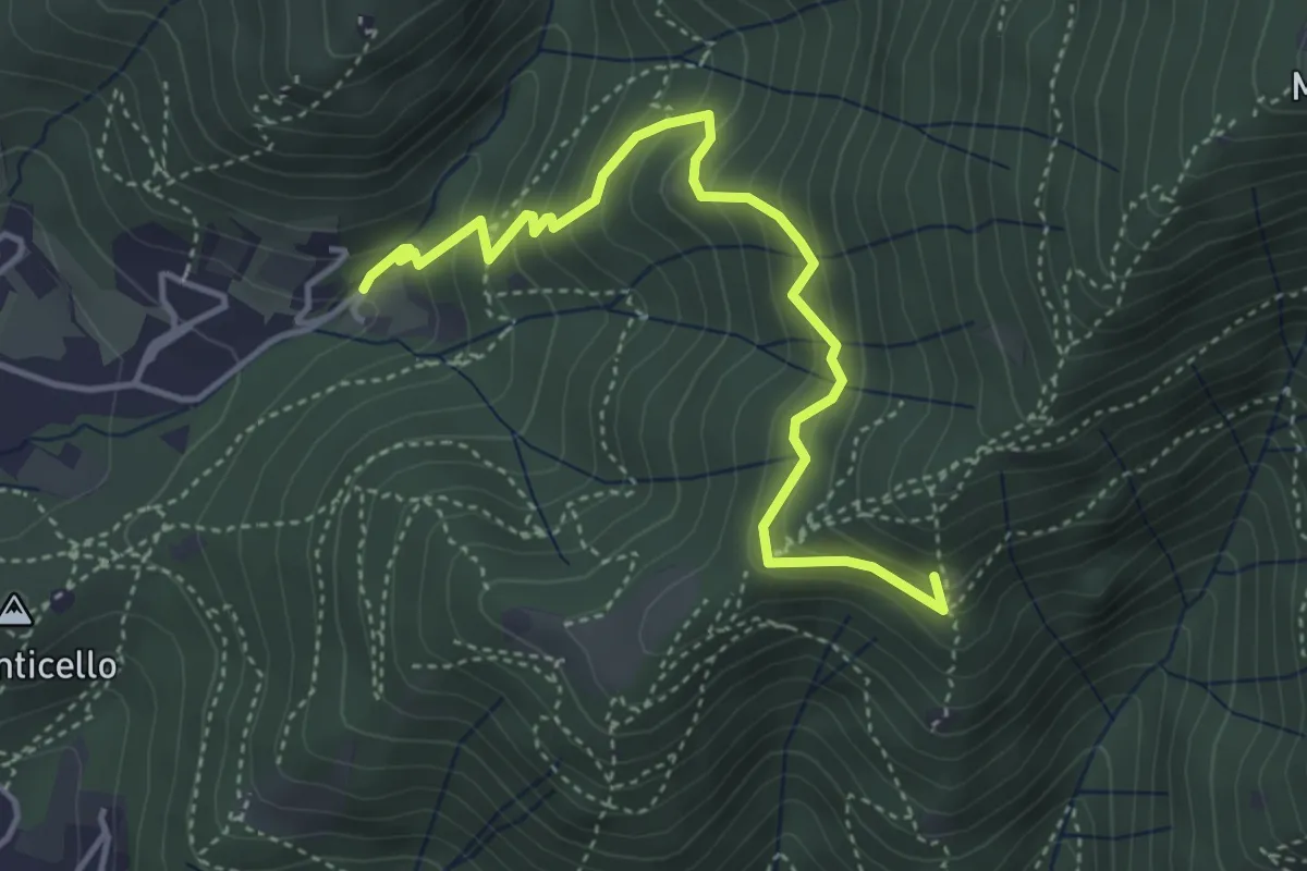
Medium · Summit
Concesio (Roncaglie - Via Sant'Onofrio) – Castagnotta
4.4 km · ↑ 408 m · 1 h 56 min · 7 km away
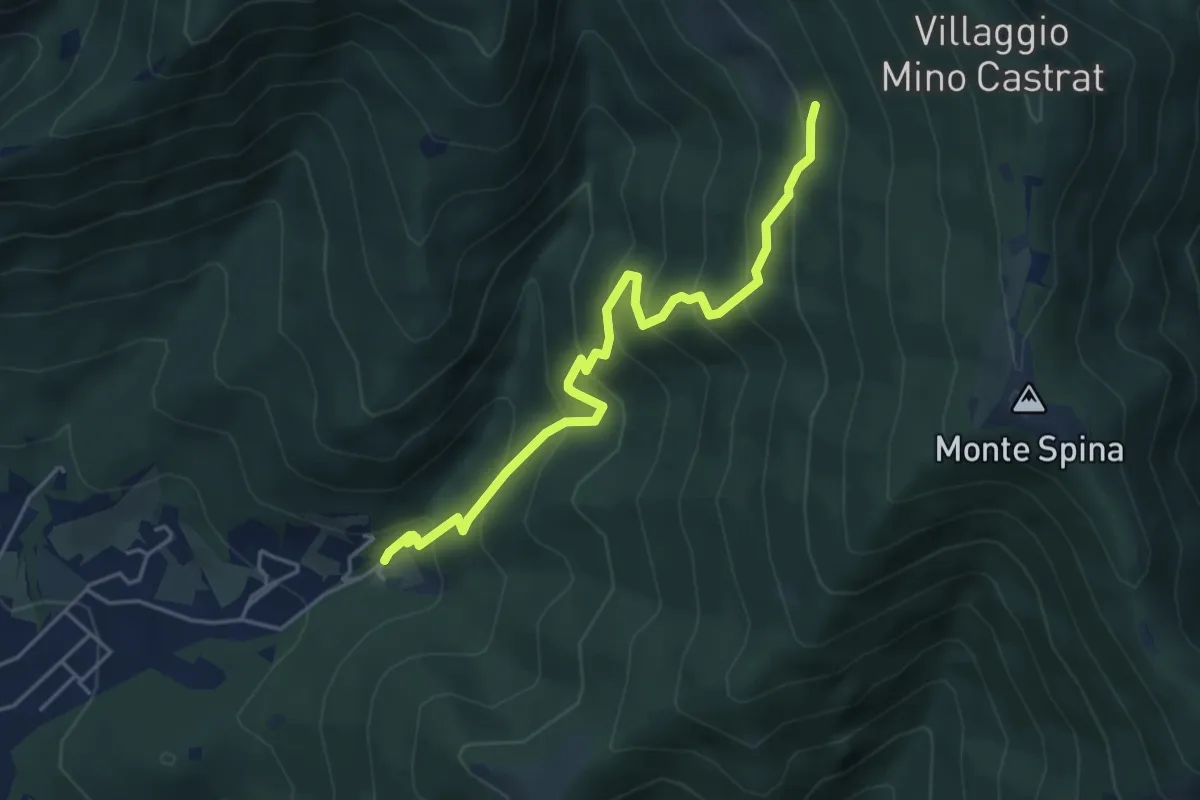
Medium · Trail
Concesio (Roncaglie - Via Sant'Onofrio) – Grassi de le Còle (Innesto Sentiero 390)
4.9 km · ↑ 474 m · 2 h 10 min · 7 km away
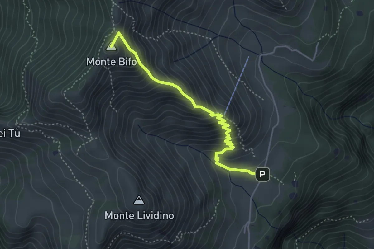
Medium · Summit
Marcheno (Piani di Caregno) – Malga Stalletti Alti (Bivio Sentiero 325)
4.1 km · ↑ 418 m · 1 h 53 min · 7 km away
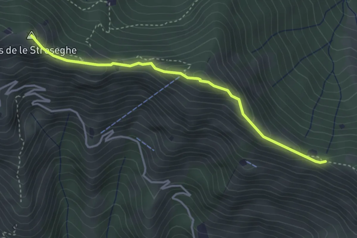
Expert · Summit
Sentiero 3V - Tappa 2 (Variante alta)
3.5 km · ↑ 313 m · 1 h 30 min · 7 km away
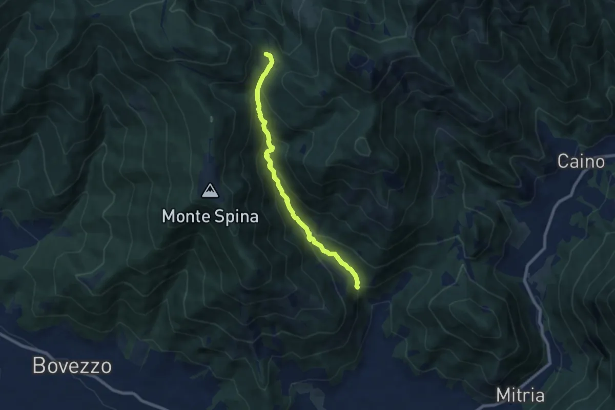
Demanding · Trail
Nave (La Corna) - Cascina Cocca
6.6 km · ↑ 417 m · 2 h 27 min · 7 km away
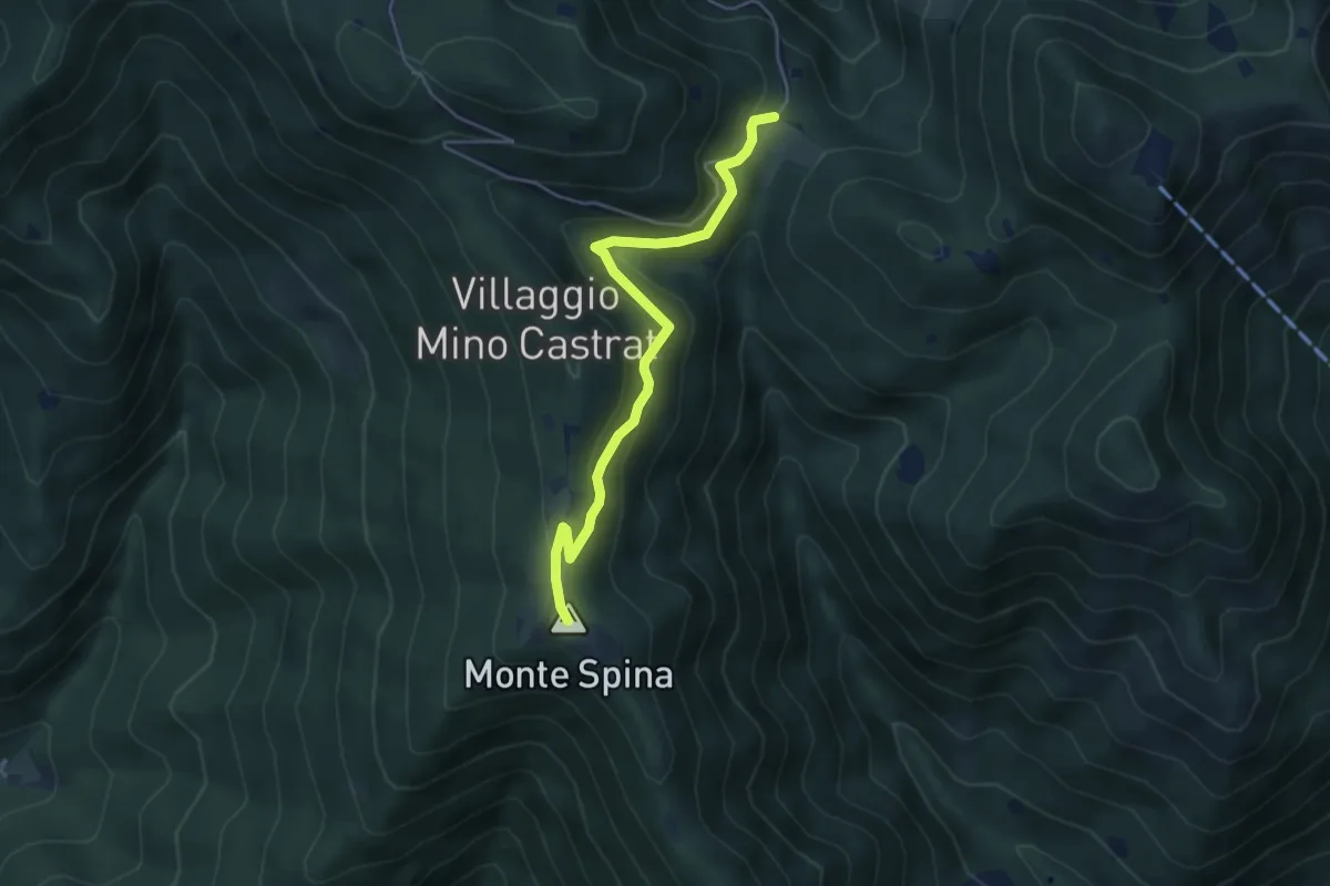
Medium · Summit
Nave (Sacca) - Cascina Cocca
4.7 km · ↑ 209 m · 1 h 33 min · 7 km away
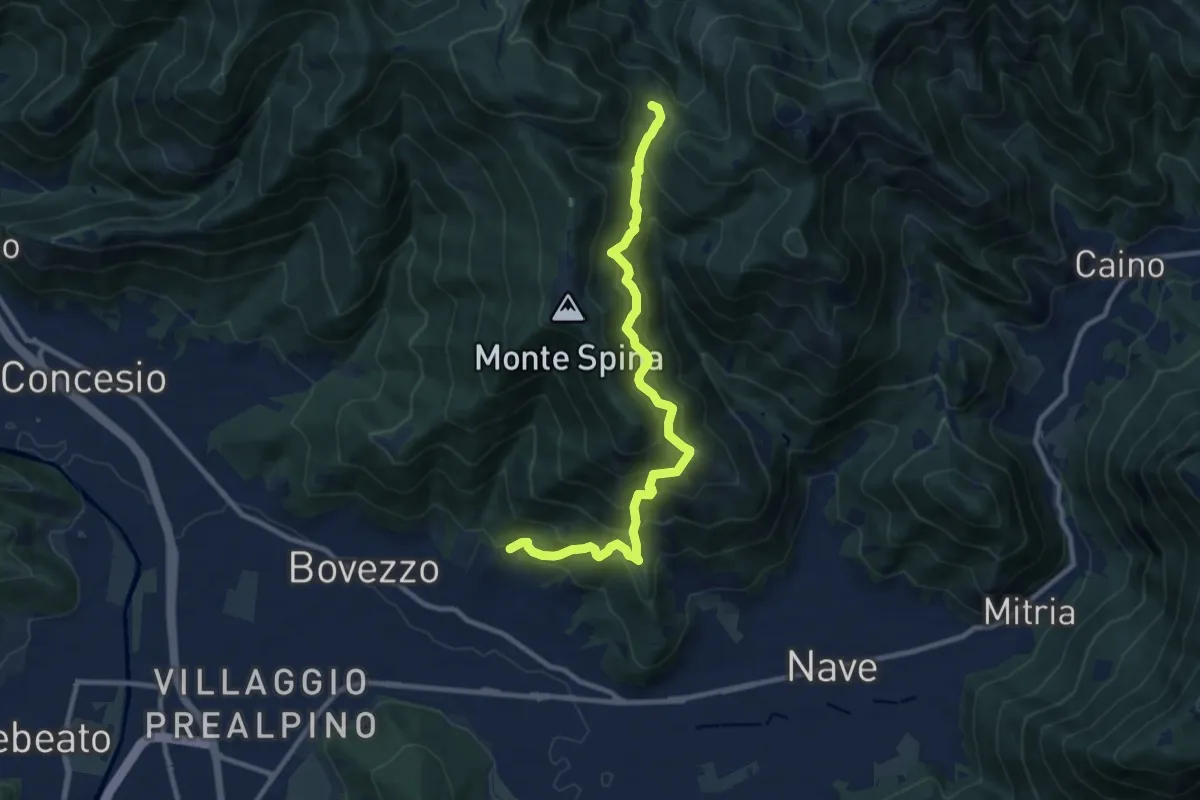
Demanding · Trail
Nave (Cortine) - Cascina Cocca
10.8 km · ↑ 913 m · 4 h 32 min · 7 km away
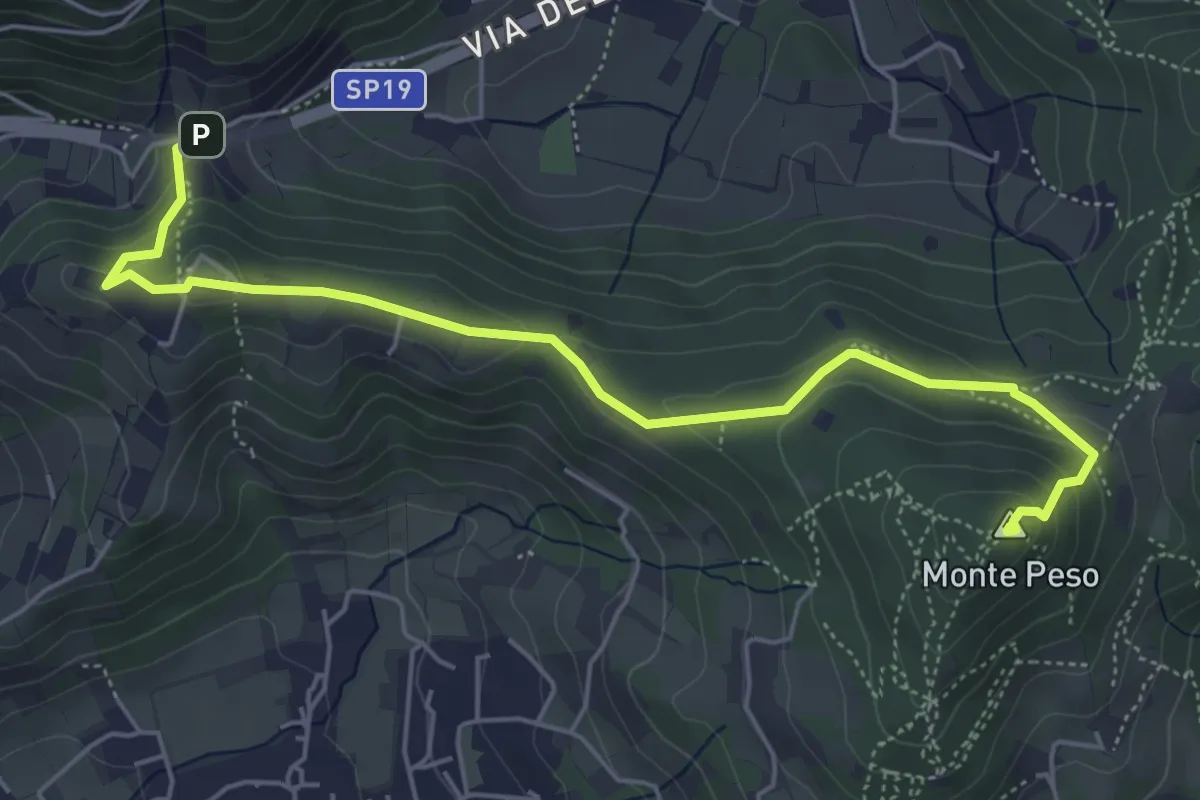
Medium · Summit
Sentiero 3V - Tappa 8b
6.0 km · ↑ 266 m · 1 h 59 min · 7 km away
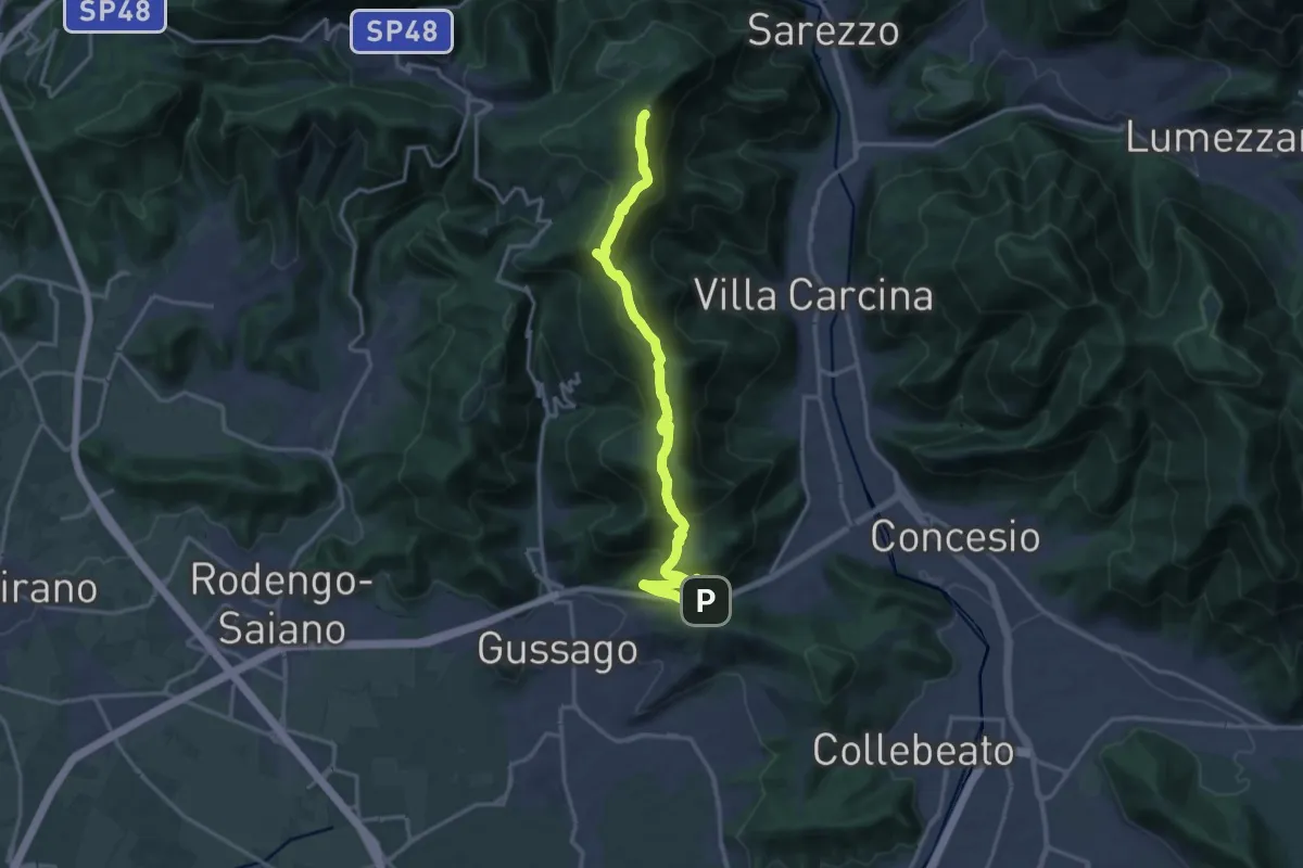
Demanding · Summit
Sentiero 3V - Tappa 8a
18.2 km · ↑ 1158 m · 6 h 48 min · 7 km away
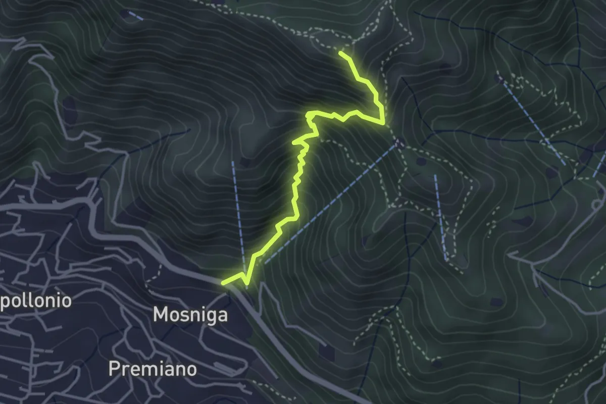
Medium · Summit
Lumezzane (Mosniga) - Punta Camoghera
3.4 km · ↑ 515 m · 1 h 55 min · 7 km away
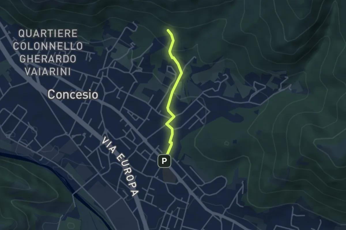
Easy · Trail
Concesio (Sant'Andrea) - Monte Verdura (Innesto Sentiero G)
2.6 km · ↑ 114 m · 52 min · 7 km away
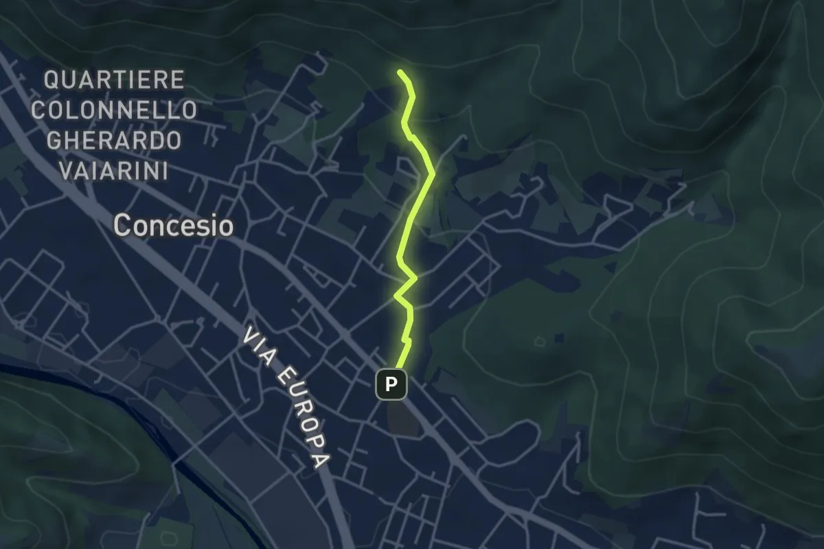
Easy · Trail
Concesio (Sant'Andrea) - Monte Verdura (Innesto Sentiero da Pieve)
2.6 km · ↑ 114 m · 52 min · 7 km away
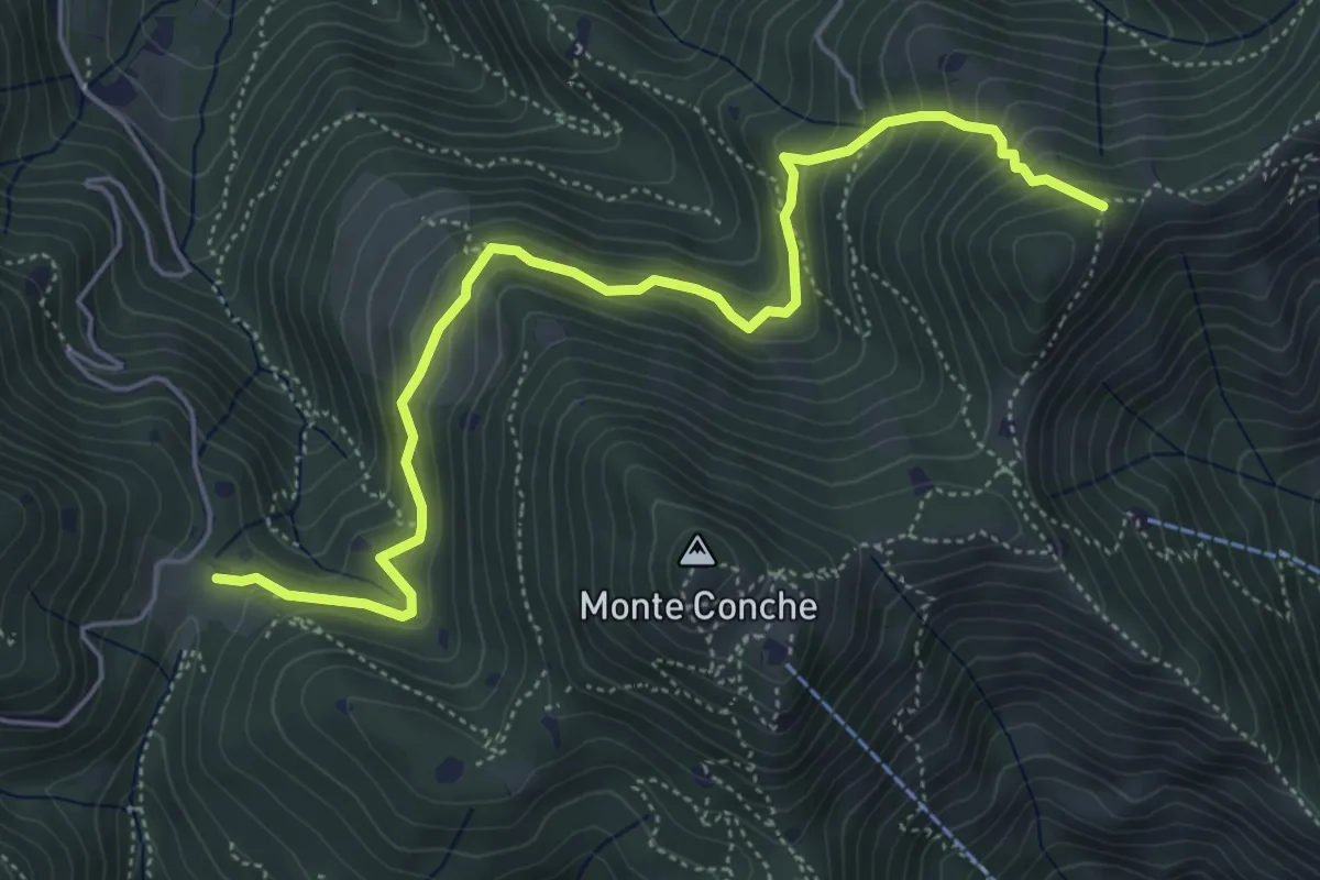
Medium · Trail
Lumezzane (Cascina Cocca) – Forcella di Calone
5.8 km · ↑ 474 m · 2 h 24 min · 7 km away
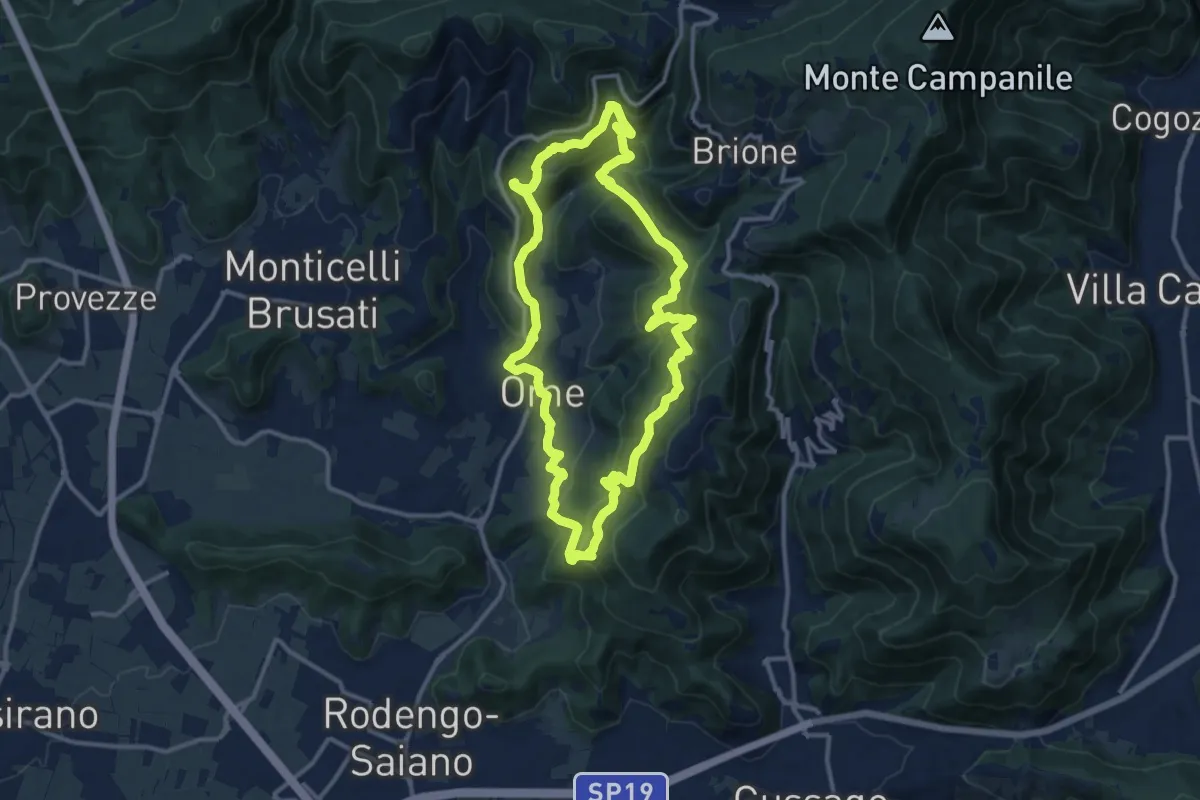
Medium · Trail
Sentiero dei funghi
12.1 km · ↑ 736 m · 4 h 37 min · 7 km away
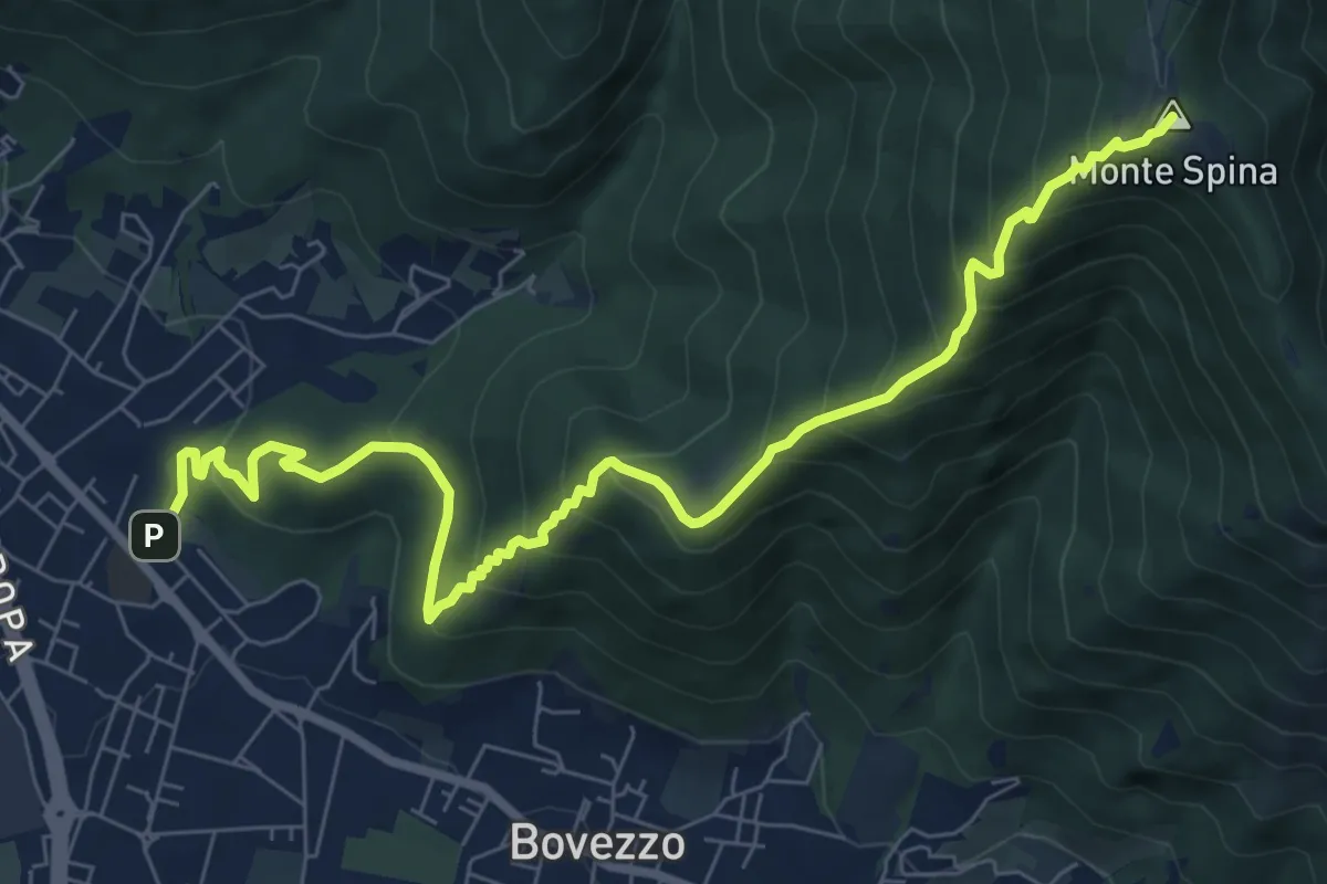
Medium · Summit
Concesio (Sant'Andrea) - Sant'Onofrio
9.4 km · ↑ 736 m · 3 h 48 min · 7 km away
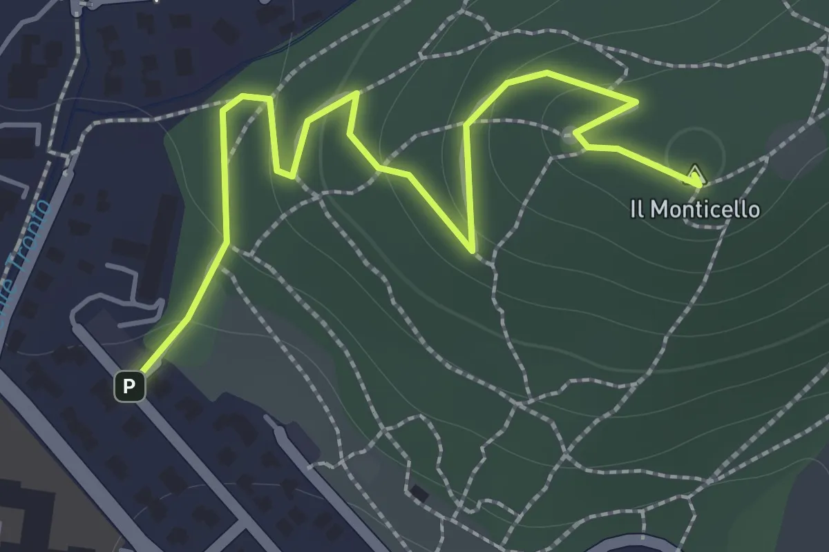
Easy · Summit
Concesio (Monticello) - Sentiero 1
2.0 km · ↑ 76 m · 38 min · 7 km away
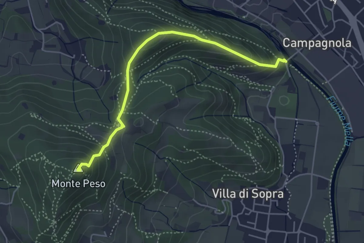
Demanding · Summit
Collebeato (Le Bocche) – Monte Peso
4.4 km · ↑ 346 m · 1 h 48 min · 7 km away
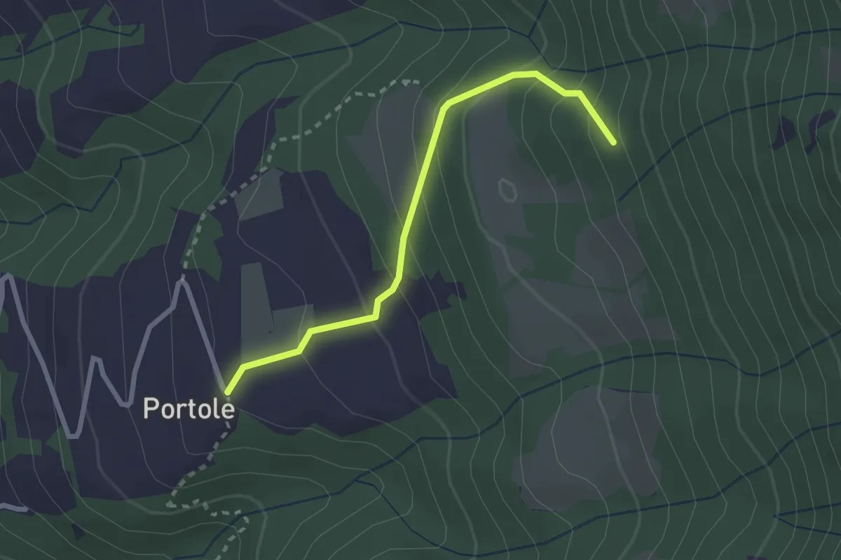
Easy · Trail
Portole – Percorso 238
2.4 km · ↑ 216 m · 1 h 2 min · 7 km away
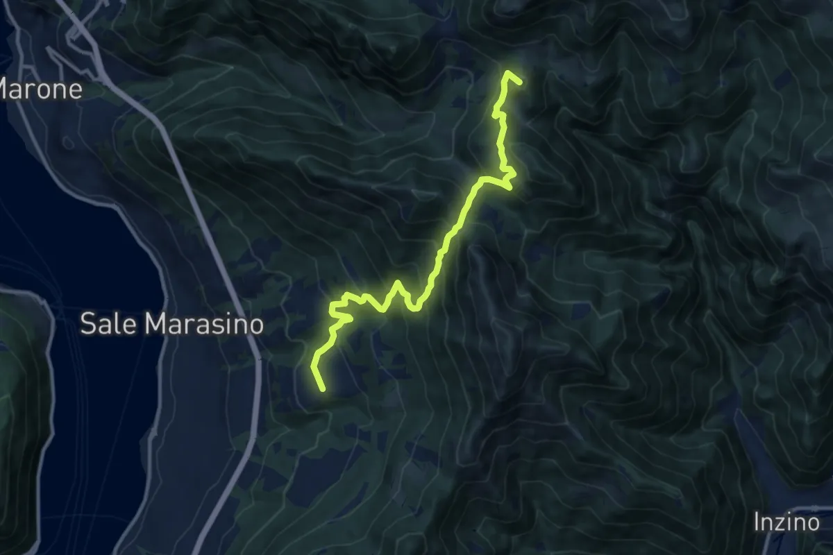
Demanding · Summit
Malghe in Rete - Trekking - Le Valli Tappa 2
11.5 km · ↑ 939 m · 4 h 45 min · 7 km away
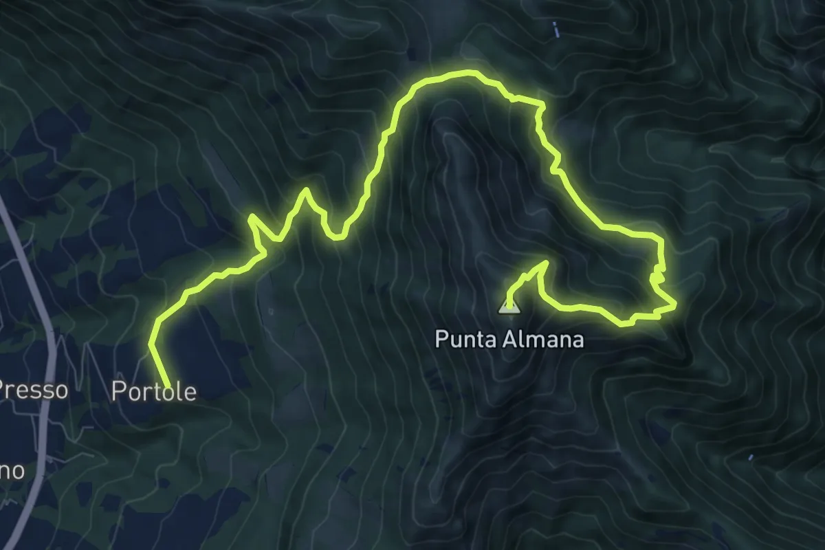
Demanding · Summit
Portole – Punta Almana
13.6 km · ↑ 1282 m · 5 h 59 min · 7 km away
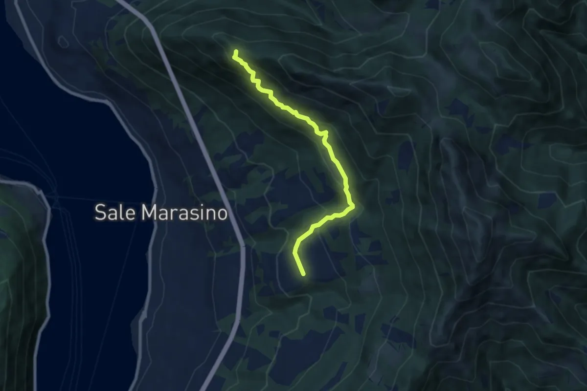
Medium · Summit
Portole – Punta dei Dossi
6.8 km · ↑ 576 m · 2 h 51 min · 7 km away
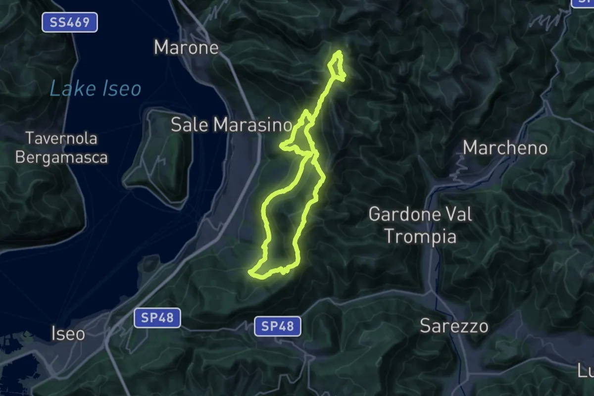
Demanding · Summit
Sentiero Brigata Giustizia e Libertà - Barnaba
18.2 km · ↑ 1346 m · 7 h 21 min · 7 km away
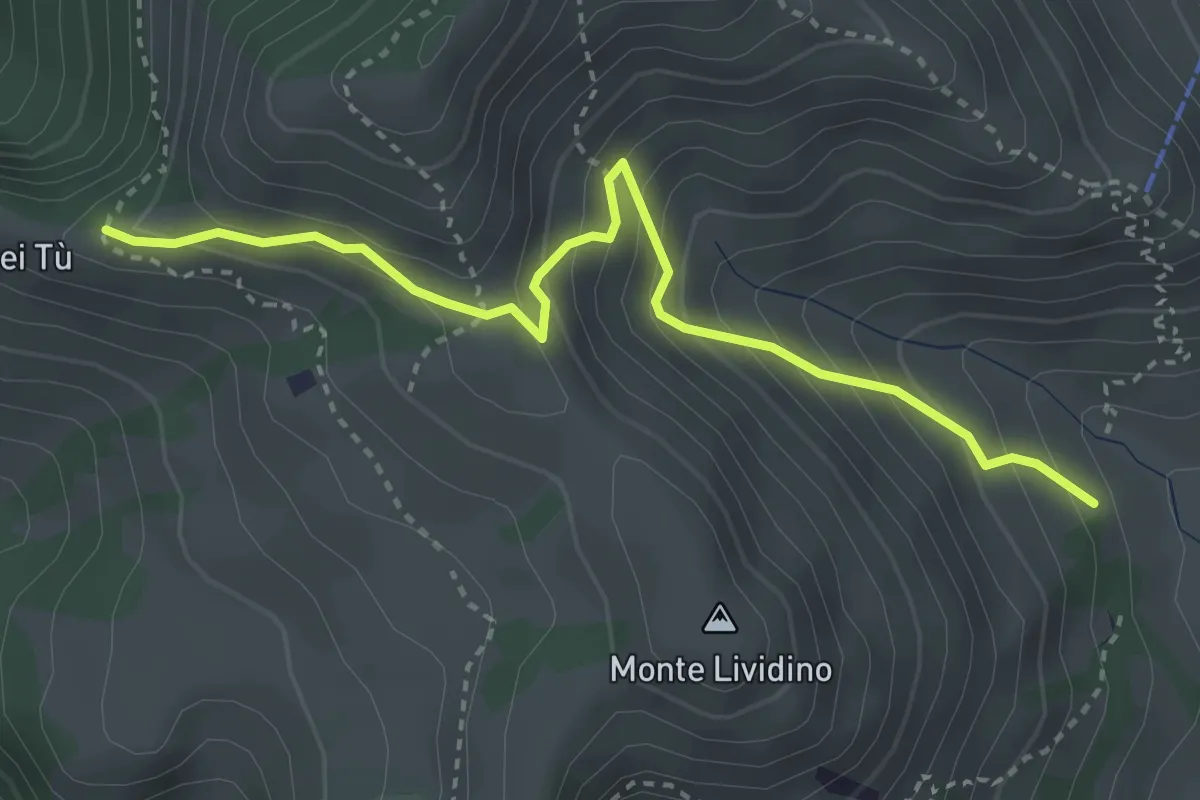
Medium · Trail
Marcheno (Piani di Caregno - Chiesetta degli Alpini) – Corni dei Tù (Bivio Sentiero 317)
3.5 km · ↑ 357 m · 1 h 37 min · 7 km away
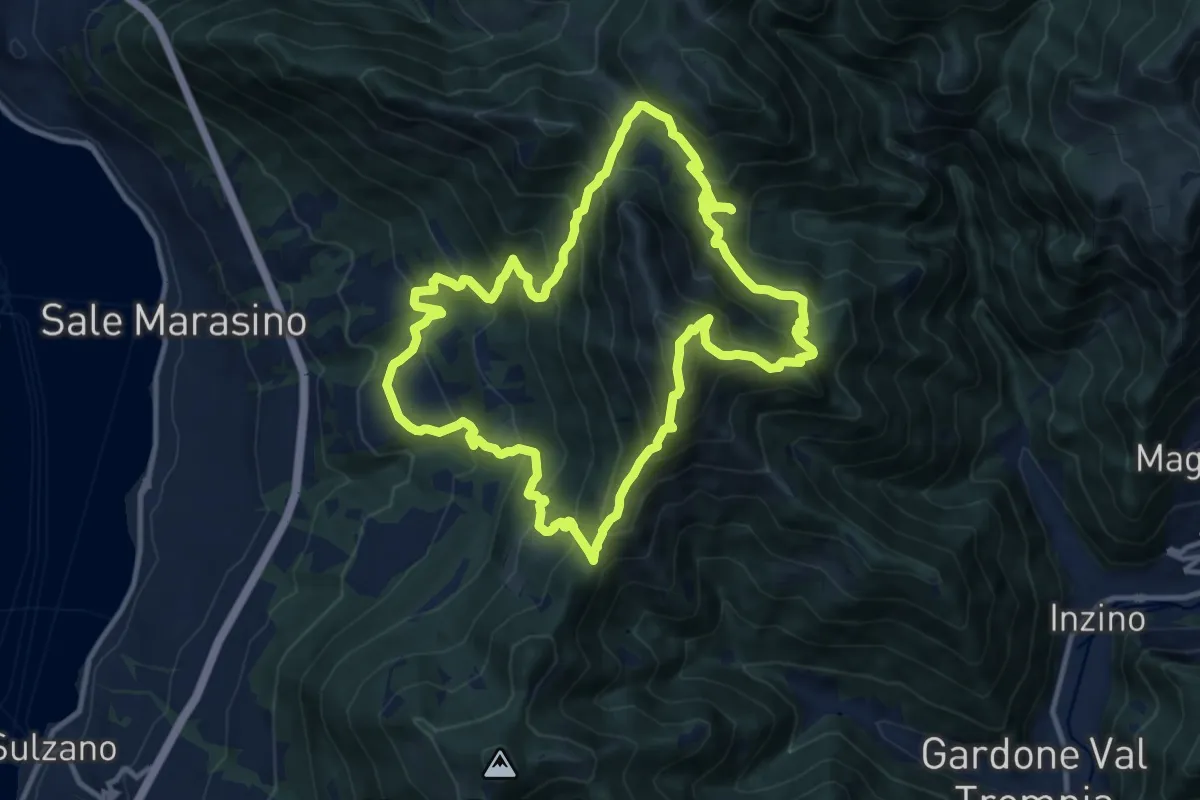
Demanding · Summit
Malghe in Rete - Anello 1 - Punta Almana
12.2 km · ↑ 1122 m · 5 h 30 min · 7 km away
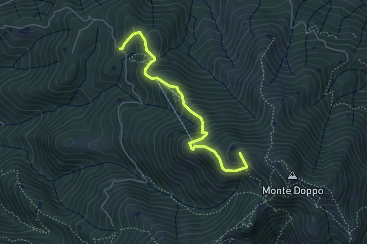
Medium · Summit
Lumezzane (Burio) - Bivio per San Giorgio
4.2 km · ↑ 376 m · 1 h 48 min · 7 km away
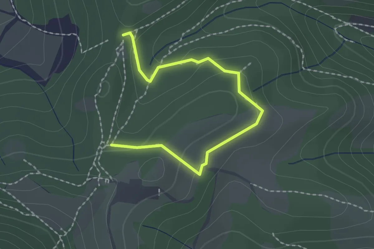
Medium · Trail
Collebeato (Roccolo Polonioli) – Sella del Madì (Innesto Sentiero 248)
2.1 km · ↑ 64 m · 38 min · 8 km away
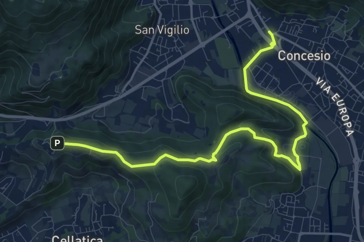
Medium · Trail
Sentiero Pietro Ottaviani
12.8 km · ↑ 333 m · 3 h 44 min · 8 km away
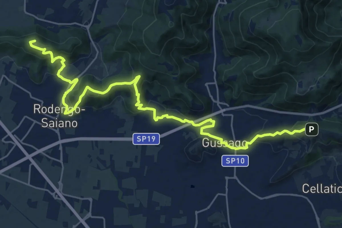
Demanding · Summit
Sentiero della Franciacorta
21.9 km · ↑ 913 m · 7 h 9 min · 8 km away
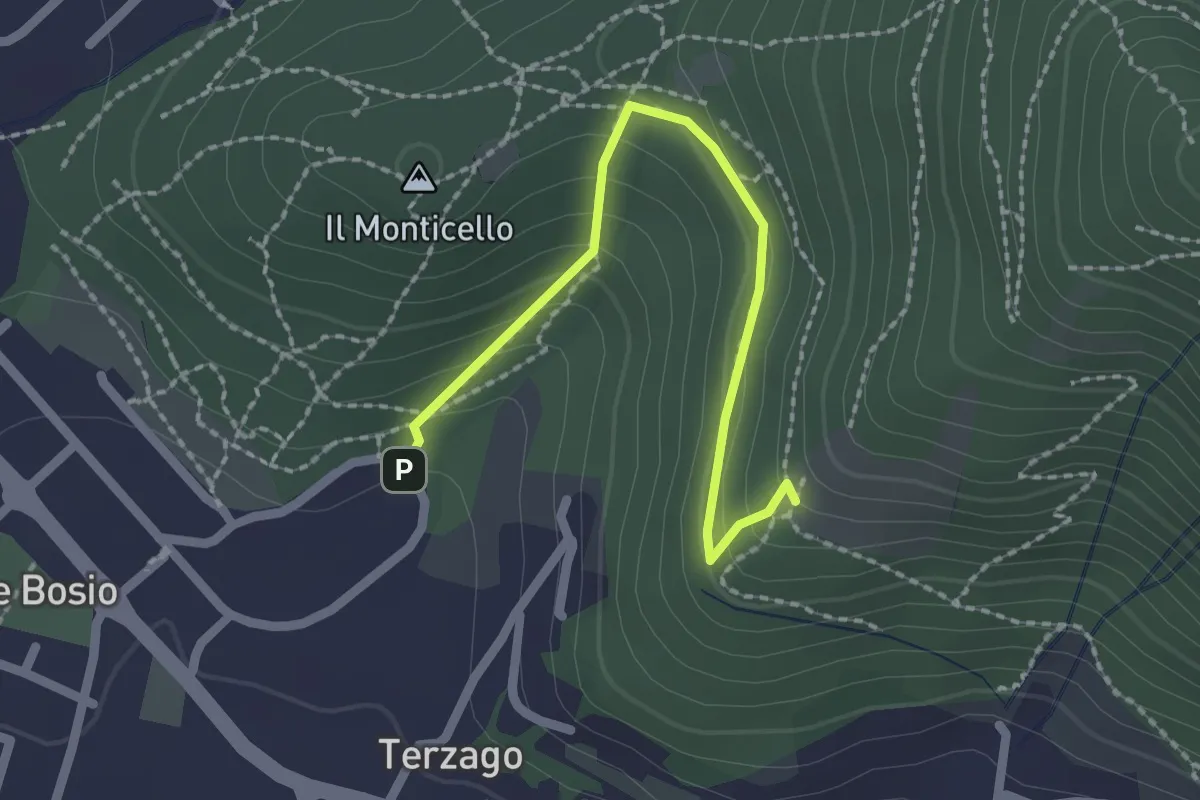
Medium · Trail
Sentiero del Marrone (Variante Concesio)
2.2 km · ↑ 137 m · 49 min · 8 km away
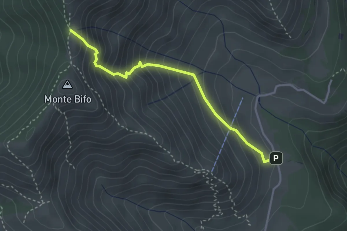
Medium · Trail
Marcheno (Piani di Caregno - Bivio Sentiero 320) – Passo dell Sabbione (Bivio Sentiero 318)
3.0 km · ↑ 387 m · 1 h 32 min · 8 km away
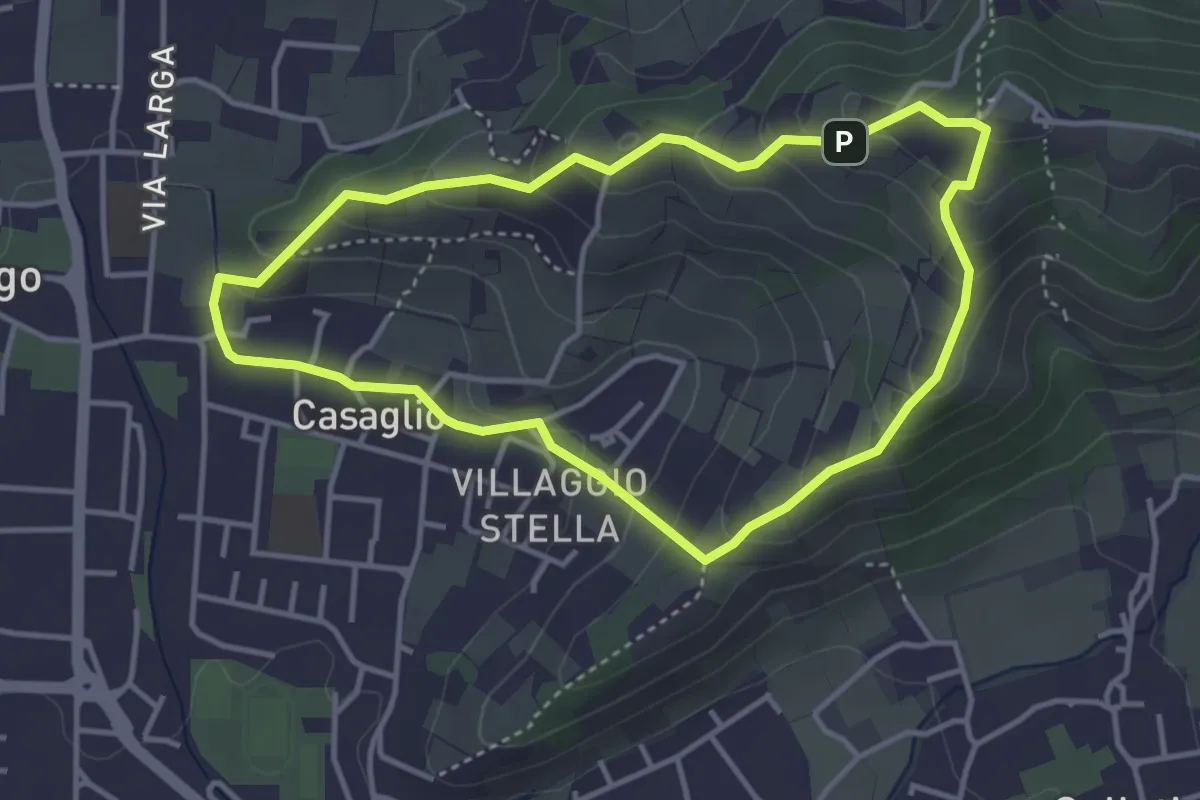
Easy · Trail
Via Crucis - San Rocco - Stella
3.7 km · ↑ 201 m · 1 h 21 min · 8 km away
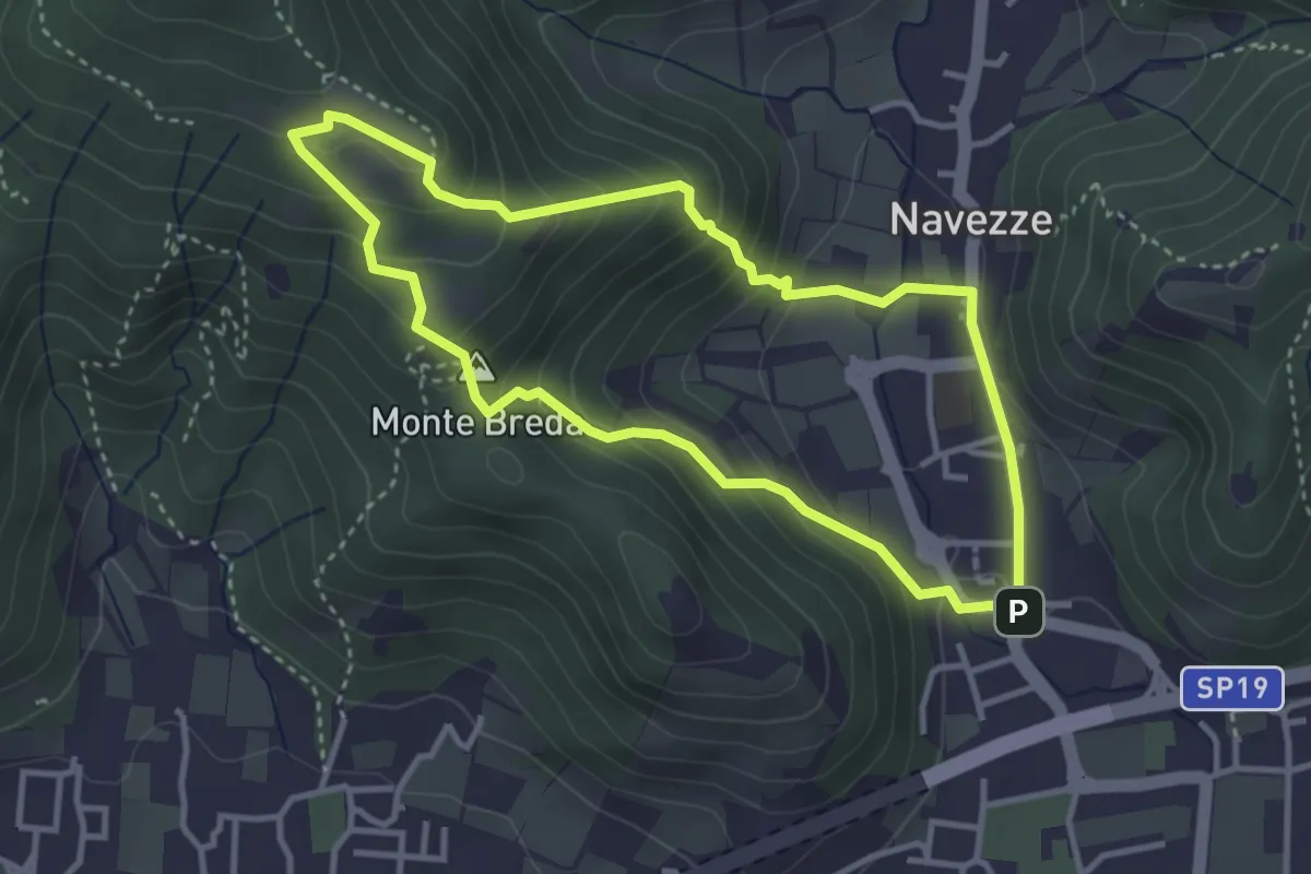
Medium · Summit
Le due Tese - Batoccolo
3.4 km · ↑ 256 m · 1 h 24 min · 8 km away
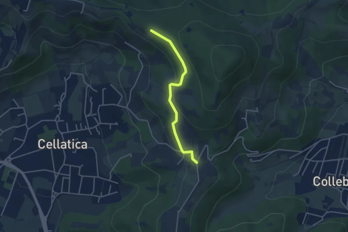
Easy · Trail
Sentiero 3V - Tappa 8 (Variante bassa)
2.9 km · ↑ 95 m · 54 min · 8 km away