Trails near Sarezzo
327 hikes starting within 15 km, nearest first.
Nearest first, page 4 of 7
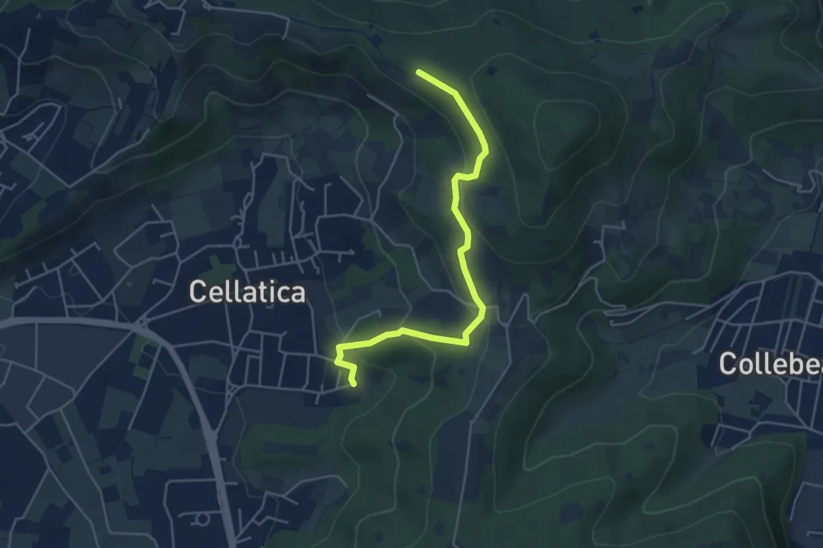
Easy · Trail
Cellatica (Cantone) – Cascina Monte Grande (Innesto Sentiero 3V)
4.5 km · ↑ 213 m · 1 h 31 min · 8 km away
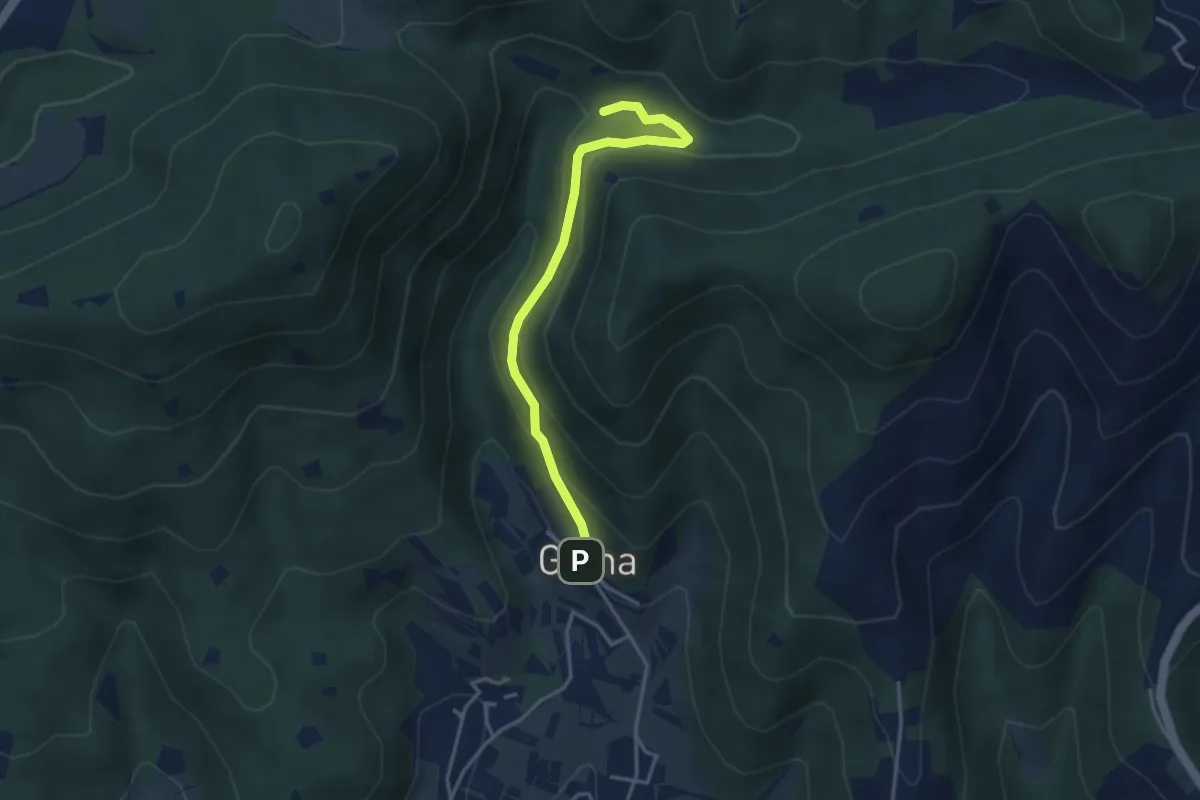
Medium · Trail
Sentiero delle Cascate - Variante B
3.6 km · ↑ 217 m · 1 h 20 min · 8 km away
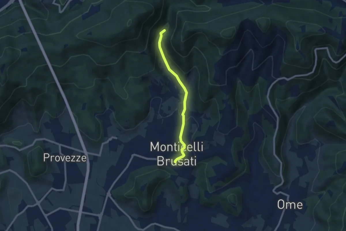
Easy · Trail
Sentiero delle Cascate (Percorso Principale)
5.2 km · ↑ 150 m · 1 h 34 min · 8 km away
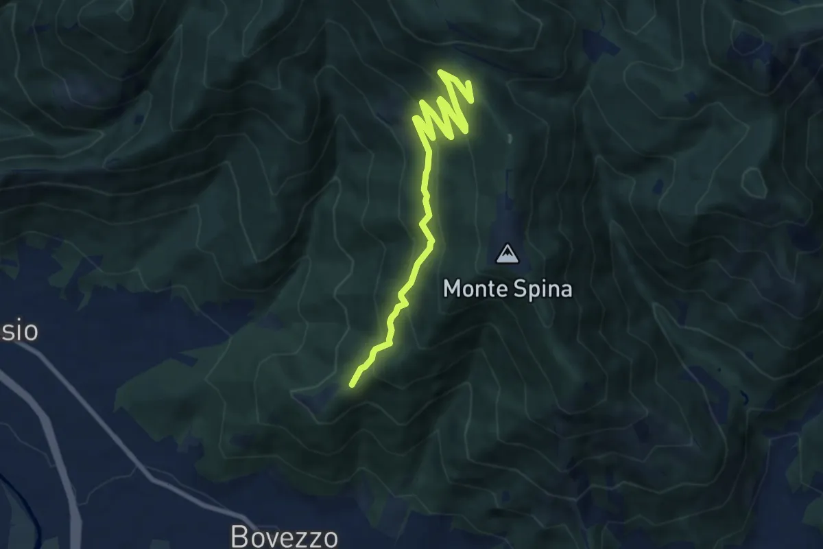
Medium · Trail
Bovezzo (Santella delle Pentere) – Strada del Sant'Onofrio
8.5 km · ↑ 469 m · 3 h 1 min · 8 km away
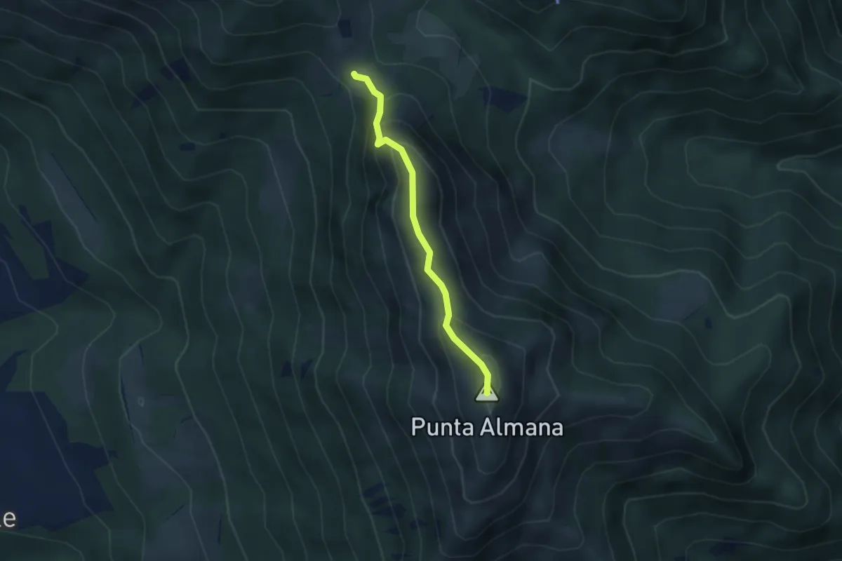
Expert · Summit
Sentiero Filippo Benedetti
2.8 km · ↑ 244 m · 1 h 12 min · 8 km away
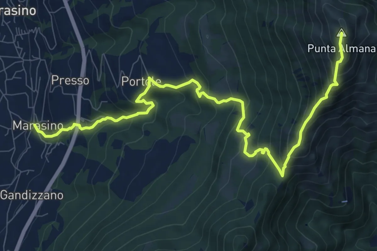
Demanding · Summit
Marasino – Punta Almana
11.4 km · ↑ 1126 m · 5 h 9 min · 8 km away
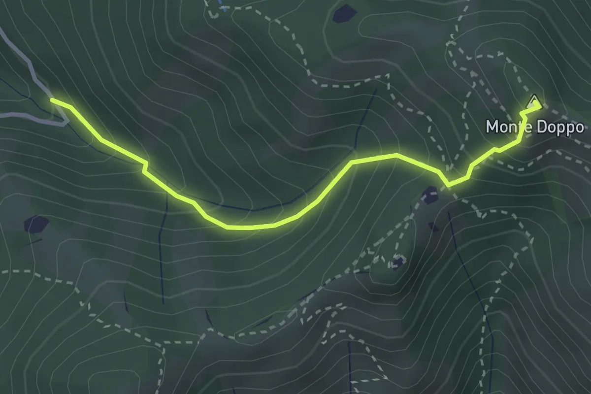
Expert · Summit
Lumezzane (Valle San Giorgio) - Monte Doppo
2.8 km · ↑ 348 m · 1 h 25 min · 8 km away
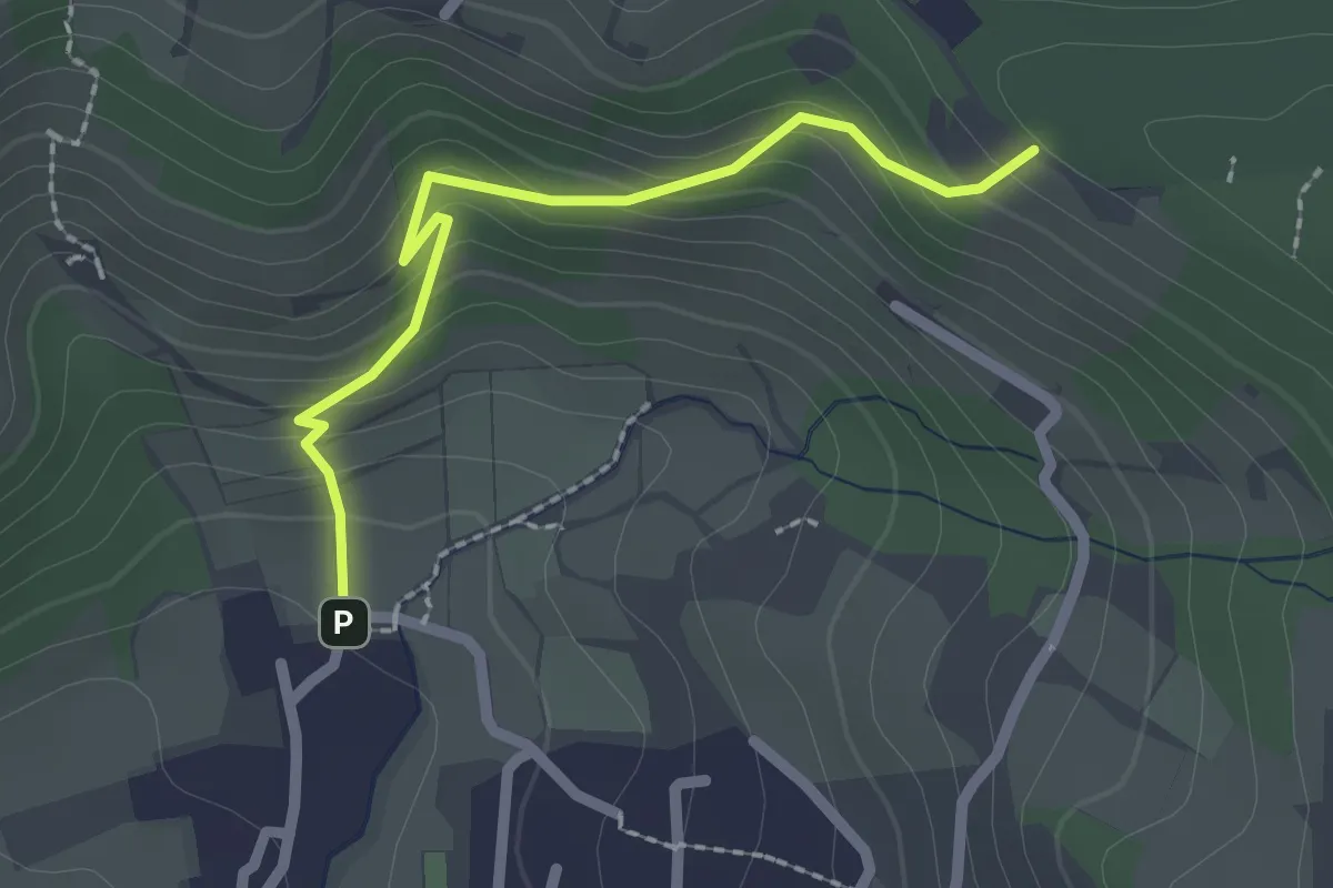
Easy · Trail
Cellatica (Palas) – Cascina Monte Grande (Innesto Sentiero 3V)
2.1 km · ↑ 186 m · 55 min · 8 km away
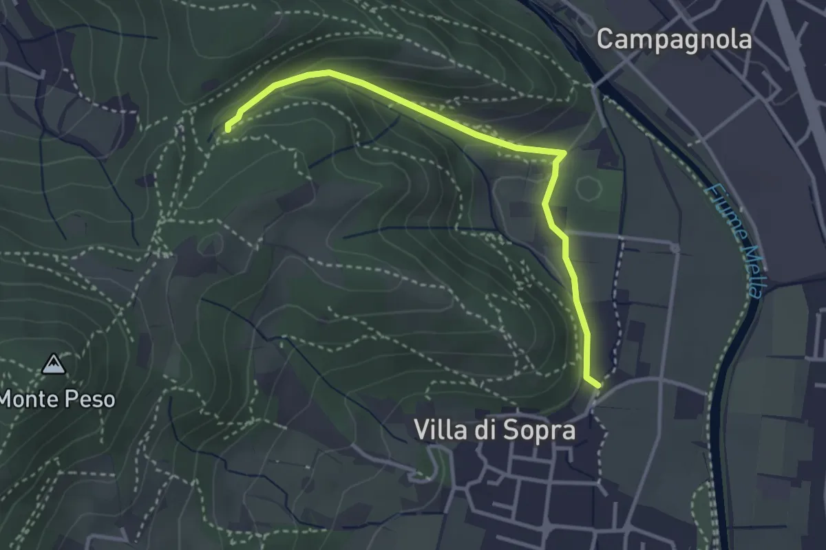
Medium · Trail
Collebeato (La Noia) – Monte Zuccolotto (Innesto Sentiero 248)
3.3 km · ↑ 135 m · 1 h 4 min · 8 km away
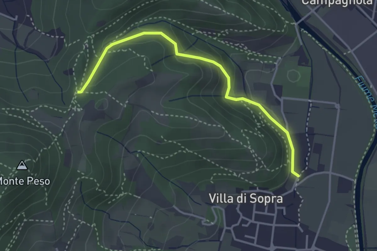
Medium · Trail
Collebeato (La Noia) – Sella del Madì (Innesto Sentiero 247)
3.5 km · ↑ 192 m · 1 h 15 min · 8 km away
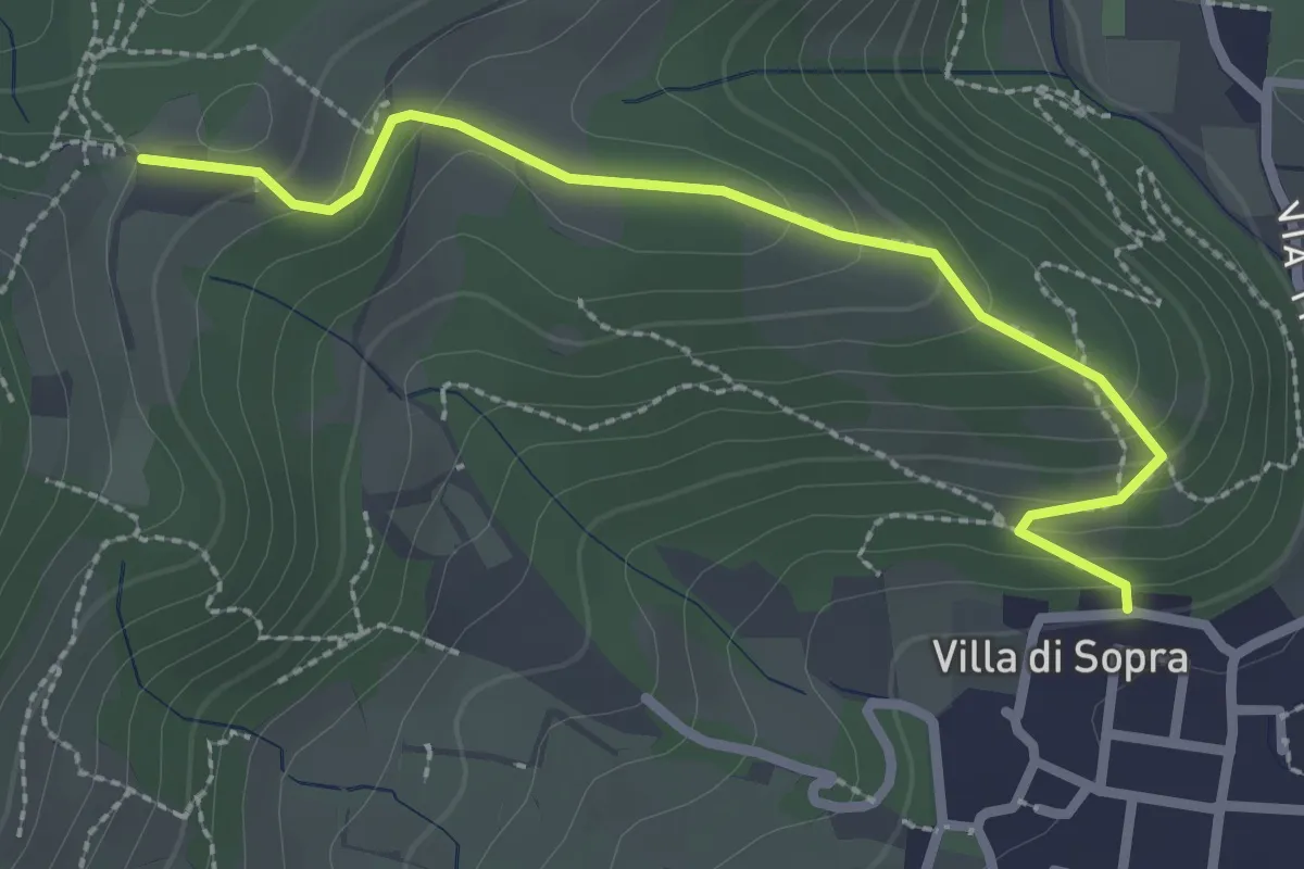
Medium · Trail
Collebeato (Villa Sopra) – Ex Convento di Santo Stefano
2.7 km · ↑ 146 m · 58 min · 8 km away
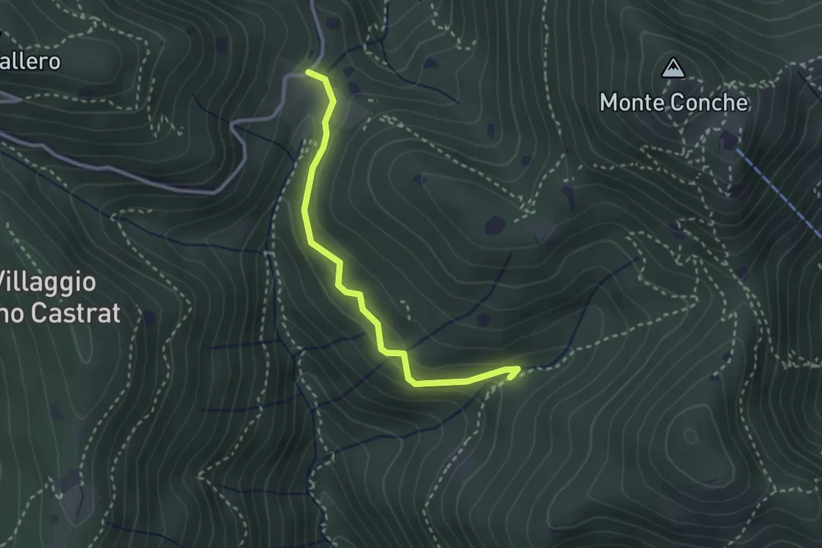
Medium · Trail
Nave (Valle delle Monache) - Cascina Cocca
2.7 km · ↑ 112 m · 53 min · 8 km away
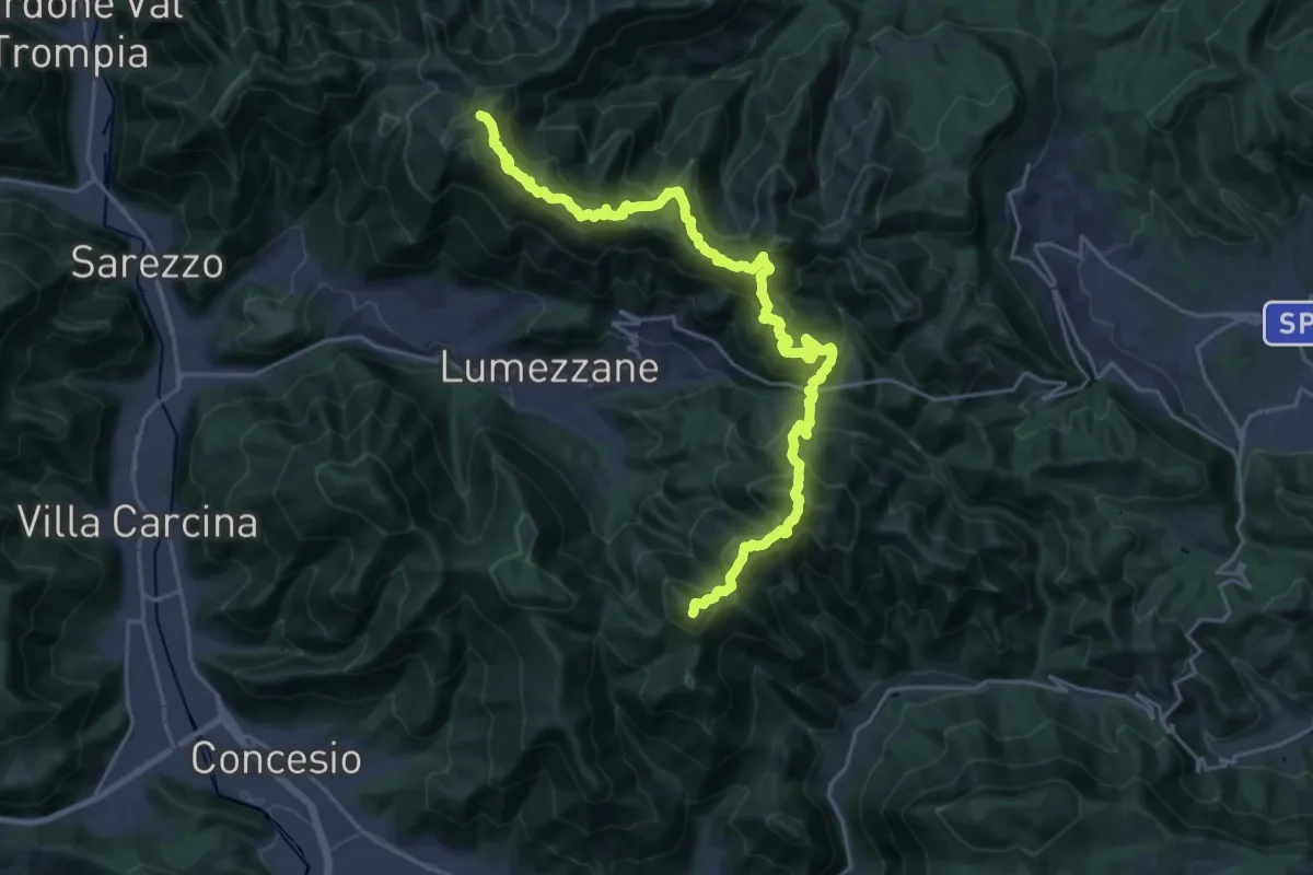
Demanding · Summit
Sentiero 3V - Tappa 2
27.2 km · ↑ 2052 m · 10 h 52 min · 8 km away
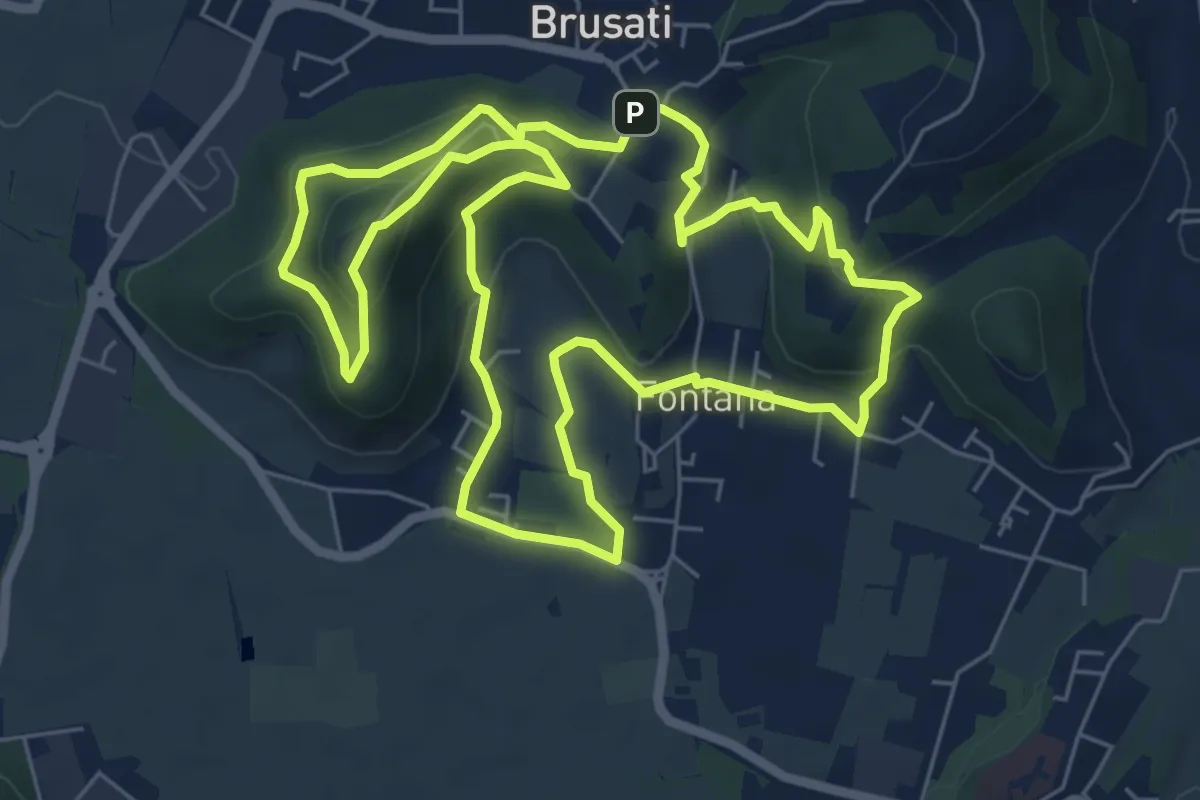
Easy · Trail
Tra il vecchio castello e la Madonna della Rosa
7.0 km · ↑ 299 m · 2 h 24 min · 8 km away
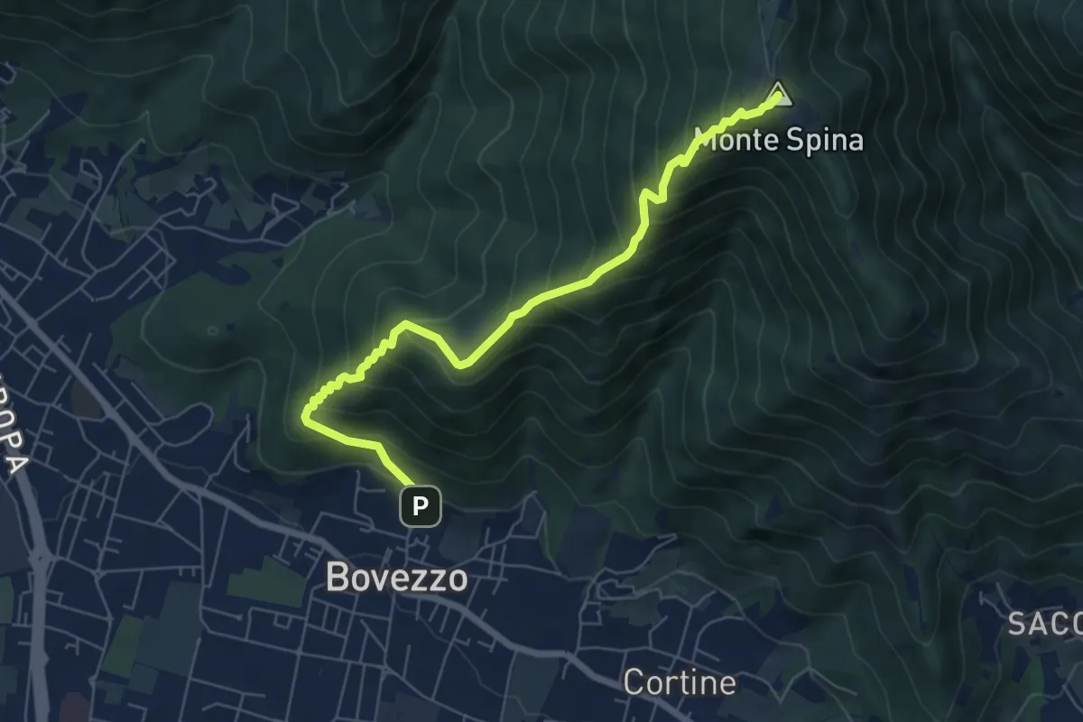
Medium · Summit
Bovezzo (Via Castello) – Sant'Onofrio
6.9 km · ↑ 705 m · 3 h 10 min · 8 km away
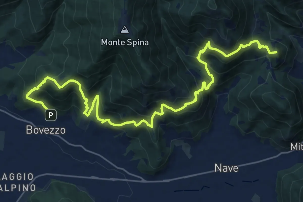
Demanding · Summit
Sentiero del Marrone
20.2 km · ↑ 1796 m · 8 h 40 min · 8 km away
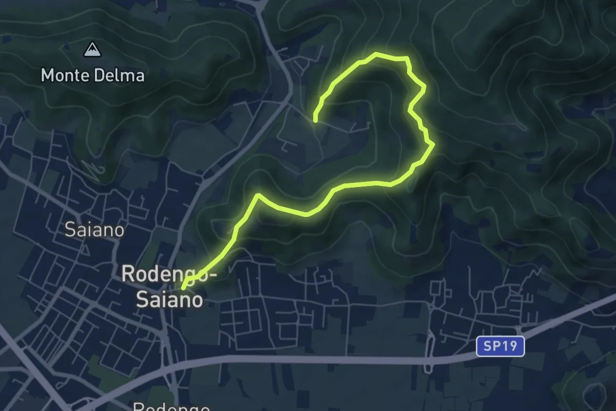
Medium · Trail
Rodengo Saiano (Ponte Cigoli) – Rodengo Saiano (Corneto - Innesto Sentiero 279)
7.5 km · ↑ 561 m · 2 h 59 min · 8 km away
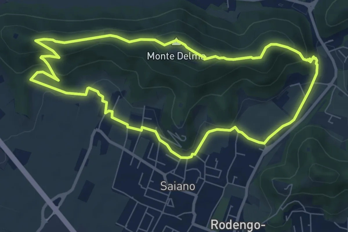
Medium · Summit
Giro del Monte Delma
6.9 km · ↑ 224 m · 2 h 12 min · 8 km away
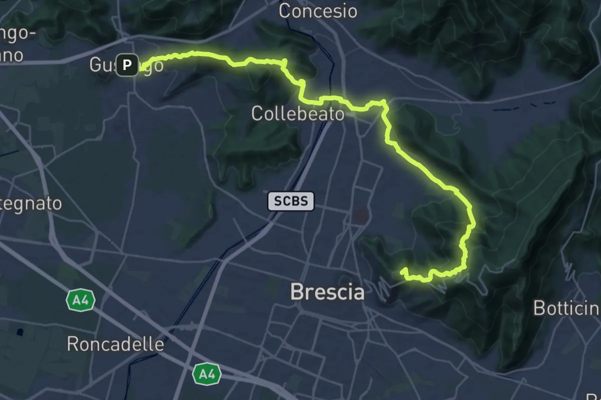
Medium · Summit
La Via delle Sorelle - Tappa 1
16.8 km · ↑ 713 m · 5 h 37 min · 8 km away
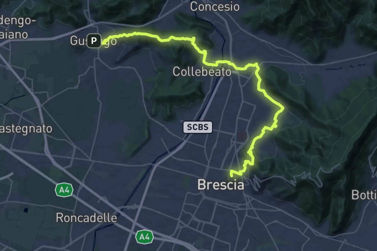
Medium · Summit
La Via delle Sorelle - Tappa 1 variante bassa
16.4 km · ↑ 431 m · 5 h · 8 km away
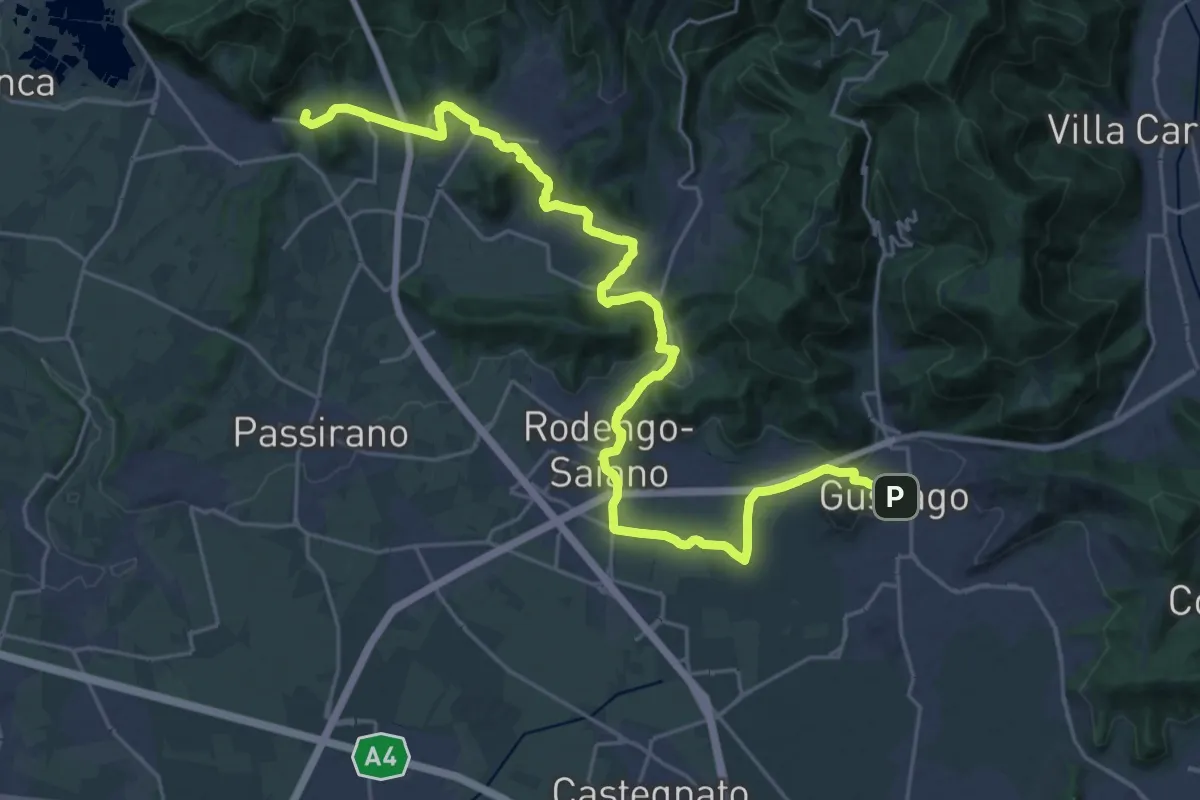
Medium · Summit
La Via delle Sorelle - Tappa 2 variante bassa
15.3 km · ↑ 256 m · 4 h 19 min · 8 km away
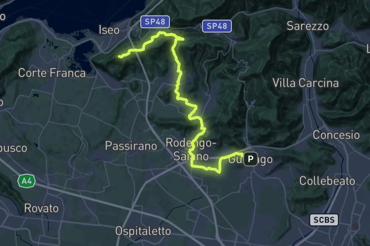
Demanding · Summit
La Via delle Sorelle - Tappa 2
20.0 km · ↑ 651 m · 6 h 10 min · 8 km away
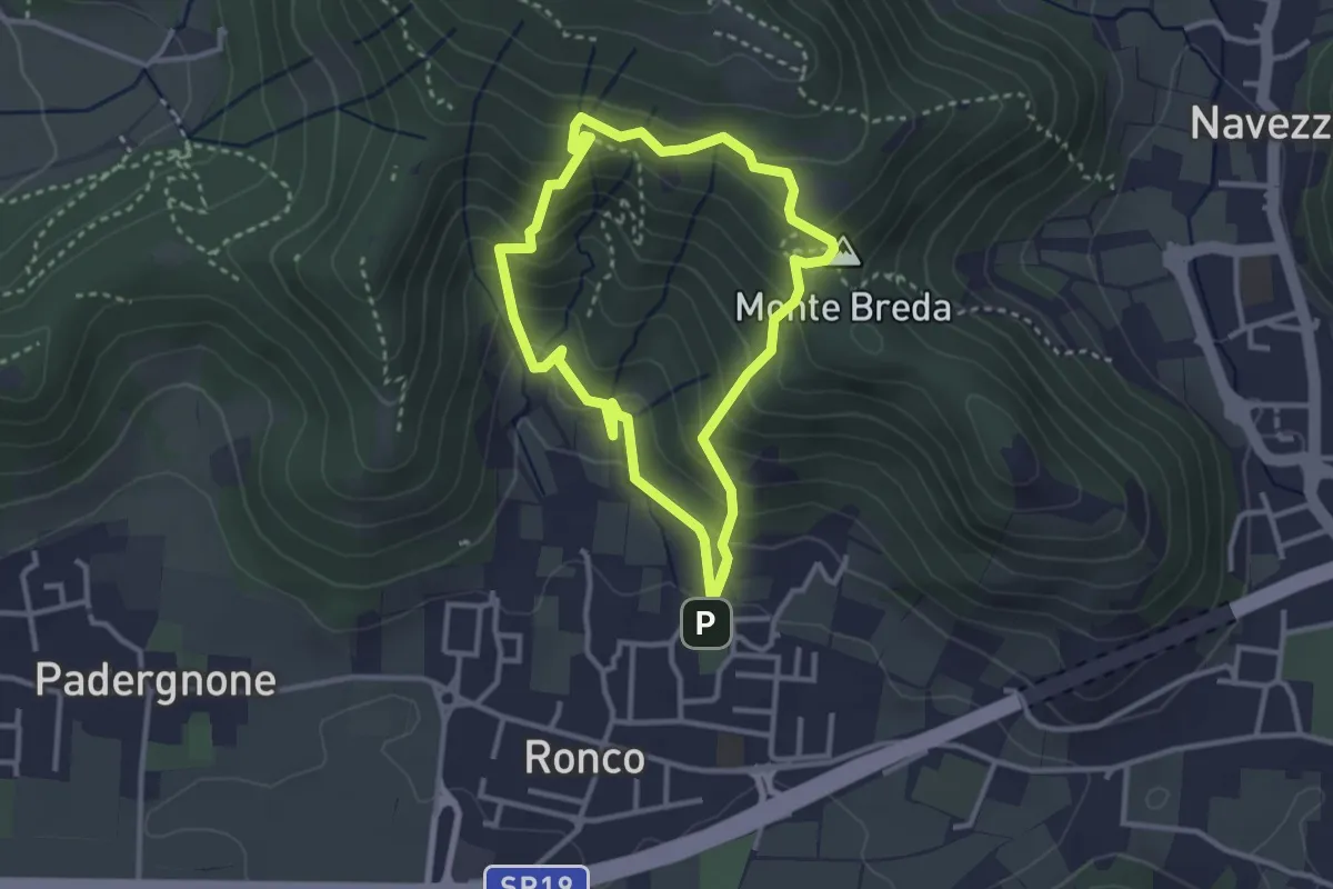
Medium · Summit
Gussago (Ronco) - Tesa di Sotto - Valle Bianca
2.9 km · ↑ 248 m · 1 h 16 min · 8 km away
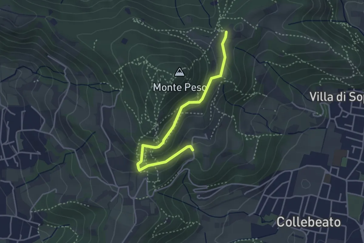
Easy · Trail
Collebeato (Campianelli di Sotto) – Ex Convento dii Santo Stefano
3.5 km · ↑ 158 m · 1 h 10 min · 8 km away
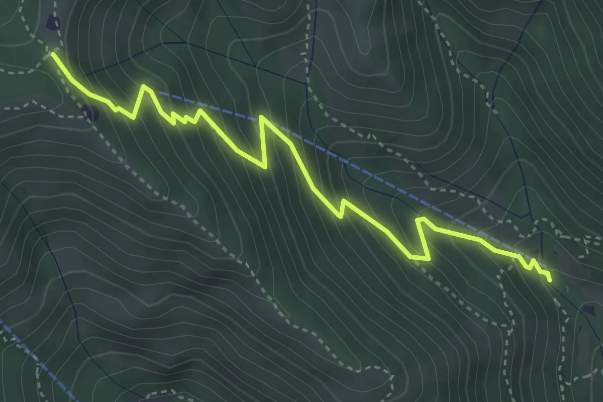
Medium · Trail
Caino (Madonna delle Fontane) – Monte Conche (Innesto Sentiero 381)
4.2 km · ↑ 450 m · 1 h 58 min · 8 km away
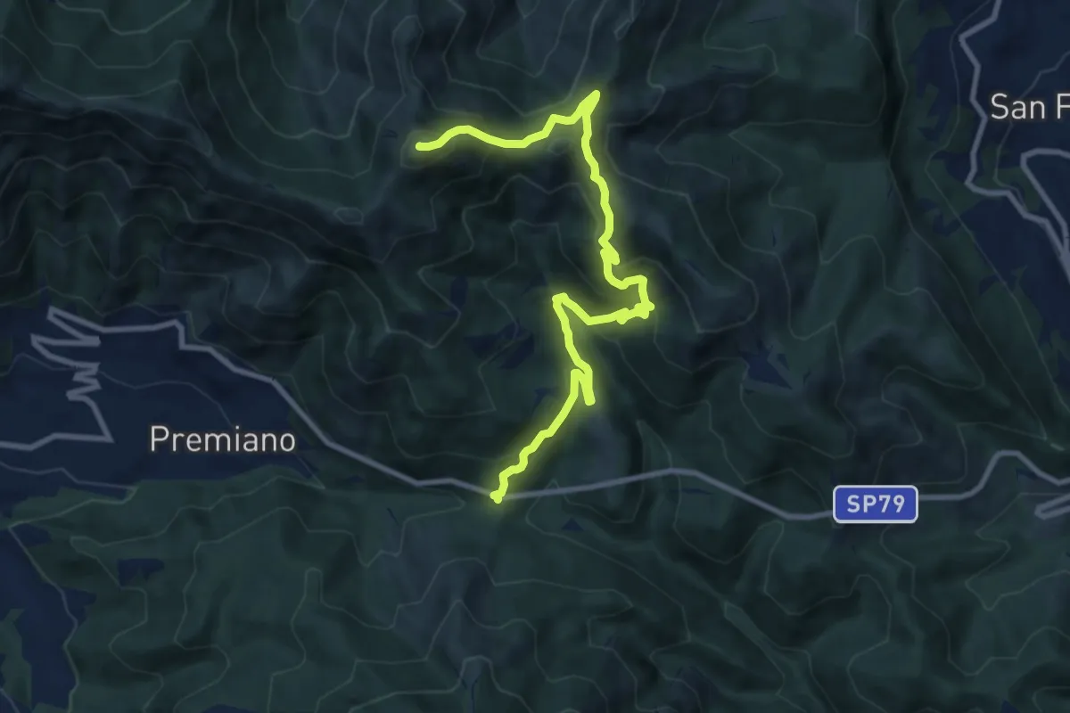
Demanding · Summit
Lumezzane (Passo del Cavallo) – Punta Camoghera
10.5 km · ↑ 734 m · 4 h 4 min · 9 km away
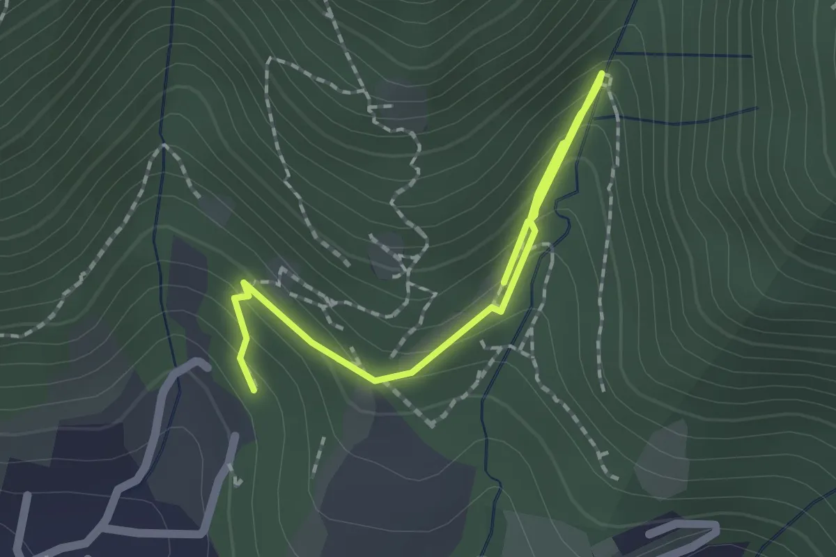
Medium · Trail
Percorso botanico
2.7 km · ↑ 231 m · 1 h 9 min · 9 km away
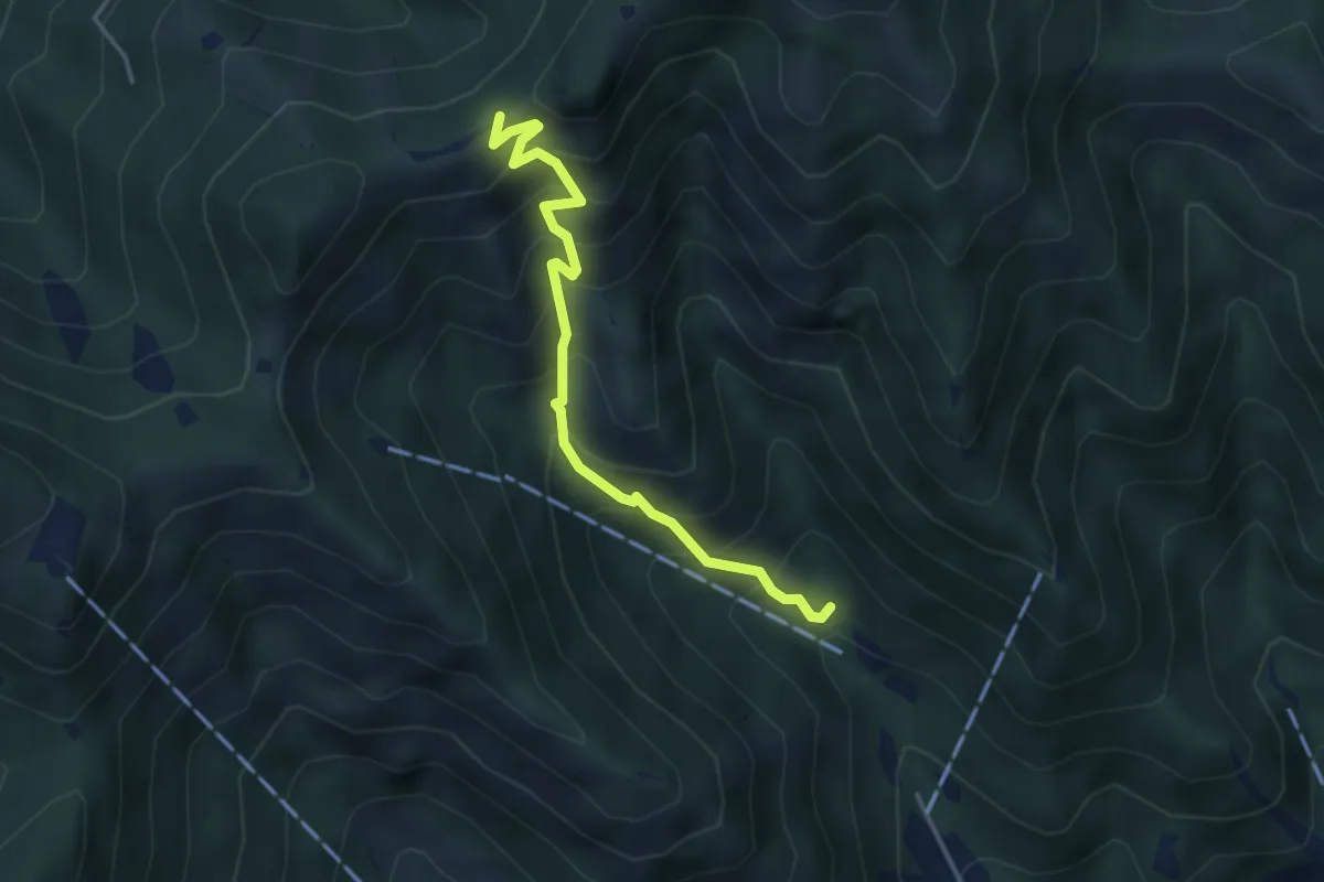
Medium · Trail
Caino (Madonna delle Fontane) – San Giorgio (Innesto Sentiero 381)
3.9 km · ↑ 503 m · 2 h 1 min · 9 km away
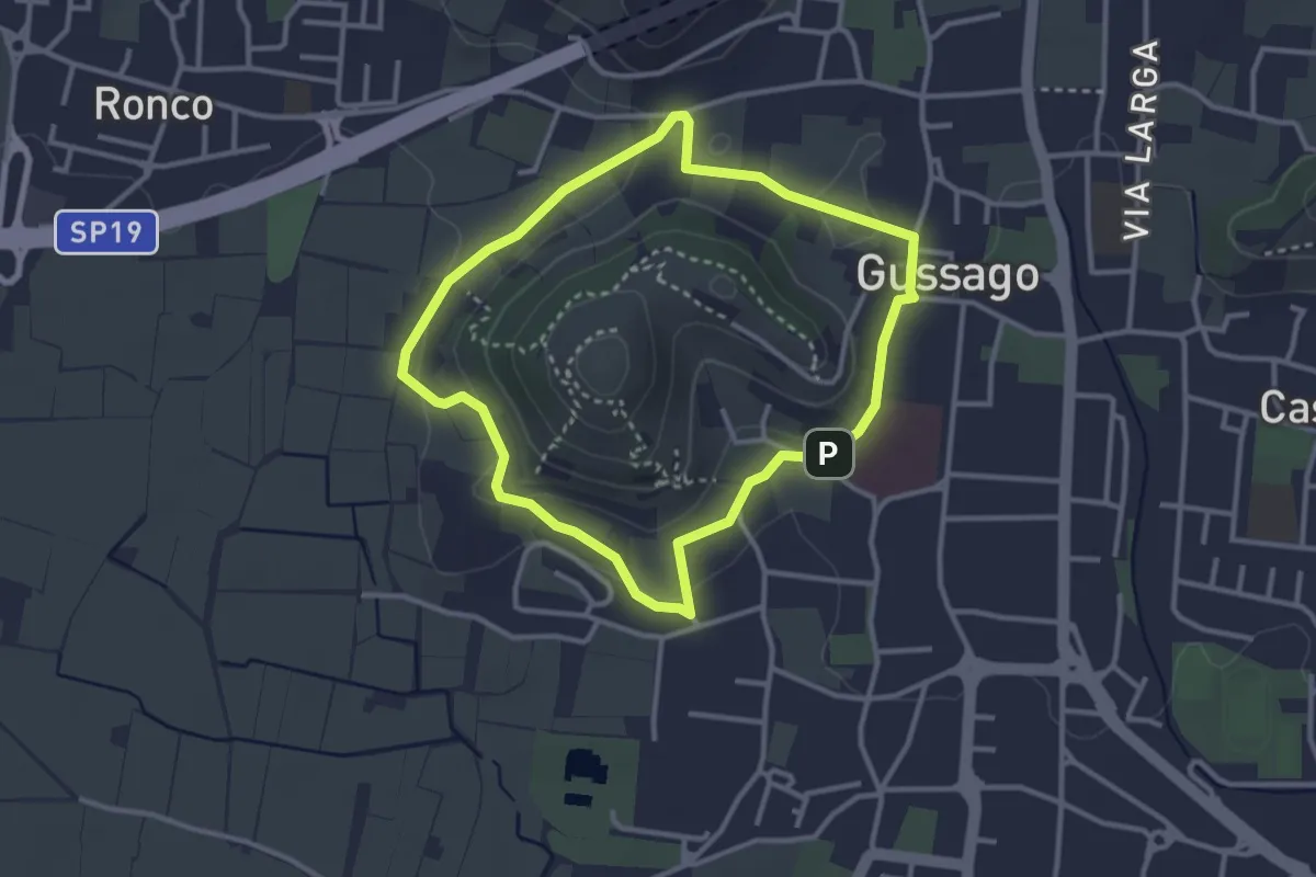
Easy · Trail
Periplo della Santissima
3.0 km · ↑ 70 m · 54 min · 9 km away
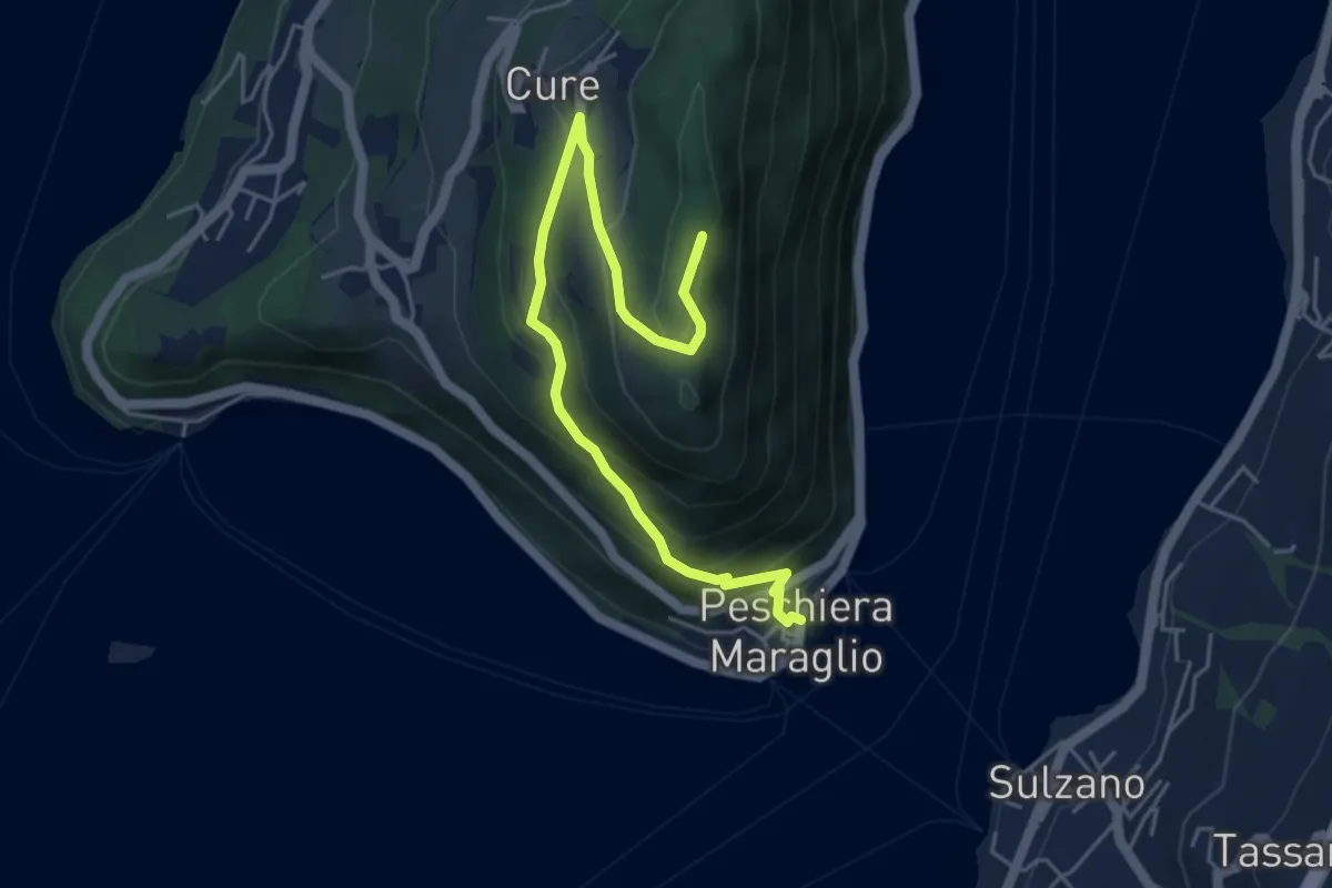
Medium · Summit
Pescheria Maraglio - Santuario della Ceriola
5.7 km · ↑ 392 m · 2 h 11 min · 9 km away
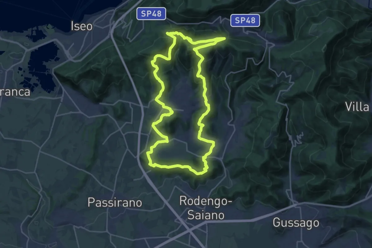
Demanding · Summit
El gir del Muntasel
20.5 km · ↑ 865 m · 6 h 59 min · 9 km away
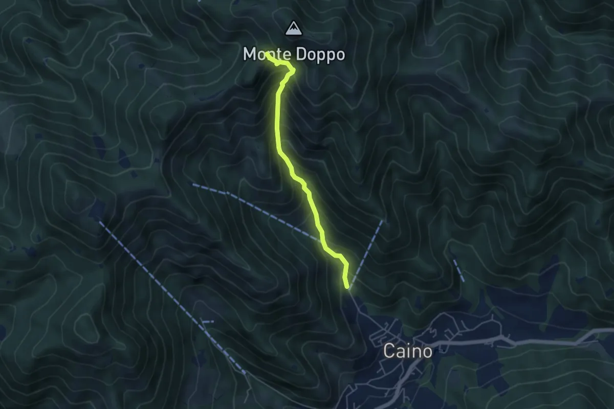
Medium · Trail
Caino (Pian delle Castagne) – Eremo di San Giorgio (Innesto Sentiero 381)
4.3 km · ↑ 584 m · 2 h 16 min · 9 km away
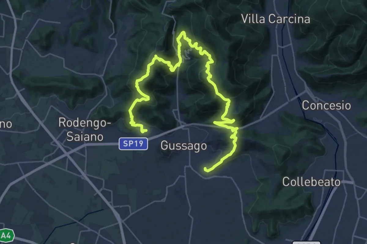
Demanding · Summit
Giro delle Colline
16.7 km · ↑ 1170 m · 6 h 43 min · 9 km away
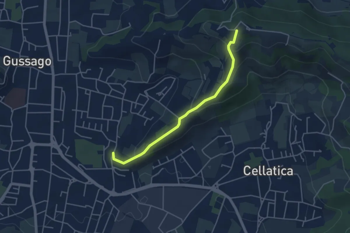
Easy · Trail
Cellatica (Casaglio) – Santuario della Stella
3.6 km · ↑ 213 m · 1 h 19 min · 9 km away
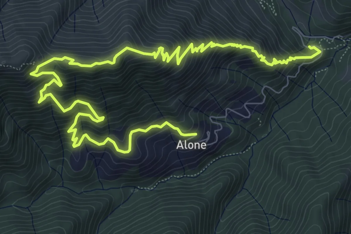
Medium · Trail
Sapei - Santa Caterina - Fo del Gal - San Rocco
6.4 km · ↑ 705 m · 3 h 4 min · 9 km away
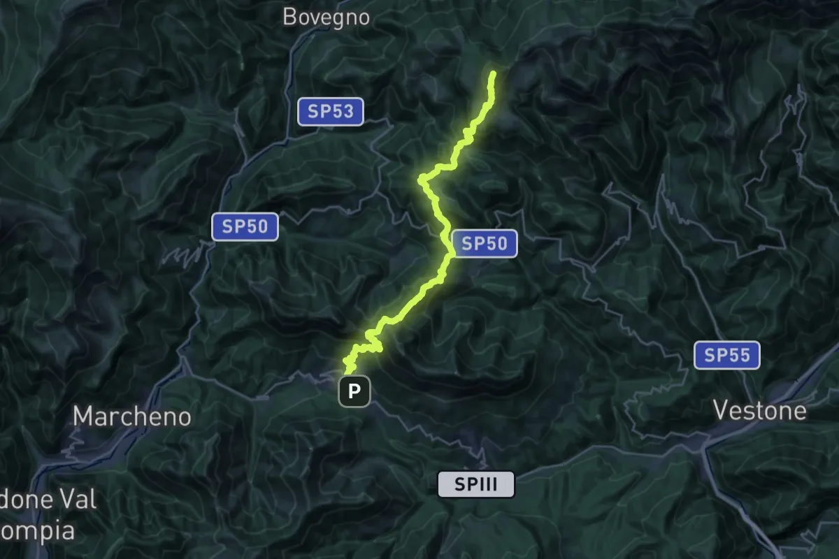
Demanding · Summit
Sentiero 3V - Tappa 3
25.5 km · ↑ 1895 m · 10 h 8 min · 9 km away
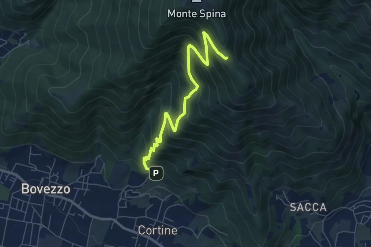
Medium · Cabin
Nave (Cortine - Albergo dei Poveri) – Roccolo Squassina
6.2 km · ↑ 586 m · 2 h 45 min · 9 km away
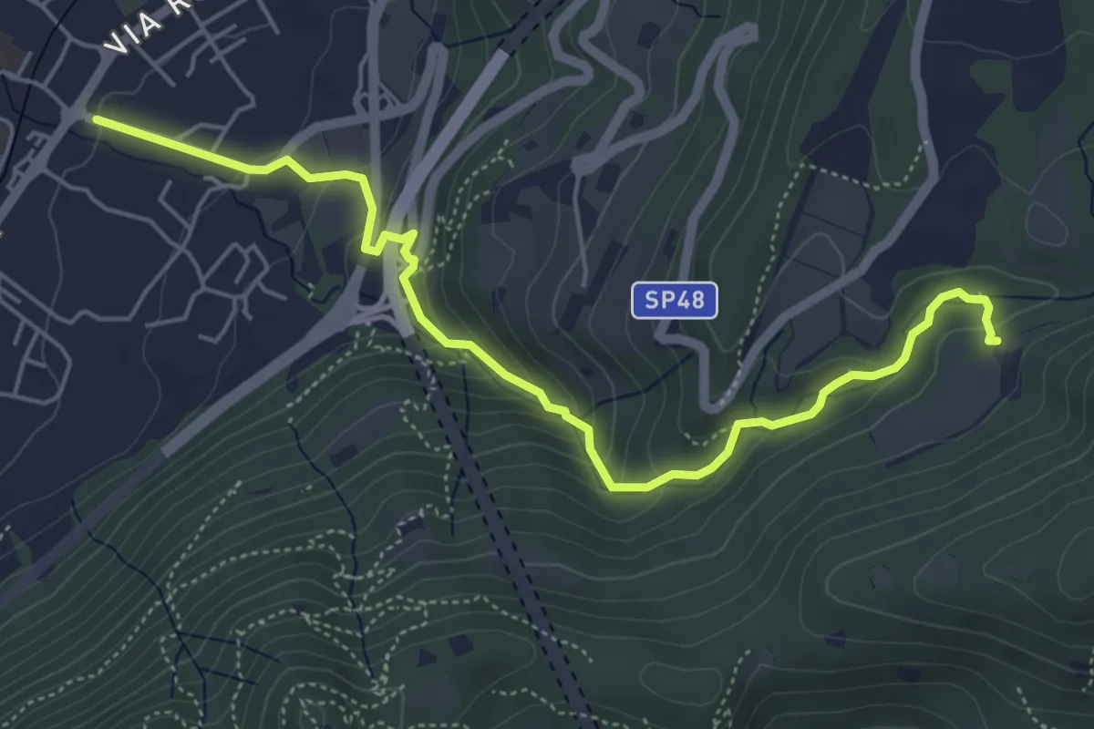
Medium · Trail
Sentér del Gat
5.9 km · ↑ 306 m · 2 h 4 min · 9 km away
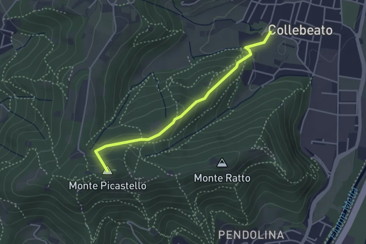
Medium · Summit
Collebeato (Via Angolo di Sotto) – Campiani (Il Merlo)
3.3 km · ↑ 178 m · 1 h 10 min · 9 km away
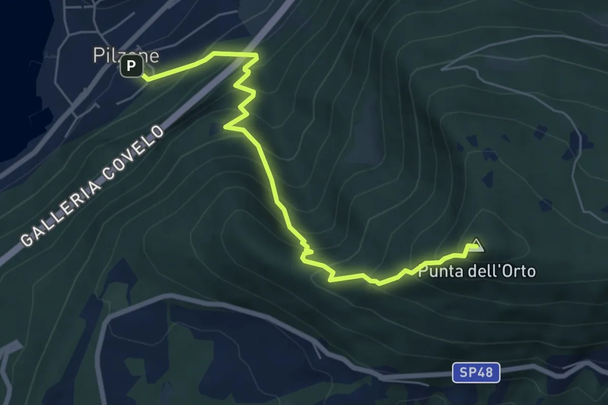
Medium · Summit
Pilzone – Punta dell'Orto
6.0 km · ↑ 762 m · 3 h 3 min · 9 km away
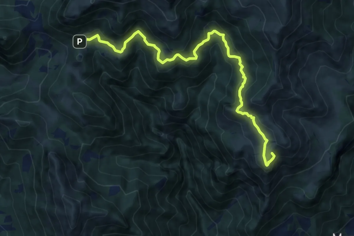
Demanding · Summit
Marcheno (Piani di Caregno) – Croce di Marone
13.2 km · ↑ 836 m · 4 h 56 min · 9 km away
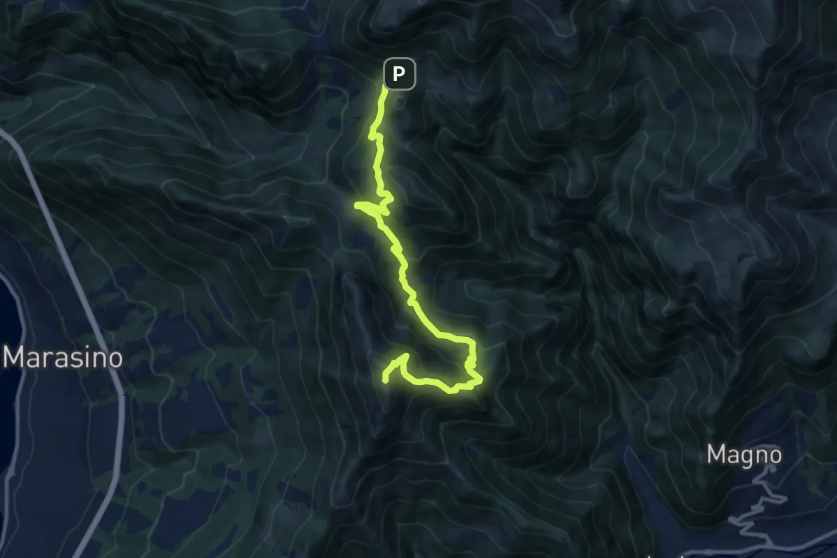
Demanding · Summit
Malghe in Rete - Trekking - Le Creste Tappa 1
11.5 km · ↑ 881 m · 4 h 37 min · 9 km away
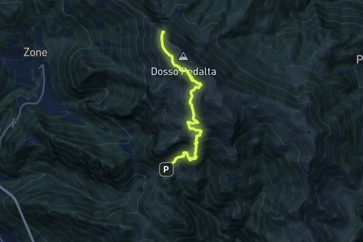
Demanding · Summit
Malghe in Rete - Trekking - Le Creste Tappa 2
11.3 km · ↑ 842 m · 4 h 29 min · 9 km away
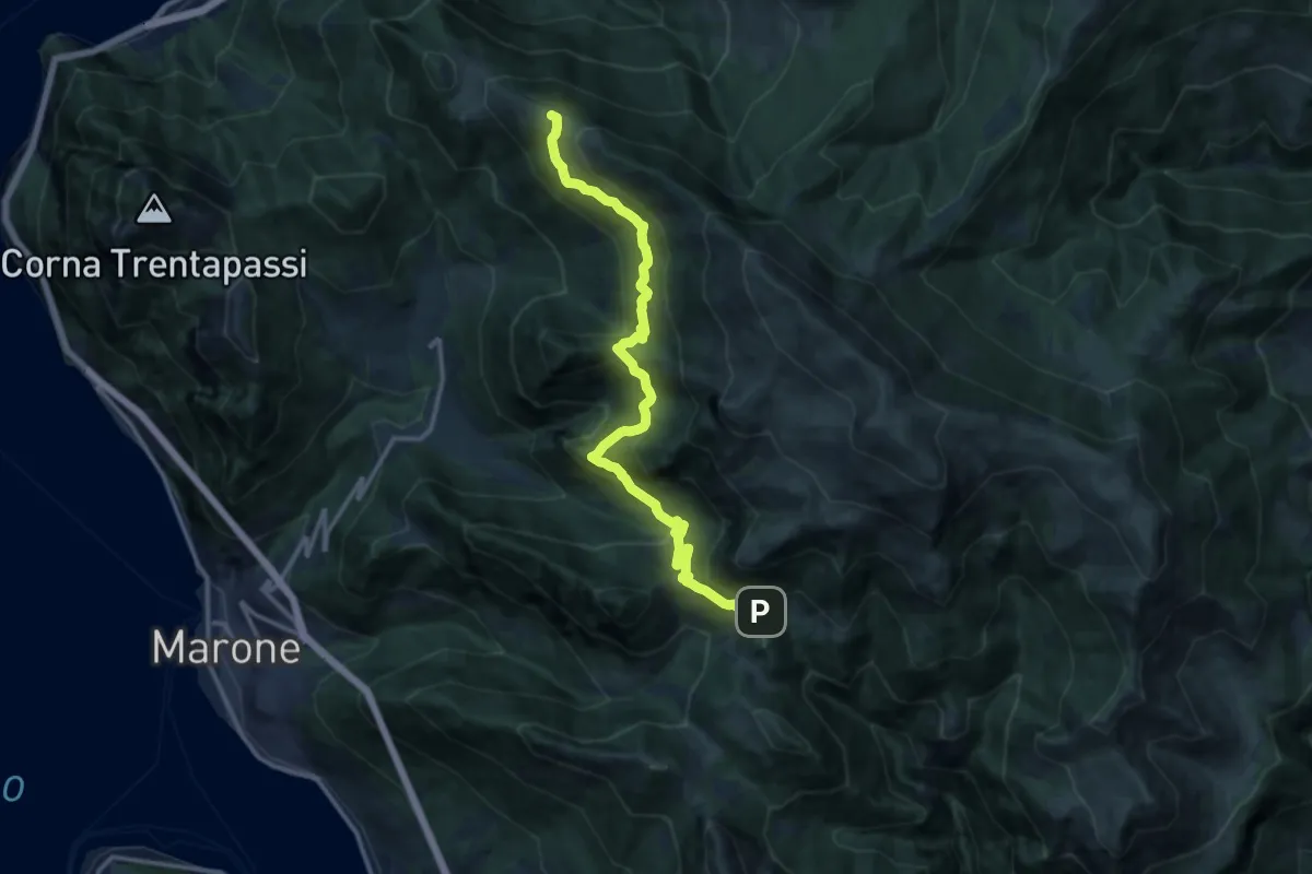
Expert · Summit
Sentiero dell'Uccellatore
14.4 km · ↑ 920 m · 5 h 24 min · 9 km away
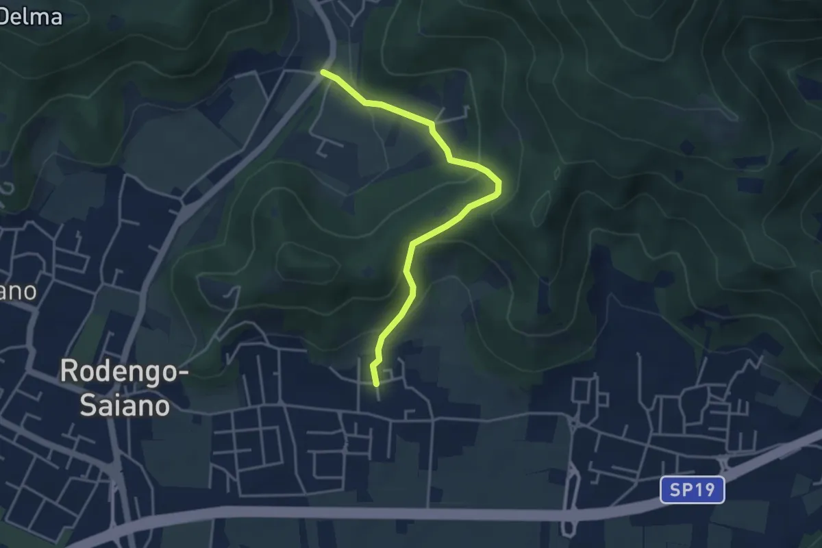
Medium · Trail
Rodengo Saiano (Padergnone - Via Montello incrocio Via Monte Nero) – Corneto
3.7 km · ↑ 194 m · 1 h 18 min · 9 km away
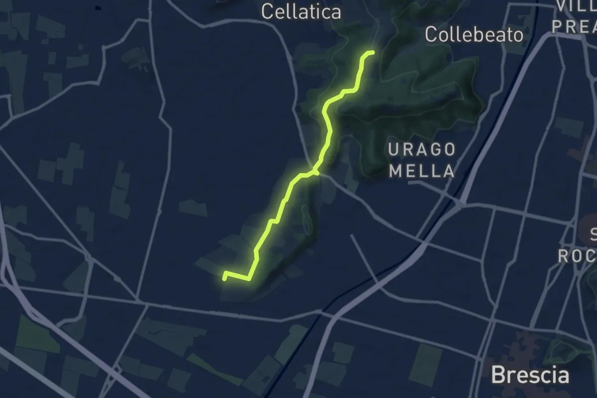
Medium · Trail
Brescia (Via del Santellone) – Campiani (Crosette, innesto sentiero 3V)
8.8 km · ↑ 209 m · 2 h 31 min · 9 km away
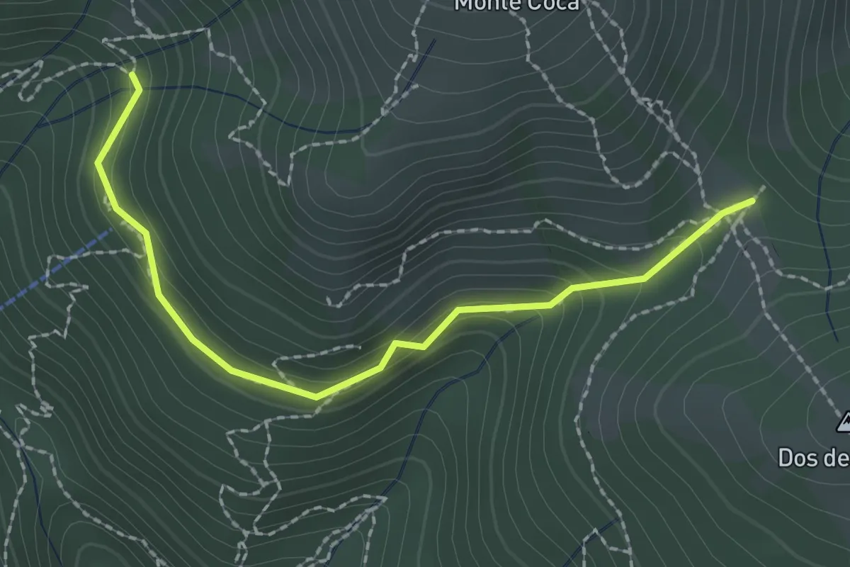
Medium · Trail
Lumezzane (Innesto sentiero 370) - Cocca di Bione
2.2 km · ↑ 106 m · 45 min · 9 km away
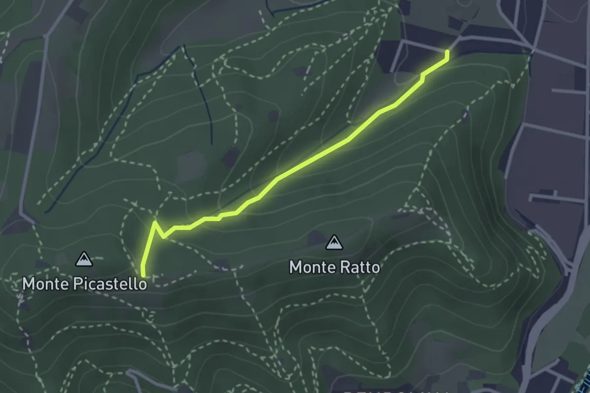
Easy · Trail
Collebeato (Campo de Carlì) – Innesto Sentiero 217
2.5 km · ↑ 158 m · 56 min · 9 km away