Trails near Sarezzo
327 hikes starting within 15 km, nearest first.
Nearest first, page 5 of 7
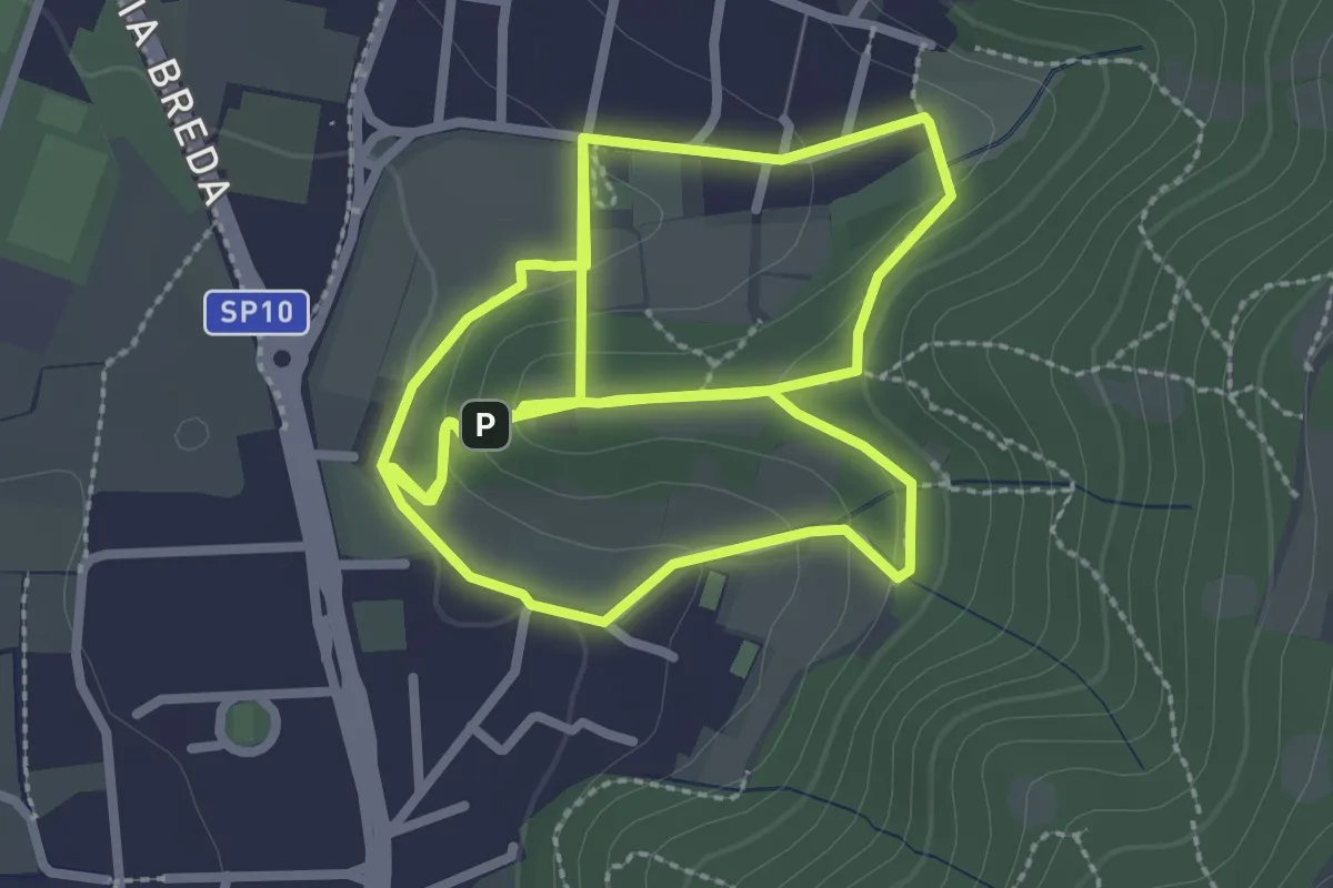
Easy · Trail
Percorso del Colle San Rocco
3.3 km · ↑ 89 m · 1 h 1 min · 9 km away
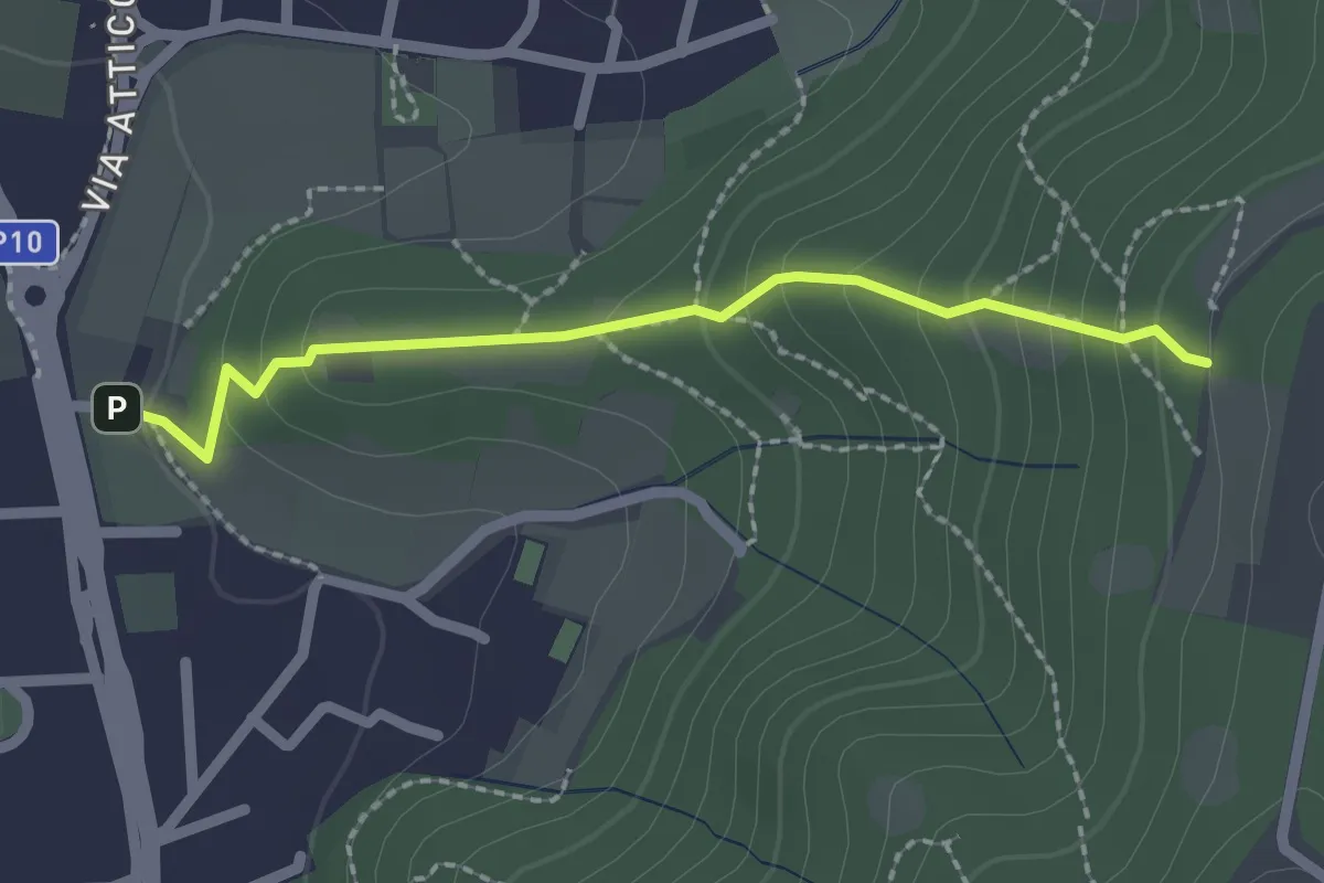
Medium · Trail
Cellatica (Via San Rocco) – Campiani (Innesto Sentiero 219)
2.1 km · ↑ 157 m · 50 min · 9 km away
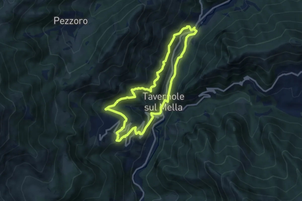
Medium · Trail
Sentiero 2 (La Pergua)
7.4 km · ↑ 437 m · 2 h 47 min · 9 km away
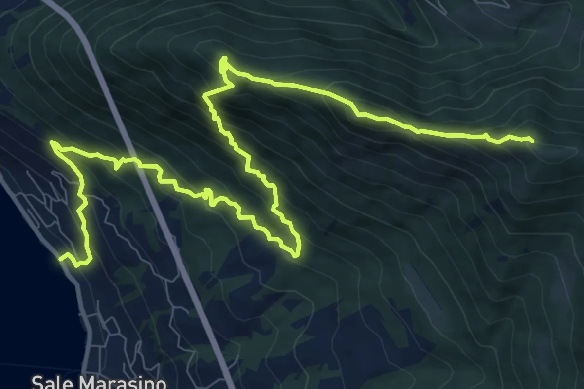
Demanding · Summit
Sale Marasino – Forcella di Sale
12.6 km · ↑ 1245 m · 5 h 40 min · 9 km away
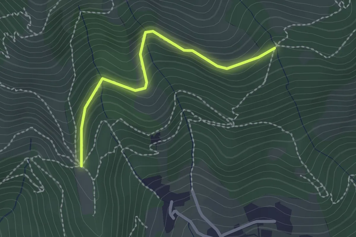
Easy · Trail
Nave (Cascina Mezzana) - Pozza Cà del Lì (Innesto Sentiero 392)
2.1 km · ↑ 177 m · 53 min · 10 km away
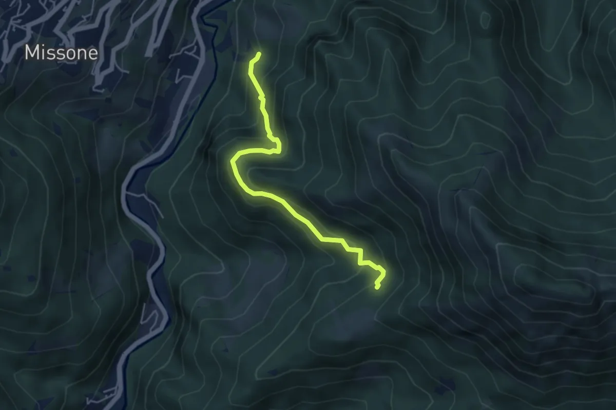
Medium · Trail
Antica Strada della Viola Alta
4.2 km · ↑ 367 m · 1 h 47 min · 10 km away
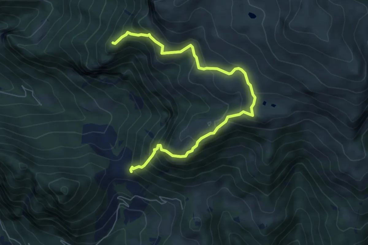
Demanding · Summit
Gasso – Rucca
7.3 km · ↑ 813 m · 3 h 30 min · 10 km away
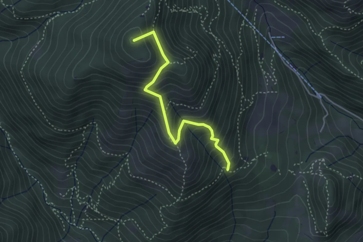
Medium · Summit
Sentiero Nunzio Tocchini
3.4 km · ↑ 371 m · 1 h 36 min · 10 km away
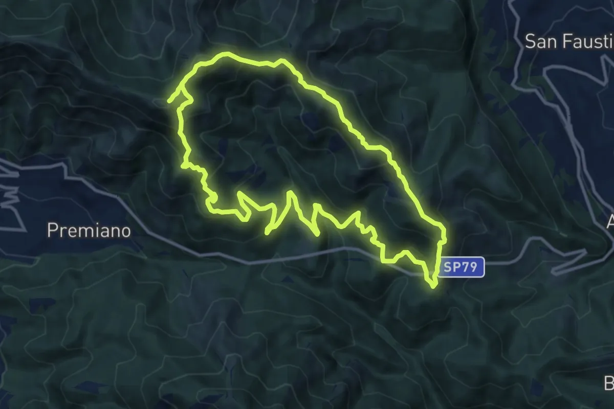
Demanding · Summit
Sentiero Tranquillo Bianchi e Caduti per la Libertà di Lumezzane - Tronco B
10.9 km · ↑ 840 m · 4 h 33 min · 10 km away
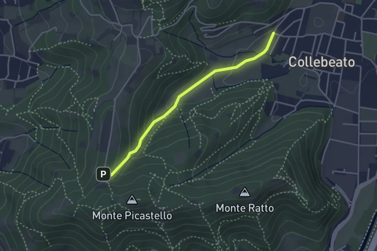
Medium · Trail
Collebeato (Angolo di Sopra) – Campiani (Il Merlo)
3.1 km · ↑ 131 m · 1 h 1 min · 10 km away
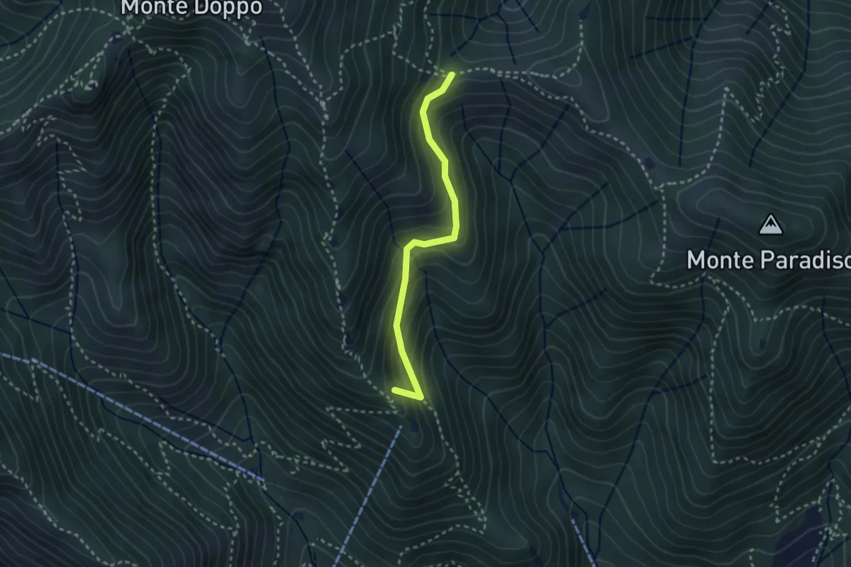
Medium · Summit
Caino (Pian delle Castagne) – Boatica (Innesto Sentiero 381)
2.6 km · ↑ 259 m · 1 h 10 min · 10 km away
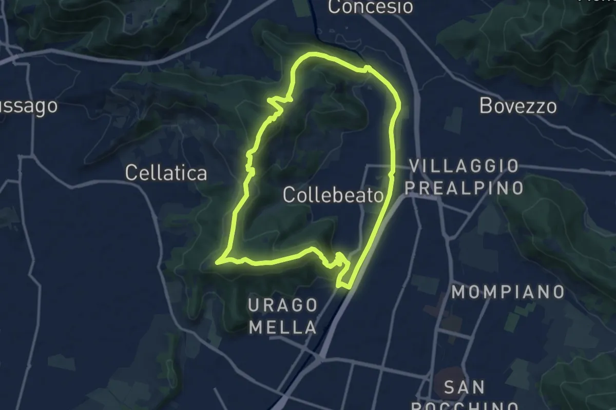
Demanding · Summit
Periplo di Collebeato - Sentiero del Gian (Gianpietro Nicolini)
11.3 km · ↑ 415 m · 3 h 44 min · 10 km away
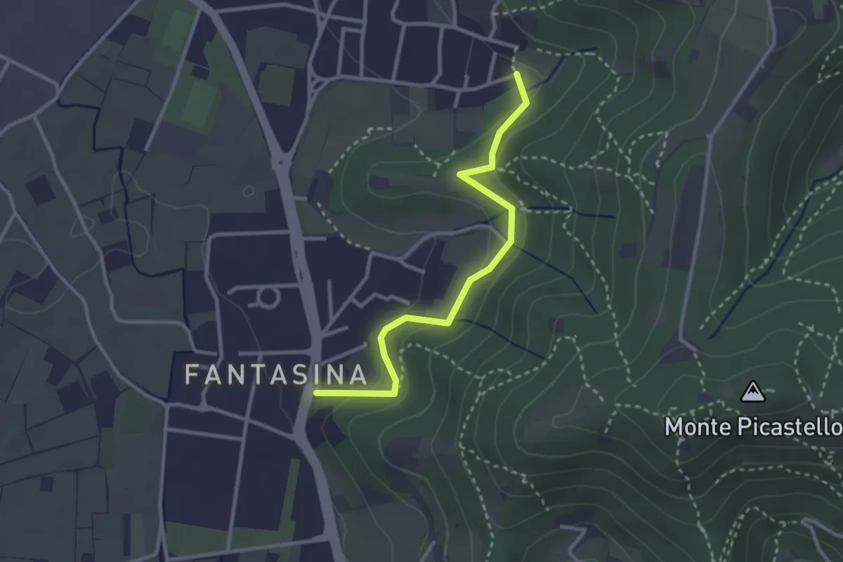
Easy · Trail
Cellatica (Fantasina) – Cellatica (Cantone)
2.9 km · ↑ 101 m · 54 min · 10 km away
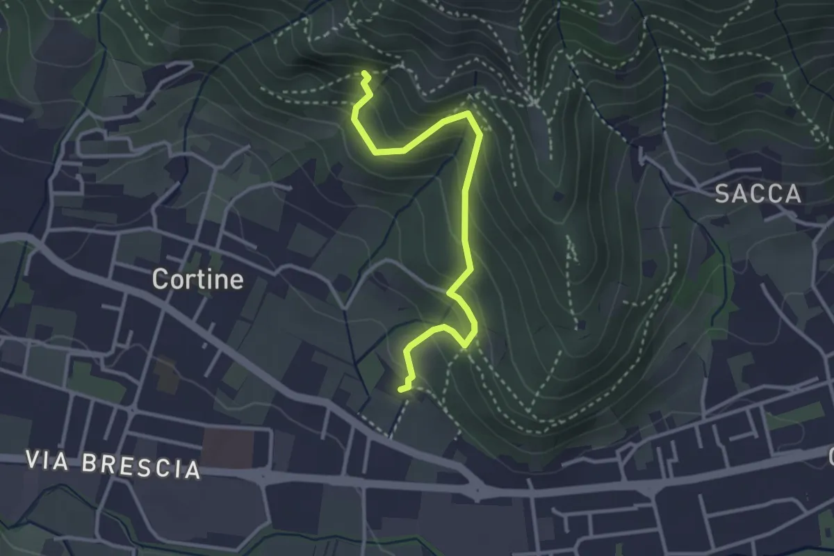
Easy · Trail
Sentiero del Marrone (Variante Nave)
3.1 km · ↑ 314 m · 1 h 25 min · 10 km away
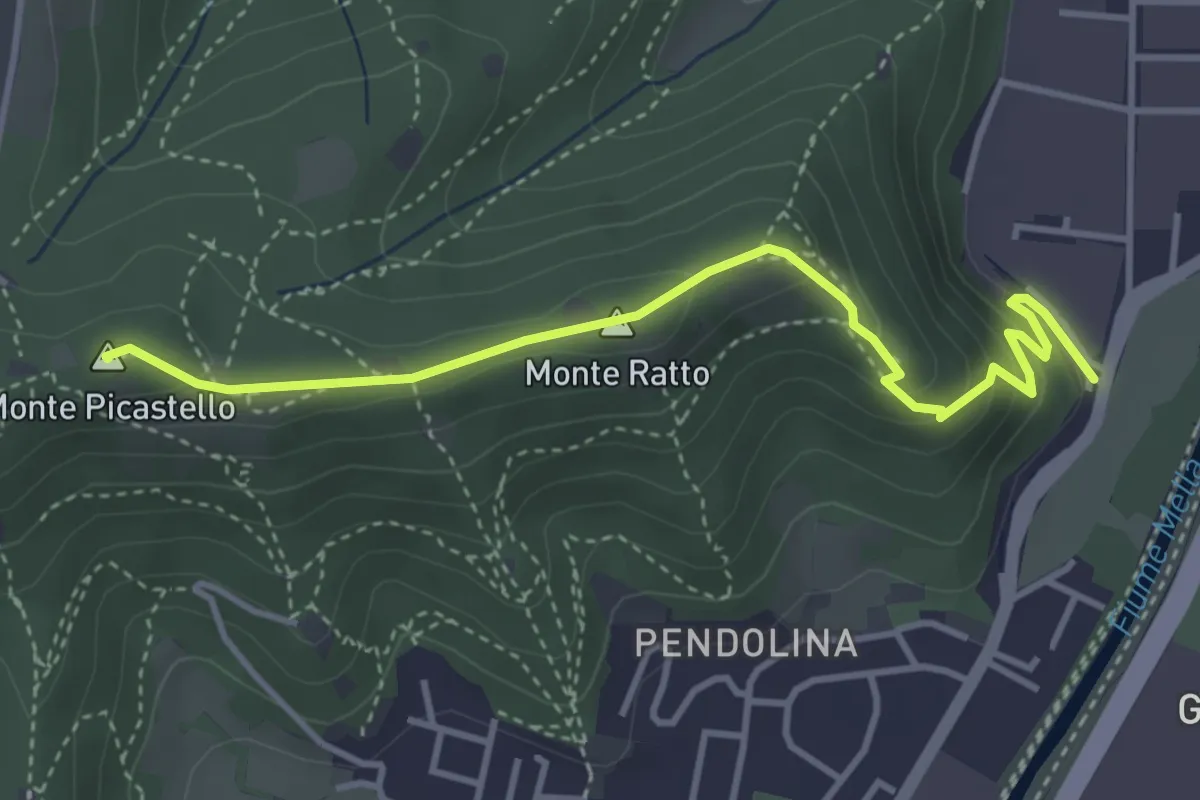
Medium · Summit
Collebeato (Via Roma) – Monte Picastello
4.1 km · ↑ 191 m · 1 h 24 min · 10 km away
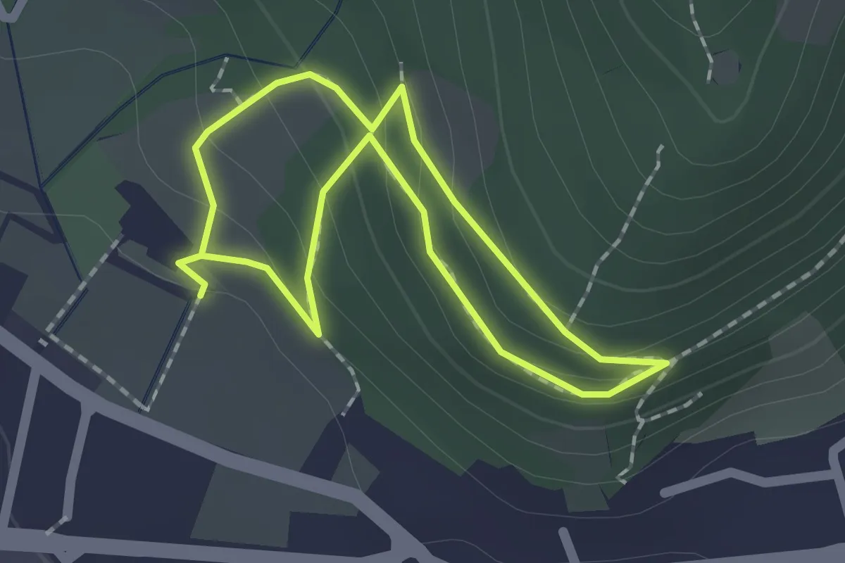
Easy · Trail
Sentiero Zanardelli percorso alto
1.5 km · ↑ 68 m · 32 min · 10 km away
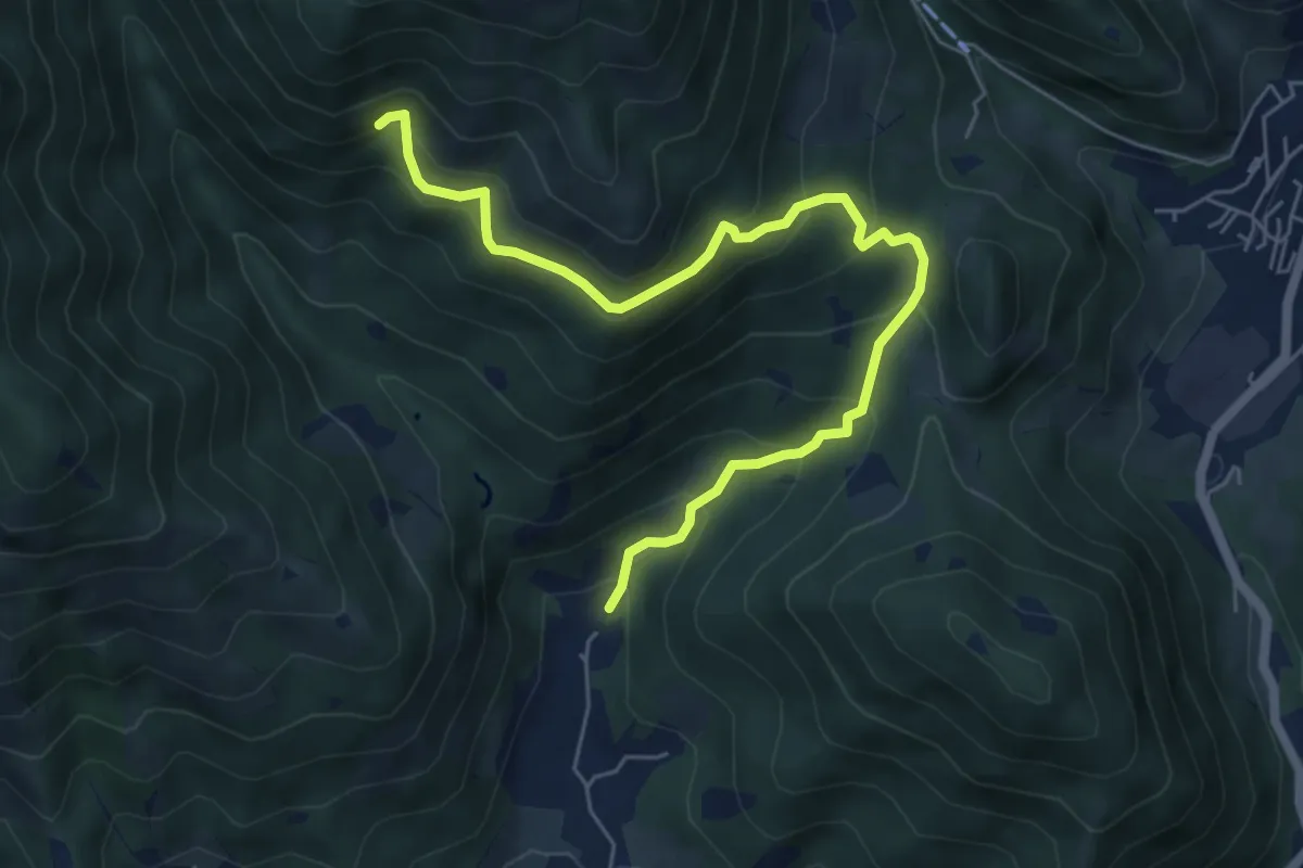
Medium · Trail
Nave (Piezze) - Sant'Antonio - Innesto Sentiero 354
6.7 km · ↑ 527 m · 2 h 44 min · 10 km away
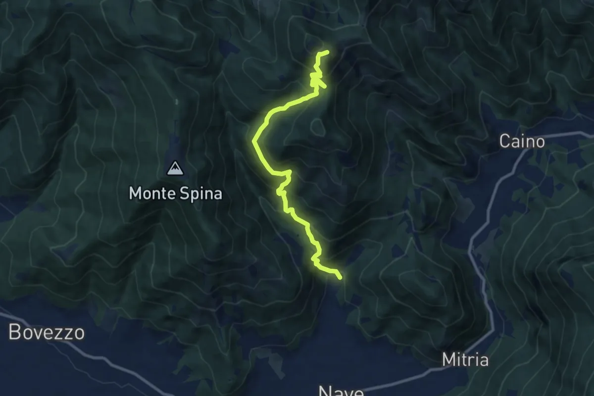
Demanding · Summit
Nave (Piezze) - Santuario di Conche
9.1 km · ↑ 901 m · 4 h 6 min · 10 km away
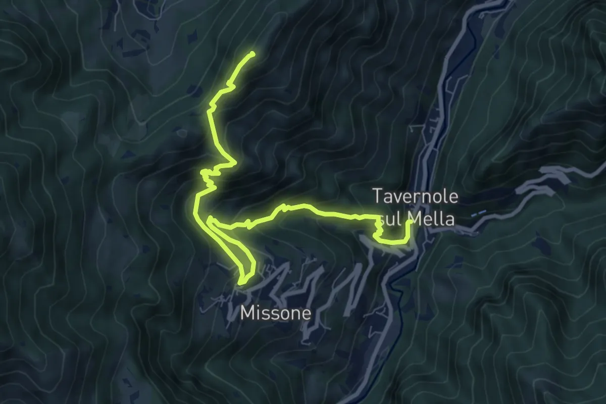
Demanding · Summit
Sentiero 1 (Monte Pergua)
9.5 km · ↑ 818 m · 4 h 1 min · 10 km away
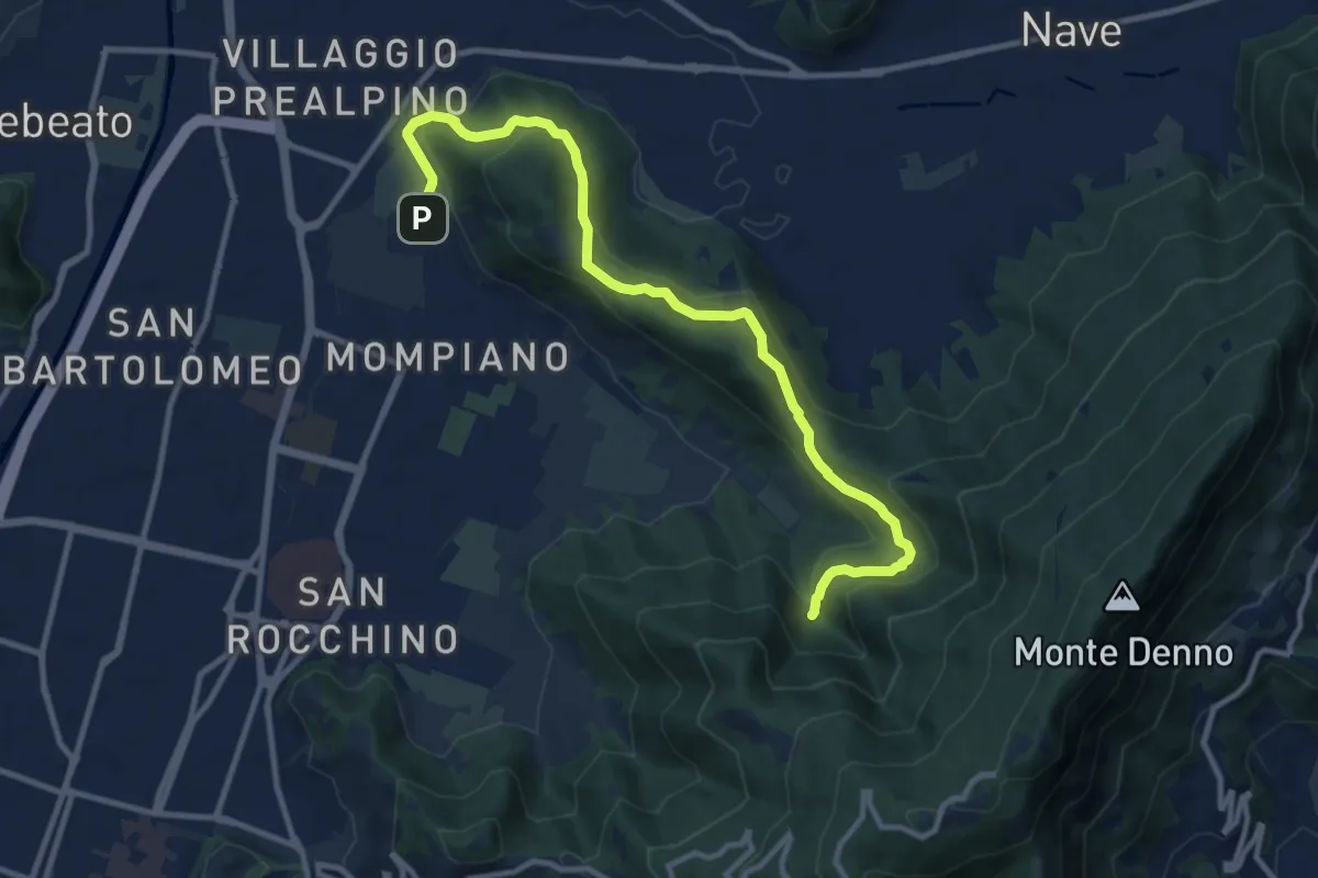
Medium · Cabin
Brescia (Via San Cristoforo) – Rifugio Valle di Mompiano
12.0 km · ↑ 345 m · 3 h 35 min · 10 km away
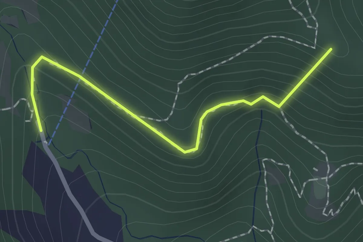
Easy · Summit
Sentiero dei Papi
1.7 km · ↑ 130 m · 42 min · 10 km away
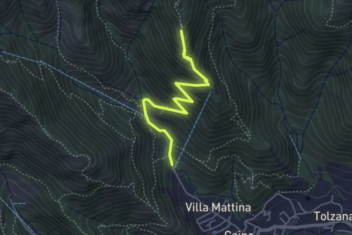
Medium · Summit
Caino (Pian delle Castagne) – Monte Doppo (Innesto Sentiero 381)
4.1 km · ↑ 407 m · 1 h 50 min · 10 km away
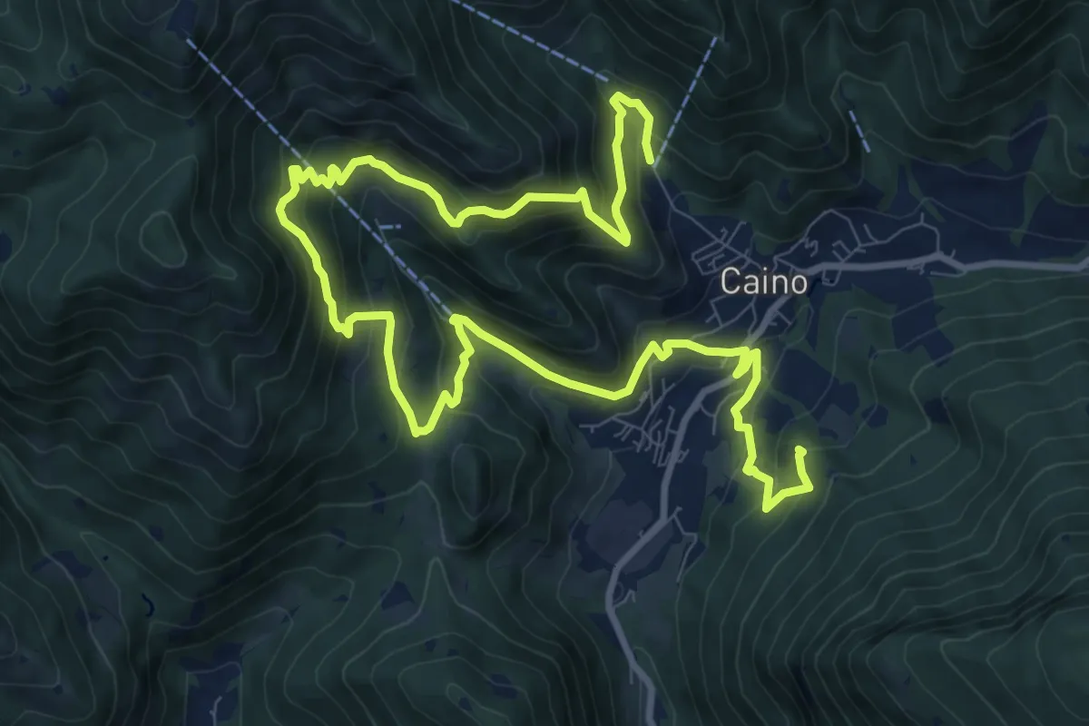
Demanding · Summit
Caino (Pian delle Castagne) – Val Bertone
15.5 km · ↑ 1050 m · 5 h 56 min · 10 km away
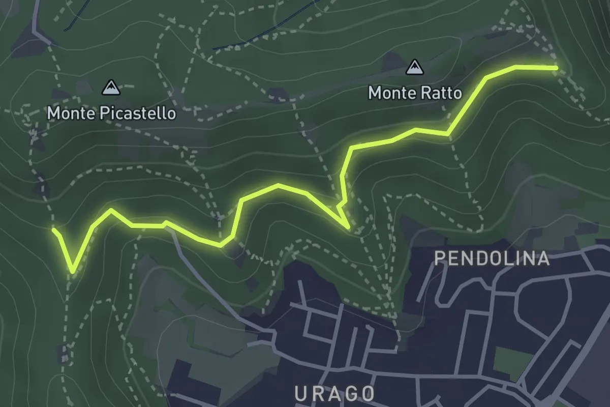
Easy · Trail
Brescia (Valle Bresciana - Innesto Sentiero 218) – Dosso degli Olmi (Innesdto sentiero n. 217)
3.6 km · ↑ 205 m · 1 h 18 min · 10 km away
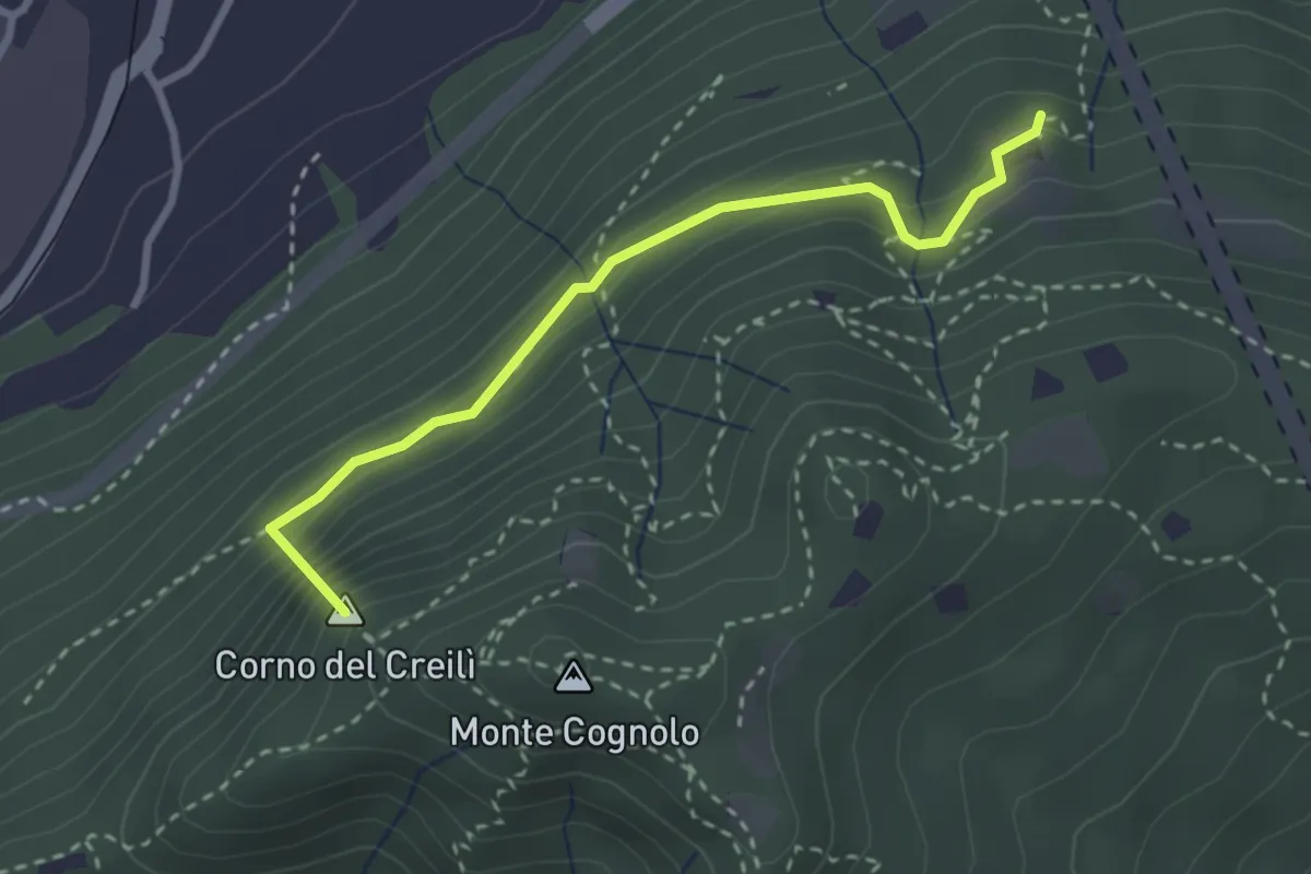
Easy · Summit
Senterù - Sentiero delle Terre Rosse
2.9 km · ↑ 284 m · 1 h 18 min · 10 km away
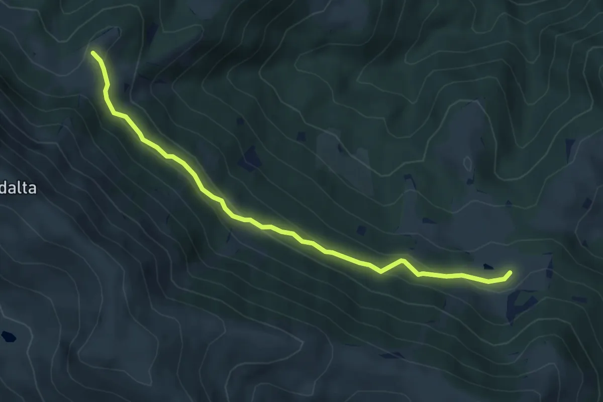
Easy · Trail
Tavernole Sul Mella (Malga Pontogna - Bivio Sentiero 325) – Malga Gale (Bivio Sentiero 393 3V)
5.4 km · ↑ 222 m · 1 h 46 min · 11 km away
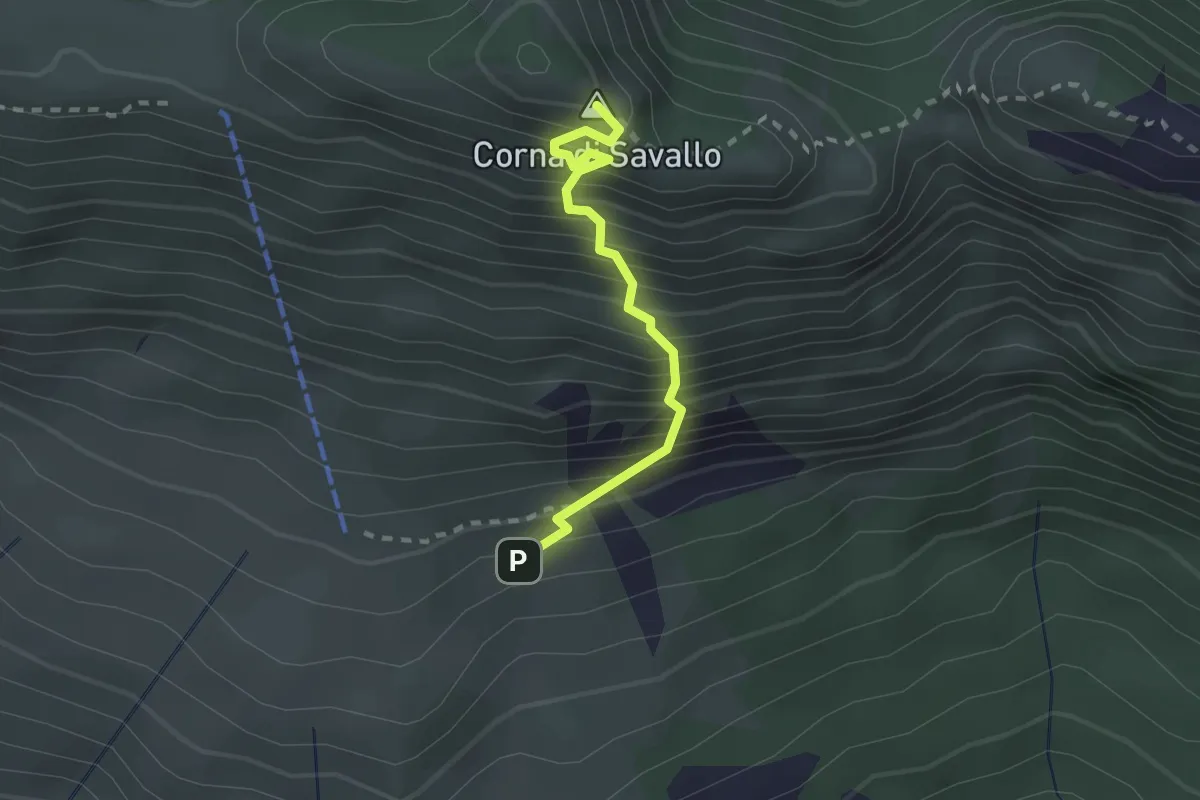
Medium · Summit
Sentiero Attrezzato Ferrata Nasego
2.1 km · ↑ 412 m · 1 h 23 min · 11 km away
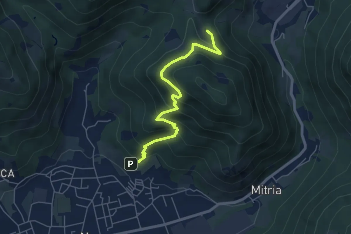
Medium · Trail
Sentiero delle miniere
4.9 km · ↑ 425 m · 2 h 5 min · 11 km away
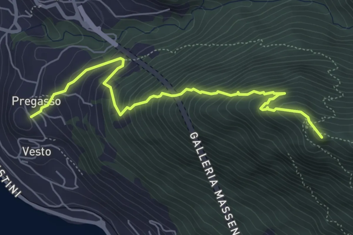
Demanding · Summit
Pregasso – Punta dei Dossi
5.8 km · ↑ 629 m · 2 h 43 min · 11 km away
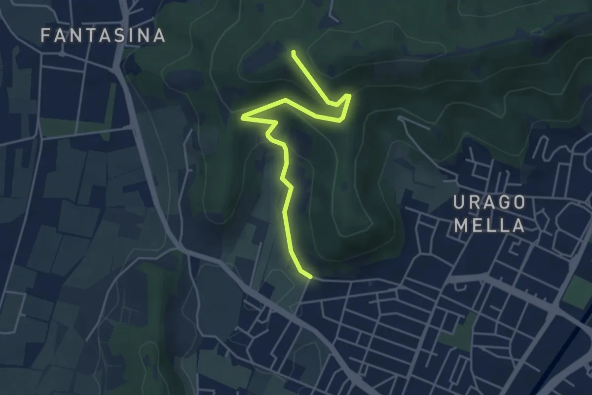
Easy · Trail
Brescia (Via Valle Bresciana) – Passo delle Crosette (Innesto Sentiero 3V)
4.0 km · ↑ 204 m · 1 h 24 min · 11 km away
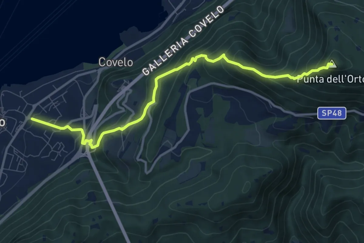
Medium · Summit
Iseo – Punta dell'Orto
9.6 km · ↑ 800 m · 4 h · 11 km away
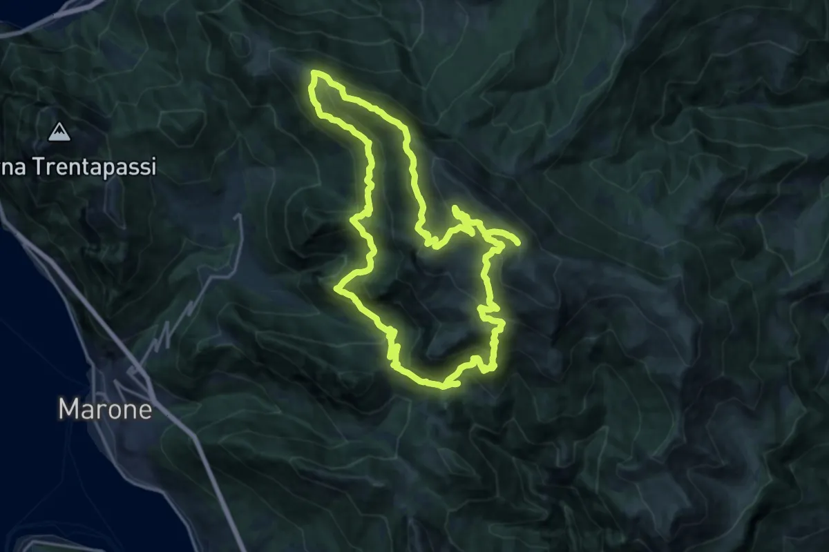
Demanding · Summit
Malghe in Rete - Anello 2 - Monte Guglielmo
18.2 km · ↑ 1257 m · 7 h 16 min · 11 km away
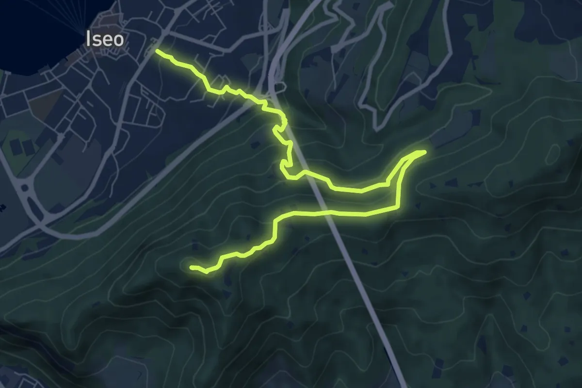
Medium · Summit
Giro delle Culme
9.9 km · ↑ 516 m · 3 h 28 min · 11 km away
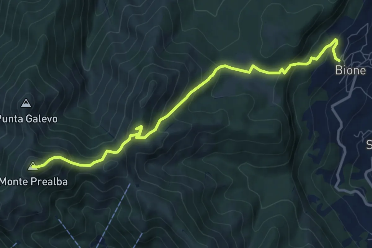
Medium · Summit
Bione (Pieve) - Eremo di San Vigilio - Monte Prealba
8.7 km · ↑ 716 m · 3 h 36 min · 11 km away
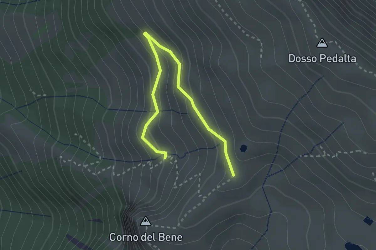
Easy · Cabin
Sentiero del Monte Guglielmo
2.8 km · ↑ 189 m · 1 h 4 min · 11 km away
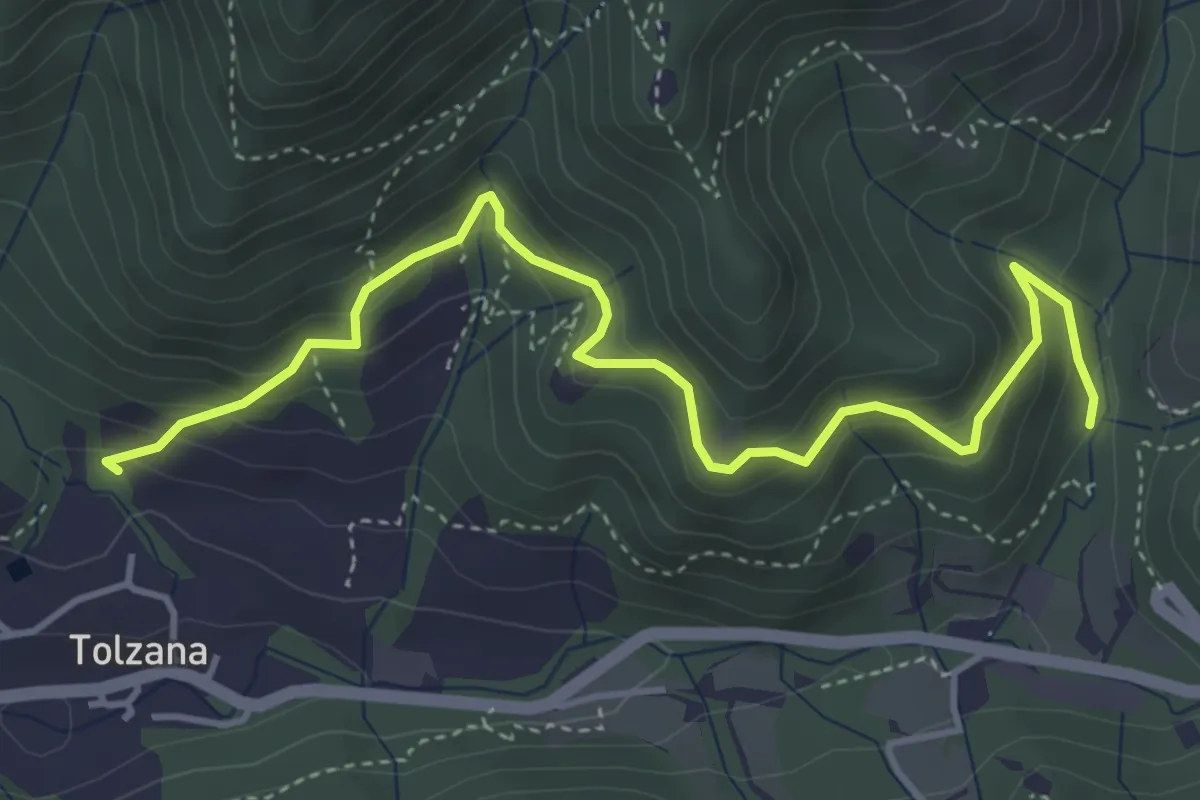
Medium · Trail
Caino (San Cap) – Val Bertone
4.9 km · ↑ 452 m · 2 h 9 min · 11 km away
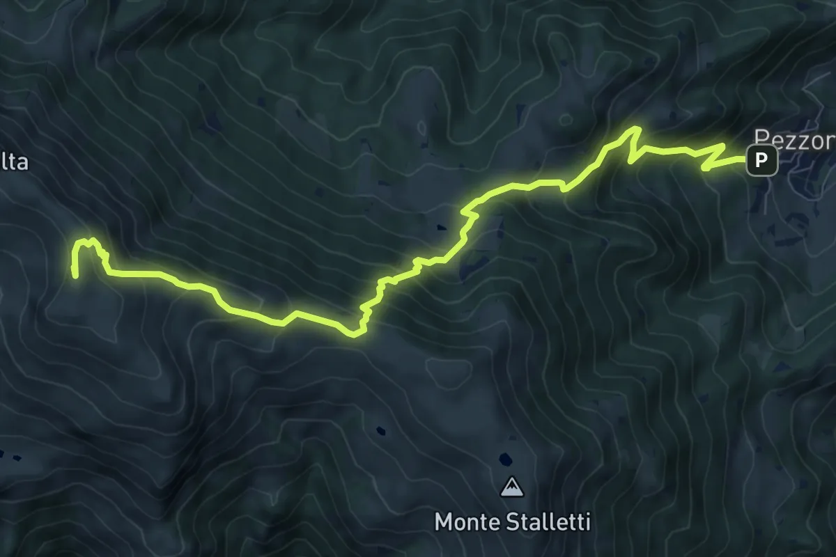
Demanding · Summit
Tavernole sul Mella (Pezzoro) – Monte Guglielmo
11.0 km · ↑ 1020 m · 4 h 48 min · 11 km away
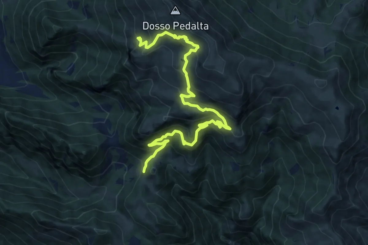
Medium · Summit
Sentiero naturalistico del Sebino
8.0 km · ↑ 356 m · 3 h 1 min · 11 km away
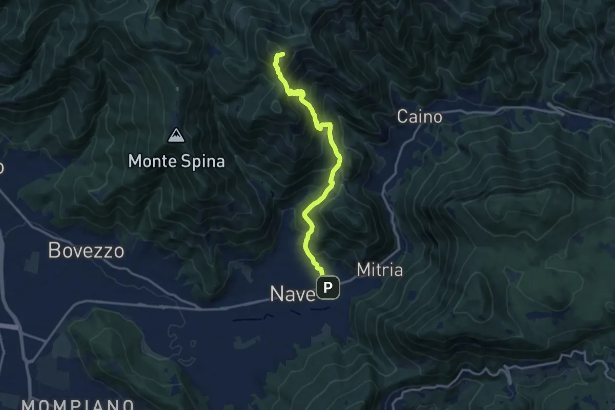
Demanding · Summit
Sentiero 3V - Tappa 1b
11.1 km · ↑ 932 m · 4 h 39 min · 11 km away
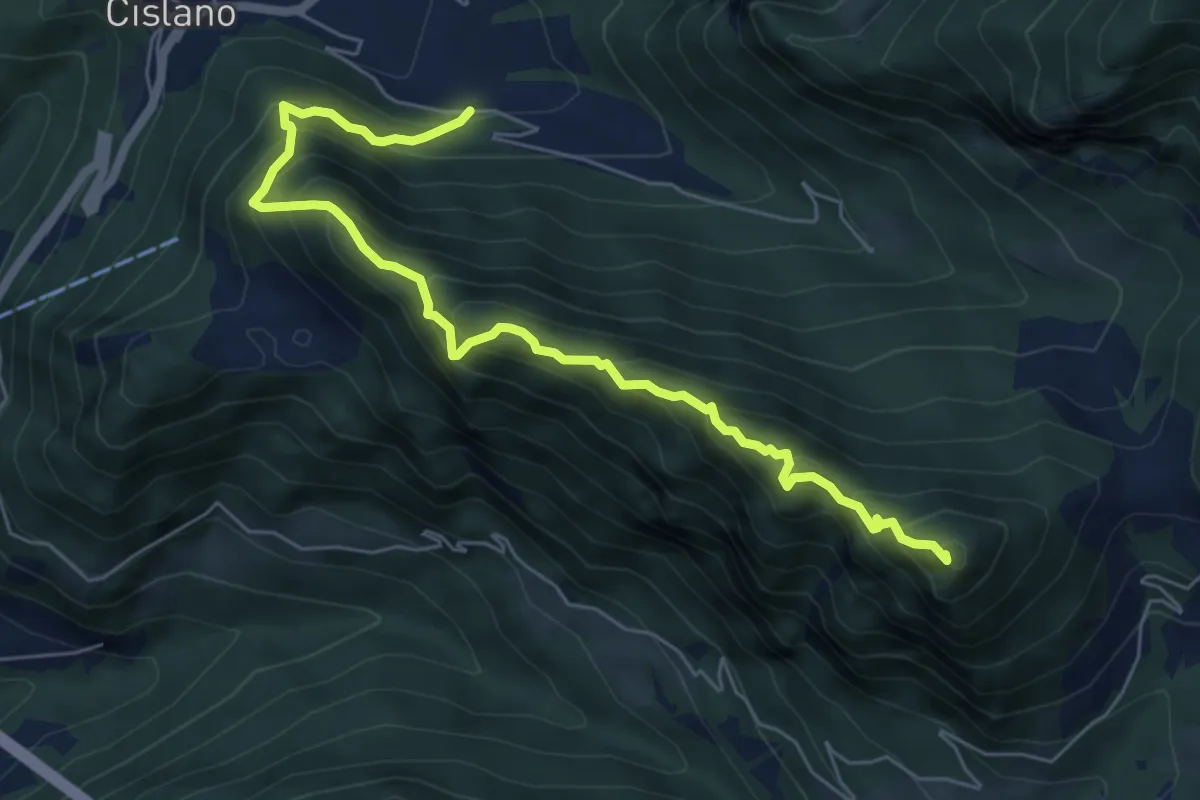
Medium · Summit
Sentiero di Monte Pura
6.9 km · ↑ 733 m · 3 h 13 min · 11 km away
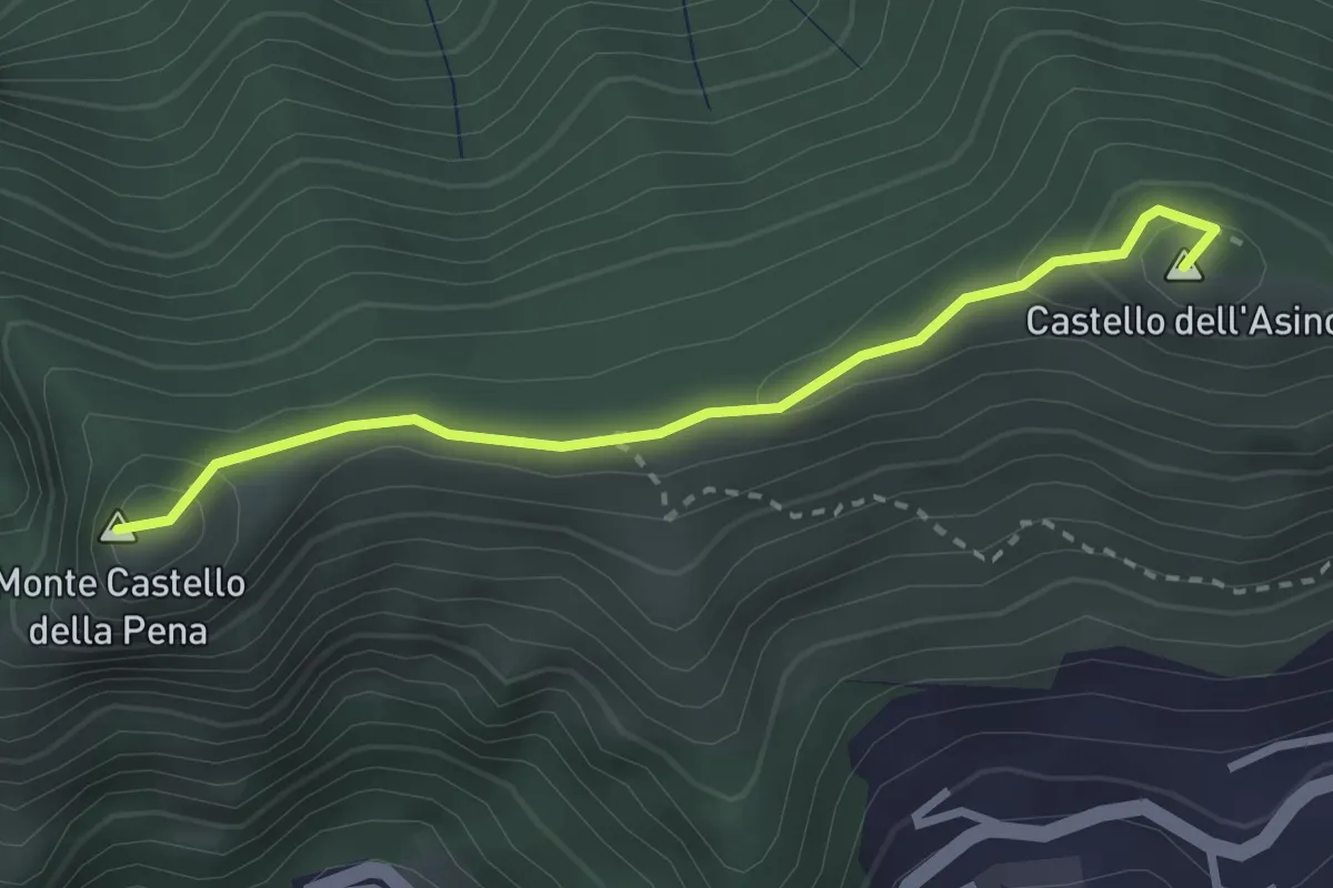
Medium · Summit
Marmentino - Monte Castello della Pena
2.7 km · ↑ 143 m · 57 min · 11 km away
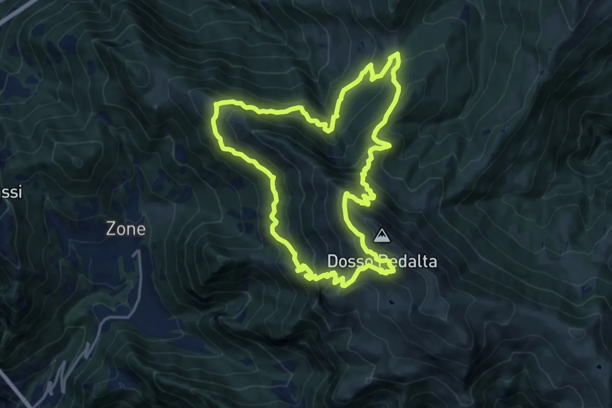
Demanding · Summit
Malghe in Rete - Anello 4 - Punta Caravina
13.5 km · ↑ 1036 m · 5 h 37 min · 11 km away
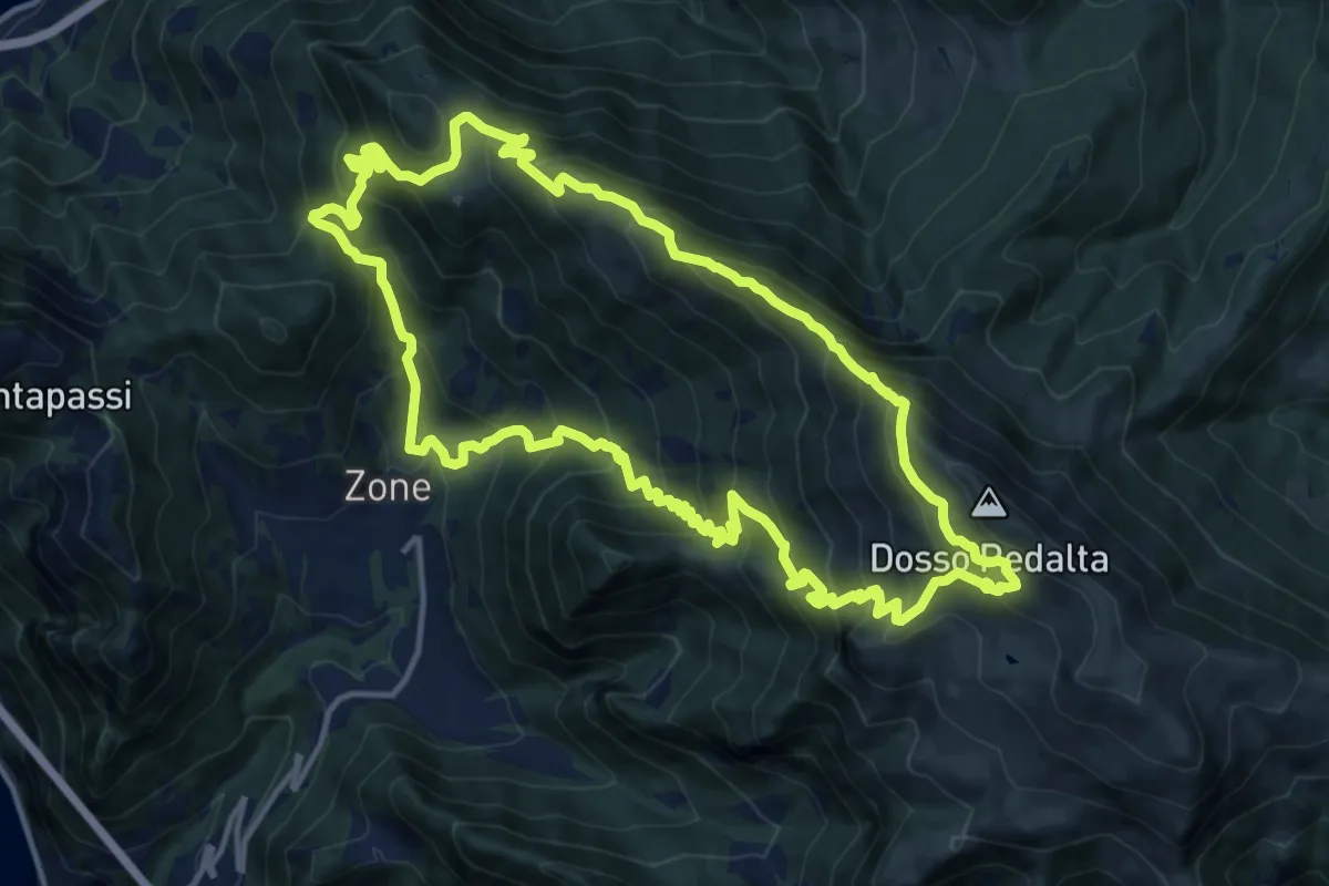
Demanding · Summit
Malghe in Rete - Anello 3 - Tredici Piante
15.1 km · ↑ 1310 m · 6 h 36 min · 11 km away
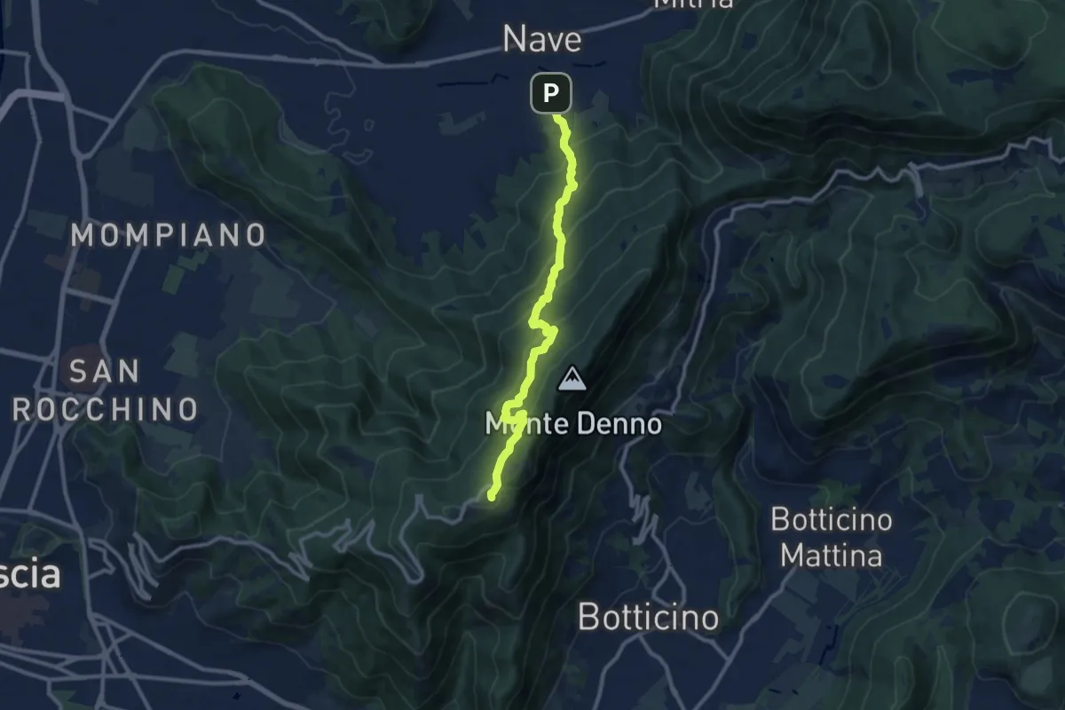
Medium · Trail
Nave (Via Piedimonte) – Chiesetta Monte Maddalena
10.1 km · ↑ 665 m · 3 h 49 min · 12 km away
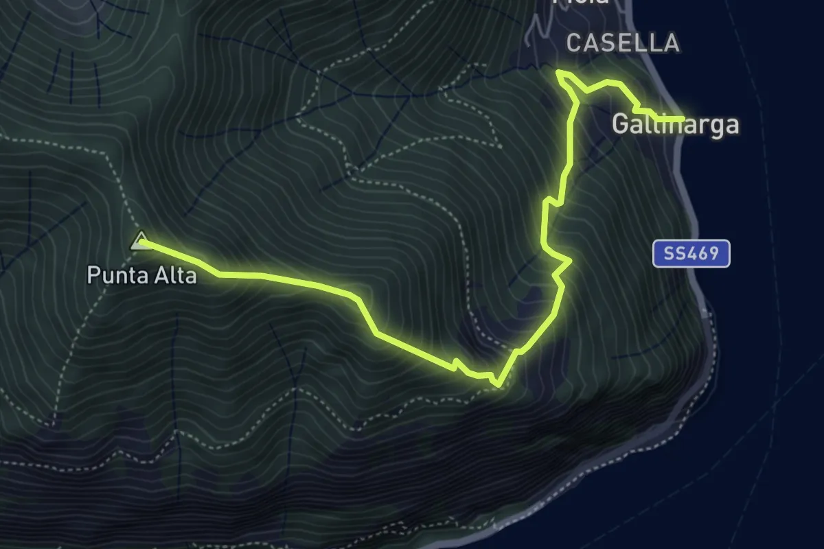
Demanding · Summit
Gallinarga – Colle del Giogo
5.9 km · ↑ 744 m · 3 h · 12 km away
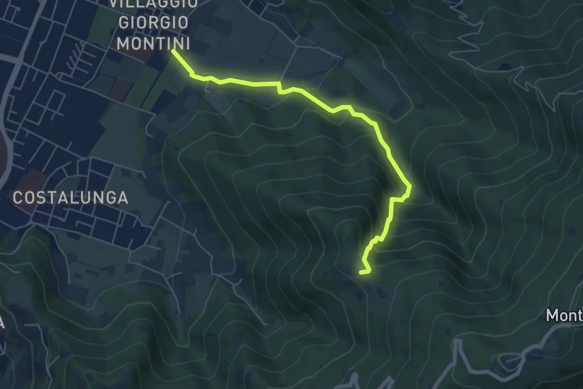
Medium · Trail
Brescia (Mompiano - Via Egidio Dabbeni) – Cascina Margherita
5.8 km · ↑ 398 m · 2 h 14 min · 12 km away
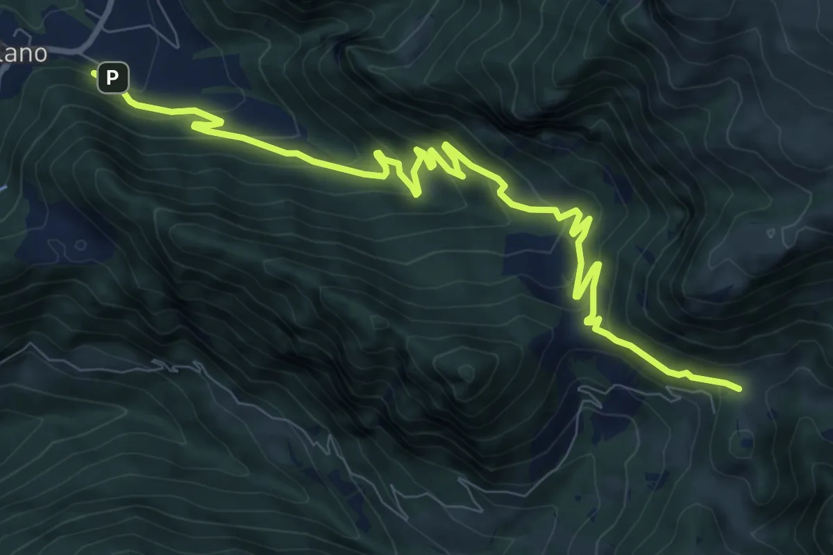
Medium · Cabin
Sentiero della Valle di Gasso
11.2 km · ↑ 592 m · 3 h 56 min · 12 km away
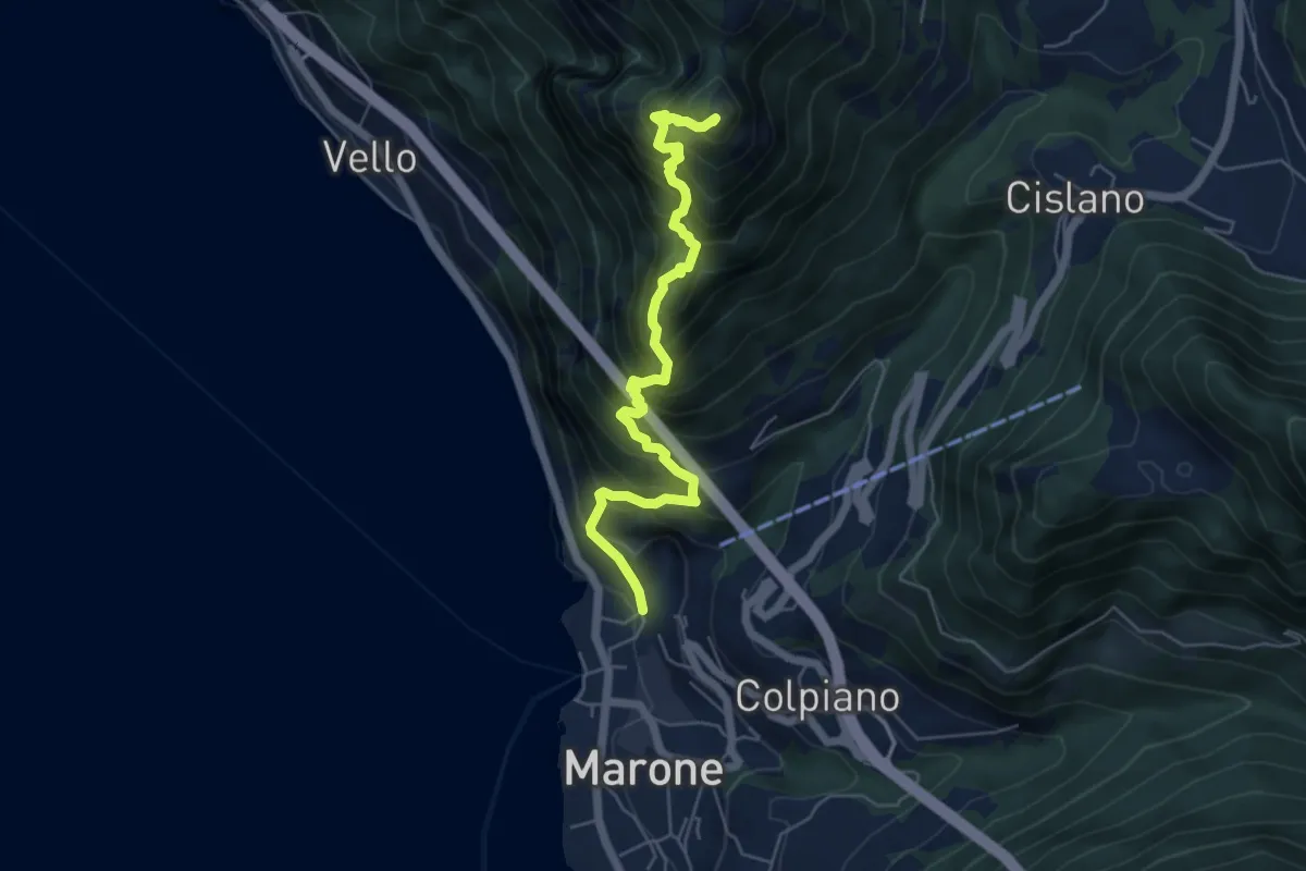
Expert · Summit
Sentiero Punta Cunicolo
5.8 km · ↑ 919 m · 3 h 22 min · 12 km away