Trails near Sarezzo
327 hikes starting within 15 km, nearest first.
Nearest first, page 6 of 7
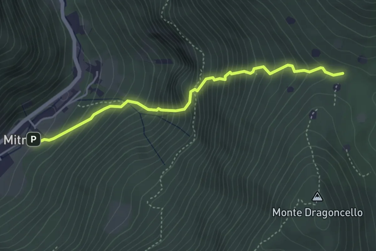
Demanding · Trail
Sentiero della dieta
4.1 km · ↑ 675 m · 2 h 26 min · 12 km away
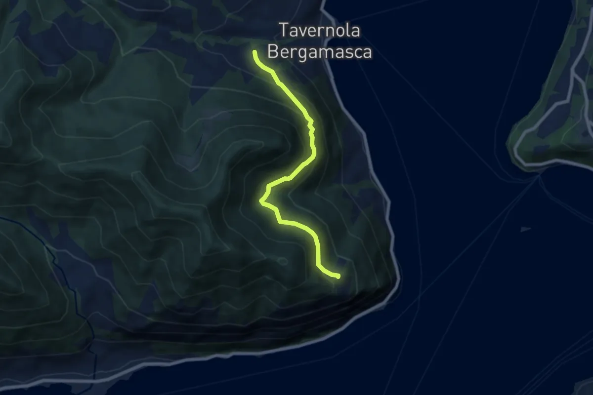
Demanding · Trail
Bianica – Case il Monte
6.1 km · ↑ 457 m · 2 h 26 min · 12 km away
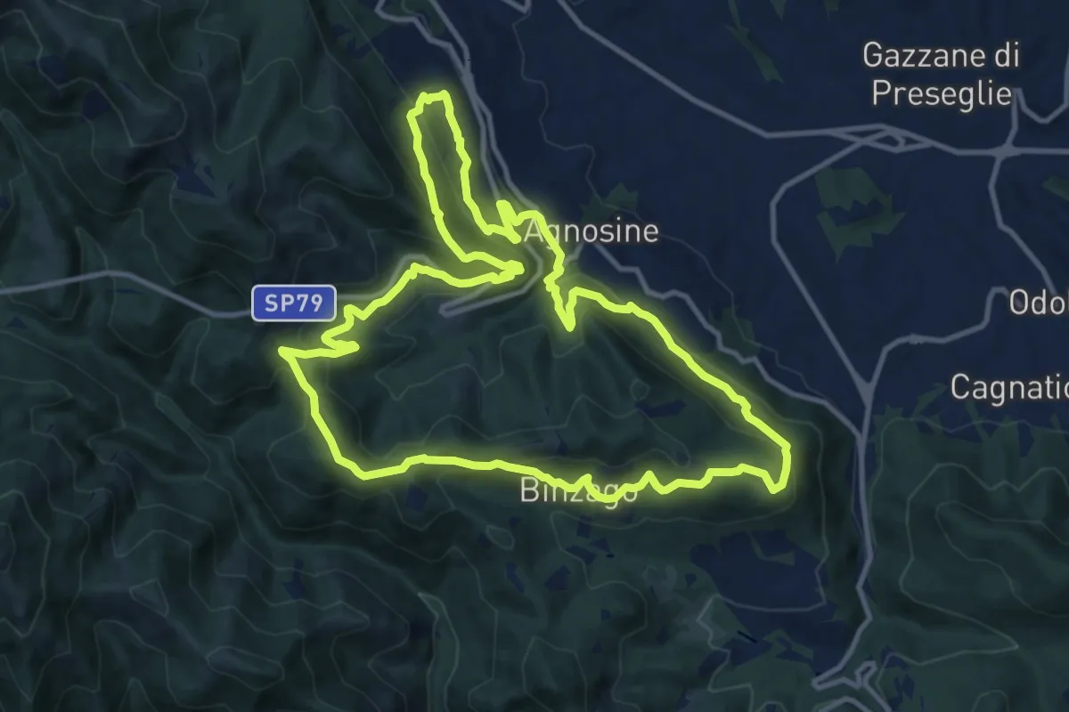
Medium · Summit
Sentiero Tranquillo Bianchi e Caduti per la Libertà di Lumezzane - Tronco A
12.3 km · ↑ 658 m · 4 h 31 min · 12 km away
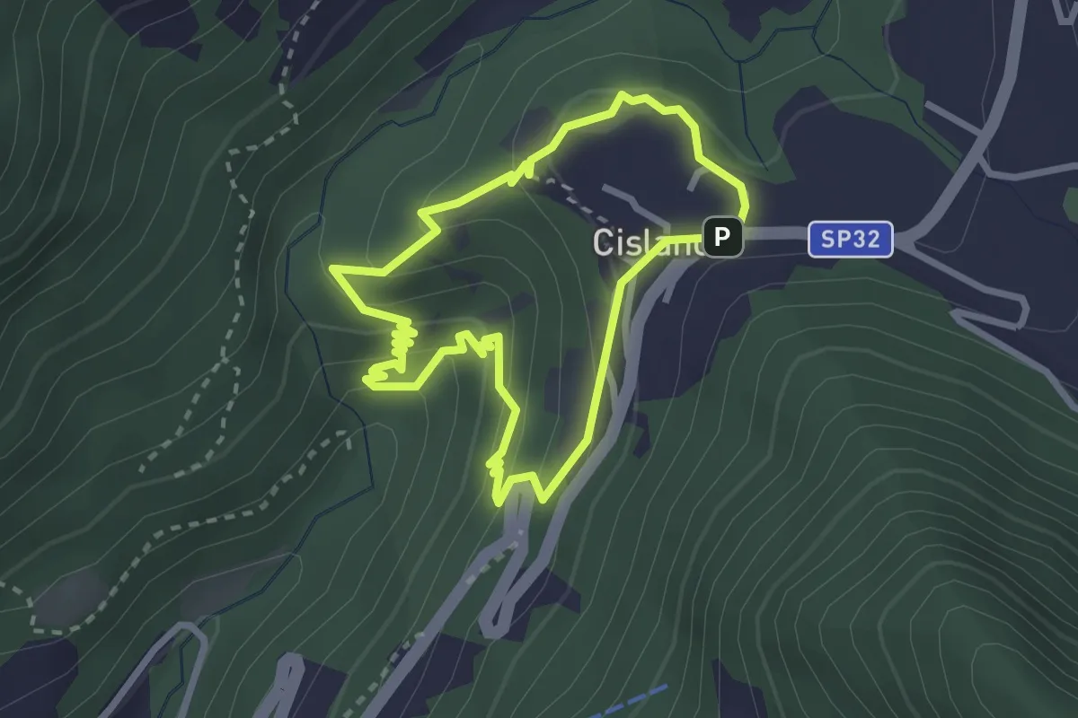
Medium · Trail
Sentiero delle Piramidi di Zone
2.4 km · ↑ 160 m · 57 min · 12 km away
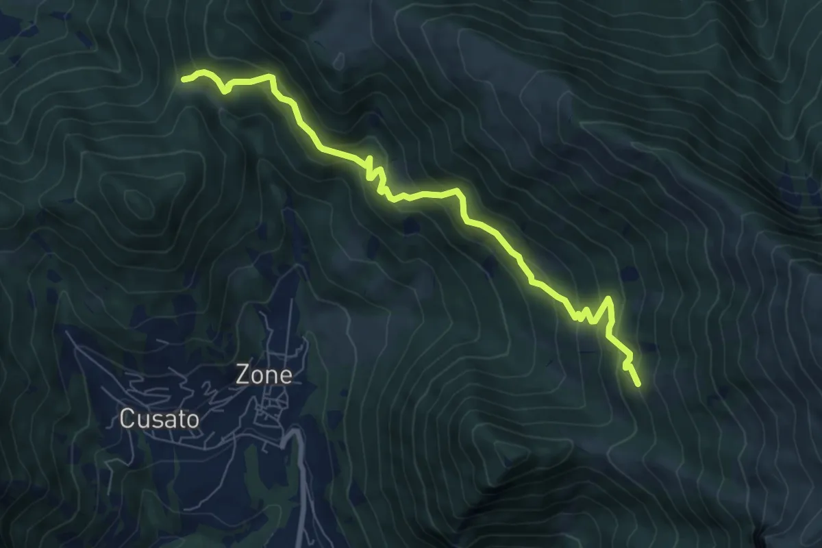
Medium · Trail
Sentiero dei Grap
7.9 km · ↑ 666 m · 3 h 19 min · 12 km away
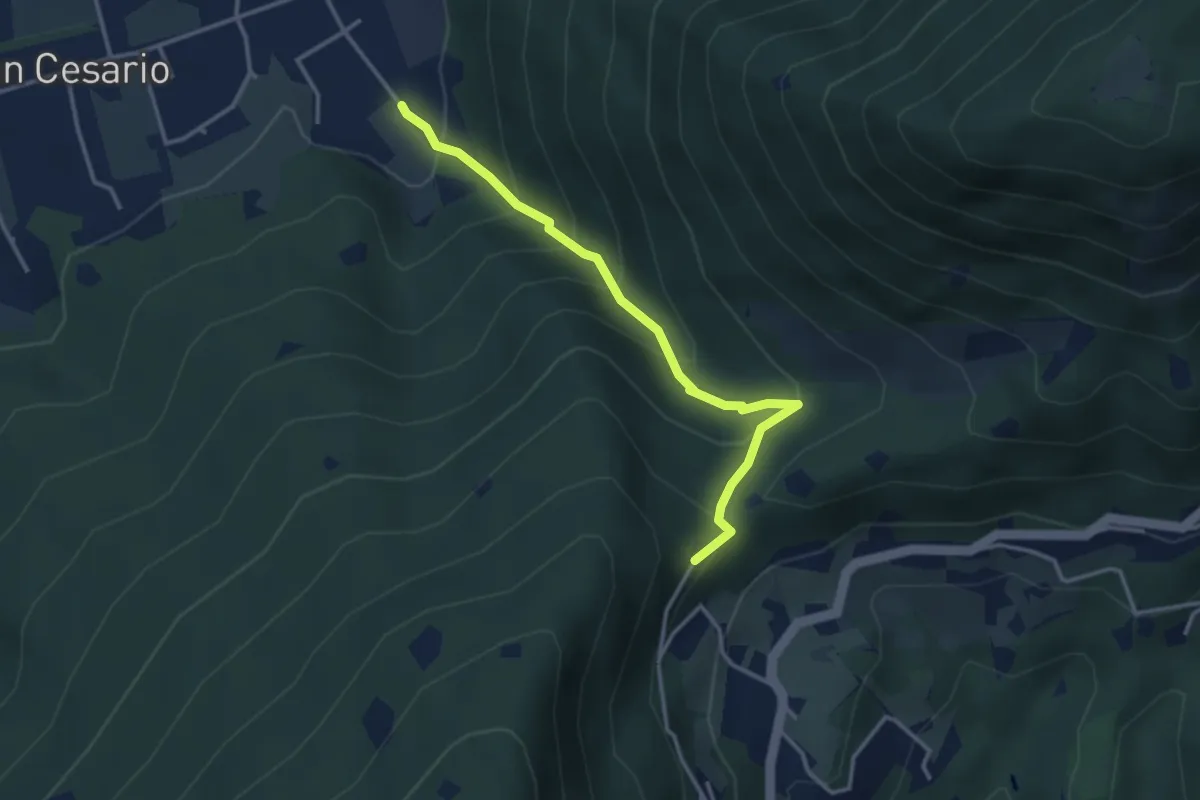
Demanding · Summit
Nave (Calasa) – Colle San Vito
3.4 km · ↑ 343 m · 1 h 32 min · 12 km away
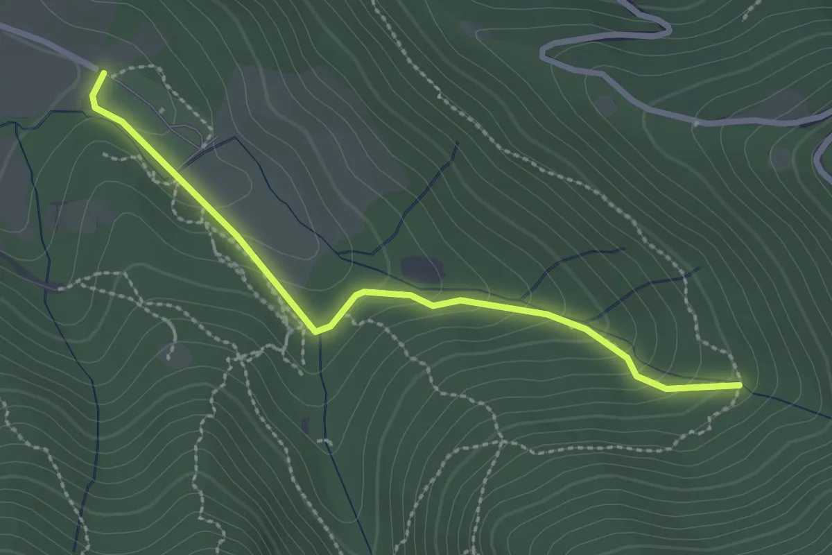
Easy · Trail
Sentiero Val Persane
2.6 km · ↑ 152 m · 57 min · 12 km away
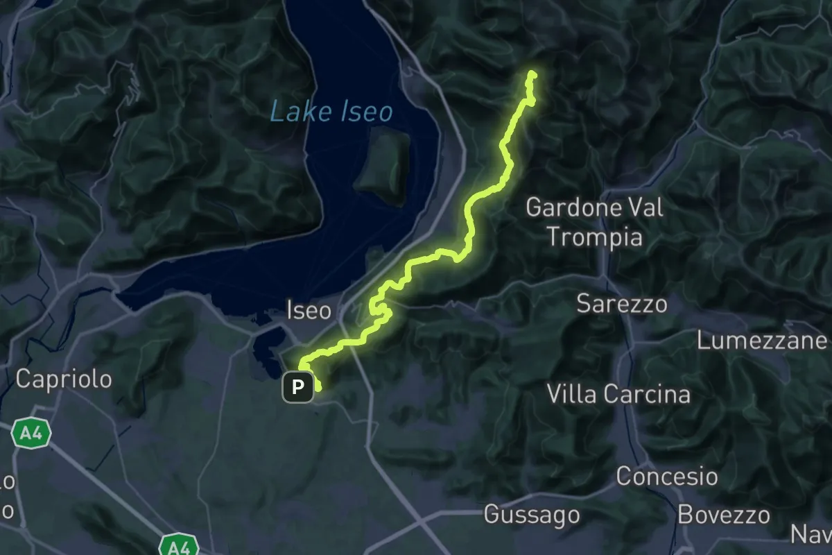
Demanding · Summit
Proai Gölem
44.7 km · ↑ 2342 m · 15 h 38 min · 12 km away
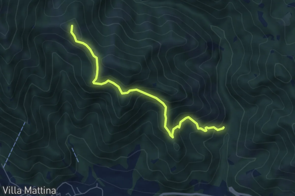
Medium · Summit
Caino (Val Bertone) – Boatica (Innesto Sentiero 381)
6.1 km · ↑ 507 m · 2 h 32 min · 12 km away
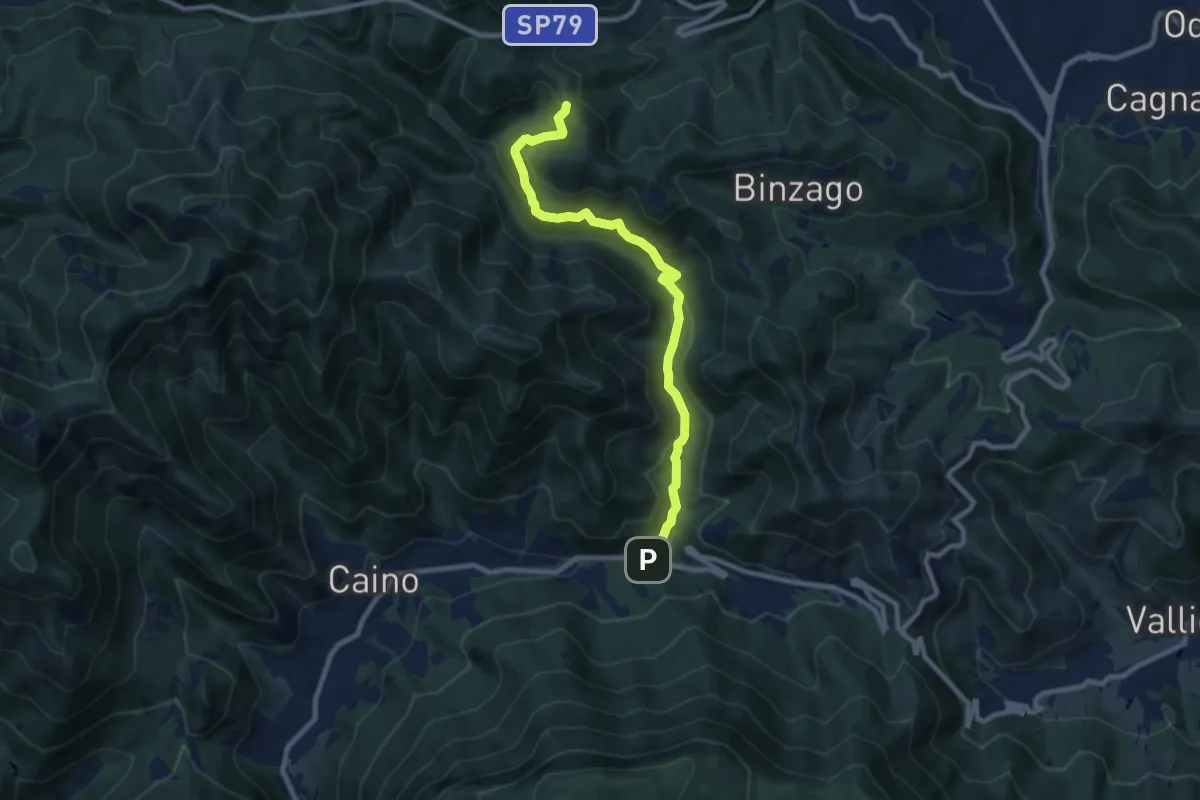
Medium · Trail
Caino (Val Bertone) – Passo Viglio
8.9 km · ↑ 525 m · 3 h 14 min · 12 km away
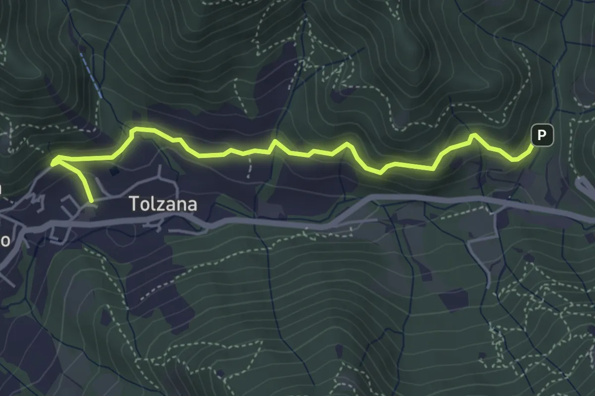
Easy · Trail
Caino – Val Bertone
4.7 km · ↑ 261 m · 1 h 41 min · 12 km away
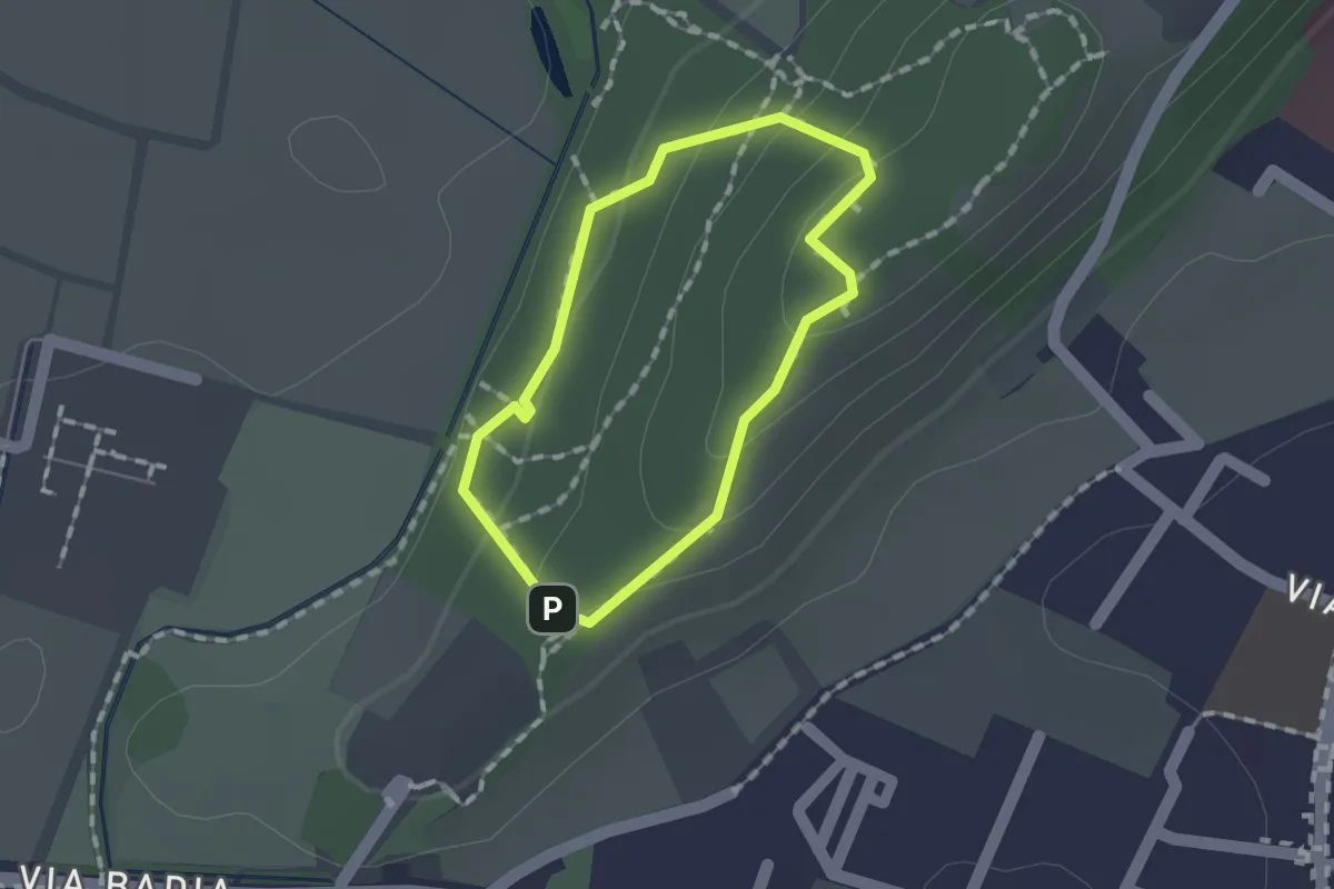
Easy · Trail
Sentiero per non vedenti (Colle di Sant'Anna)
1.1 km · ↑ 55 m · 23 min · 13 km away
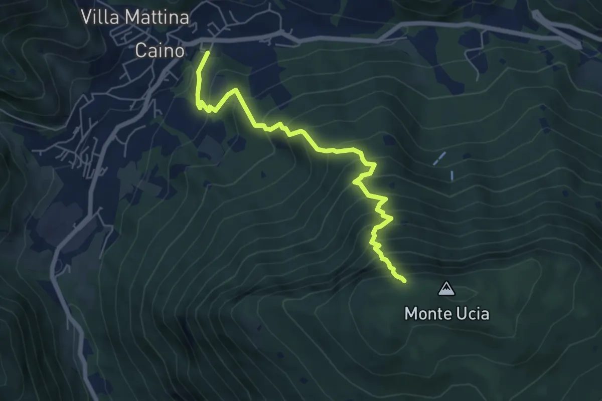
Demanding · Trail
Caino – Monte Ucia (Innesto Sentiero 391)
5.7 km · ↑ 736 m · 2 h 56 min · 13 km away
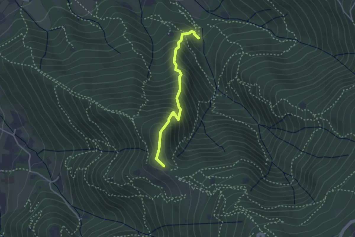
Medium · Trail
Sentiero dei Gnari
2.7 km · ↑ 330 m · 1 h 21 min · 13 km away
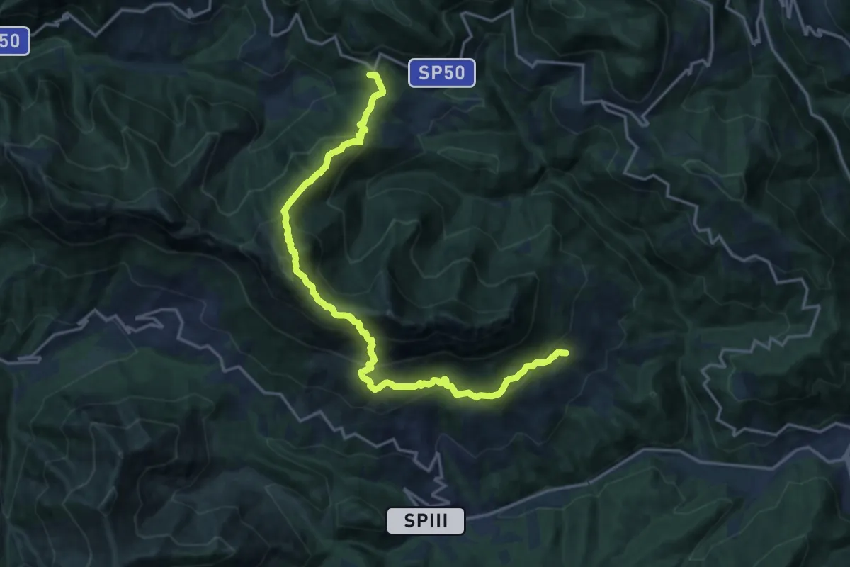
Demanding · Summit
Mura - Nasego - Passo del Termine
17.4 km · ↑ 1334 m · 7 h · 13 km away
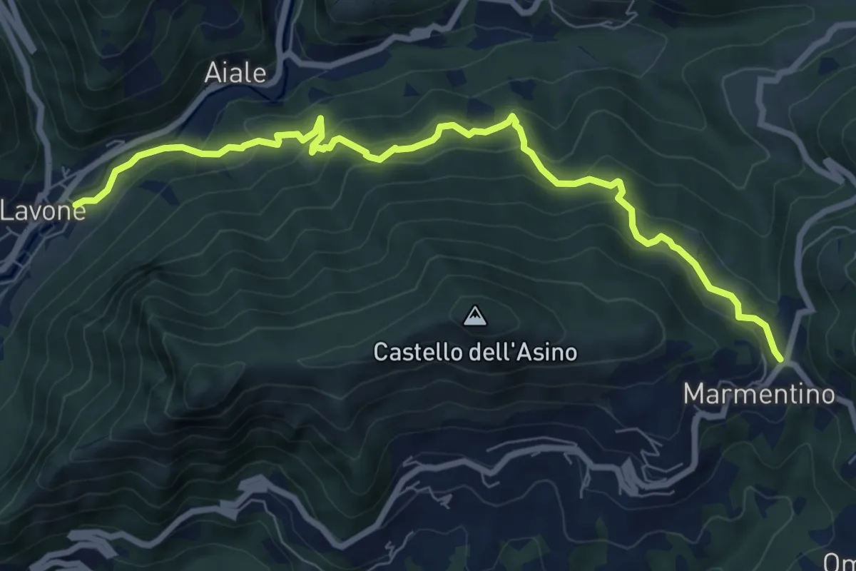
Medium · Trail
Marmentino - Lavone
8.2 km · ↑ 547 m · 3 h 8 min · 13 km away
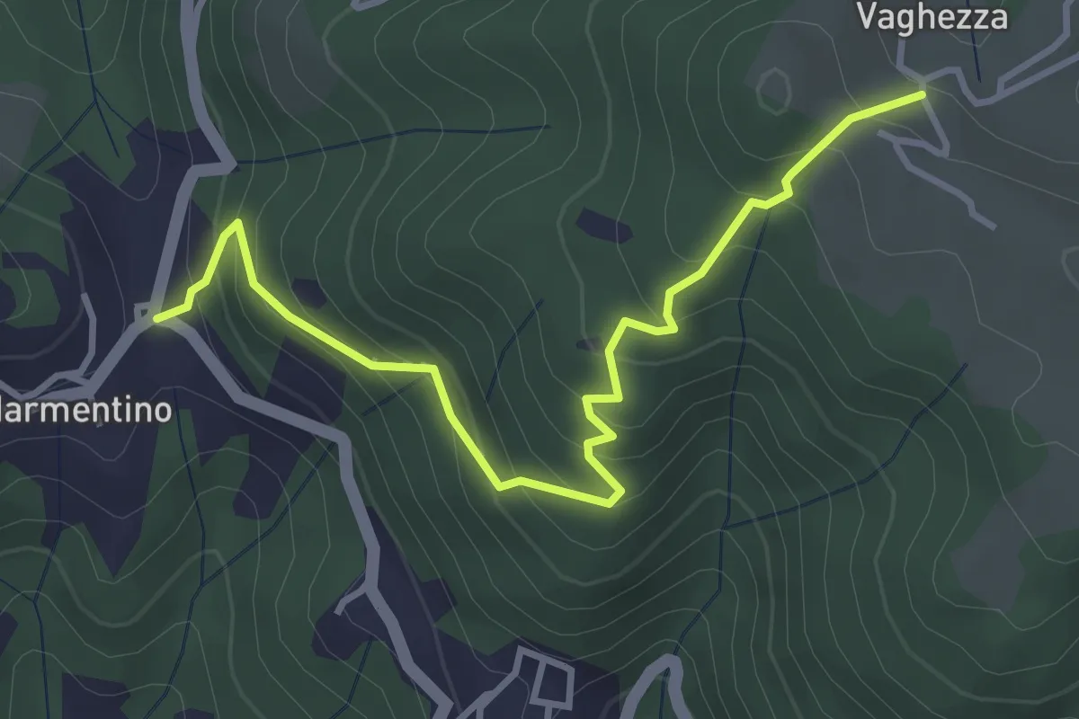
Medium · Trail
Marmentino (Dosso) - Vaghezza
3.8 km · ↑ 329 m · 1 h 36 min · 13 km away
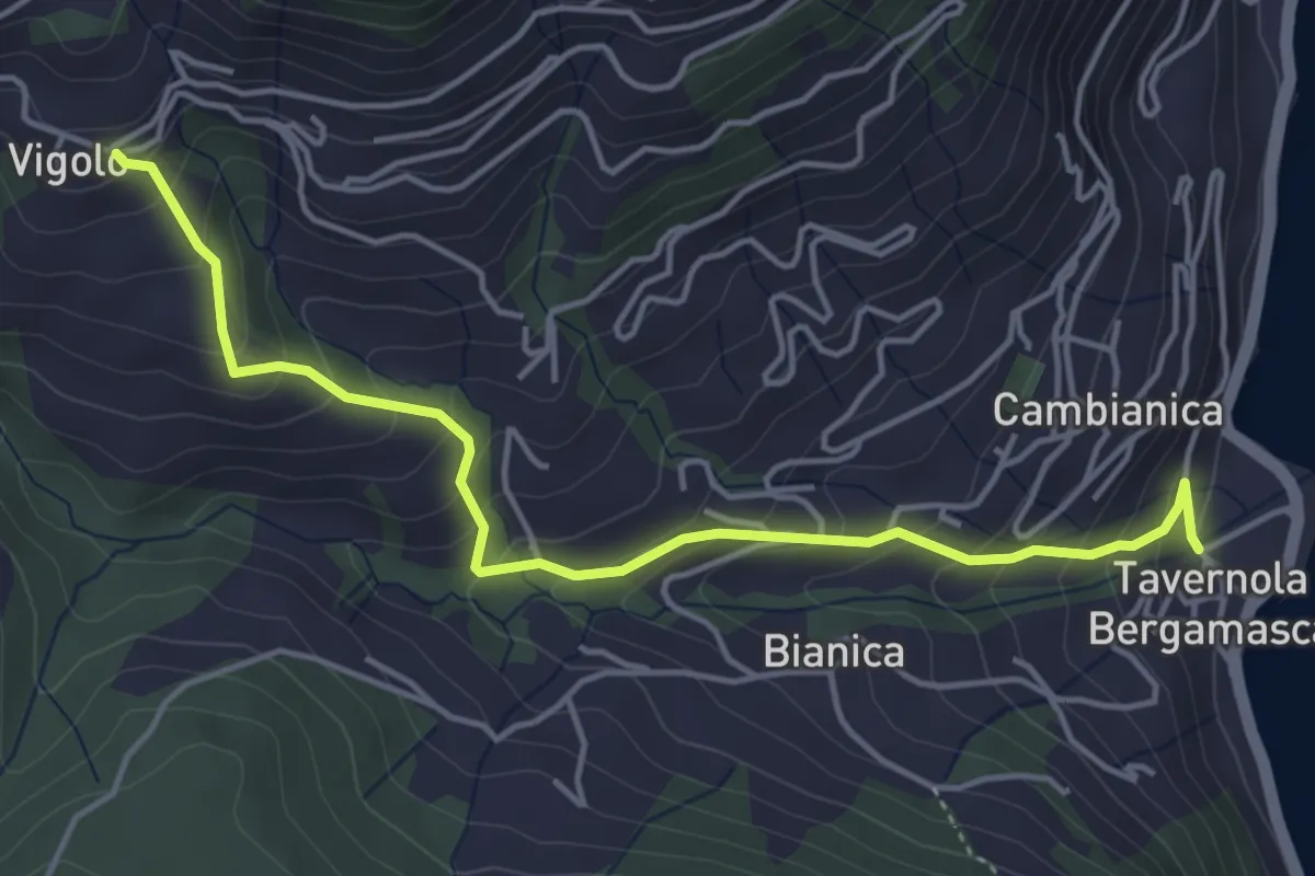
Medium · Trail
Tavernola – Vigolo
4.8 km · ↑ 407 m · 2 h 1 min · 13 km away
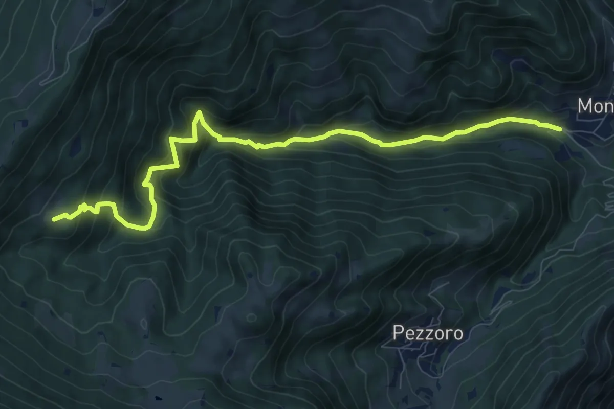
Demanding · Trail
Sentiero dei Carbonai
9.9 km · ↑ 858 m · 4 h 11 min · 13 km away
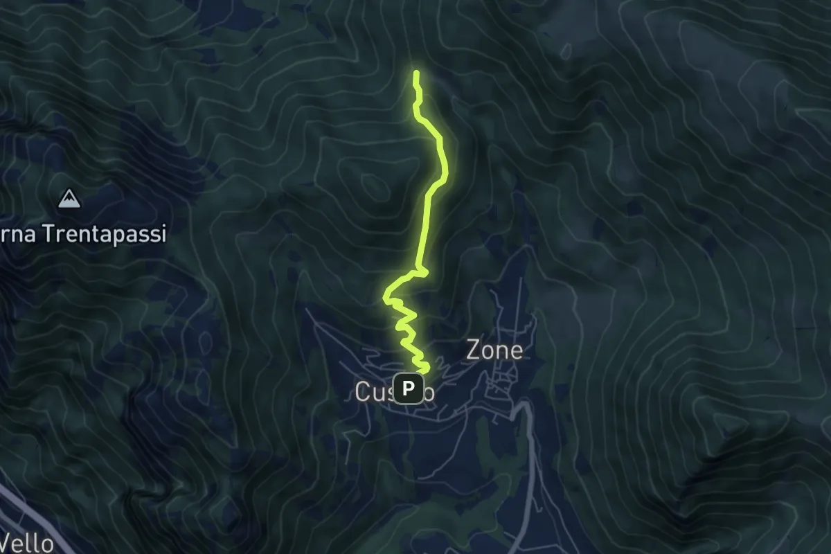
Medium · Trail
Sentiero delle Terre Rosse
5.0 km · ↑ 427 m · 2 h 6 min · 13 km away
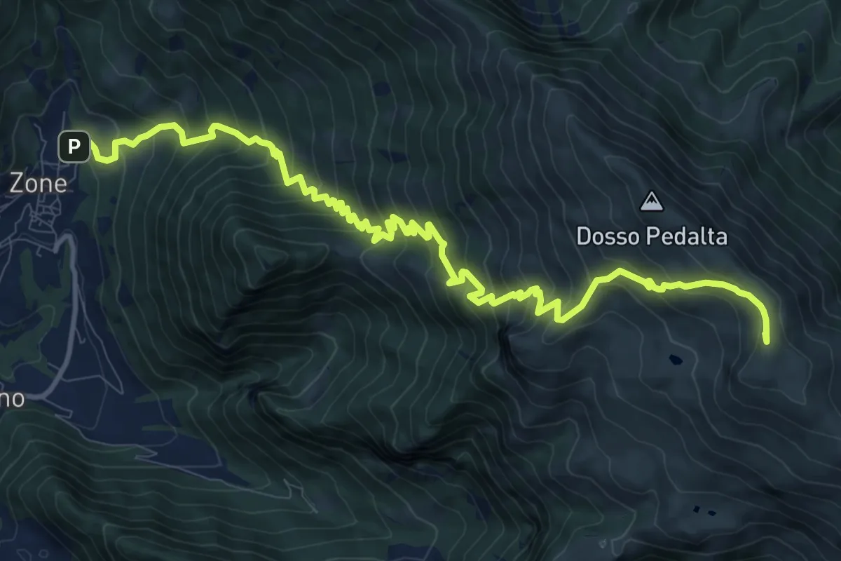
Demanding · Summit
Sentiero del Monte Guglielmo
13.9 km · ↑ 1311 m · 6 h 8 min · 13 km away
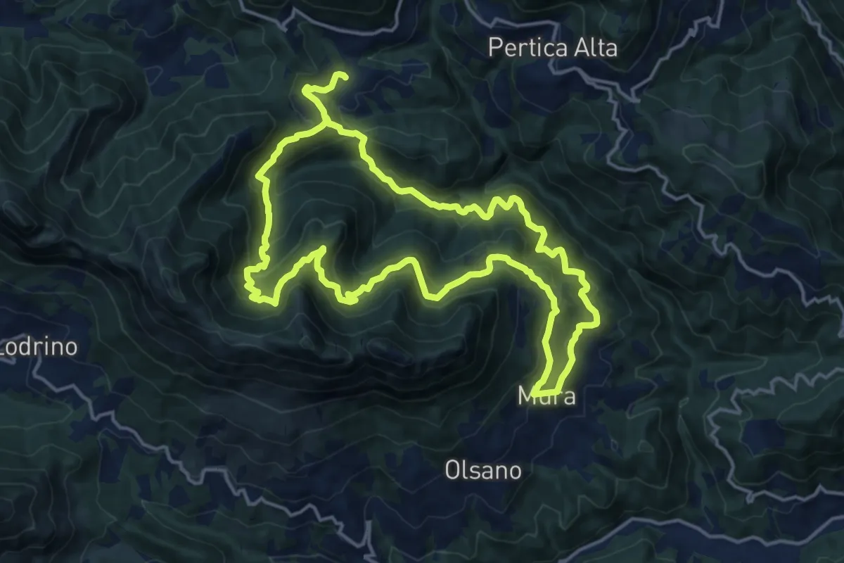
Demanding · Trail
Mura - Noffo - Nasego - Mura
14.7 km · ↑ 1109 m · 6 h 4 min · 13 km away
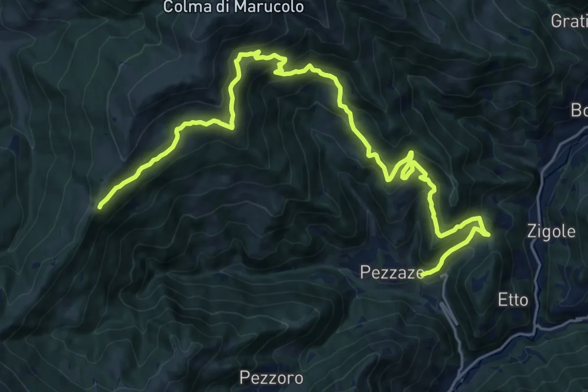
Demanding · Trail
Pezzaze (Pezzazole) – Colle di San Zeno
11.3 km · ↑ 1163 m · 4 h 56 min · 13 km away
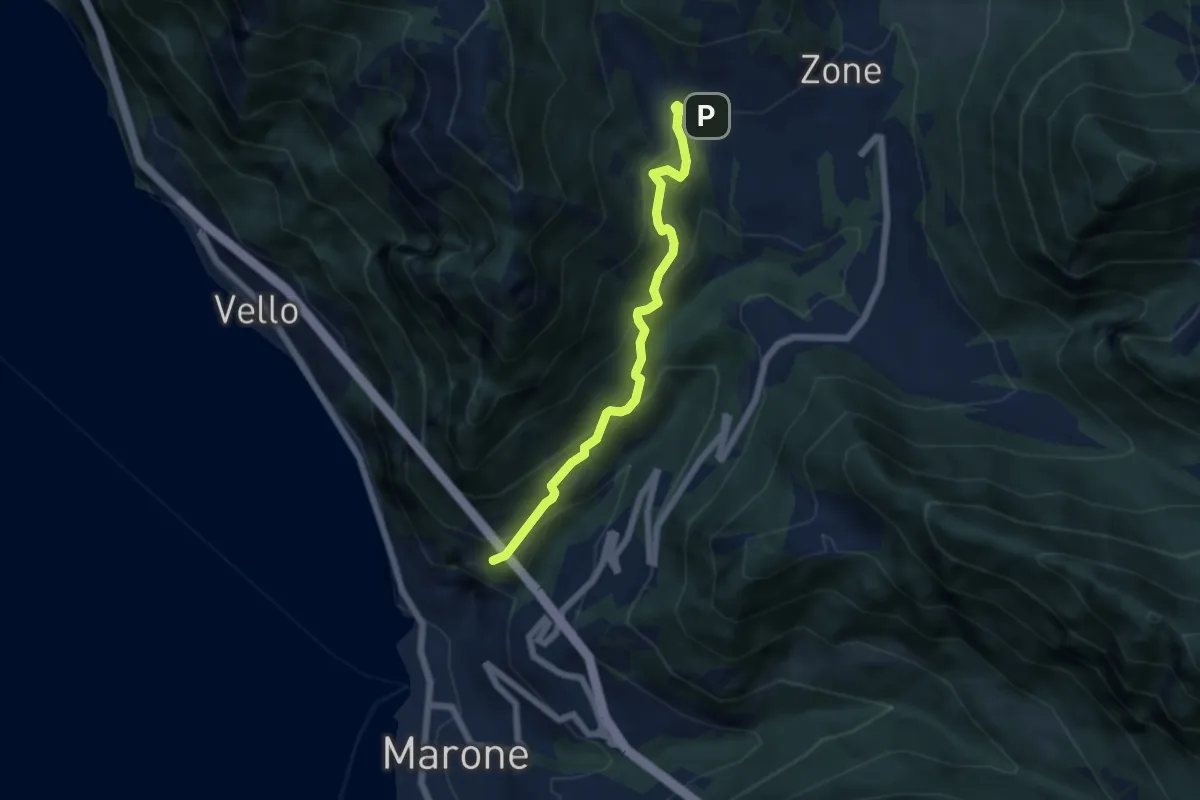
Medium · Trail
Monte Marone – Cusato
5.7 km · ↑ 428 m · 2 h 16 min · 13 km away
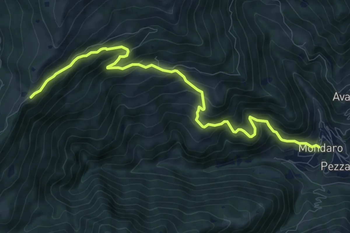
Demanding · Trail
Pezzaze (Mondaro) – Colle di San Zeno
11.4 km · ↑ 856 m · 4 h 33 min · 13 km away
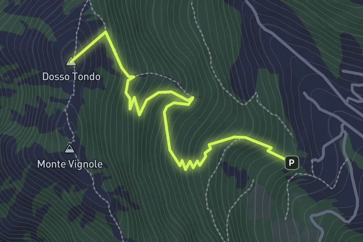
Medium · Summit
Variante Sentiero di Monte Vignole
3.2 km · ↑ 380 m · 1 h 35 min · 13 km away
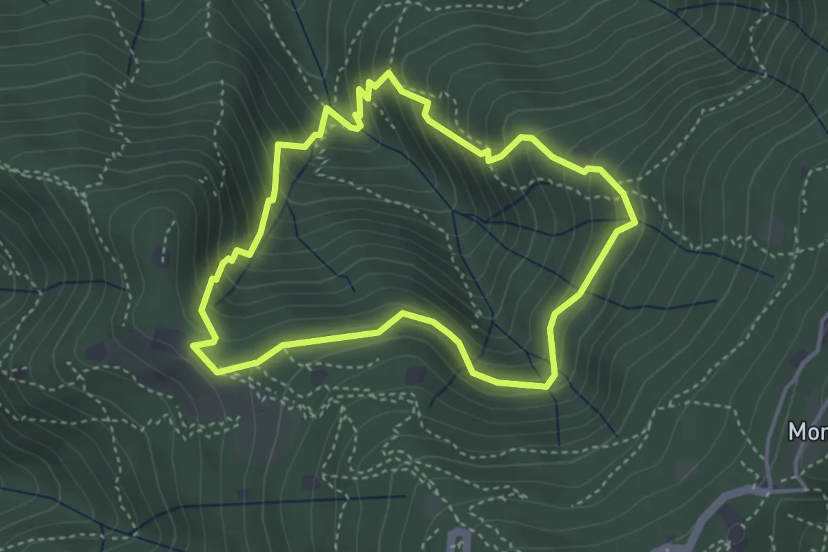
Medium · Cabin
Anello dei Brüsàcc
3.5 km · ↑ 335 m · 1 h 36 min · 13 km away
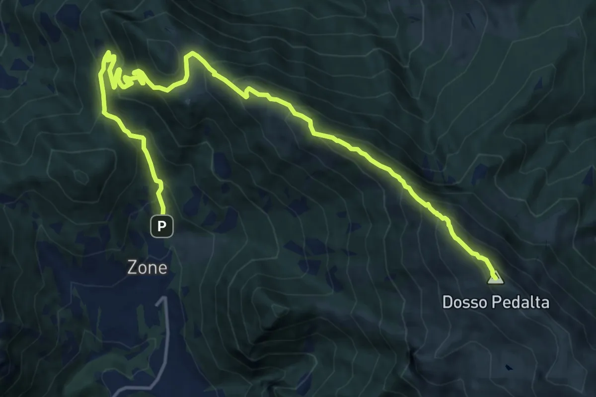
Demanding · Summit
Zone – Monte Guglielmo
17.0 km · ↑ 1277 m · 6 h 47 min · 13 km away
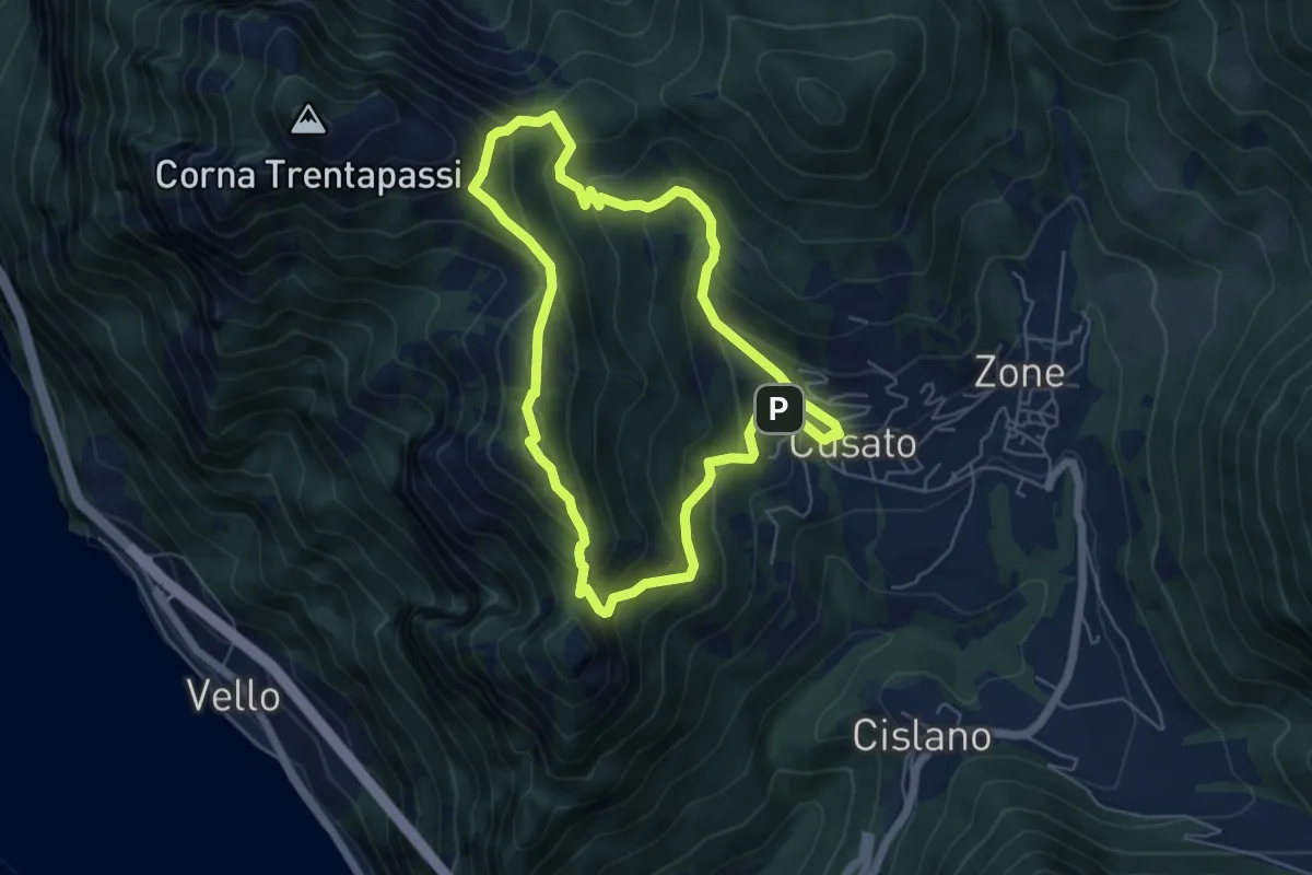
Expert · Summit
Sentiero di Monte Vignole
5.3 km · ↑ 415 m · 2 h 13 min · 13 km away
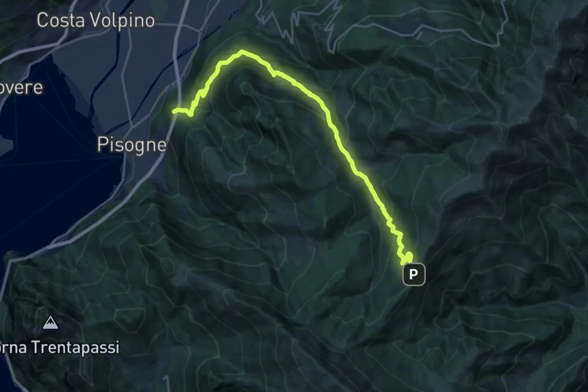
Demanding · Trail
Pisogne – Colle di San Zeno
19.8 km · ↑ 1206 m · 7 h 17 min · 13 km away
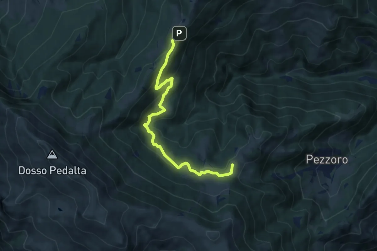
Medium · Summit
Tavernole Sul Mella (Pozza Lavacolo - Bivio Sentiero 325) – Colle di San Zeno (Bivio Sentiero 393 3V)
9.2 km · ↑ 437 m · 3 h 7 min · 13 km away
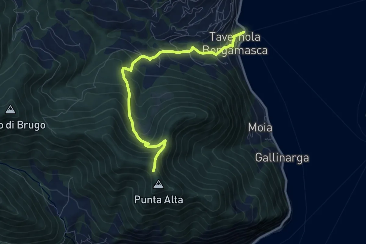
Medium · Trail
Tavernola Bergamasca – Punta Alta
7.9 km · ↑ 732 m · 3 h 28 min · 13 km away
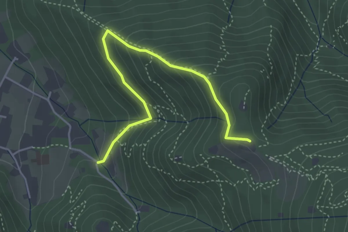
Medium · Trail
Brescia (Costalunga - Via Monte della Valle) – Monte Maddalena (Cascina Margherita - Innesto Sentiero 907)
4.0 km · ↑ 301 m · 1 h 36 min · 13 km away
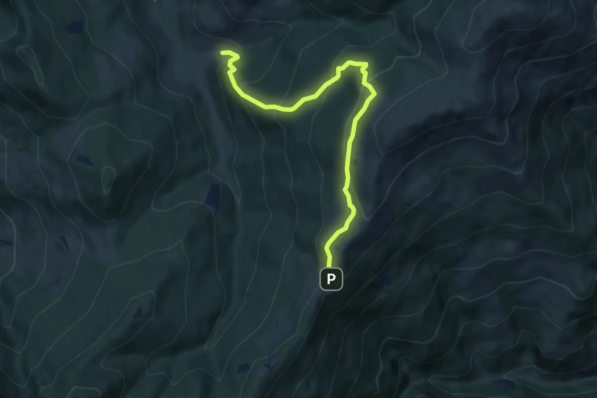
Medium · Trail
Palot - Colle di San Zeno
8.5 km · ↑ 588 m · 3 h 17 min · 13 km away
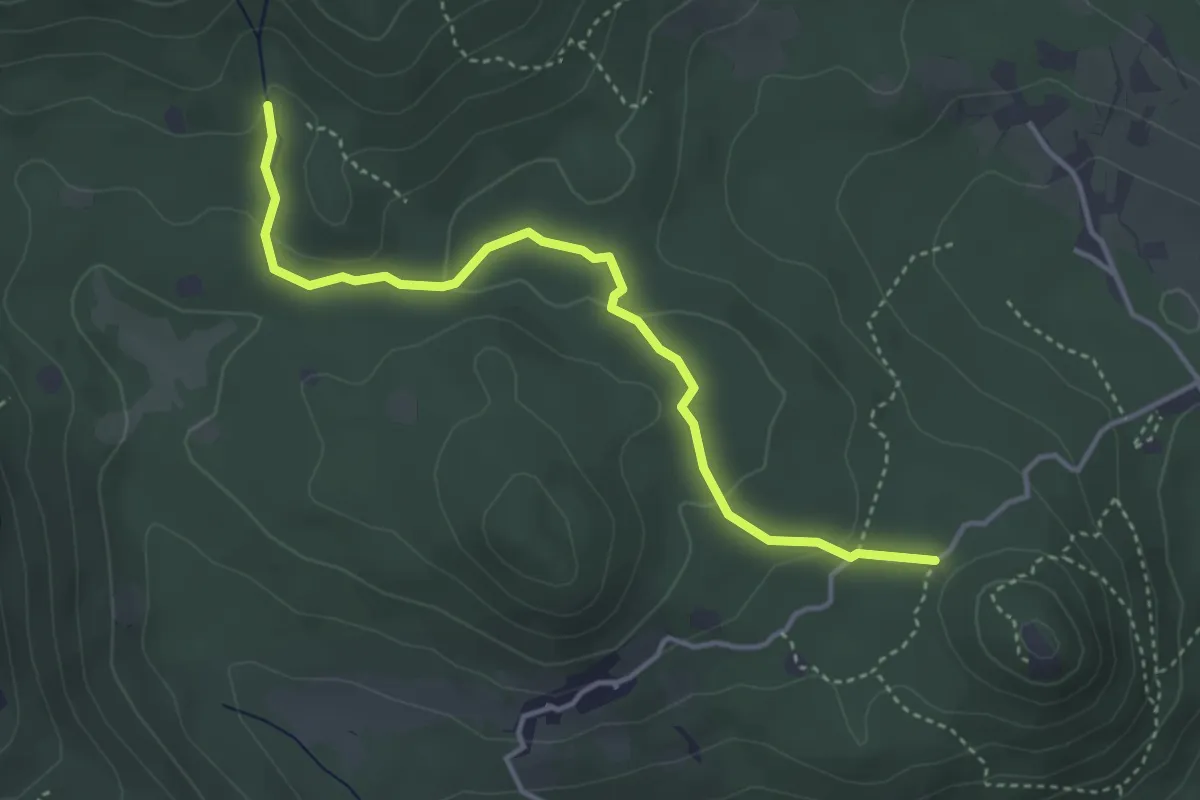
Easy · Trail
Serle (Santuario di San Bartolomeo) - Monte Ucia
4.1 km · ↑ 123 m · 1 h 14 min · 13 km away
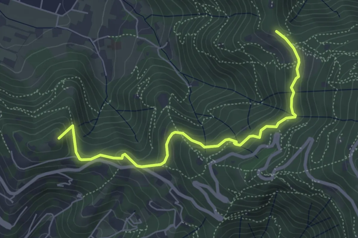
Medium · Summit
Brescia (Via del Goletto) – Cascina Margherita
5.9 km · ↑ 306 m · 2 h 3 min · 13 km away
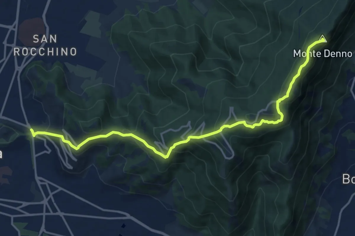
Medium · Summit
Sentiero 3V - Tappa 1a
13.1 km · ↑ 743 m · 4 h 42 min · 13 km away
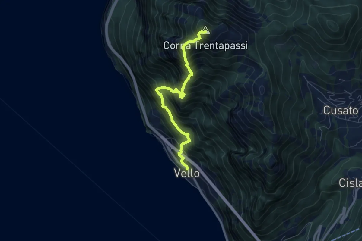
Demanding · Summit
Vello – Corna Trentapassi
6.3 km · ↑ 1160 m · 4 h · 14 km away
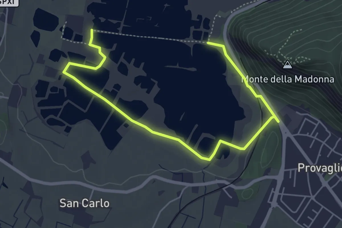
Easy · Trail
Percorso Pedonale Sud
6.4 km · ↑ 61 m · 1 h 39 min · 14 km away
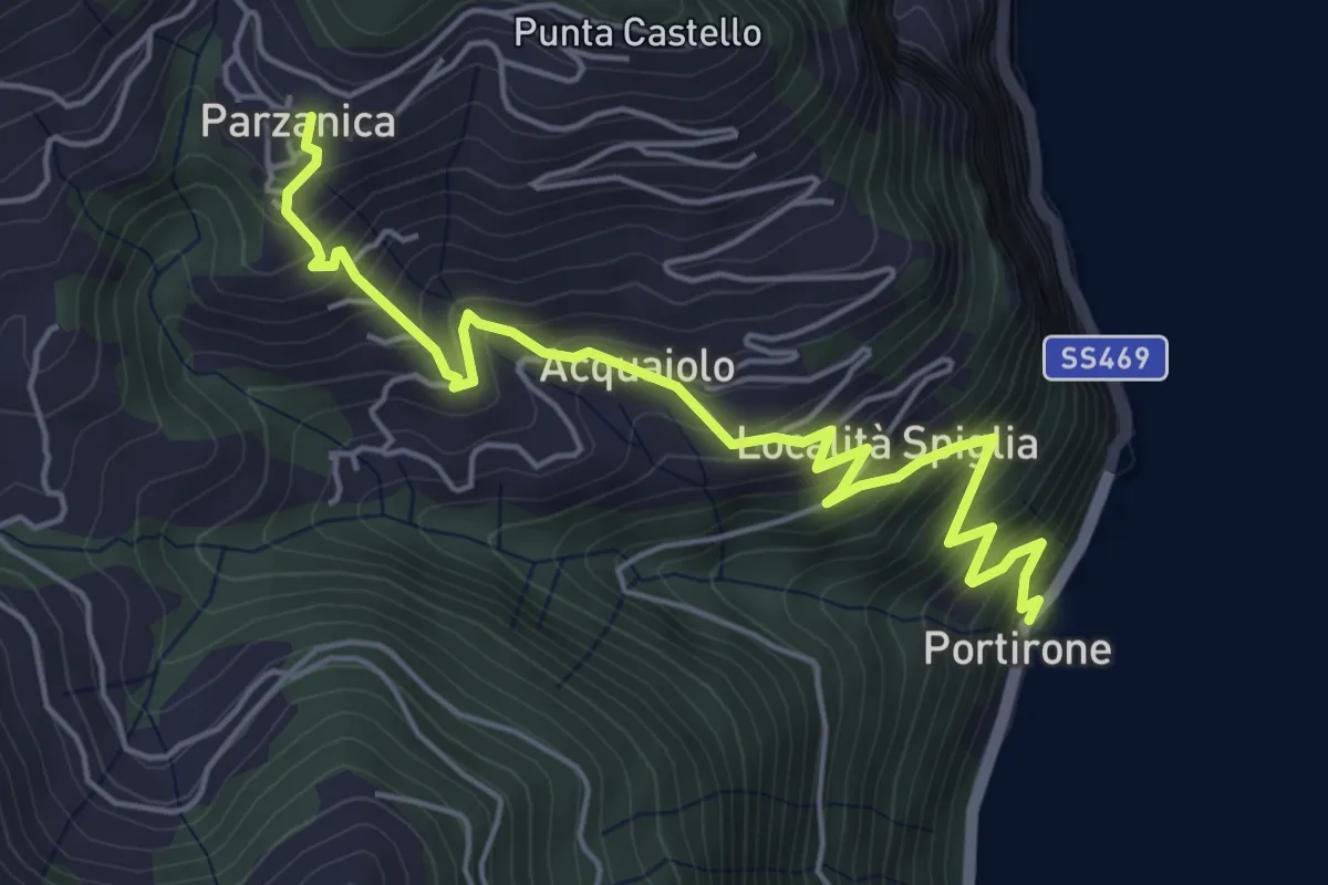
Medium · Trail
Portirone – Parzanica
5.8 km · ↑ 617 m · 2 h 42 min · 14 km away
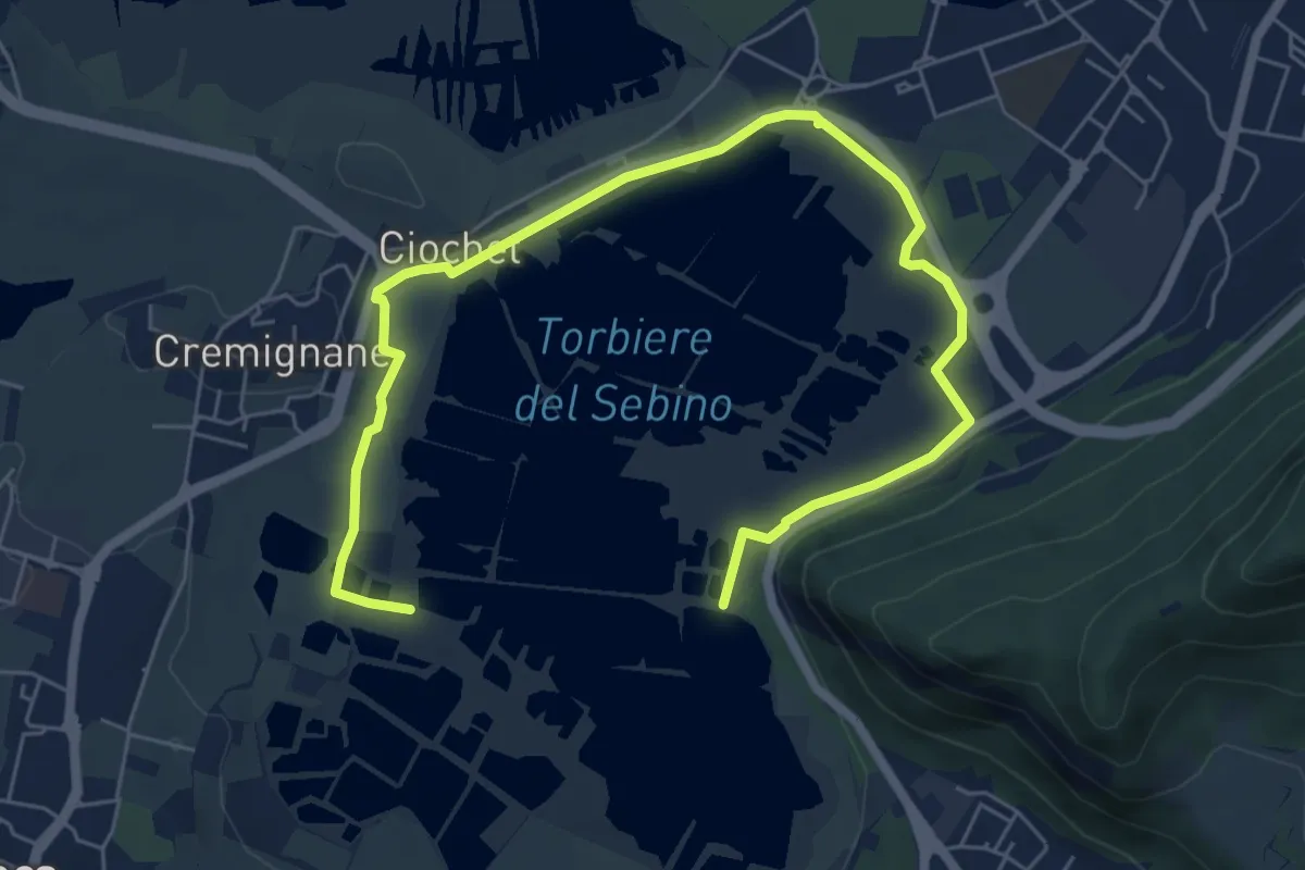
Medium · Trail
Percorso Pedonale Nord
8.5 km · ↑ 18 m · 2 h 3 min · 14 km away
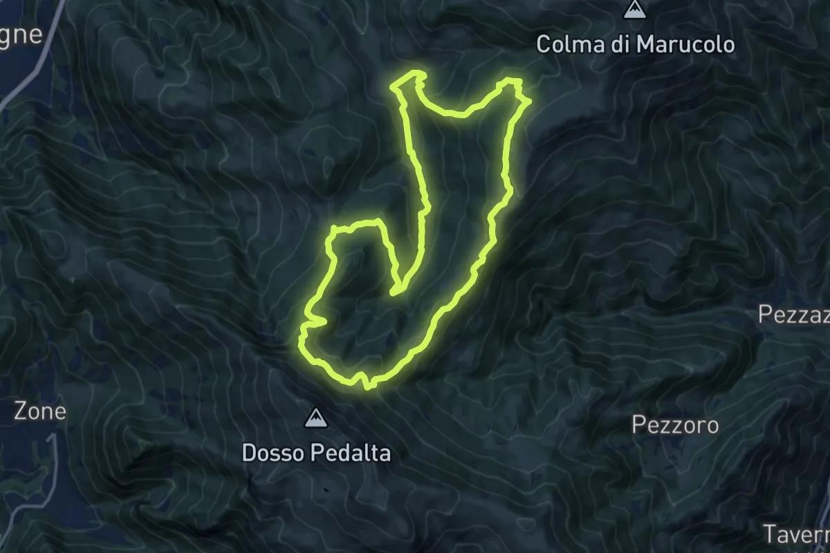
Medium · Summit
Malghe in Rete - Anello 5 - Val Palot
14.9 km · ↑ 756 m · 5 h 22 min · 14 km away
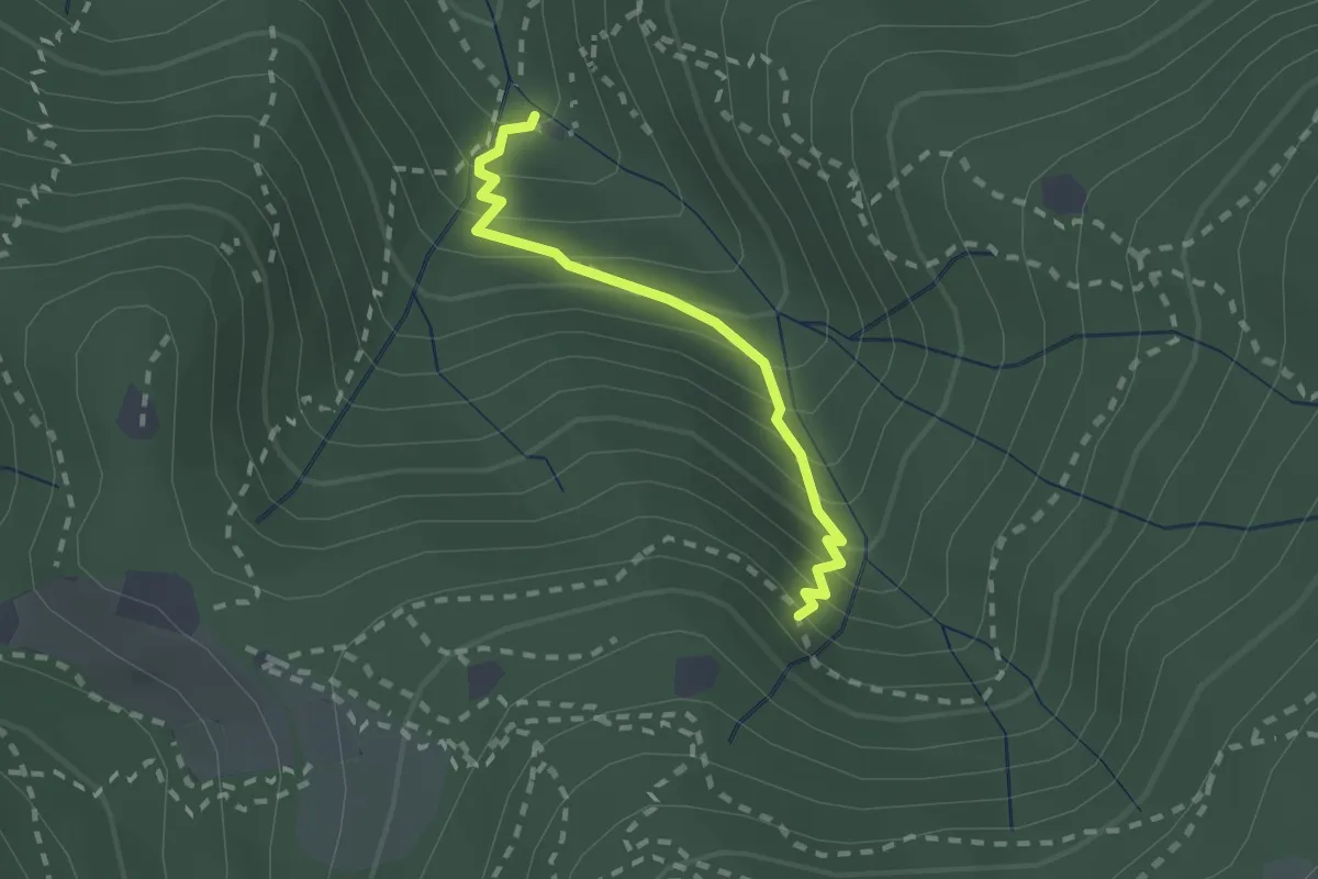
Medium · Cabin
Sentiero di Jago
1.9 km · ↑ 249 m · 59 min · 14 km away
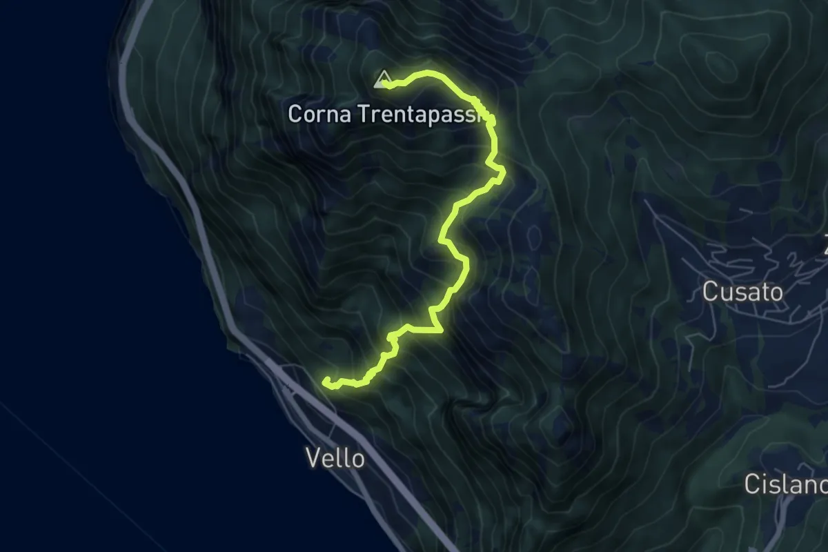
Demanding · Summit
Vello (SPBS510) – Corna Trentapassi
6.2 km · ↑ 917 m · 3 h 28 min · 14 km away
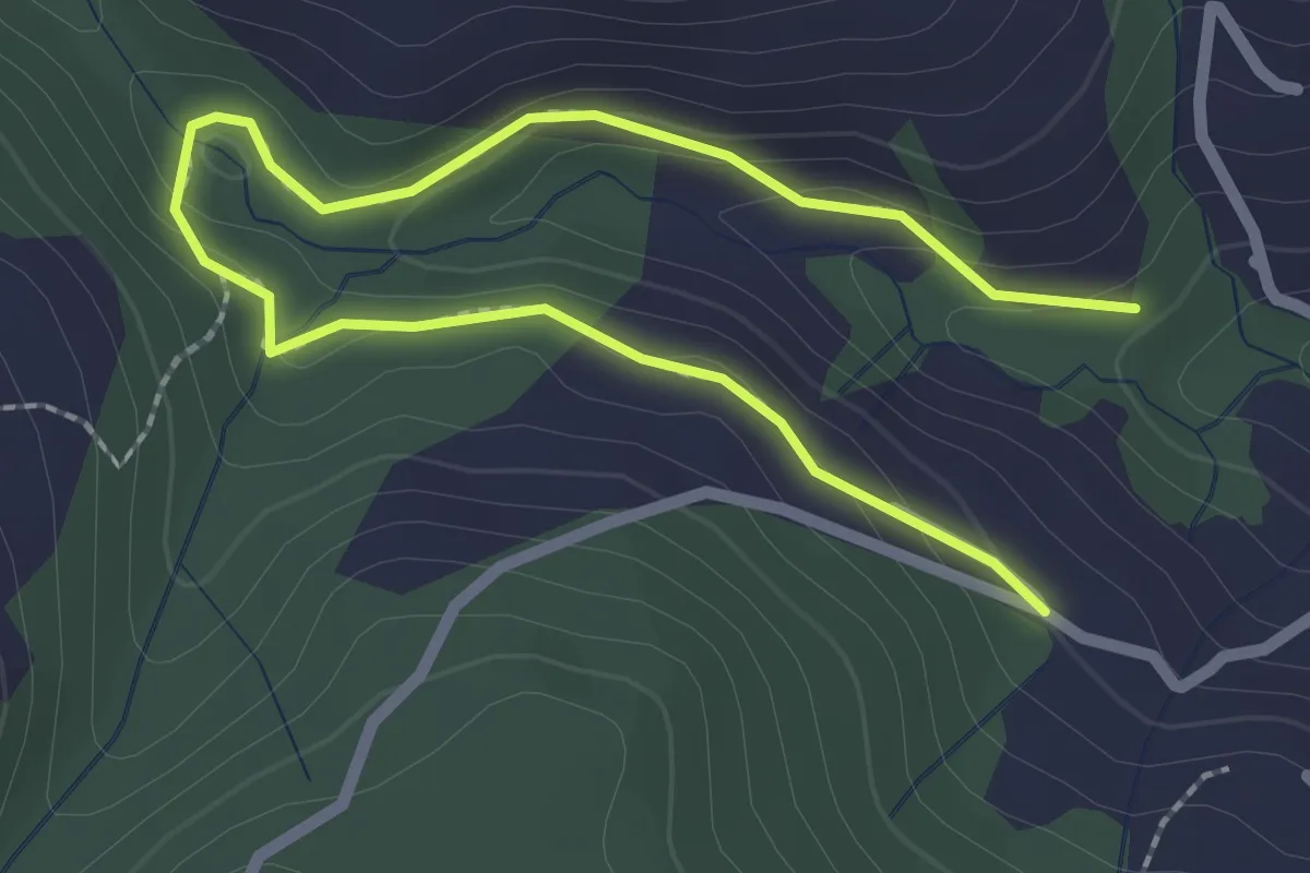
Easy · Trail
Madonna di Cortinica – Ponte di Lughel
3.2 km · ↑ 101 m · 59 min · 14 km away
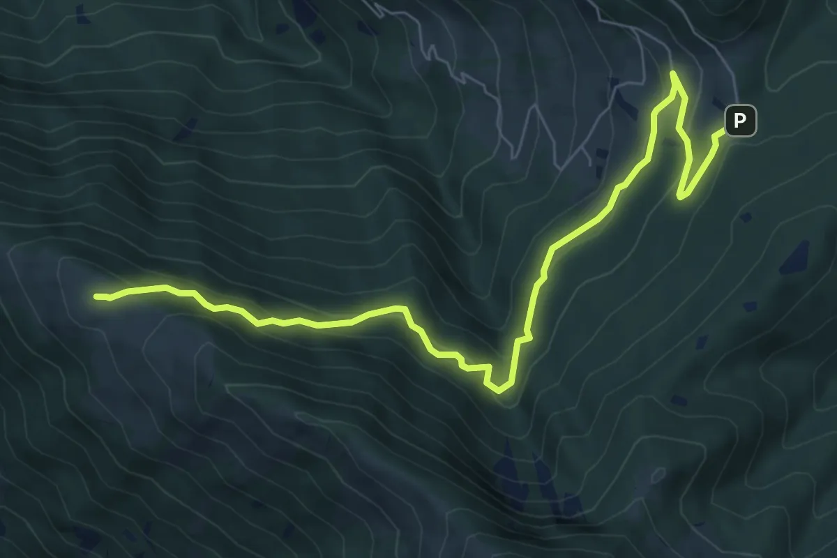
Medium · Summit
Passabocche – Pozzette Agolo
8.5 km · ↑ 448 m · 2 h 58 min · 14 km away
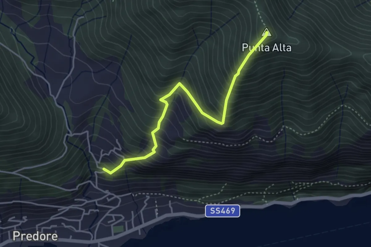
Medium · Summit
San Gregorio (Predore) – Punta Alta
3.9 km · ↑ 634 m · 2 h 18 min · 14 km away
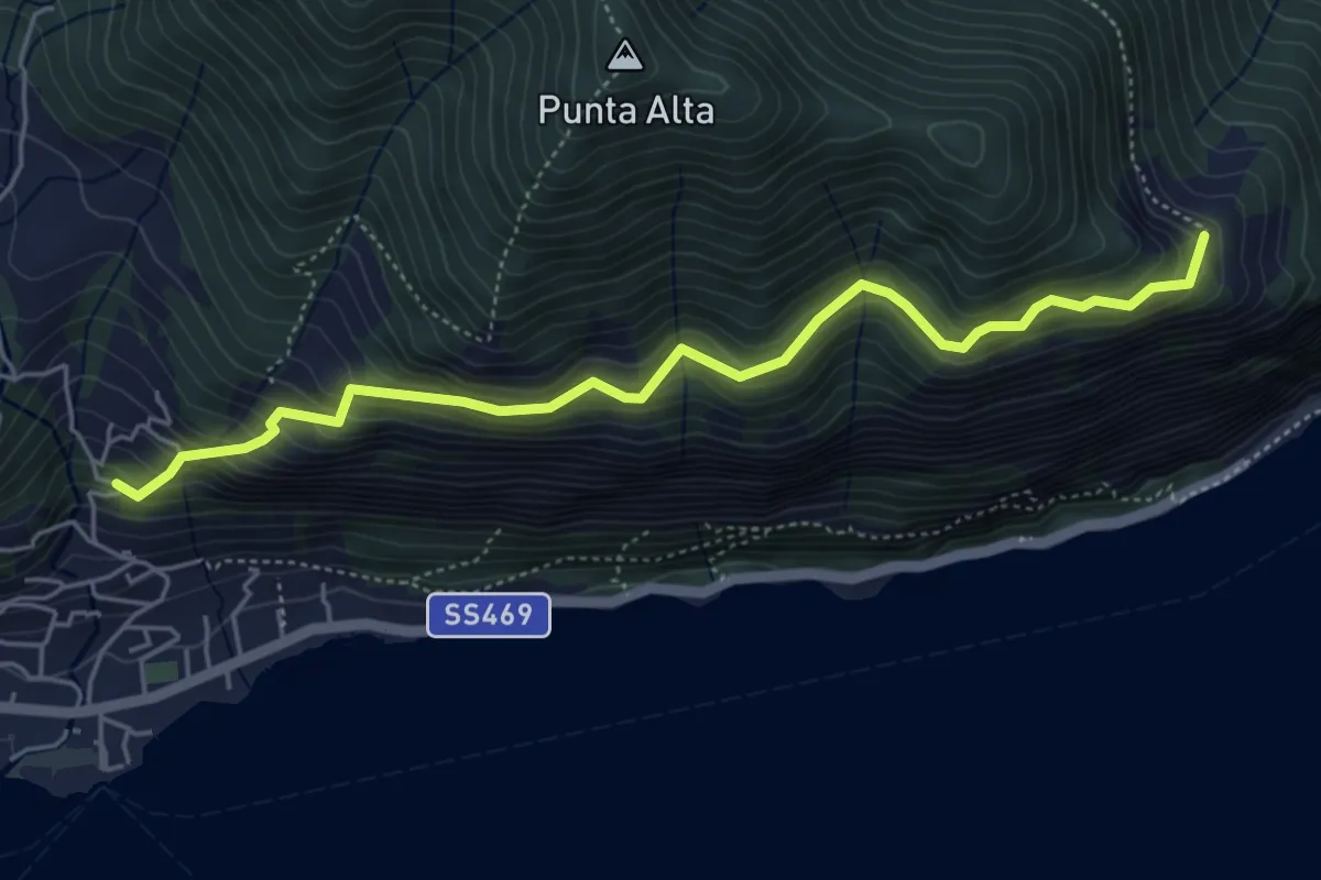
Medium · Trail
Sentiero dei Fiori
5.3 km · ↑ 518 m · 2 h 22 min · 14 km away