Trails near Sarezzo
327 hikes starting within 15 km, nearest first.
Nearest first, page 7 of 7
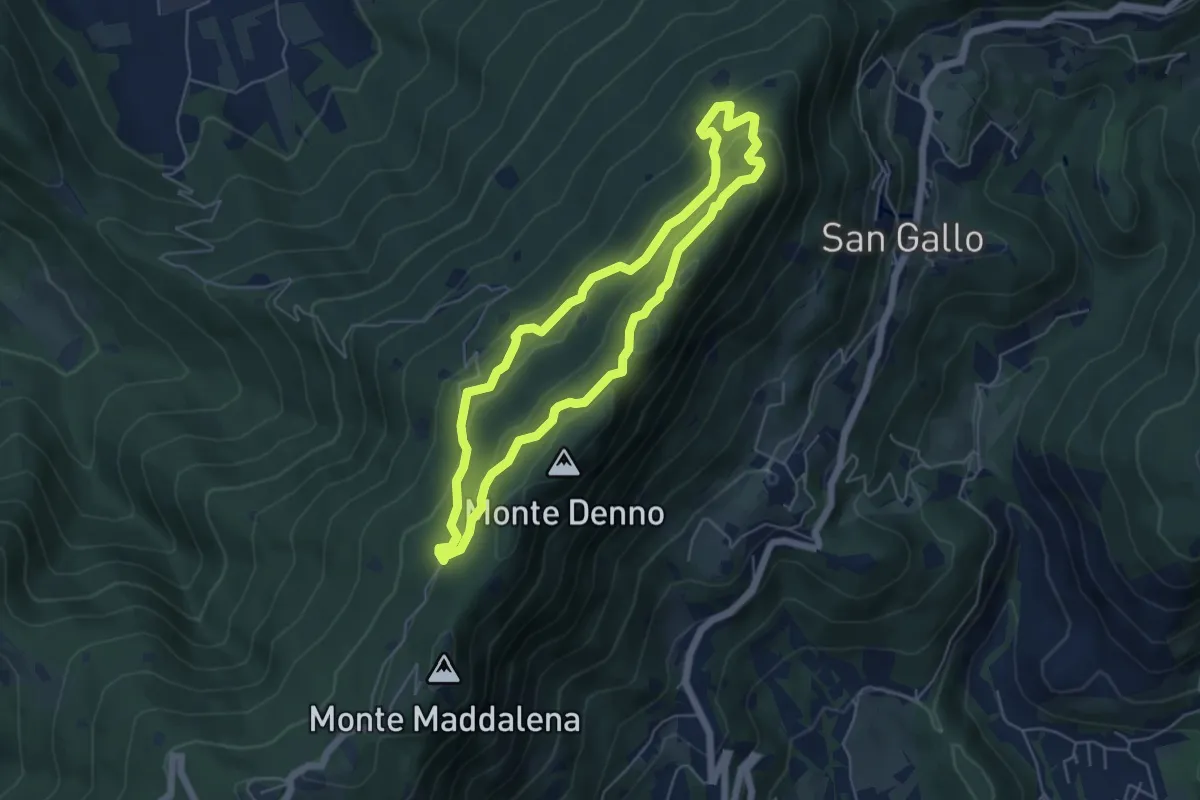
Medium · Summit
Sentiero Brigata Fiamme Verdi Dieci Giornate
5.0 km · ↑ 254 m · 1 h 48 min · 14 km away
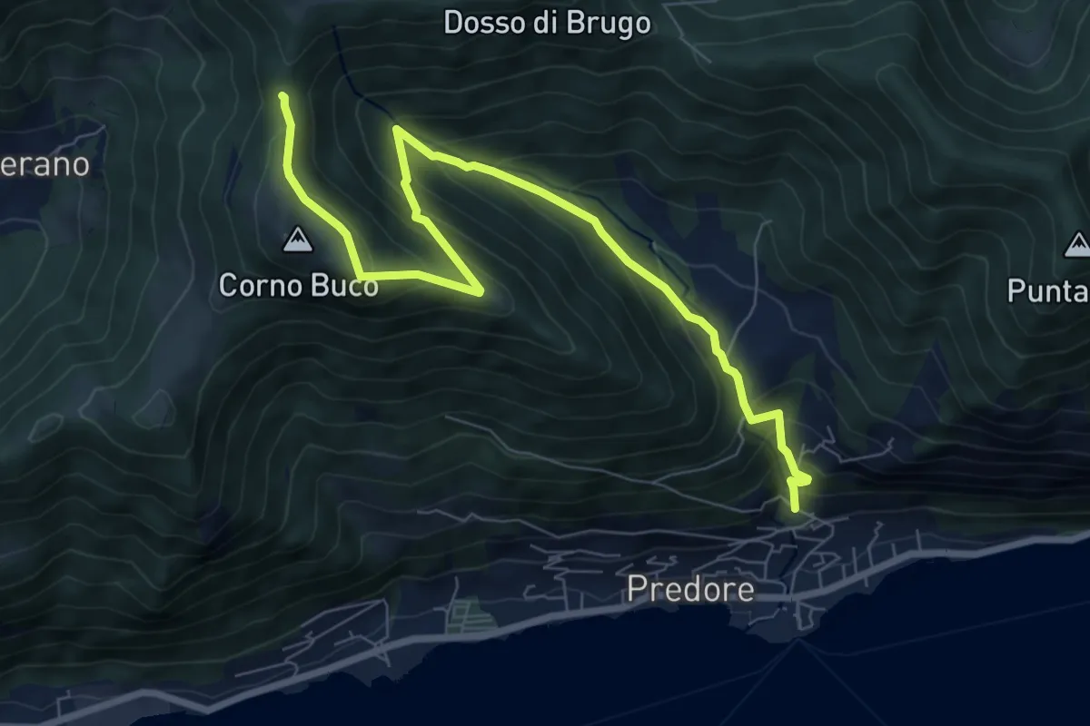
Medium · Trail
Predore – Colle di Oregia
8.7 km · ↑ 661 m · 3 h 29 min · 14 km away
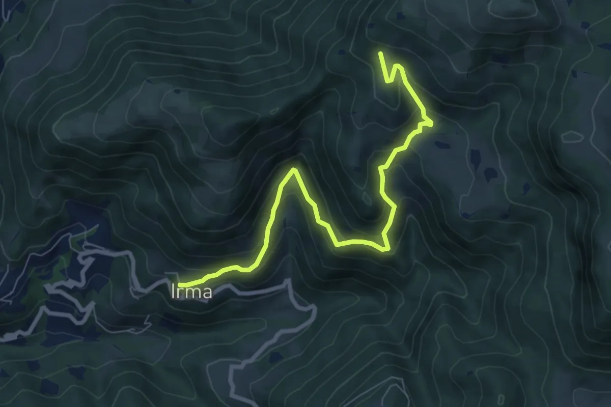
Medium · Trail
Irma (Cimitero) – Monte Ario - (Malga Confine - Innesto Sentiero 345)
7.7 km · ↑ 546 m · 3 h 1 min · 14 km away
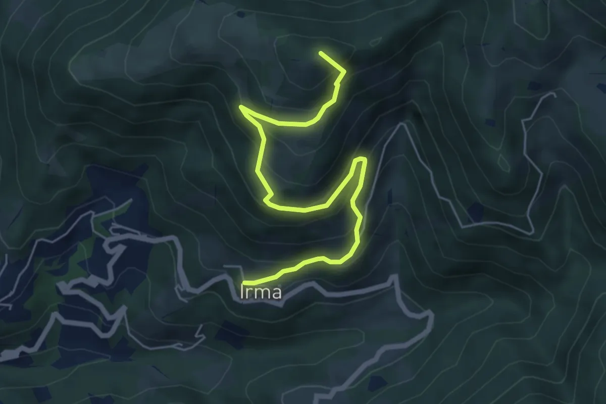
Medium · Summit
Irma (Cimitero) – Monte Ario (Passo del Cavalletto - Innesto Sentiero 345)
5.7 km · ↑ 483 m · 2 h 23 min · 14 km away
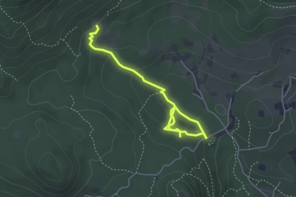
Easy · Trail
Sentiero degli Omber
2.2 km · ↑ 40 m · 40 min · 14 km away
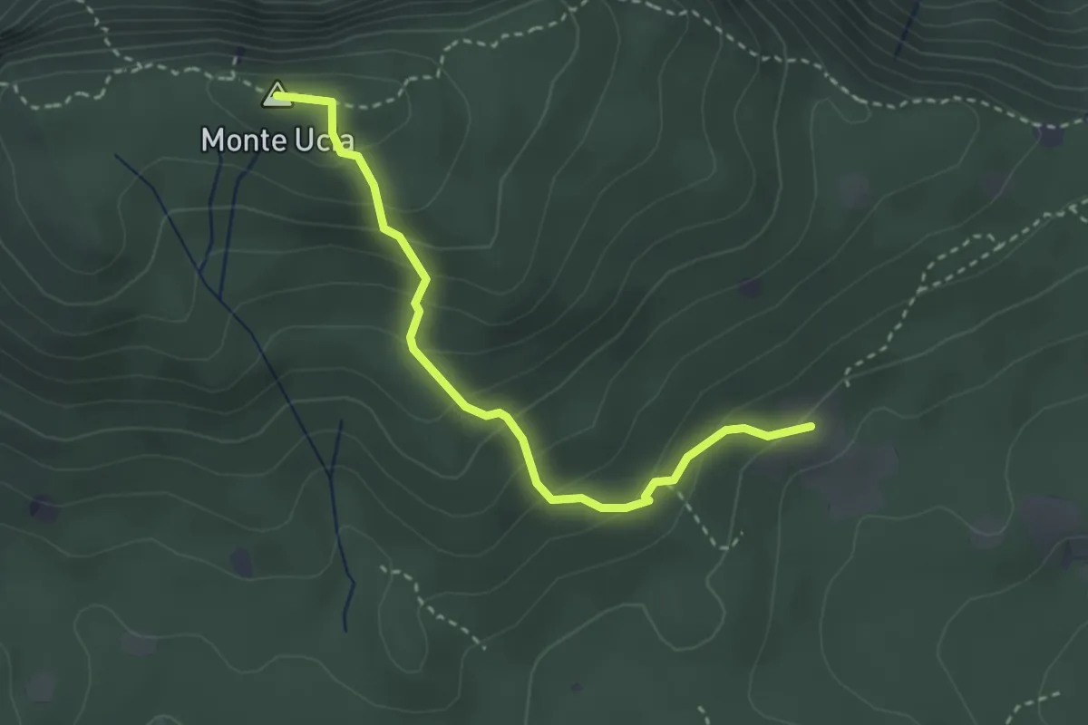
Easy · Summit
Serle (Cascina del Comune) - Corna di Caino
3.1 km · ↑ 265 m · 1 h 19 min · 14 km away
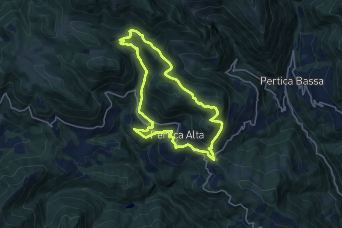
Medium · Summit
Pertica Alta (Livemmo - Passo San Rocco) – Passo San Rocco
9.8 km · ↑ 504 m · 3 h 32 min · 14 km away
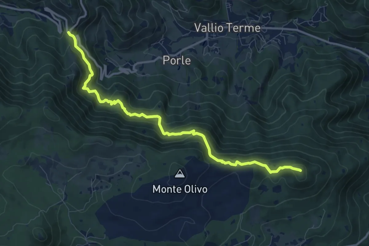
Medium · Summit
Sentér de mès
10.1 km · ↑ 629 m · 3 h 45 min · 14 km away
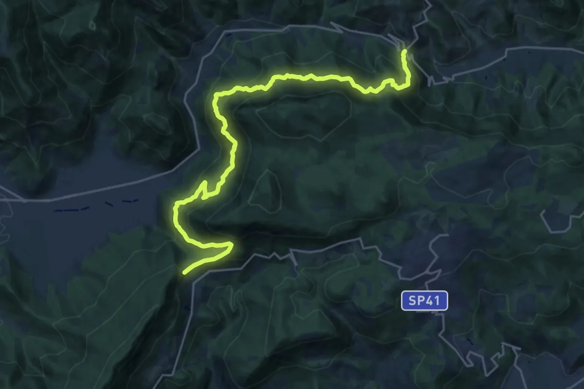
Demanding · Summit
Sentér Bandìt
22.8 km · ↑ 2084 m · 9 h 53 min · 14 km away
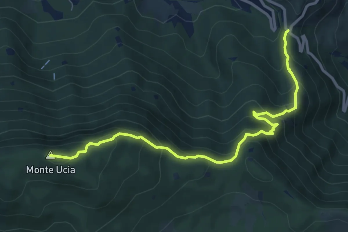
Medium · Summit
Sentiero Donna - Guarneri
7.2 km · ↑ 651 m · 3 h 7 min · 14 km away
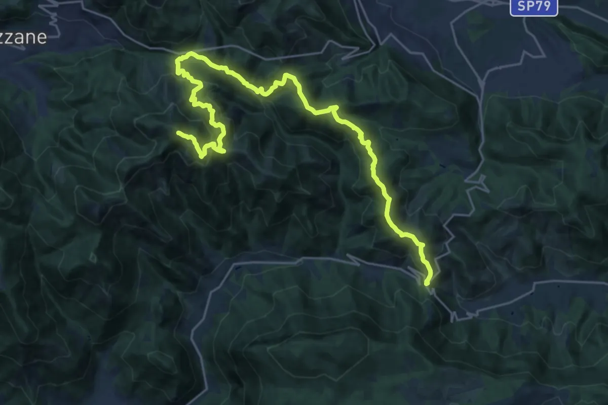
Expert · Summit
Caino (Villa Sera) – Colle di Sant'Eusebio
24.7 km · ↑ 1761 m · 9 h 39 min · 14 km away
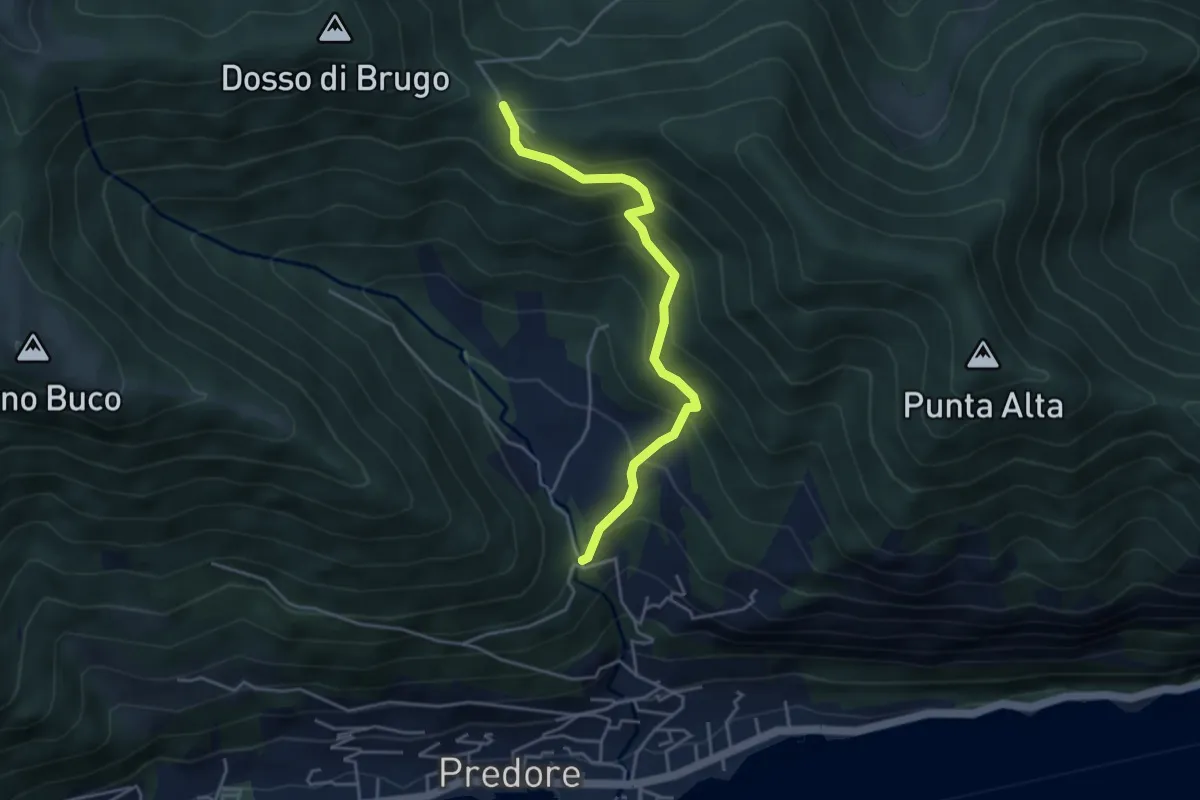
Medium · Trail
San Gregorio (incrocio 708) – Colle del Giogo (incrocio 707)
4.1 km · ↑ 382 m · 1 h 47 min · 14 km away
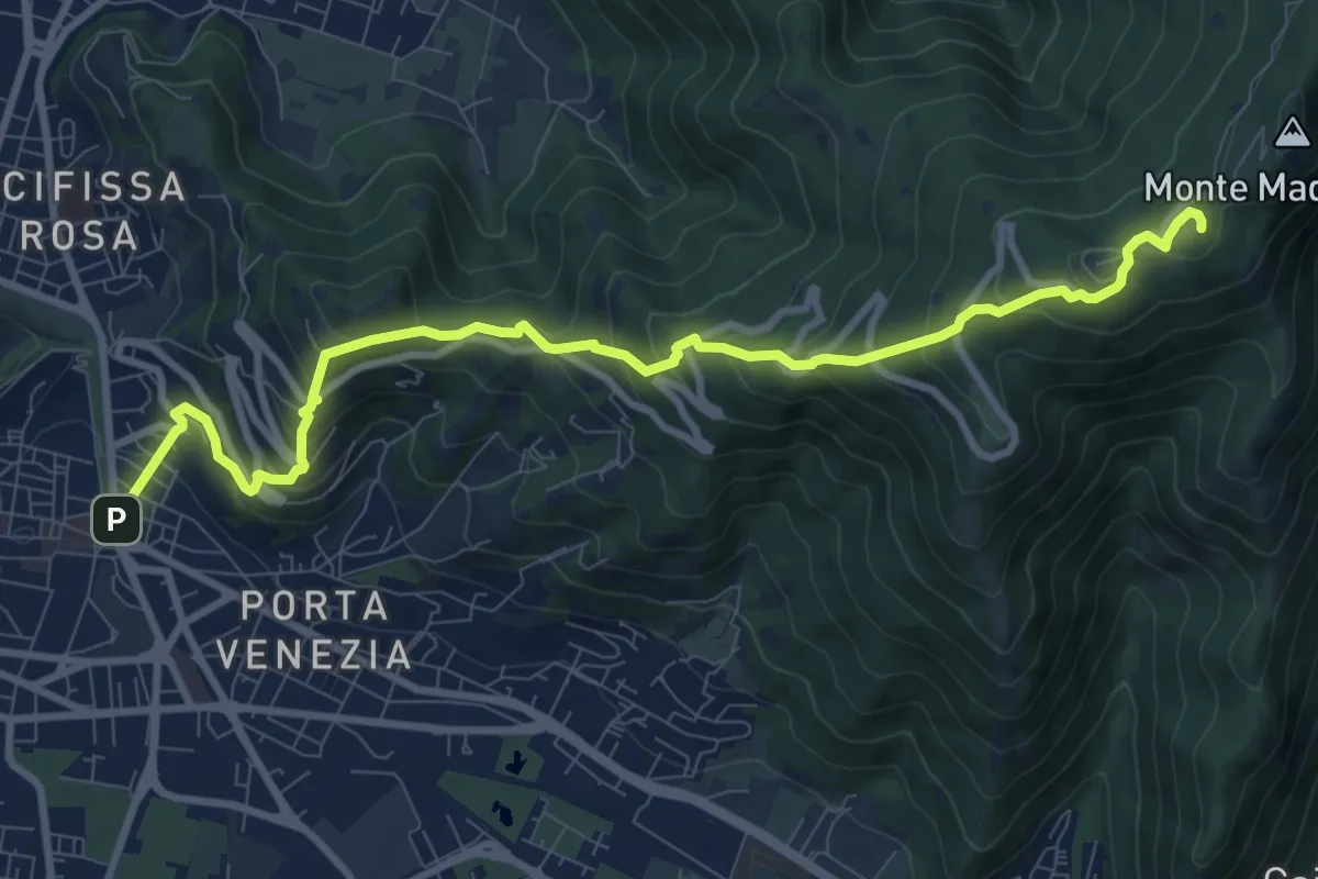
Medium · Trail
Brescia (Via Filippo Turati) – Chiesetta Monte Maddalena
10.7 km · ↑ 699 m · 4 h 2 min · 14 km away
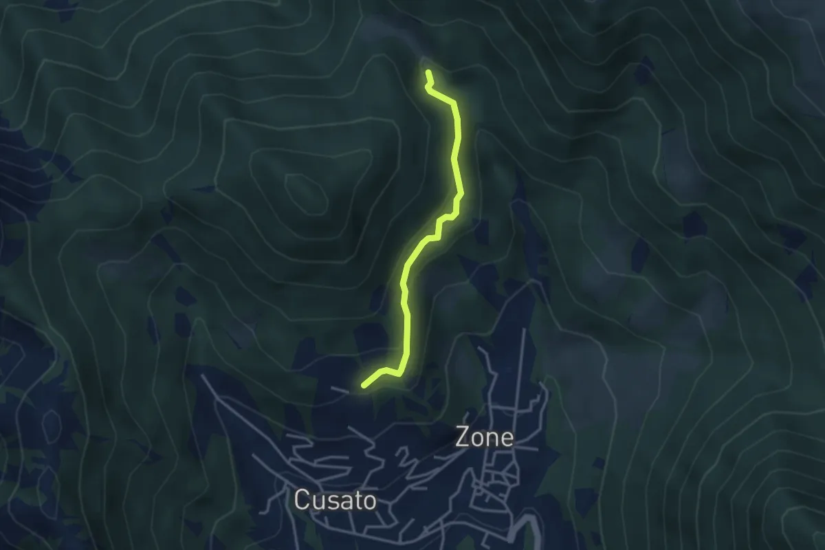
Easy · Trail
Sentiero della Salve Regina
2.9 km · ↑ 148 m · 1 h · 14 km away
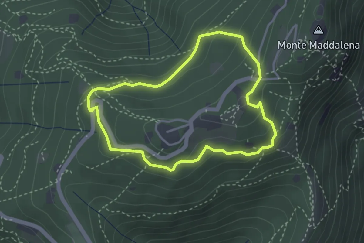
Medium · Trail
Anello della Maddalena
2.7 km · ↑ 144 m · 59 min · 14 km away
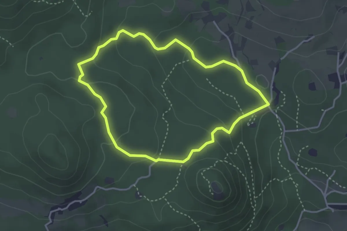
Easy · Trail
Serle (Grotta della Carbonella) - Büs de la Pocia
3.2 km · ↑ 108 m · 1 h 2 min · 14 km away
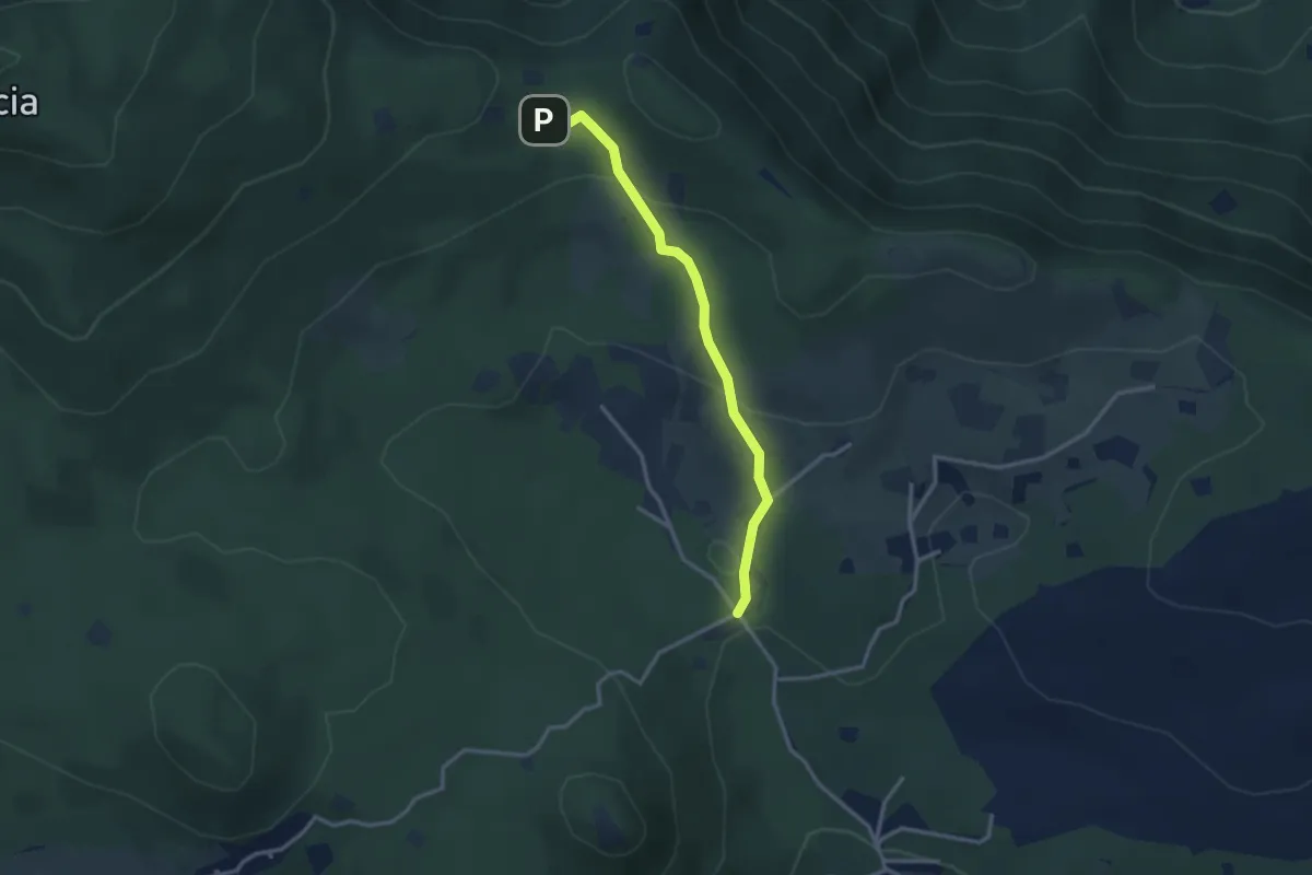
Easy · Cabin
Serle (Rifugio Alpini di Serle) - Monte Ucia - Corna di Caino
2.9 km · ↑ 122 m · 57 min · 14 km away
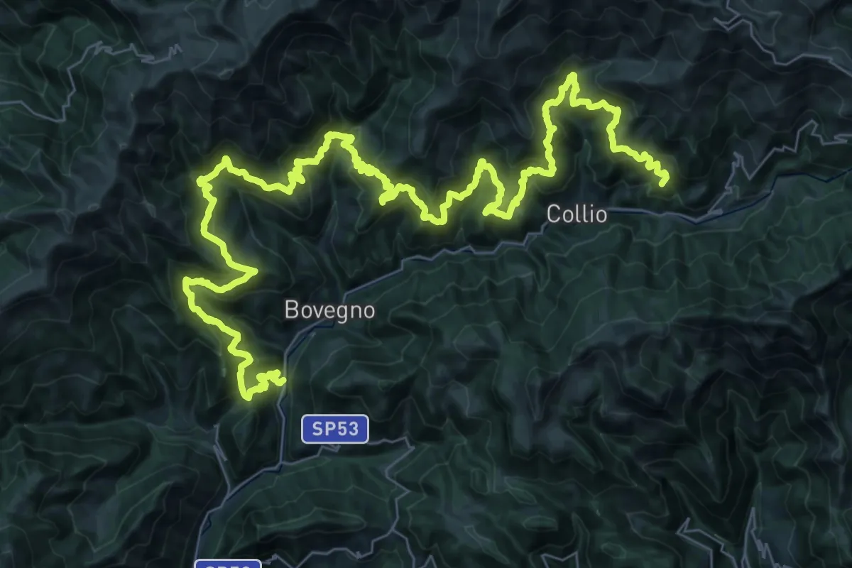
Demanding · Summit
Sentiero Solivo Alta Valle Trompia
59.2 km · ↑ 4432 m · 23 h 36 min · 14 km away
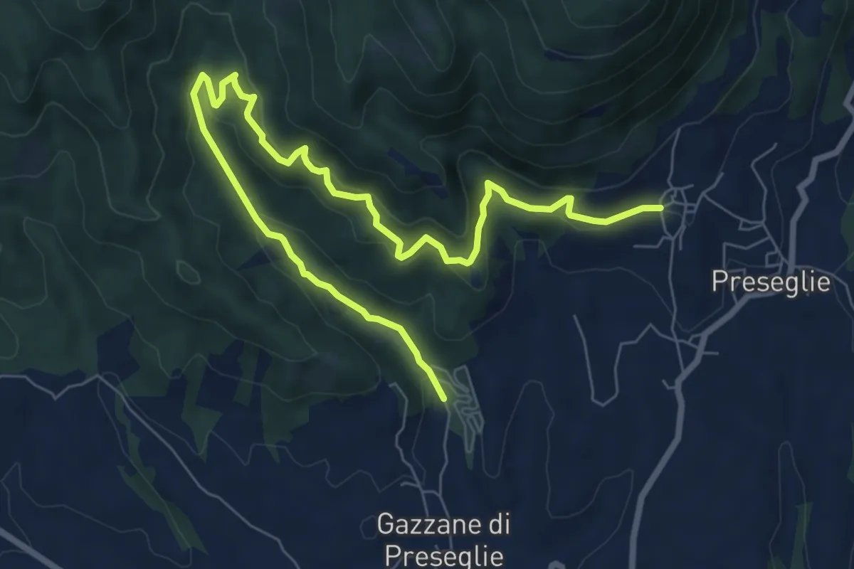
Medium · Trail
Loc. Piazza - Preseglie – Loc. Galaello - Gazzane
9.6 km · ↑ 509 m · 3 h 21 min · 14 km away
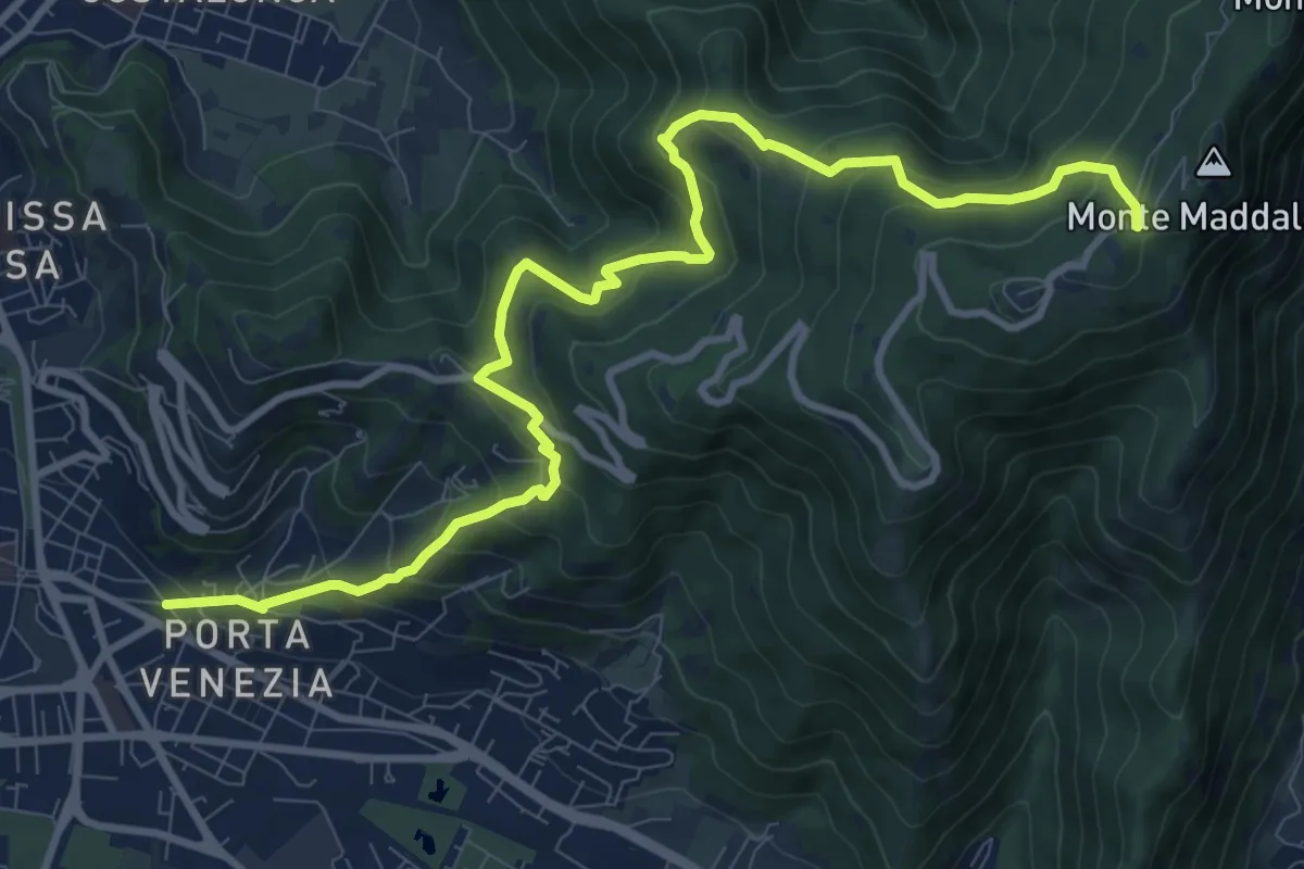
Demanding · Trail
Brescia (Via Amba d'Oro) – Monte Maddalena (Piazzale Ristorante Grillo)
12.1 km · ↑ 852 m · 4 h 42 min · 14 km away
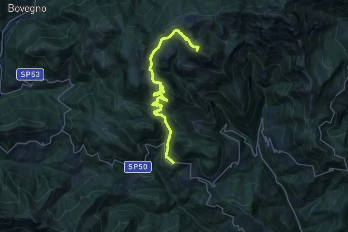
Demanding · Summit
Odeno - Passo Pezzeda
18.0 km · ↑ 1105 m · 6 h 38 min · 14 km away
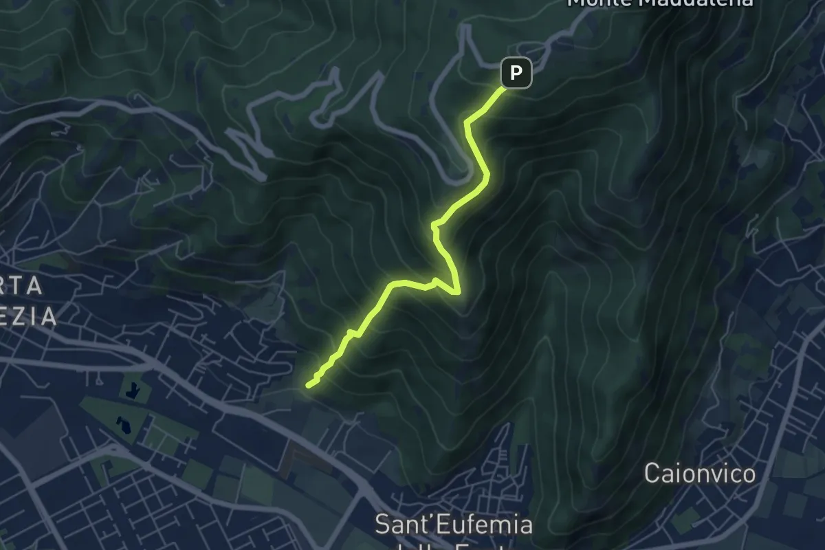
Medium · Trail
Sentiero Pastori 2
5.2 km · ↑ 637 m · 2 h 36 min · 14 km away
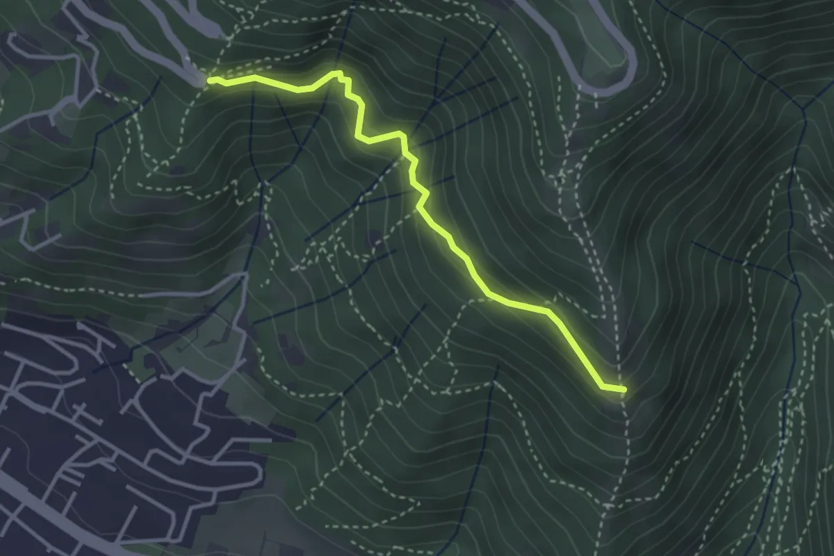
Medium · Trail
Innesto sentiero n. 902 – Innesto sentiero3V n.993
3.2 km · ↑ 233 m · 1 h 16 min · 14 km away
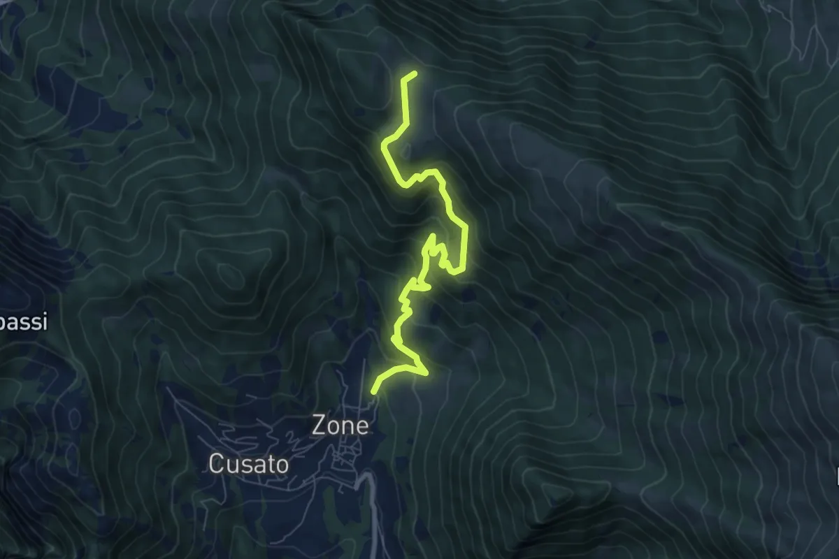
Medium · Trail
Sentiero di Bombolone - Aguina
7.7 km · ↑ 647 m · 3 h 13 min · 15 km away
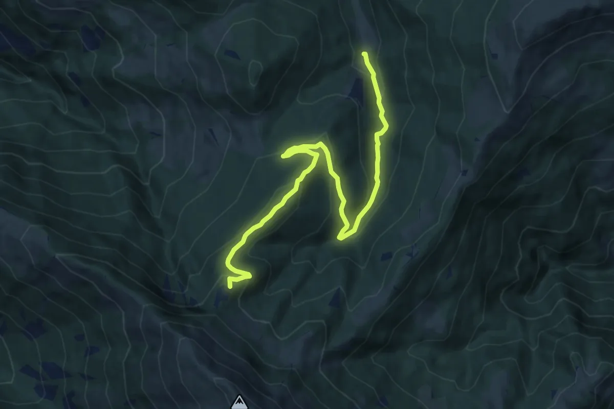
Medium · Summit
Duadell – Roccolo Caravina
11.3 km · ↑ 544 m · 3 h 51 min · 15 km away
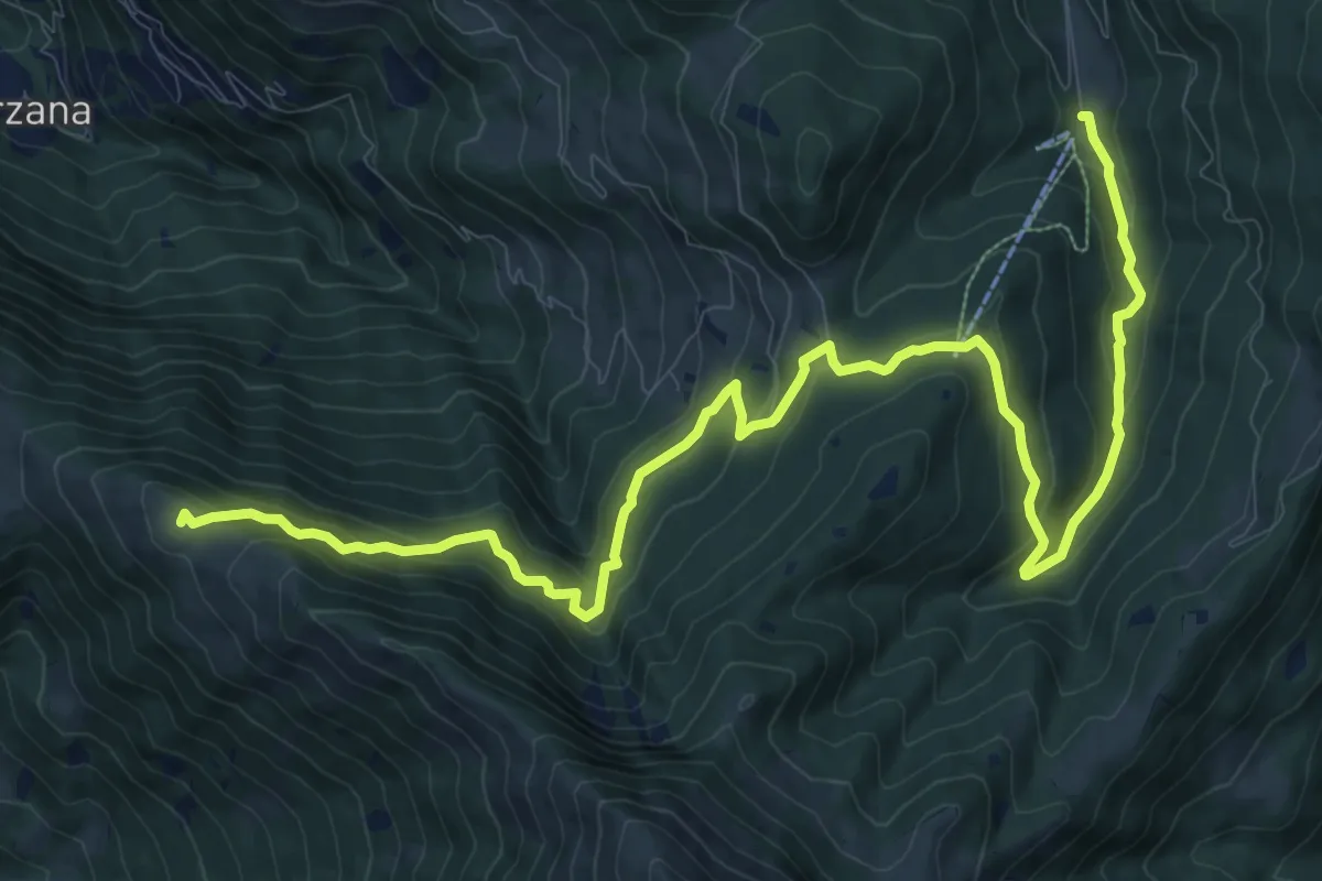
Medium · Summit
Malghe in Rete - Trekking - Le Valli Tappa 1
14.9 km · ↑ 754 m · 5 h 9 min · 15 km away
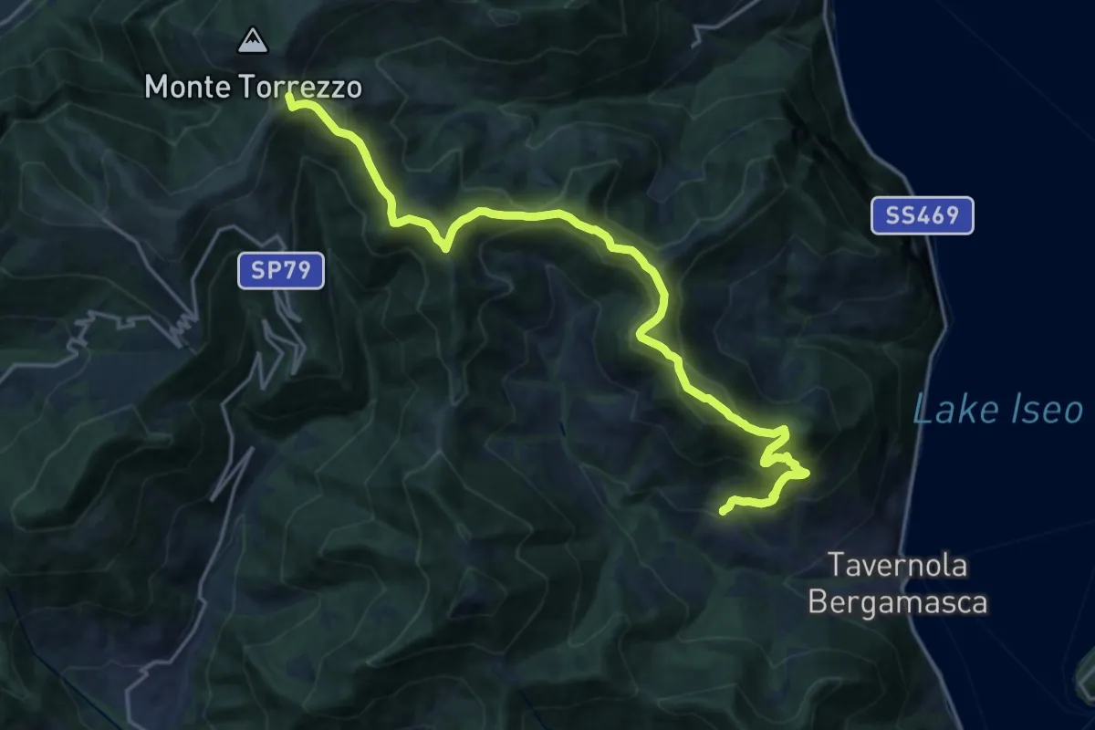
Demanding · Summit
Sentiero tra i monti e il lago - Tappa 2
19.5 km · ↑ 1222 m · 7 h 15 min · 15 km away
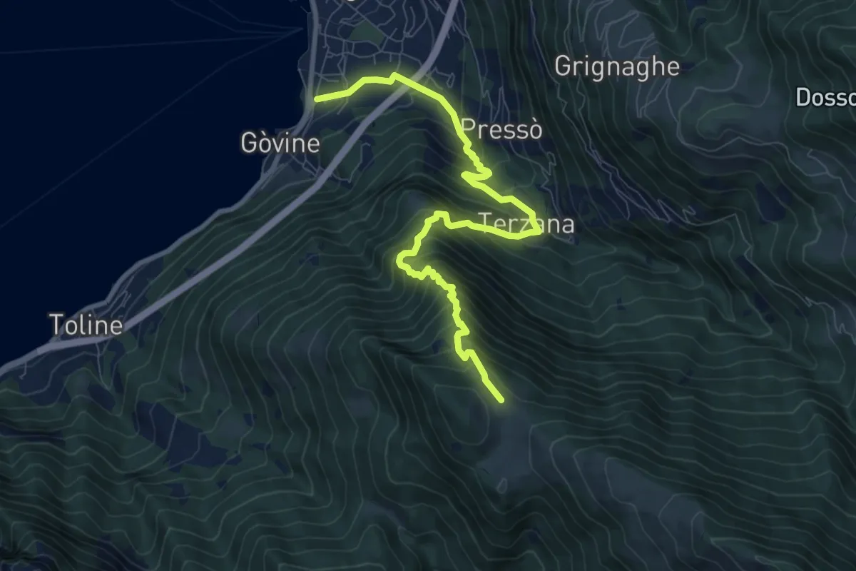
Demanding · Trail
Pisogne – Malga Aguina
9.5 km · ↑ 1120 m · 4 h 40 min · 15 km away
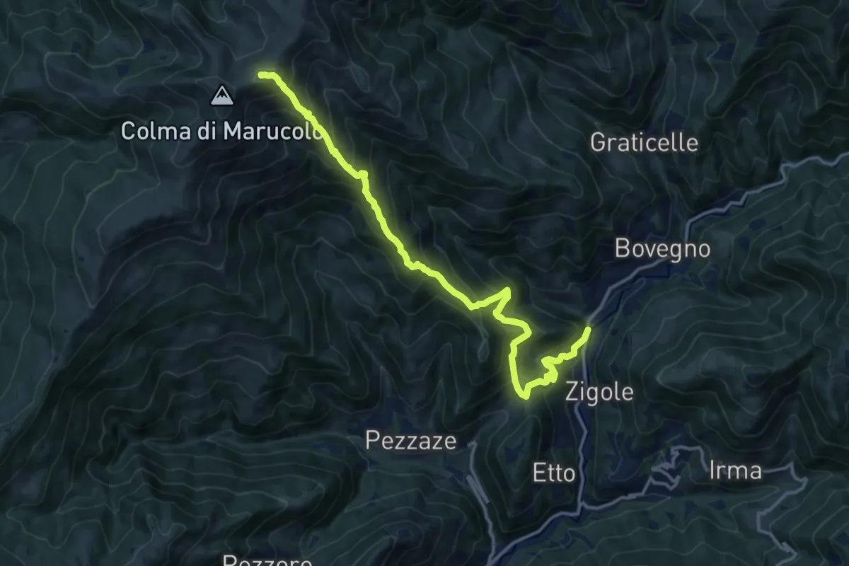
Demanding · Summit
Montecampione
14.9 km · ↑ 1354 m · 6 h 27 min · 15 km away
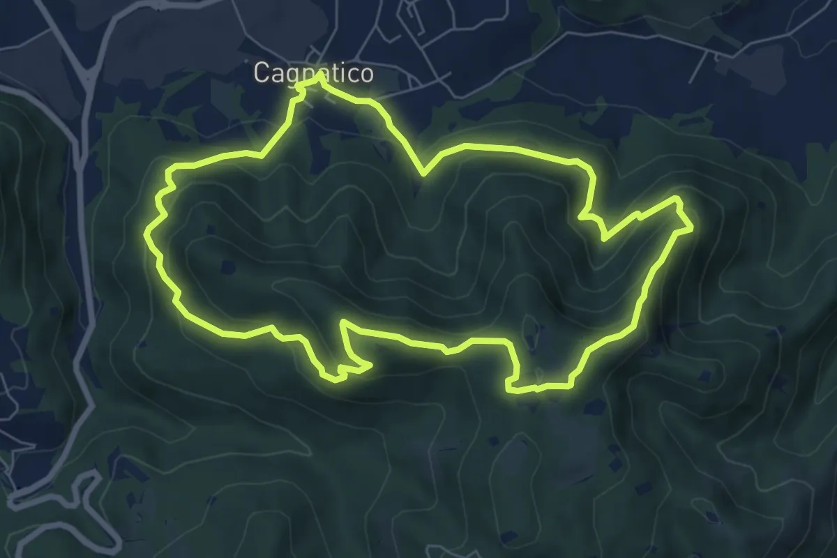
Medium · Summit
Odolo (Cagnatico) – Cagnatico
7.1 km · ↑ 405 m · 2 h 40 min · 15 km away
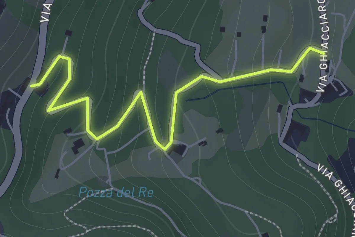
Easy · Trail
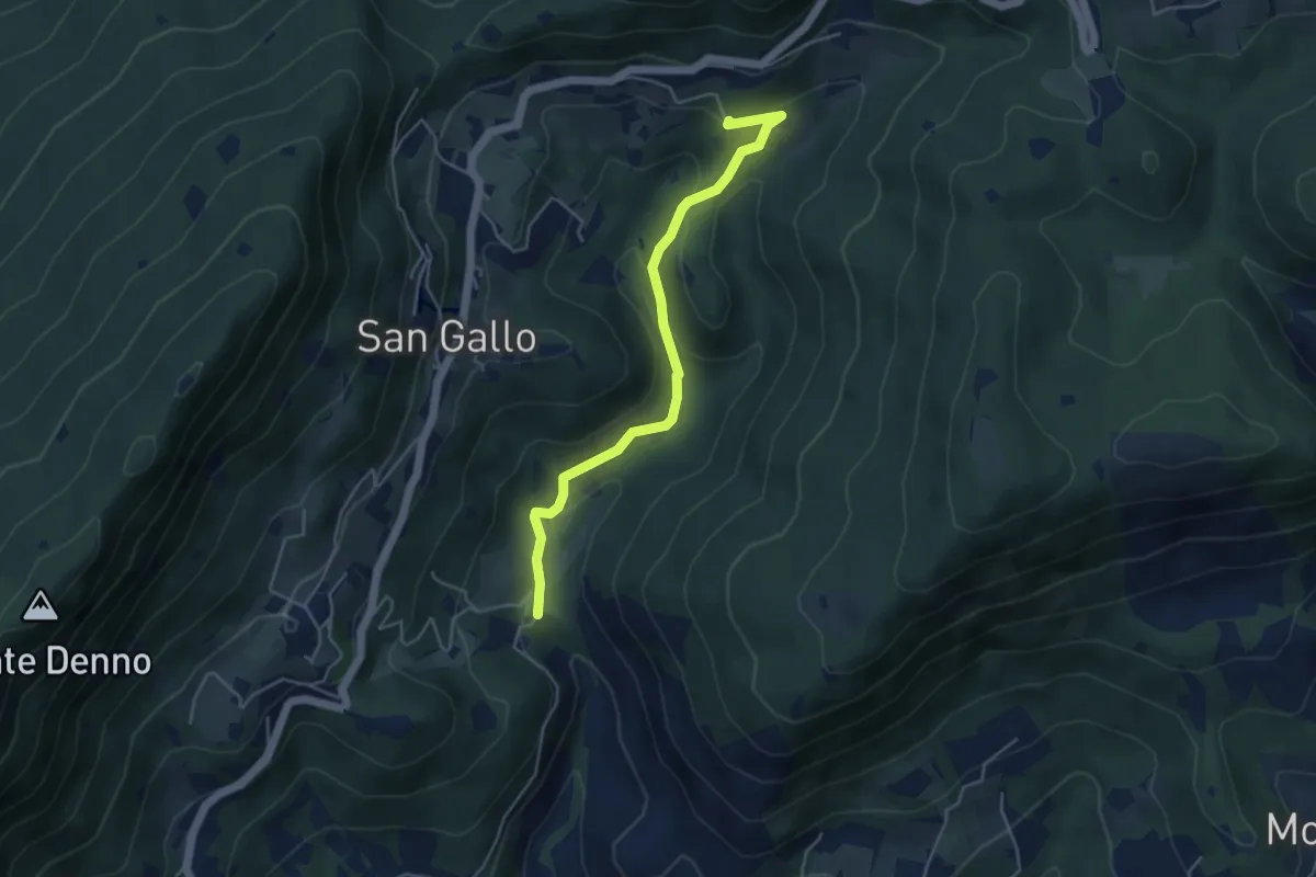
La Via del marmo - Botticino (San Gallo)
2.0 km · ↑ 147 m · 48 min · 15 km away
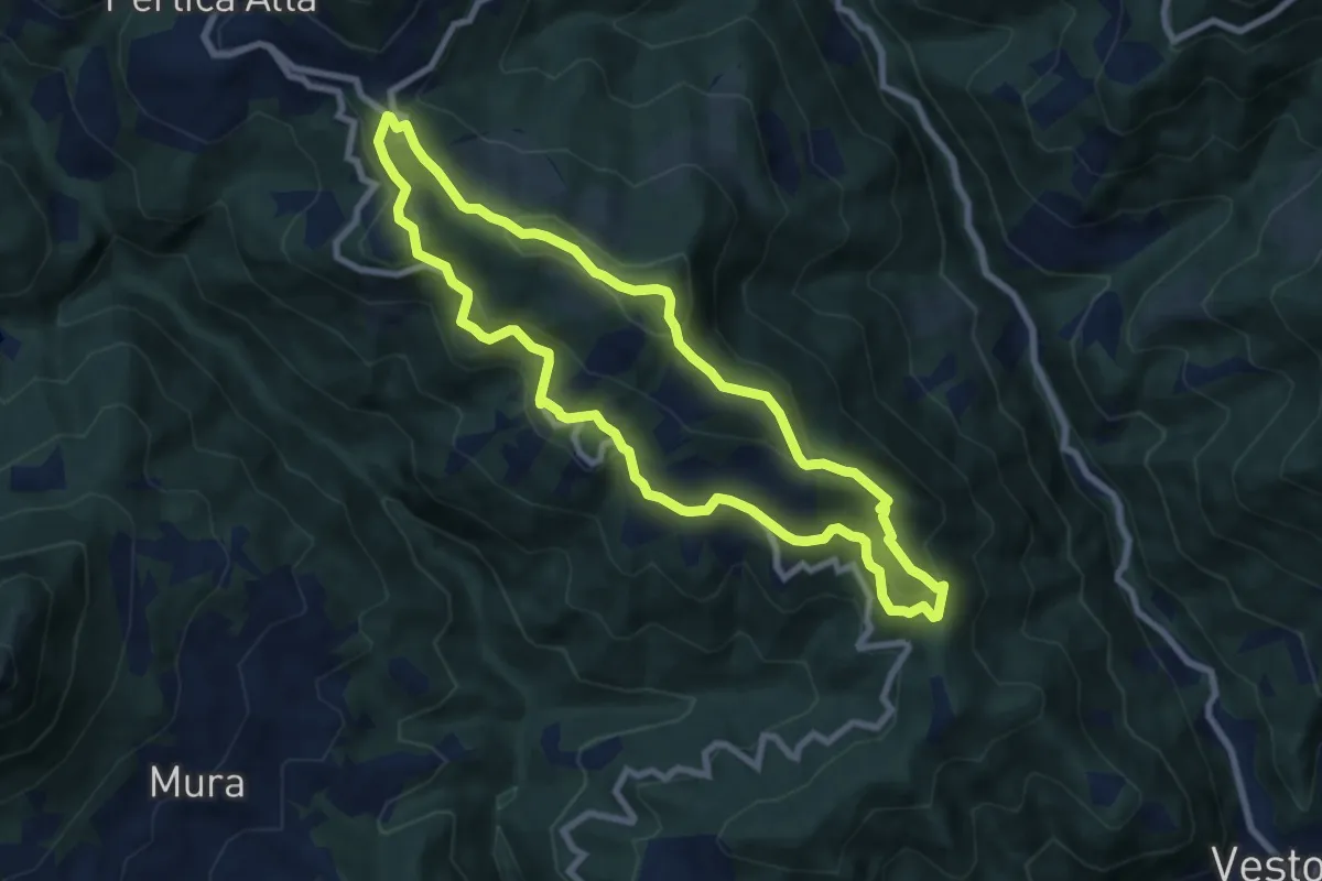
Medium · Summit
Pertica Alta (Belprato - San Bernardo) – San Bernardo
7.8 km · ↑ 404 m · 2 h 49 min · 15 km away
Medium · Summit
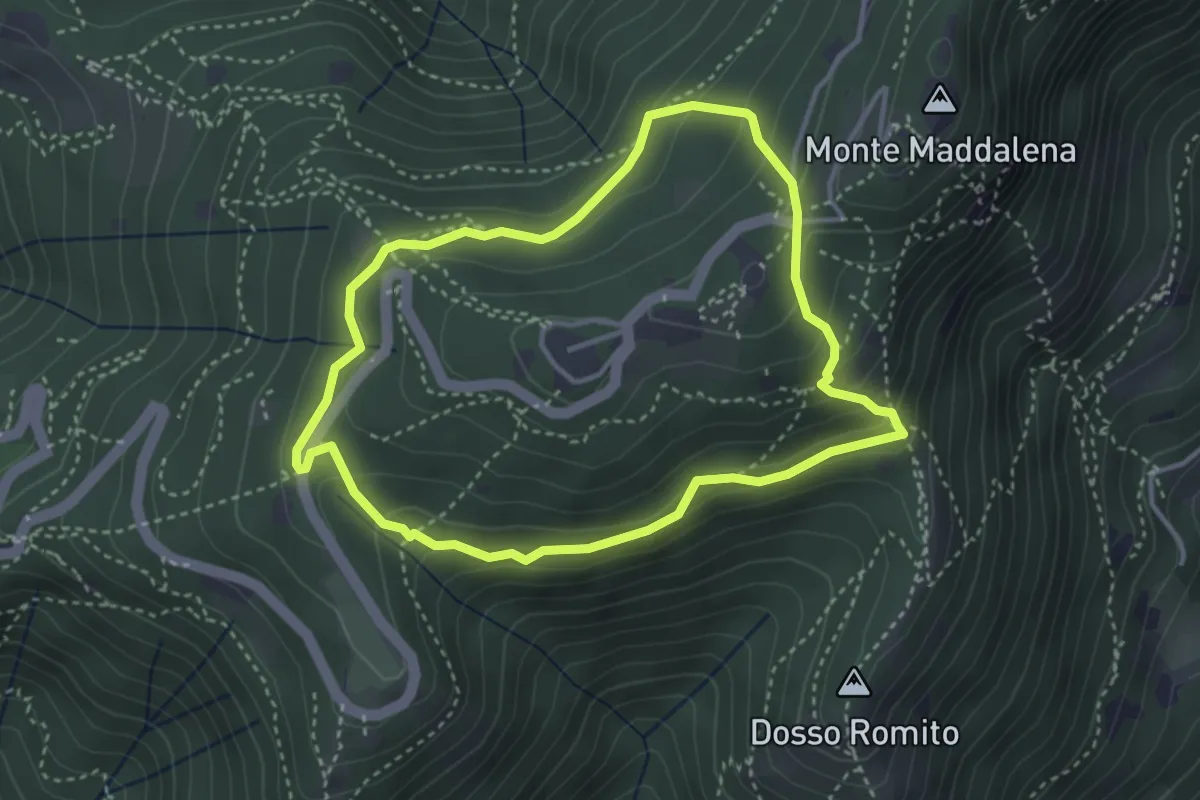
La Via del marmo - Botticino (Molino dell'Ora- Castello di Serle)
4.5 km · ↑ 178 m · 1 h 27 min · 15 km away
Demanding · Trail
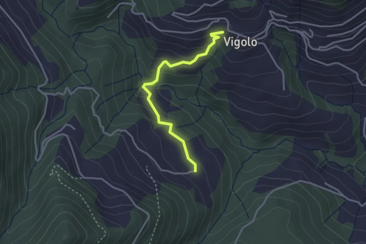
Anello delle Pozze
3.4 km · ↑ 182 m · 1 h 15 min · 15 km away
Easy · Trail
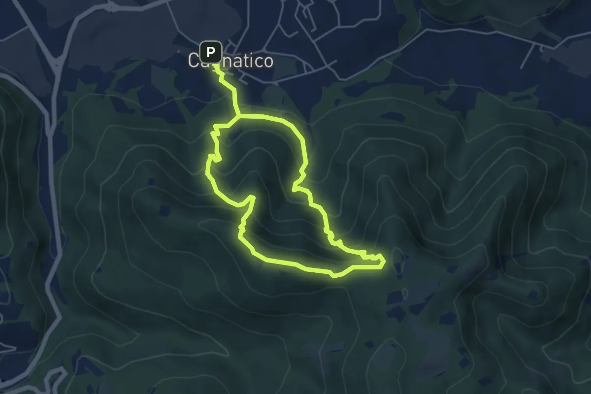
Vigolo – Pressana
2.7 km · ↑ 142 m · 57 min · 15 km away
Medium · Summit
Odolo (Cagnatico) – Cagnatico
3.9 km · ↑ 360 m · 1 h 44 min · 15 km away
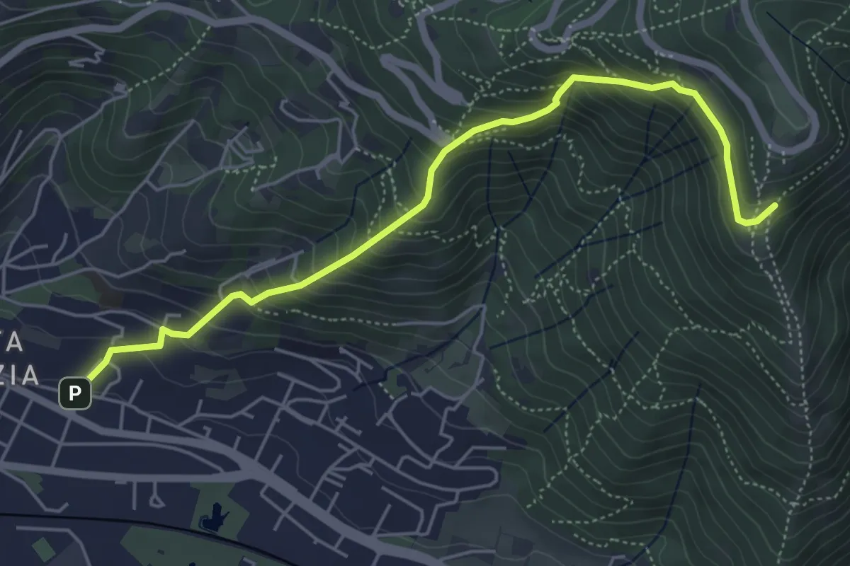
Medium · Trail
Brescia (Via del Canalotto) – Innesto Sentiero 902
5.7 km · ↑ 532 m · 2 h 29 min · 15 km away
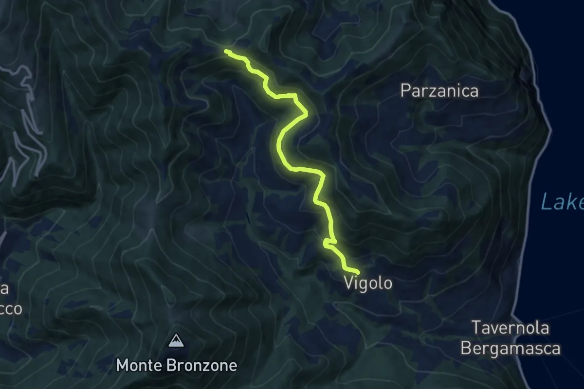
Medium · Trail
Vigolo – Colle Cargadura
9.4 km · ↑ 590 m · 3 h 29 min · 15 km away
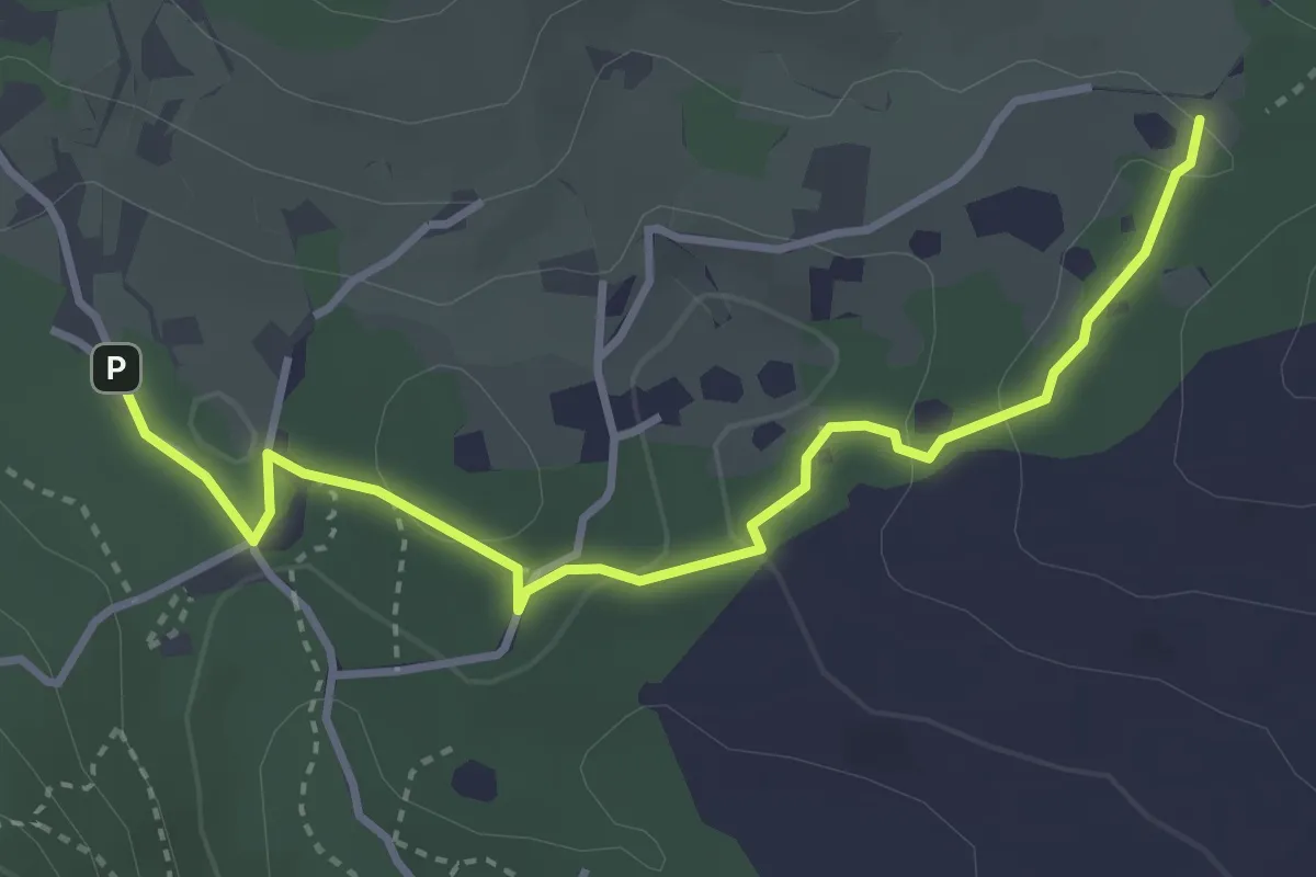
Easy · Trail
Sentiero del Büs del Lat
3.9 km · ↑ 74 m · 1 h 4 min · 15 km away