Trails near Scandicci
105 hikes starting within 15 km, nearest first.
Nearest first, page 1 of 3
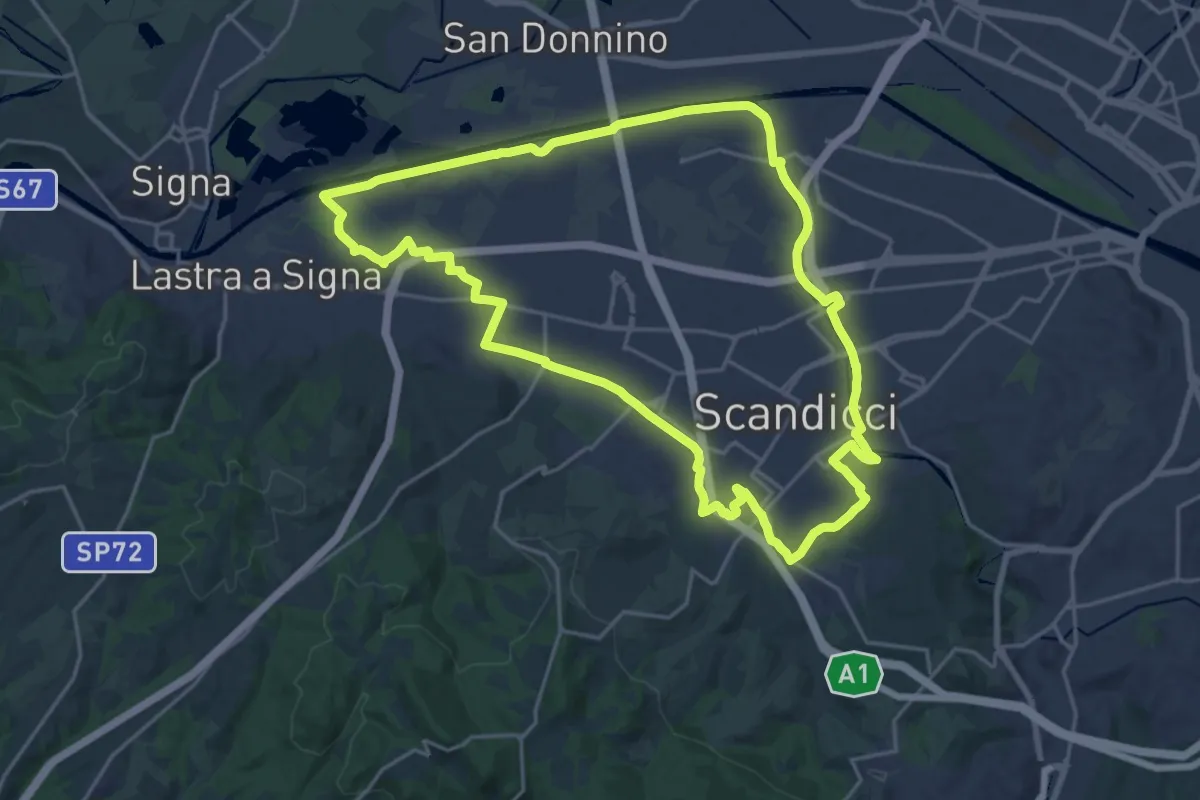
Demanding · Trail
La via dei tre fiumi
22.0 km · ↑ 70 m · 5 h 39 min · 1 km away
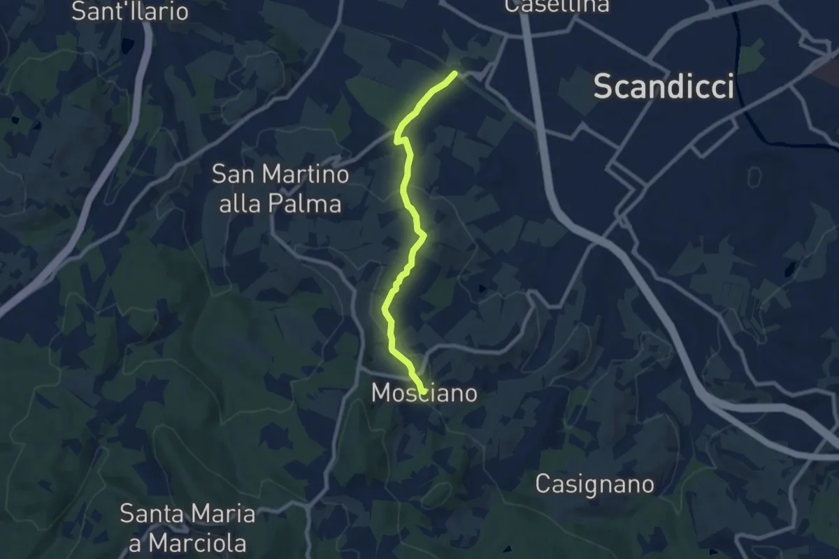
Easy · Trail
ponte del ristoro Scandicci, innesto CAI 746 (3 Fiumi) – Mosciano, innesto sentiero CAI 735
7.0 km · ↑ 188 m · 2 h 3 min · 2 km away
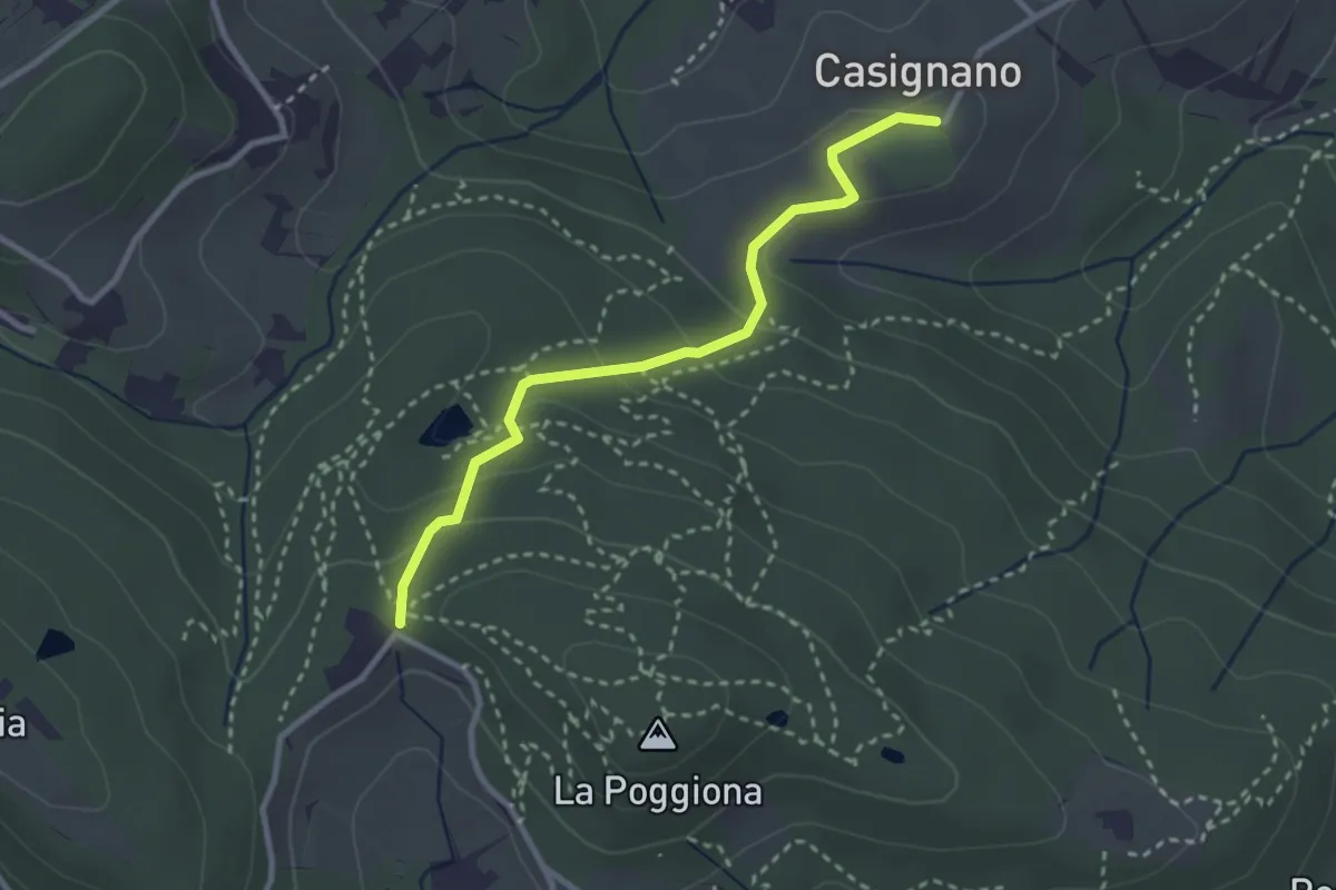
Easy · Trail
Casignano – La Catena
3.0 km · ↑ 126 m · 58 min · 4 km away
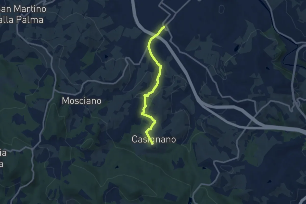
Easy · Trail
Vingone – Casignano (innesto Percorso 736)
6.3 km · ↑ 161 m · 1 h 51 min · 4 km away
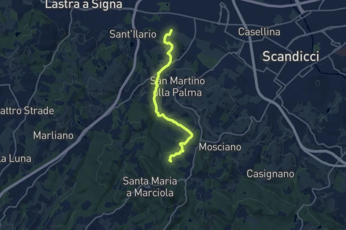
Medium · Trail
sentiero CAI 746 3 fiumi in località Castelpulci - Torrente Vingone – sentiero CAI 734 in località Sevoli
11.6 km · ↑ 315 m · 3 h 25 min · 4 km away
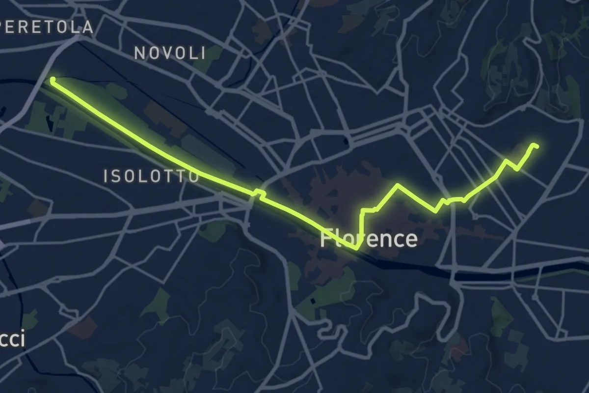
Demanding · Trail
Tappa 6 - Attraverso Firenze
18.6 km · ↑ 58 m · 4 h 31 min · 4 km away
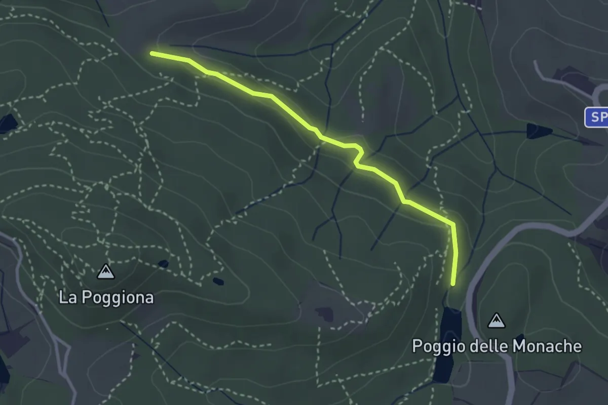
Easy · Trail
Casignano – Lago di Chiesanuova
3.0 km · ↑ 68 m · 51 min · 4 km away
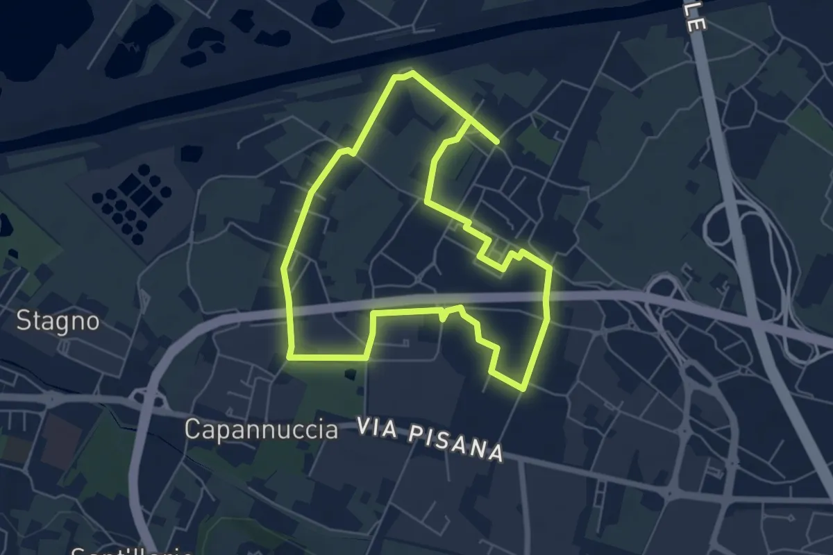
Easy · Trail
Badia a Settimo - Variante sentiero dei 3 Fiumi
5.8 km · ↑ 0 m · 1 h 26 min · 4 km away
Easy · Trail
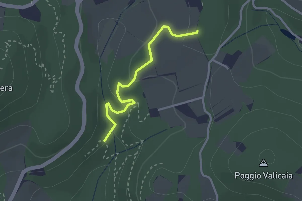
Sentiero 730 (Spazzavento) – Sentiero 732 (Lago delle Ninfee)
2.3 km · ↑ 59 m · 40 min · 5 km away
Medium · Summit
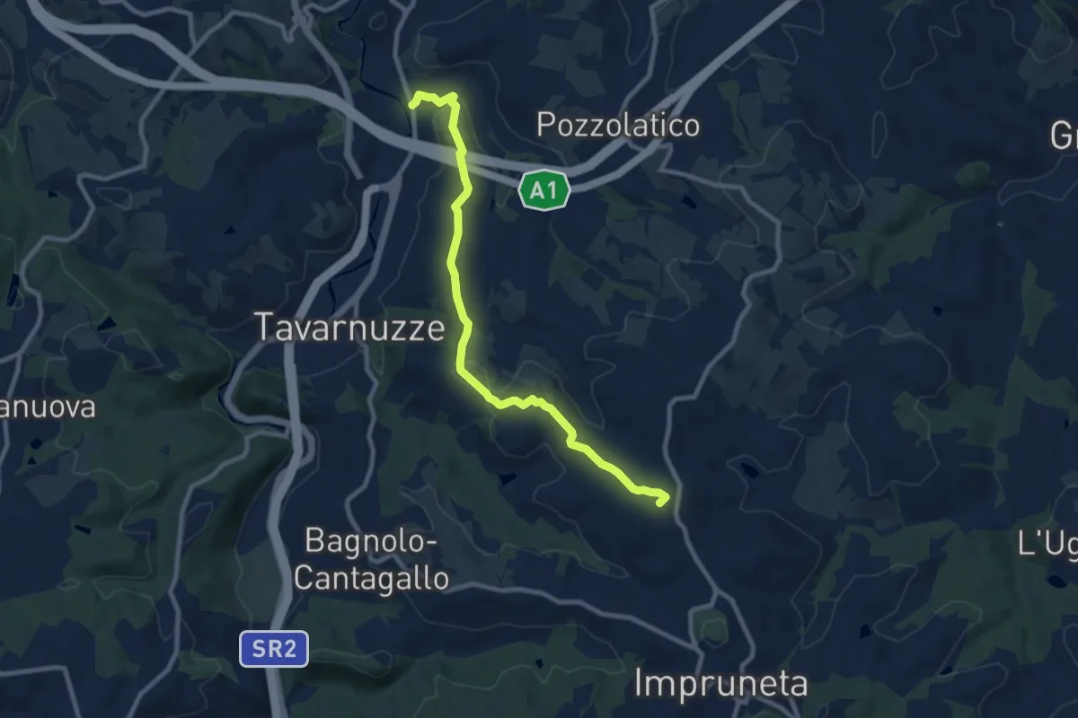
Bottai – Impruneta
9.6 km · ↑ 257 m · 2 h 50 min · 5 km away
Medium · Trail
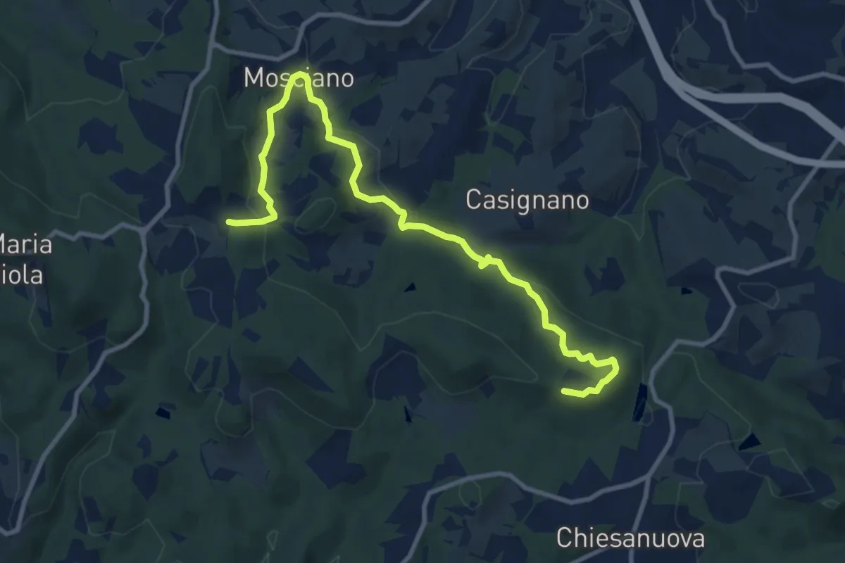
Sentiero 730 (Podere Leone) – Il Cerro
10.7 km · ↑ 364 m · 3 h 19 min · 5 km away
Easy · Summit
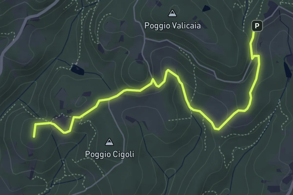
Castellare – Poggio Valicaia
6.3 km · ↑ 220 m · 1 h 57 min · 5 km away
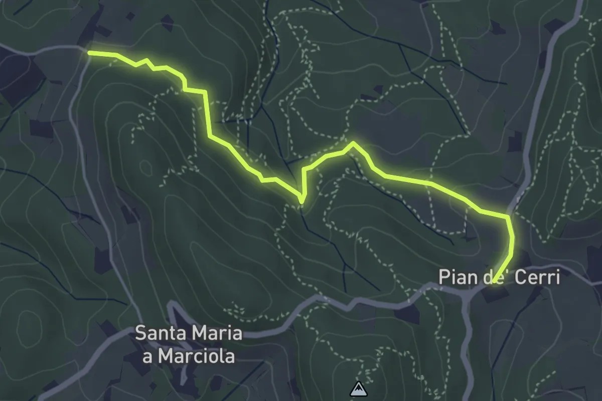
Easy · Trail
Pian de' Cerri – Roncigliano
4.9 km · ↑ 122 m · 1 h 25 min · 5 km away
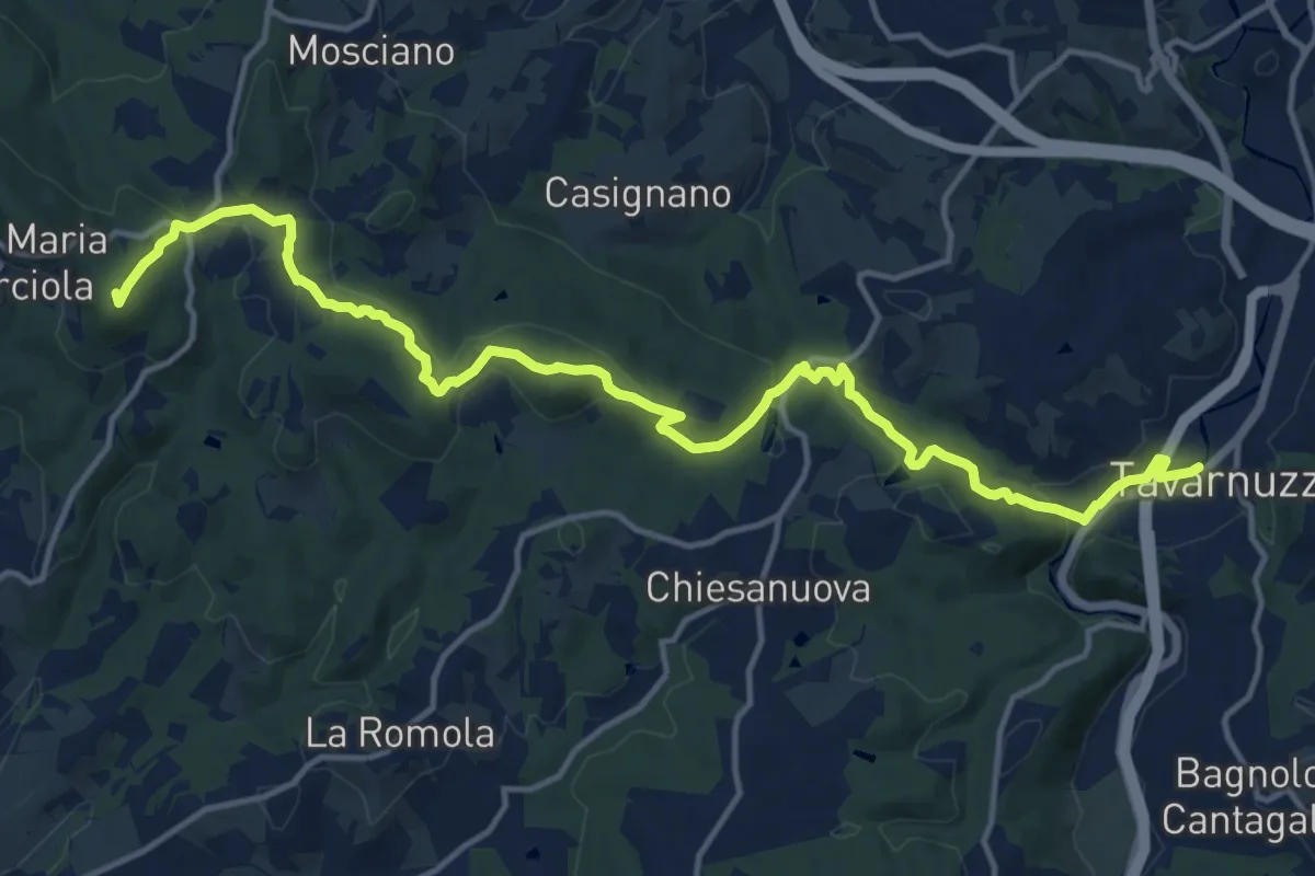
Medium · Summit
Lastra a Signa – Tavarnuzze
17.9 km · ↑ 527 m · 5 h 22 min · 6 km away
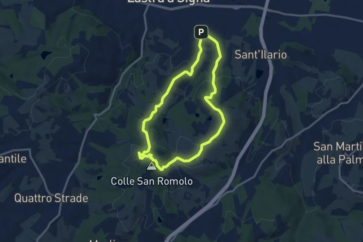
Easy · Summit
Anello di San-Romolo
6.6 km · ↑ 247 m · 2 h 11 min · 6 km away
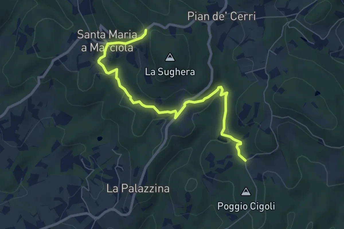
Easy · Trail
Le Calle – Le Croci
7.3 km · ↑ 237 m · 2 h 14 min · 6 km away
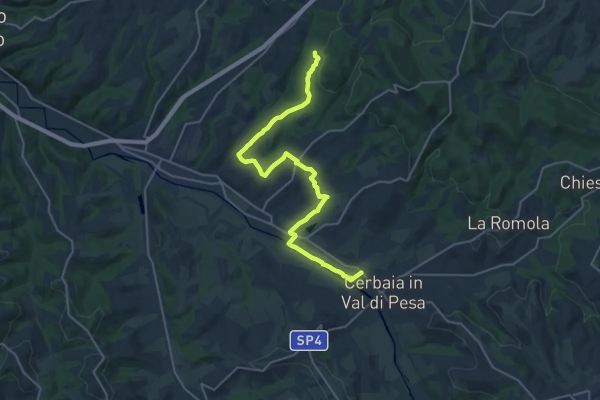
Demanding · Trail
Castellare – Roveta
18.2 km · ↑ 334 m · 5 h 1 min · 7 km away
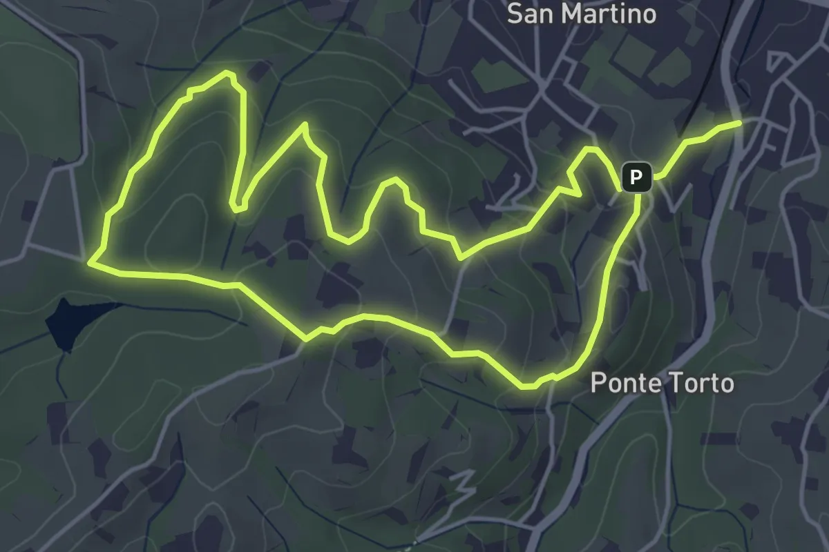
Easy · Trail
Anello Villa Caruso
4.9 km · ↑ 243 m · 1 h 46 min · 7 km away
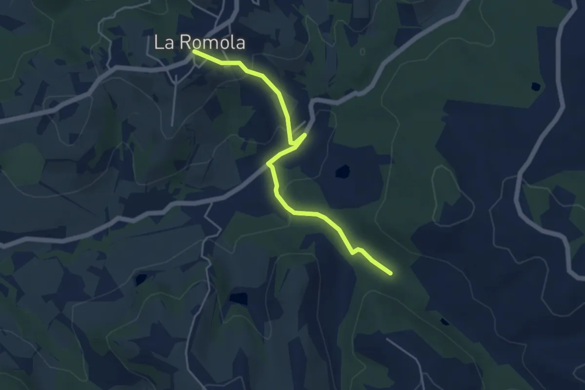
Easy · Trail
Romola Sequoia Sugana
4.2 km · ↑ 141 m · 1 h 18 min · 7 km away
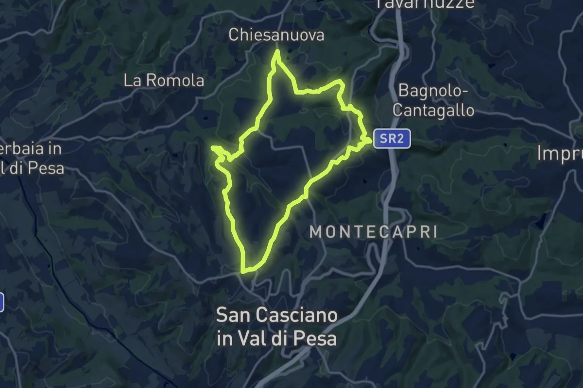
Medium · Trail
Anello del Principe
12.6 km · ↑ 326 m · 3 h 51 min · 7 km away
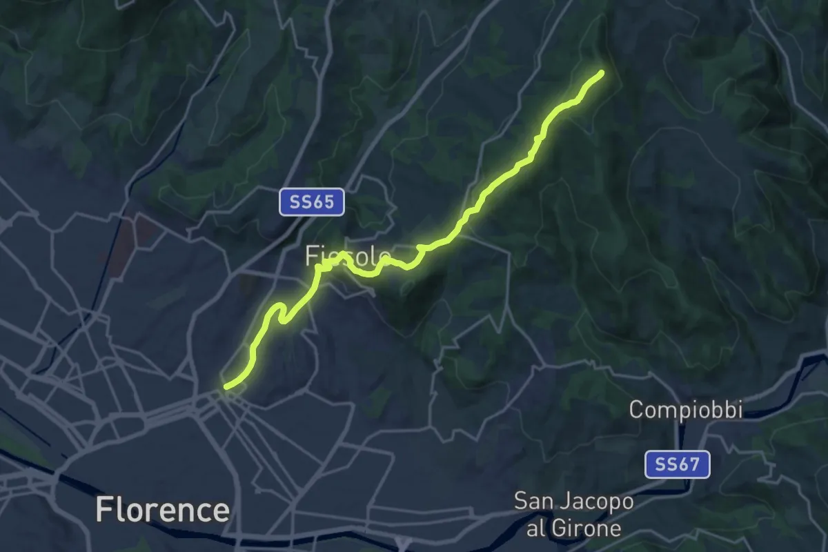
Demanding · Summit
Via degli Dei: Tappa 6
20.1 km · ↑ 708 m · 6 h 17 min · 8 km away
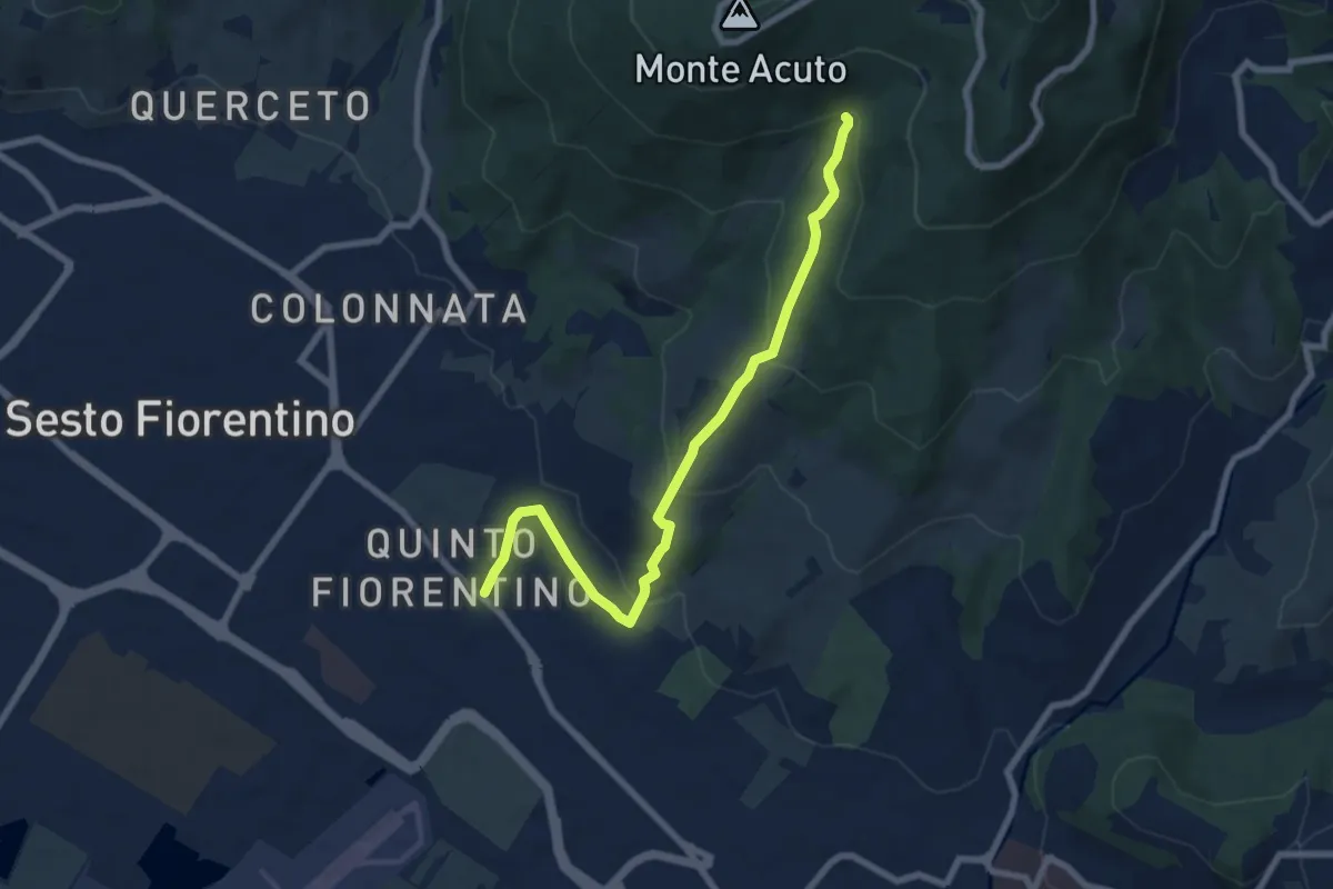
Medium · Trail
Parcheggio campo Atletica (m. 60) – Ponte Spartimoglie (m. 380 - sent. 3)
8.1 km · ↑ 355 m · 2 h 41 min · 8 km away
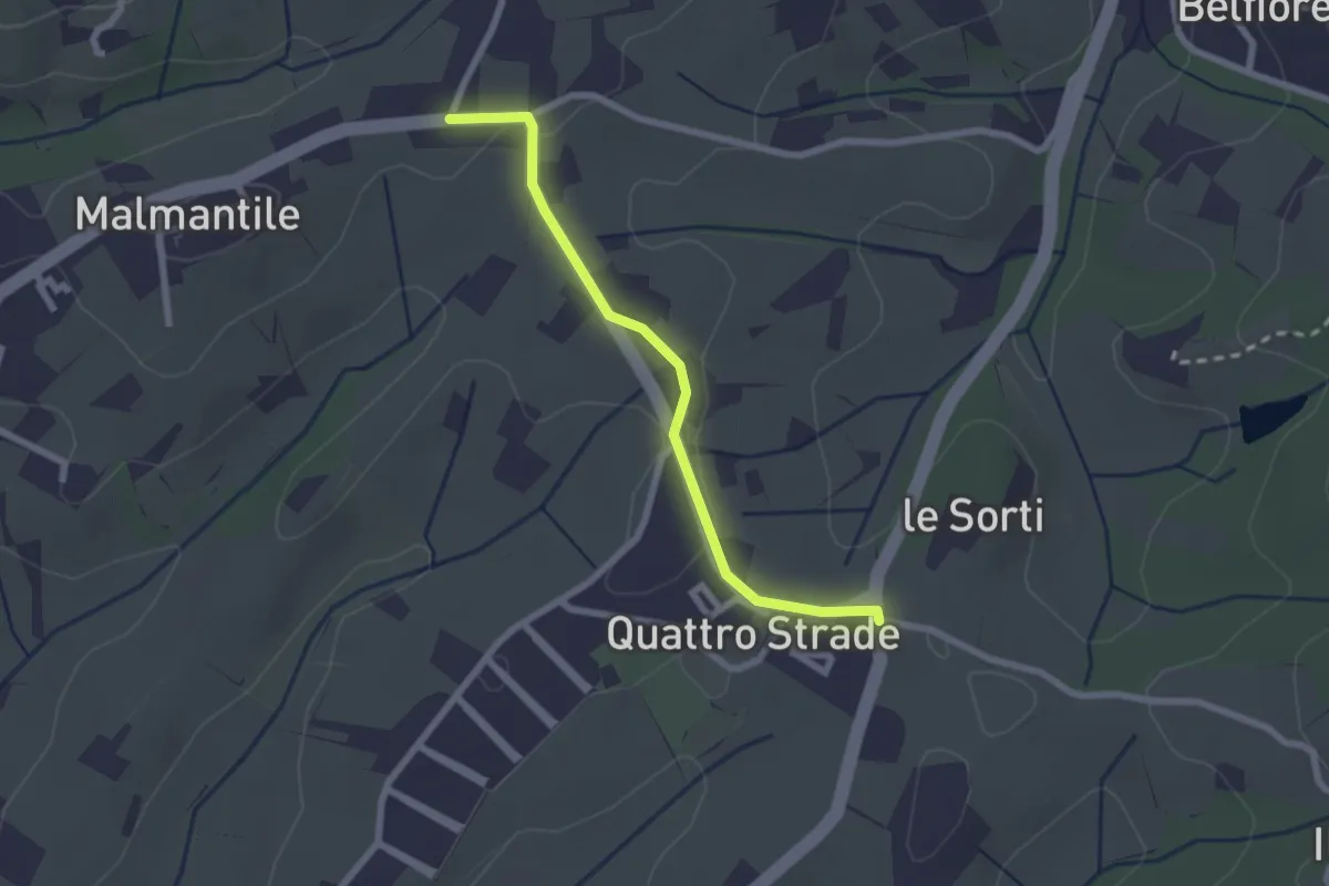
Easy · Trail
Innesto sentiero741, incrocio Via Vecchia Pisana con Via S. Salvadore – Innesto sentiero CAI 745, incrocio Via Maremmana con Via del Pollaiolo
2.4 km · ↑ 36 m · 38 min · 8 km away
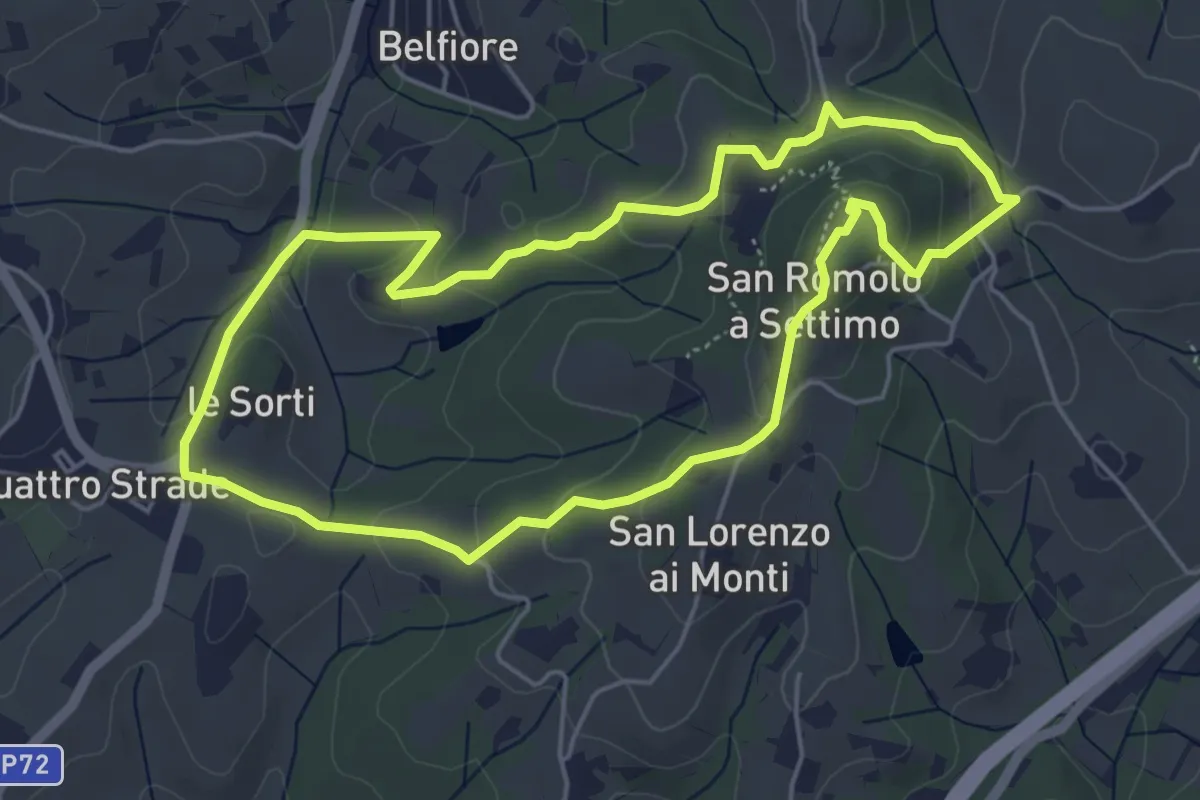
Easy · Summit
Anello della Guerrina
5.2 km · ↑ 181 m · 1 h 42 min · 8 km away
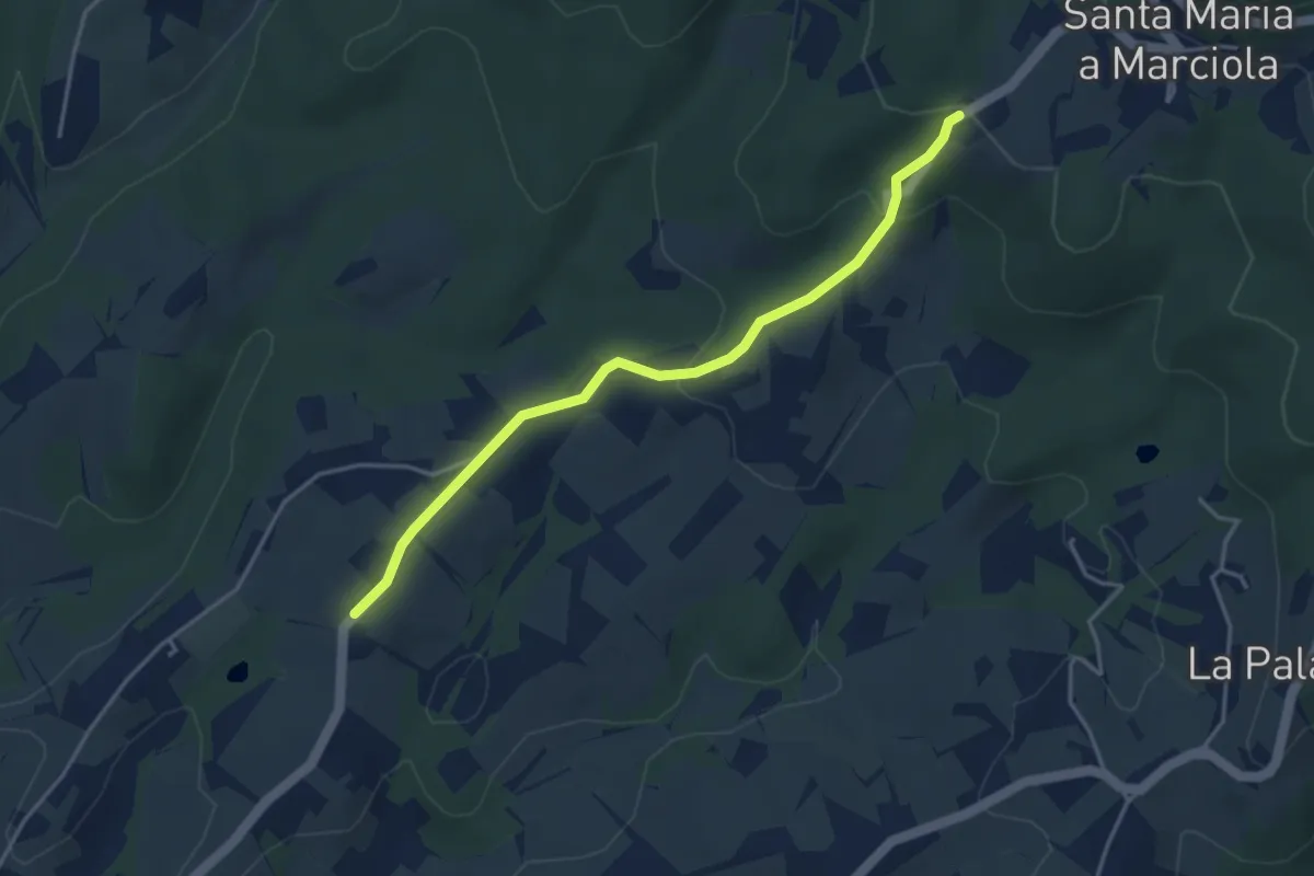
Easy · Trail
Bivio Azienda agricola Brunelli, innesto CAI 740 – Località San Niccolò a Torri, innesto CAI 731
4.2 km · ↑ 129 m · 1 h 16 min · 8 km away
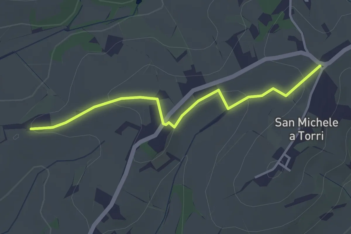
Easy · Trail
San Michele a Torri – innesto 731 - Mulinaccio
3.2 km · ↑ 69 m · 55 min · 8 km away
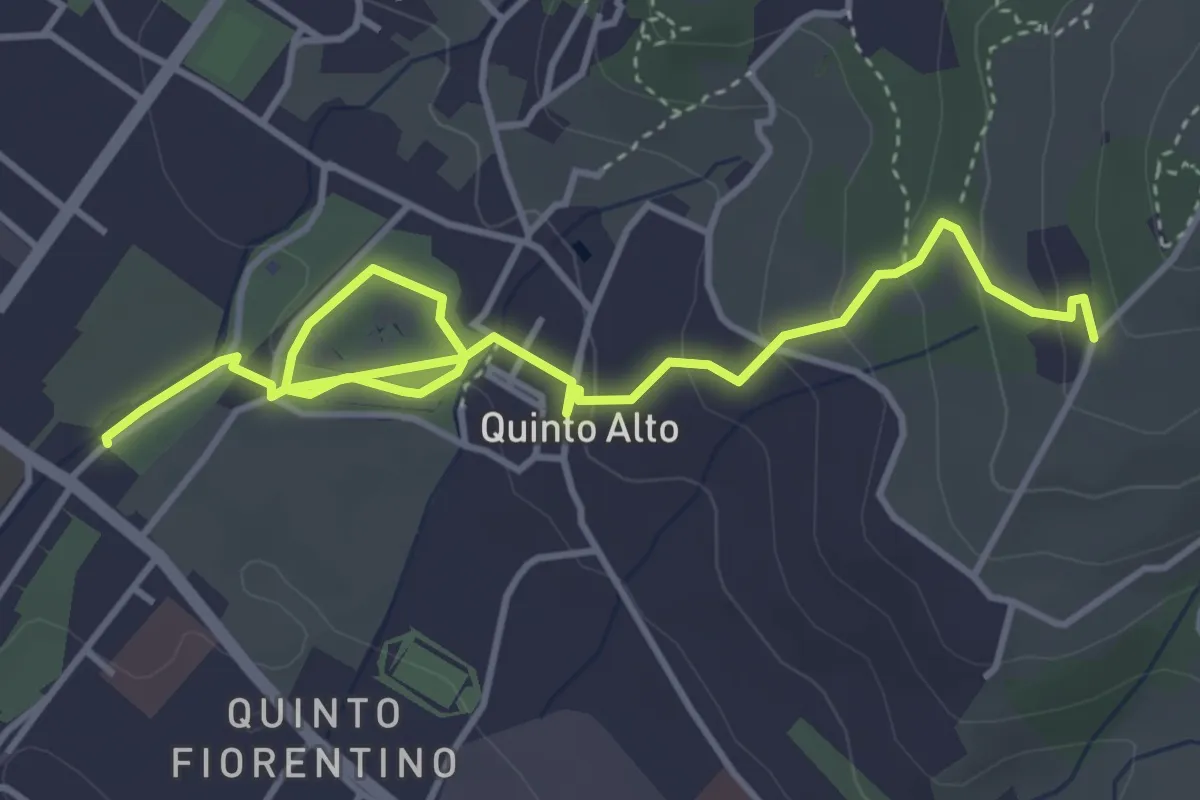
Easy · Trail
Parcheggio via Gramsci – Sentiero 4 (quota 250 m)
5.4 km · ↑ 182 m · 1 h 41 min · 8 km away
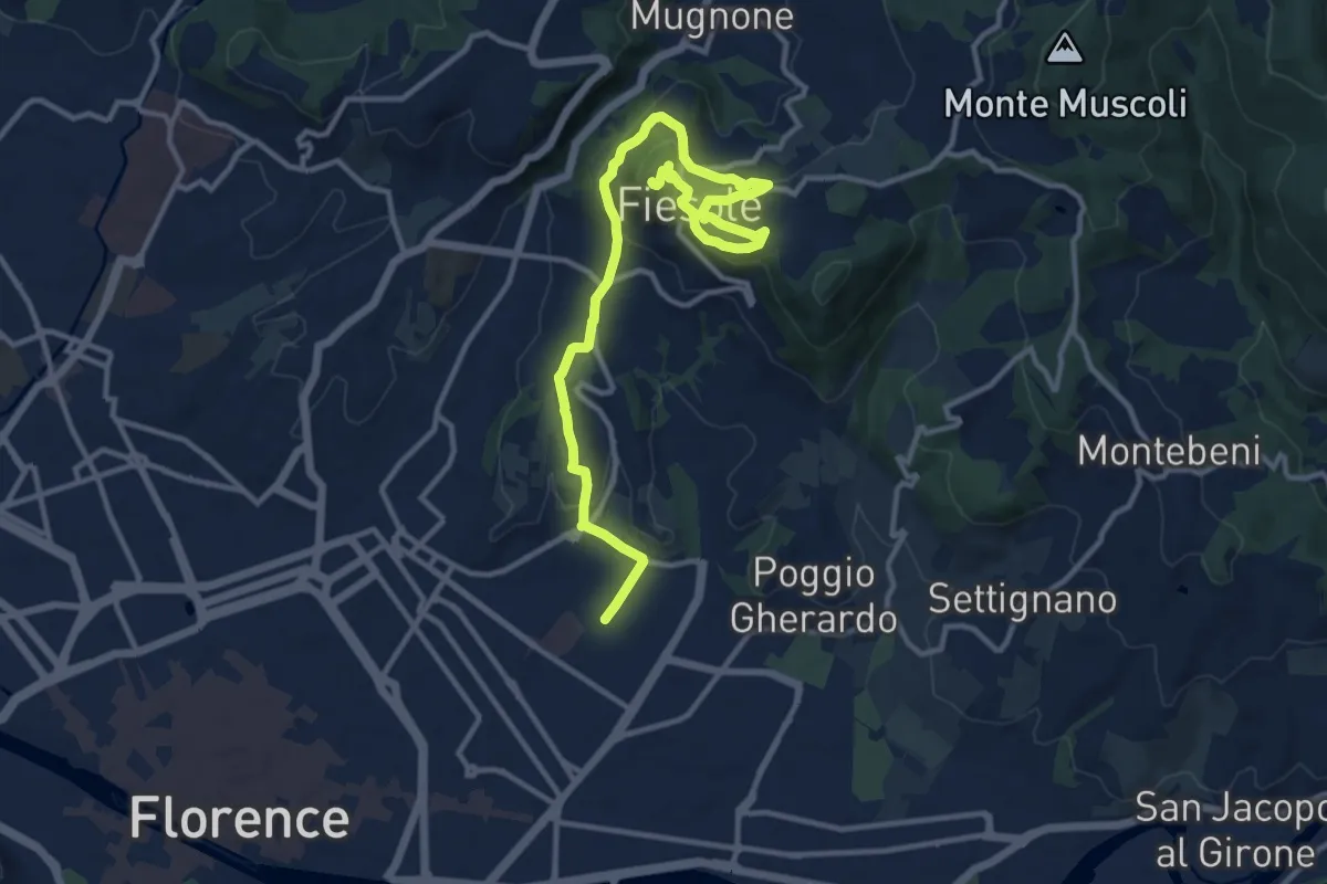
Medium · Summit
Tappa 7 - Da Firenze a Fiesole
15.1 km · ↑ 507 m · 4 h 39 min · 9 km away
Easy · Summit
Anello di Lecceto
7.5 km · ↑ 199 m · 2 h 18 min · 9 km away
Medium · Trail
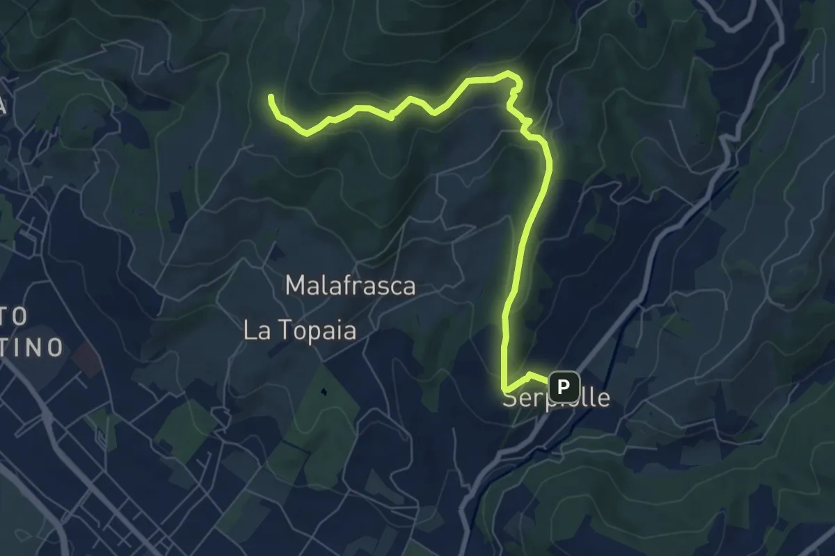
Serpiolle – Quota 328 sentiero 4
7.9 km · ↑ 360 m · 2 h 39 min · 9 km away
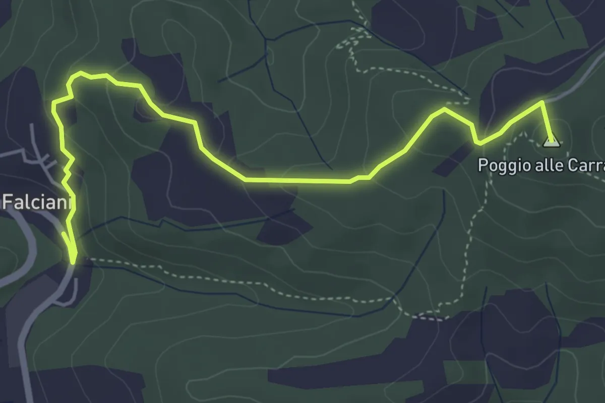
Easy · Summit
Falciani – Impruneta
5.3 km · ↑ 220 m · 1 h 44 min · 9 km away
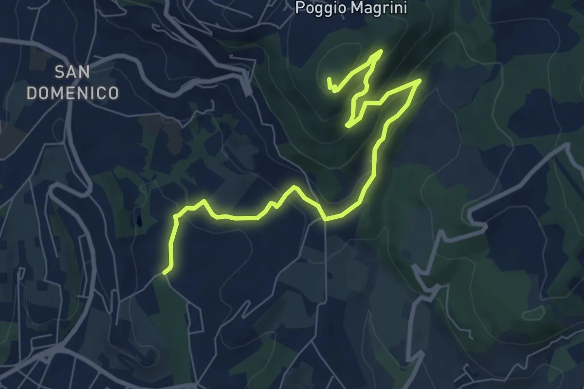
Medium · Summit
Salviatino – Monte Ceceri
8.2 km · ↑ 388 m · 2 h 46 min · 9 km away
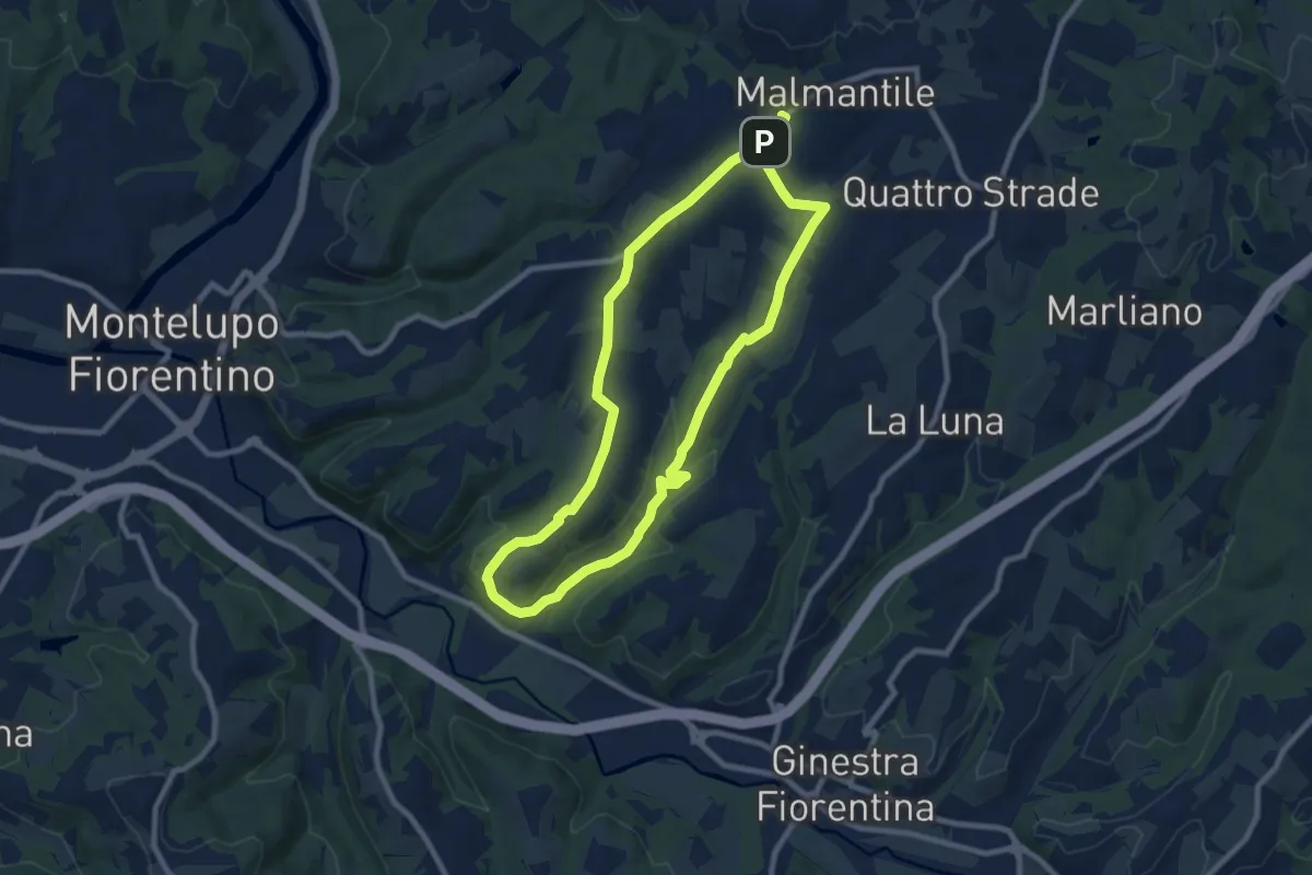
Medium · Trail
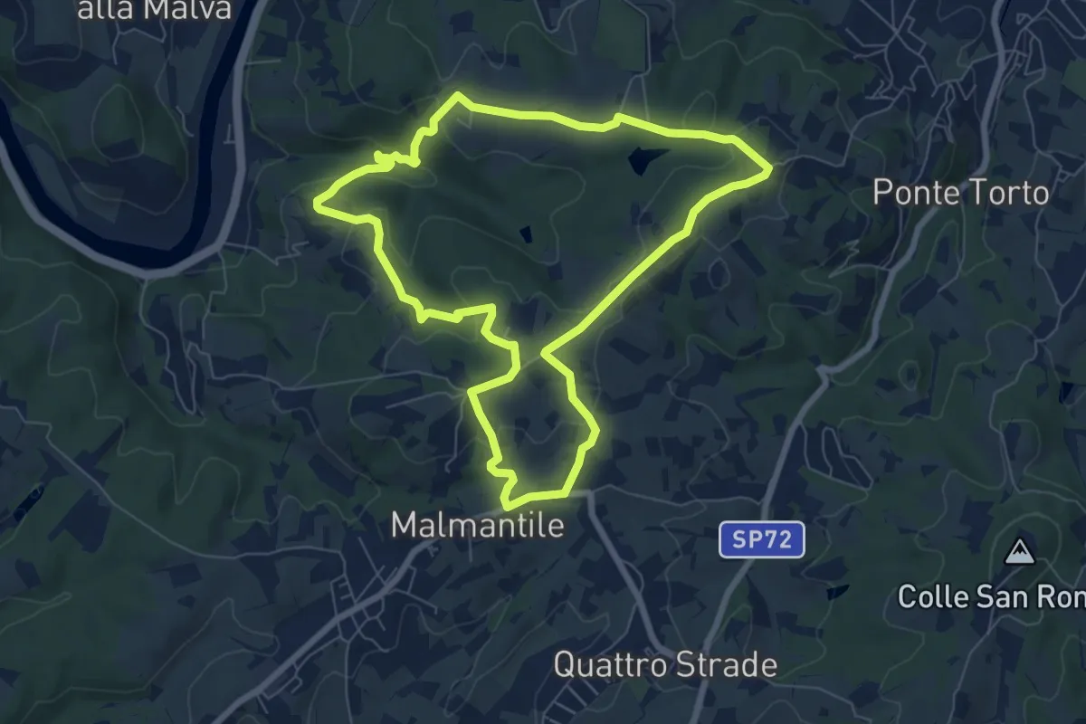
Malmantile – Malmantile
8.5 km · ↑ 145 m · 2 h 26 min · 9 km away
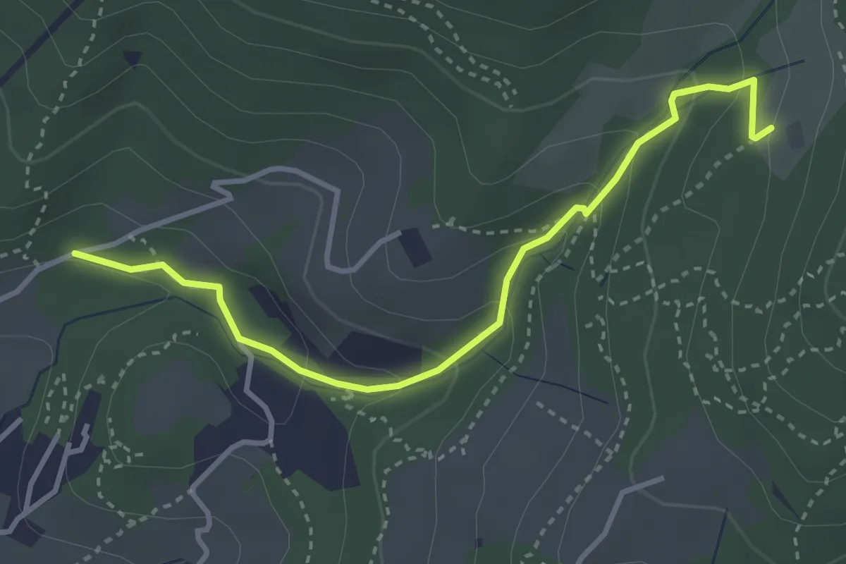
Easy · Trail
Colonnata – Carmignanello
3.6 km · ↑ 202 m · 1 h 18 min · 10 km away
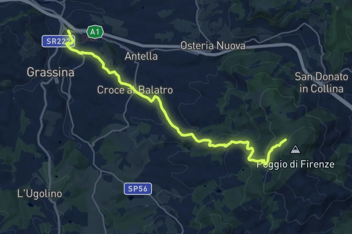
Demanding · Cabin
Ponte a Ema – Sorgente Fonte Santa
18.1 km · ↑ 559 m · 5 h 30 min · 10 km away
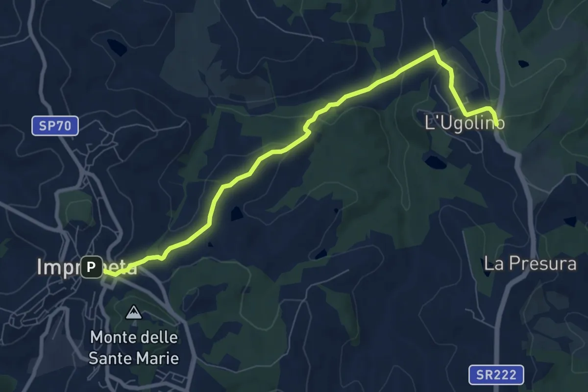
Medium · Trail
L'Ugolino – Impruneta
8.4 km · ↑ 269 m · 2 h 34 min · 10 km away
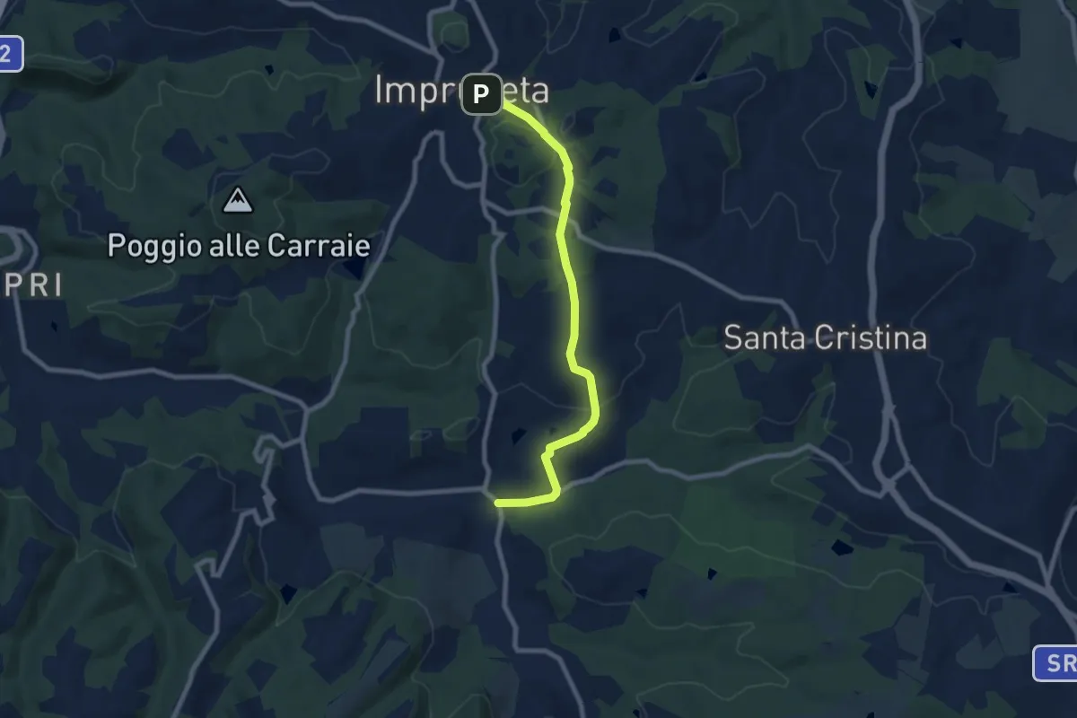
Medium · Trail
Il Ferrone – Impruneta
8.1 km · ↑ 191 m · 2 h 20 min · 10 km away
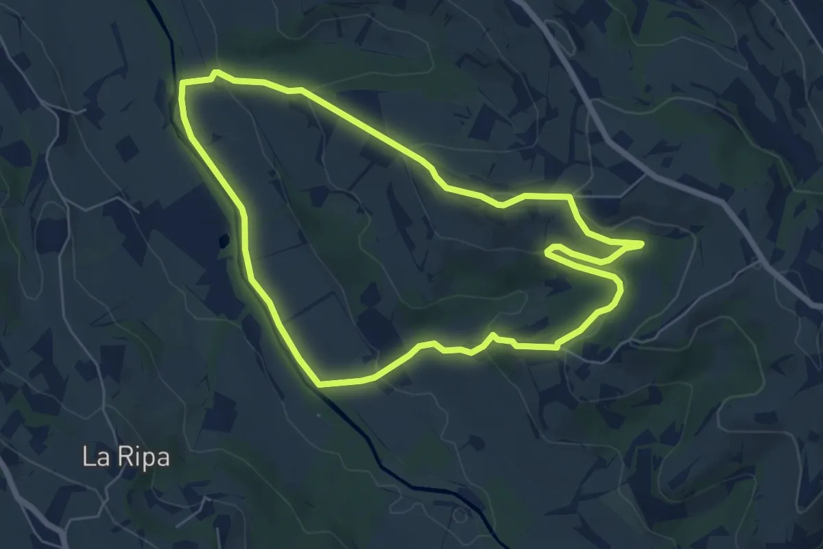
Easy · Trail
Anello di Montepaldi
6.4 km · ↑ 171 m · 1 h 59 min · 10 km away
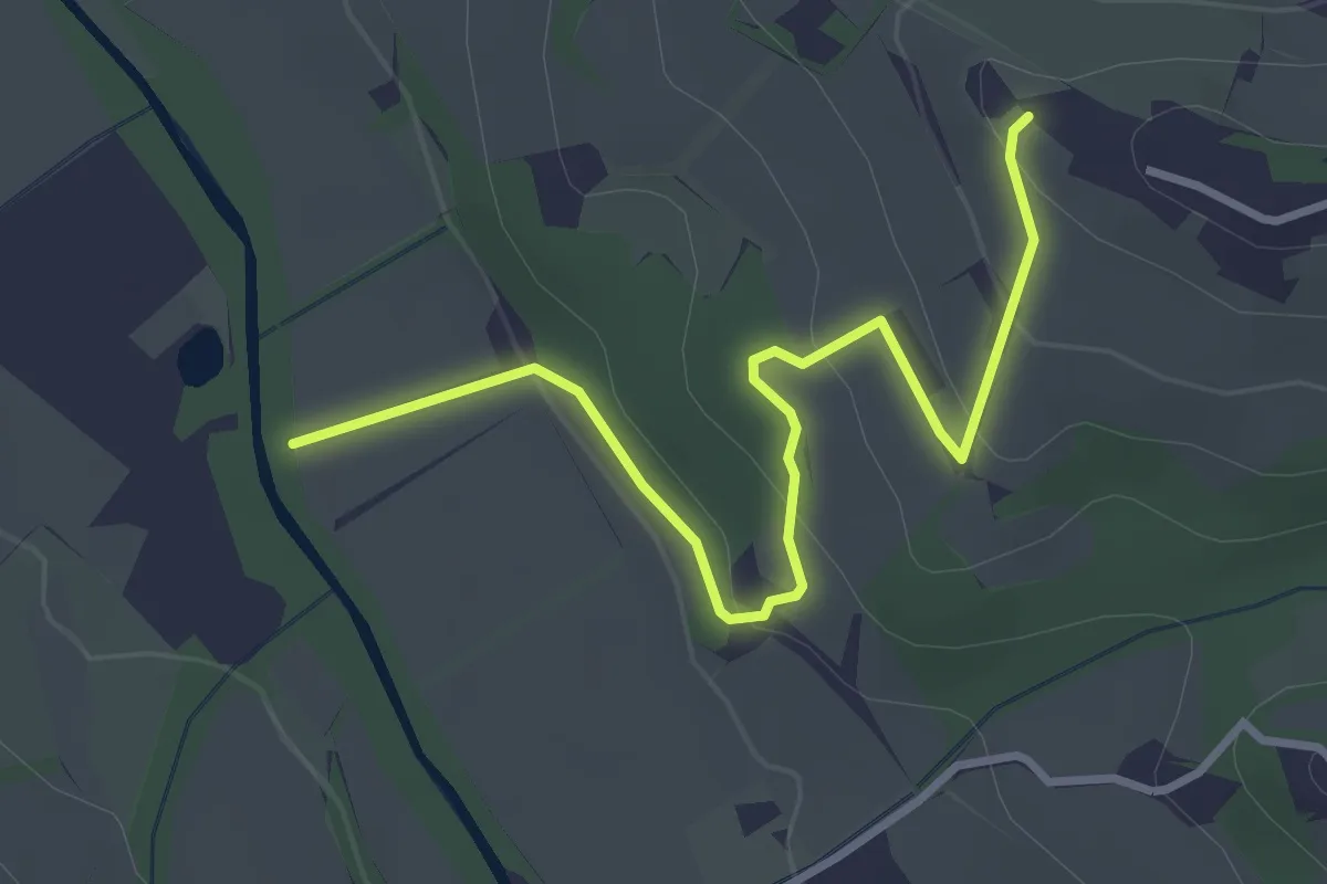
Easy · Trail
Colombaia – Torrente Pesa
3.7 km · ↑ 133 m · 1 h 10 min · 10 km away
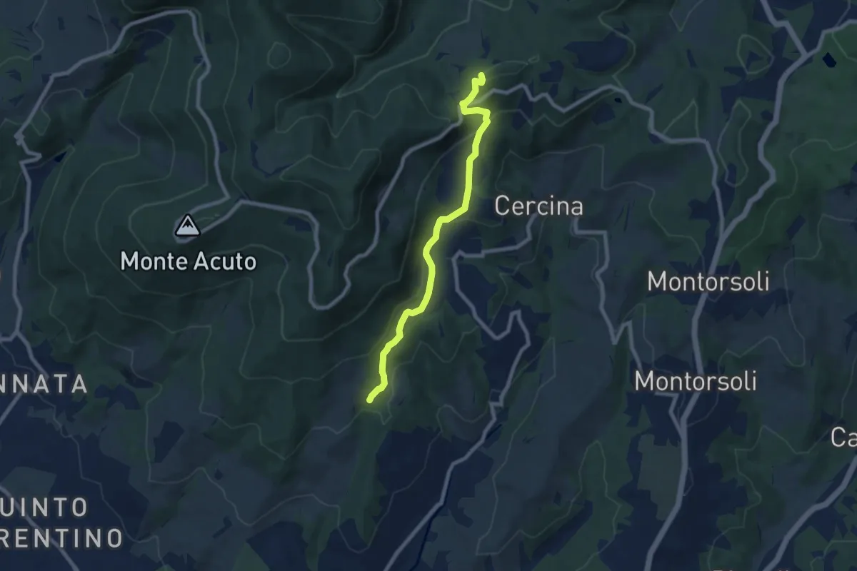
Medium · Summit
Percorso 5 – Caselline
7.5 km · ↑ 344 m · 2 h 31 min · 10 km away
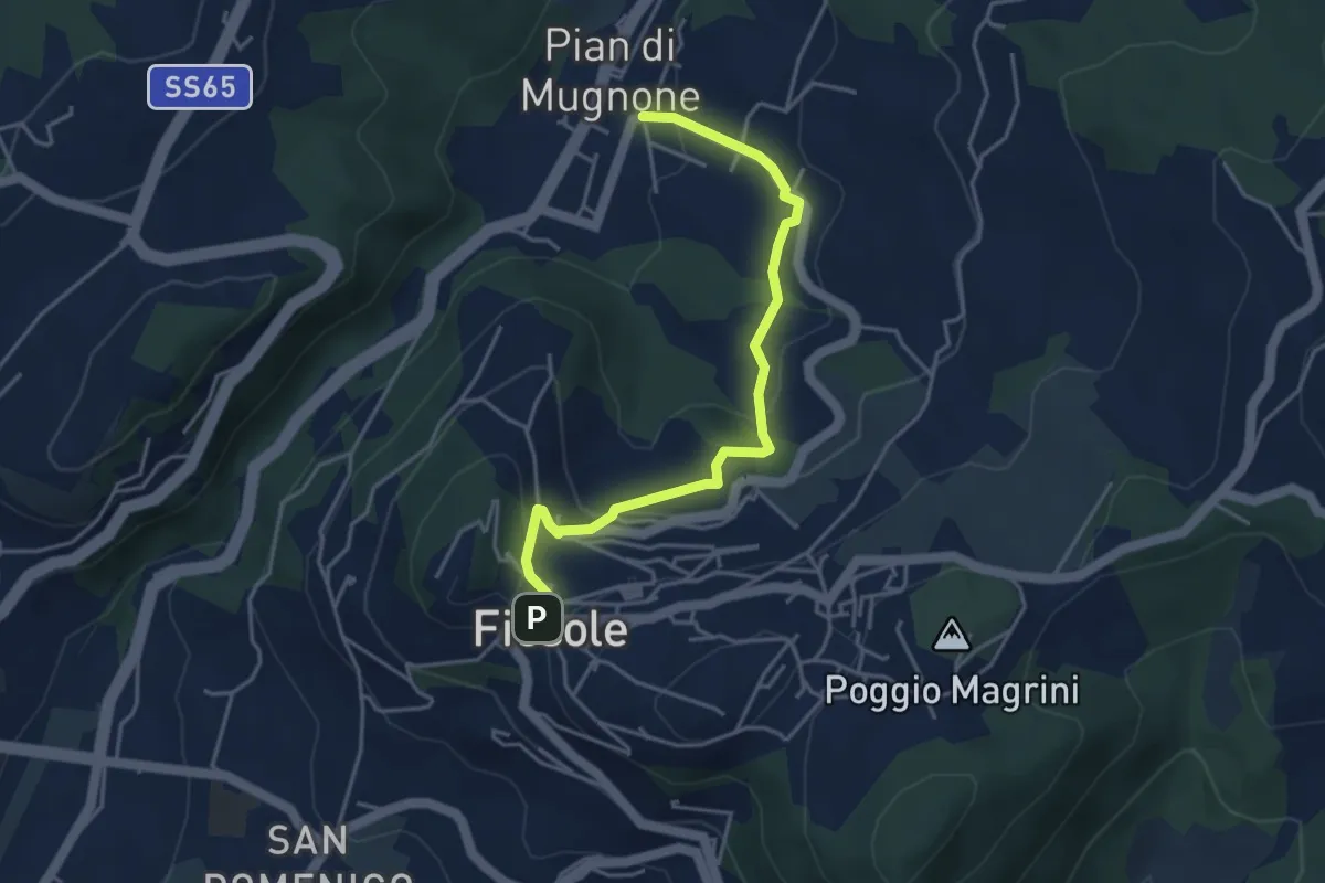
Easy · Trail
Fiesole – Indicatorio
4.4 km · ↑ 177 m · 1 h 26 min · 10 km away
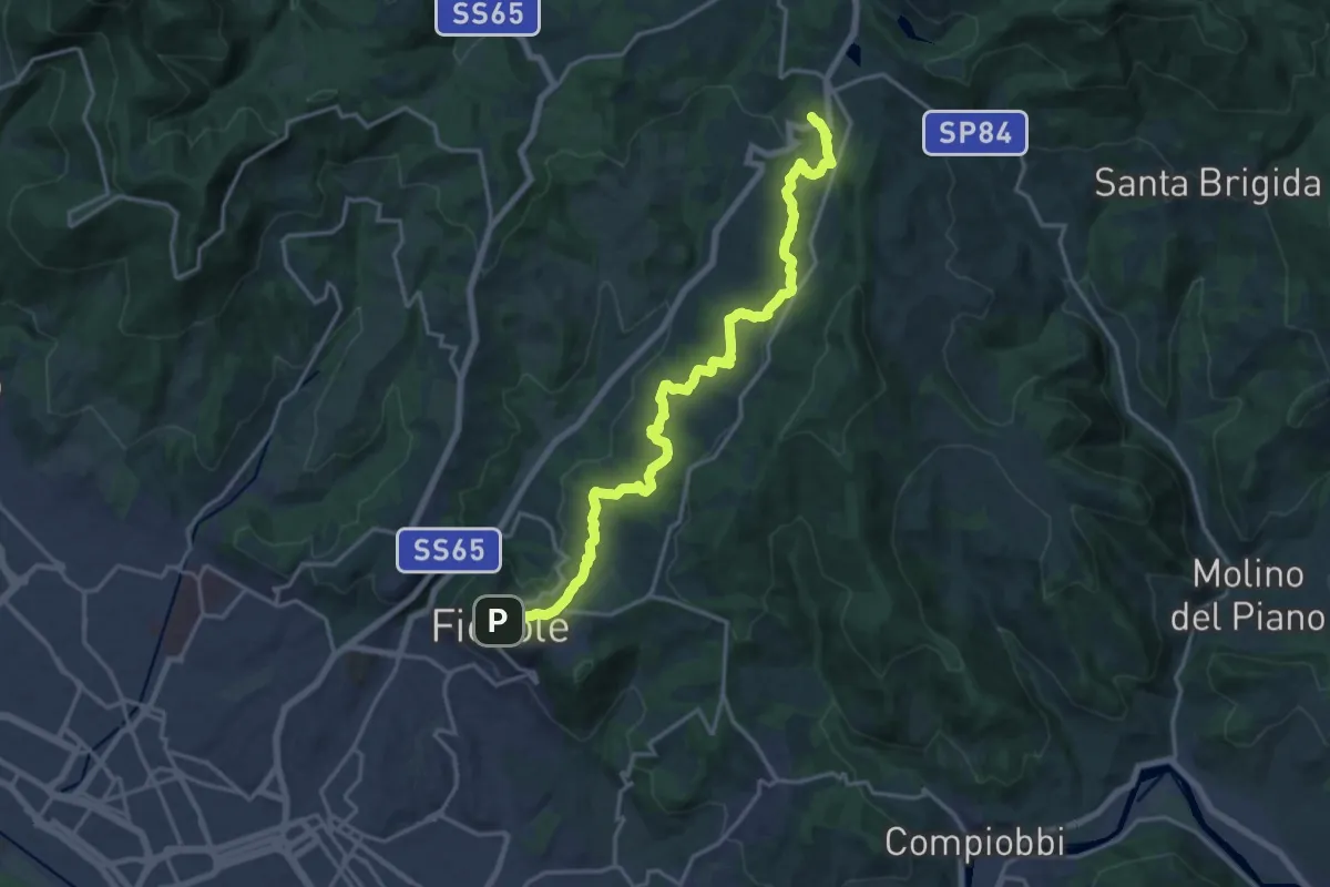
Demanding · Trail
Fiesole – Sentiero 00
19.7 km · ↑ 654 m · 6 h 4 min · 10 km away
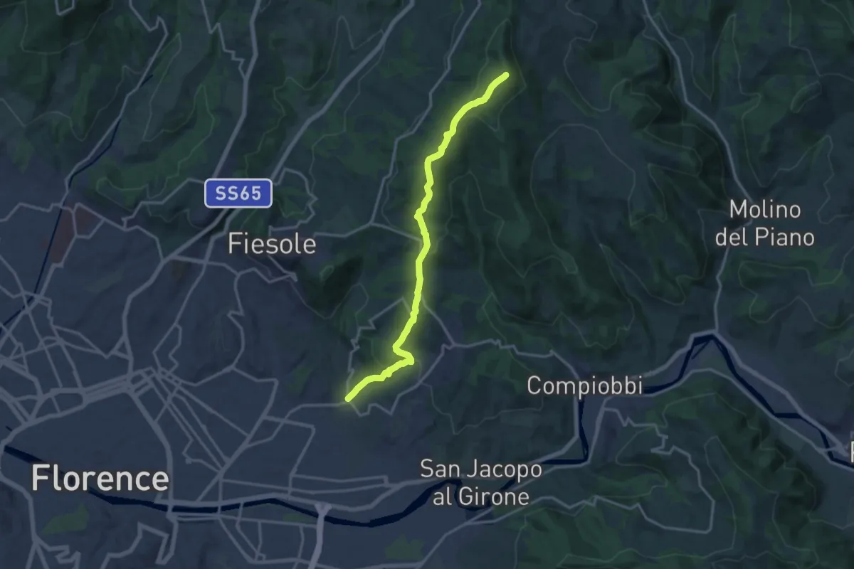
Medium · Summit
Ponte a Mensola – Vetta le Croci
15.2 km · ↑ 644 m · 4 h 59 min · 10 km away
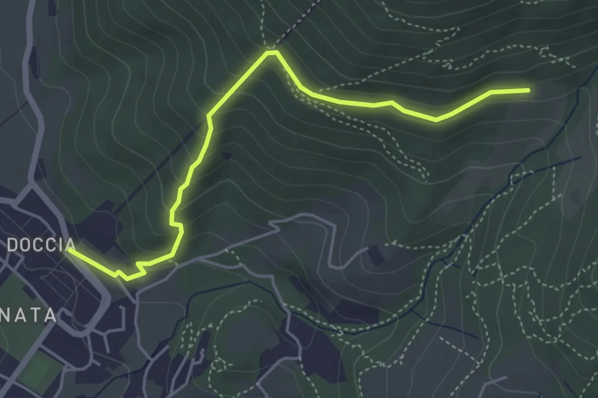
Easy · Trail
Colonnata – Casa Solatio
4.7 km · ↑ 288 m · 1 h 45 min · 10 km away
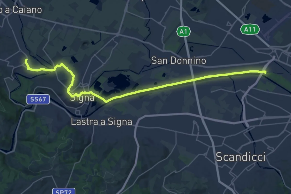
Demanding · Trail
Tappa 5 - Da Comeana a Firenze
26.8 km · ↑ 177 m · 6 h 42 min · 11 km away
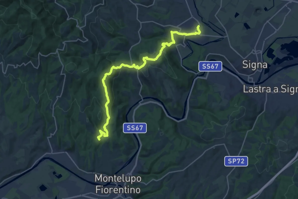
Demanding · Summit
Tappa 4 - Da Montereggi a Comeana
21.9 km · ↑ 781 m · 6 h 52 min · 11 km away
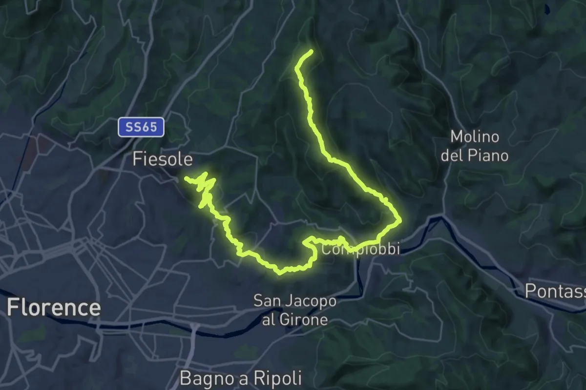
Demanding · Summit
Olmo – Fiesole
37.8 km · ↑ 1561 m · 12 h 18 min · 11 km away
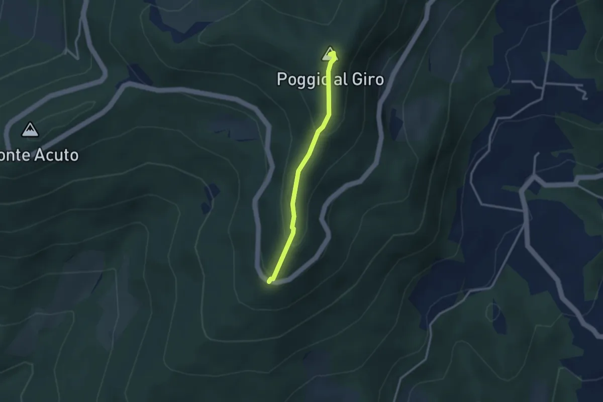
Easy · Summit
Piazzale L. da Vinci – Poggio al Giro
2.4 km · ↑ 164 m · 56 min · 11 km away