Trails near Scandicci
105 hikes starting within 15 km, nearest first.
Nearest first, page 2 of 3
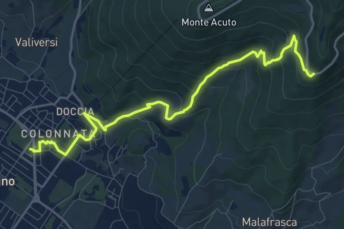
Medium · Trail
Colonnata – Piazzale Leonardo da Vinci
10.9 km · ↑ 516 m · 3 h 41 min · 11 km away
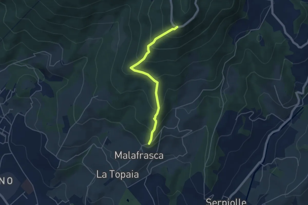
Medium · Trail
Via di Malafrasca – Piazzale L. da Vinci
4.2 km · ↑ 329 m · 1 h 42 min · 11 km away
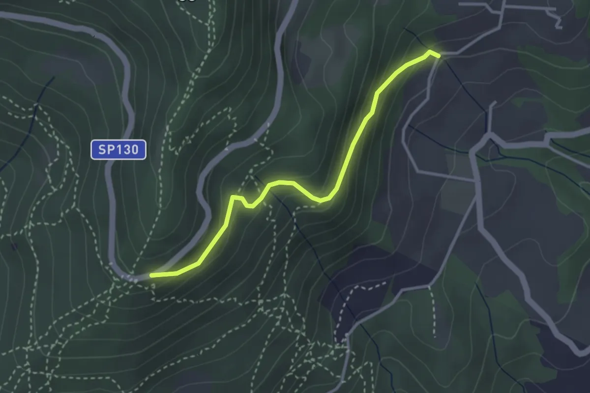
Easy · Trail
Piazzale Leonardo da Vinci – Podere Casaccia
3.1 km · ↑ 193 m · 1 h 9 min · 11 km away
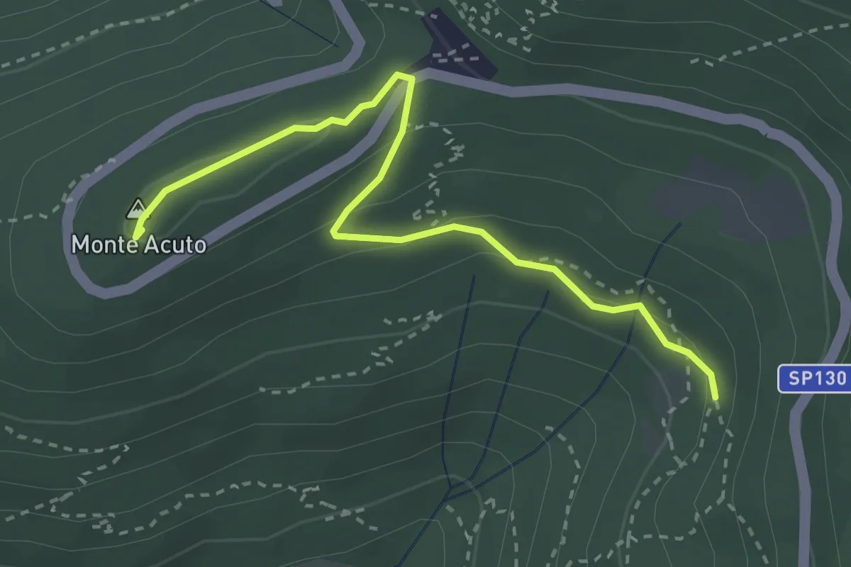
Medium · Summit
Incrocio sentiero 3 – Incrocio sentiero 602
3.3 km · ↑ 101 m · 59 min · 11 km away
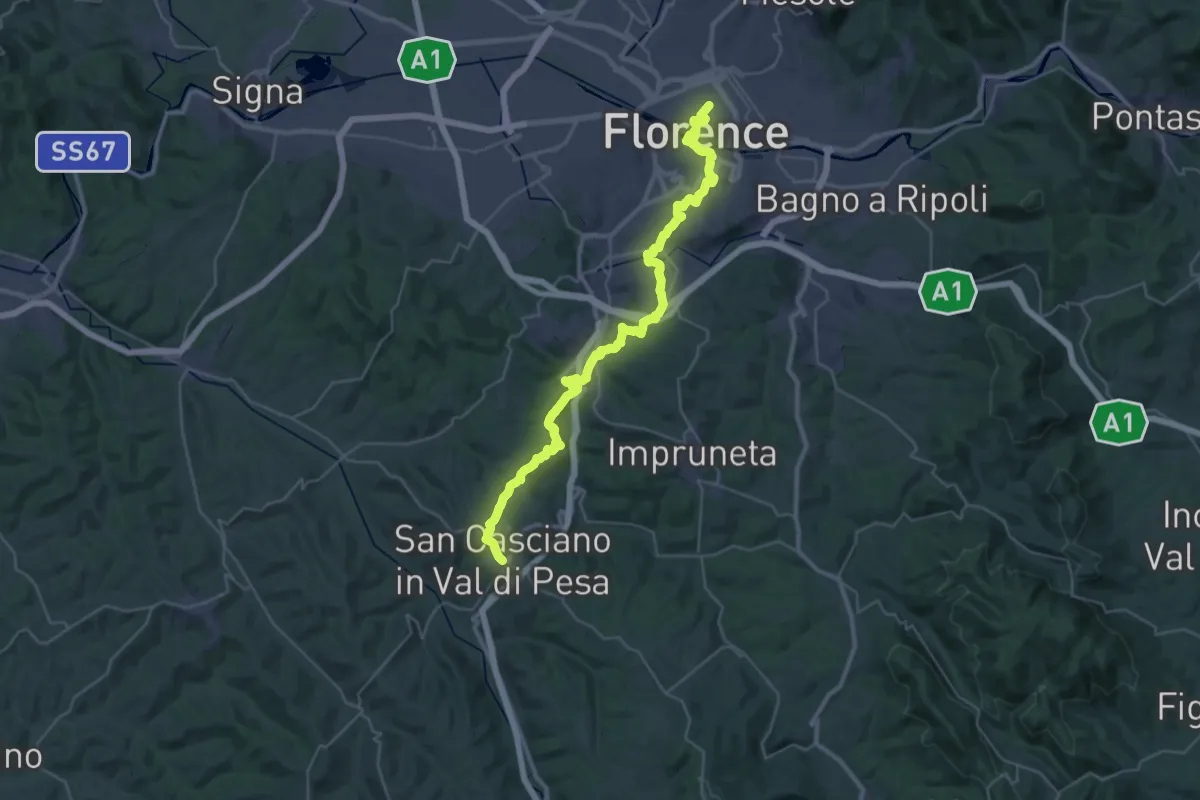
Demanding · Trail
Via Romea Sanese - Tappa 1
22.0 km · ↑ 484 m · 6 h 40 min · 11 km away
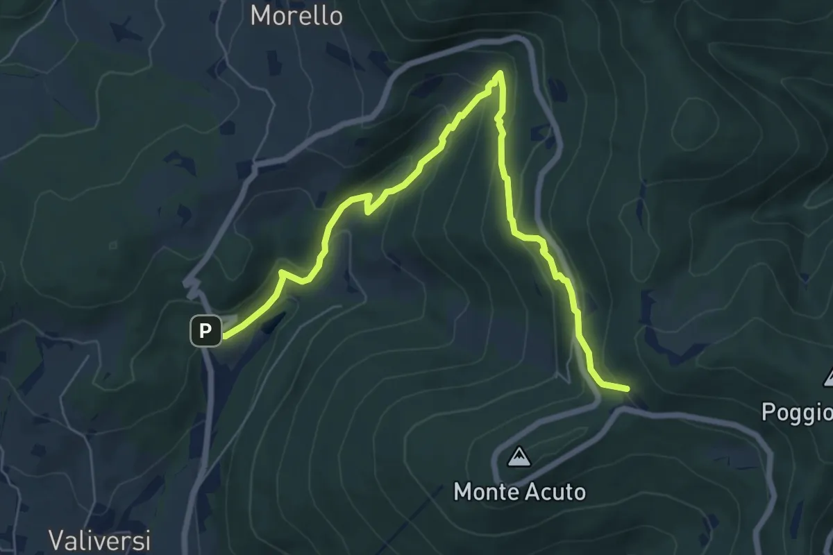
Medium · Trail
Via del Polverificio – Fonte dei Seppi
7.9 km · ↑ 454 m · 2 h 51 min · 11 km away
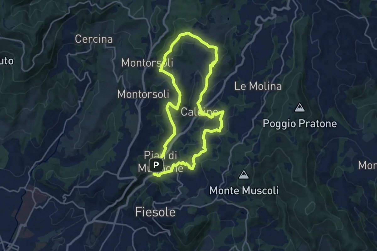
Medium · Summit
Pian di Mugnone – Pian di Mugnone
13.3 km · ↑ 432 m · 4 h 16 min · 11 km away
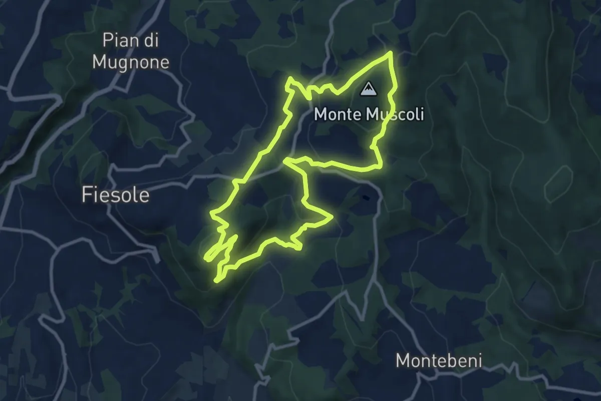
Medium · Summit
Fiesole – Fiesole
9.6 km · ↑ 409 m · 3 h 17 min · 12 km away
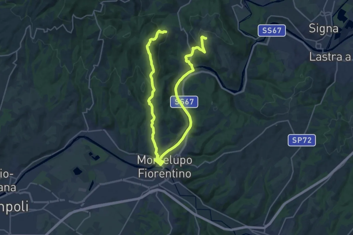
Demanding · Trail
Anello di Capraia e Montelupo
26.9 km · ↑ 586 m · 7 h 37 min · 12 km away
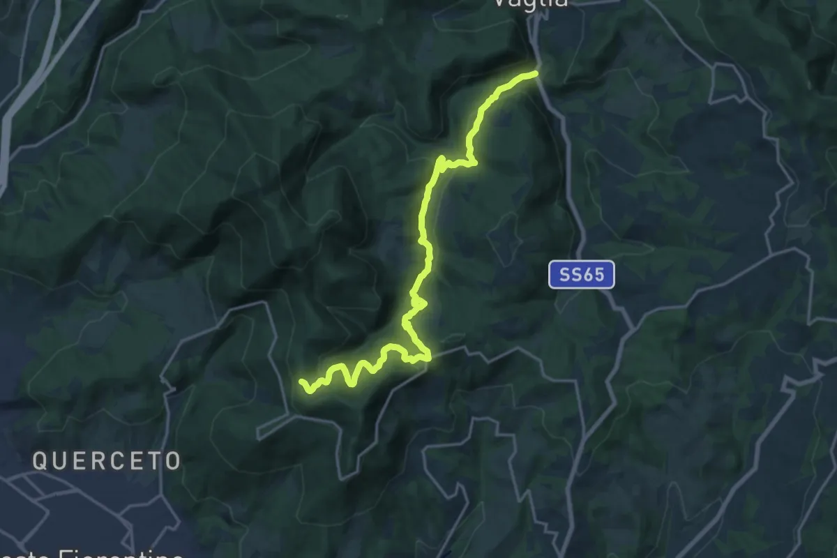
Demanding · Trail
S.S. 65 - Paterno – Sella degli Scollini
19.0 km · ↑ 751 m · 6 h 7 min · 12 km away
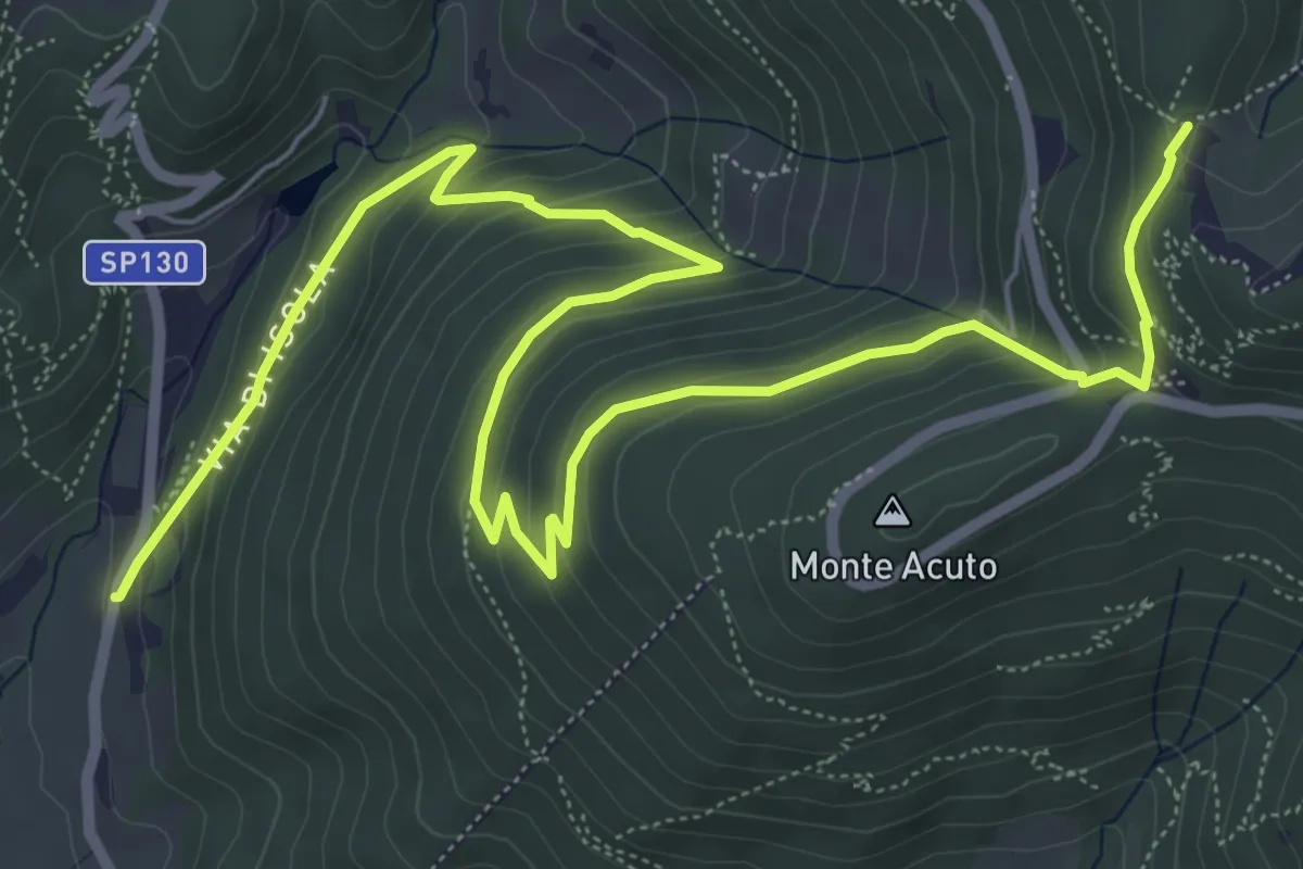
Medium · Trail
Le Mulina – Sella degli Scollini
10.0 km · ↑ 503 m · 3 h 27 min · 12 km away
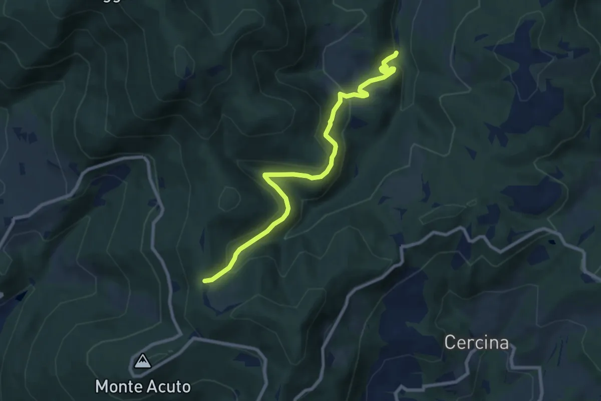
Medium · Trail
Percorso 6 – Sella degli Scollini
8.1 km · ↑ 399 m · 2 h 47 min · 12 km away
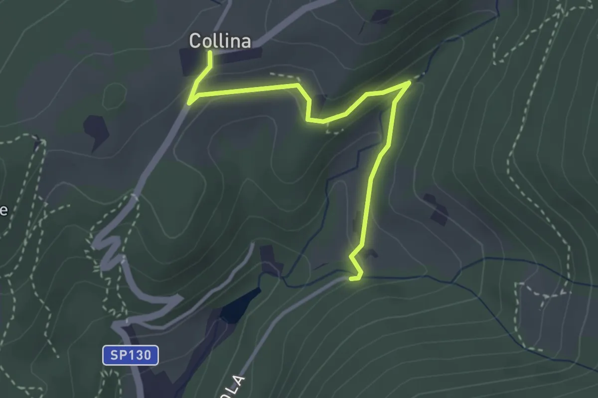
Easy · Trail
Via di Isola – Collina
3.1 km · ↑ 95 m · 56 min · 12 km away
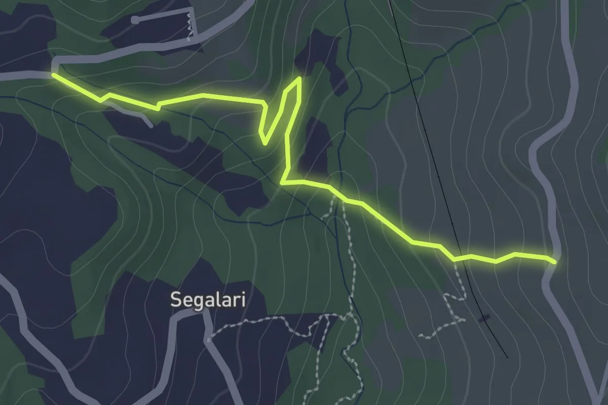
Easy · Trail
Via di Docciola (m. 300) – Incrocio sentiero 15 (m. 335)
3.2 km · ↑ 185 m · 1 h 9 min · 12 km away
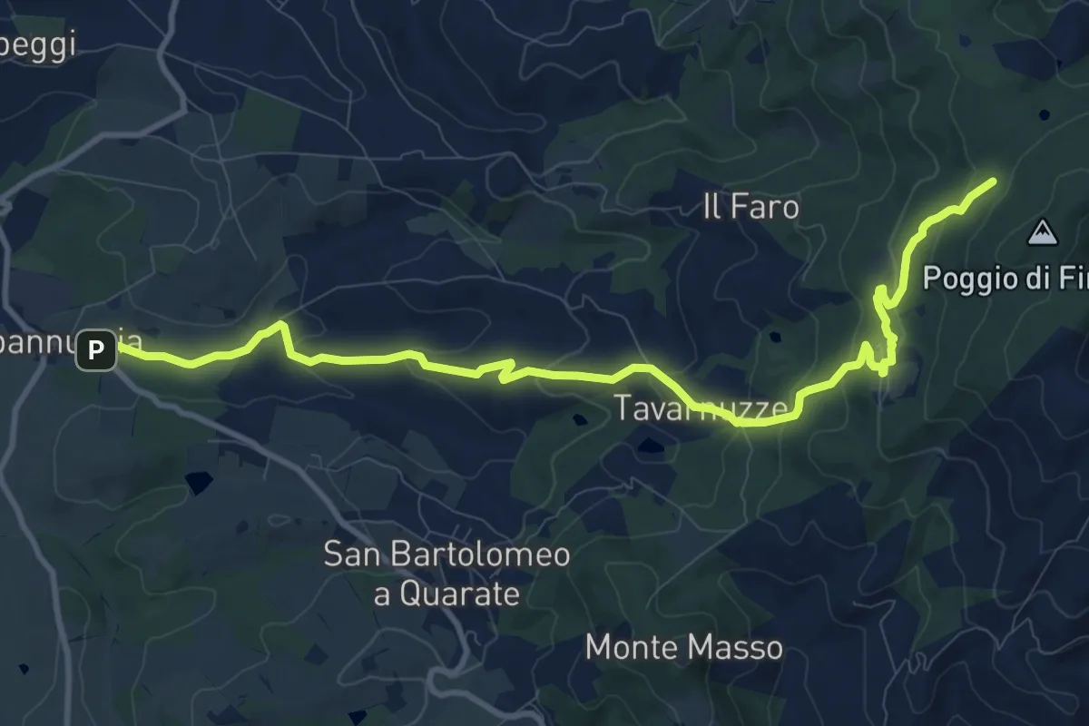
Medium · Cabin
Capannuccia (Grassina) – Sorgente di Fonte Santa
12.7 km · ↑ 509 m · 4 h 5 min · 12 km away
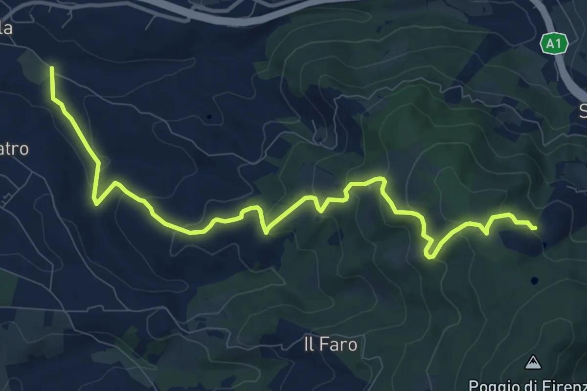
Medium · Trail
Antella – Poggio Piglie
11.5 km · ↑ 524 m · 3 h 51 min · 12 km away
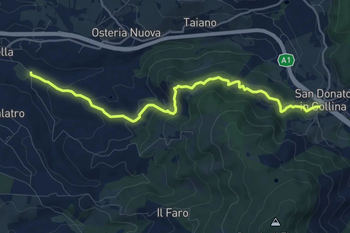
Medium · Trail
Antella – San Donato in Collina
10.9 km · ↑ 473 m · 3 h 35 min · 12 km away
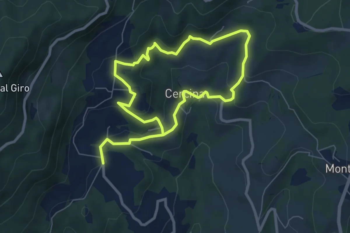
Easy · Trail
Chiesa di Cercina – Chiesa di Cercina
5.2 km · ↑ 237 m · 1 h 49 min · 12 km away
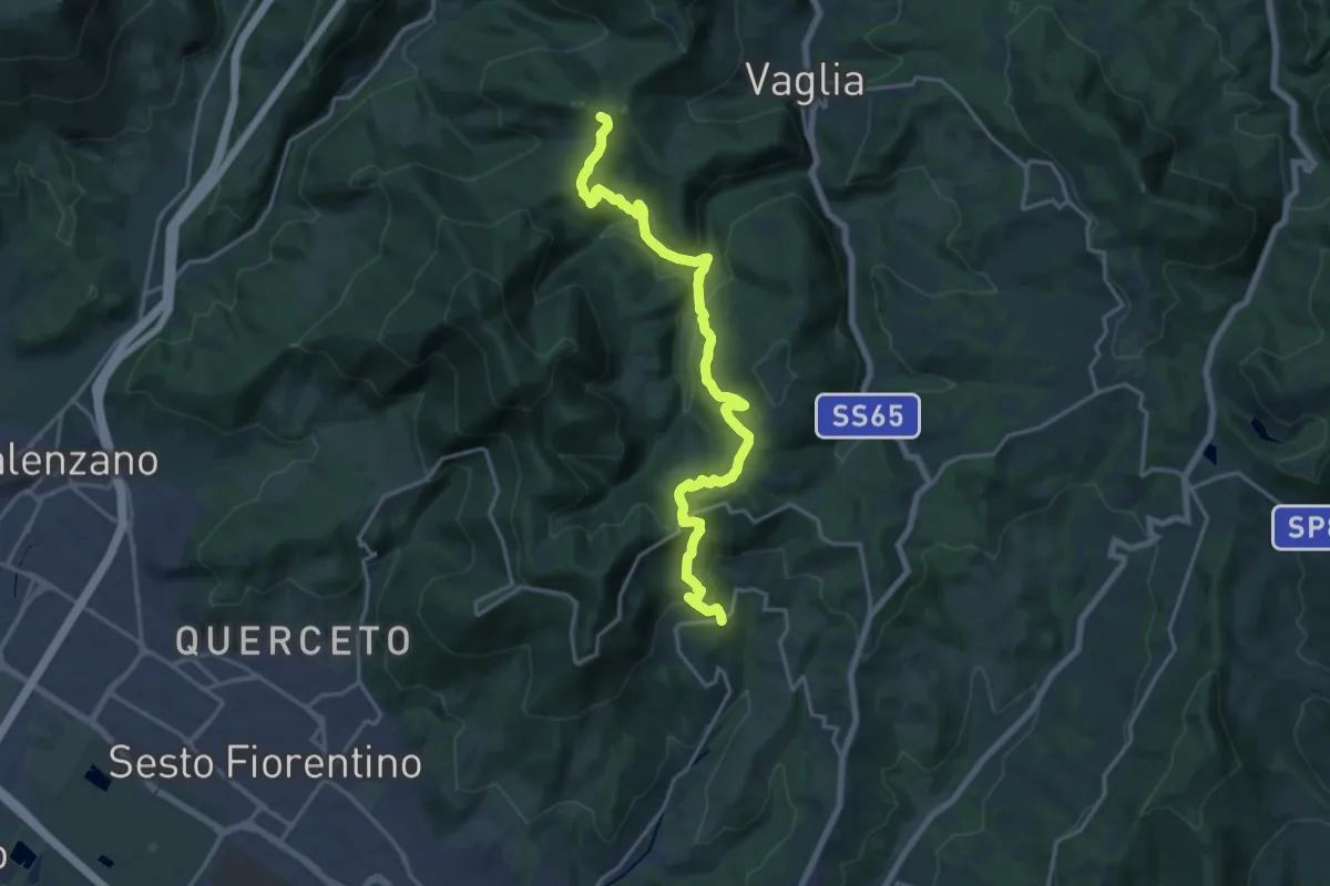
Demanding · Summit
Sentiero dei Castelli
20.2 km · ↑ 810 m · 6 h 32 min · 12 km away
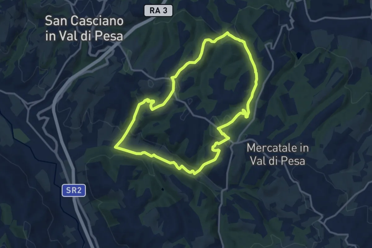
Medium · Trail
Anello di Calcinaia
10.3 km · ↑ 283 m · 3 h 11 min · 12 km away
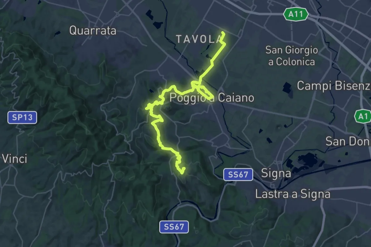
Medium · Trail
Tappa 1: Prato - Artimino
17.8 km · ↑ 389 m · 5 h 24 min · 12 km away
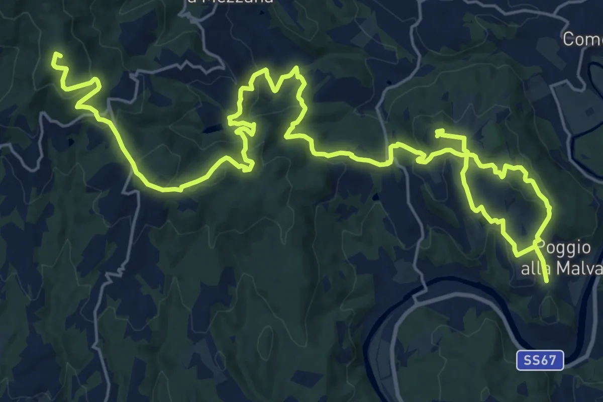
Demanding · Summit
Tappa 2: Artimino - Bacchereto
33.2 km · ↑ 1329 m · 10 h 43 min · 12 km away
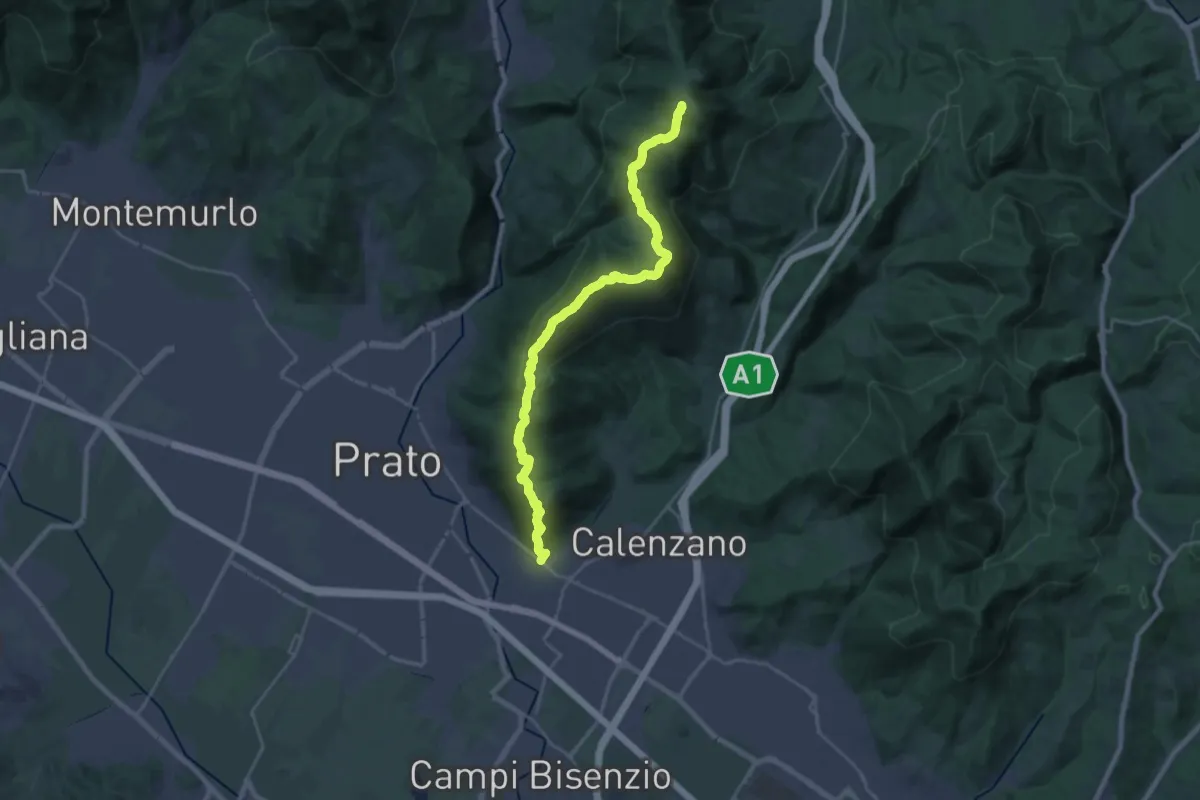
Demanding · Summit
La Querce – Poggio ai Prati (sentiero 00)
26.9 km · ↑ 1335 m · 9 h 15 min · 12 km away
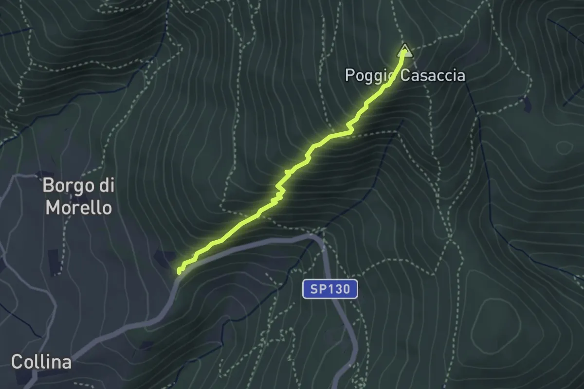
Demanding · Summit
Sentiero del Pensionato
3.2 km · ↑ 469 m · 1 h 46 min · 12 km away
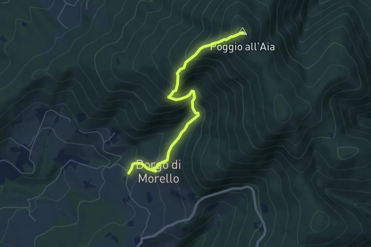
Medium · Summit
Morello – Poggio all'Aia
6.3 km · ↑ 665 m · 2 h 55 min · 13 km away
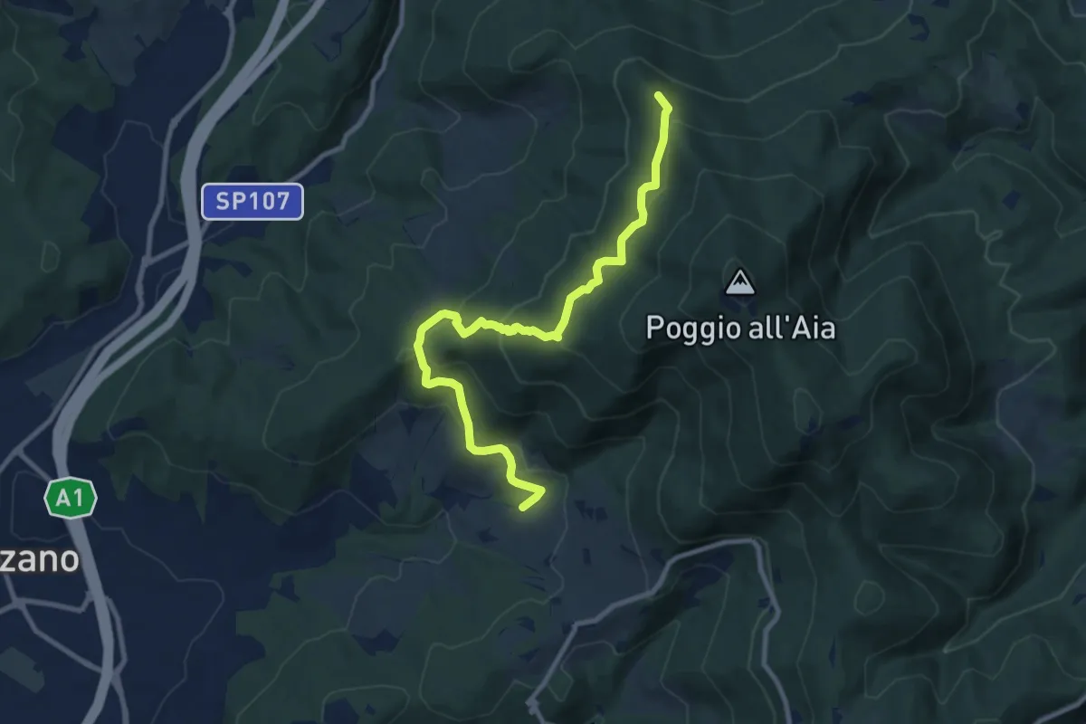
Medium · Summit
Ponte sul Chiosina – Poggio Leccio (m. 590 sent. 8 e 8B)
10.4 km · ↑ 614 m · 3 h 48 min · 13 km away
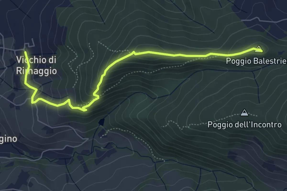
Easy · Summit
Vicchi Di Rimaggio – Poggio Incontro
6.5 km · ↑ 309 m · 2 h 12 min · 13 km away
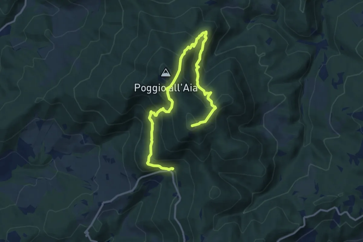
Demanding · Summit
Fonte del Vecciolino – Poggio Casaccia
12.4 km · ↑ 1011 m · 5 h 7 min · 13 km away
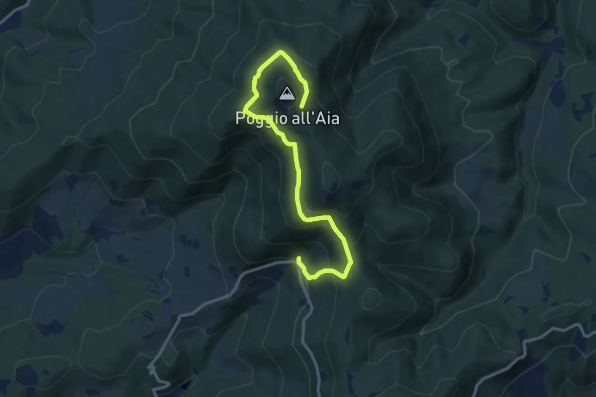
Medium · Trail
Fonte del Vecciolino – Quota 855 sentiero 12
9.2 km · ↑ 537 m · 3 h 20 min · 13 km away
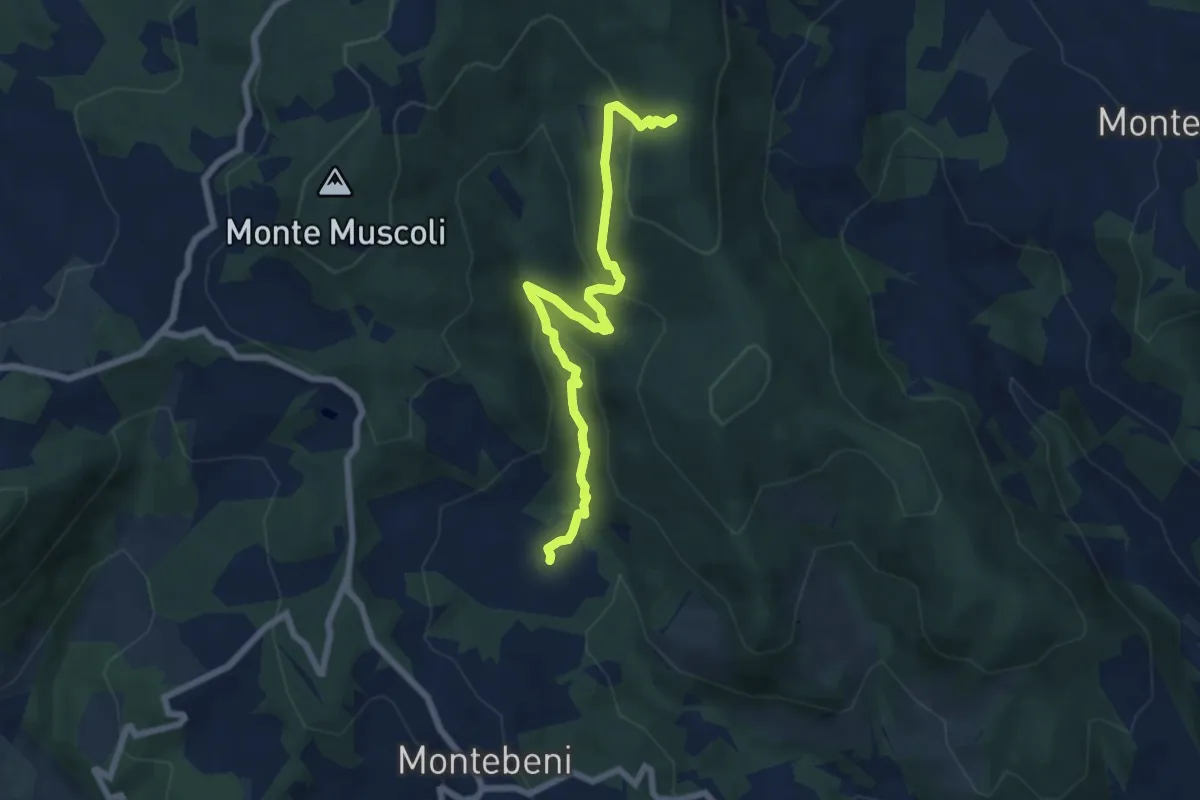
Medium · Trail
Ontignano – Casa le Sorti
7.2 km · ↑ 324 m · 2 h 24 min · 13 km away
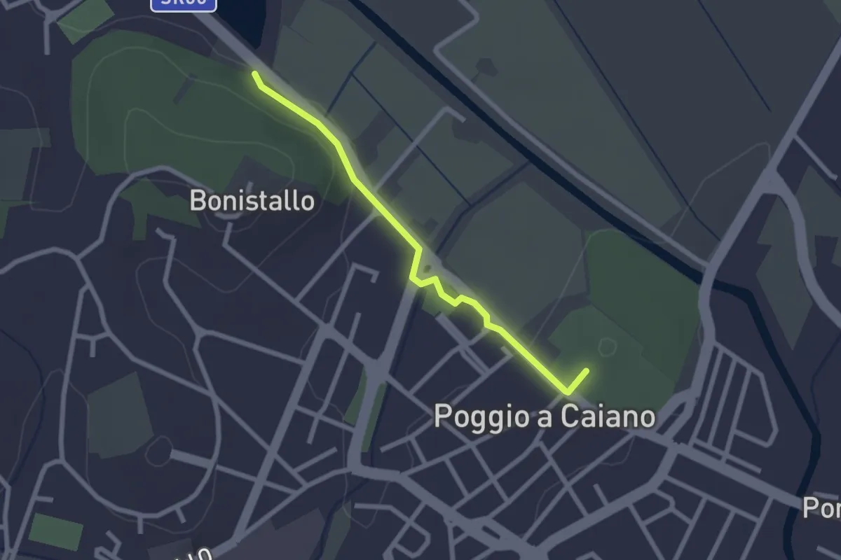
Easy · Trail
Poggio a Caiano – Bargo
2.3 km · ↑ 22 m · 35 min · 13 km away
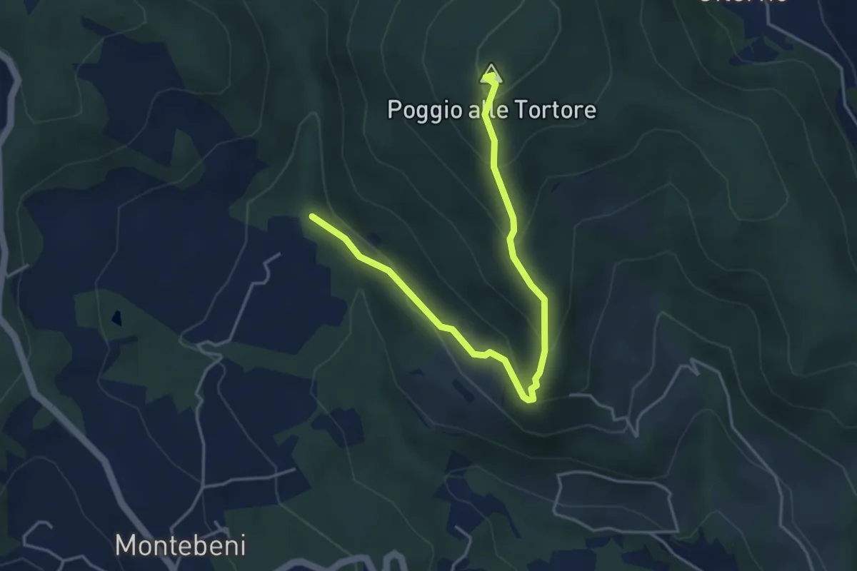
Demanding · Summit
Incrocio Sentiero 708 – Incrocio Sentiero 703
4.6 km · ↑ 273 m · 1 h 41 min · 13 km away
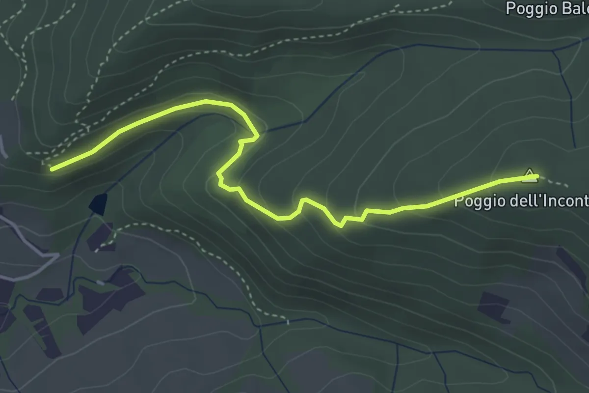
Easy · Summit
Vicchio Di Rimaggio-Vernalese – Poggio Incontro
4.2 km · ↑ 211 m · 1 h 27 min · 13 km away
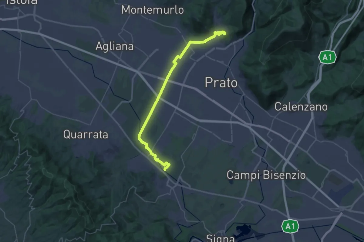
Demanding · Summit
Stazione Centrale Prato – Ponte Manetti - Cascine di Tavola
30.9 km · ↑ 147 m · 7 h 38 min · 13 km away
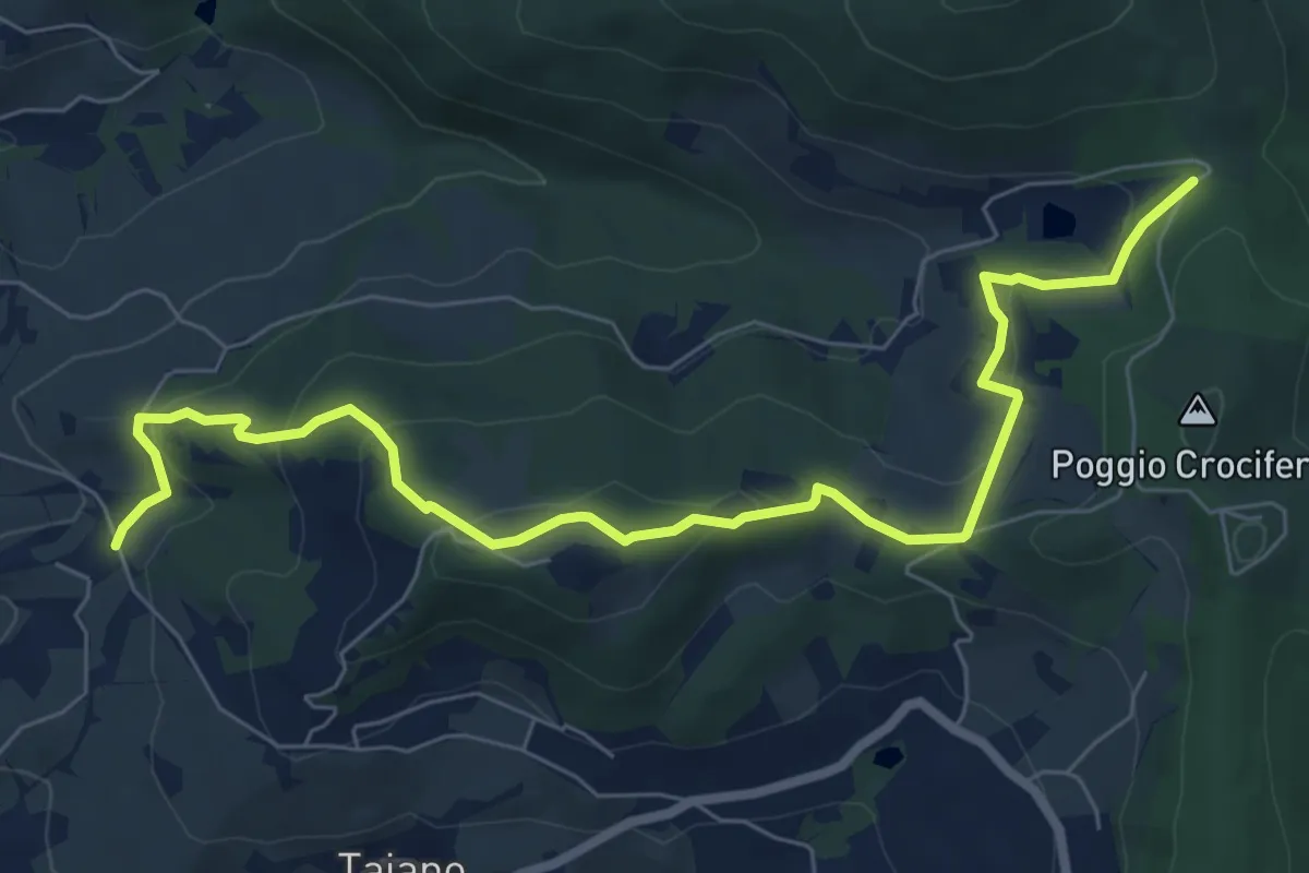
Medium · Trail
Bigallo – Valico Di Terzano
8.7 km · ↑ 343 m · 2 h 48 min · 13 km away
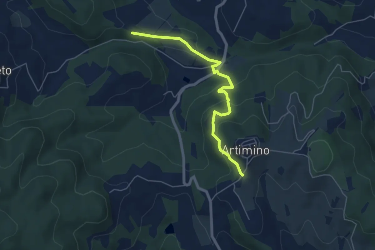
Easy · Trail
Podere Campisalti – Artimino
5.1 km · ↑ 232 m · 1 h 42 min · 14 km away
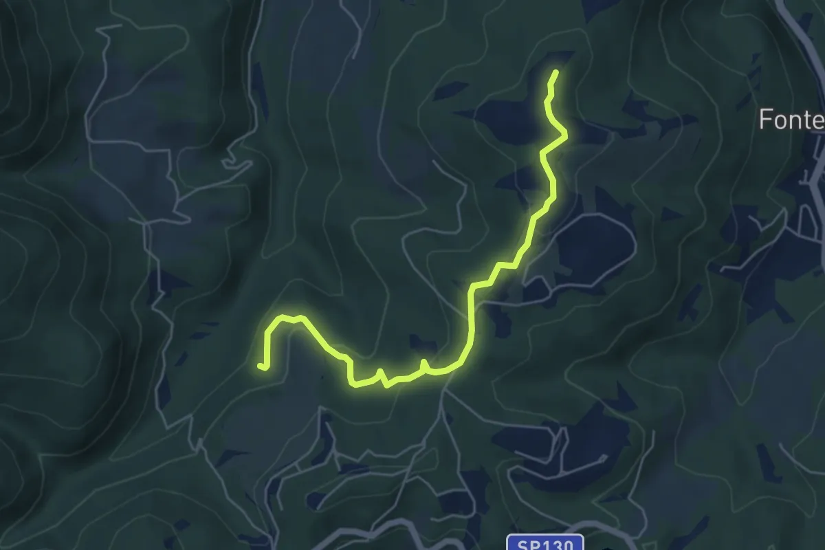
Easy · Summit
Anello della Carzola
5.6 km · ↑ 177 m · 1 h 42 min · 14 km away
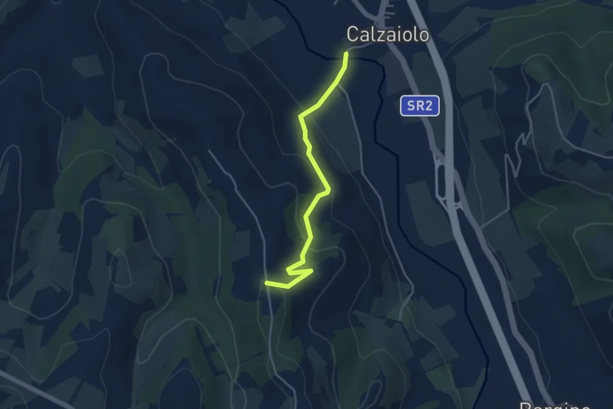
Easy · Trail
Variante anello di San Pancrazio
3.6 km · ↑ 183 m · 1 h 15 min · 14 km away
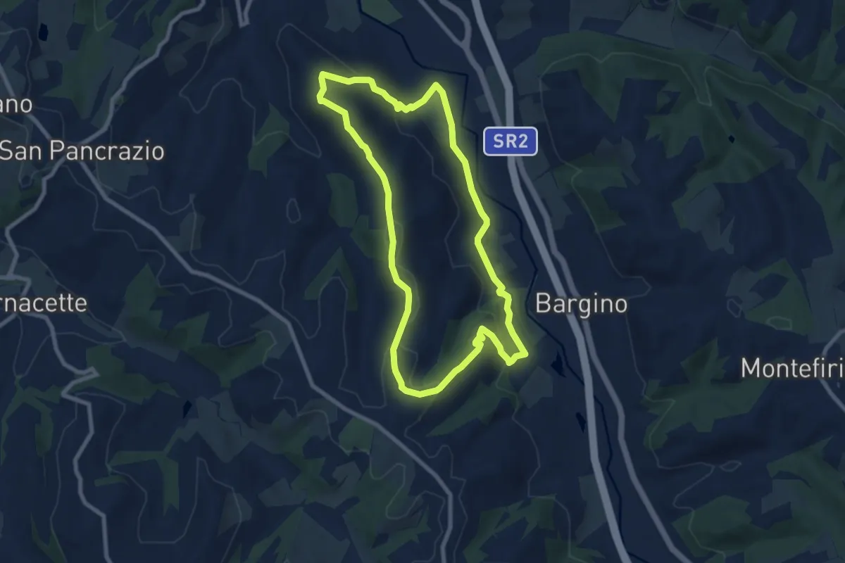
Easy · Trail
Anello di Calzaiolo
8.0 km · ↑ 235 m · 2 h 30 min · 14 km away
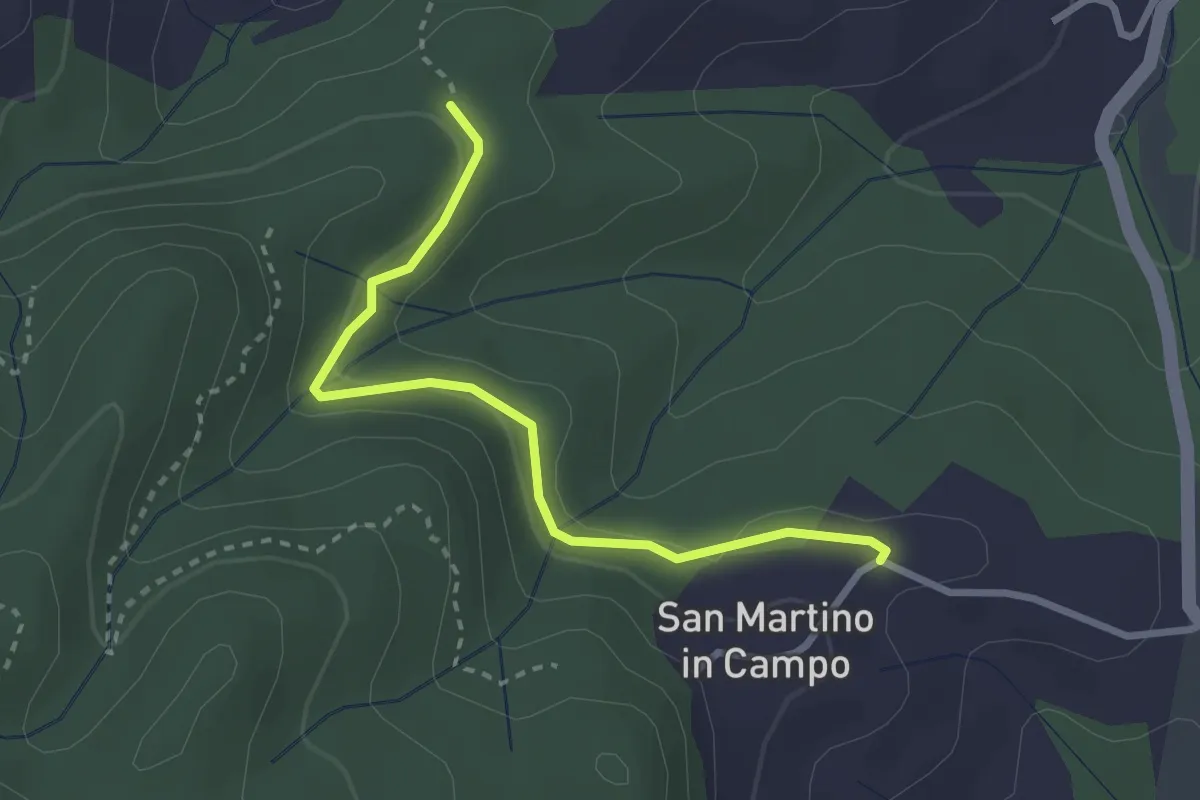
Easy · Trail
Caselli – Sotto San Martino
2.9 km · ↑ 71 m · 50 min · 14 km away
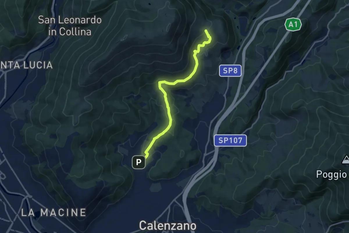
Medium · Summit
Sentiero della Pace
11.4 km · ↑ 392 m · 3 h 32 min · 14 km away
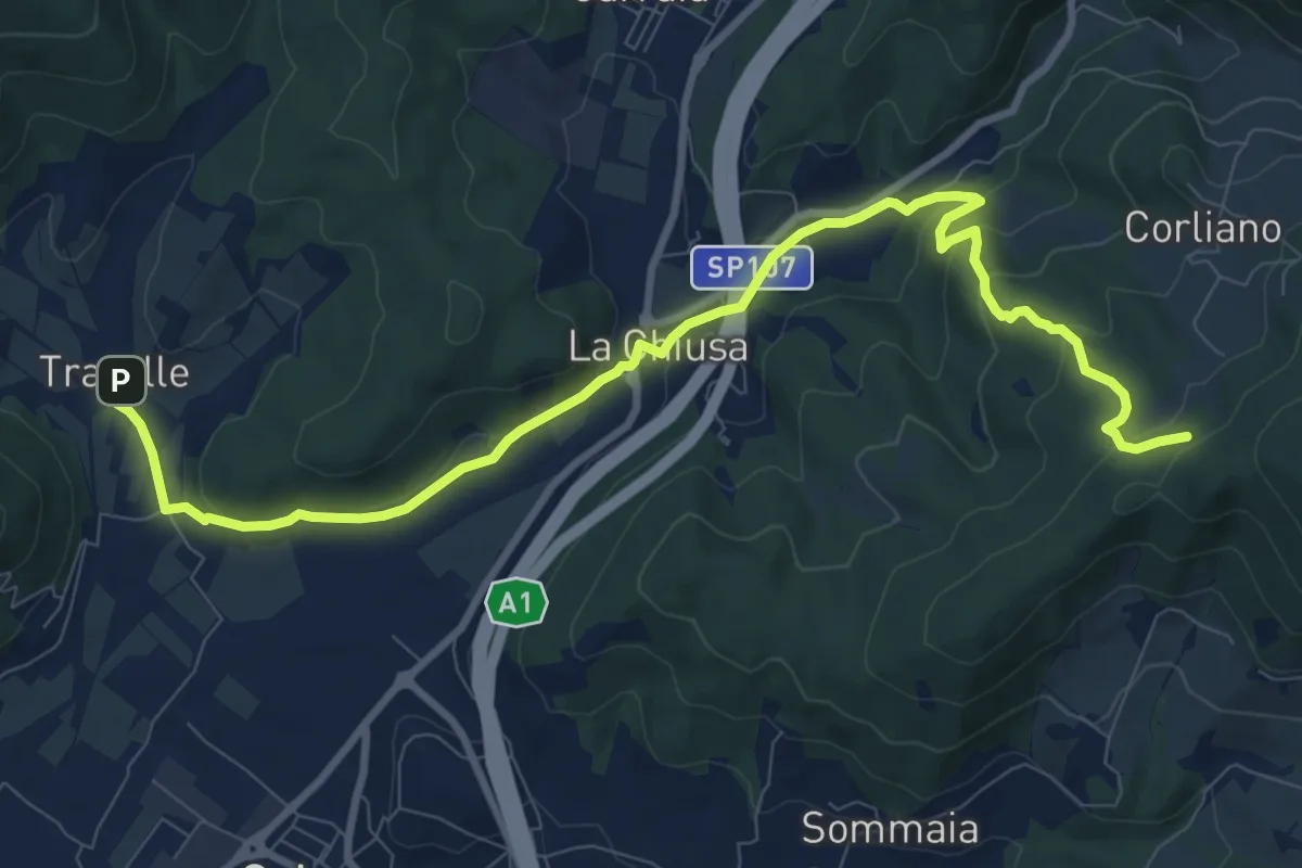
Medium · Trail
La Chiusa – Incrocio sent. 609
11.7 km · ↑ 369 m · 3 h 33 min · 14 km away
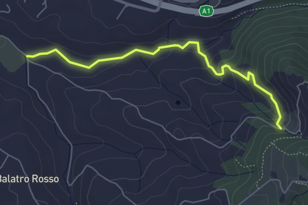
Easy · Trail
Antella – Montisoni
5.3 km · ↑ 184 m · 1 h 39 min · 14 km away
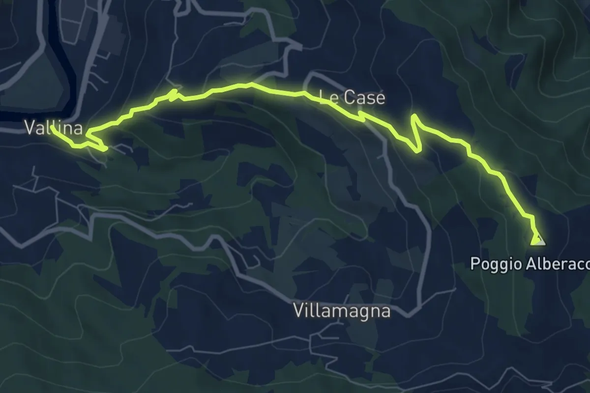
Medium · Summit
Sentiero 0–da Vallina a Poggio a Luco
8.9 km · ↑ 442 m · 3 h 4 min · 14 km away
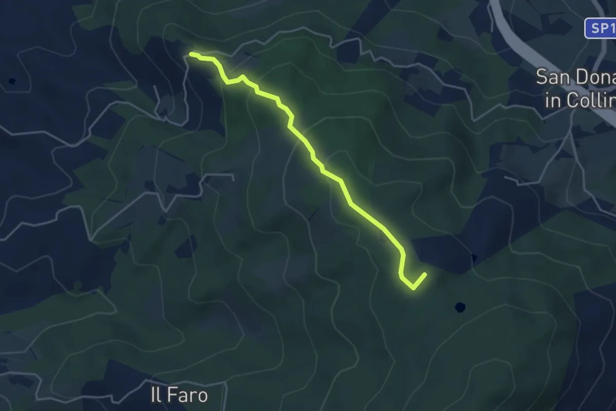
Easy · Summit
Montisoni – Poggio Piglie
4.0 km · ↑ 222 m · 1 h 25 min · 14 km away
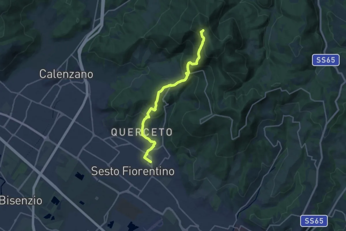
Demanding · Trail
Sesto Fiorentino - Via Veronelli Sezione CAI – Selletta
15.0 km · ↑ 818 m · 5 h 19 min · 14 km away
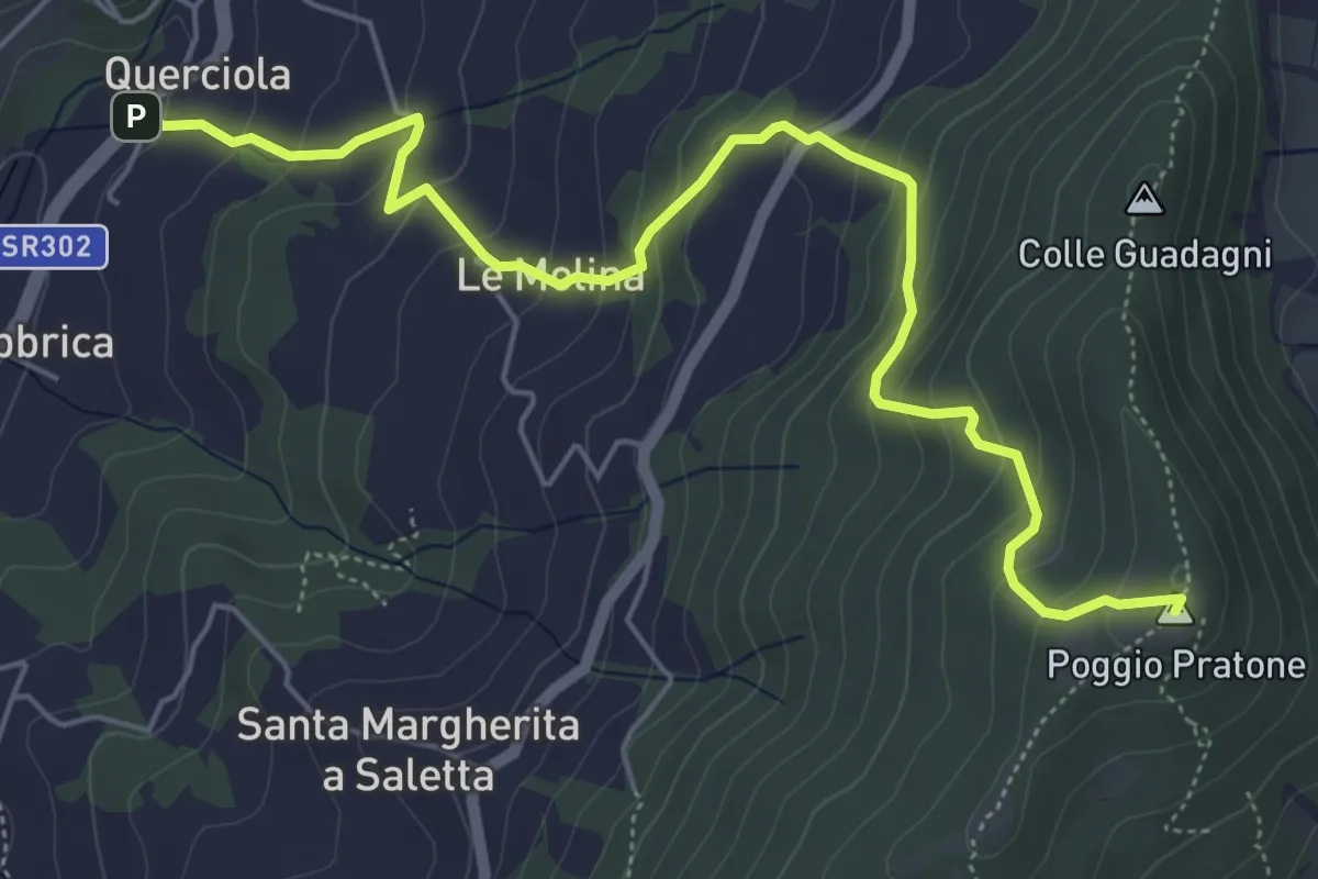
Medium · Summit
Cammino dell'acqua di Montereggi
6.8 km · ↑ 478 m · 2 h 39 min · 14 km away
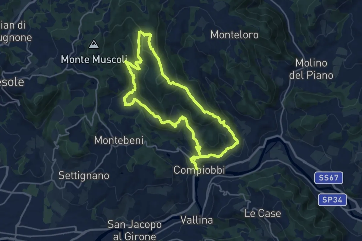
Medium · Trail
Compiobbi – Compiobbi
14.0 km · ↑ 611 m · 4 h 48 min · 14 km away