Trails near Scanzorosciate
166 hikes starting within 15 km, nearest first.
Nearest first, page 3 of 4
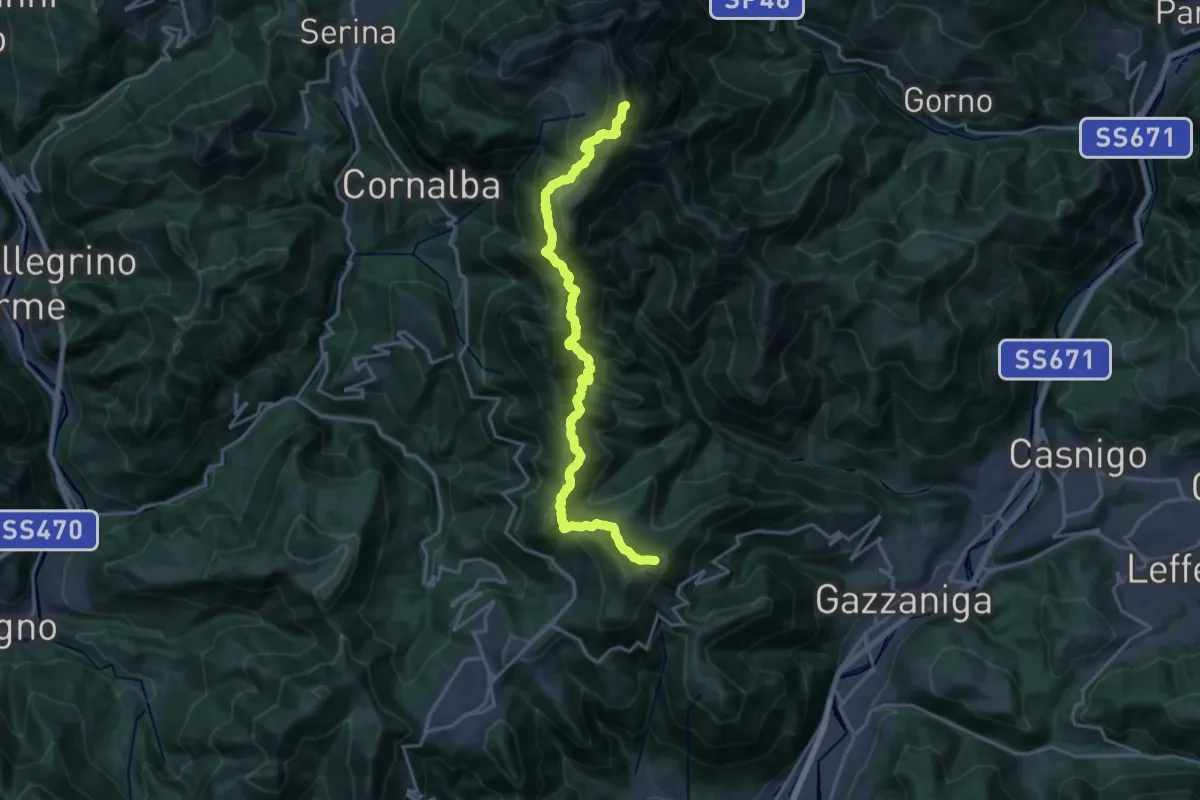
Expert · Summit
Ca' de Spi' (Gazzaniga) – Monte Alben
20.0 km · ↑ 1657 m · 8 h 19 min · 11 km away
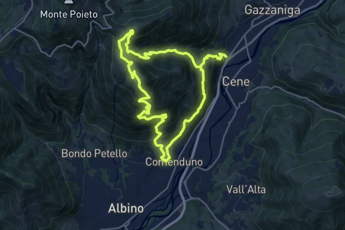
Demanding · Summit
Comenduno (Albino) – Comenduno (Albino)
11.1 km · ↑ 1121 m · 5 h 6 min · 11 km away
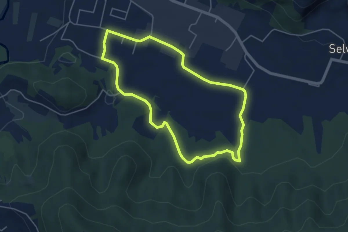
Easy · Trail
San Giorgio (Zandobbio) – San Giorgio (Zandobbio)
3.8 km · ↑ 48 m · 1 h 3 min · 11 km away
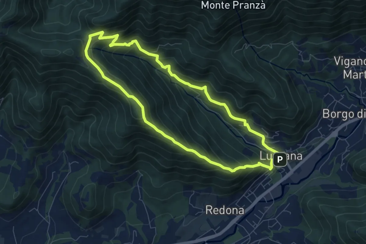
Medium · Summit
Luzzana – Luzzana
7.3 km · ↑ 506 m · 2 h 55 min · 11 km away
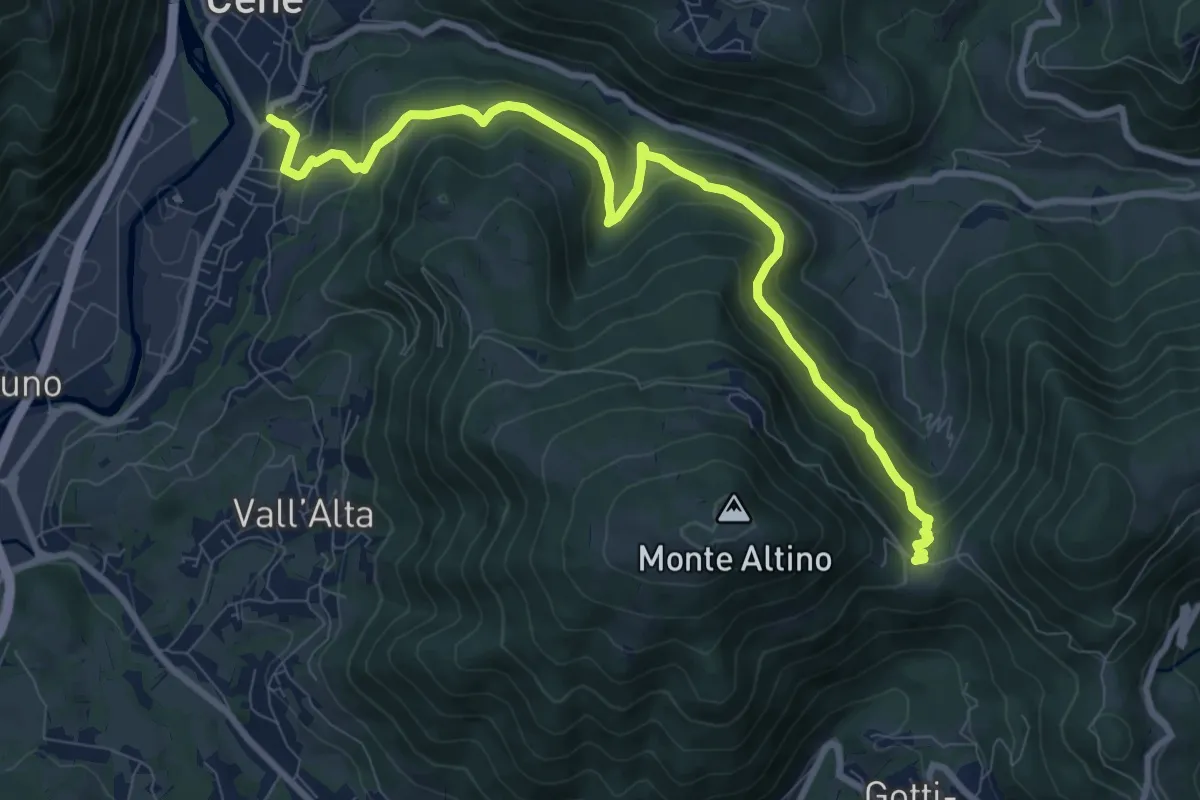
Medium · Trail
Cene – Pracc Molecc
10.3 km · ↑ 580 m · 3 h 41 min · 11 km away
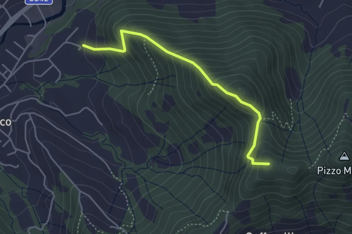
Medium · Summit
Maico (Entratico) – Il Casino (Foresto Sparso)
3.7 km · ↑ 394 m · 1 h 44 min · 11 km away
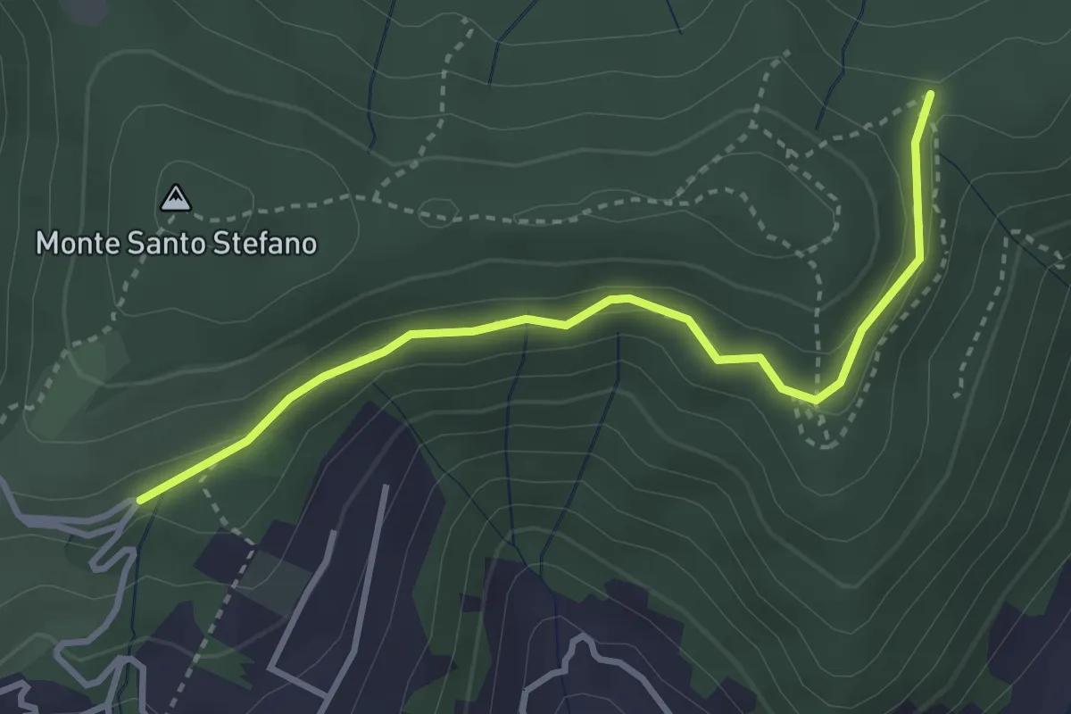
Medium · Trail
Cascina Pedrini – Boca di senter
3.4 km · ↑ 120 m · 1 h 4 min · 11 km away
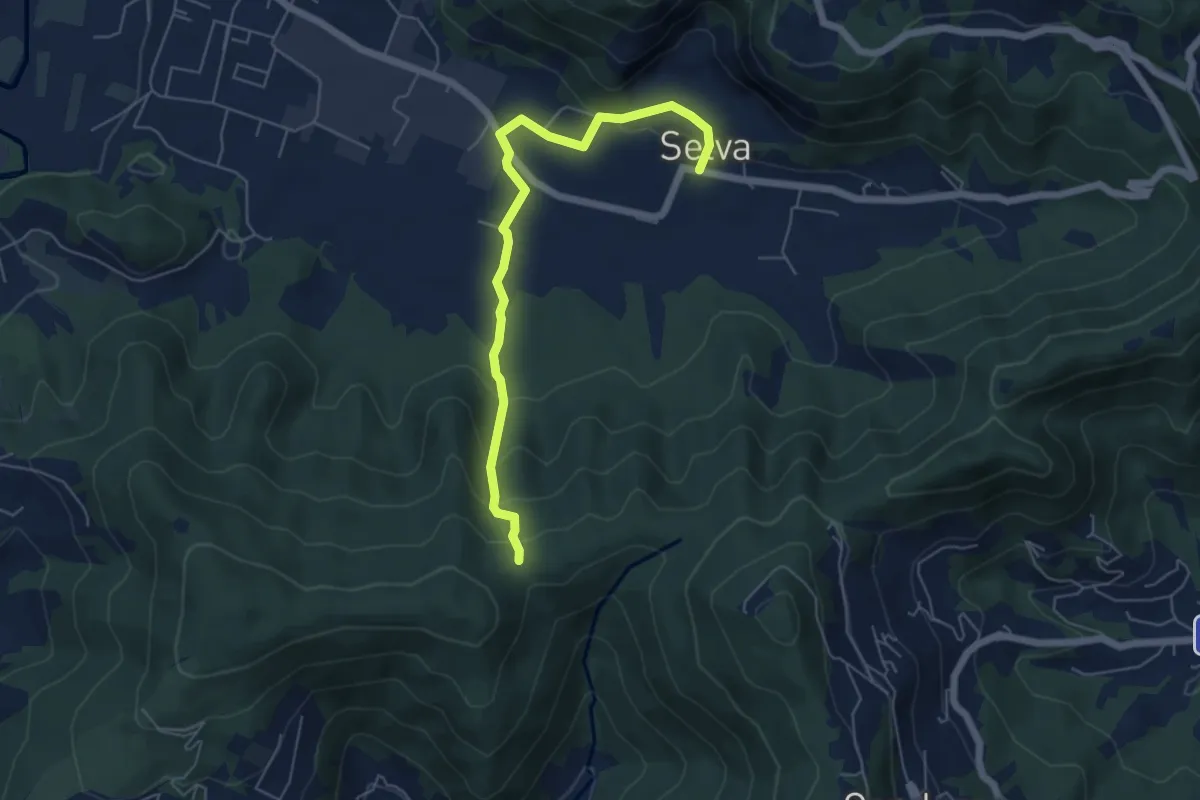
Easy · Trail
Selva – Boca di senter
5.8 km · ↑ 261 m · 1 h 56 min · 11 km away
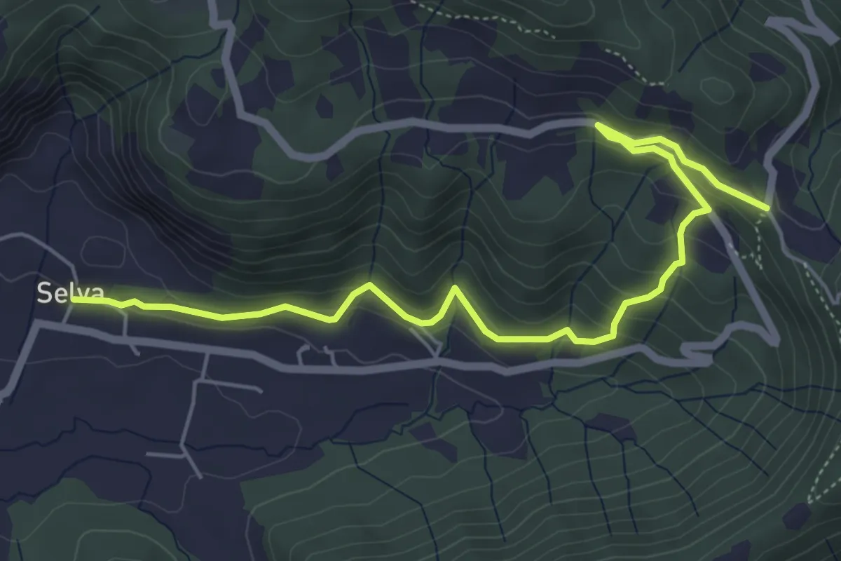
Medium · Trail
Selva – Colle San Giovanni
6.1 km · ↑ 362 m · 2 h 14 min · 12 km away
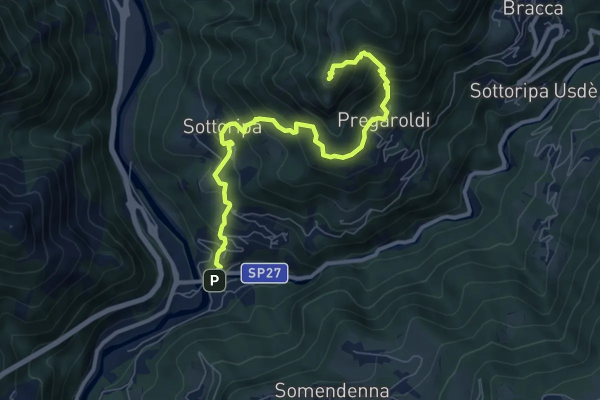
Medium · Summit
Ambria – Pizzo di Spino
7.5 km · ↑ 700 m · 3 h 17 min · 12 km away
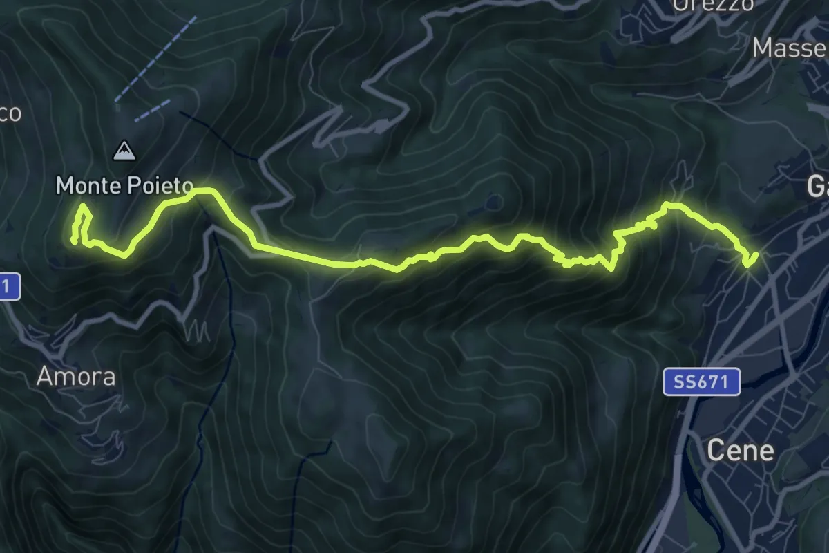
Demanding · Summit
Rova (Gazzaniga) – Monte Cornagera
10.9 km · ↑ 990 m · 4 h 43 min · 12 km away
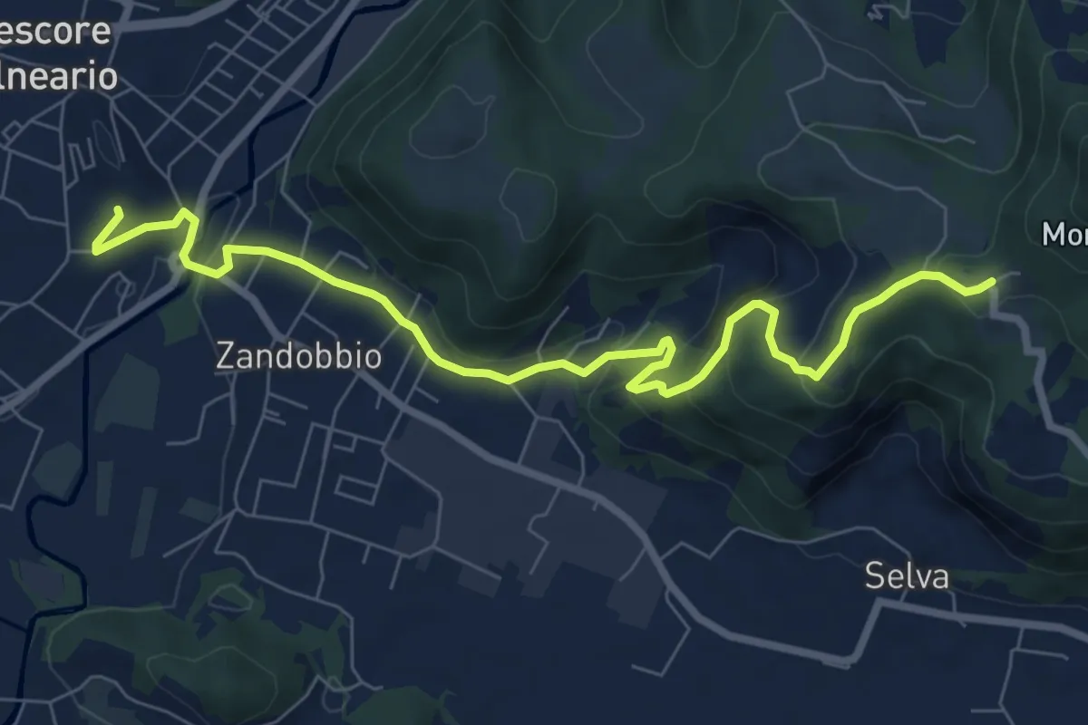
Medium · Trail
Trescore Balneario – Buca del Corno
8.6 km · ↑ 380 m · 2 h 52 min · 12 km away
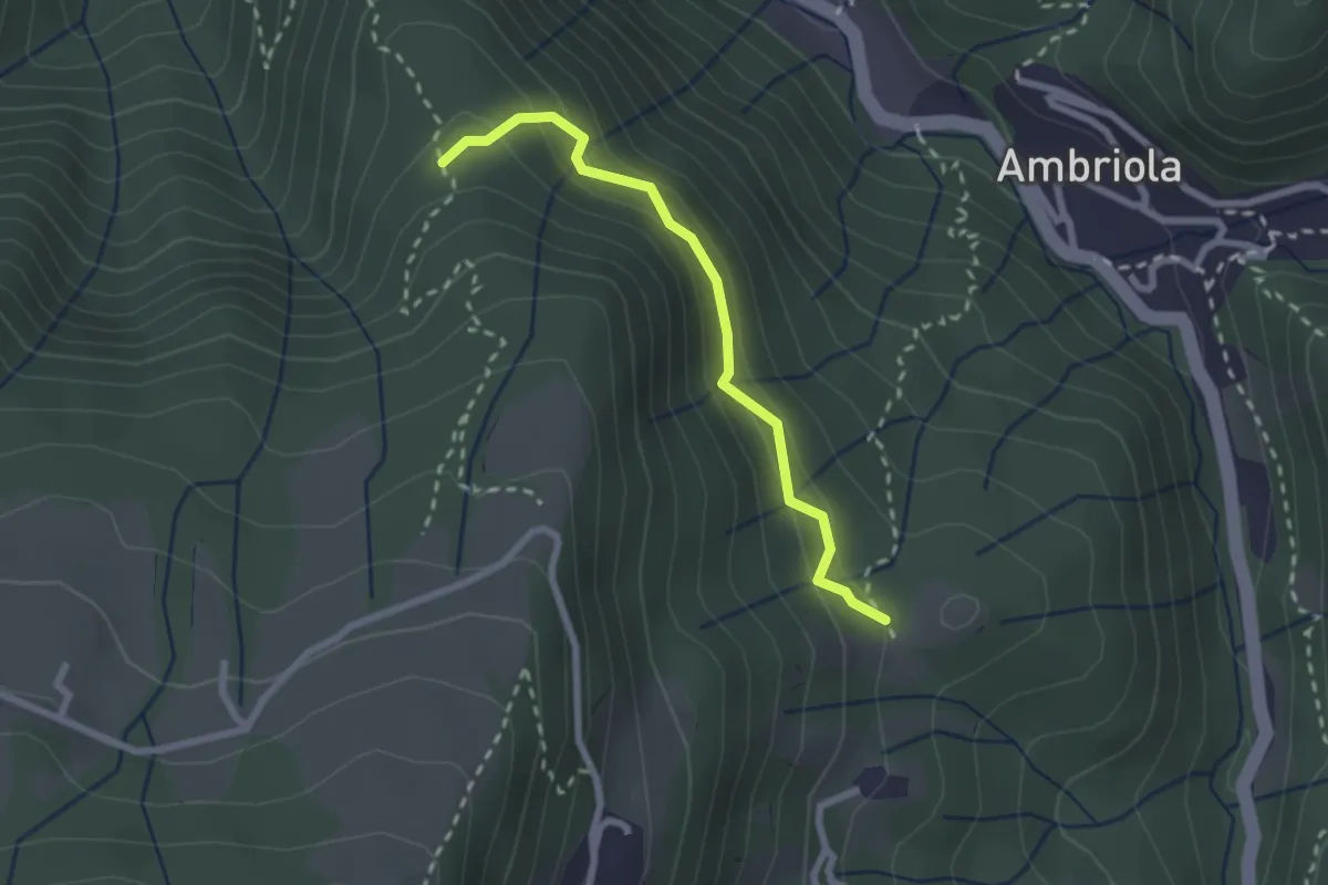
Demanding · Trail
Incrocio H51 – Incrocio H52
2.3 km · ↑ 197 m · 58 min · 12 km away
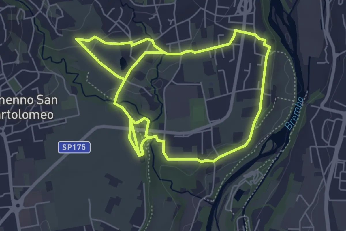
Medium · Trail
Sentiero del Romanico
10.5 km · ↑ 131 m · 2 h 45 min · 12 km away
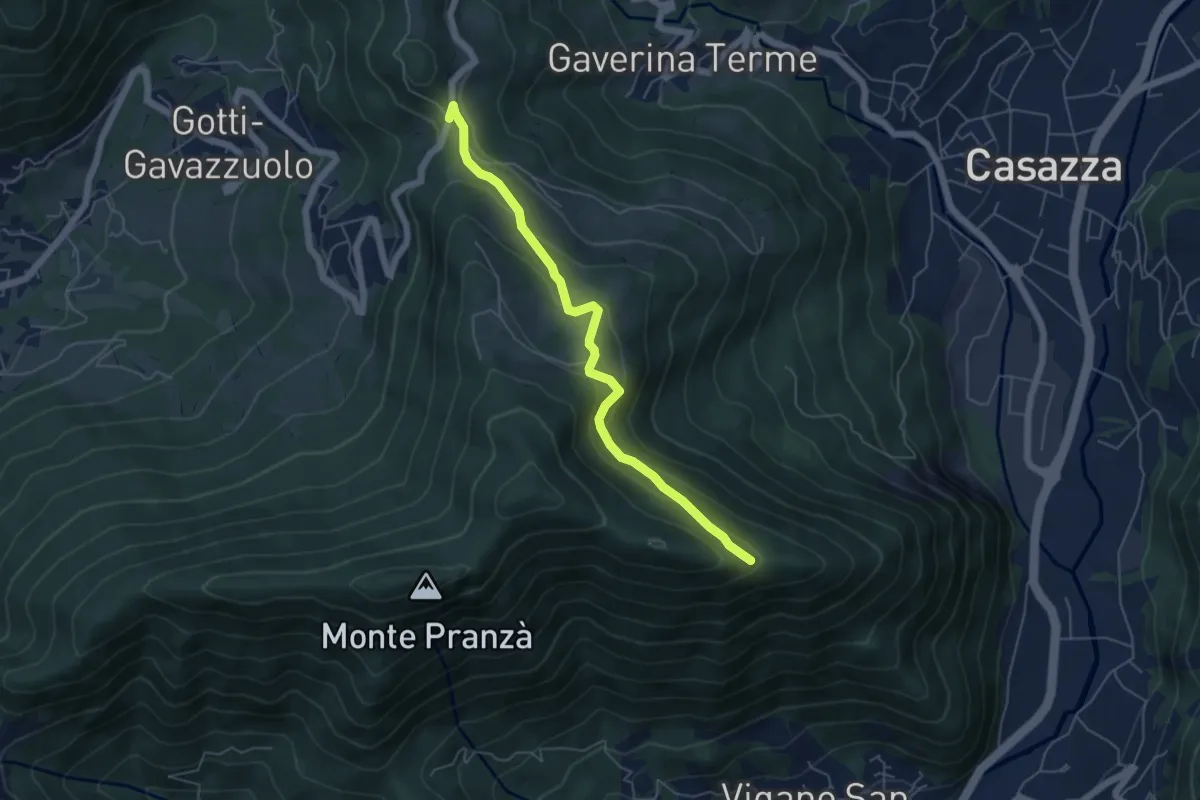
Easy · Trail
Colle Gallo (Gaverina Terme) – Cesulì
5.5 km · ↑ 257 m · 1 h 51 min · 12 km away
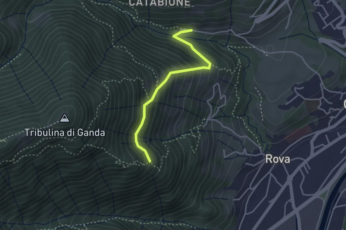
Medium · Trail
Incrocio 521 – Incrocio 522
2.9 km · ↑ 270 m · 1 h 16 min · 12 km away
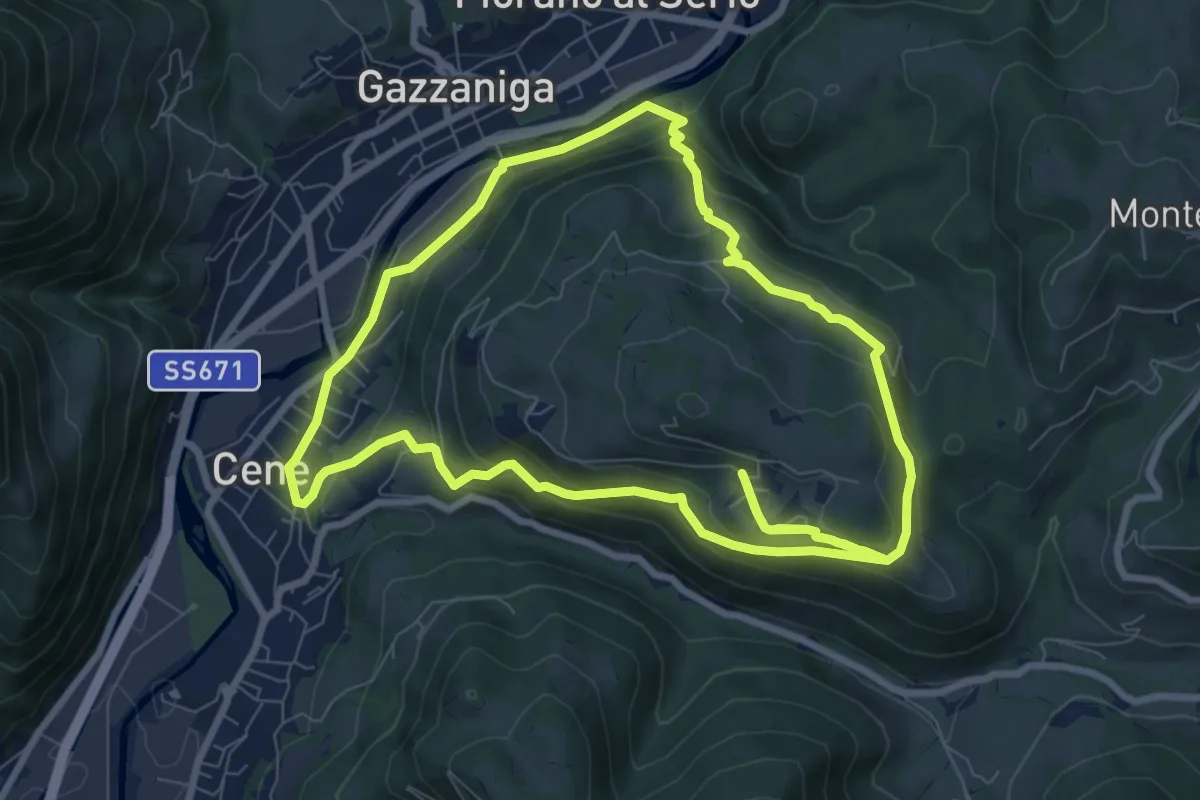
Medium · Summit
Giro del Monte Bue
8.9 km · ↑ 401 m · 3 h 6 min · 12 km away
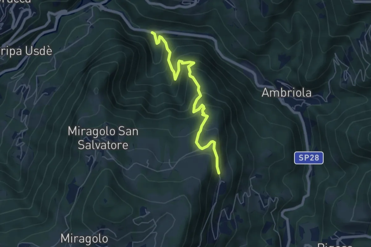
Medium · Trail
Algua – Sambusita alta (Case di Sopra)
5.6 km · ↑ 528 m · 2 h 28 min · 12 km away
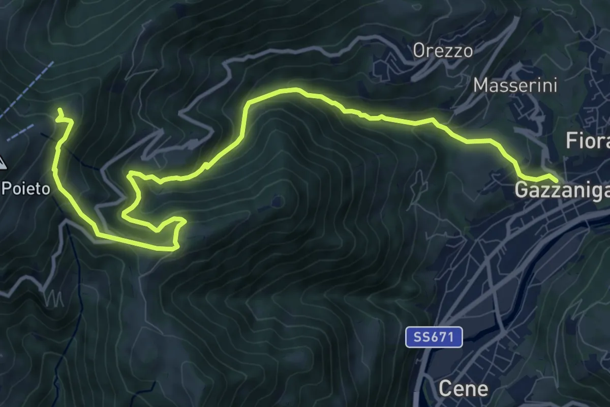
Demanding · Trail
Gazzaniga – Ca de Spi'
13.2 km · ↑ 890 m · 5 h 3 min · 12 km away
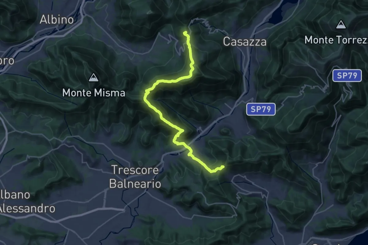
Demanding · Summit
Sentiero Flavio Tasca - Tappa 8
22.8 km · ↑ 1433 m · 8 h 29 min · 12 km away
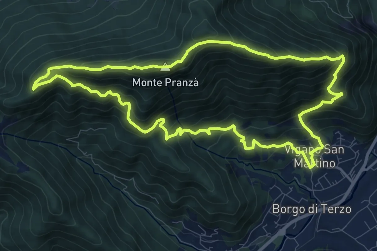
Demanding · Summit
Vigano San Martino – Vigano San Martino
10.4 km · ↑ 875 m · 4 h 29 min · 12 km away
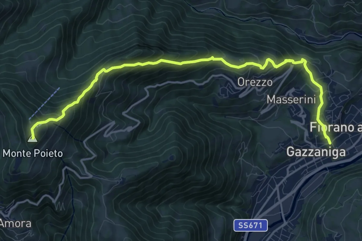
Demanding · Summit
Gazzaniga – Monte Poieto
12.6 km · ↑ 948 m · 5 h 2 min · 13 km away
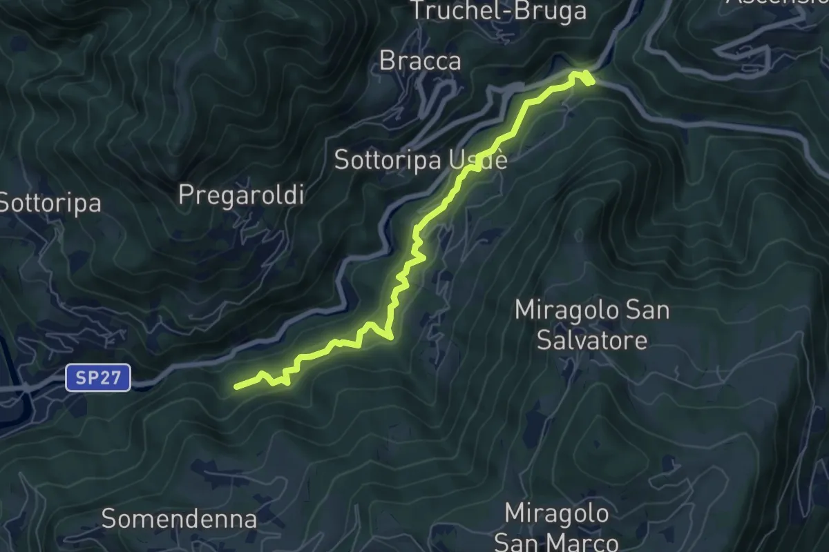
Medium · Trail
Strada Birocciabile
7.0 km · ↑ 440 m · 2 h 36 min · 13 km away
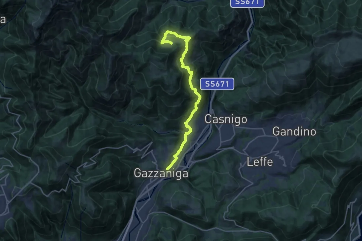
Demanding · Trail
Sentiero di Honio
17.7 km · ↑ 940 m · 6 h 13 min · 13 km away
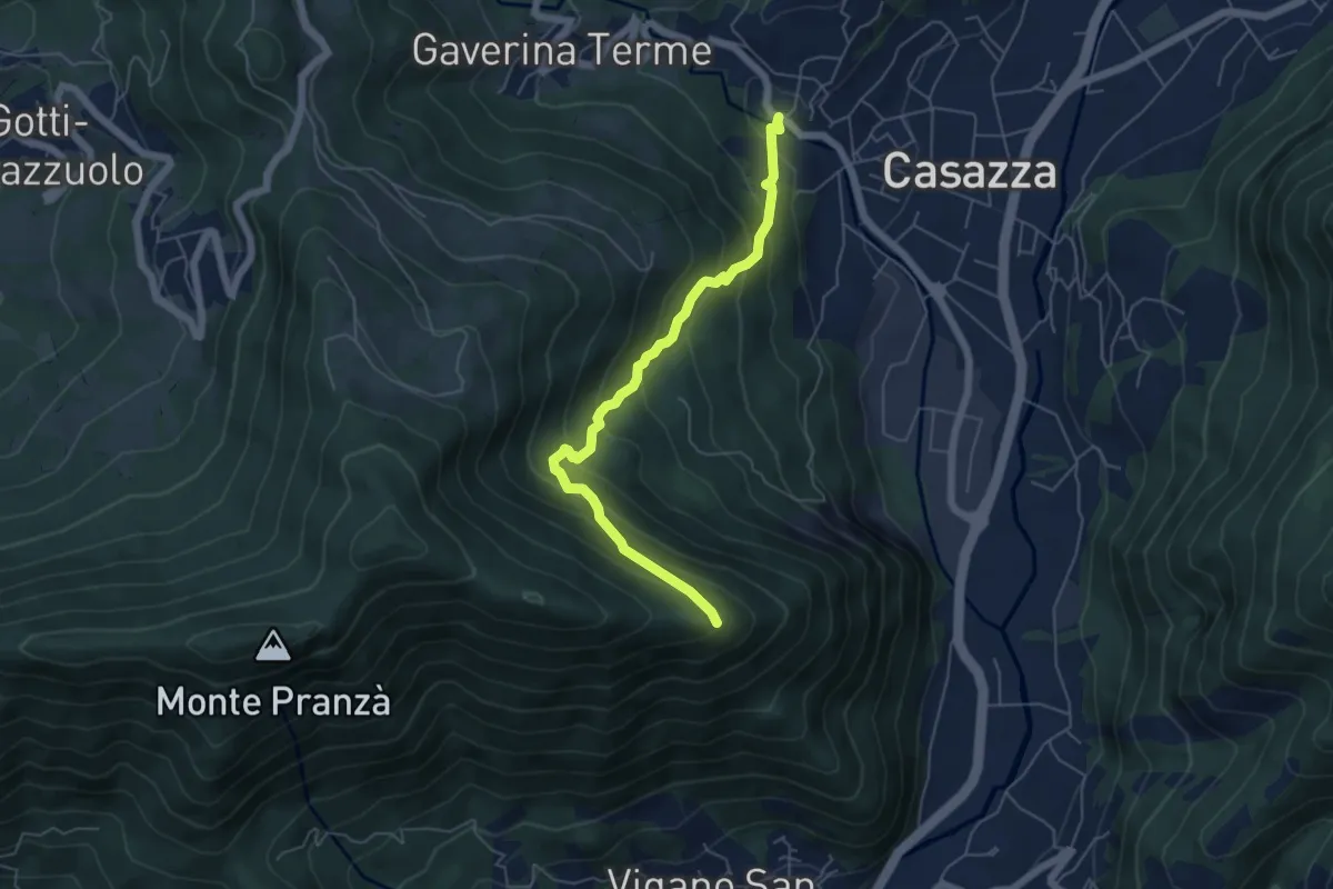
Expert · Trail
Mologno di Casazza – Cesulì
5.6 km · ↑ 492 m · 2 h 23 min · 13 km away
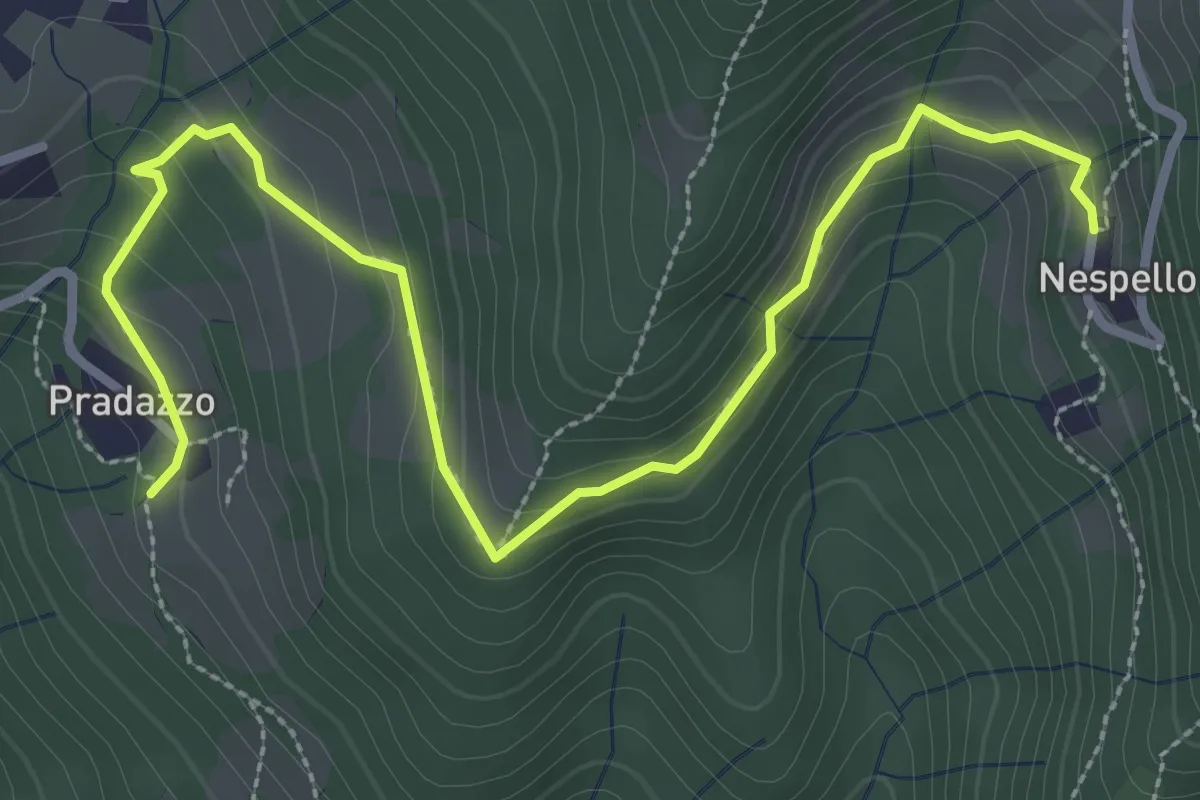
Medium · Trail
Via Mercatorum - Variante Ascensione
3.8 km · ↑ 188 m · 1 h 18 min · 13 km away
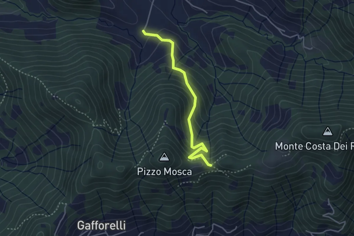
Medium · Trail
Cascina Barberino – Pizzo Mosca (Foresto Sparso)
3.2 km · ↑ 313 m · 1 h 26 min · 13 km away
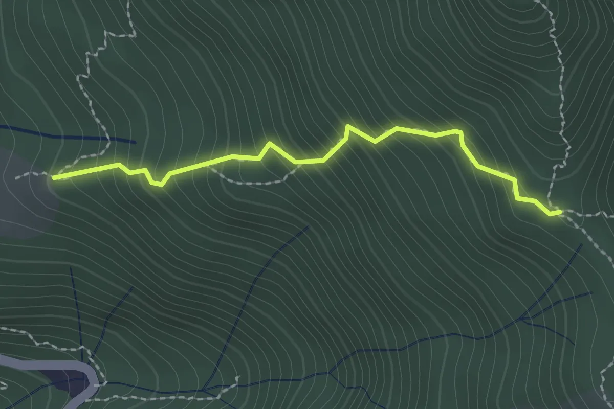
Easy · Trail
Stalla Aral – Incrocio sentiero 519
2.0 km · ↑ 300 m · 1 h 7 min · 13 km away
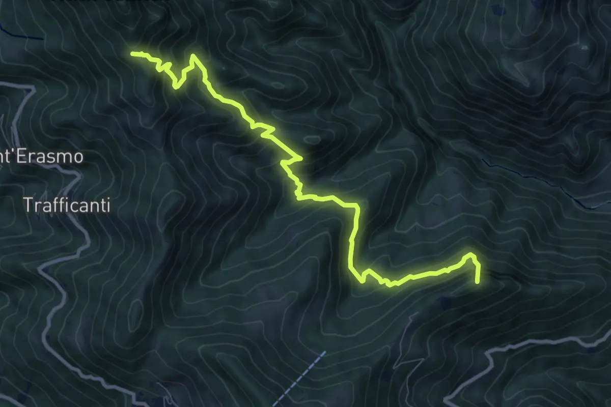
Demanding · Summit
Os-cioel (Orezzo) – Incrocio 519
10.4 km · ↑ 1063 m · 4 h 45 min · 13 km away
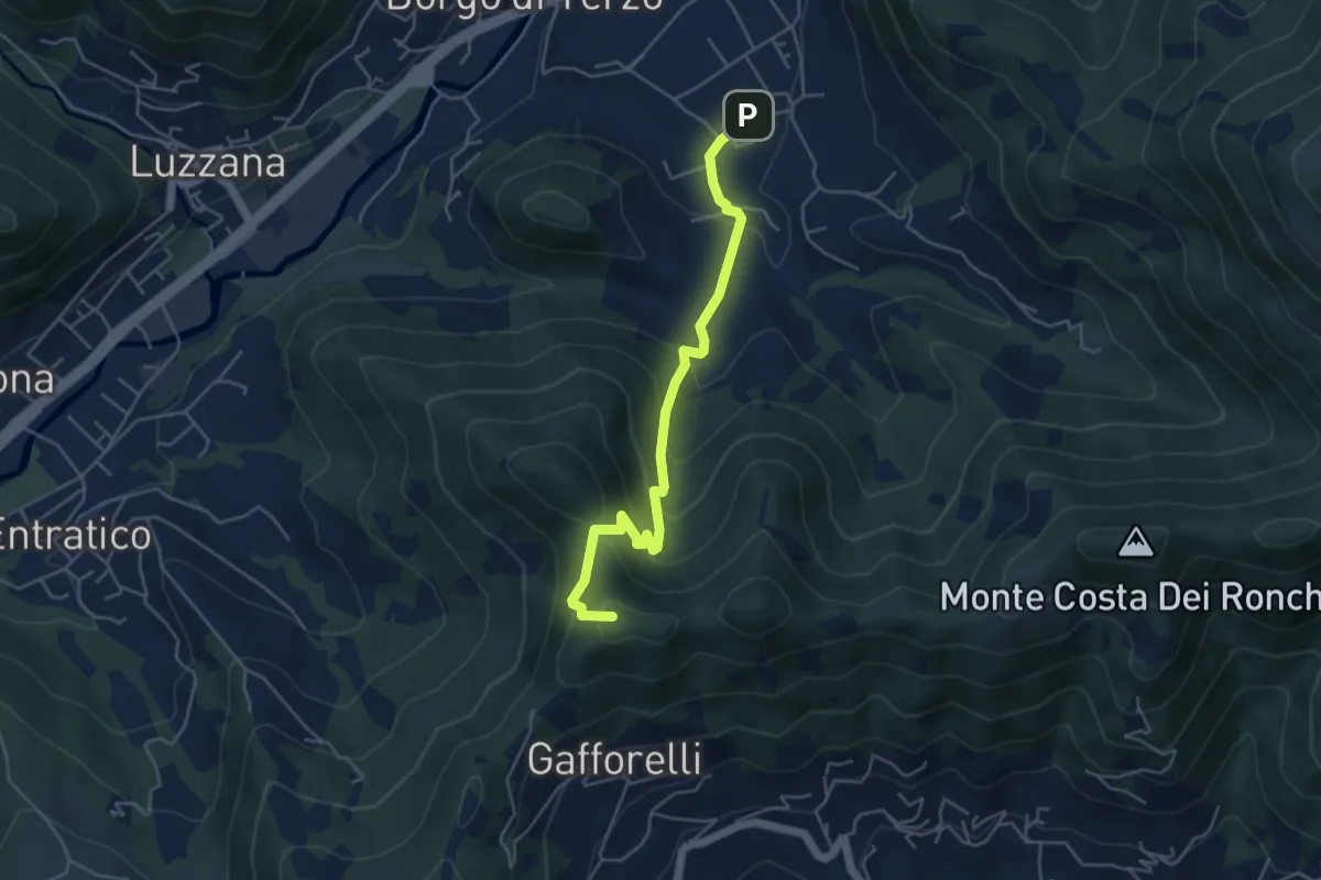
Medium · Summit
Berzo San Fermo – Il Casino
4.8 km · ↑ 328 m · 1 h 51 min · 13 km away
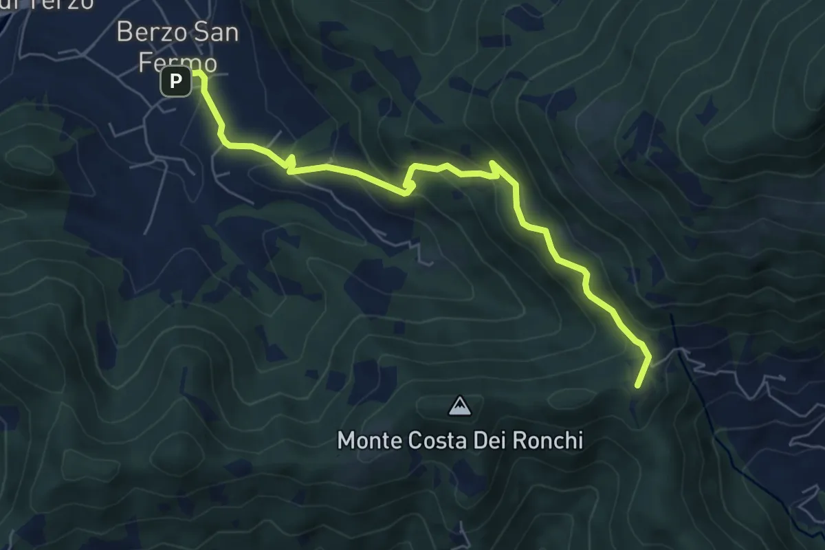
Medium · Summit
Berzo San Fermo – Col Croce
6.6 km · ↑ 444 m · 2 h 31 min · 13 km away
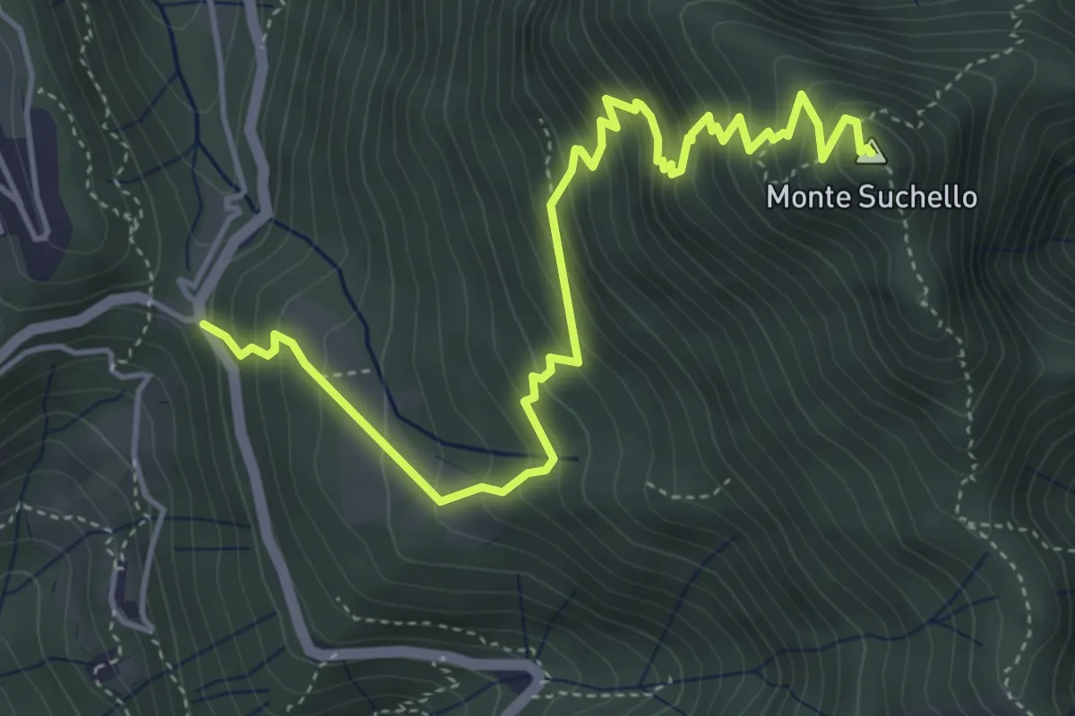
Medium · Summit
Costa Serina – Monte Suchello
5.5 km · ↑ 618 m · 2 h 39 min · 13 km away
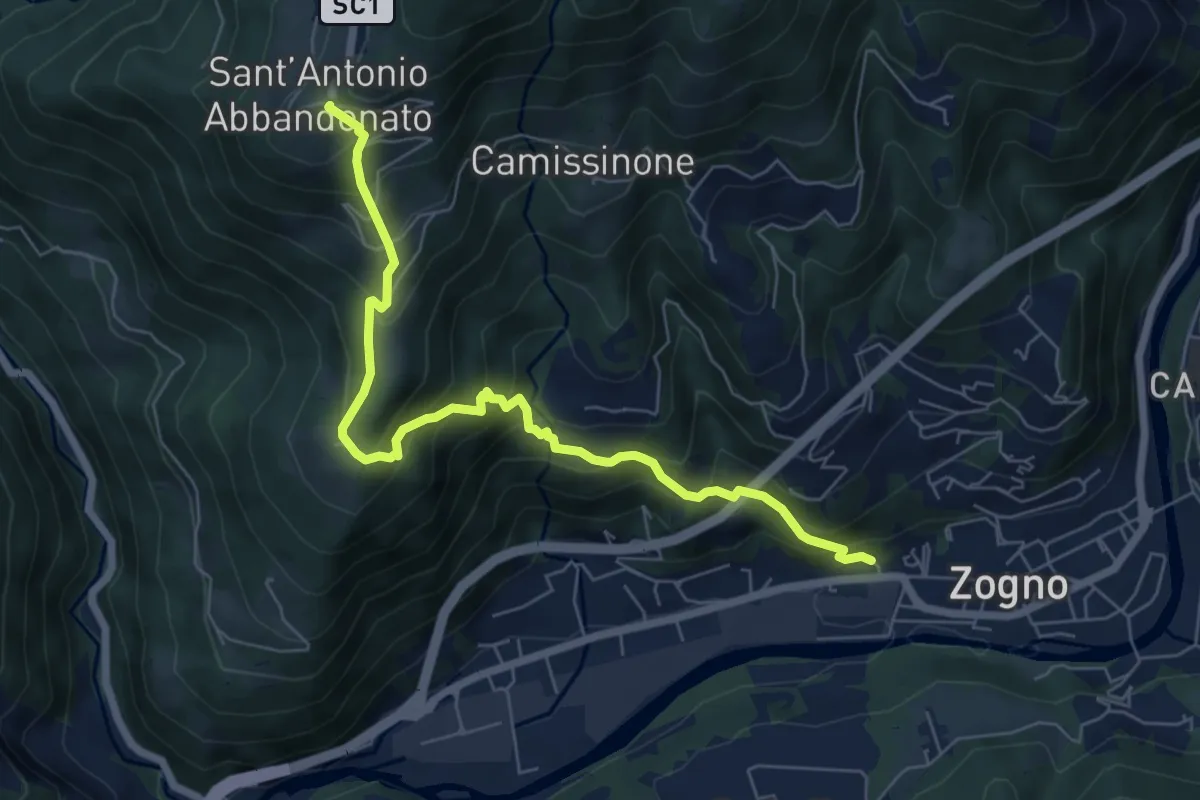
Medium · Trail
Zogno (via Sottocorna) – S. Antonio Abbandonato
7.2 km · ↑ 729 m · 3 h 16 min · 13 km away
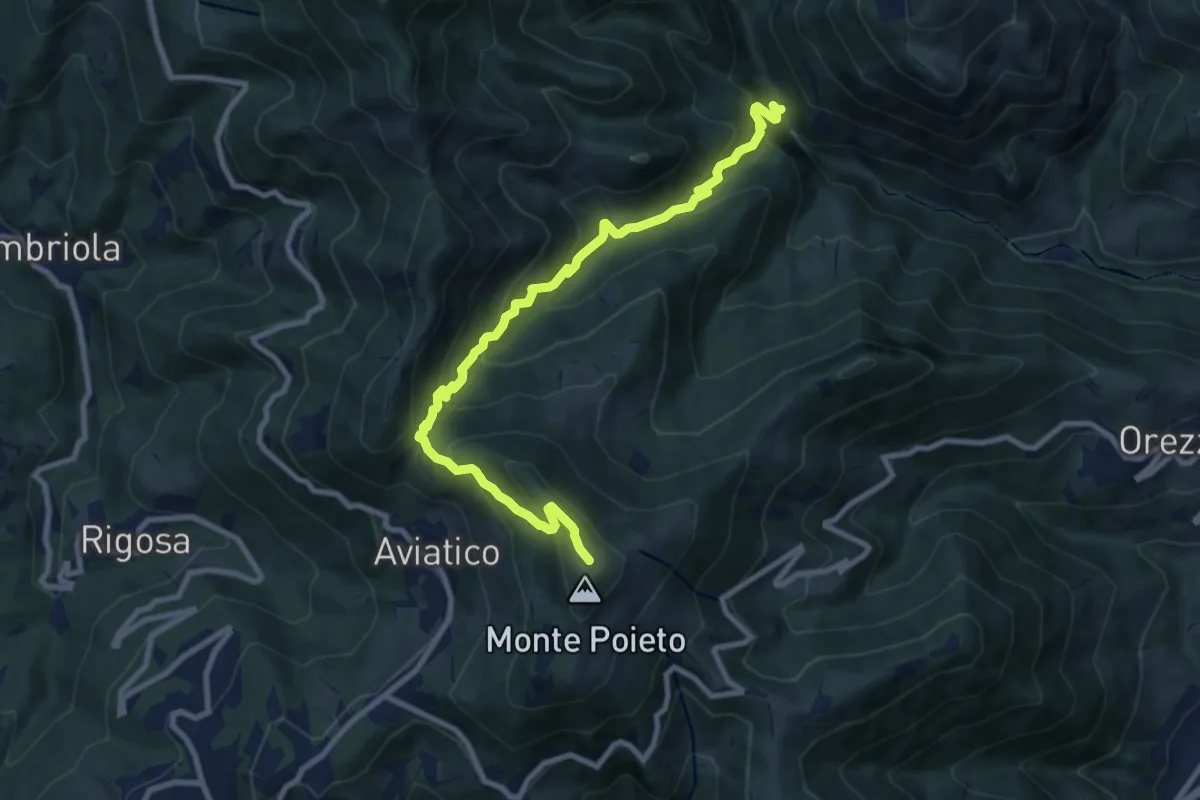
Demanding · Trail
Val Vertova – Monte Poieto
10.0 km · ↑ 782 m · 4 h 4 min · 13 km away
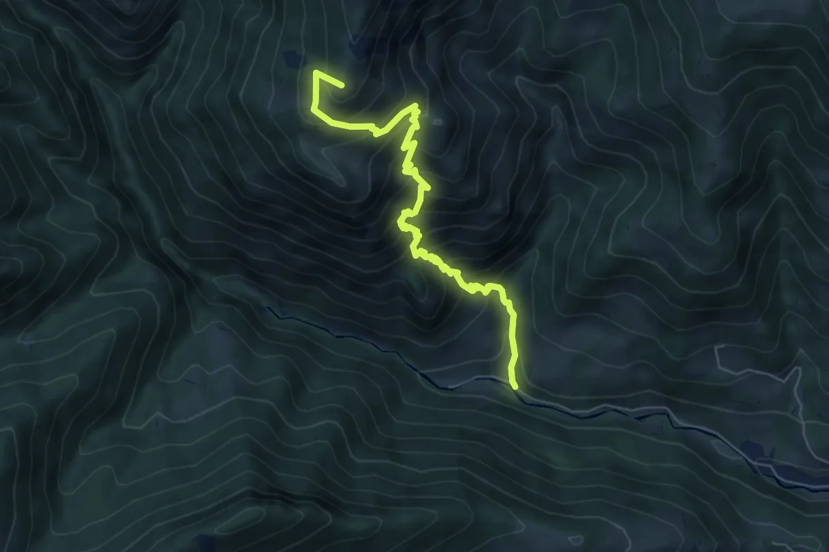
Medium · Summit
Vertova – Passo di Bliben
6.5 km · ↑ 709 m · 3 h 4 min · 13 km away
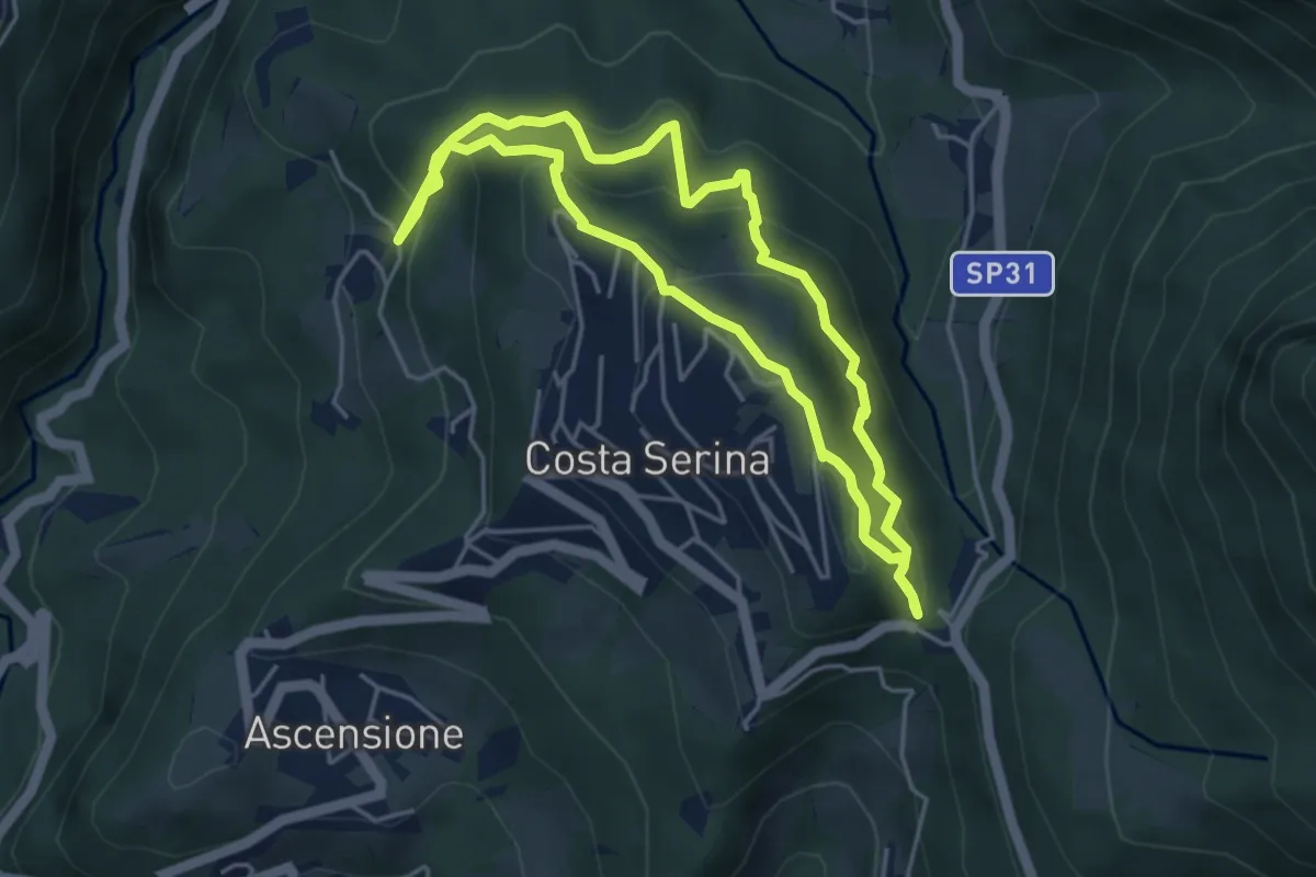
Medium · Trail
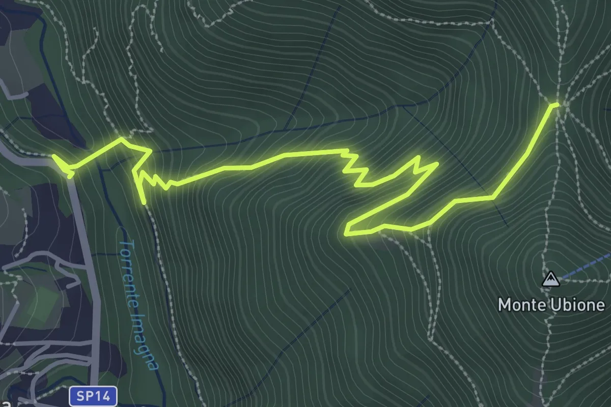
Sentiero Rosso
4.6 km · ↑ 352 m · 1 h 54 min · 13 km away
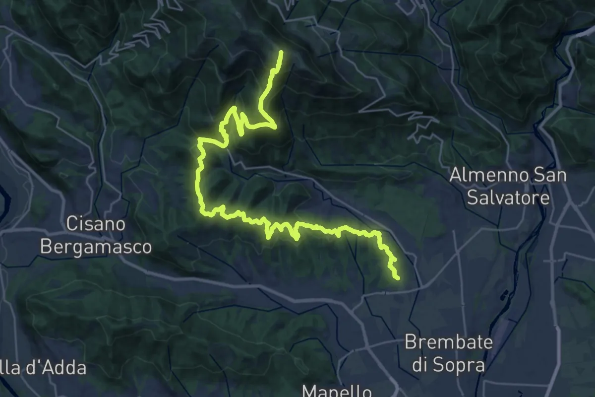
Medium · Trail
Strozza – Roccoli della Passata
4.5 km · ↑ 494 m · 2 h 8 min · 13 km away
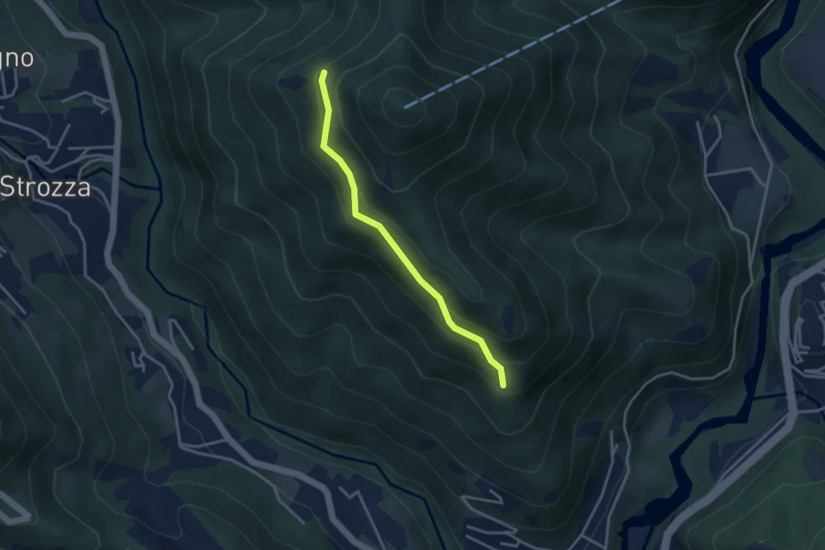
Demanding · Summit
Sentiero del Crinale
30.4 km · ↑ 1770 m · 11 h · 13 km away
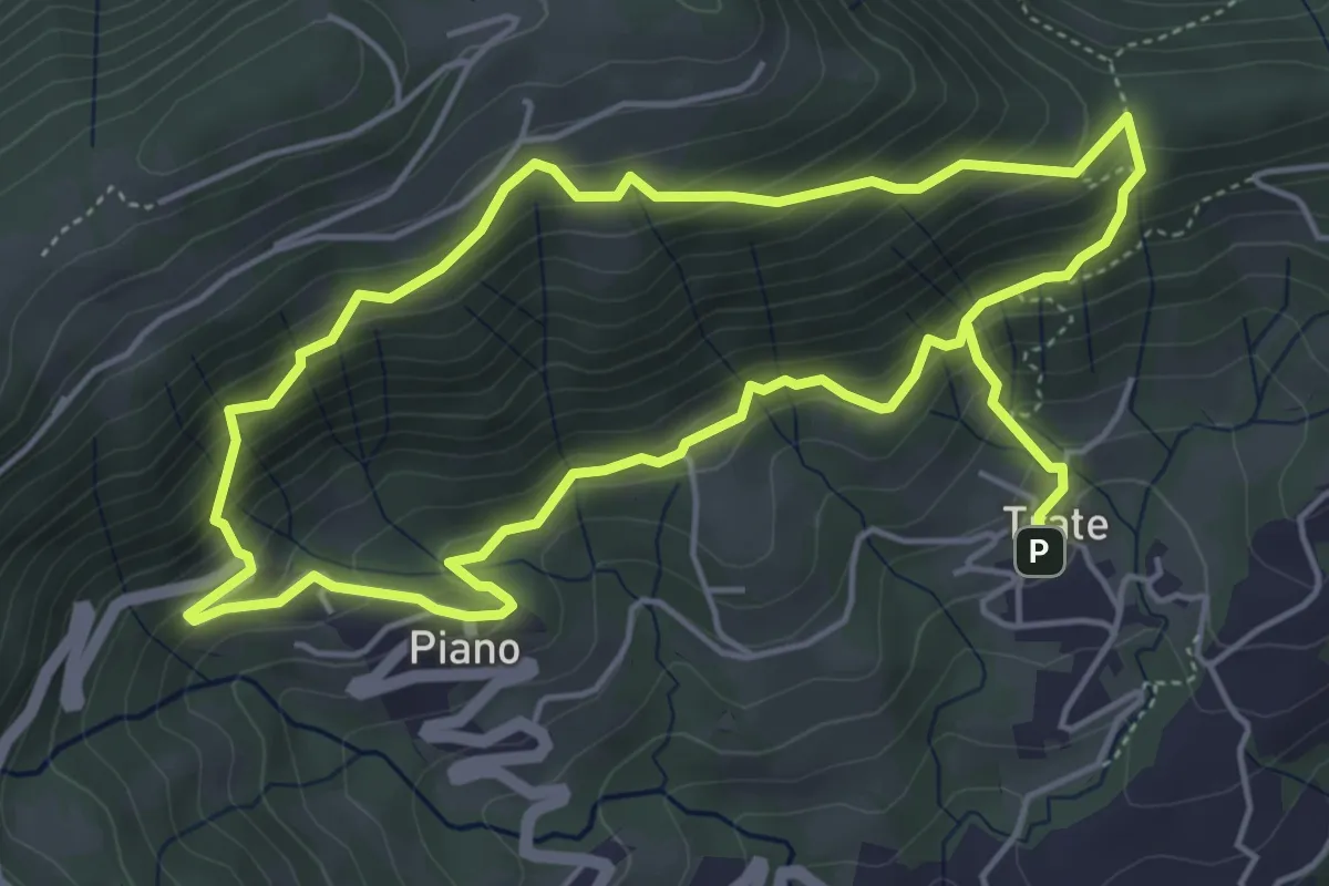
Medium · Trail
Incrocio 571 – Incrocio 584
2.7 km · ↑ 197 m · 1 h 4 min · 13 km away
Medium · Trail
Trate (Gaverina Terme) – Trate (Gaverina Terme)
4.9 km · ↑ 435 m · 2 h 7 min · 14 km away
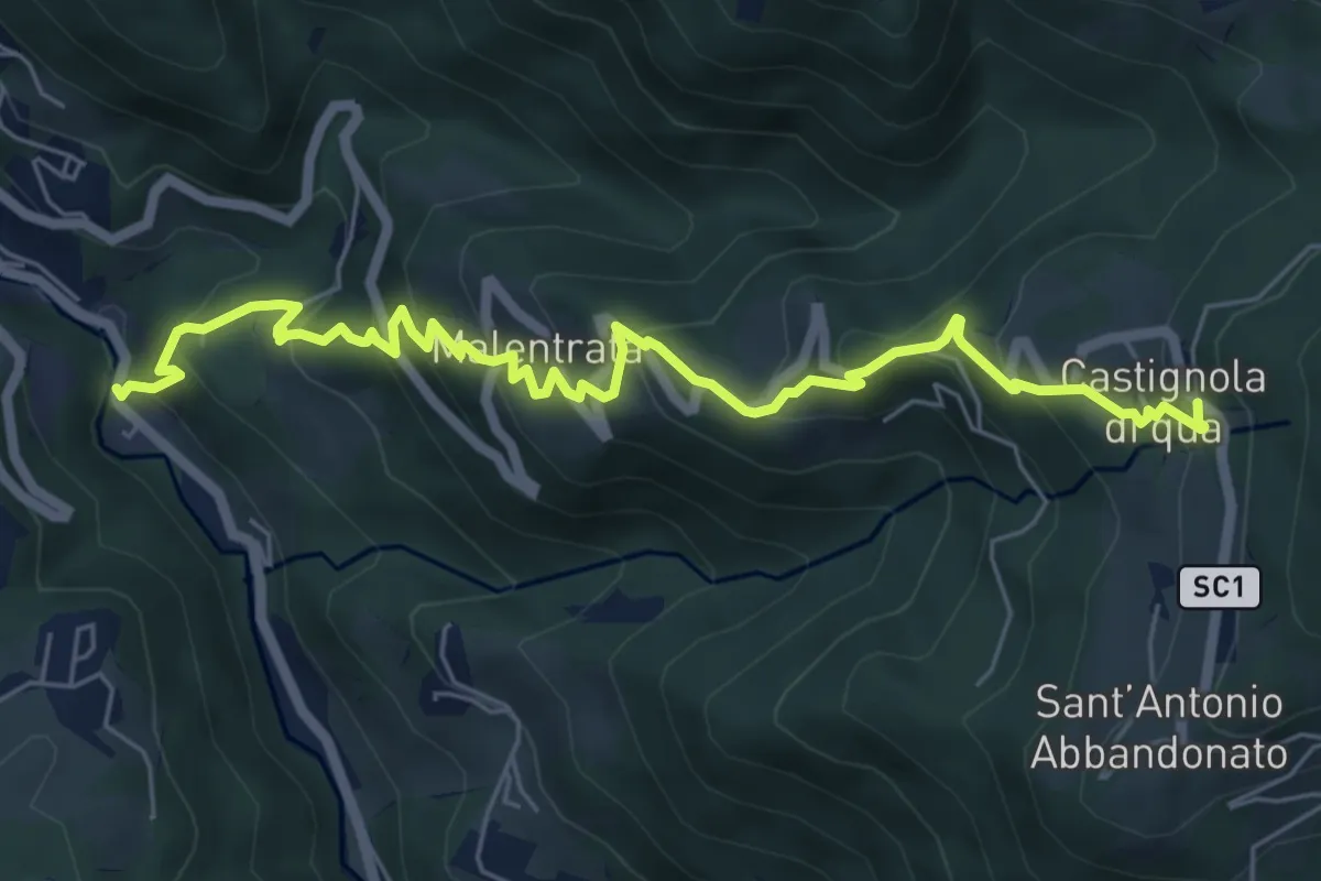
Medium · Trail
Magnavacche – Castignola di quà
7.3 km · ↑ 582 m · 2 h 59 min · 14 km away
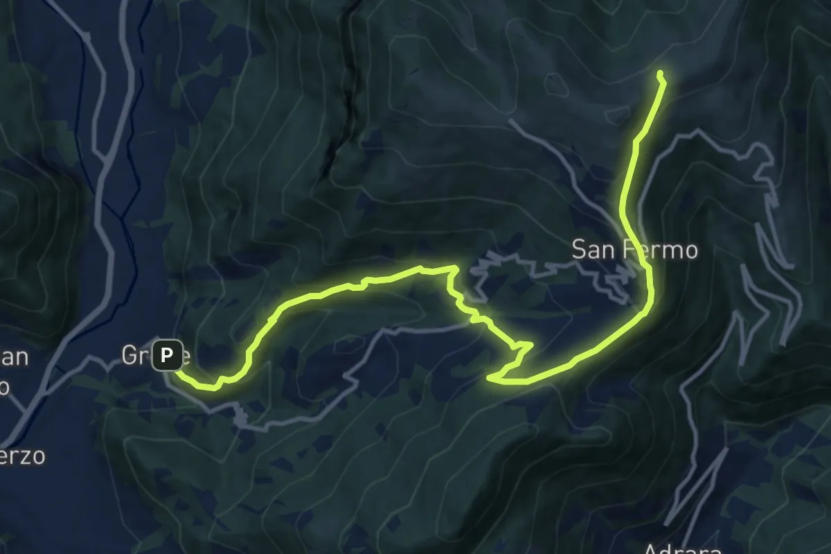
Demanding · Trail
Grone – Foppelle
14.1 km · ↑ 944 m · 5 h 22 min · 14 km away
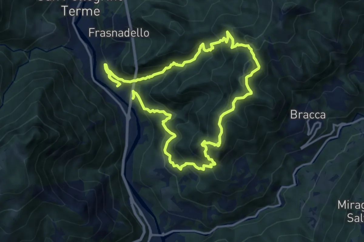
Expert · Summit
Pregalleno (San Pellegrino Terme) – Pregalleno
9.0 km · ↑ 836 m · 4 h 4 min · 14 km away
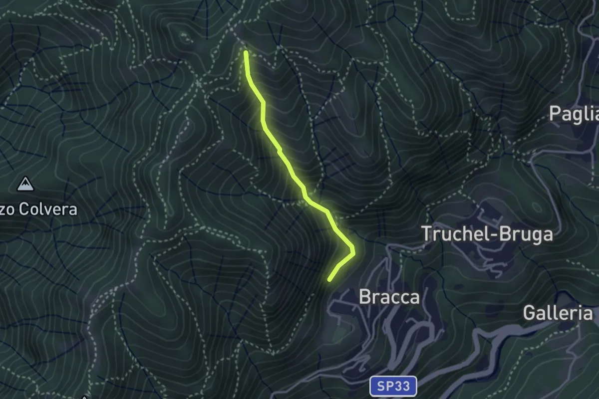
Medium · Trail
Incrocio 597 – Incrocio 597
2.4 km · ↑ 348 m · 1 h 19 min · 14 km away
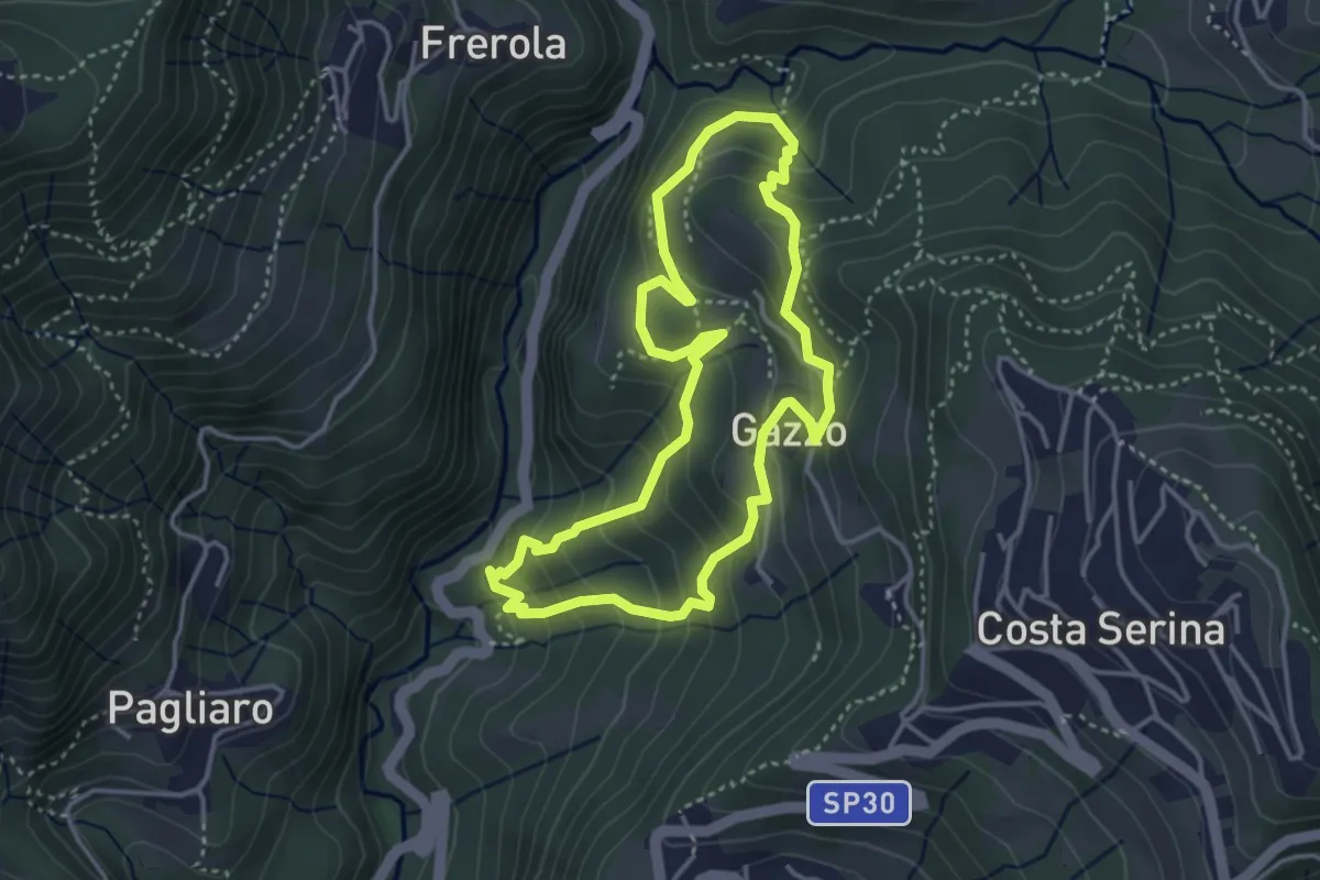
Medium · Trail
Sentiero Arancio
3.7 km · ↑ 280 m · 1 h 31 min · 14 km away
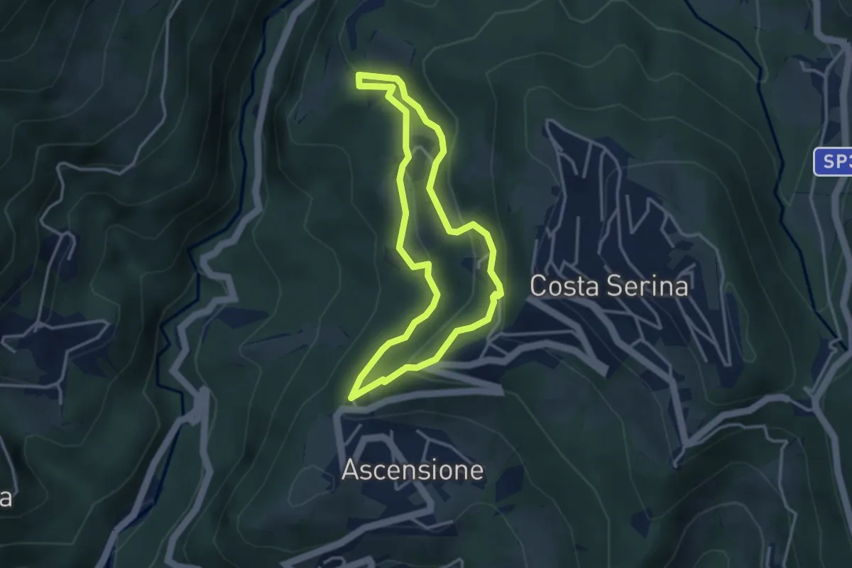
Medium · Trail
Sentiero Giallo
3.1 km · ↑ 159 m · 1 h 7 min · 14 km away
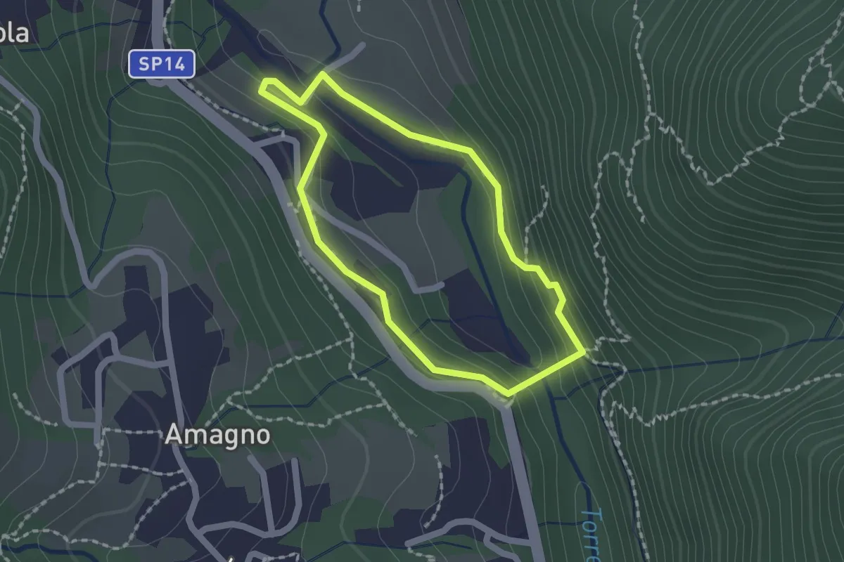
Easy · Trail
Anello del Poscadì
1.5 km · ↑ 62 m · 31 min · 14 km away
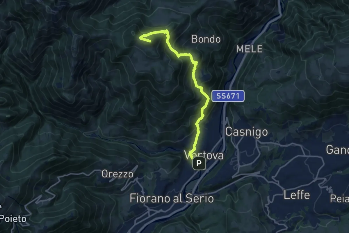
Demanding · Summit
Il Sentiero di San Patrizio
12.0 km · ↑ 934 m · 4 h 51 min · 14 km away